March 27, 2016: CODOS Update –
SUMMARY
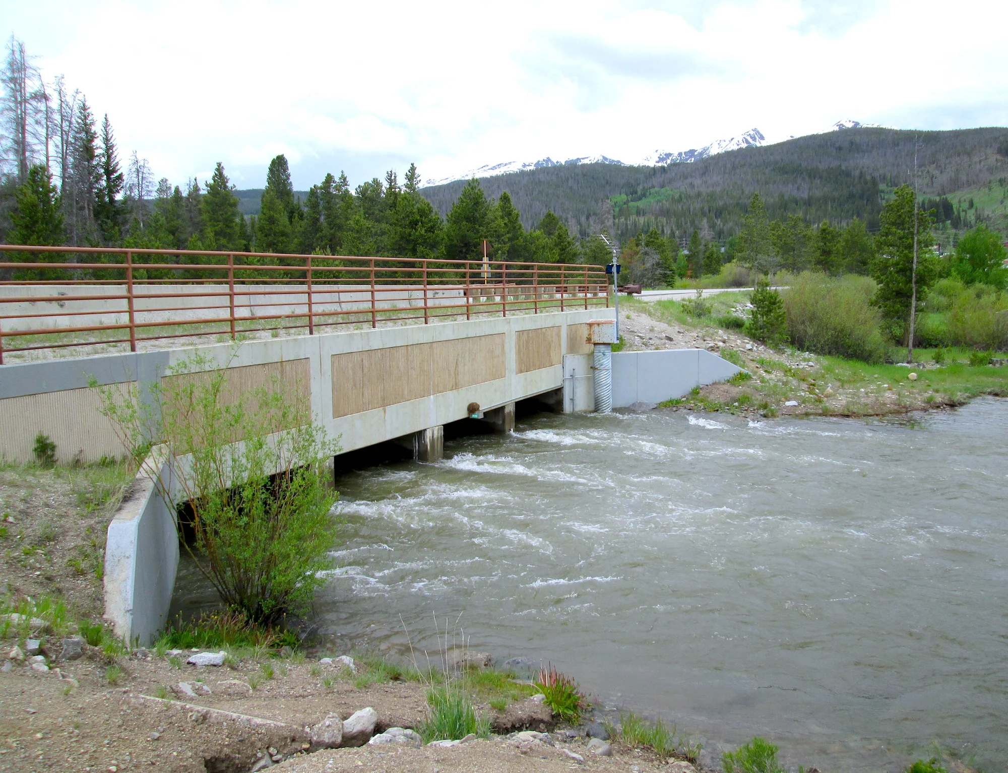
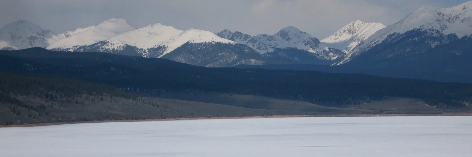
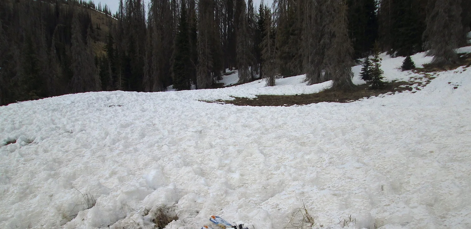
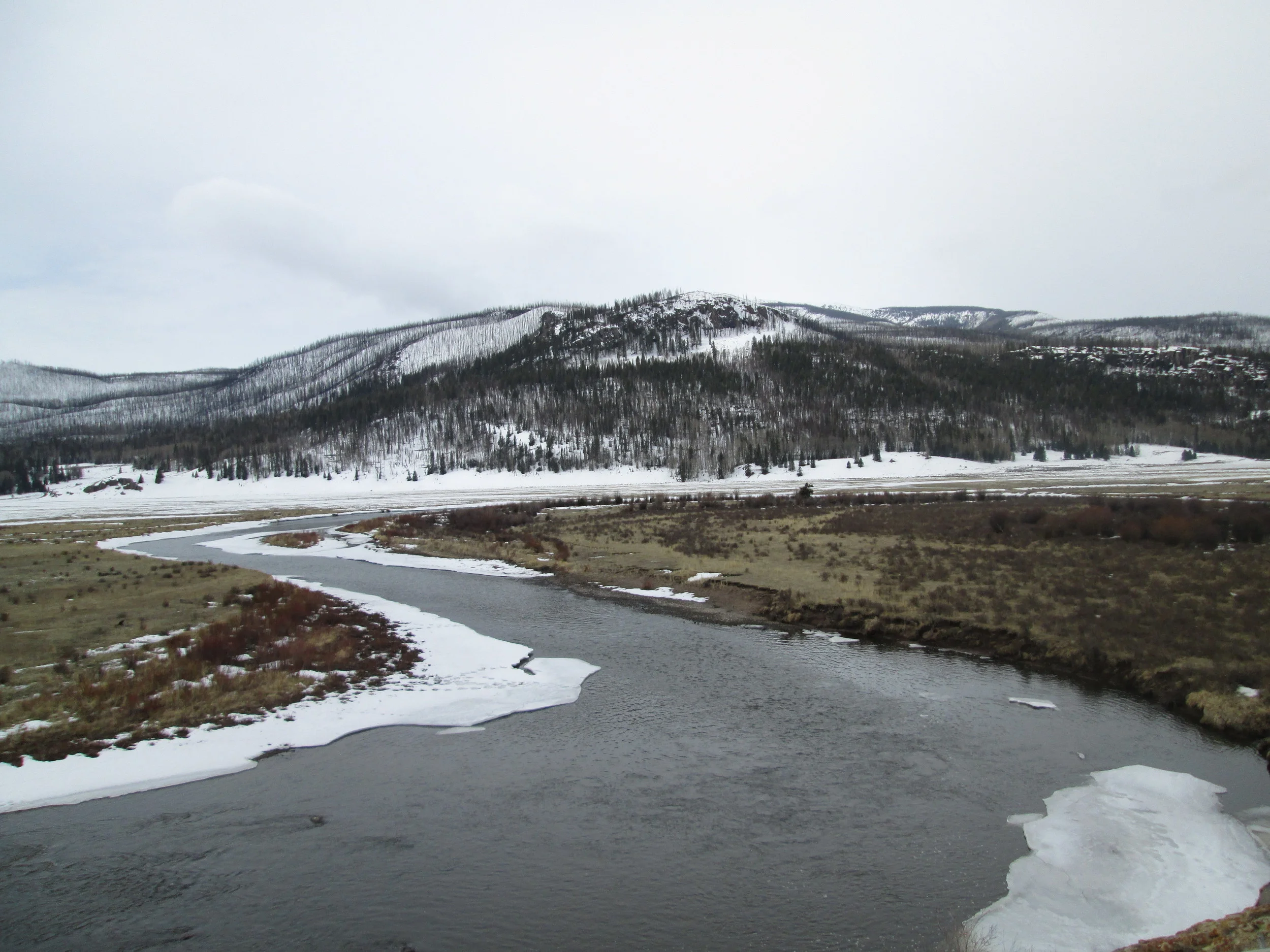
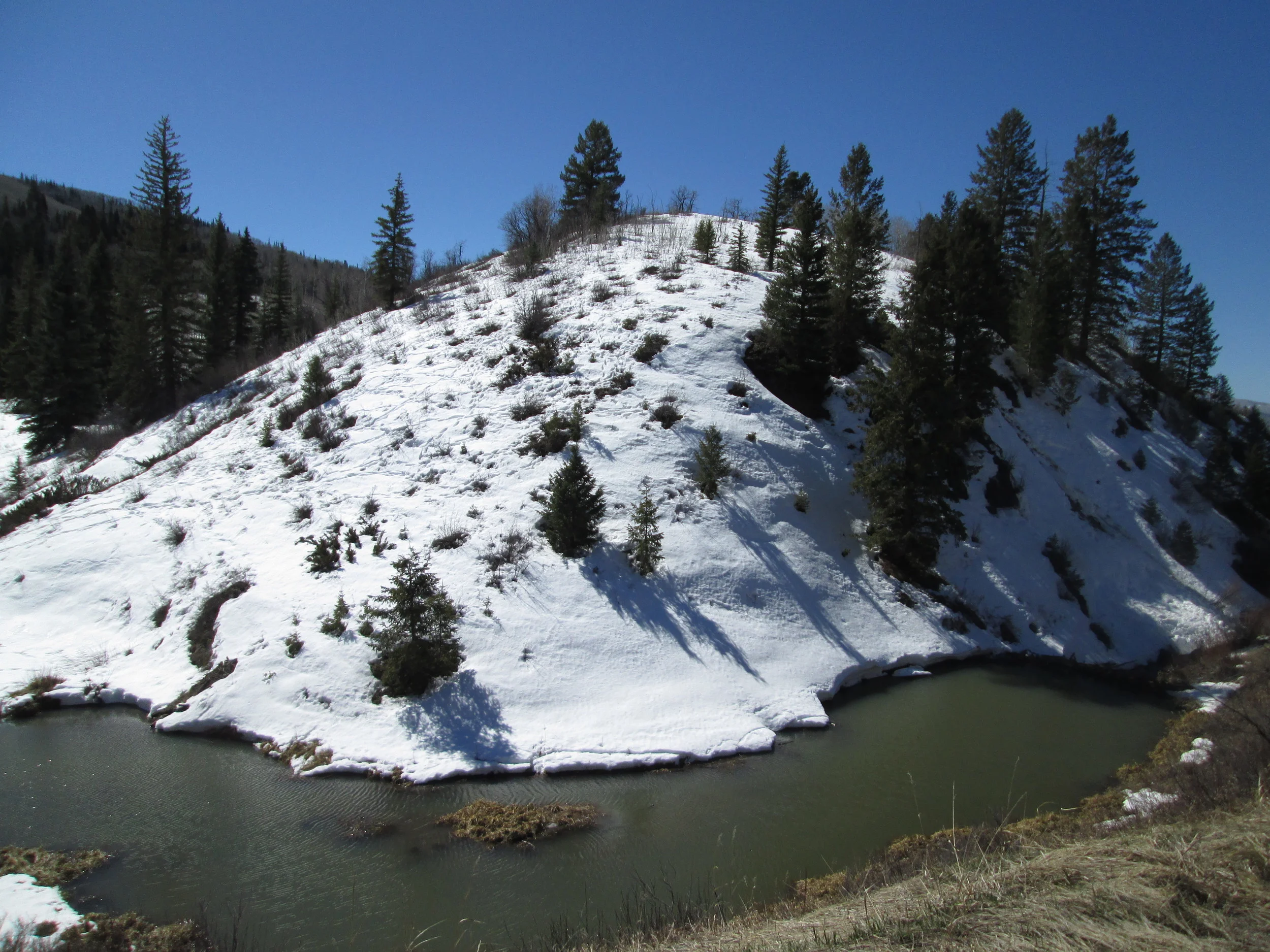
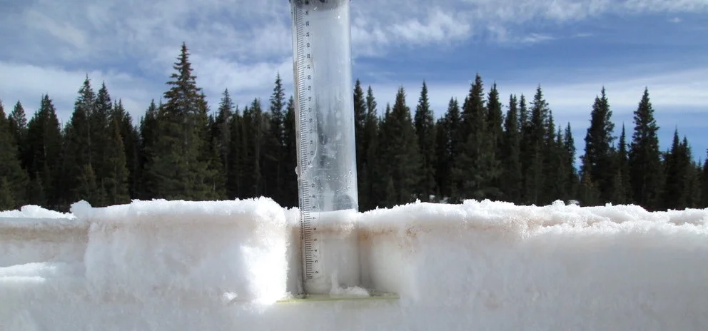
The timing of our Colorado Dust-on-Snow (CODOS) fieldwork has been tricky with attempts to work around multiple storm systems, but during a complete circuit of all eleven CODOS program monitoring sites, from March 19-23, 2016, we documented a complete absence of dust-on-snow at the north and northeast monitoring locations, and dust within and/or on the surface of the snow at the remaining central and southern locations. However, on Tuesday, March 22, dust event #3 for WY2016 (D3) occurred during the latter portion of the trip, so it is possible these sites that were dust free prior to March 22, now have dust (as well as the other sites) near the surface of the snowpack. The morning after D3 occurred the CODOS team visited Wolf Creek Pass, Spring Creek Pass, and our Swamp Angel study plot and documented the severity of the event, findings are discussed below. Since March 1st, snow water equivalent (SWE) information from SNOTEL sites that we originally characterized as low or average in the Southern Basins has largely deteriorated, and we have also recorded isothermal or near isothermal snowpack temperatures at a couple CODOS locations. SNOTEL data indicate Northern Basins have seen an overall increase in SWE, based on percentage of median values. Current near-term weather products indicate a slight reduced precipitation probability compared to the mid-February forecast, likely since we are approaching summer and a transition to ENSO-neutral is likely during late Northern Hemisphere spring or early summer. Temperature probability forecasts have also evolved from normal/below normal to above normal over this same period. Still, the prediction of a greater chance of precipitation than normal suggest there remains the possibility of maintaining, or improving snowpack conditions close to median Peak SWE in most Colorado watersheds. WY2016 March 1st SWE conditions ranged from “Low” to “High” on the Dust Enhanced Runoff Classification (DERC) model and are now trending, as of late March, “Dry” to “Avg” for spring precipitation conditions within that March 1st SWE domain. This being an active period for dust-on-snow events, it is still too early to characterize dust conditions as being either “Min”, “Avg”, or “Max” for the winter season.
DUST CONDITIONS
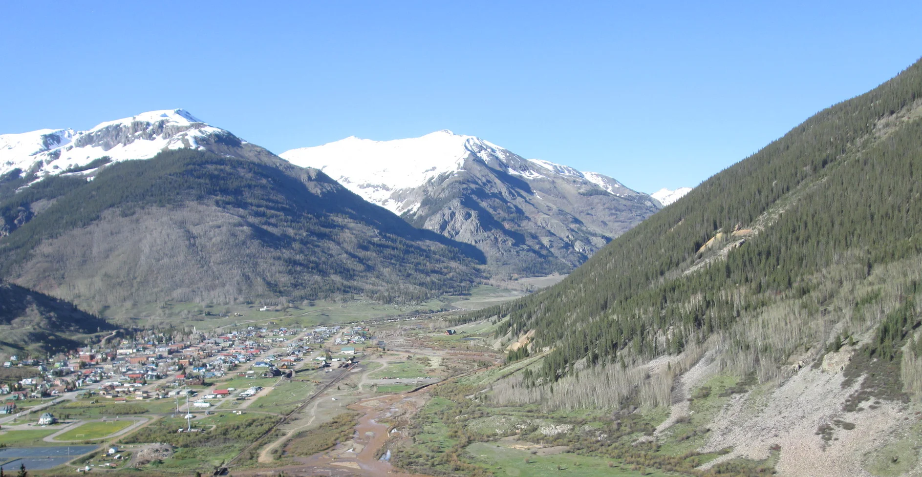
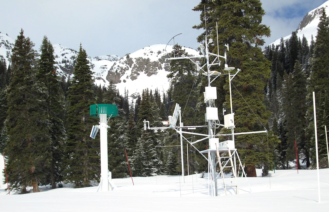
We are now nearly a month into the March/April/May dust-on-snow season with a total of three dust-on-snow events having been observed so far at the Senator Beck Basin site at Red Mountain Pass, and dust was observed at half of our other ten CODOS sites during the March 19-23, 2016 circuit. Typically the San Juan Mountains receive 8-9 dust-on-snow events a winter, based on observations going back to 2005. Storm opportunities are also dust opportunities, and the Senator Beck sentry site is starting to fall behind on storm counts (defined as greater than 12 mm of precipitation with no break in precipitation greater than 12 hours). By this point in the season the average storm events having occurred is 19 (see graph below). That said, after the storm on March 23 we are now at Storm #16, and as of this writing Saturday morning, March 26, we are now receiving Storm #17. Five of the now 17 storms have occurred in the last 2-months. Near-term forecasts call for a greater than average chance of precipitation (see forecast discussion below) and this implies, coupled with the necessary soil, weather, and wind conditions, an increased chance of more dust-on-snow events for Colorado from SW’ly wind fields over the Southern Colorado Plateau.