
Greetings from Silverton on May Day Eve,
Compared to mountains farther north and east of us, the San Juan Mountains have seen substantially less snowfall since the D3 event of April 14/15. That thinner layer of new and clean snow, from our Storms #13 and #12, is now melting rapidly and revealing our merged dust layers D3/D2/D1 on east-, south-, and west-facing slopes where D3 fell onto existing snowcover, and on 'flat' terrain. As is typically the case, the highest, north-facing terrain currently retains the most recent new snow and correspondingly higher snow albedo. Otherwise, snow albedo is currently declining here in the San Juan Mountains, albeit relatively subtly, producing corresponding upticks in snowmelt rates and streamflows following a period of declining or 'flat' flow levels.
Emergence of merged dust layers D3/D2/D1 is also likely well underway on Grand Mesa and in much of the Gunnison Basin. The ablation of clean snow and emergence of dust layer D3, where present, will be somewhat slower in the more northern Central Mountains, Northern Mountains, and Front Range, wherever the snowfalls since April 14/15 were heavier. Our April 24 and April 20 Updates contain snow profiles at each CODOS site that show the amount of new snow (and water content) overlying dust layer D3, as of the date of the site visit.
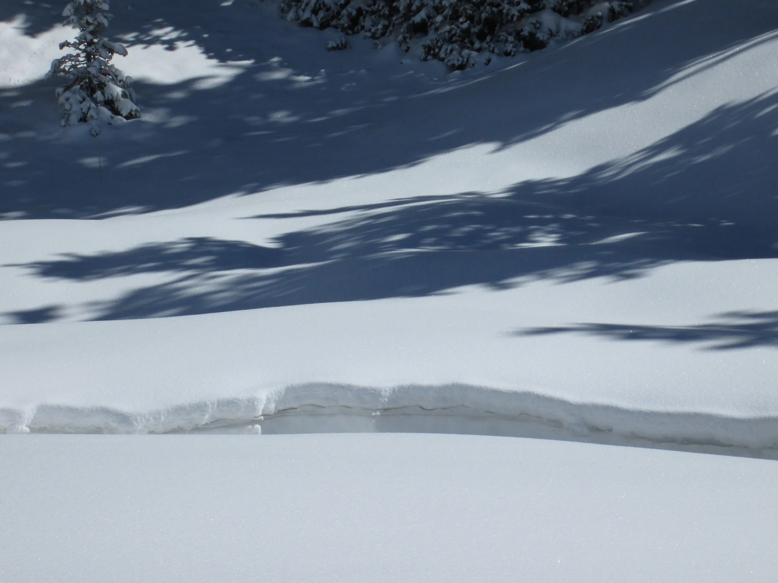
Showers over this weekend, and a possibly more substantial weather system early next week, may 'refresh' the snow surface with still more clean snow, further delaying the inevitable dust emergence or briefly restoring higher snow albedo where D3 had emerged. In the absence of additional dust-on-snow, reductions in snow albedo are currently, or will be, comparatively minor, when contrasted with recent spring seasons (my photographs do not adequately capture the relatively subtle changes in albedo currently underway here in the San Juans, hence no attached photos). Nonetheless, even 'small' reductions in snow albedo can result in enough additional absorption of solar energy to accelerate snowmelt rates and shorten the lifespan of the remaining underlying snowcover, as long as the dust stays exposed at or near the snowpack surface.
In the face of our severely sub-par and dwindling Colorado snowpack, this is unwelcome news, I'm quite sure. If the NOAA Climate Prediction Center's recent outlook for a wetter-than-normal May (see Weather and Climate discussion at the end of the April 24 Update) is actually playing out, as seems to be the case at least next week, then spring storms may continue to disrupt the dust effect on snow albedo with frequent doses of clean new snow, extending the life of the current snowcover. A miserable, stormy May for the Colorado mountains is just what the doctor would order to prolong the lifespan of the remaining WY 2015 snowmelt runoff ...
More soon,
Chris