SUMMARY
Colorado has begun March with “high” conditions completely dominating the range of snowpack conditions among major basins across the Colorado Mountains. This update summarizes snowpack conditions state-wide and evaluates March 1st snow water equivalent (SWE) data from SNOTEL stations associated with our eleven CODOS sites and places them within the framework of the Dust Enhanced Runoff Classification scheme (DERC) developed by CODOS. A summary is presented by individual Basin, and provides a site-specific analyses for each CODOS site (linked below).
Dust Free So Far and Healthy Snowpack
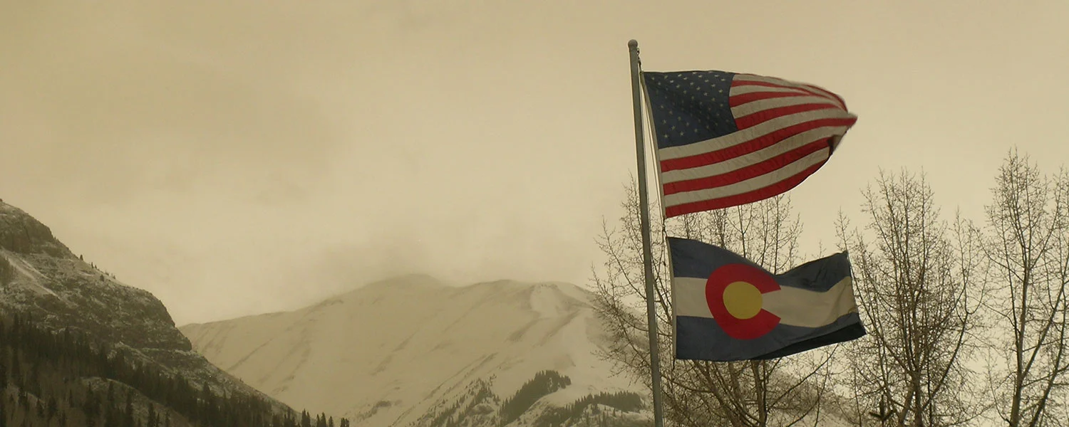
Greetings From Silverton,
Despite a dry and lackadaisical start to winter, persistent snowcover in Senator Beck occurred on November 21, we have seen a major turn-around with a steady stream of productive storms. We have received eight winter storms so far (Storm #8 Report will follow shortly) that in and of themselves have totaled ~10.0" of water. Snow depth at Swamp Angel is at 4.5’ and the wind effected Senator Beck site is lingering around 1.5’.
Dust Free So Far and Healthy Snowpack
Greetings From Silverton,
Despite a dry and lackadaisical start to winter, persistent snowcover in Senator Beck occurred on November 21, we have seen a major turn-around with a steady stream of productive storms. We have received eight winter storms so far (Storm #8 Report will follow shortly) that in and of themselves have totaled ~10.0" of water. Snow depth at Swamp Angel is at 4.5’ and the wind effected Senator Beck site is lingering around 1.5’.
SUMMARY
Colorado has begun March with “high” conditions completely dominating the range of snowpack conditions among major basins across the Colorado Mountains. This update summarizes snowpack conditions state-wide and evaluates March 1st snow water equivalent (SWE) data from SNOTEL stations associated with our eleven CODOS sites and places them within the framework of the Dust Enhanced Runoff Classification scheme (DERC) developed by CODOS. A summary is presented by individual Basin, and provides a site-specific analyses for each CODOS site (linked below).
Dust Free So Far and Healthy Snowpack
Greetings From Silverton,
Despite a dry and lackadaisical start to winter, persistent snowcover in Senator Beck occurred on November 21, we have seen a major turn-around with a steady stream of productive storms. We have received eight winter storms so far (Storm #8 Report will follow shortly) that in and of themselves have totaled ~10.0" of water. Snow depth at Swamp Angel is at 4.5’ and the wind effected Senator Beck site is lingering around 1.5’.
SUMMARY
Colorado has begun March with “high” conditions completely dominating the range of snowpack conditions among major basins across the Colorado Mountains. This update summarizes snowpack conditions state-wide and evaluates March 1st snow water equivalent (SWE) data from SNOTEL stations associated with our eleven CODOS sites and places them within the framework of the Dust Enhanced Runoff Classification scheme (DERC) developed by CODOS. A summary is presented by individual Basin, and provides a site-specific analyses for each CODOS site (linked below).
SUMMARY
After a worrisome October and November when Colorado received very little precipitation and experienced very warm temperatures, winter finally kicked into action and Colorado started receiving abundant snowfall, building the snowpack rapidly during the months of December, January, and into February. One of the big stories this winter season is the atmospheric rivers that fueled these productive storms, which were record breaking in some locations. On the other end of the spectrum, one of the other big stories this winter is the observed warmest March on record. The effects of this hot month (preceded by a very warm February) was a rapid warming of the snowpack and snowmelt at lower elevations and valleys, resulting in most stream gauges observed a 2-3 week bump in stream flow in mid-March thru the first part of April. However, Colorado recovered from the hot/dry spell with a long stretch of regular precipitation beginning around March 23 – April 4. A dry spell was again repeated April 5-19. And, starting the latter part of April regular precipitation (however sparse) was observed steadily but intermittently until June 1.
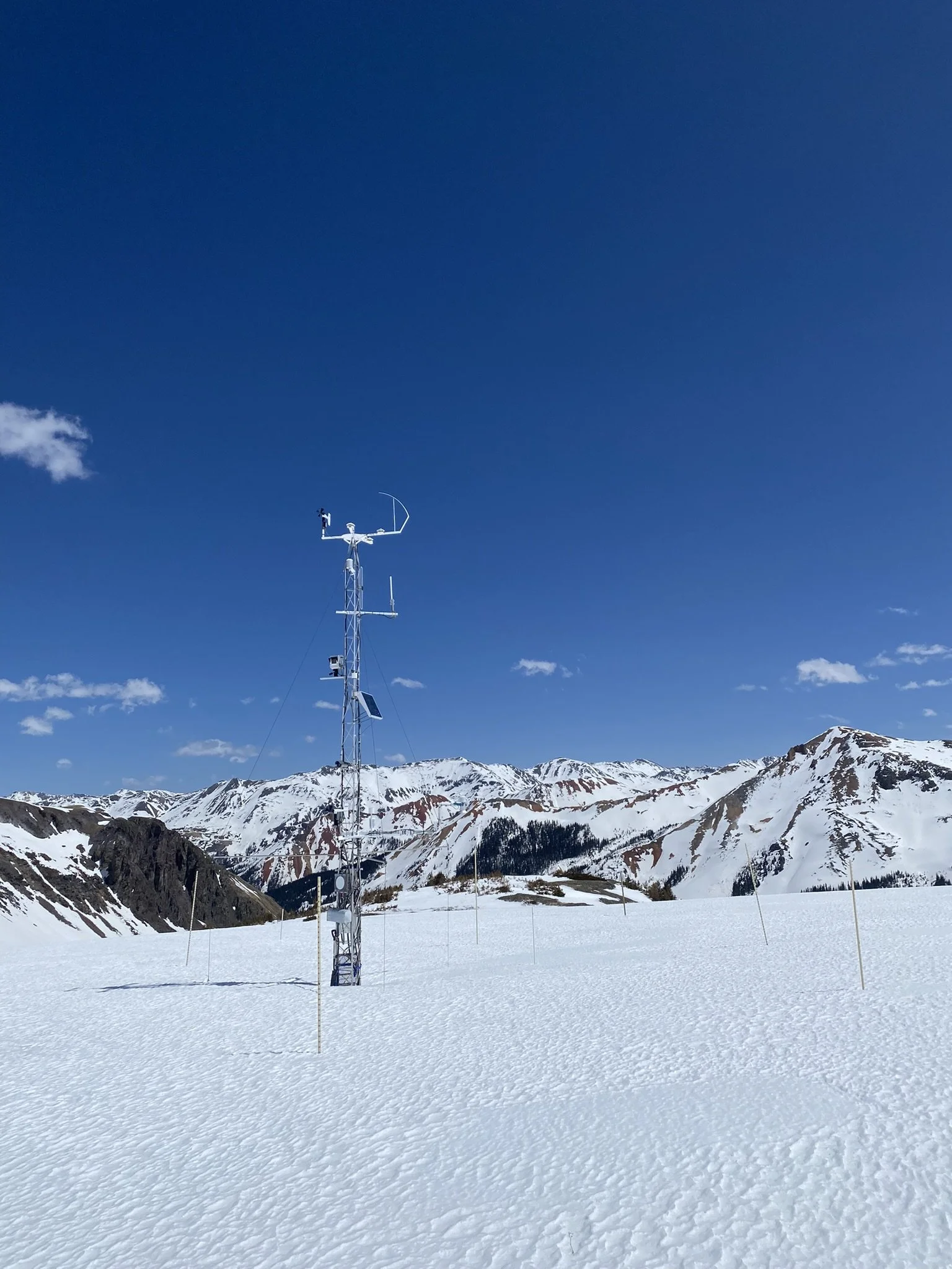
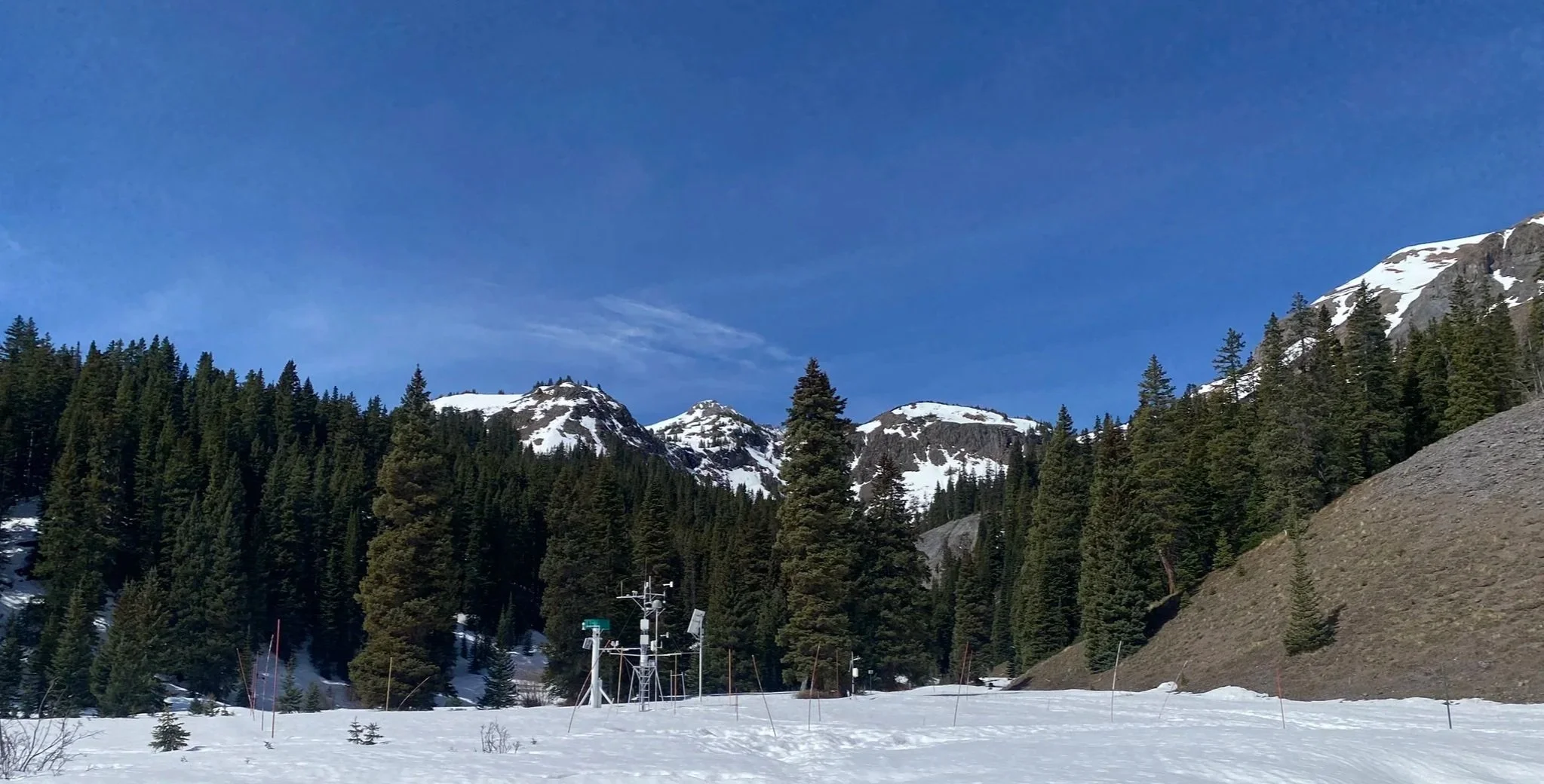
At the Center for Snow and Avalanche Studies’ (CSAS) Senator Beck Basin Study Area (SBB) at Red Mountain Pass, the primary Colorado Dust-on-Snow Program (CODOS) monitoring site, WY2017 produced a total of four separate dust-on-snow events, on the light side of a typical dust loading season based on observations going back to WY2005. Dust season began relatively late in the season. With the abundant moisture in the dust source area, the Southern Colorado Plateau, dust mobilization was kept in check until March when soils started drying out. Dust-on-snow events March 5, 23, 31 and on April 9 were documented. Surprisingly no dust events were observed the rest of April and May, although a couple haze events were noted. On June 12 a big dust storm in the desert southwest was observed with the USGS dust cameras, additional dust on any remaining snow in the Colorado Mountains was not observed at lower elevations, but it is possible some higher elevation snow cover could have received additional dust from this event. Of the four documented dust events, two of these events were pretty heavy in their severity. The end result, even though total mass loading of dust was light, with the location of the dust in the snowpack (i.e. upper portion) and its consequential role in snowmelt, we classified dust severity as “Average”, albeit the lighter side of average at SBB. Northern and some Central CODOS sample sites in Colorado were classified as “Minimum” dust severity. The transition from “Average” to “Minimum” severity took place in Central Colorado, thus some Central and all Southern CODOS sites were classified as “Average”.
Dust Free So Far and Healthy Snowpack
Greetings From Silverton,
Despite a dry and lackadaisical start to winter, persistent snowcover in Senator Beck occurred on November 21, we have seen a major turn-around with a steady stream of productive storms. We have received eight winter storms so far (Storm #8 Report will follow shortly) that in and of themselves have totaled ~10.0" of water. Snow depth at Swamp Angel is at 4.5’ and the wind effected Senator Beck site is lingering around 1.5’.