CODOS UPDATE April 29, 2025: Senator BEck Basin Obs, Dust Event Skirted
Greetings from Silverton,
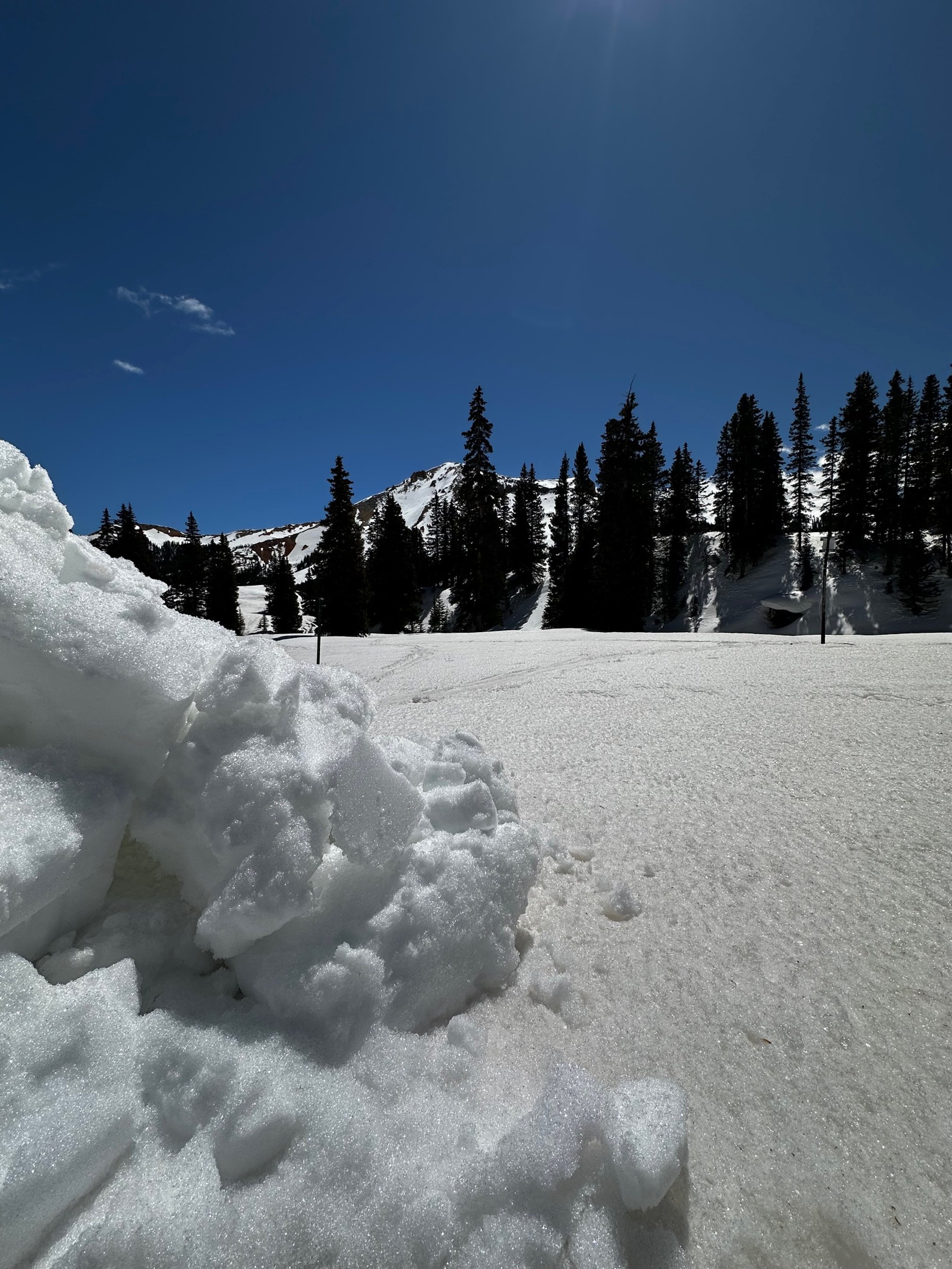
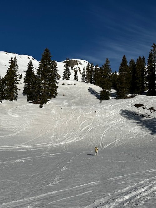
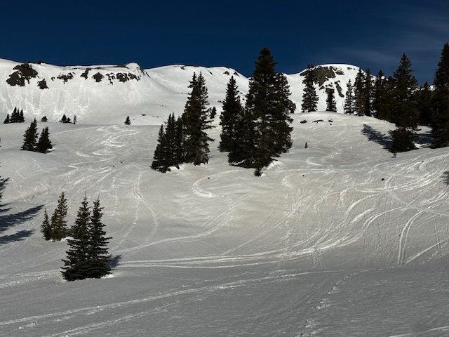
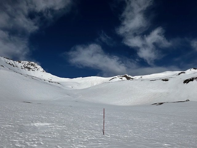
Visiting our Senator Beck study sites on Friday and Monday showed we are about in the same condition as our last report. Mild dust is at the surface and below treeline there is another light dust layer about mid-pack. Dust severity has remained mild this spring which has been a surprise. Over the weekend southern Colorado was hit hard with strong winds and a big dust plume kicked up in New Mexico but fortunately stayed south of the Colorado mountains as it worked it’s way east.
The warm and mostly dry April has whittled away our meager snowpack towards the south at rapid pace. The first part of April it looked like we were going to drop fast to record low levels, and some southerly basins definitely dipped their toes in the lower minimum projections, but we did receive a couple storms this April that gave a modest boost to SWE and temporarily slowed melt.
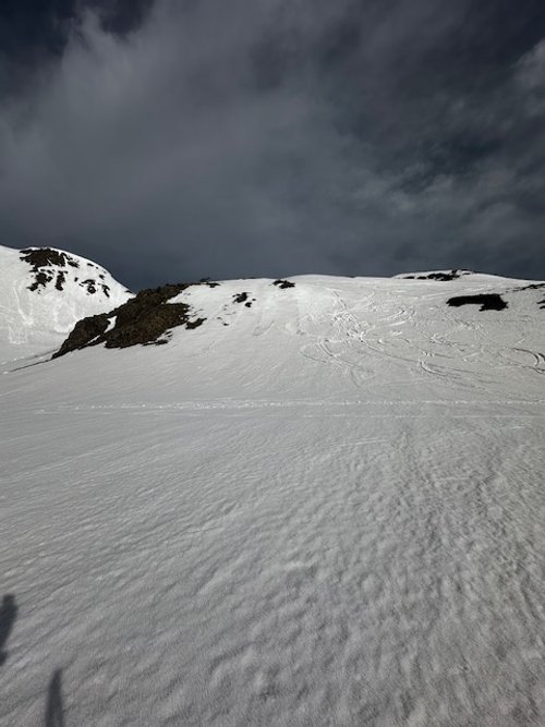
There is some activity in the forecast over the next week. Here in our neck of the woods we could see upwards of 2” precipitation. This weather will slow snowmelt and cover the surface dust. Not long after this snowy period we will be reporting on our dust-on-snow observations throughout Colorado, so stay tuned.
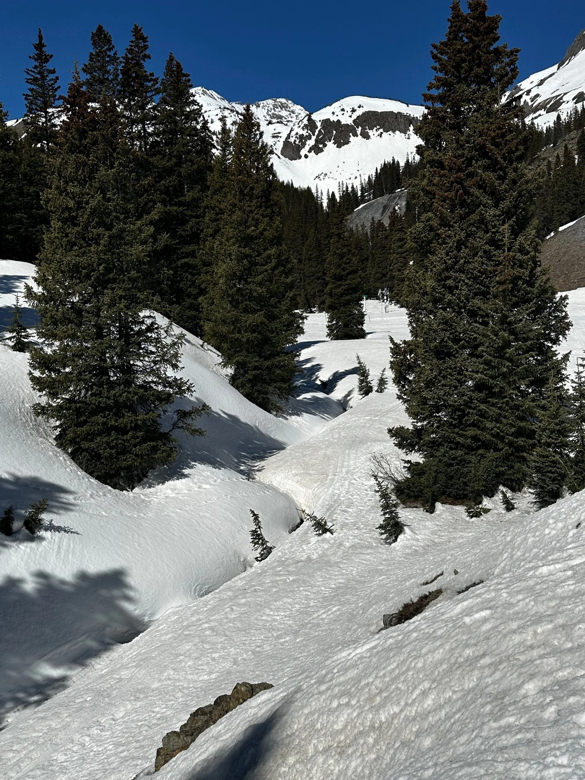
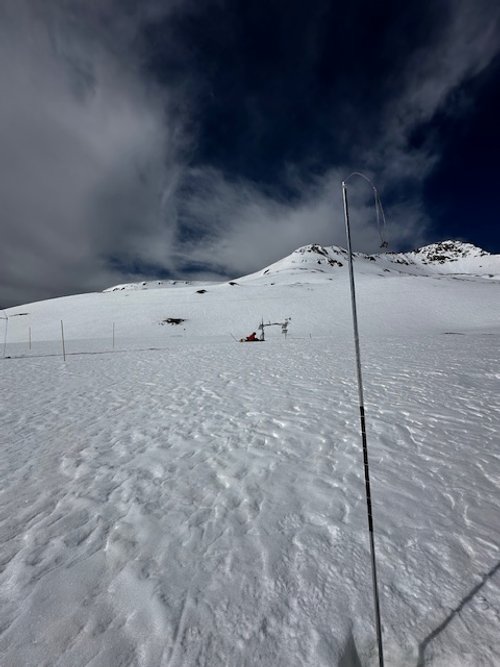
Below: Swamp Angel on April 28. We measured 18.9” SWE, with depth of 4.2’, and density of 371 kg/m^3. The overall dust severity has not changed over the last few weeks. A couple of light dust layers have merged at the surface and a couple light layers are still buried under the snow.
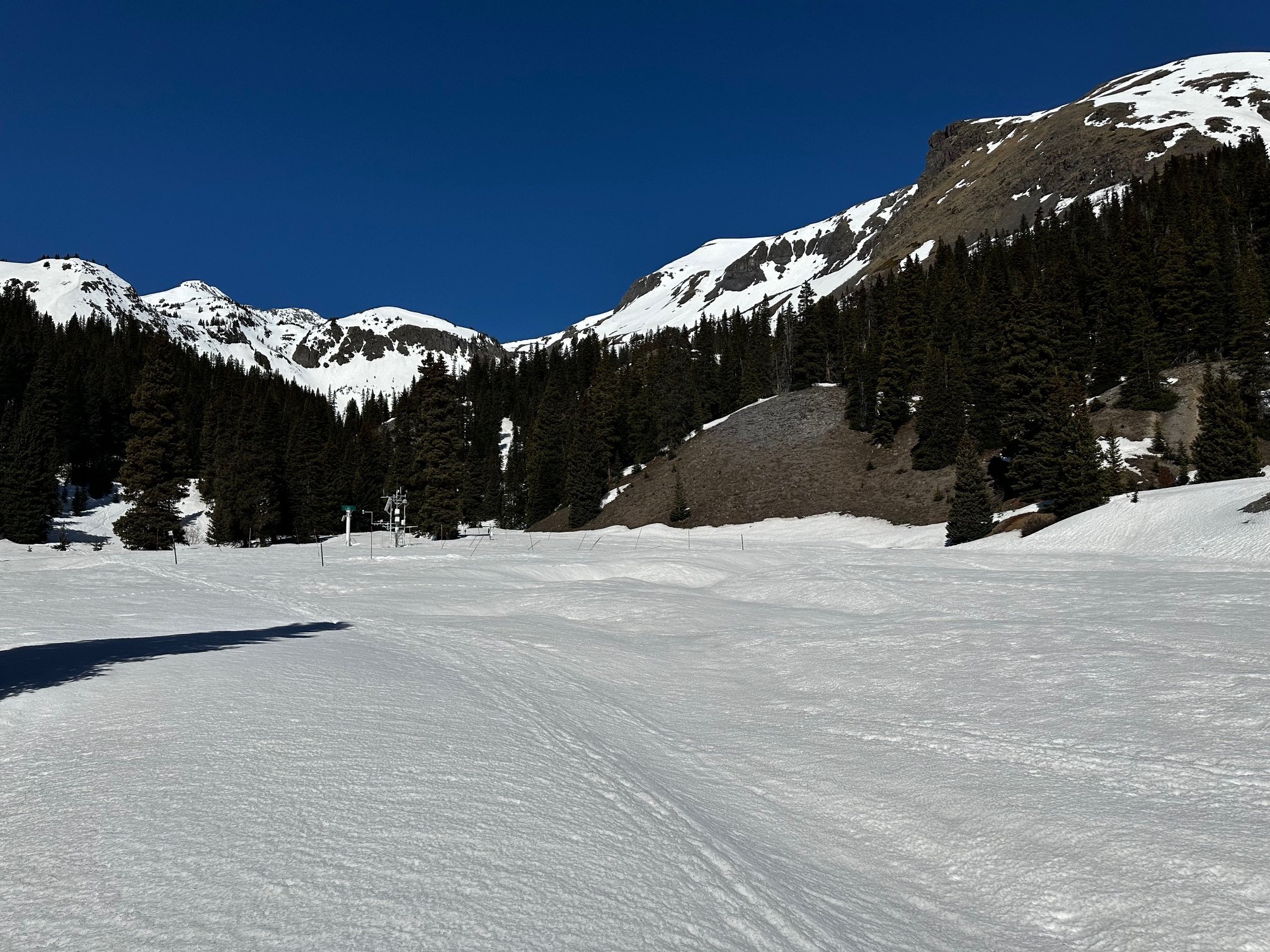
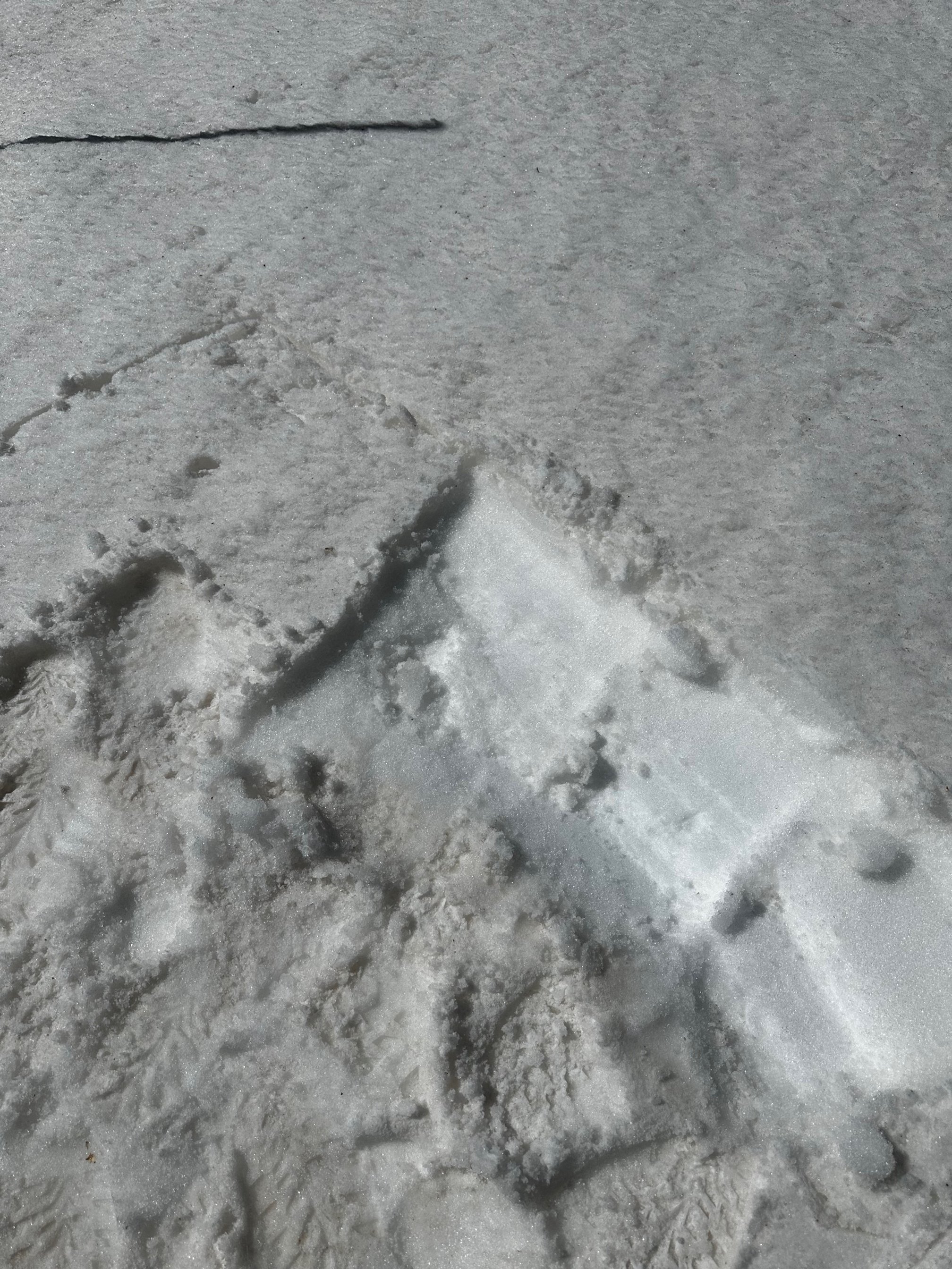
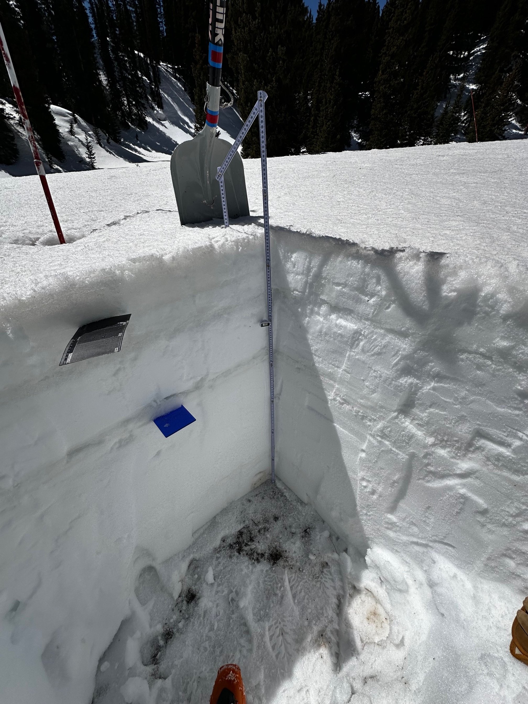
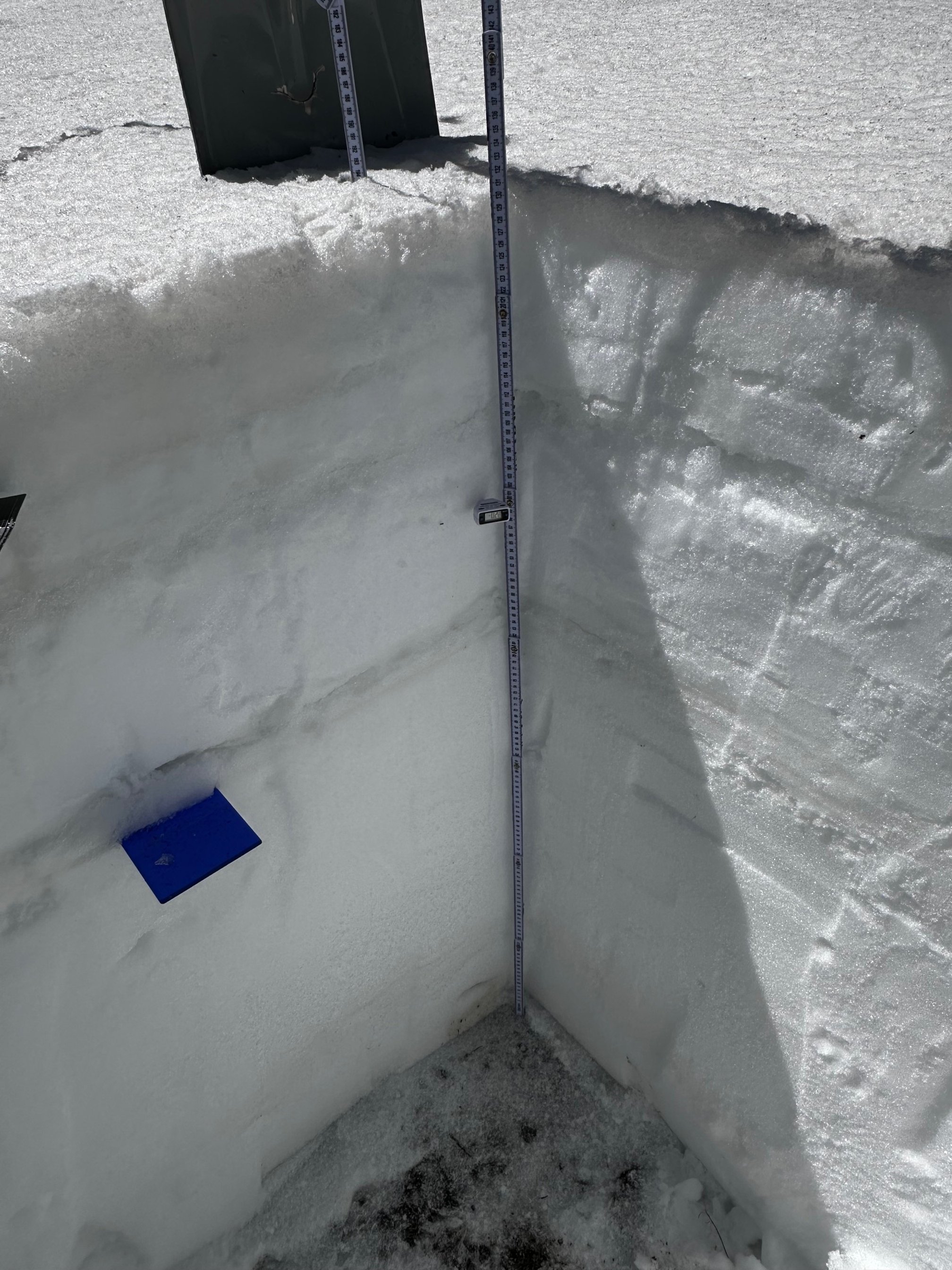
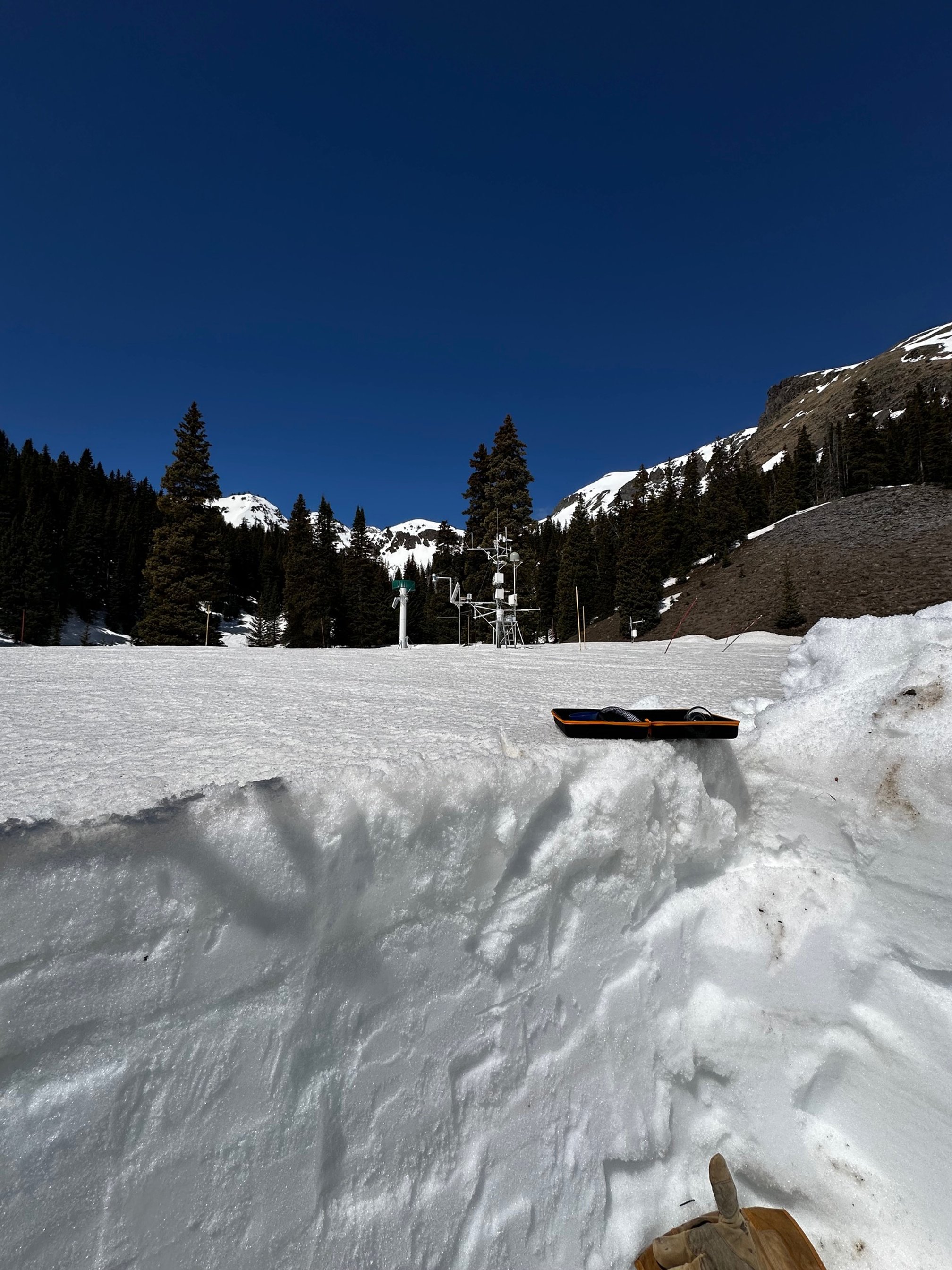
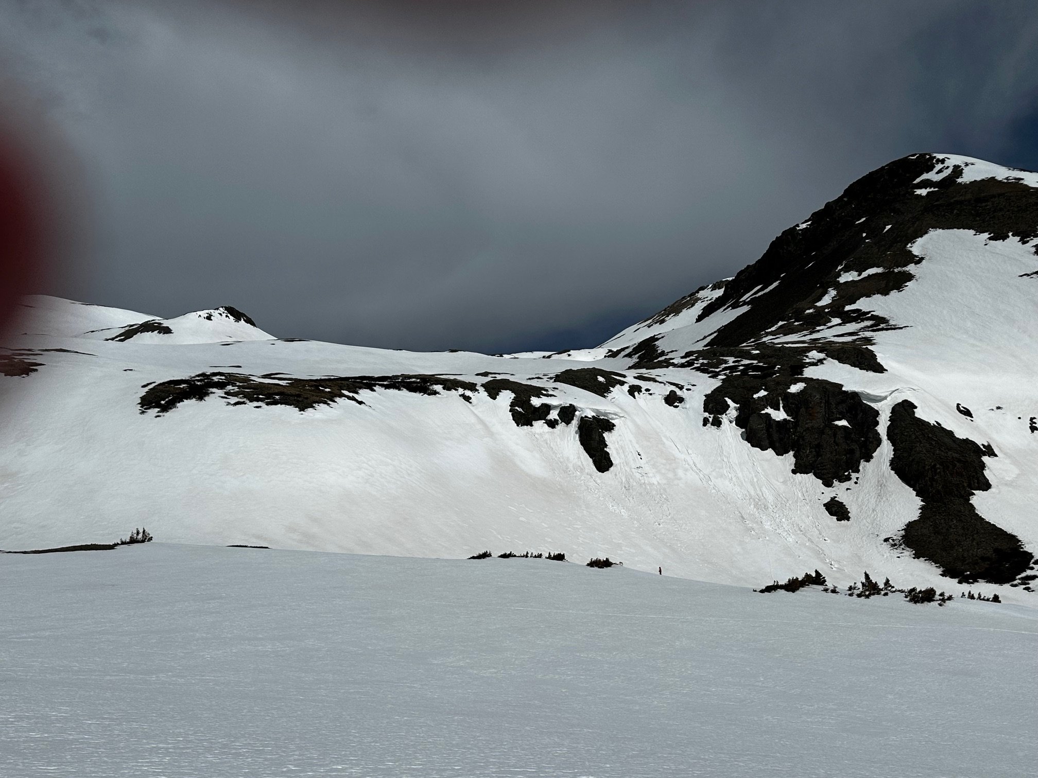
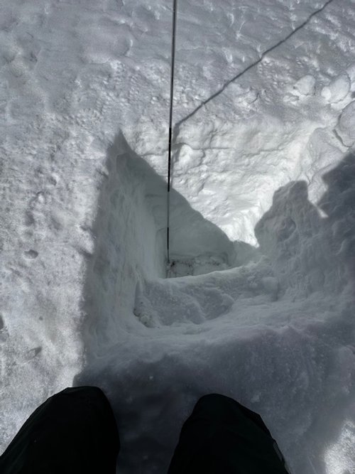
Below: Senator Beck Study Plot on April 25. Measured SWE was 22.1” with depth of 4.9’ and density of 374 kg/m^3. In the snow profile no dust layers were apparent, but dust was on the surface and concentrated in preferential collection areas across the landscape.


Satellite image of dust plume (bright magenta) making it’s way across New Mexico Sunday night (April 27). Fortunately the plume stayed south of Colorado until it was well east of the mountains.


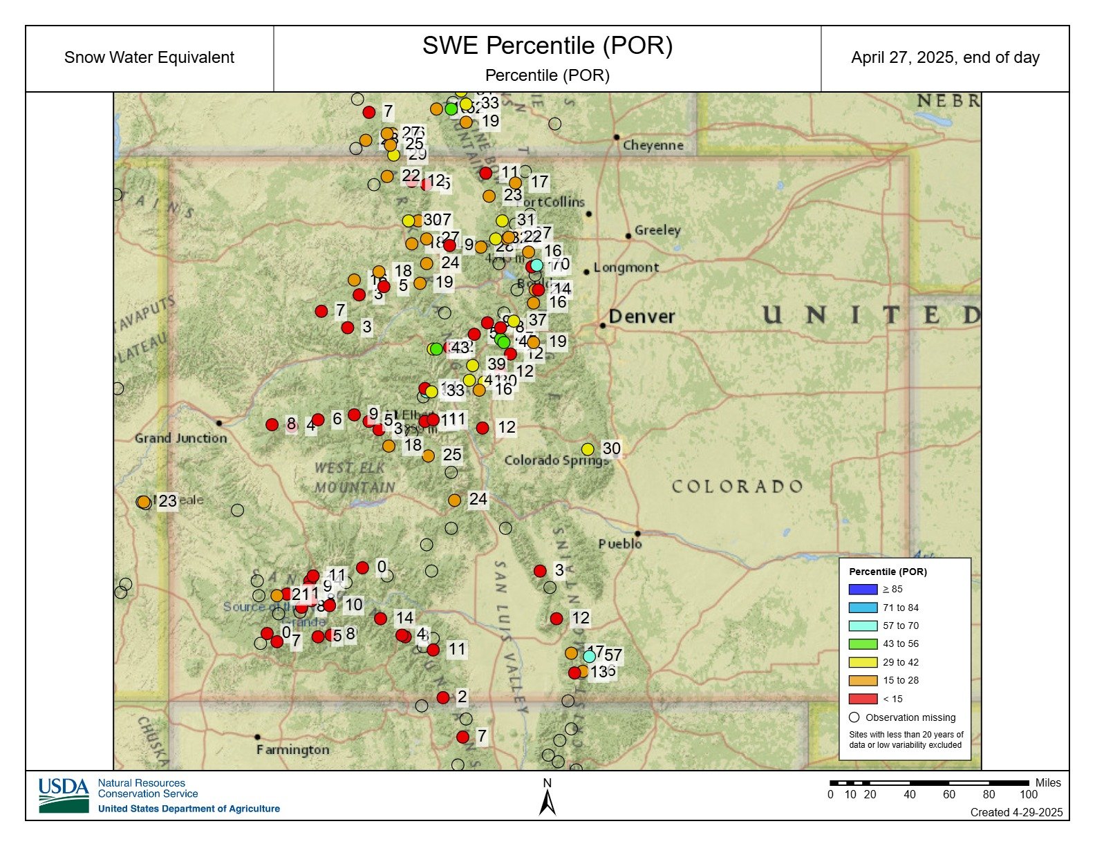
Below: Labeled on the plot is our physical measurements from the snowpits we dig at Swamp Angel throughout the season. Included as well is a percentile map of the SNOTEL stations across Colorado. To dig in more to percentiles and snowpack trends, read the April post on Colorado Climate Center’s blog here.