CODOS Update may 8, 2025: Statewide Observations
Greetings from Silverton,
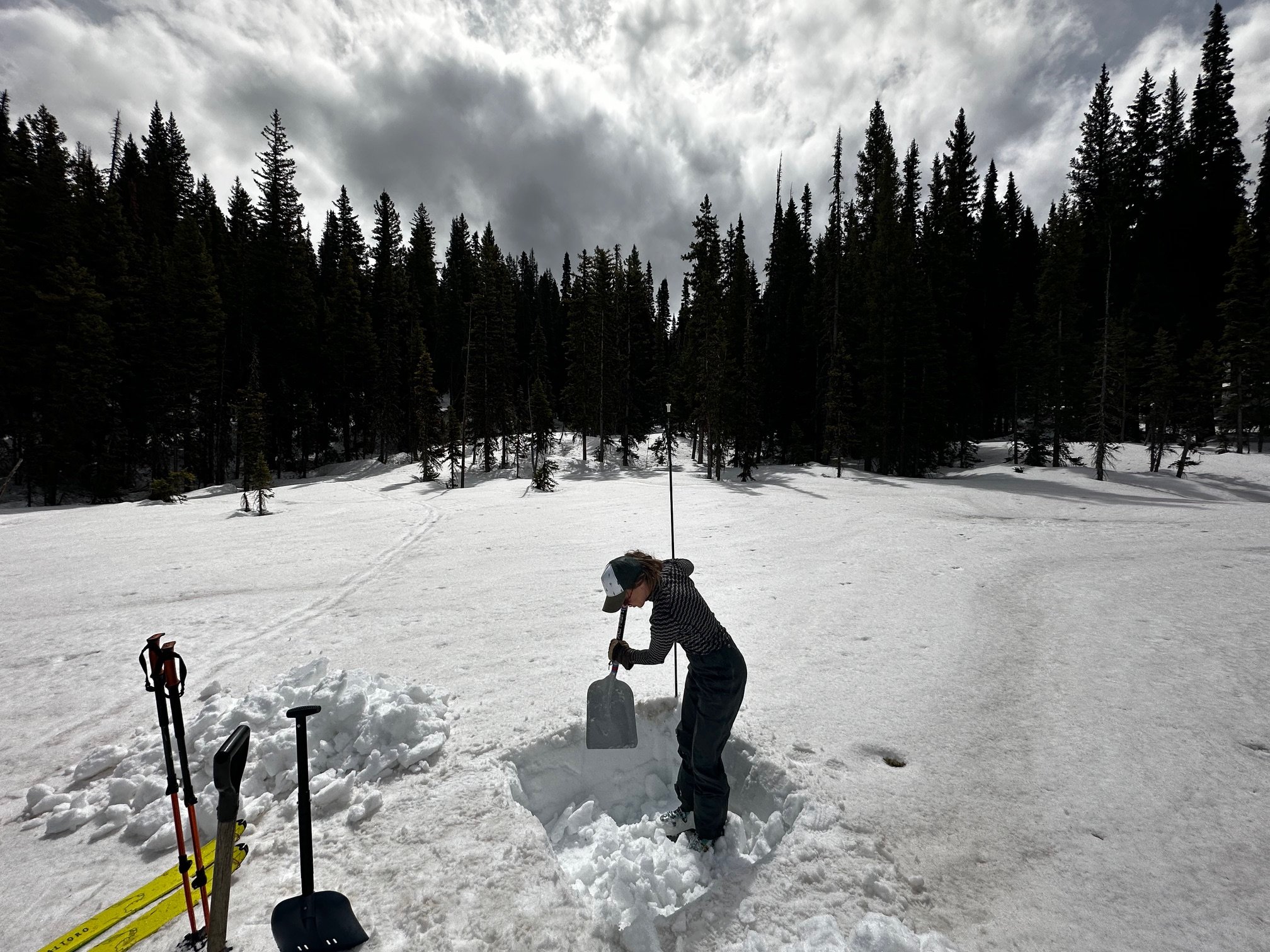
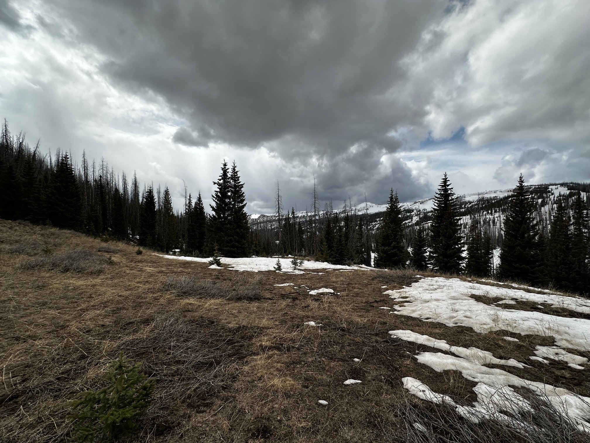
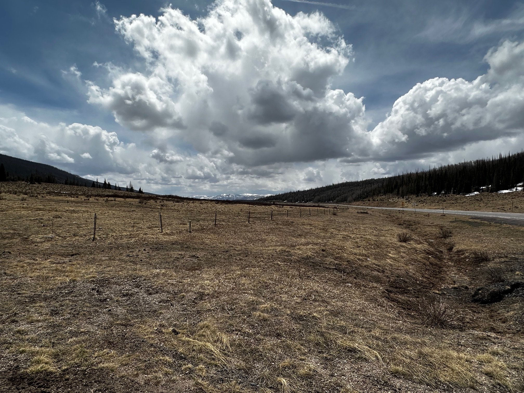
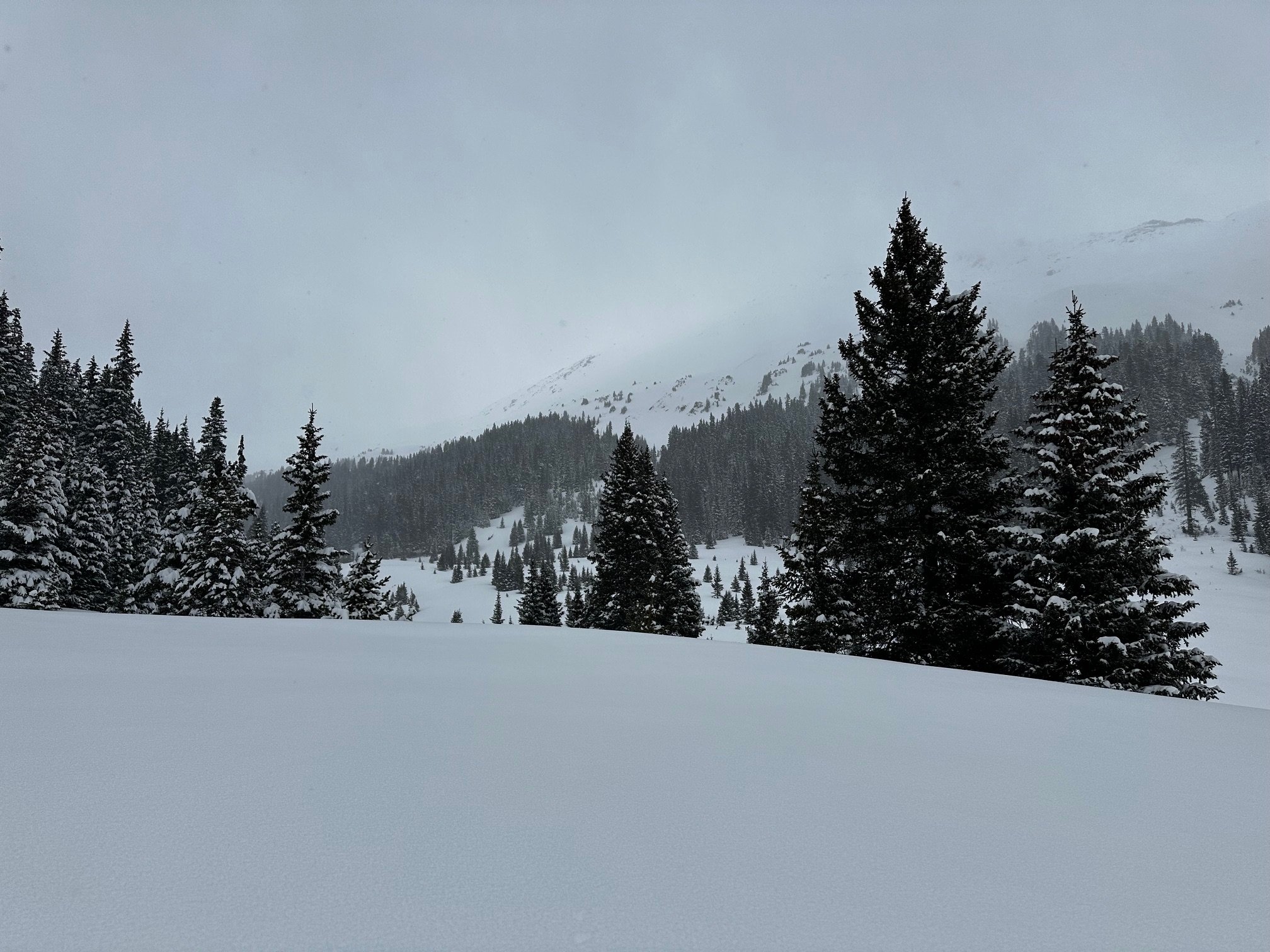
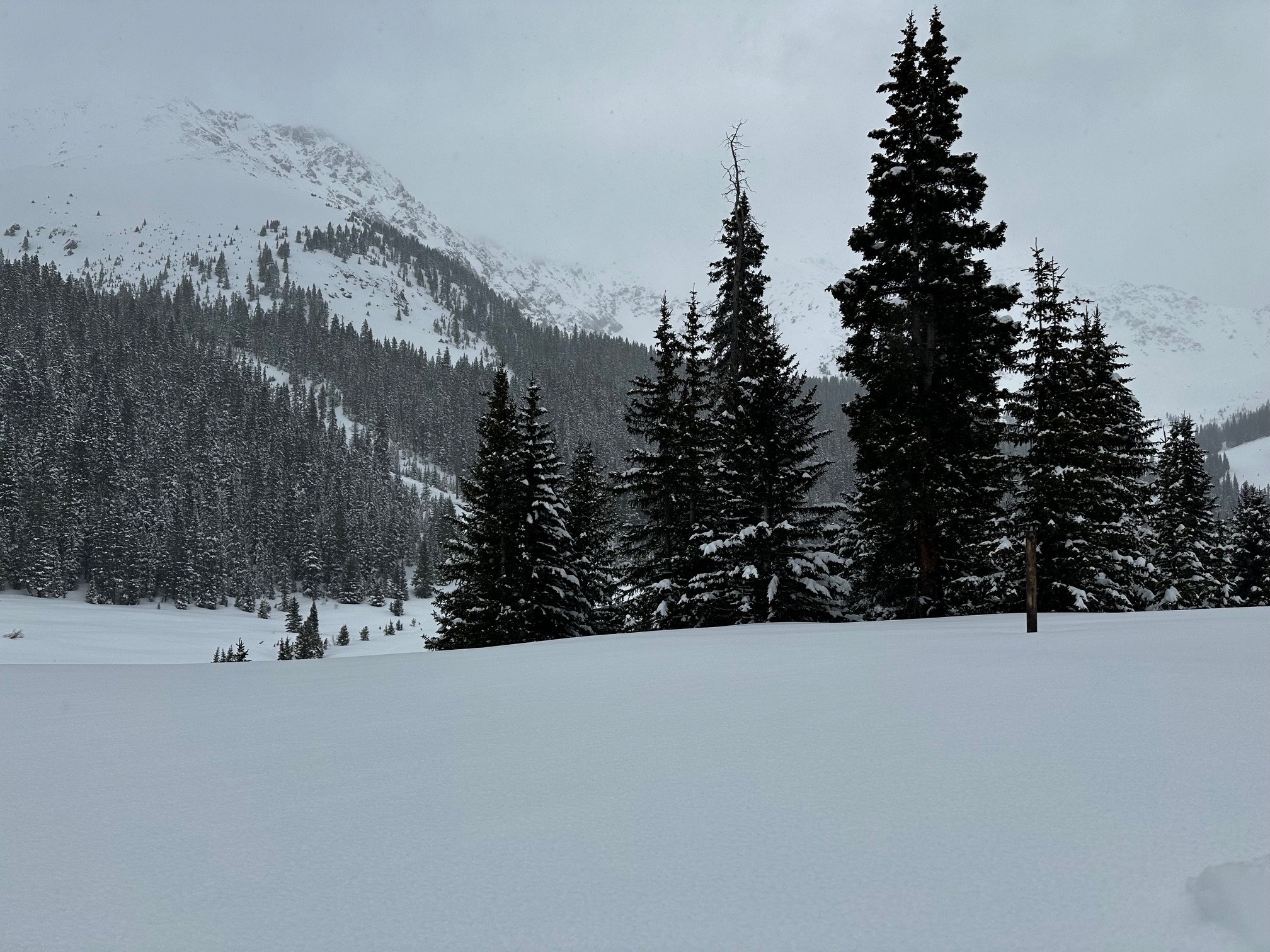
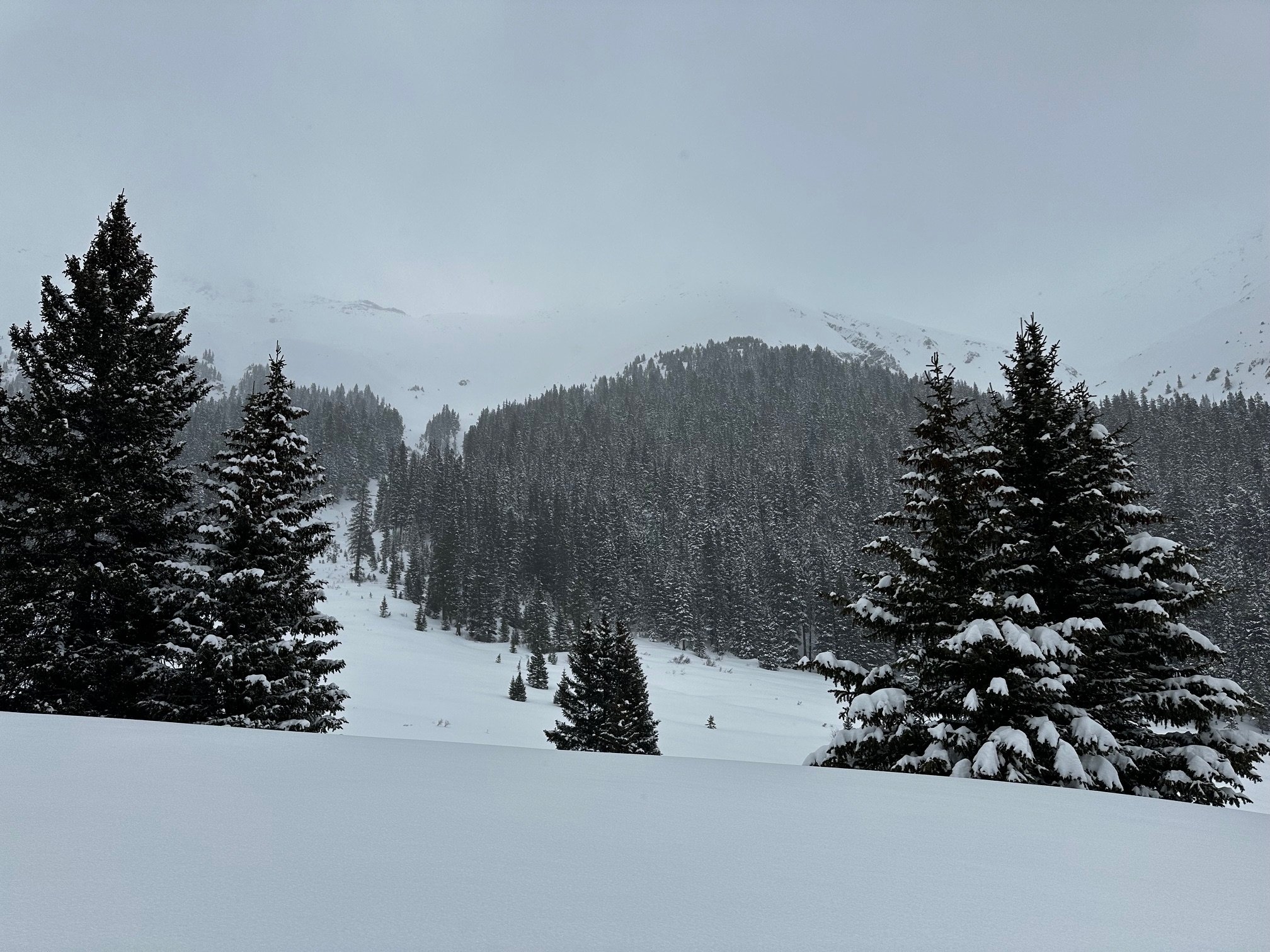
With a stormy forecast ahead of us, we headed out of town on May 4 to do our May CODOS survey, the last tour of the winter. Warm temperatures mean a mix of rain and snow, and we decided to take our chances with working in bad weather. At the start of the trip at our more southerly sites, we encountered intermittent rain, winds and a majority snow-free sampling sites (Wolf Creek, McClure, Spring Creek, Park Cone). In the north, Rabbit Ears Pass and Willow Creek got left out of the storm, while Hoosier, Berthoud, and Loveland picked up new snow. We visited Berthoud and Loveland sample sites on May 7 a day after most of the snowfall, we measured 14” new snow accumulation as 1.4” SWE at Berthoud and 10.2” new snow accumulation as 1.7” SWE at Loveland Pass.
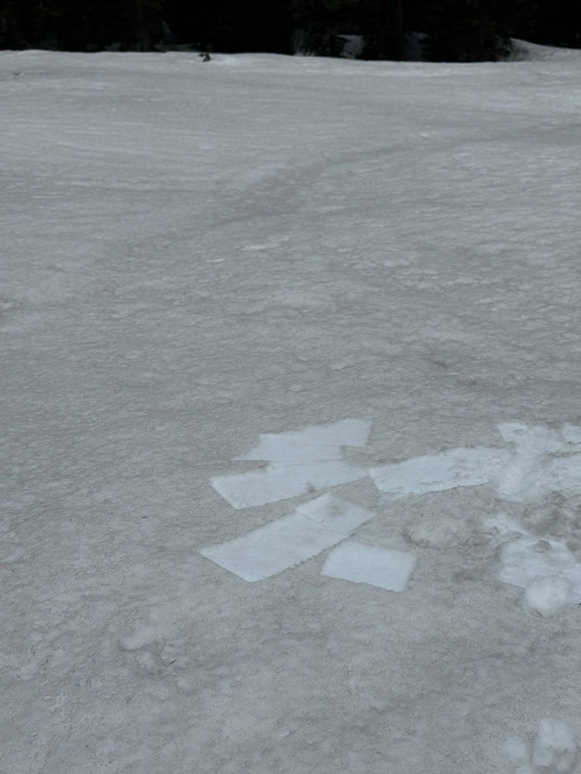
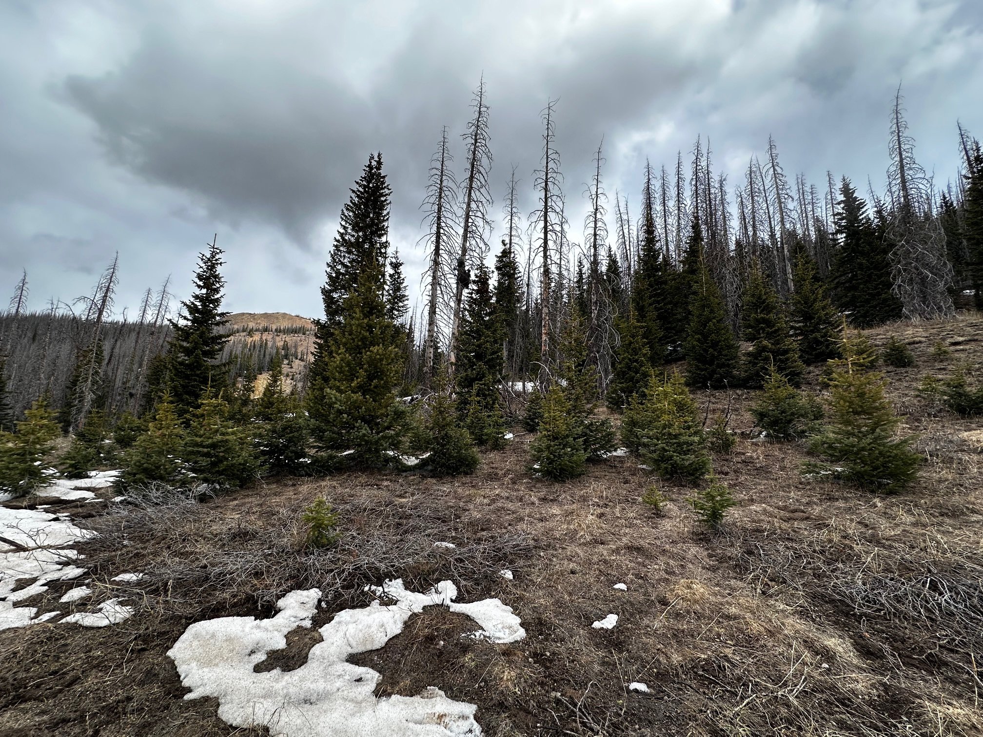
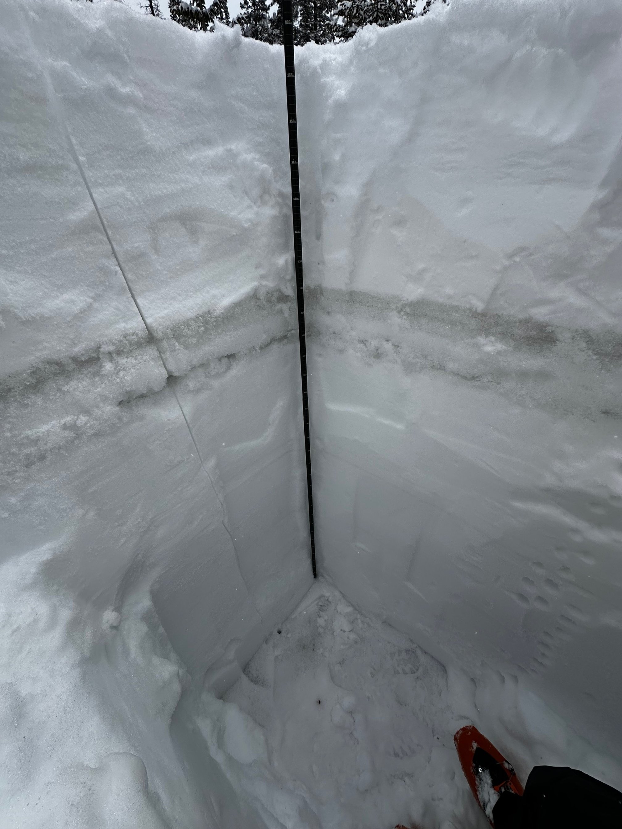
Dust conditions are still overall low for the year, though the mildly dusty snow surface will still have a big effect on the melt rate as this storm clears and we return to spring sunshine. If there is still snowpack left, most dust layers have merged together on the surface, though those with a fresh layer of accumulation are Hoosier Pass, Loveland Pass, and Berthoud Pass will see a period of reduced melt rates until the dustier, old surface is exposed at surface. We collected dust-on-snow samples from most sites as part of a continuing research project with the USGS. We delayed dust sampling for both Berthoud Pass and Loveland Pass due to the significant accumulation of new snow, so we may have observations from those sites again come early June.
You can view the snow profile forms here, if you do not see a form for a site that means there was no snow, so a profile was not completed.
If you have any questions about your neck of the woods don’t hesitate to call or email.
Take Care

WOLF CREEK PASS: may 4
Driving up to Wolf Creek we were expecting to dig a snow profile of maybe ~1’-2’, but upon arriving at our usual spot there was zero snow. On April 9th the snowpack was just over 1 meter with a SWE of 14.6”. On May 4, being 0, that would be a melt rate of roughly 0.5” SWE/day, but with snow already being gone the melt rate had to be higher. That took place the month of April!! Wolf Creek SNOTEL is still showing snow (9.4”) which makes sense as the more northerly facing slopes are still holding on to some snow. The median melt rate in April at Wolf SNOTEL is around 0.05” SWE/day (WY2022 was 0.13”/day in the basin as a whole). Currently Wolf SNOTEL and other Rio Grande stations are entering record break minimum snowpack territory. See plots below.
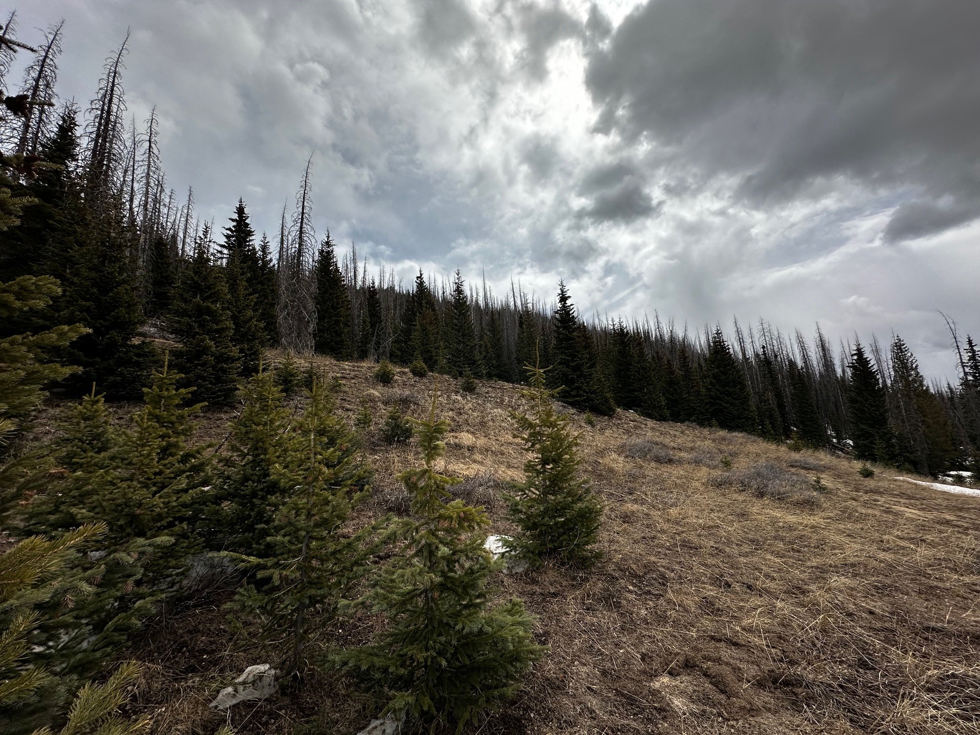
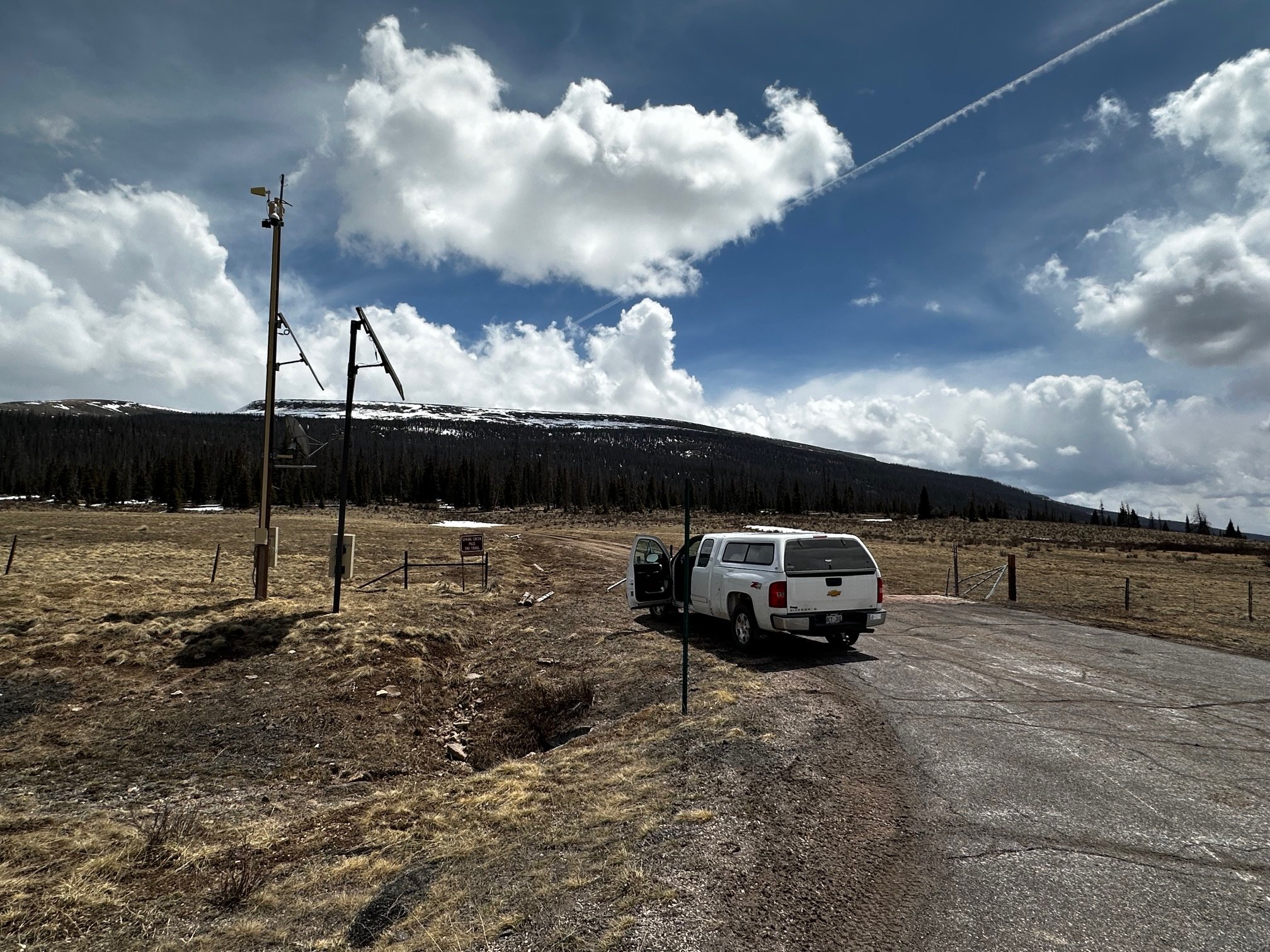
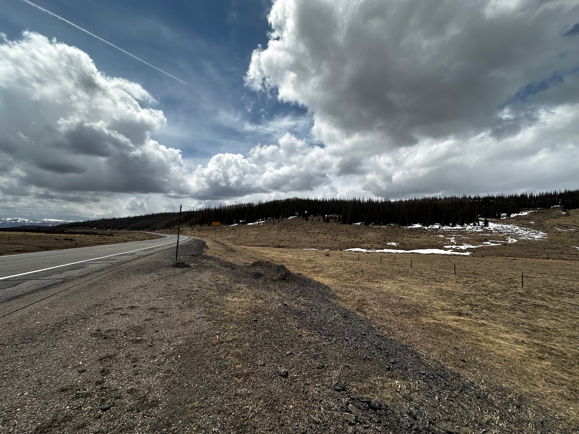
SPRING CREEK PASS: may 4
Seeing snow mostly gone at Spring Creek Pass was no surprise as that area is typically a shallower snowpack. Nonetheless, much more snow was ablated than what was expected based on our visit a month before where we measured 11.5” SWE on April 9.
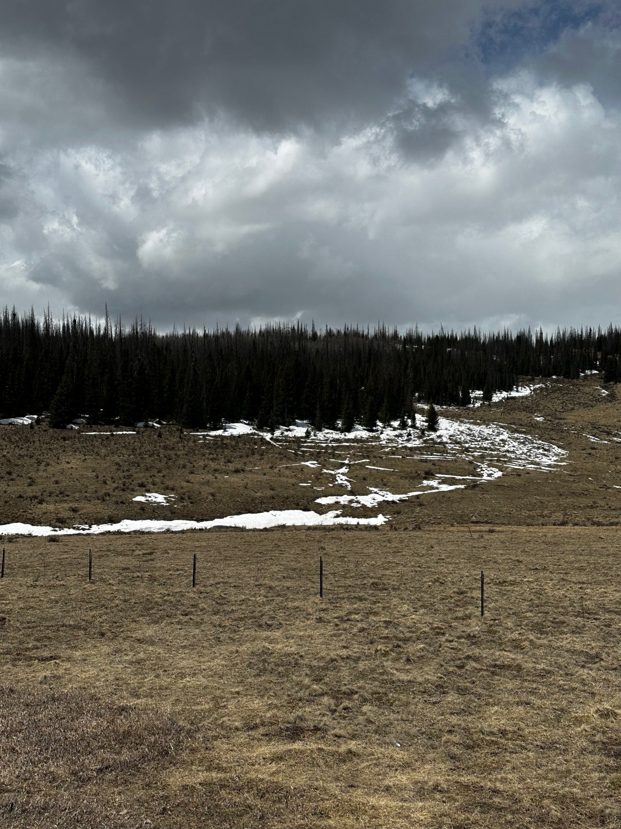
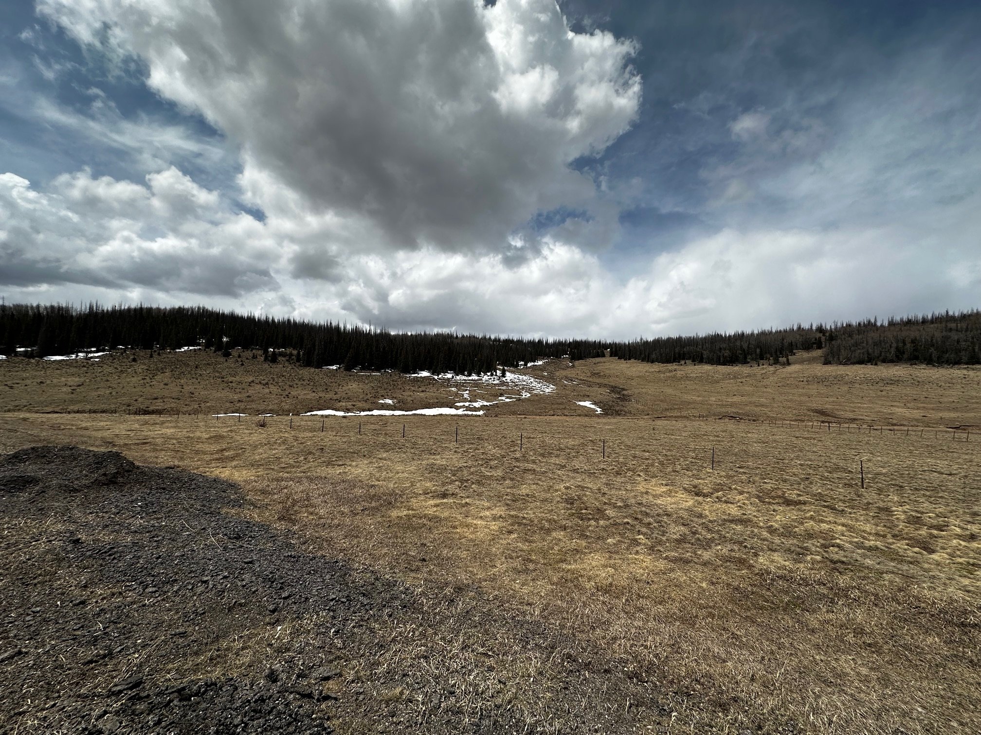
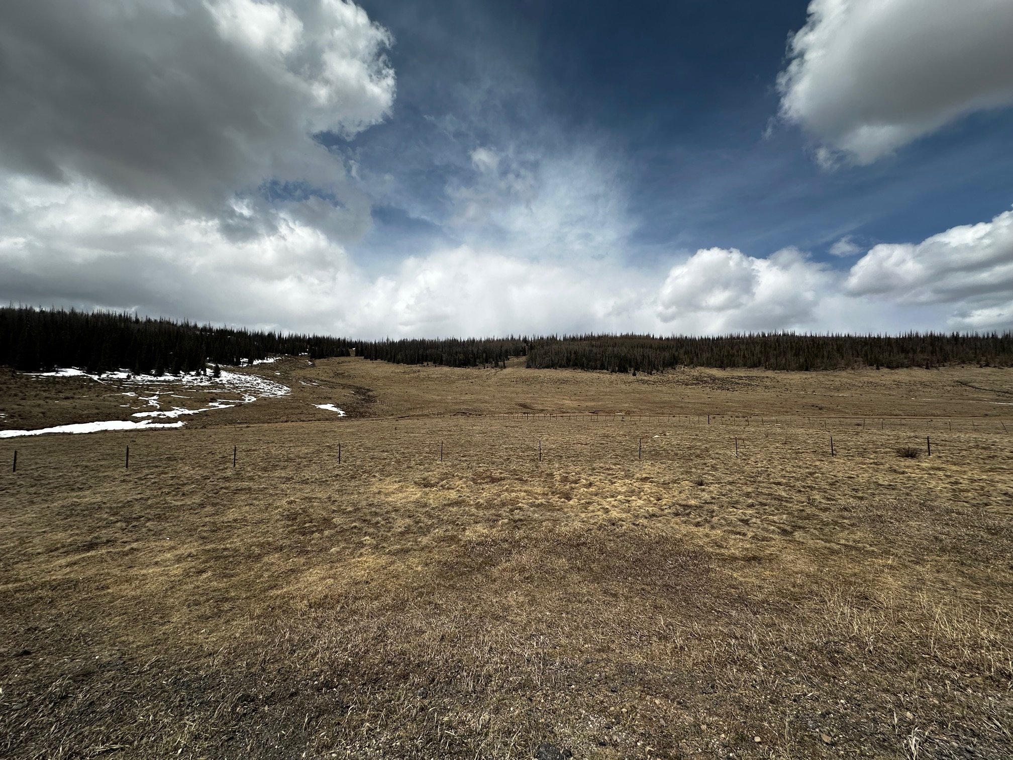

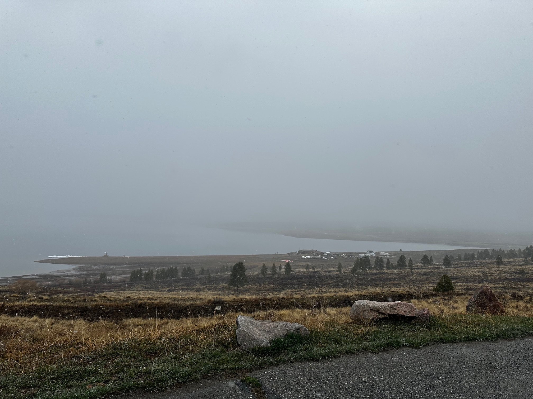
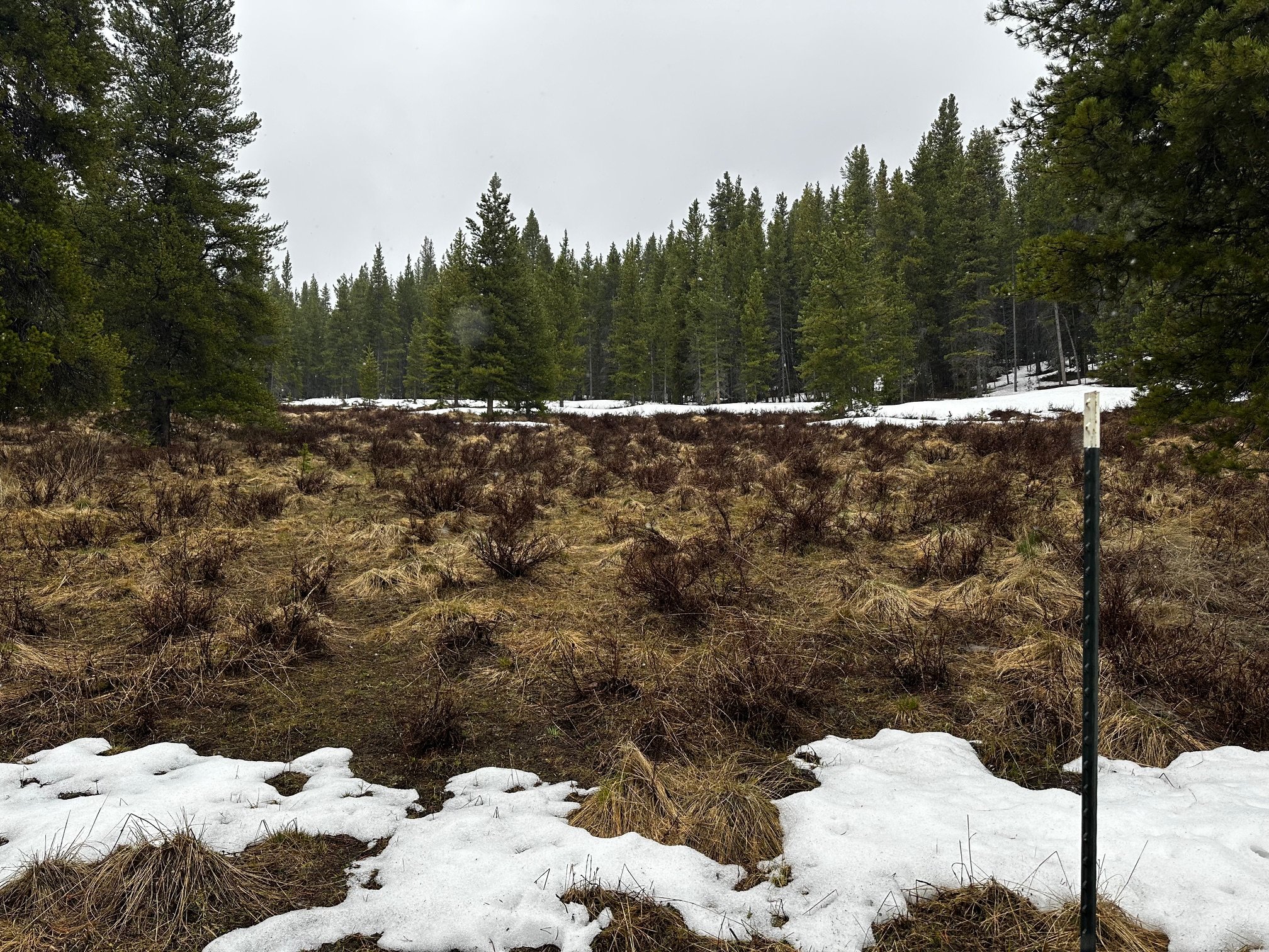
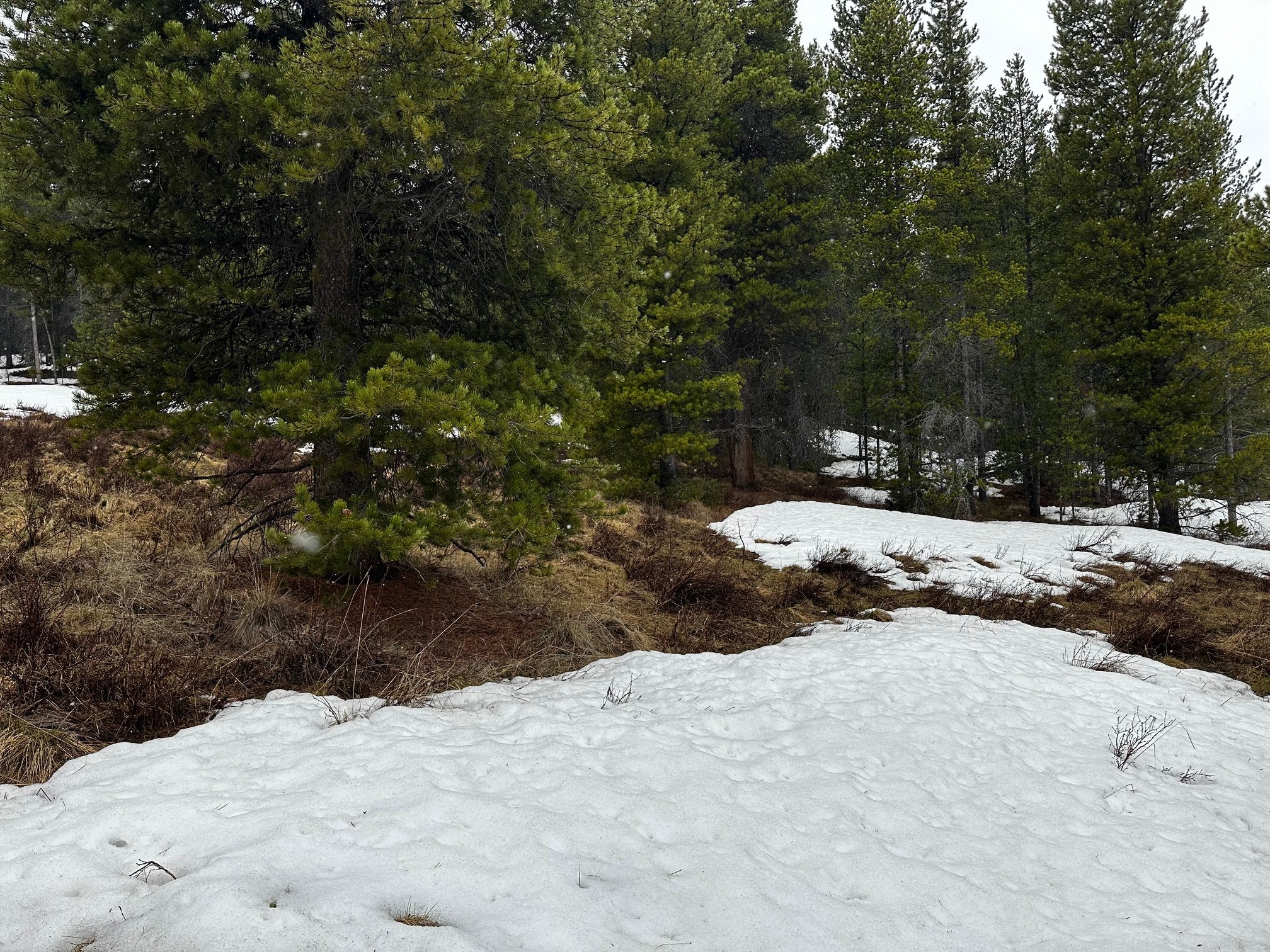
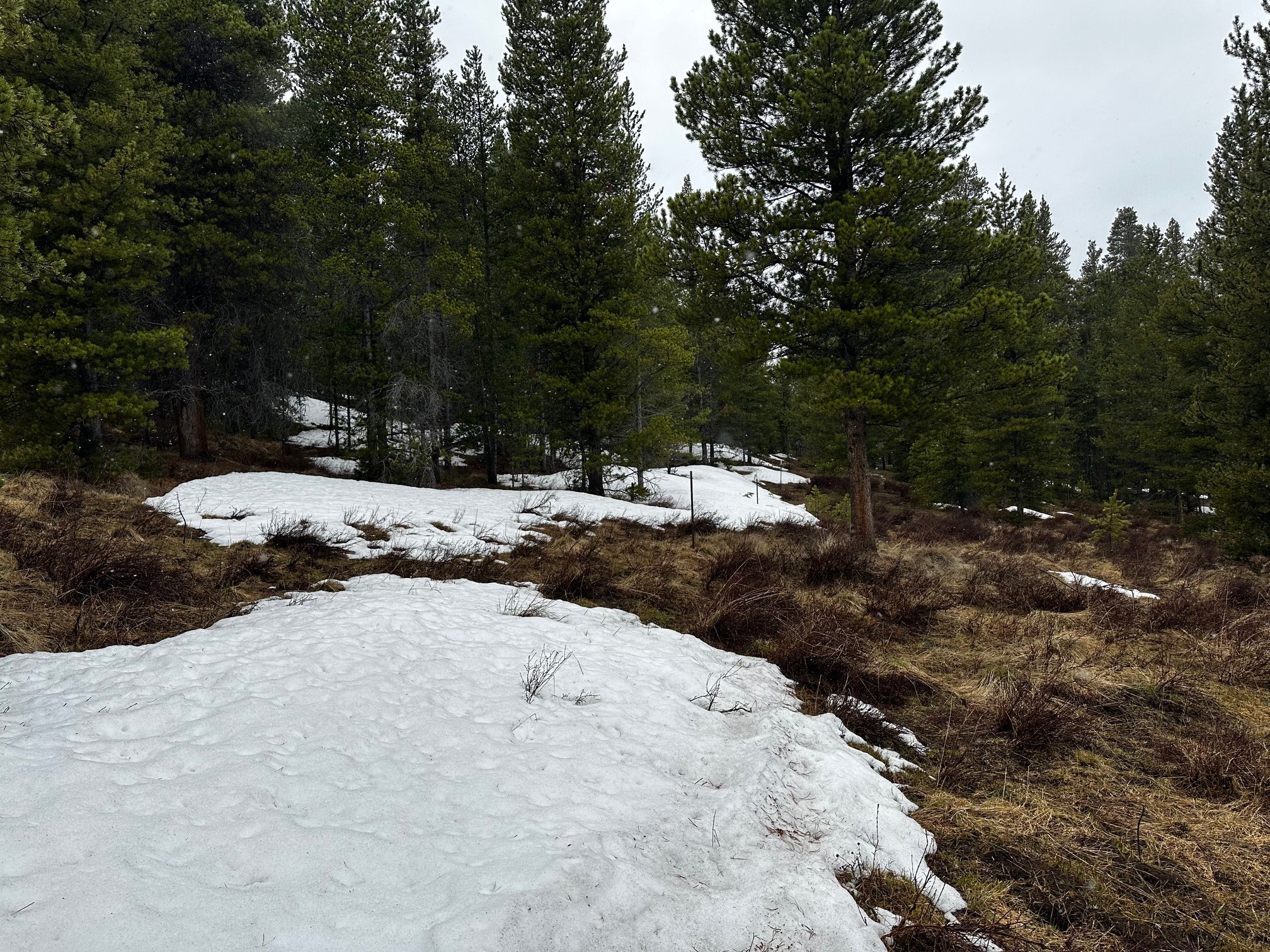
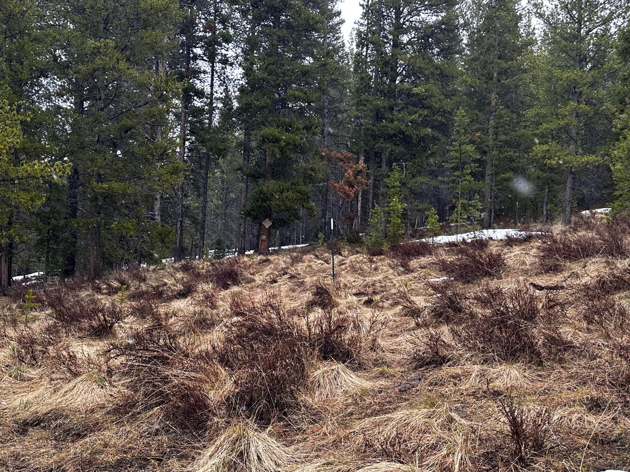
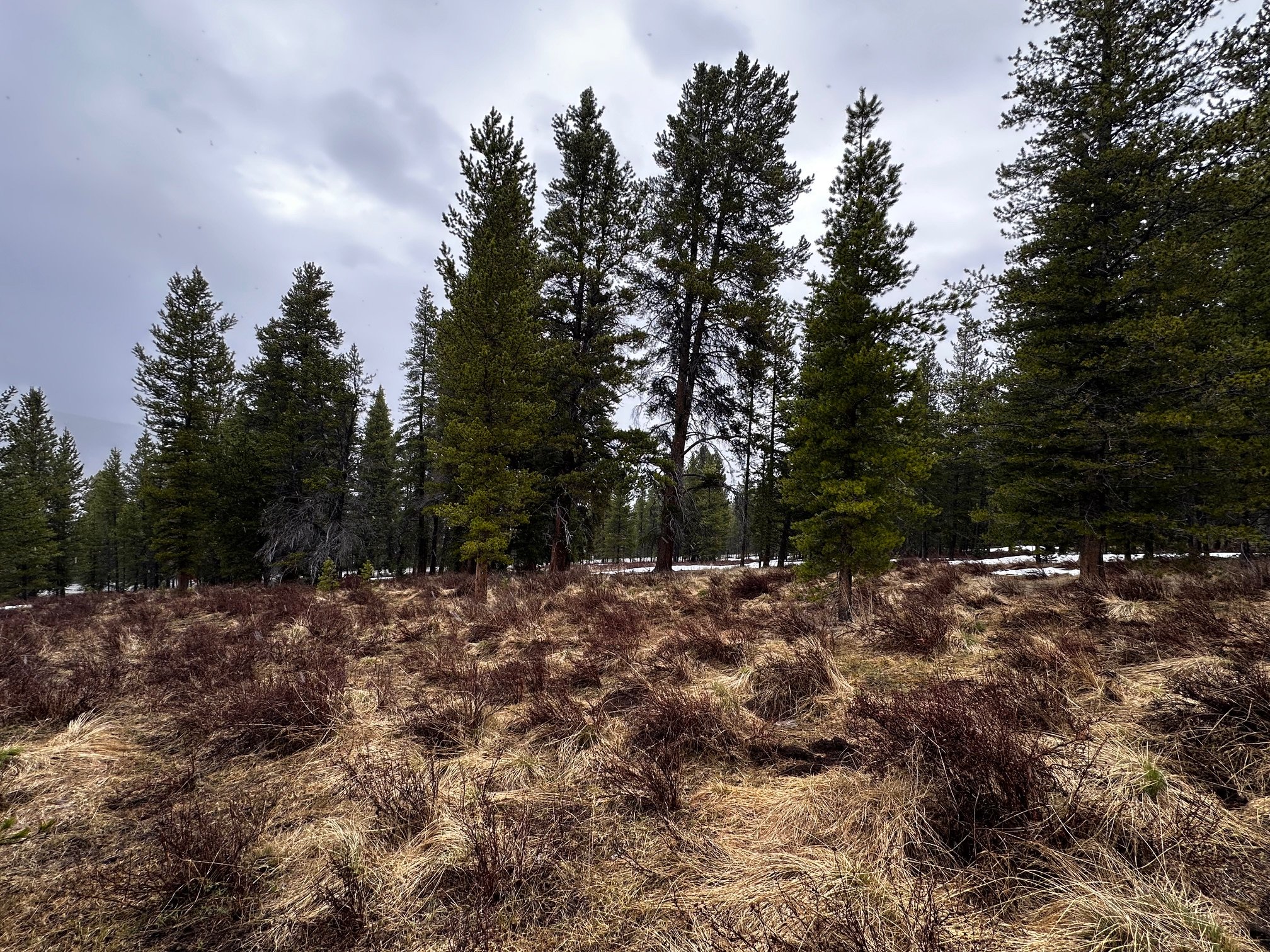
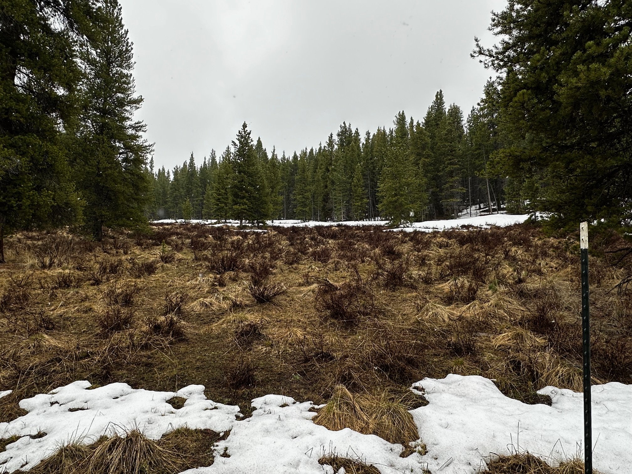
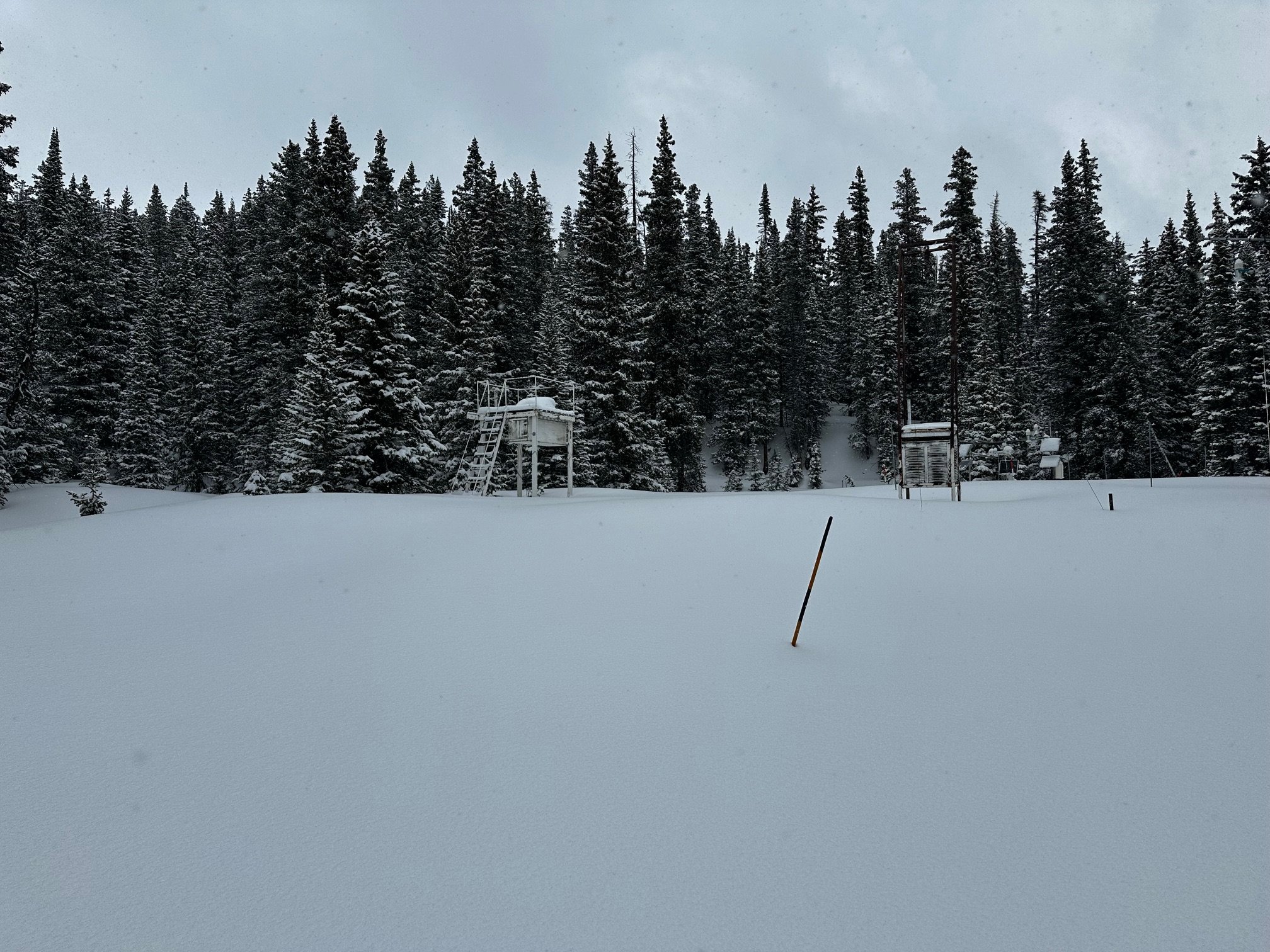
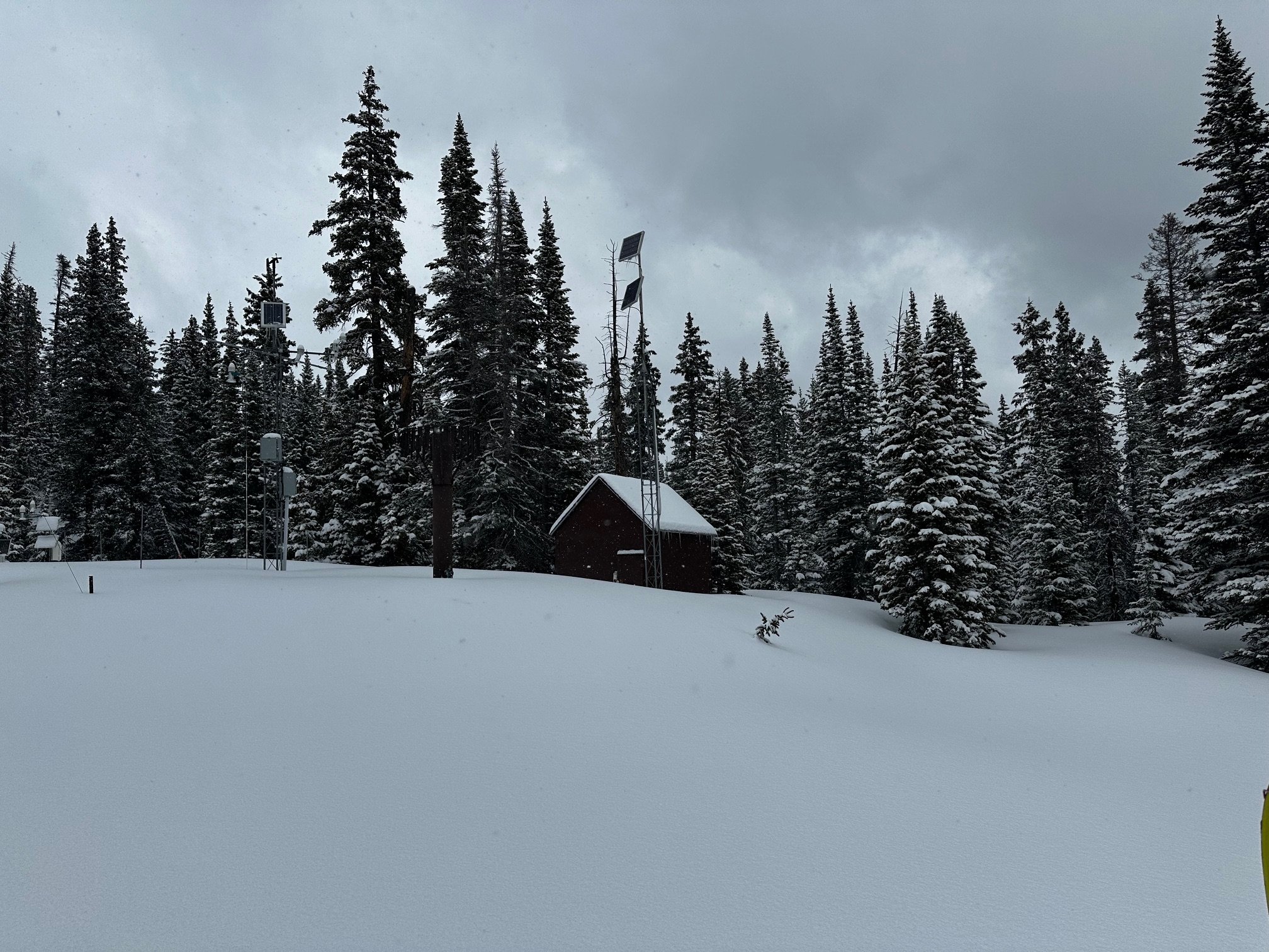
PARK CONE: may 5
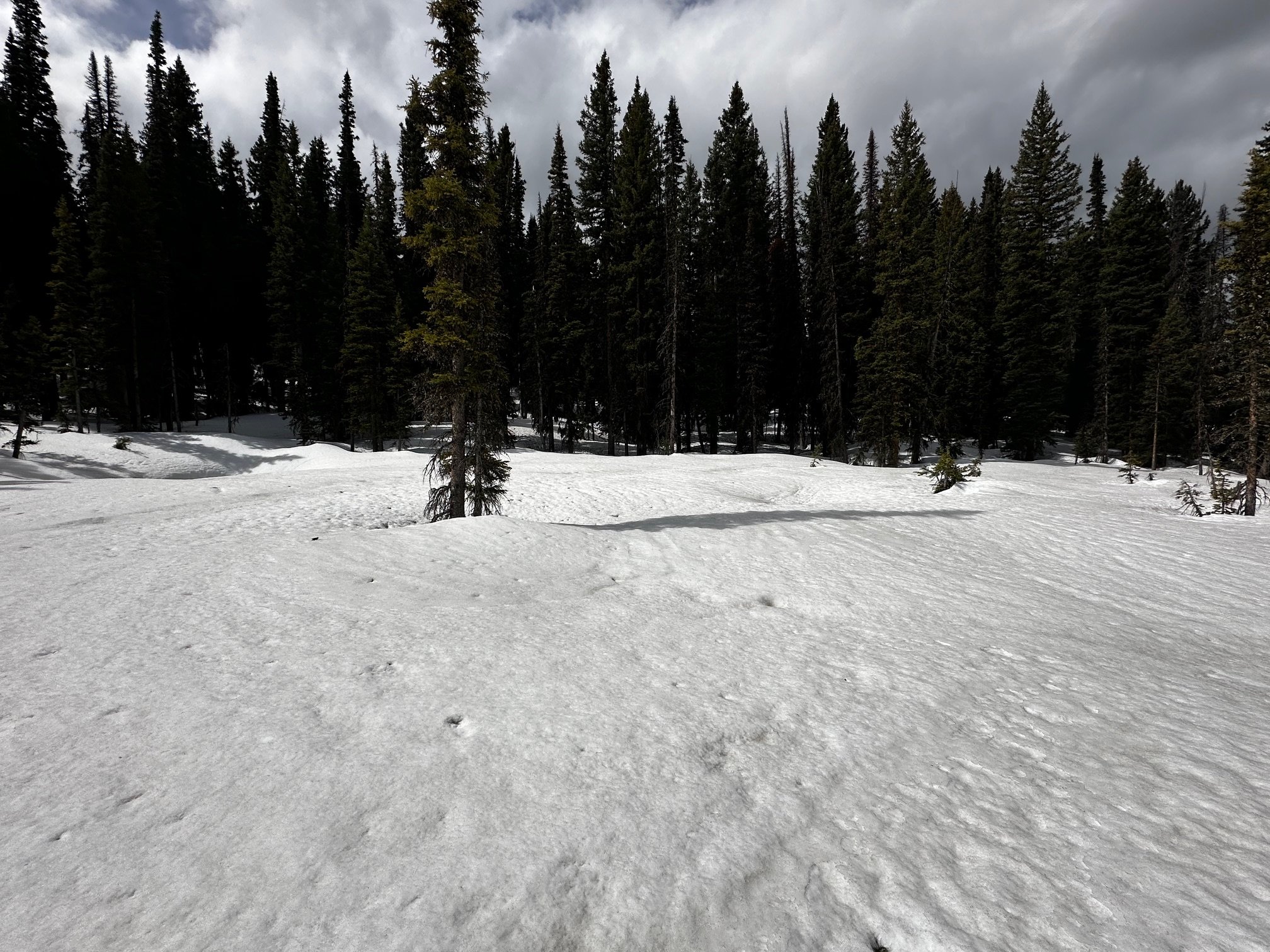
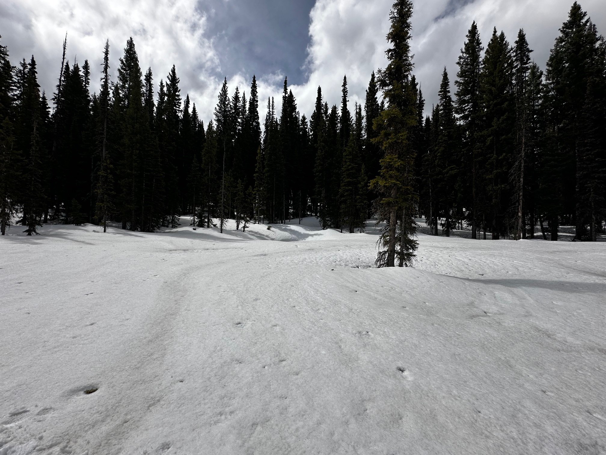
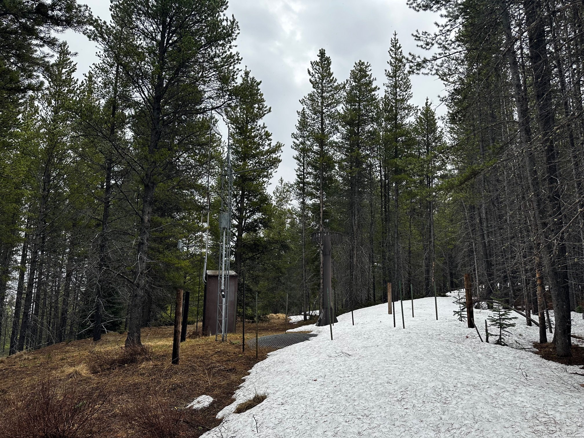
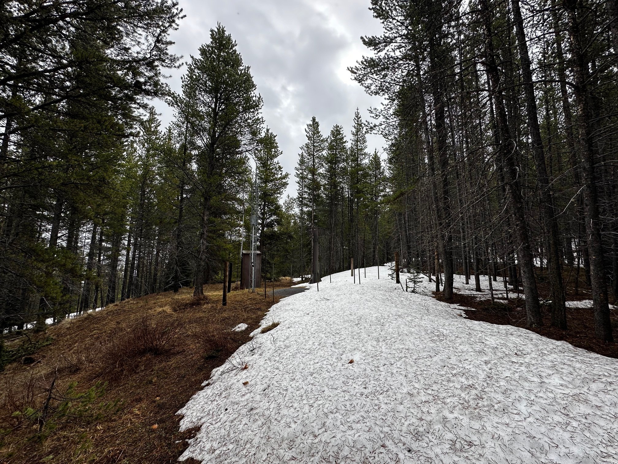
As expected Park Cone was snow-all-gone at our sample site near the NRCS snowcourse (in the pictures below it is shown by the metal fence stakes). There is lingering snow in the trees and more northerly slopes. At the Park Cone SNOTEL (see pictures below) just the very edge of the snow pillow had an inch or two of snow. It was raining/snowing during our visit and going by the forecast more precip came in after we left which will help soil moisture as we go into May.
gRAND MESA: may 4
Driving north through the Delta area, intermittent rain fell on green fields and budding trees. Driving up the Mesa, I realized that the unleafed trees at the mid-elevations looked quite odd without a bit of snow still blanketing the ground. At the top of the Mesa, we found the snowpack shrunk more significantly than we expected: the depth of snow was 27” and SWE was 9.1”. Last month (April 5), the snowpack here was 57” height and 19.3” of SWE. The dust layers have all merged at the surface. Chance of new precip would be a welcome fresh coat to a dusty, ablating snowpack up there. Mesa Lakes SNOTEL not far away from our CODOS site on May 4th reported just 26% of normal SWE, at 4”.


McCLURE PASS: may 4
No surprises at the top of McClure Pass - meaning no snow! McClure Pass SNOTEL melted out on April 23rd. Nothing at all in the aspen-dominated forest of our pit site. The North Fork valley was green and inviting, full spring, on the drive up.


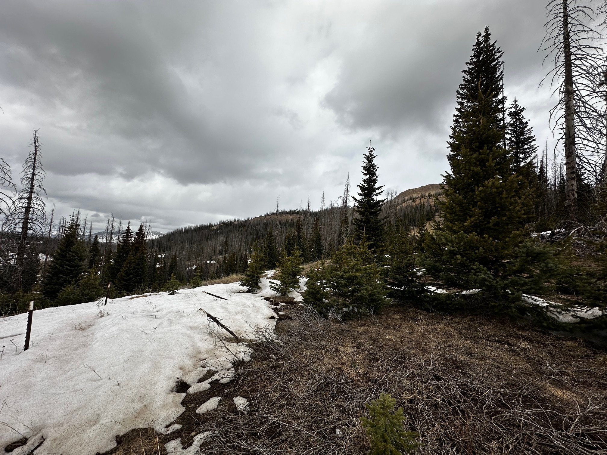
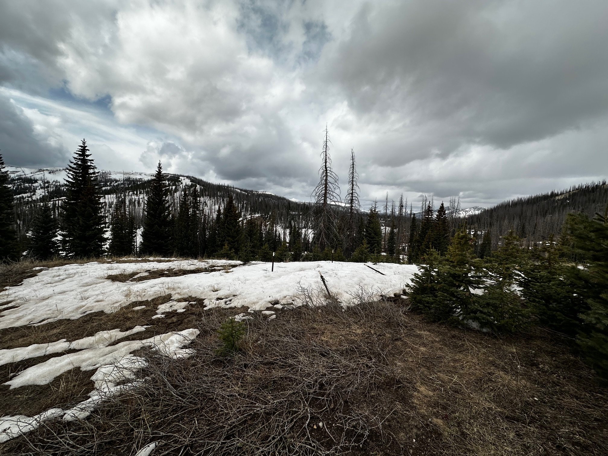
HOOSIER PASS: may 5
It was snowing lightly on Monday afternoon when we sampled Hoosier Pass. Just under a few centimeters of fresh snow, the overall mild dust layers were merged in the recent surface crust. We measure 13.7 of SWE and 3.2’ depth of snow. Over the last few days, Hoosier Pass SNOTEL reported about 1.1” of precipitation and today has 13.5” of SWE, about 83% of the median for this time of year.
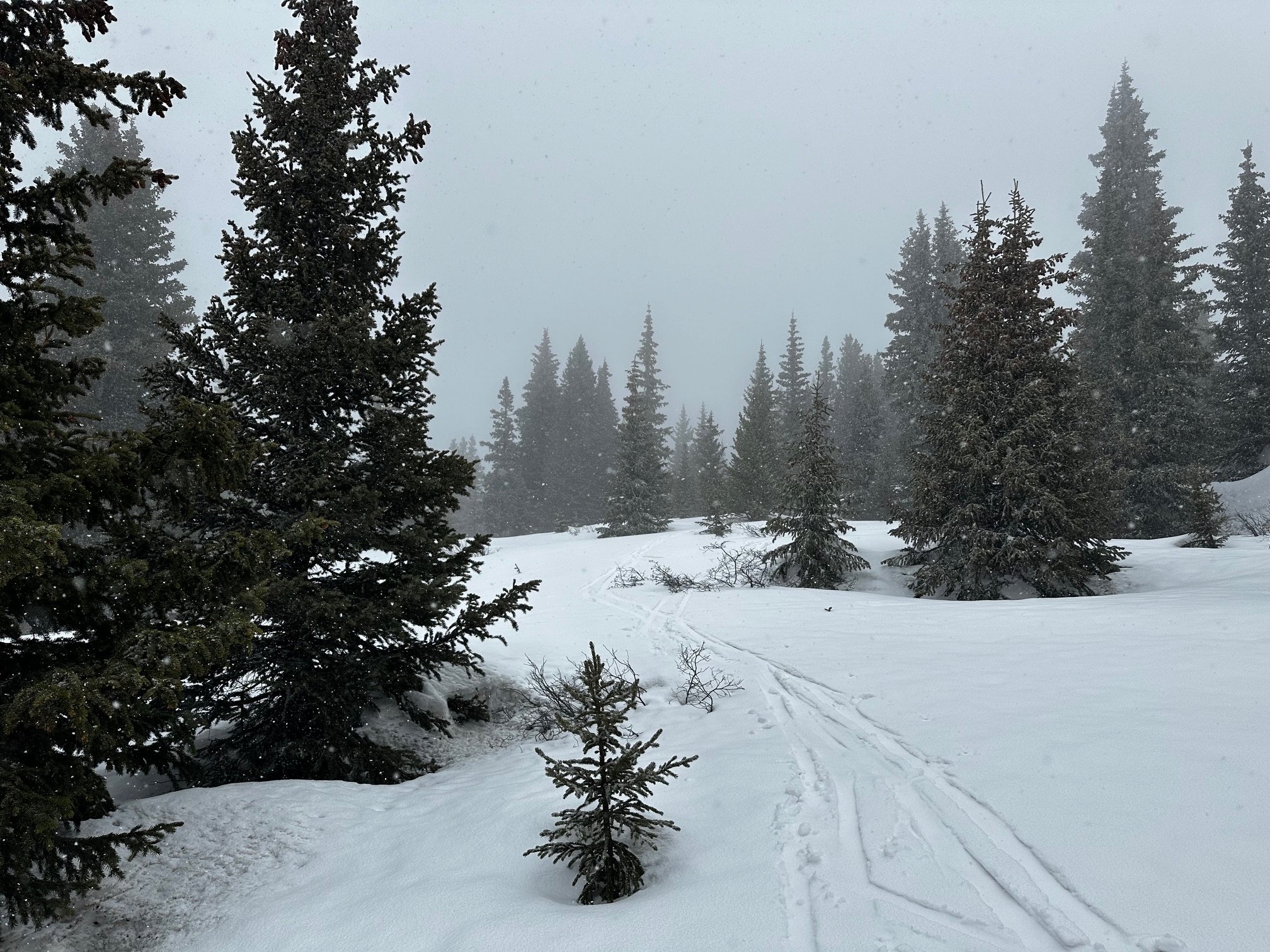
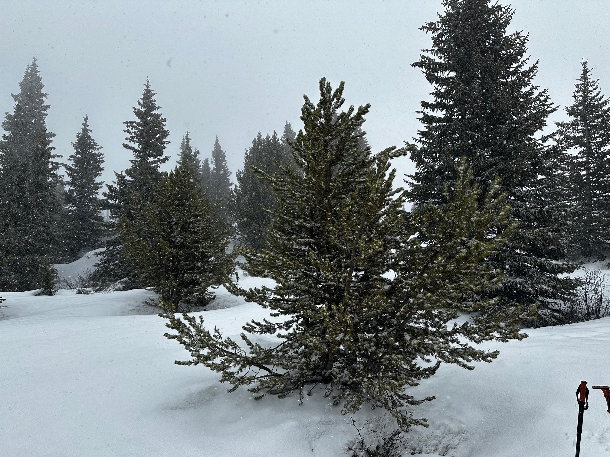
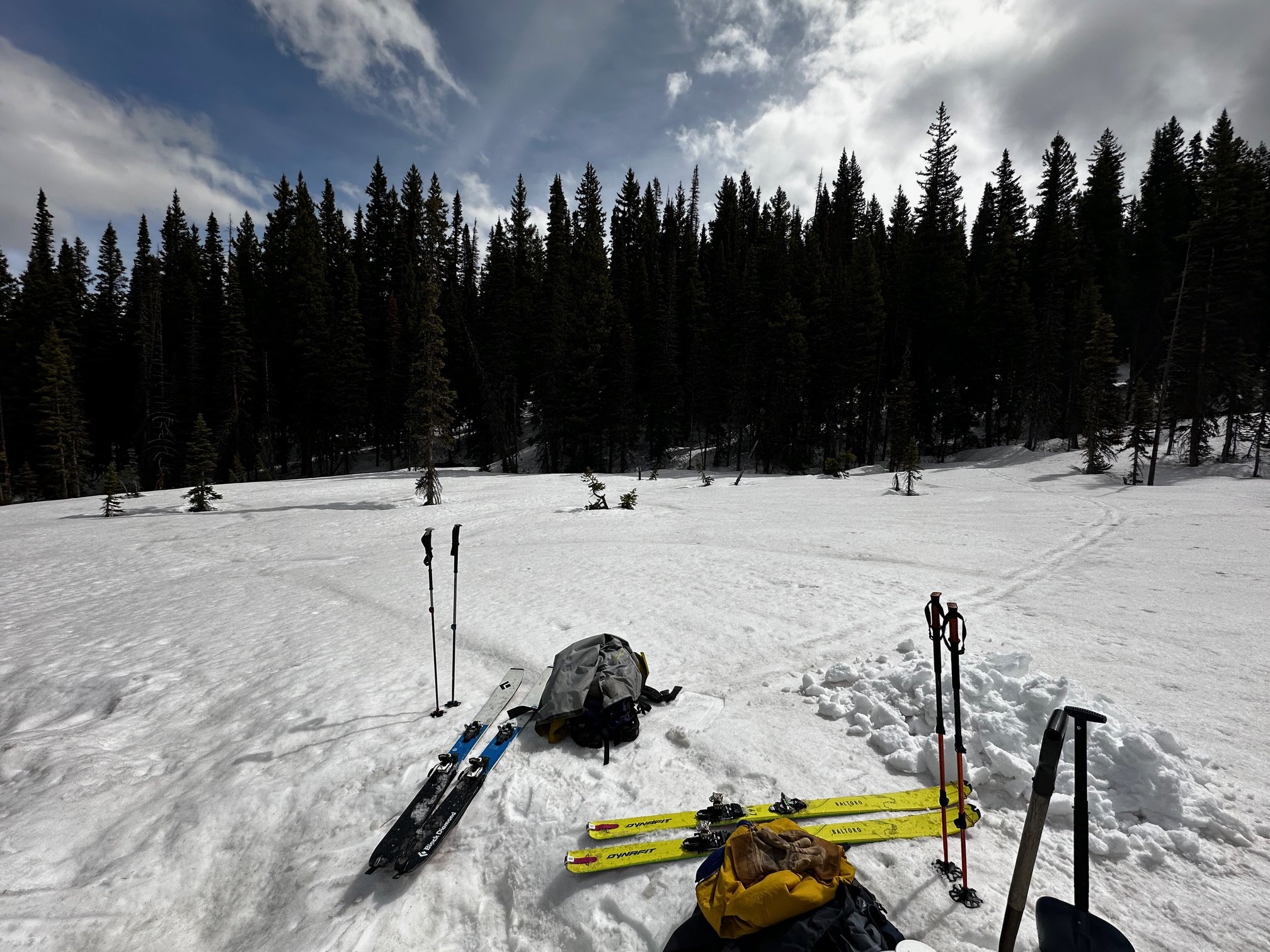
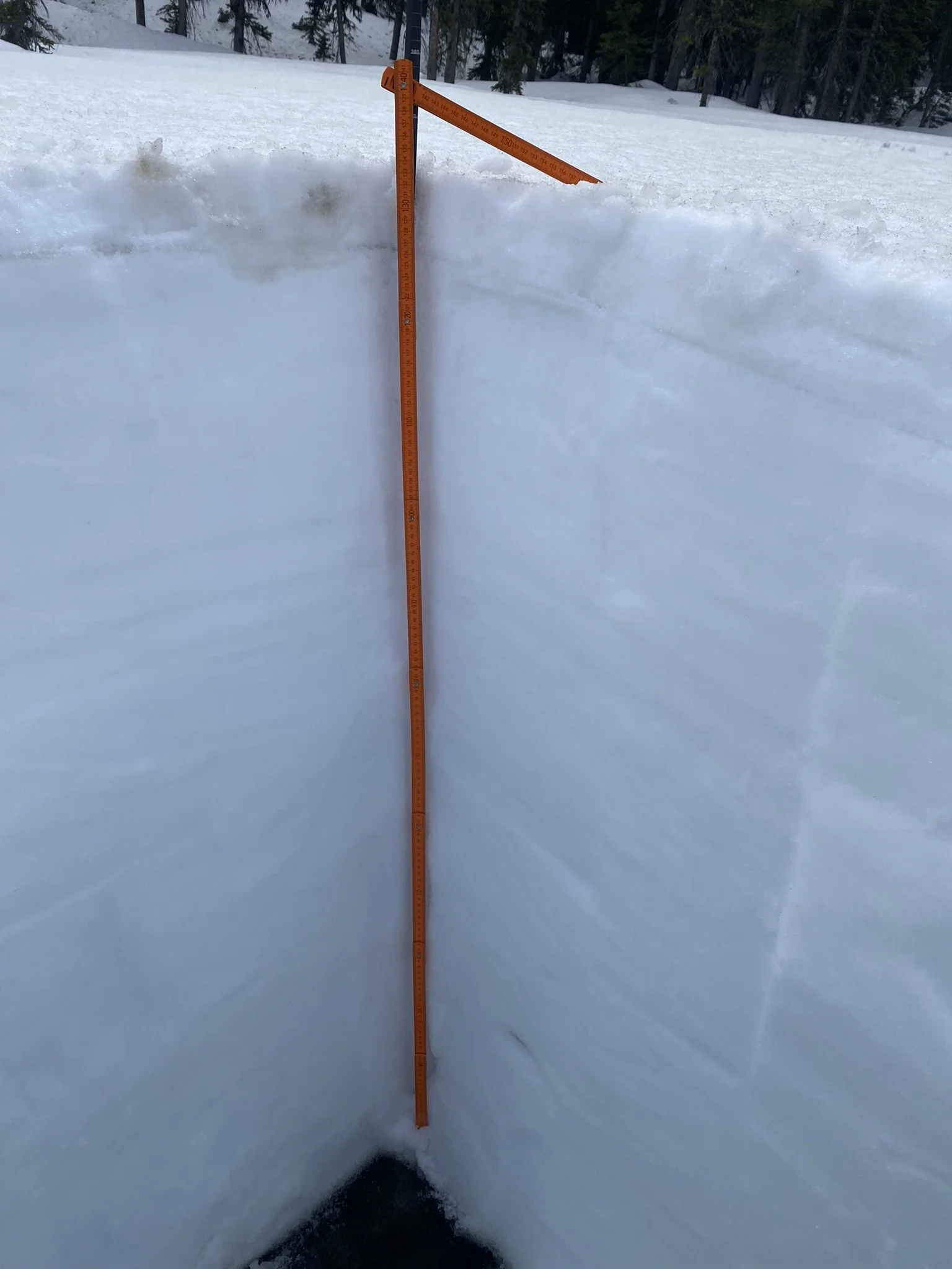
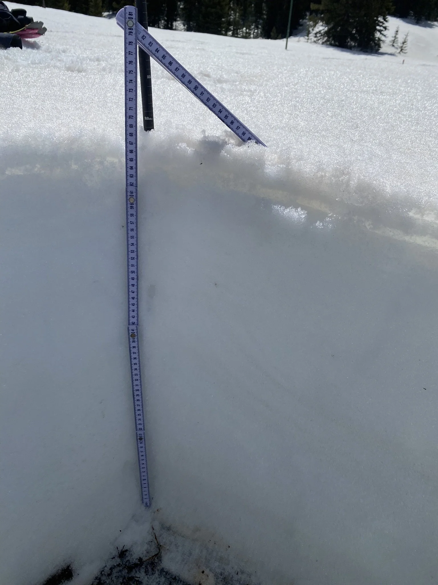
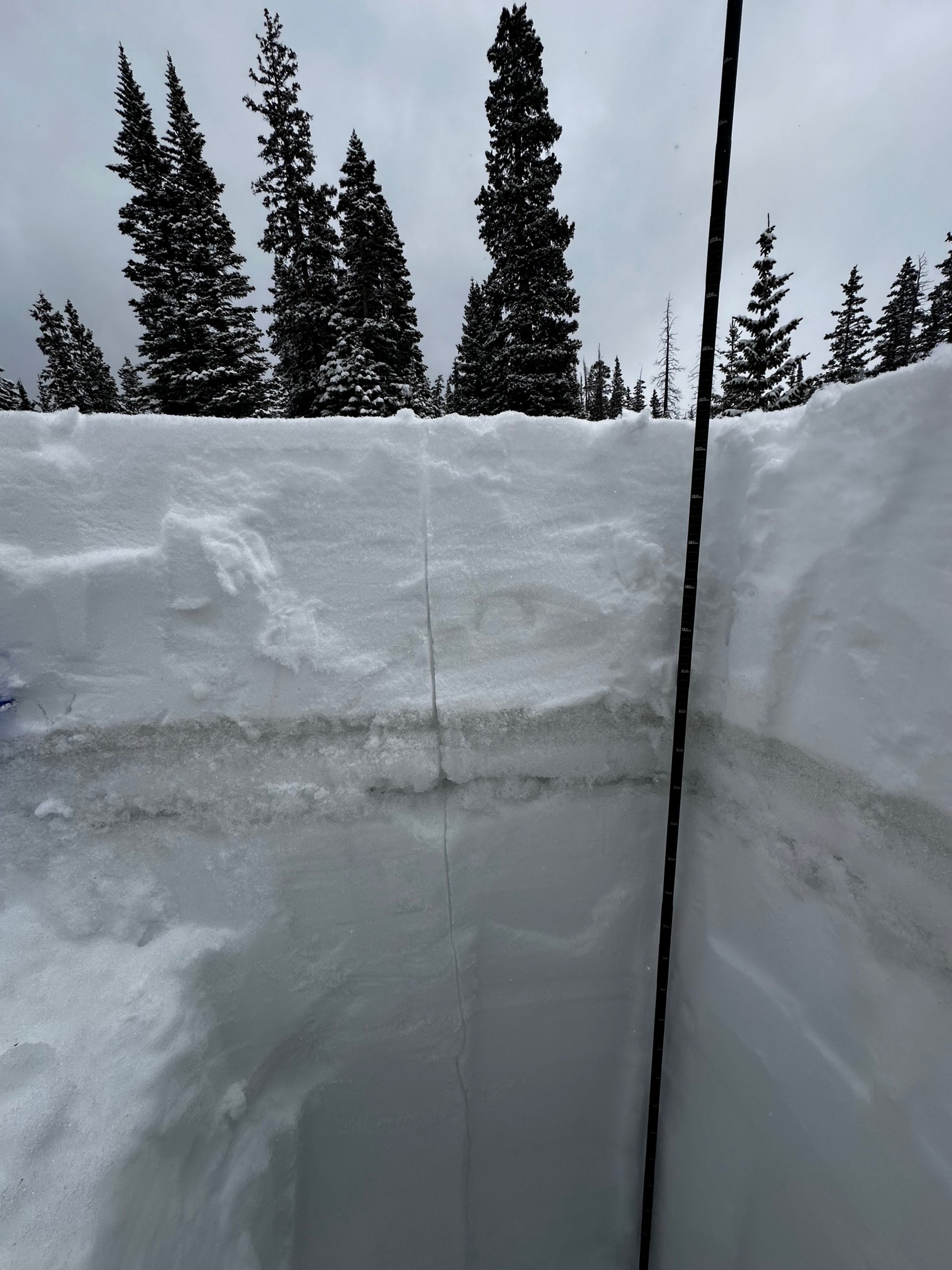
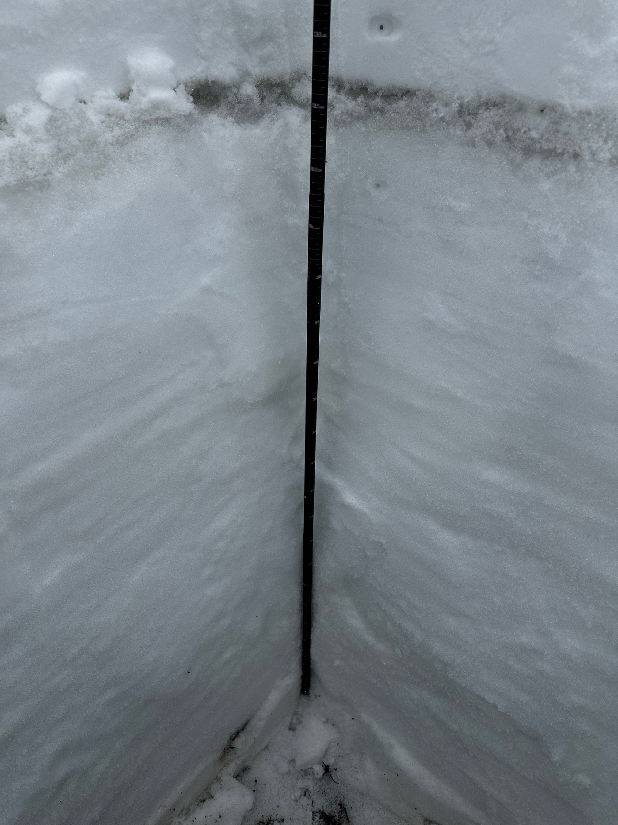
Berthoud PASS: may 7
We gave Berthoud a wide berth for May 6th, as forecasts for snow were upwards of 16” accumulation. When we circled back around on May 7th, we found 14” new snow accumulation as 1.4” SWE. Total SWE we measured was 22.2”“ as 5.3’ snow depth. Berthoud Pass looks good right now compared to many locations across the state. The SNOTEL SWE is at 94% of the median, with 20.1” of snow water equivalent, and about 1.5” of new precipitation picked up in the last few days. Earlier in the season, we saw no dust in the snowpack; now, there is a mild dust layer on the crust below the new storm slab.
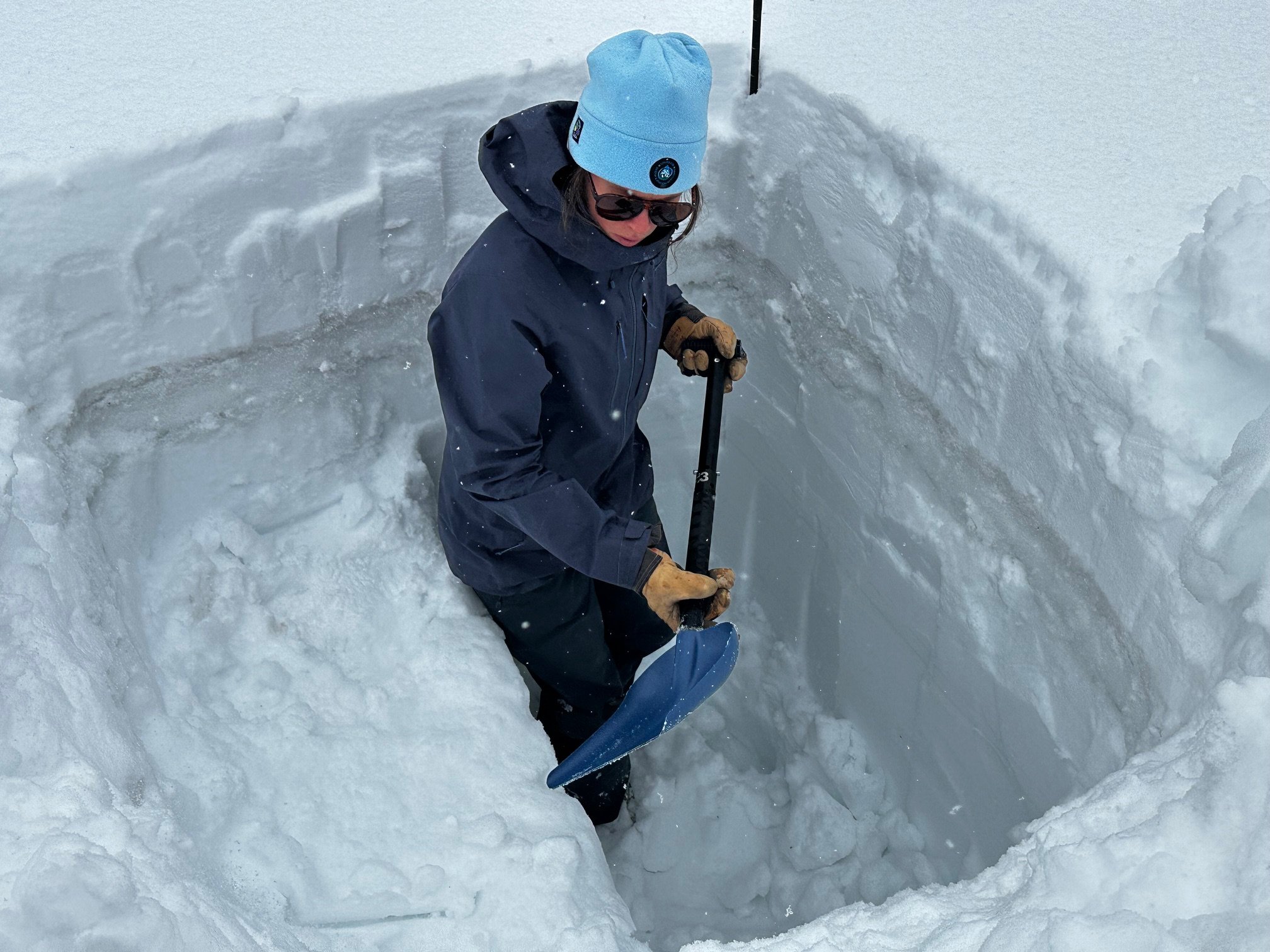
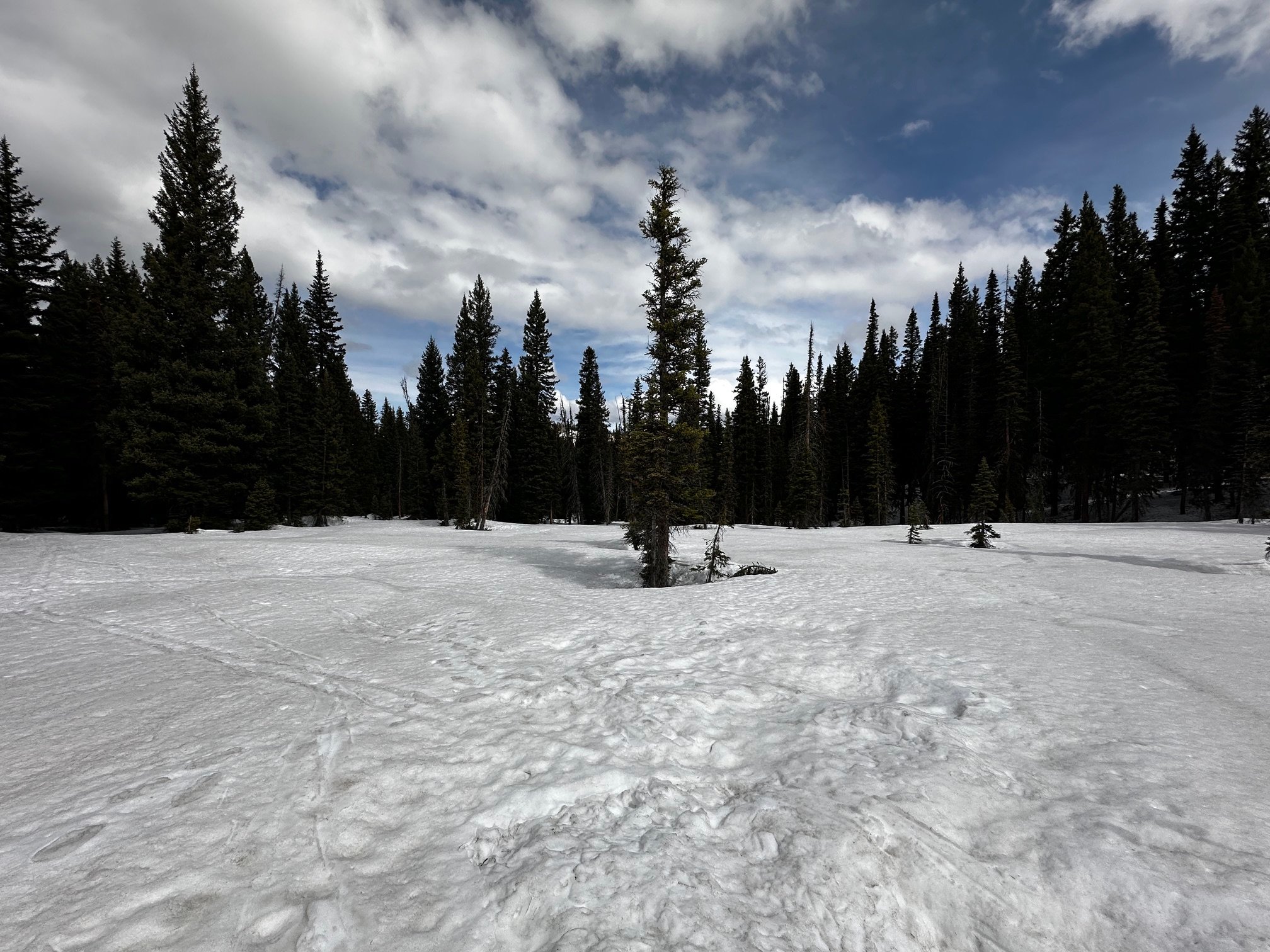
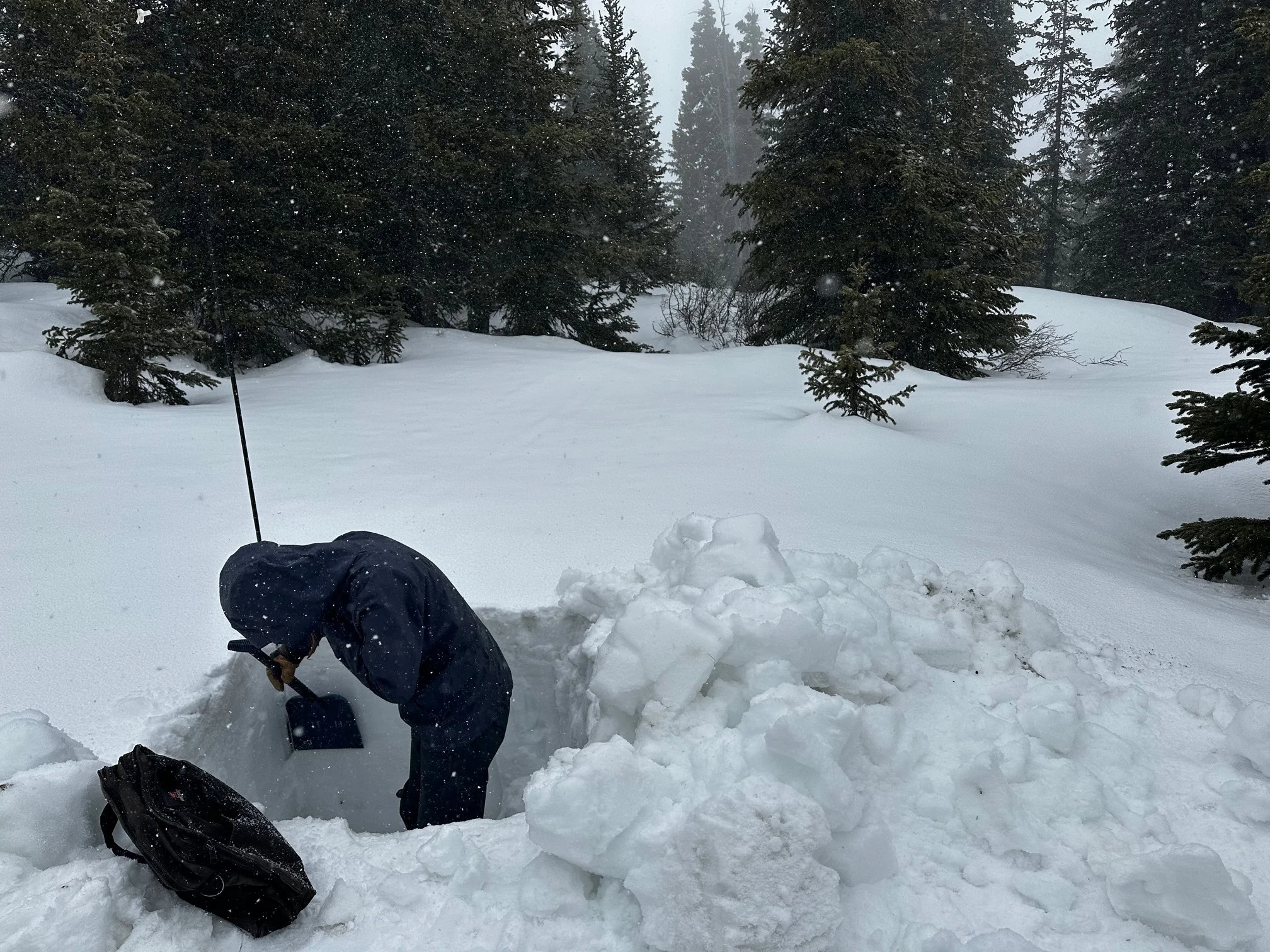
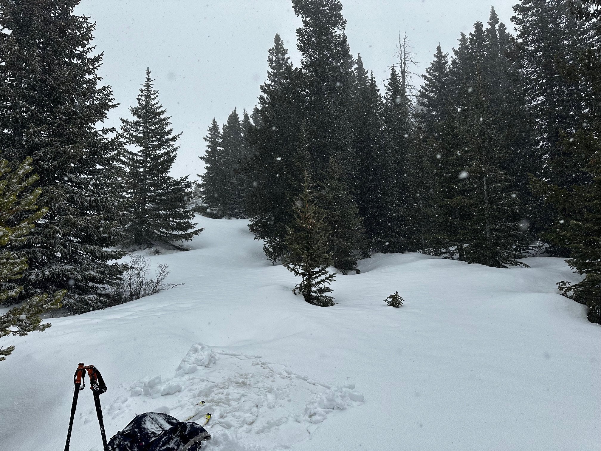
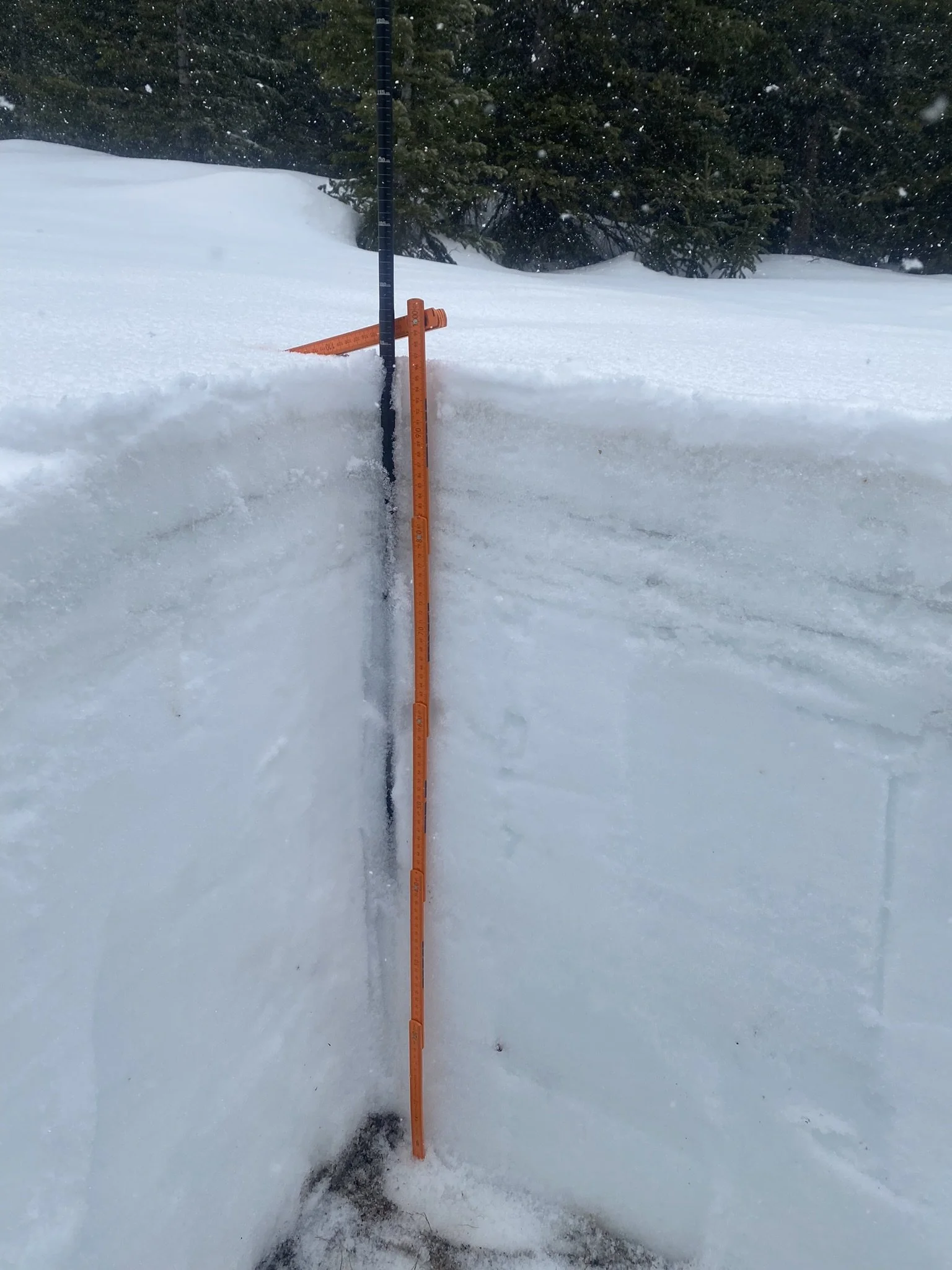
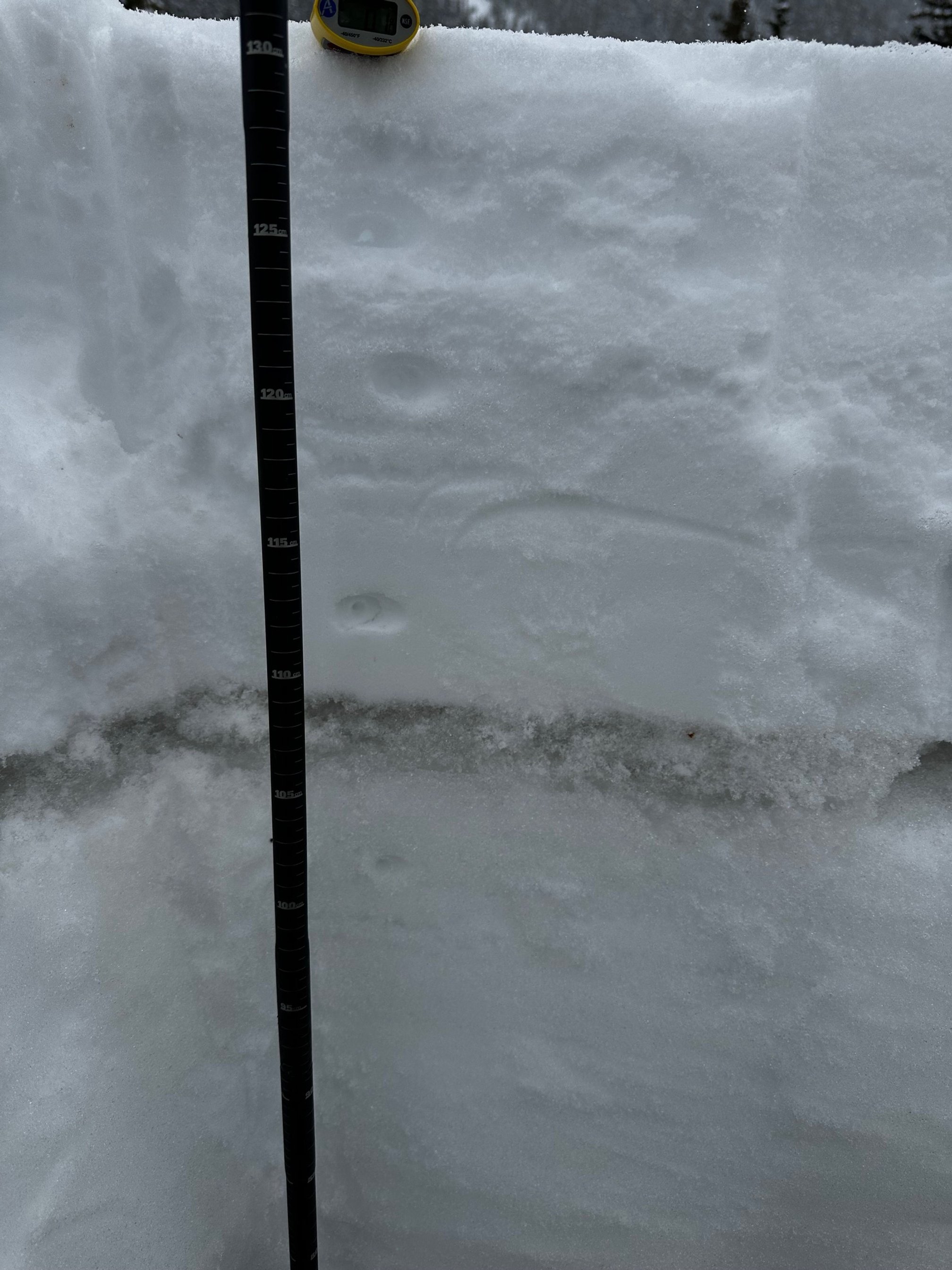
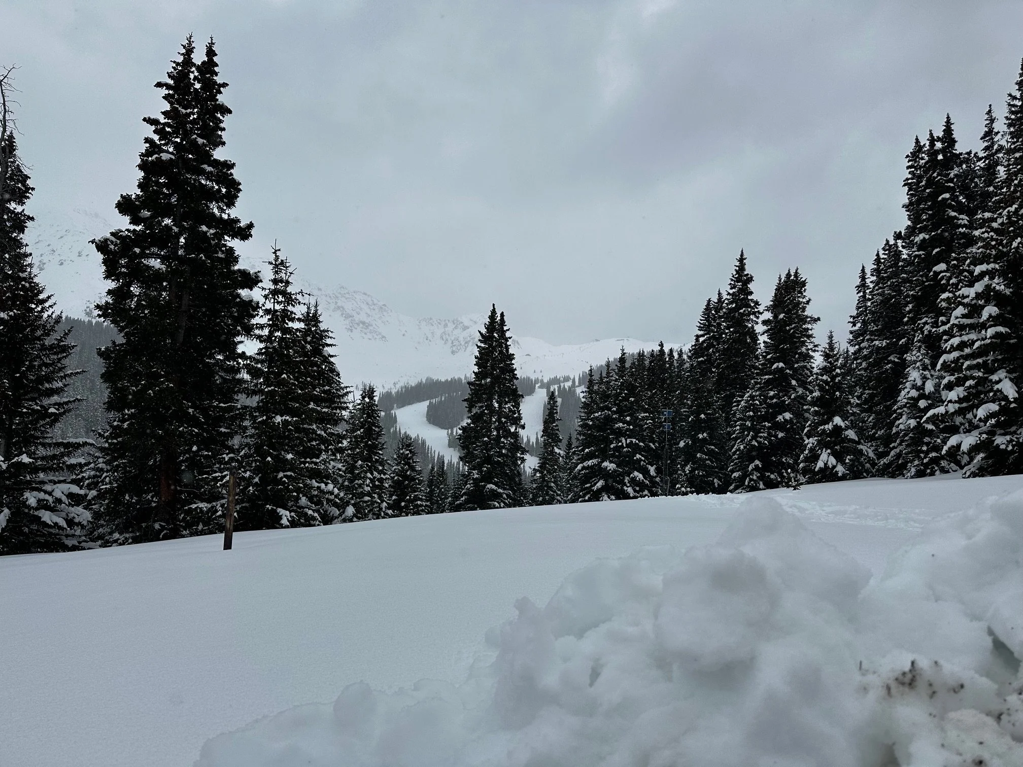
Loveland PASS: may 7
We had light snow falling as we dug our pit on Grizzly. Loveland Pass was forecasted to receive up to a foot new snow accumulation from the storm; the Grizzly SNOTEL reported 1.1” of precipitation accumulated since May 5th. In our pit, we measured measured 10.2” new snow accumulation as 1.7” SWE. Total SWE is 17.8” as 4.4’ total depth. Grizzly Peak SNOTEL is another station that is looking good compared to most, at 108% of median SWE with 17.6”.
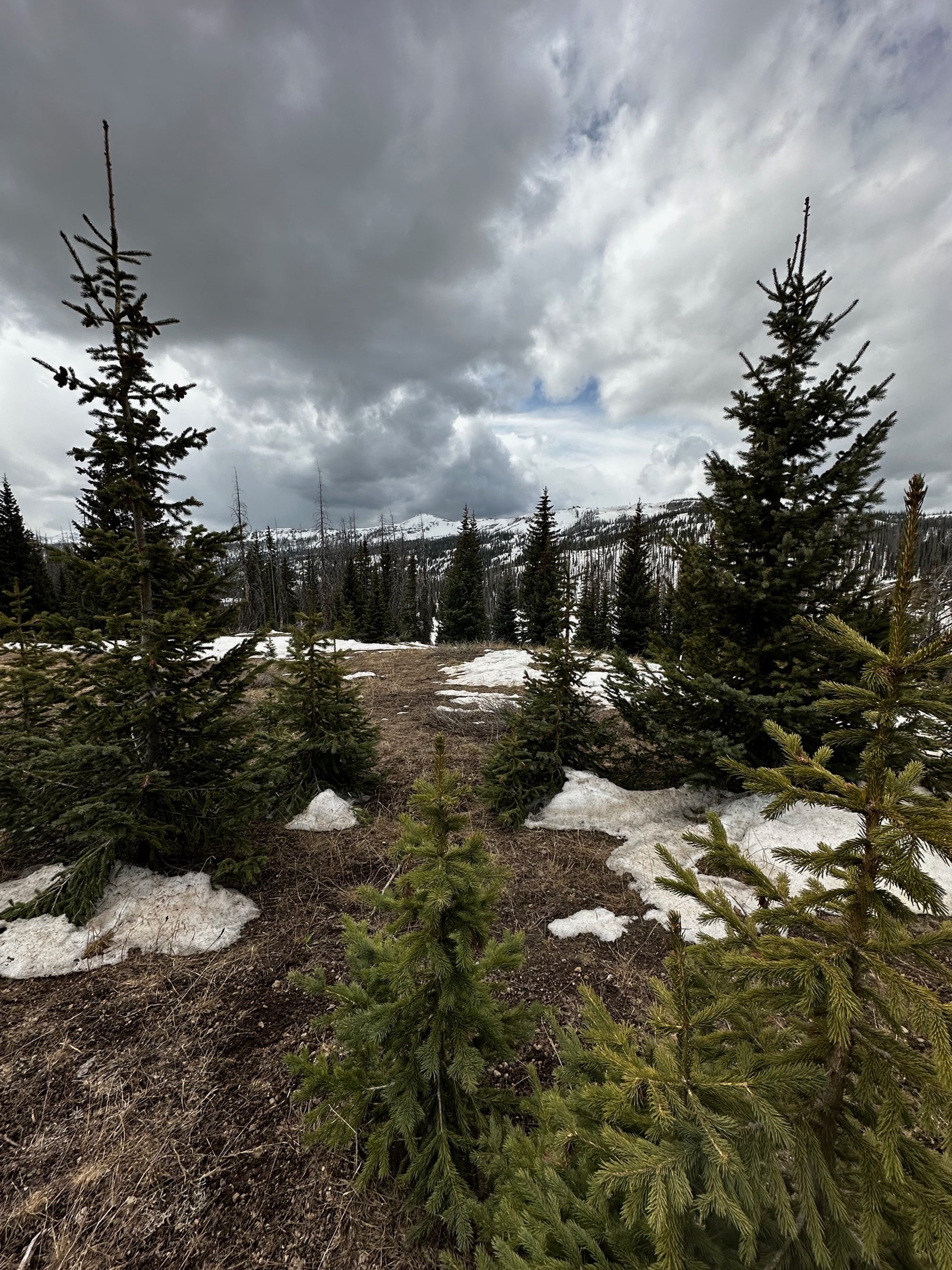
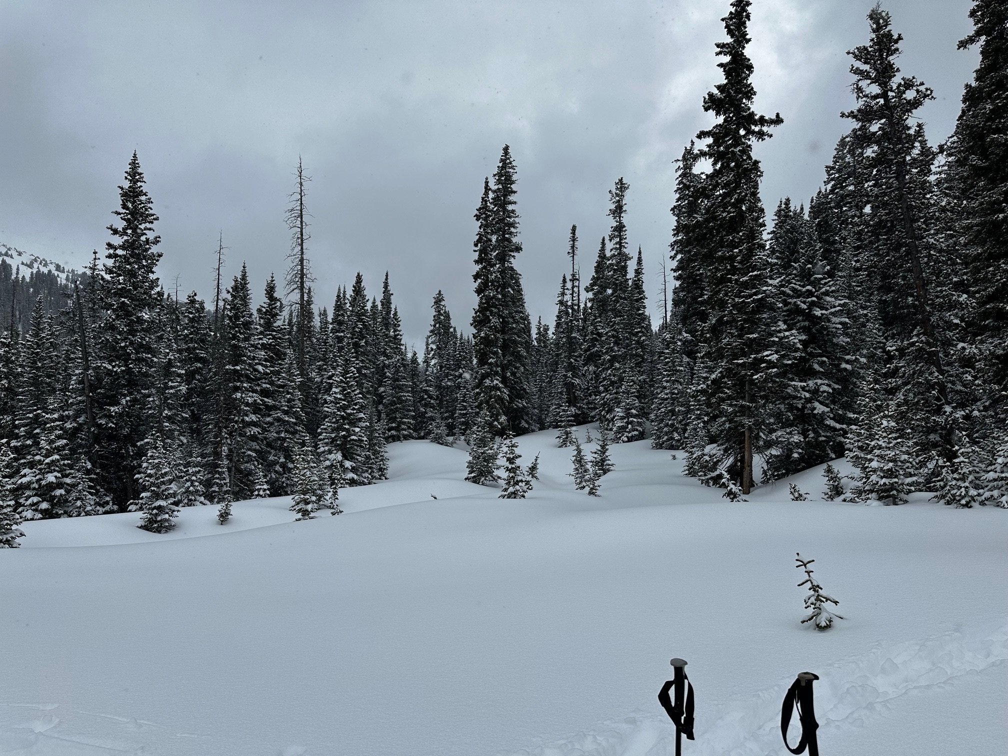
WILLOW Creek PASS: may 7
Our Willow Creek site had patchy snow, but our pit site had melted out. Willow Creek Pass SNOTEL reported 12.2” of SWE which is 83% of the median for this time of year.


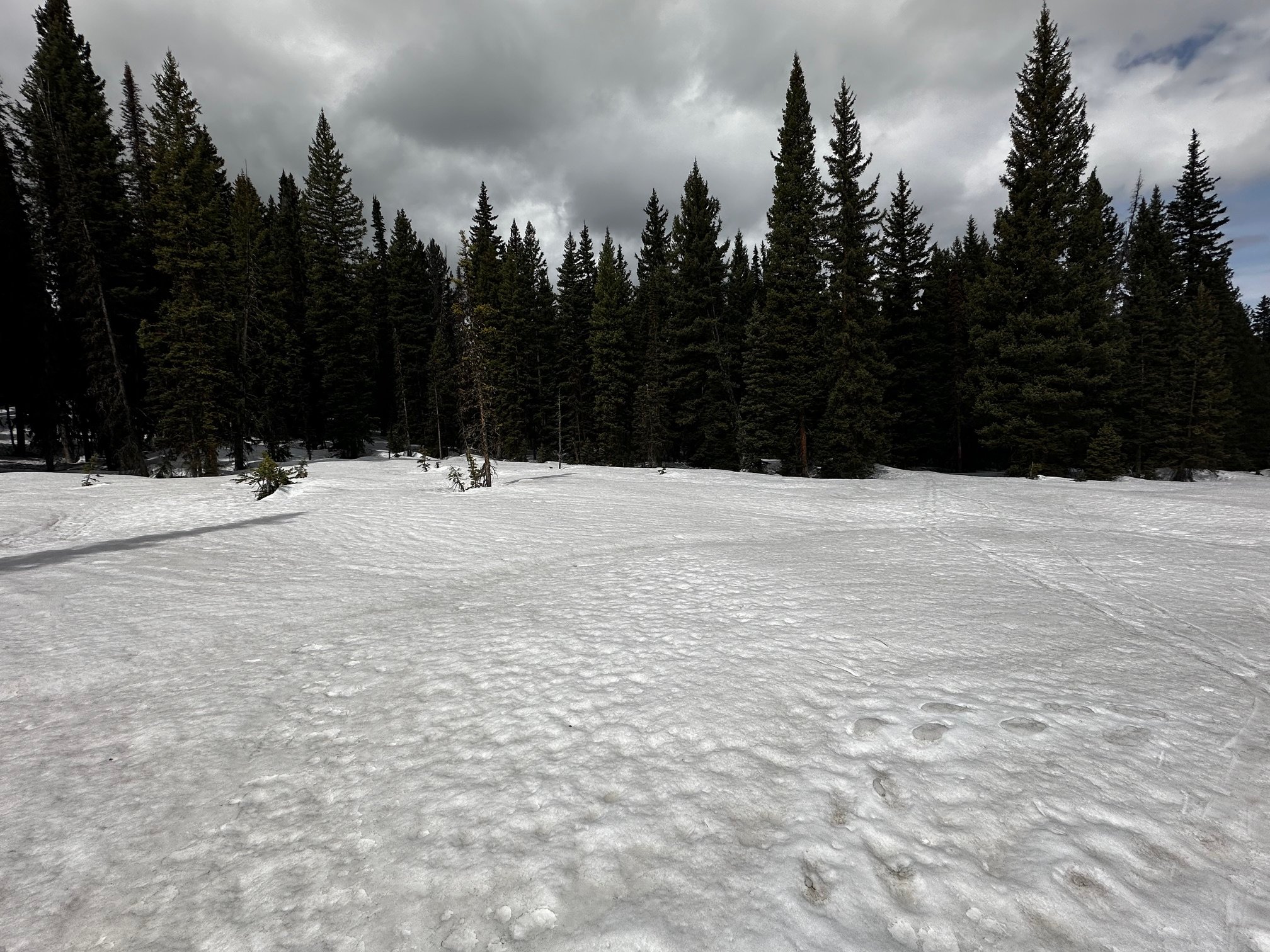
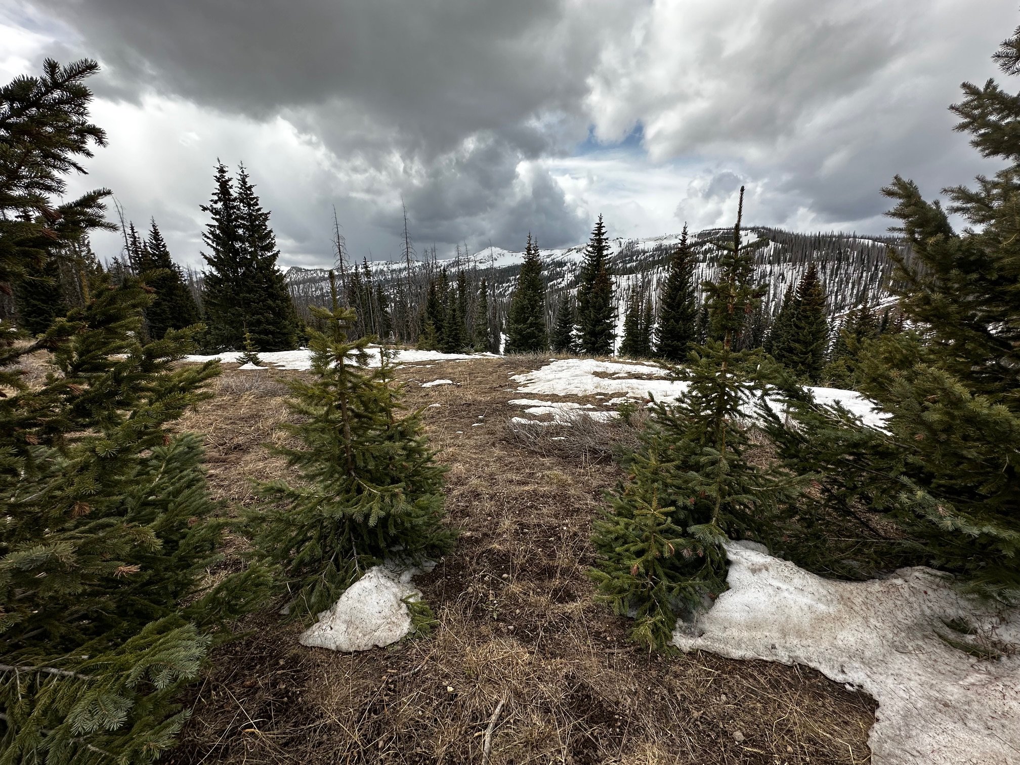
RABBIT EARS PASS: may 6
Rabbit Ears SNOTEL SWE is at 67% of the median this year, with 14.2” of SWE. It was largely left out of this last storm, which concentrated itself in the central mountains. In our pit, we measured 24.4” SWE as 4.4’ depth.