CODOS Tour Update March 18, 2023: Lot’s O’ Snow, Min Dust
Greetings from Silverton,
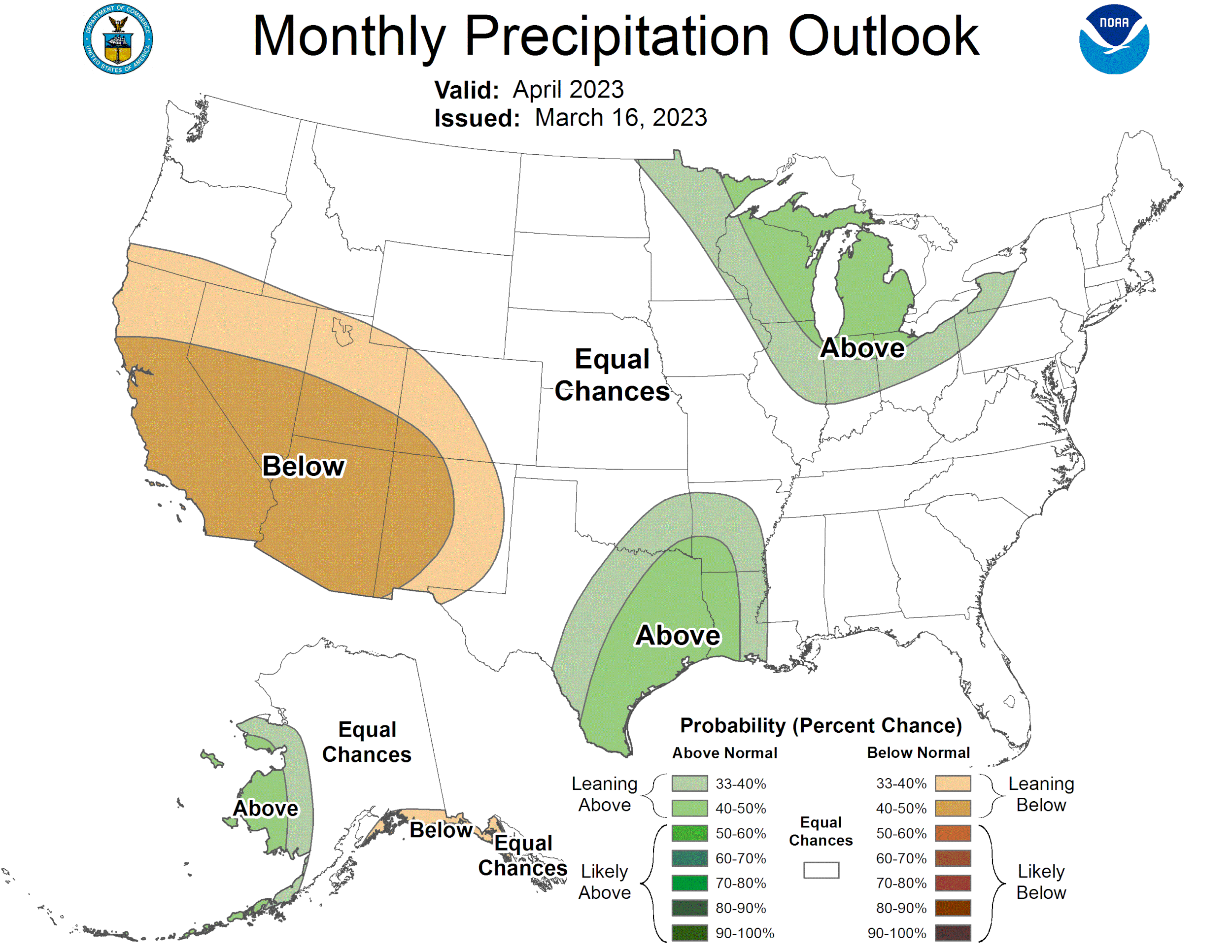
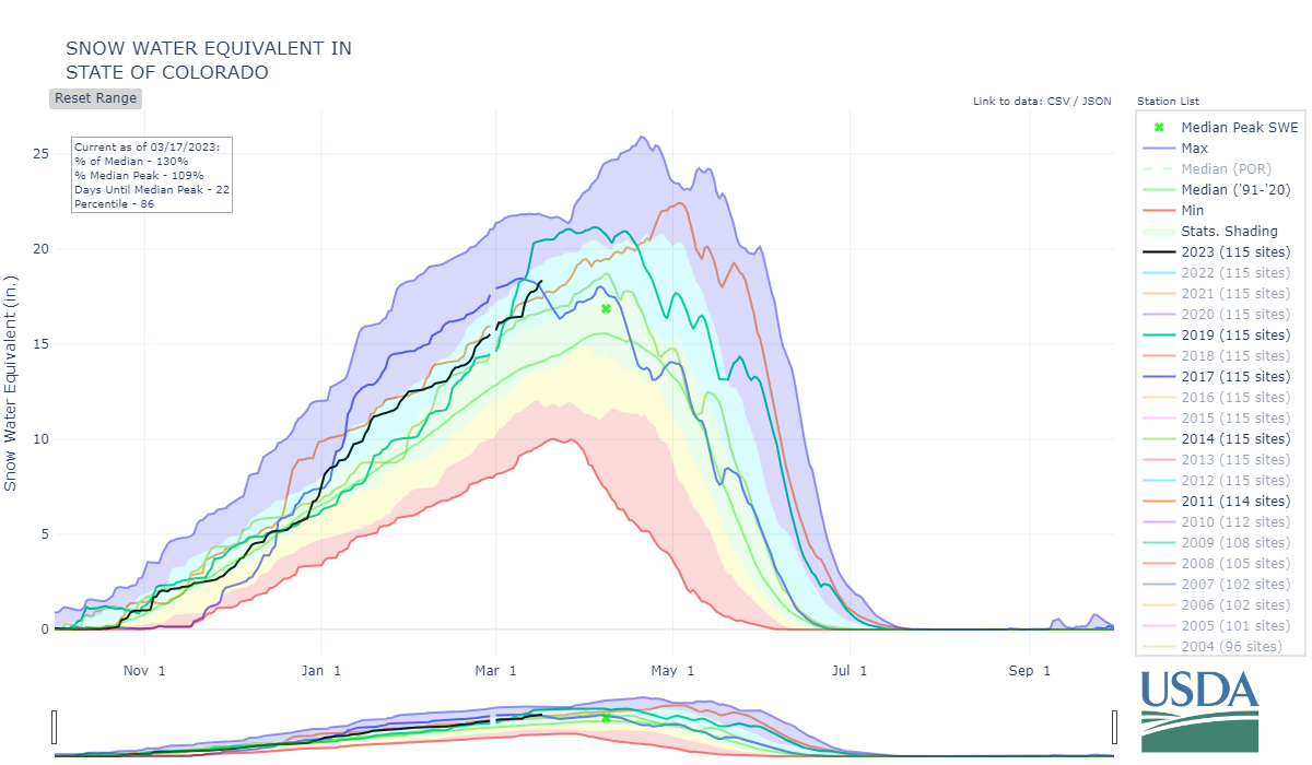
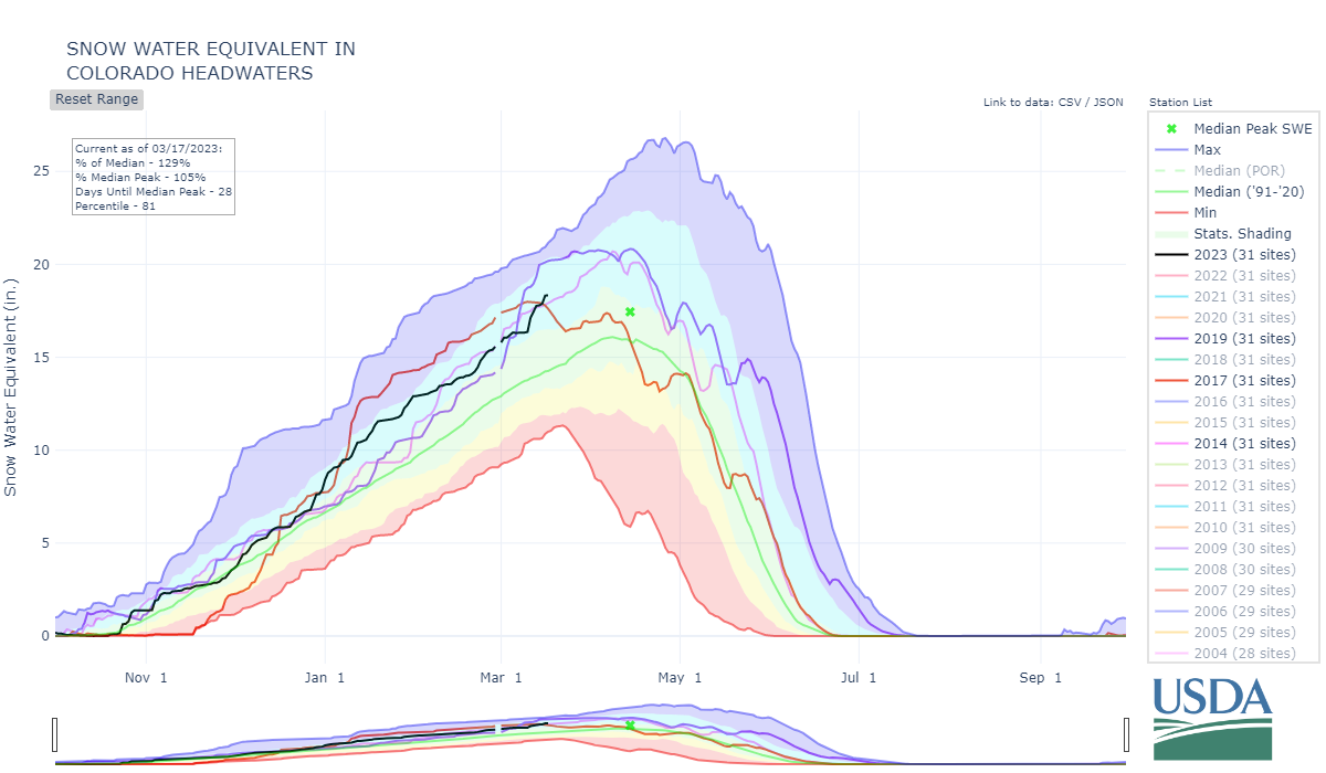
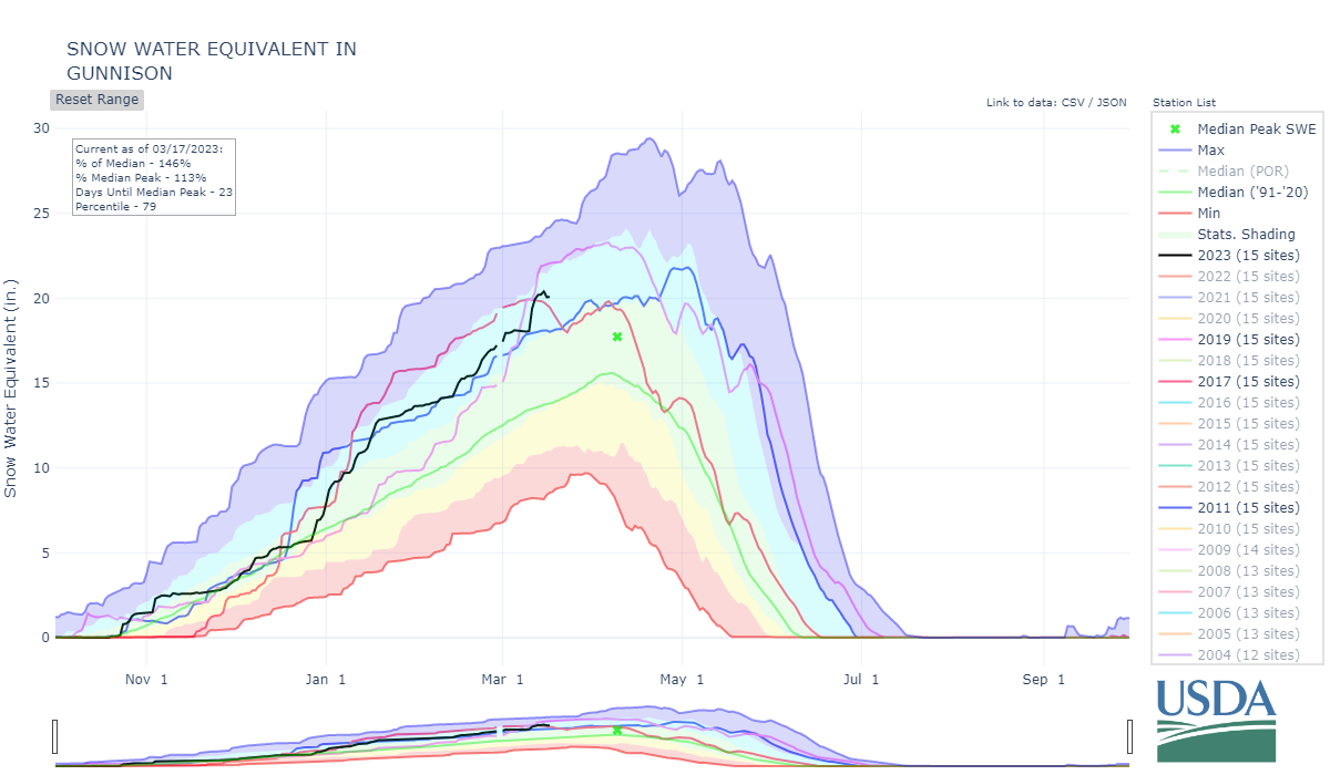
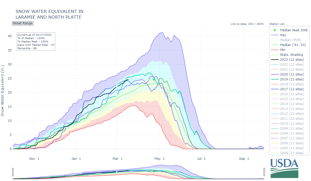
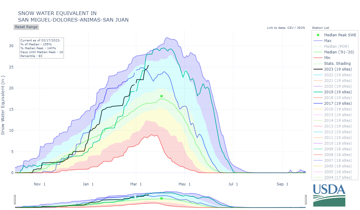
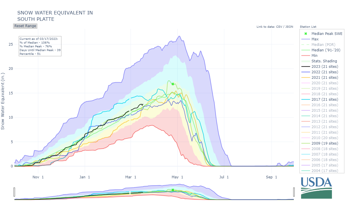
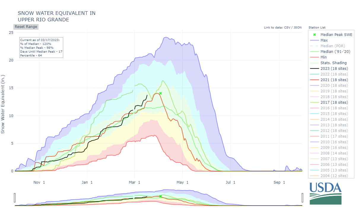
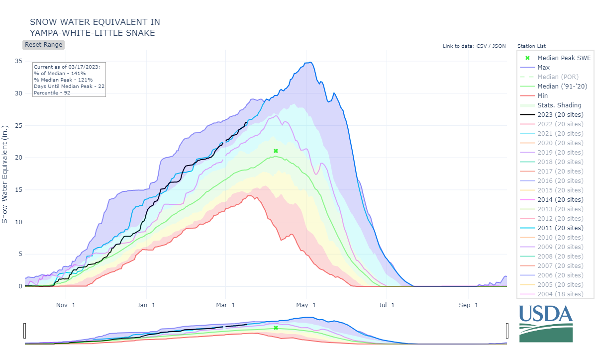
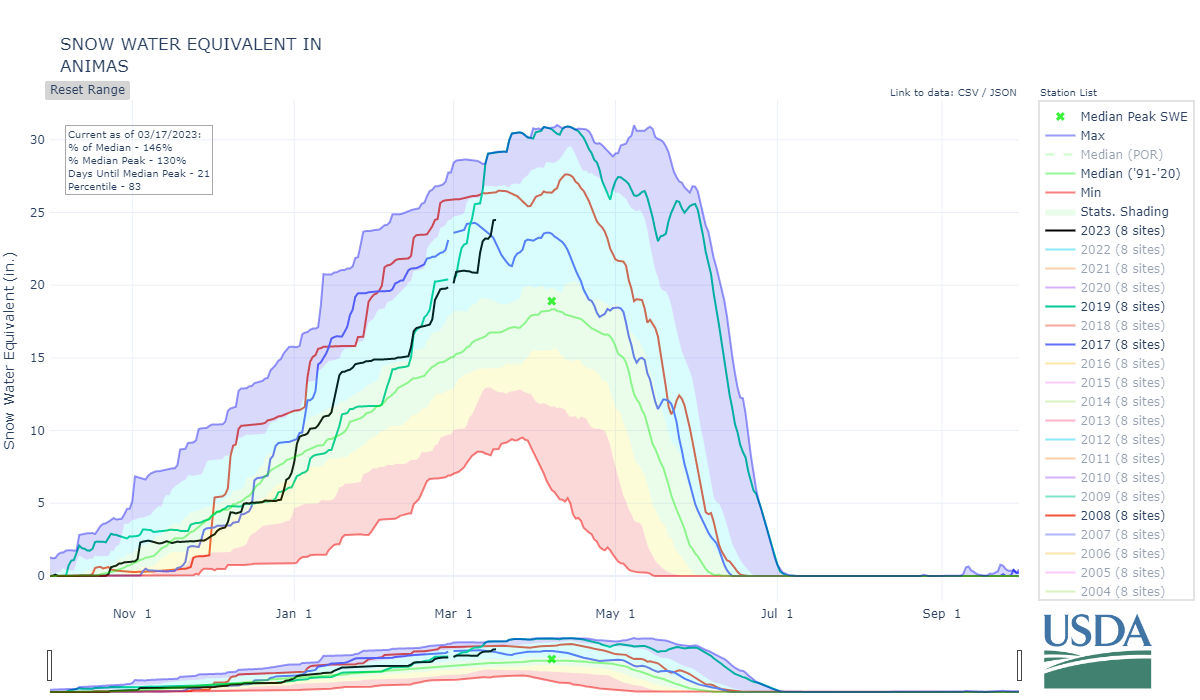
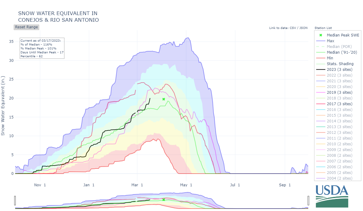
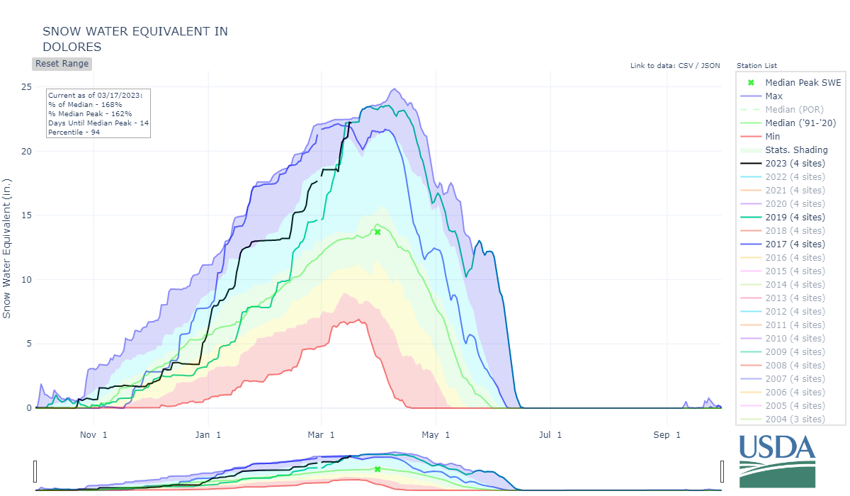
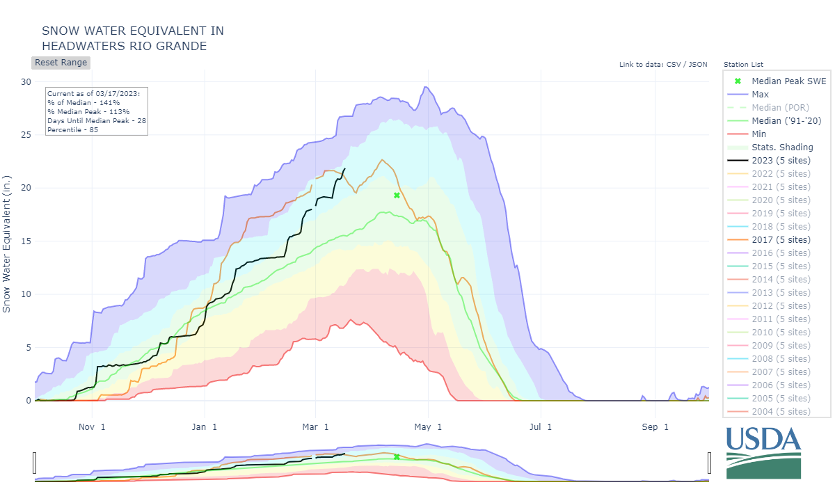
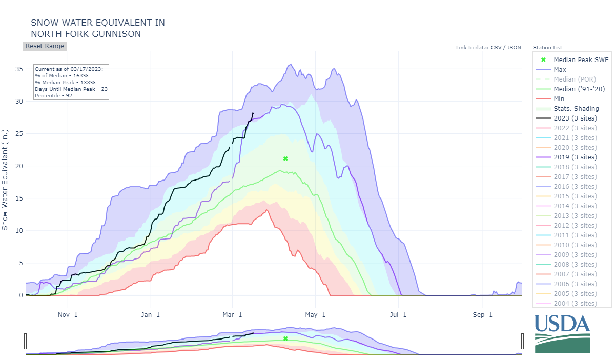
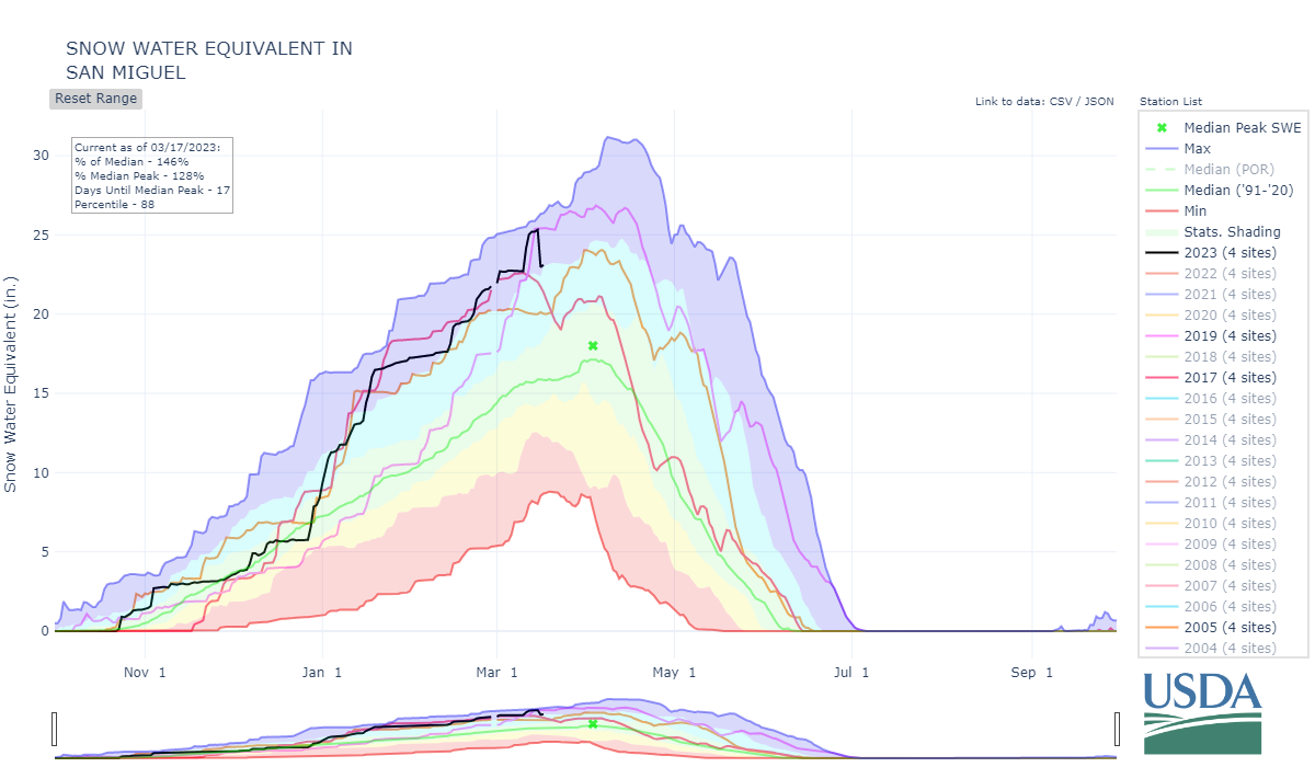
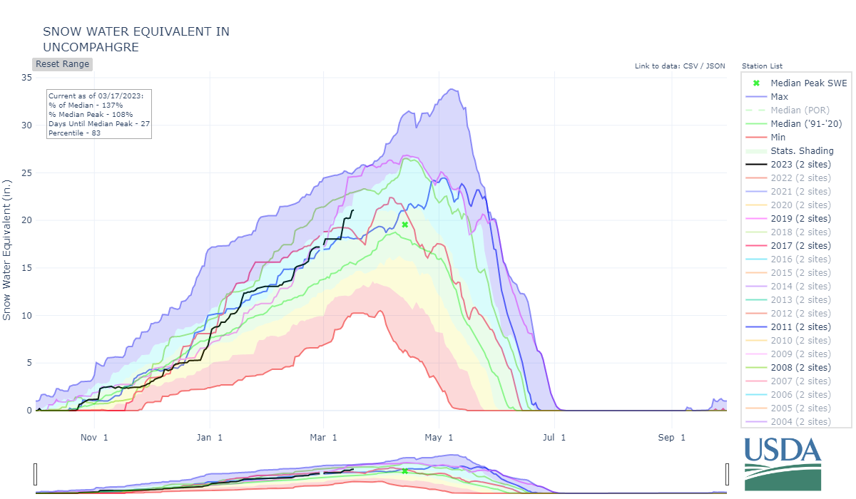
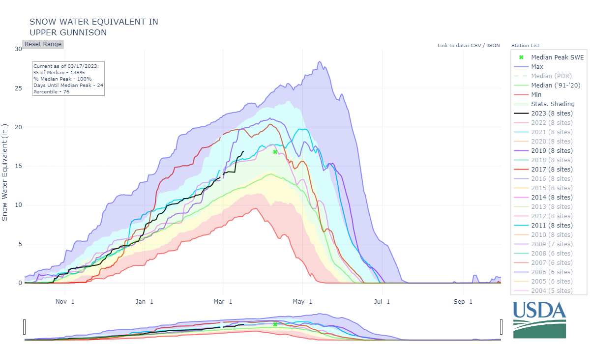
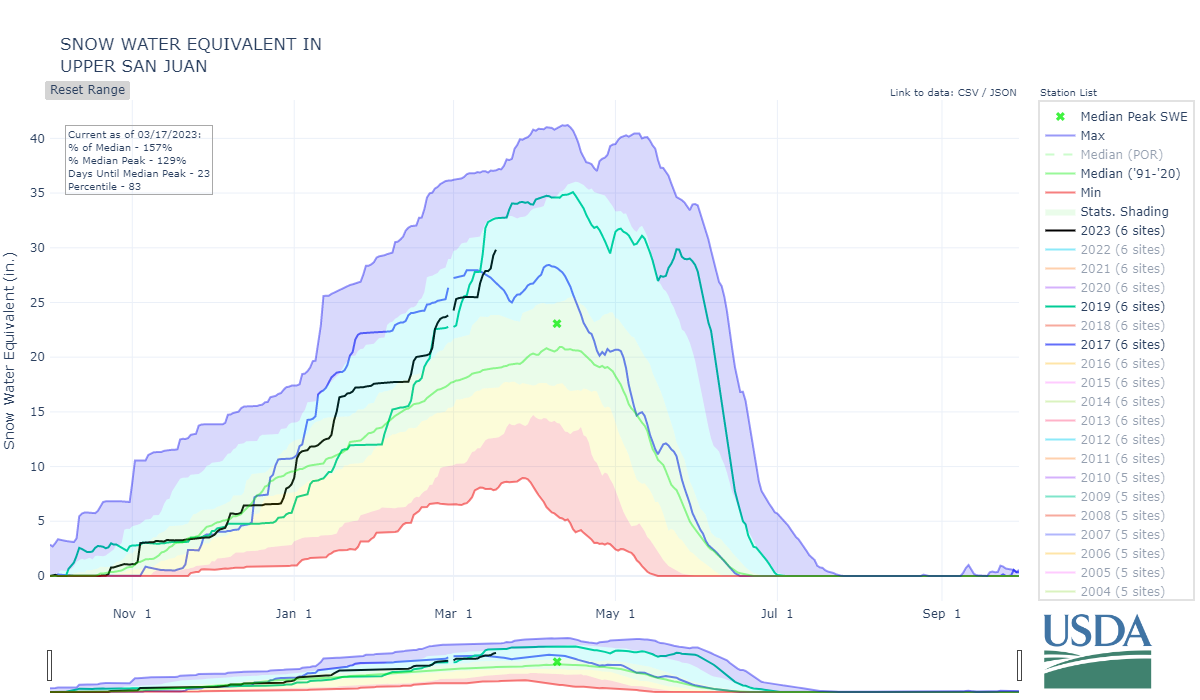
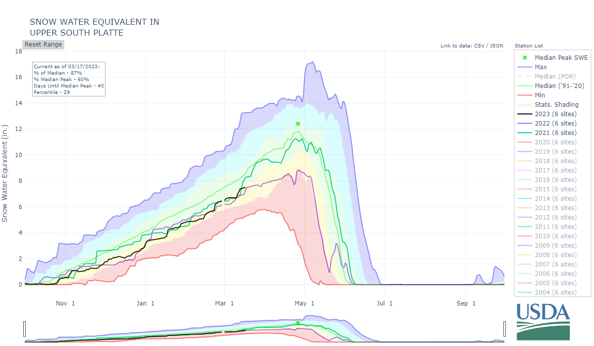
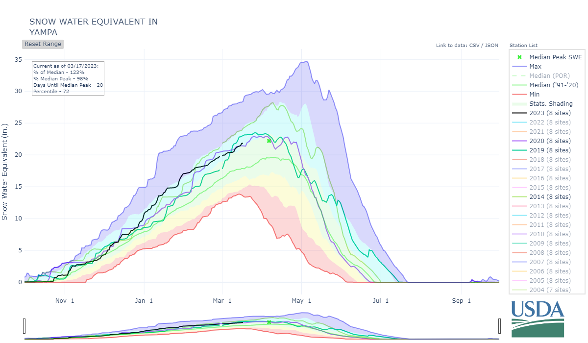
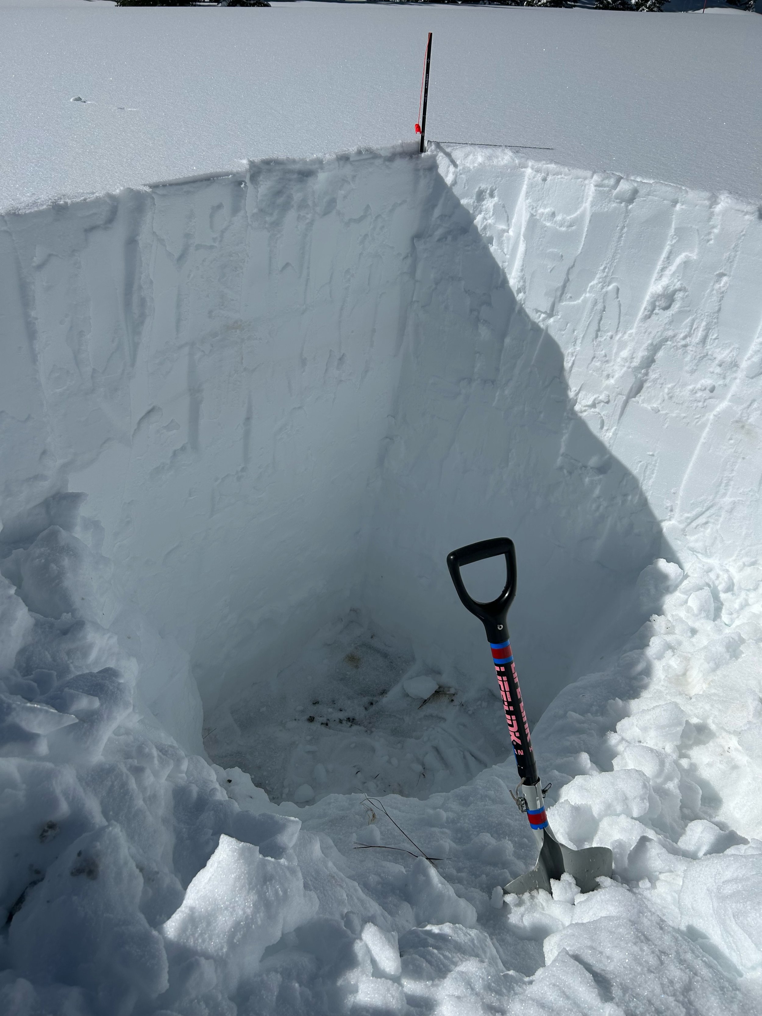
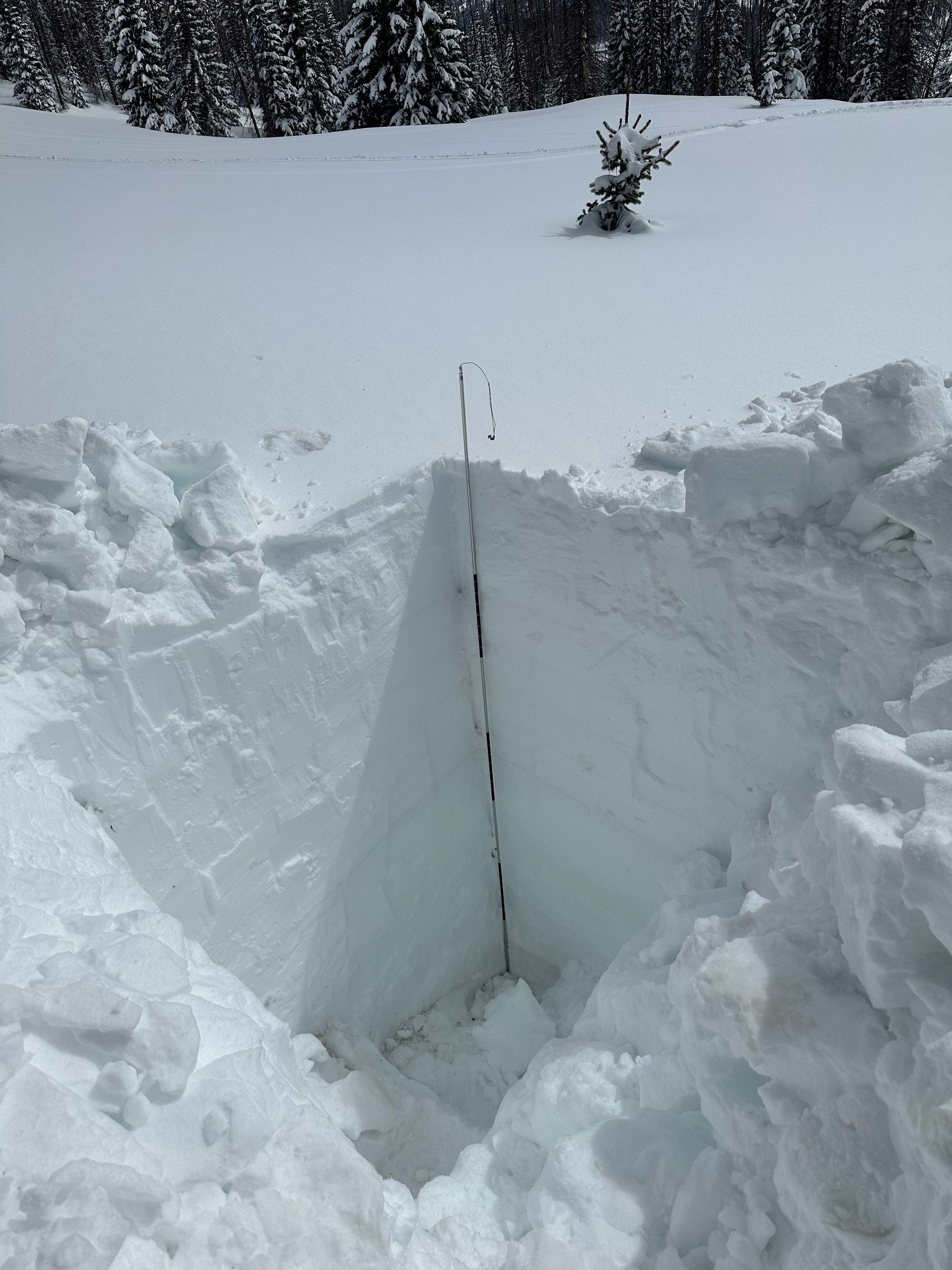
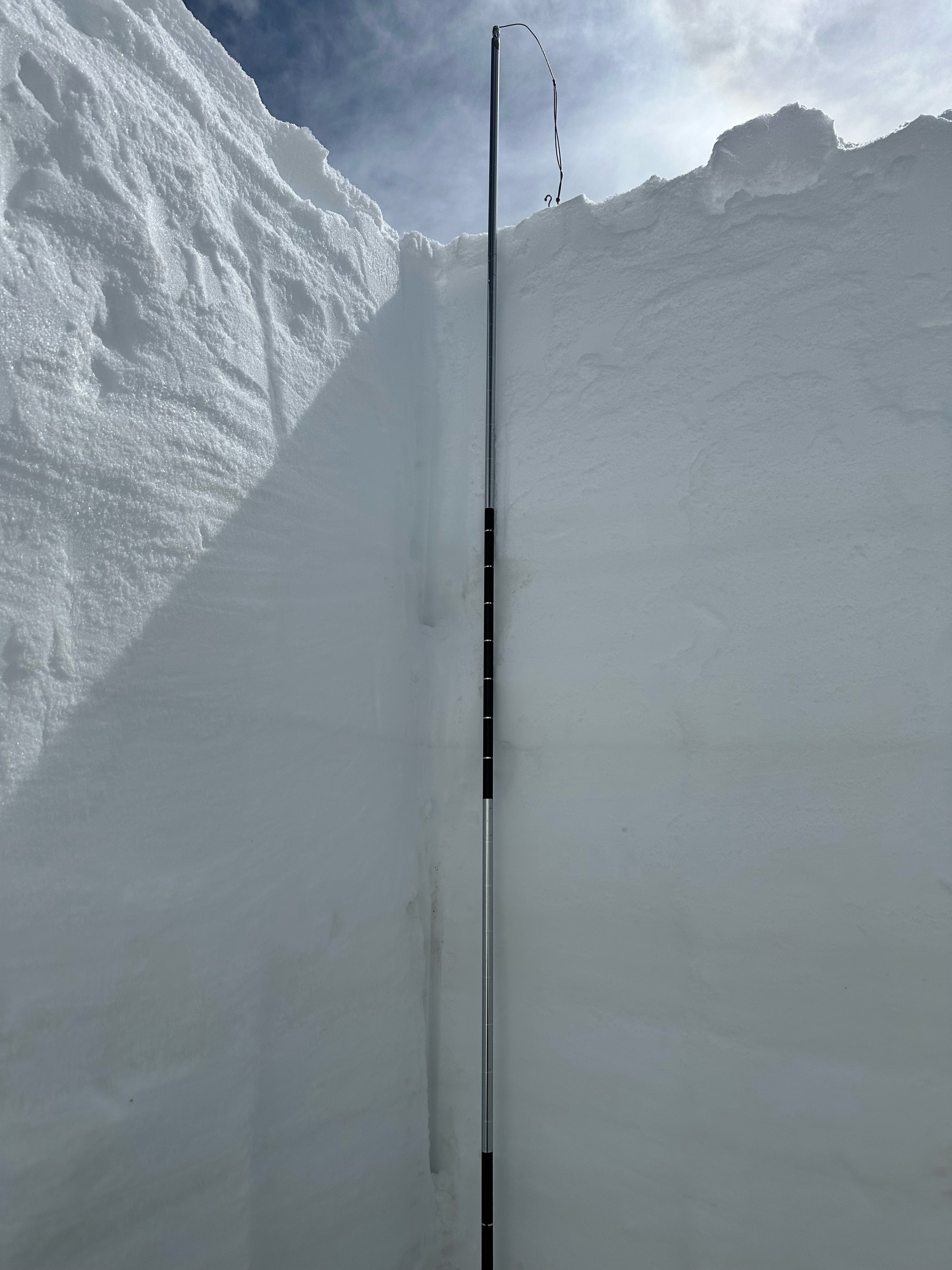
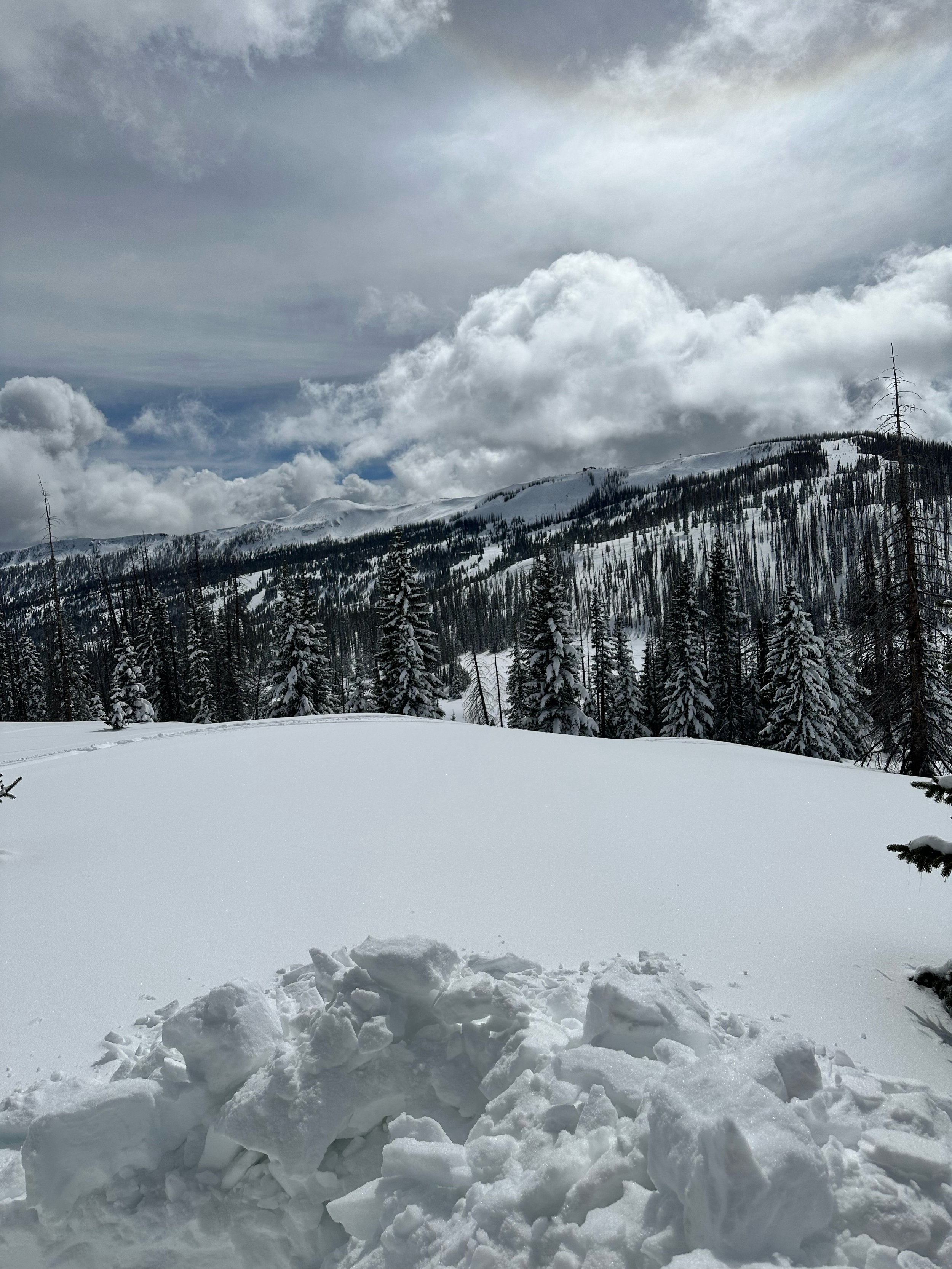
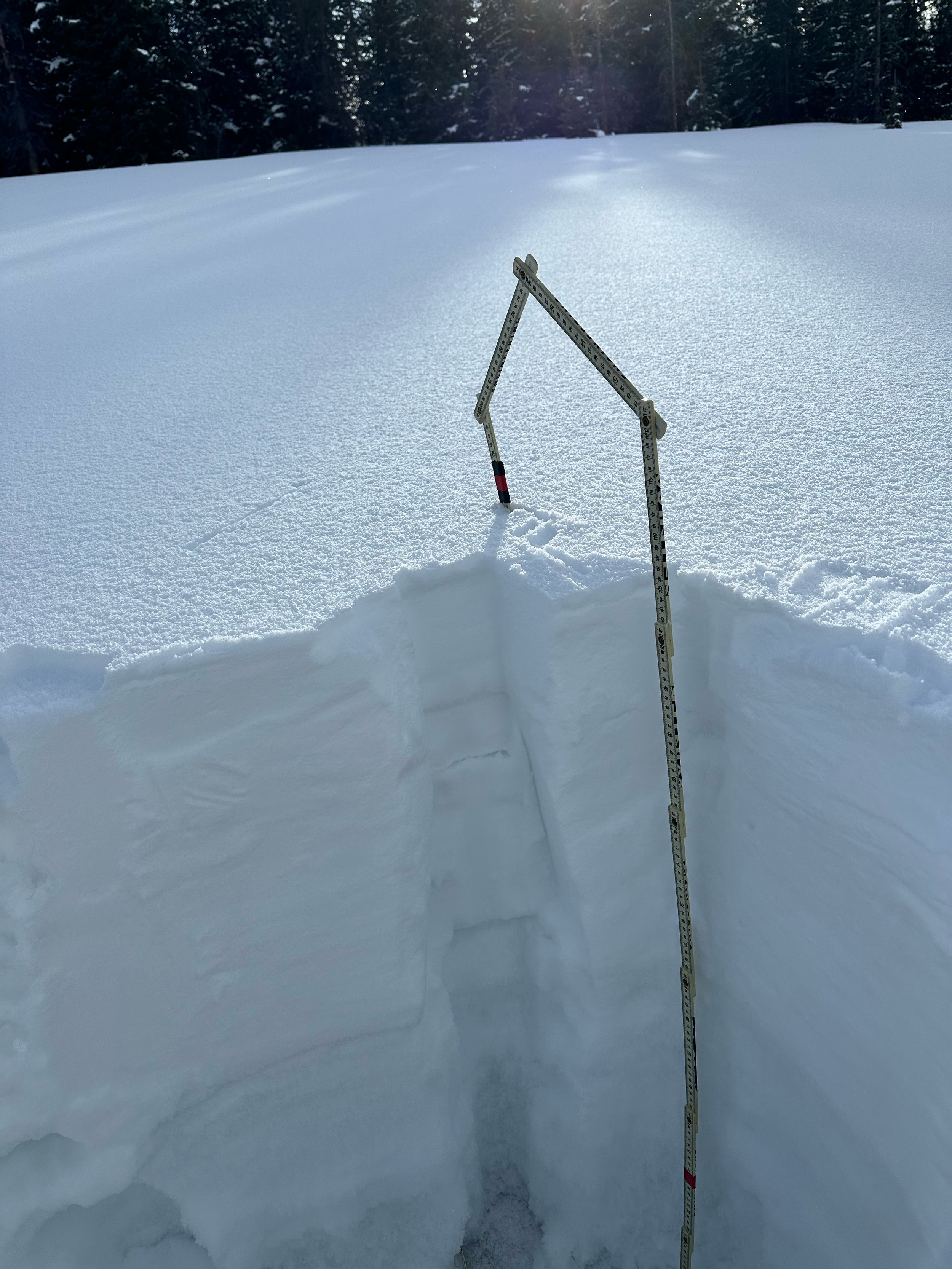
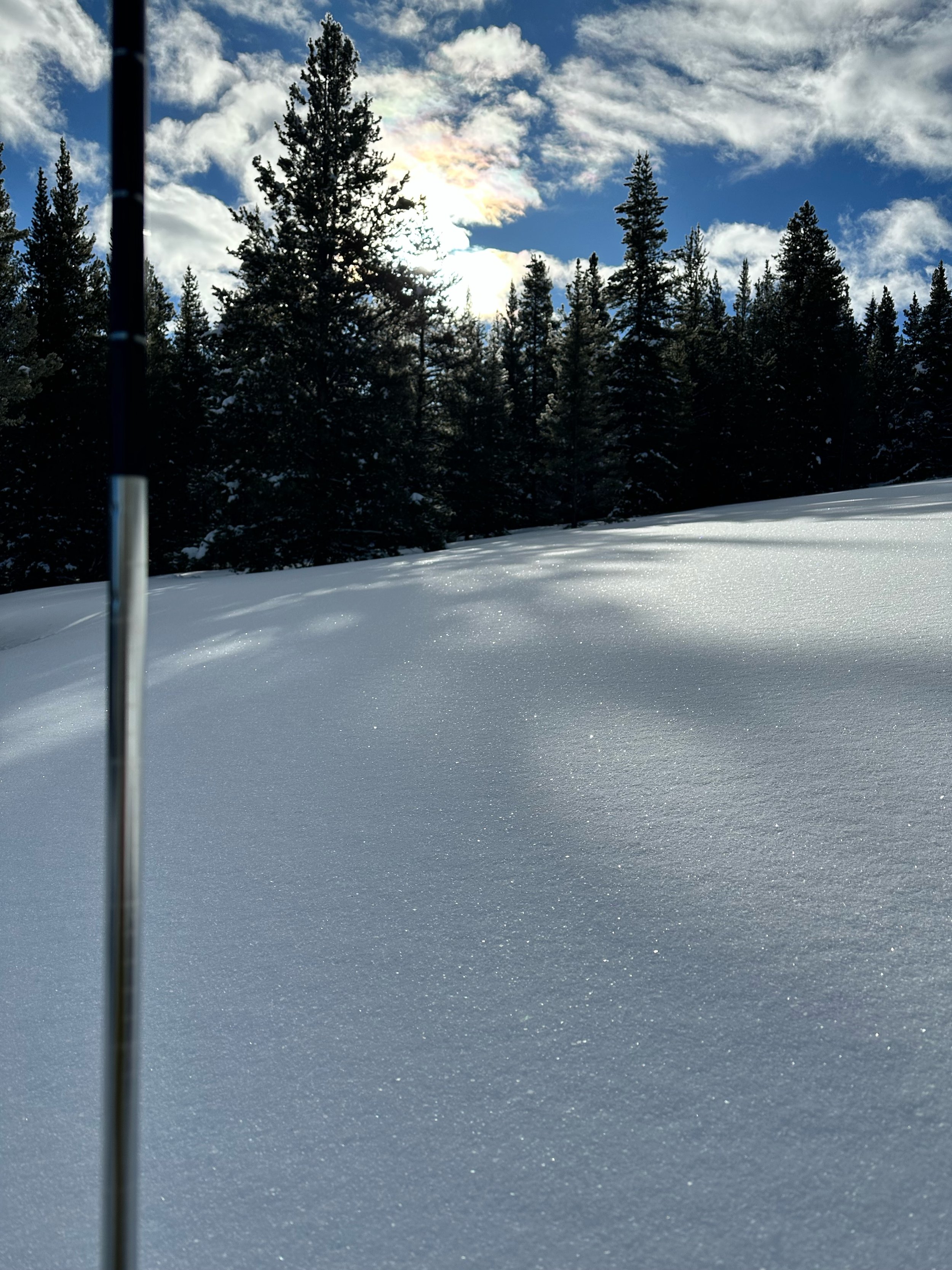
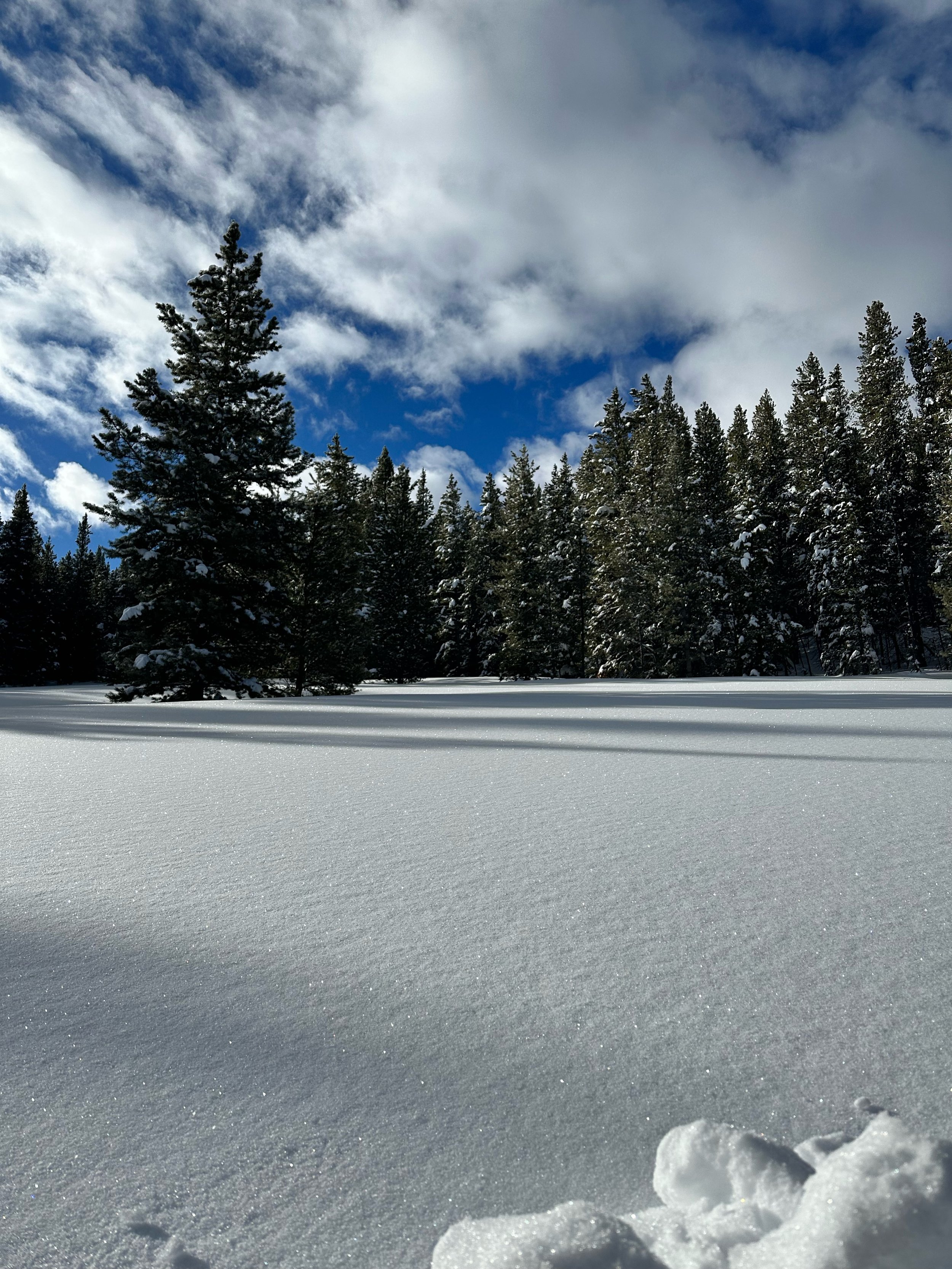
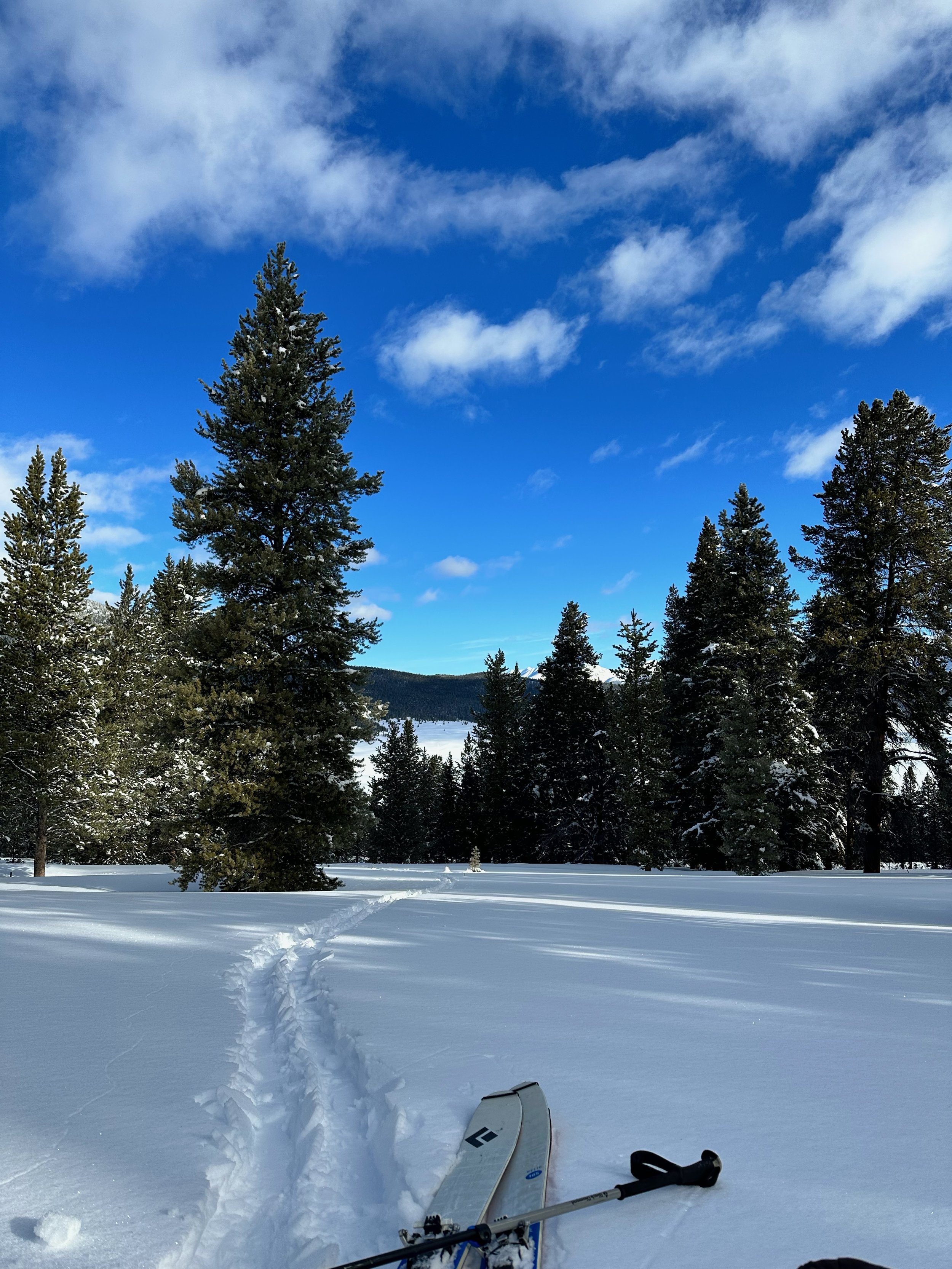
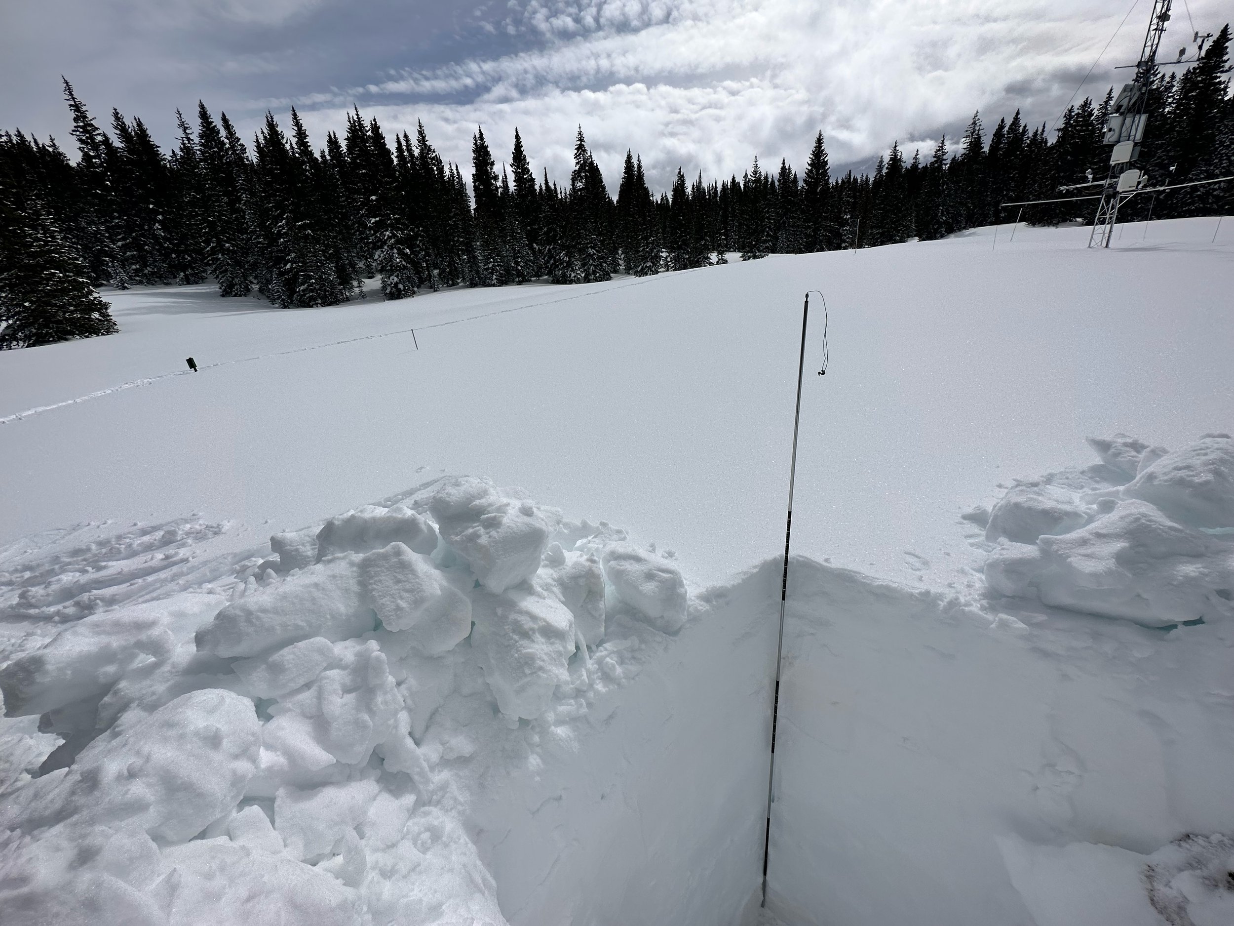
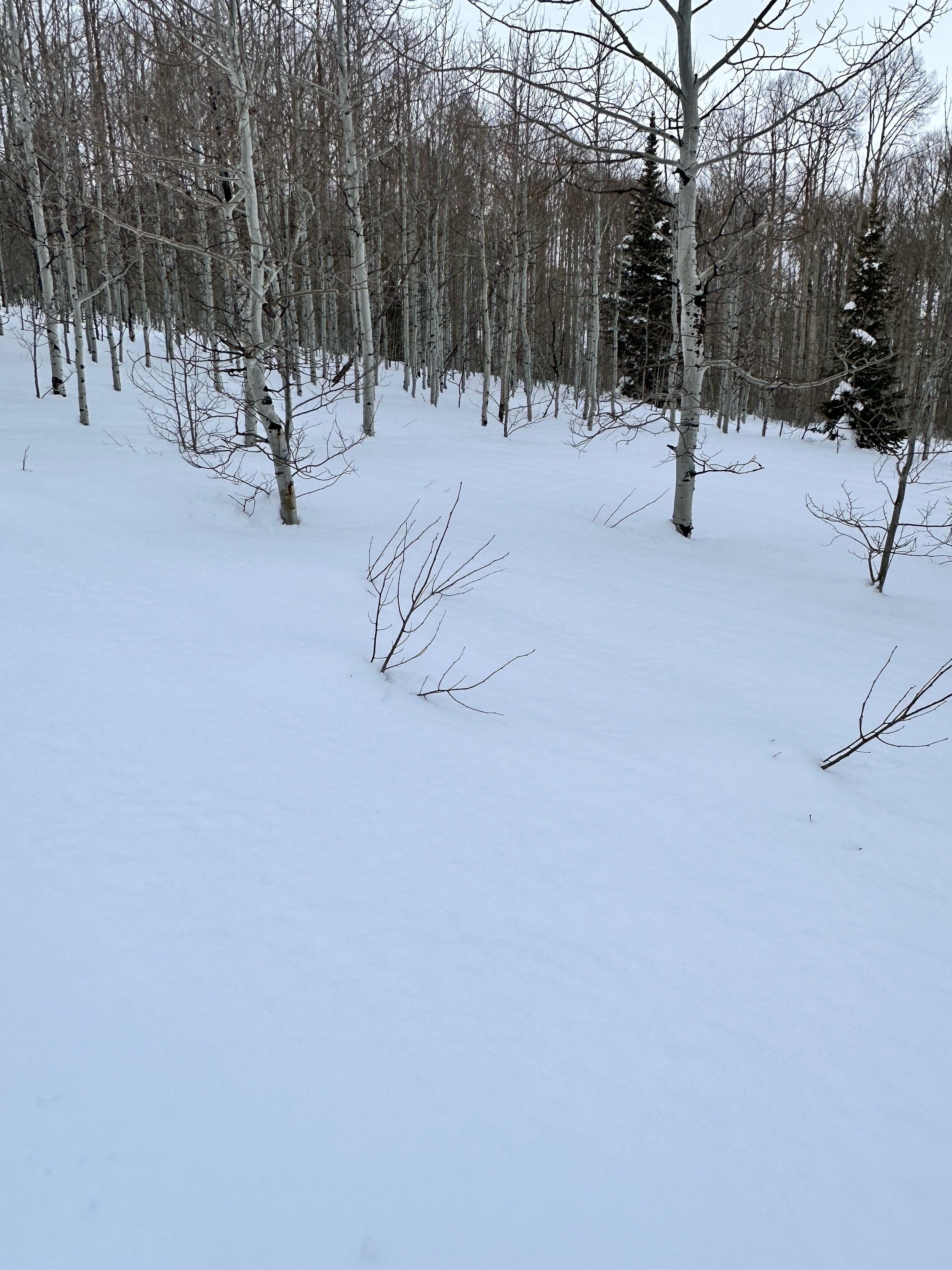
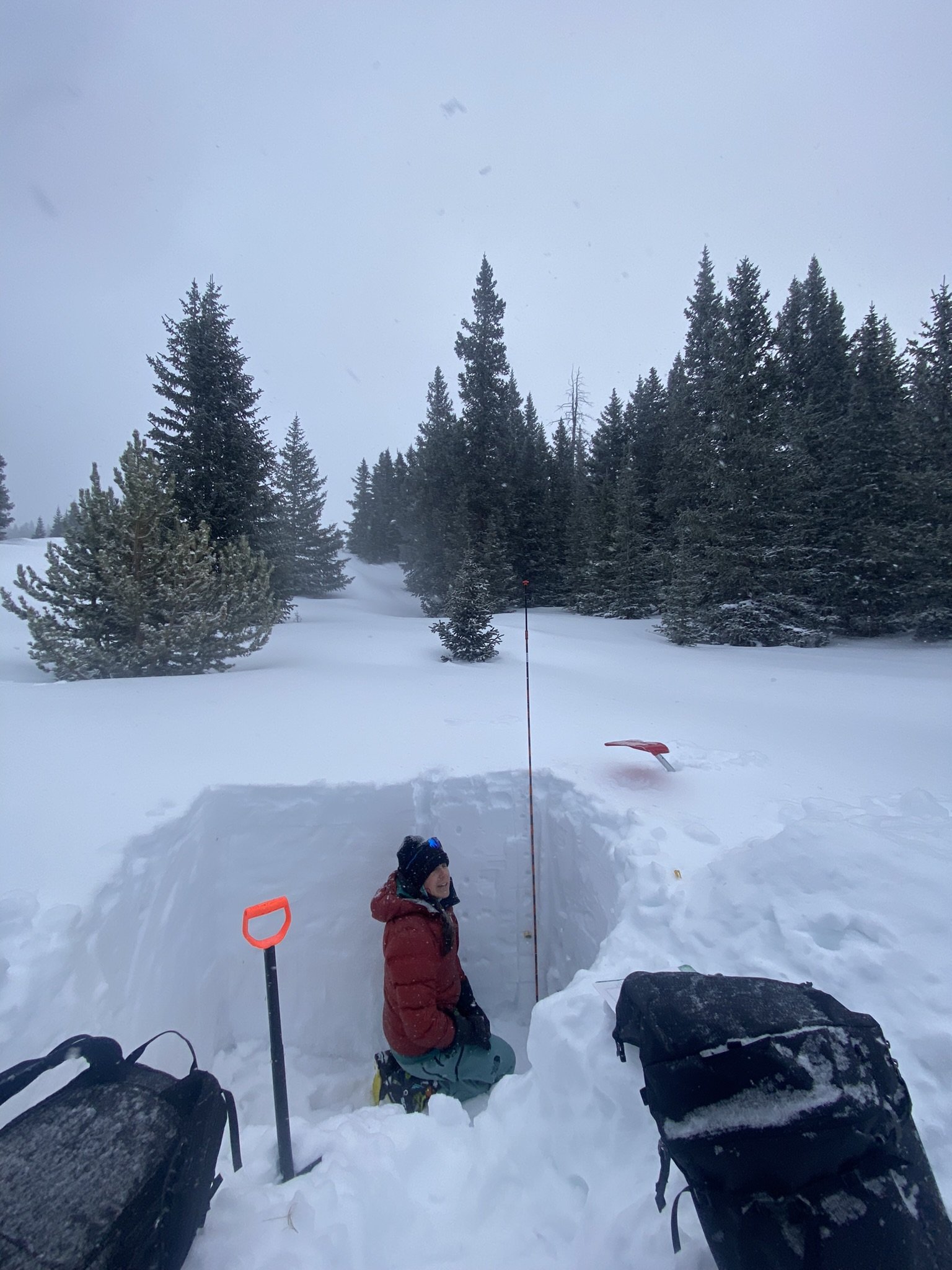
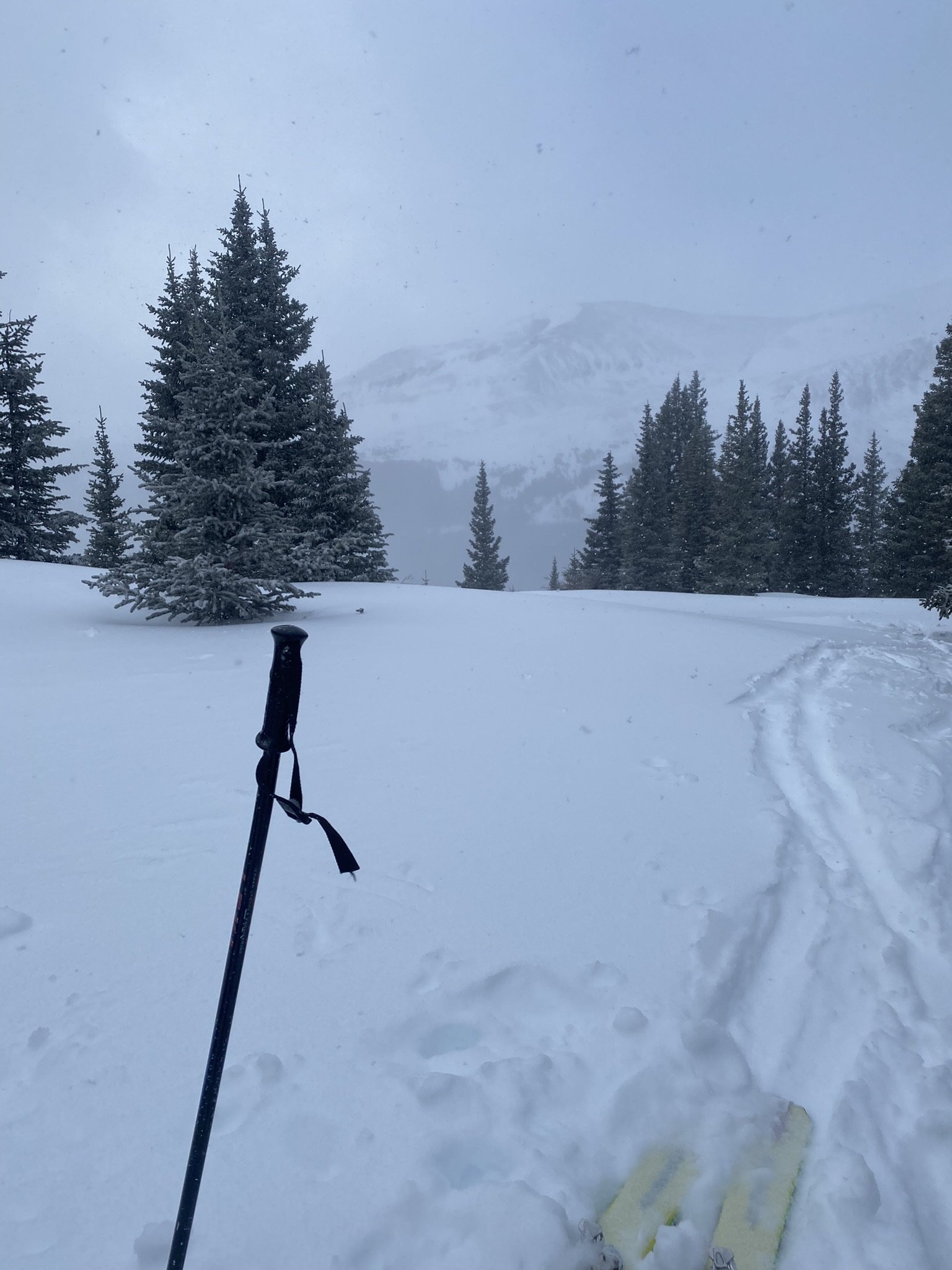
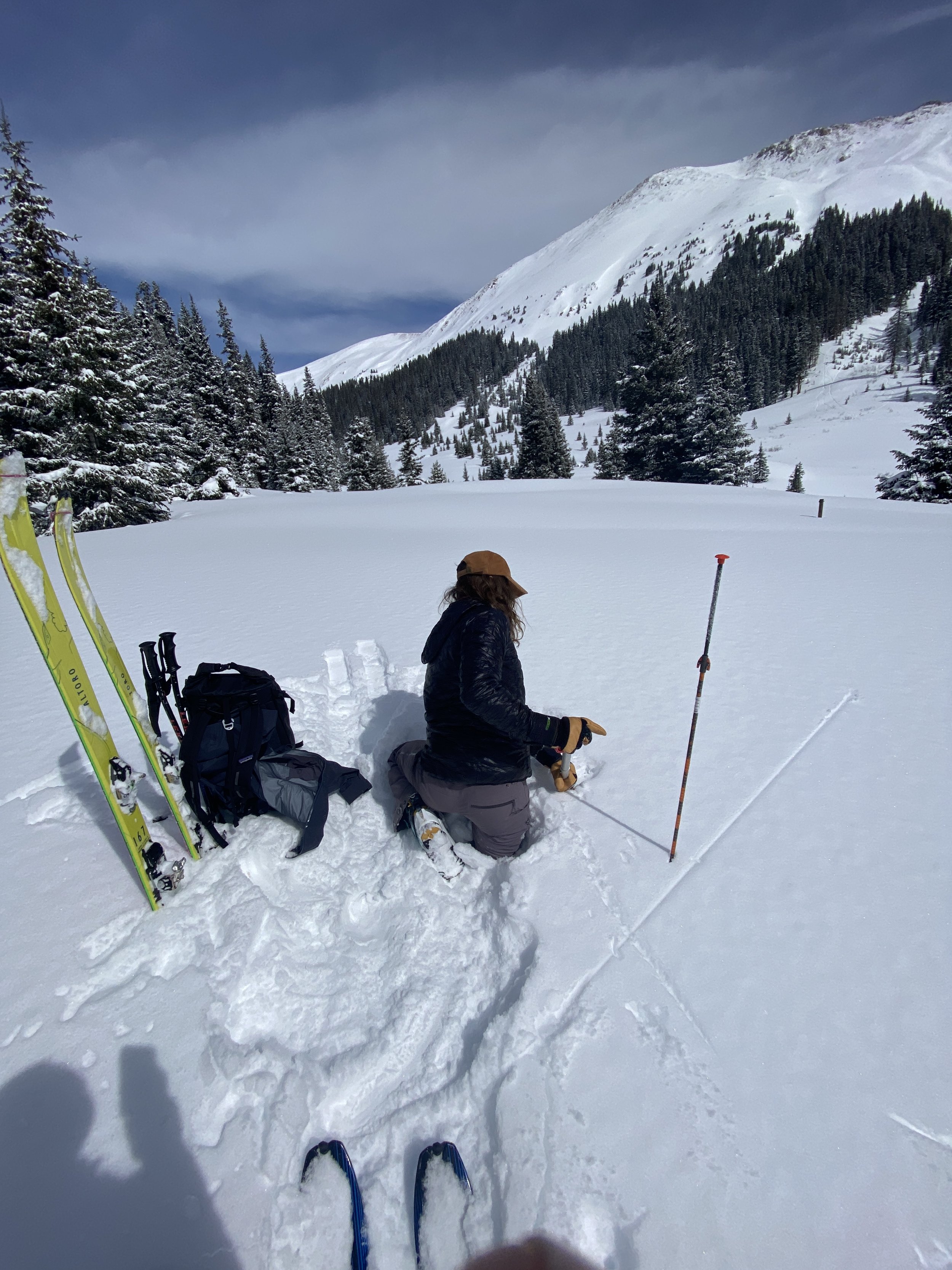
Yeah there’s a lot of snow out there. Our usual CODOS circuit was a time consuming heap of work digging the much deeper than usual snow profiles. The first stop was Wolf Creek where the snowpack was 2.6 m. When we got to typically shallower sample sites like Park Cone, McClure, and Spring Creek, the snow was still 1.4, 1.9, and 1.1 m deep, respectively. The snowpack is very healthy and getting healthier. The last round of storms did a number, at Swamp Angel the last couple days brought another 1.1” precipitation (a storm report will be posted soon). The forecast next week is for another round of statewide snow that looks to favor the San Juan’s, it has been dialed back a little but still supposedly another 3.4” precipitation near the Red Mt Pass area. The Dolores and San Miquel just hit the rarified air of WY2019 snowpack amounts (see below) and most other basins show an uptick as well. The outlook though is calling for a drying out as we approach and get into April (see outlook maps at bottom of page).
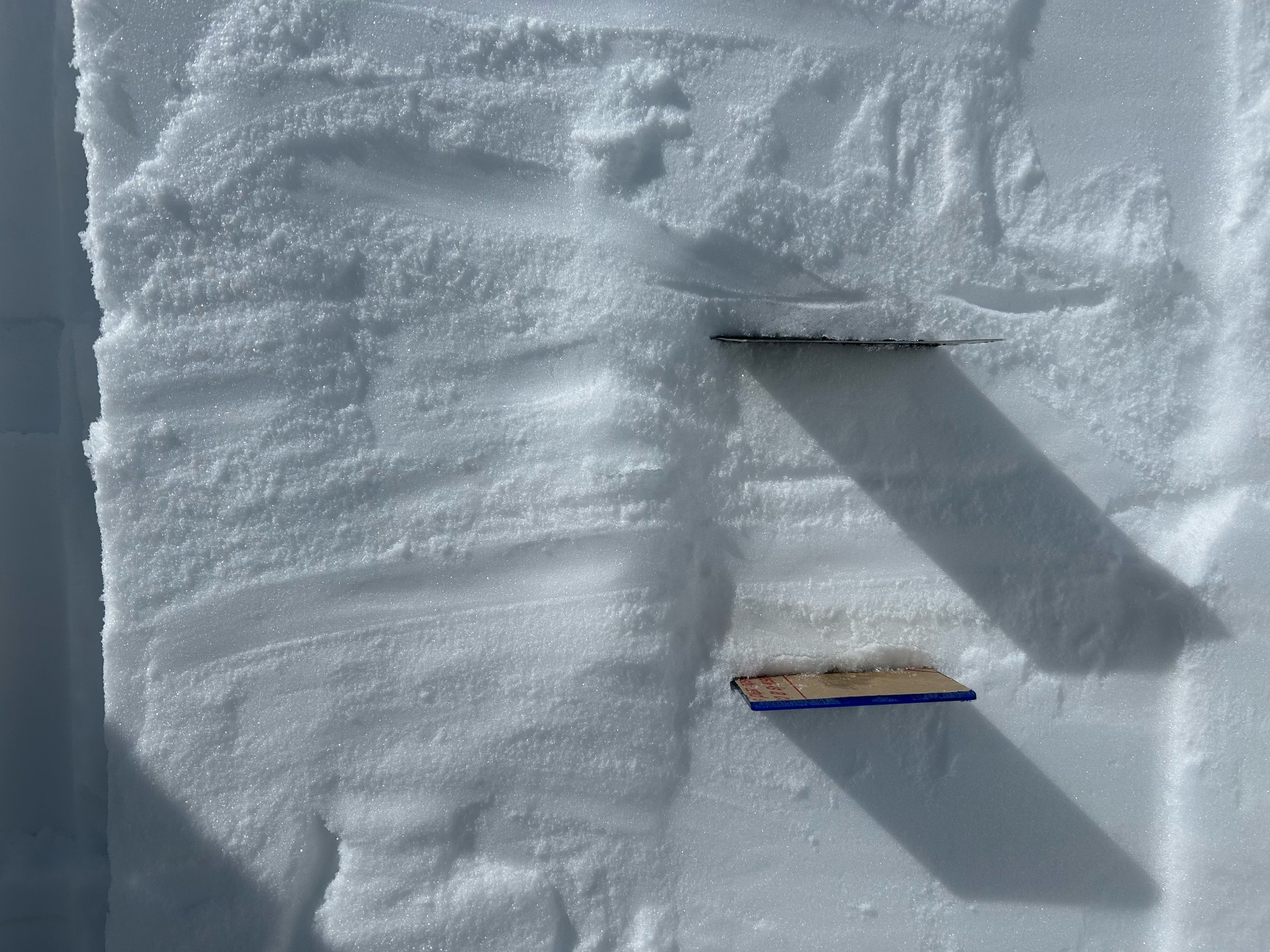
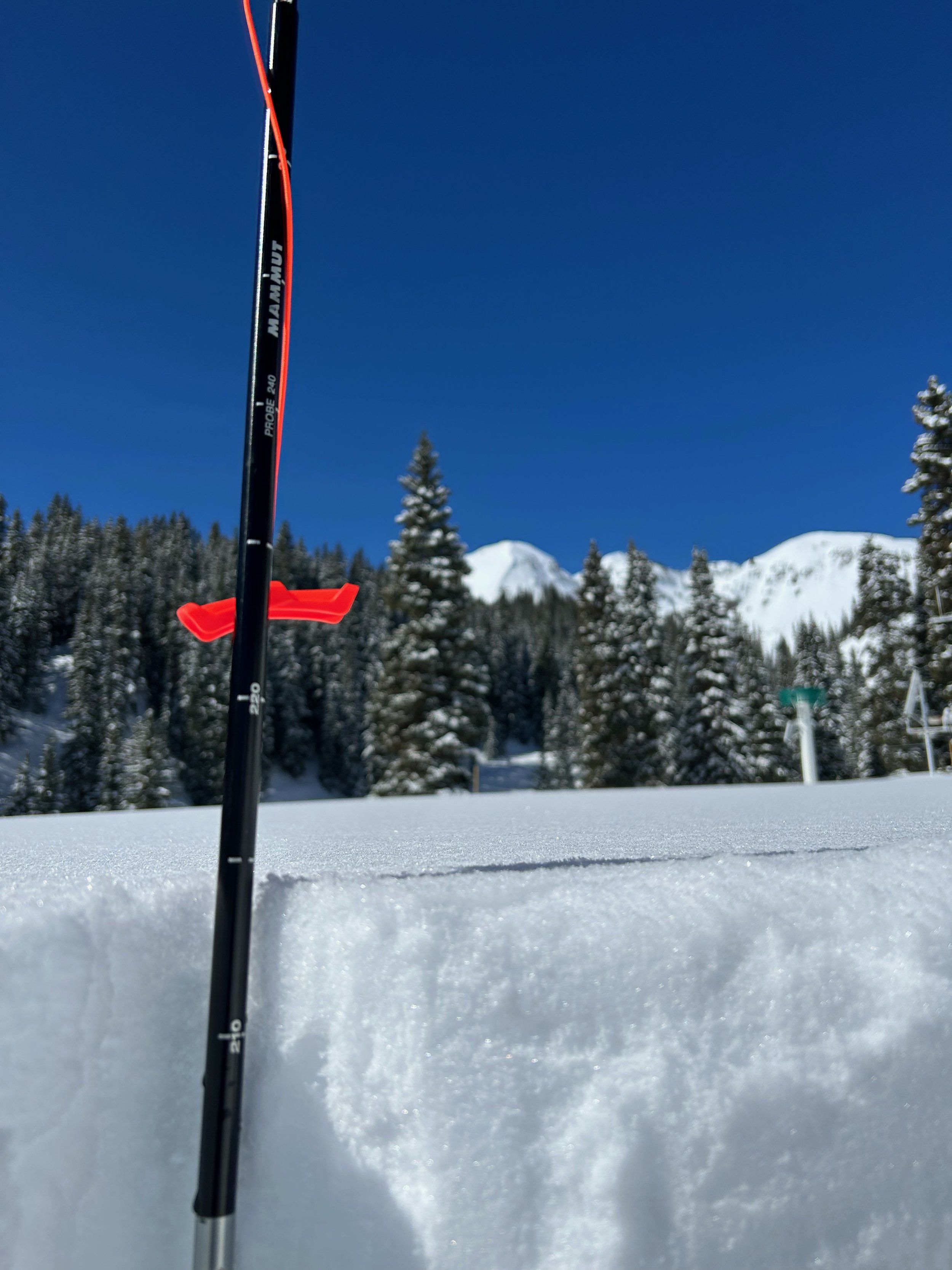
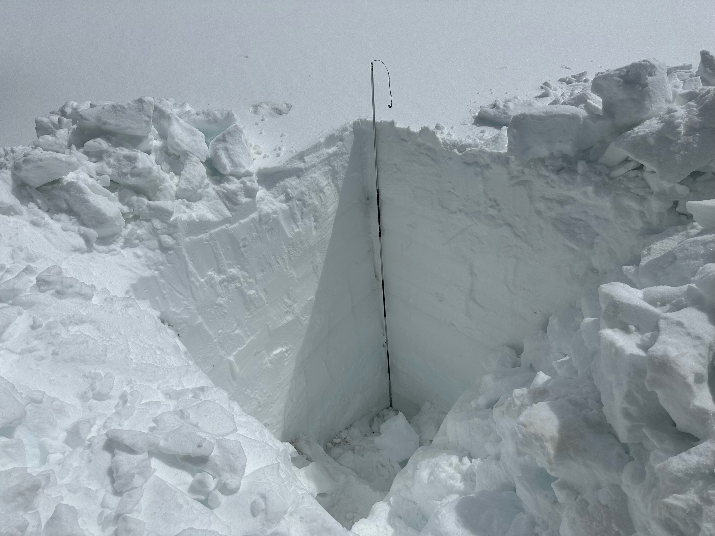
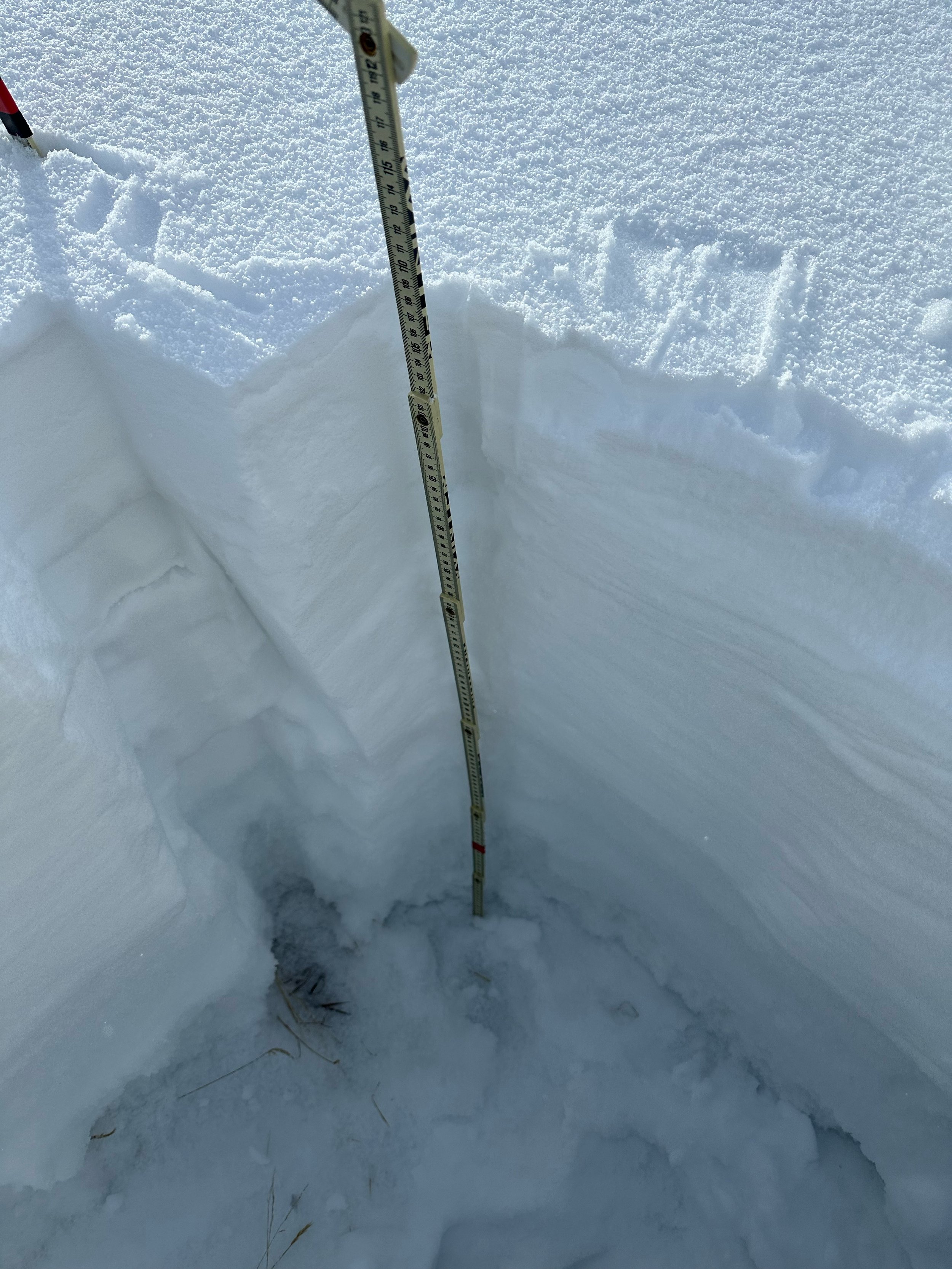
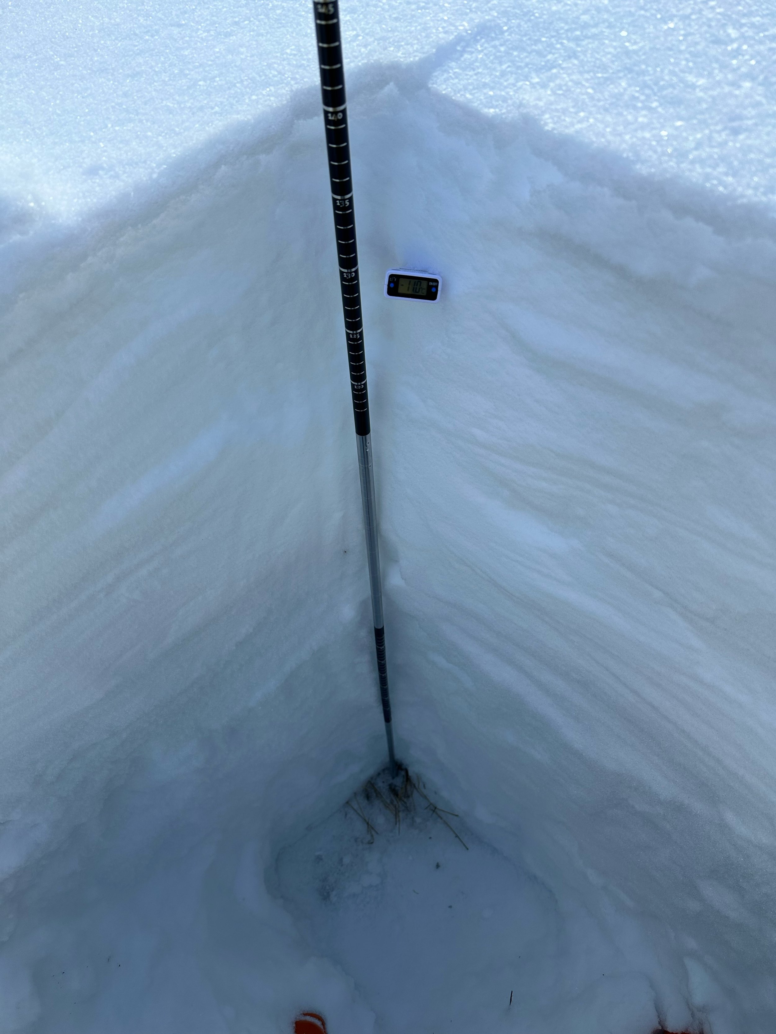
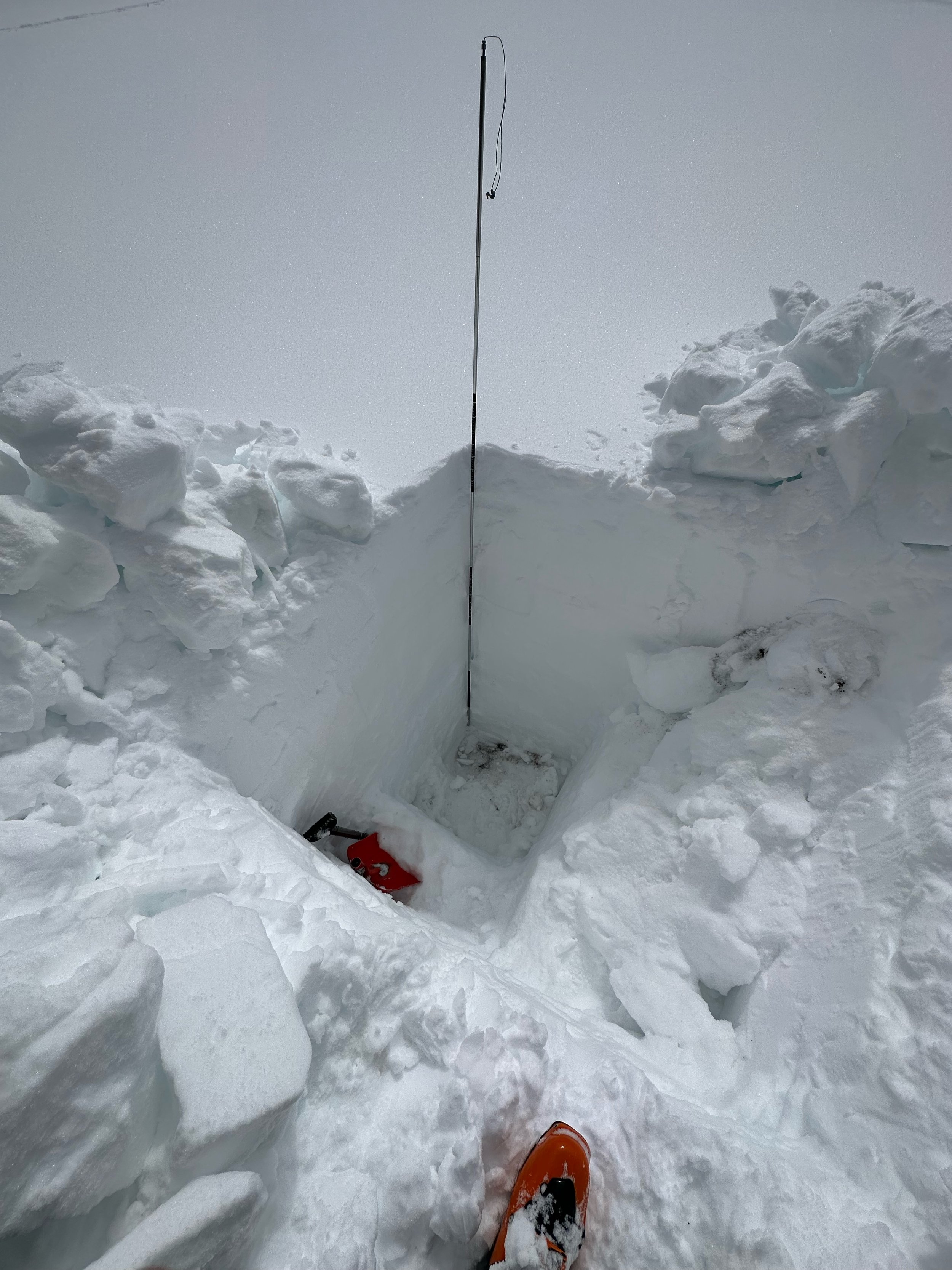
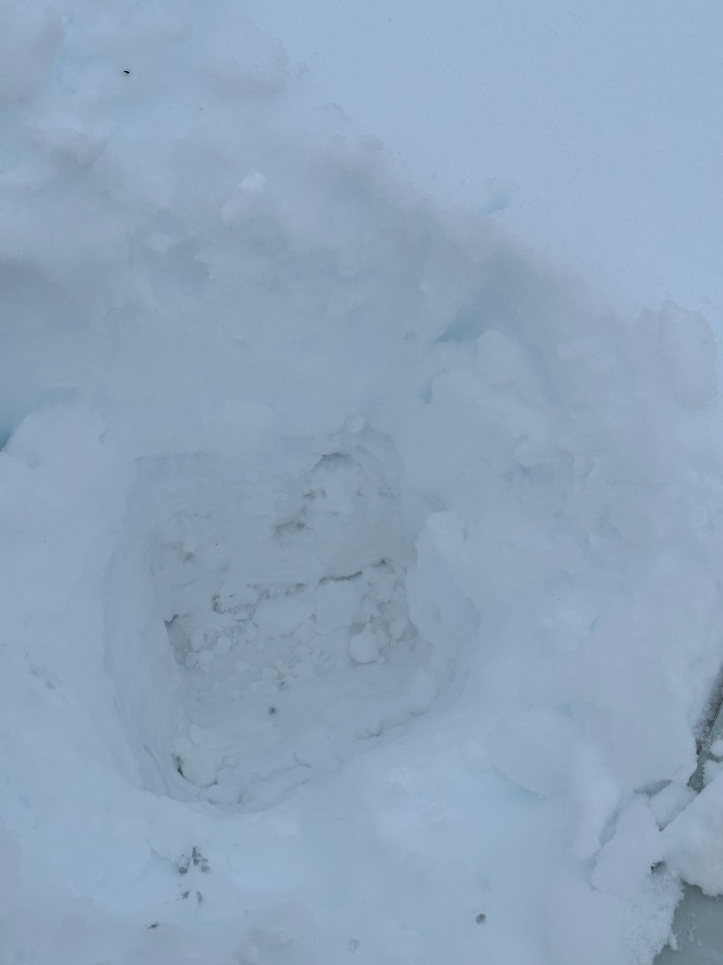
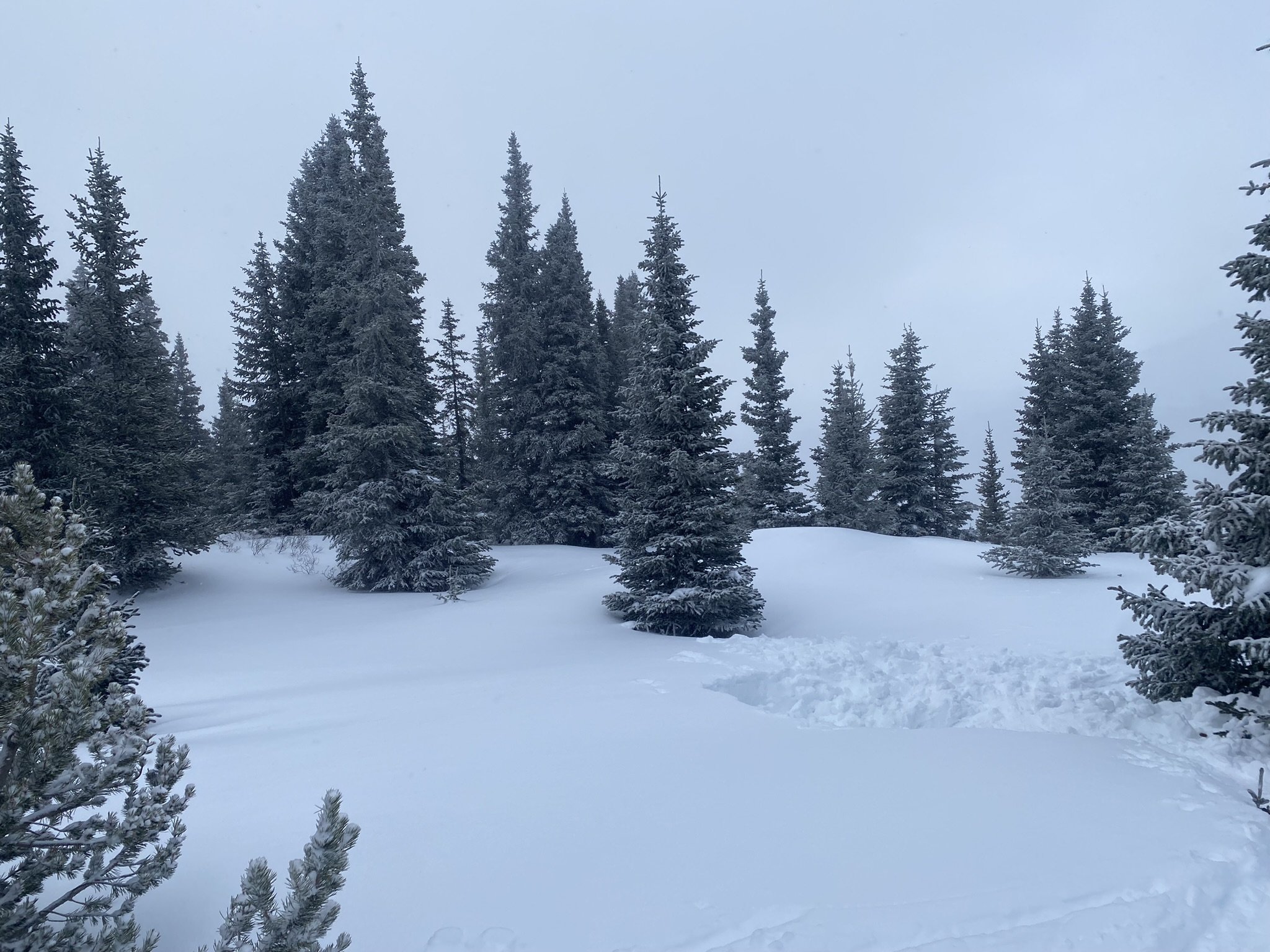
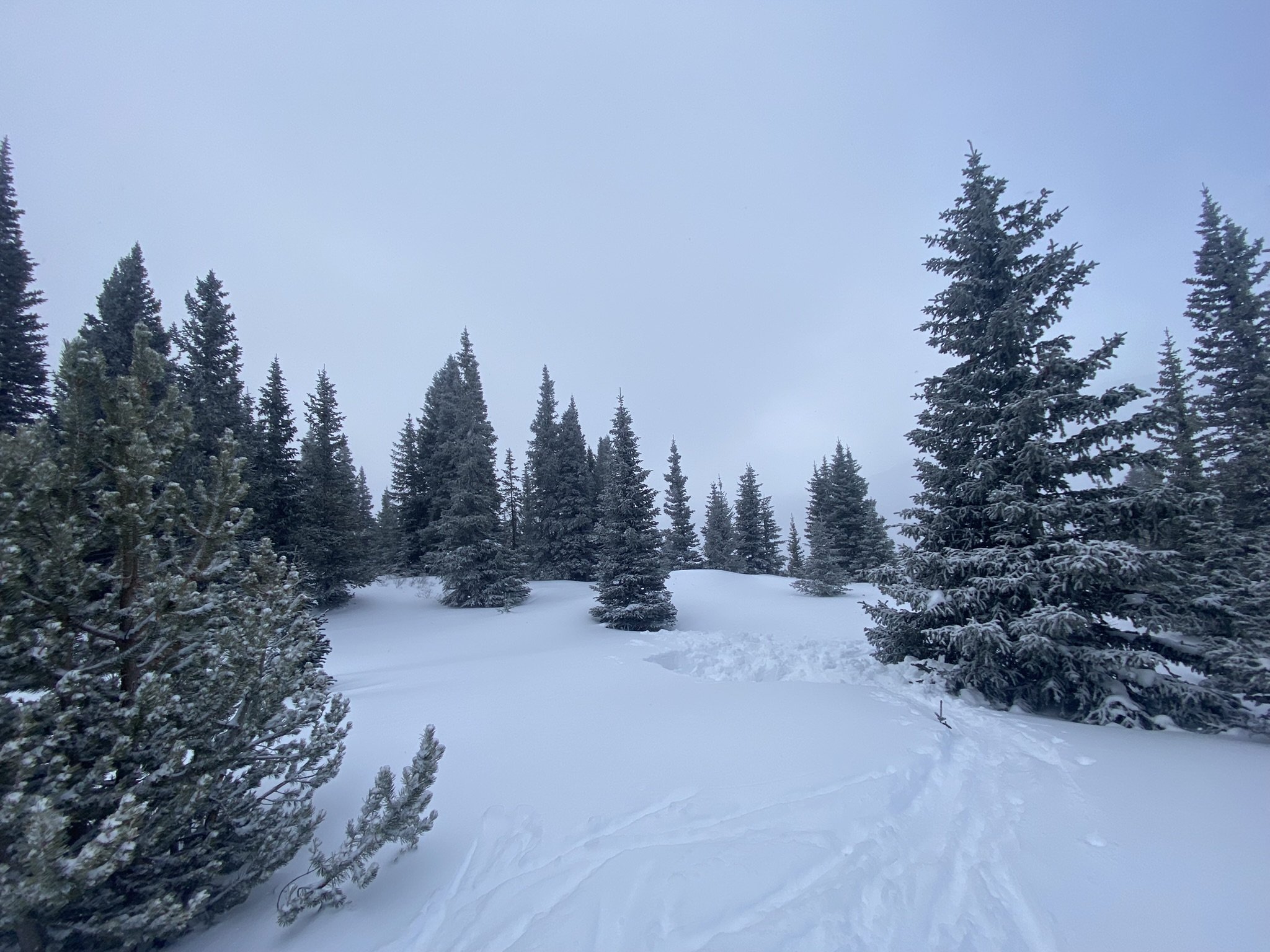
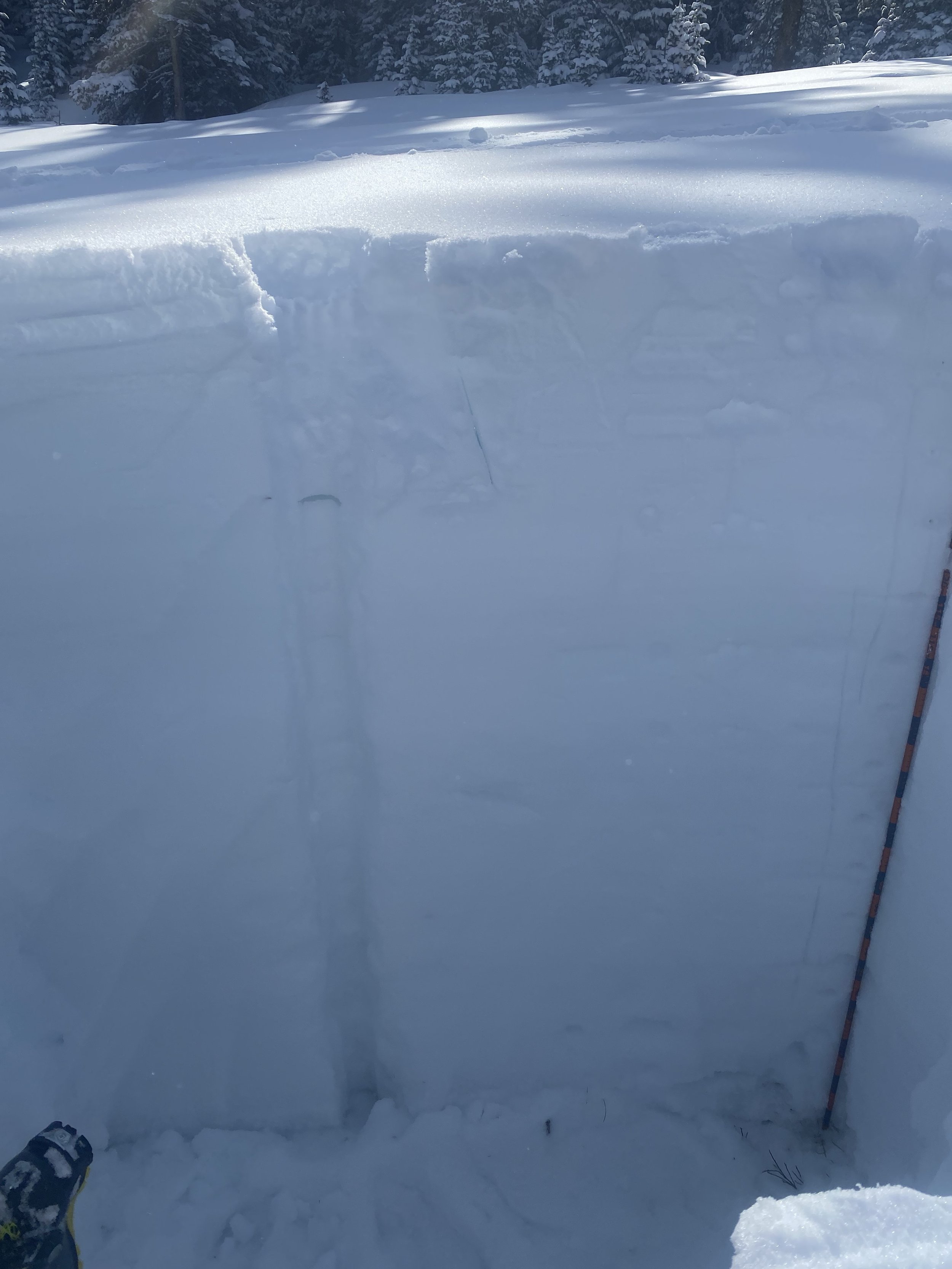
And more good news, as of right now dust-in-snow severity is “minimum” around the state of Colorado. When looking at the pictures of the snowpack below they will all seem a little boring, that’s good. If there was something to see it would mean an impurity in the snowpack. Some years, when we see active weather patterns similar to this year, the result is abundant dust deposition in the mountains, but an important factor this season is the Four Corners region has been getting at least a bit of precipitation which helps prevent dust mobilization. As mentioned in our March 1 CODOS update we saw a similar scenario in WY2017 where the first dust event occurred in March and all subsequent events were mild events - nonetheless when all the dust layers combined at surface it still had an influence on snowmelt. As it goes with assessing the influence of dust radiative forcing of the snowpack, you take it a day at a time, and as of right now conditions are looking very good.
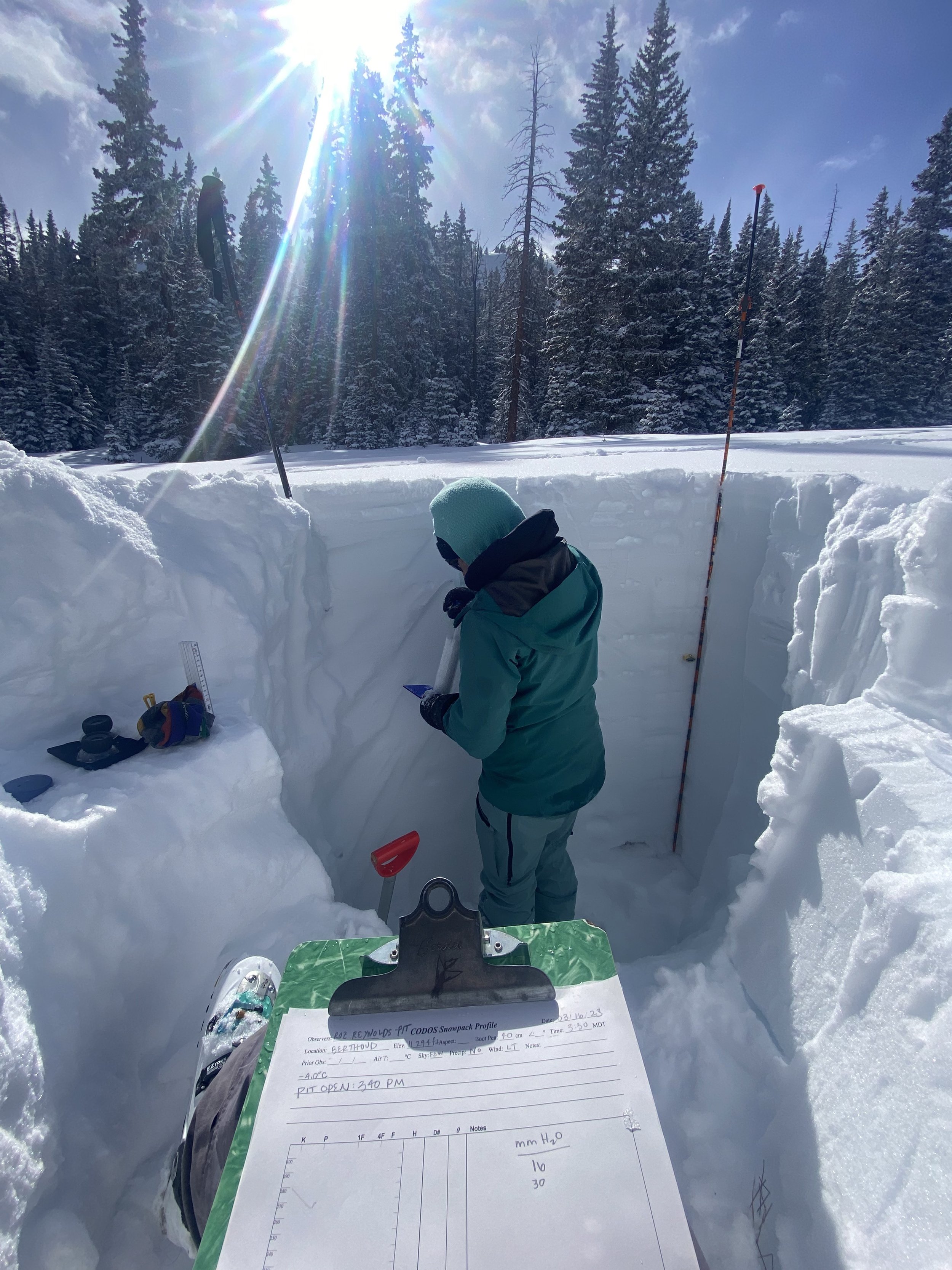
A summary for each CODOS site is below. If you want more details, please see snow profile forms here. And feel free to email or call the CSAS office with questions.
Take Care,
Jeff Derry
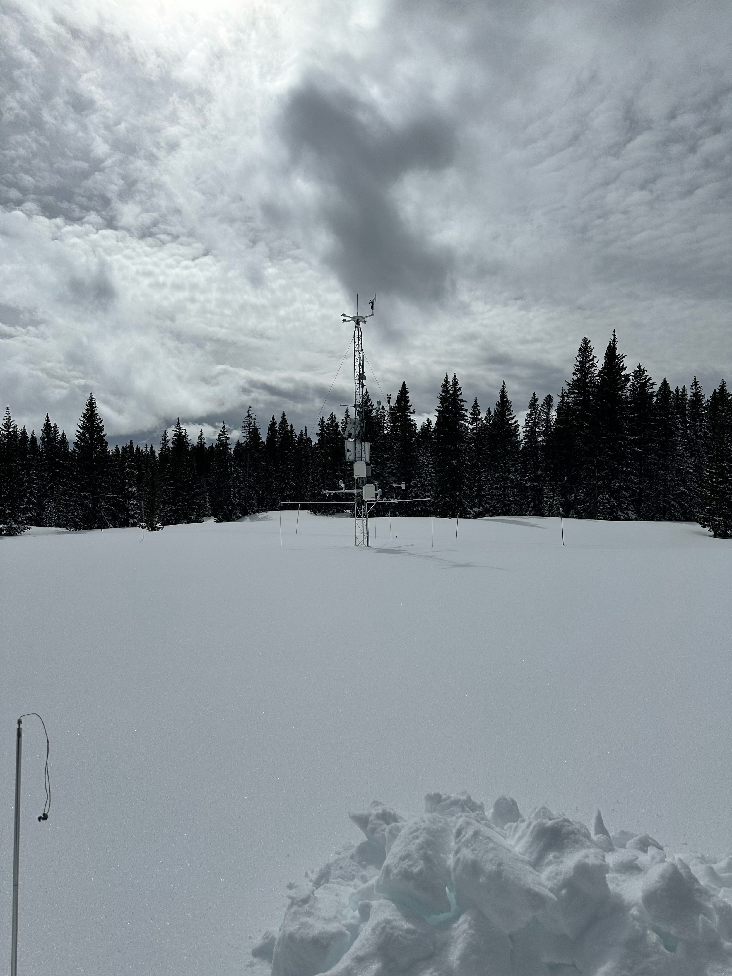
Below: Departure from normal precip for the last month. The Southern Colorado Plateau is a bit wetter than usual which helps keep a lid on dust mobilization.


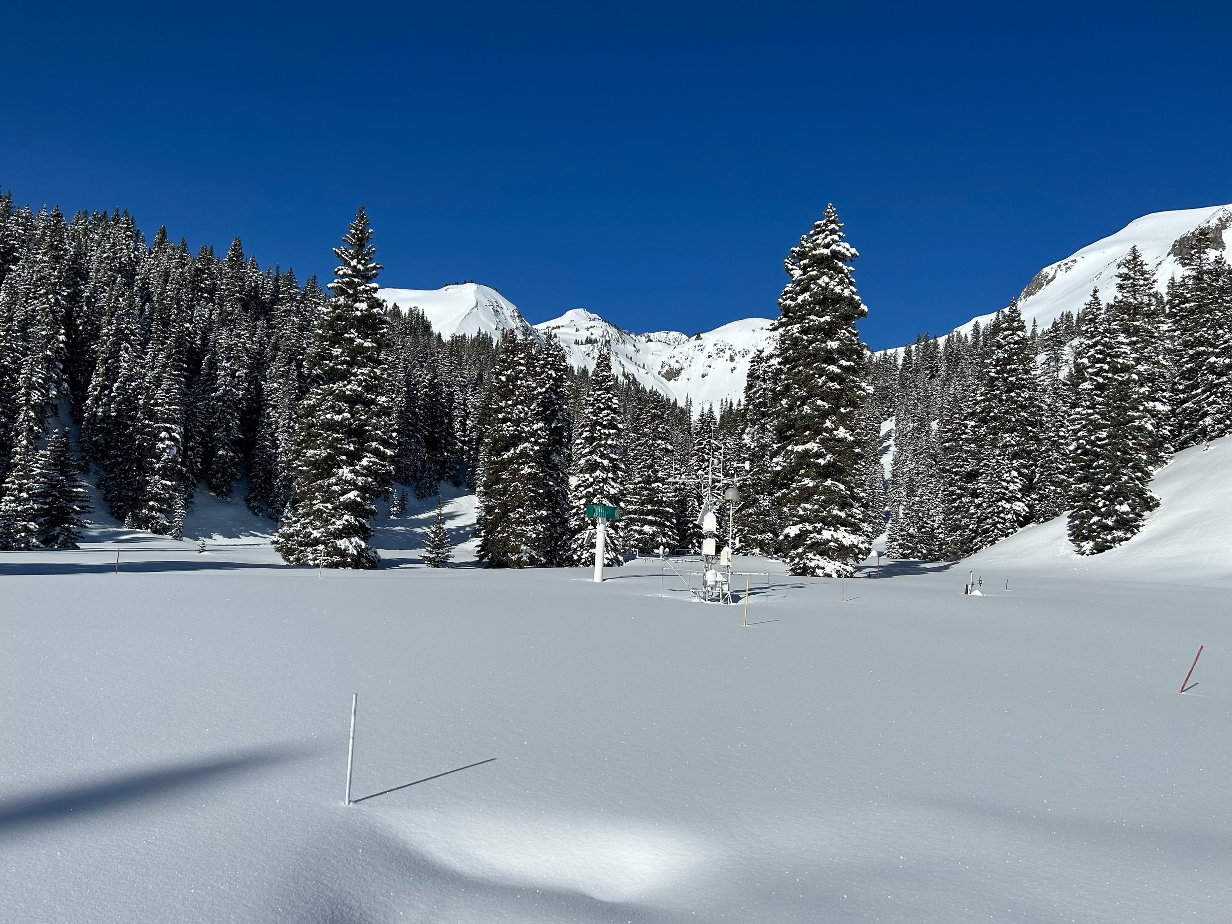
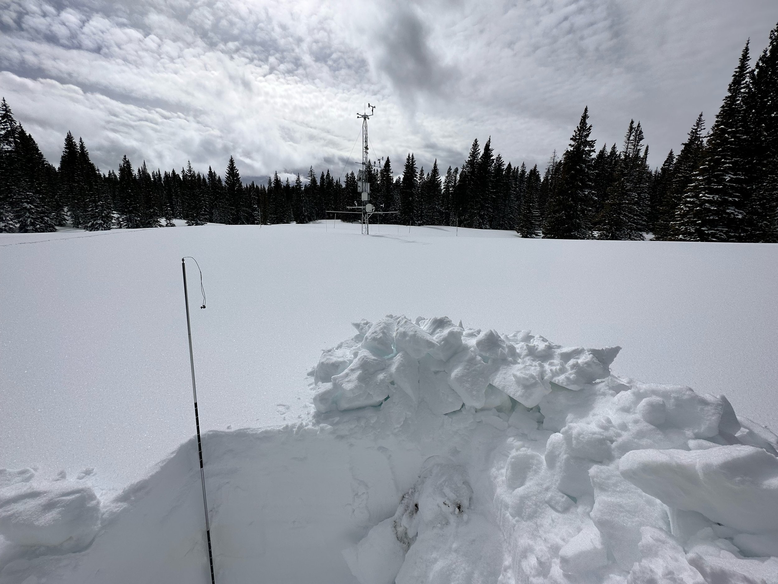
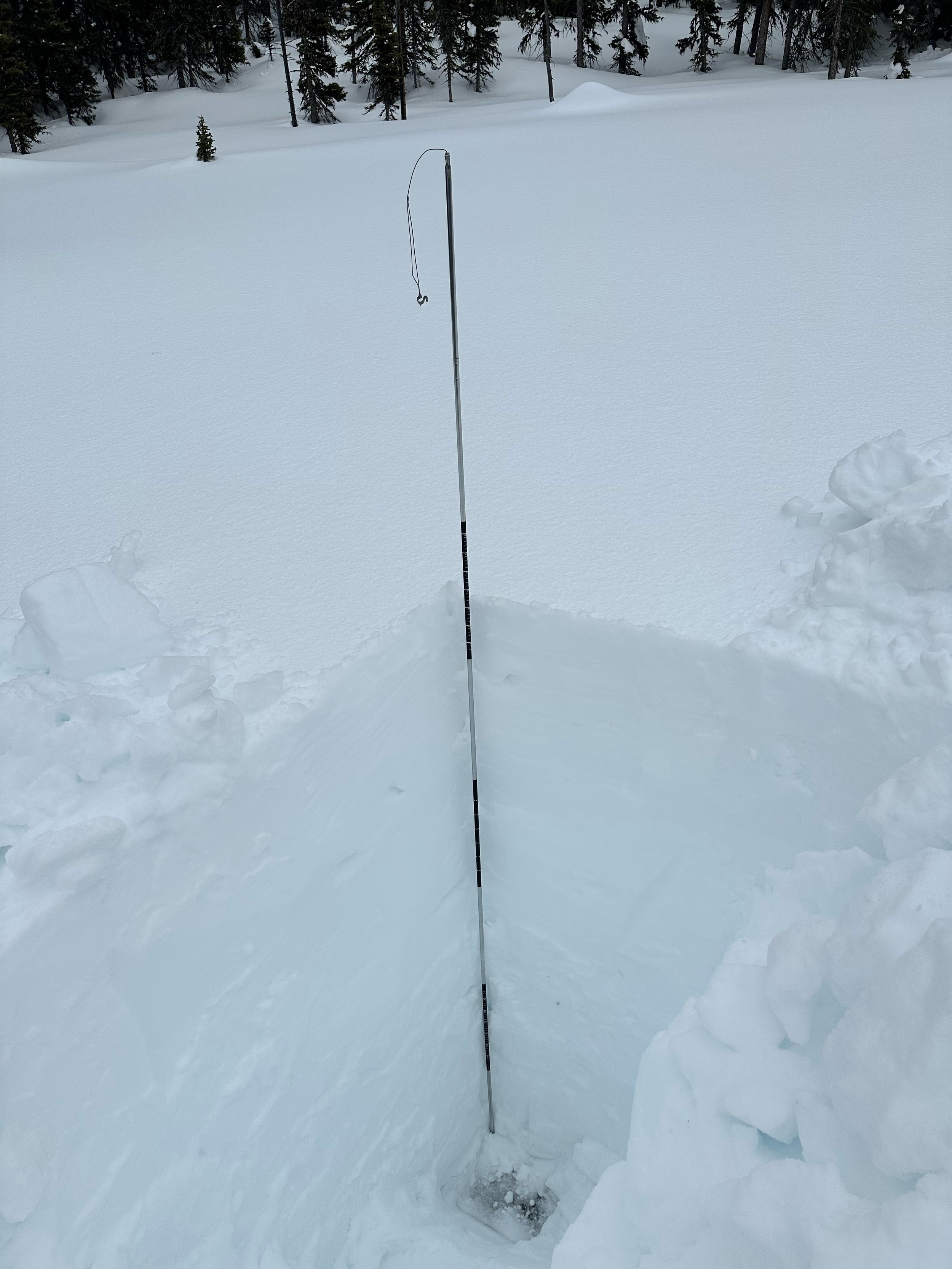
SWAMP ANGEL (Red Mt Pass): March 14
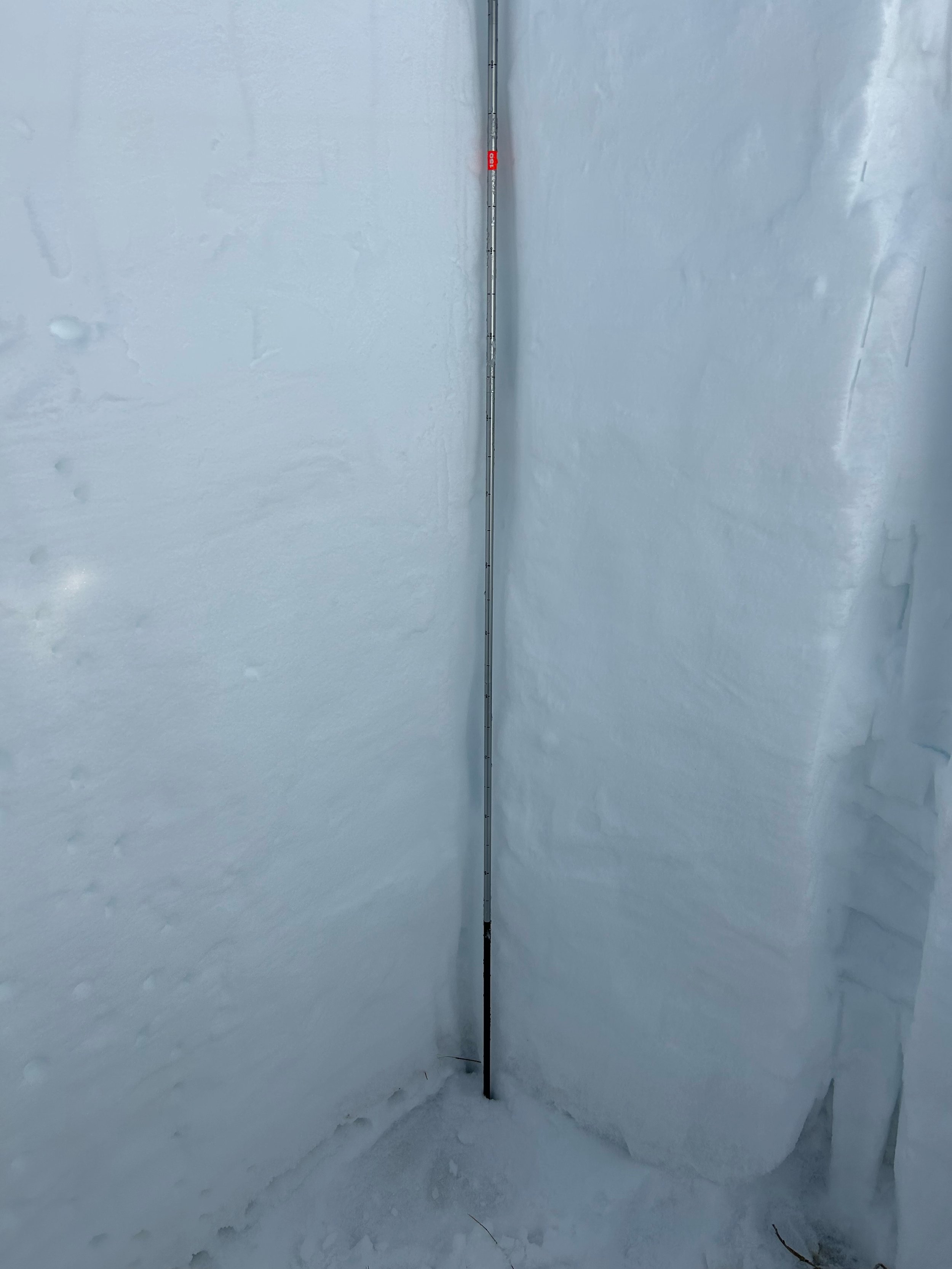
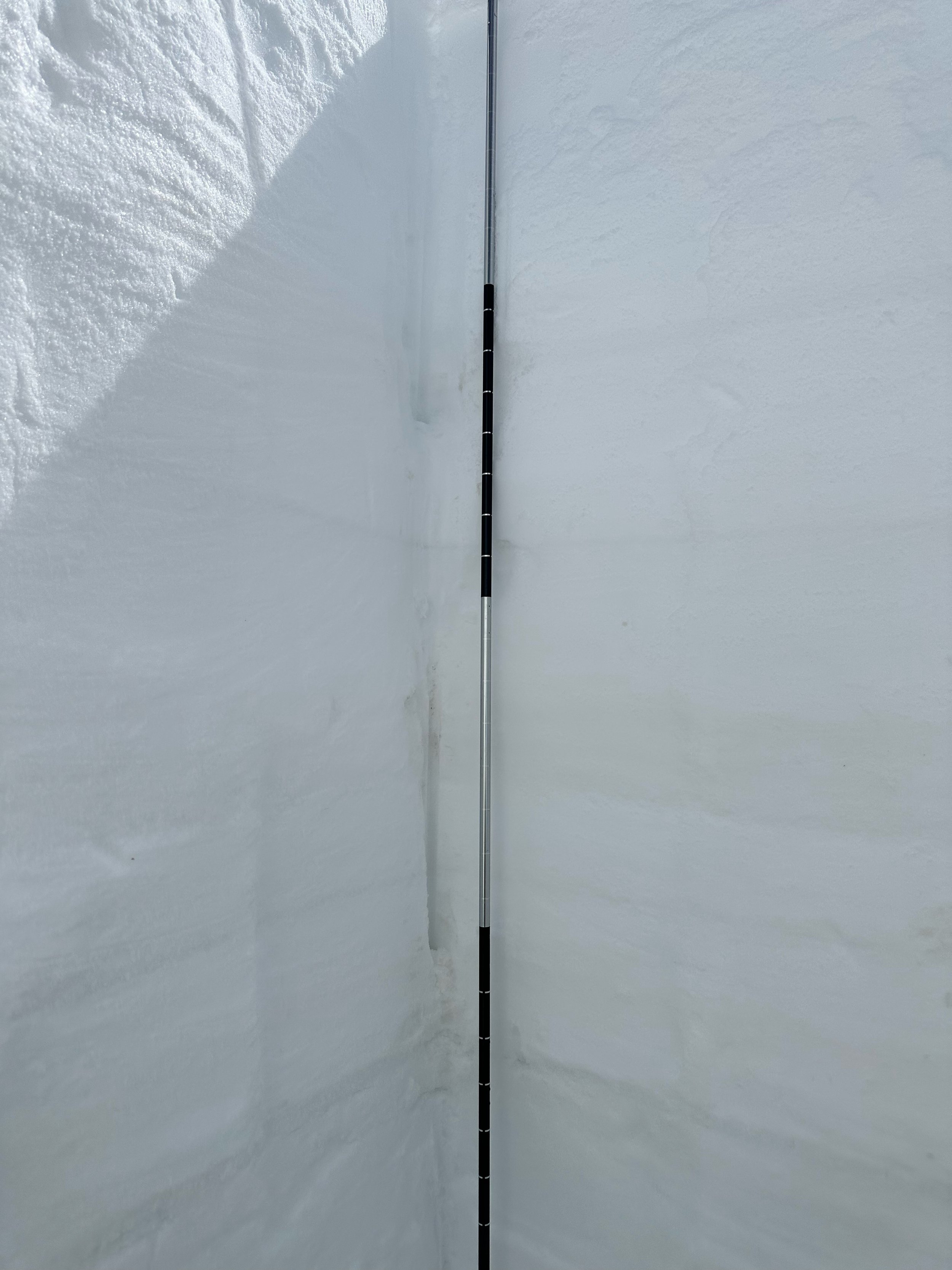
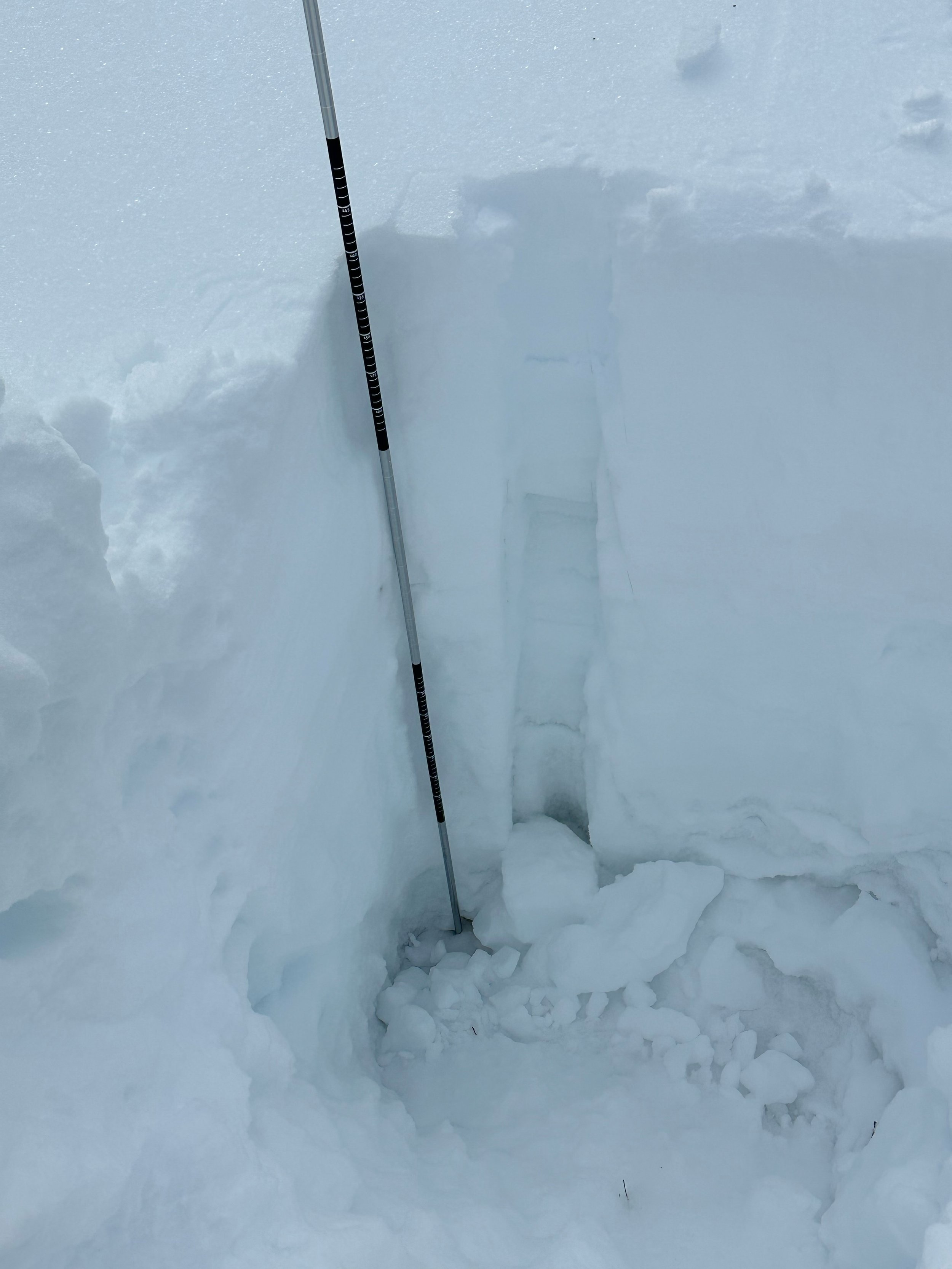
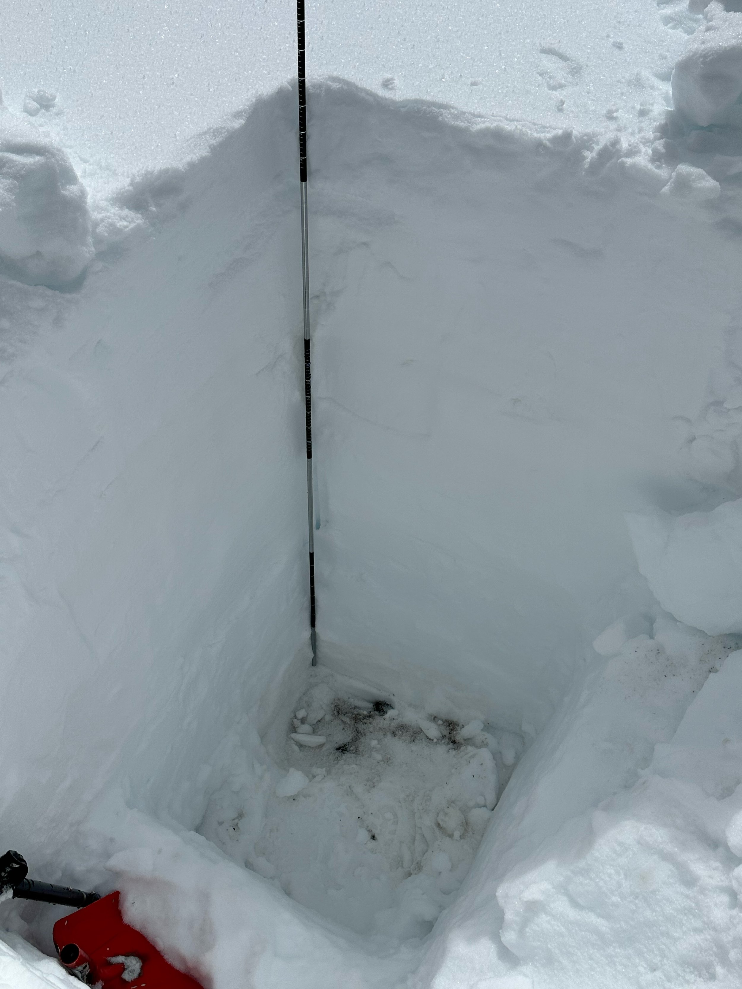
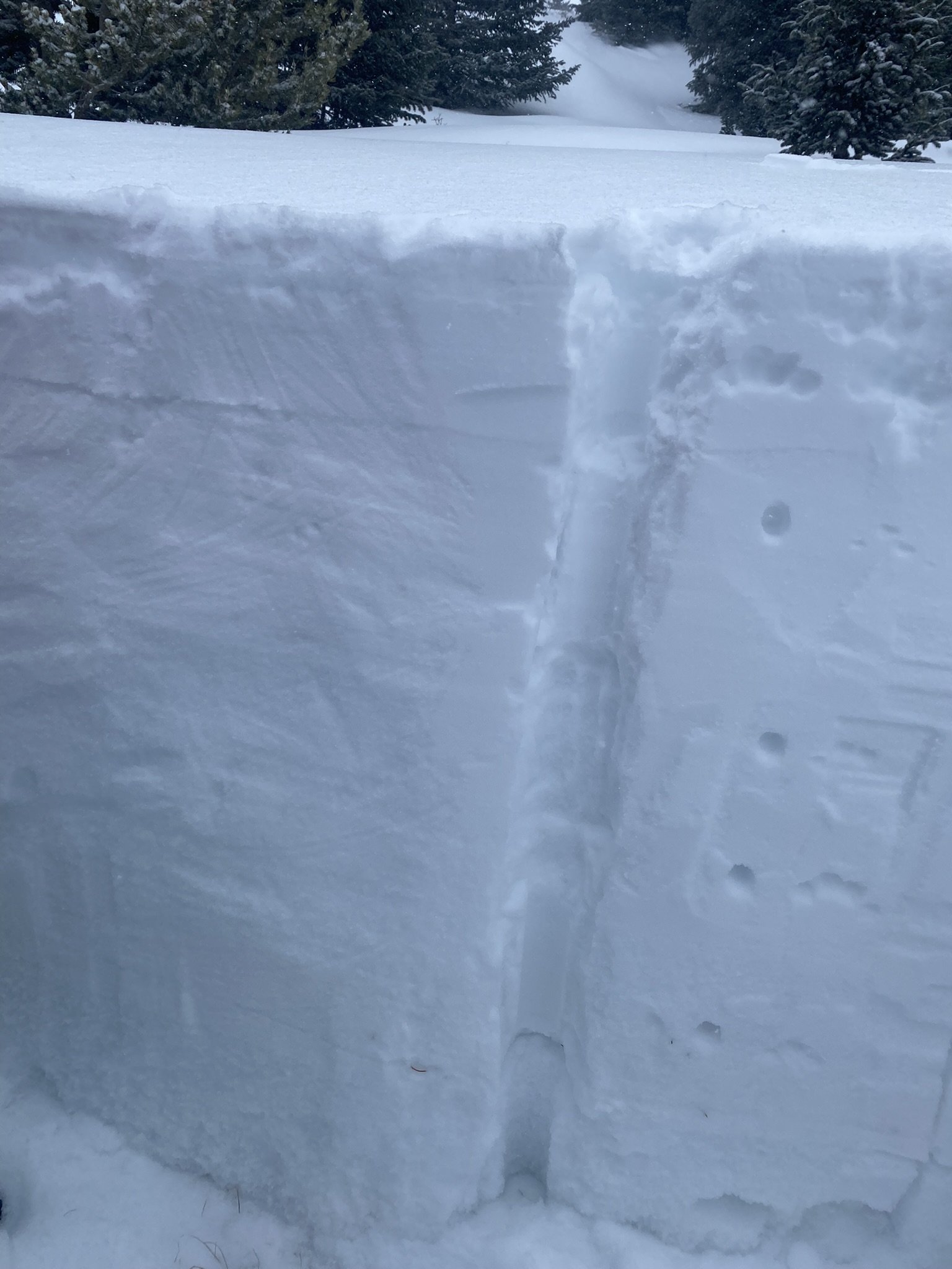
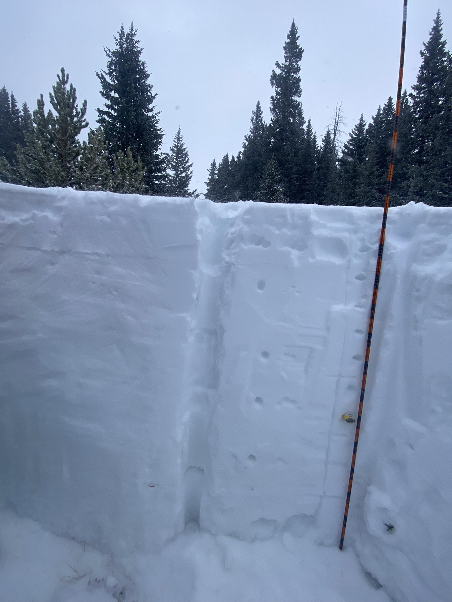
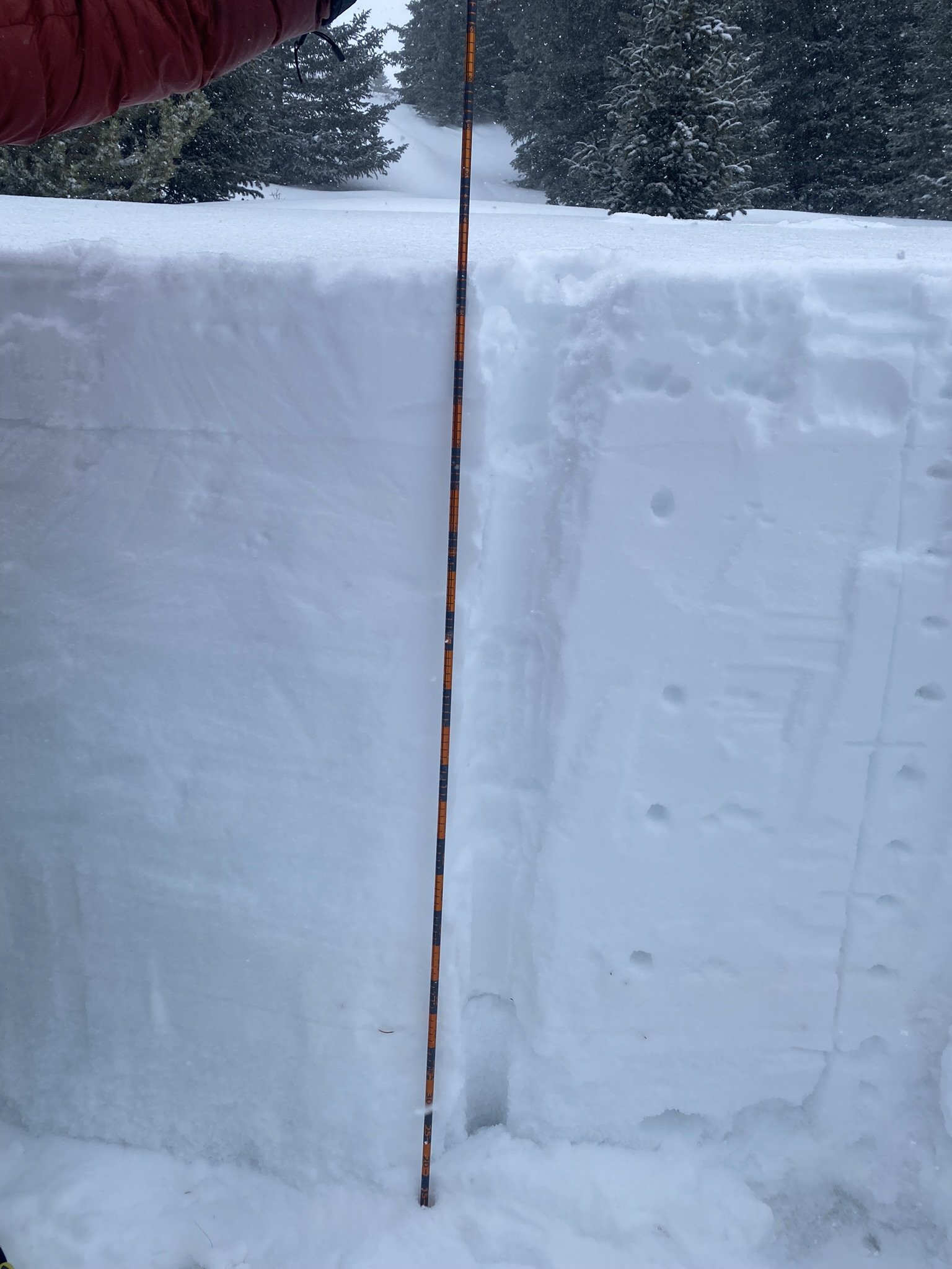
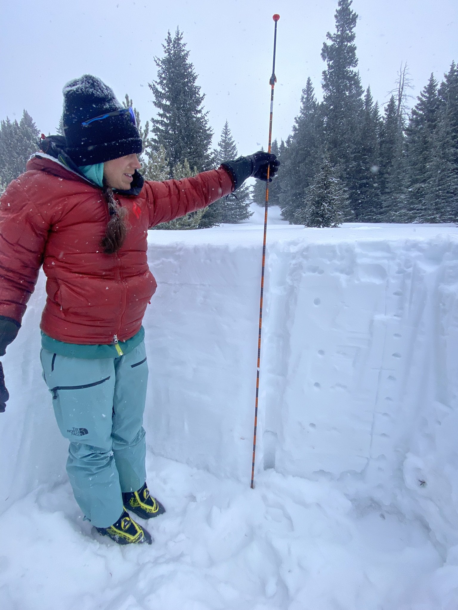
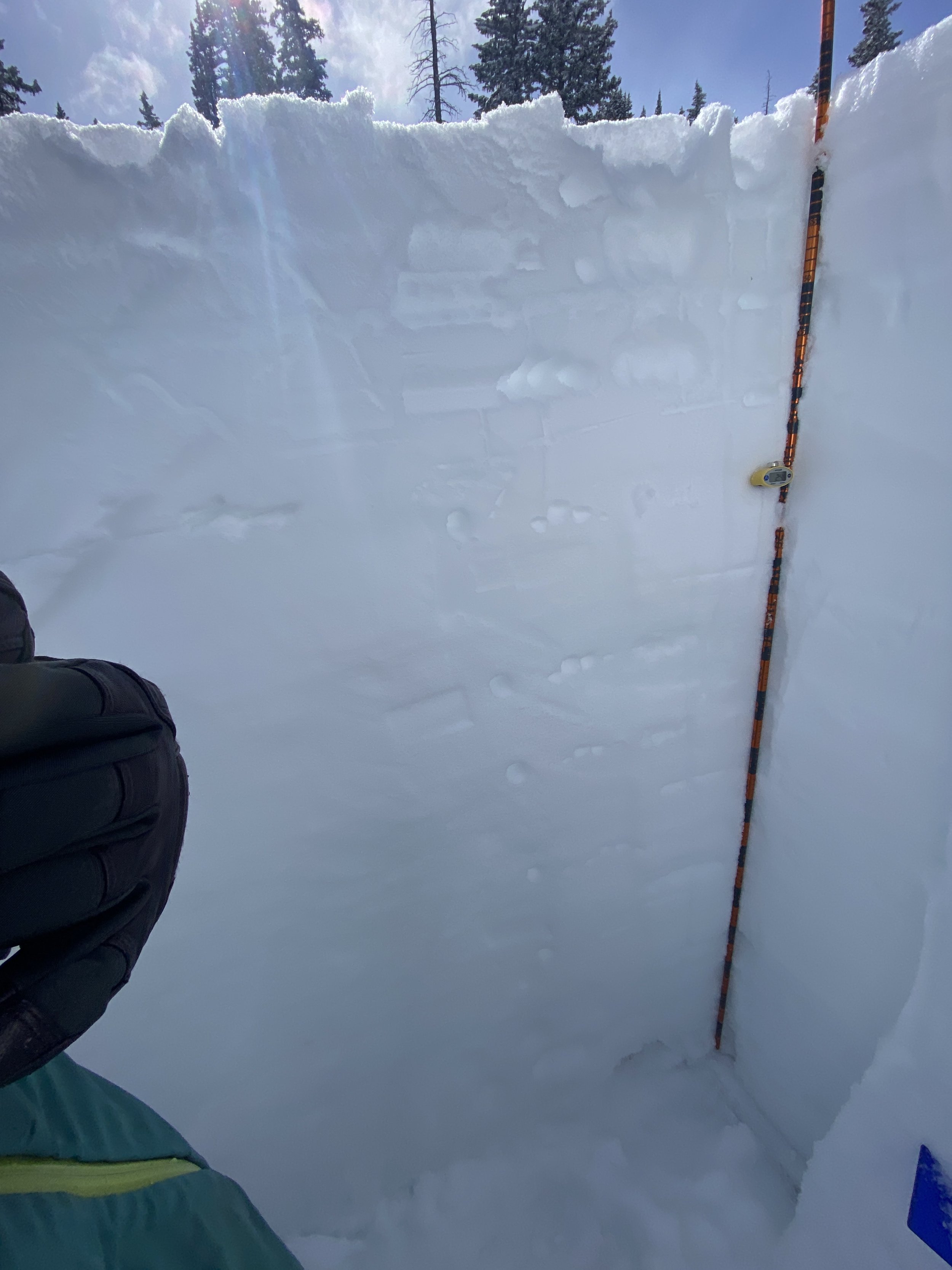
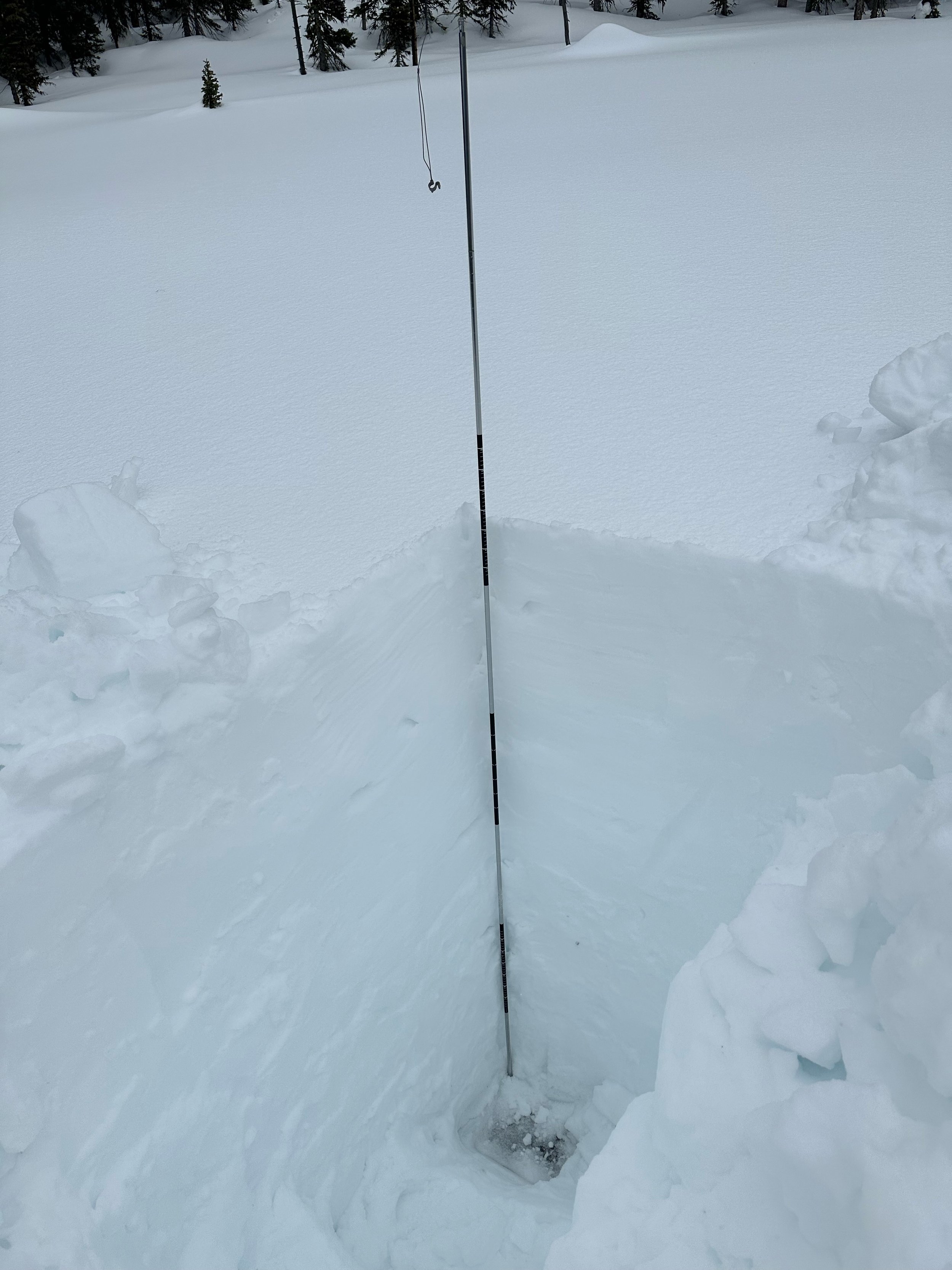
On March 14 we measured 25.8” SWE as 7’ snow depth at Swamp Angel. Nearby Red Mt SNOTEL reported 24.8” SWE. Dust events usually hit the Senator Beck Study Basin and the San Juans hard compared to other locales, so it is a good indicator of dust at its most severe and usually it is lessened the further northeast into Colorado you go. At the Swamp Angel site there are two mild dust layers in the snowpack, one about 1.5’ beneath surface and the other 2.0’.
Fortunatly, so far this year the story is more about the plentiful snow accumulation.
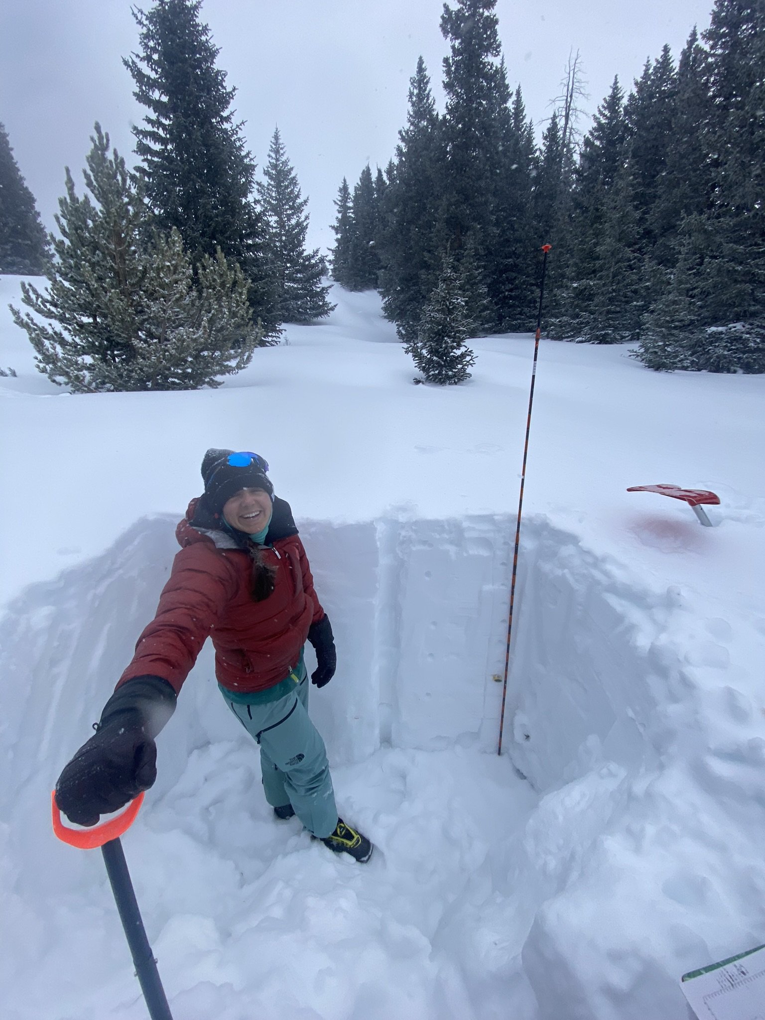
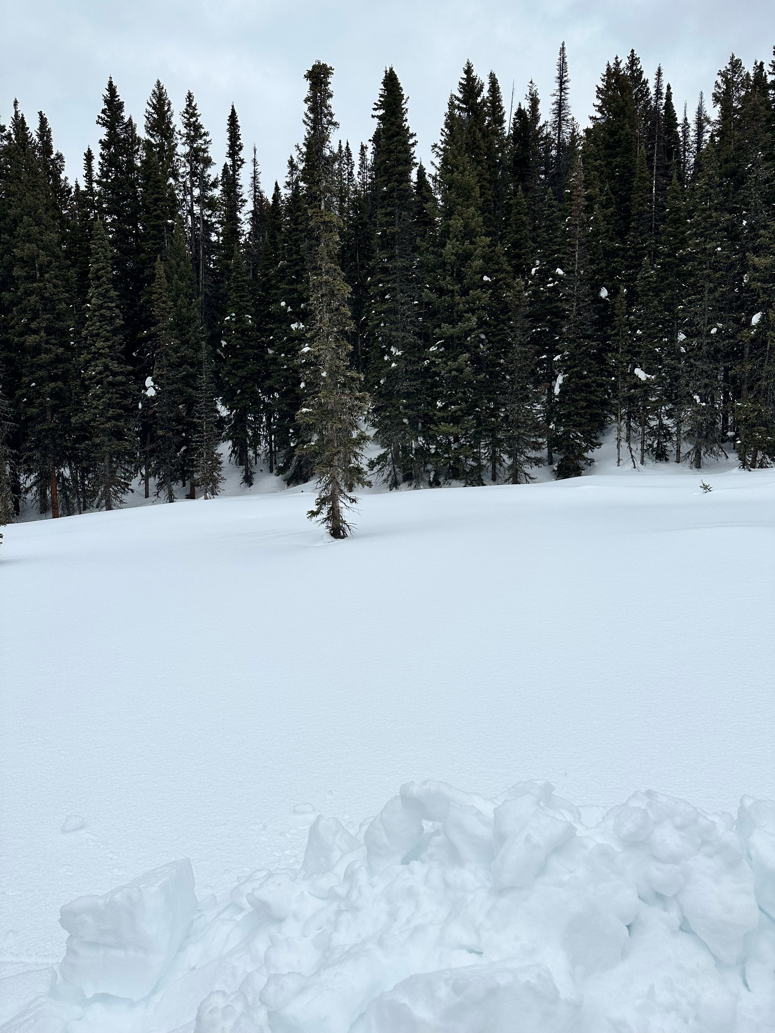
WOLF CREEK PASS: March 13
Wolf Creek has three mild dust layers in the snowpack. The snow was deep, 2.6 meters. Dust was located about 1’ below and 2.75’ below surface. There may be additional light dust on one or two old buried surfaces, but if so it is minimal.
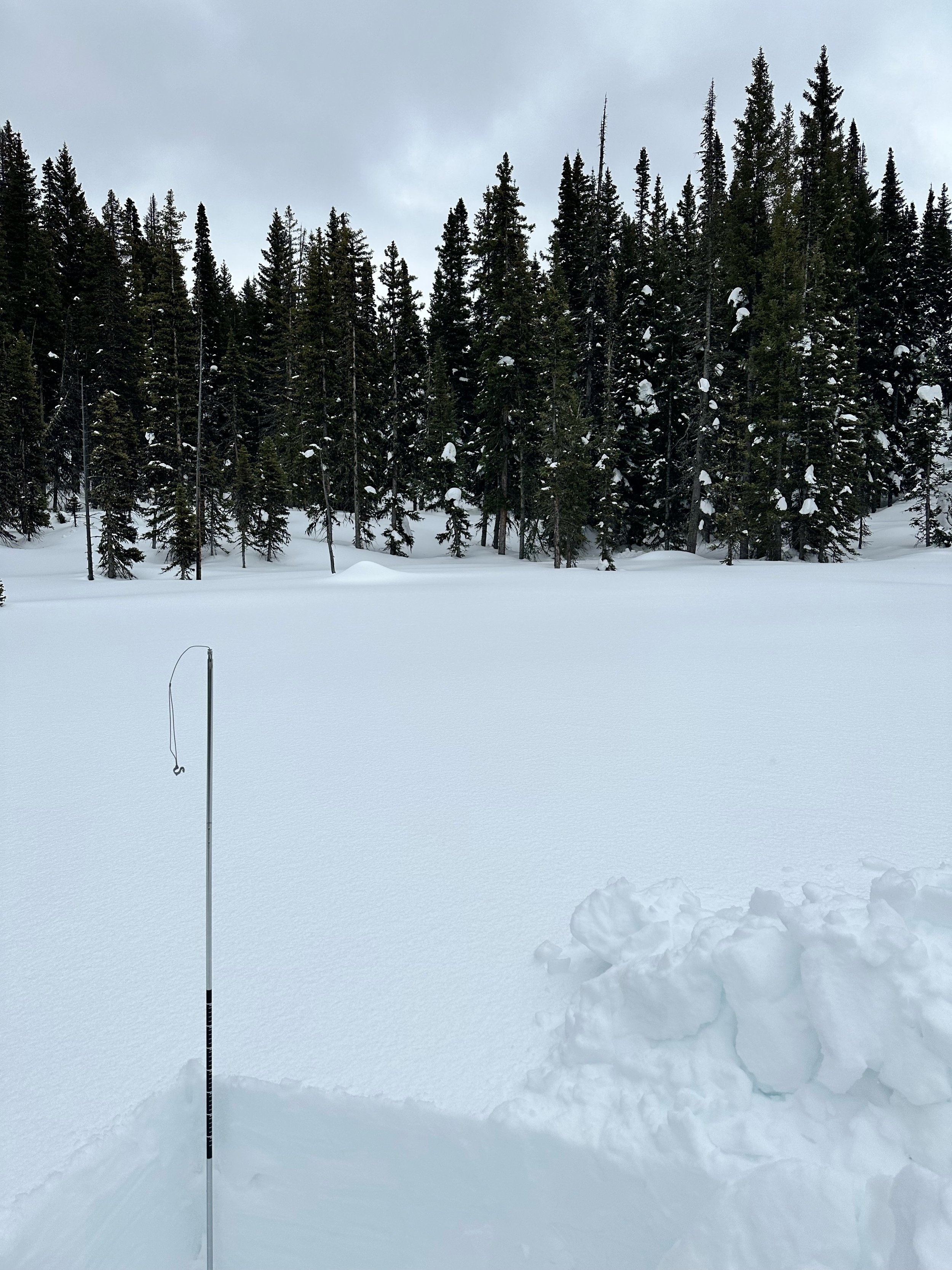
SPRING CREEK PASS: March 13
Spring Creek has 3.5’ snow depth with 9.1” of SWE. There are no obvious dust layers. There is good snow cover in this region as well.
PARK CONE: March 14
For Park Cone, snow depth is deep at 4.6’! SWE is 12.4”. SWE at Park Cone SNOTEL was 12.3”. Snow cover in the region is plentiful.
GRAND MESA: March 14
Grand Mesa has a 6.8’ deep snowpack as 24.5” SWE. A mild dust layer exists about 2’ under surface.
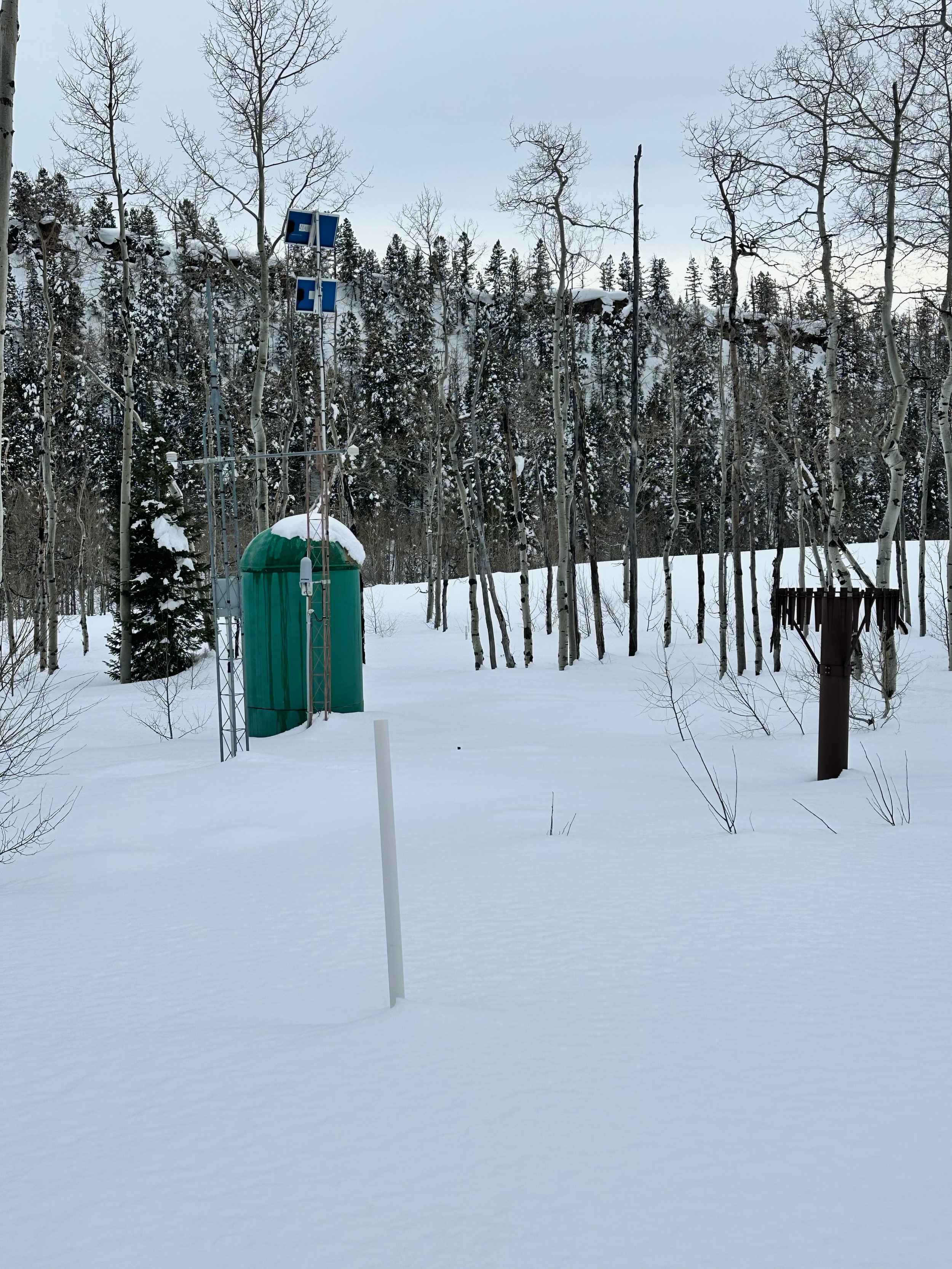
McCLURE PASS: March 14
Amazing, McClure is sitting at a 6.2’ snow depth. Typically in a good year doing a pit at McClure involves digging ~3’, this year is way gooder. The mild dust layer we have been seeing in the San Juans is a couple feet below the snow surface at McClure. We did not collect SWE measurements at McClure as we arrived near nightfall, late because the day’s previous pits were so massive it put us behind schedule. The adjacent SNOTEL reported 23.6” SWE.
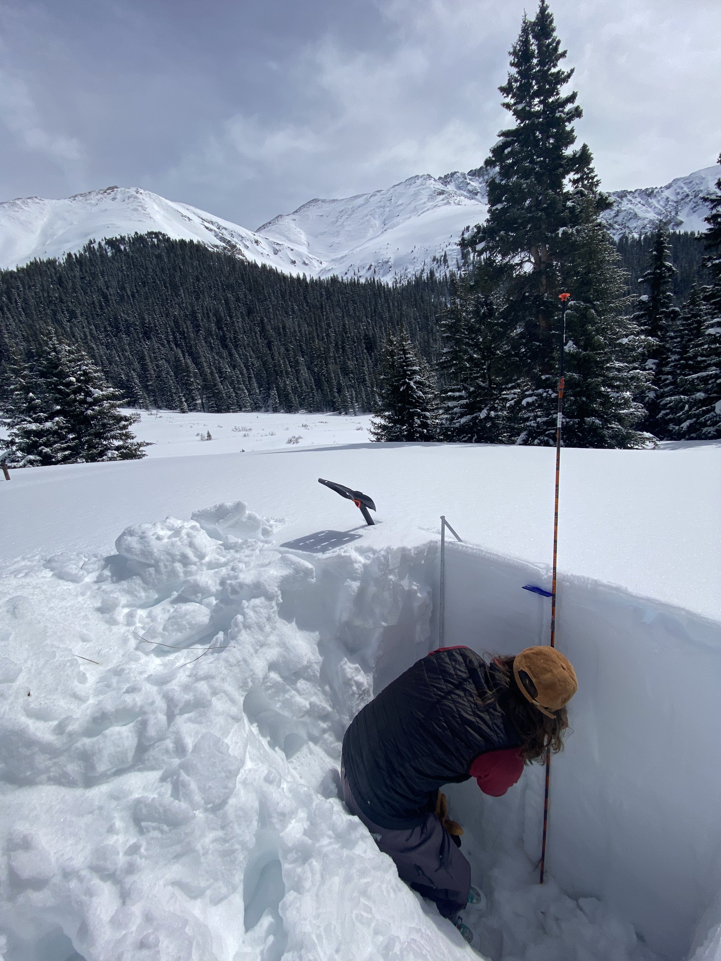
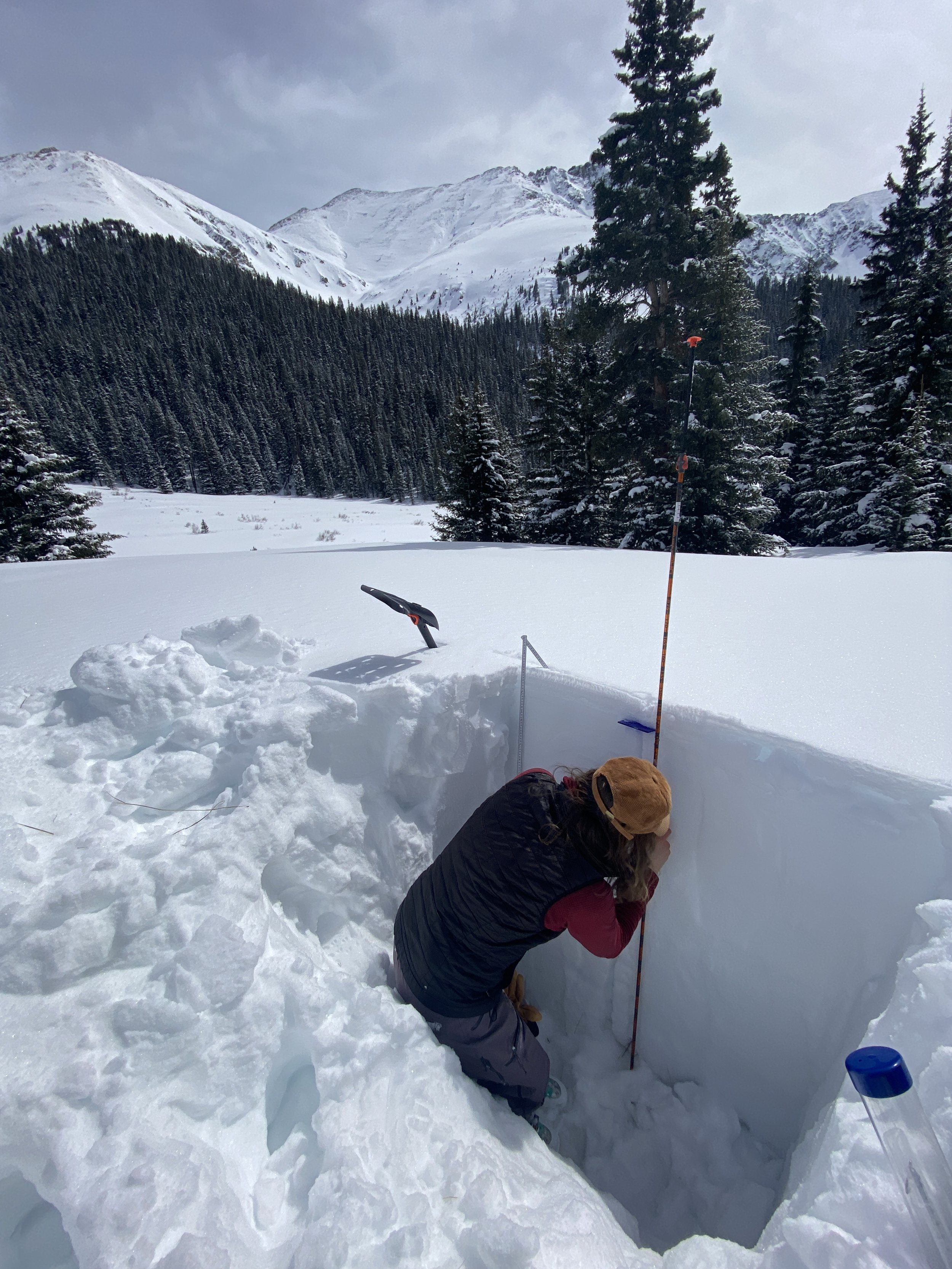
HOOSIER PASS: March 16
Snow depth was 4.7’, not as deep as we were expecting, but it makes sense since the Arkansas headwaters are below average. SWE was 14.8”. Dust was not apparent in the snowpack.
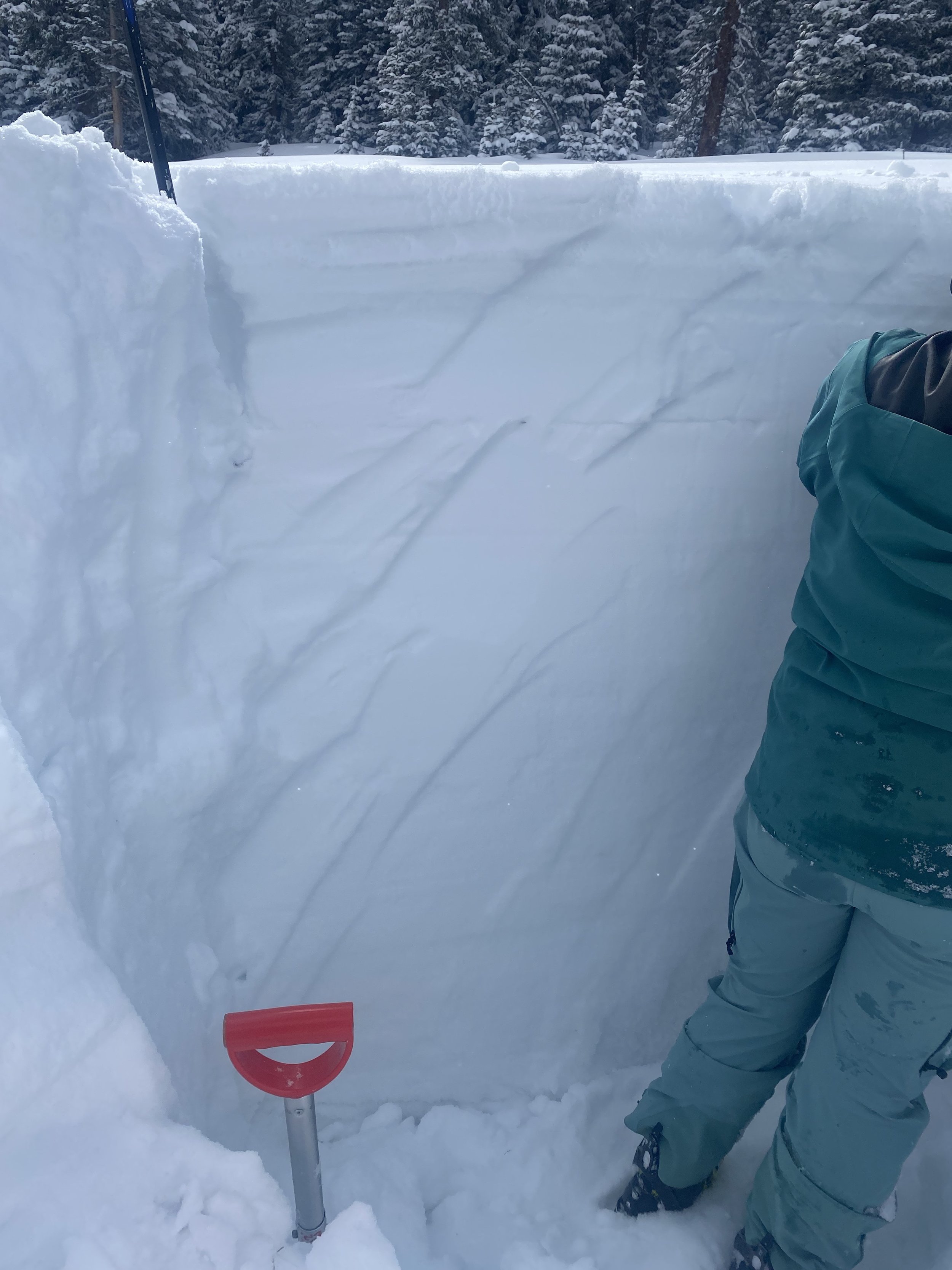
Berthoud PASS: March 16
Berthoud had 5.5’ snow depth and 15” SWE. A few feet away the SNOTEL was reported 52” depth and 13.5” SWE. No dust was observed here or in the general vicinity.
Loveland PASS: March 16
We measured 55” snow depth as 13.5” SWE at the Loveland site. Nearby Grizzly SNOTEL reported 50” depth and 13.4” of SWE. No dust was observed in the snow profile.
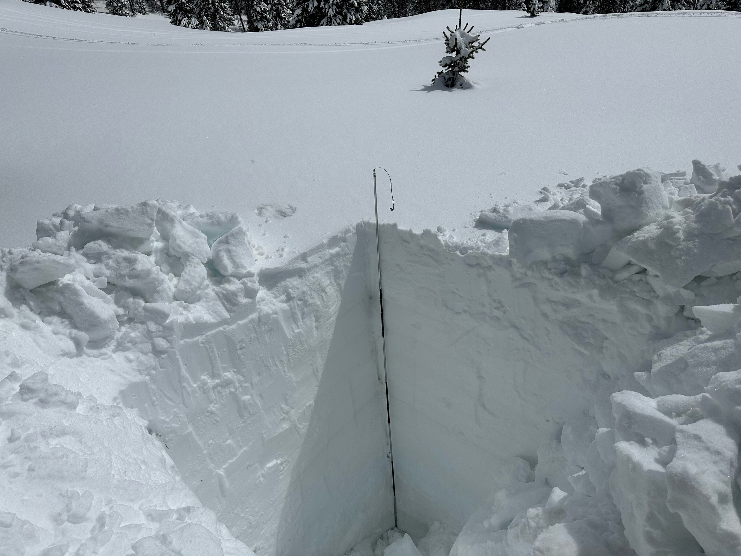
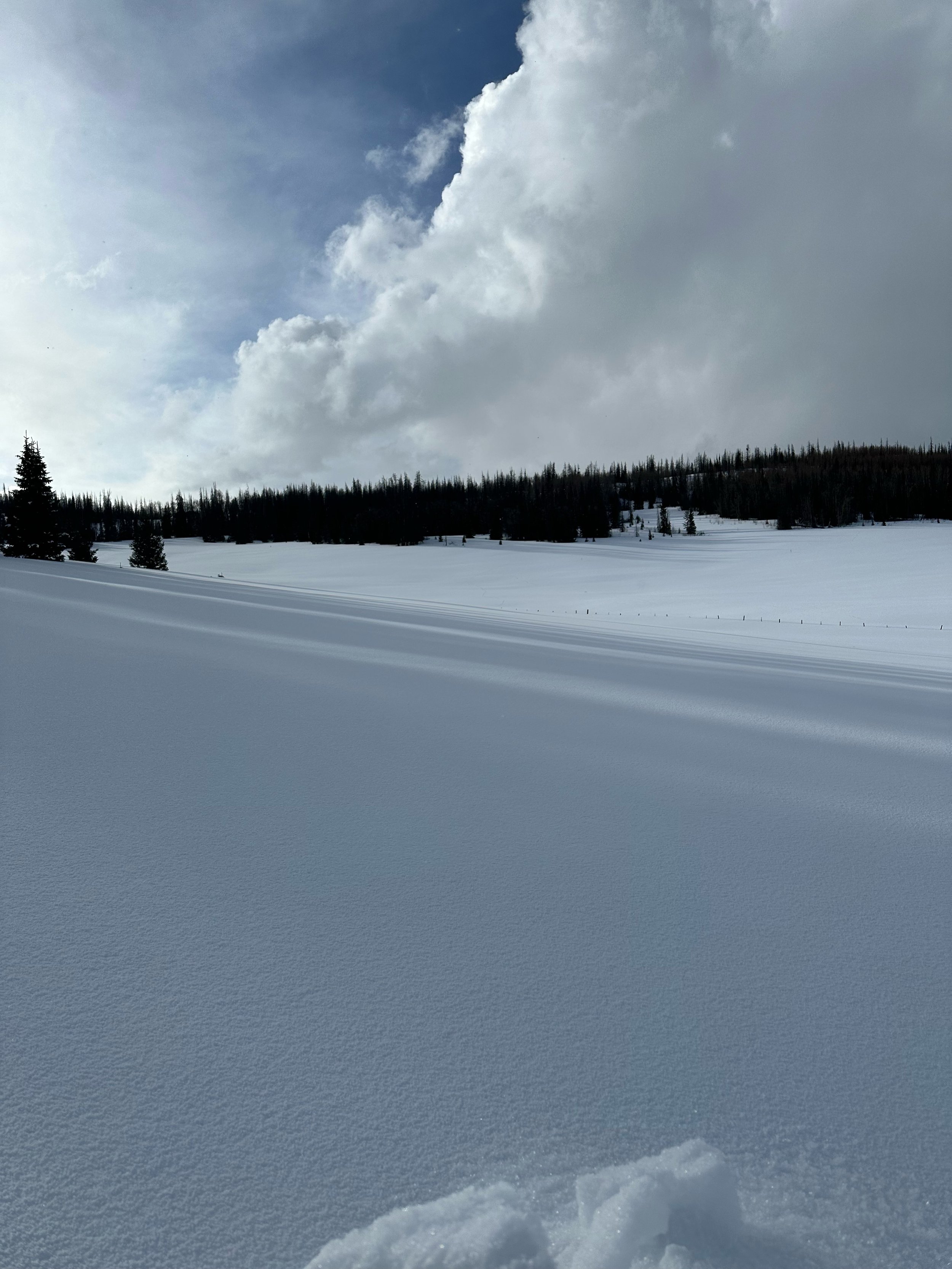
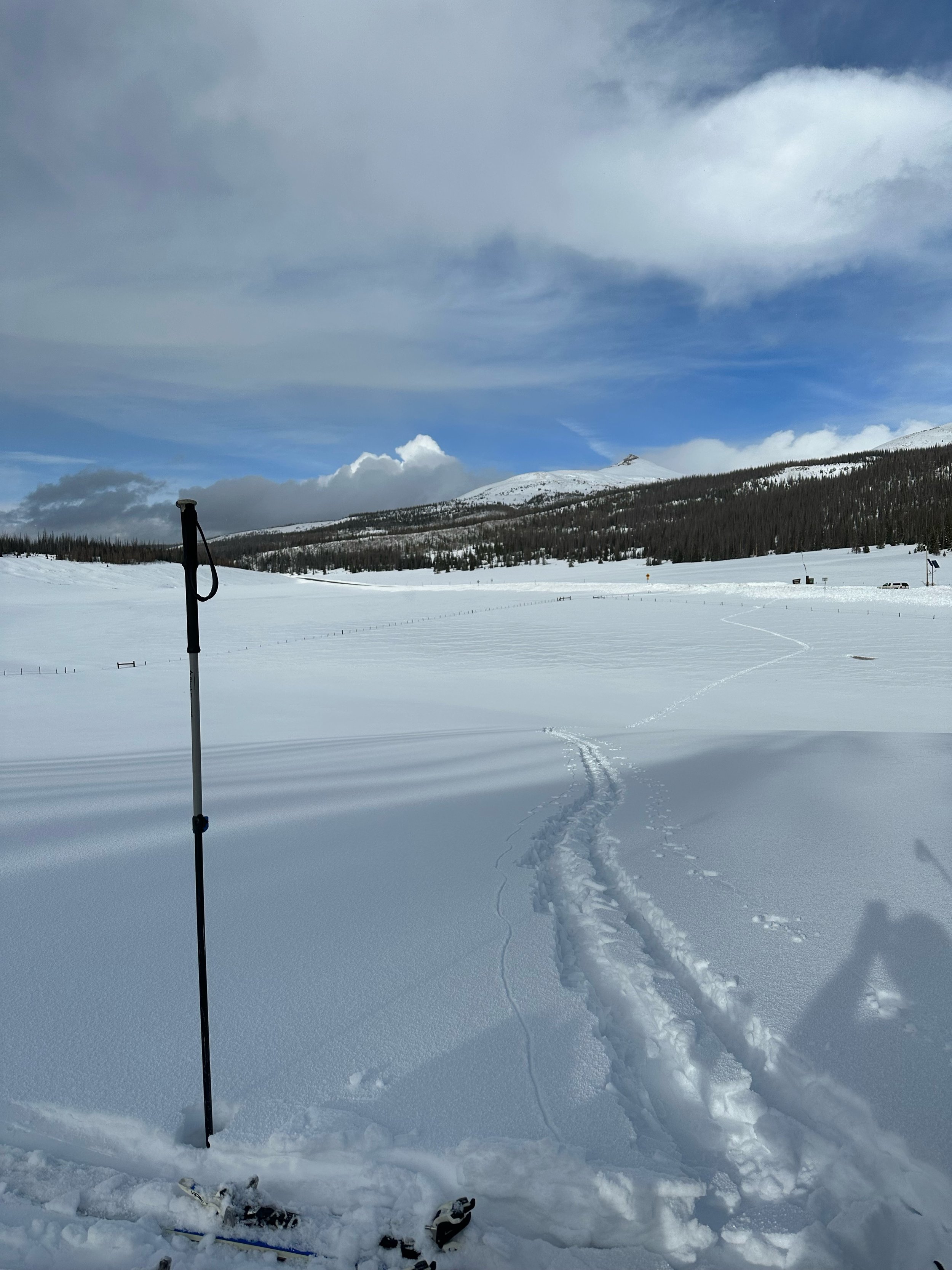
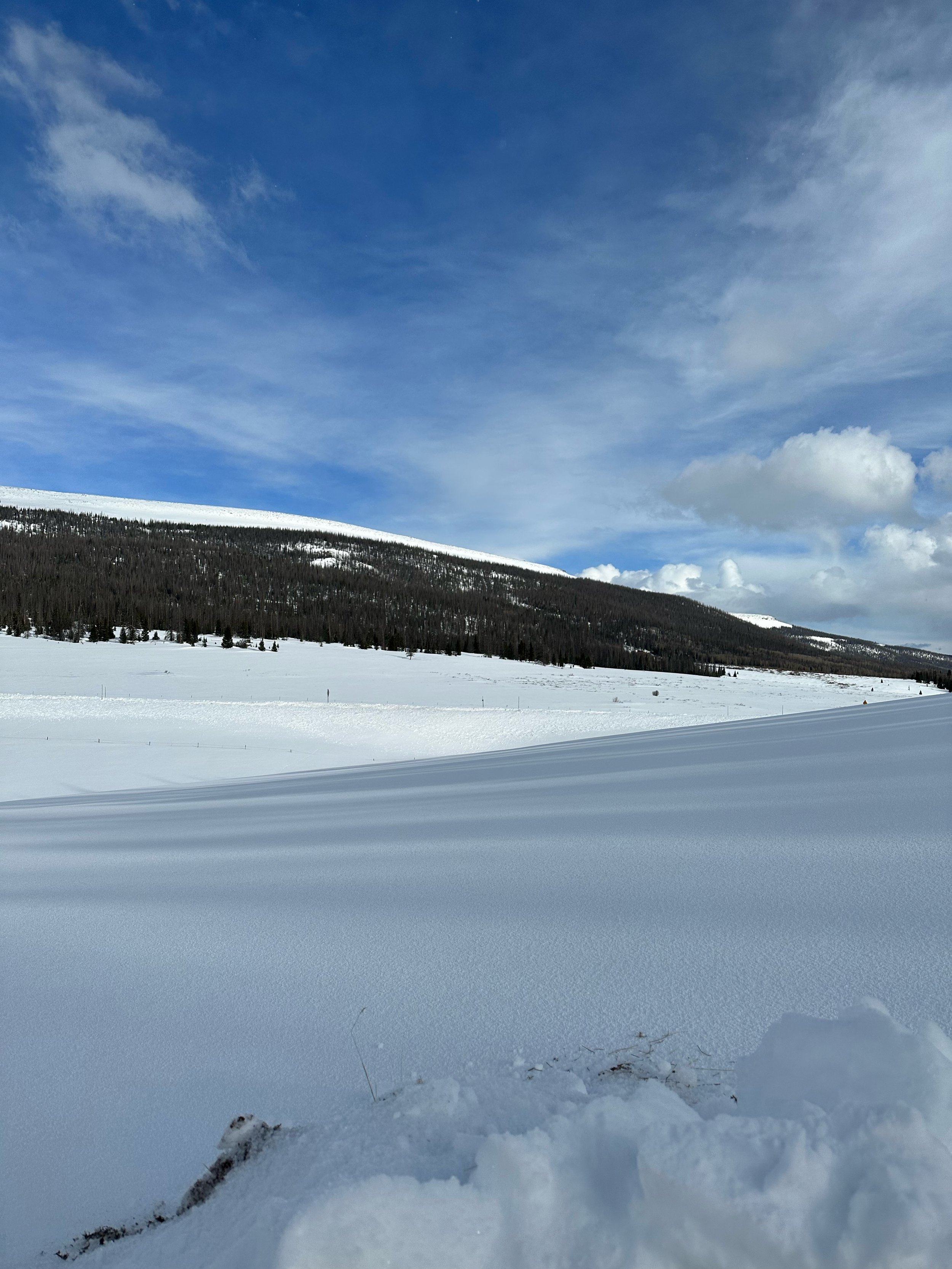
RABBIT EARS PASS: March 15
I did not see as much snow as expected at our Rabbit Ears sample location, possibly due to slight changes in topography in the area. No dust was observed in the snow profile. Our measurements showed 6.8’ snow depth and 24.5” SWE. The Rabbit Ears SNOTEL is showing 6.0’ depth and 25.7” SWE.
WILLOW Creek PASS
We did not visit Willow Creek this month because the deep snowpack at other CODOS sample sites and weather put us behind on time. Judging by the absence of dust at other sites the likelihood of any existing at Willow is low.