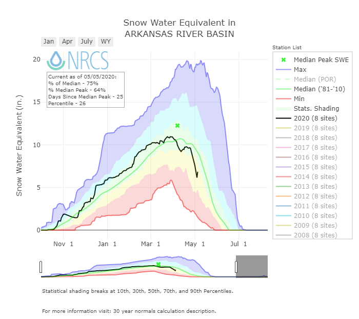
May 5, 2020: May CODOS Tour Observations
Greetings from Silverton,
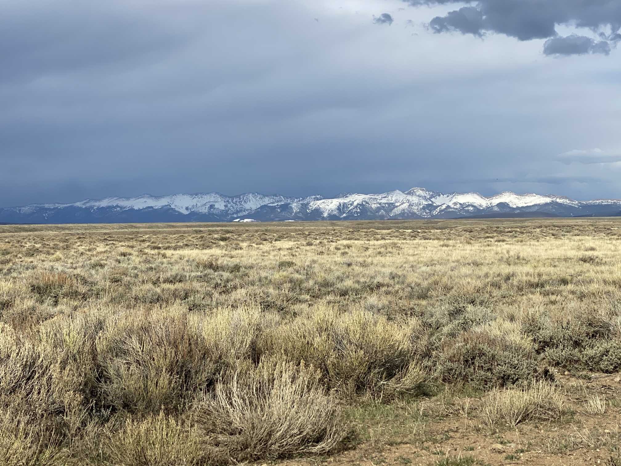
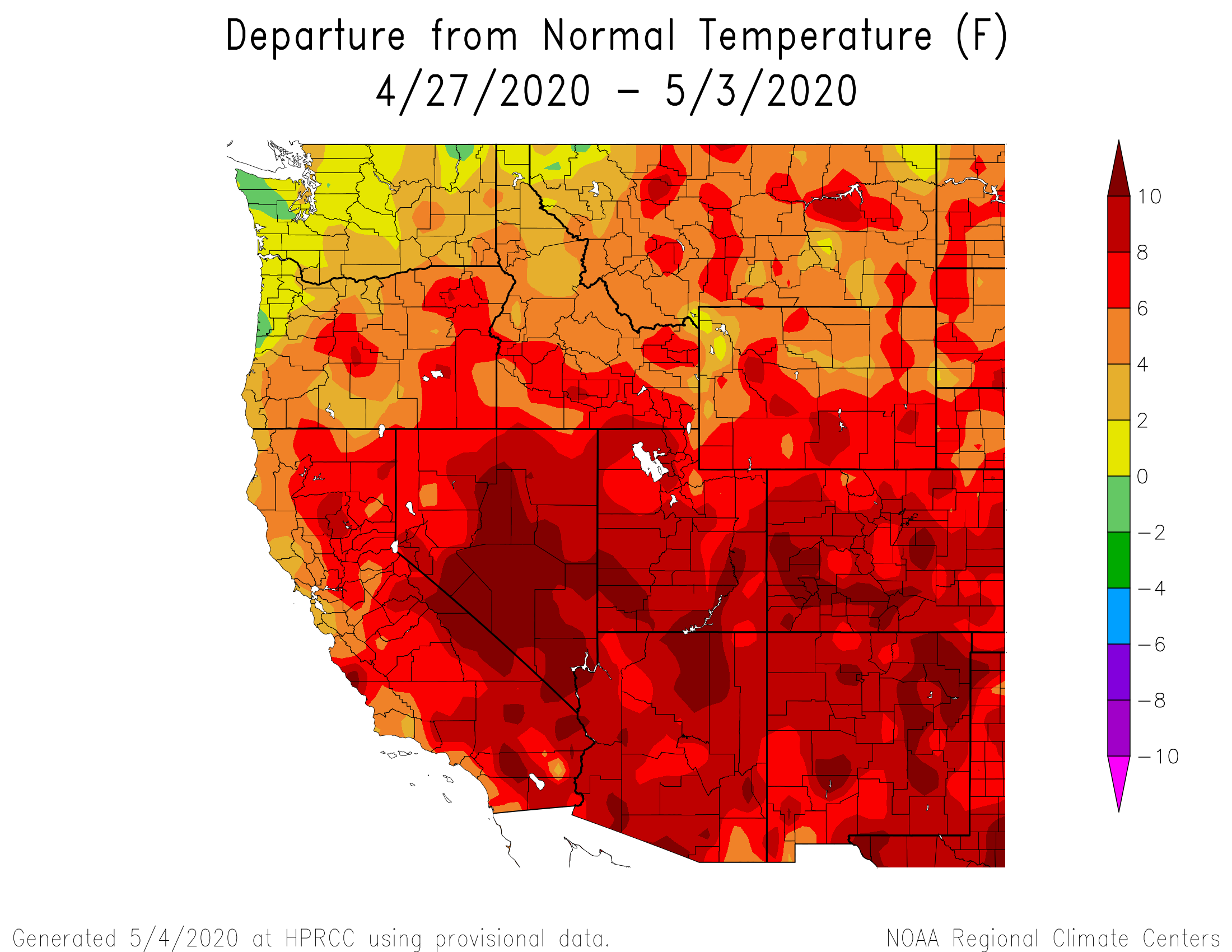
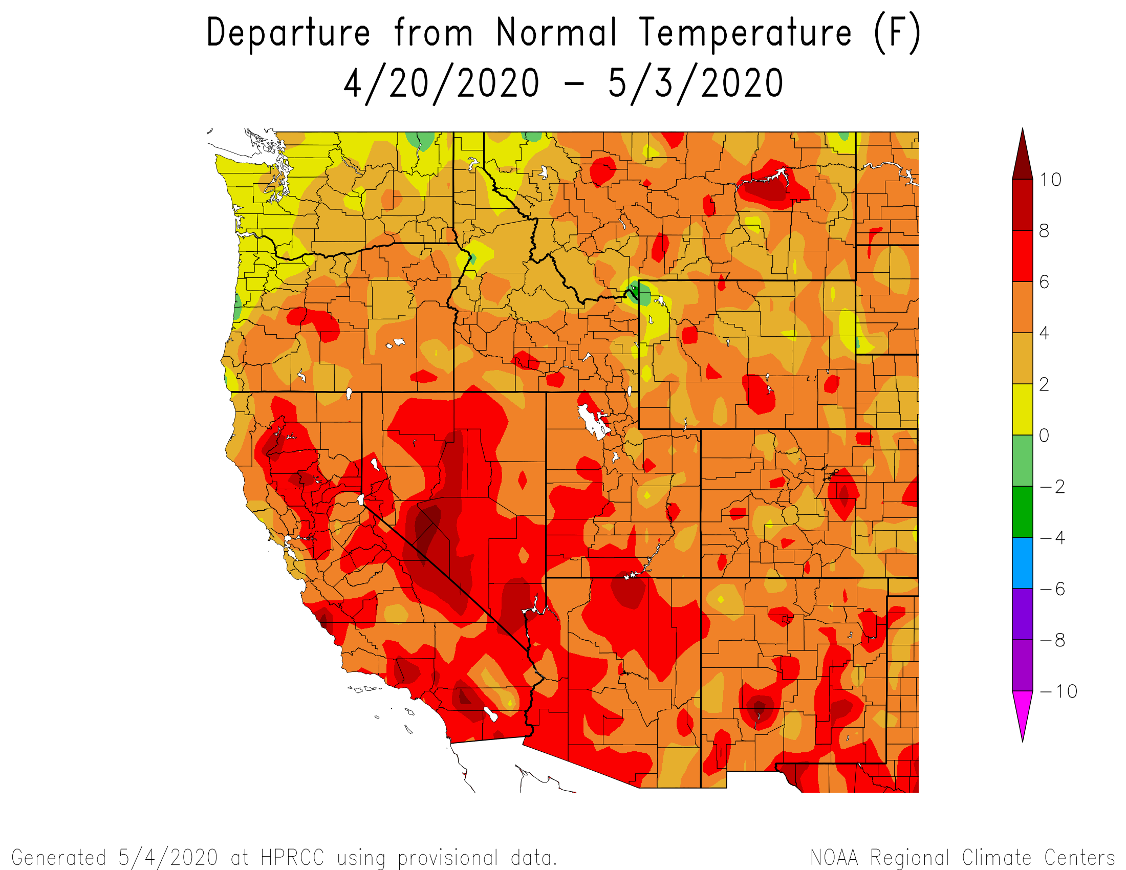
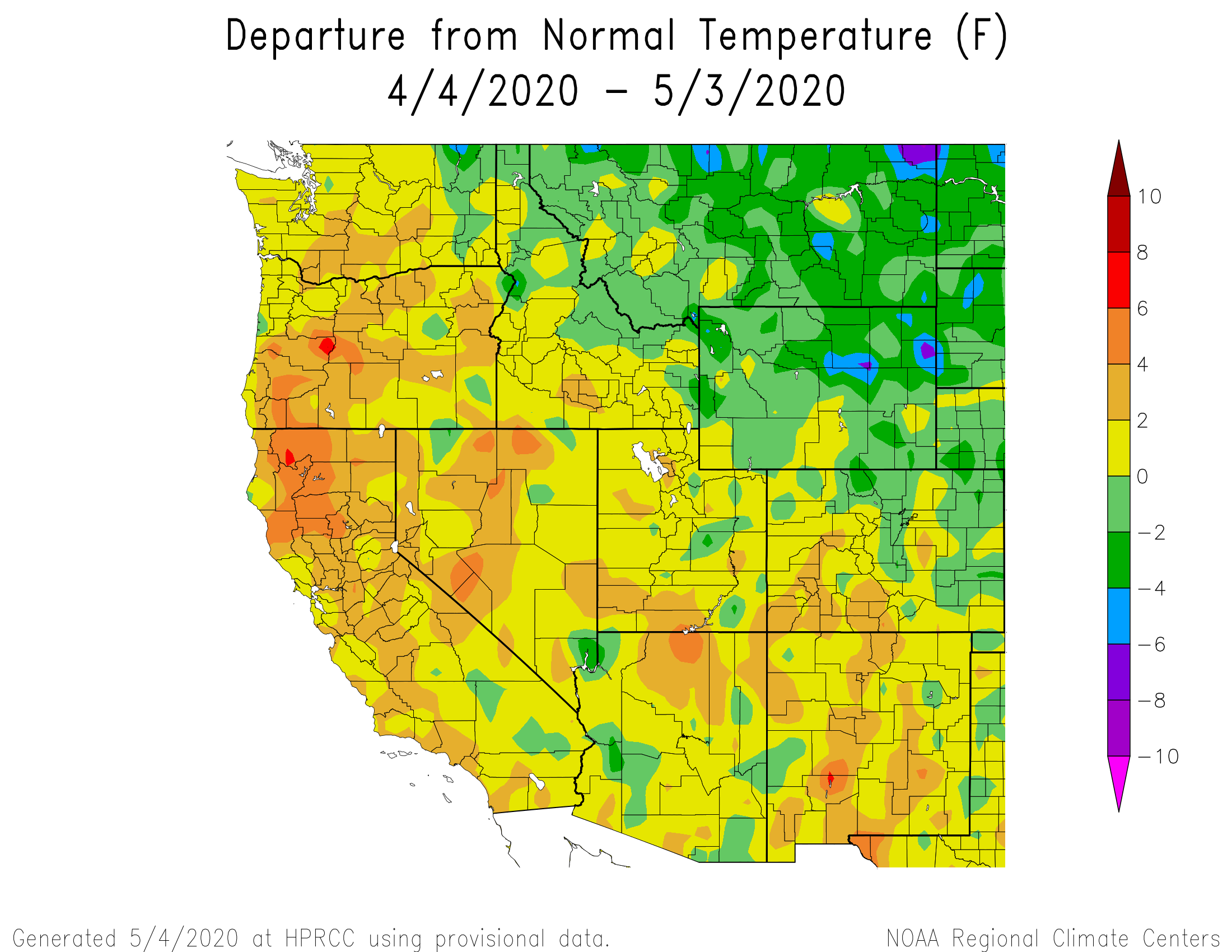
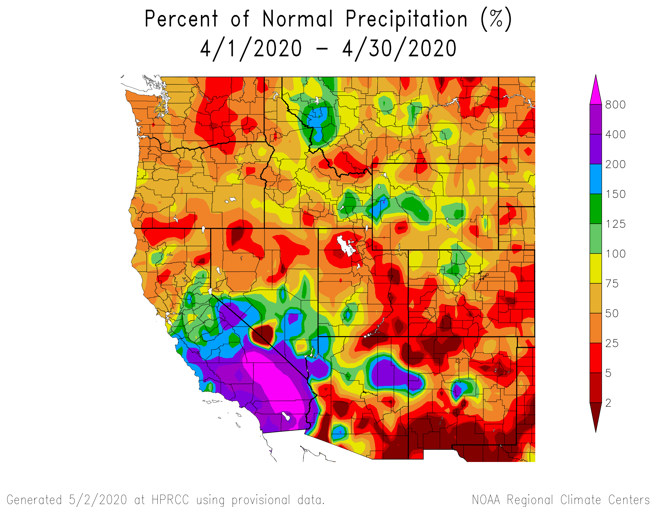
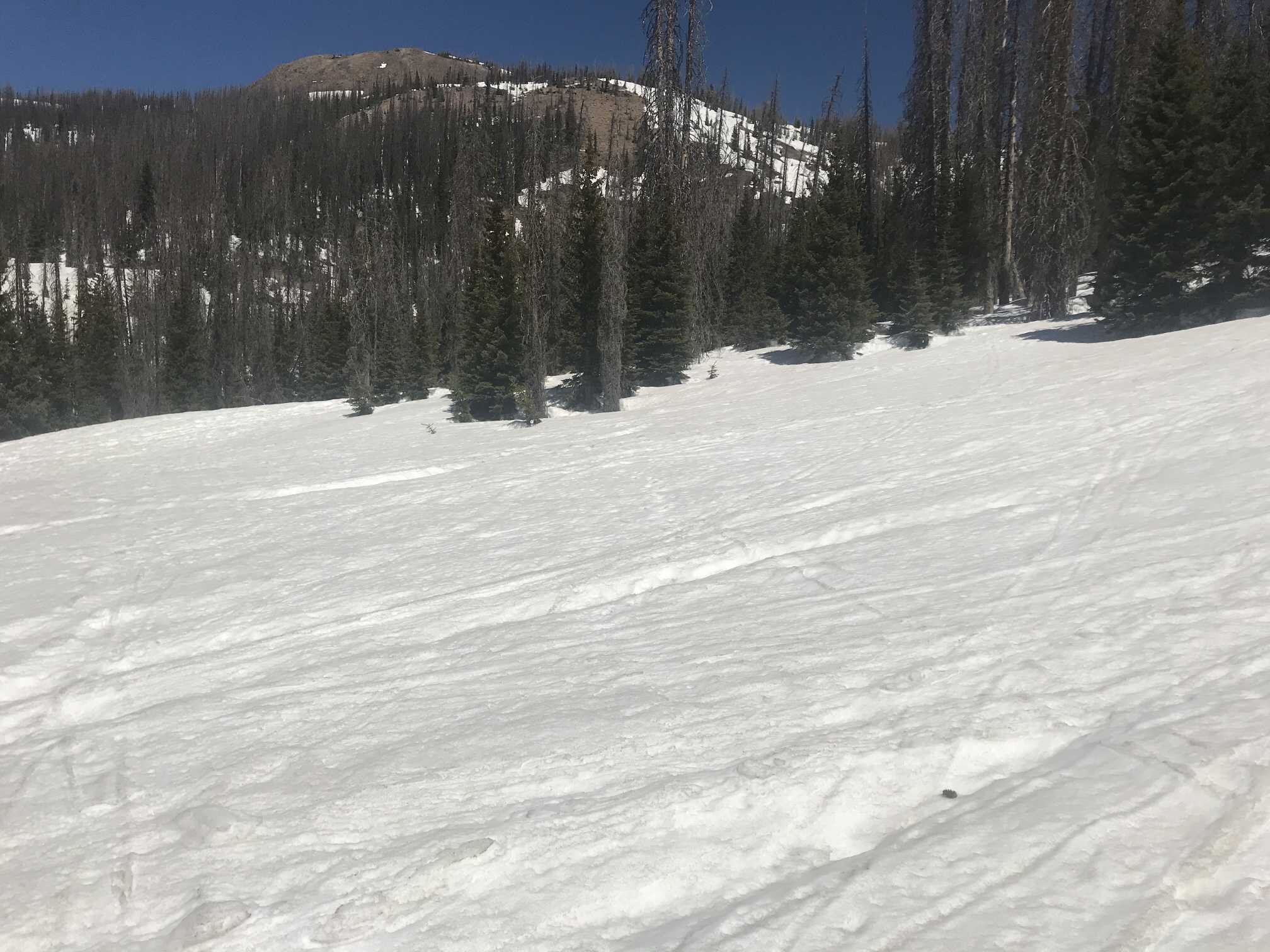
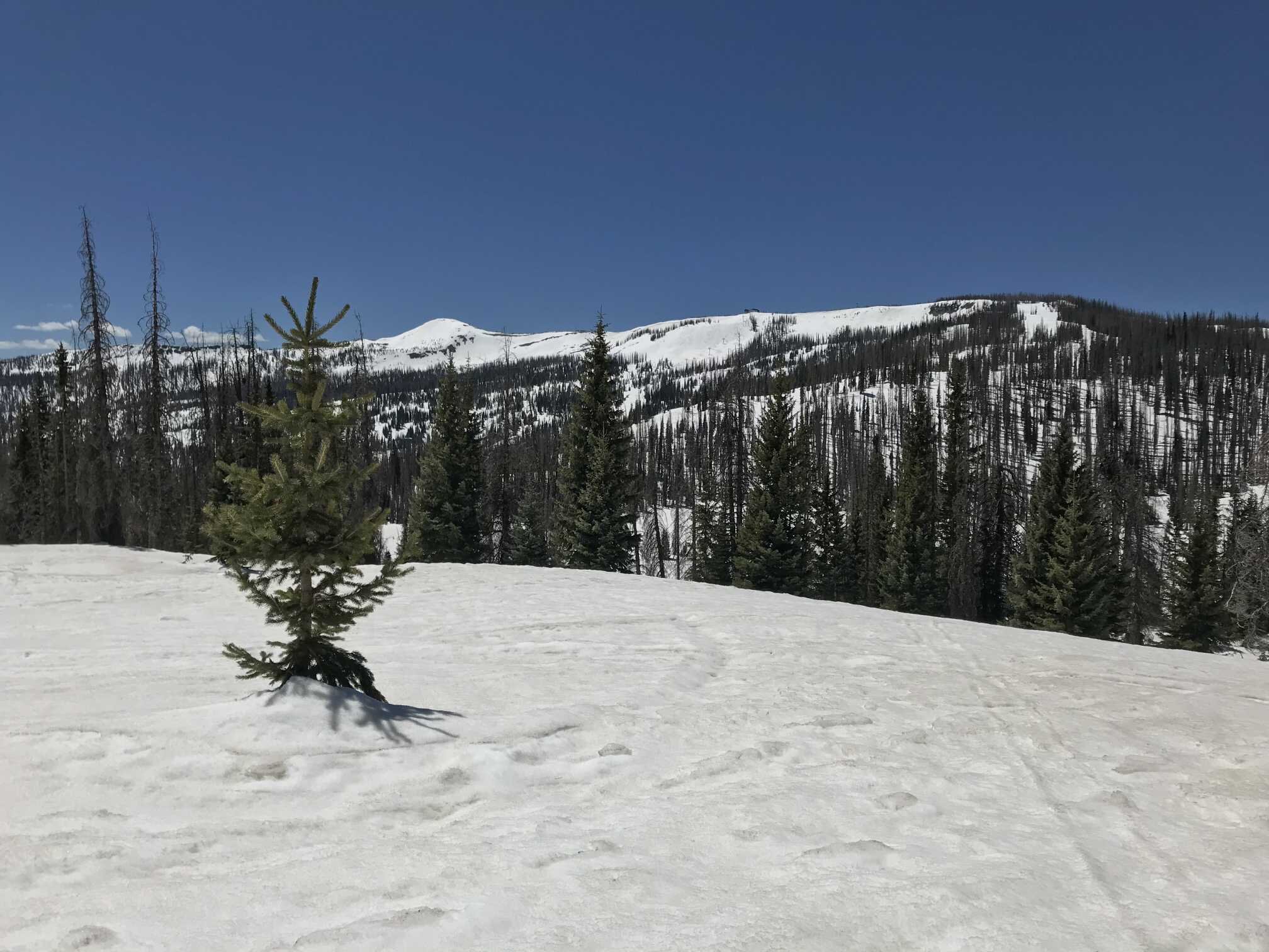
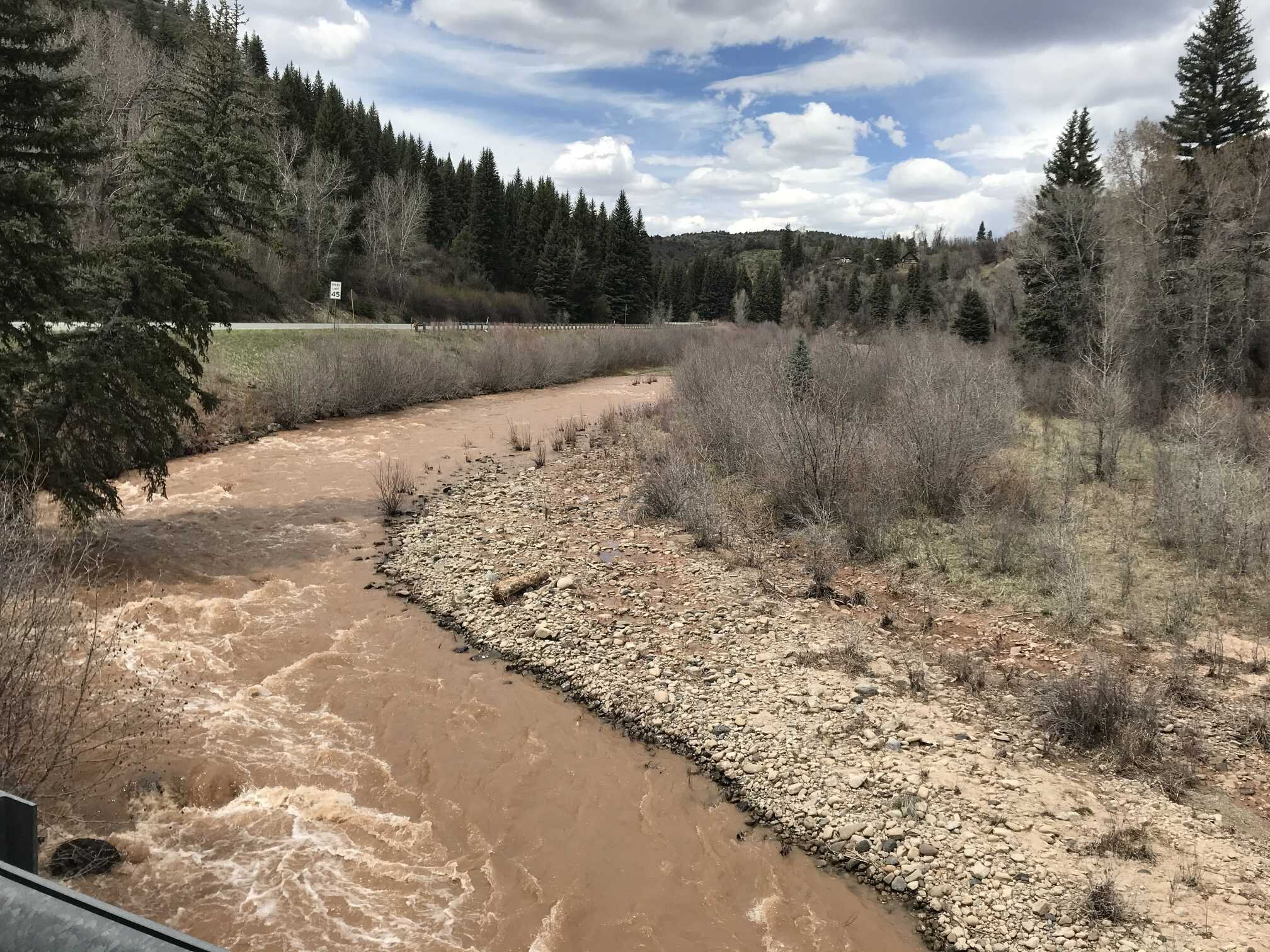
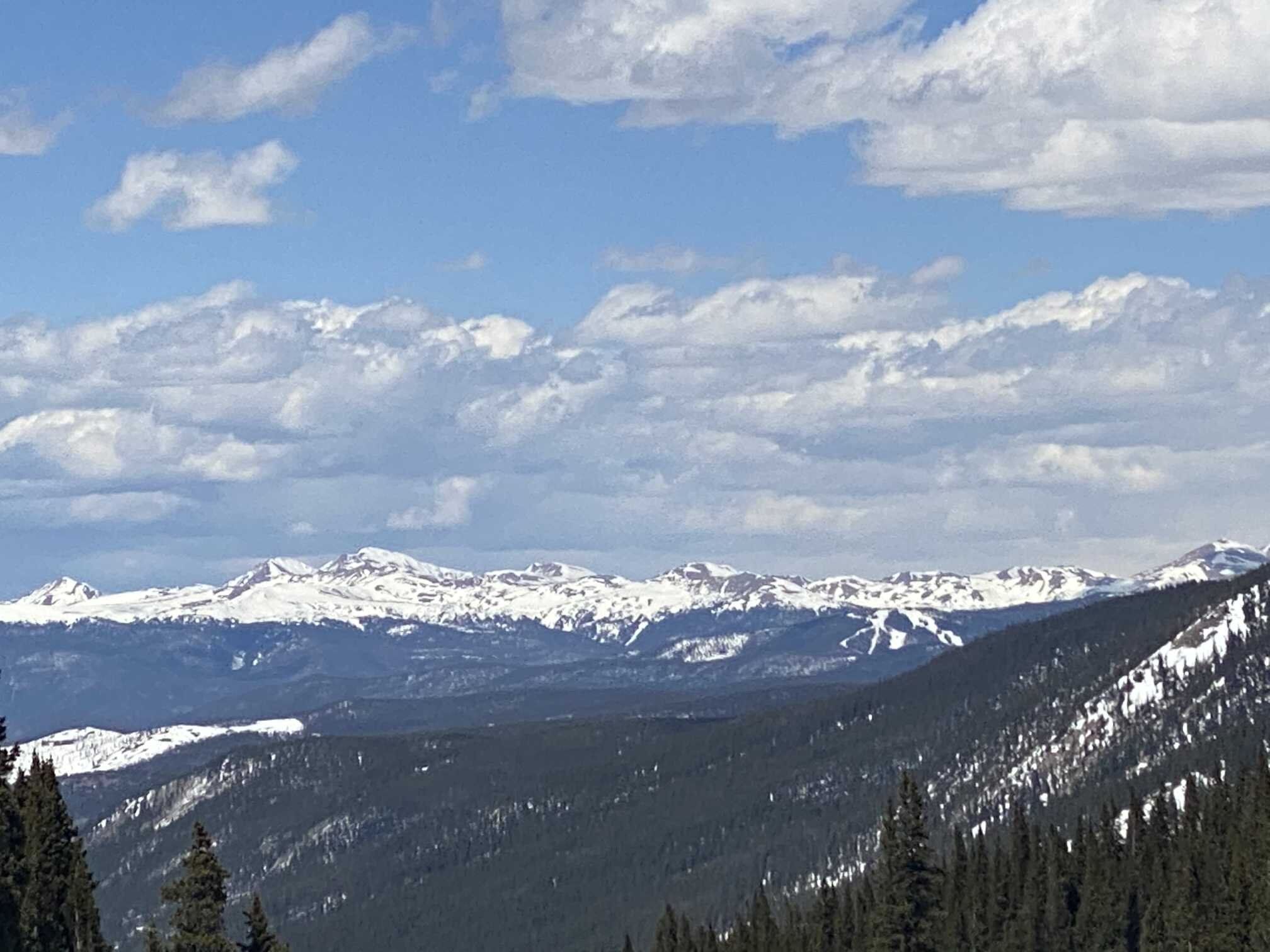
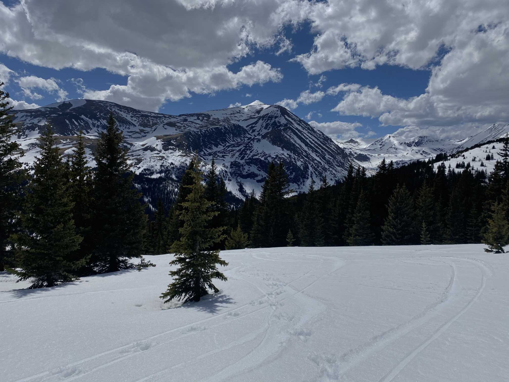
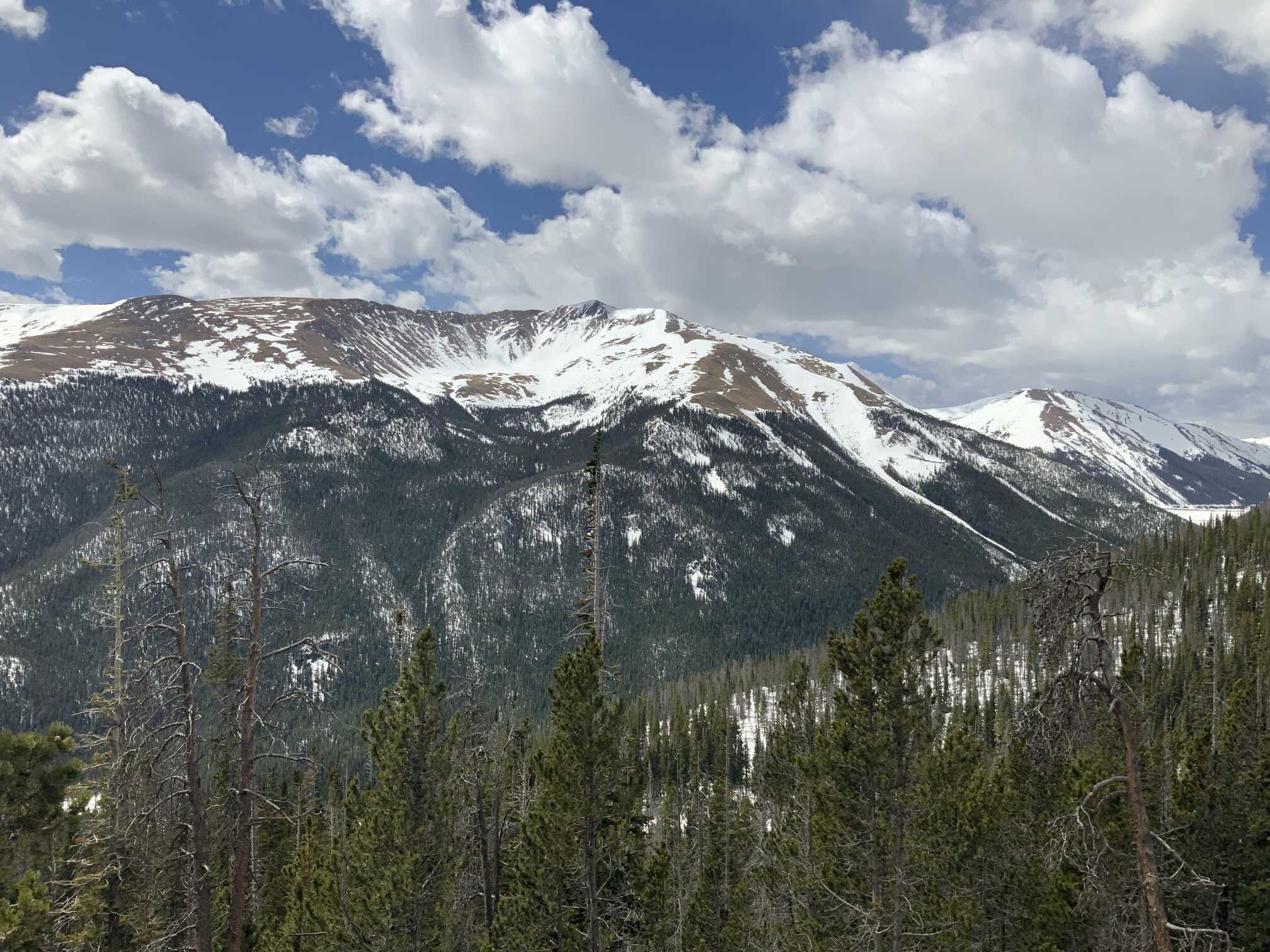
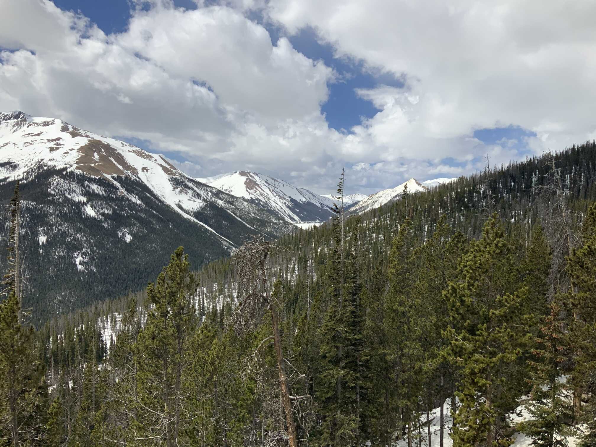
Here in Silverton and much of Colorado it has been pretty much hot and dry for the last couple weeks, this past week especially so (see temperature maps below). In and around town the newly exposed soil is dry and there are very few moist areas like we normally see. We have not had an official storm since Easter (April 12). Since then we have received bits of precipitation adding up to a little over an inch. For the month of April we received 2.3” precipitation, that is over a couple inches short of what we normally receive. The CBRFC noted that a number of SNOTEL’s in Southwest Colorado reported their driest April on record.
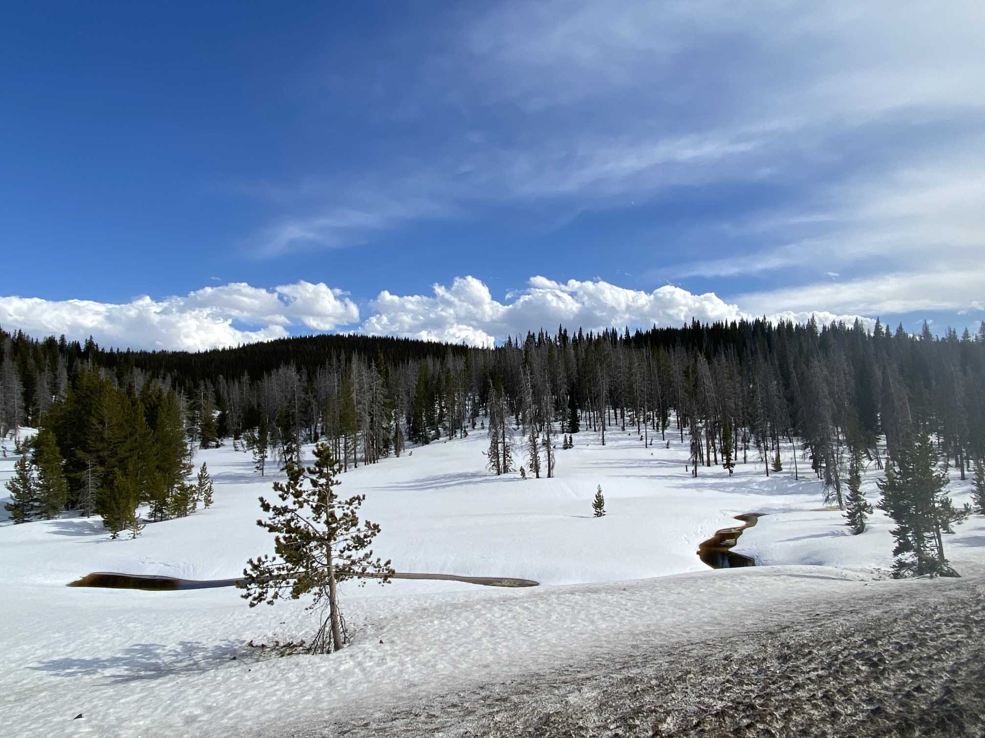
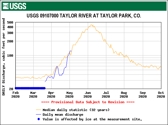
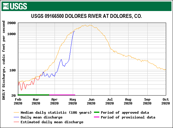
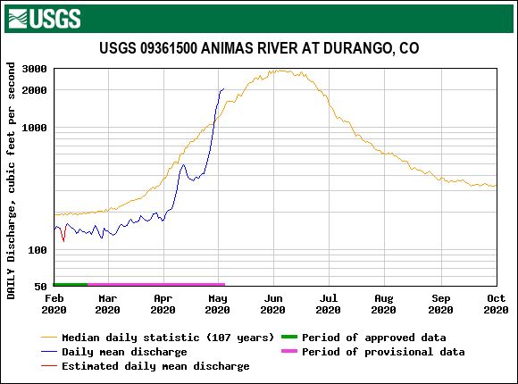
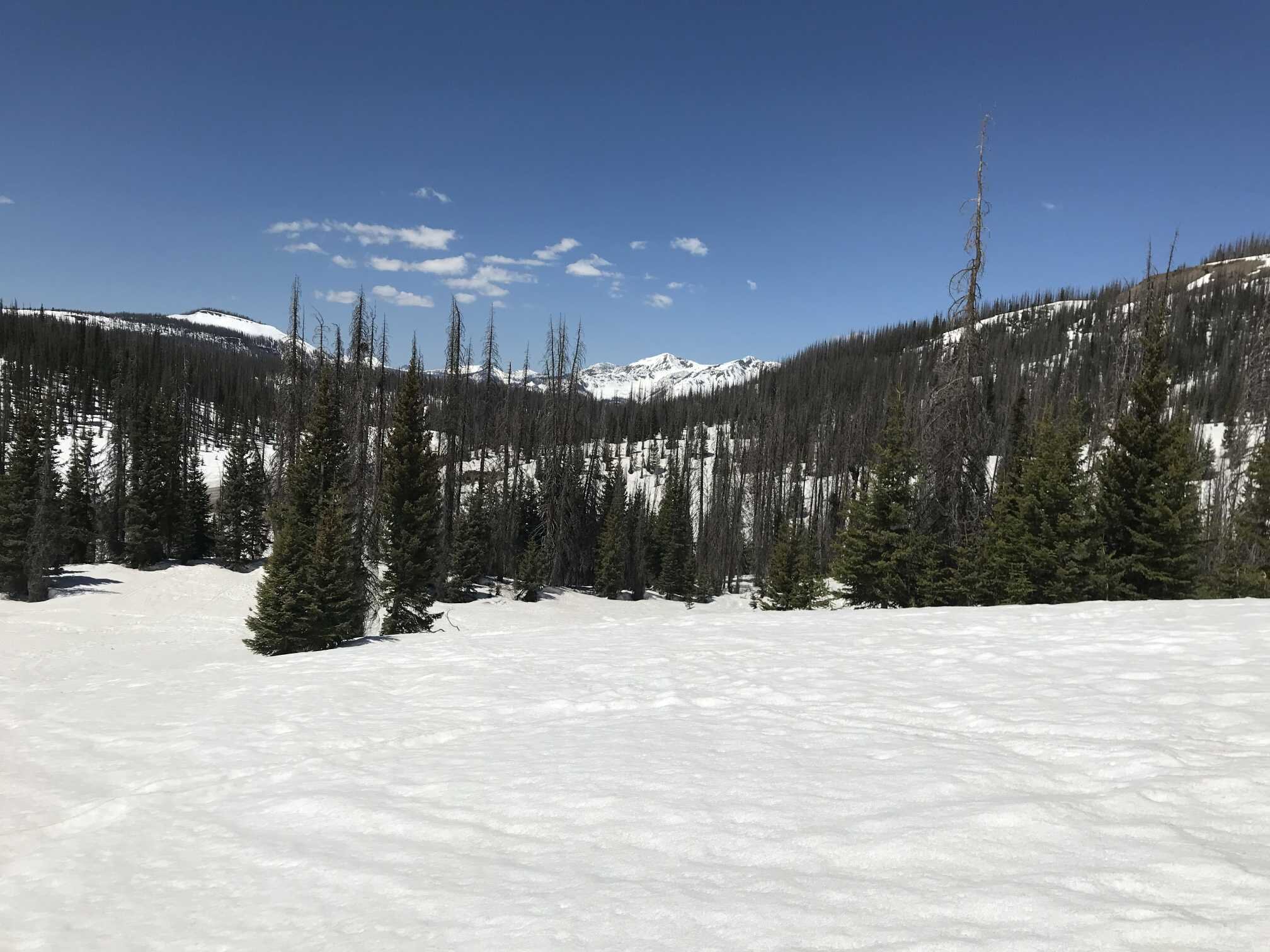
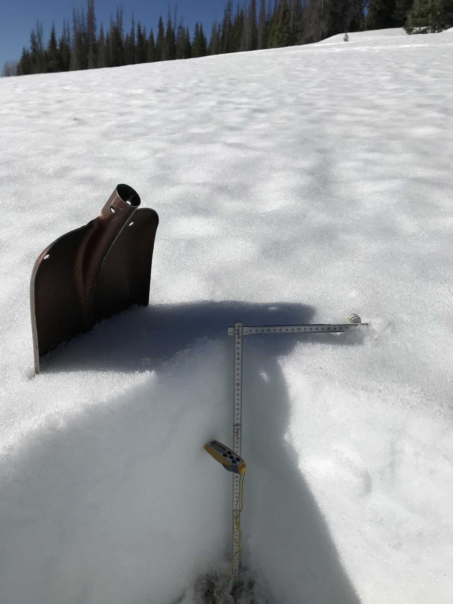
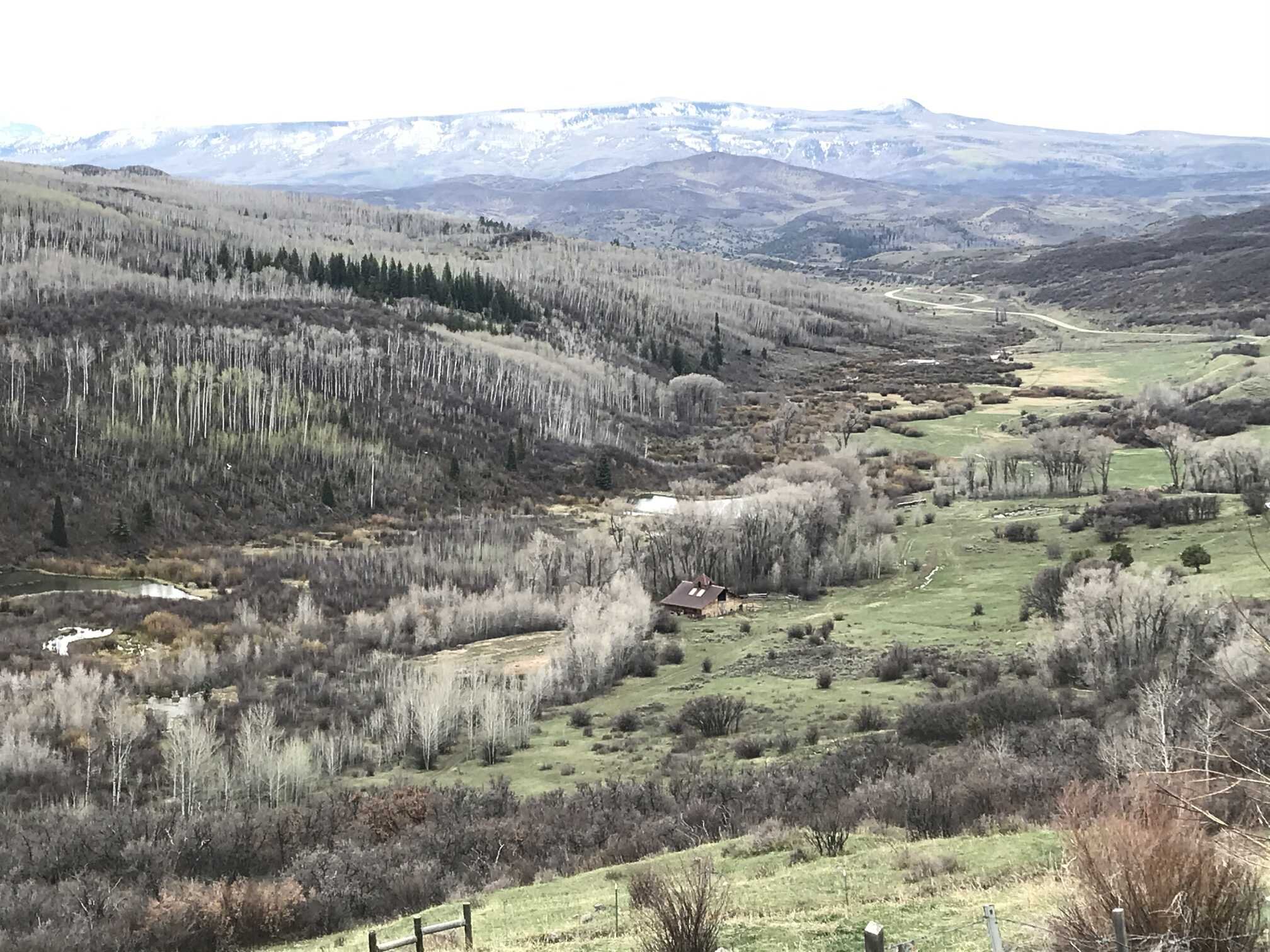
This past weekend the CODOS team completed the final CODOS statewide tour of the season. The Central and Southern sites particularly have been melting fast since our last visit three weeks ago. On April 11 for example a 5.2’ deep snowpack with 24.6” SWE at Wolf Creek was 2.8’ deep containing 14.3” SWE on May 1. The snowpack is melting so fast that we collected all-layers-merged samples - usually we do this towards the end of May or in June - for USGS analysis because most sites will be melted out relatively soon.
Dust conditions throughout the state are generally pretty minimal. The Central and Southern sites have obvious dust with the Southern locations edging towards “moderate” dust conditions currently from “light” previously. At Swamp Angel dust event #1, a moderate layer, is 1’ under the surface and will ensure this once merged at the surface. At Wolf Creek all dust layers are merged at the surface, and taken as a whole are severe enough, plus an additional layer only seen in the Southern San Juans, to push current conditions to moderate as well.
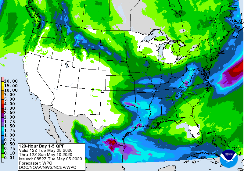
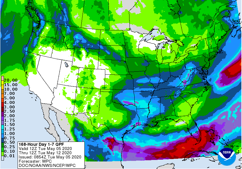
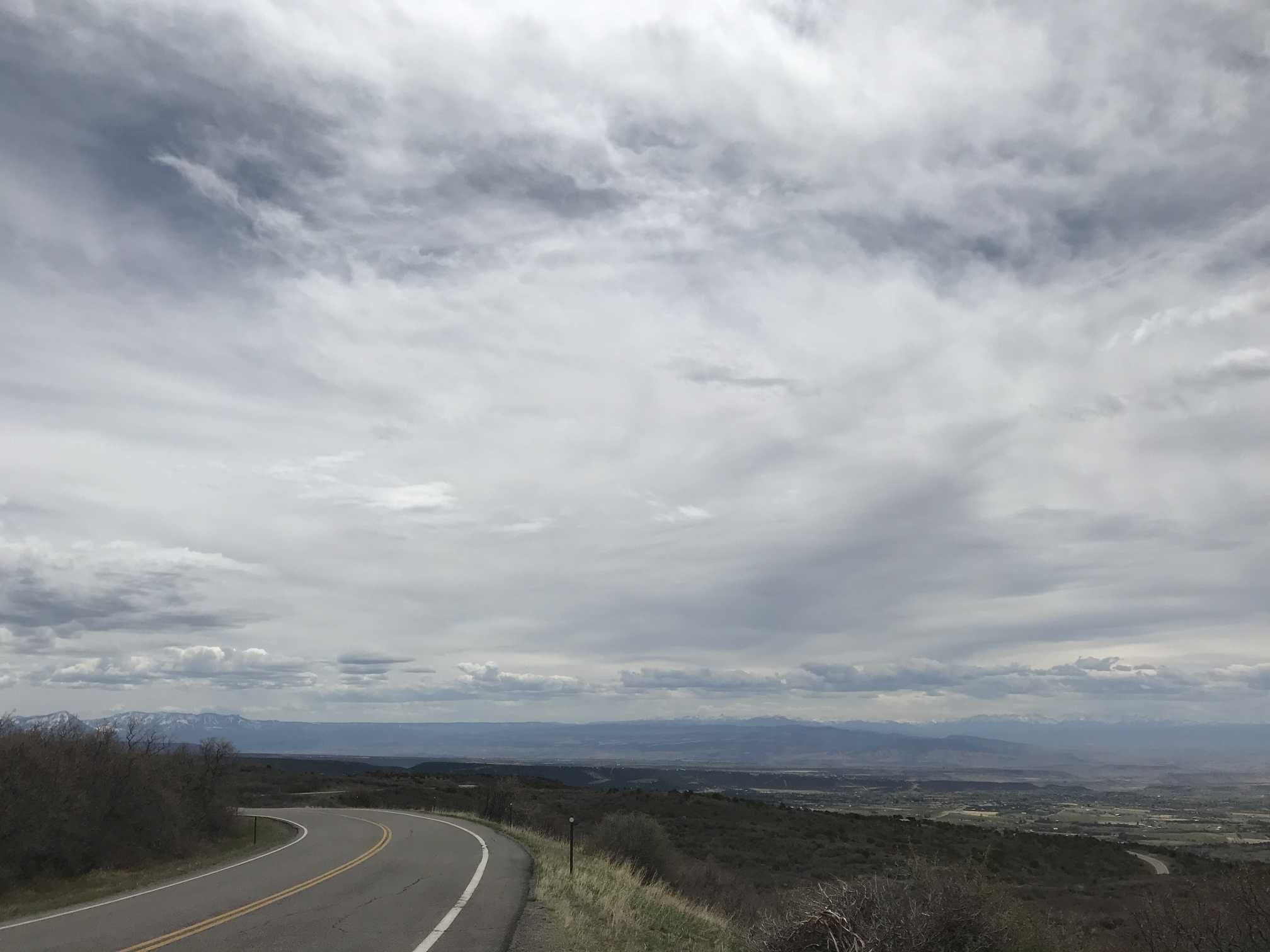
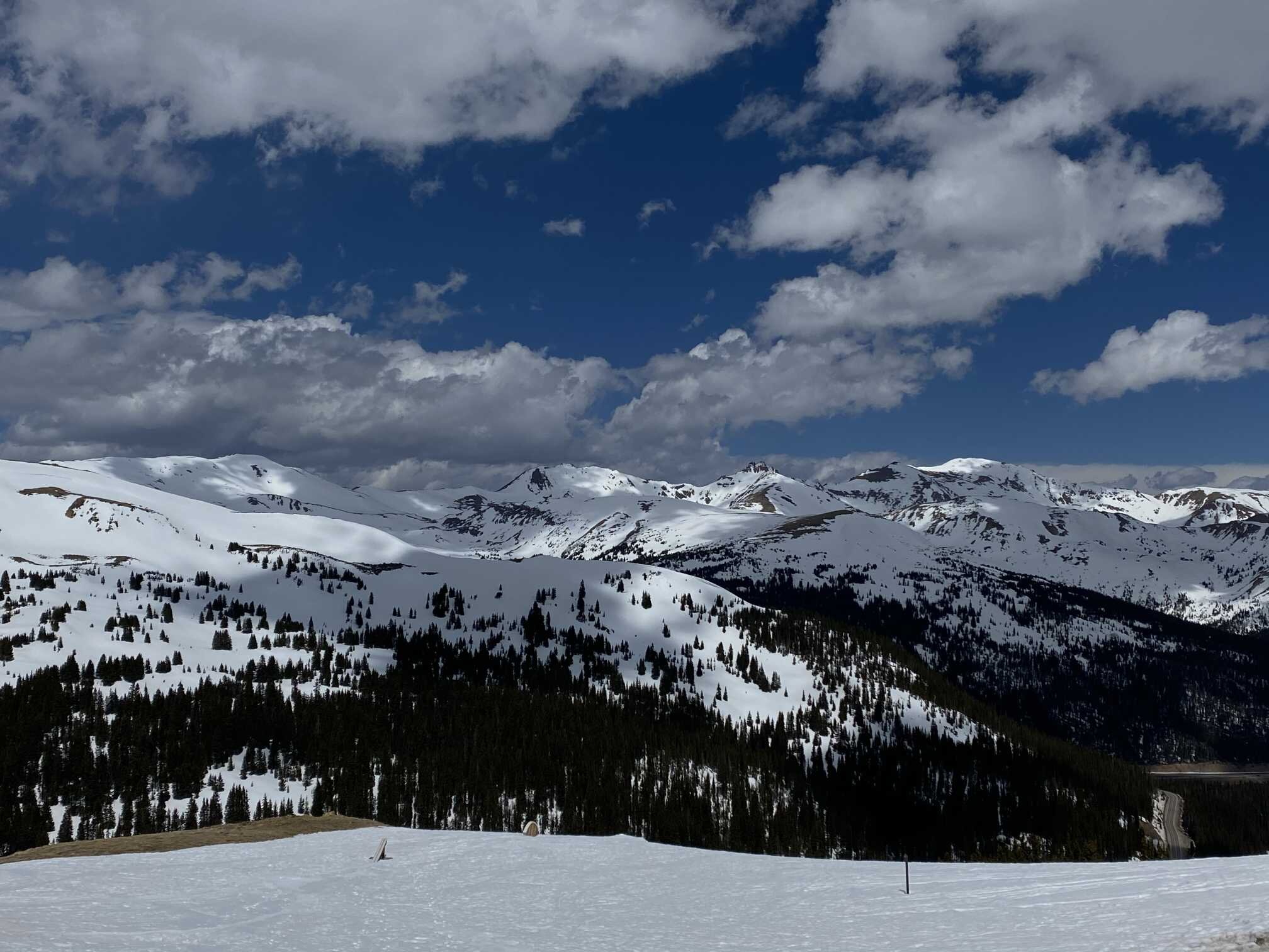
The heat with dust on the surface has been rapidly melting the snowpack and spiking streamflows. The forecast unfortunately is more of the same. Tomorrow temperatures will be well above normal and the usual warm and dry the remainder of the week. Gusty winds are also called for over the next few days. In the Silverton area the first chance of precipitation looks to be on Monday/Tuesday. It is not often that the precipitation forecast map is completely blank for the entire state of Colorado (see maps below), but the 5-day map currently is and the 7-day is not showing much forecasted moisture either.

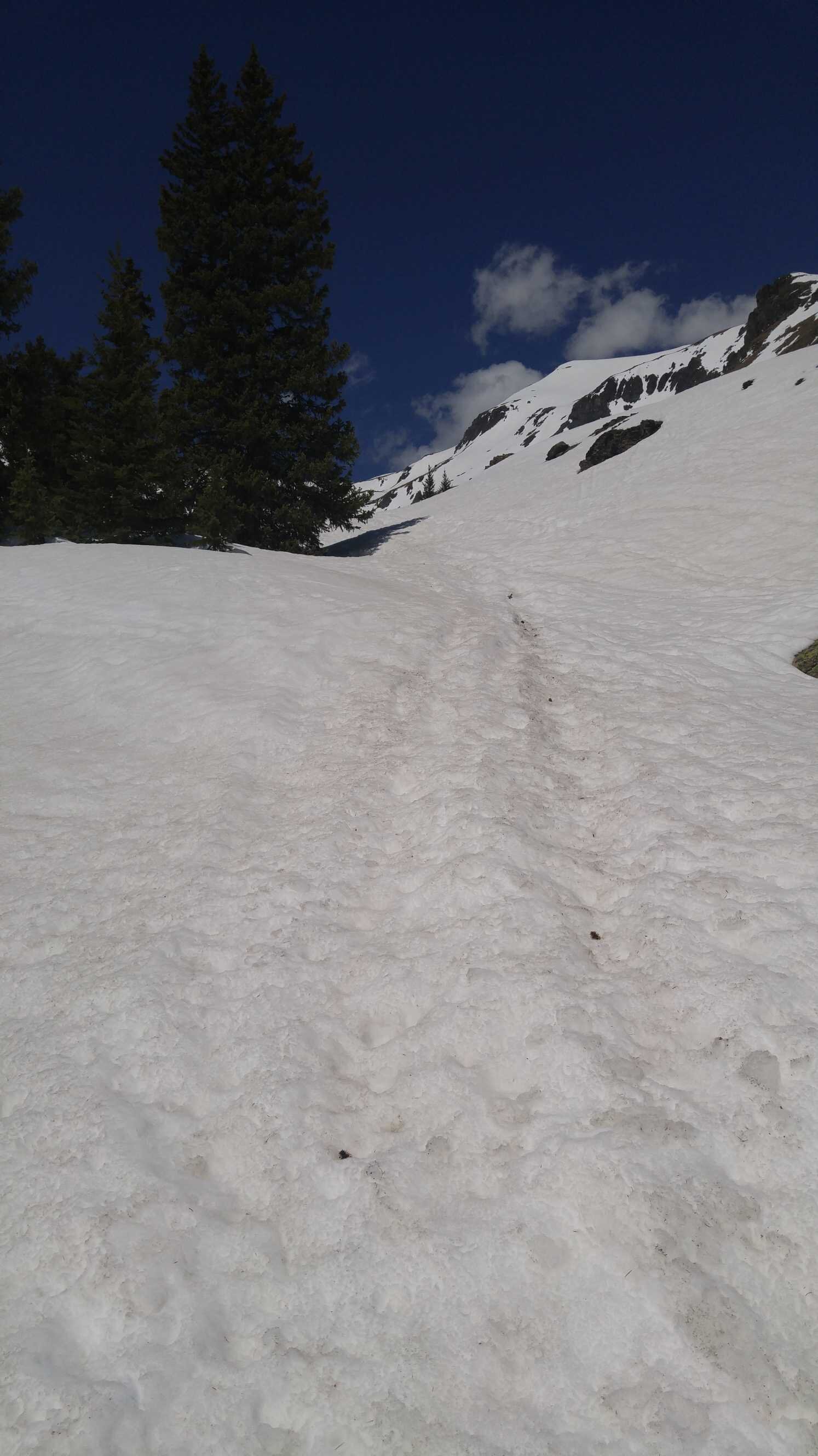
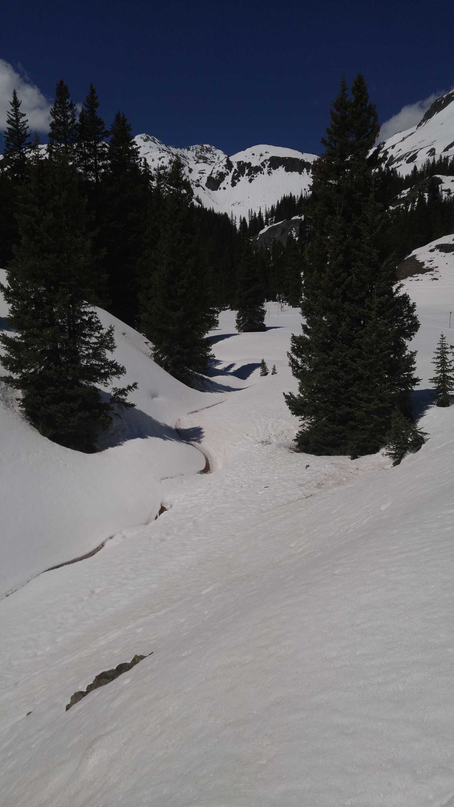
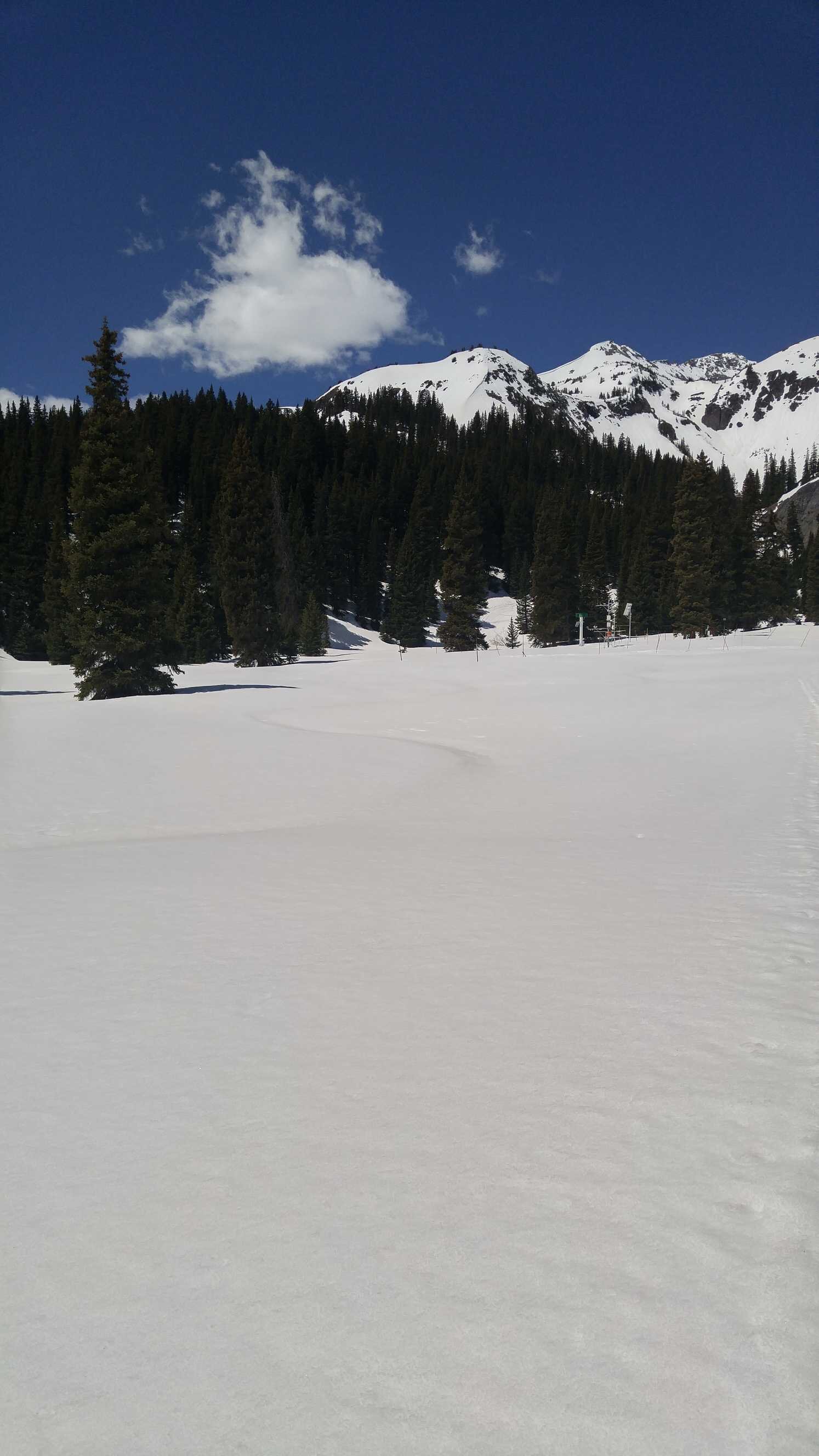
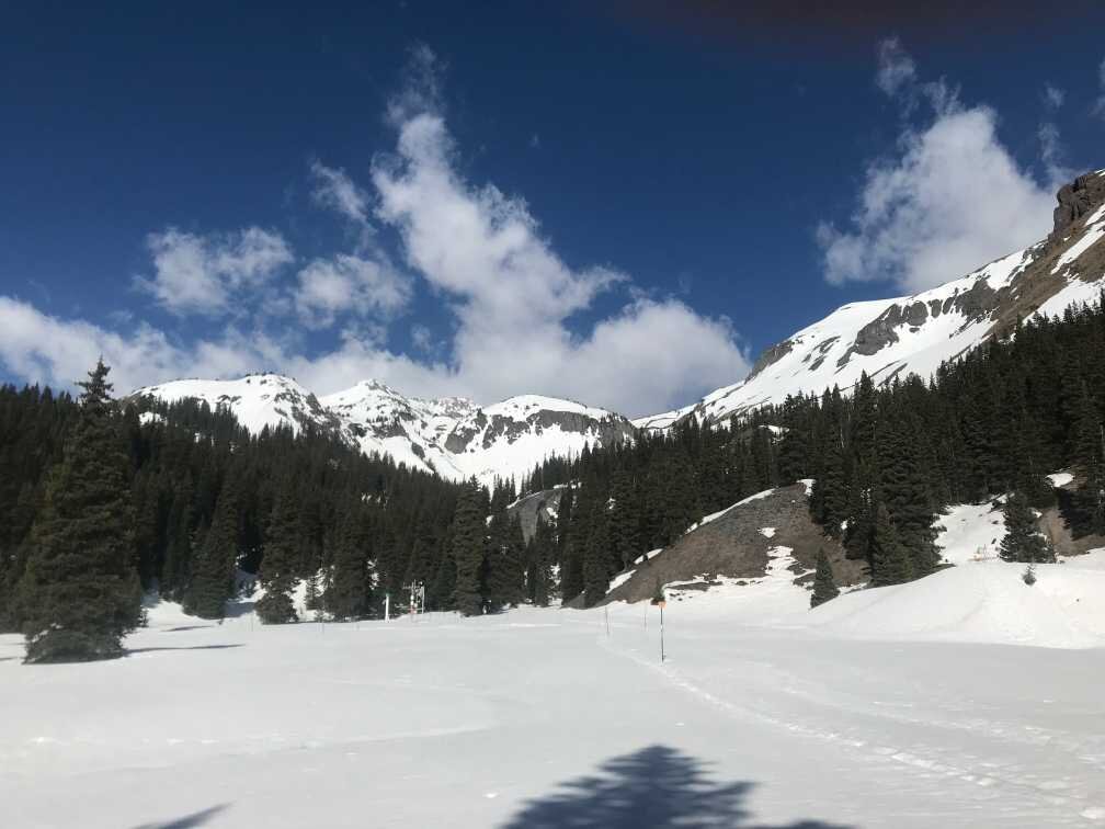
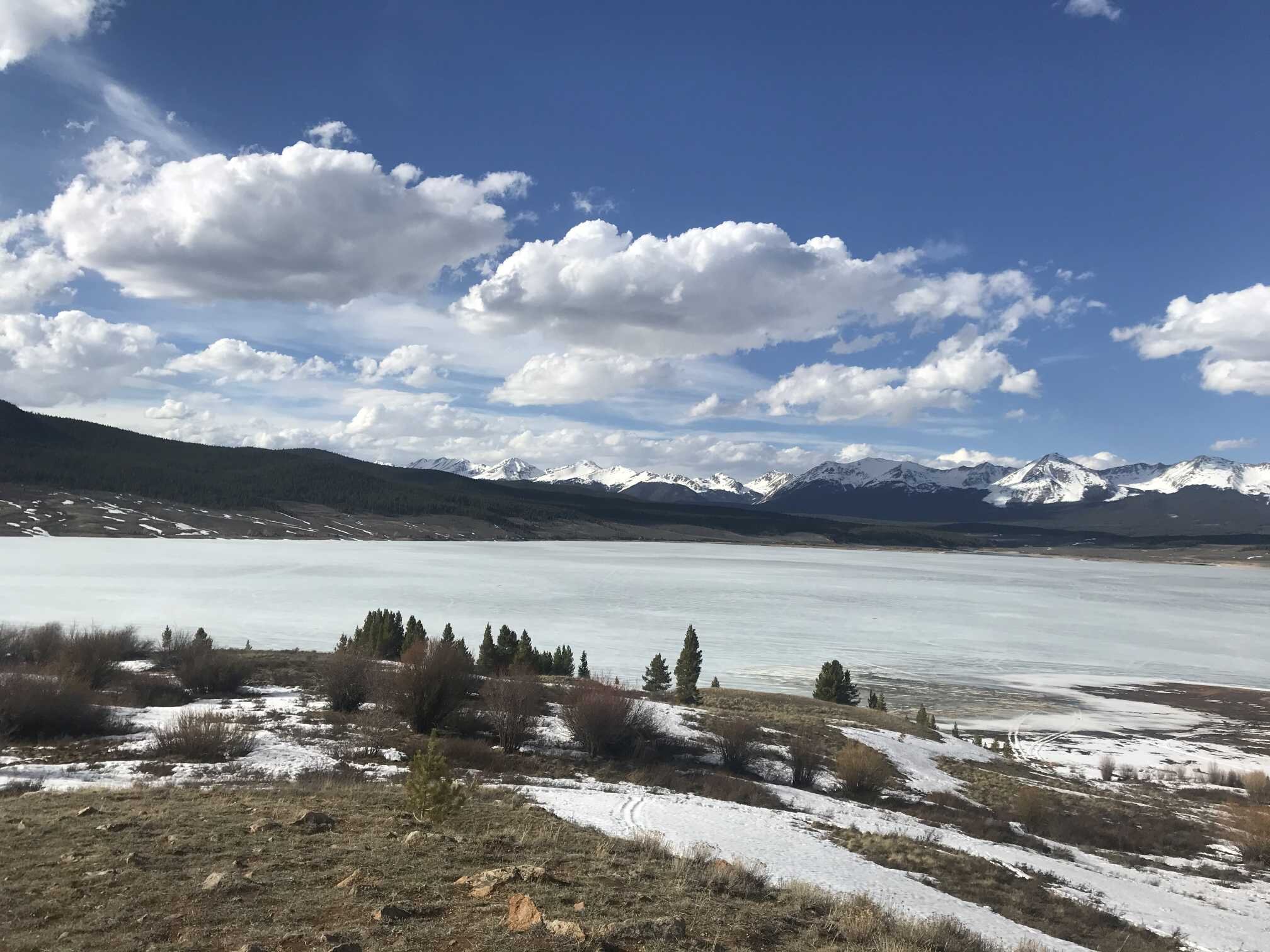
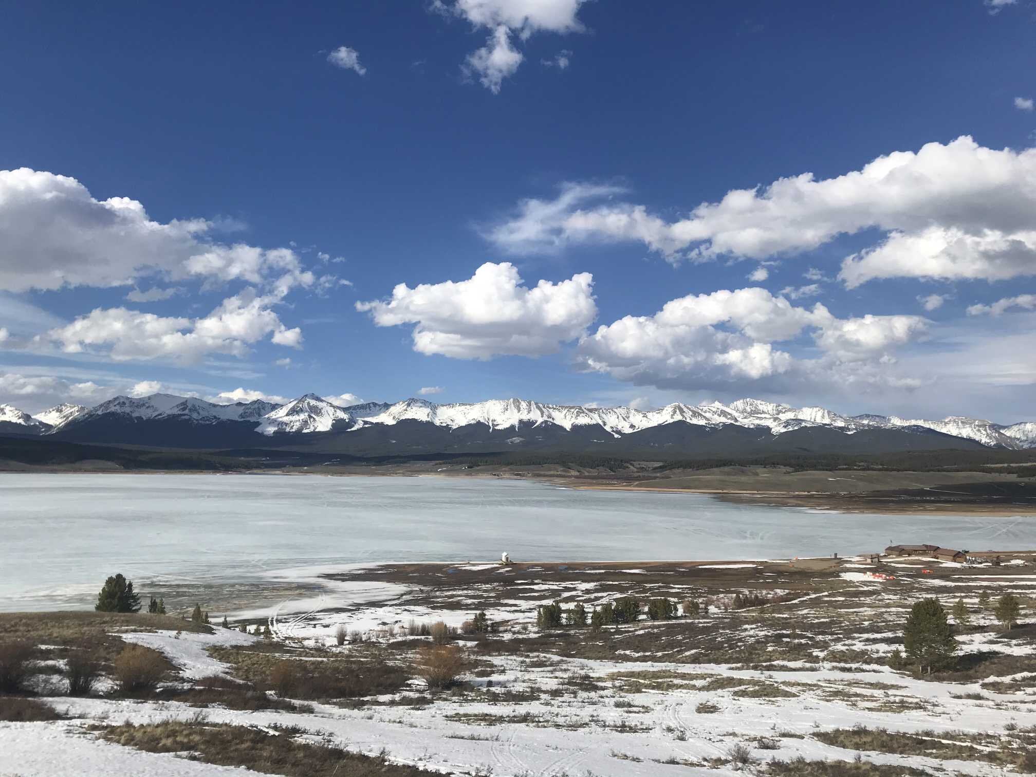
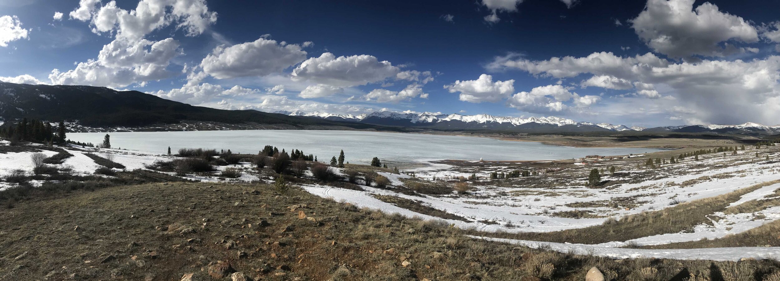
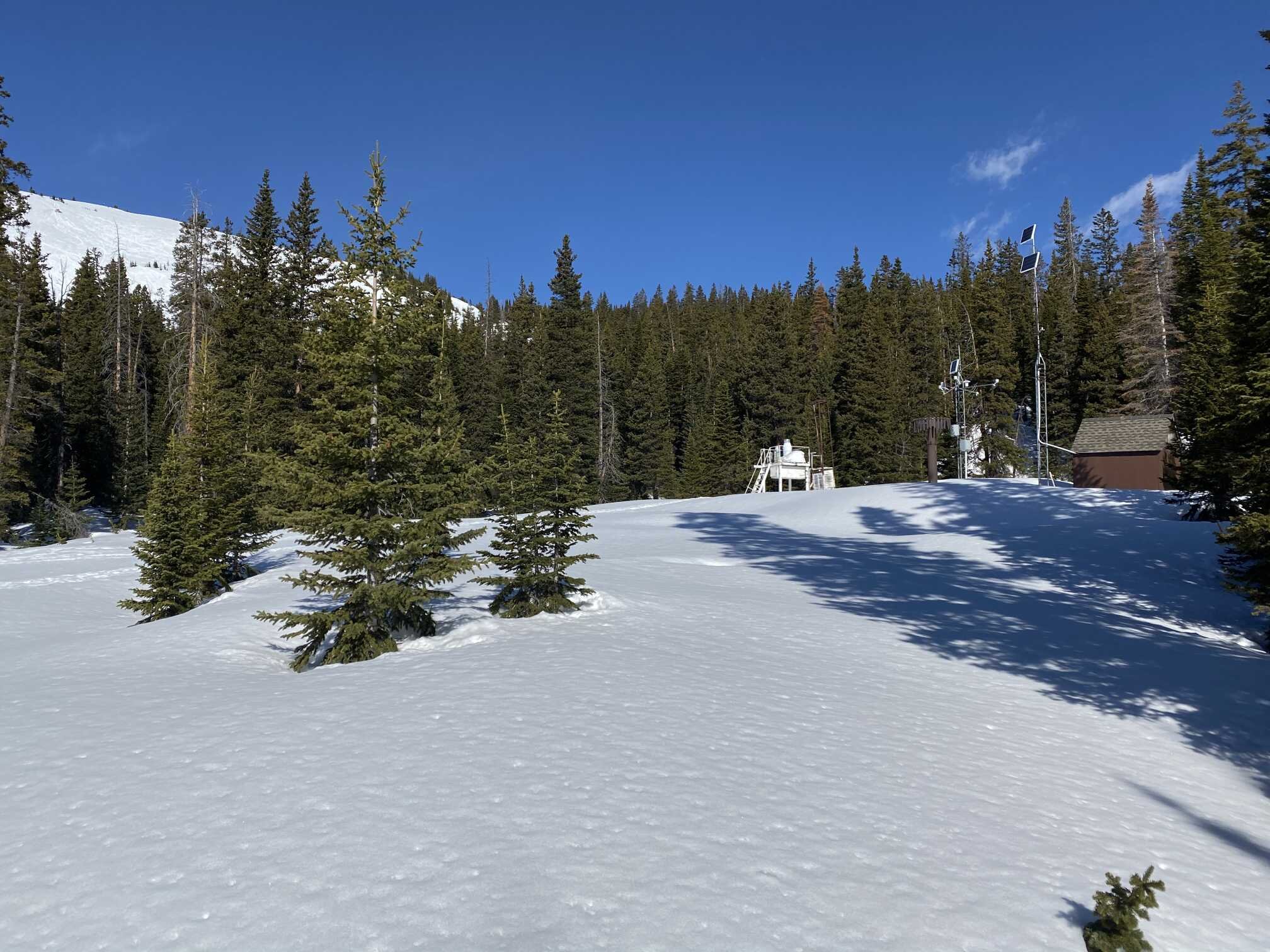
Senator BECk BAsin (May 4)
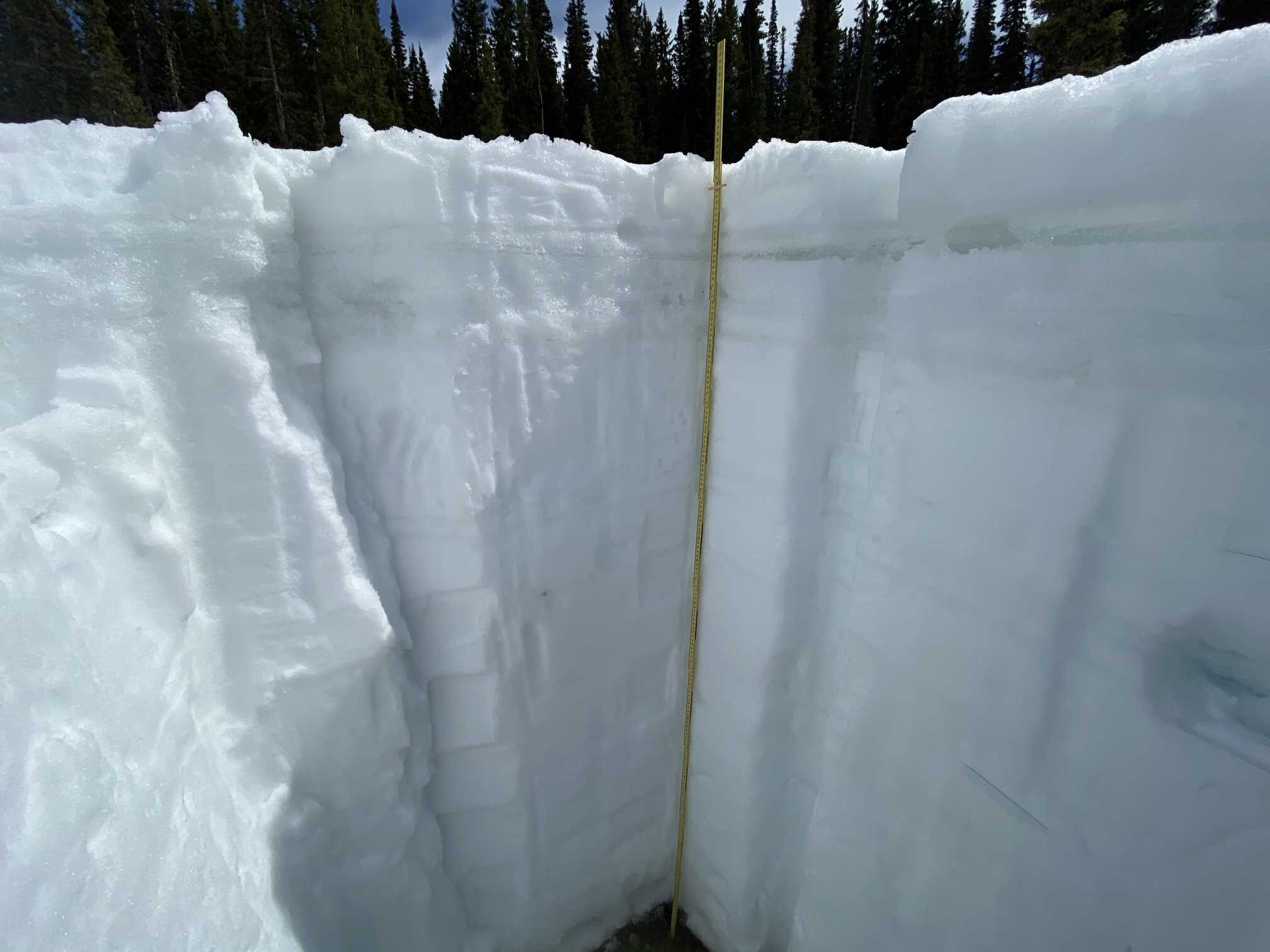
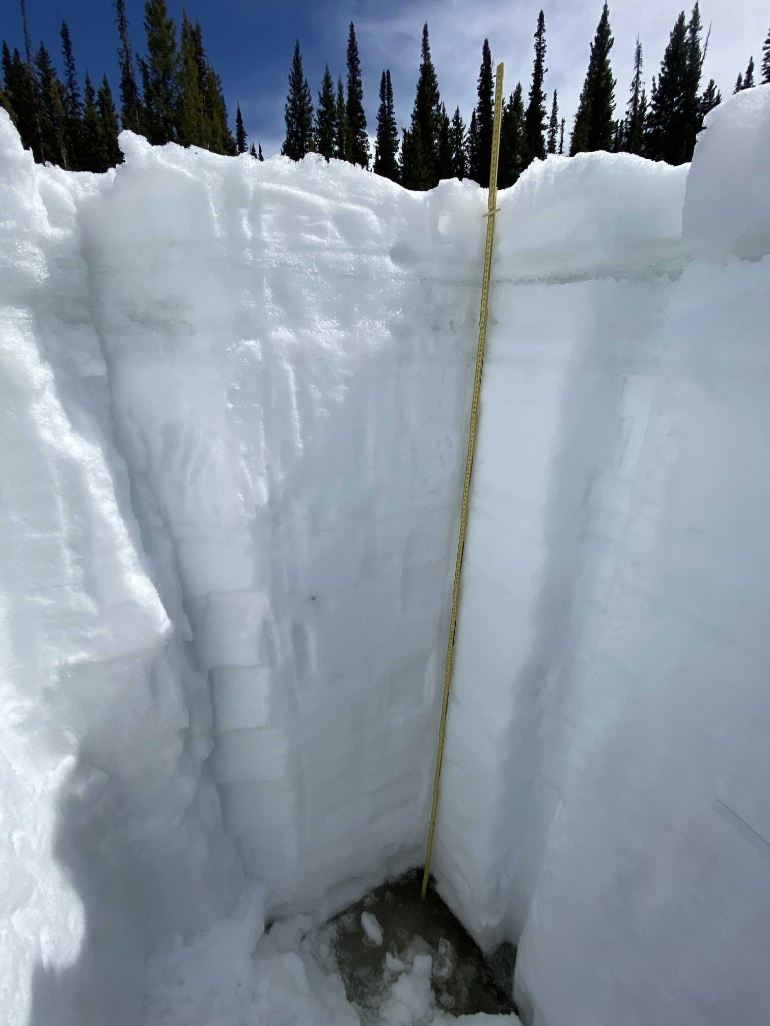
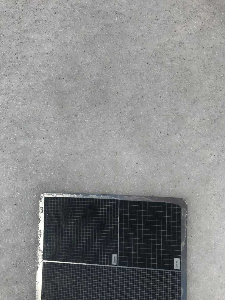
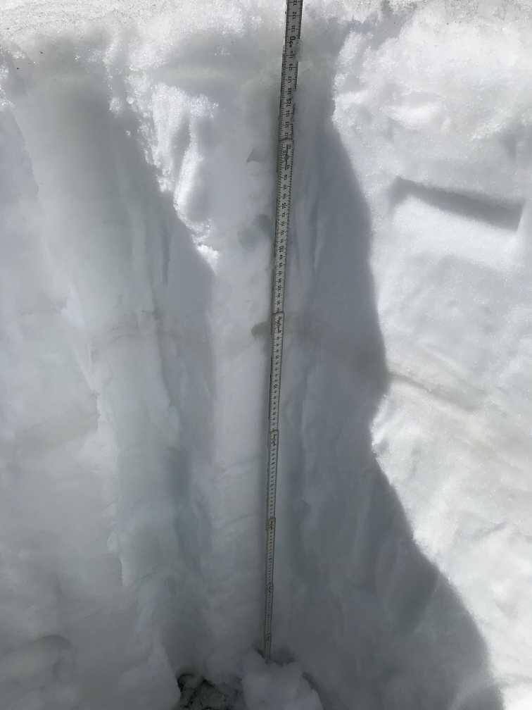
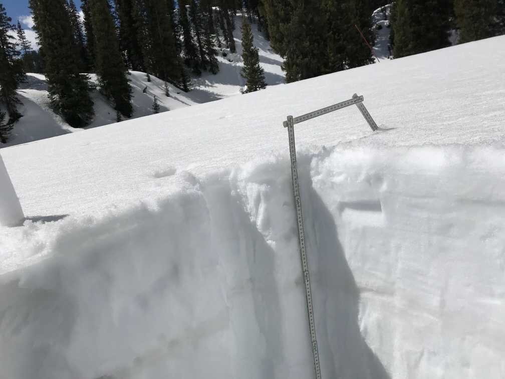
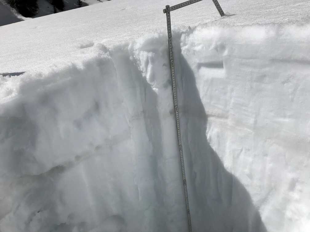
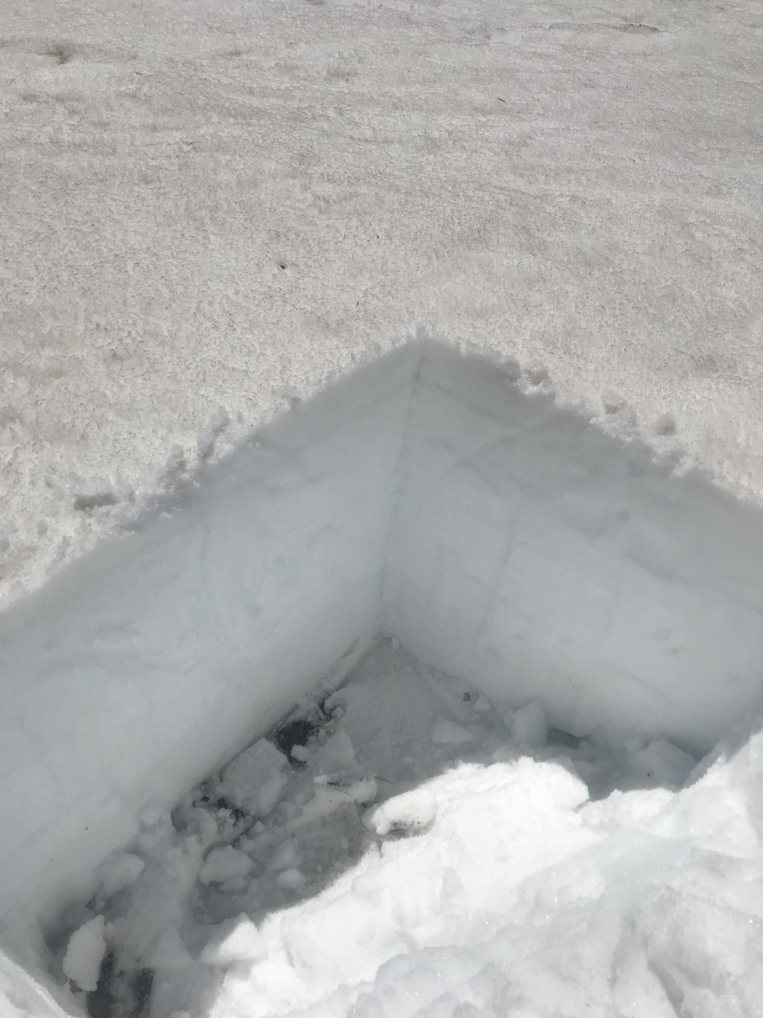
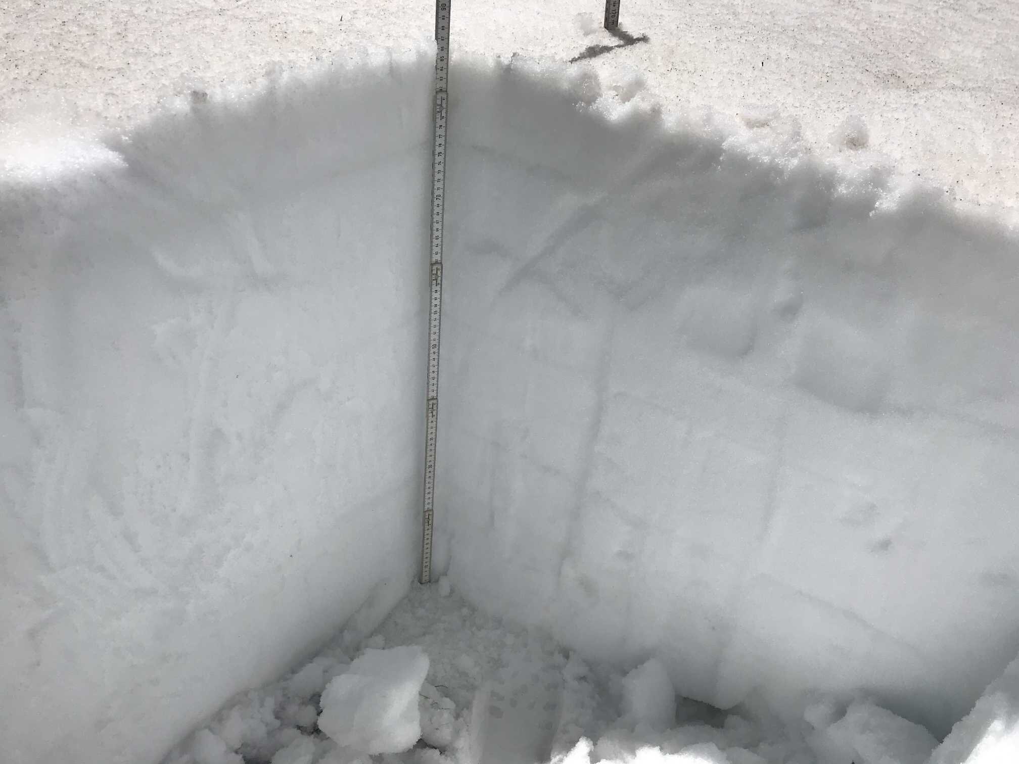
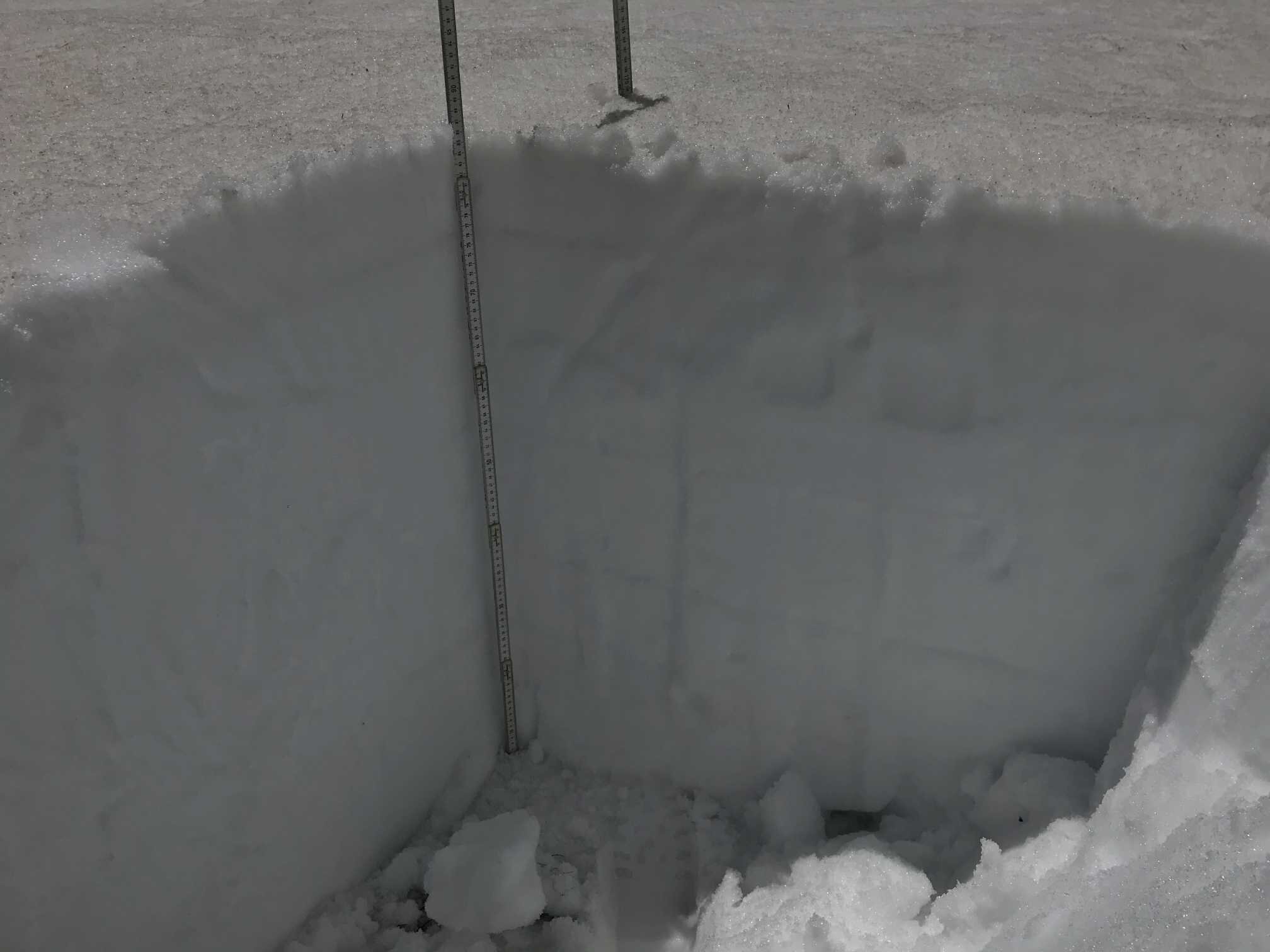
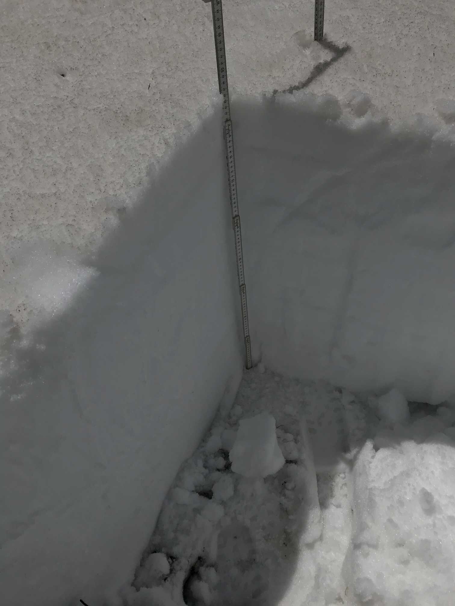
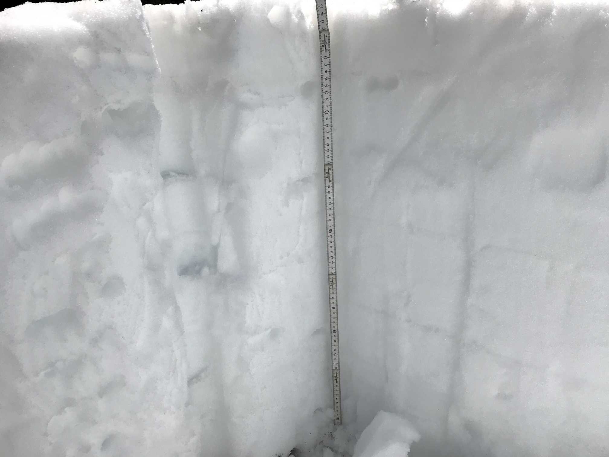
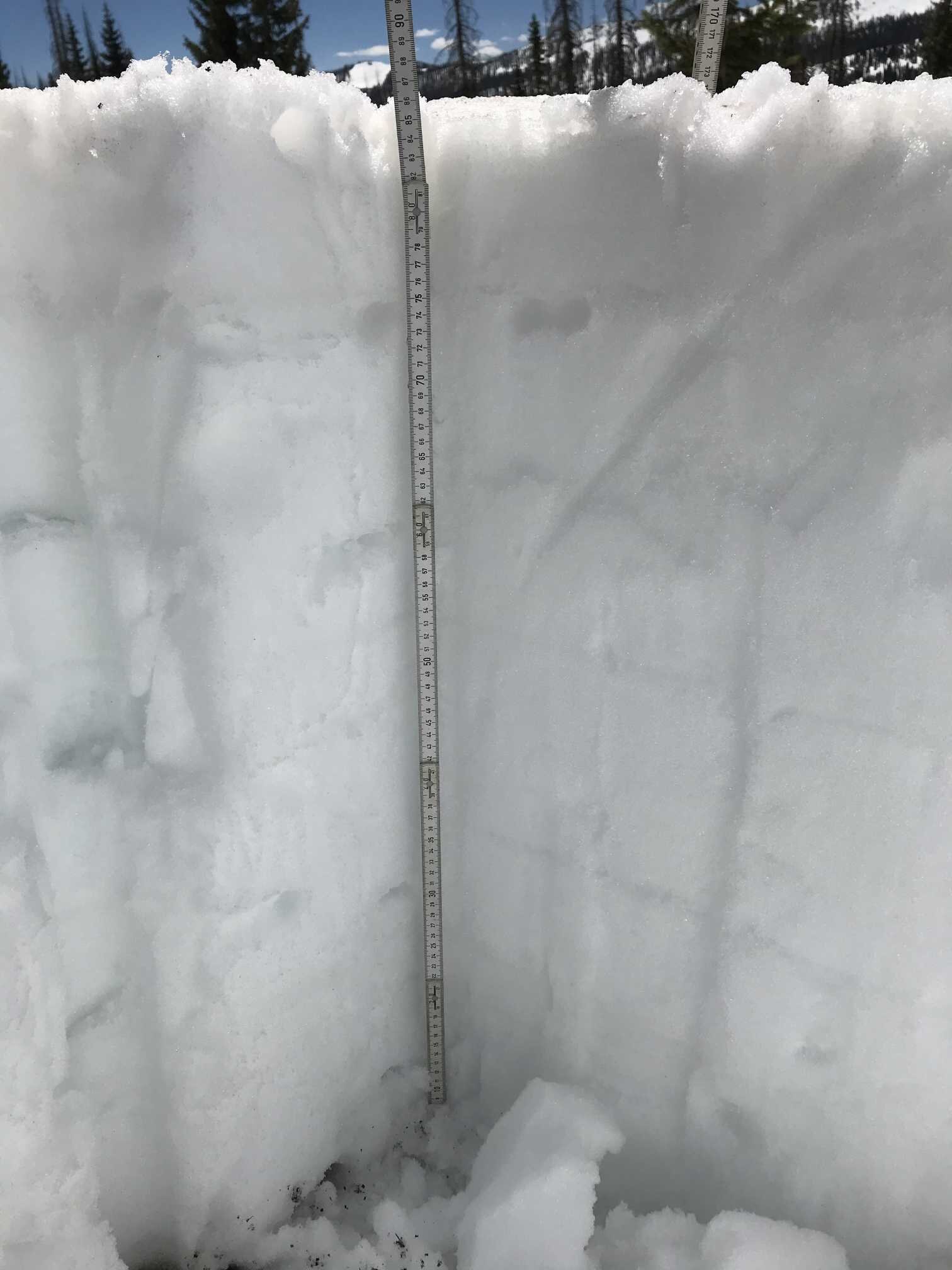
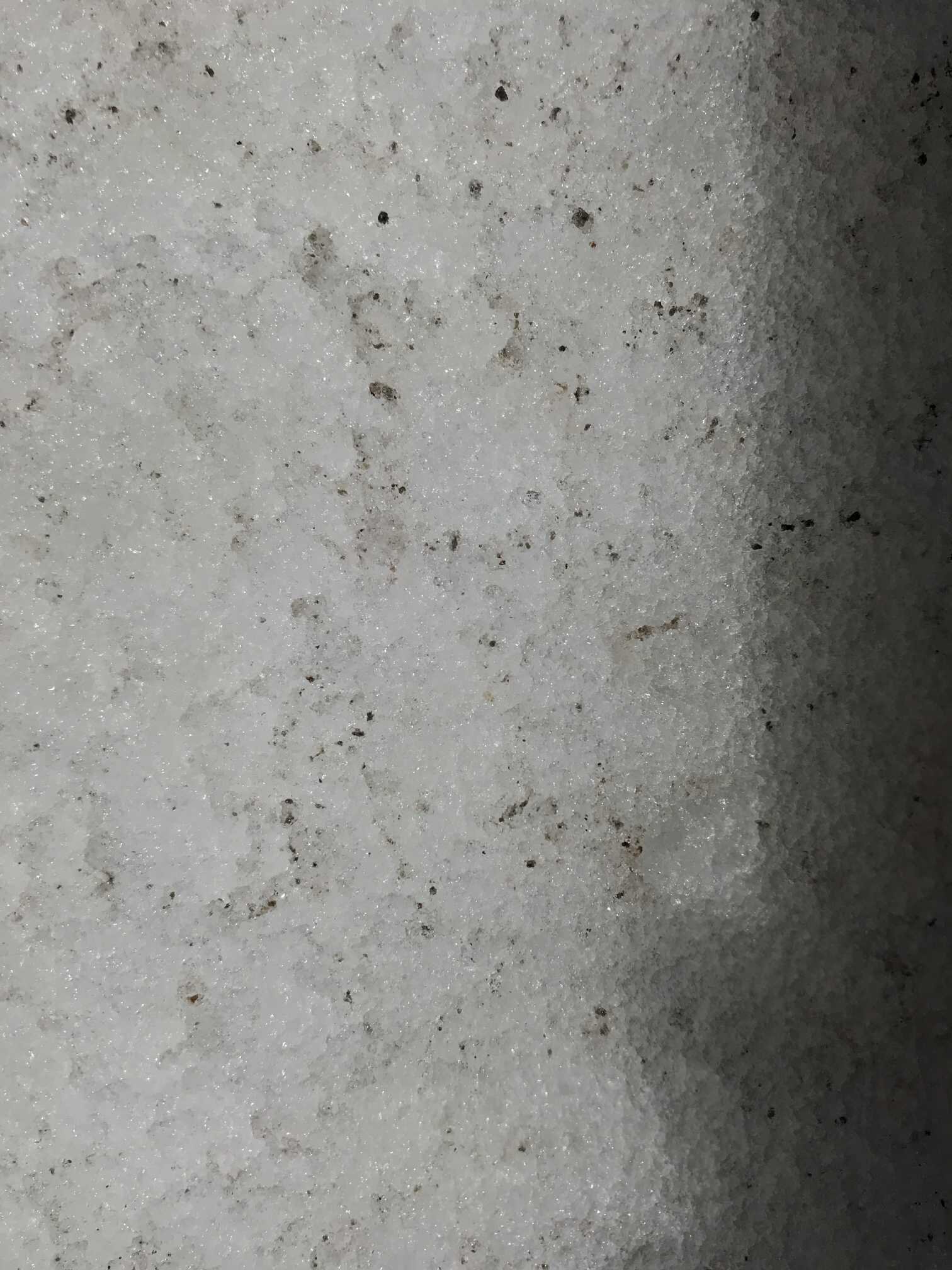
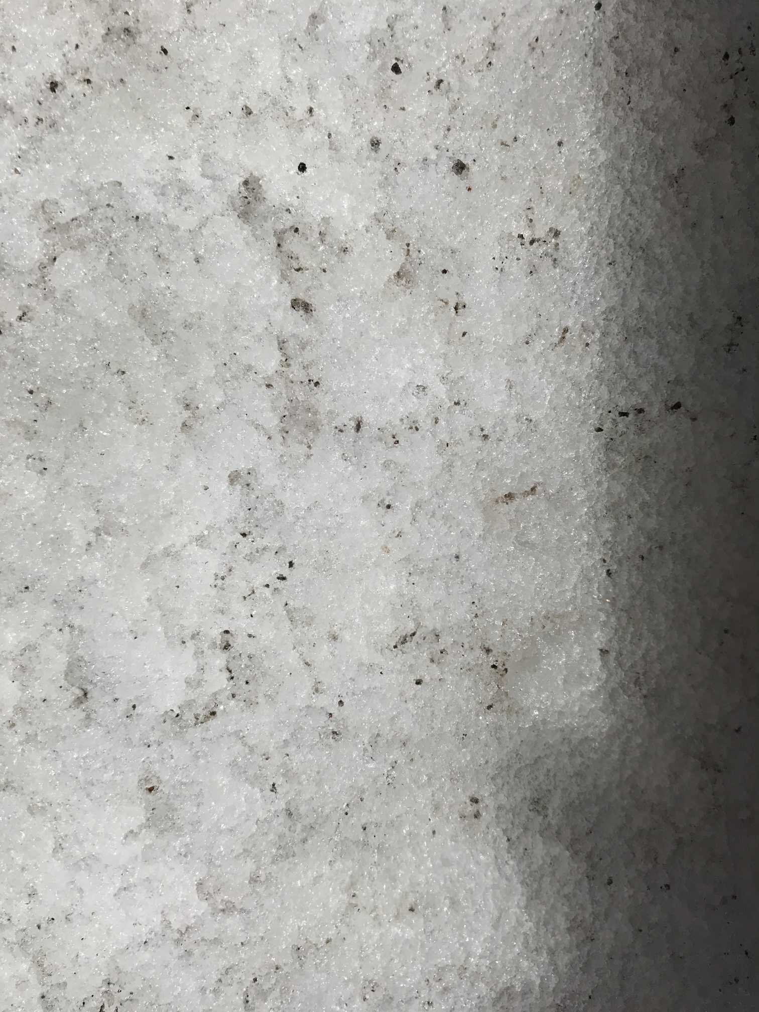
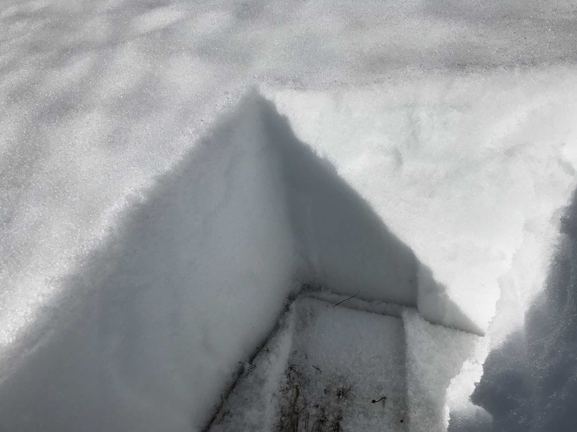
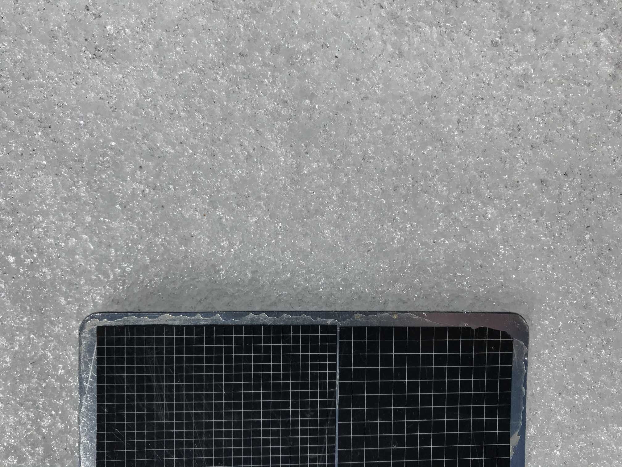
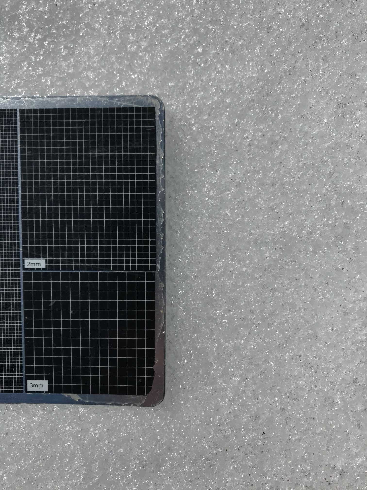
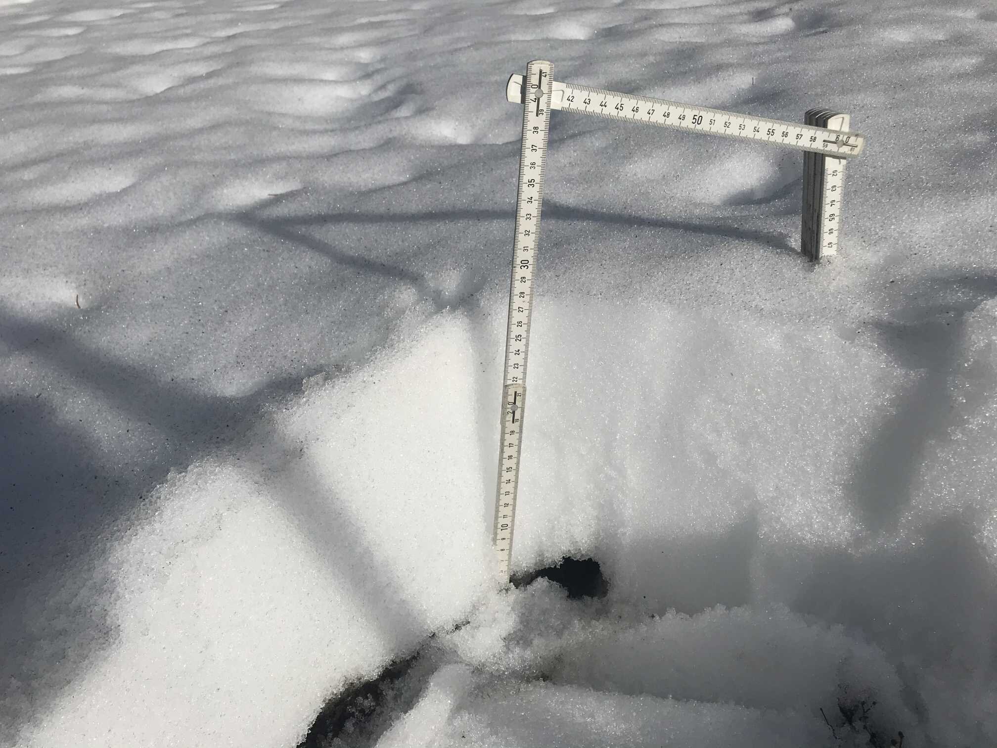
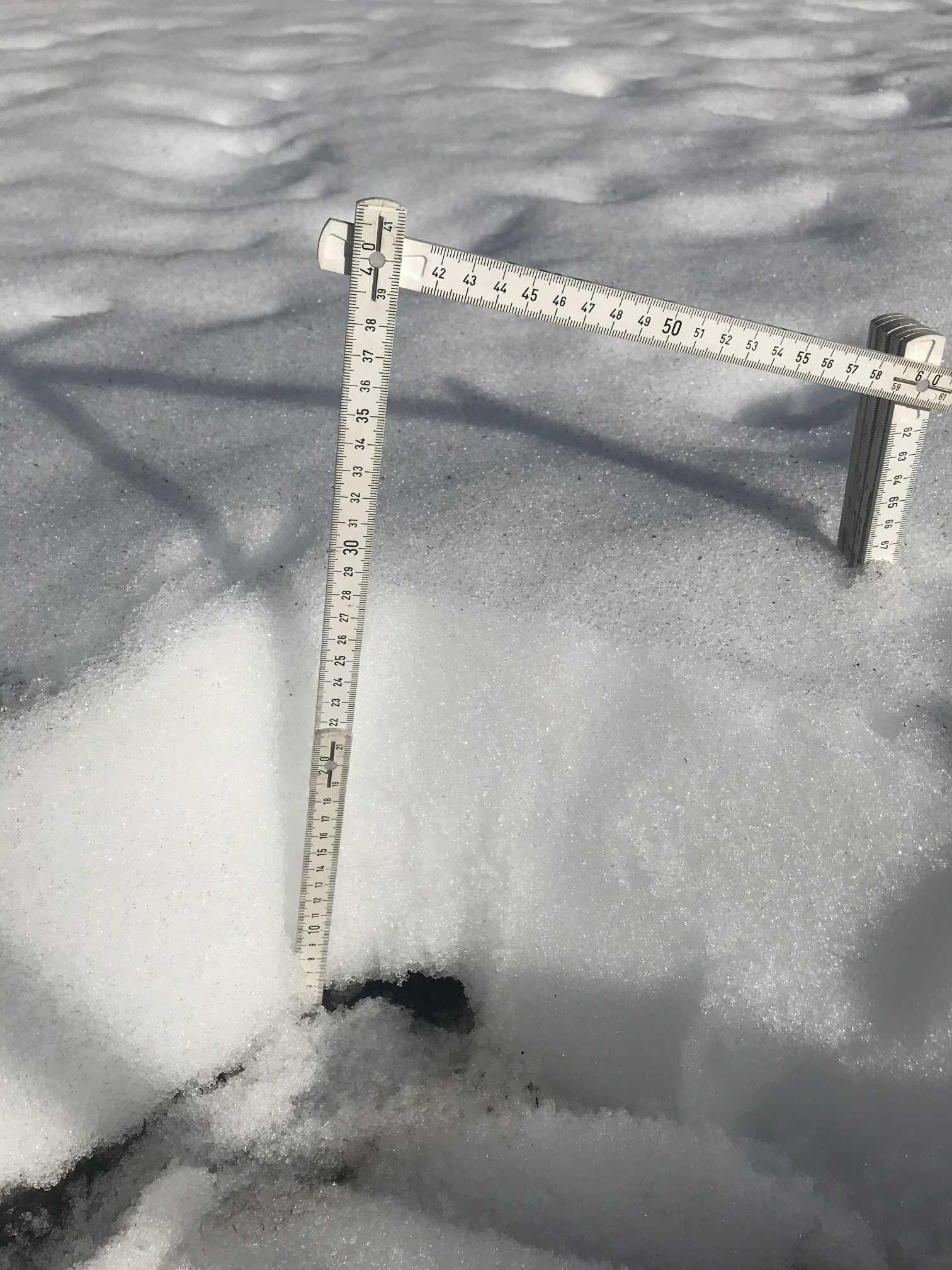
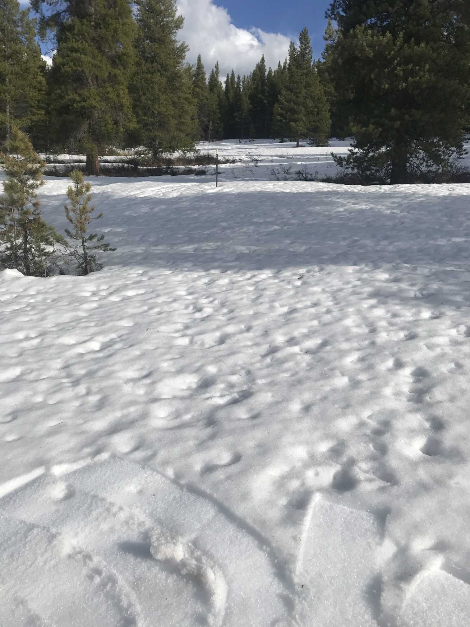
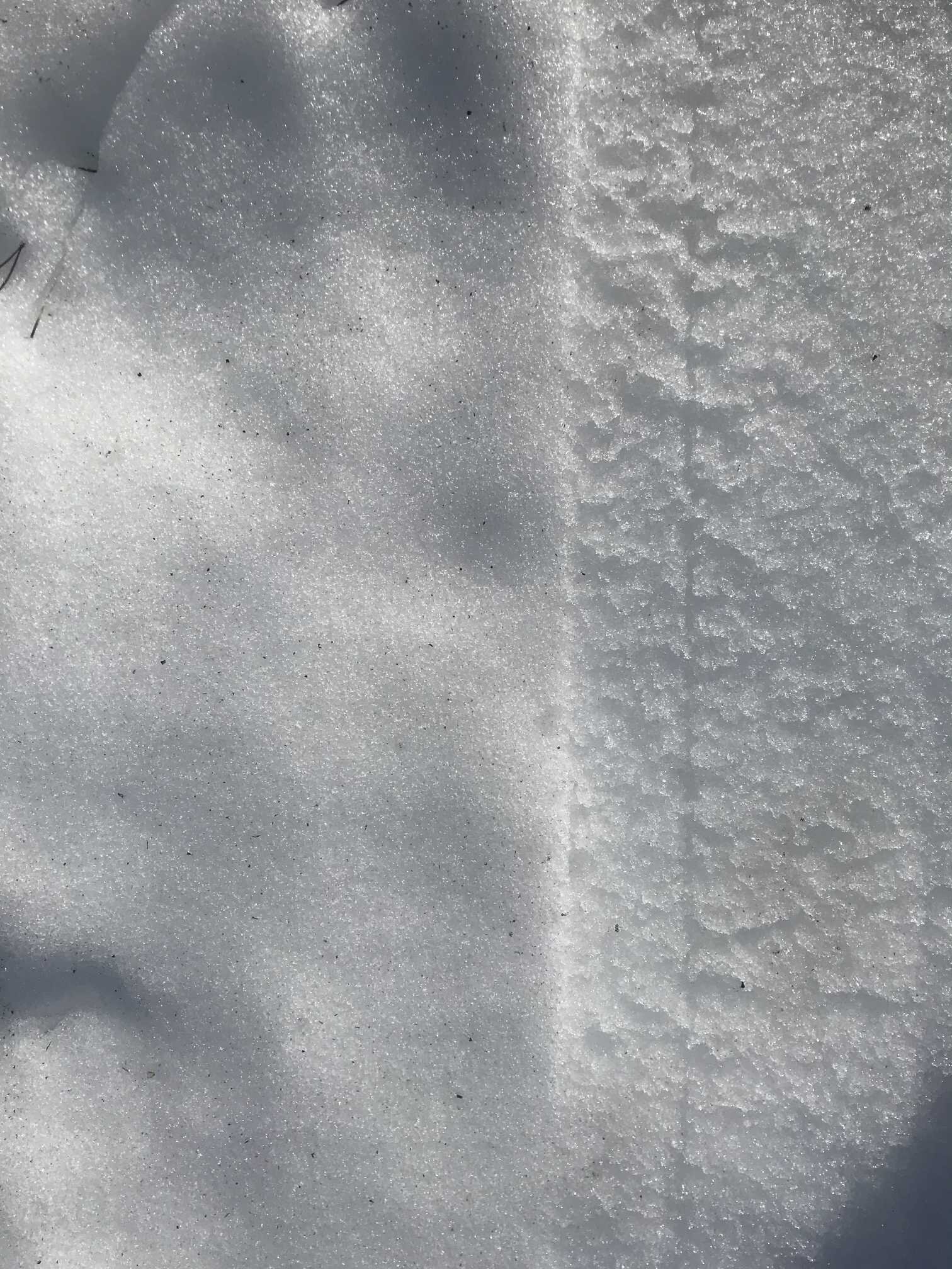
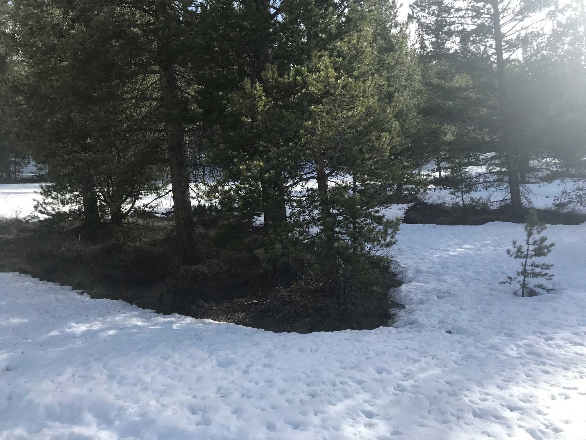
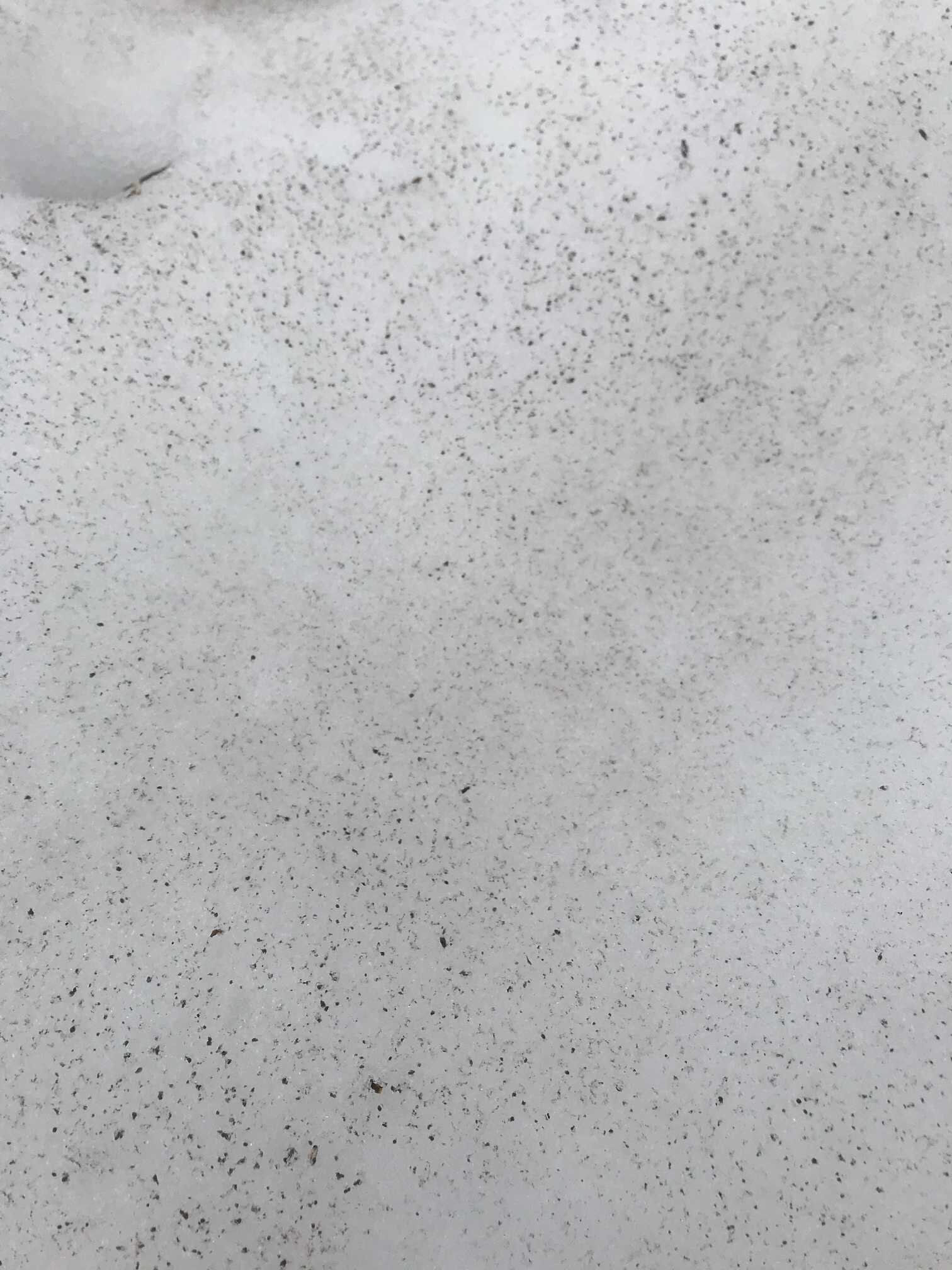
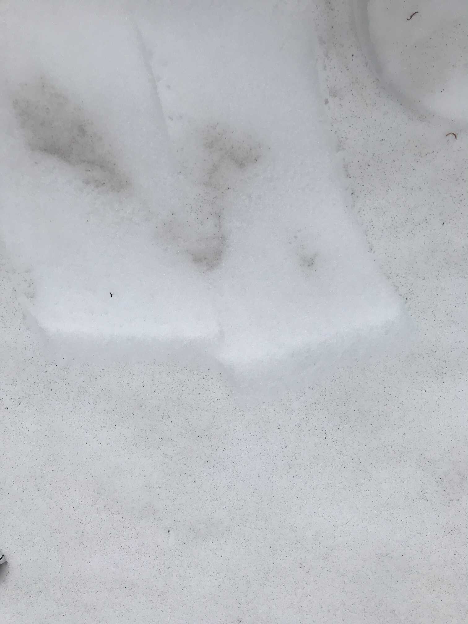
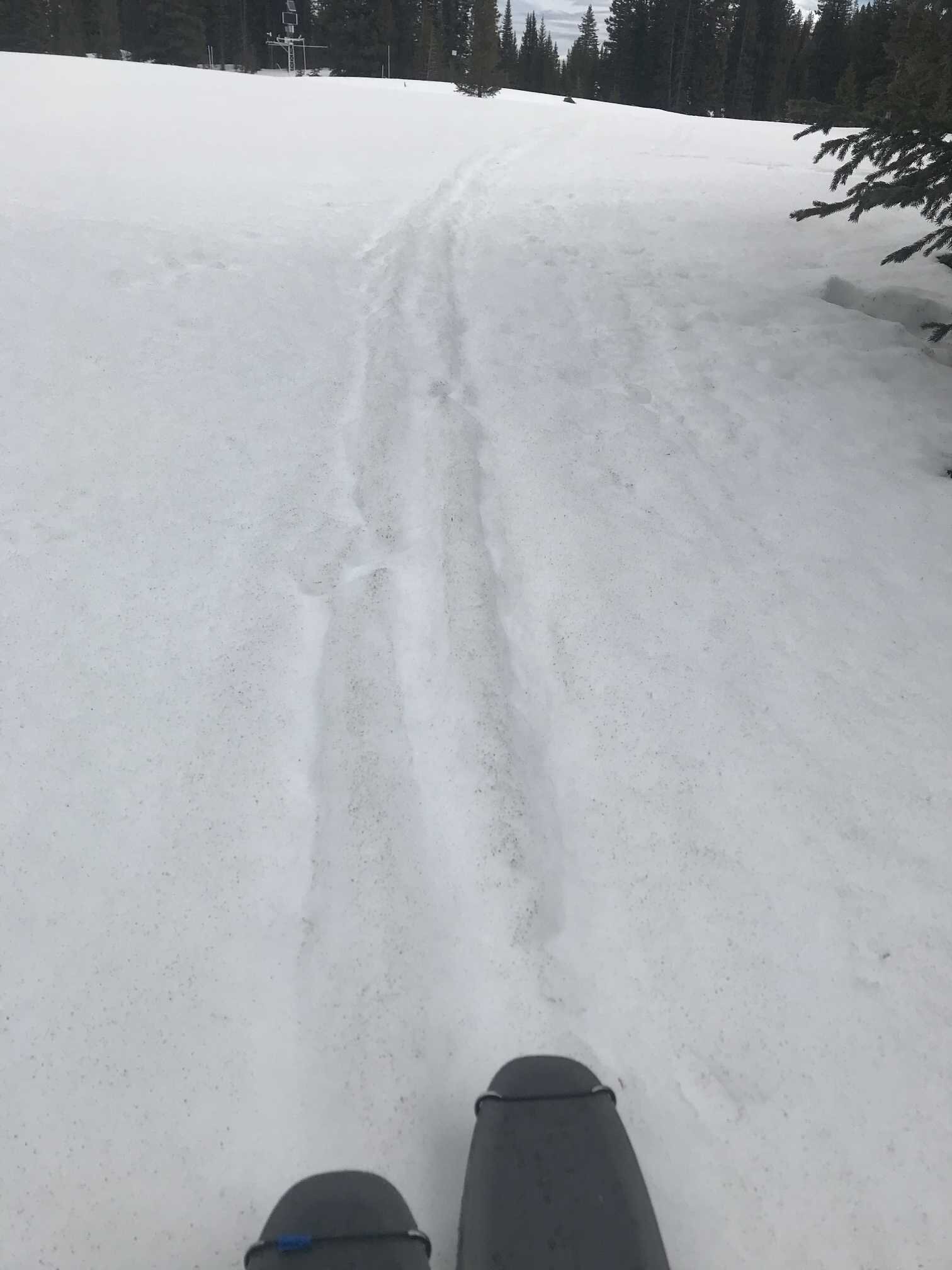
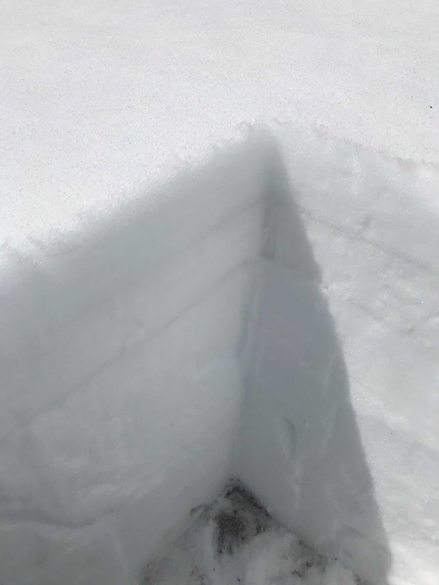
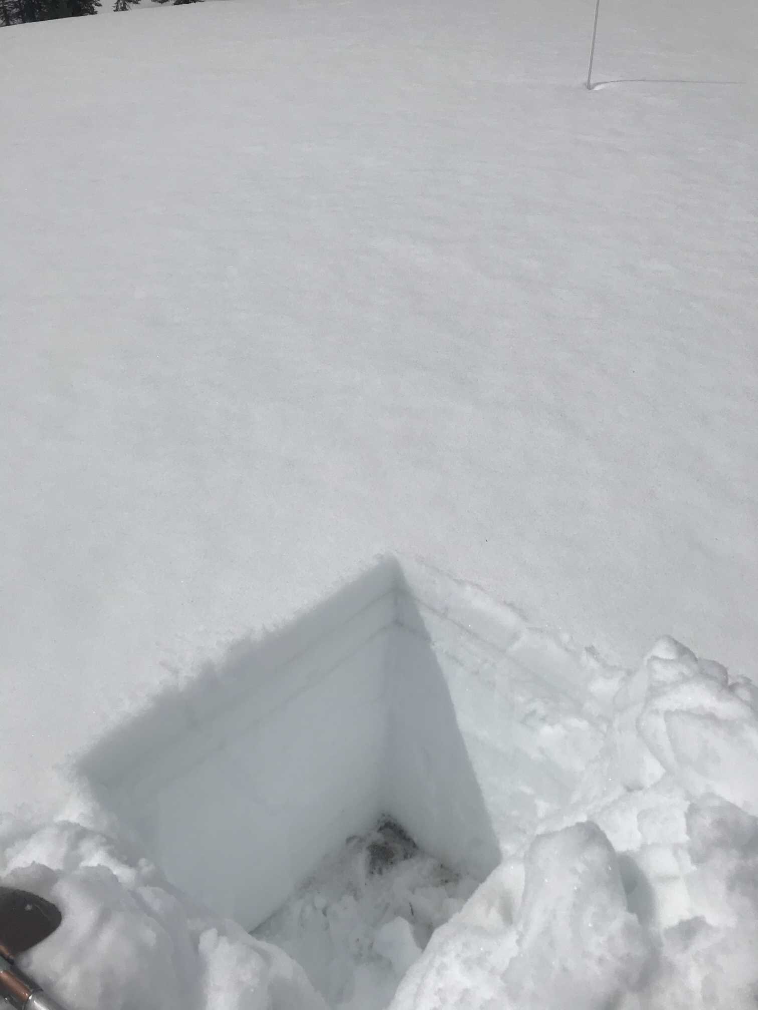
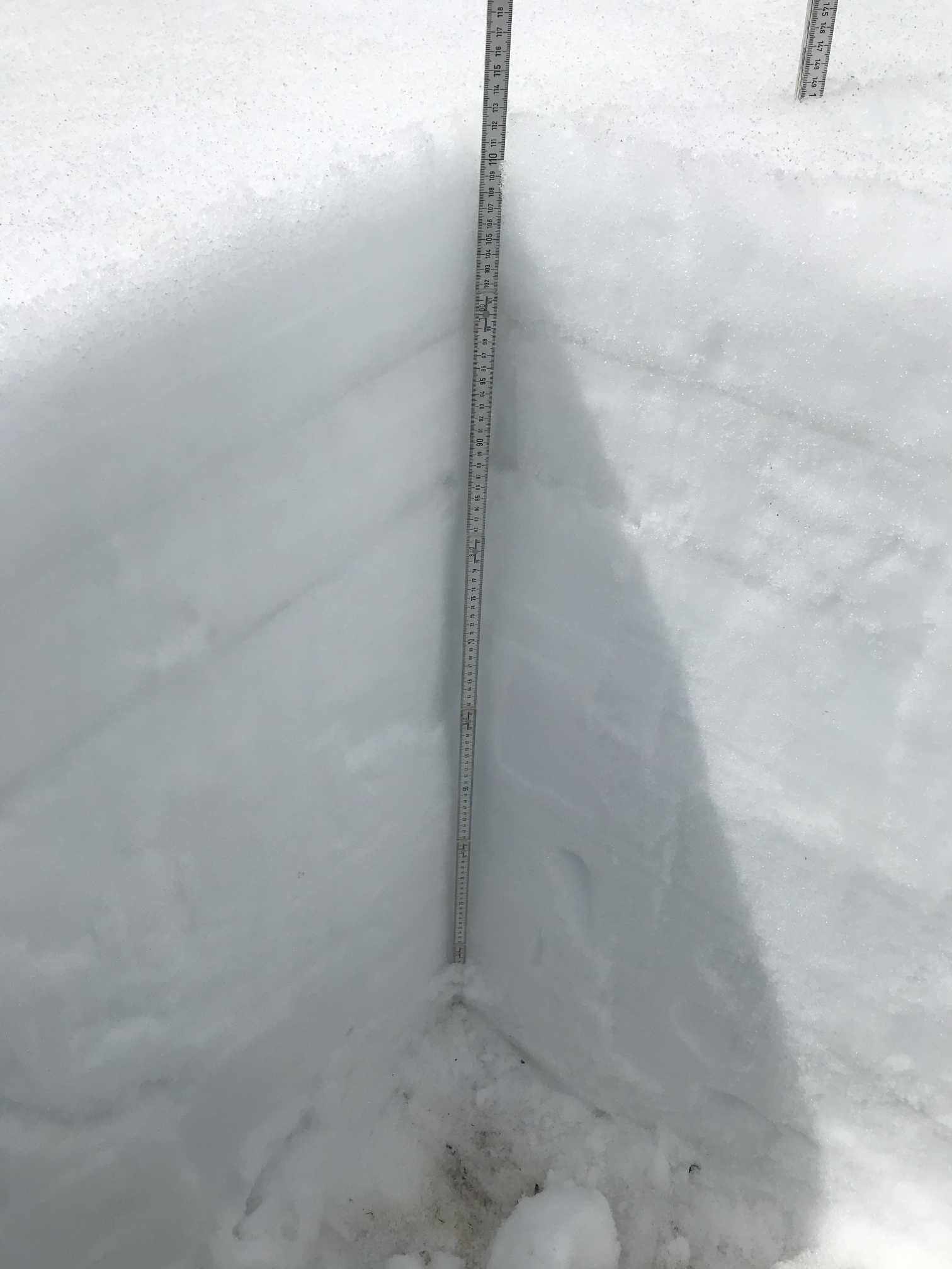
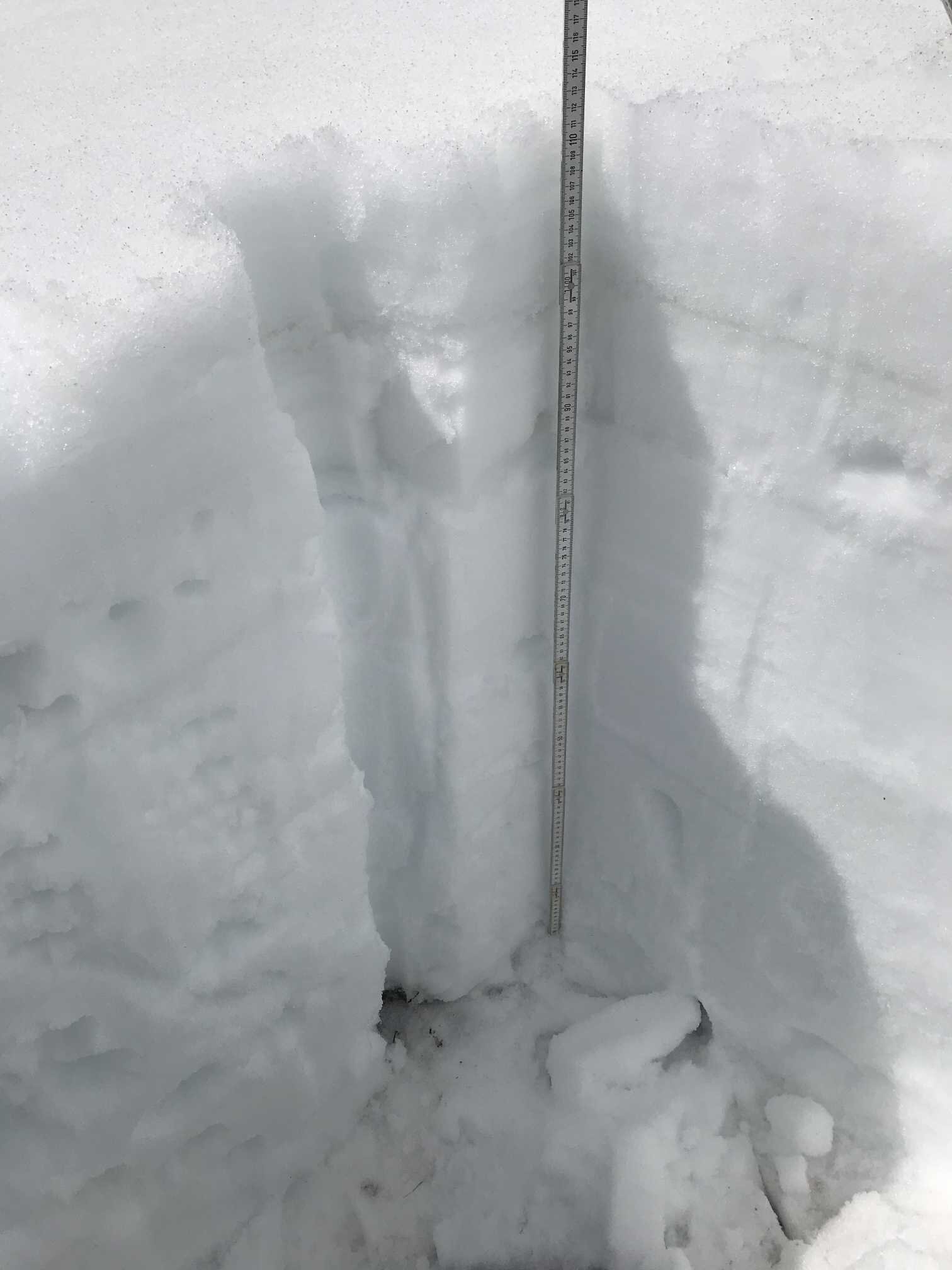
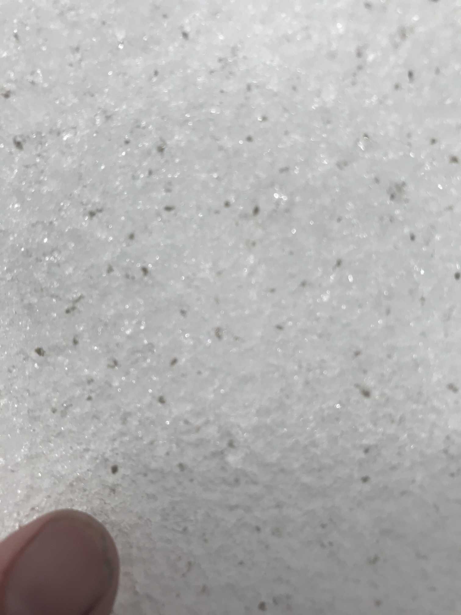
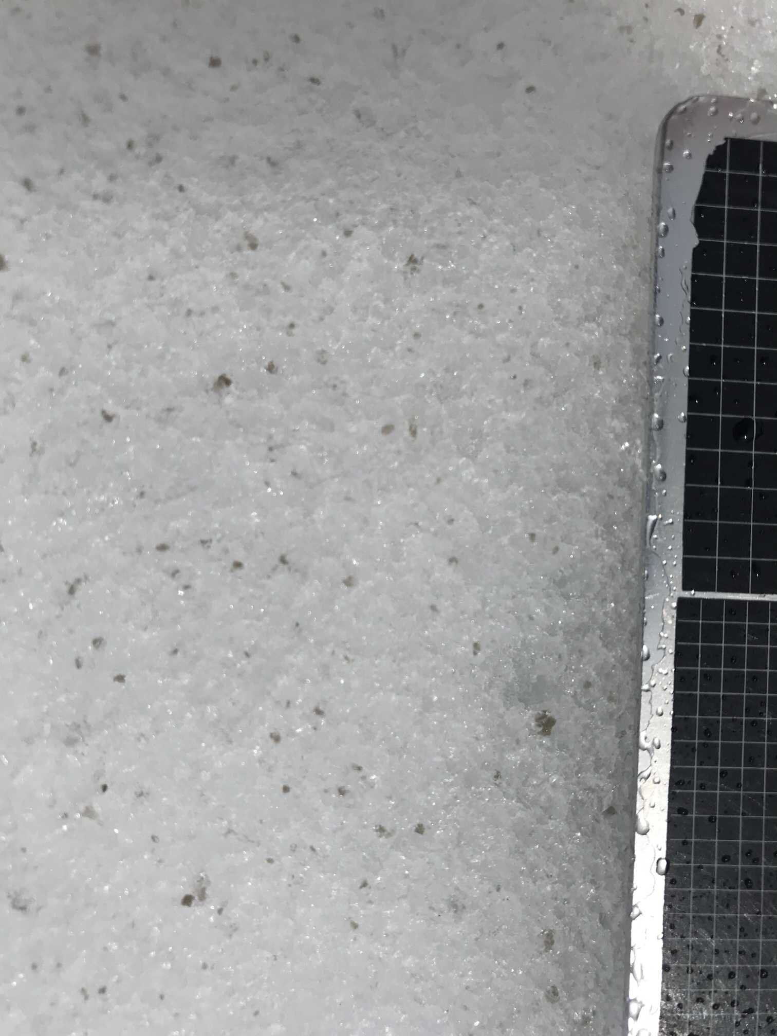
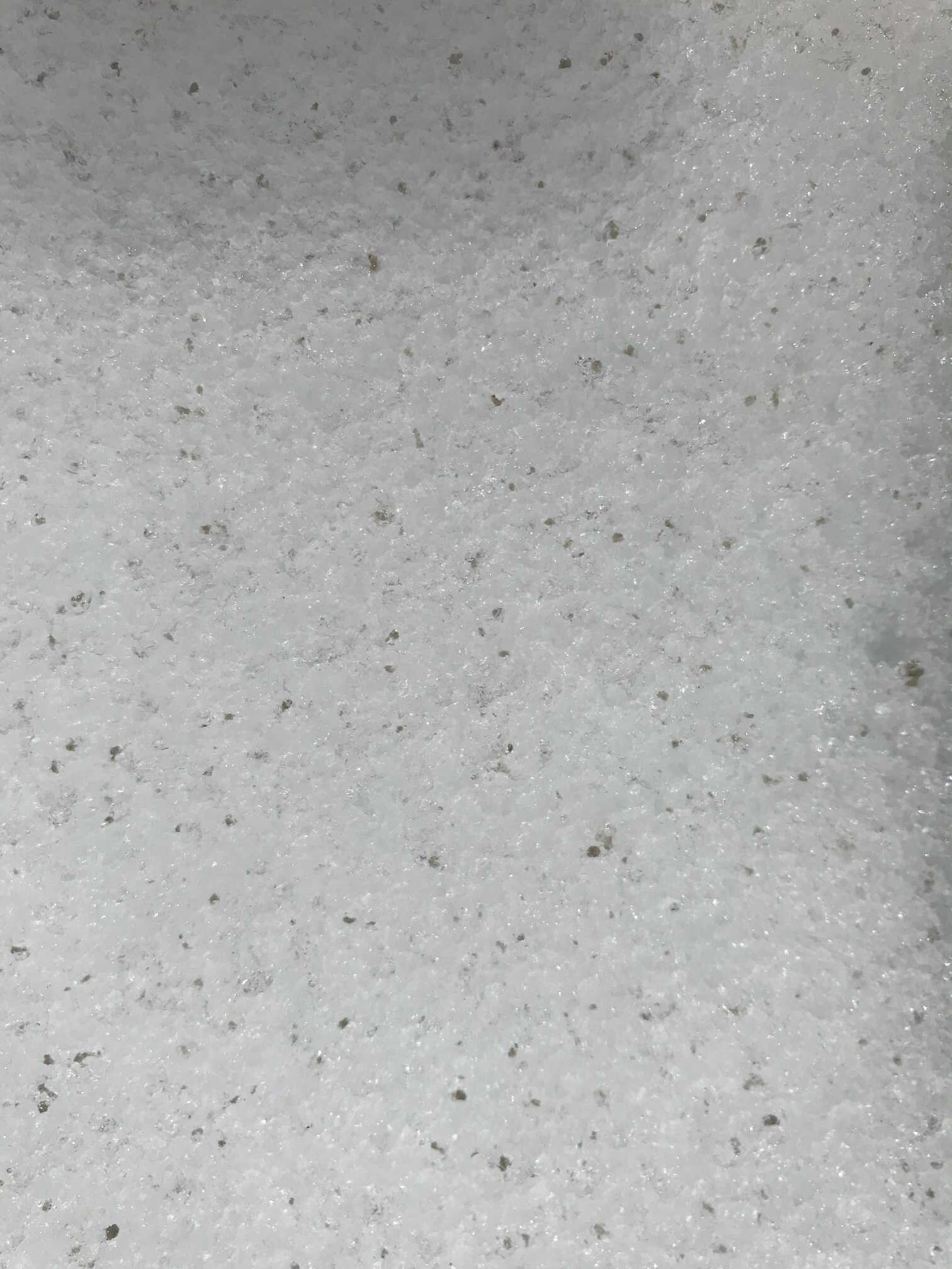
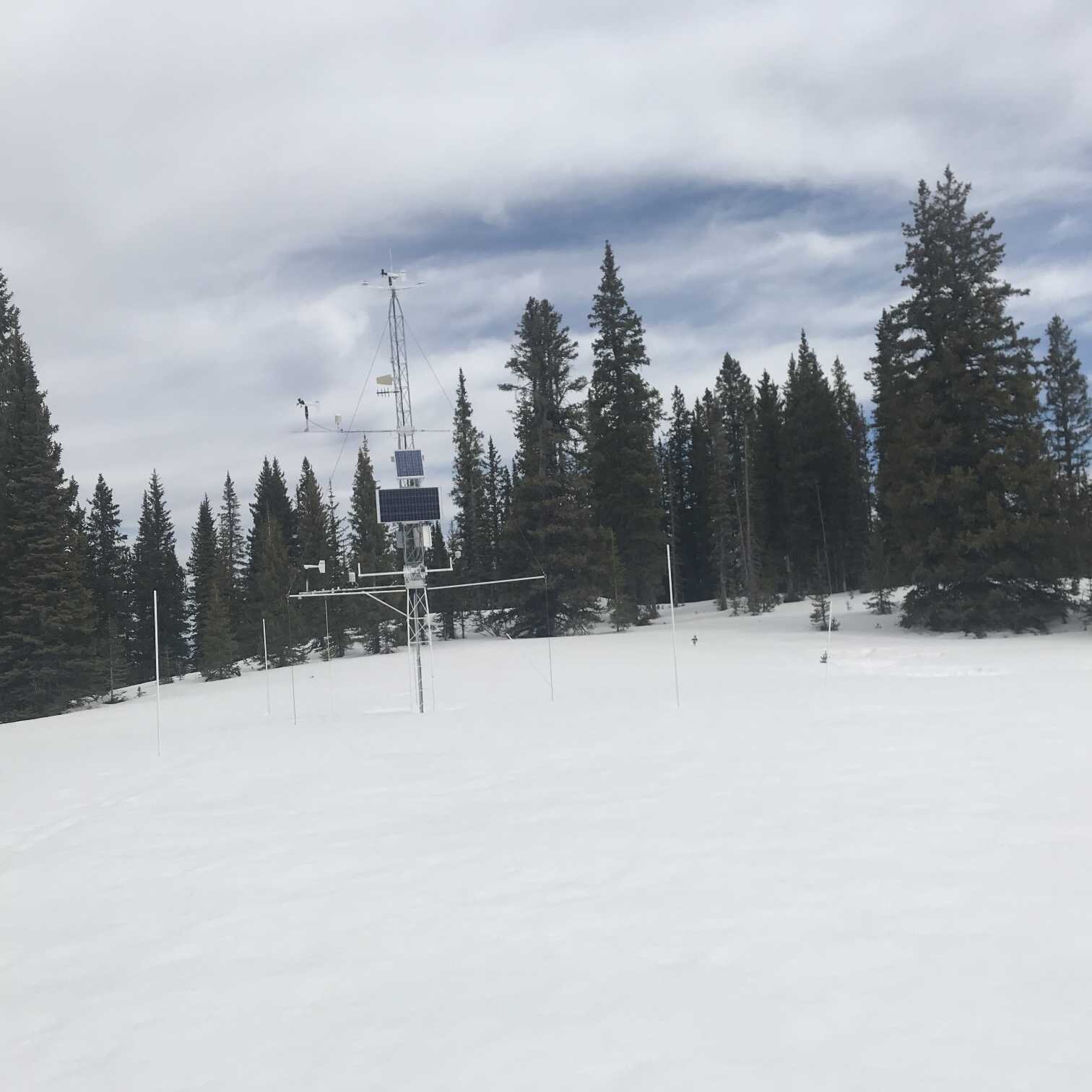
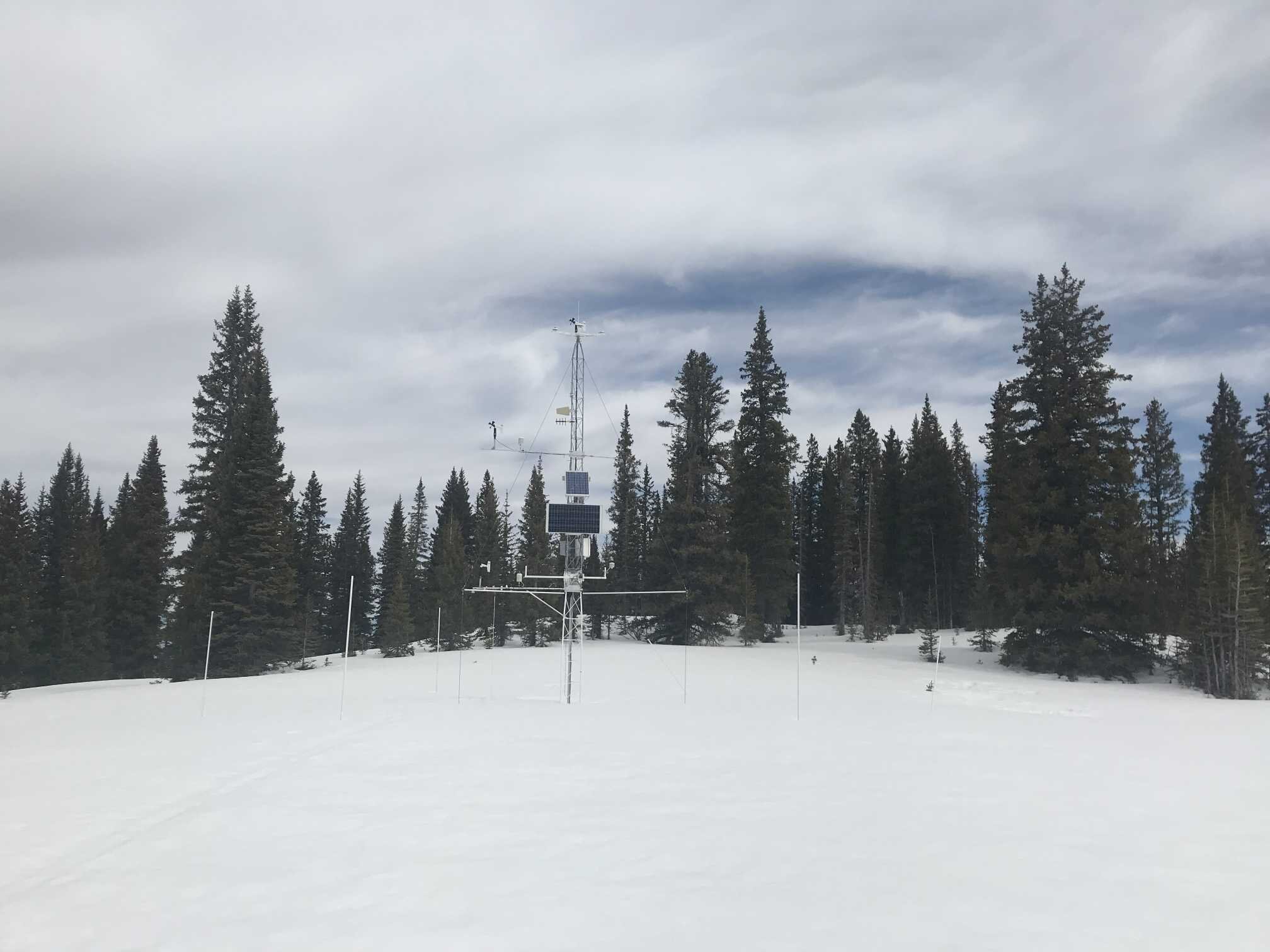
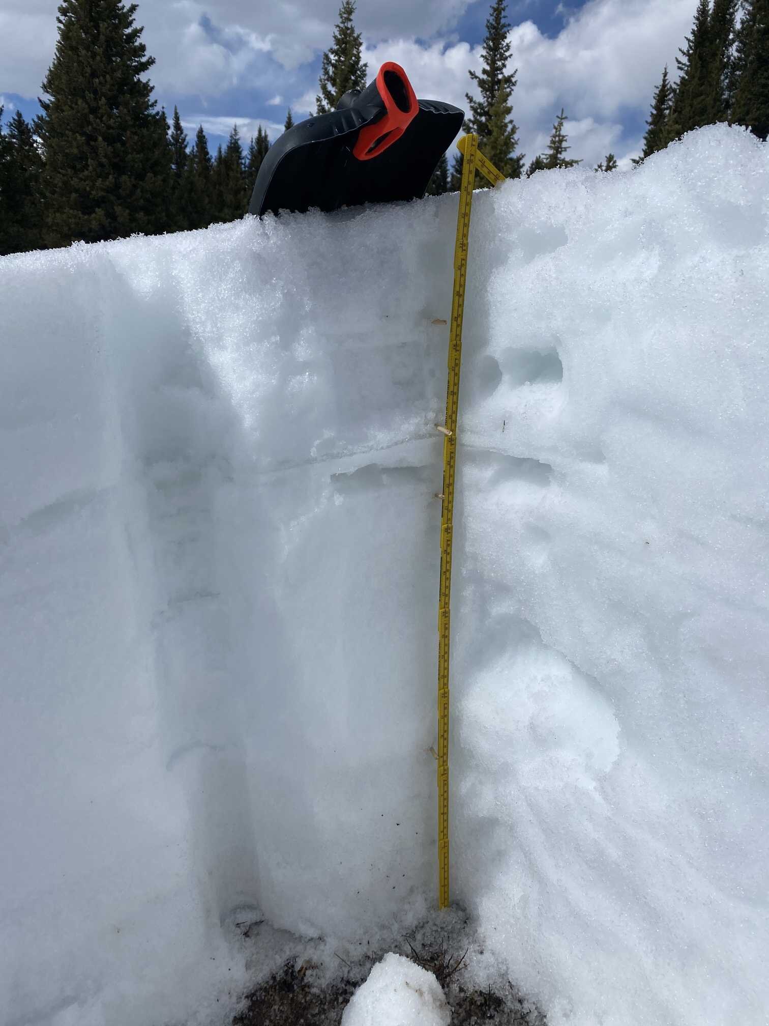
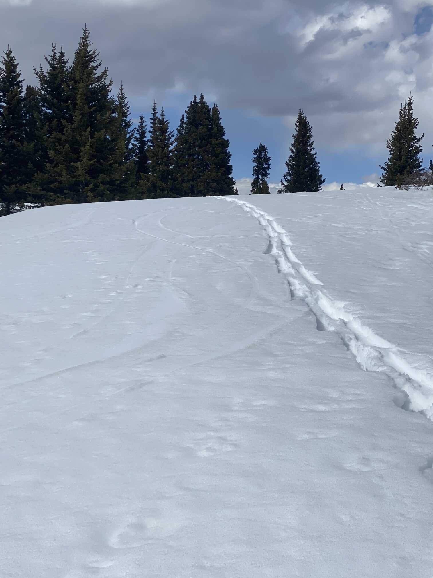
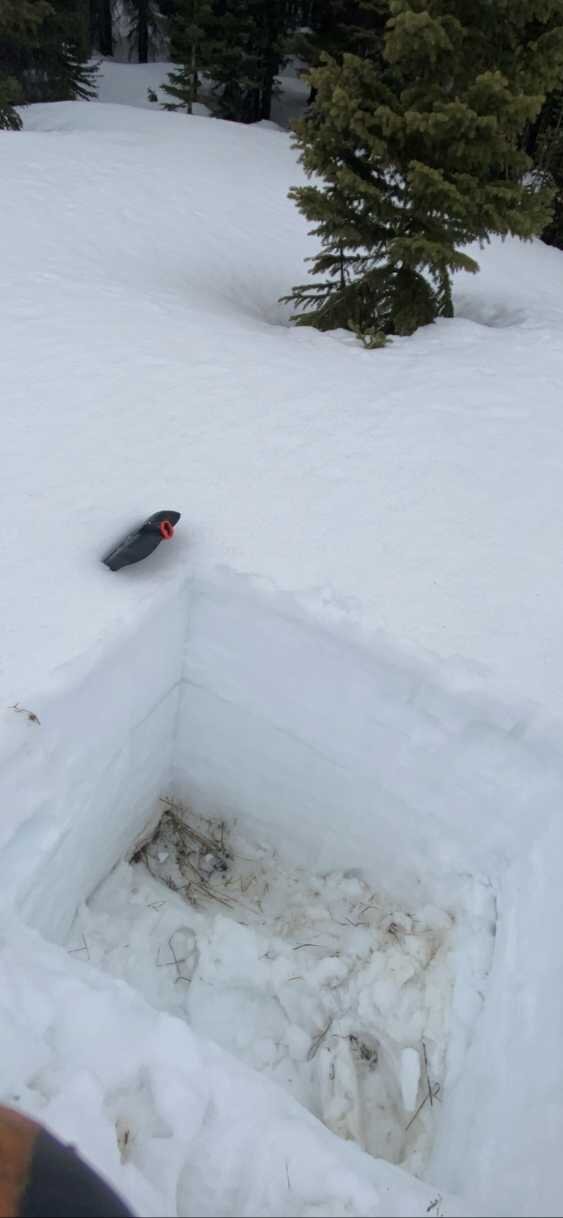
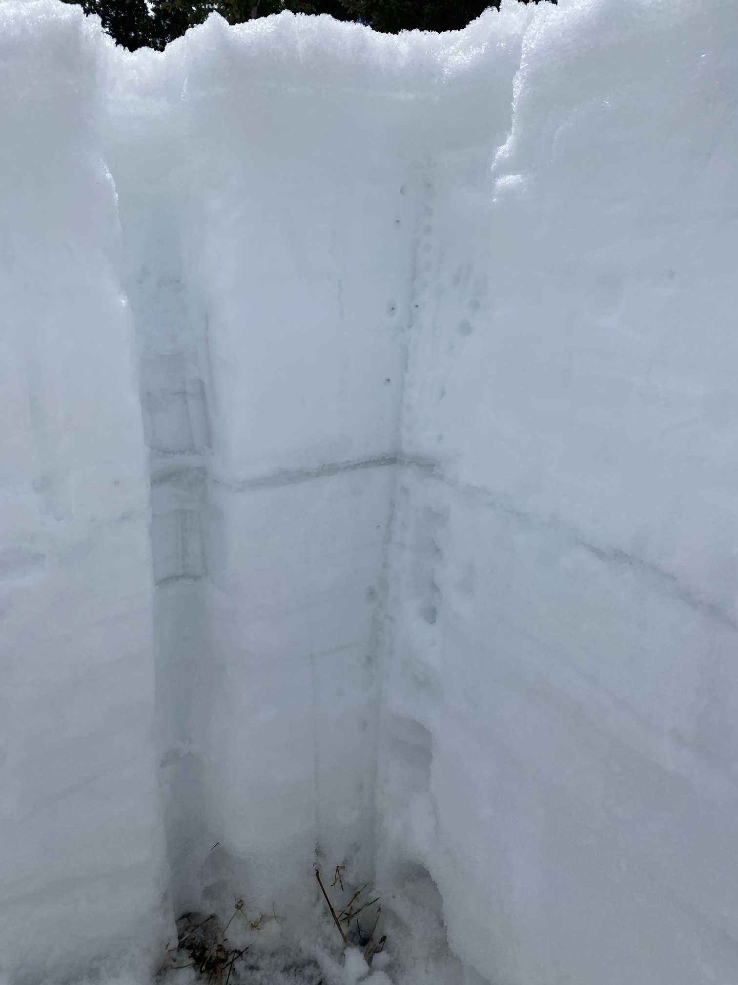
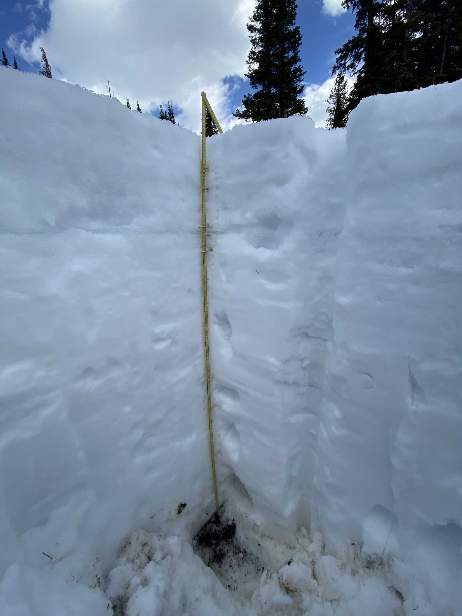
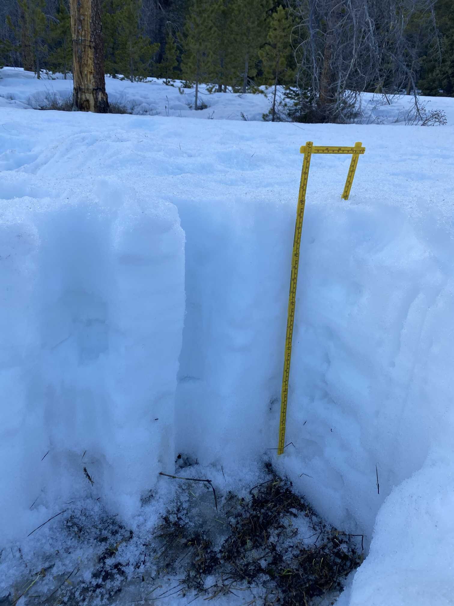
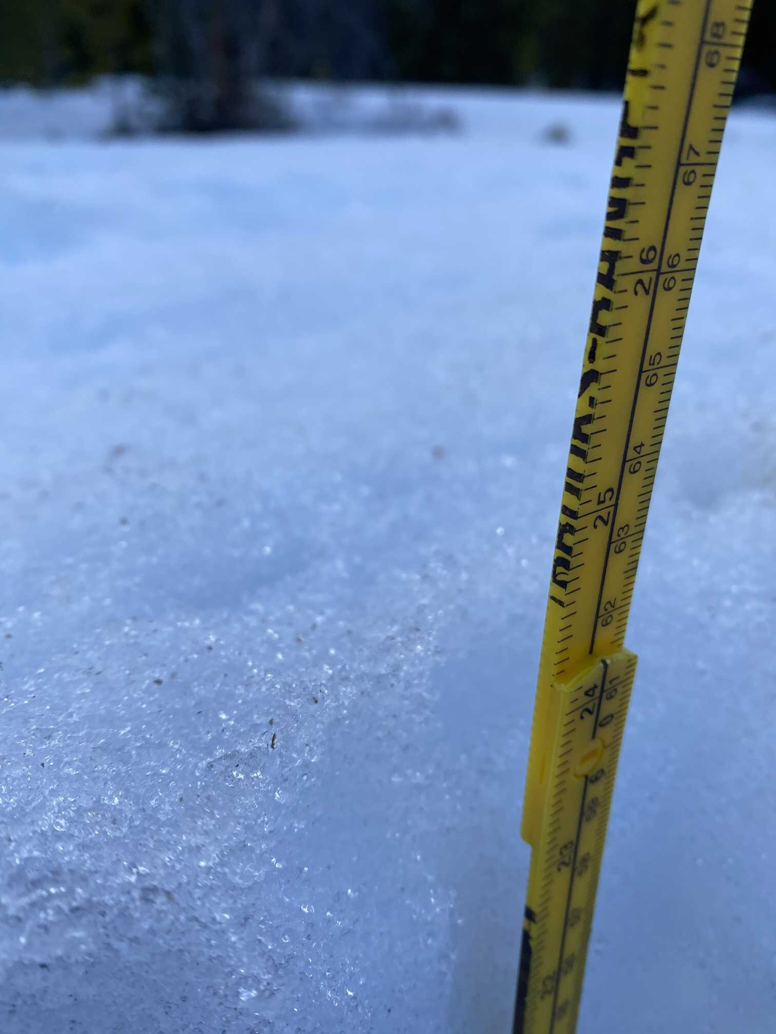
The snowpack at Swamp Angel now has 4.4’ snowdepth and 22.6” of SWE. We have lost 4.4” SWE since April 13. Dust from D2/D3 has consolidated further making for a very obvious dusty surface. There is a good amount of local forest debris that is very apparent in ski tracks and eddies across the landscape (see pictures). Moderate dust event D1 is currently 1’ below the surface. Once this merges with the dust at the surface it will assuredly push overall dust severity in the “moderate” category for the remainder of the season.
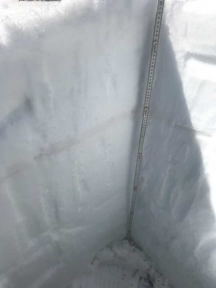
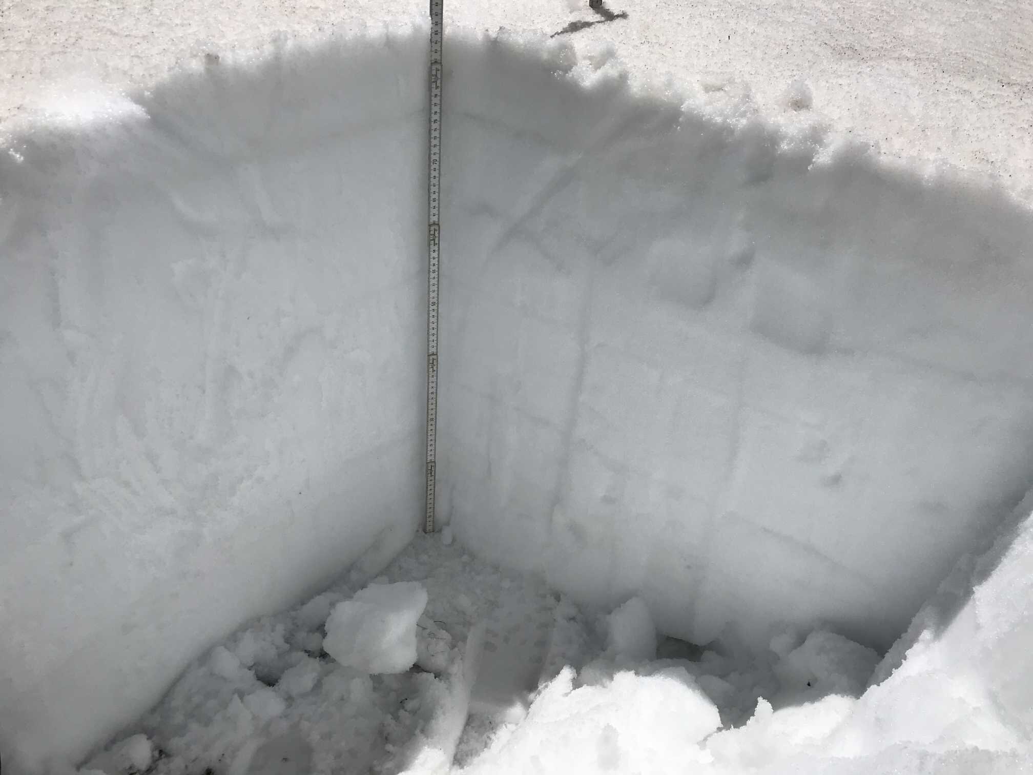
Snowpack melting at higher elevations is also moving along quickly, last week at SBSP (12,200’) half the snowpack was isothermal, the other half about -1.2 degrees Celsius. Today (May 5) our observations showed an isothermal and wetted snowpack throughout. SWE at SBSP is 24.2”. D2/D3 is on the surface with D1 below the surface and there is 7.3” of SWE on top of D1.
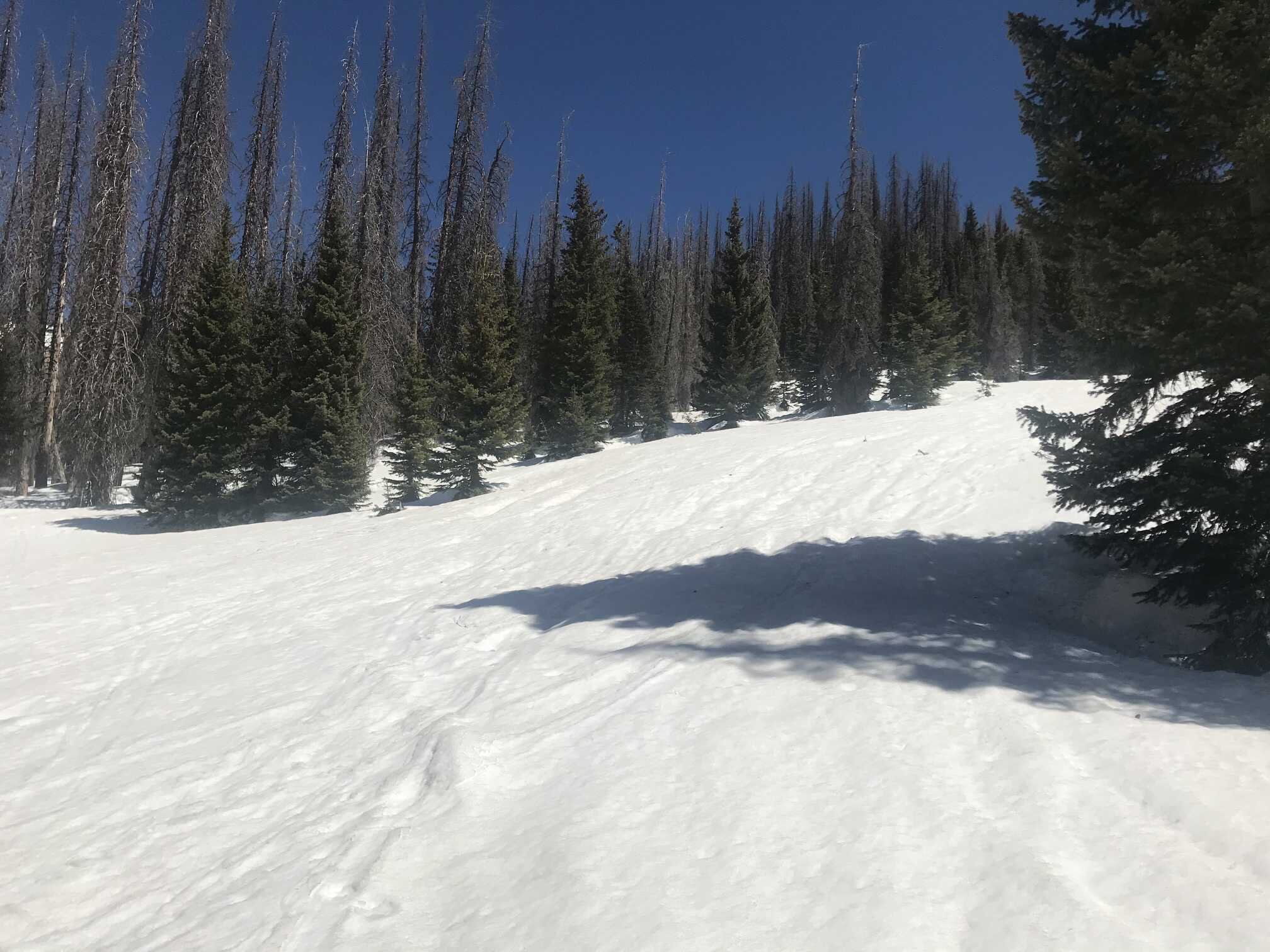
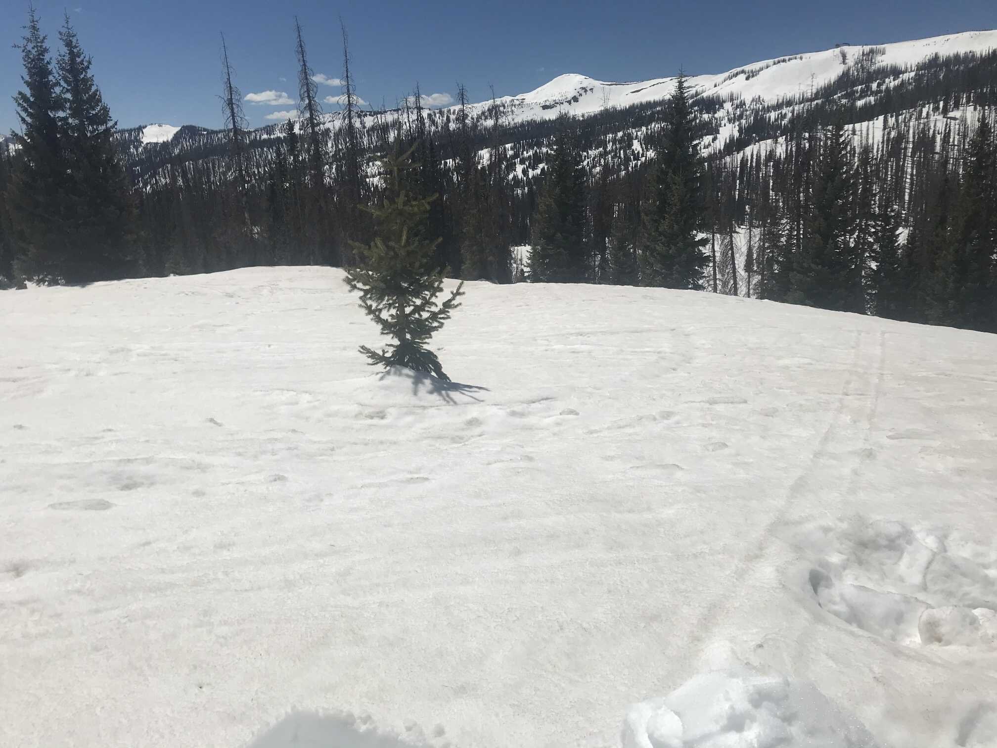
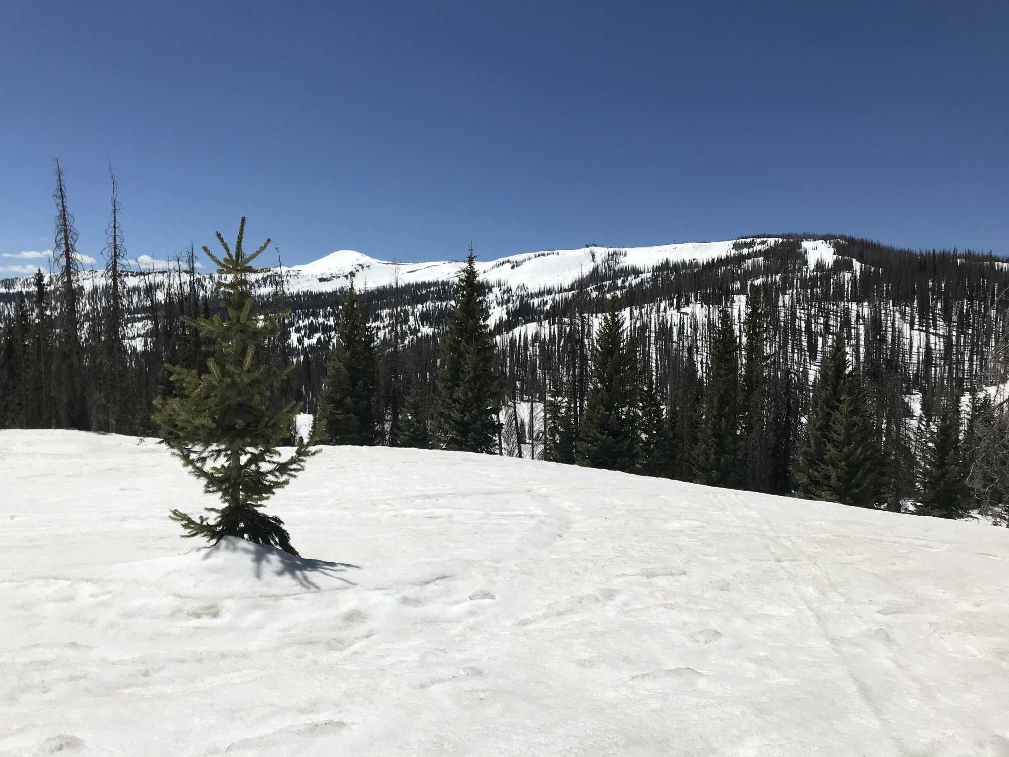
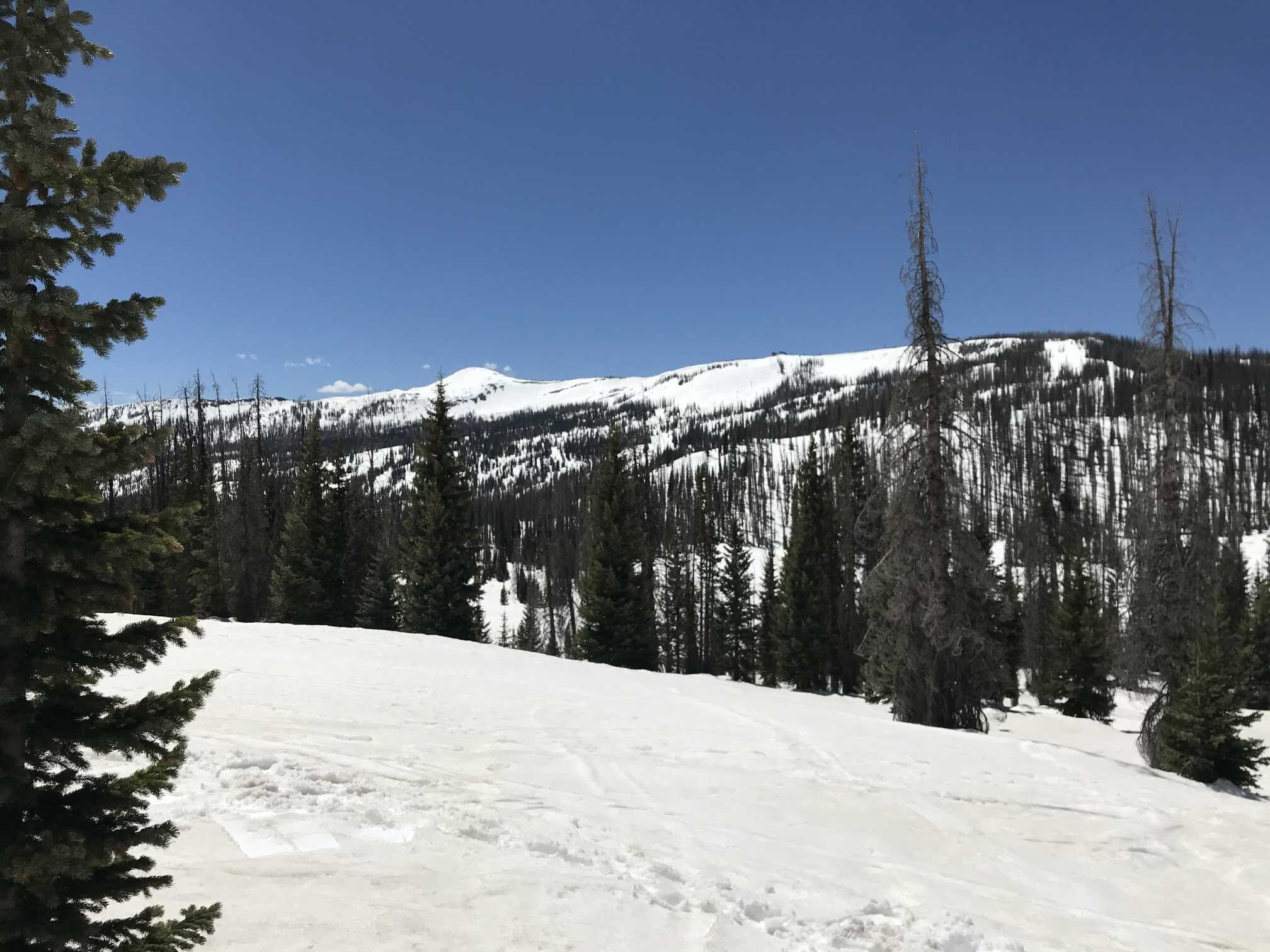
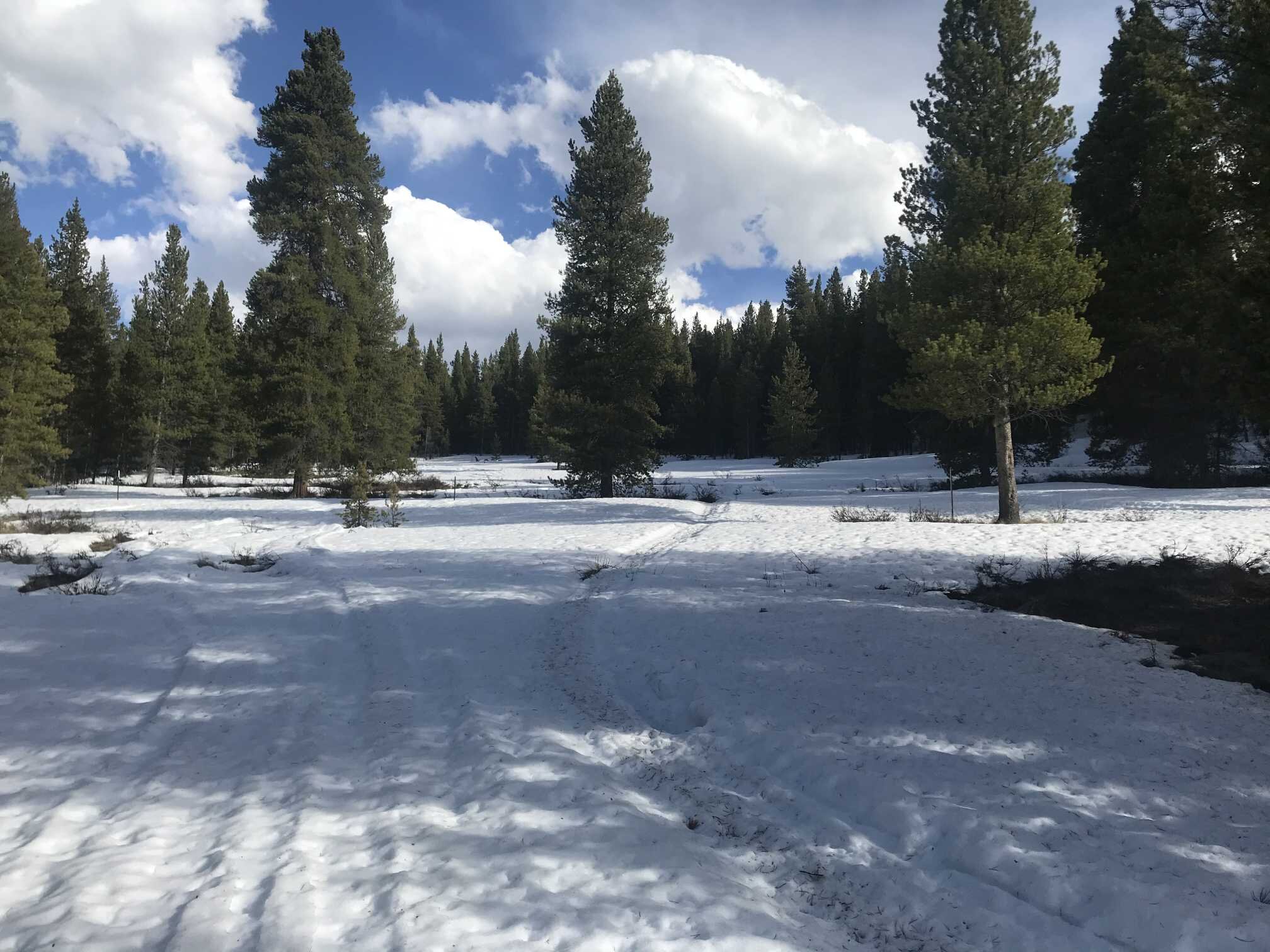
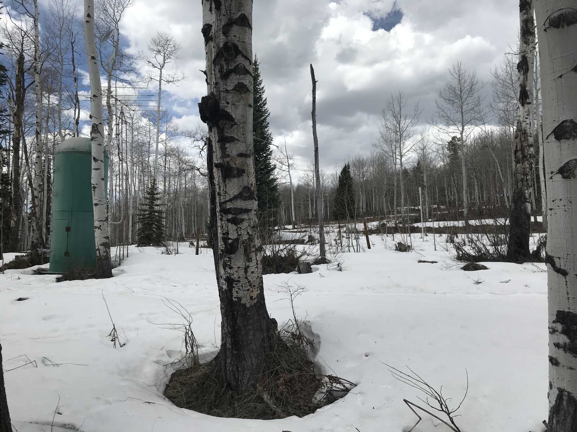
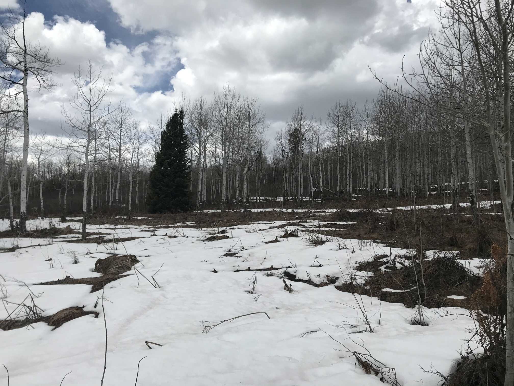
Wolf Creek (May 1)
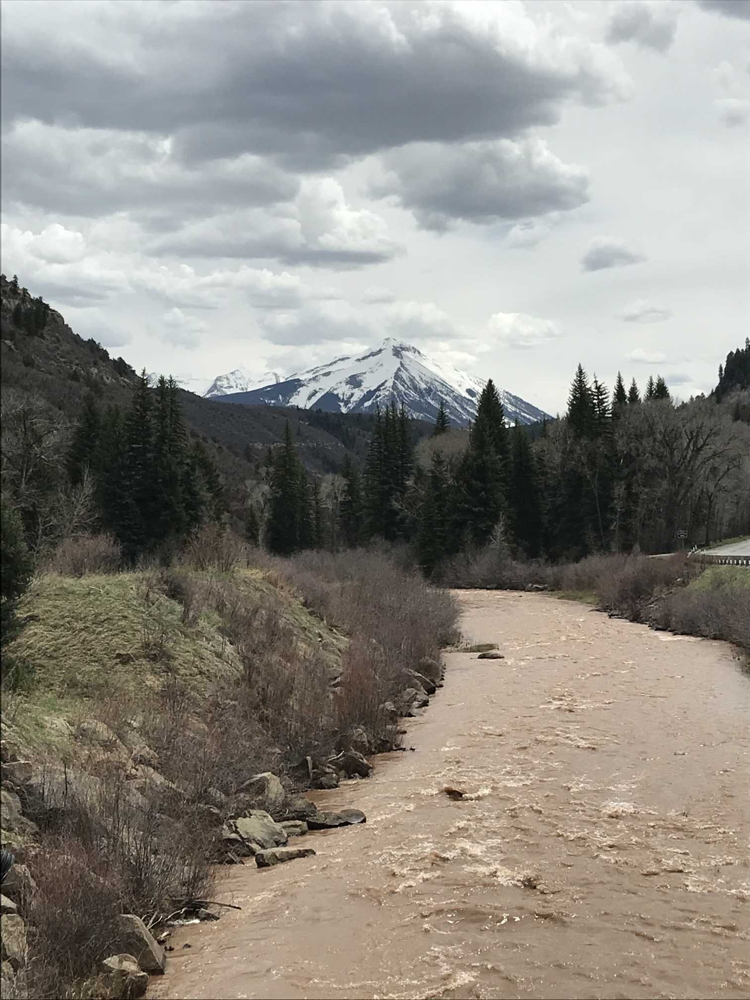
The snowpack is melting fast in Southern Colorado and Wolf Creek at 11,000’ is no exception. On April 11 we measured 24.6” of SWE. On May 1 we measured 14.3”. That is a decline of 10.3” in 20 days. Wolf Creek SNOTEL - being located across the road on a different aspect - showed a melt rate of 6” and just in the last 8 days the SNOTEL lost 5.1”. With all layers merged at the surface there is a moderately strong dust presence. This is one CODOS location that has slipped into the “average” category of dust severity. The dust deposited is more severe and the area also received 1-2 additional events that Senator Beck and other locations did not noticeably receive. All lower elevation slopes are melted out.
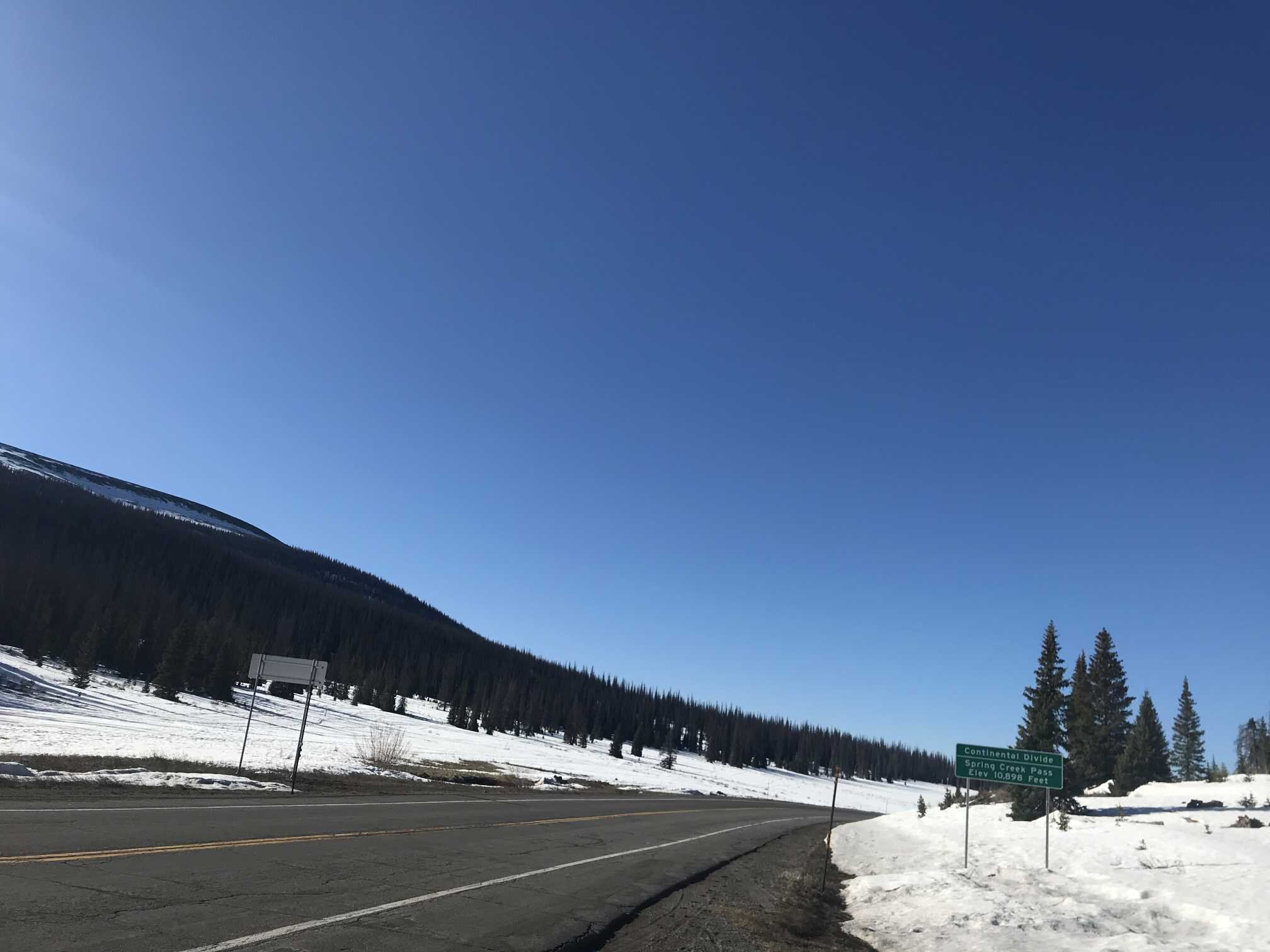
Spring Creek Pass (May 1)
Spring Creek has the lightest dust of all the Southern sample locations but it is dustier than 3 weeks ago. Shallow snow cover remains on most slopes. Creeks and Rio Grande are bankfull and murky.
Park Cone (April 30)
Taylor reservoir is almost melted out. Very shallow snow cover remains. Dust evident on surface but still considered light in severity.
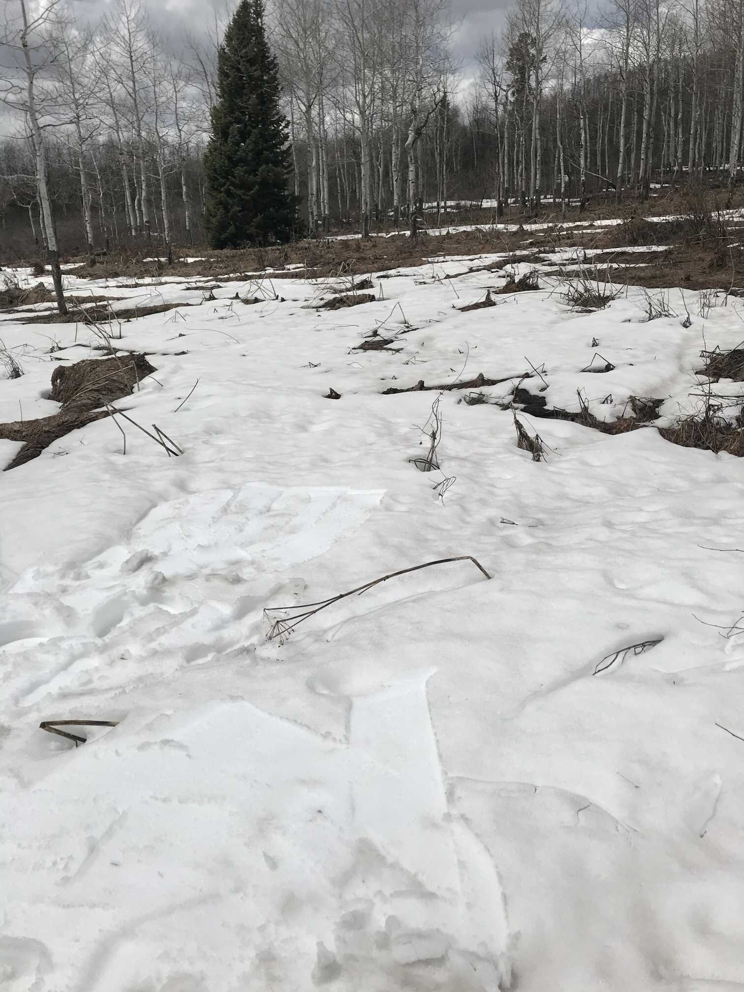
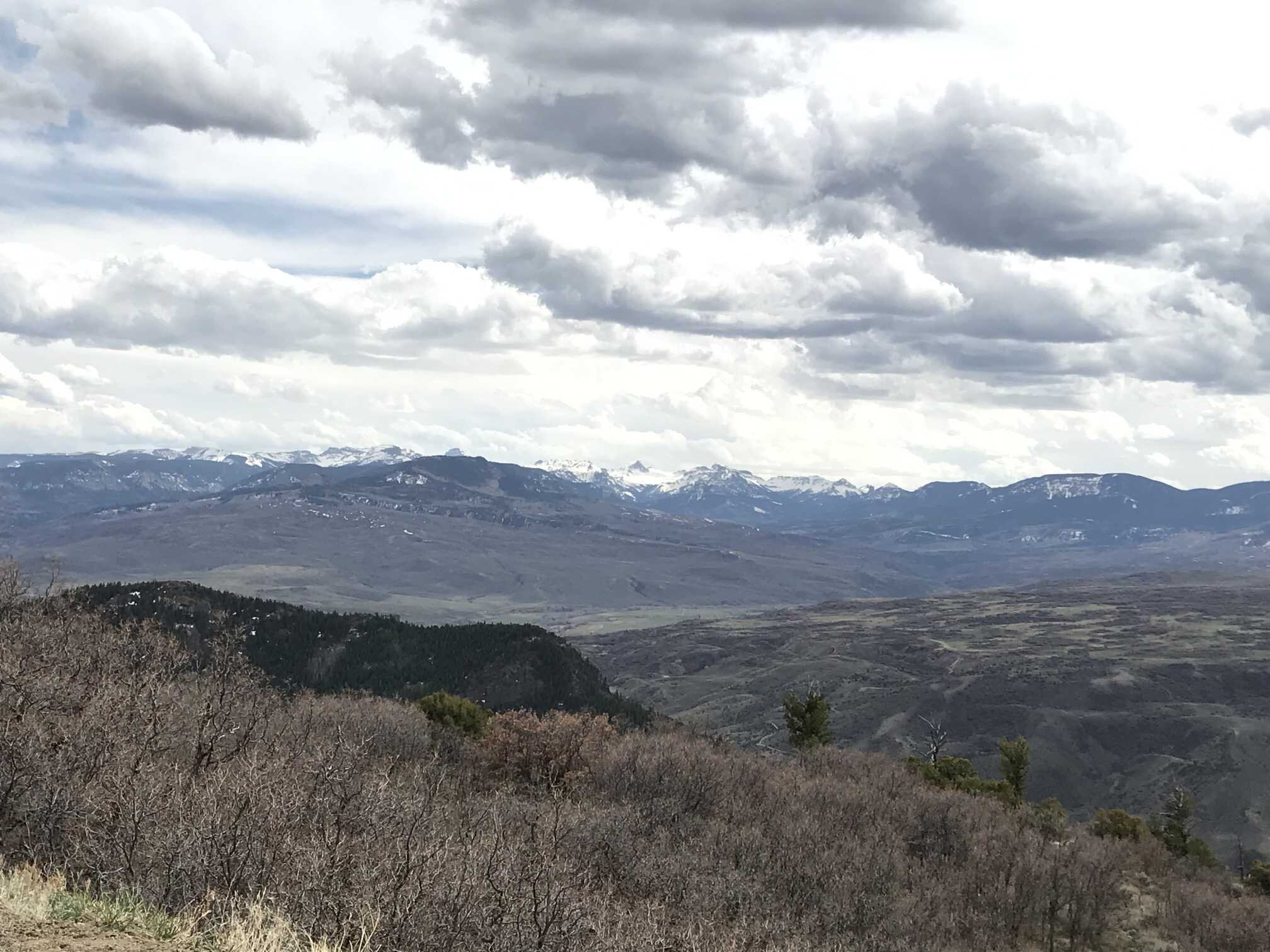
McClure Pass (May 1)
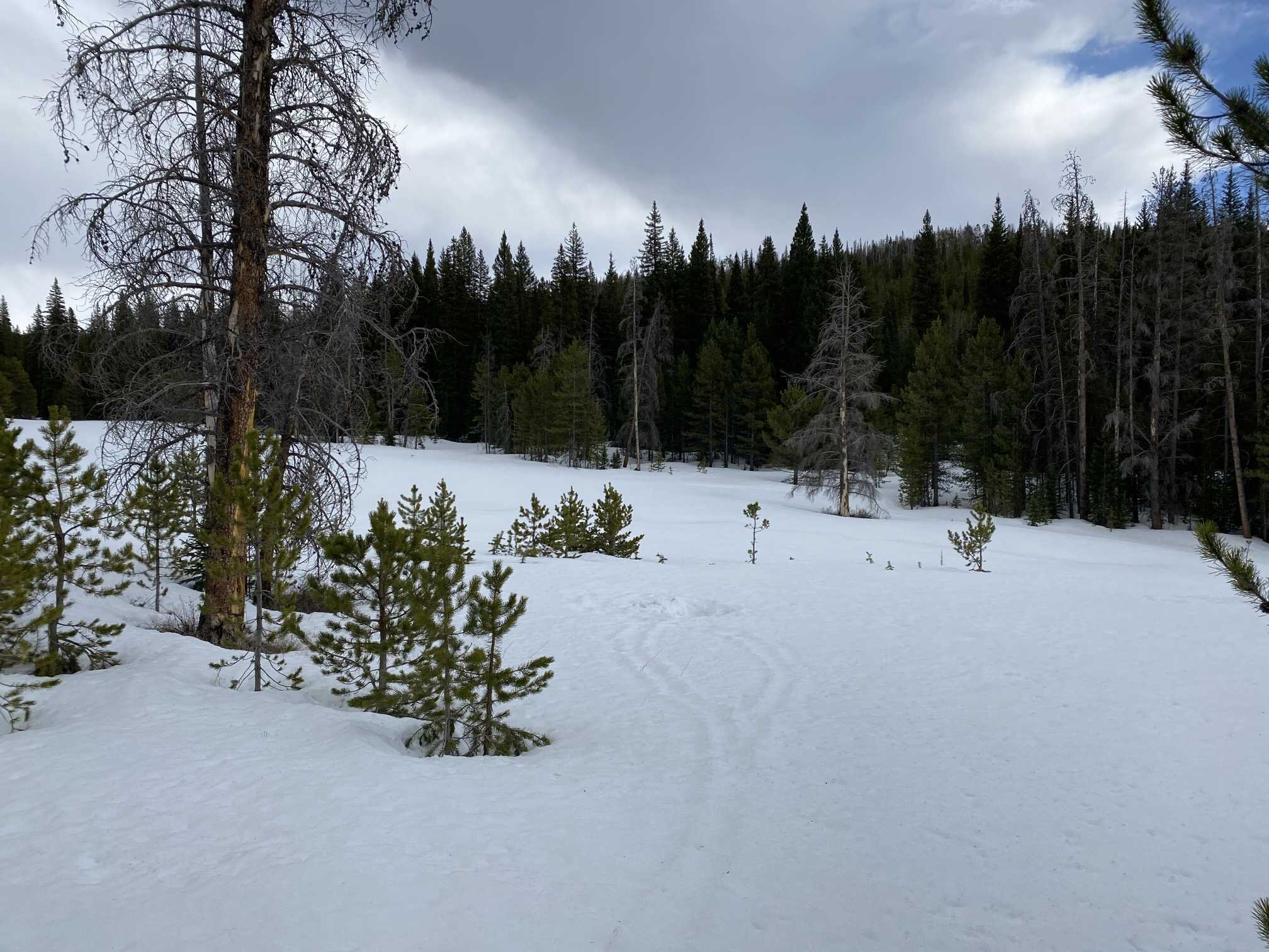
Muddy Creek is flowing strong and muddy, shallow dusty snow on most slopes. Local forest debris evident. Dust evident on high peaks. McClure SNOTEL shows 2.2” SWE and the photos illustrate discontinuous snow cover. No snowcover at lower elevations. Over the last 12 days McClure SNOTEL melted on average 0.8”/day.

Grand Mesa (April 30)
Grand Mesa has obvious coalesced dust on the snow surface and moderate to strong dust in loading areas (i.e eddies, lee slopes, etc). All dust layers merged at surface.
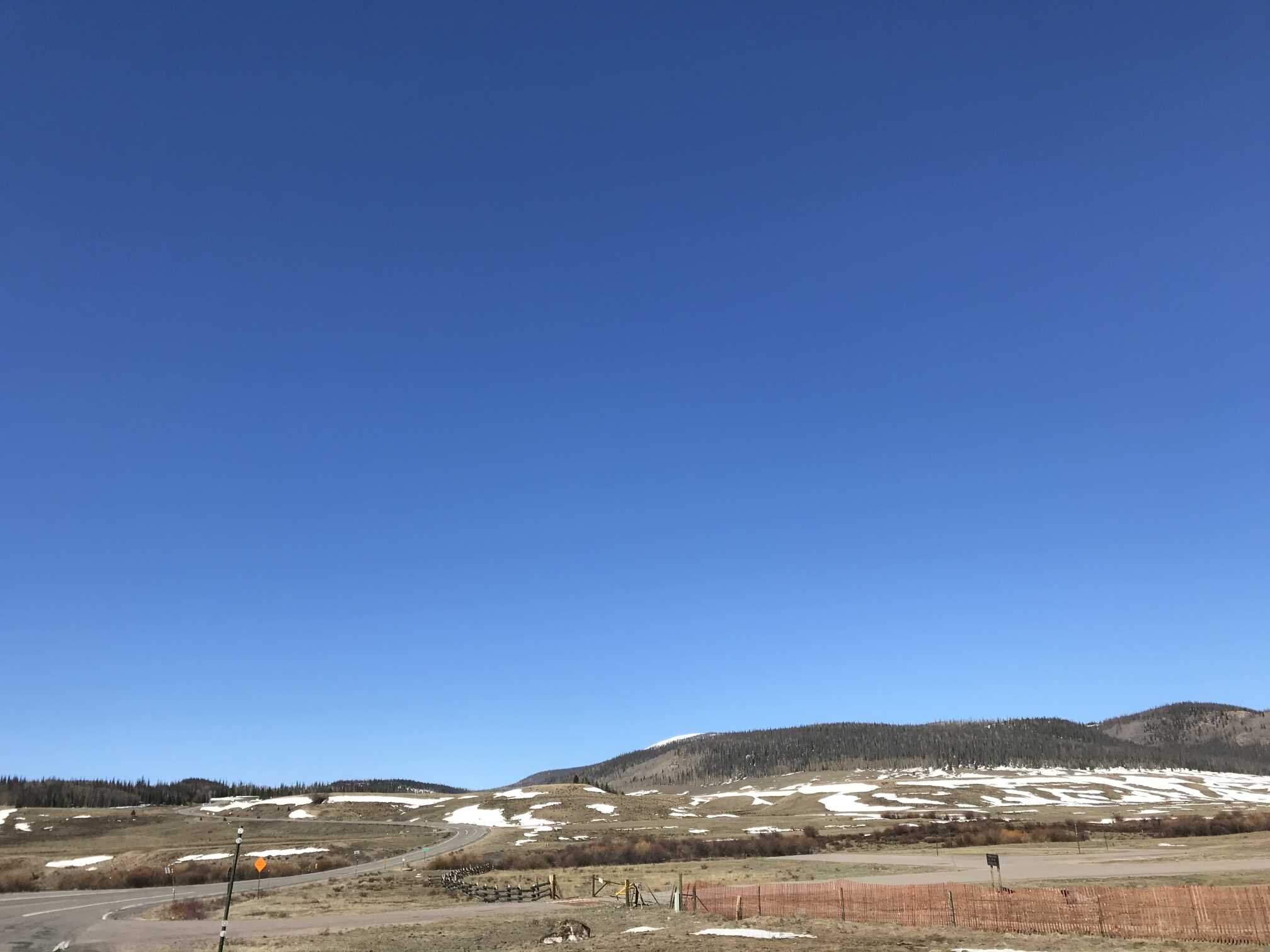
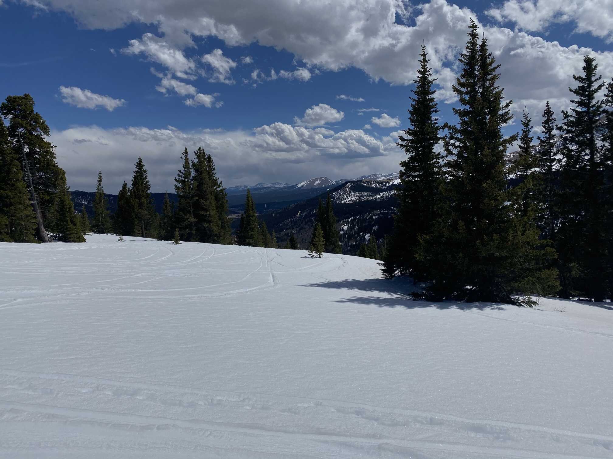
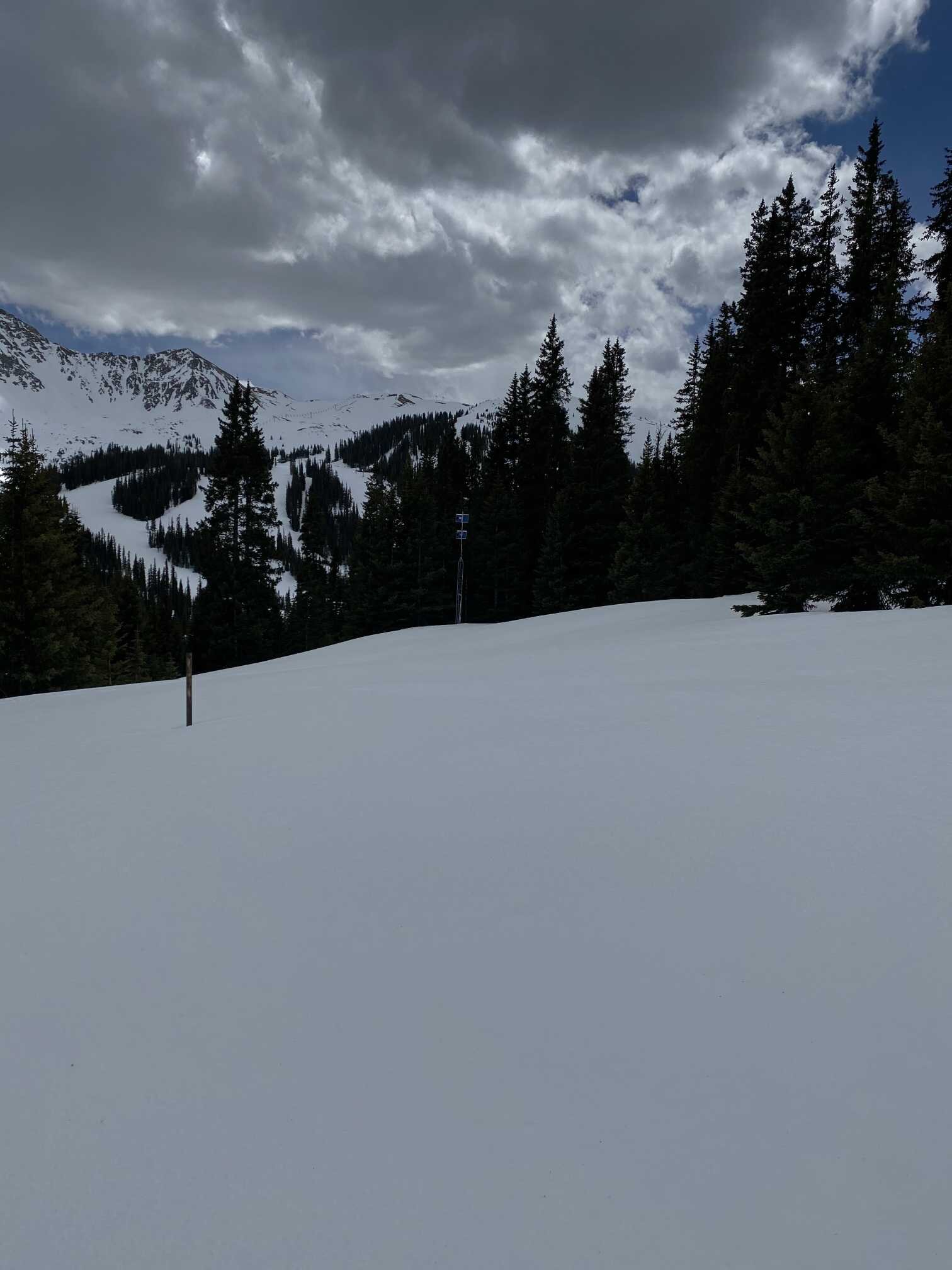
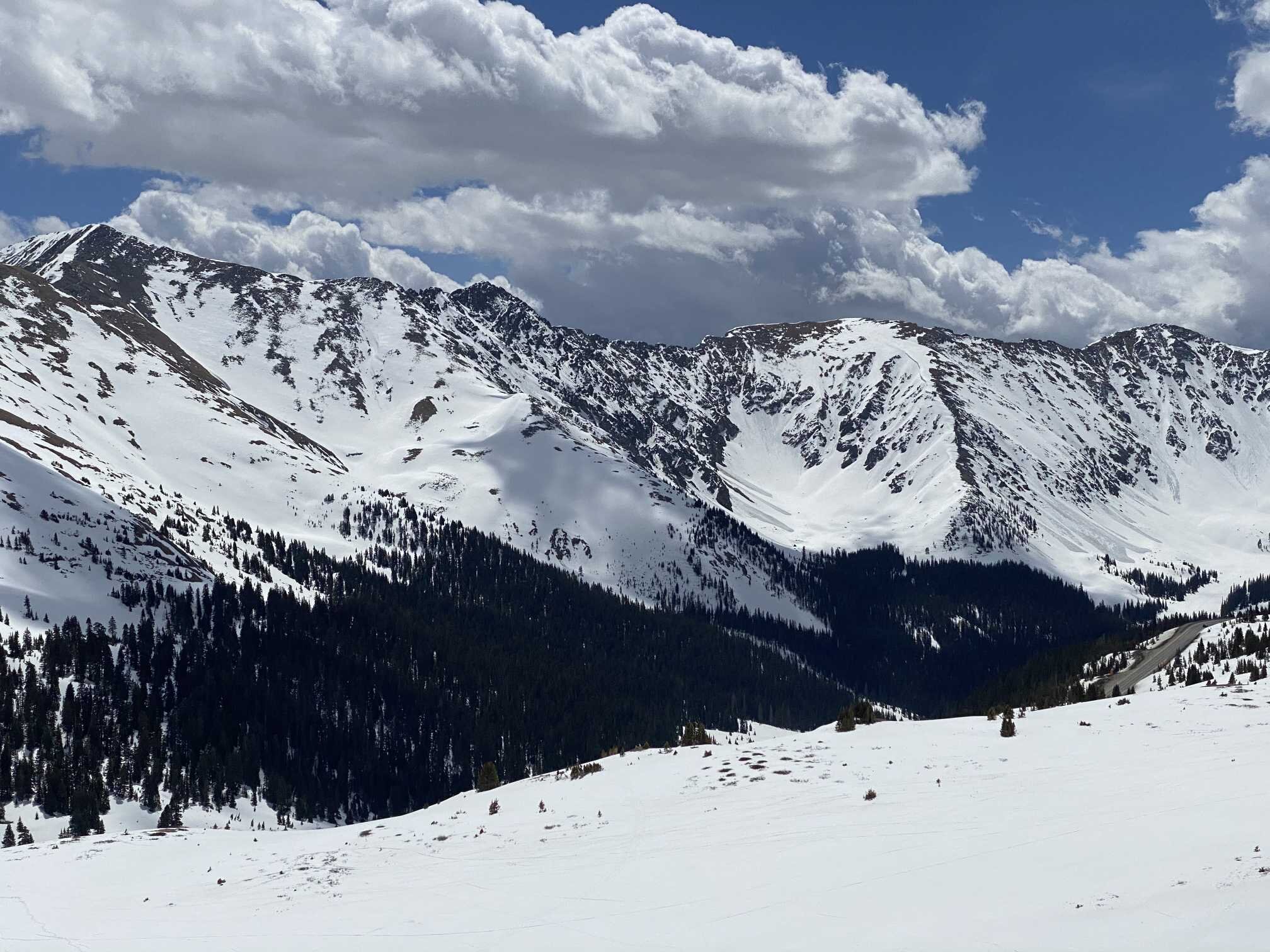
Hoosier Pass (May 2)
Dust on surface comparable with Loveland, still in the “light” category. Local dust influence likely. SWE in profile was 8.7”, a decrease of 2.6” since April 10.
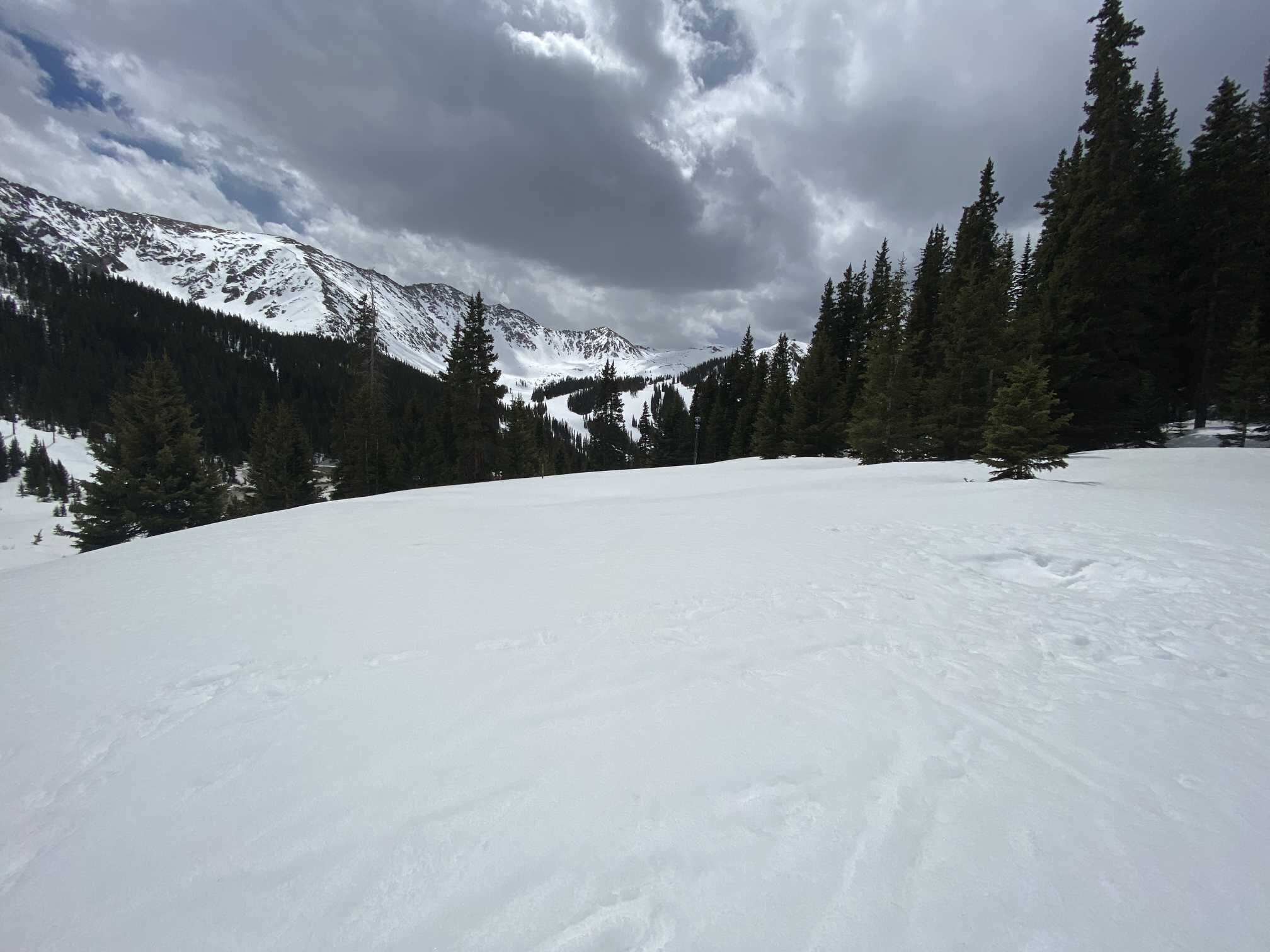
Loveland Pass, Grizzly SNOTEL (May 2)
Light dusty surface comparable to Hoosier. Some isolated depressions had a bit more concentrated amounts. Local dust influence likely in some areas.
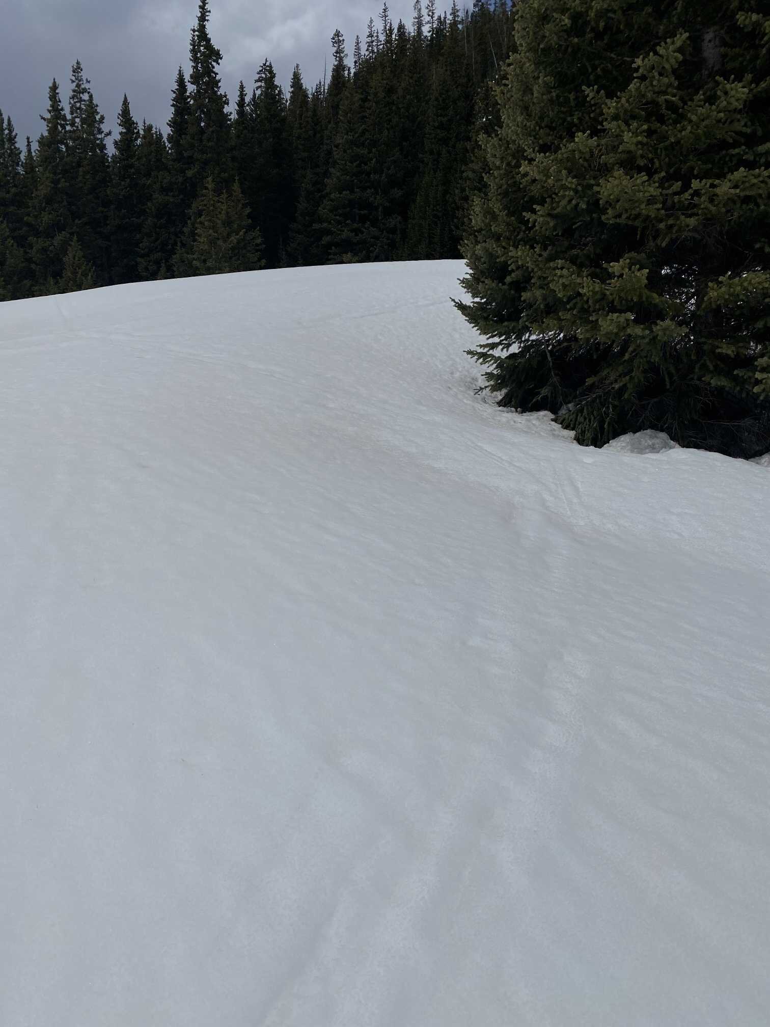
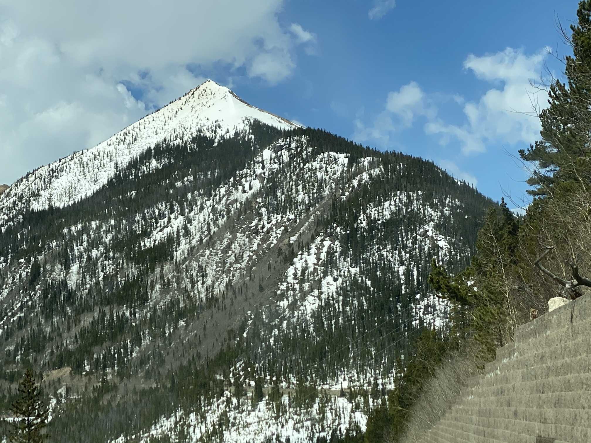
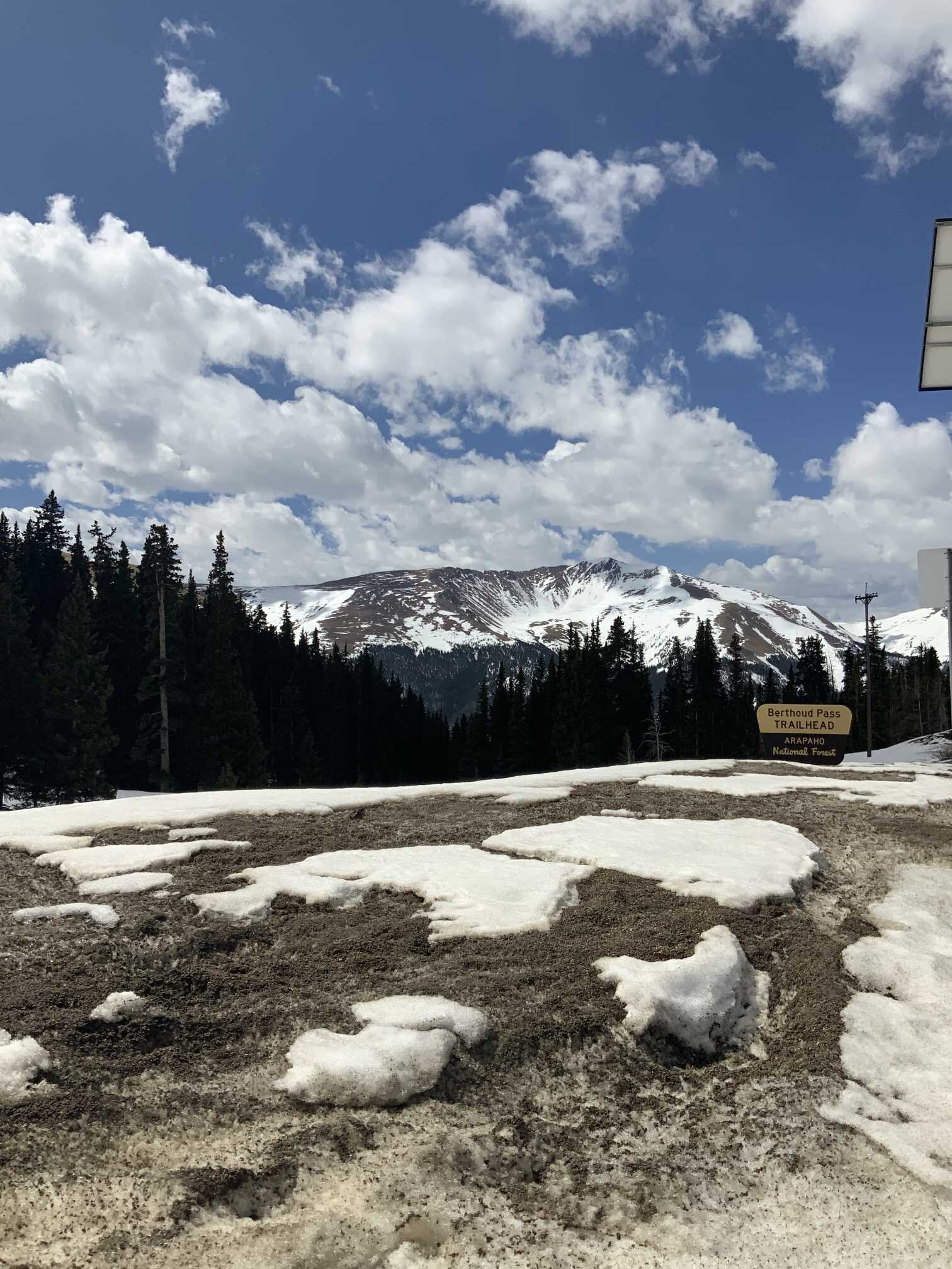
Berthoud Pass (May 2)
The Berthoud CODOS site did not have any obvious dust on the surface or within the pack - one of the cleanest snowpacks we observed. There are darker patches in some depressions from local forest debris. There is dust visible on the peaks from local sources.
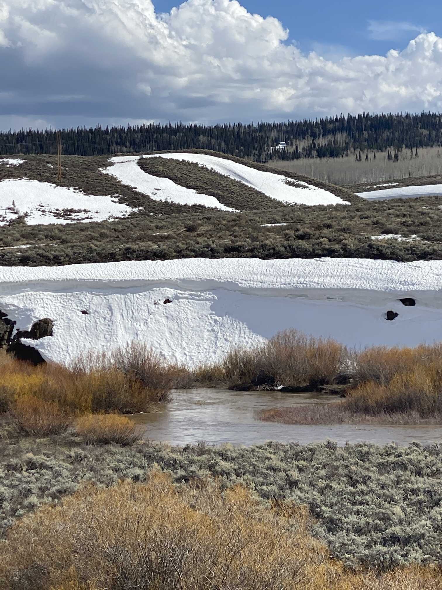
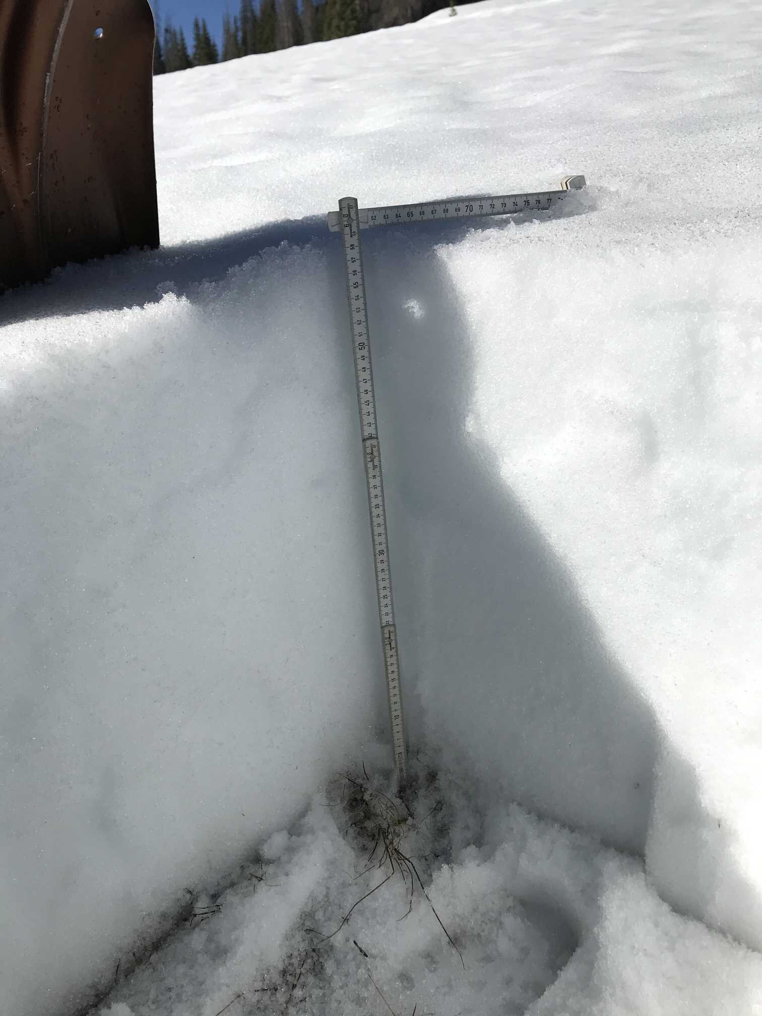
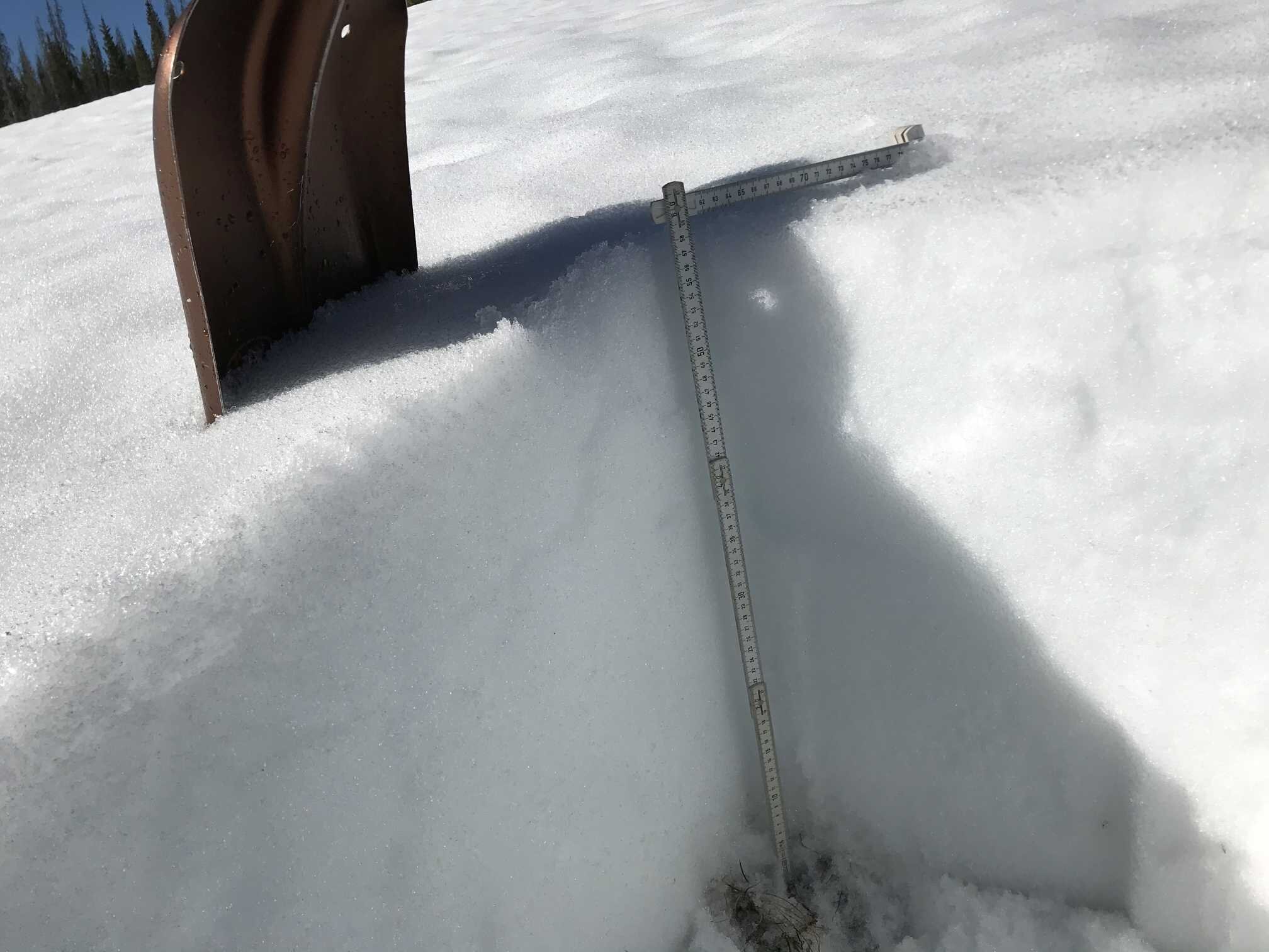
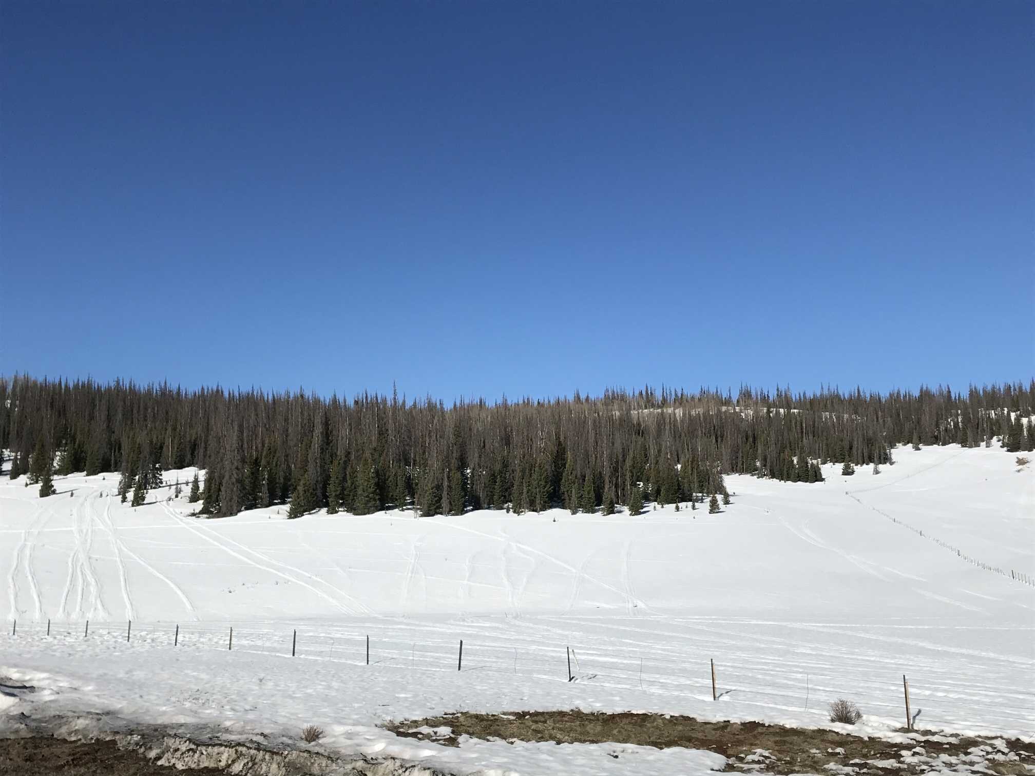
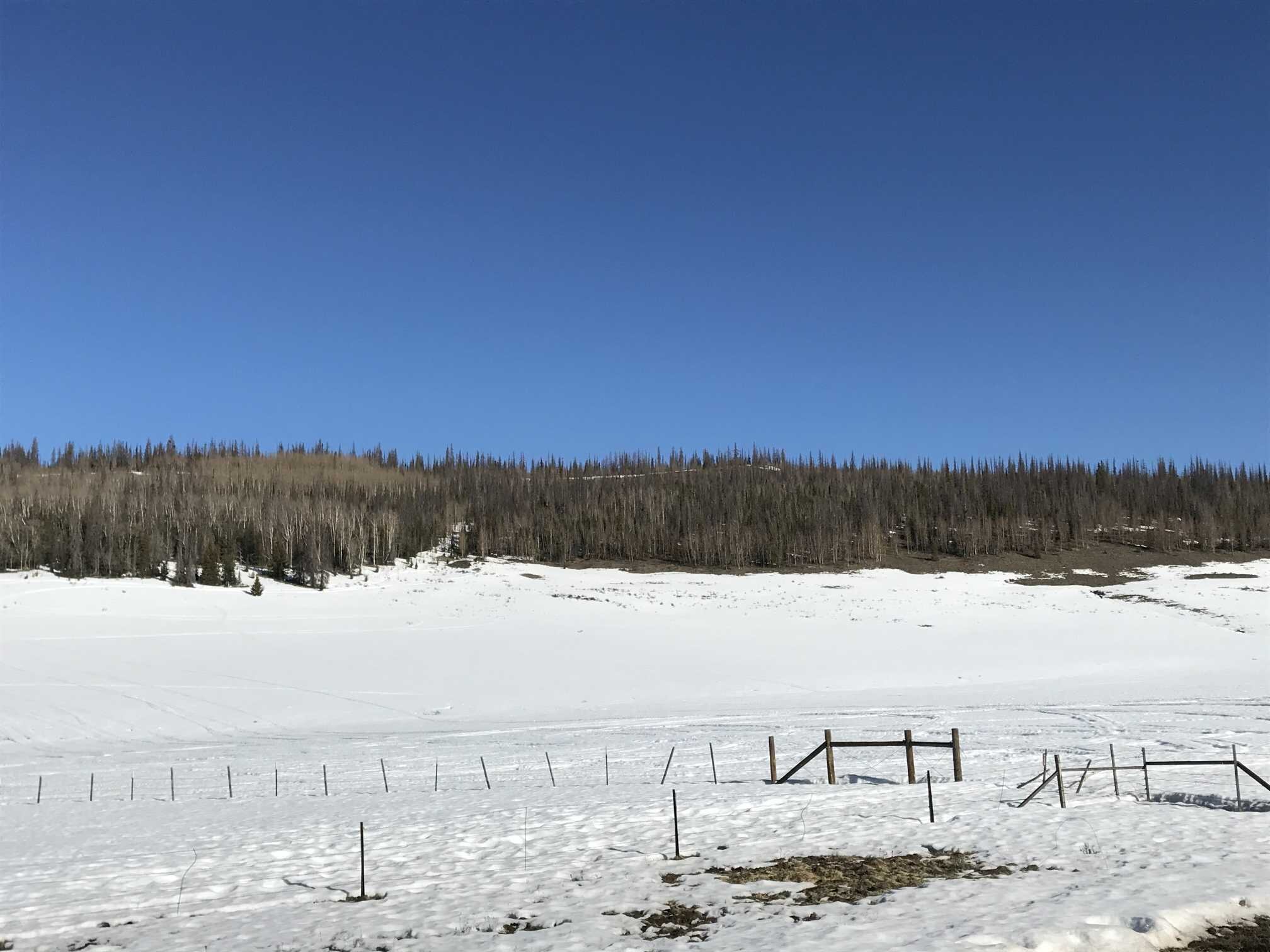
Willow Creek (May 1)
A slightly dusty surface mostly attributed to local influences, but some regional dust can’t be ruled out. Whichever, it is very light. We took snow surface samples at site and it appears very clear. There remains 2’ of snow comprising of 8.8” of SWE as of May 1.
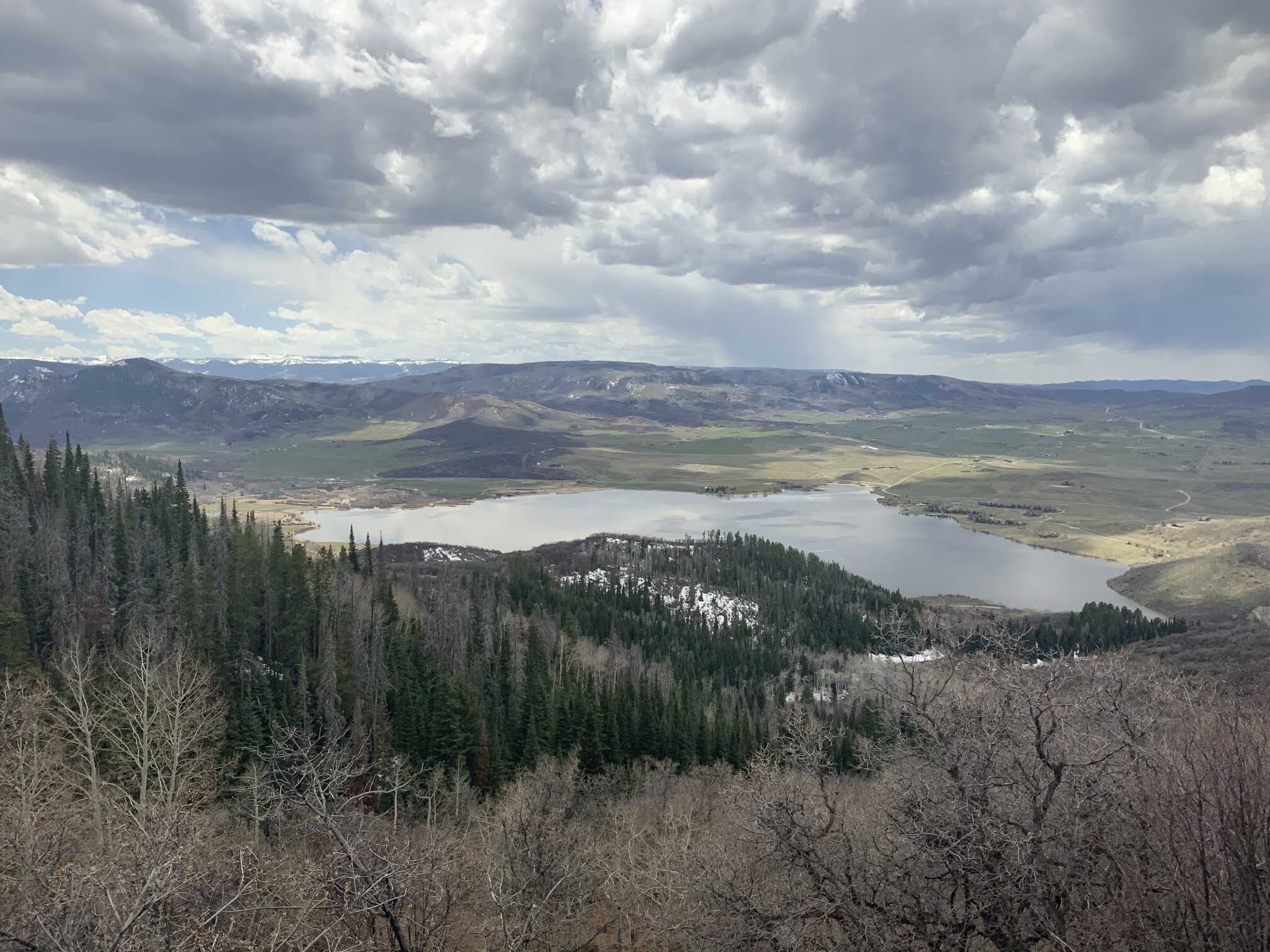
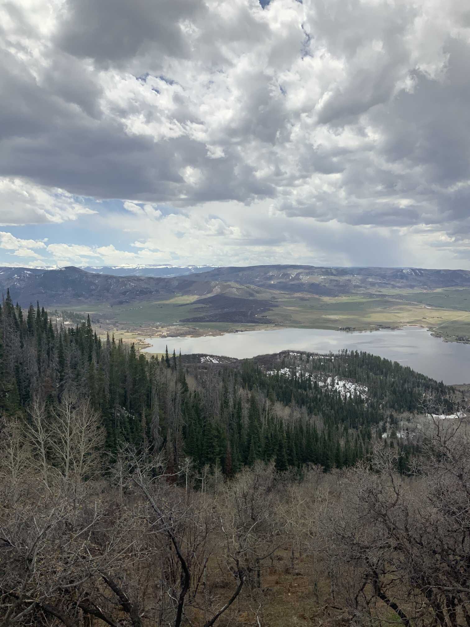
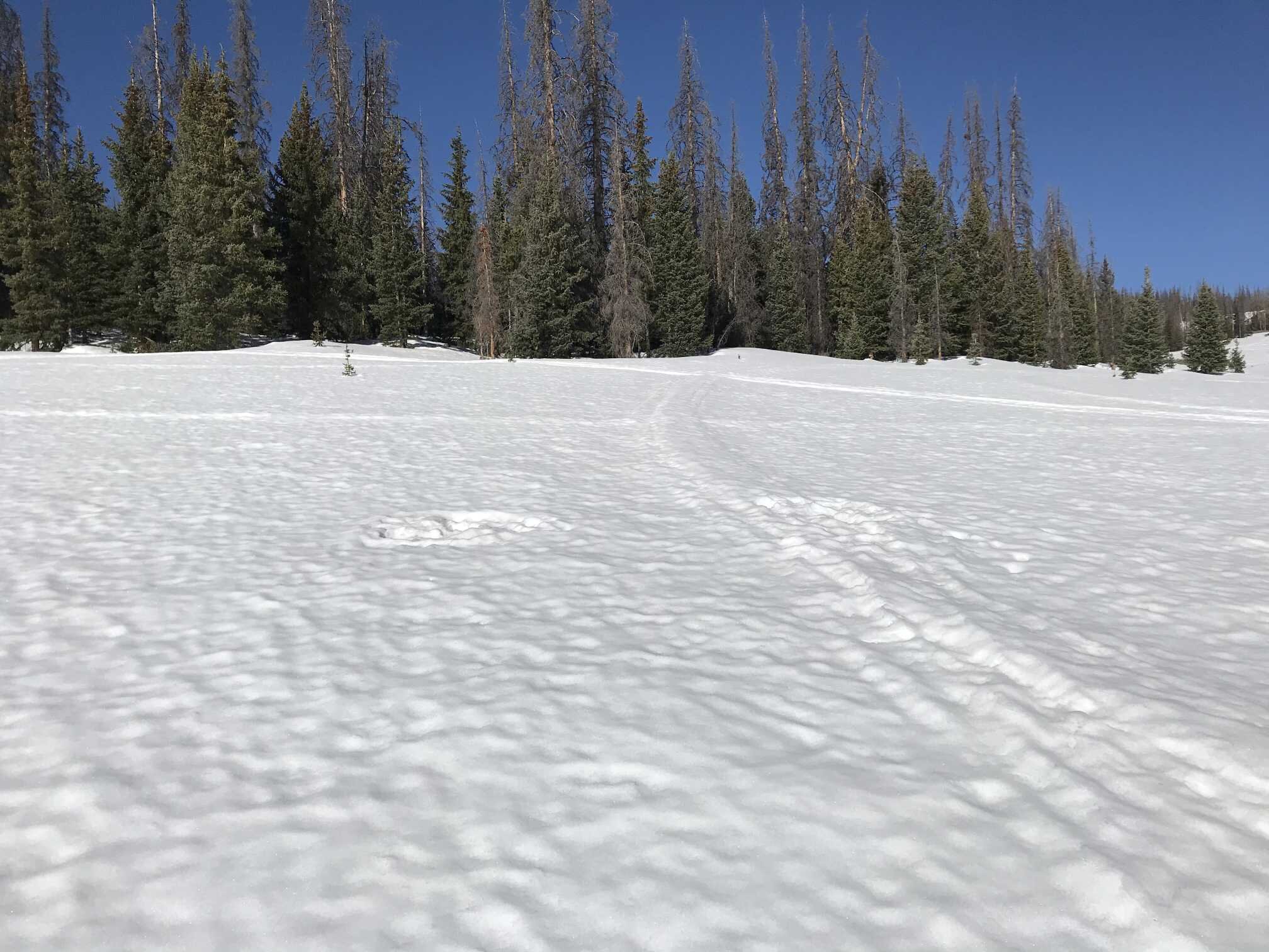
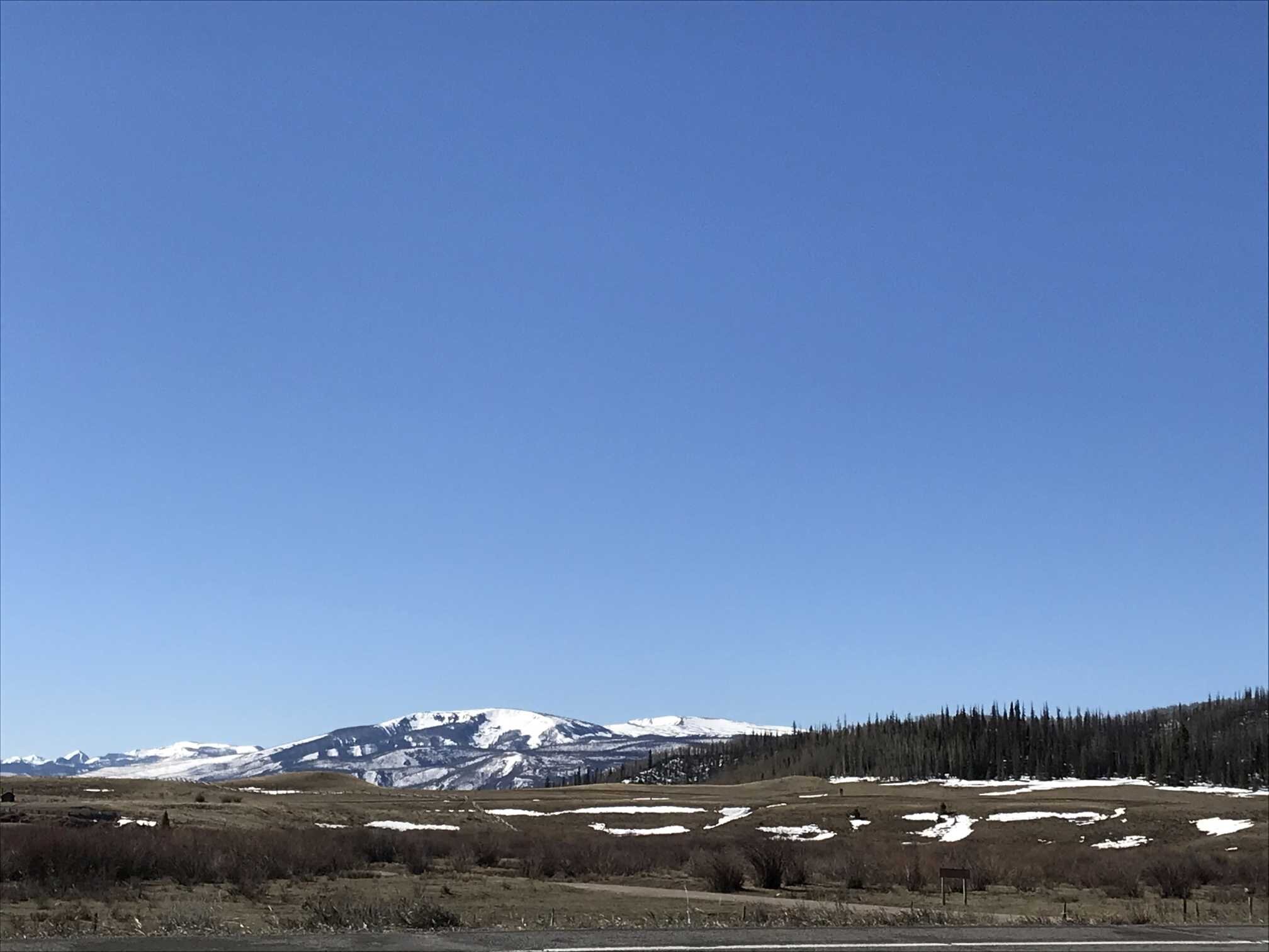
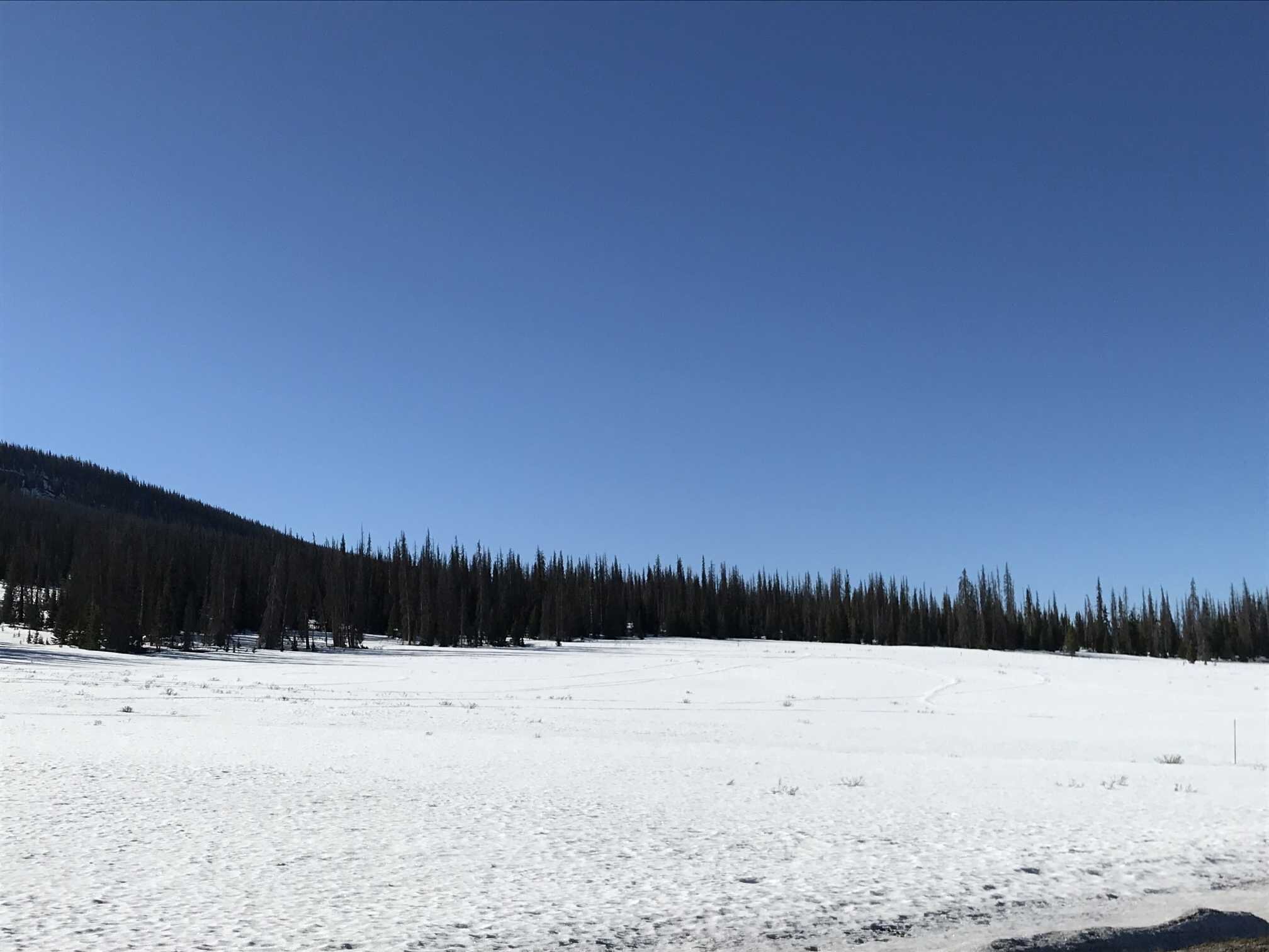
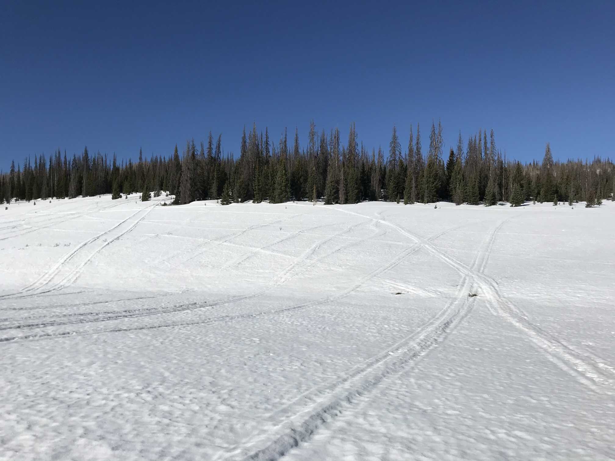
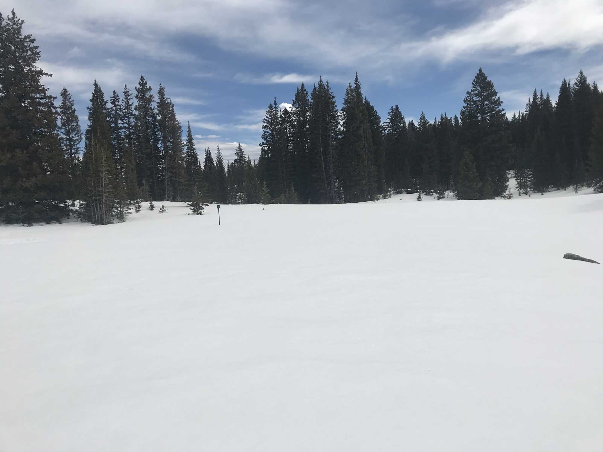
Rabbit Ears Pass (May 1)
Similar to Willow Creek any debris on surface looks to be local in origin but regional deposition can’t be ruled out. Melted snow samples from surface appear clean. SWE on May 1 was 26.6”, down 4.4” from 31” measured on April 17.