

CODOS Update May 23, 2021: Major Dust Event
Greetings from Silverton,
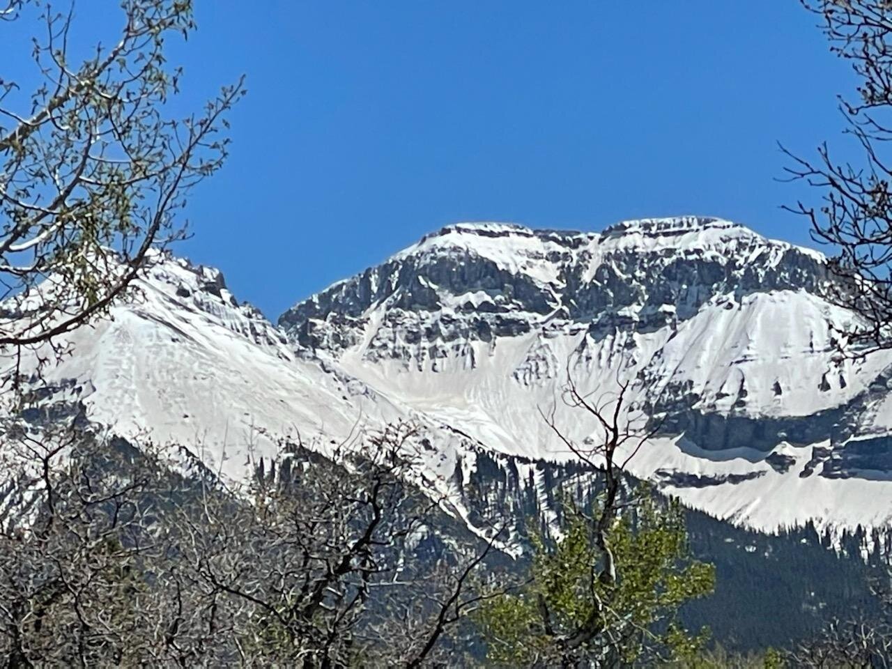
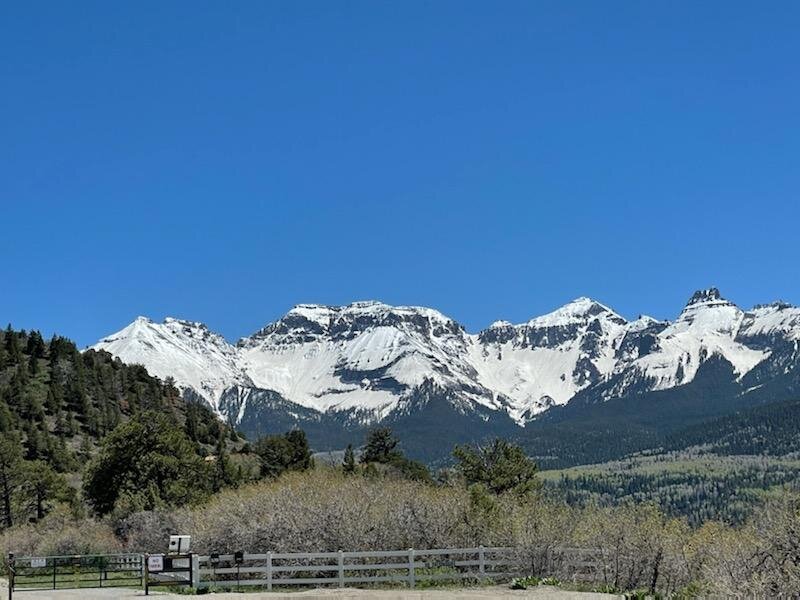
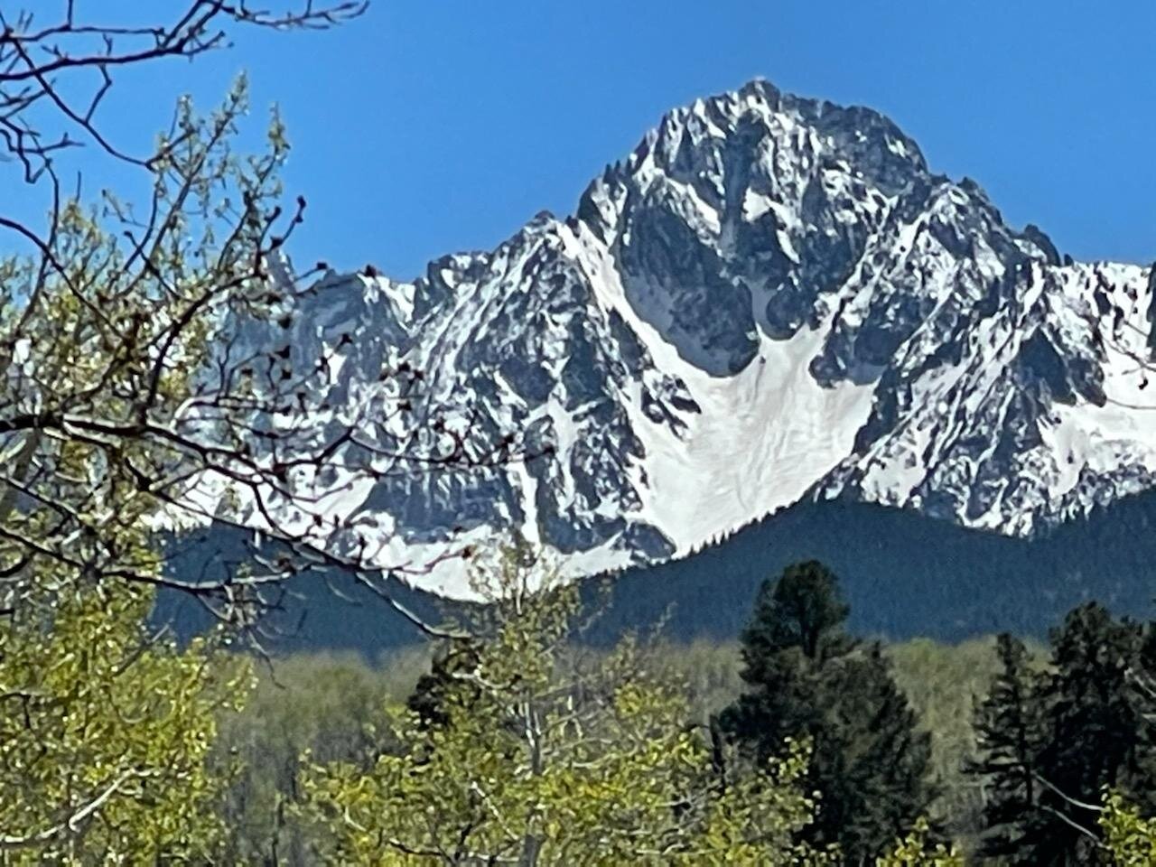
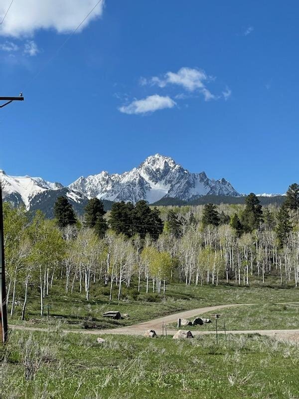
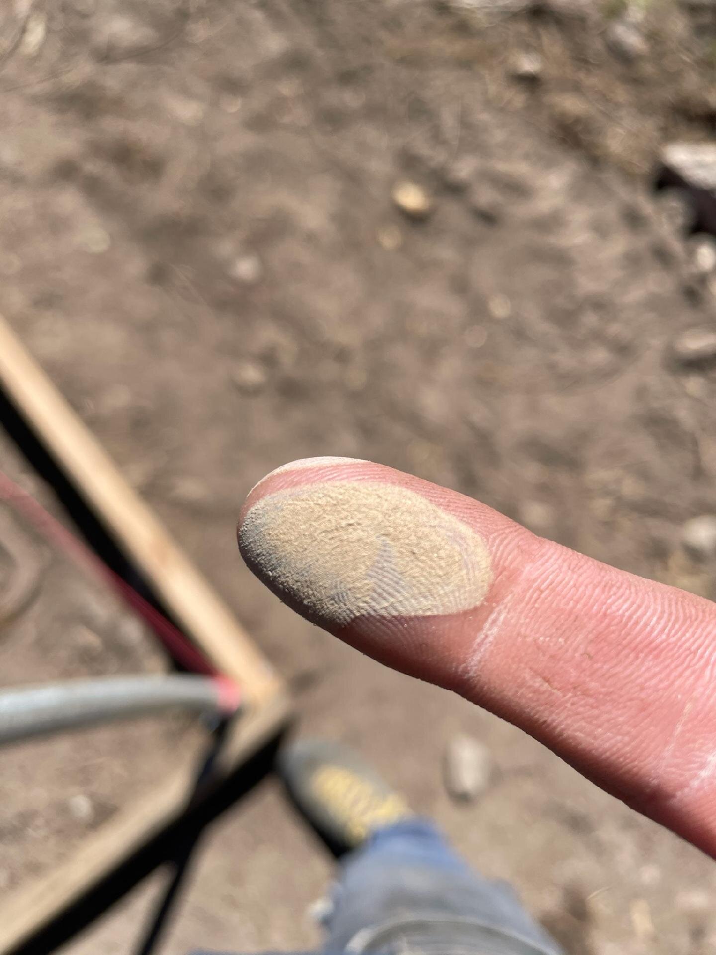
Yesterday afternoon and going into the evening, Saturday, May 22, a major dust event swept over much of the Four Corners region. See pictures below. Winds were right out of the SSE at 40-50 mph for ~18 hours. This dust event fell on the remaining snow in high elevation mountain zones. Senator Beck Basin received ~1’ snow accumulation on May 21. This new dust will shortly join with the season’s dust events that were merged at the surface before the May 21 storm. The forecast calls for sunny conditions every day this coming week with nighttime temperatures hovering around freezing. Without a hard freeze at night and continuous sunny conditions during the day on this very dirty snow surface we will see snowmelt ramp up. The CODOS team will further investigate the severity and extent of this latest dust event this week and report findings ASAP.
Take Care
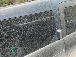
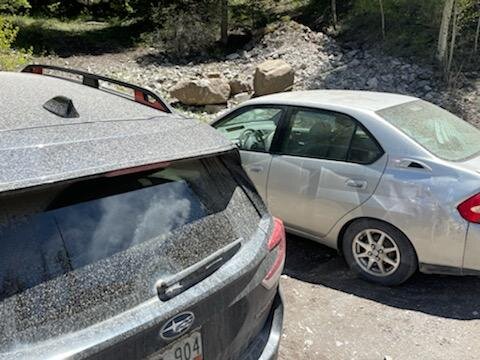
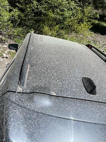
Below: Dust deposition caked everything it fell on. People woke up to dust covering their vehicles. The snow surface has been greatly darkened. Pictures were taken near Ouray by Andrew Temple.

Wind rose for dust event #7 of the season. Likely source for this event is New Mexico going by dust color and wind direction.
Below: No precipitation in the forecast this week for the Colorado mountains.
