CODOS TOUR OBSERVATIONS May 13-15, 2021
Greetings from Silverton,
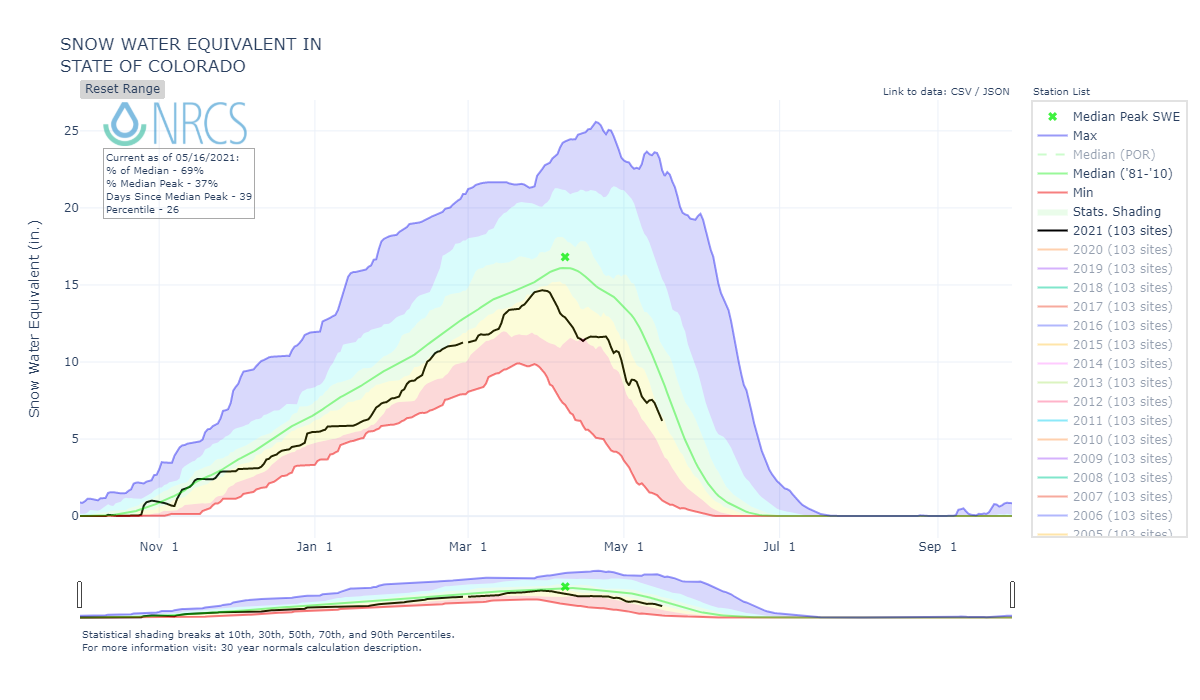
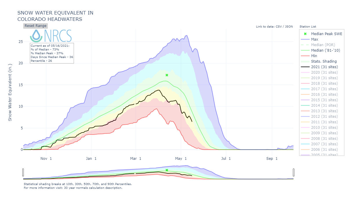
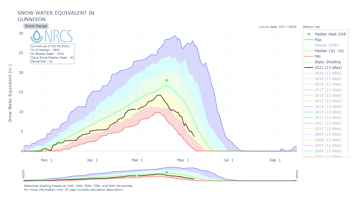
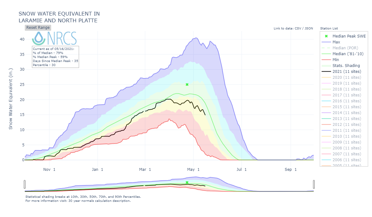
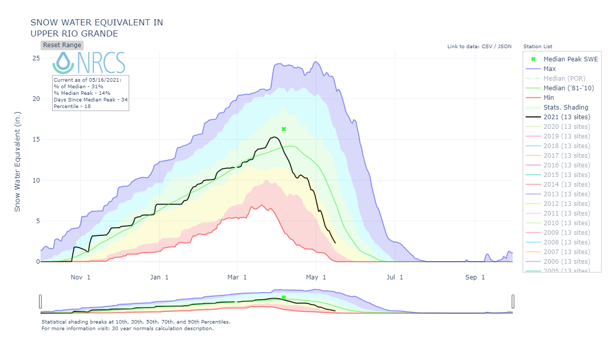
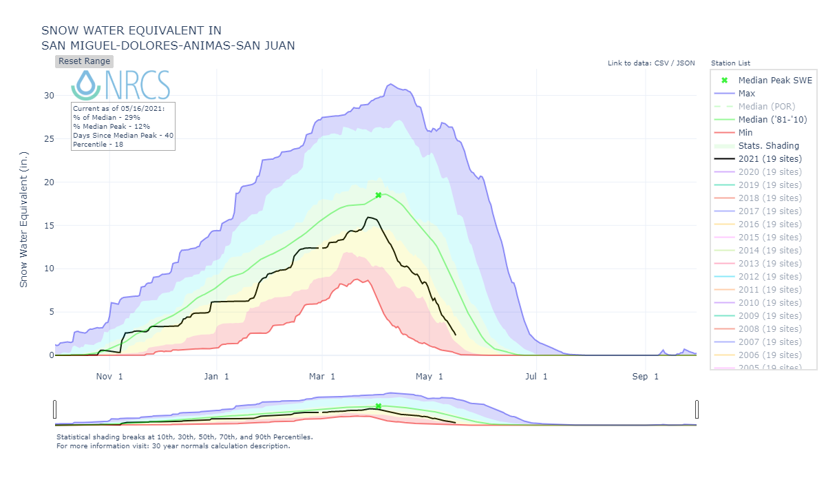
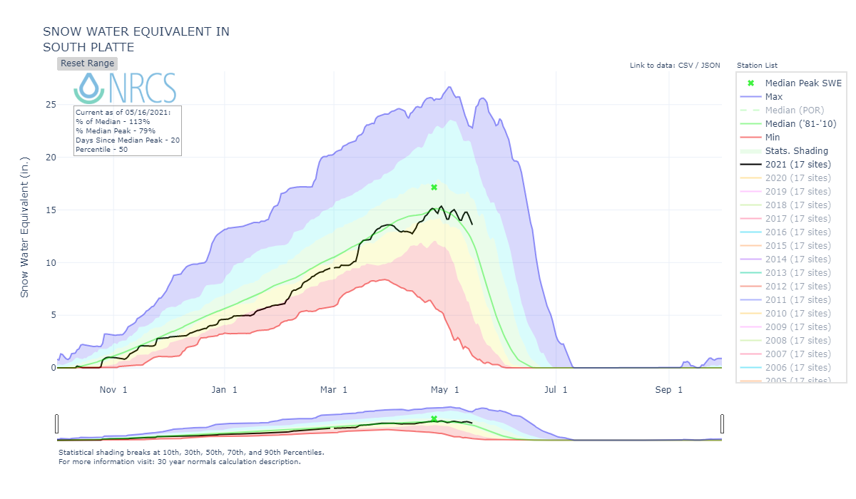
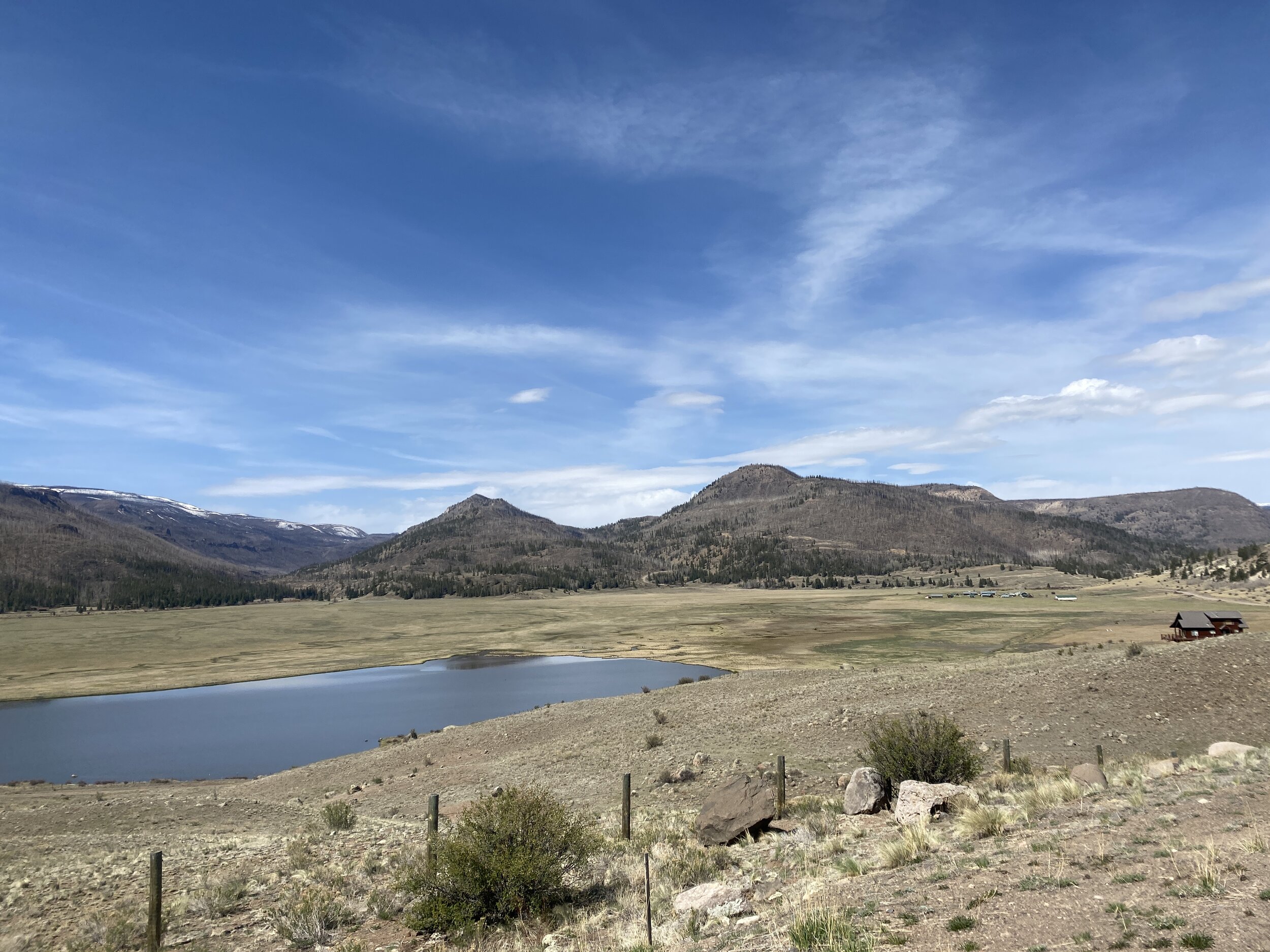
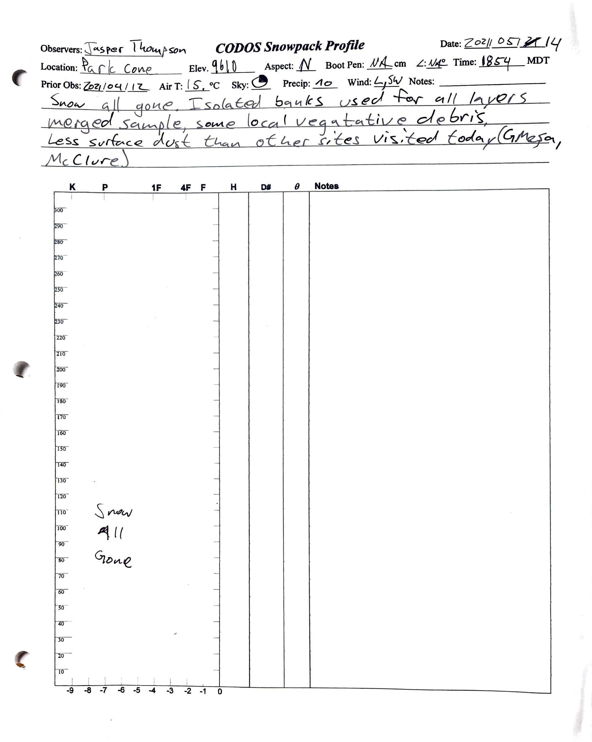
The CODOS tour May 13 - May 15 revealed remaining snowpack only at the highest, typically deepest snow accumulation zones. At the southerly sites snow remains at Senator Beck, Grand Mesa and Wolf Creek, and is gone at Spring Creek, Park Cone, and McClure Pass. At the northerly sites snow remains at Rabbit Ears, Berthoud, Loveland, and Hoosier Pass, and gone at Willow Creek.
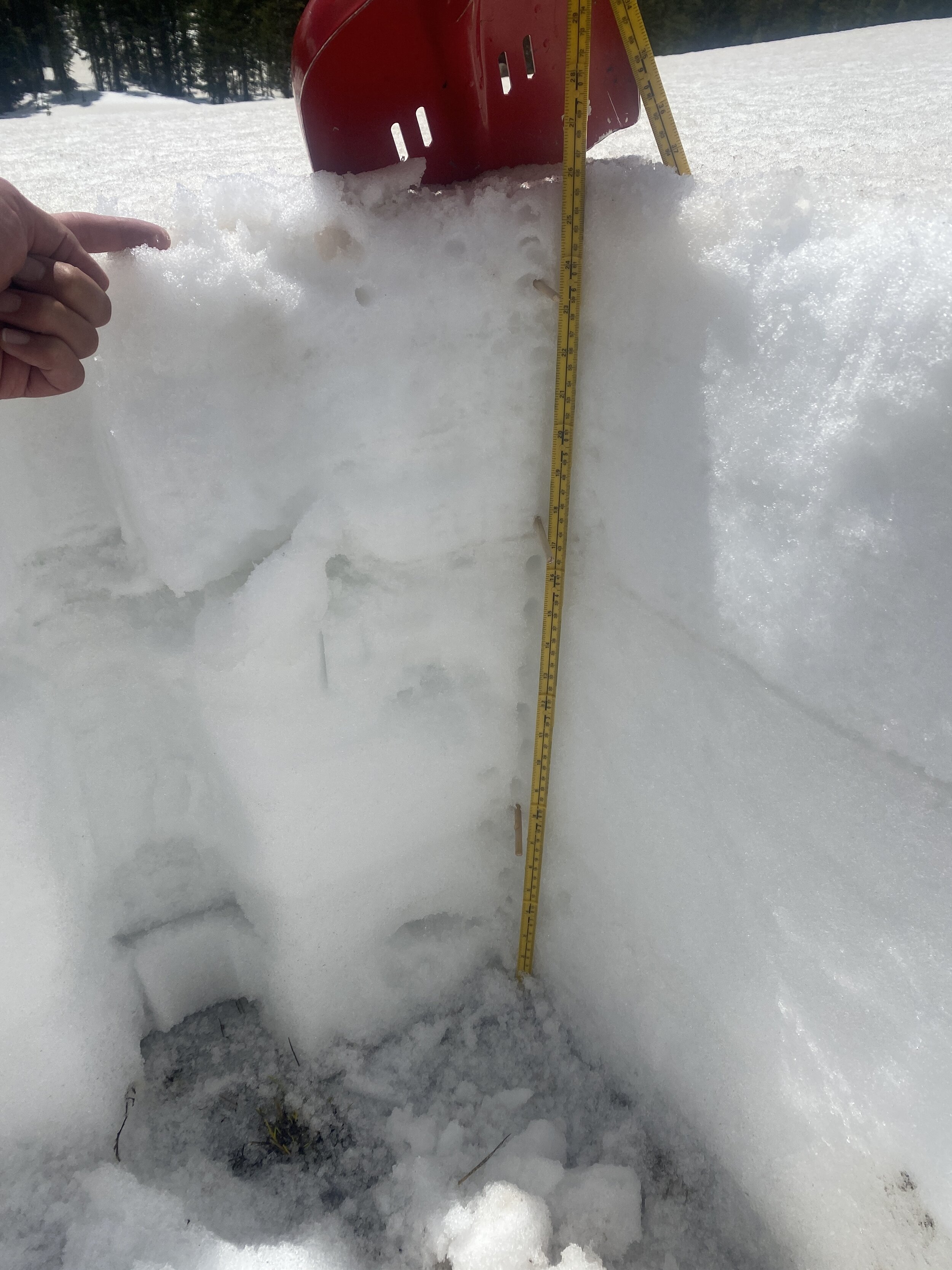
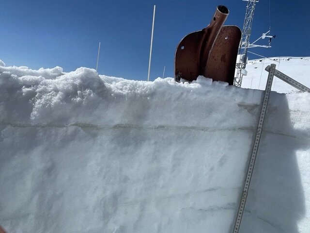
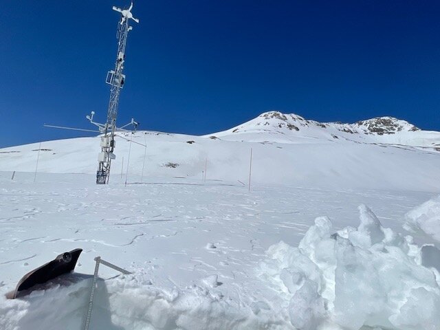
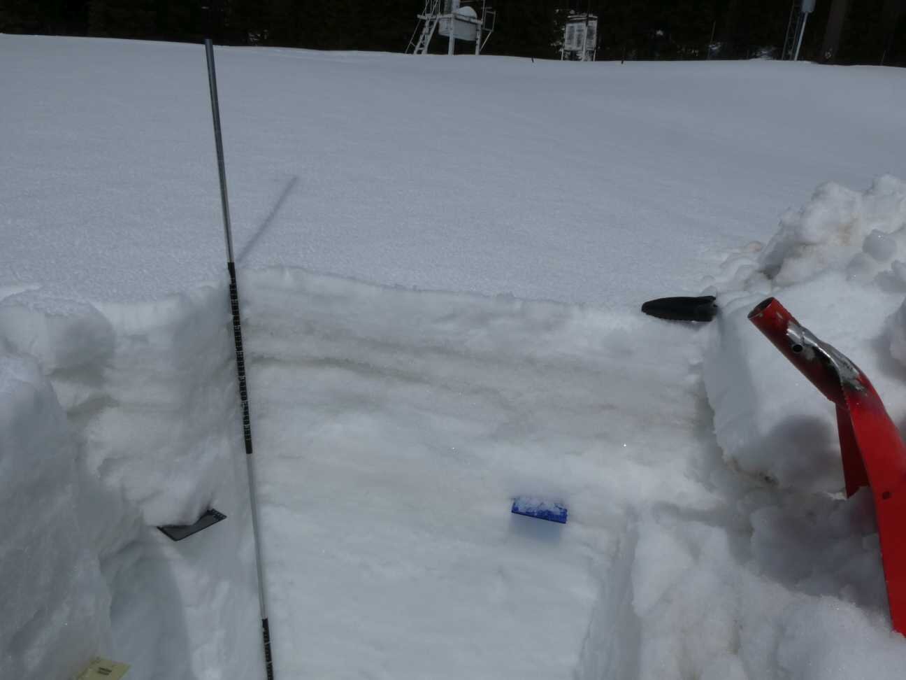
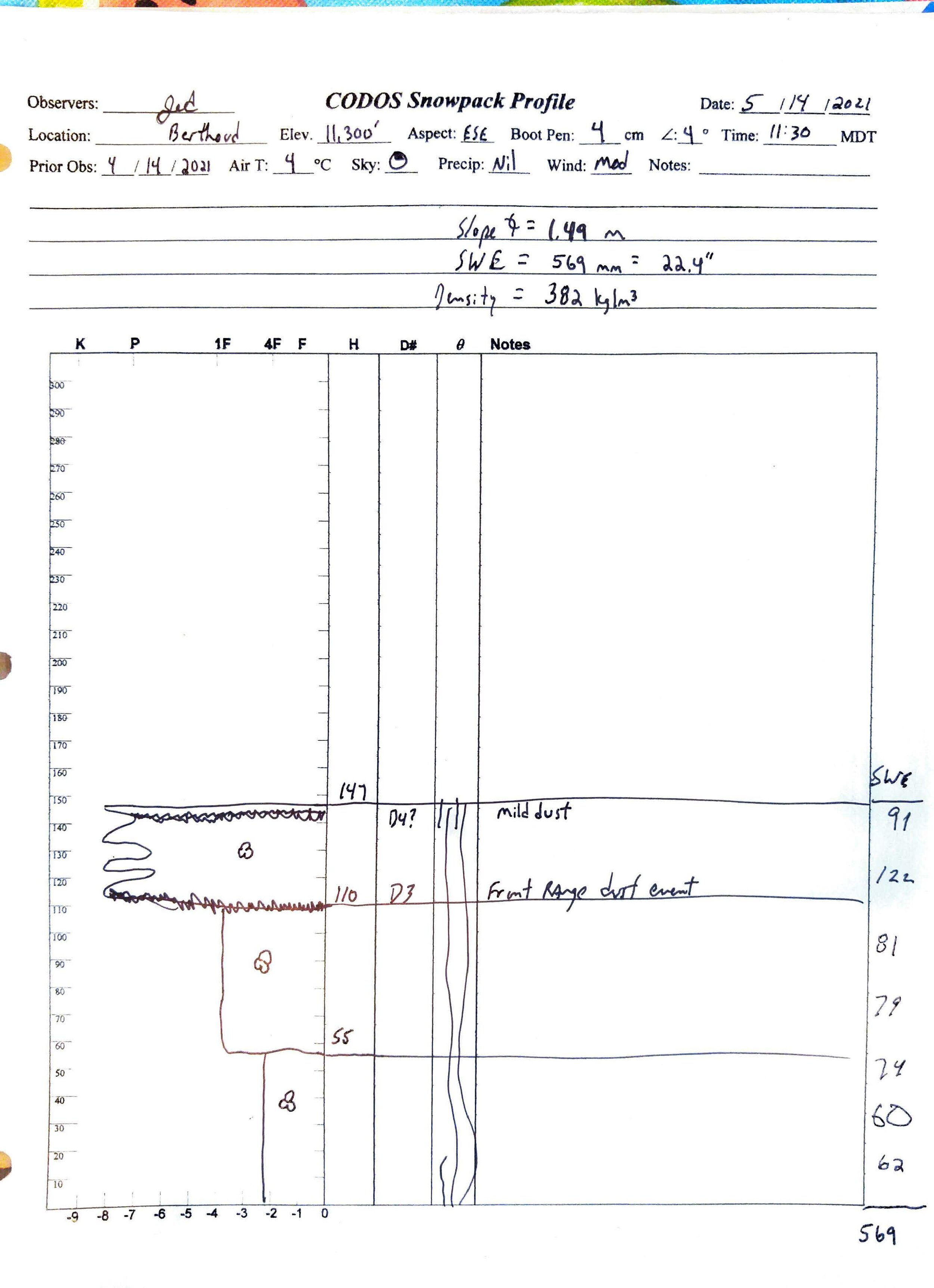
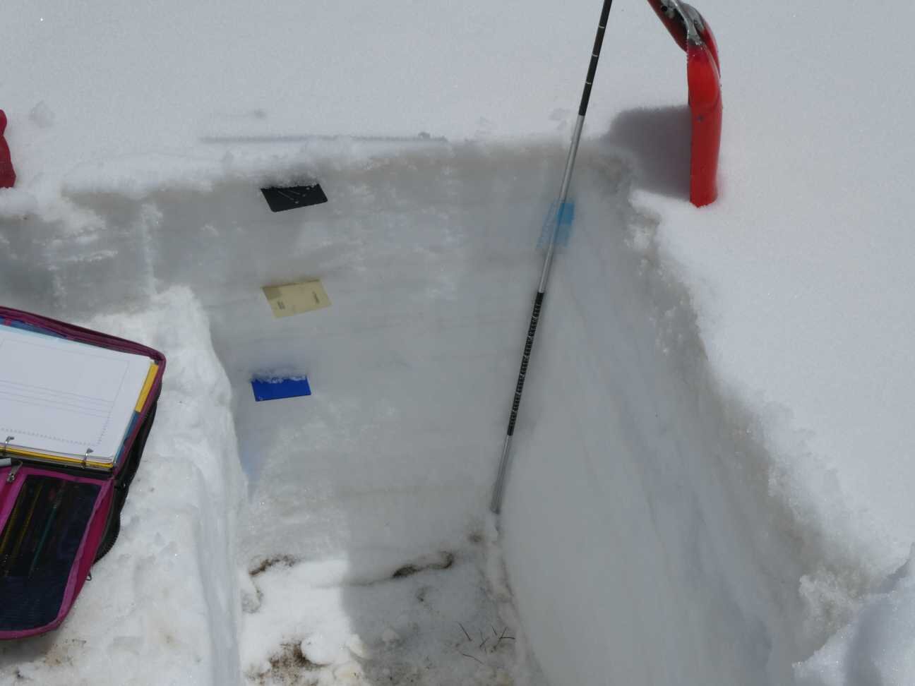
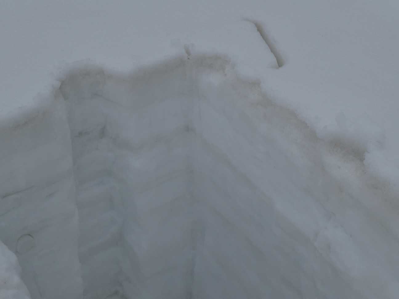
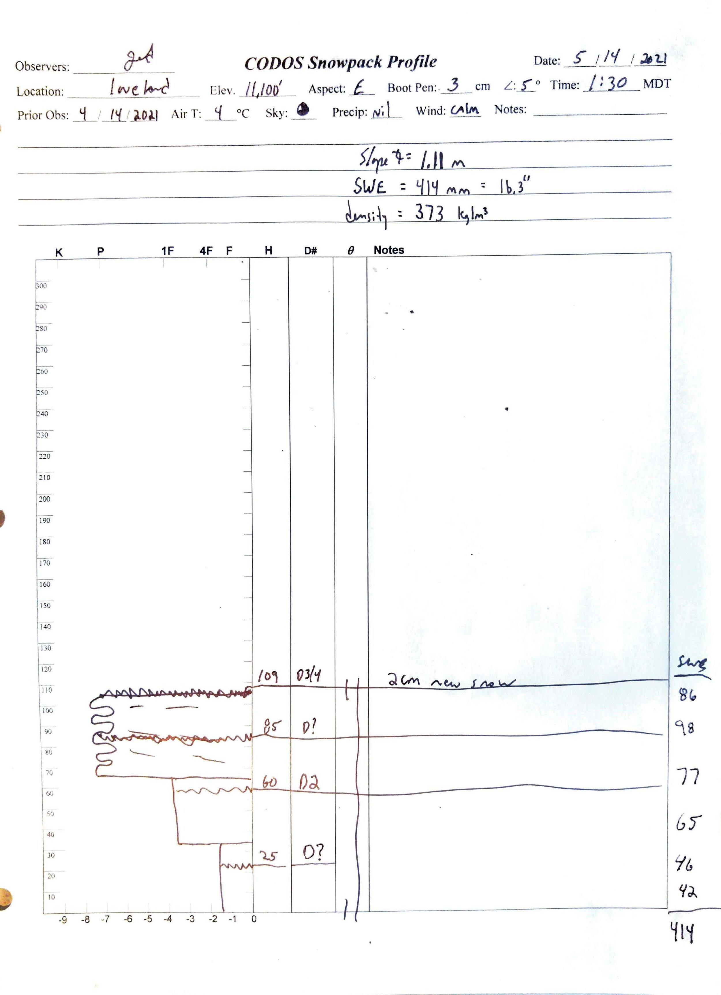
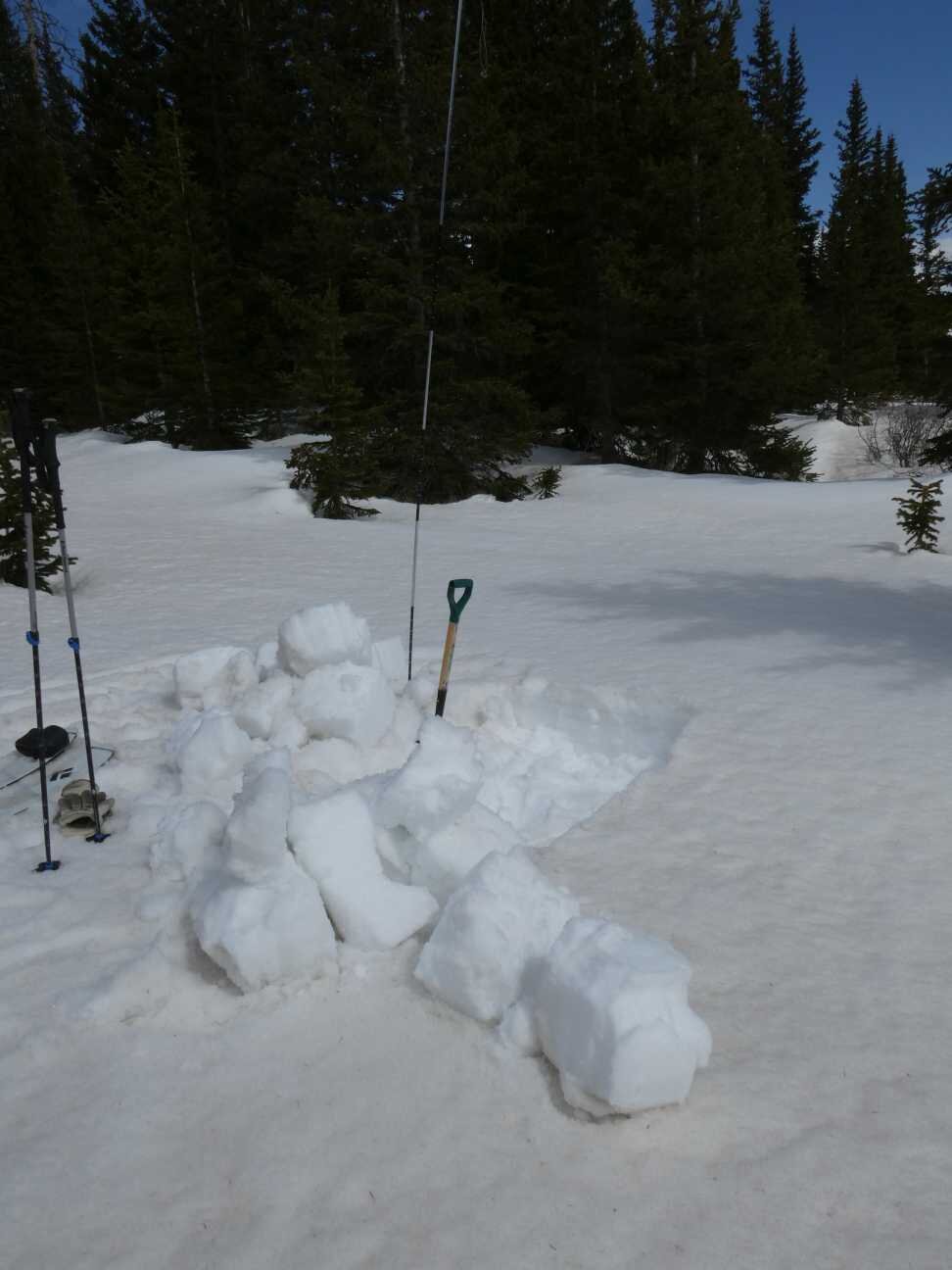
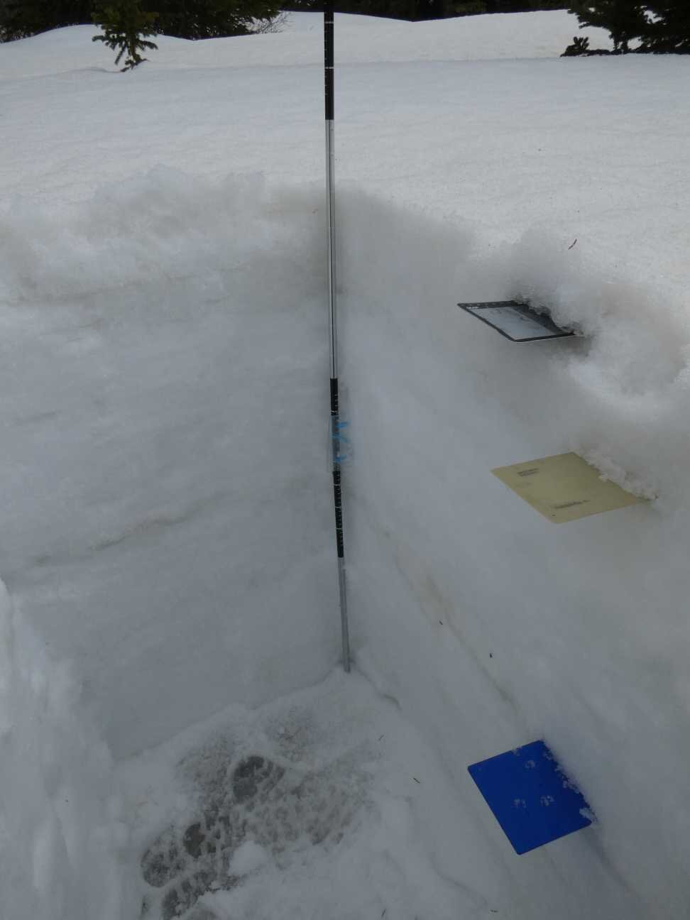
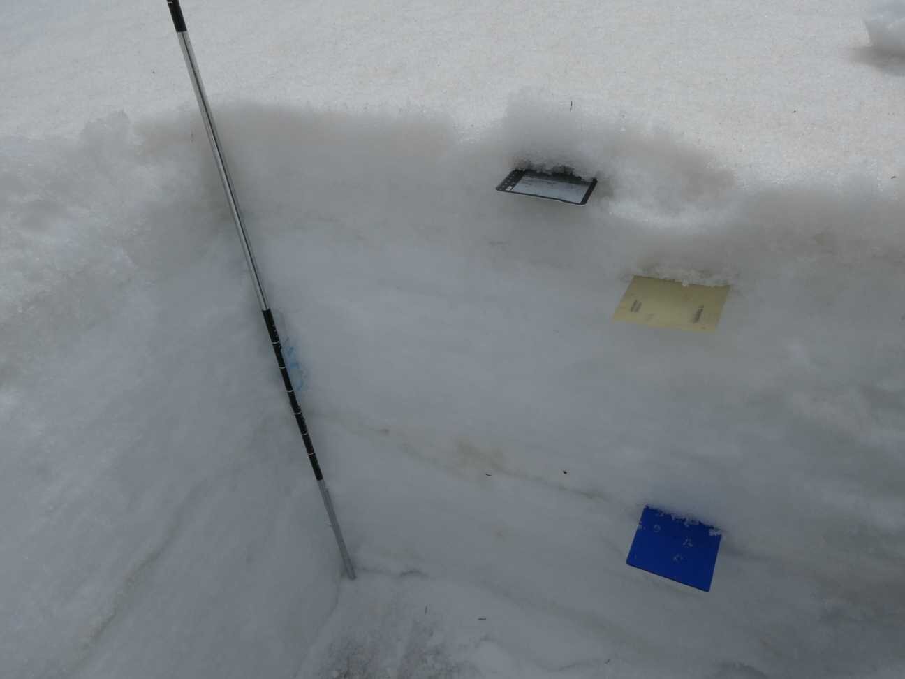
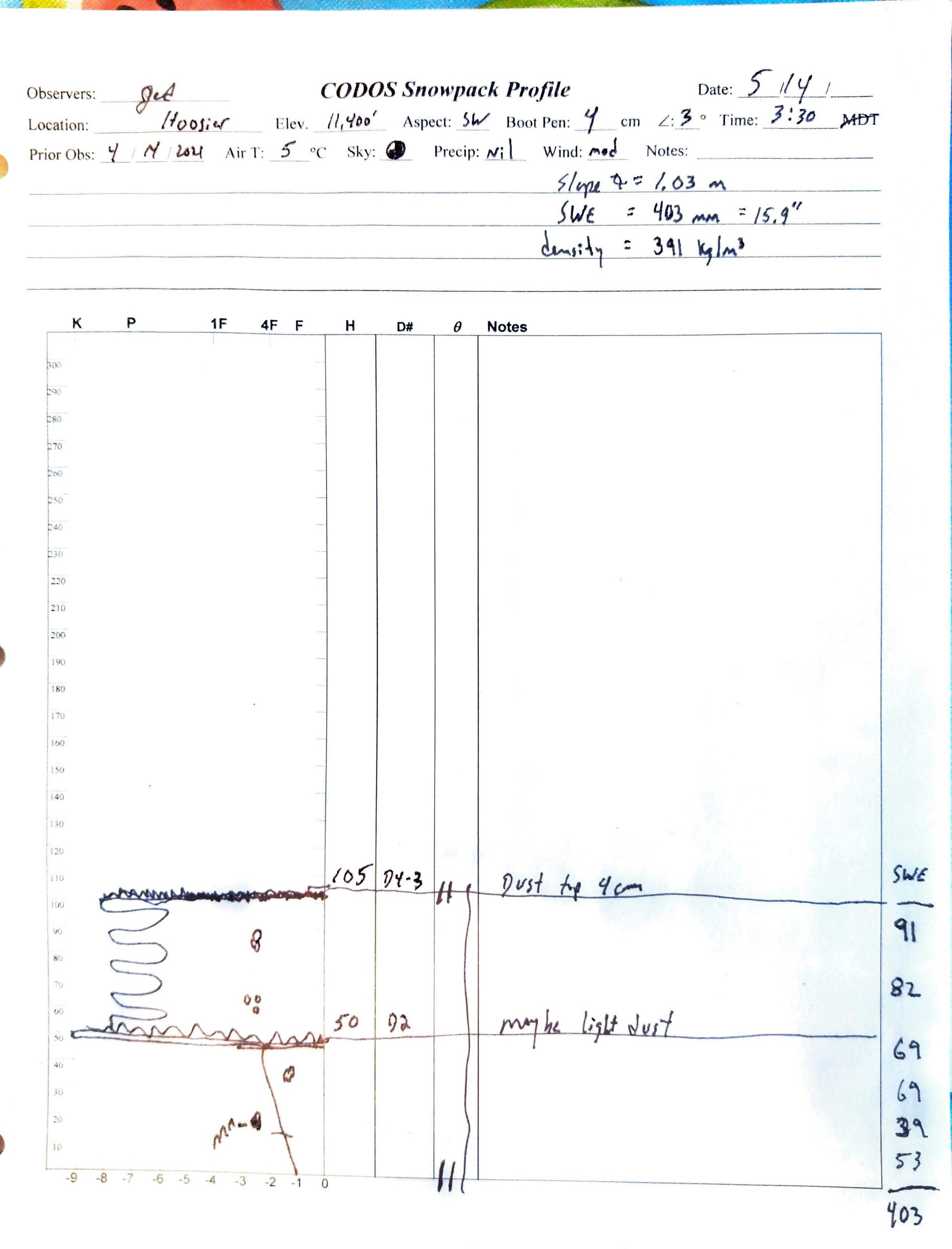
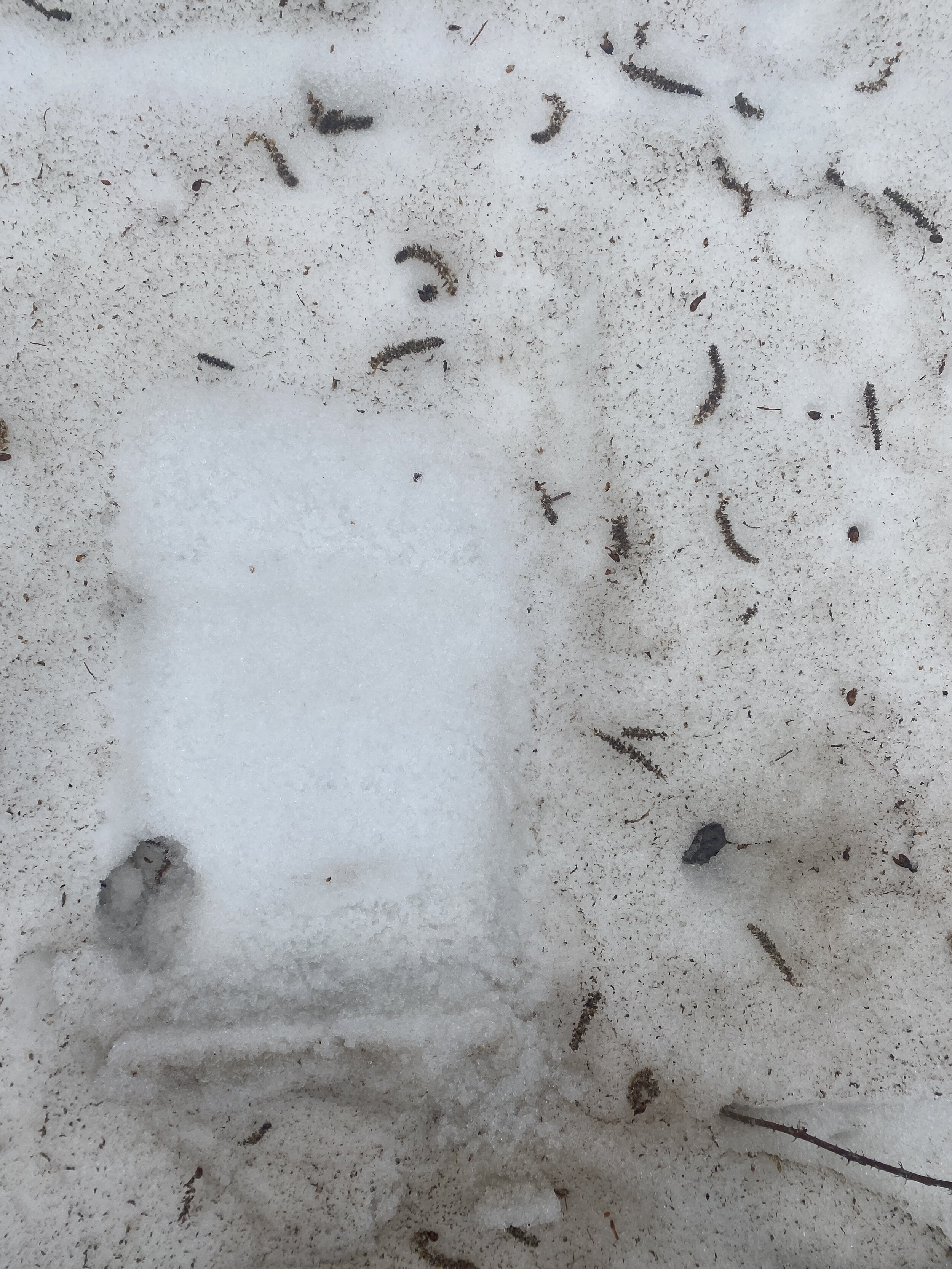
Berthoud Pass and the northeast mountains were treated very nicely by the productive storms April 26-28 and May 9-11. On Friday ~4” of new, clean, snow still overlaid the older and dustier surface. A notable dust layer has remained buried and is currently a little 1’ beneath surface. Some steeper slopes around Berthoud show snow slides on this significant dust layer. Loveland Pass (near Grizzly SNOTEL) benefitted a little from the last spring storm, however dust is now on the surface and other layers are 1’ below surface and mid-pack. Dust is equally severe at Hoosier Pass and on the surface.
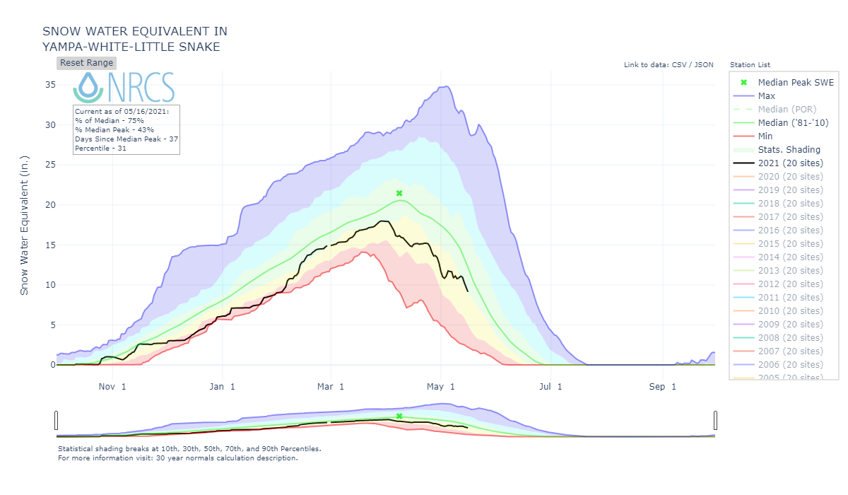
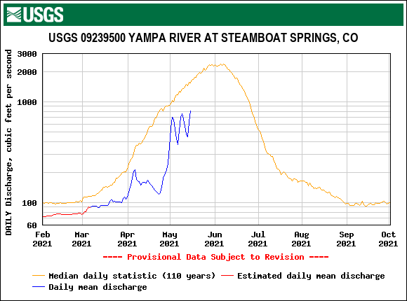
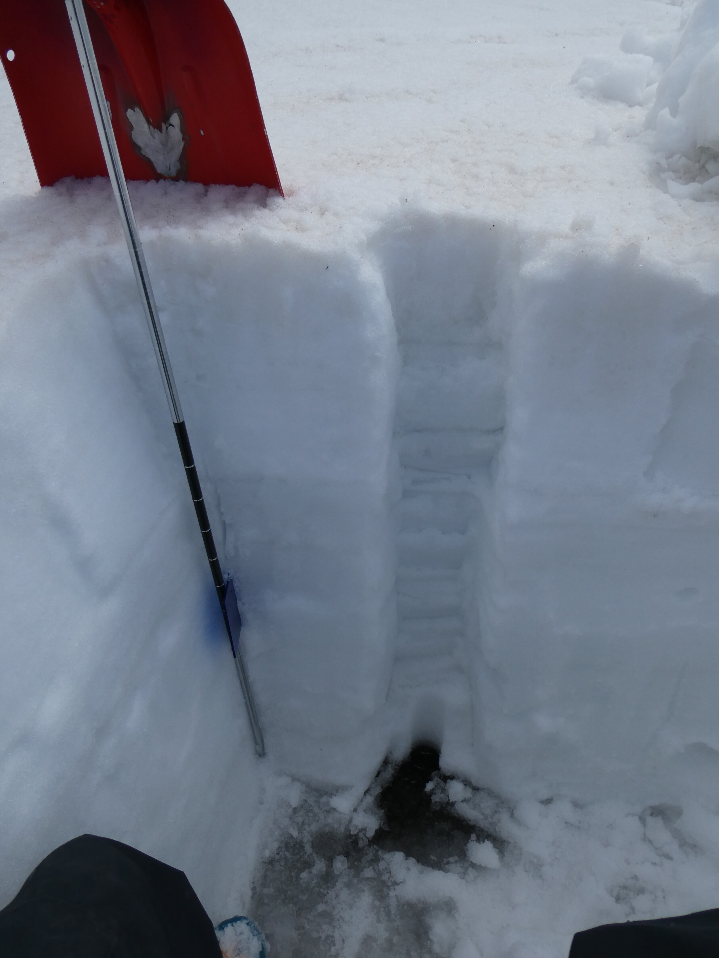
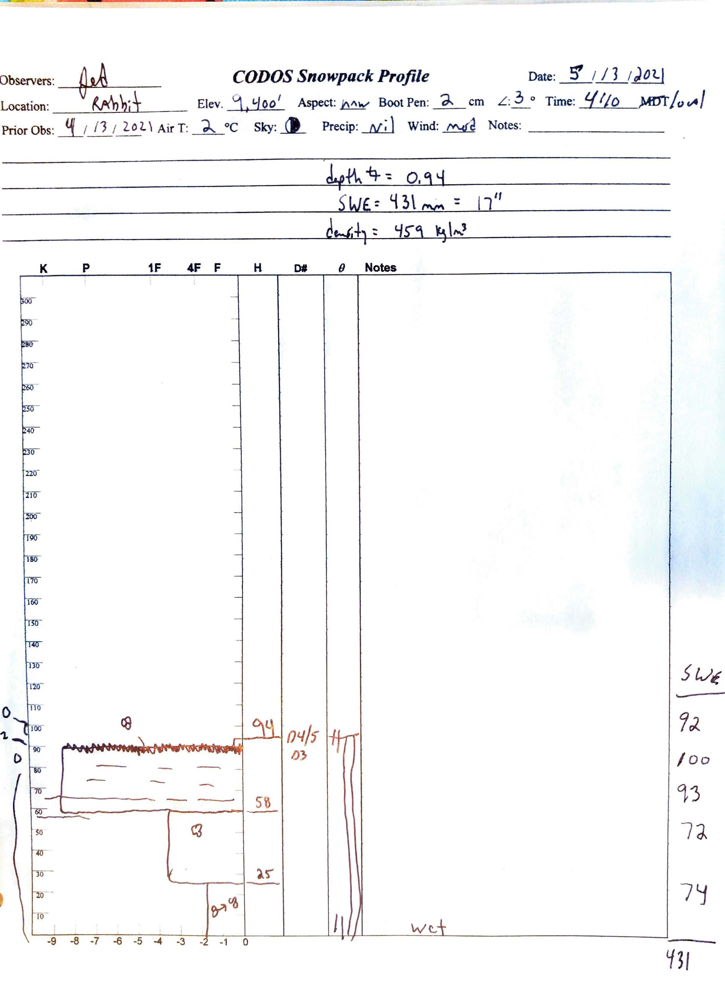
Rabbit Ears Pass near Steamboat has the season’s significant dust accumulation at surface and is melting the remaining snowpack quickly, about 1” a day when there is no inclement weather. On Thursday we measured 17.0” SWE at the CODOS site while Rabbit Ears SNOTEL reported 8.4”. Snow was gone at Willow Creek sample site but the SNOTEL station, located in a treed area with more northerly aspect, reported 11.1”.
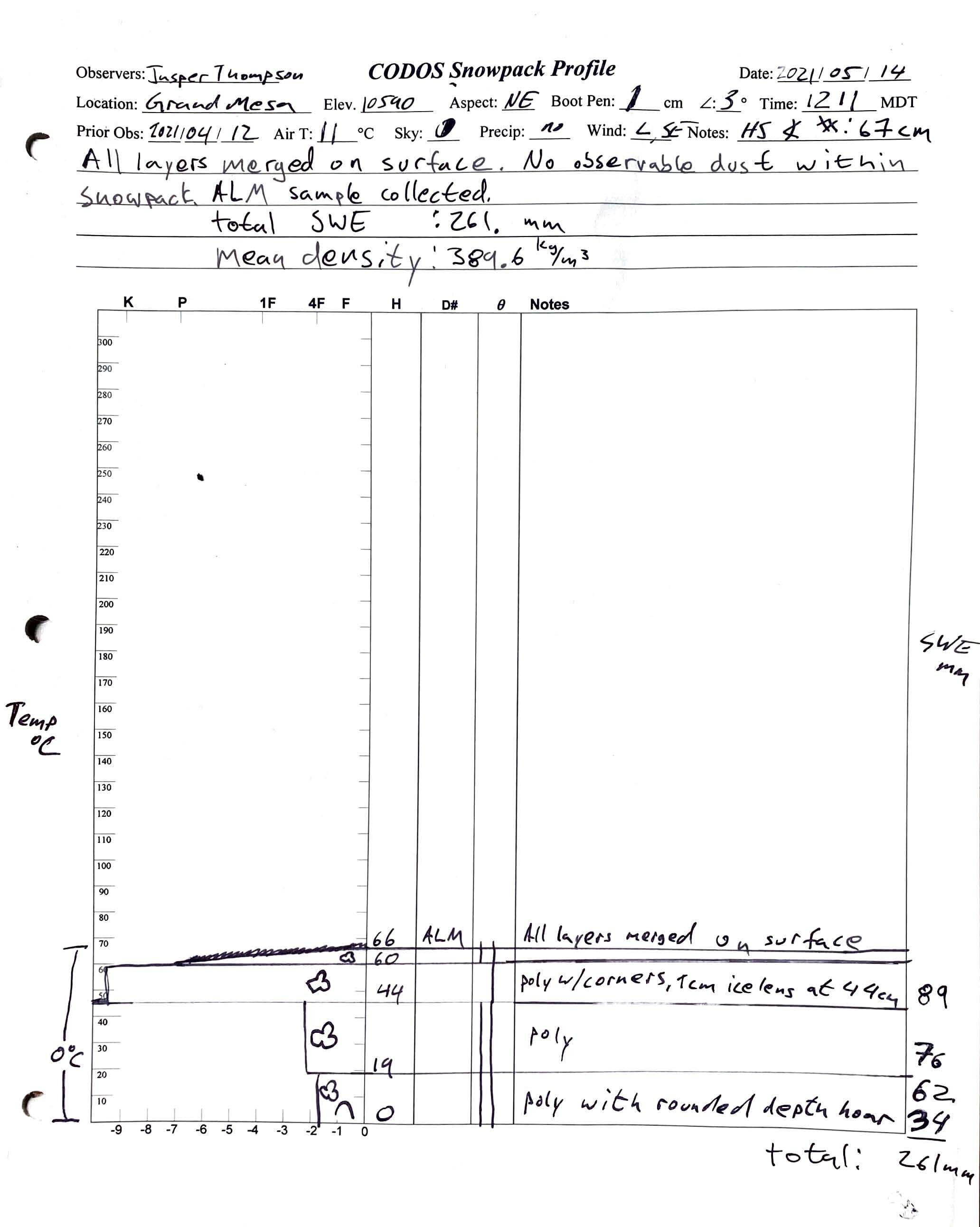
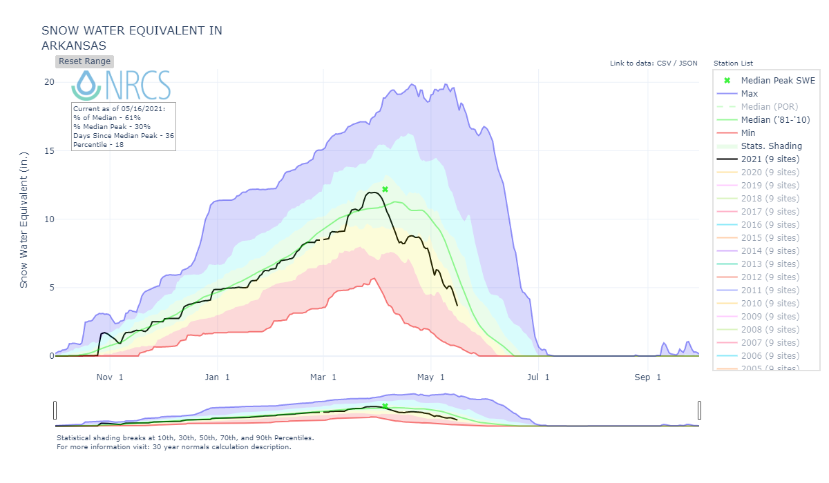
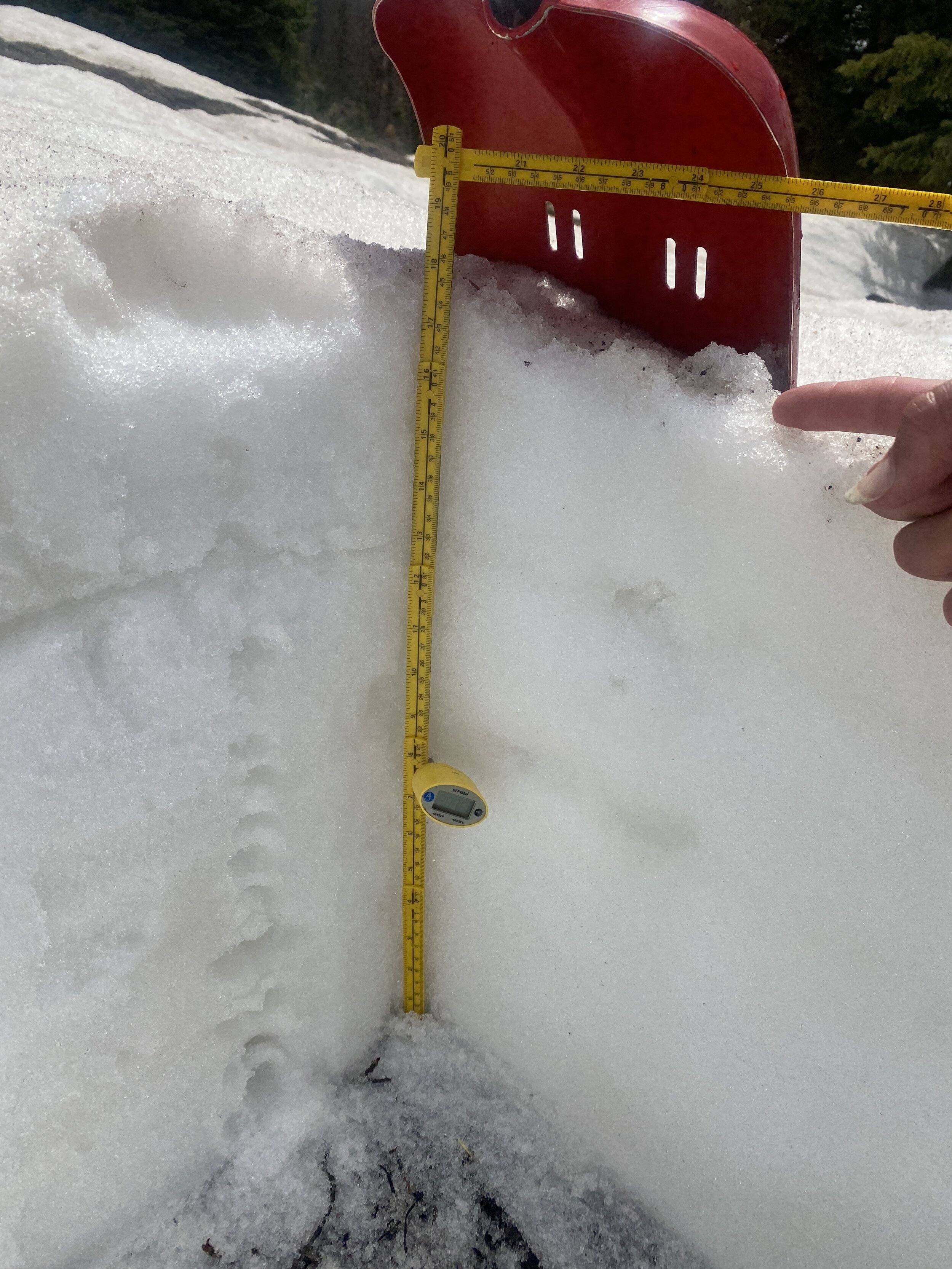
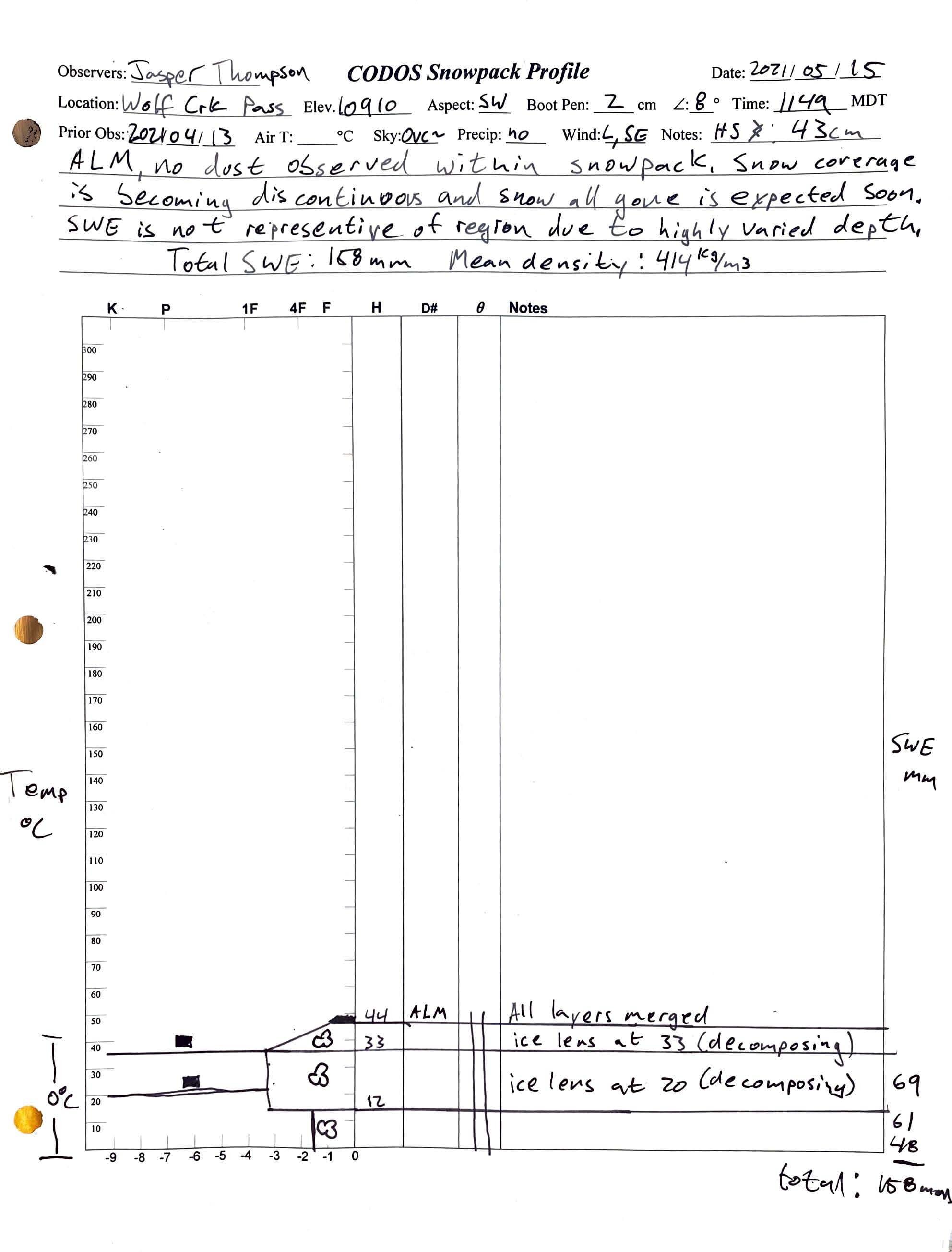
Grand Mesa is holding onto 10.3” SWE with dust at the surface (Grand Mesa SNOTEL reports 2.5”). Our sample sites are located in somewhat open terrain to capture regional dust deposition. In a similar open environment Wolfe Creek had less snow than expected, less than Grand Mesa even. We measured 6.2” SWE while Wolf Cr. SNOTEL (again a treed and more northerly aspect) was reporting 18.4”).
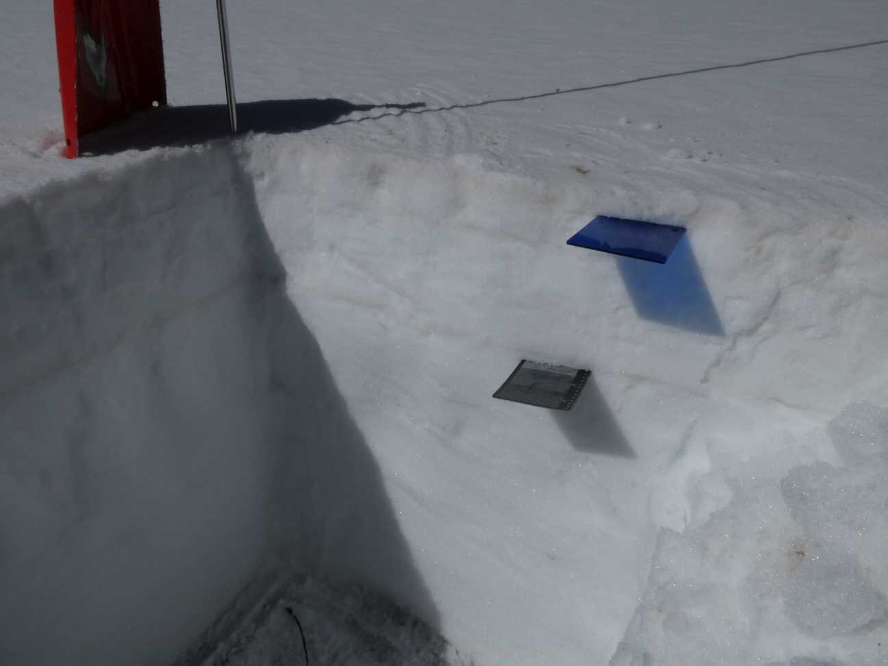
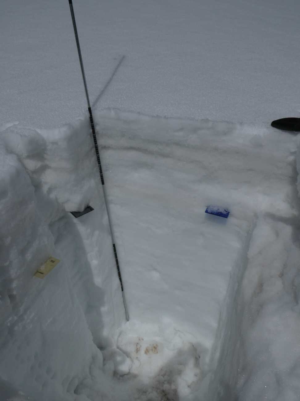
We collected samples of all the dust accumulation over the winter at CODOS sites except at Berthoud and Loveland where significant snow remains and significant dust remains under the surface. We will return to these two locations to collect samples once all dust has merged at snow surface but before snow ablation is complete.
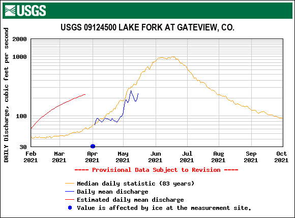
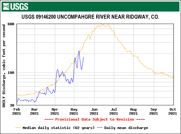
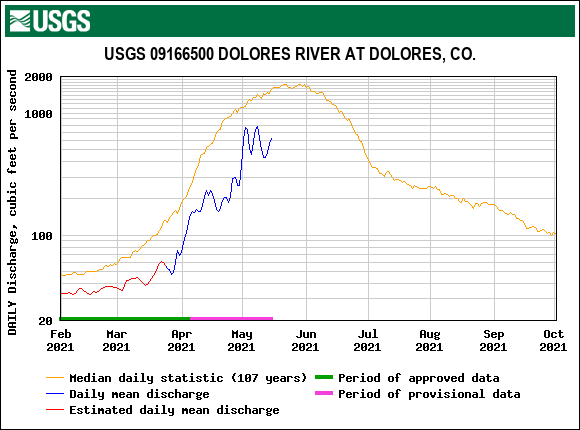
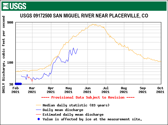
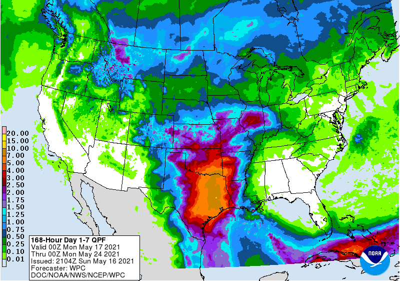
The low streamflows are striking and estimated May- July streamflow volumes are forecasted to be less than 60% of average in the UCRB. North central/eastern Colorado is drought free (impressive how the South Platte Basin pulled off a pretty successful snow season). The rest of Colorado, and most of the West, is gripped in very worrisome dry conditions.
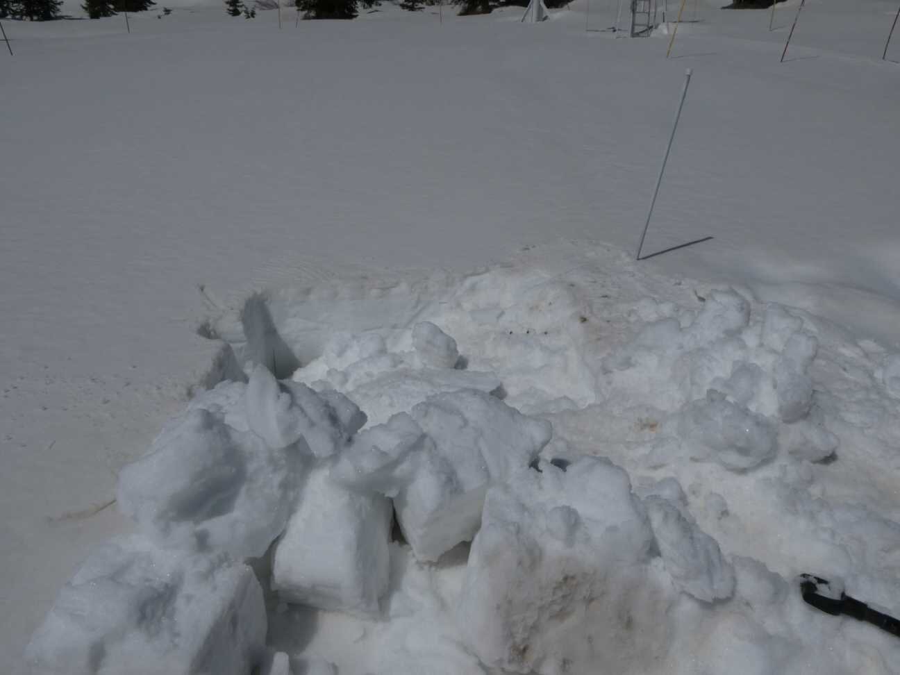
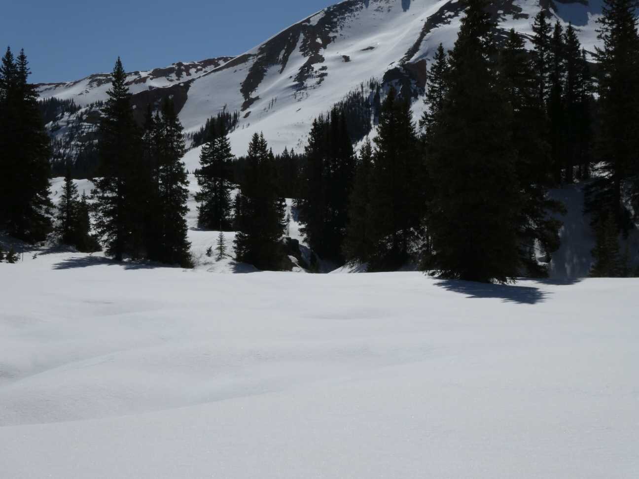
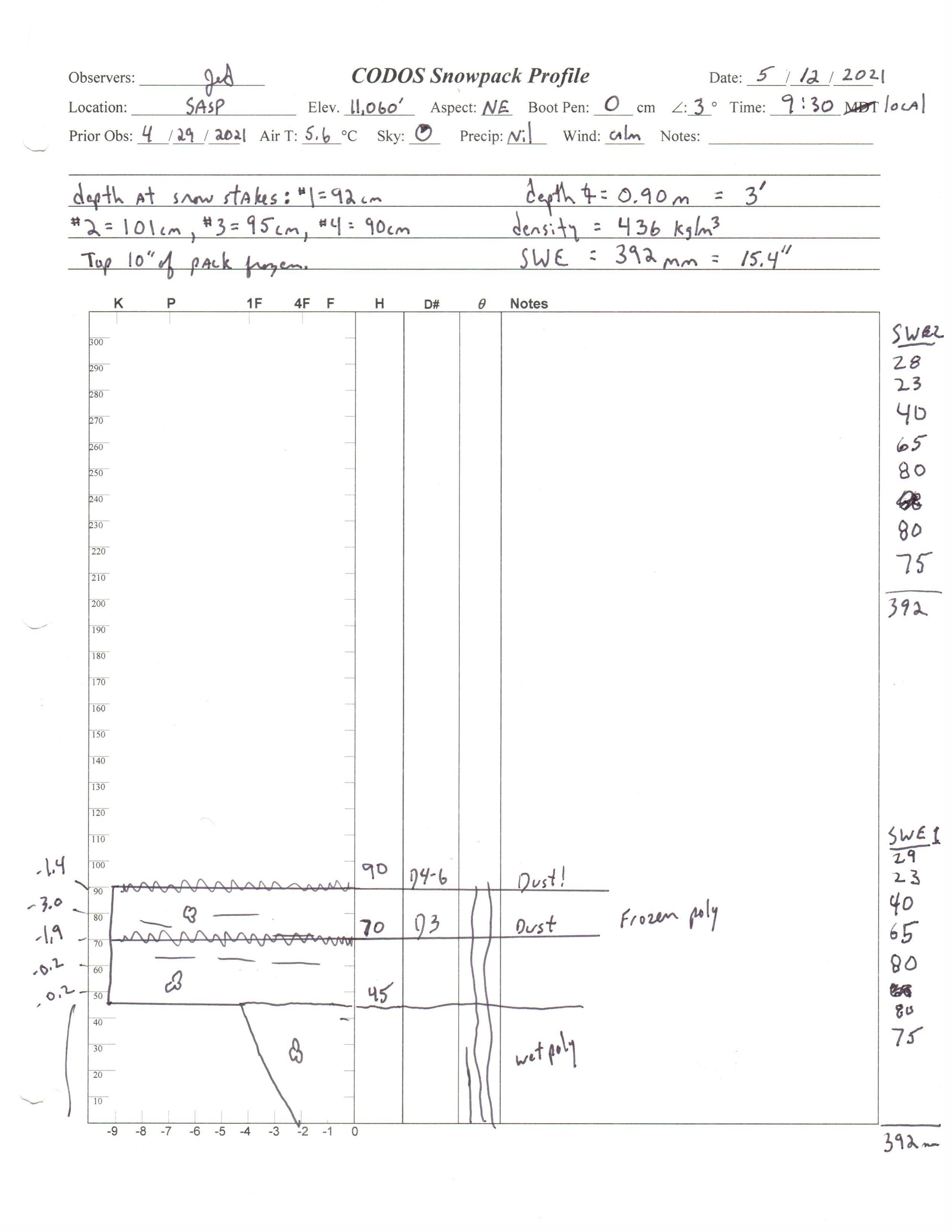
Please see pictures, plots, and snow profiles below.
Take care,

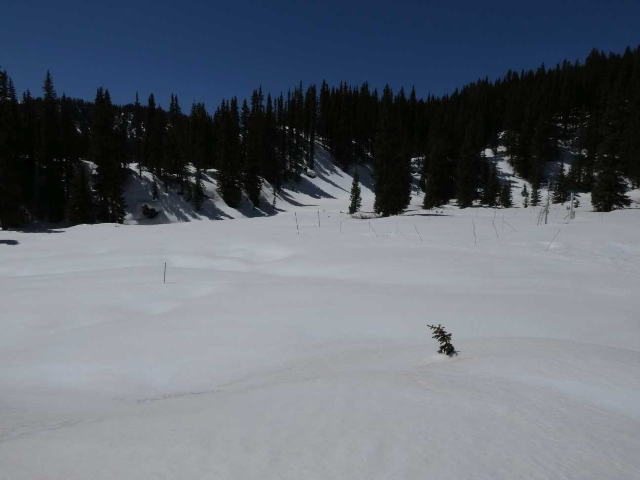
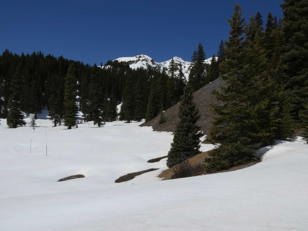
Swamp Angel Study Plot - May 12
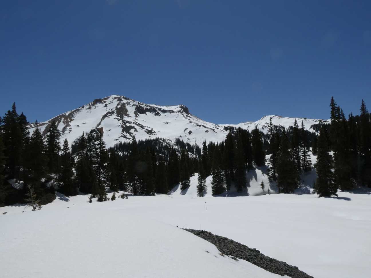
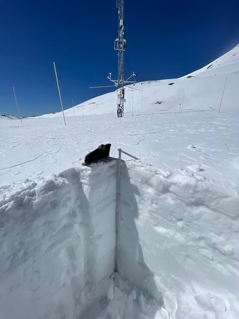
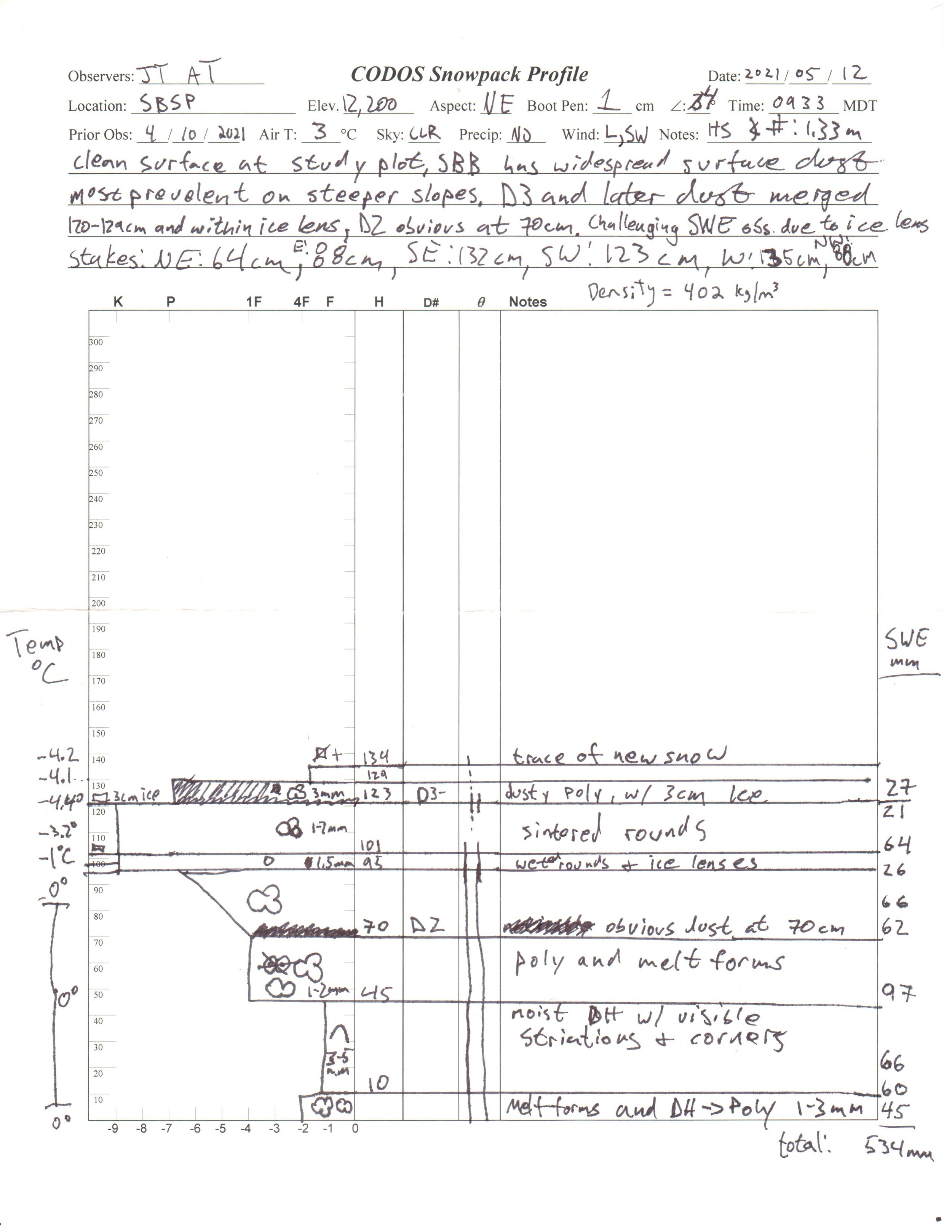
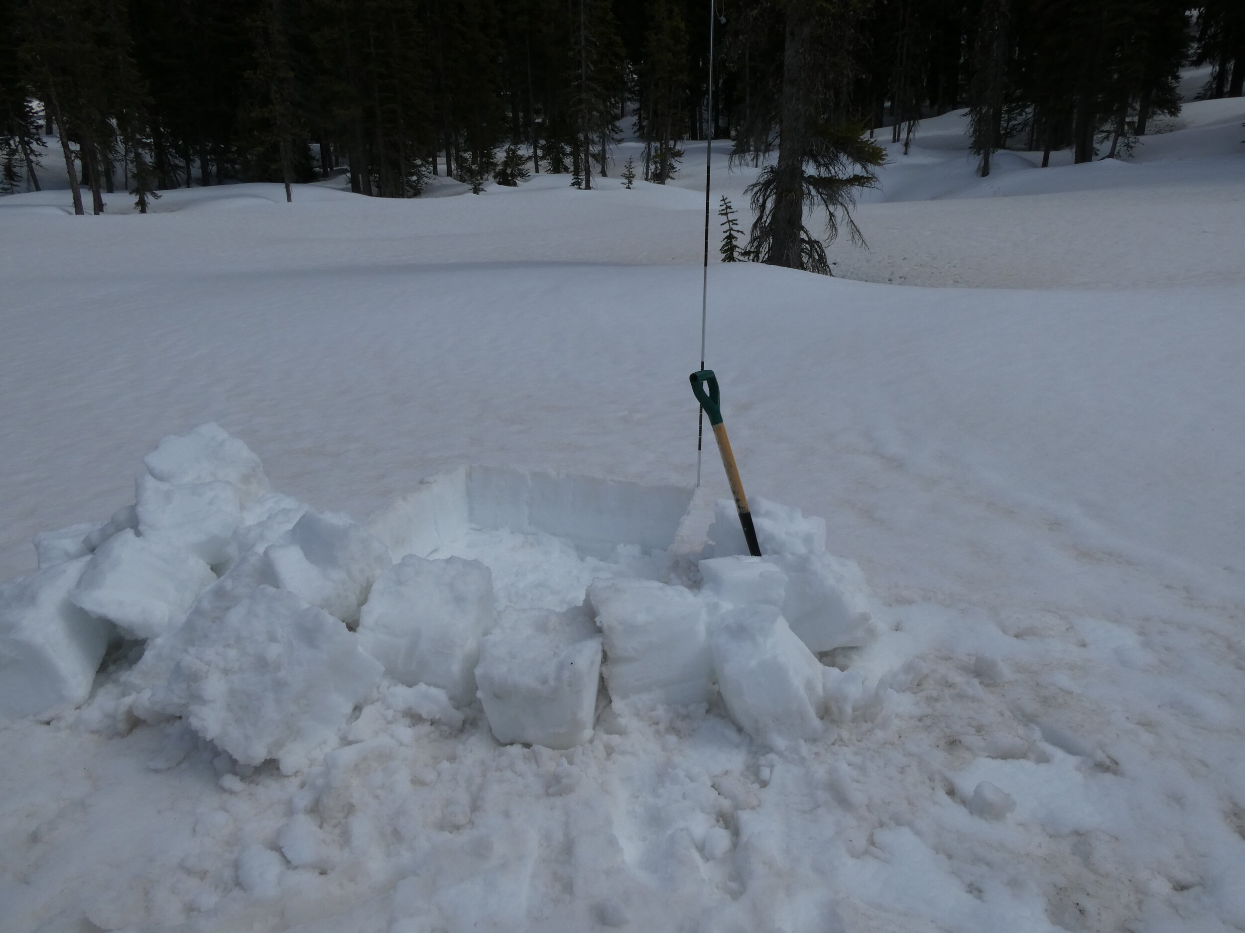
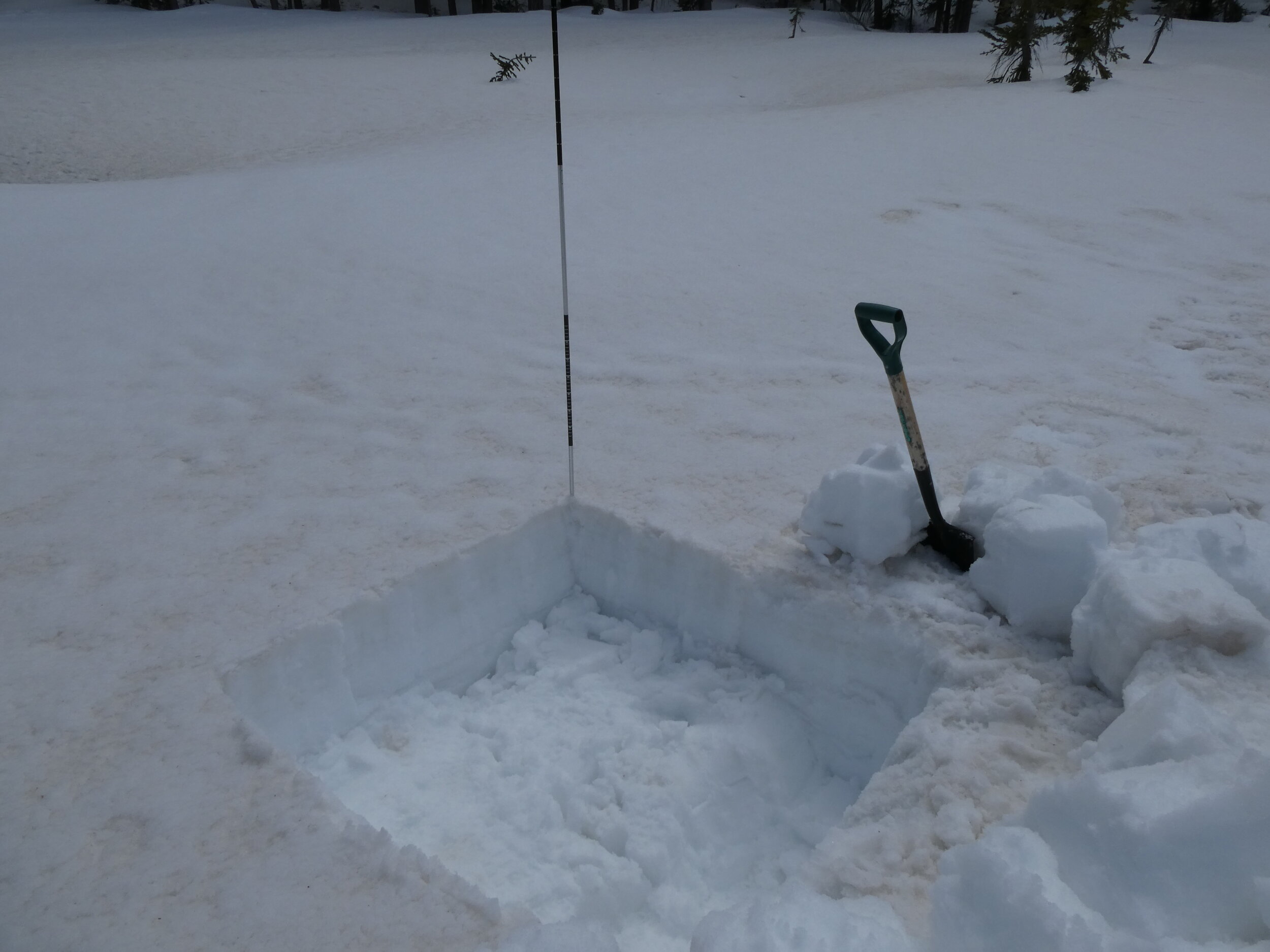
Senator Beck Study Plot - MAY 12
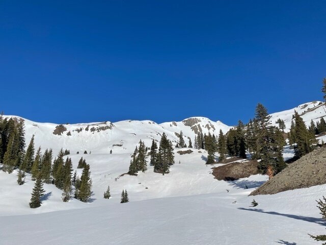
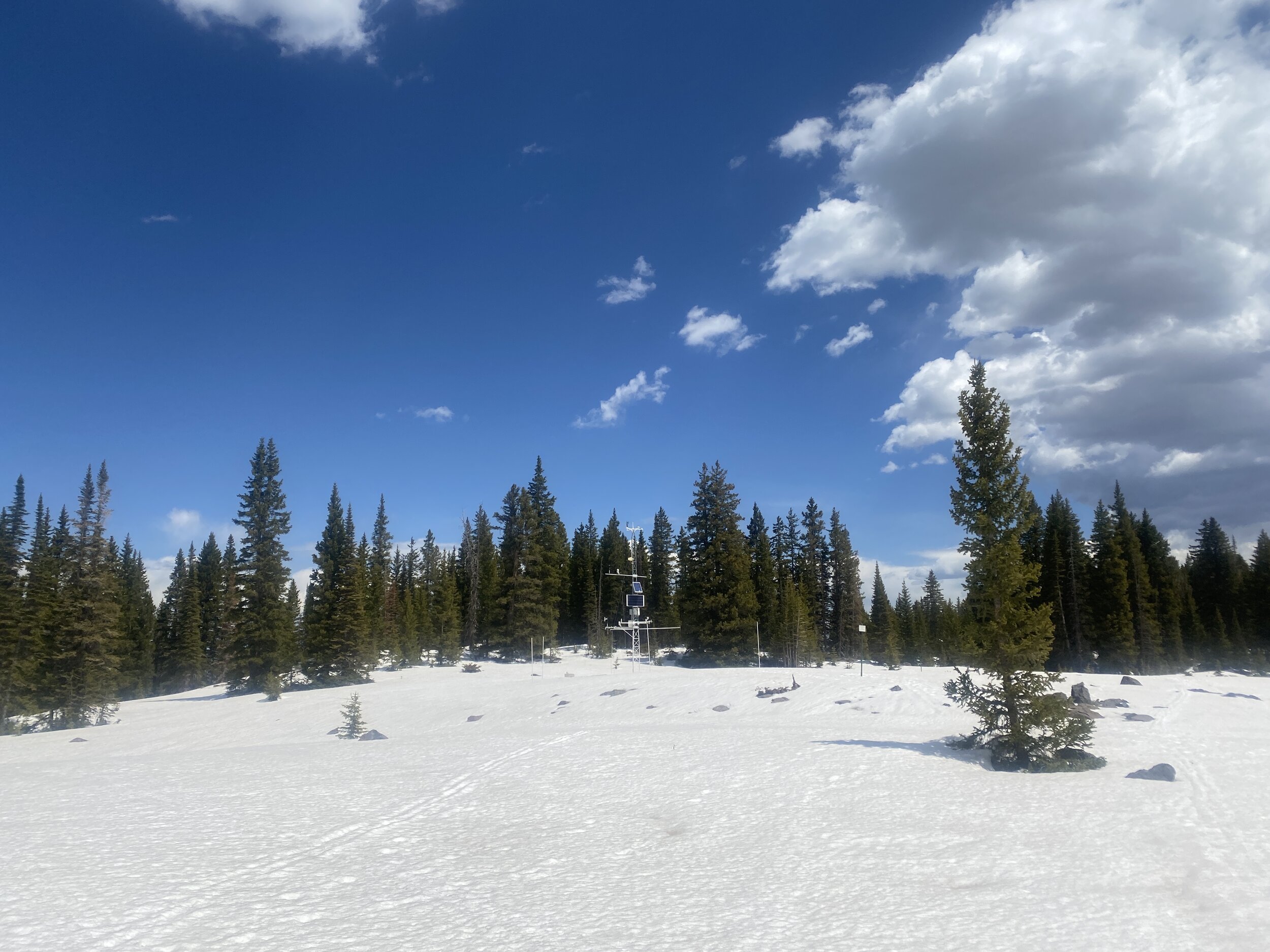
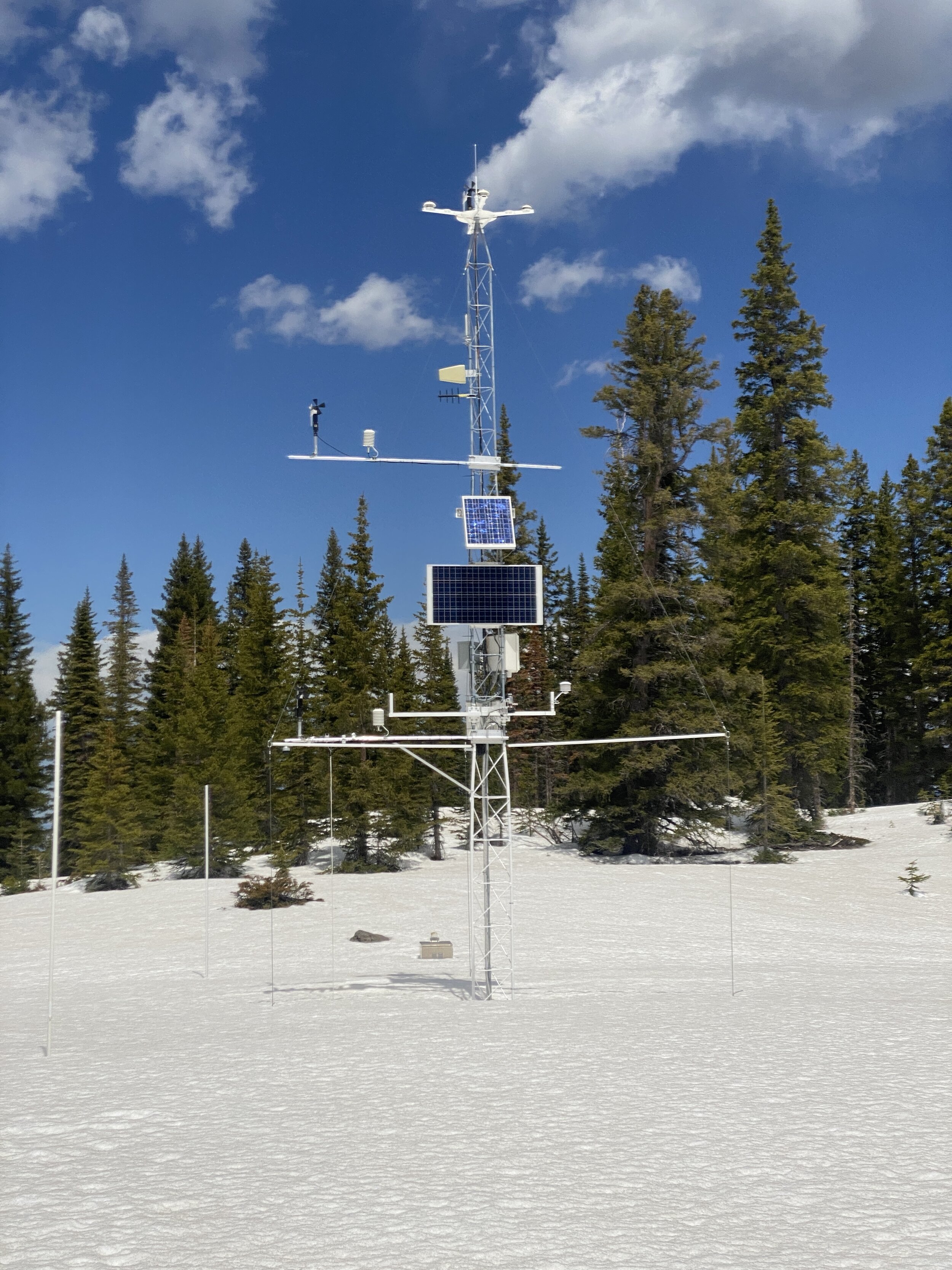
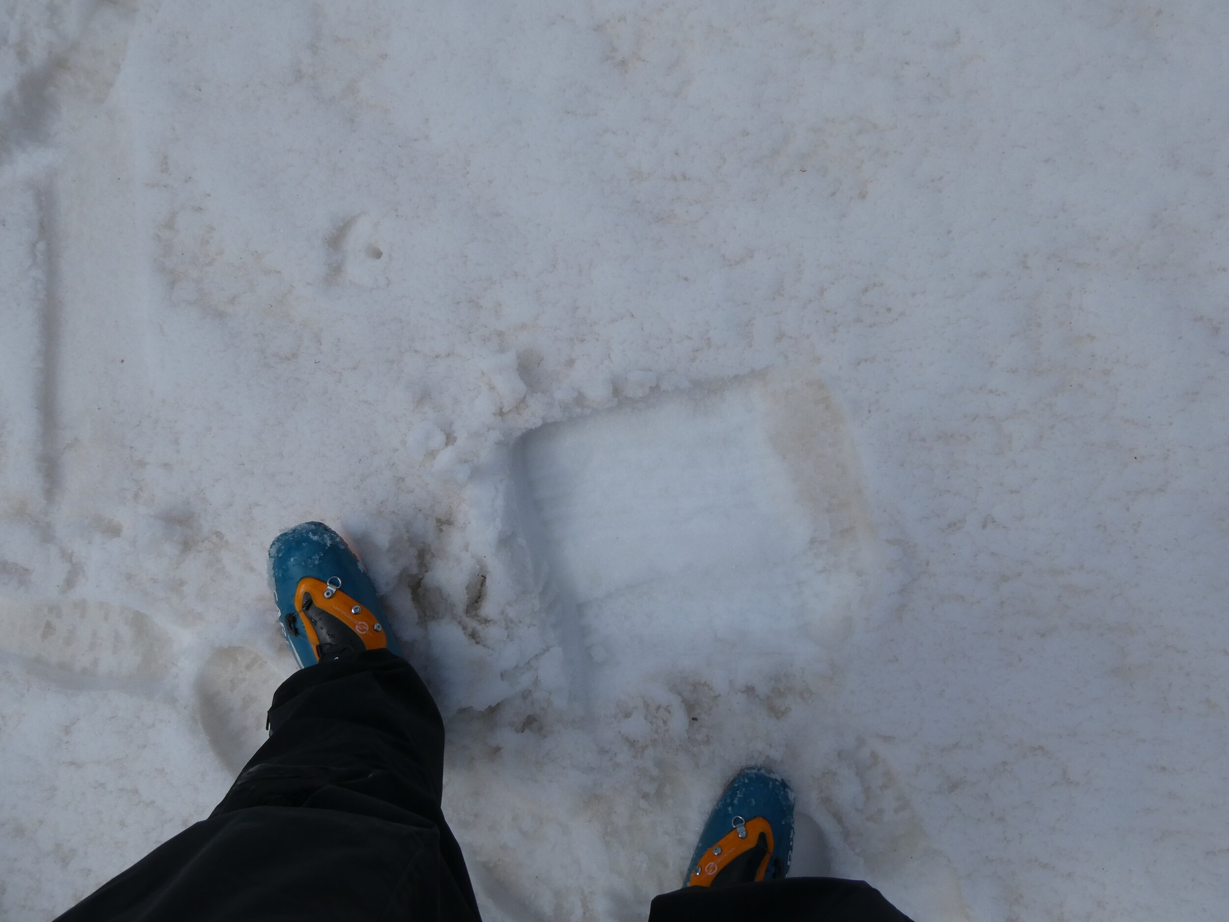
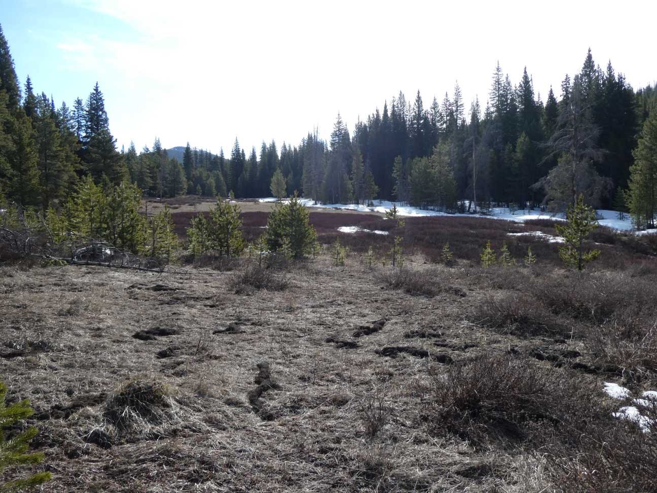
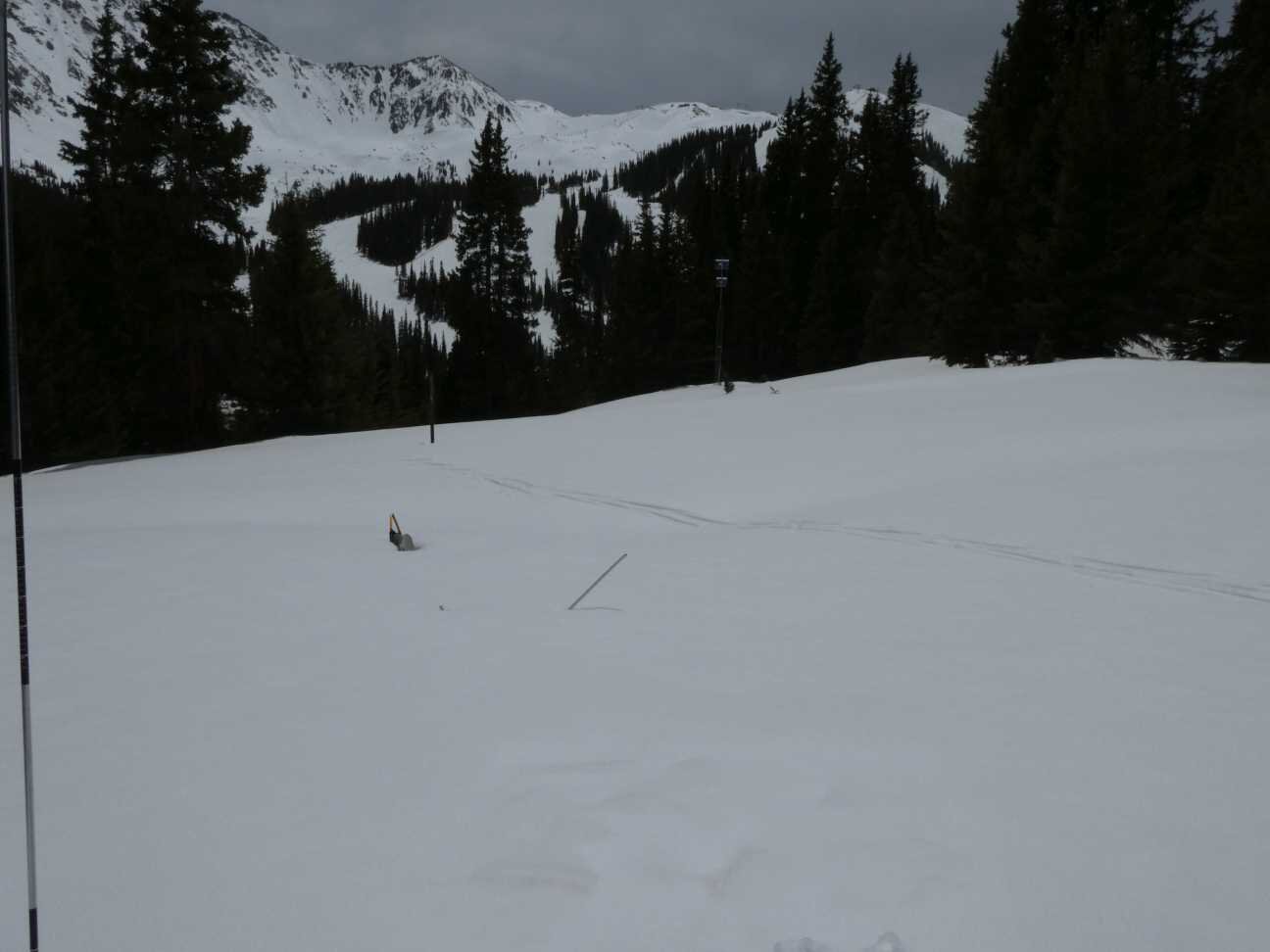
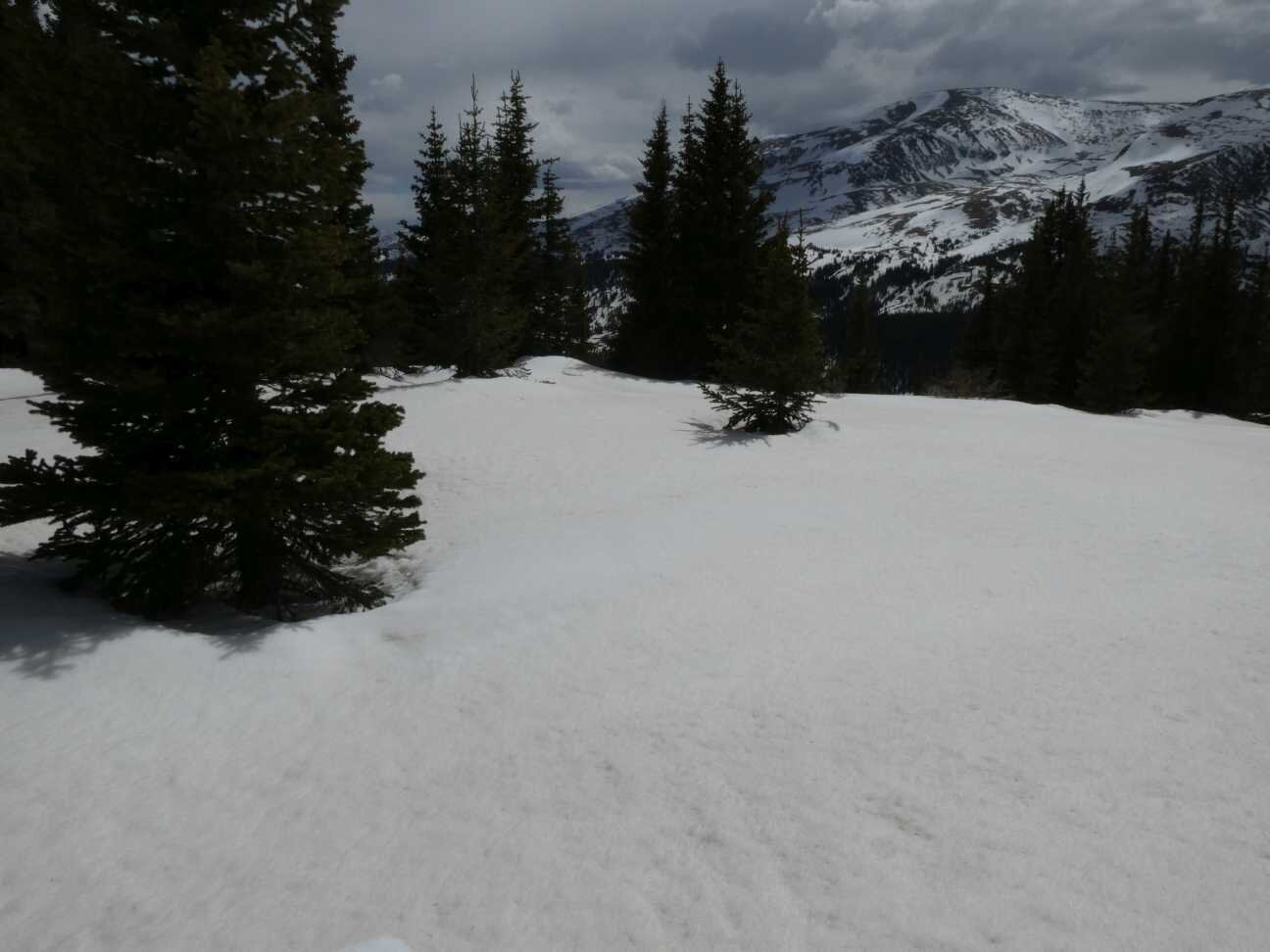
Rabbit Ears Pass - May 13

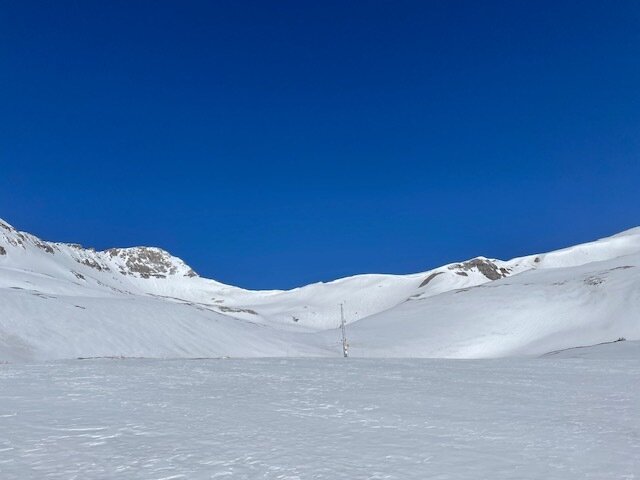
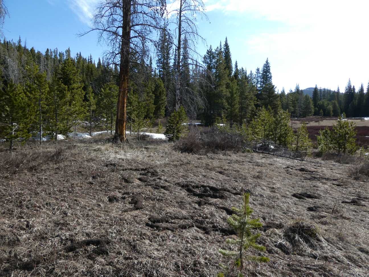
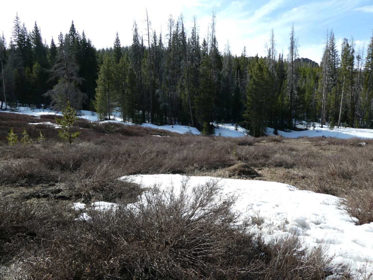
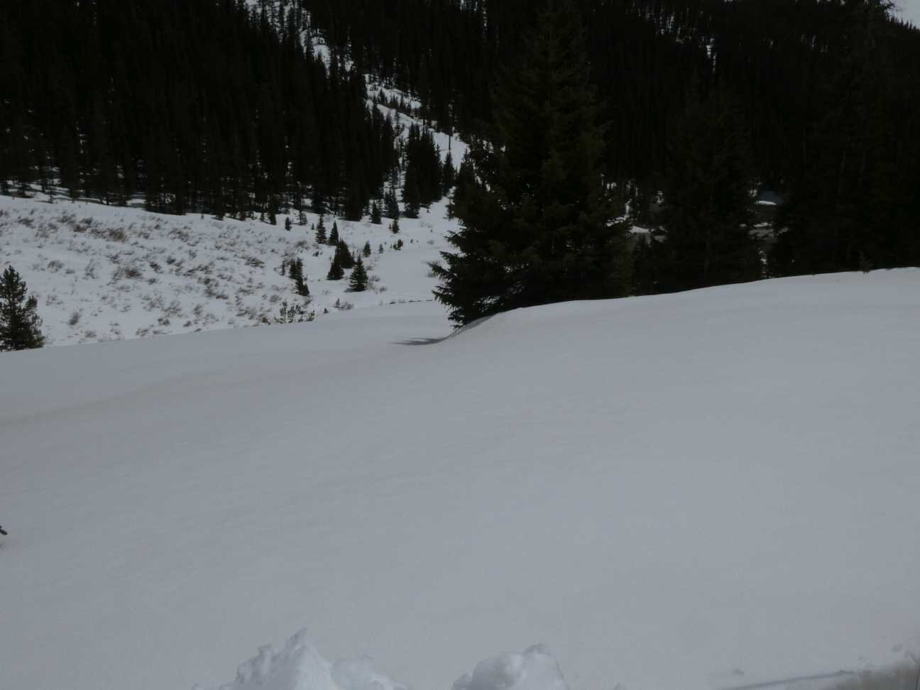
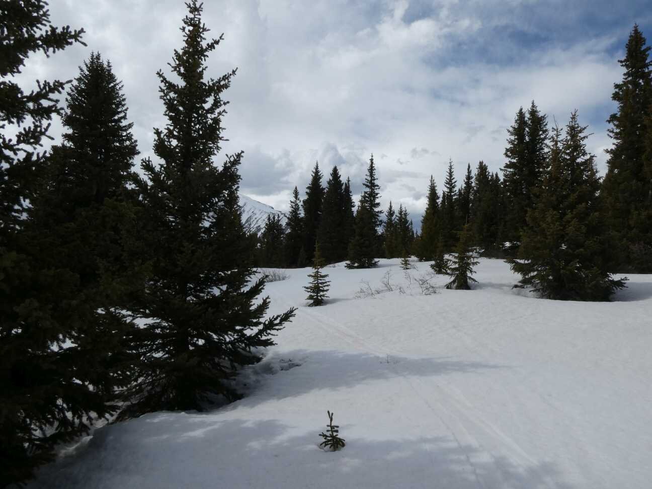
Willow Creek Pass - May 14
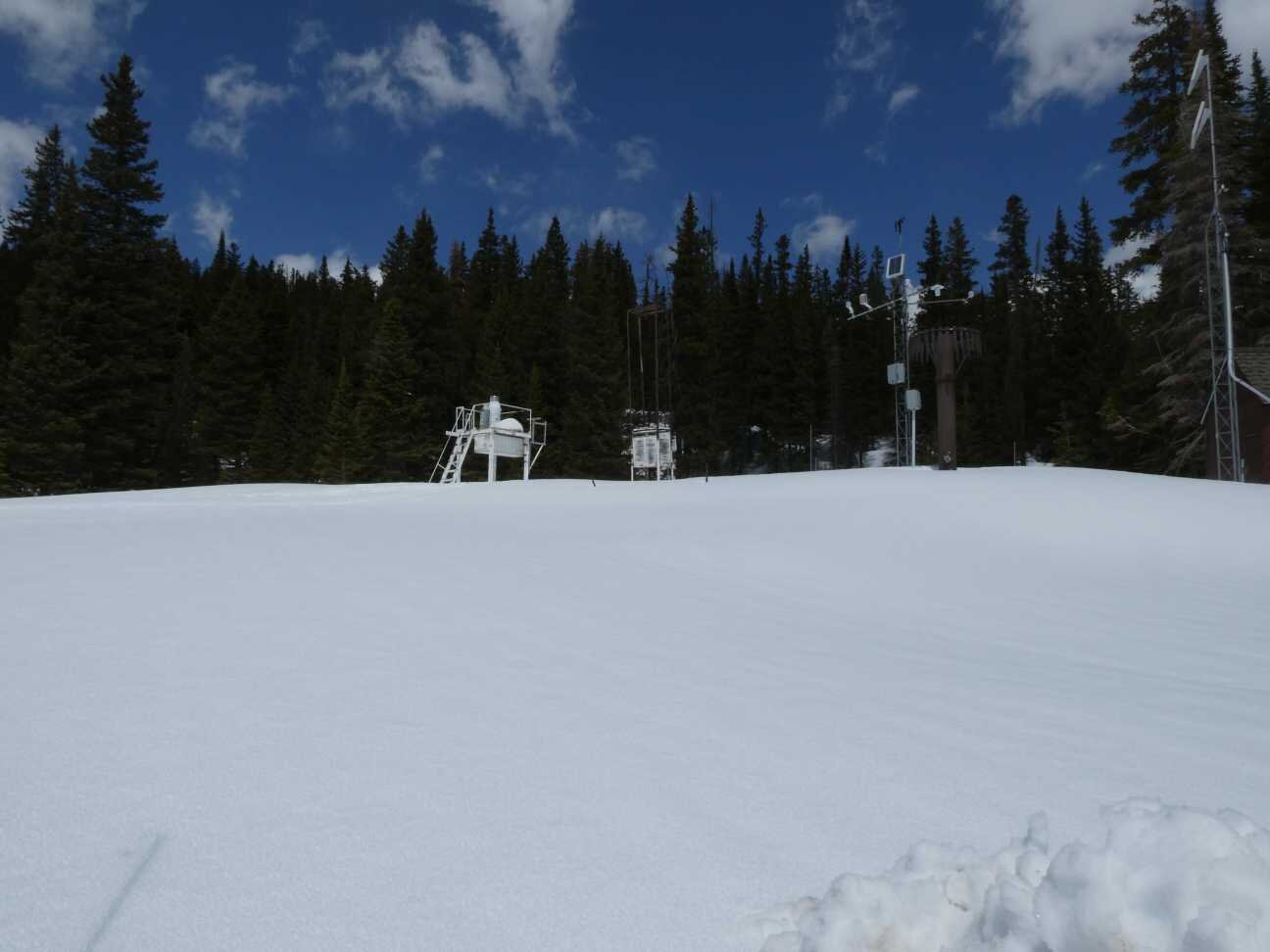
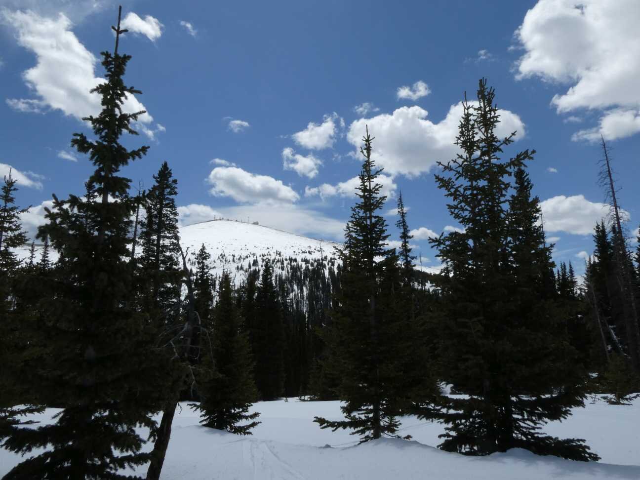
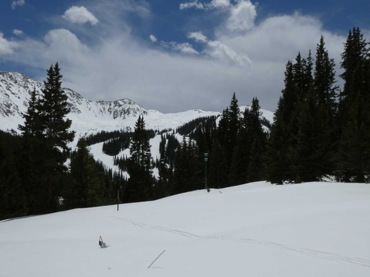
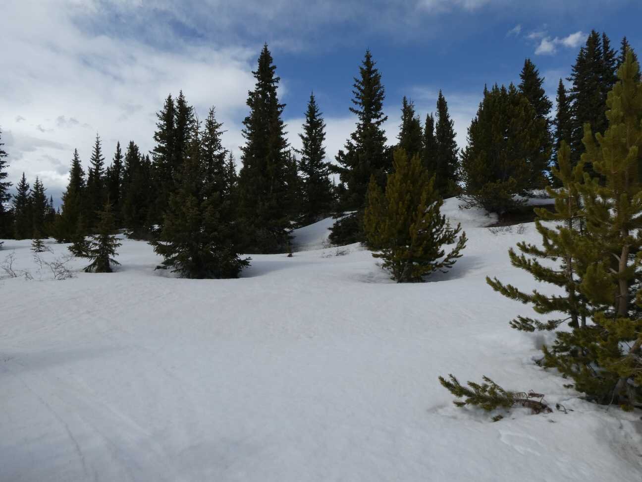
Berthoud Pass - MAy 14
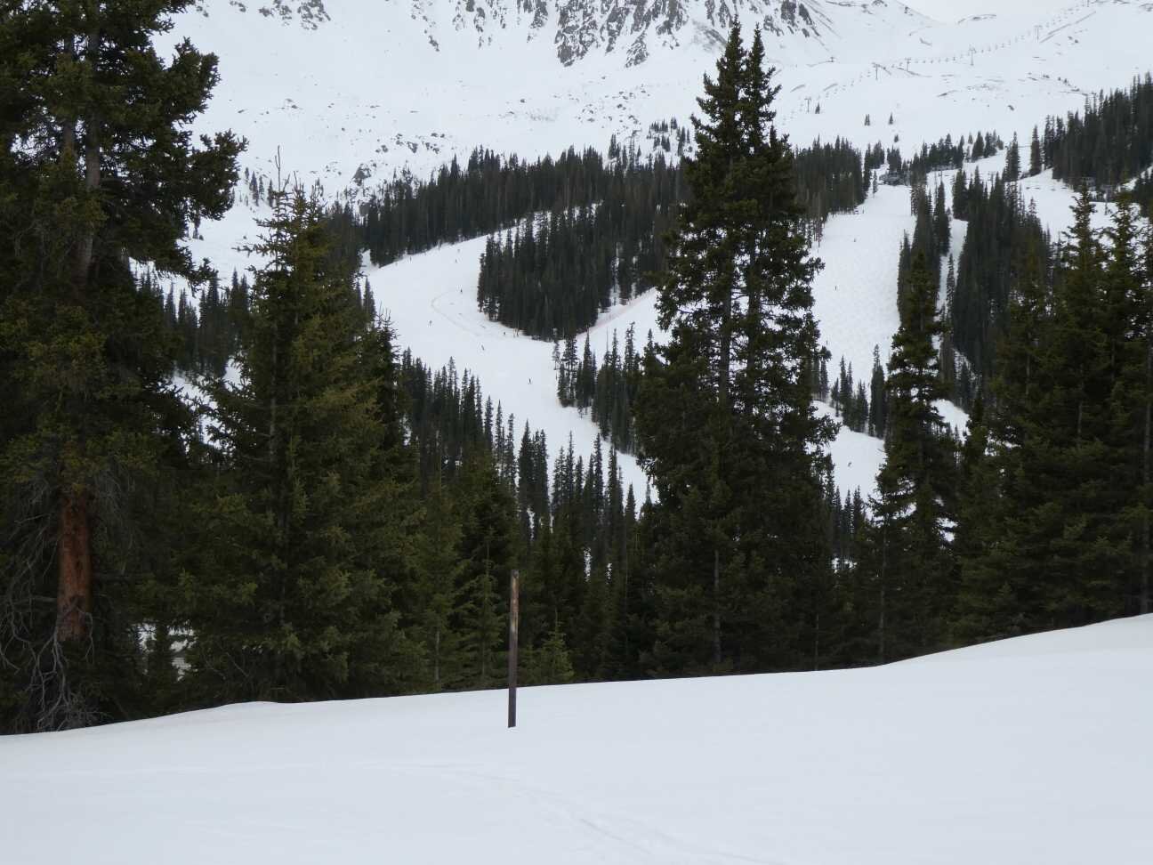
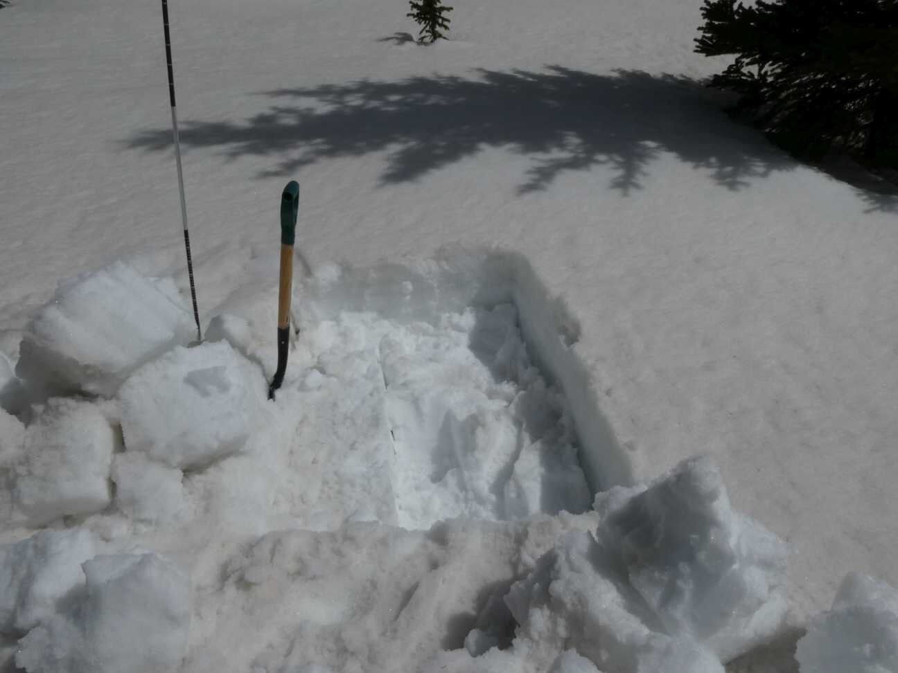
Loveland Pass - MAY 14

Hoosier Pass - MAY 14
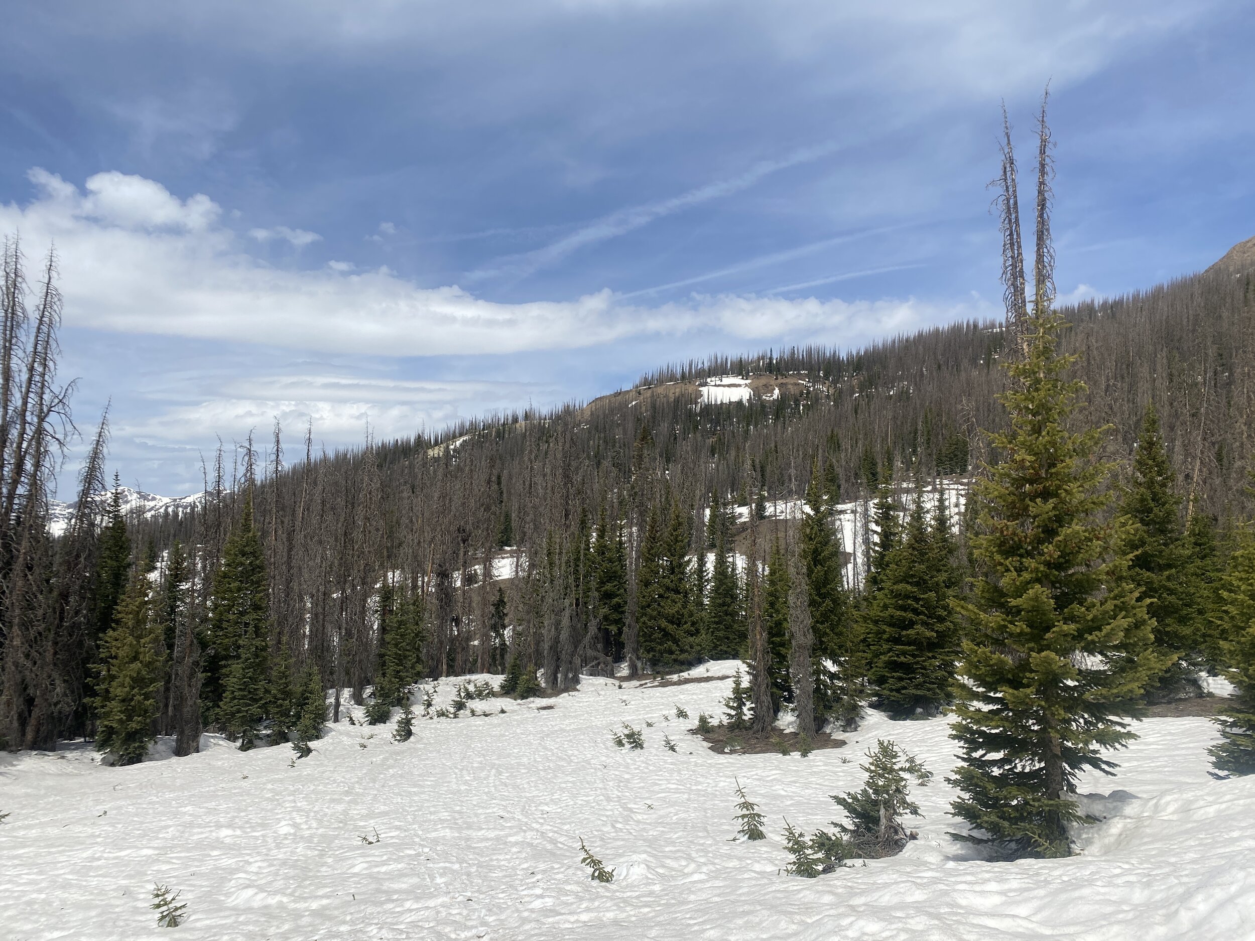
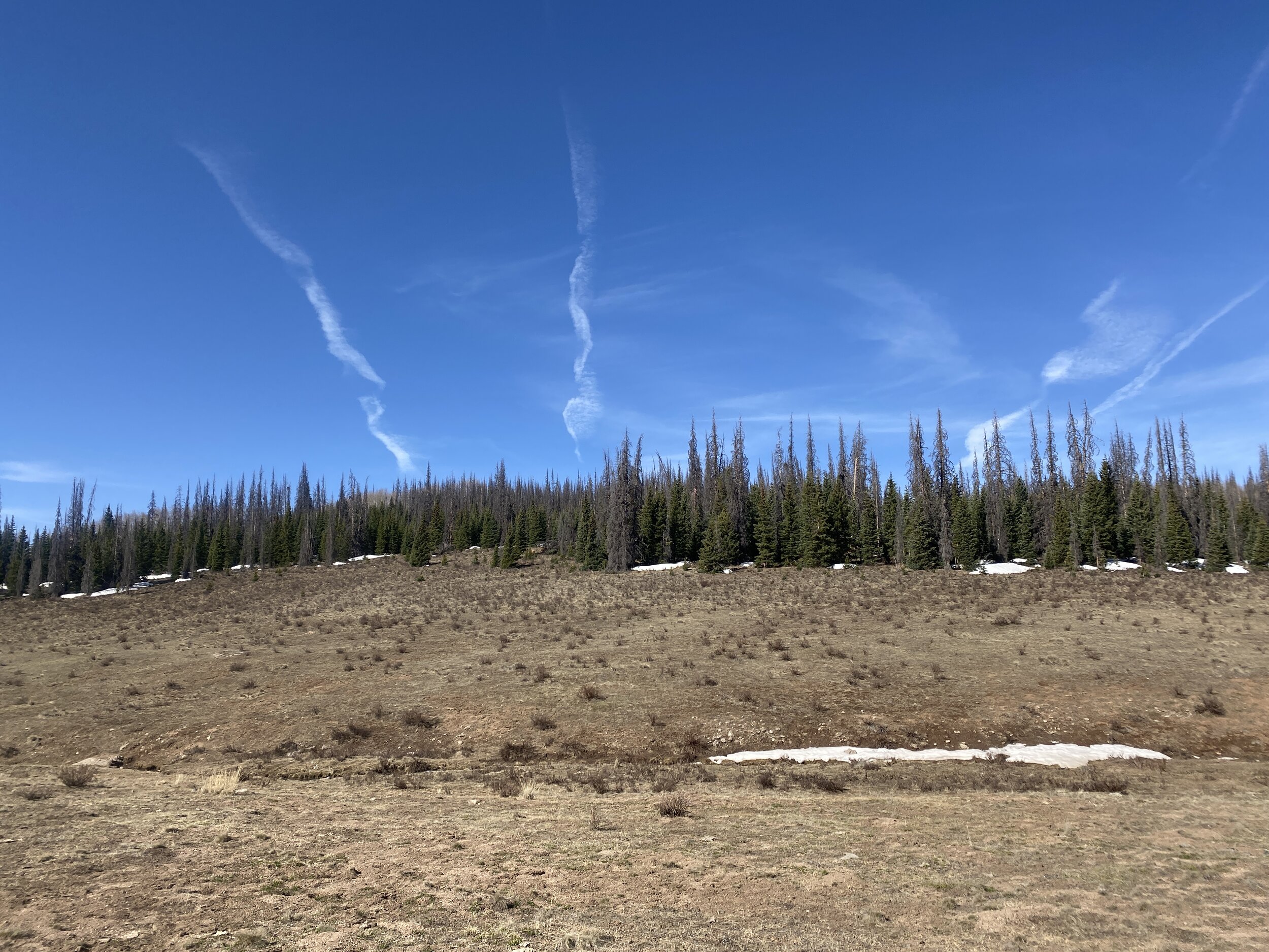
Wolf Creek Pass - MAY 15
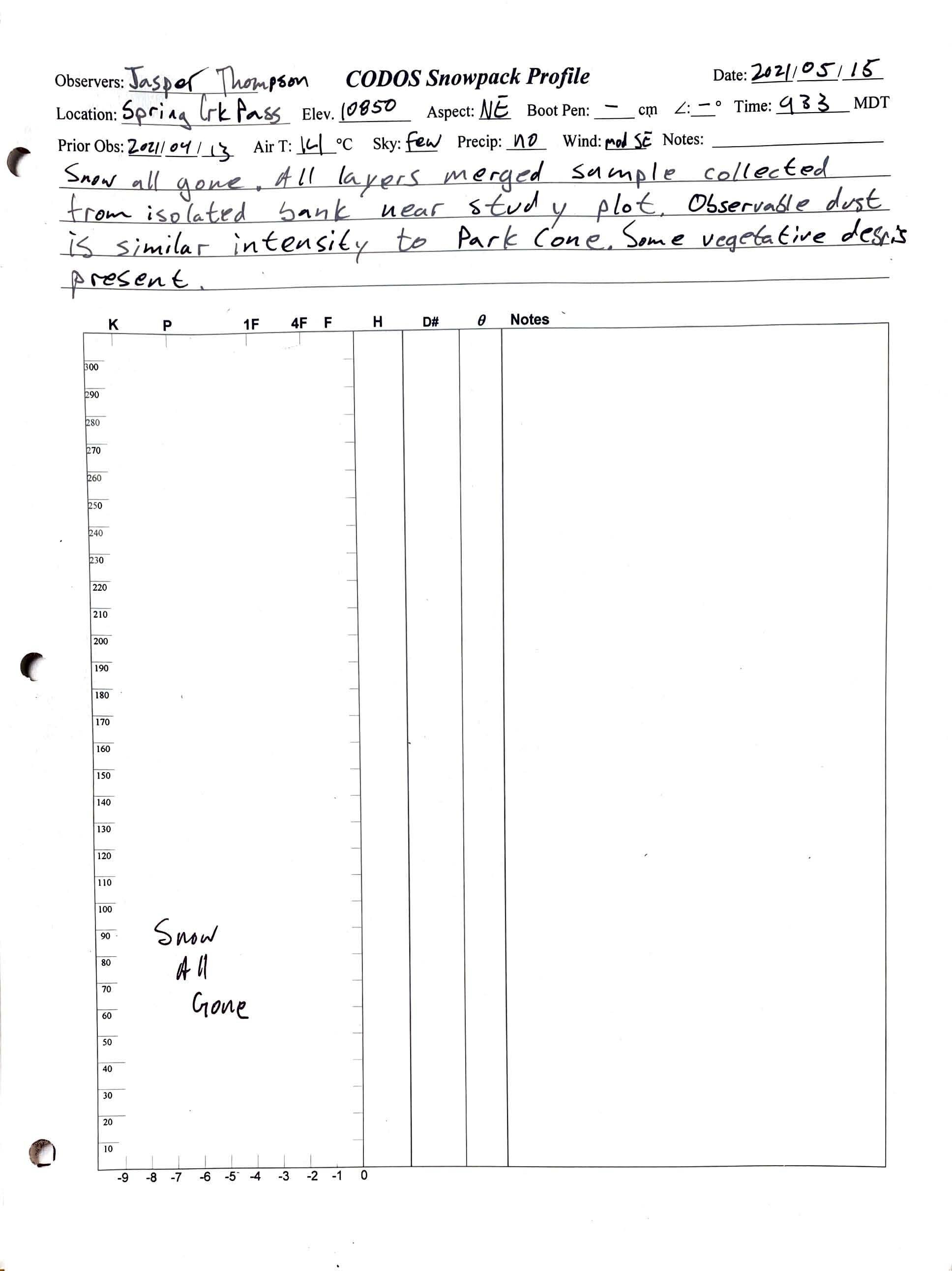
Spring Creek Pass - MAY 15
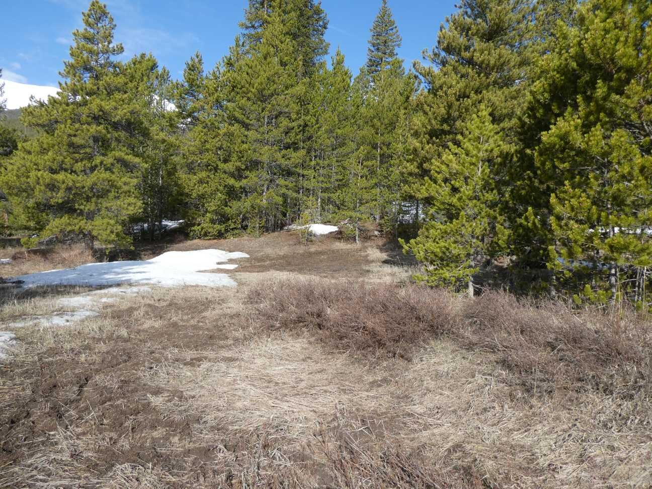
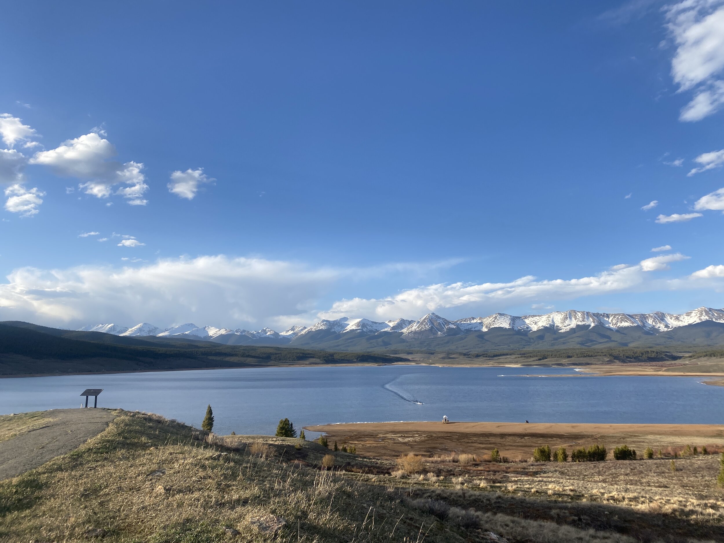
Park Cone - MAy 14
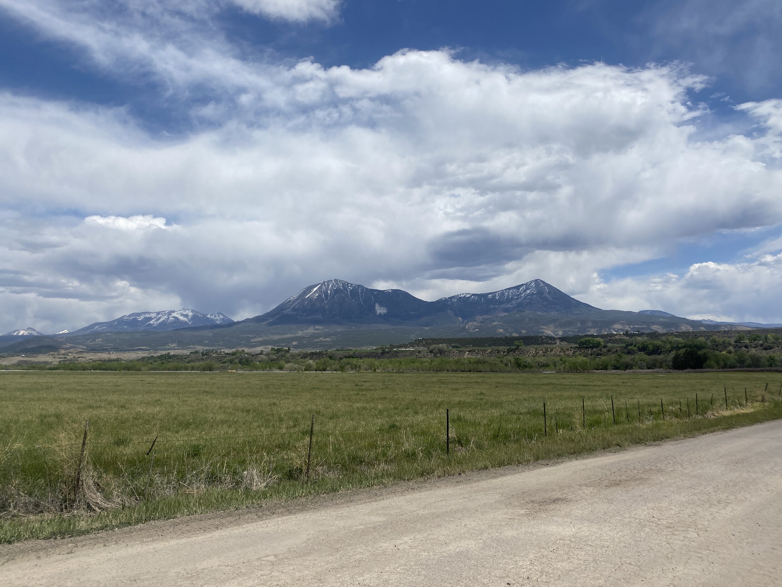
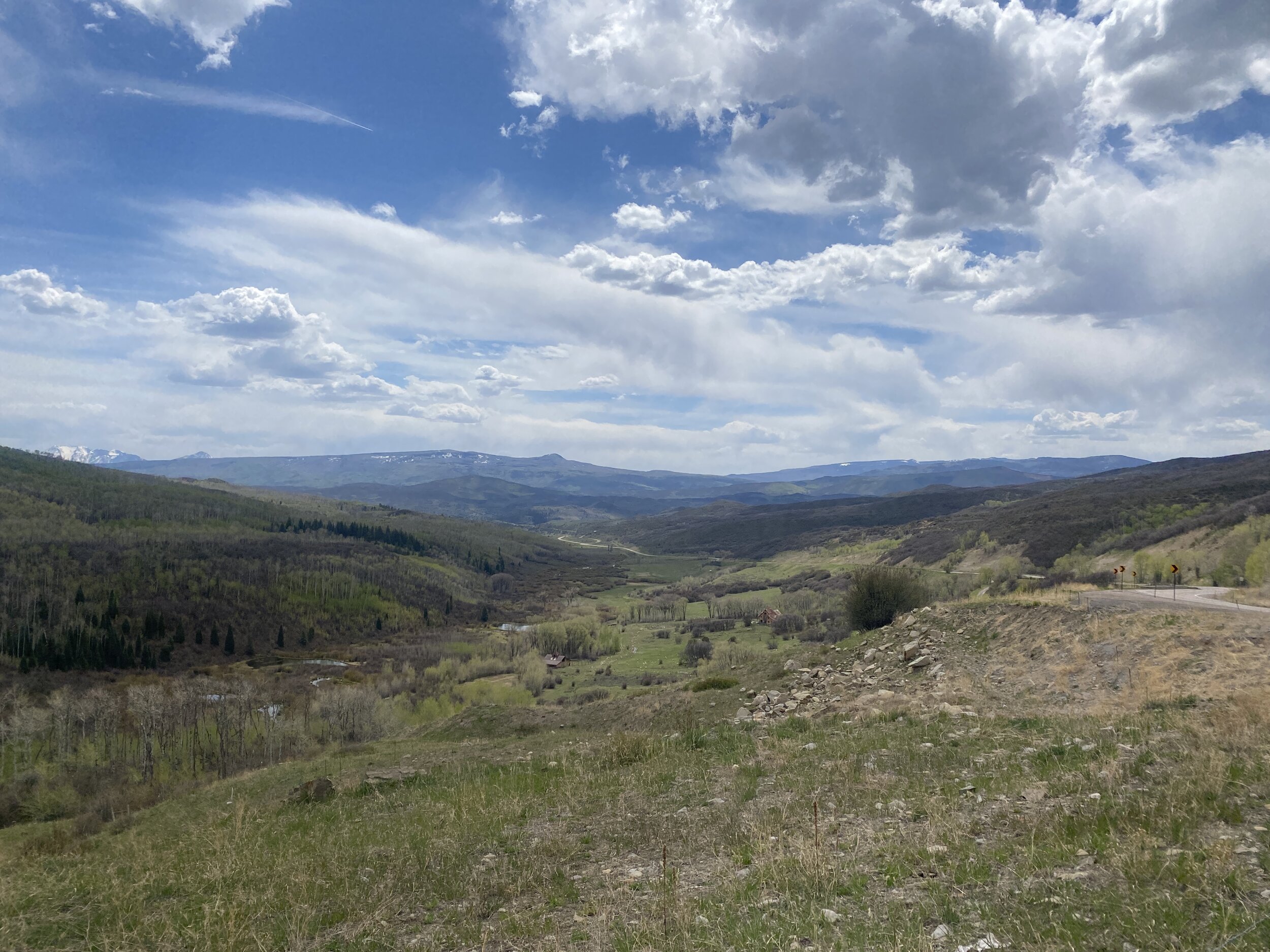
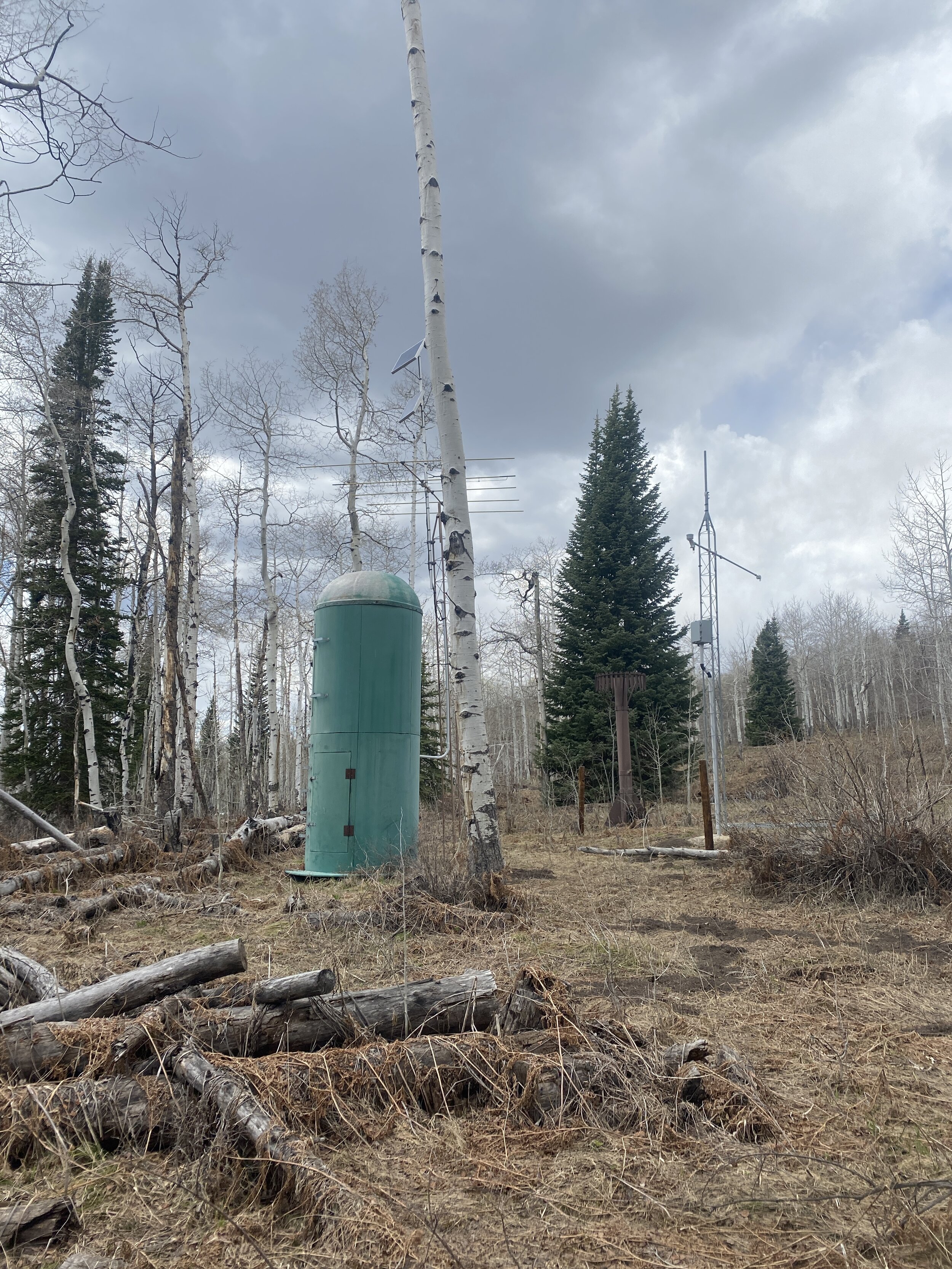
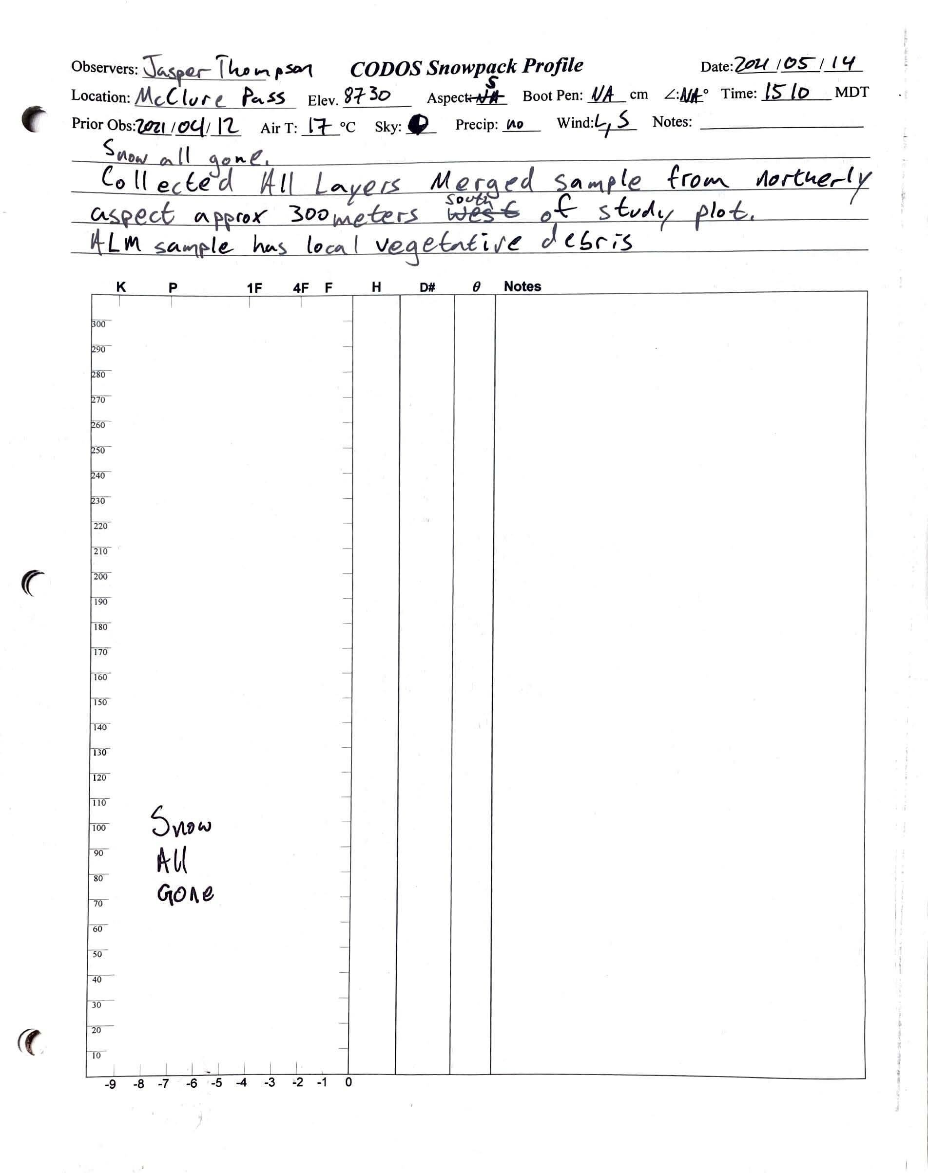
McClure Pass - MAY 14

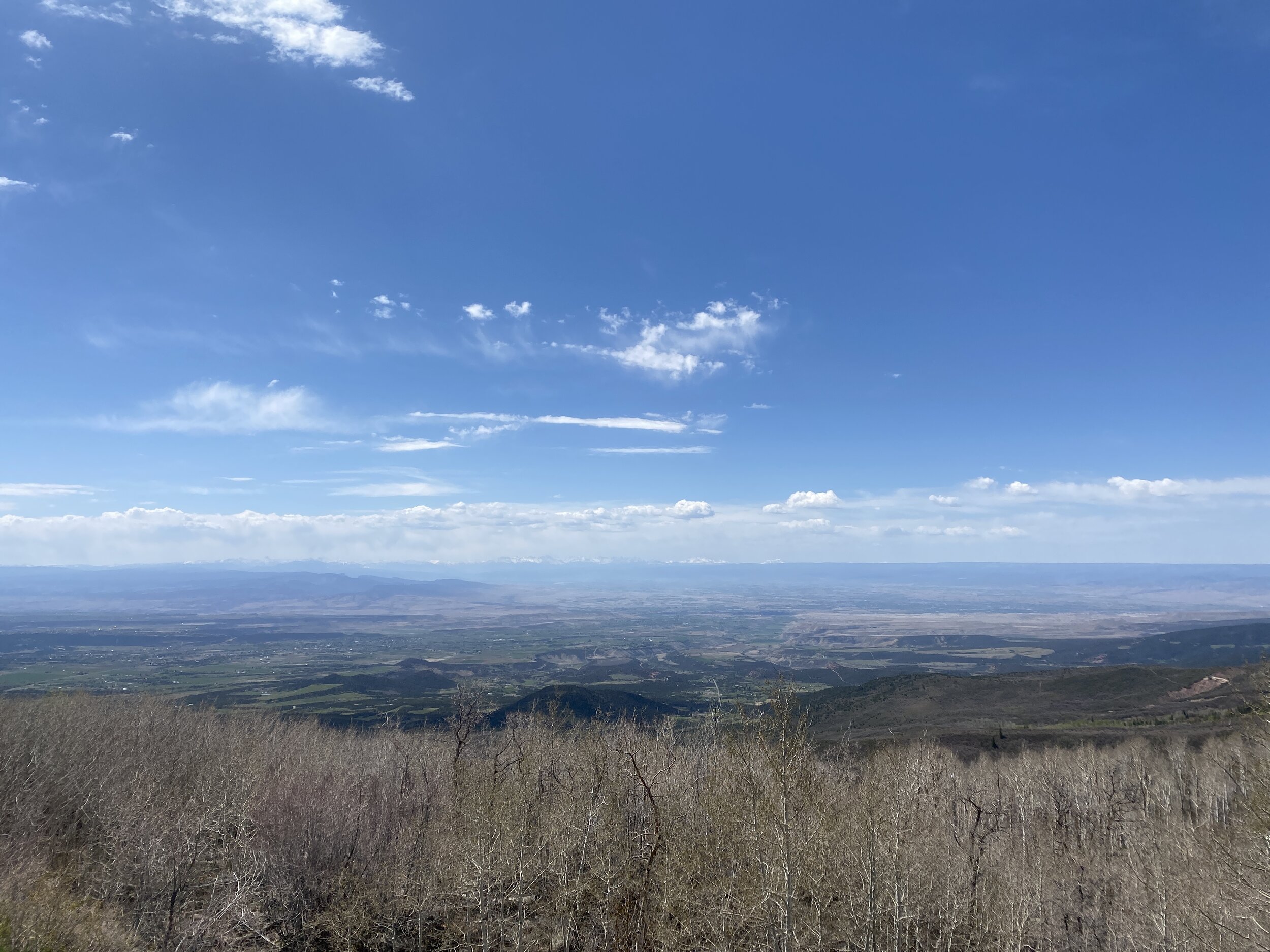
Grand Mesa - MaY 14