CODOS Update March 18, 2022: CODOS TOUR-The Good, the Bad, and the Ugly
Greetings from Silverton,
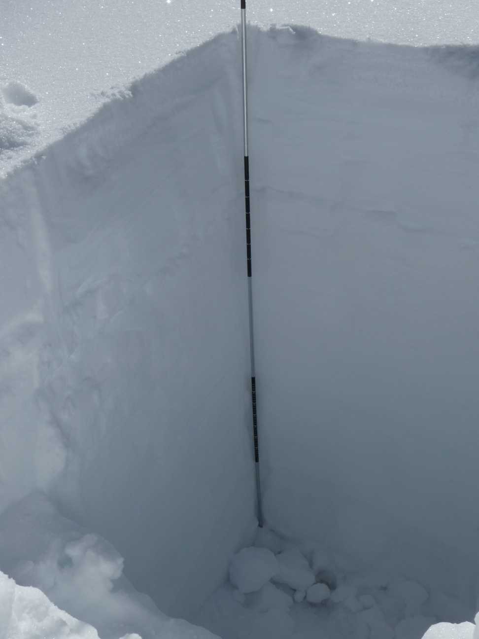
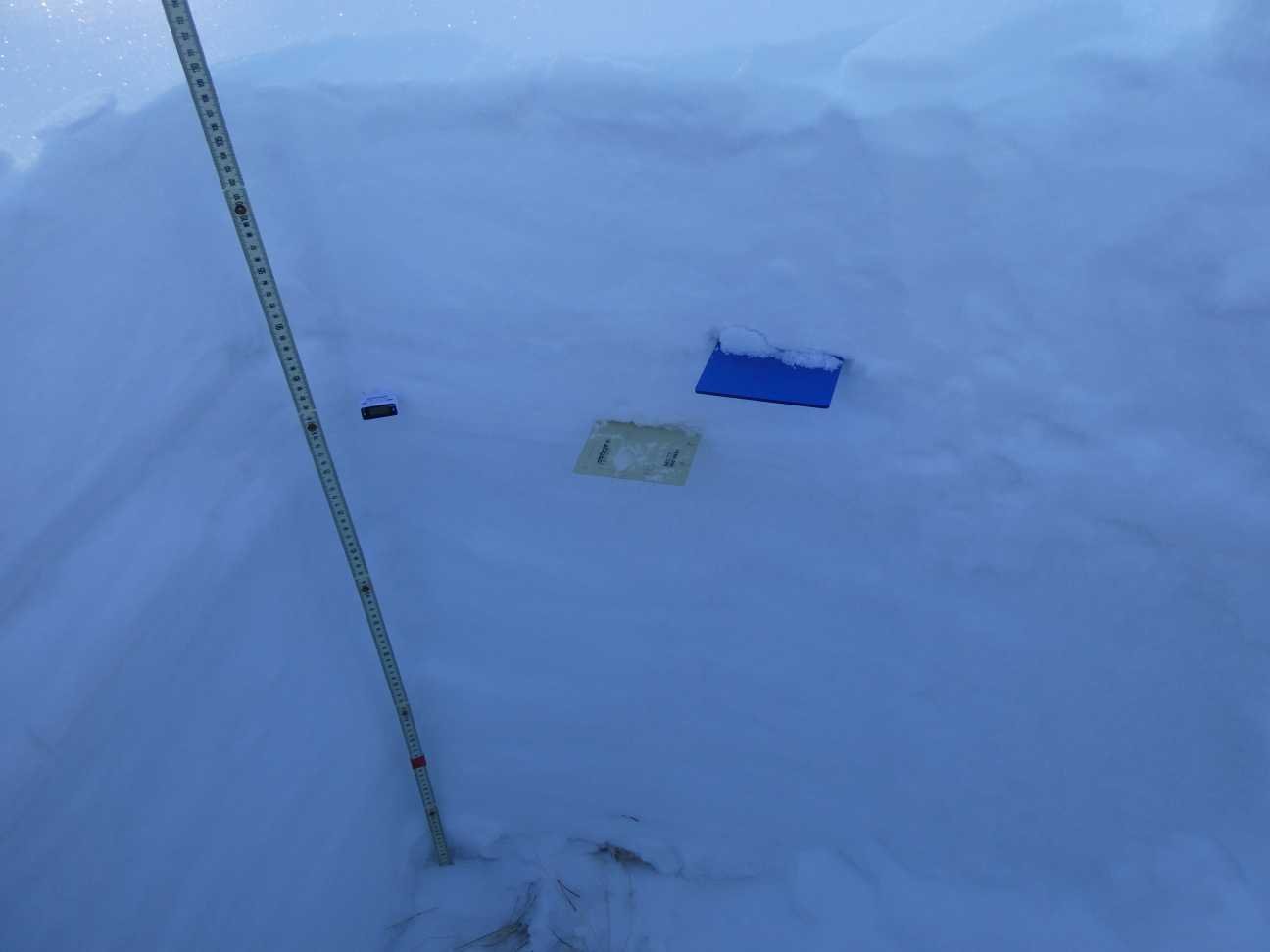
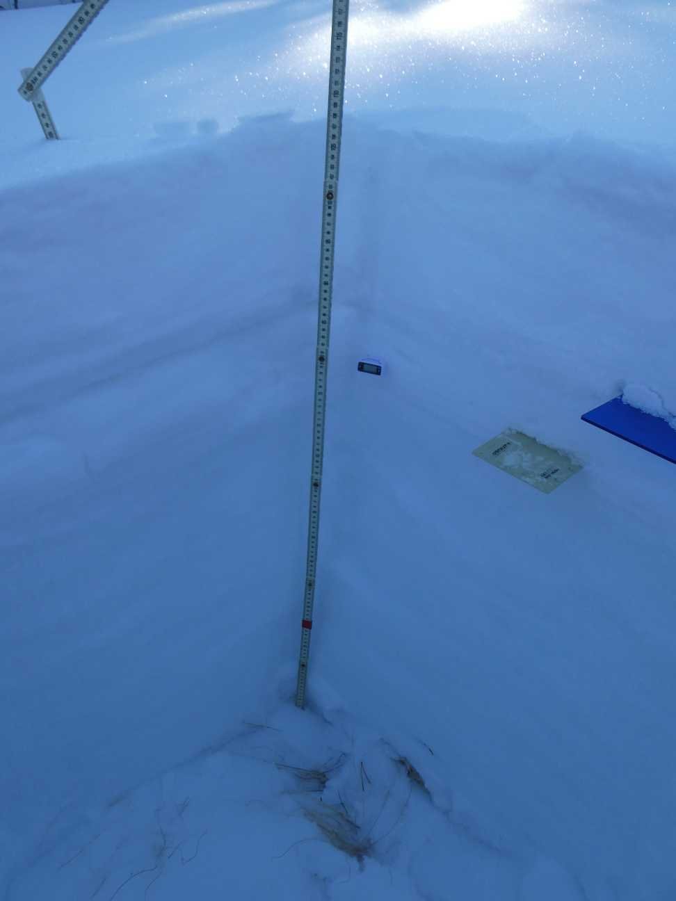
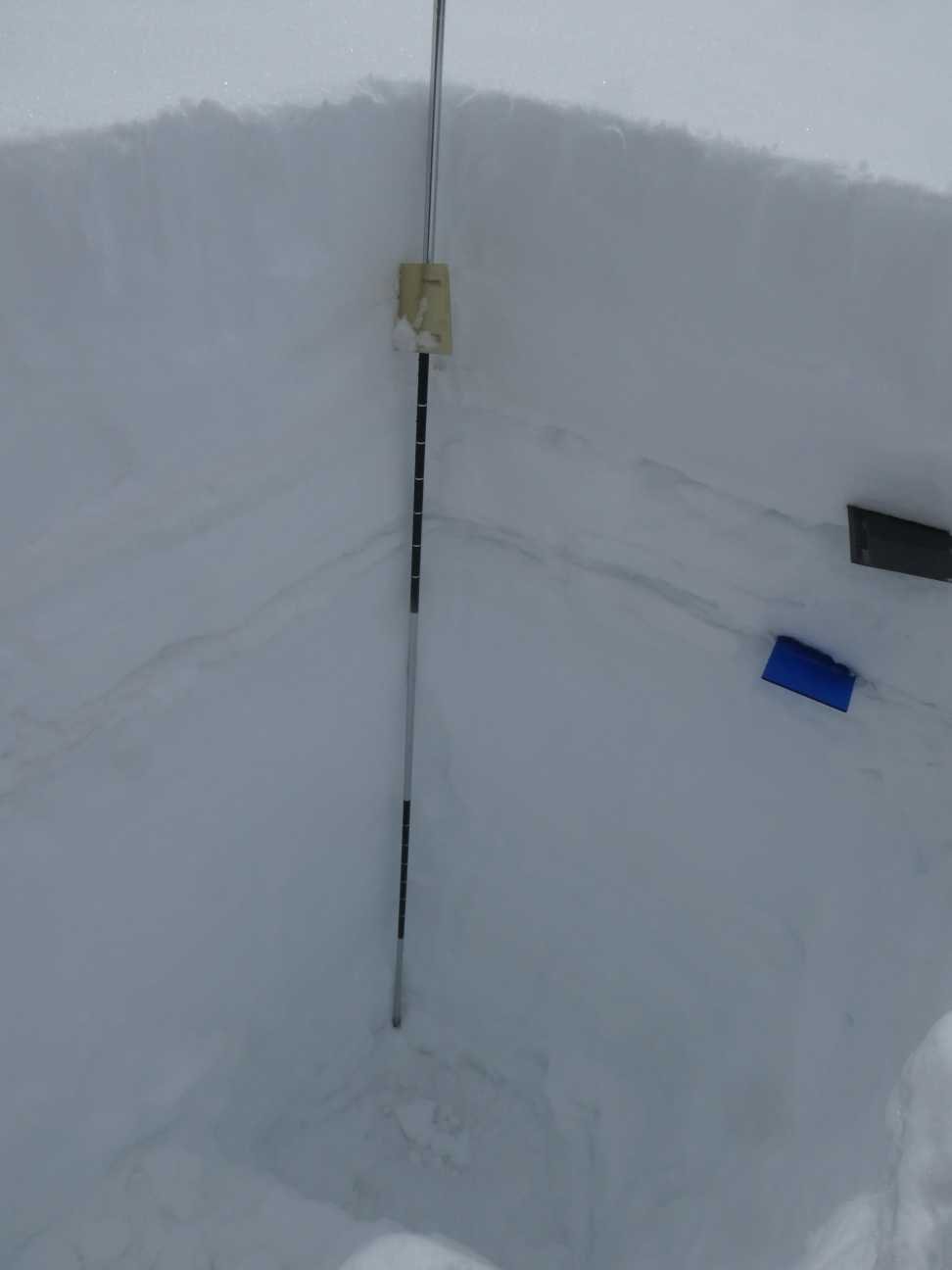
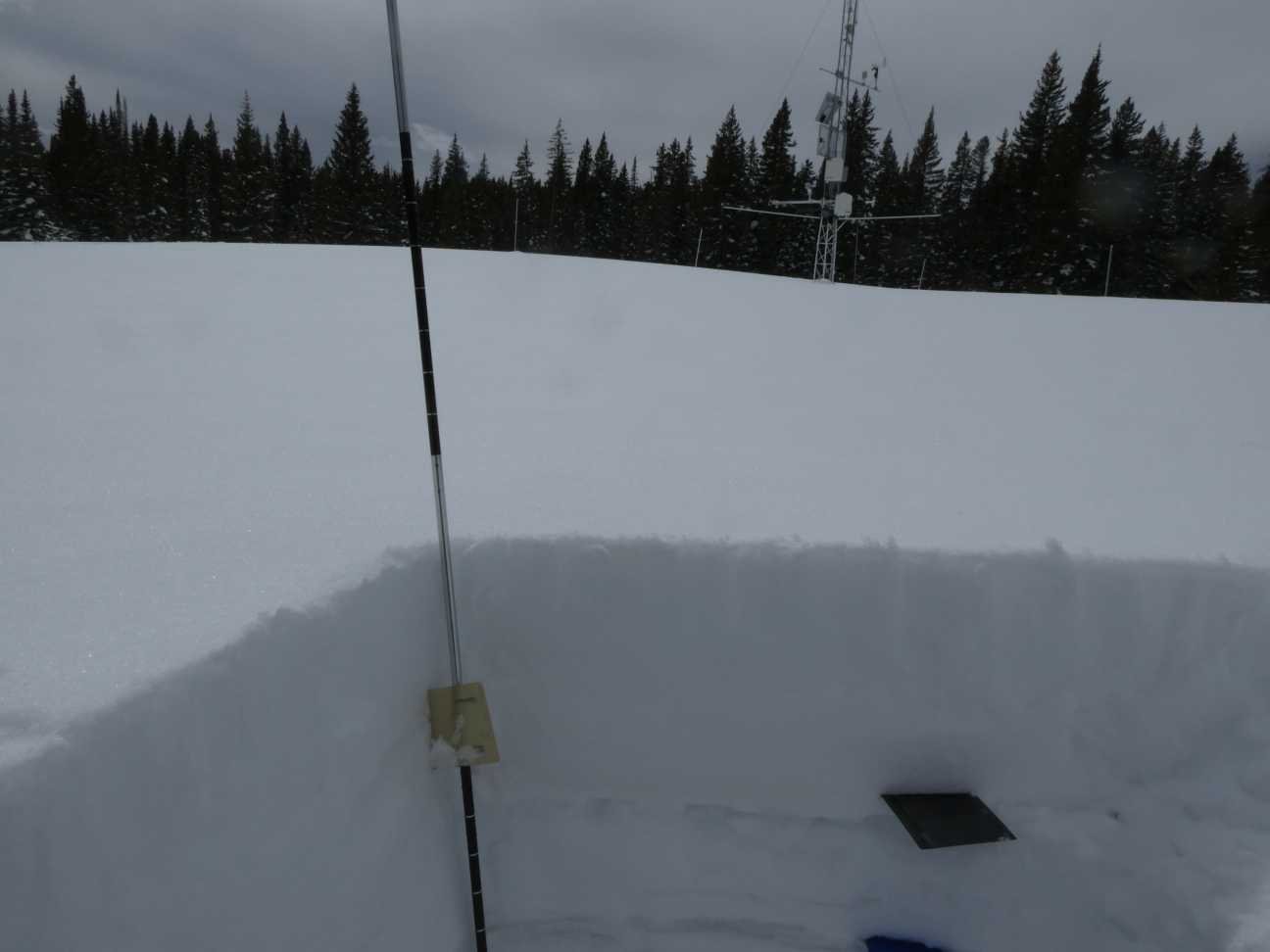
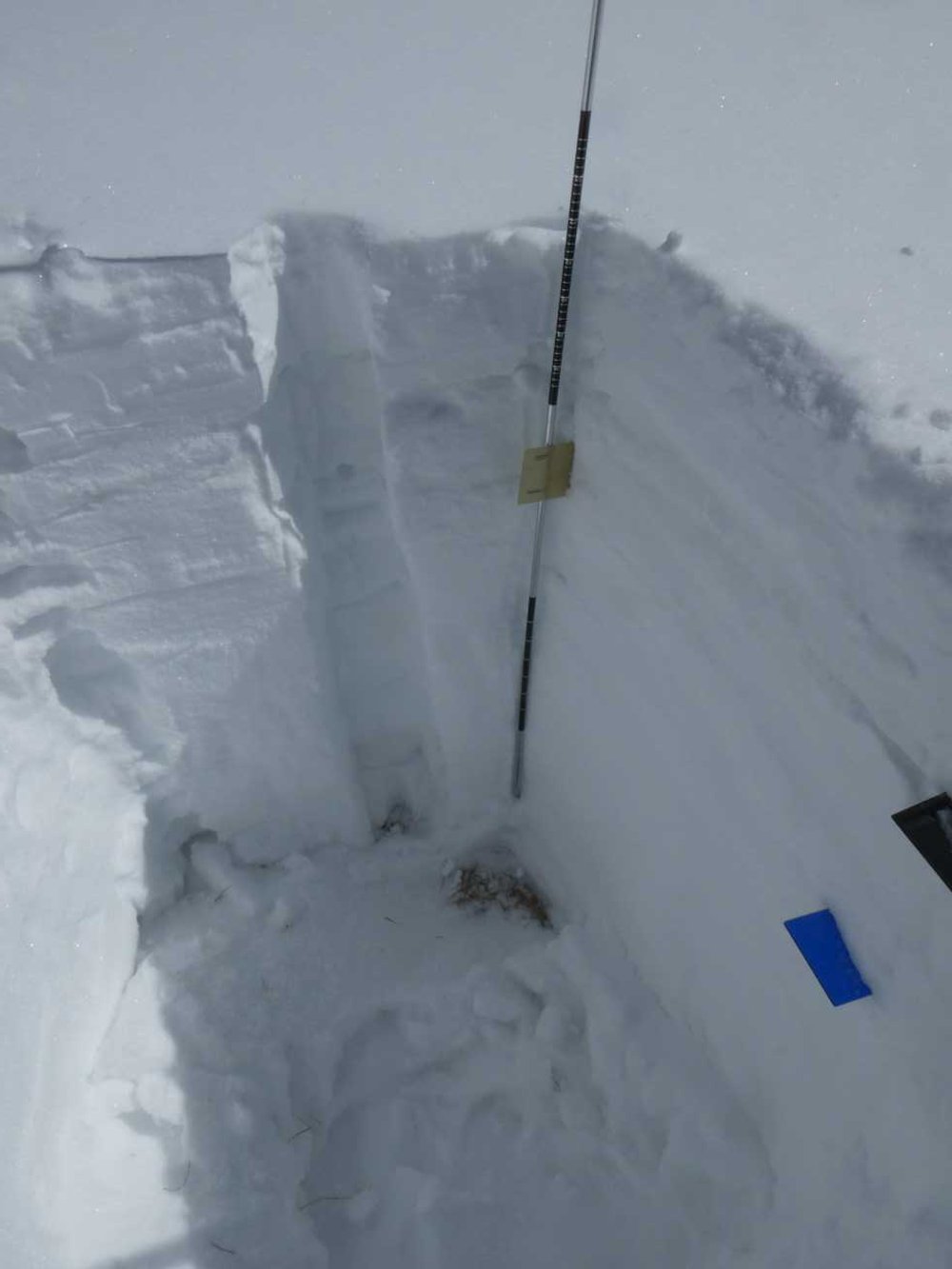
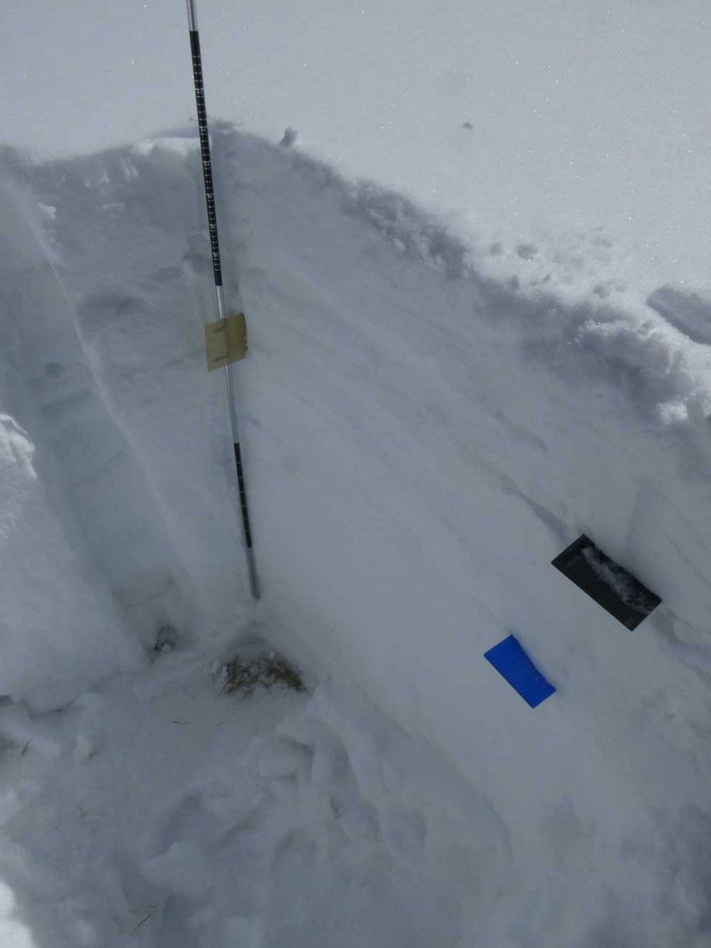
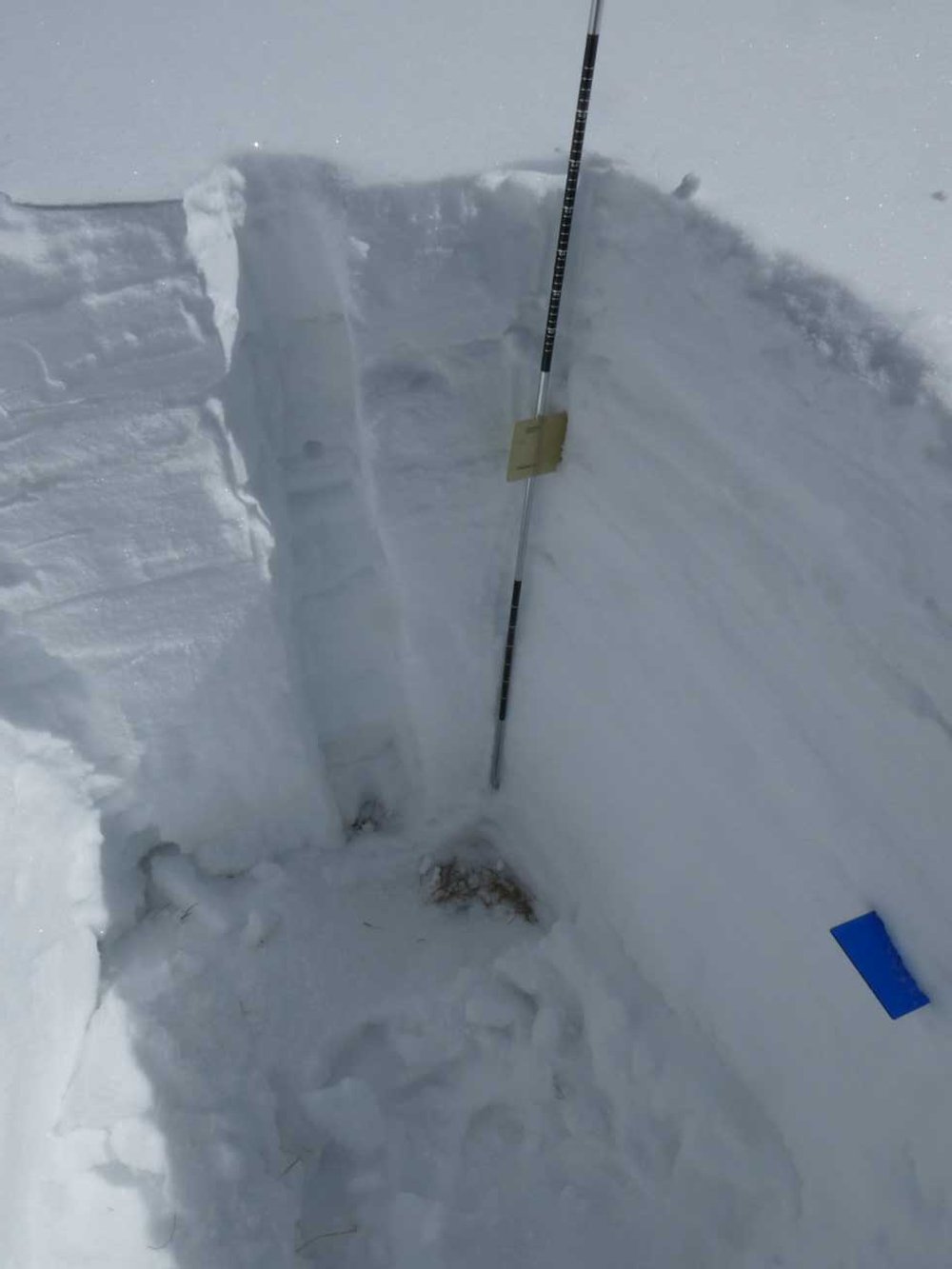
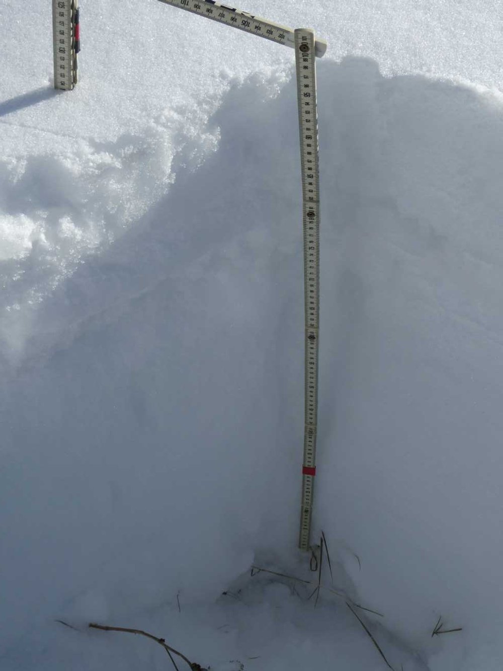
A theme quickly emerged this week while digging snow profiles on the CODOS statewide tour. There are two buried old surface crusts throughout the state’s snowpack and above and below these crusts is snow of very poor structure (see CAIC). When stepping off your skis to dig a profile you sink into the snow at least to your waist. Upon these two crusts lie the dust, if it was deposited, from the last two dust-on-snow events (D2 and D3). These dust events that ushered in productive storms were promptly buried by the ensuing snowfall on February 21 (D2) and March 4 (D3).
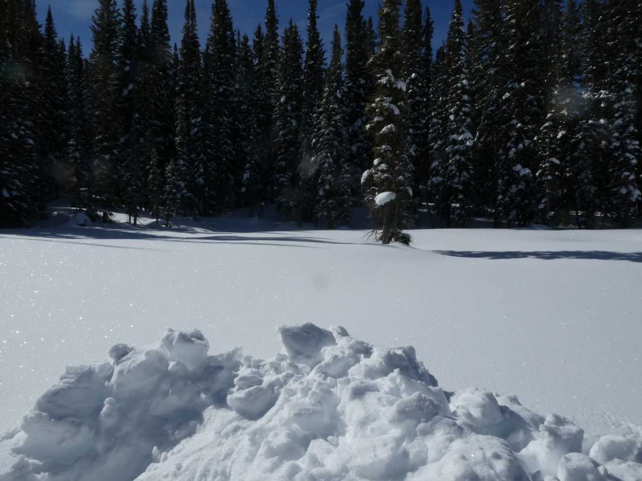
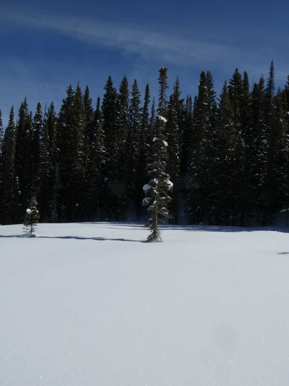
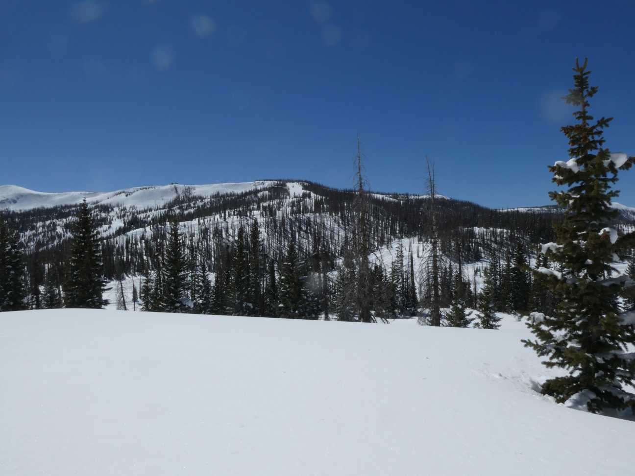
The Good: The dust laden storms that struck the snowpack so far this year have originated out of the Southwest and didn’t have the energy (dust load, storm track, etc) to carry the dust to Northern Colorado. We did not observe dust in the snow at locations approximately north of the latitude of Hoosier Pass. At Hoosier there is very noticeable light dust and at Loveland Pass that layer is not noticeable. The delineating latitude is approximate because there are reports of a stark dust layer from event D2 in Eagle County. We noted a distinct dust layer at McClure Pass and it is likely dust was carried directly north a bit farther before dropping out. We did not observe dust at Rabbit Ears, Loveland Pass, Berthoud Pass, or Willow Creek Pass. So far this season northern basins have a clean snowpack and near normal SWE and currently fall into the “good” category.
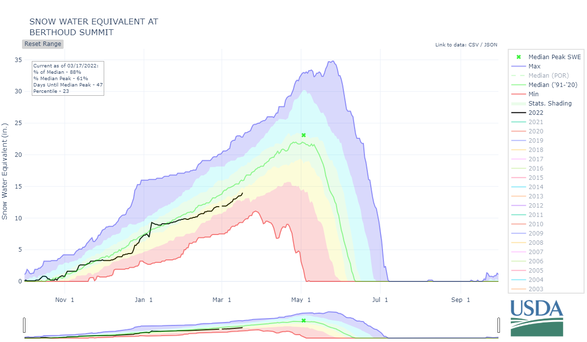
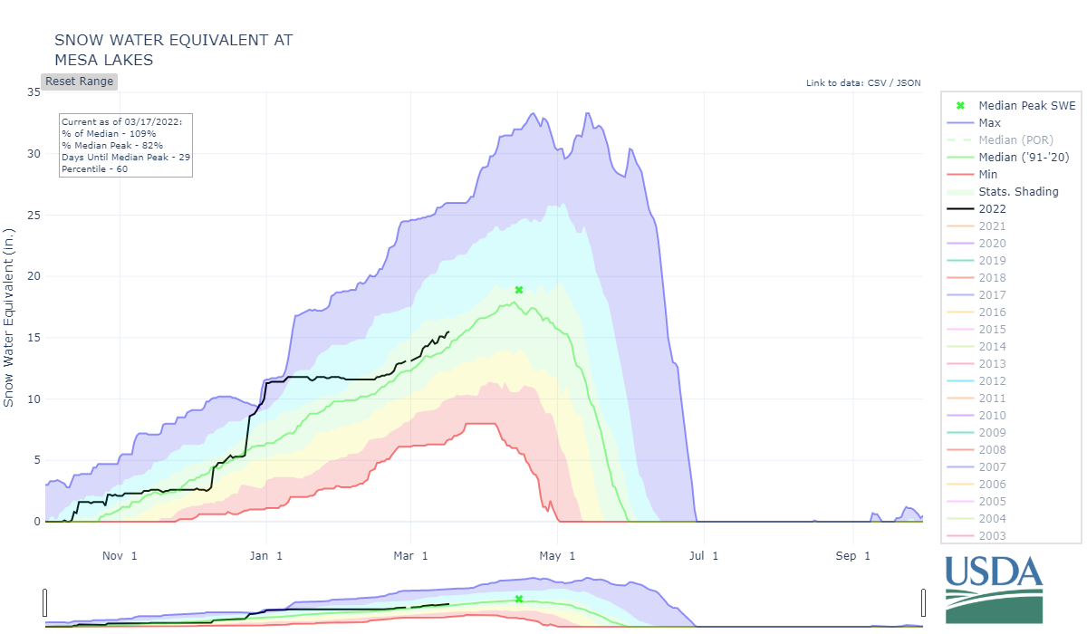
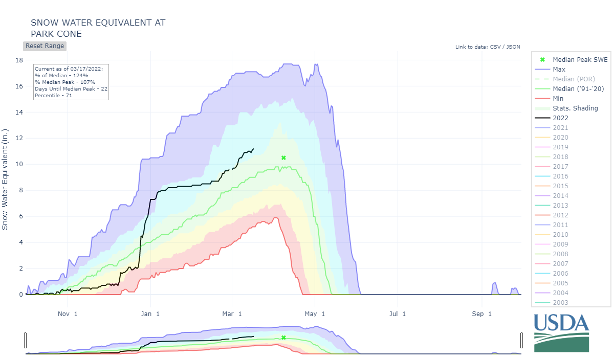
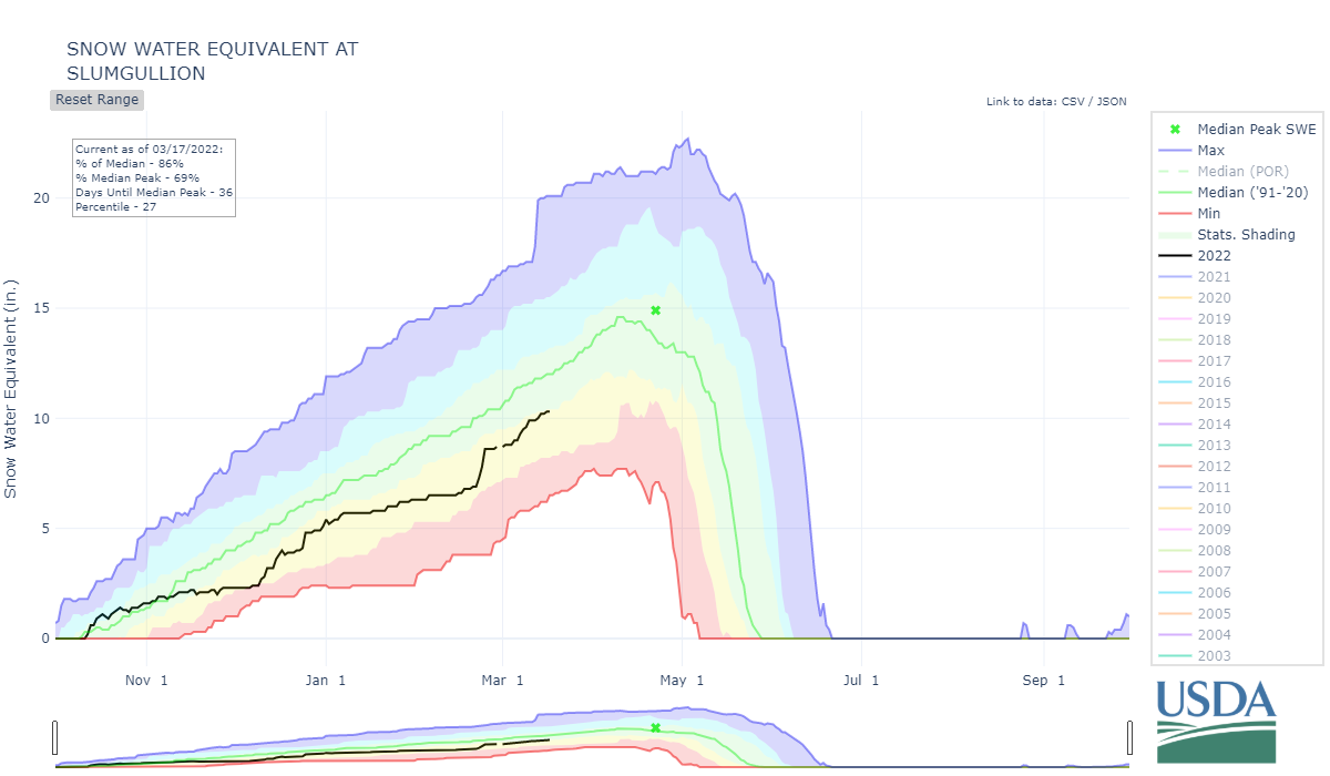
The Bad: I don’t want to be judgy, how about “misguided”. The Gunnison Basin and northmost San Juan Mountains received a good dose from D2/D3 before the events dissipated traveling northward. The severity is not light by any means, but as of now appears to fall squarely in the moderate category. At Park Cone, McClure, and Spring Creek, which are typically a more shallow snowpack, D2/3 are not very far under the surface, about 2” SWE covers both layers (see table below). Elsewhere with deeper snowpack it is a good bit farther down due to greater snow accumulation. In terms of SWE at the CODOS sample sites, which are located in slightly different locations than the nearby SNOTELS, the above sites seem to have more snow for this time of year than in recent past, although looking at the SNOTEL data it is a mixed bag (see SNOTEL plots at bottom of page).
Senator Beck Study Basin (SBB), which includes Swamp Angel, is on the cusp but for now will fall into this general category of moderate conditions (although that can easily change with just one more DOS event). SBB is located at the headwaters of the Uncompahgre, San Miguel, Dolores, and Animas watersheds. Dust conditions worsen the farther down these watersheds you travel.
The Ugly: Beauty is in the eye of the beholder, but if a dust free snowpack is considered ideal then areas of Colorado that are struggling are the Rio Grande, San Miguel, Dolores, and Animas. It is pretty remarkable the difference in dust severity going from Molas Pass over to Red Mt Pass. At Molas, all three dust layers are pretty bad and really jump out at you. At Senator Beck Study Basin (Red Mt Pass), D1 is extremely faint and D2/3 appears in middle/upper class of moderate severity. Before April the CODOS team intends to dig profiles further down the southern watersheds to assess in further detail this dust severity gradient. For the Rio Grande Basin, read the summary below, it is in a class of it’s very own.
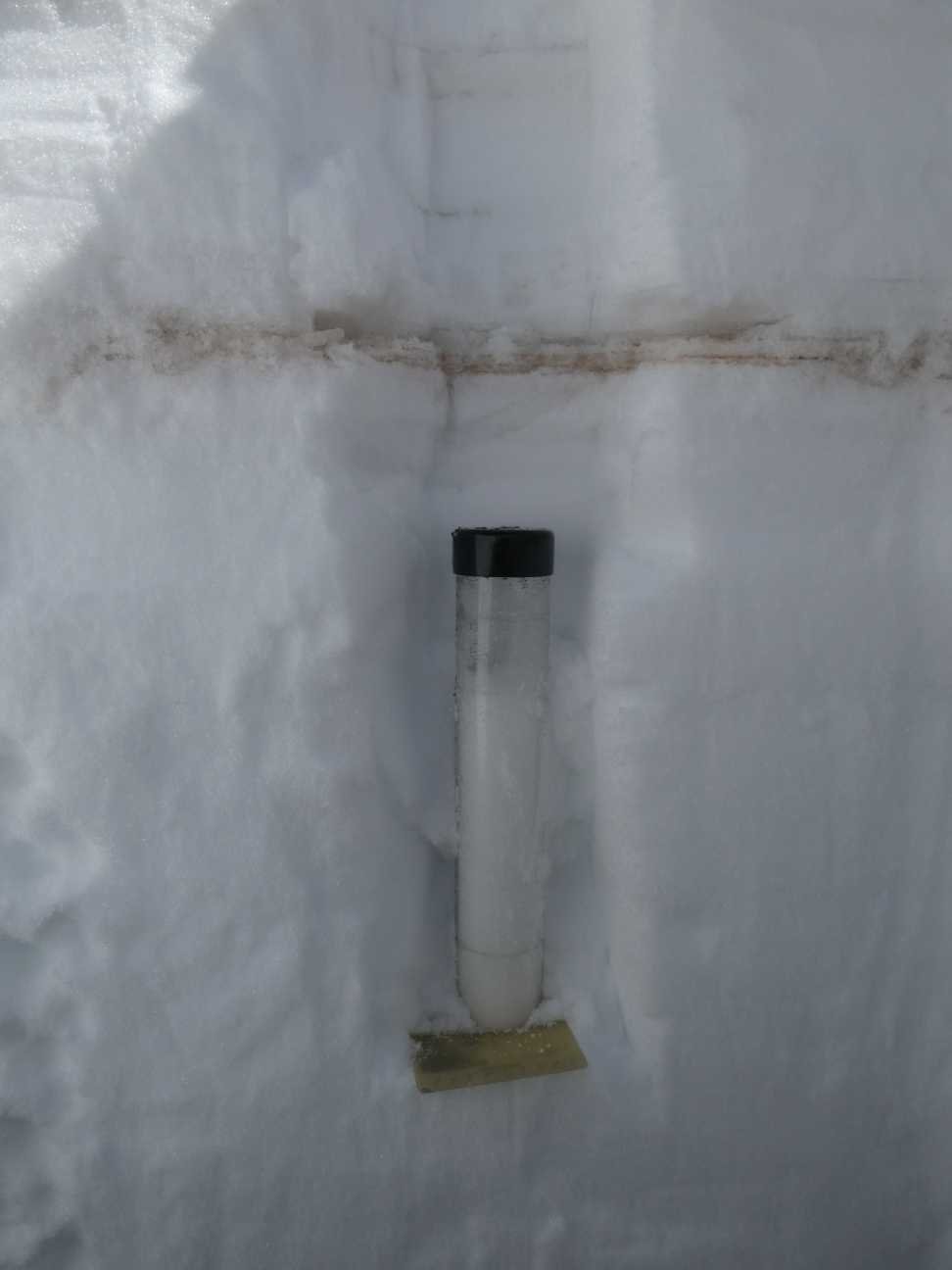
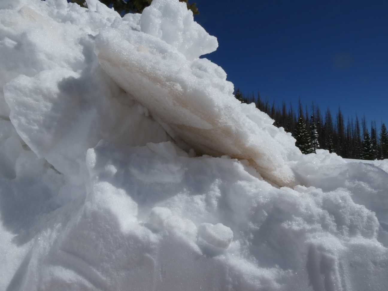
Since joining Center for Snow & Avalanche Studies I have yet to place a region in the category of “maximum dust conditions” of the three general categories of “minimum”, “average”, and “maximum”. I have come close with some areas categorized as “upper end of average”, but we have yet to see the dust severity (either as one severe event or cumulative events) that we saw during the “maximum” years of the past. It appears this season the basins mentioned in this category will fall under “max’ dust. In the Dolores, for example, it stems from three equally bad dust layers (see pics below). In the Rio Grande it is warranted based on the severity of D2 in that region (again please see pics).
We have at least a couple weeks left of the accumulation season and hopefully it will include more snow sans dust. March/April/May is when we receive the most dust-on-snow events. Any more dust deposition will exacerbate current conditions particularly in Central/Southern Colorado. How the existing dust will affect snowmelt timing and rates will depend on spring weather. If we have a wet spring with regular storm events that keep adding to the snowpack and keep dust layers temporarily buried, the dust will be less of a factor as these “albedo resets” will slow snowmelt. This scenario is unlikely as the forecast for the next few months is dry and warm. And, the worst of the dust is located in the uppermost portion of the snowpack, 2”-6” SWE currently cover the dust in the central/southern mountains. Once exposed it will greatly darken the snow surface unless covered by regular snowfall.
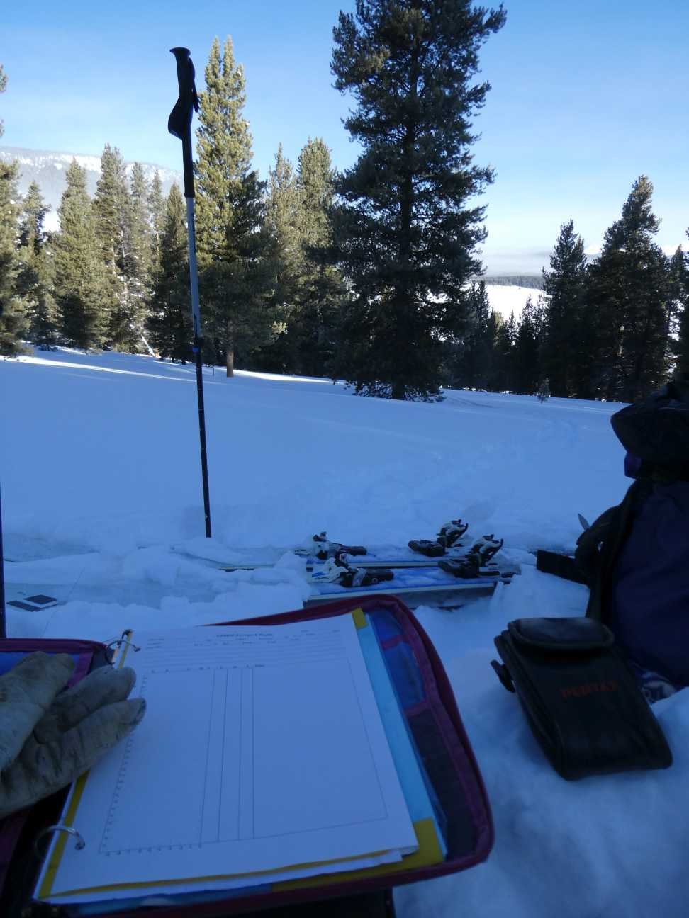
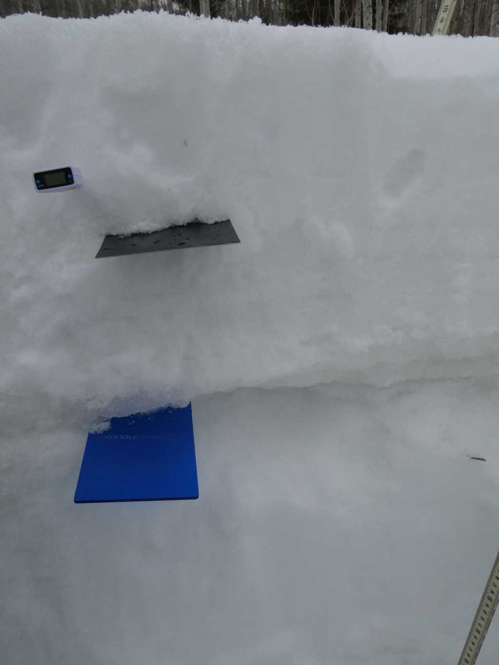
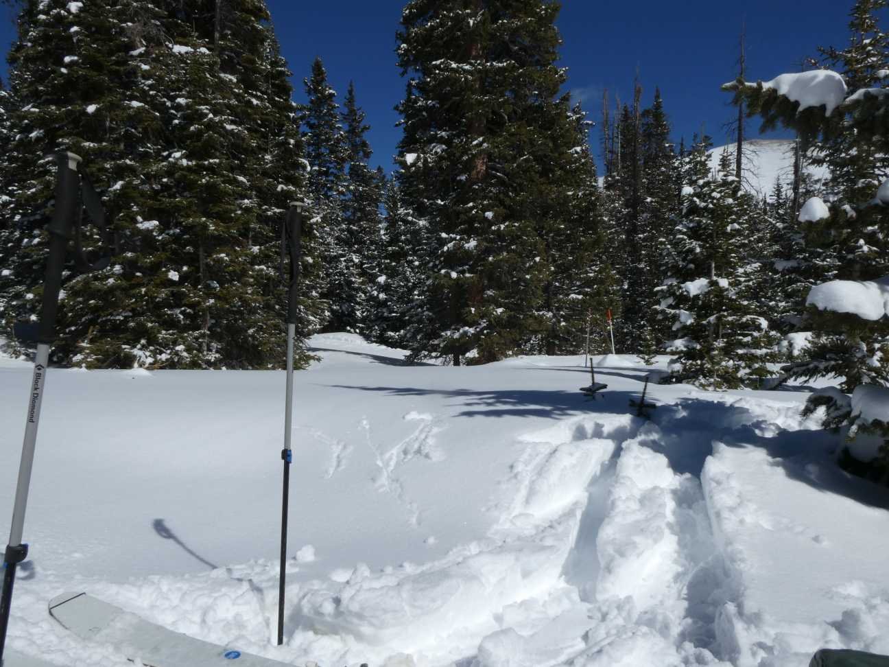
A summary for each CODOS site is below. If you want more details, please see snow profile forms here. And feel free to email or call the CSAS office with questions.
Off topic, you likely heard about the big Sahara dust storm, if not see this Washington Post article.

A storm hit Hoosier Pass the night before our visit leaving no place to park. CDOT agreed to let us park on the shoulder if we made it quick, so only a hasty pit was conducted.
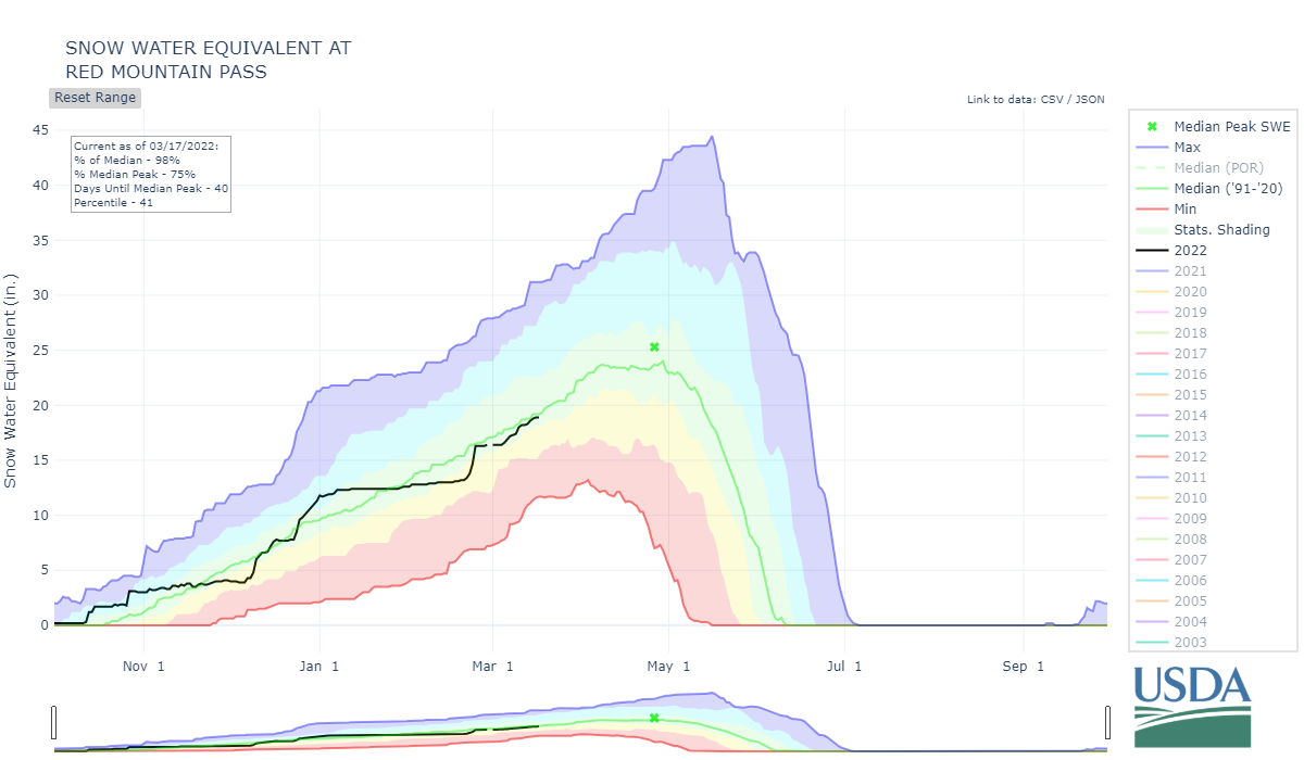
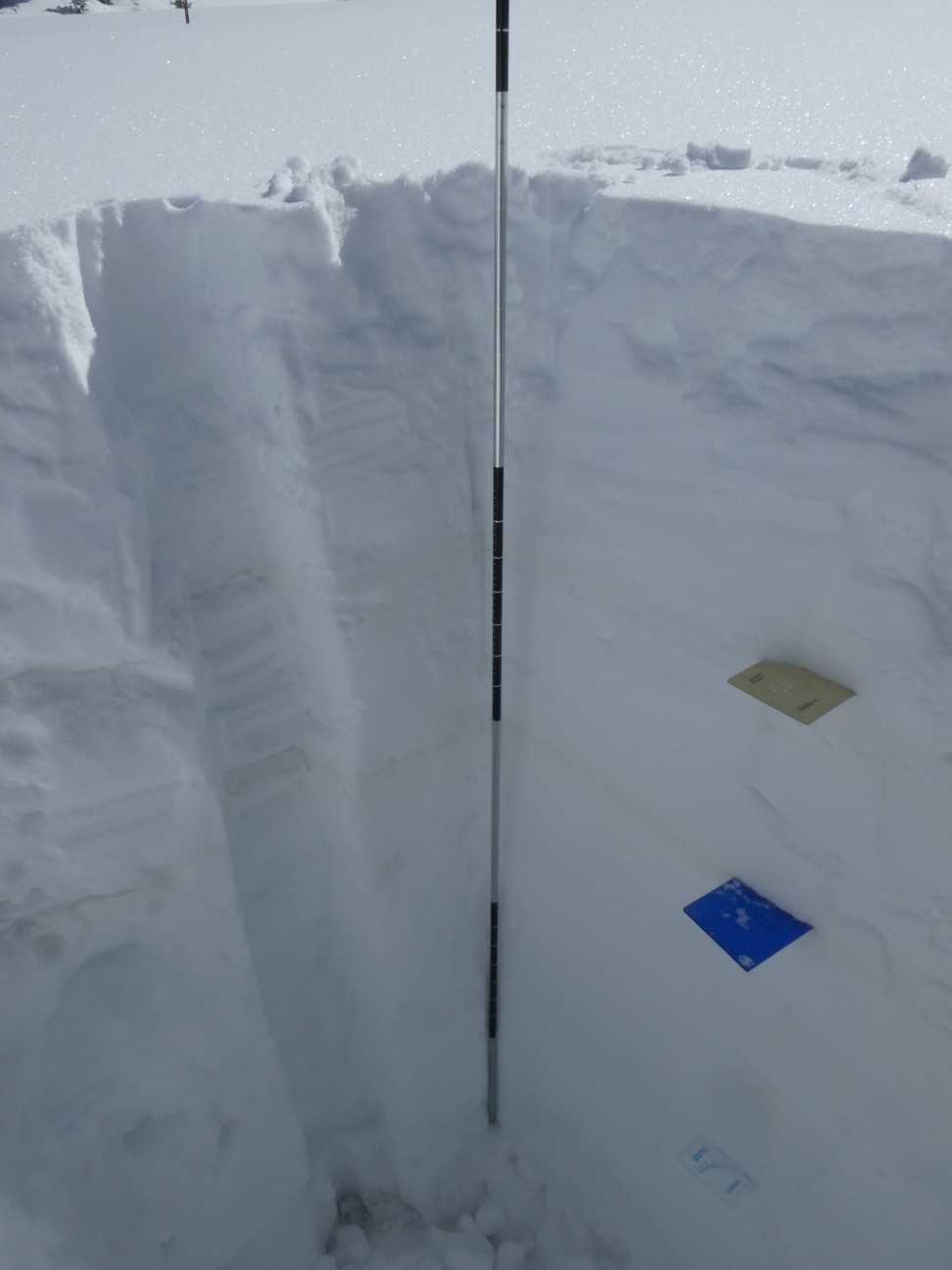
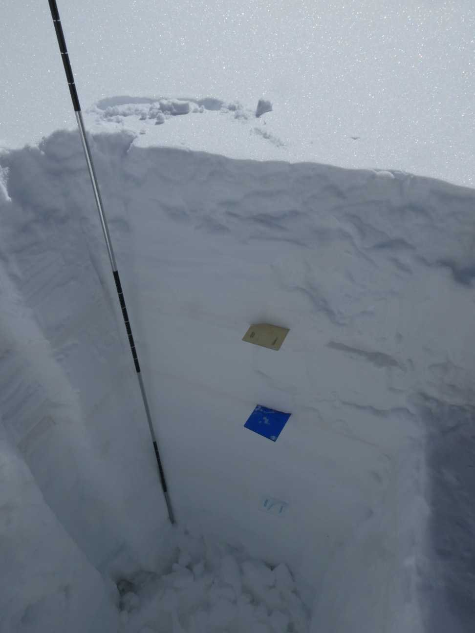
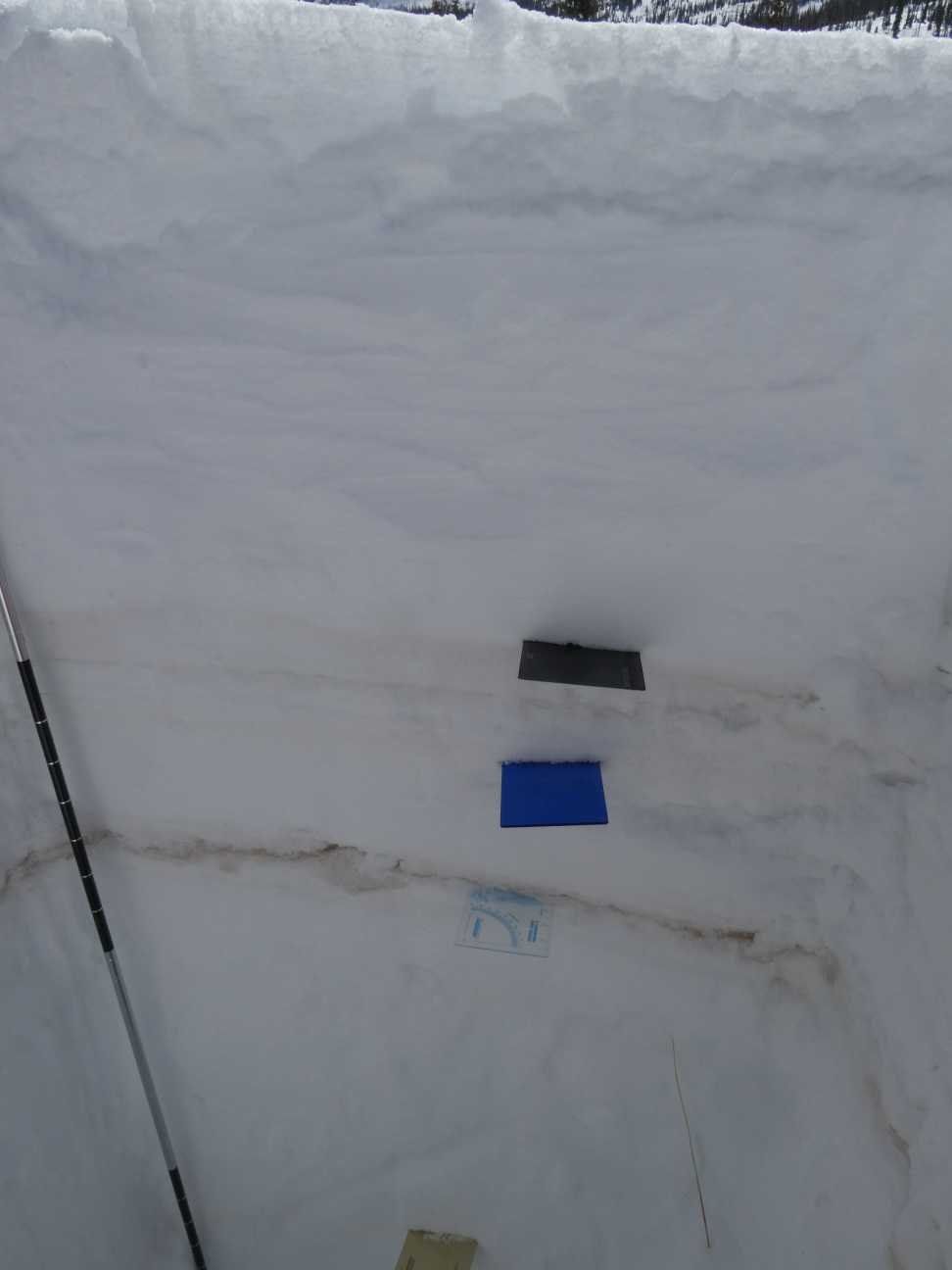
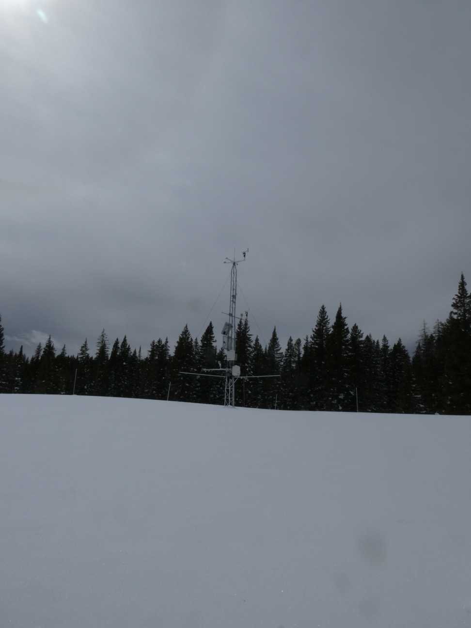
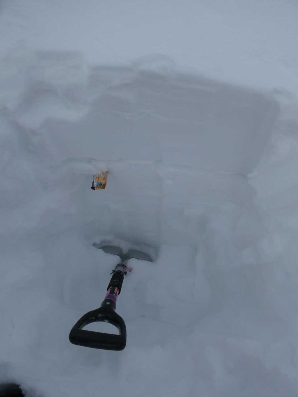
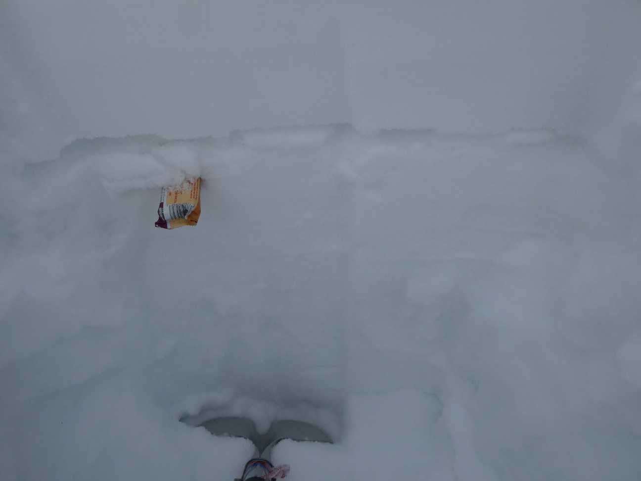
SWAMP ANGEL (Red Mt Pass): March 11
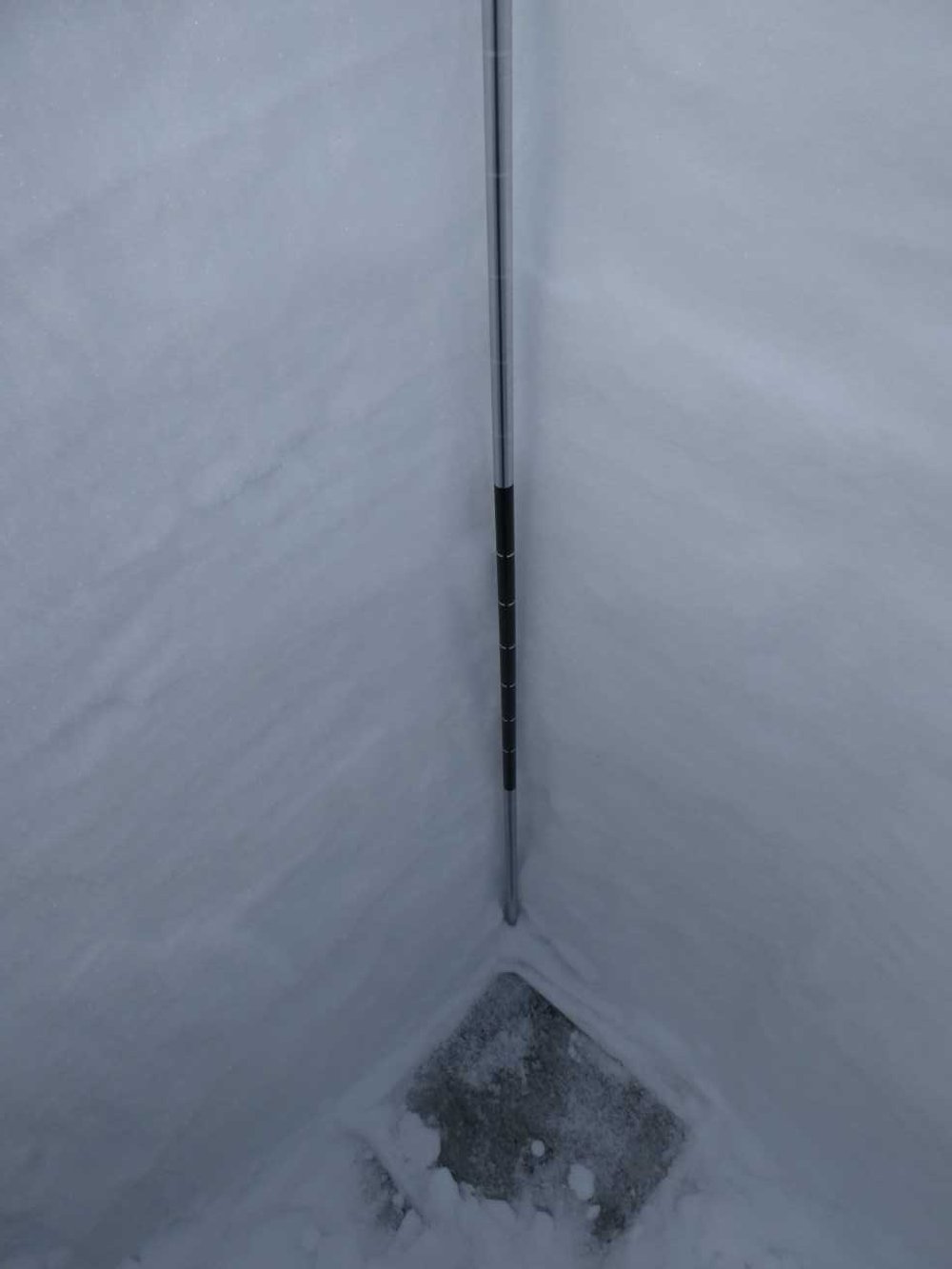
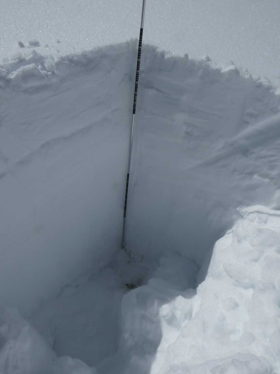
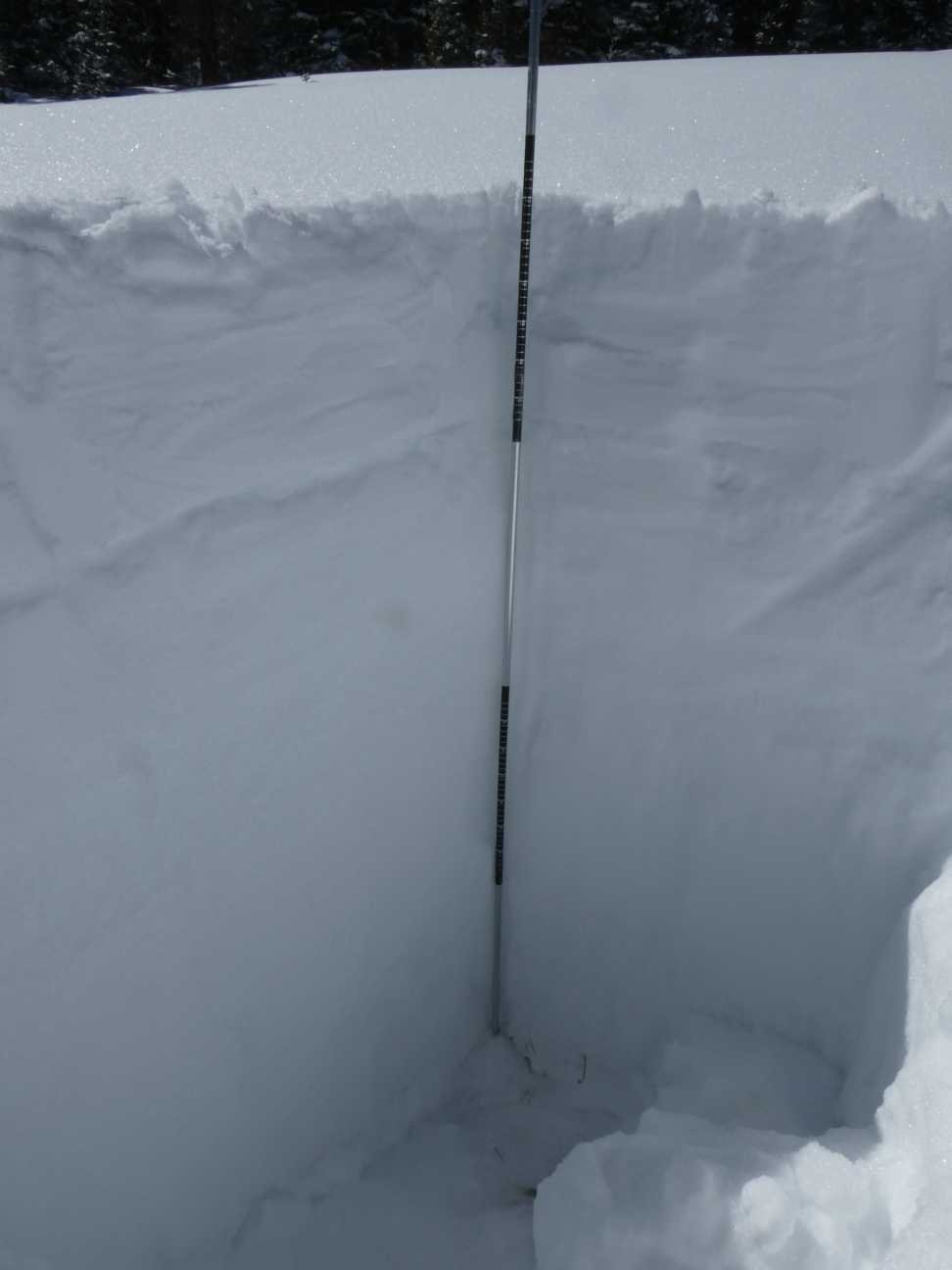
On March 11 we measured 18.7” SWE as 74.4” snow depth at Swamp Angel. Nearby Red Mt SNOTEL reports essentially the same. There was 2.2” SWE over D3 and 5.5” over D2. D1, which occurred on December 26, is farther down the snowpack and is very faint at SBB but much more severe in other areas of the southwest mountains.
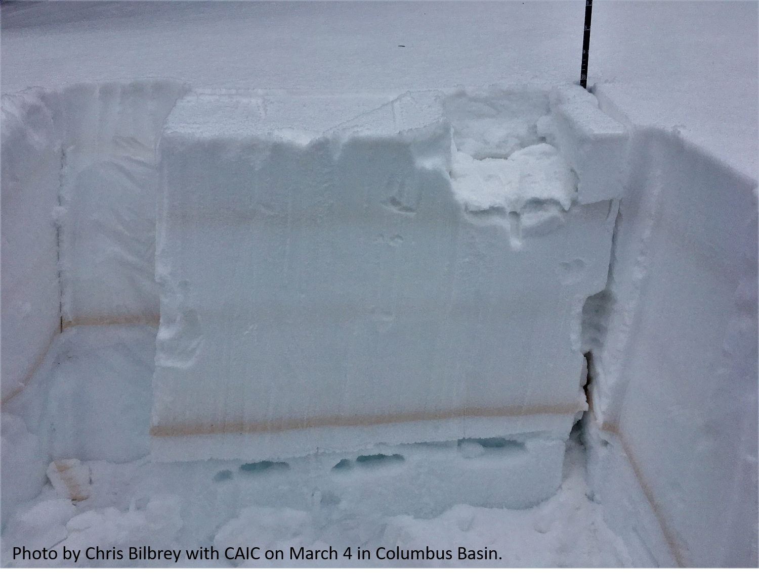
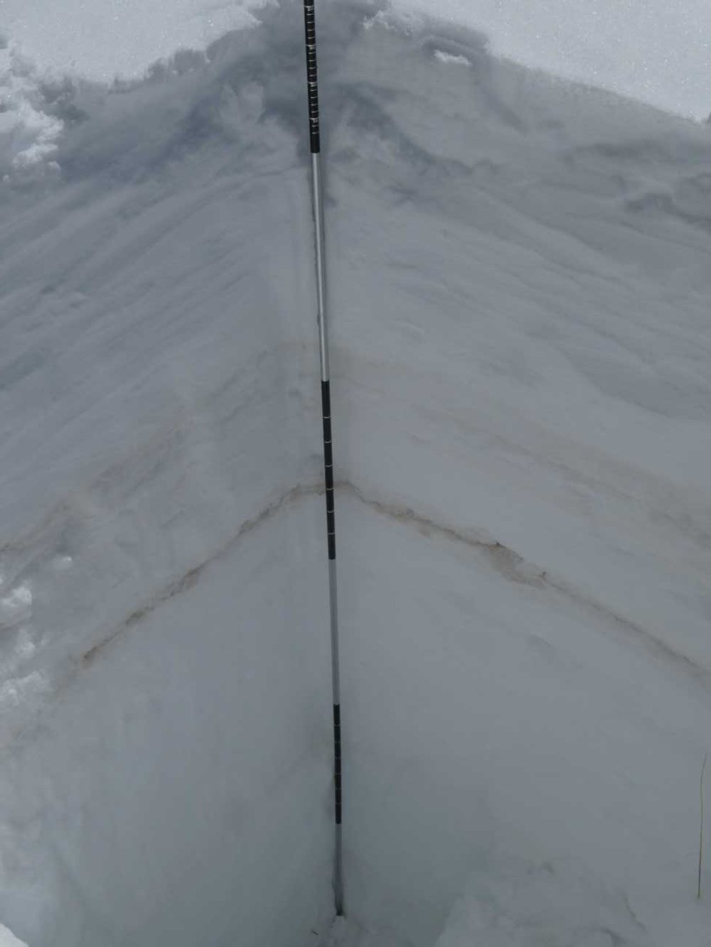
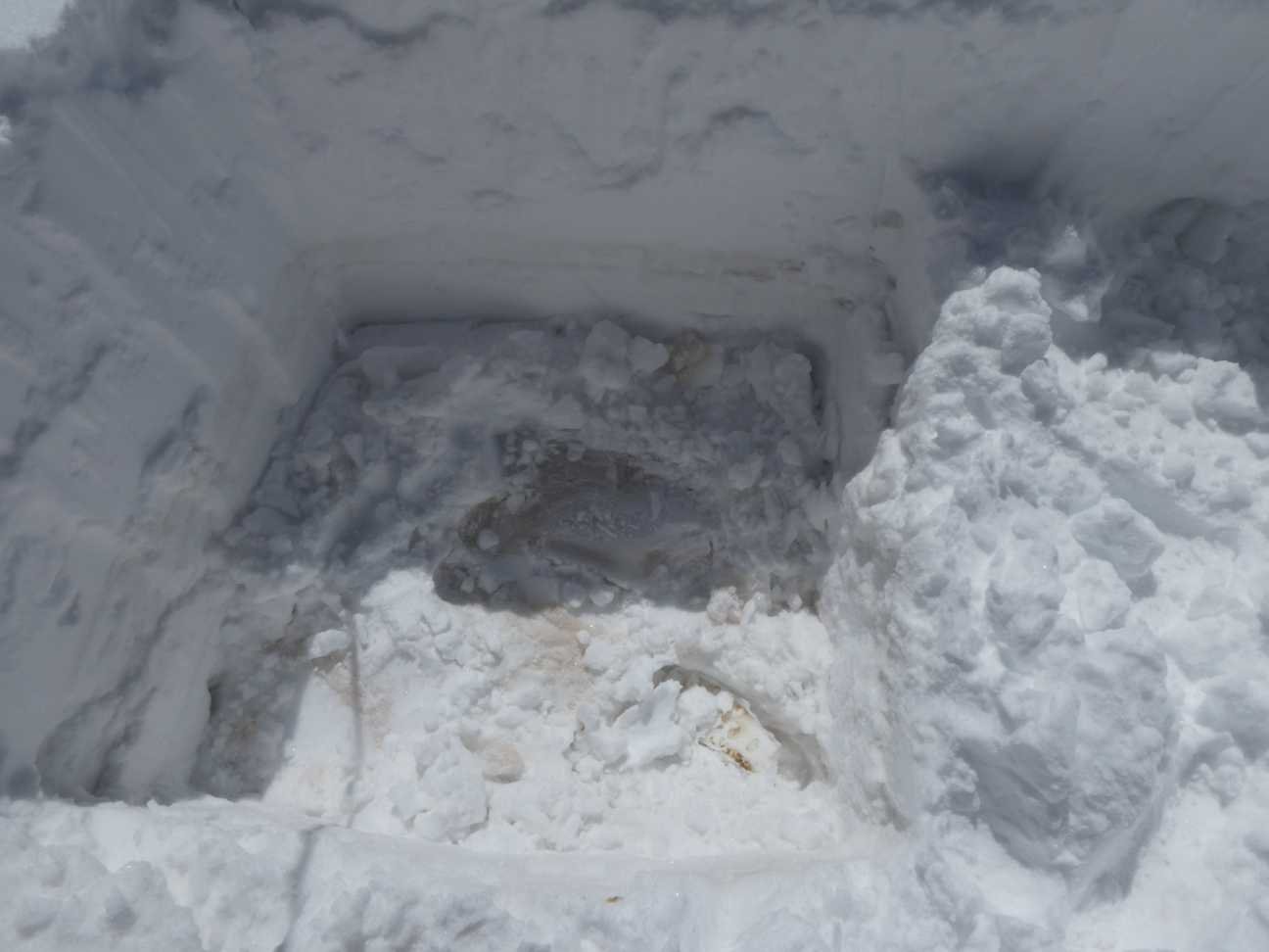
The first photo below was taken by Chris Bilbrey with CAIC on March 4 in the Columbus Basin. Three separate dust layers came out of the Feb storm cycle in this area - this is the only area where this has been observed - where we observed just the one layer elsewhere. This is much more severe than at SBB, and that is not counting D1 which is bad in La Plata, Dolores, San Miguel, etc.
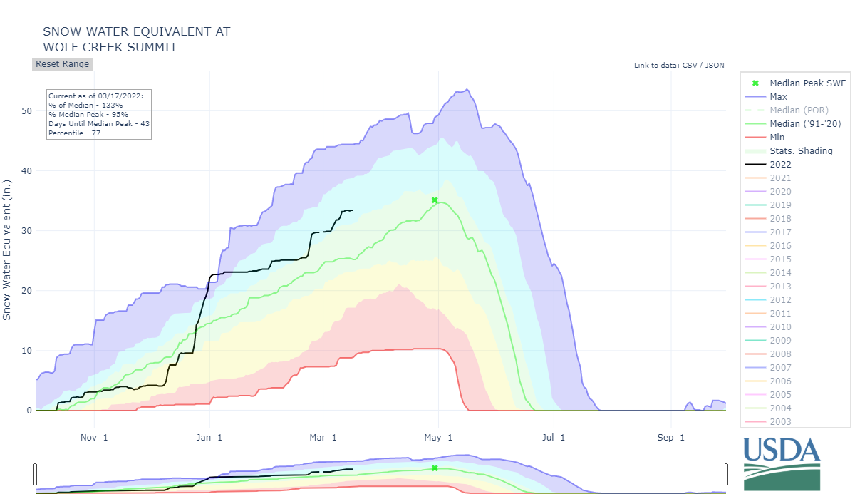
WOLF CREEK PASS: March 12
Wolf Creek has four dust layers. Three are a stark brown heavy/moderate layer and one is a dark severe layer. The topmost layer is currently under 3.3” of SWE and the severe layer (D2) is under 6.6” SWE. The bottom layer (D1) is 2’ above ground. Once the three top dust layers merge at the surface conditions will likely be considered high severity. In and around the Rio Grande valley snow cover is pretty extensive from the last few recent storms. No dust on surface yet.
SPRING CREEK PASS: March 12
Spring Creek has 29” snow depth with 4.8” of SWE. The dust layers are combined at 7.5” below surface. There is good snow cover in this region as well.
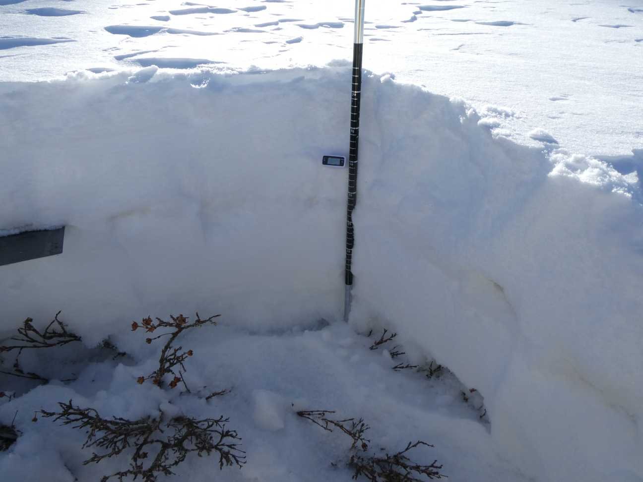
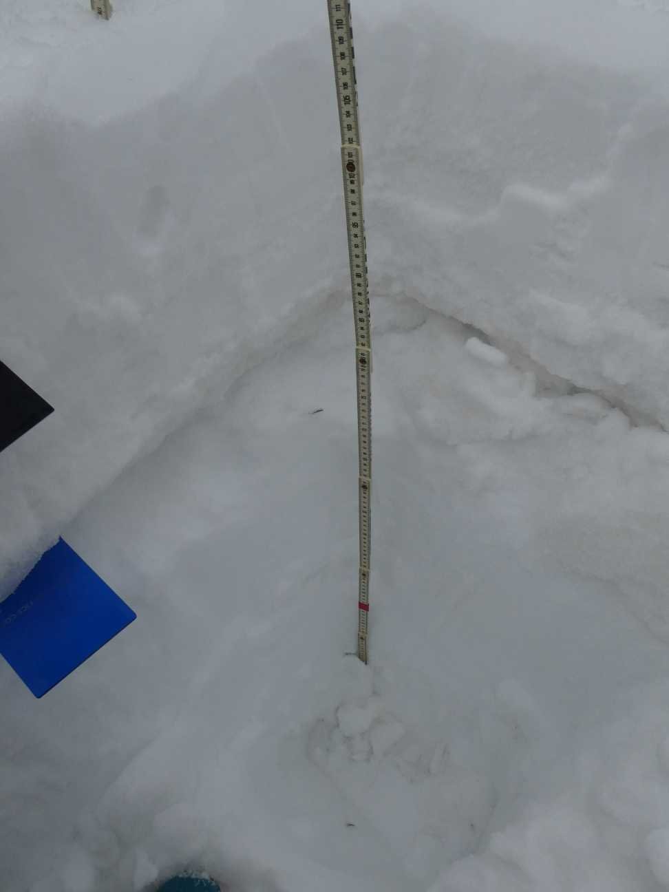
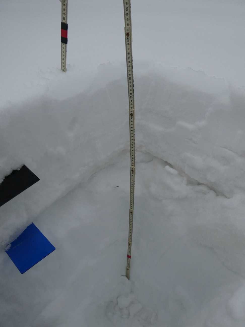
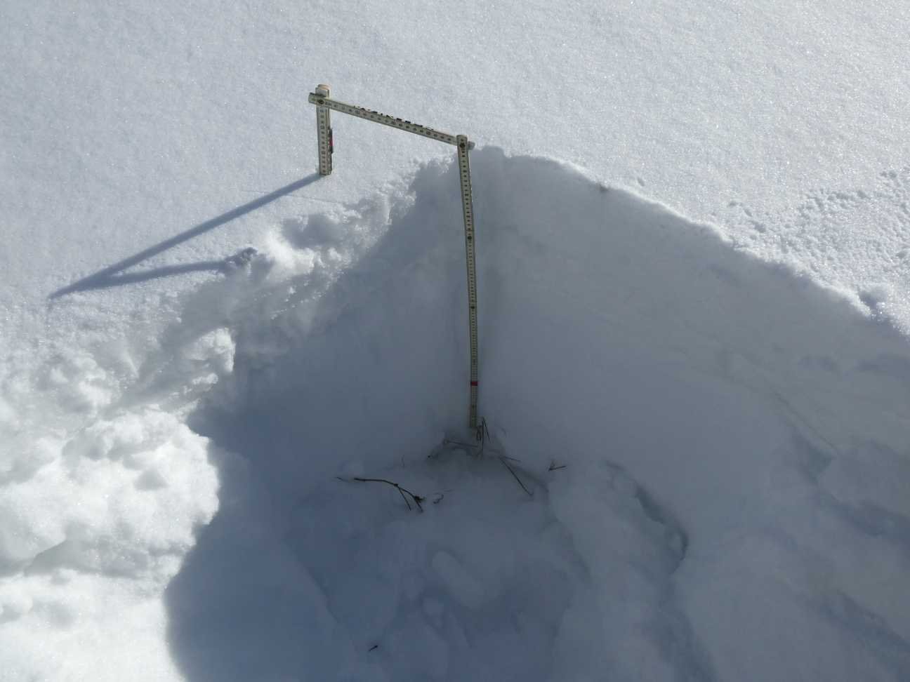
PARK CONE: March 13
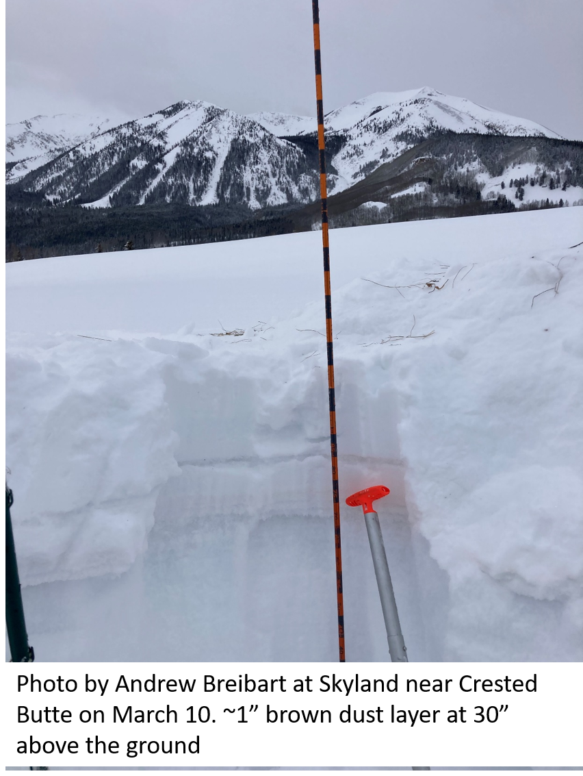
For Park Cone, snow depth is pretty deep at 42”. The two moderate dust layers are under 1.1” and 2.1” SWE. Towards Crested Butte dust is a bit more severe, which is often the case when comparing Park Cone to the rest of the Gunnison Basin. The first photo below was taken near Crested Butte showing the dust lurking underneath. The rest of the photos are from Park Cone.
GRAND MESA: March 13
Grand Mesa has a 71” snowpack along with the two dust layers at a 1’ (2.4” SWE) and 1.5’ (5.2” SWE) below the surface. While on site a storm front came through with gusty winds but it didn’t seem to be carrying any dust.
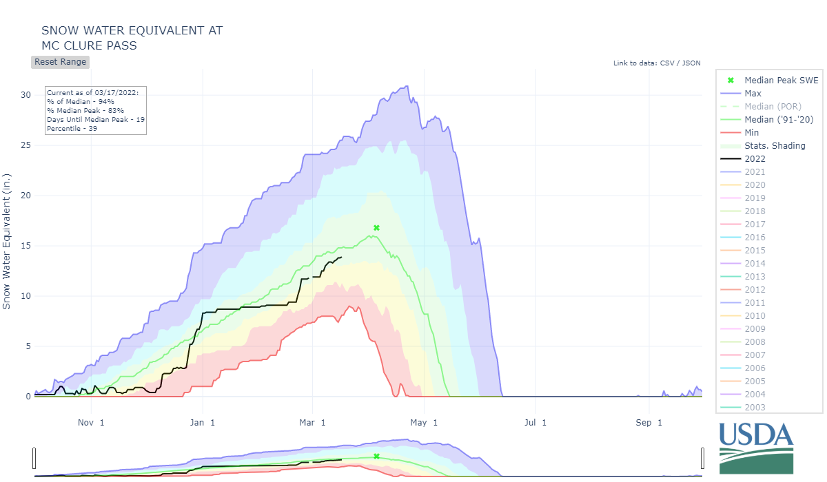
McCLURE PASS: March 13
The first dust layer at McClure is just a few inches under the surface and the second a couple more under that. SNOTEL data show near normal SWE conditions. Interestingly we measured 46” snow depth and 15.2” SWE, while the adjacent SNOTEL reported 45” snow depth and 13.5” SWE. Nearly the same snow depth but a 1.7” difference in SWE.
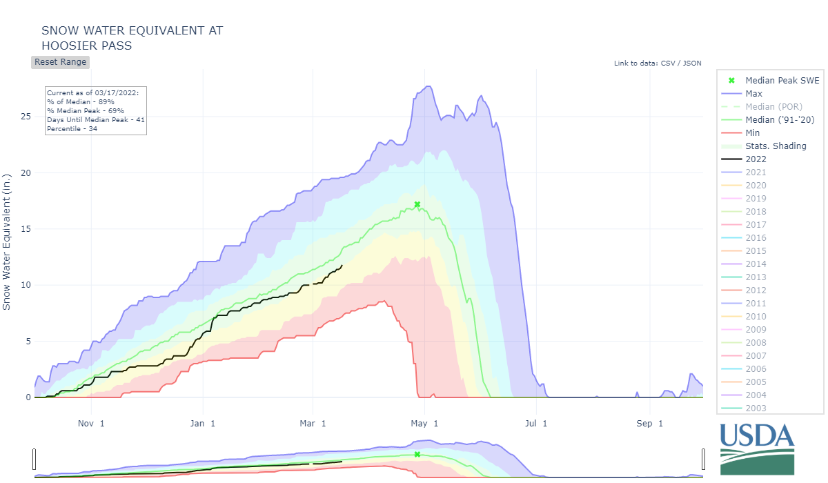
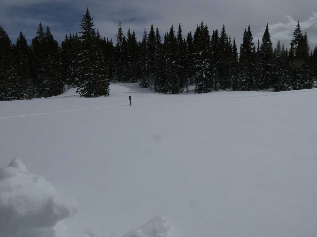
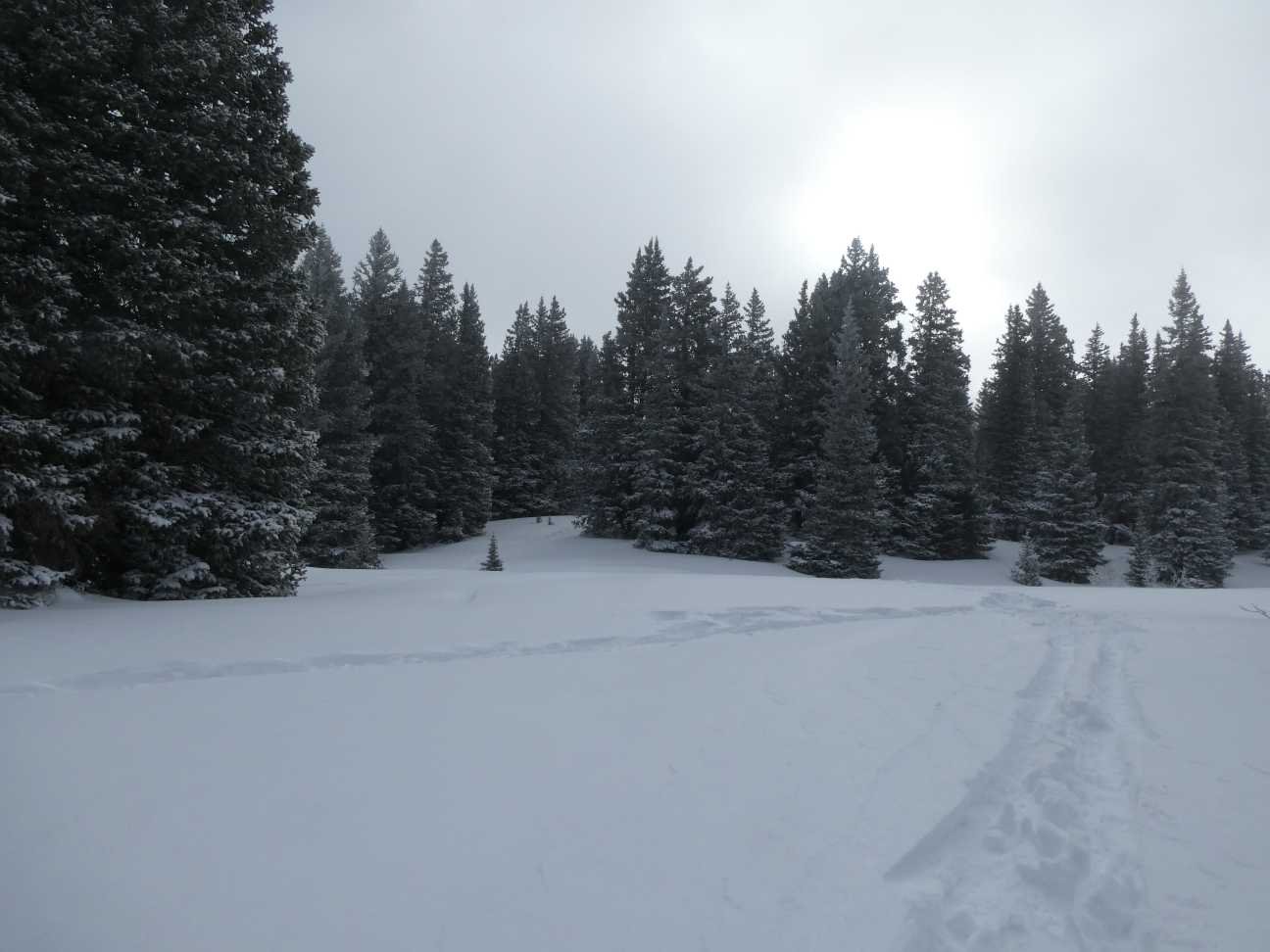
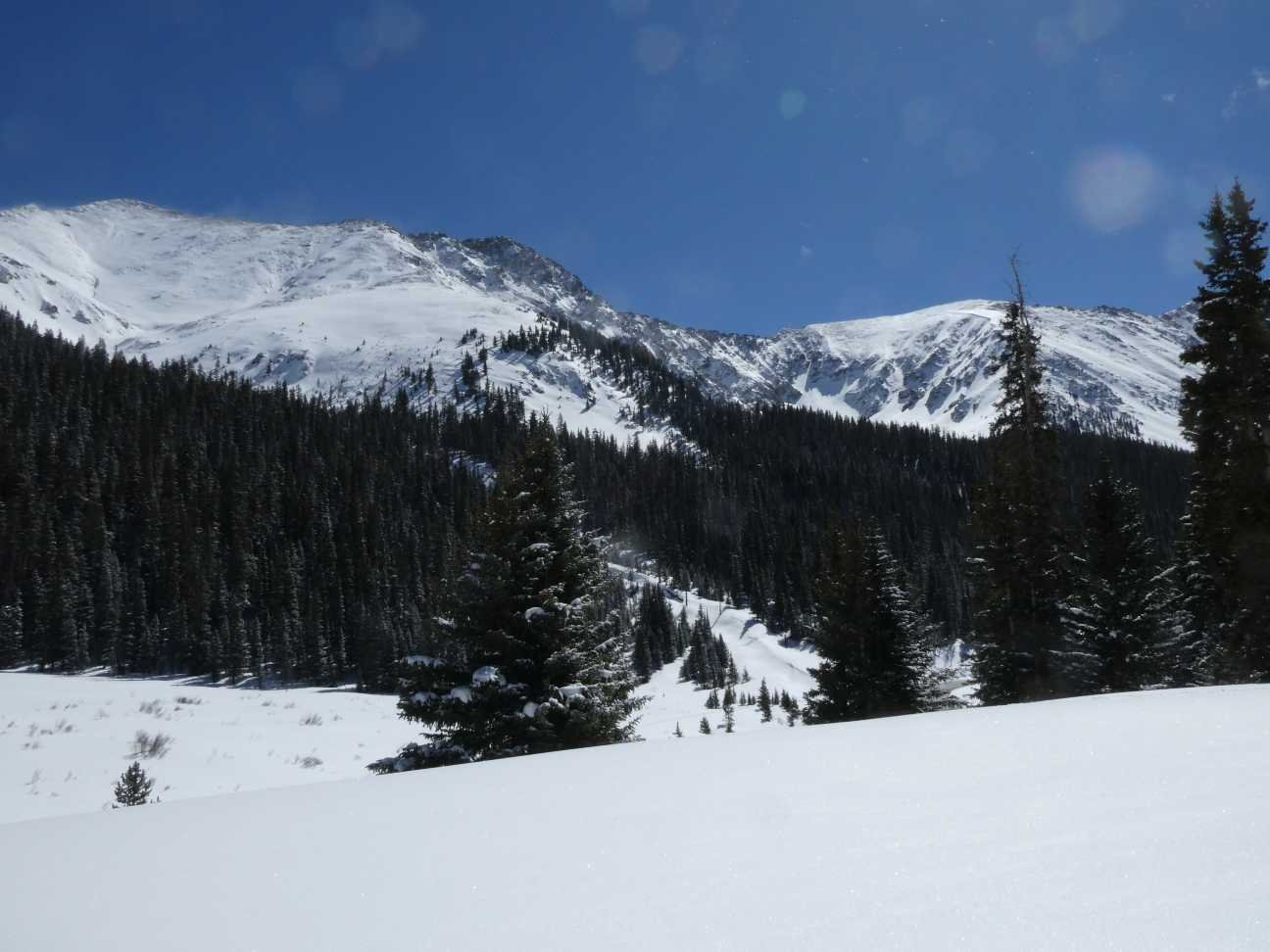
HOOSIER PASS: March 14
A hasty pit was conducted at Hoosier as no parking was available at the pass following a storm. The top crust where we expected to find the topmost dust layer was indeed there in a light fashion. We did not see dust on the next crust down. This general latitude marks where the dust laden storms lost their steam and didn’t get carried much further north, especially for the front range CODOS sites. Further west the dust likely traveled a bit farther north as dust was reported in Eagle County.
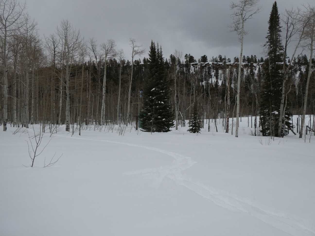
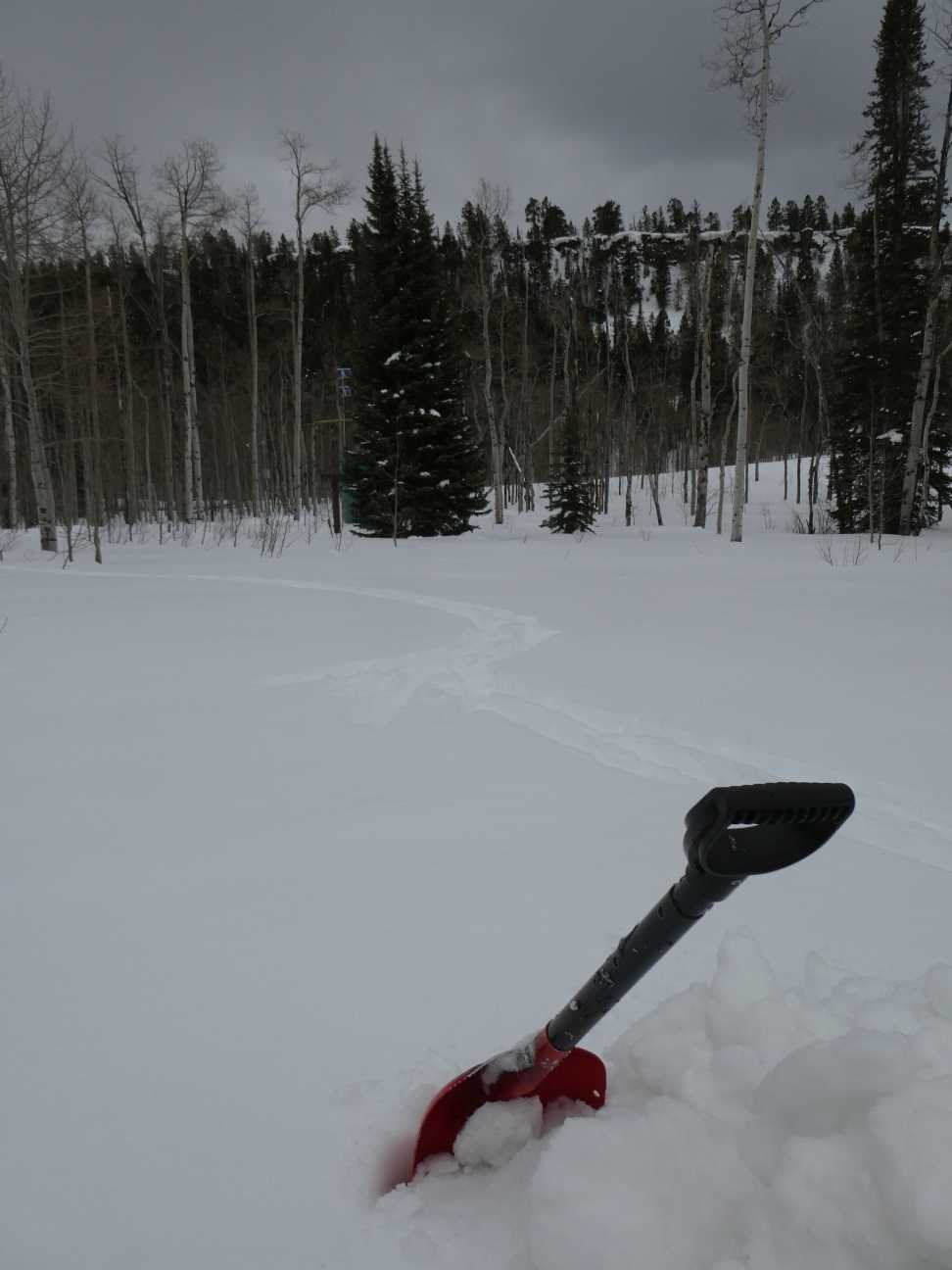
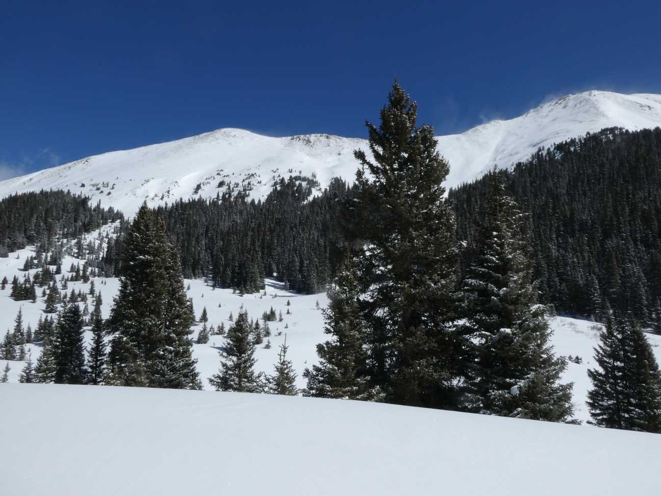
Berthoud PASS: March 14
Berthoud had 58” snow depth and 14” SWE. A few feet away the SNOTEL was reported 52” depth and 13.5” SWE. No dust was observed here or in the general vicinity.
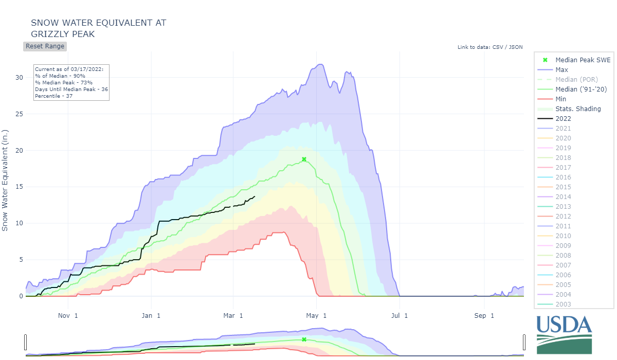
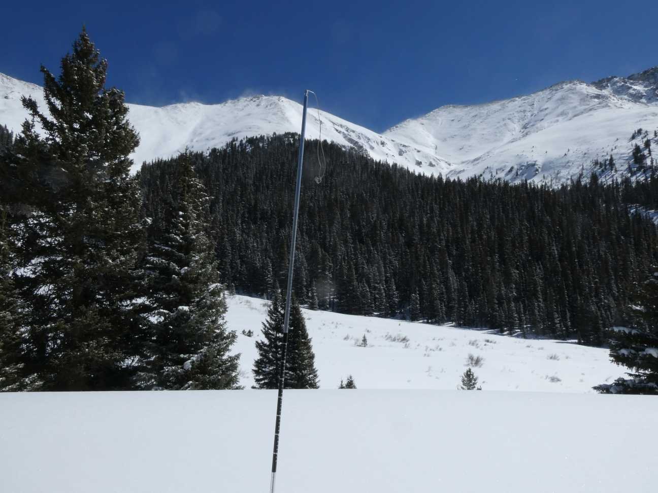
Loveland PASS: March 14
We measured 55” snow depth as 13.5” SWE at the Loveland site. Nearby Grizzly SNOTEL reported 50” depth and 13.4” of SWE. No dust was observed in the snow profile.

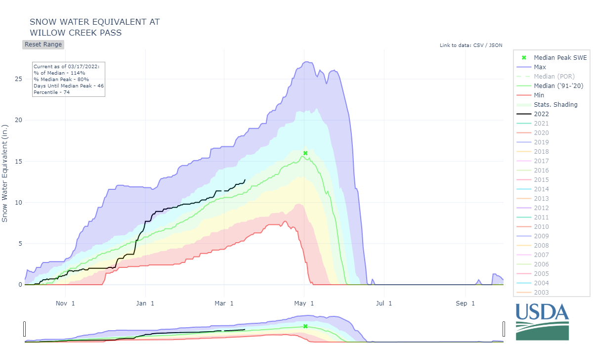
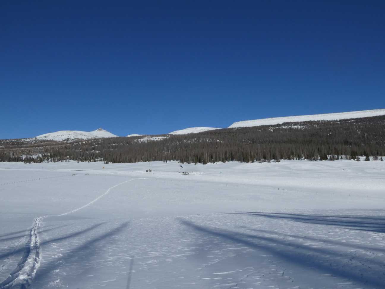
WILLOW Creek PASS: March 14
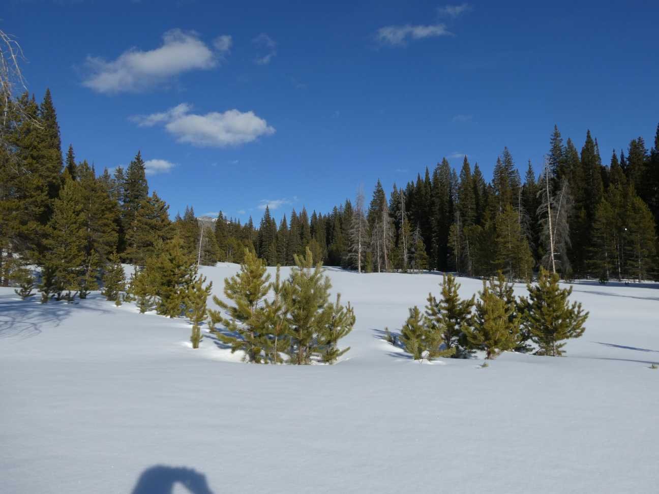
Willow Creek had a fairly deep snowpack and the SNOTEL also reported slightly higher than normal SWE. We measured 36” depth and 9.5” SWE. Willow SNOTEL reported 44” depth and 12.3” SWE. There was good general snow coverage in this region including North Park from the recent storm events. Snow depth in these areas is not really deep but widespread.
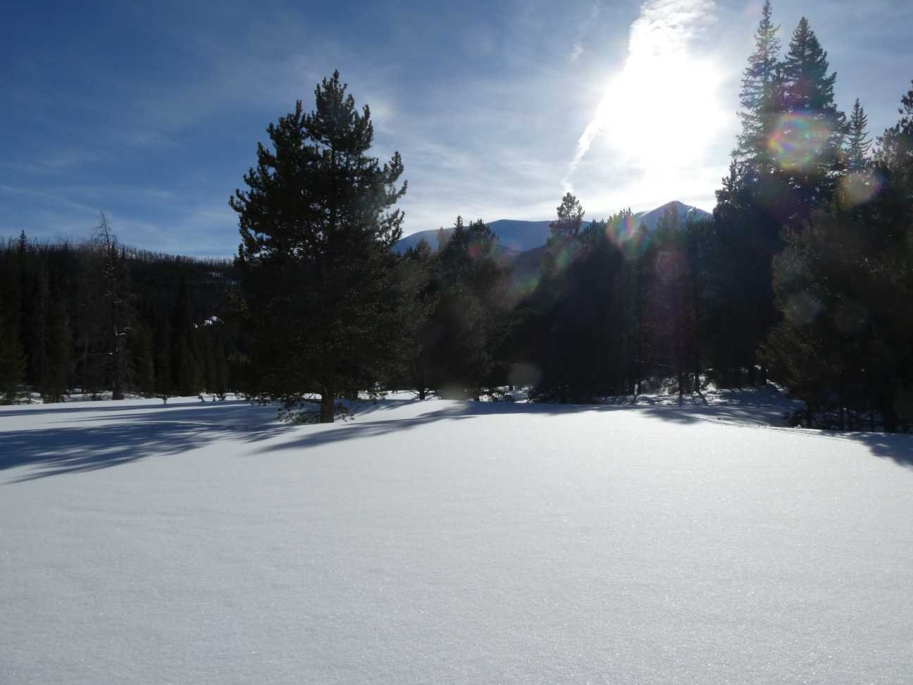
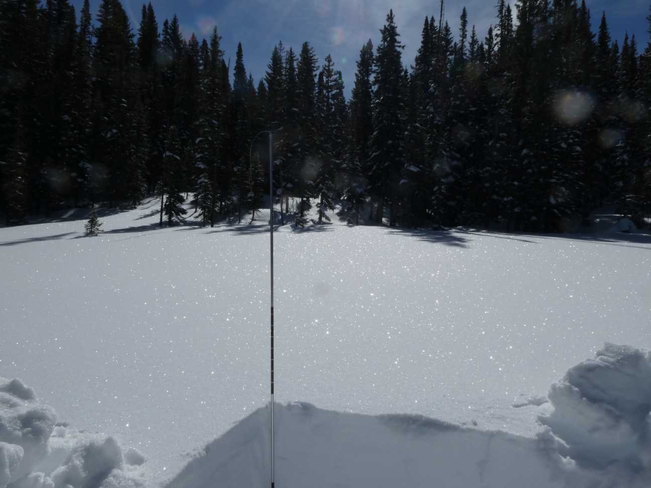
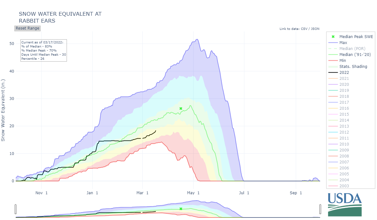
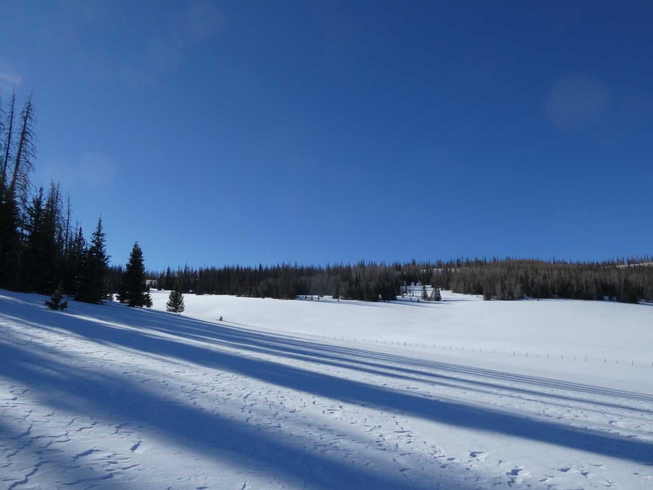
RABBIT EARS PASS: March 15
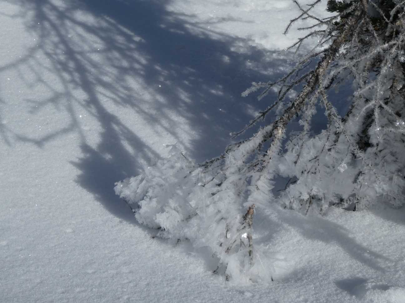
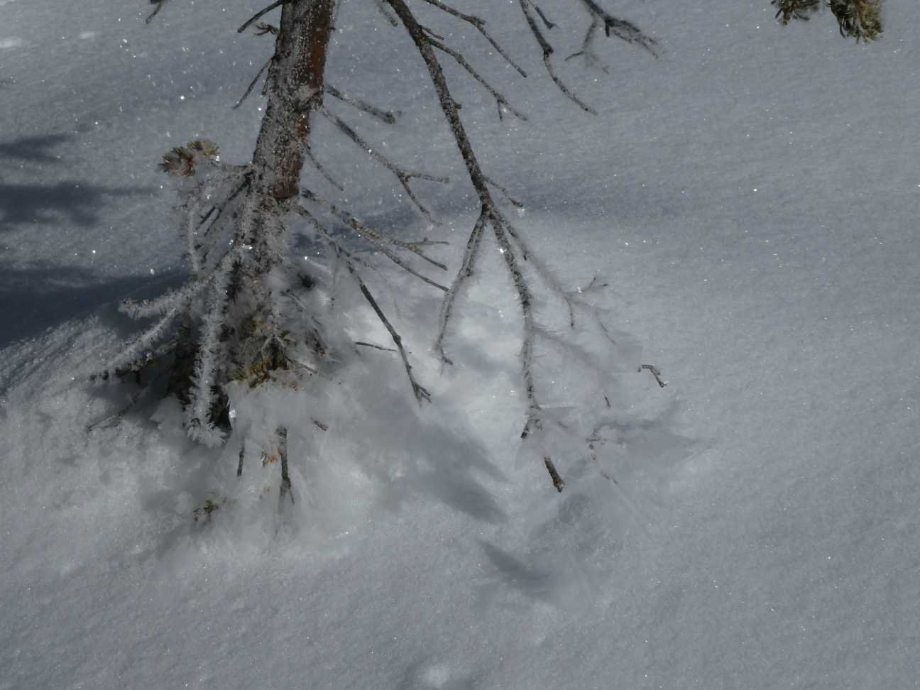
Early Tuesday morning Rabbit Ears Pass had some beautiful surface hoar on the snow and low lying vegetation. To add to that beauty no dust was observed in the snow profile. I didn’t know what to expect at Rabbit Ears as on occasion this region can get events from the Uinta Basin. Our measurements showed 73” snow depth and 20.1” SWE. The Rabbit Ears SNOTEL is showing 83% of normal snowpack for that station. It was measuring 59” depth and 17.7” SWE.