CODOS Update April 29, 2022: ALBEDO NOSEDIVE, MORE WIND/DUST IN FORECAST
Greetings from Silverton,
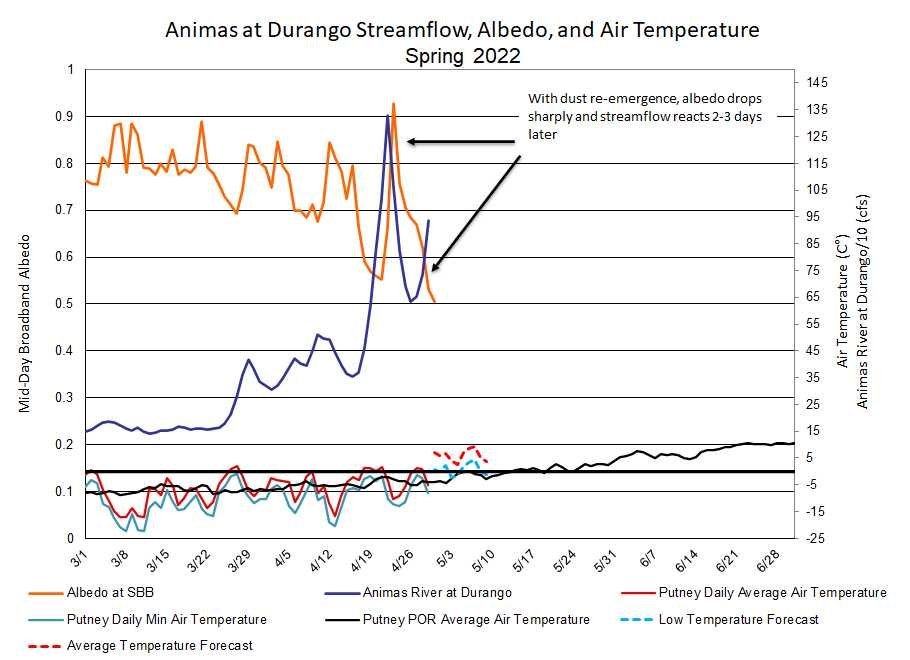
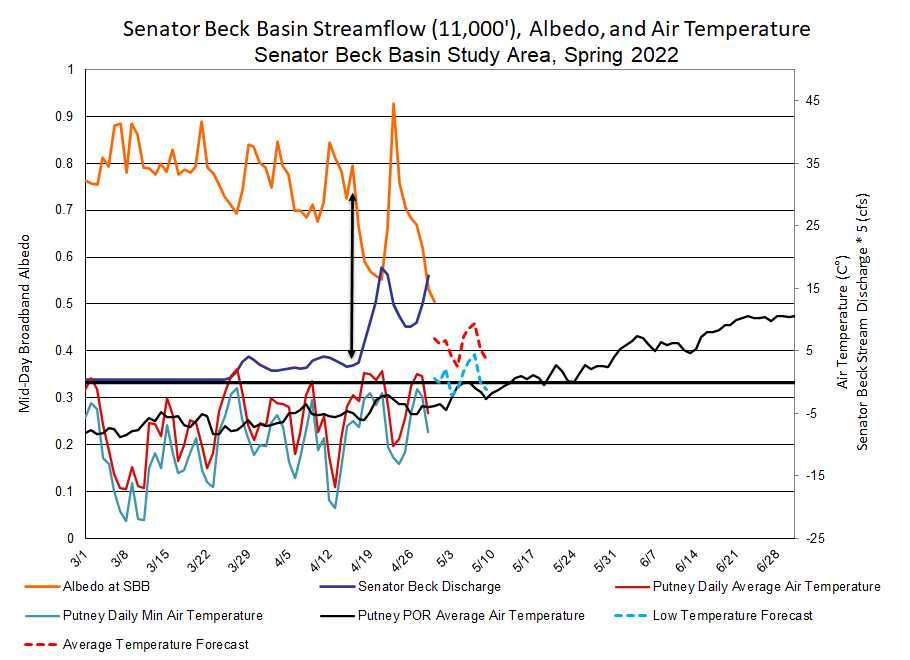
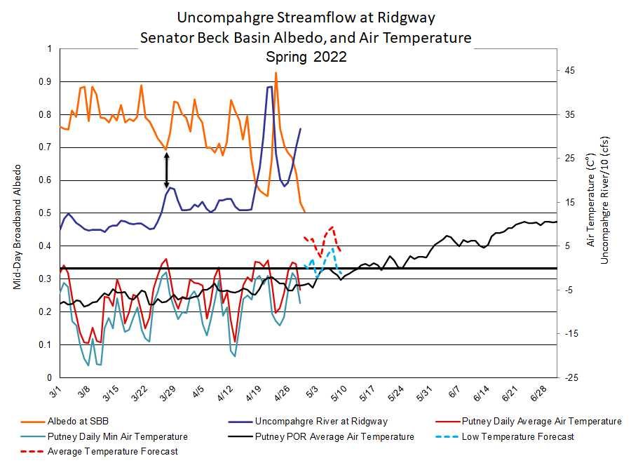
The past few days since the last update we have seen dust that was lightly covered by ~4” of snow in Central and Southern Colorado become exposed once again. Above treeline has seen more subdued snowmelt/consolidation thus dust re-emergence lags lower elevations by a few days, as seen by our observations as well as radiation data from our climate stations (see data here). Minimum and average air temperatures have increased over the last few days. The days have been sunny and at times a bit blustery.
Of our general categories “min”, “average”, and “max” dust severity, Southern Colorado is firmly in the “max” category. Moving north towards the CO Mainstem conditions transition to “upper-end of average”. Since I joined CSAS in 2015 we have not seen a “max” year. Three pillars make up our dust-enhanced runoff space: snowpack conditions going into spring, dust severity, and spring weather. Without doing a detailed analyses Spring weather is dry – not providing much precip to add to SWE totals or a fresh, clean snow surface.
The forecast is more of the same - Wind. Winds and increased air temperatures are expected ahead of a few low-pressure systems coming through this week. The low pressure troughs themselves are expected to bring chances of precip, increasing generally northward. If we receive an inch or two of snow accumulation that will tap the brakes on rapid snowmelt. So given the forecast we may see periods of improved albedo and streamflows holding steady. But expect more dust to be added to the snowpack surface, when the NWS issues a dust warning that is never a good sign.
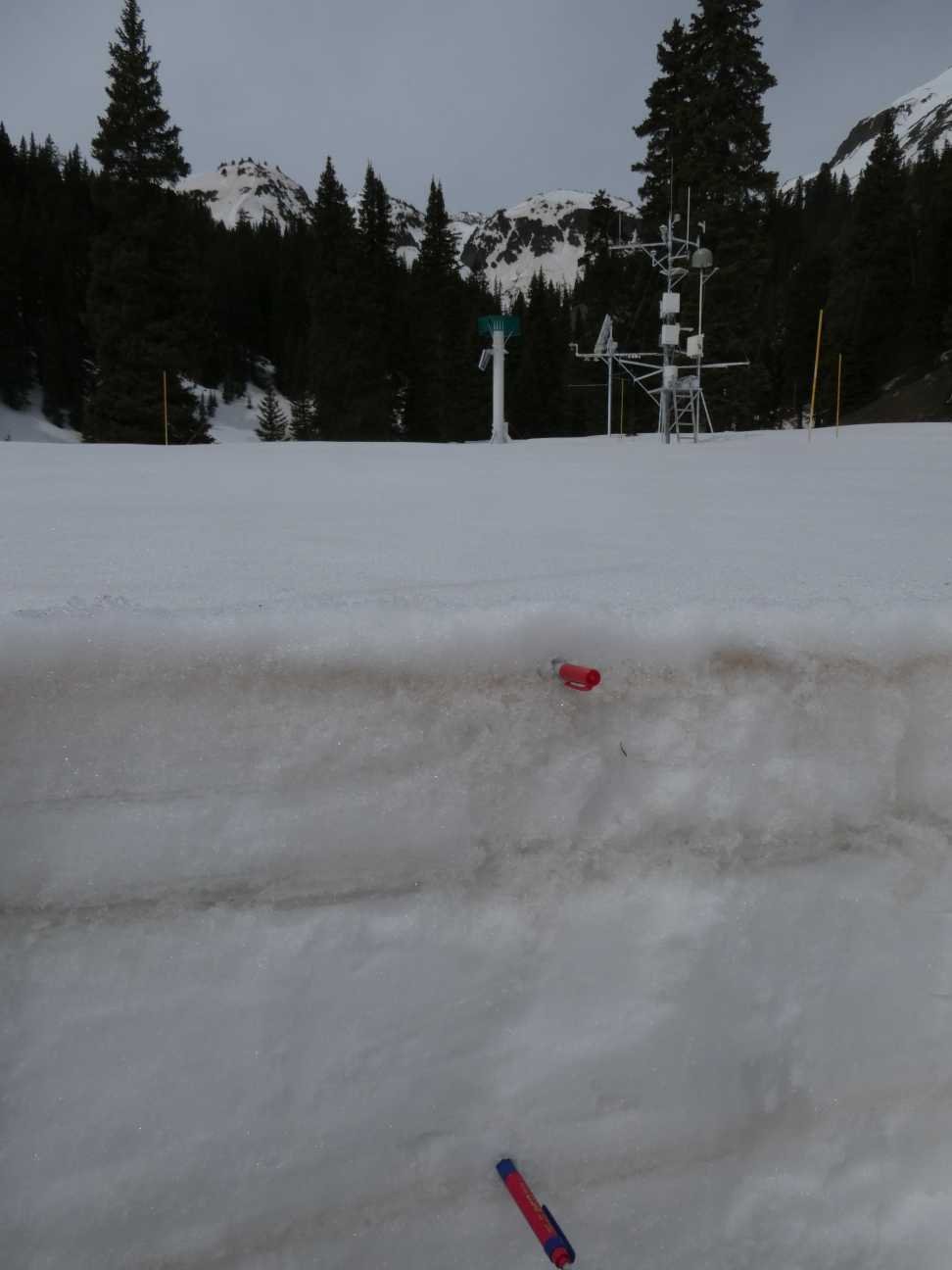
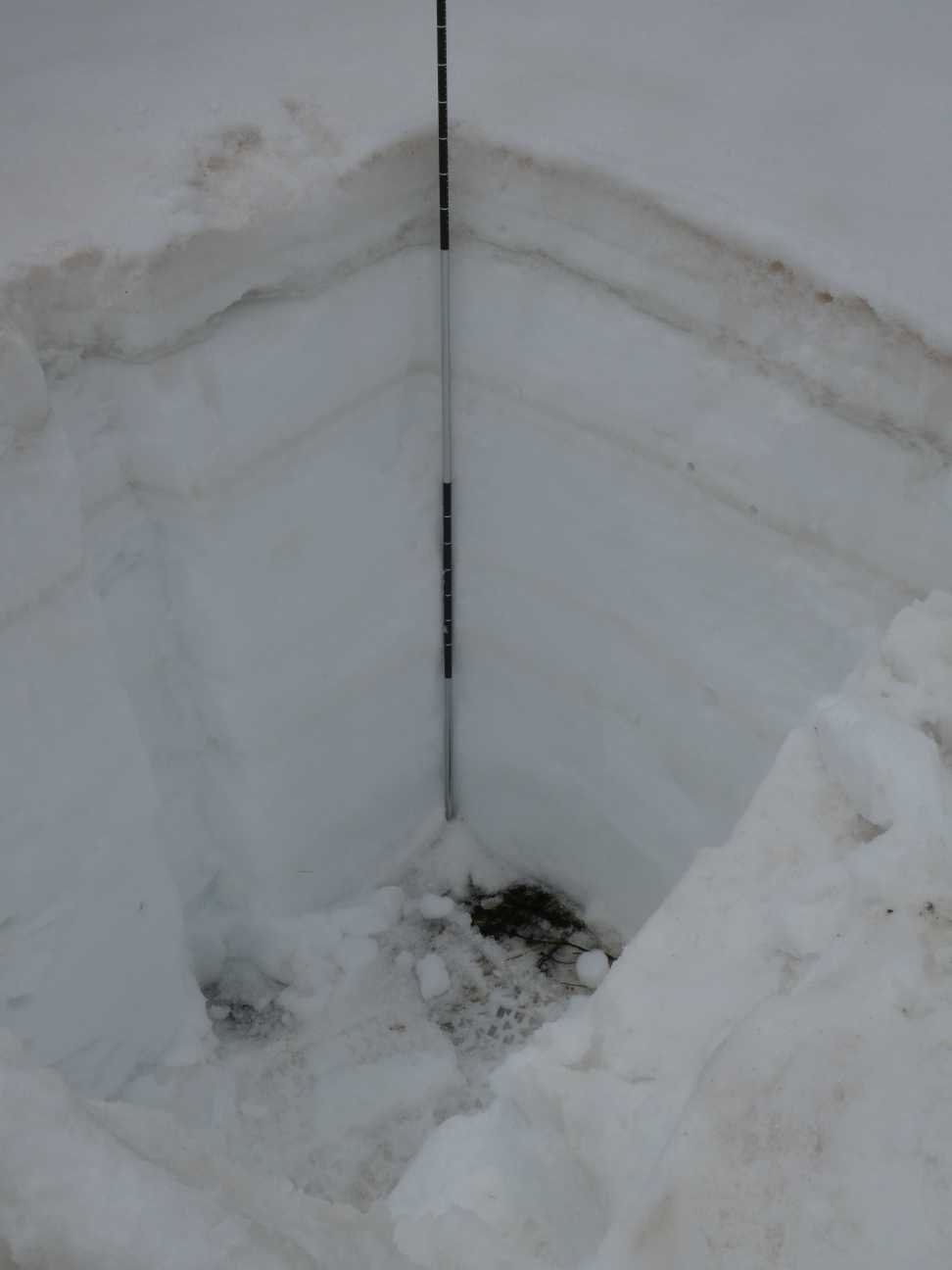
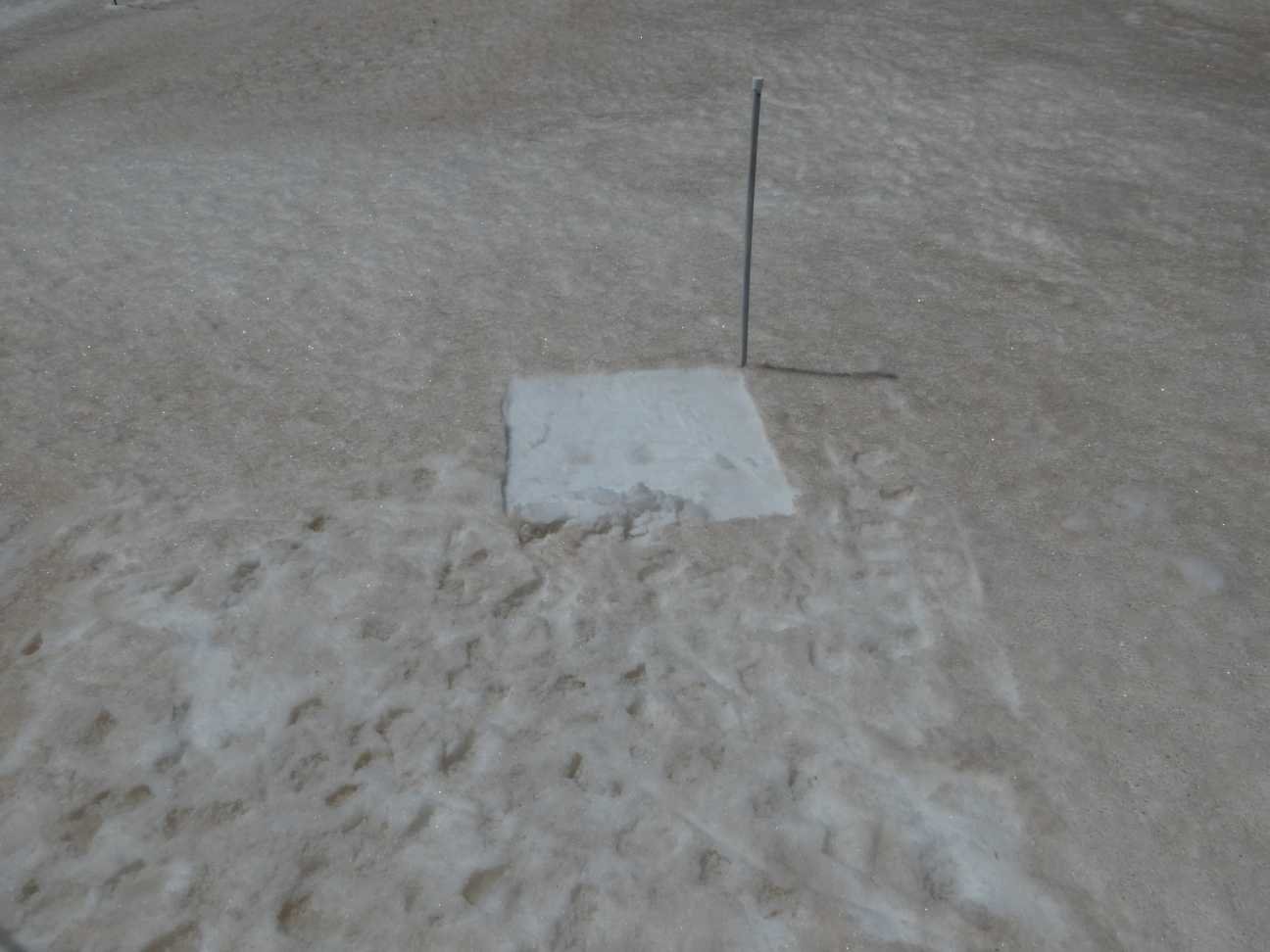
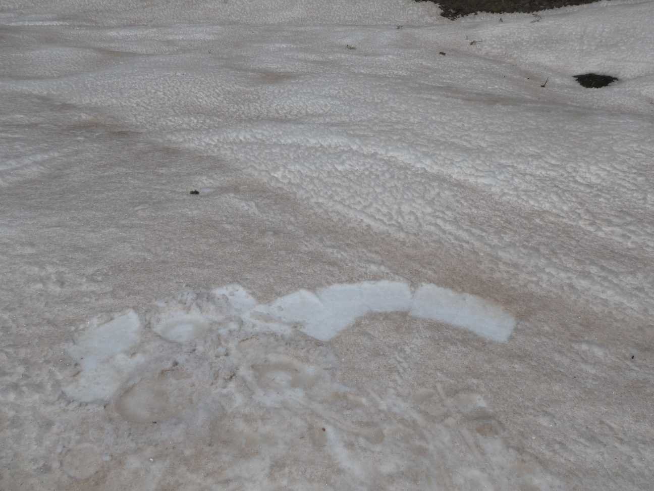
Snow profile observations yesterday at Swamp Angel show a total 18.7” of SWE. Dust layer #3 is 1’ under surface. When this merges to surface (in a week considering typical snowmelt rates?), the snow surface will be even dirtier.
Take Care,
Jeff Derry
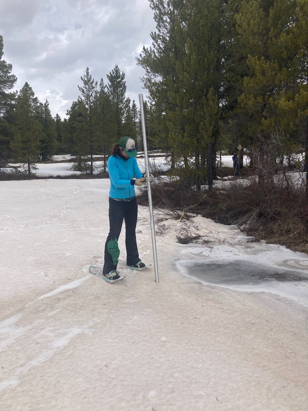
Above: Cheryl Cwelich with Upper Gunnison River Water Conservancy District and Katie Walsh with NRCS on April 27. Photos taken at Crested Butte Snow Course in the Slate River Watershed north of Crested Butte, CO. Photo taken by Andrew Breibart, BLM Gunnison Field Office. Obviously dust is back on surface in this region.
Below: Plots of SWE from snow profiles at Senator Beck Study Plot (SBSP) and Swamp Angel Study Plot (SASP). SWE at SBSP is surprisingly low this season. It is a highly variable environment but nonetheless SWE amounts usually reflect overall conditions pretty well at this site.


Below: Just how variable is albedo in the spring? Below is a plot of albedo since WY2006 at Swamp Angel. WY2022 (red line) shows how albedo dipped when dust was at the surface the middle of April and then the albedo reset when we received precip a week ago. Since then albedo has been dropping as the dust comes back to surface. This being a severe dust year in Southern Colorado, how low will albedo go with D4-7 emerged? How much lower when D3 (which is 1’ below surface) merges at surface with D4-7? It will be interesting to see. Currently, this is some of the lowest albedo values we have seen for this time of year. WY2009 (purple line) was also a notorious bad dust year and gives an idea how albedo can drop without added snowfall.

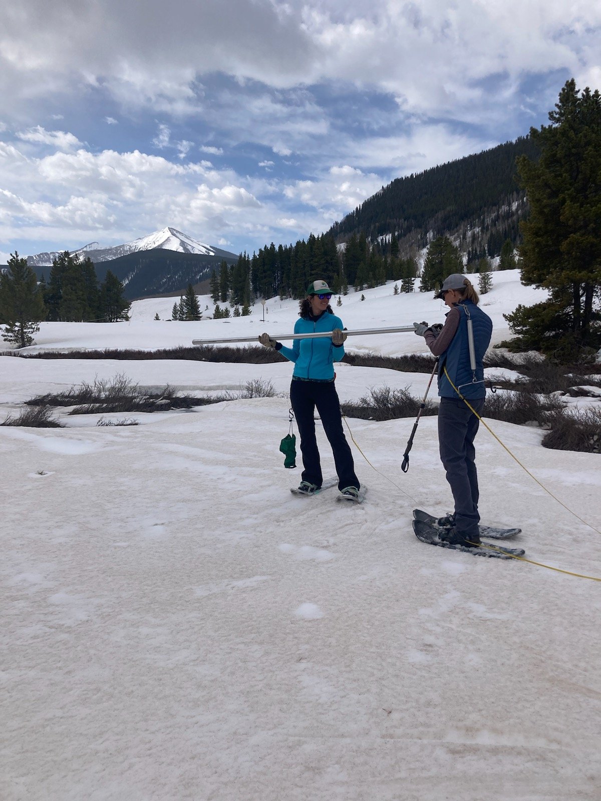
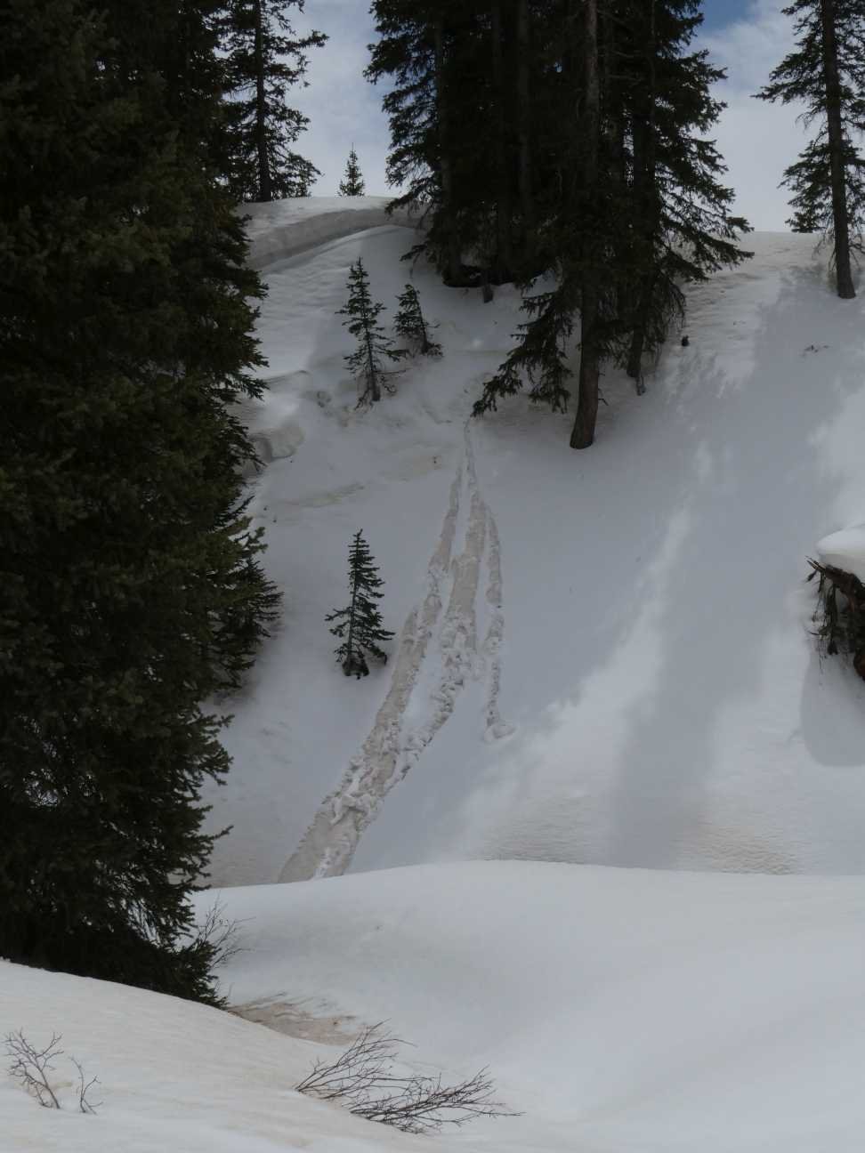
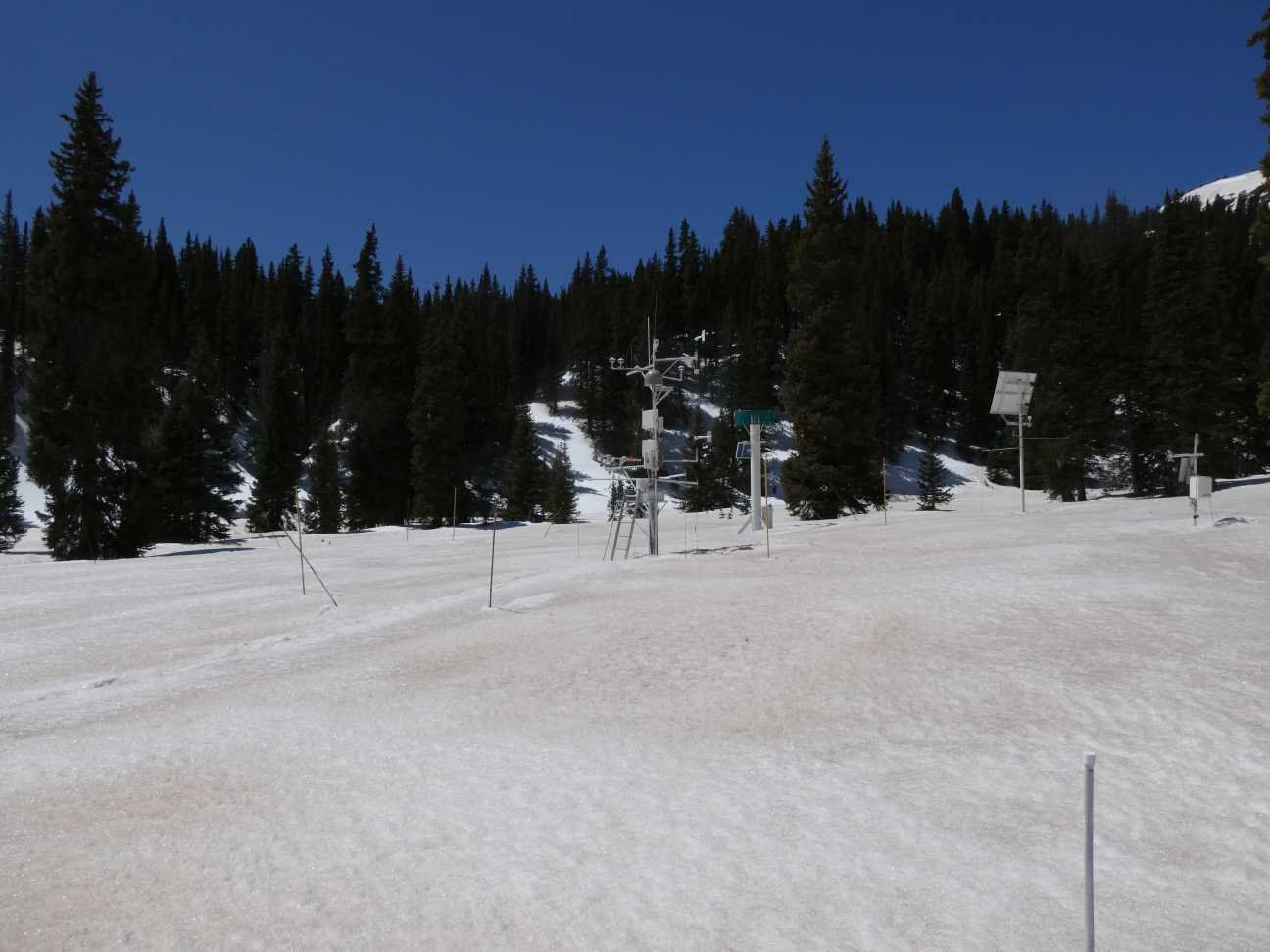
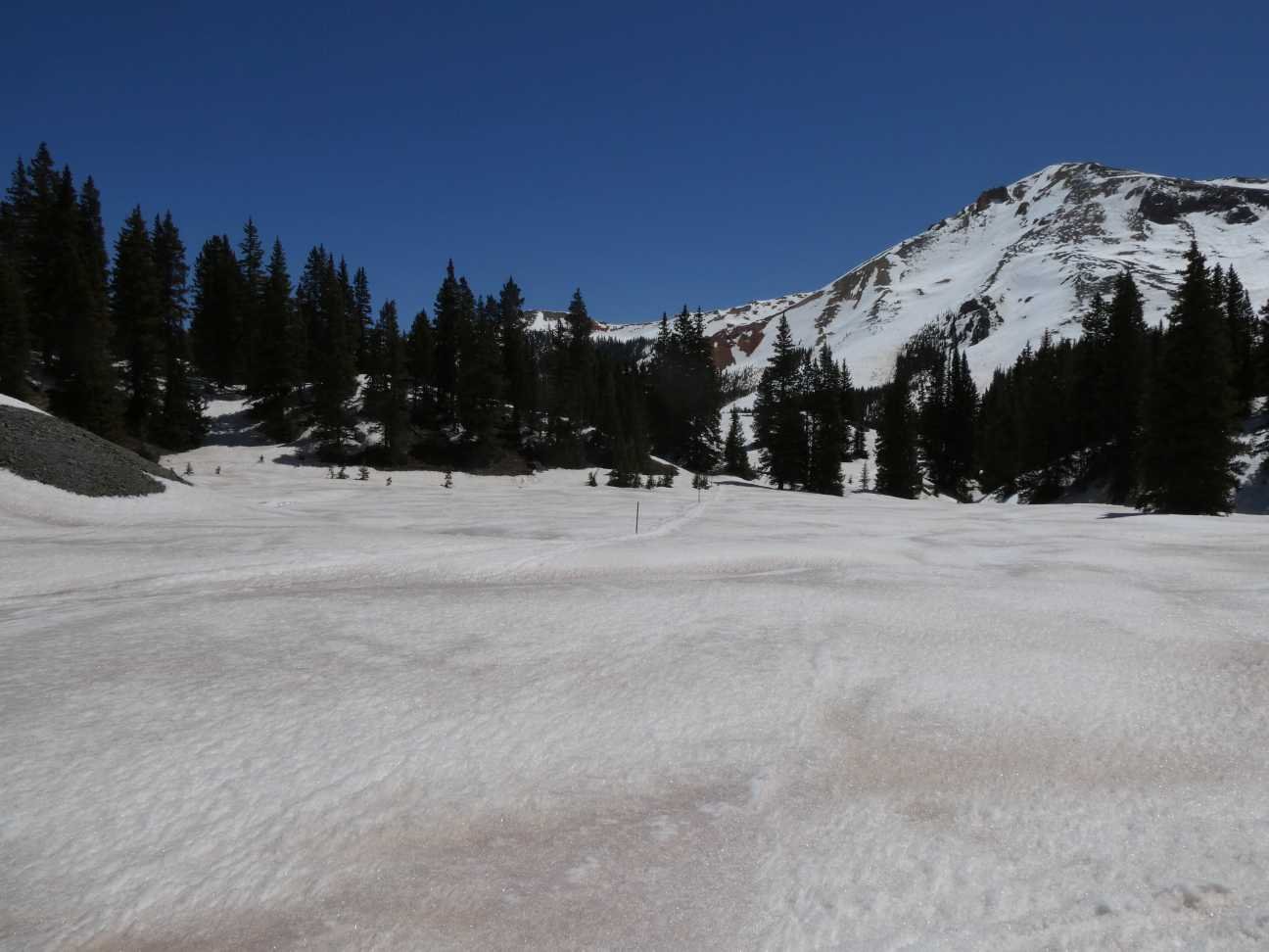
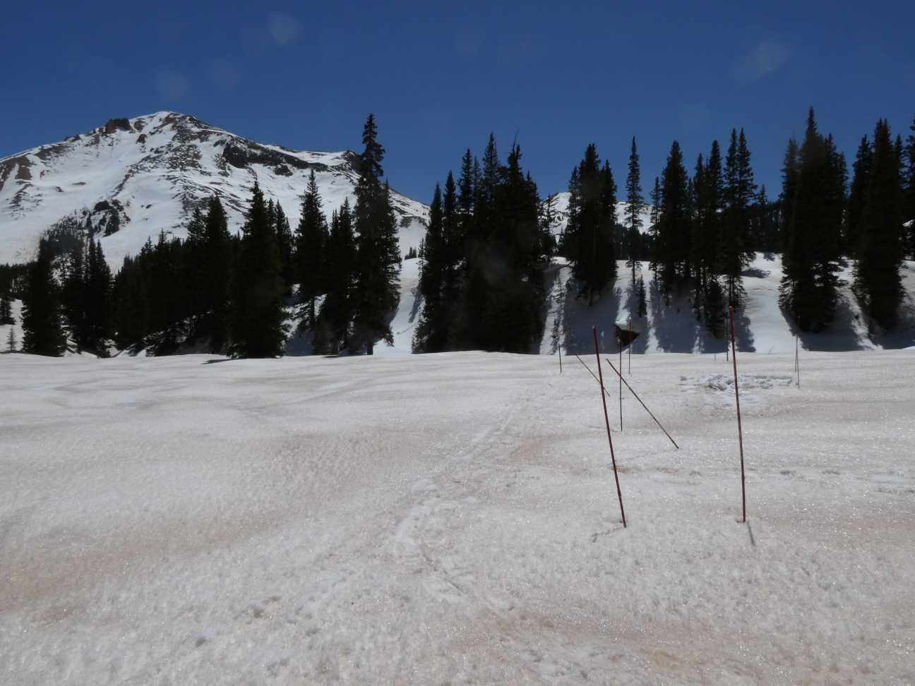
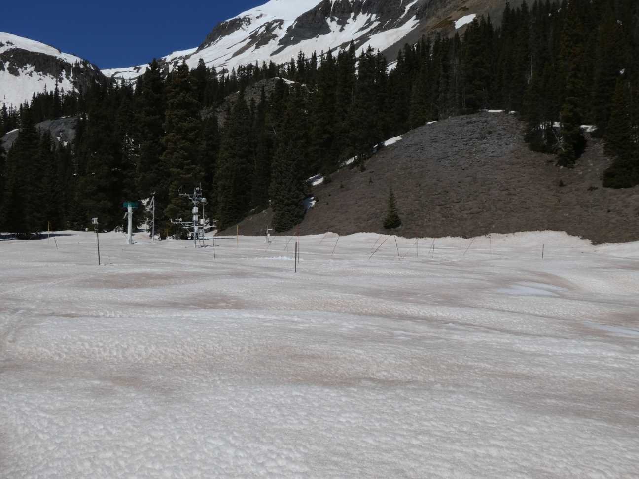
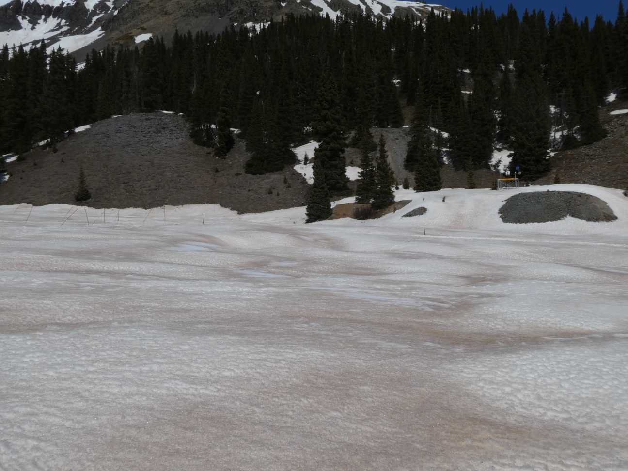
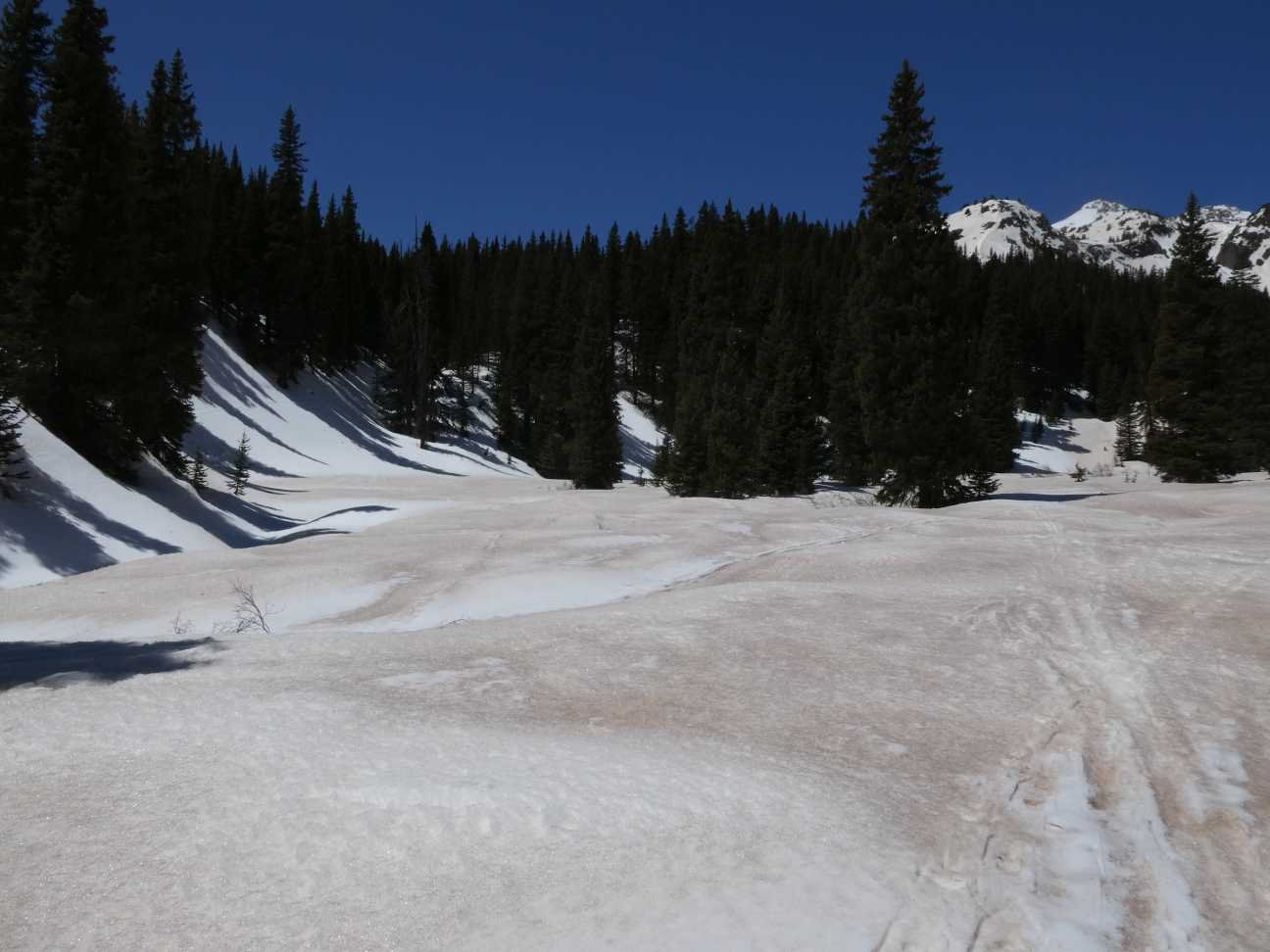
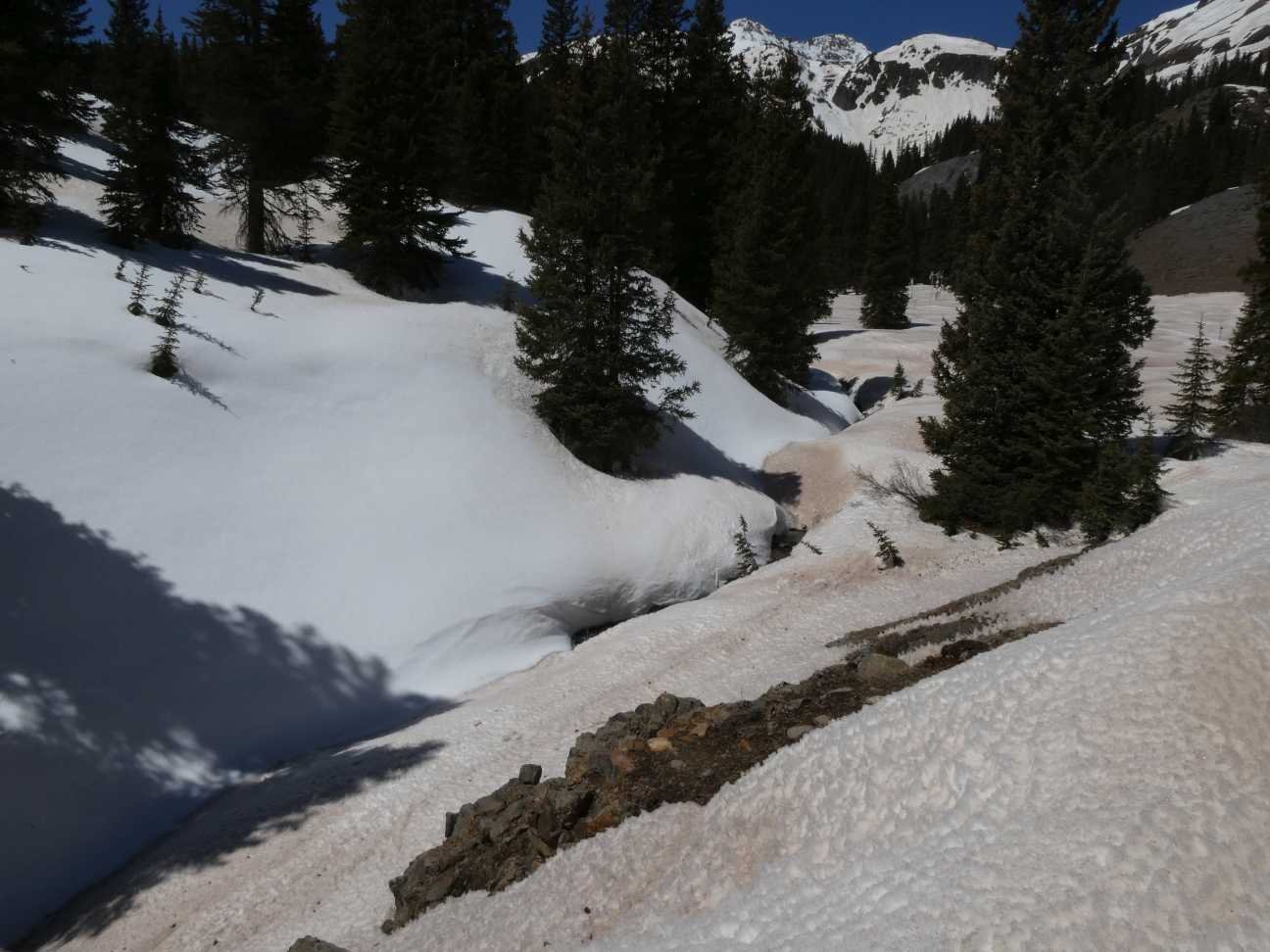
Below: Snow profile on April 28 and surrounding landscape on April 30.
Below: Snowdepth plots for SBSP and SASP.