

CODOS UPDATE april 10, 2024: More dust, SEnator BEck Obs, Warm-Up Ahead
Greetings from Silverton,
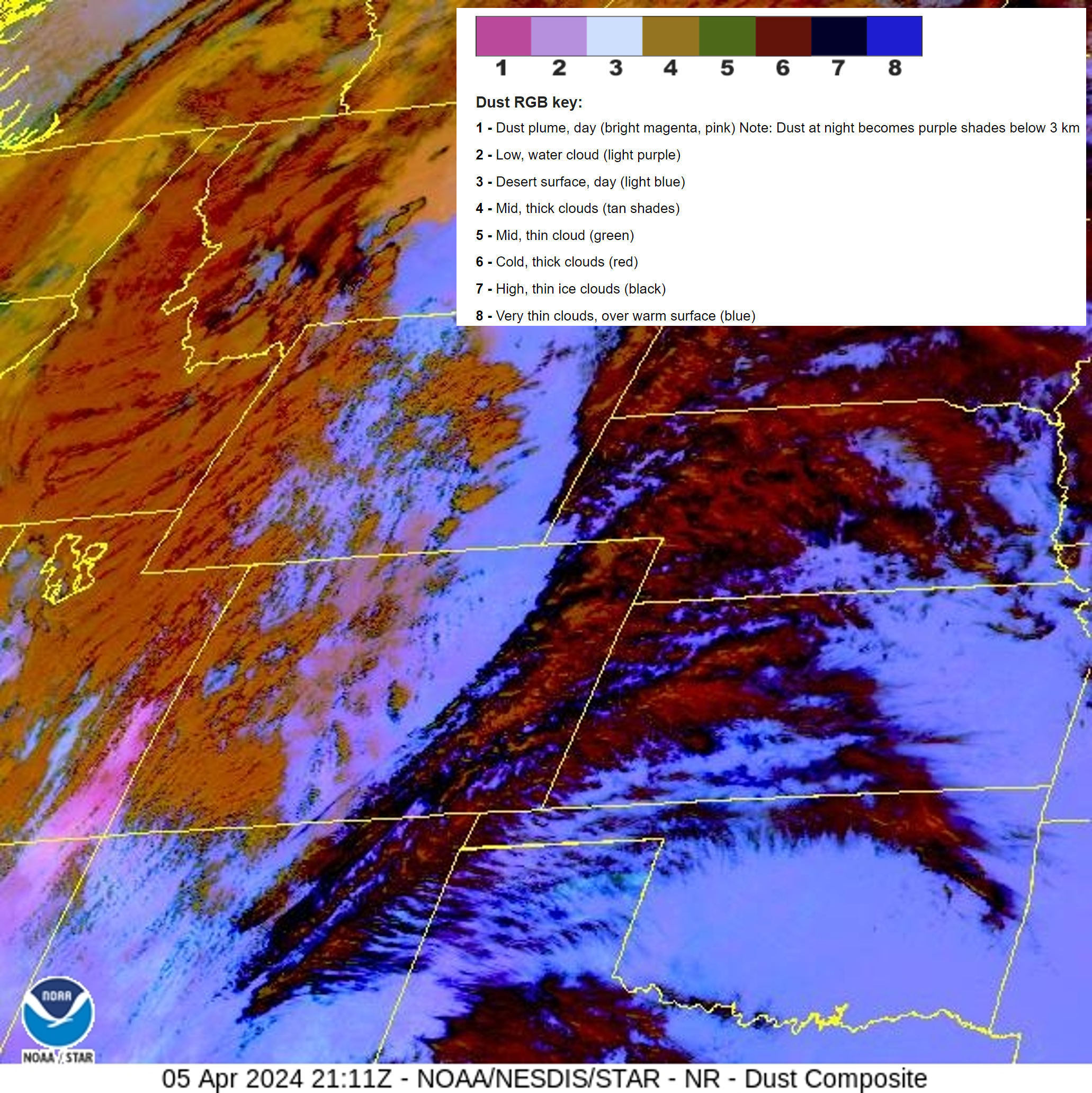
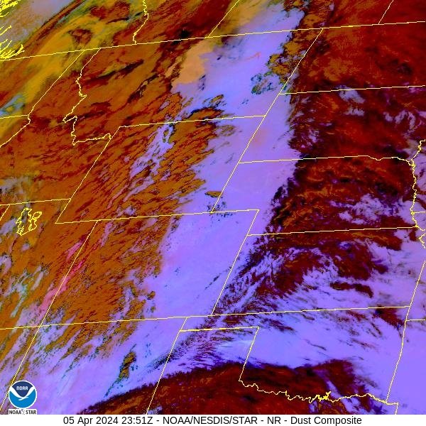
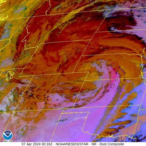
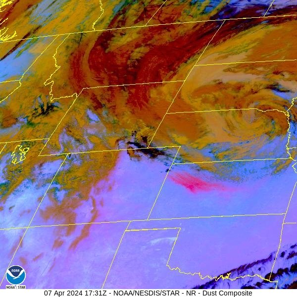
Colorado saw sustained high winds April 5-7. It was pretty impressive. It threatened to blow over everything in it’s path and it sure did kick up all kinds of dust. At our Putney station we observed wind speeds a tad over 80 mph. For those few days it was best to stay inside. Being that the system initially came up from the Four Corners region (mainly Arizona) naturally it kicked up and transported a lot of dust into Colorado, but it was kind of hit and miss as to where most of it ended up (see satellite images below), at Senator Beck it was pretty light. But still, this means we received dust event #4 starting on April 5. See photos below for a sense of severity at Senator Beck Study Basin. Here in about a week we will do the codos tour for April and determine changes since our March tour of dust severity and extent.
The forecast is calling for a warm and sunny next 4-5 days. The NWS says a period of cooler and unsettled weather is likely during the first half of next week, but just how unsettled remains a question. With spring conditions in place and the most recent dust event near surface, it is time to consider the clean snow surface transitioning to a dirtier, lower albedo that will mean an increase in snowpack warming and melt. In fact, snowmelt is underway as observed by colleagues in the Roaring Fork watershed where some sample locations are already devoid of snow and other locations (near 11,000’) where dust is exposed at surface and the snowpack is warmer than average for this time of year. Expect a rapid warming snowpack this week and even more so when/where dust has surfaced. Until notable stormy weather moves in this will be our condition.
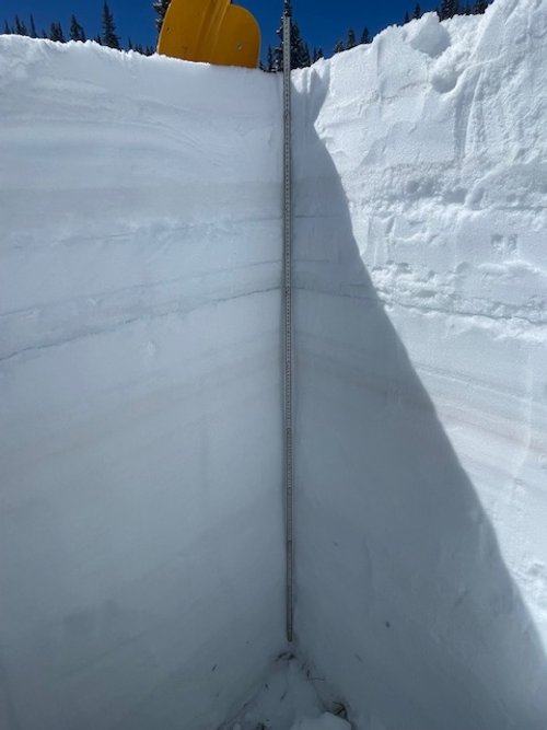
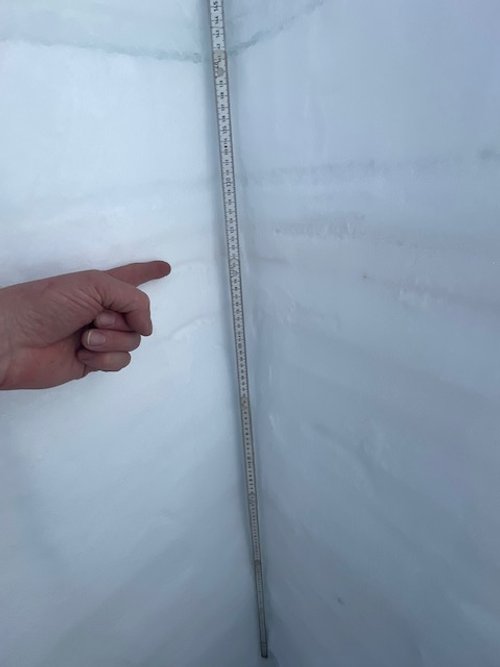
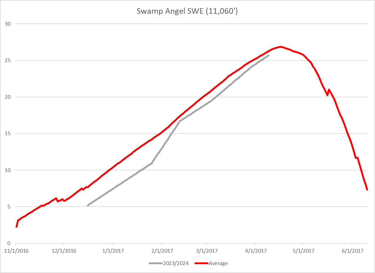
At Swamp Angel (11,060’) D4 is 4.5” below surface and very faint, a surprise for the wind intensity of that storm. D3 is about 9” below the surface and relatively light. D2/D1 are close together and 25” below surface, and by far the most severe. SWE is 25.7” (less than an inch below average) while Red Mt SNOTEL reports 21.8”. See profile here.
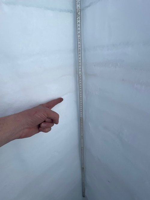
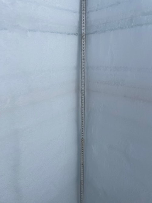
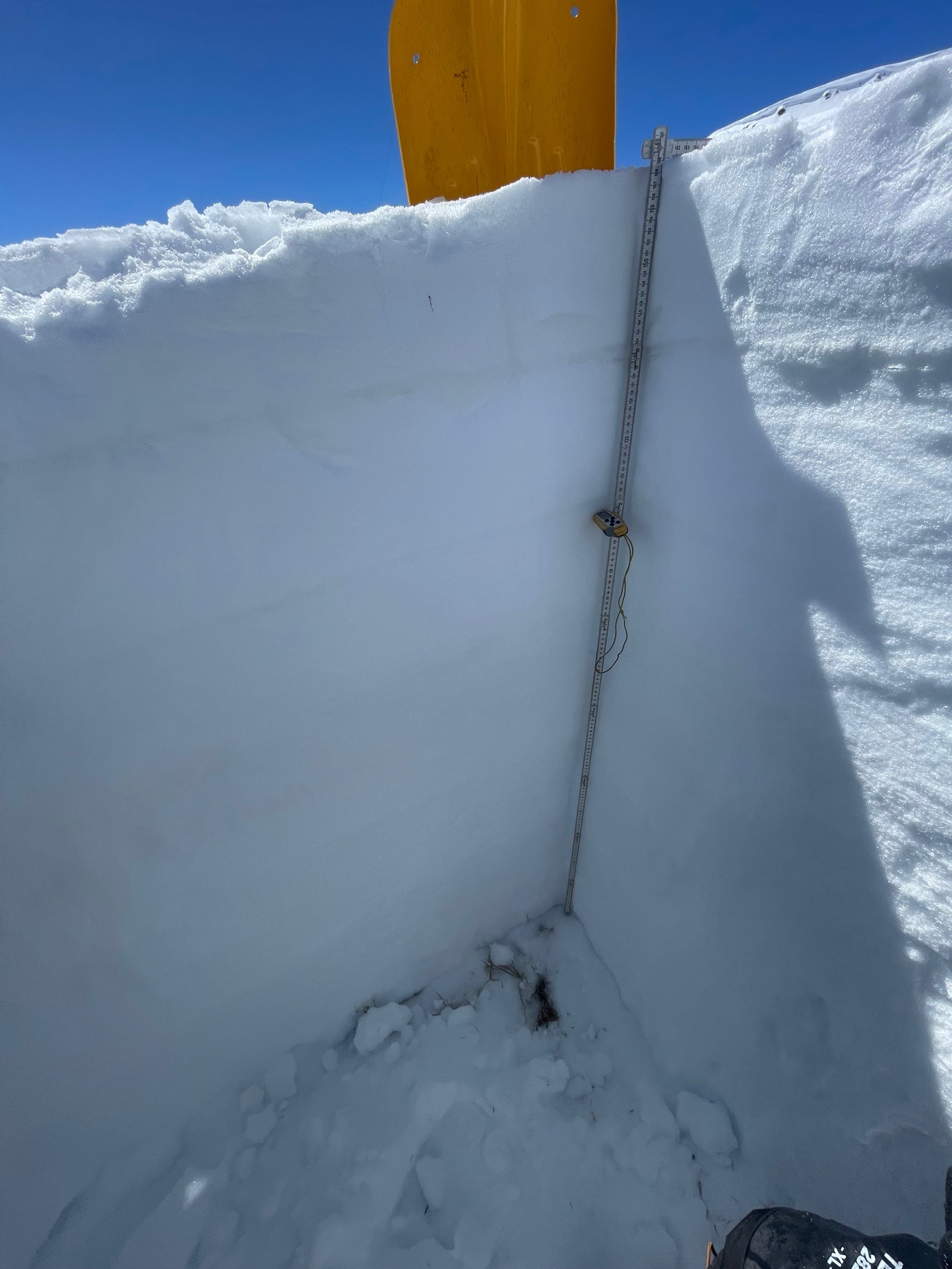
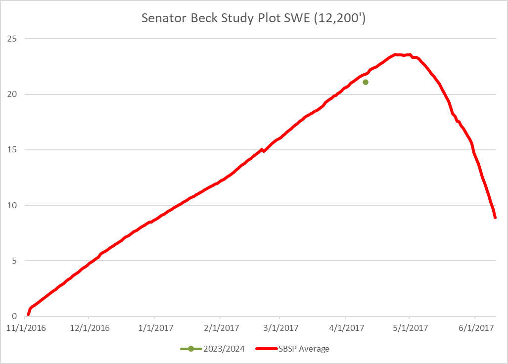
At Senator Beck Study Plot (12,200’) the dust layers are all faint compared to what we see at Swamp Angel. SWE is 21.1” (less than an inch below average). Average snowpack temperature is about -2.5 degrees C. See profile here.
Below: April 9 snow profile at Swamp Angel. Dust event #1 and #2 are so close together they are essentially one, severe, layer. Dust event #3, occurring on March 30/31, is light. And D4 that came through April 5 is faint, but still evident.
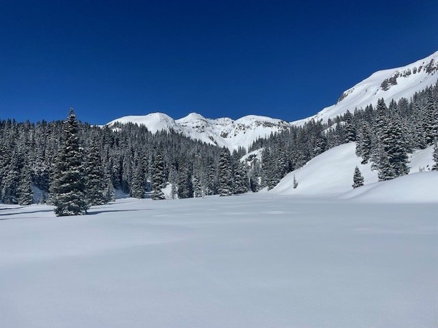
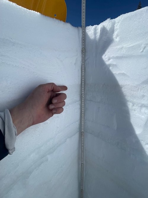
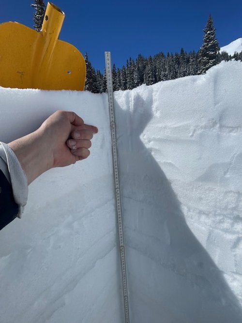
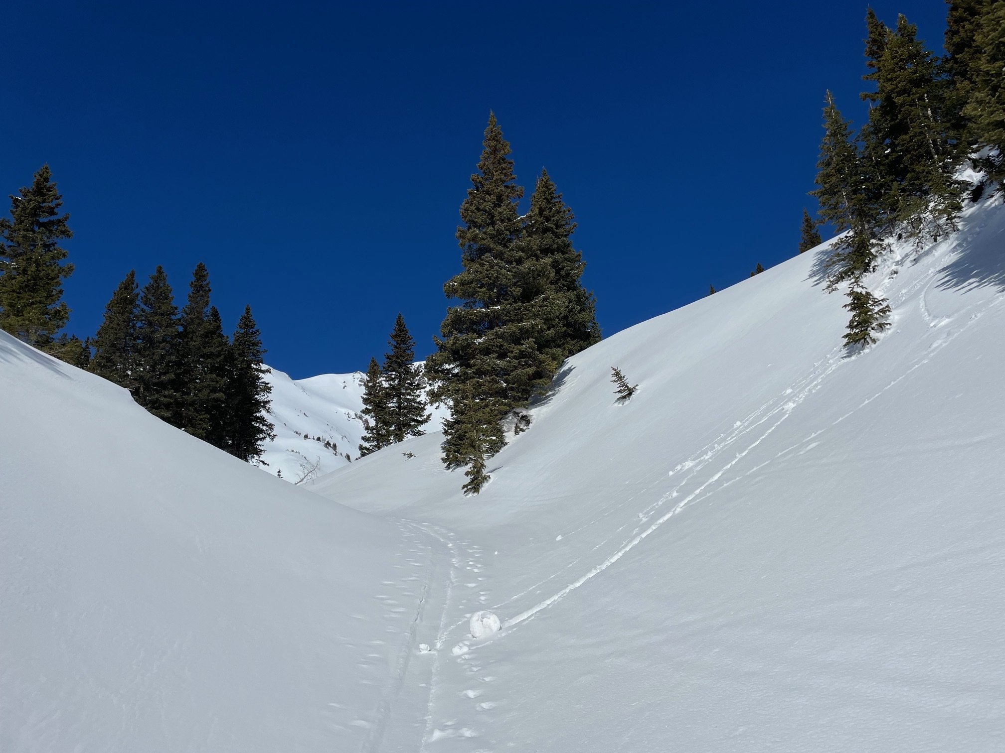
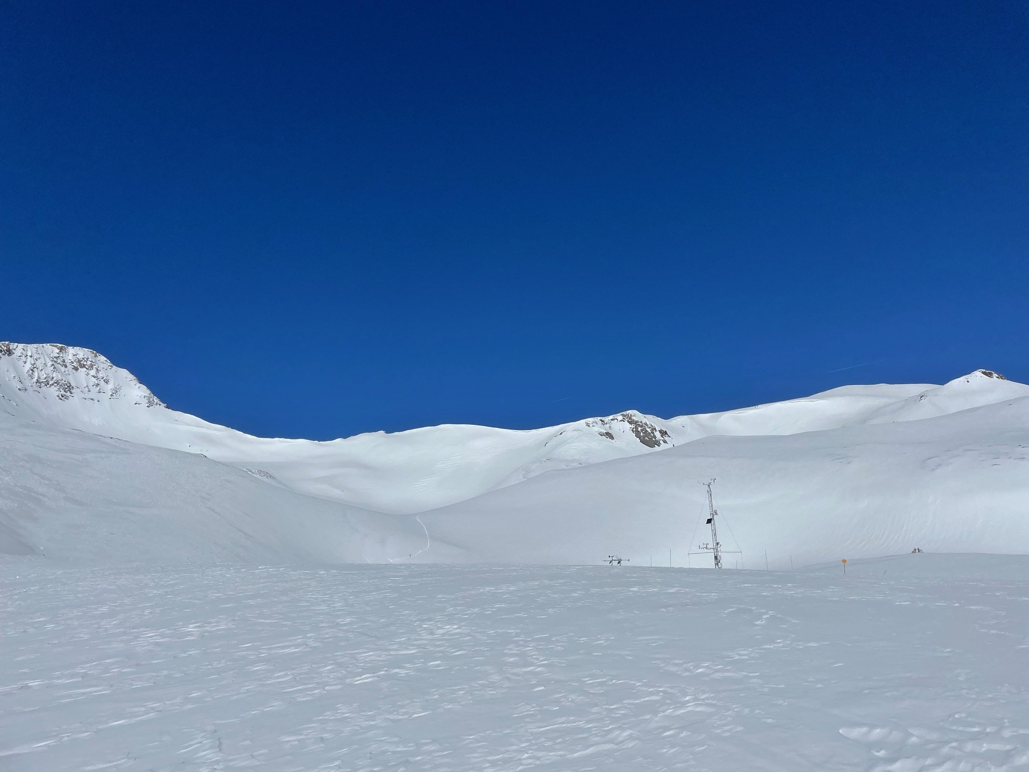
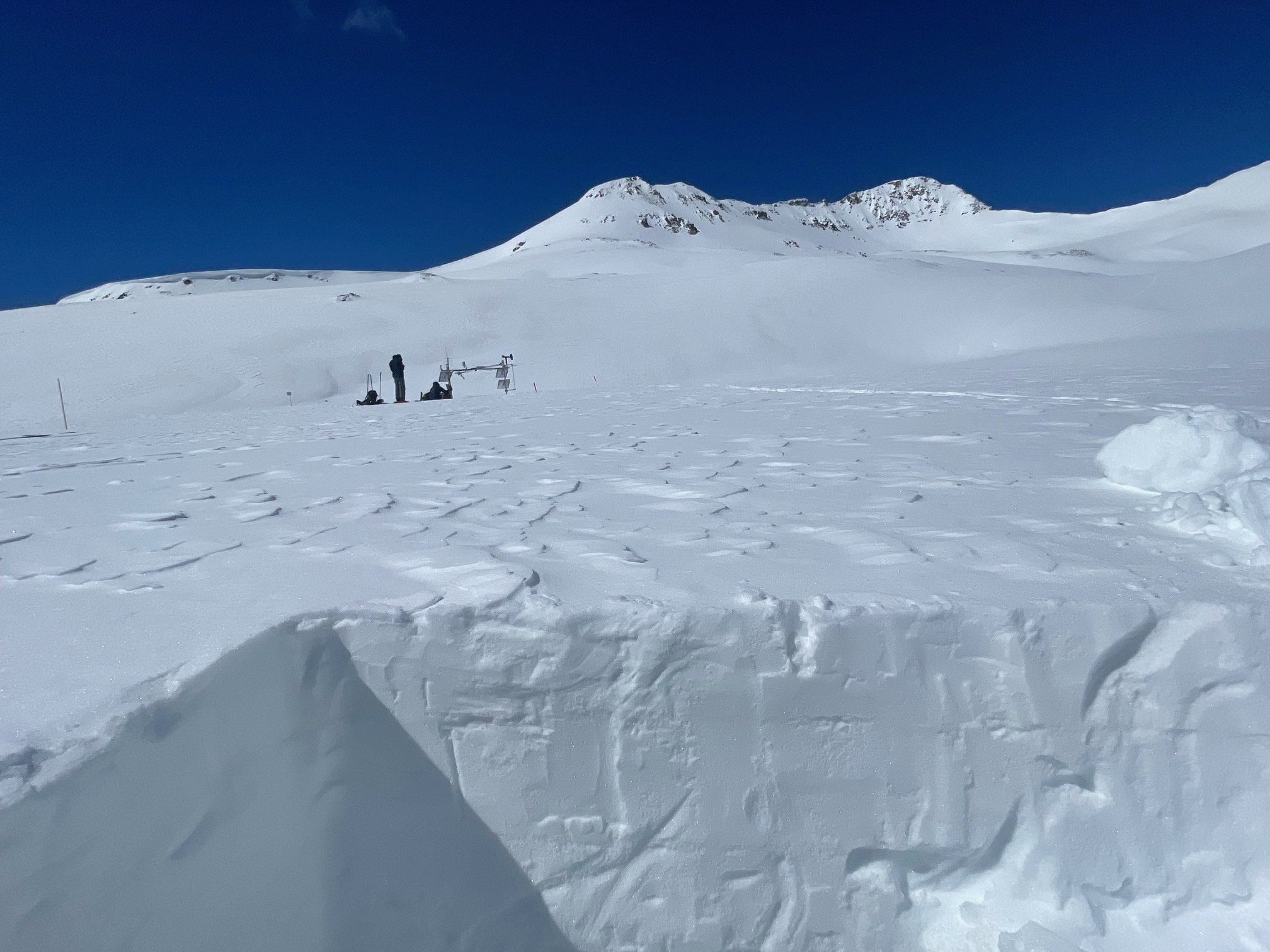
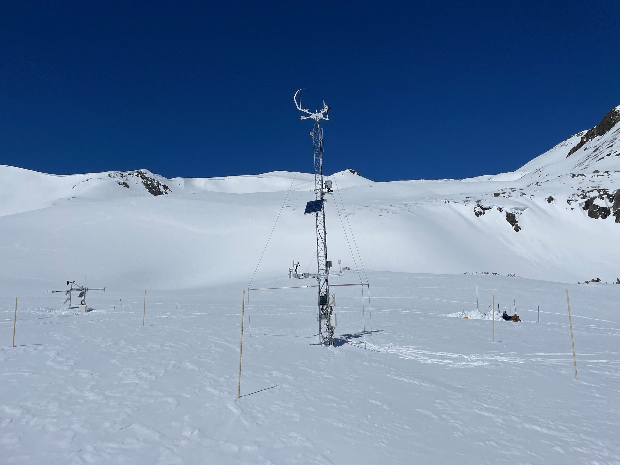
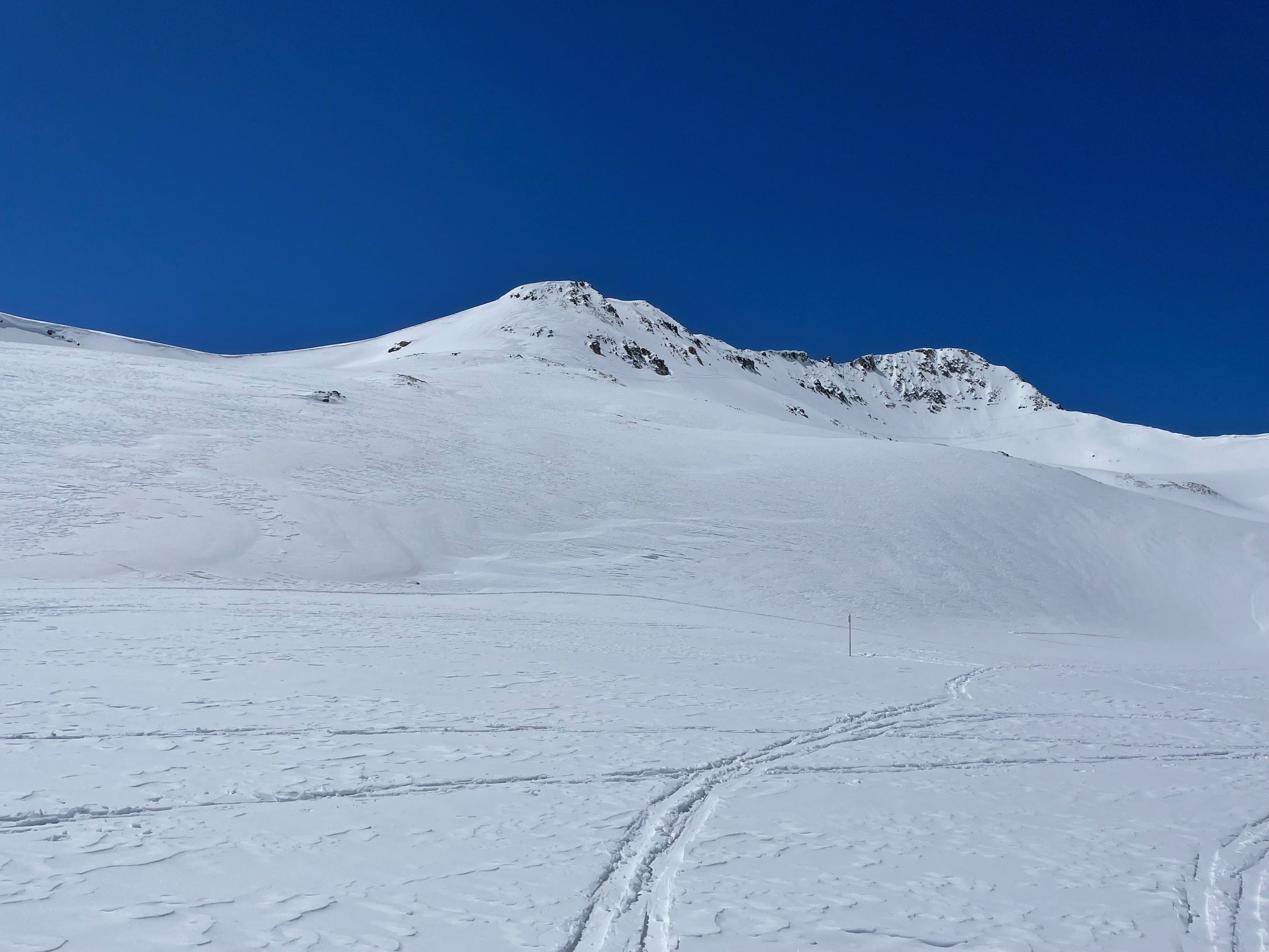
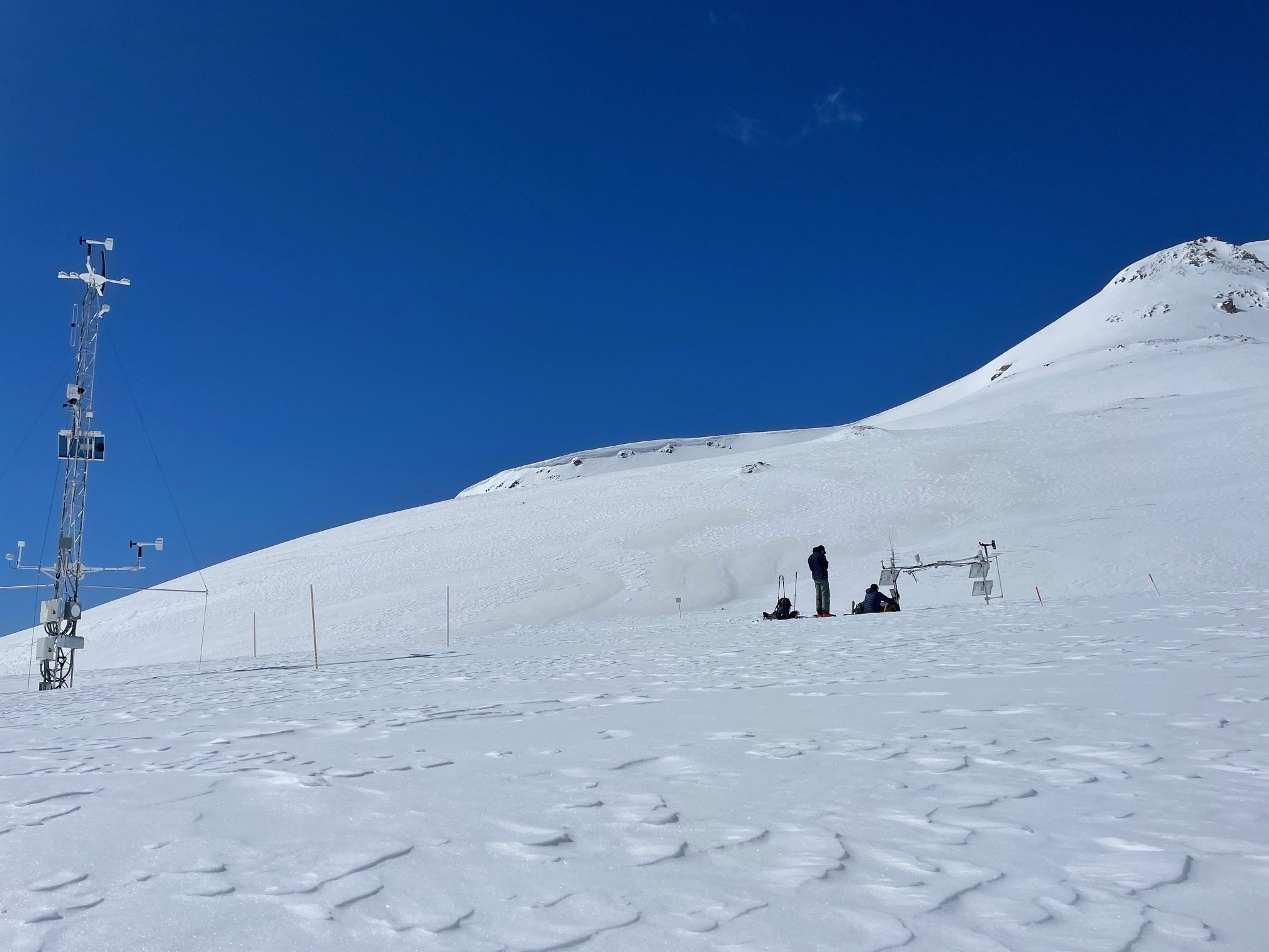
Below: Pictures from Senator Beck Study Plot (12,200’) and the route up.
Below: Satellite imagery of dust event coming into Colorado April 5 and a couple days following.
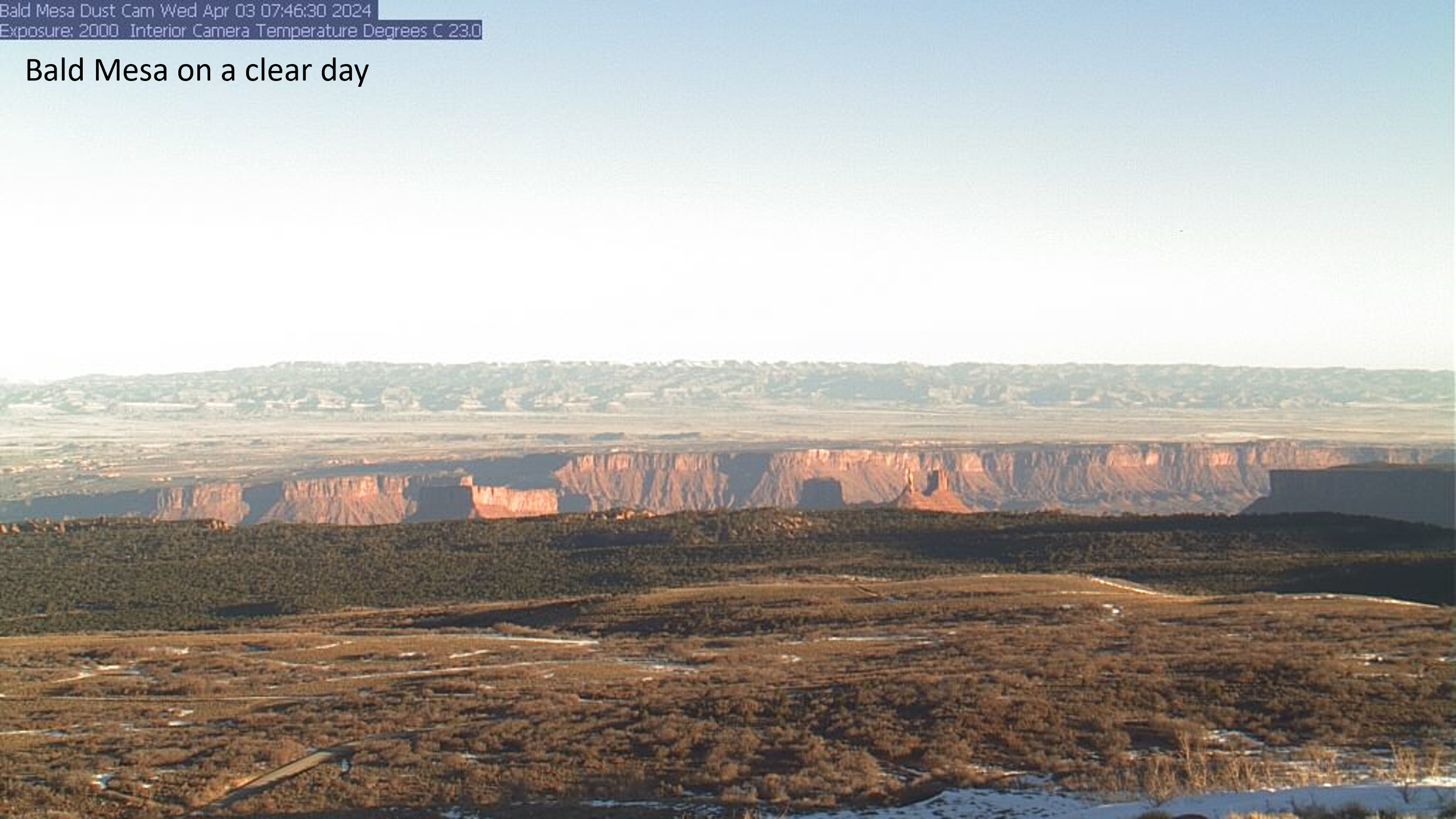
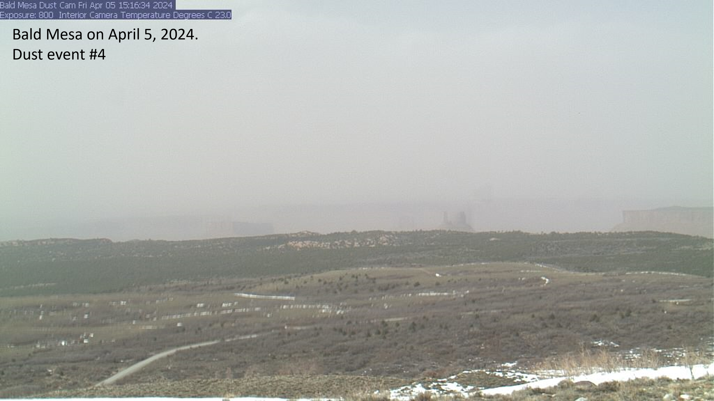
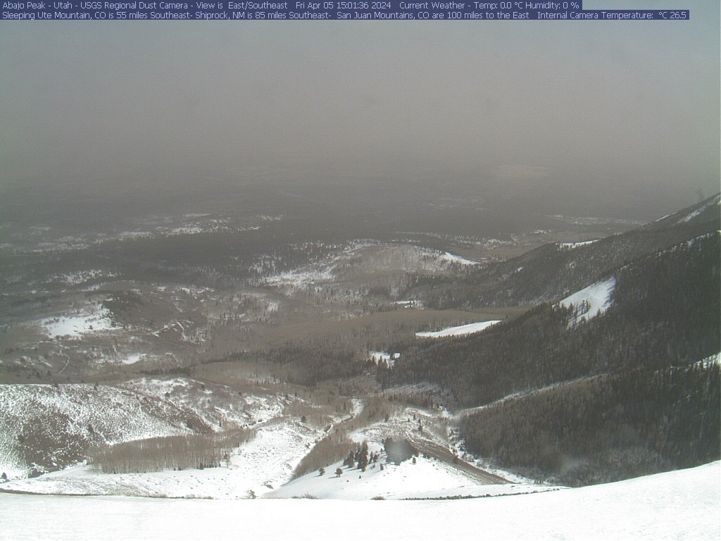
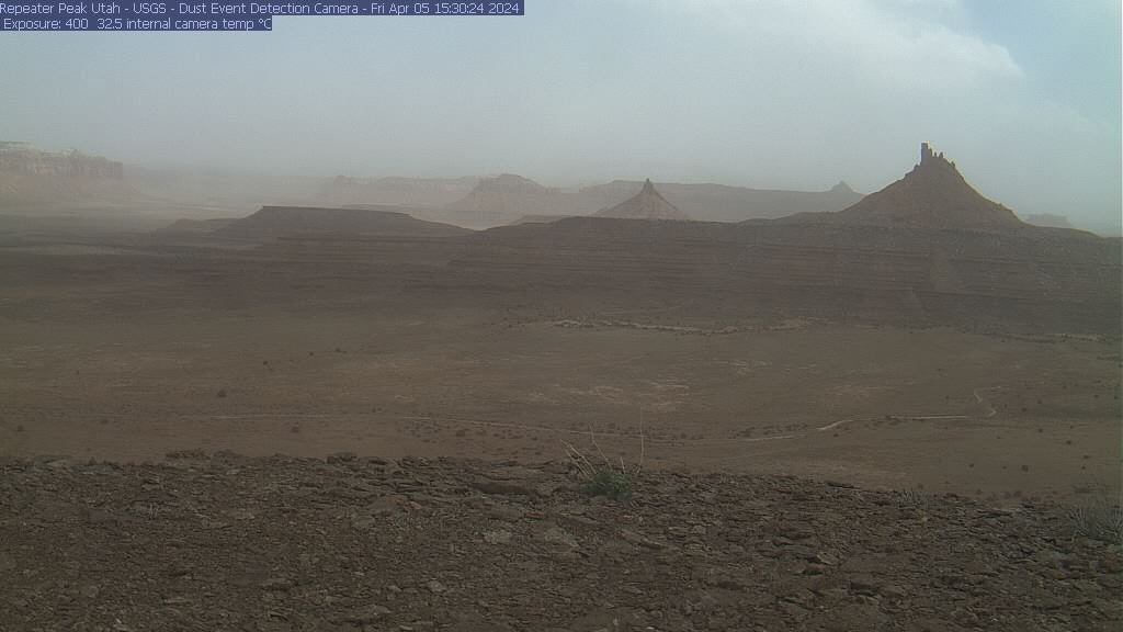
Below: USGS dust cameras capturing the April 5 dustup in the Four Corners region.
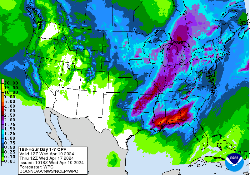
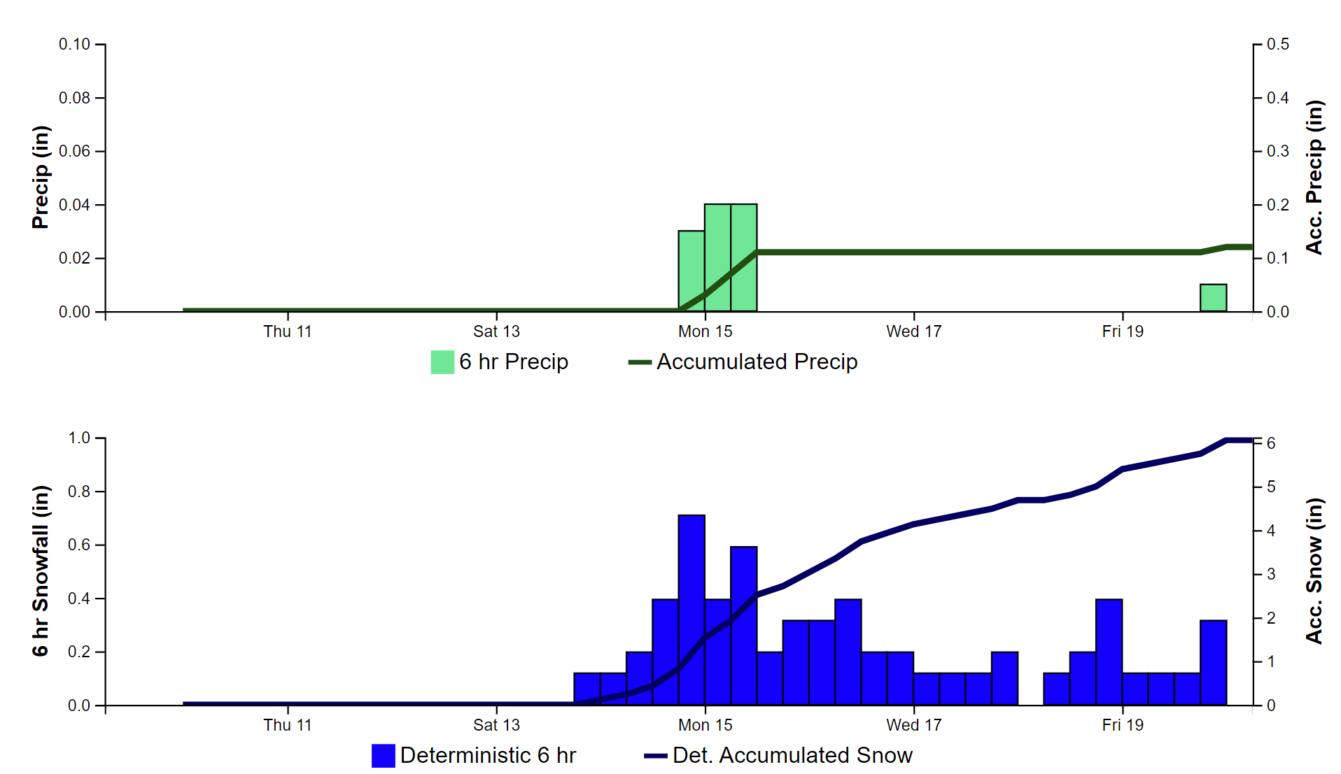
Below: Precip forecast at Red Mt Pass for the next 7 days.
More Soon