CODOS UPDATE MAy 23: Still Lot’s of snow to melt, Front Range Obs
Greetings from Silverton,
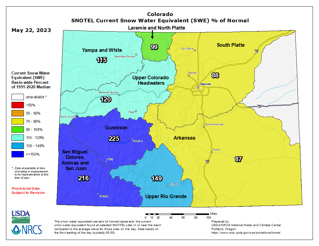
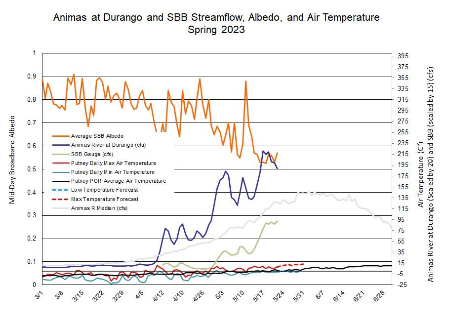
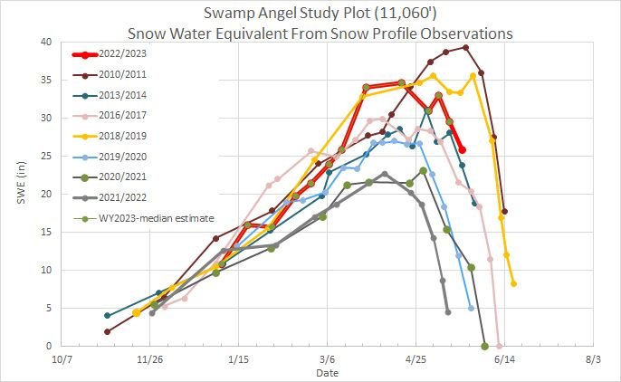
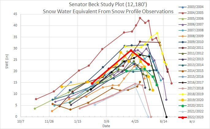
It looks like the wet period we have been experiencing is expected to tapper off a bit this week with a gradual warm-up. The hydrograph this spring now shows two distinct storm periods where flows stayed in a relatively tight range as snow/overcast conditions subdued snowmelt. With the forecast calling for drier and sunnier conditions, with significant dust at the surface, and with still a lot of snow to melt in the high country, we should expect increasing streamflows. At our Senator Beck Study Plot (12,200’) there is still 23” SWE, this time last year there was 0. At Swamp Angel (11,000’) there is 25.8” SWE, this time last year there was 0 as well. Just in the last few days some SNOTEL’s have reported a loss of ~1” SWE/day.
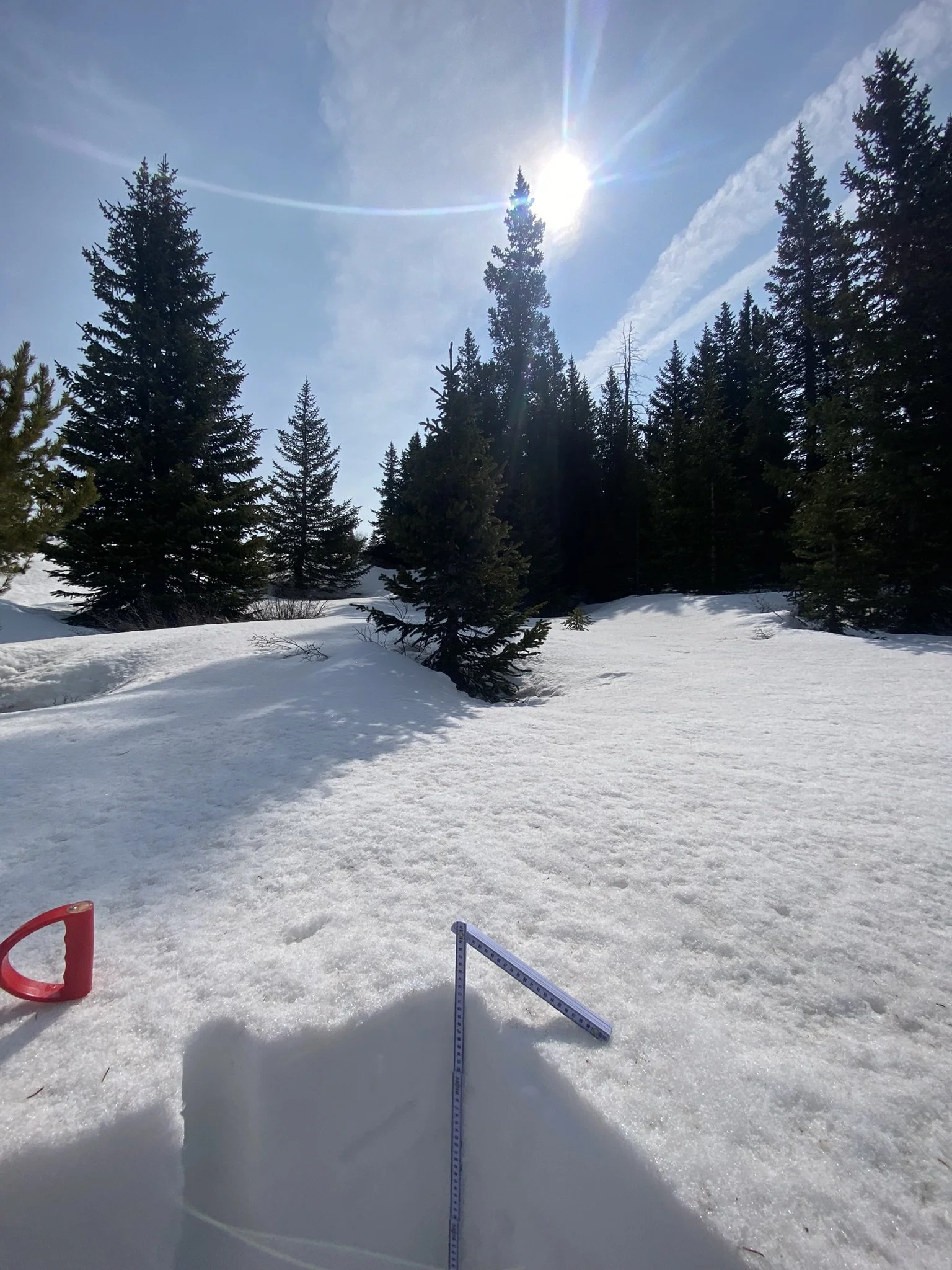
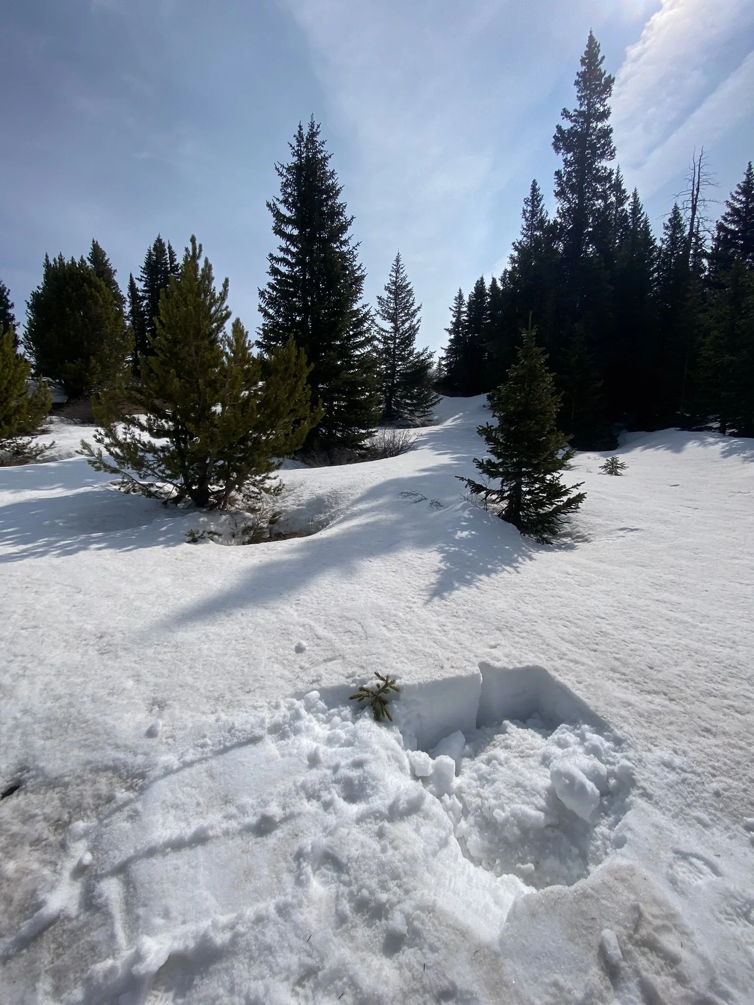
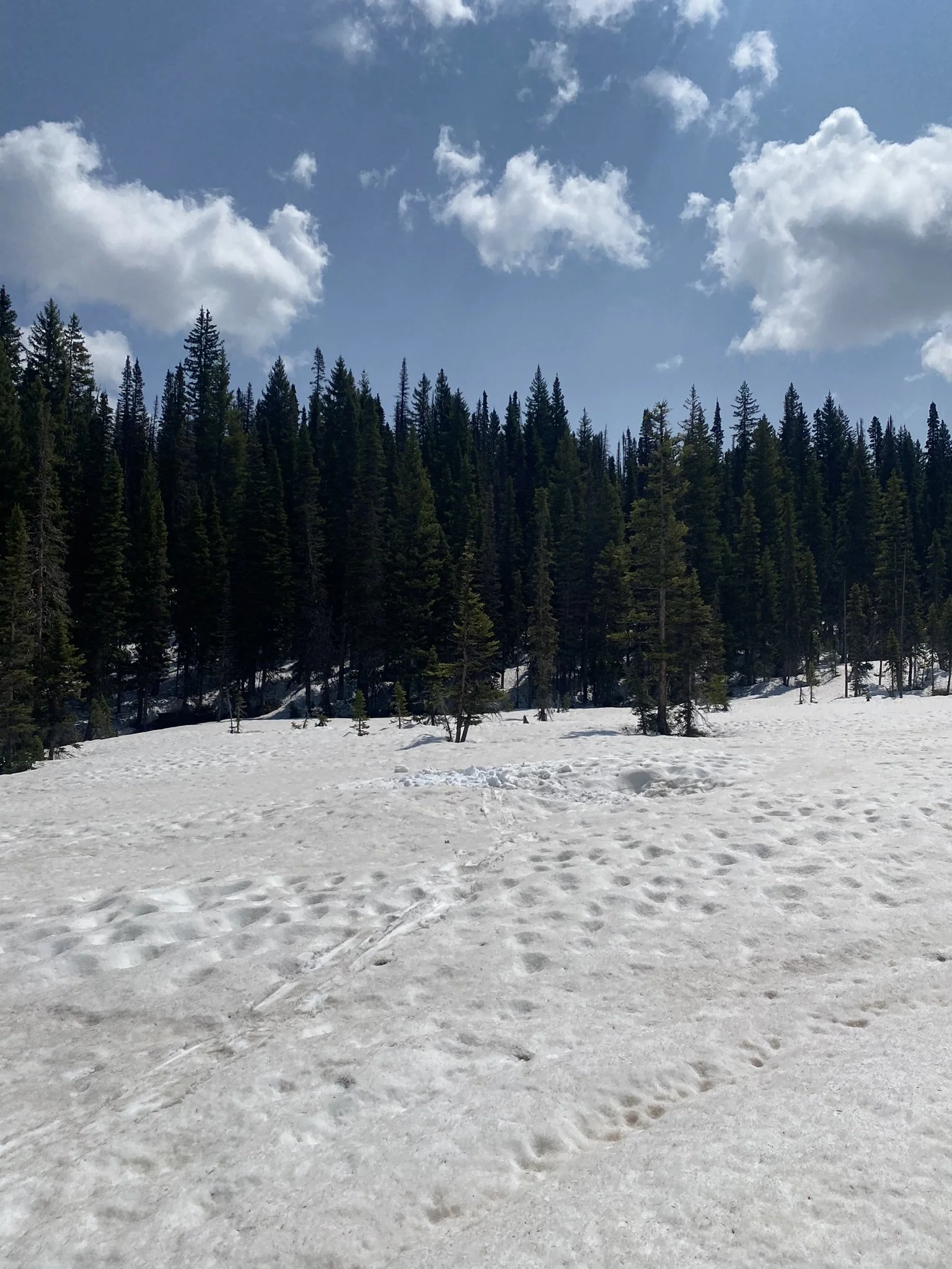
The CODOS team visited the Front Range and Rabbit Ears sample sites yesterday (May 22) and today (May 23). All sites have significant dust at surface (although is still considered “average” going by our general categorization). Please see observations are below.
More Soon,
Jeff Derry
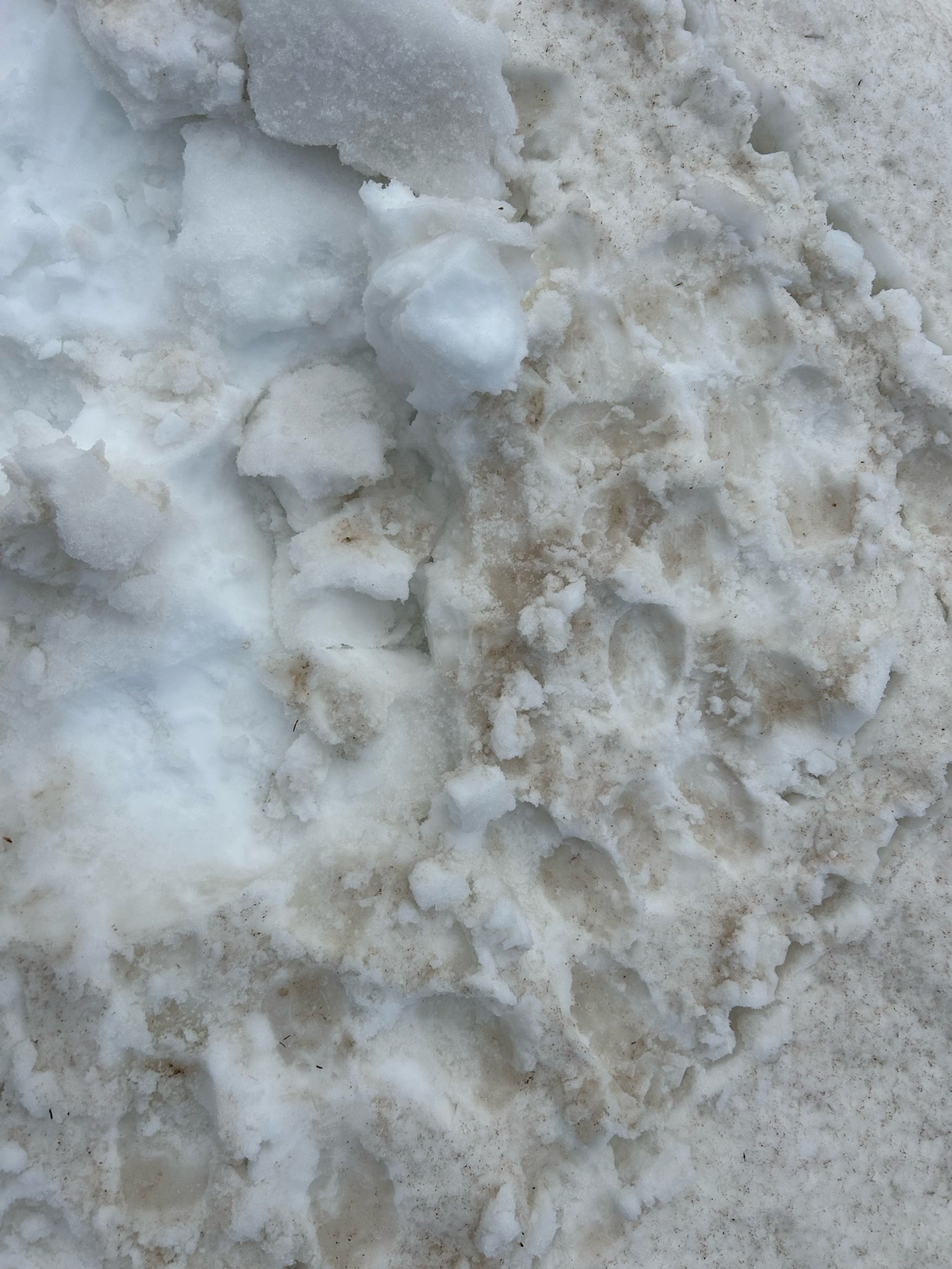
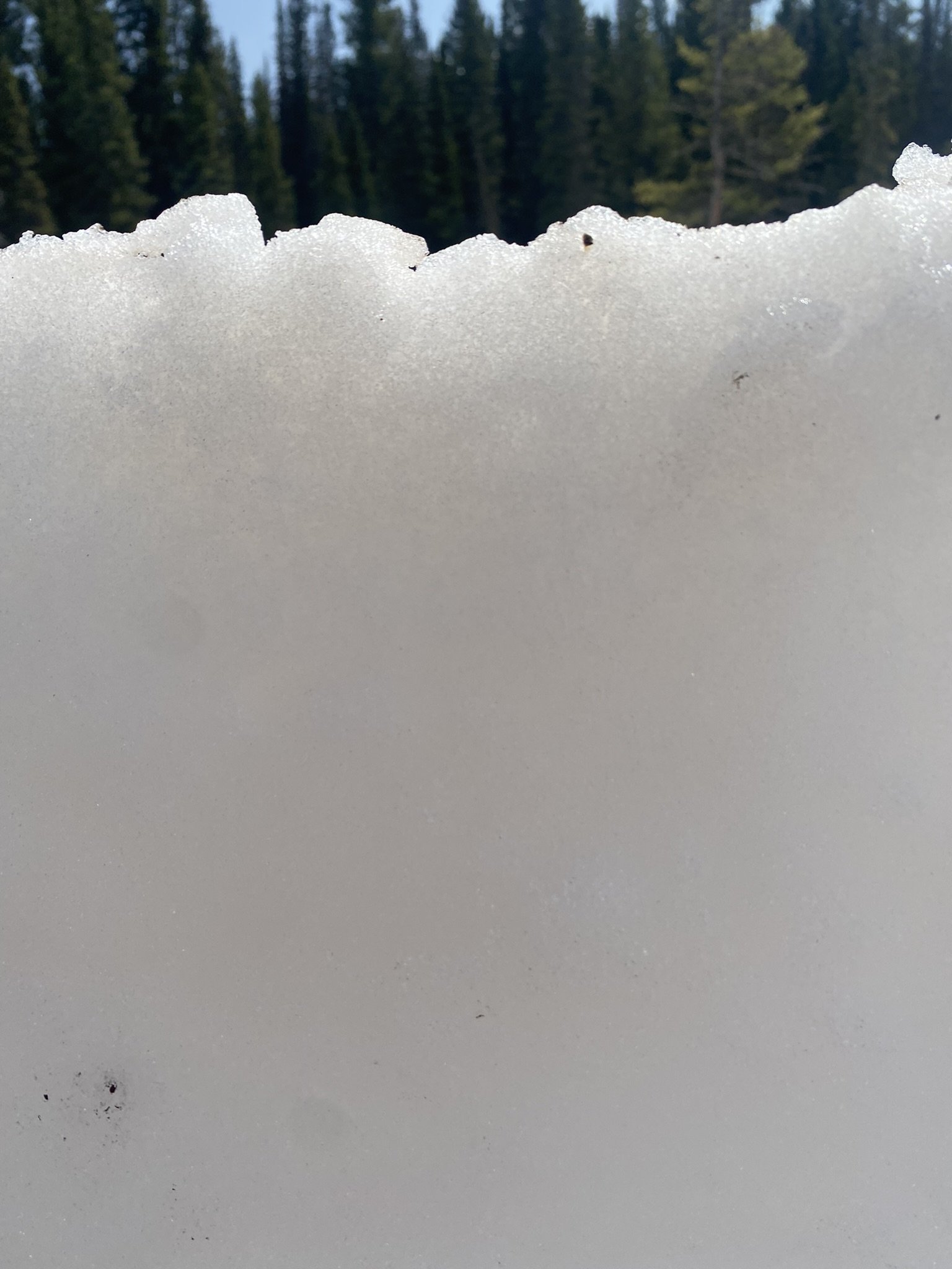
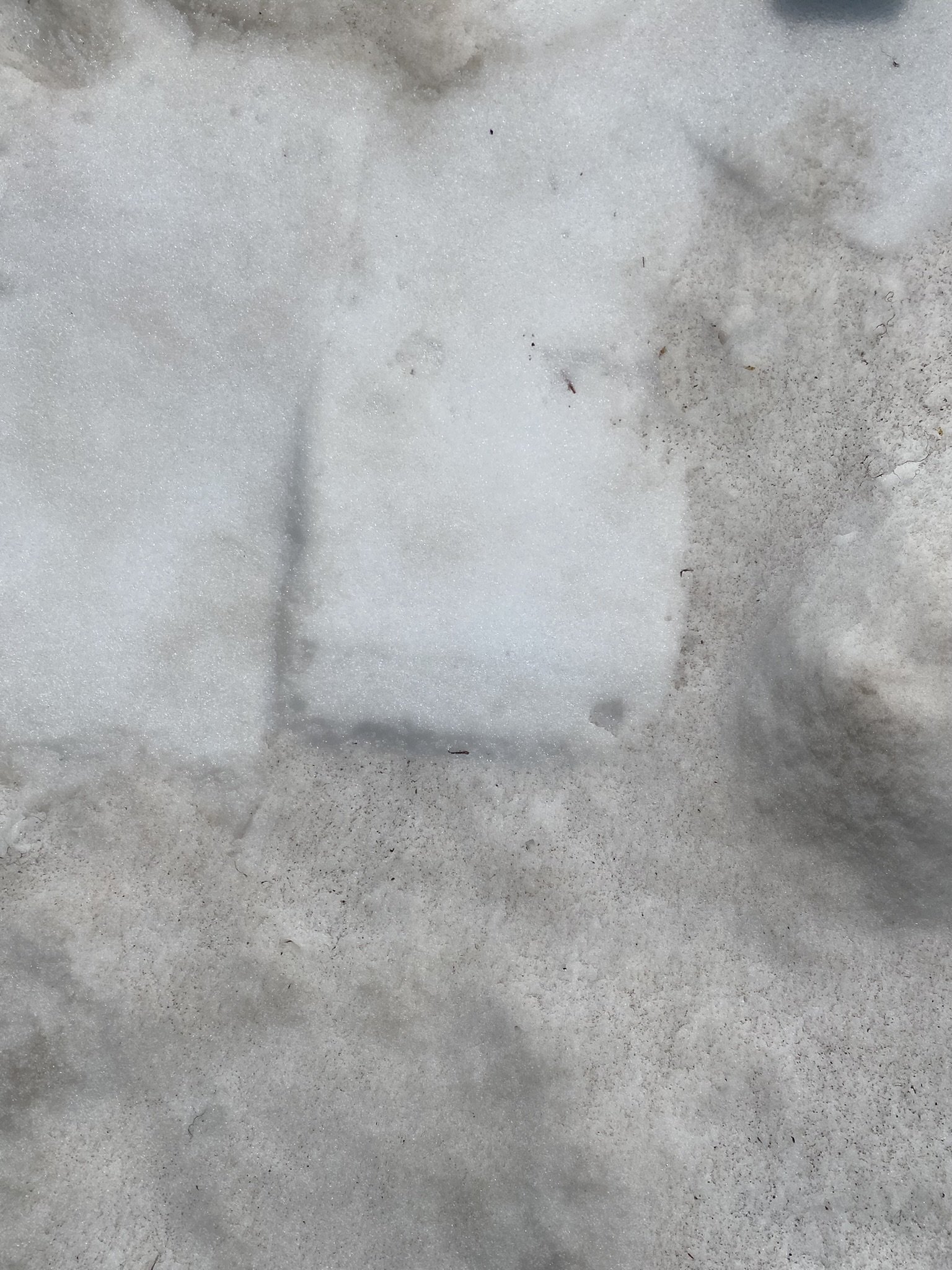
Below: With significant dust fully exposed albedo will only degrade and streamflows increase. Nighttime air temperatures are expected to hang around the freezing point or warmer, so it appears we will see no hard freezes at night to slow snowpack melting, going into the last week of May this is no surprise, but it has been nice enjoying the cooler than average spring these last couple months.
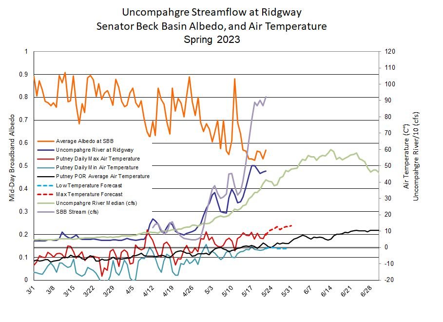
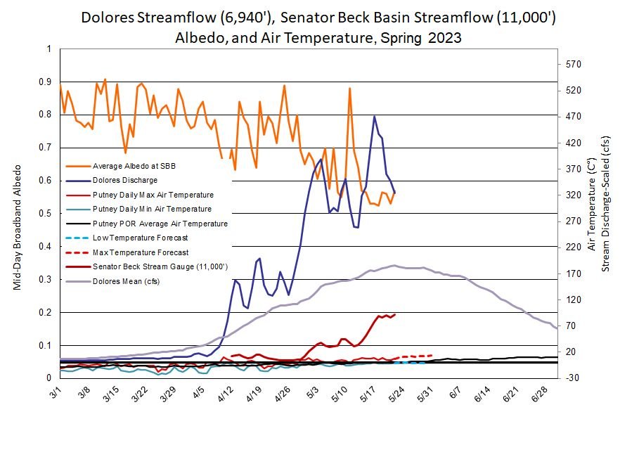
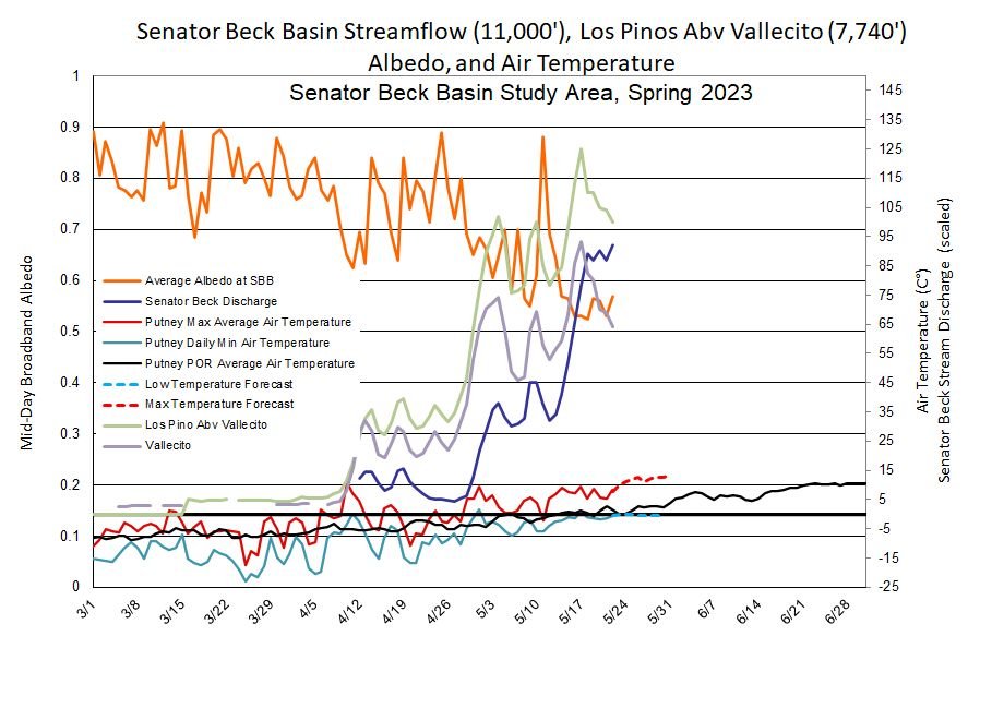
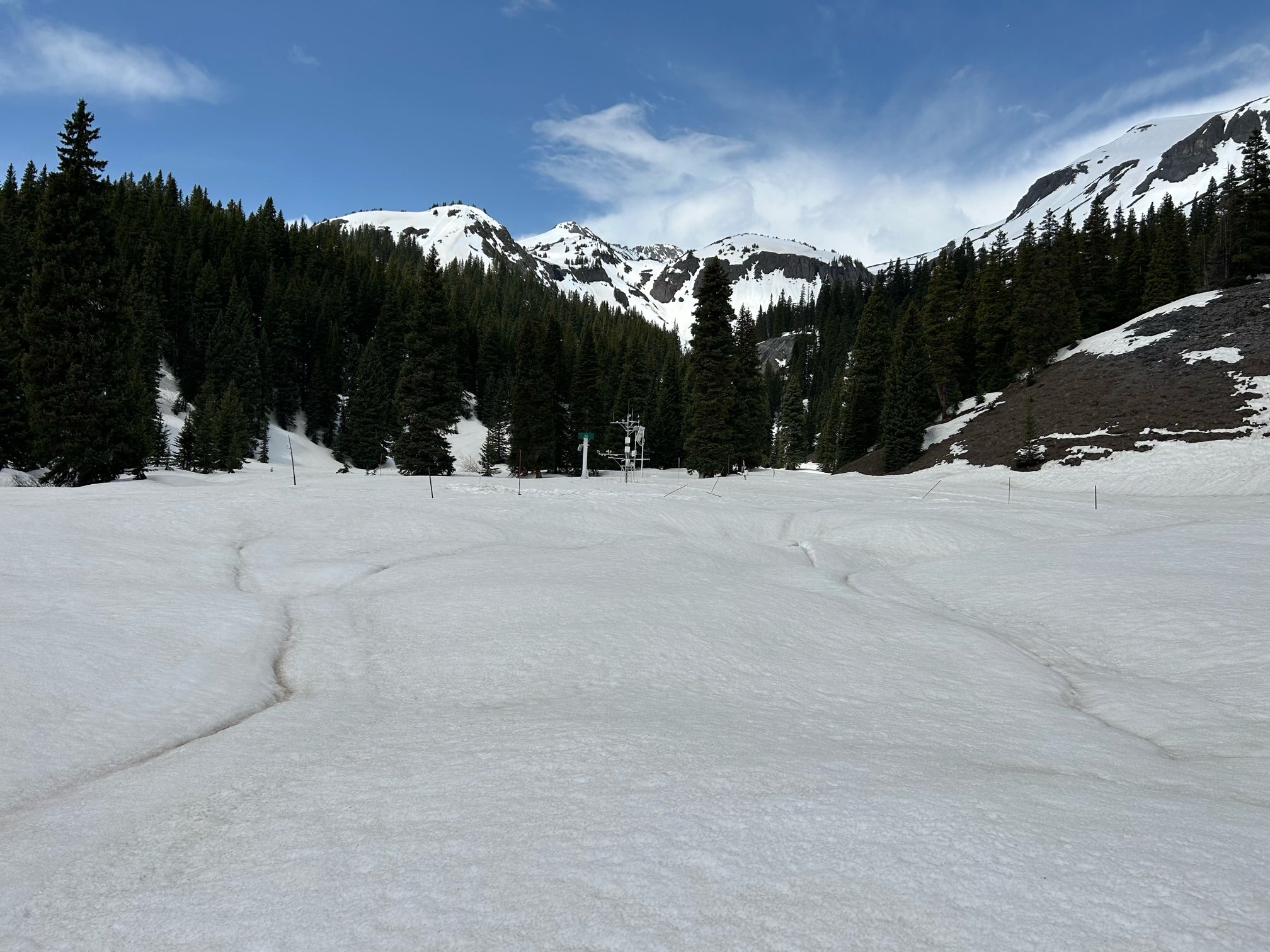
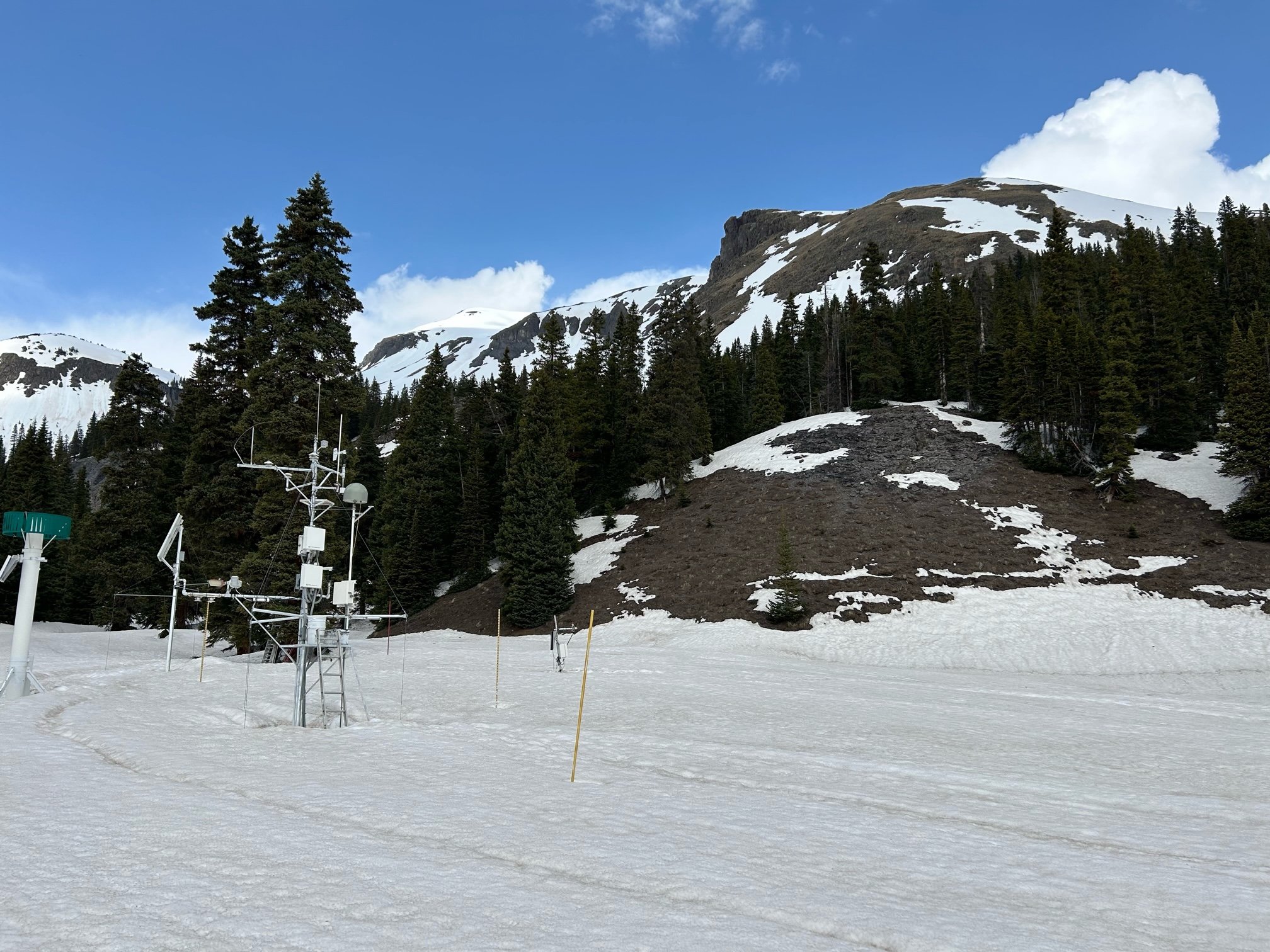
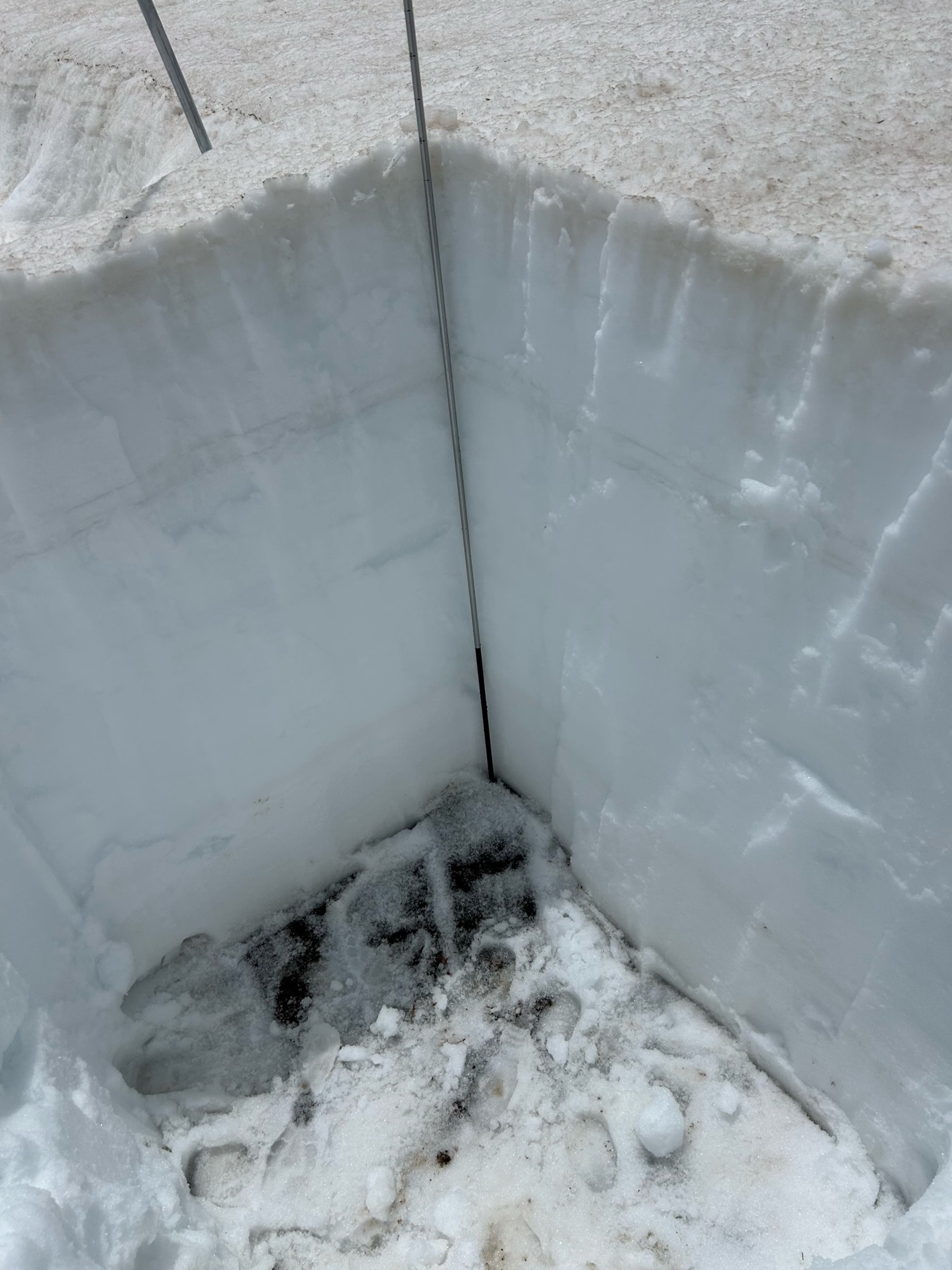
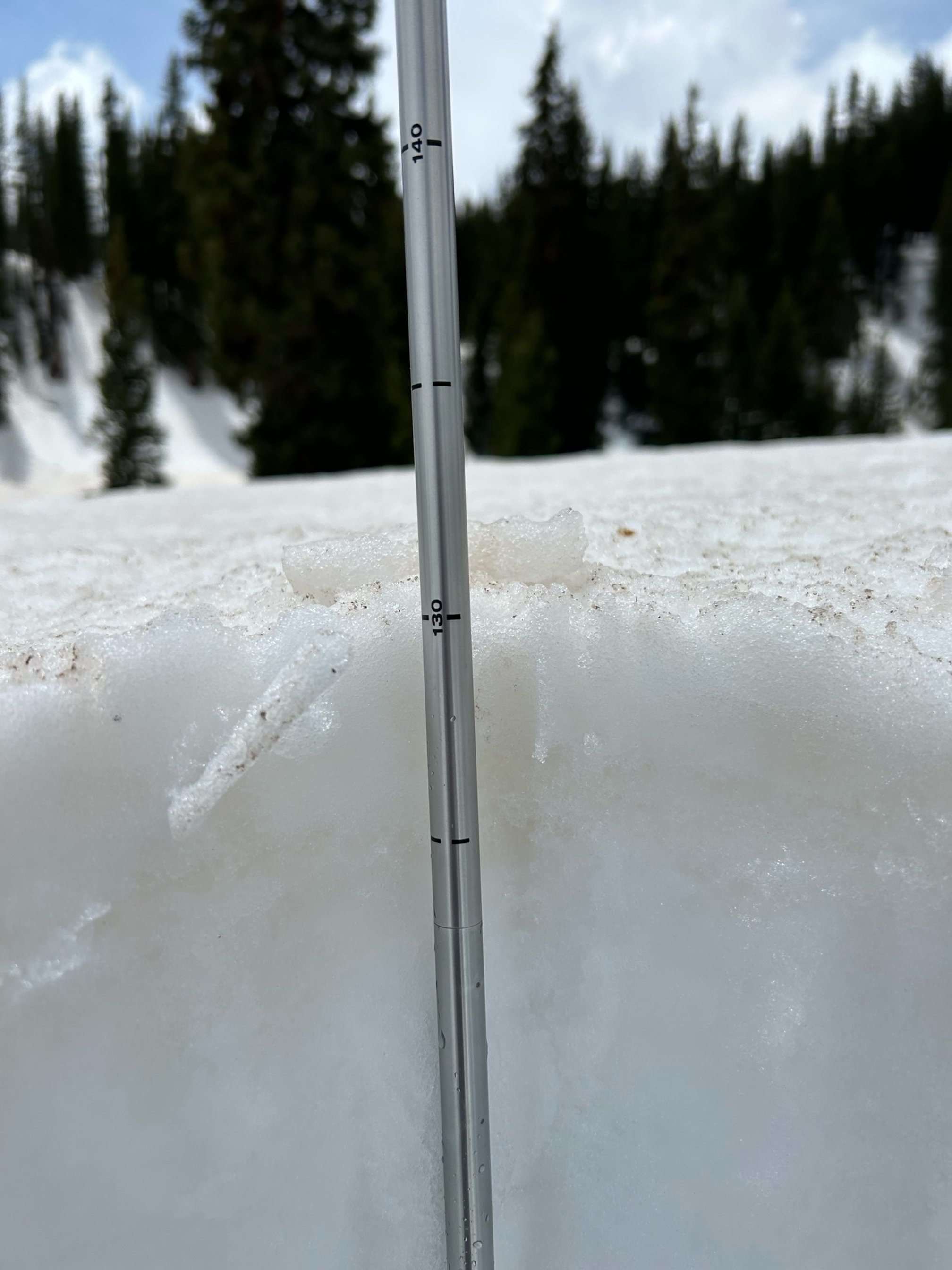
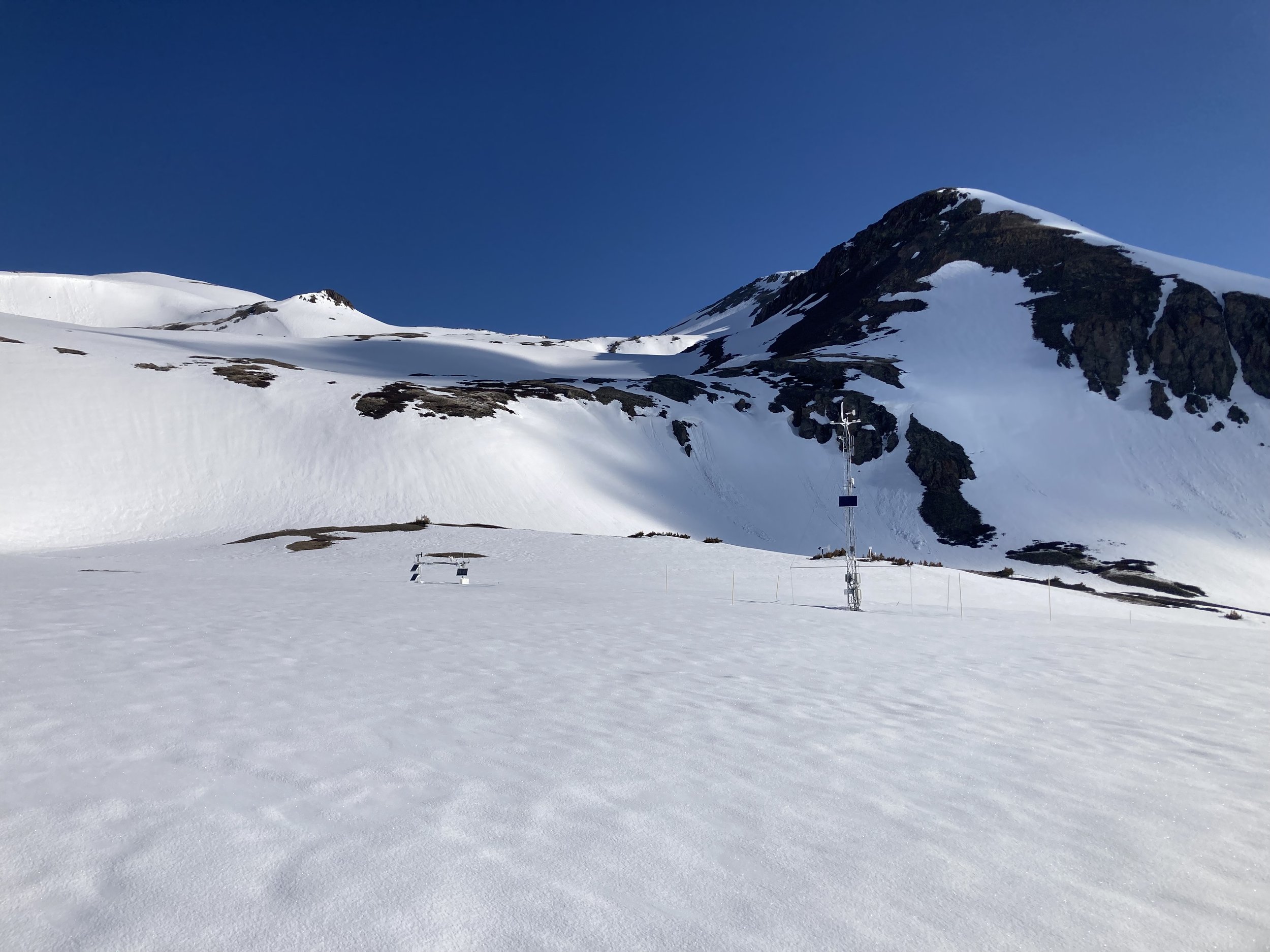
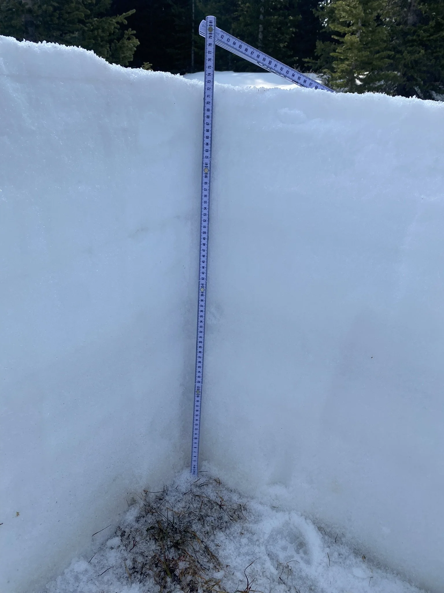
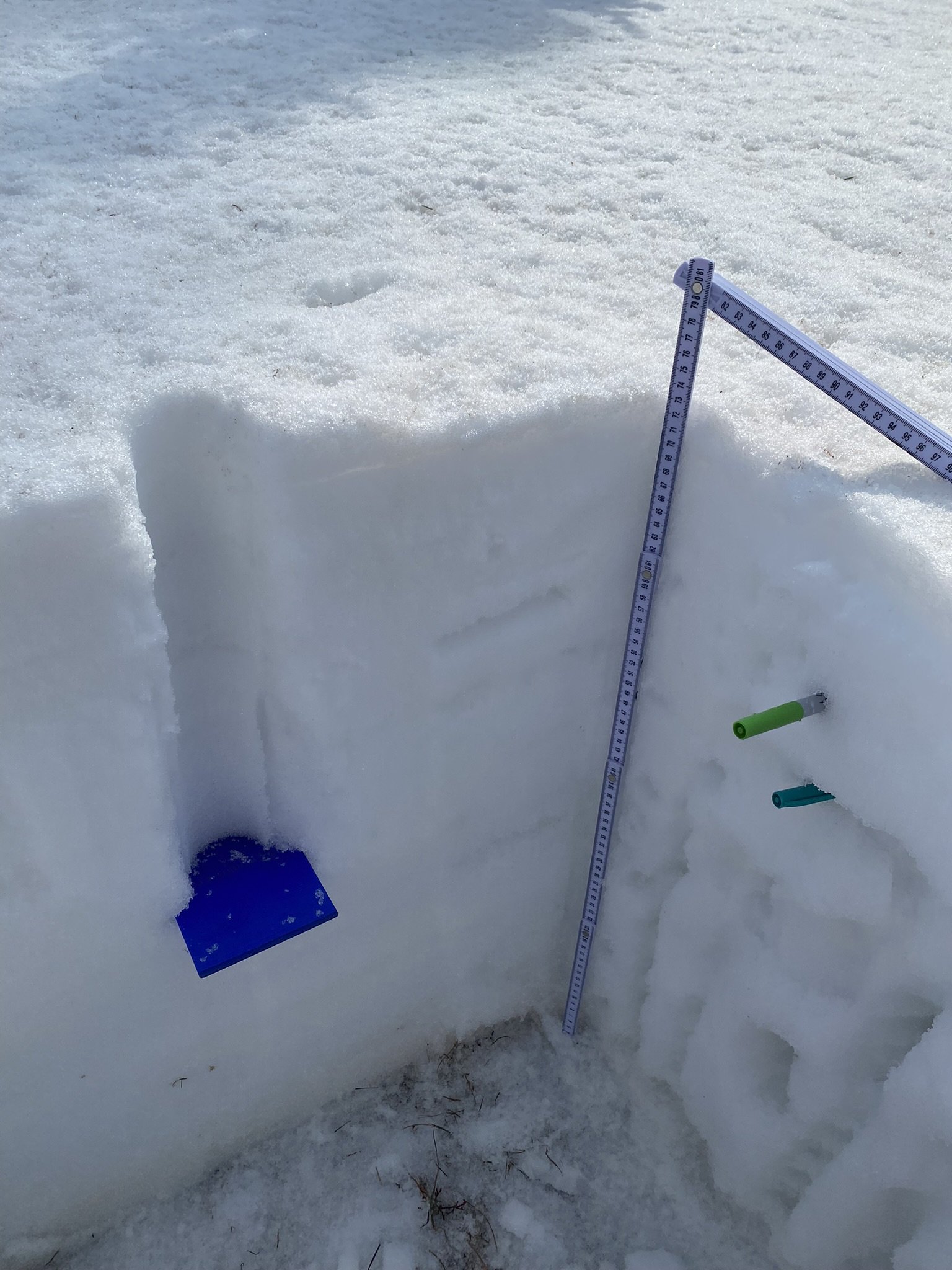
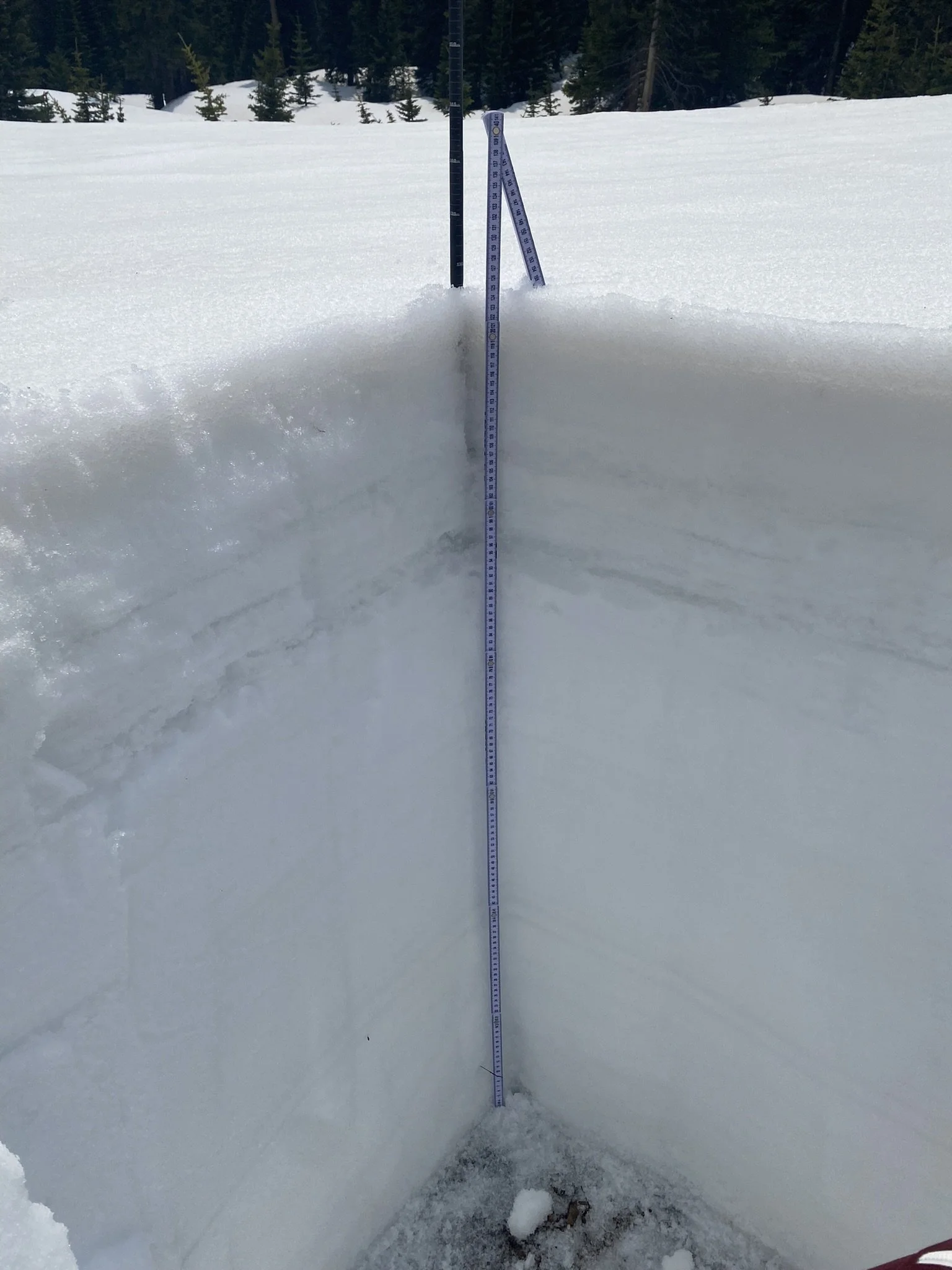
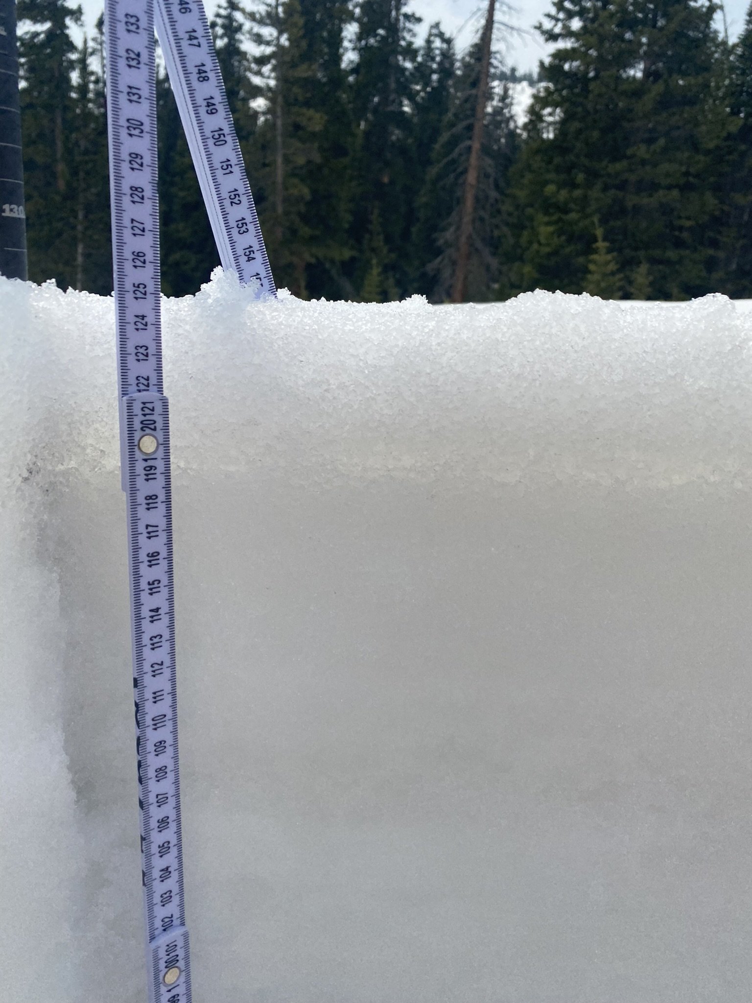
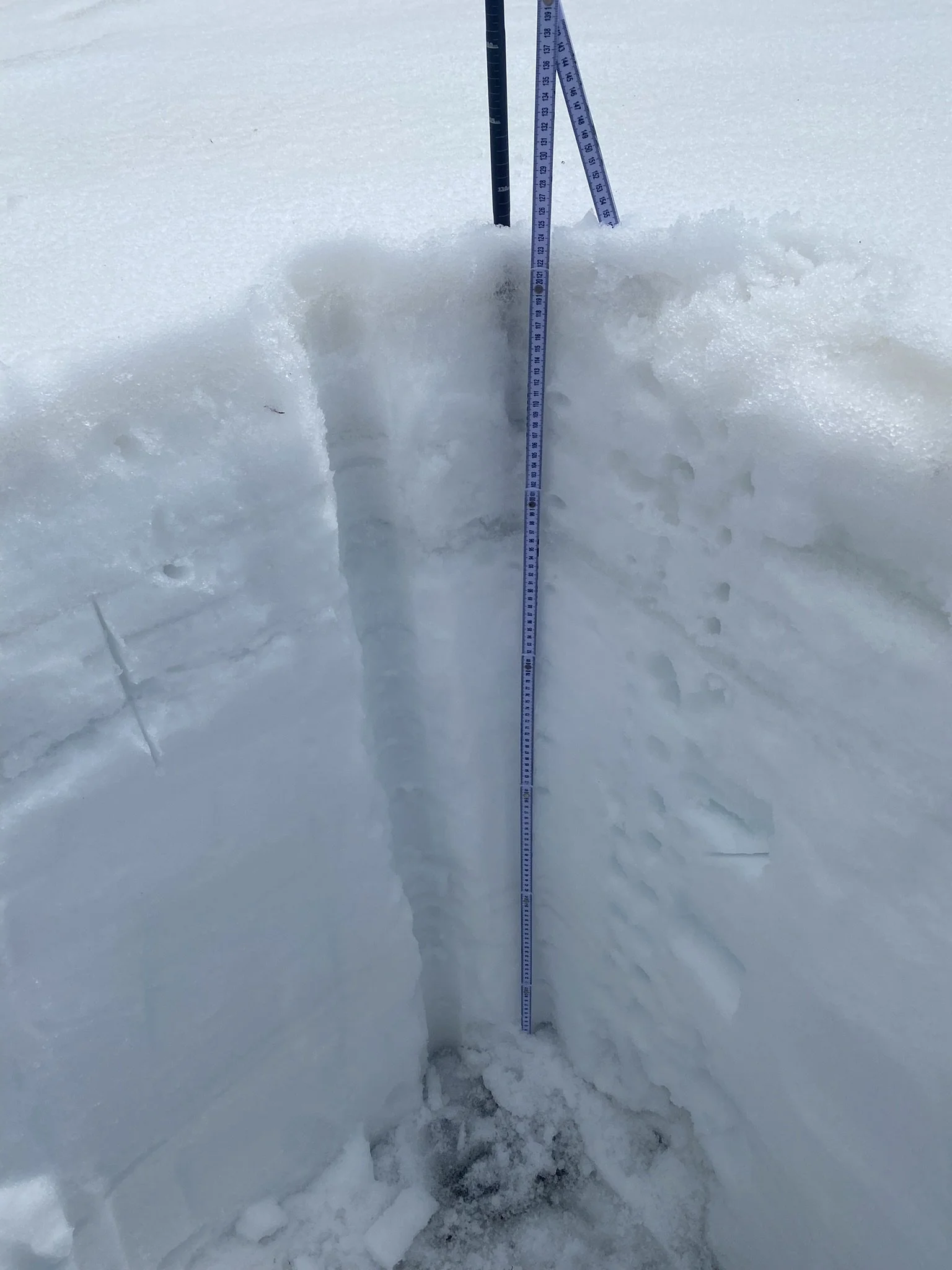
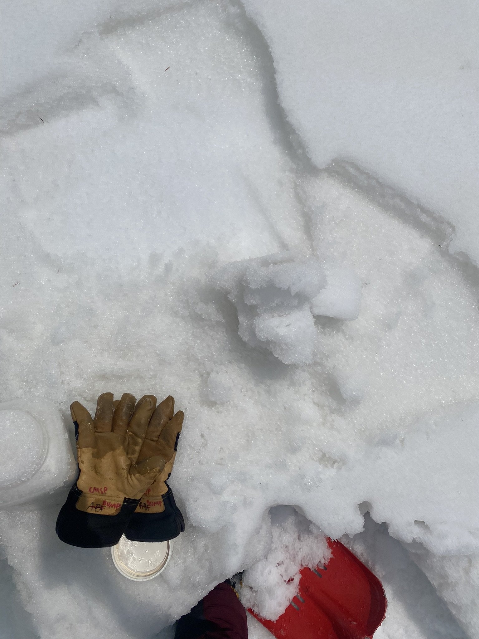
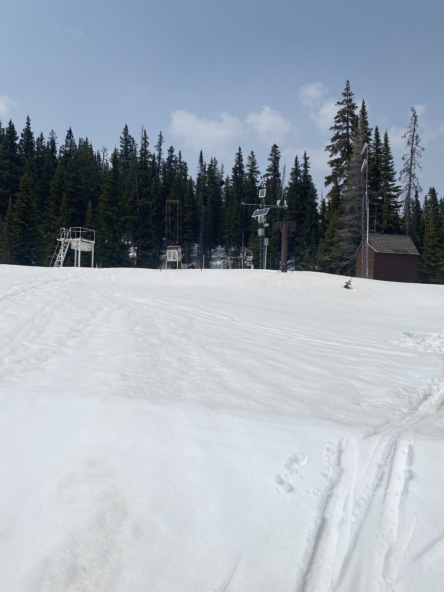
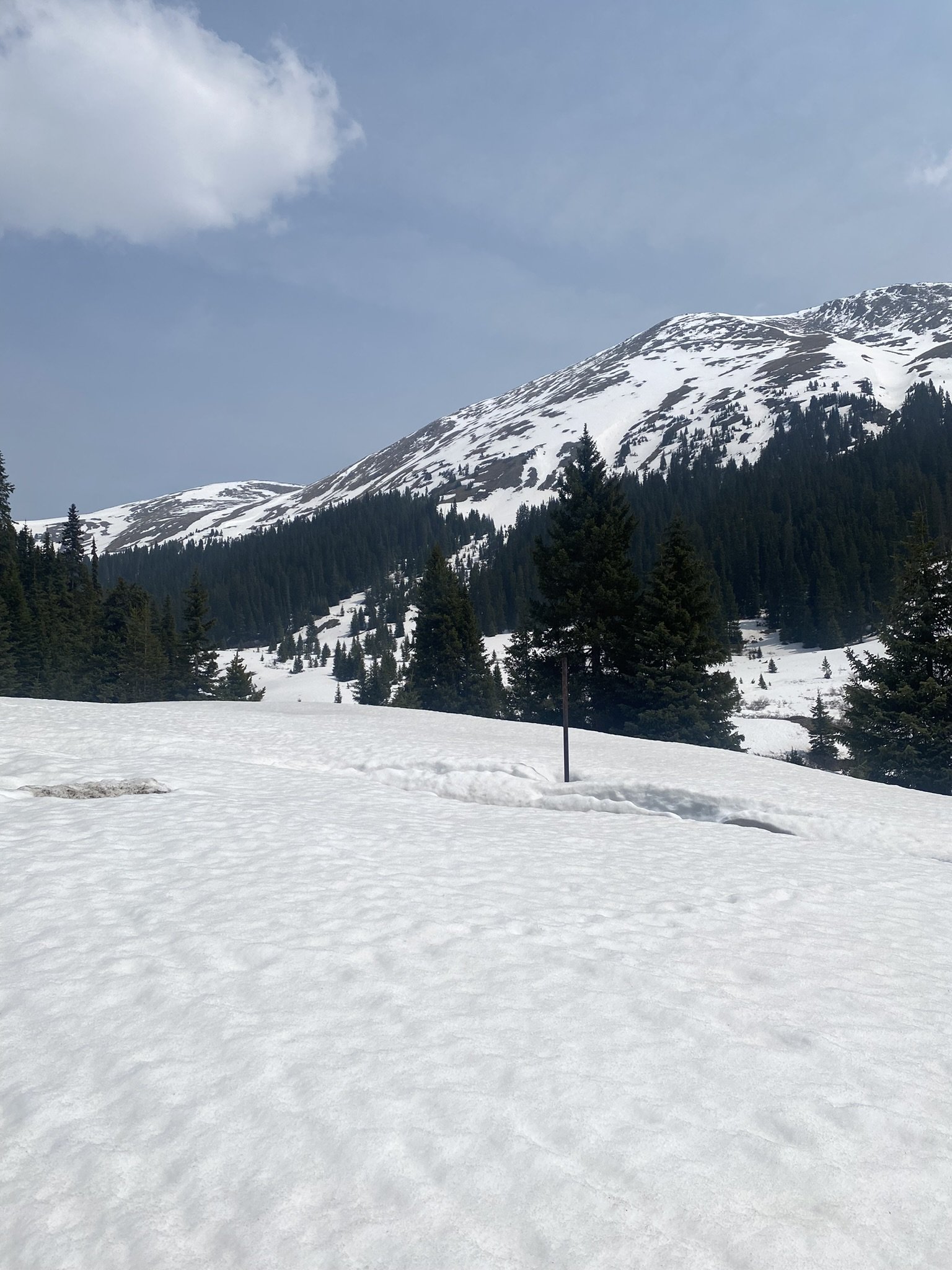
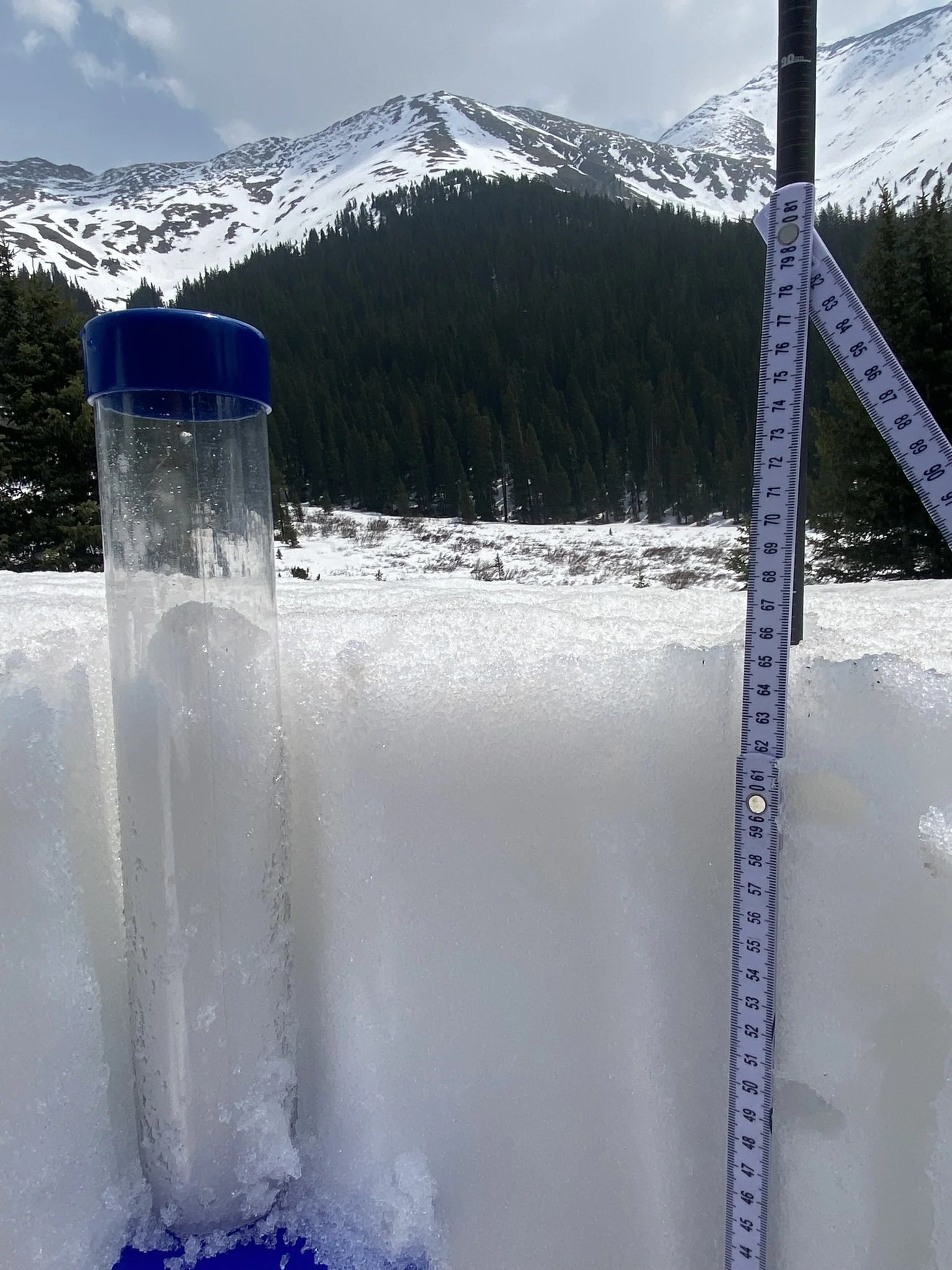
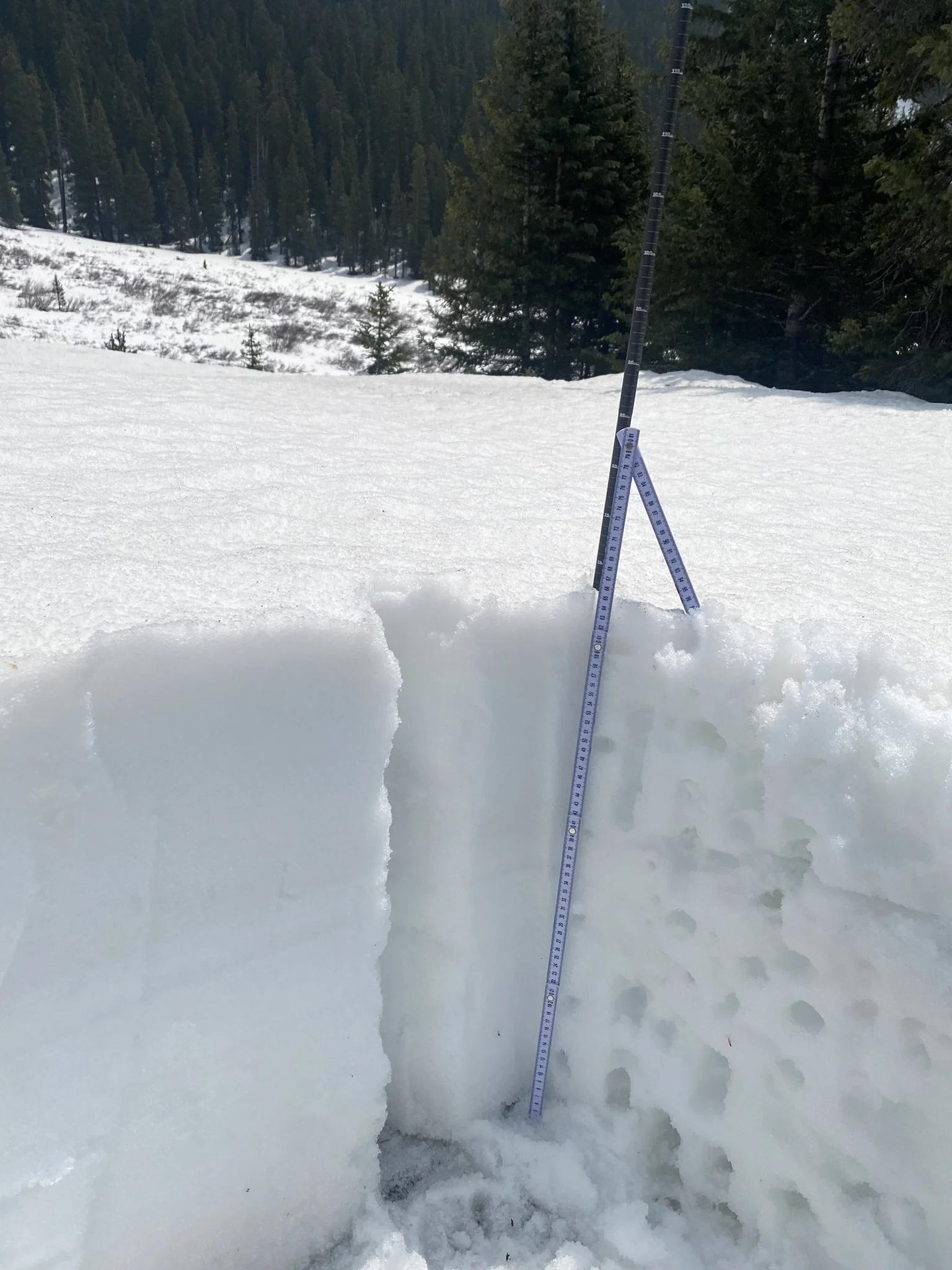
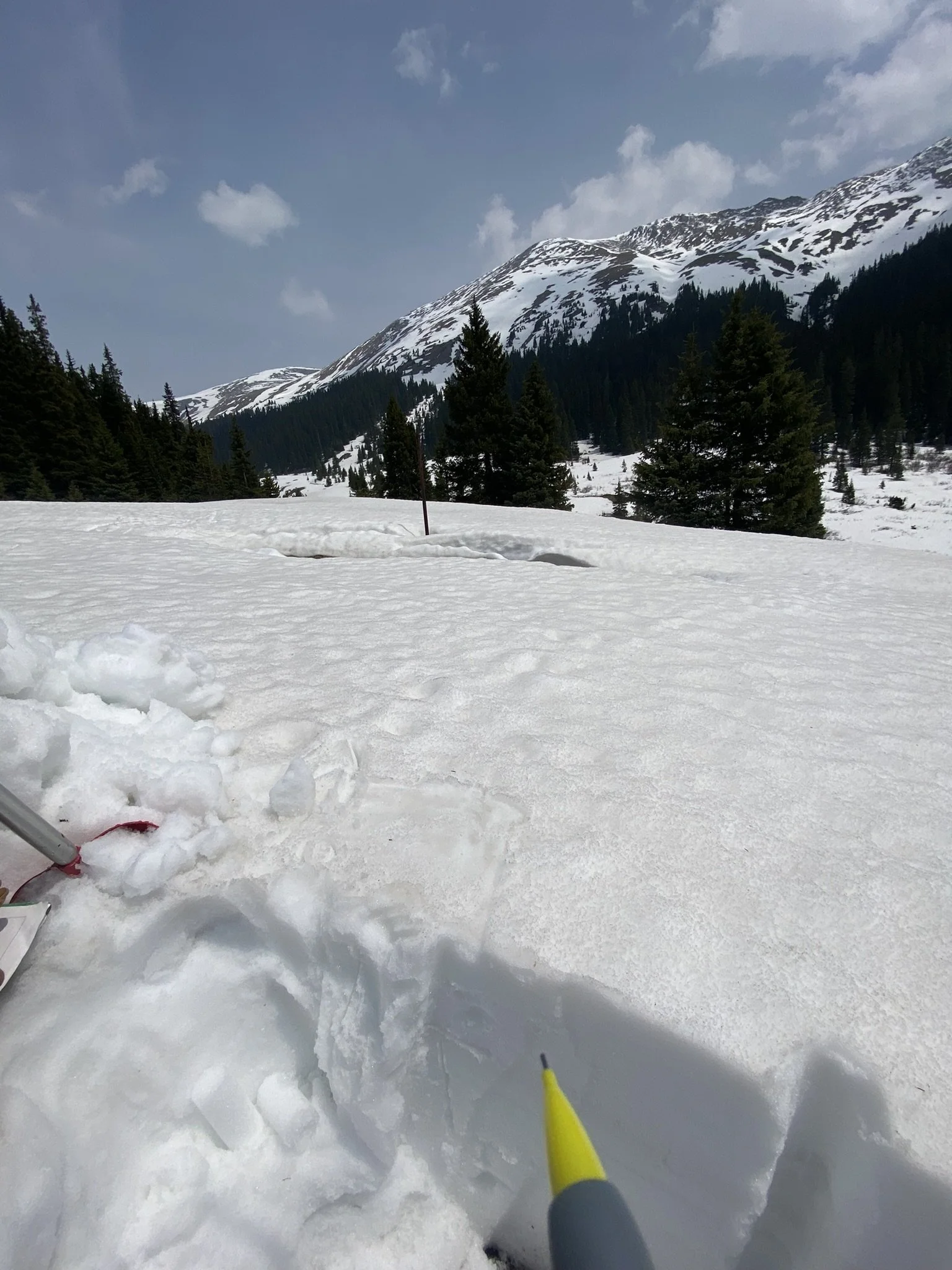
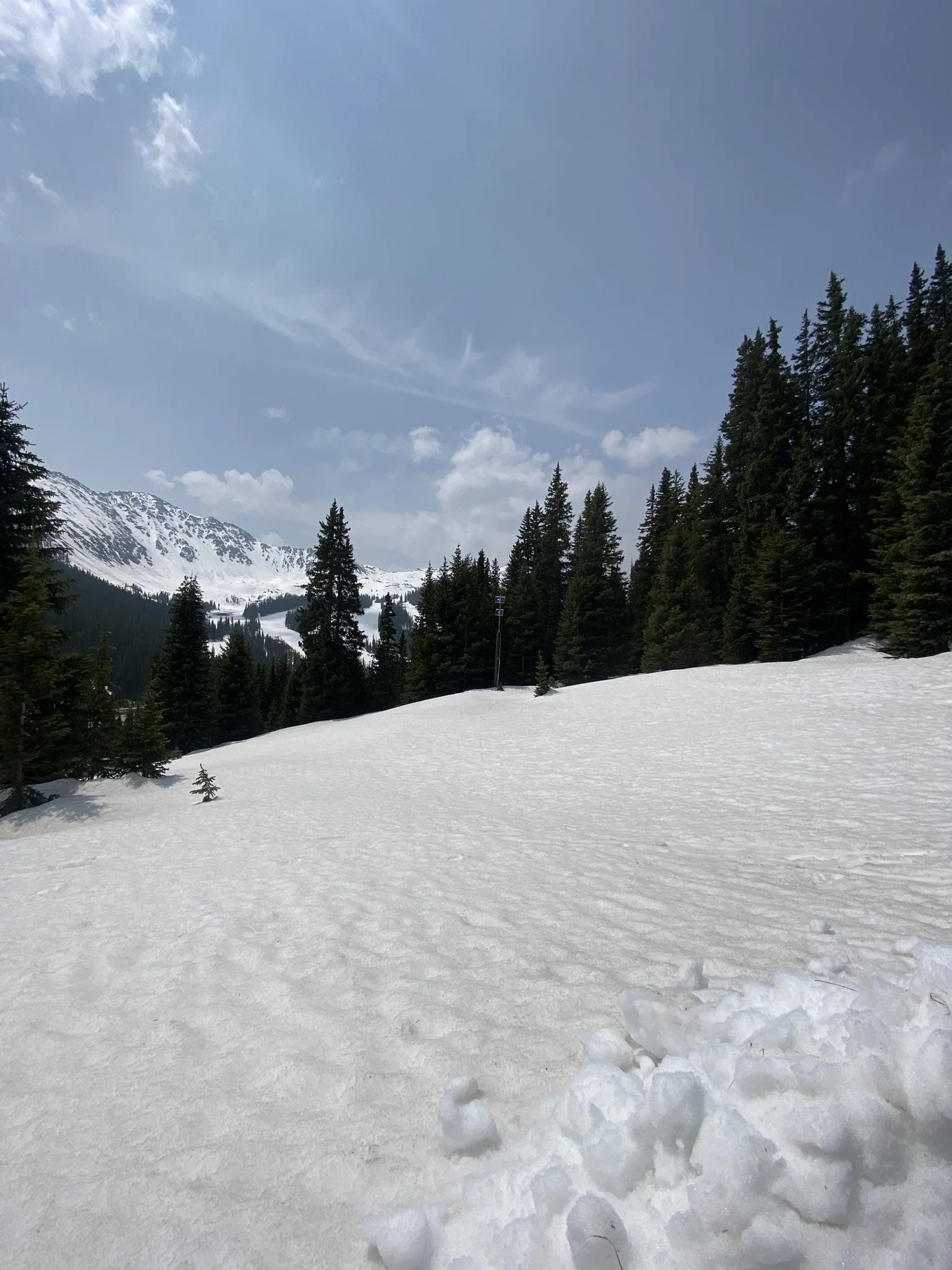
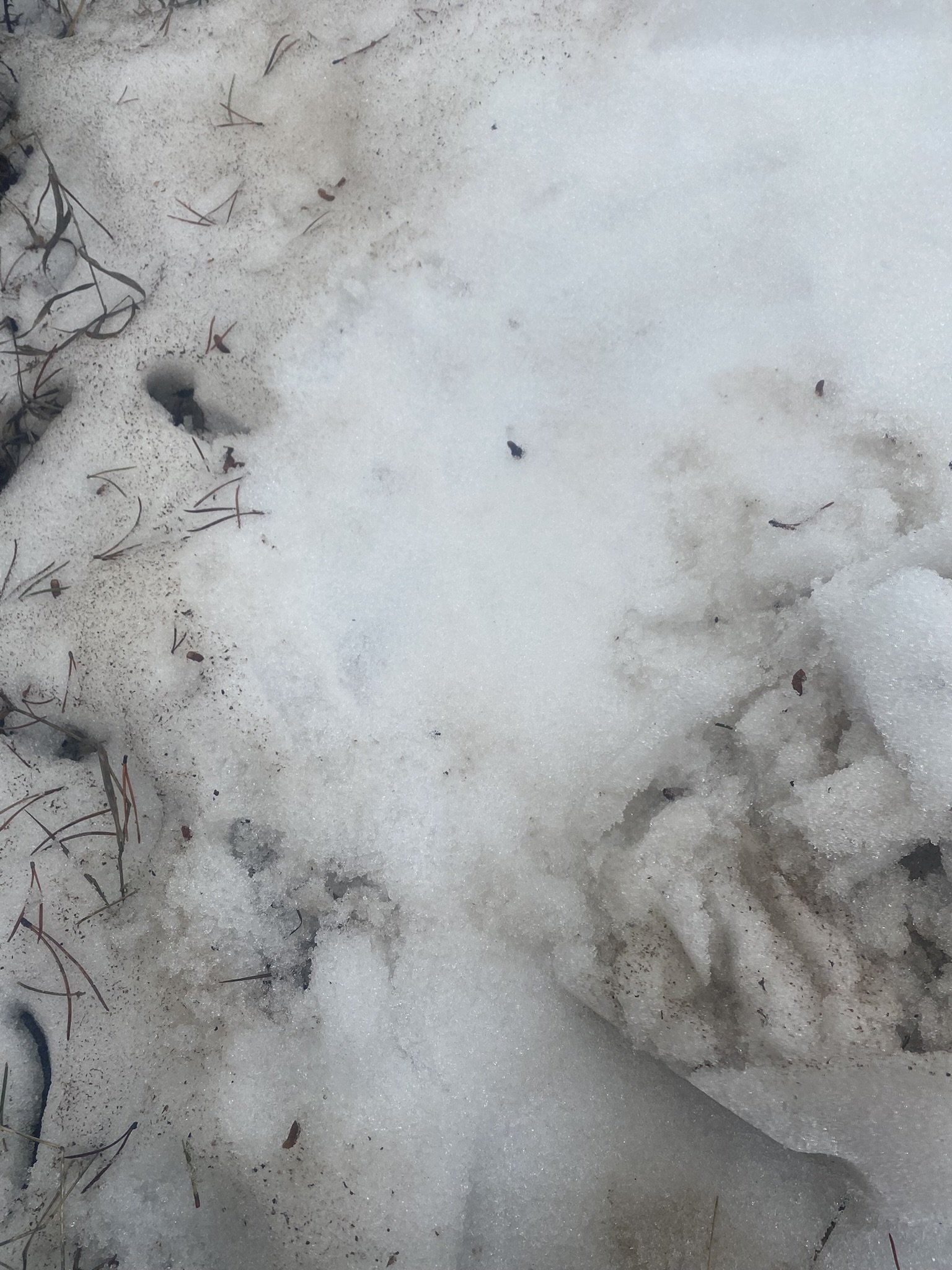
Senator Beck Basin: Plots below show current SWE conditions at Swamp Angel (11,000’) and Senator Beck Study site (12,200’). Dust is at the surface and, now being fully exposed, significant. Still a lot of snow above treeline and around the 11,000’ elevation zone.

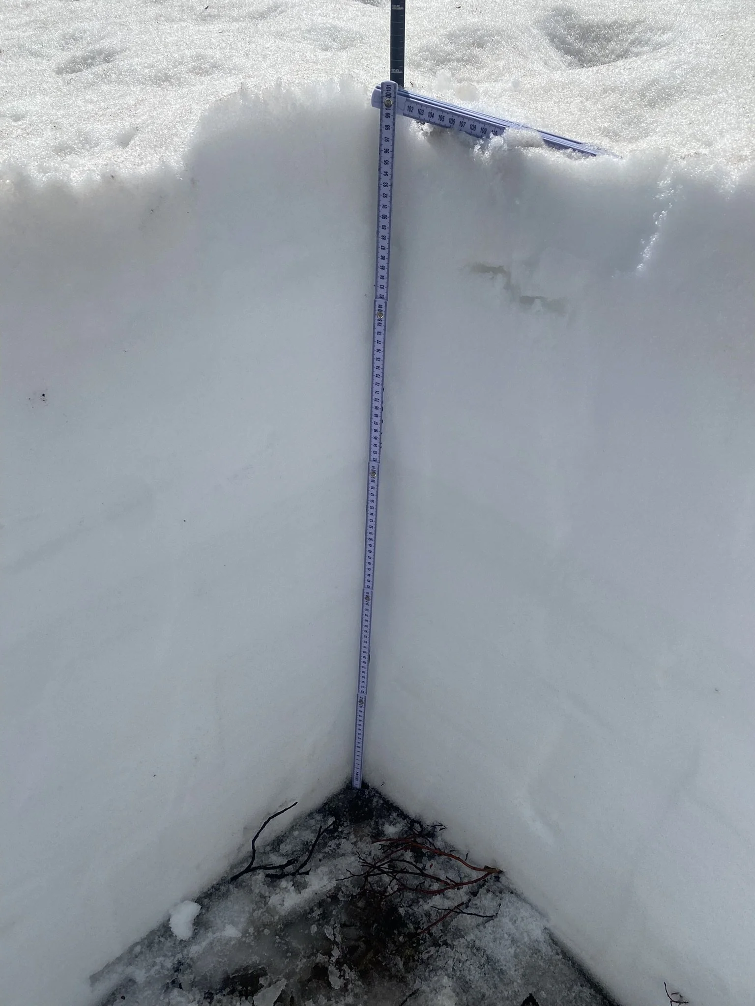
Hoosier Pass: At our Hoosier site we measured 11.2” SWE, while the nearby Hoosier SNOTEL was reporting 10.6”. All the mild dust events in this area this winter is coalesced at the surface. Some of this dust was not easily discernable during our last codos trip in April but very much so now. Dust severity is “Average”.

Berthoud Pass: Measured SWE was 20.7” while Berthoud SNOTEL was reporting 16.3”. Snowmelt a week ago was on hold but these last few days have seen melt rates of ~1”/day. Very distinct muddy top 4”.
Loveland Pass: Measured SWE was 10.7” and Grizzly SNOTEL was 10.9”. Dust consists the top ~4” of the snowpack. Severity is worse that Hoosier Pass.
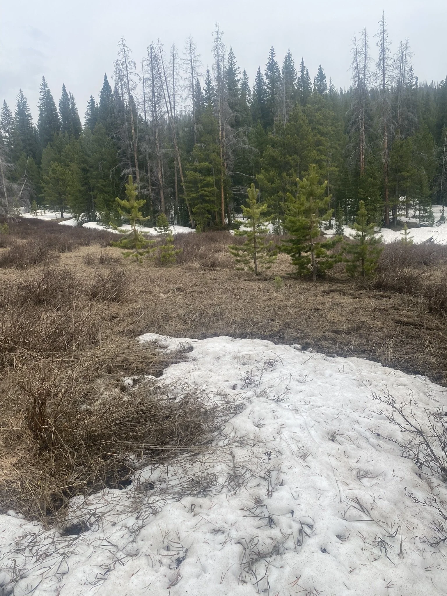
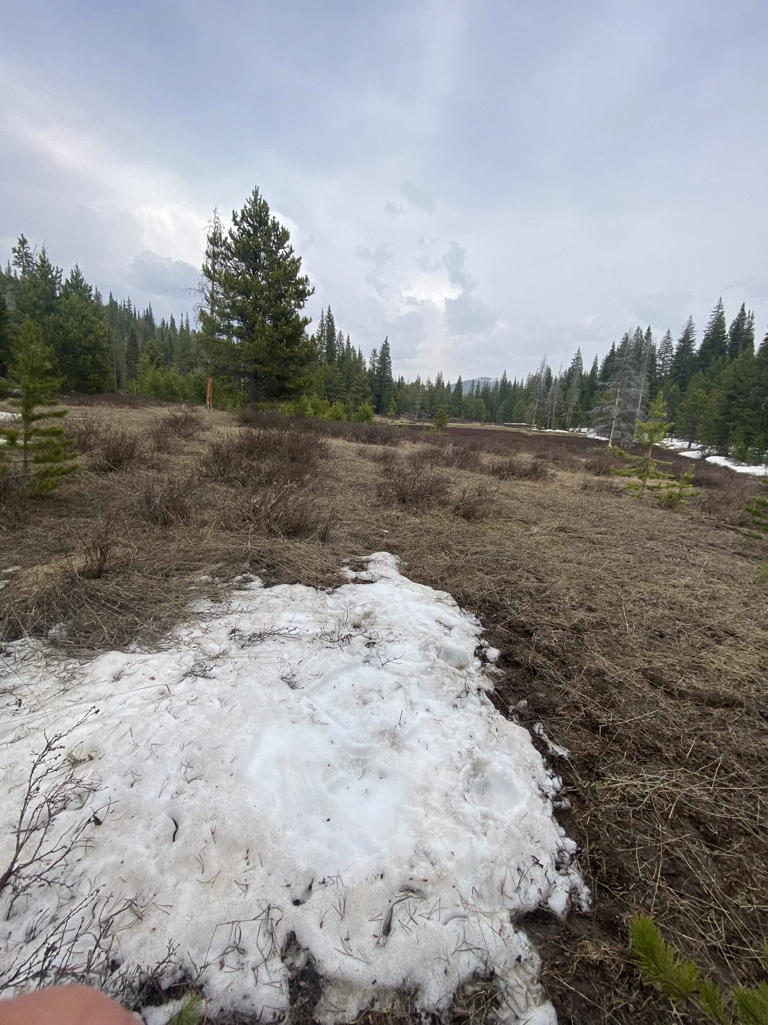
Willow Creek Pass: Snow was gone at our sample site, it appears just in the last few days. Remaining snow across the landscape indicates dust was just as severe as the other Front Range sites.
Rabbit Ears Pass: Rabbit Ears did not escape the dust this year. The April 3 event made it’s way up there. Measured SWE is 19.8”, the SNOTEL reported 9.1”.
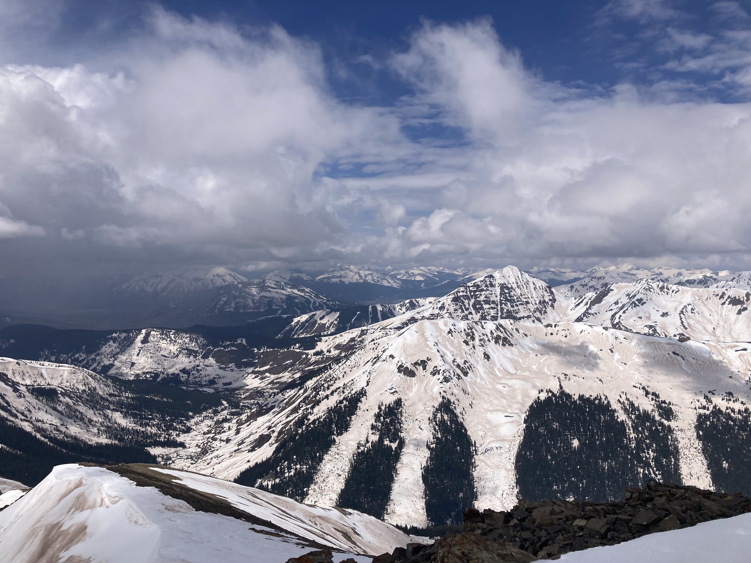
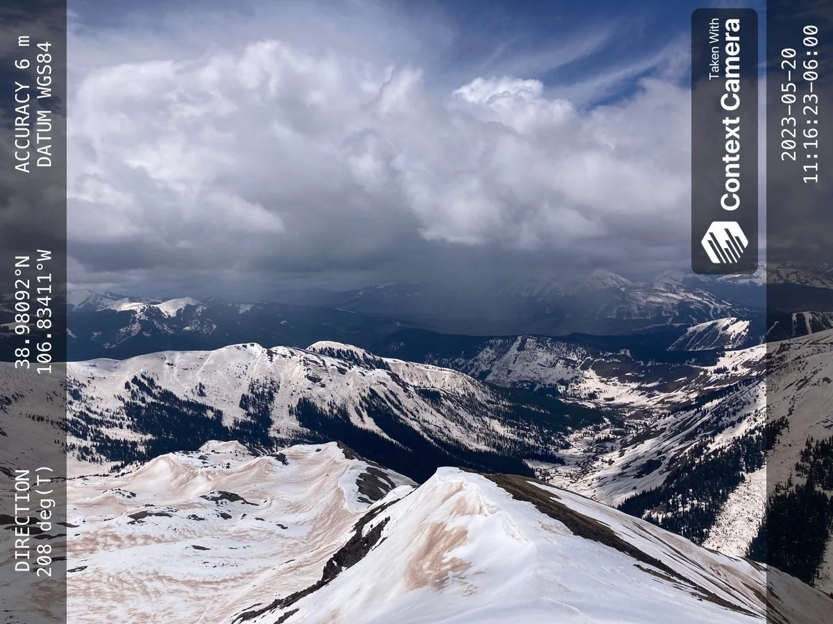
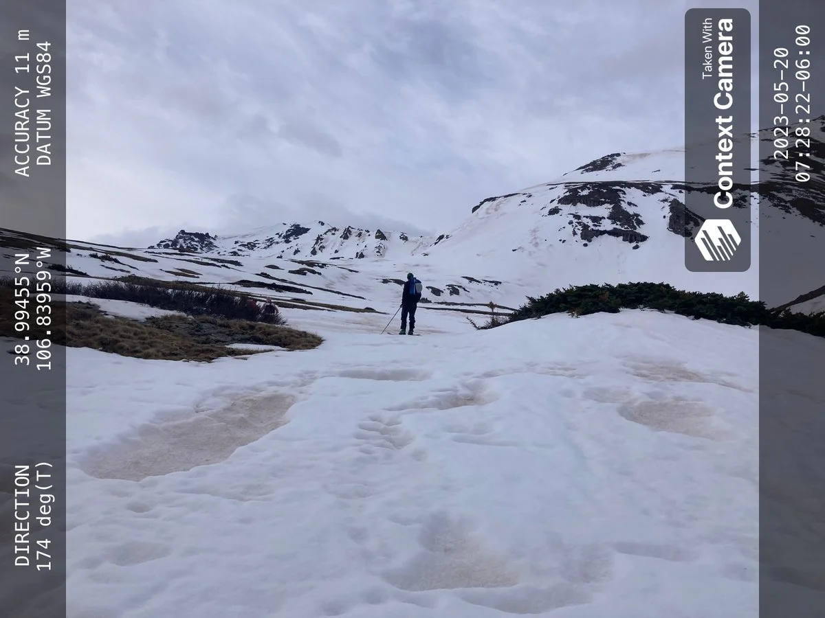
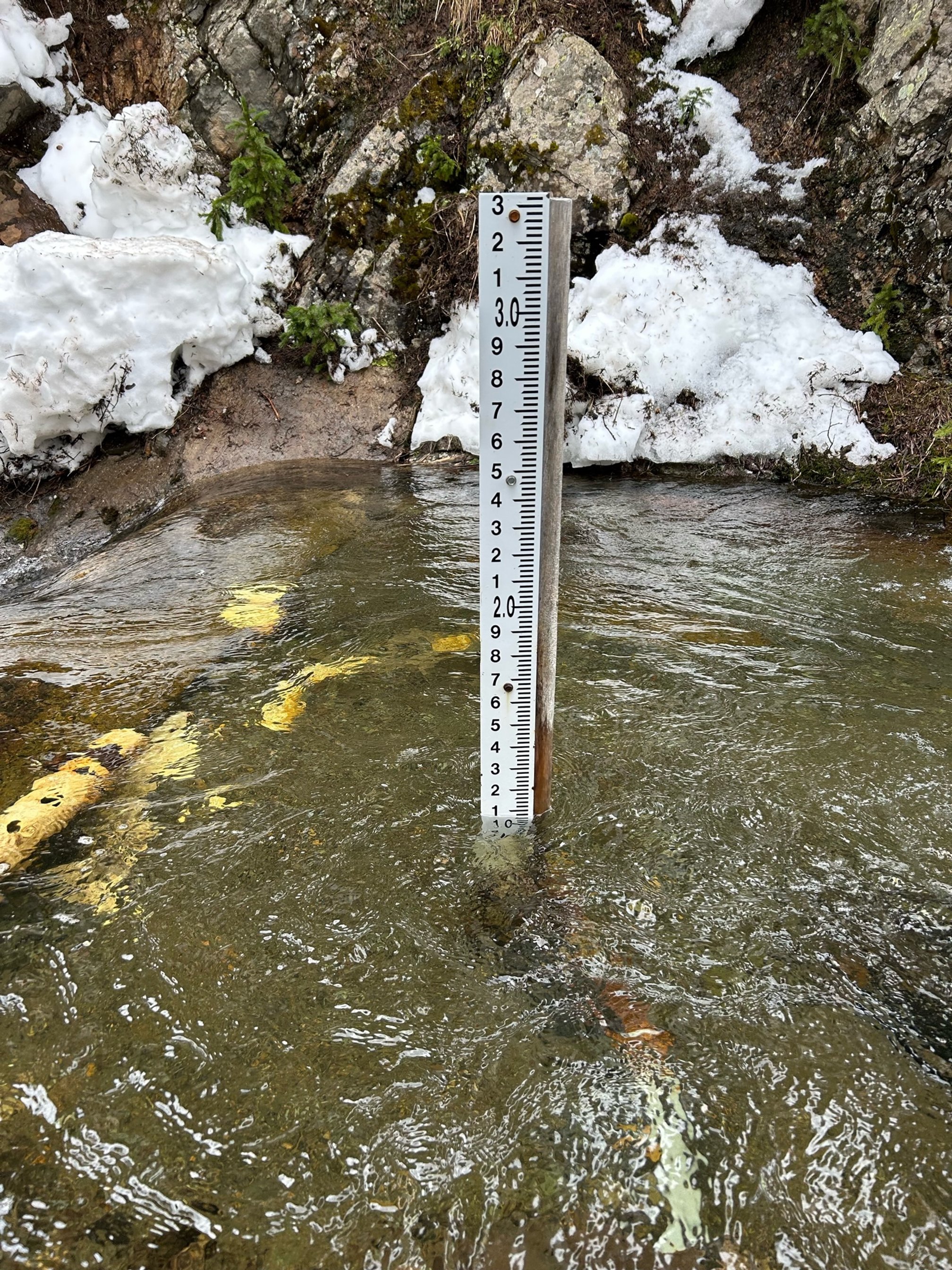
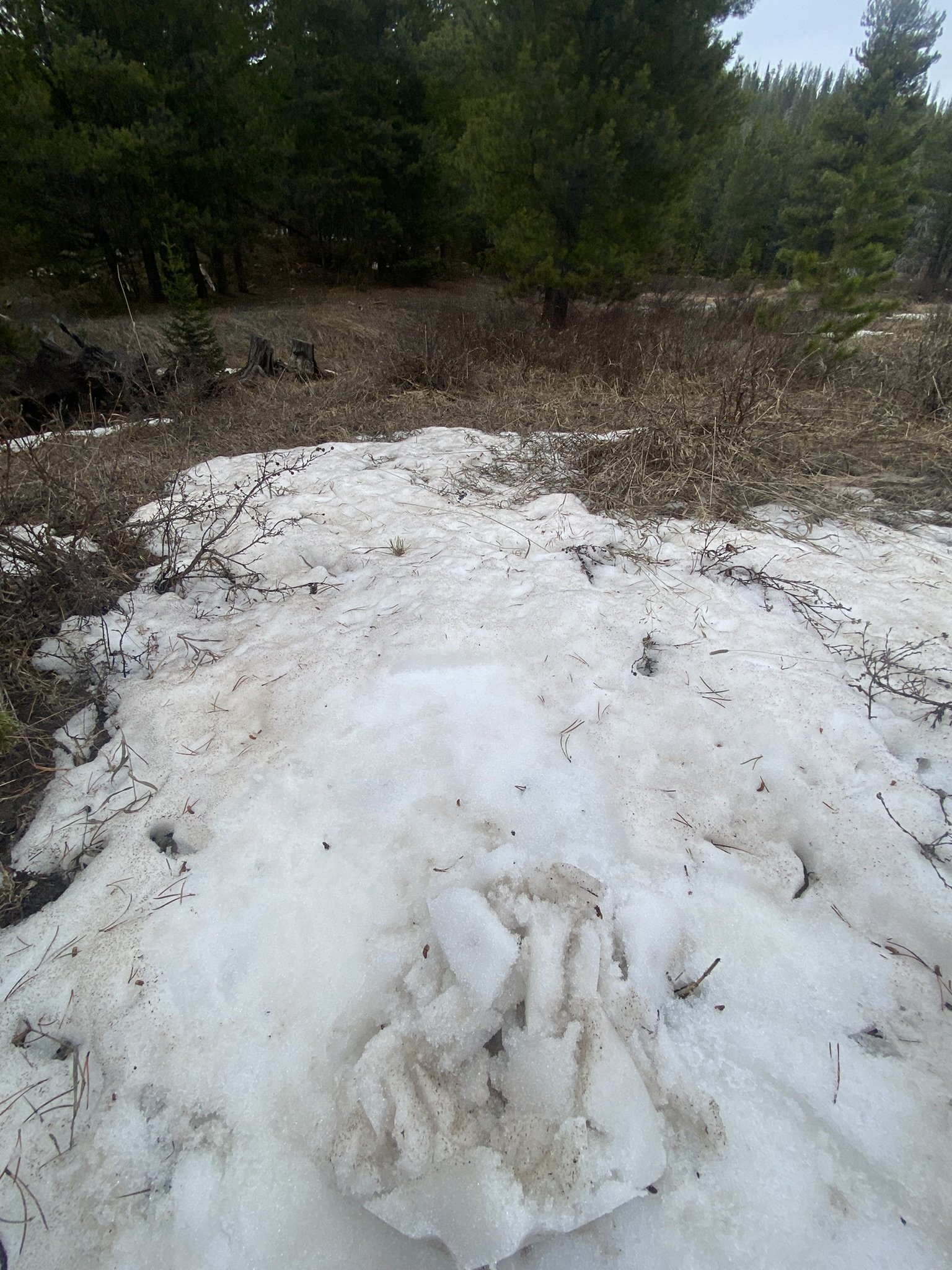
Below: Pictures taken up East River, Brush Creek by Andrew Breibart. And in the Roaring Fork near Castle Creek.