CODOS Update March 19, 2020: First Leg of March CODOS Tour
I hope everyone is healthy and adapting well to the rapidly unfolding societal changes
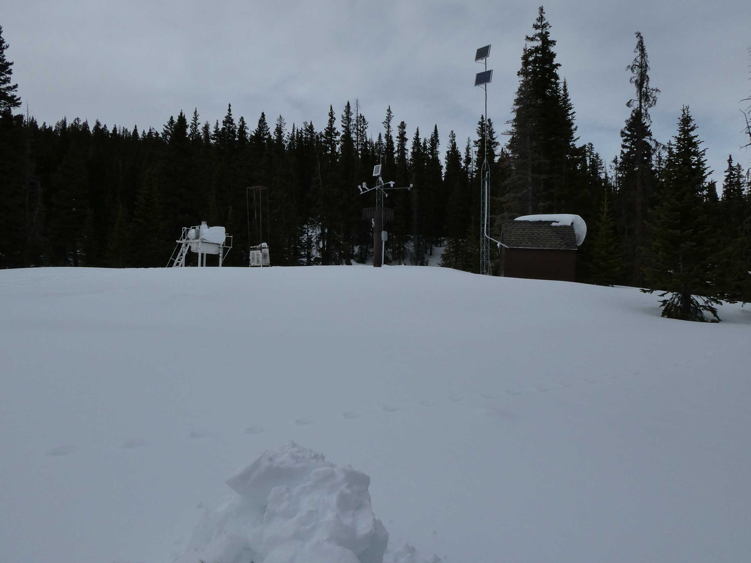
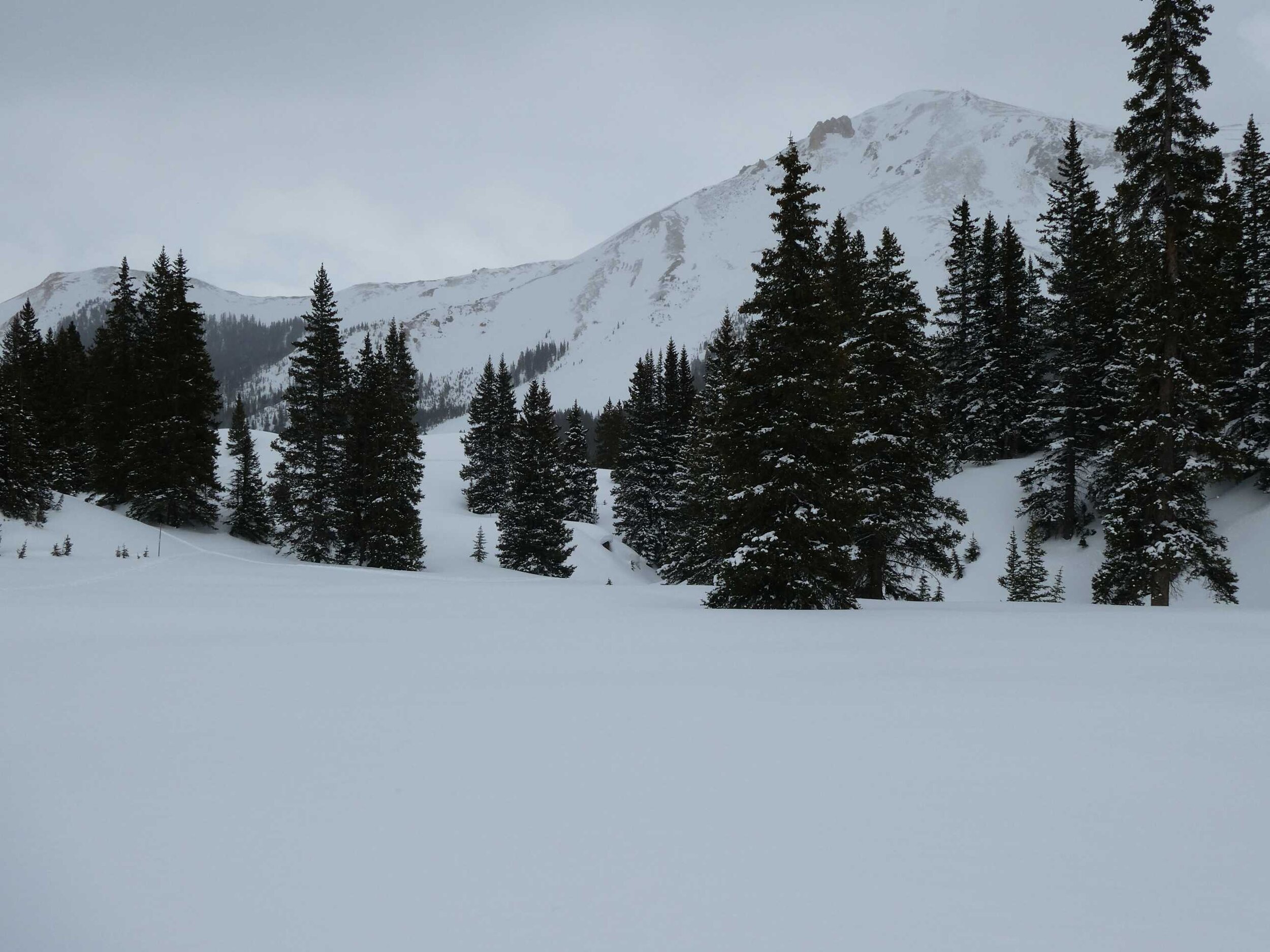
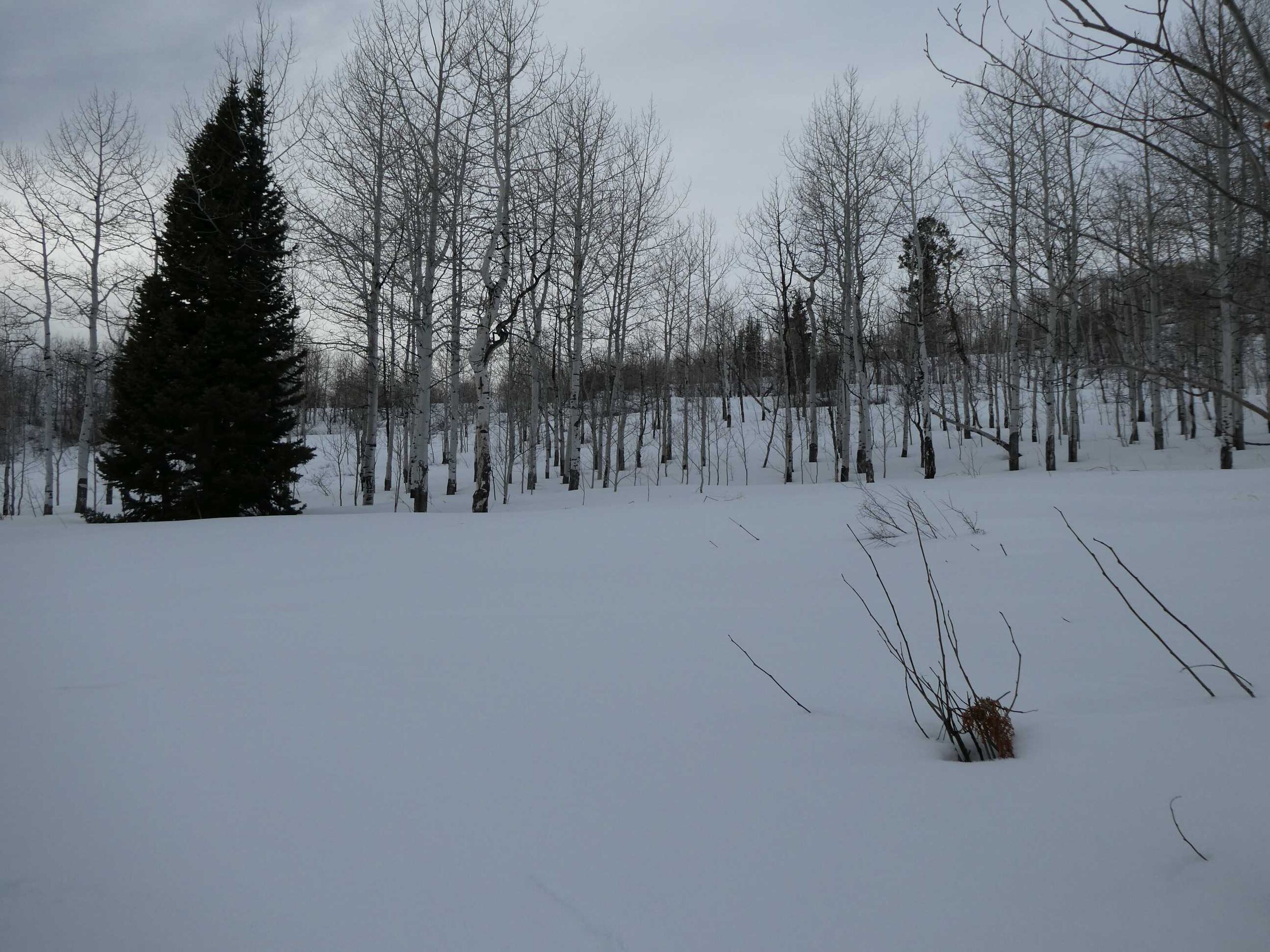
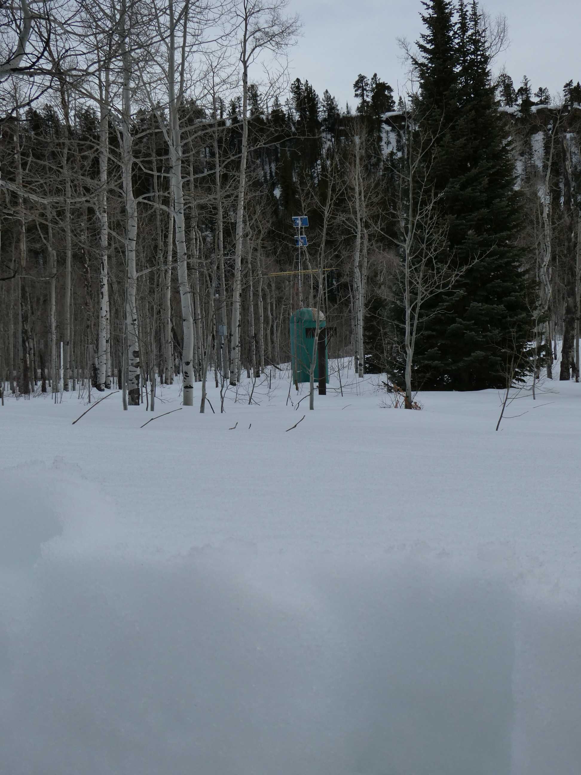
We finished the first leg of the March CODOS Tour late Tuesday. This tour took extra care in planning and executing, as my assistant and I are working independently of each other, preparing our own food, and sleeping in our vehicles in remote mountain areas. Safety is our number one priority whether it be traveling in avalanche terrain, driving in inclement weather, or maintaining distance from people to avoid potential COVID-19 transmission. If we feel we cannot conduct a CODOS tour without potentially exposing ourselves or other people we will cancel future CODOS tours. But as of now, we feel we can safely collect snowpack data at our 11 sample locations throughout the state, located at relatively remote mountain passes. Living in Silverton, working in a 1-person office, and doing solo field work, self-isolation is not a stretch to my normal activities. As for my assistant, his camper is his home right now anyway. We will remain flexible and cancel a site(s) visit if necessary. That said, NRCS has announced that this month’s snow surveys are cancelled. For the remainder of the snow season, assuming the CODOS team does continue field sampling, if there is any data (beyond what we normally collect) that we can reasonably collect to help water mangers ascertain the status of the snowpack please contact me. Of course we can’t take on multiple snow courses or anything like that, but pictures, reading a depth stake, limited depth or SWE measurements, are possibilities.
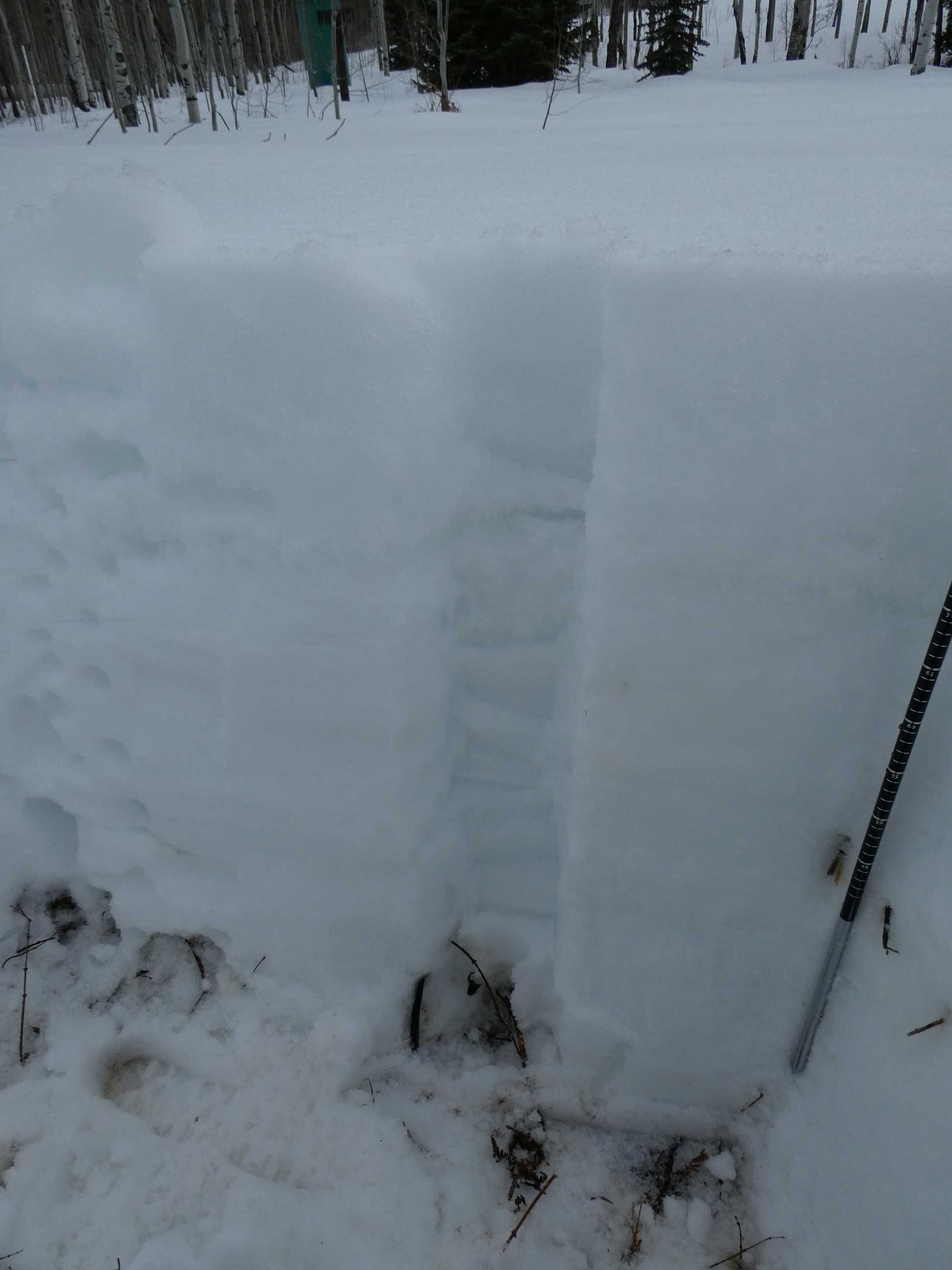
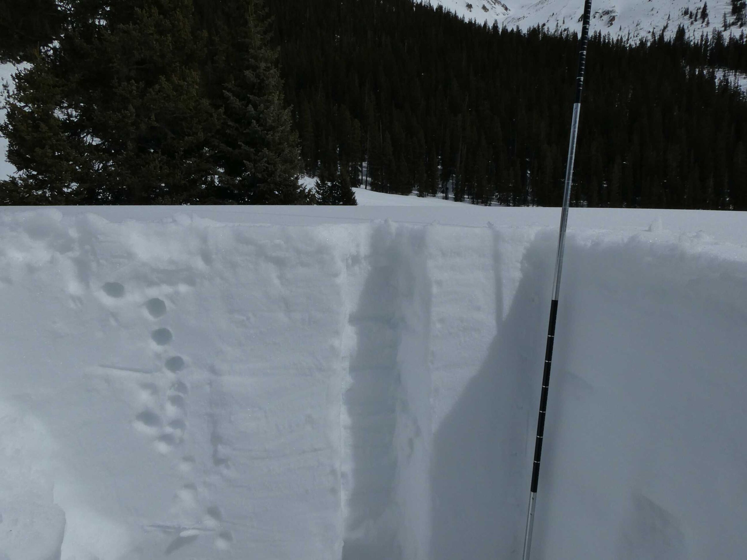
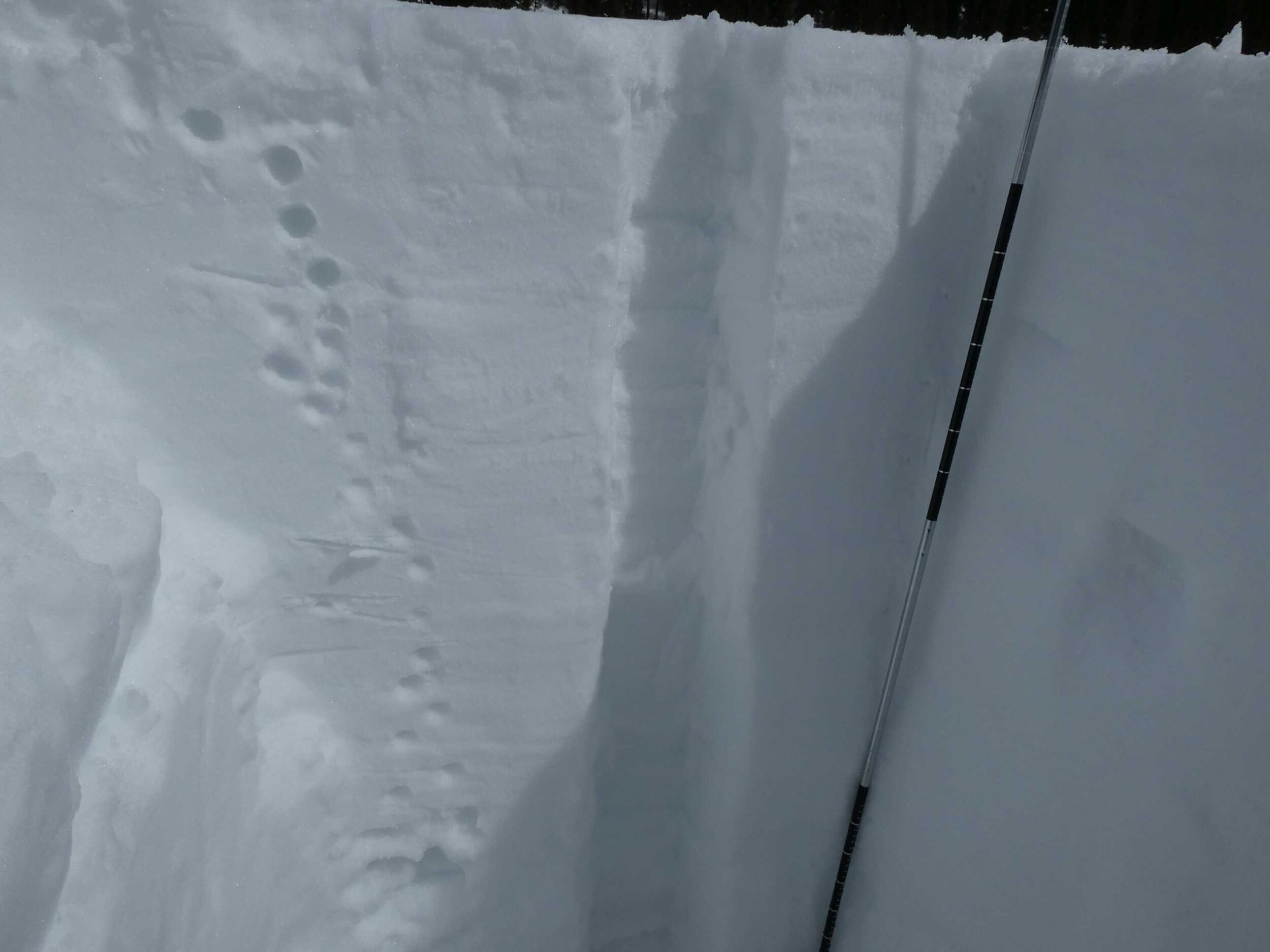
DUST CONDITIONS
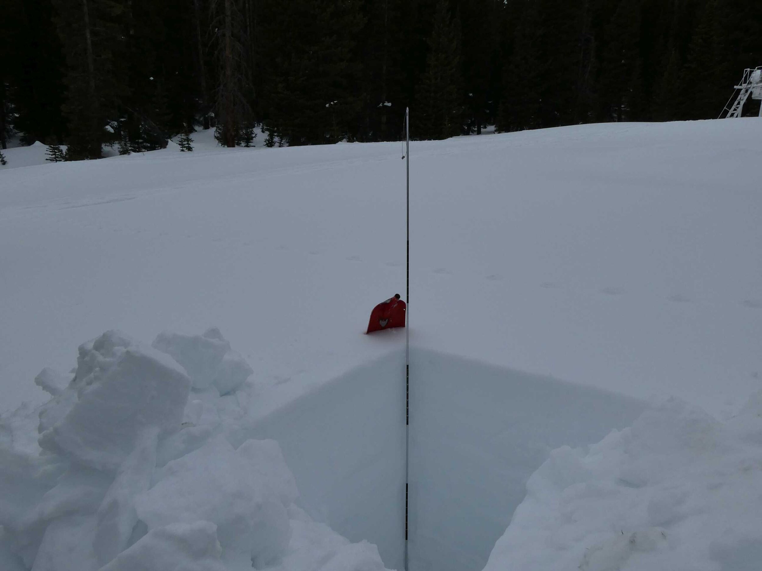
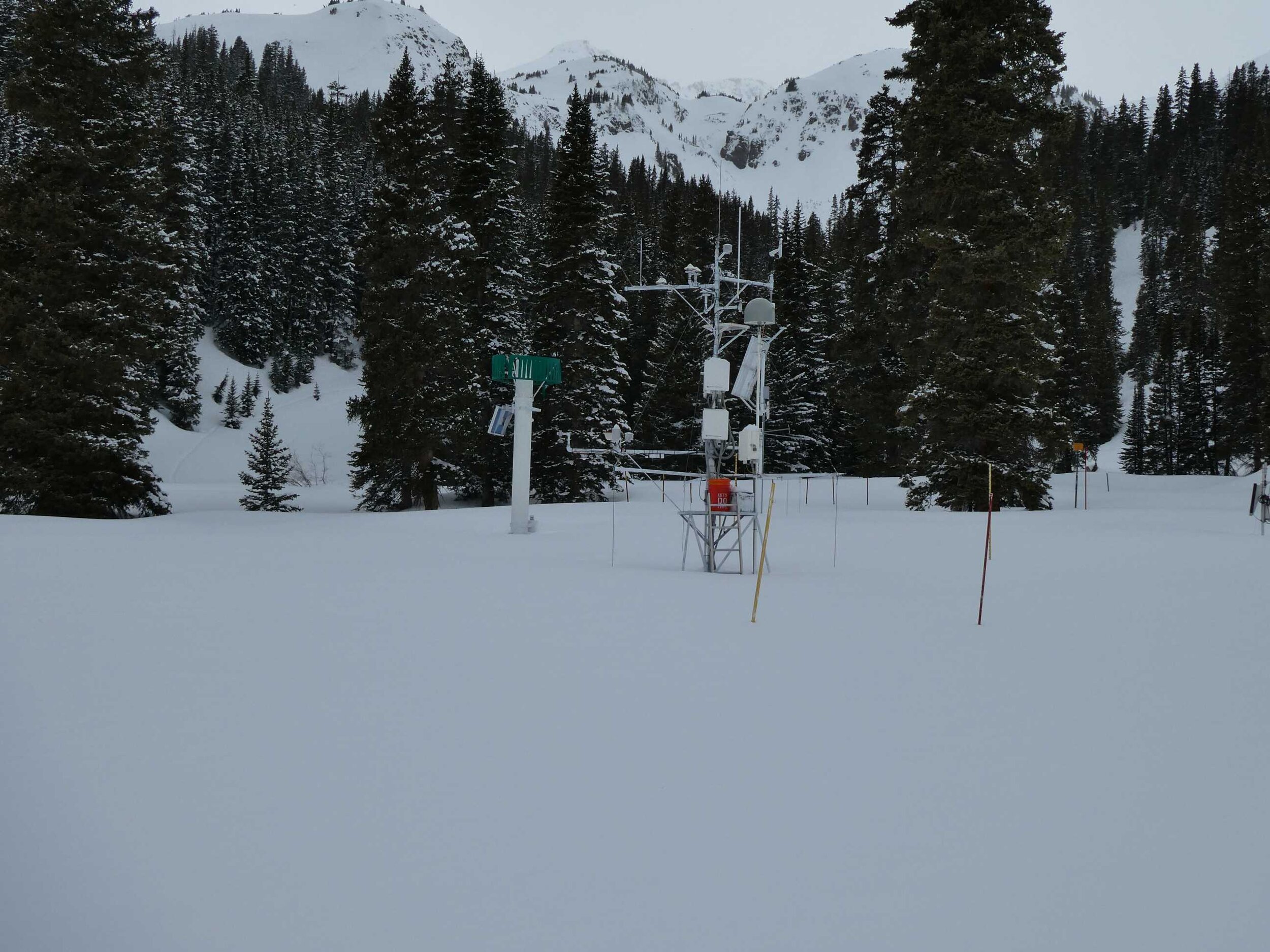
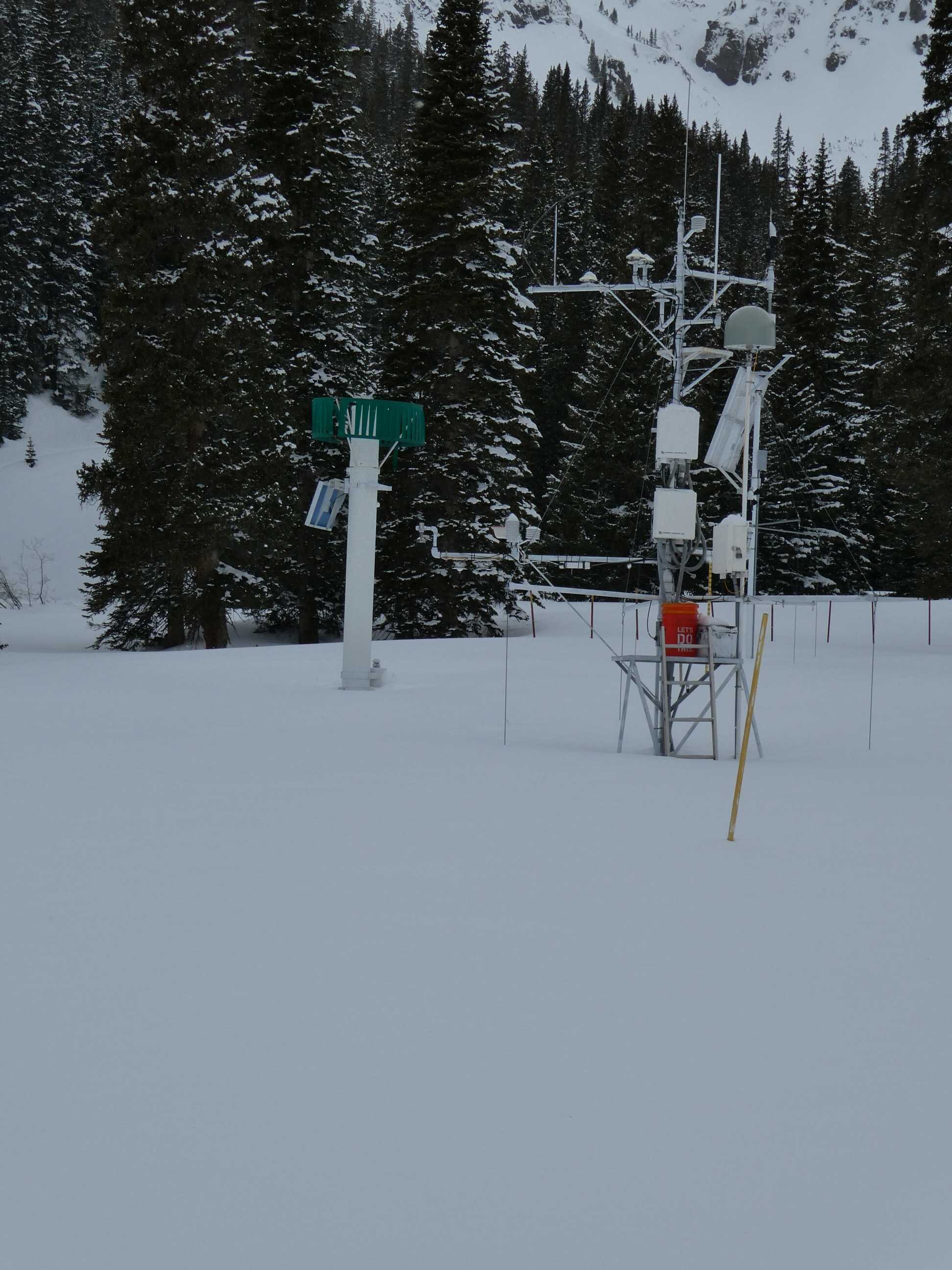
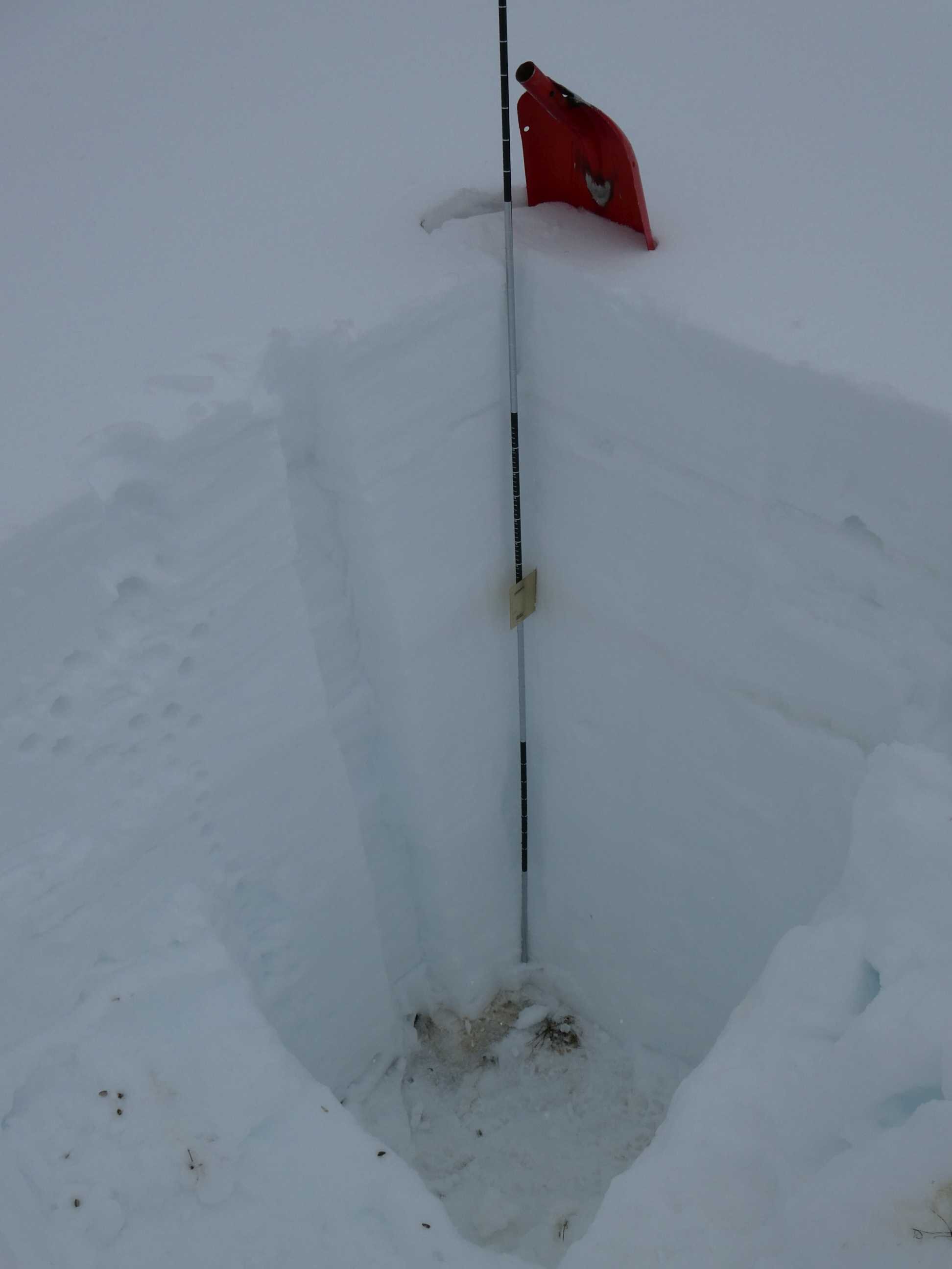
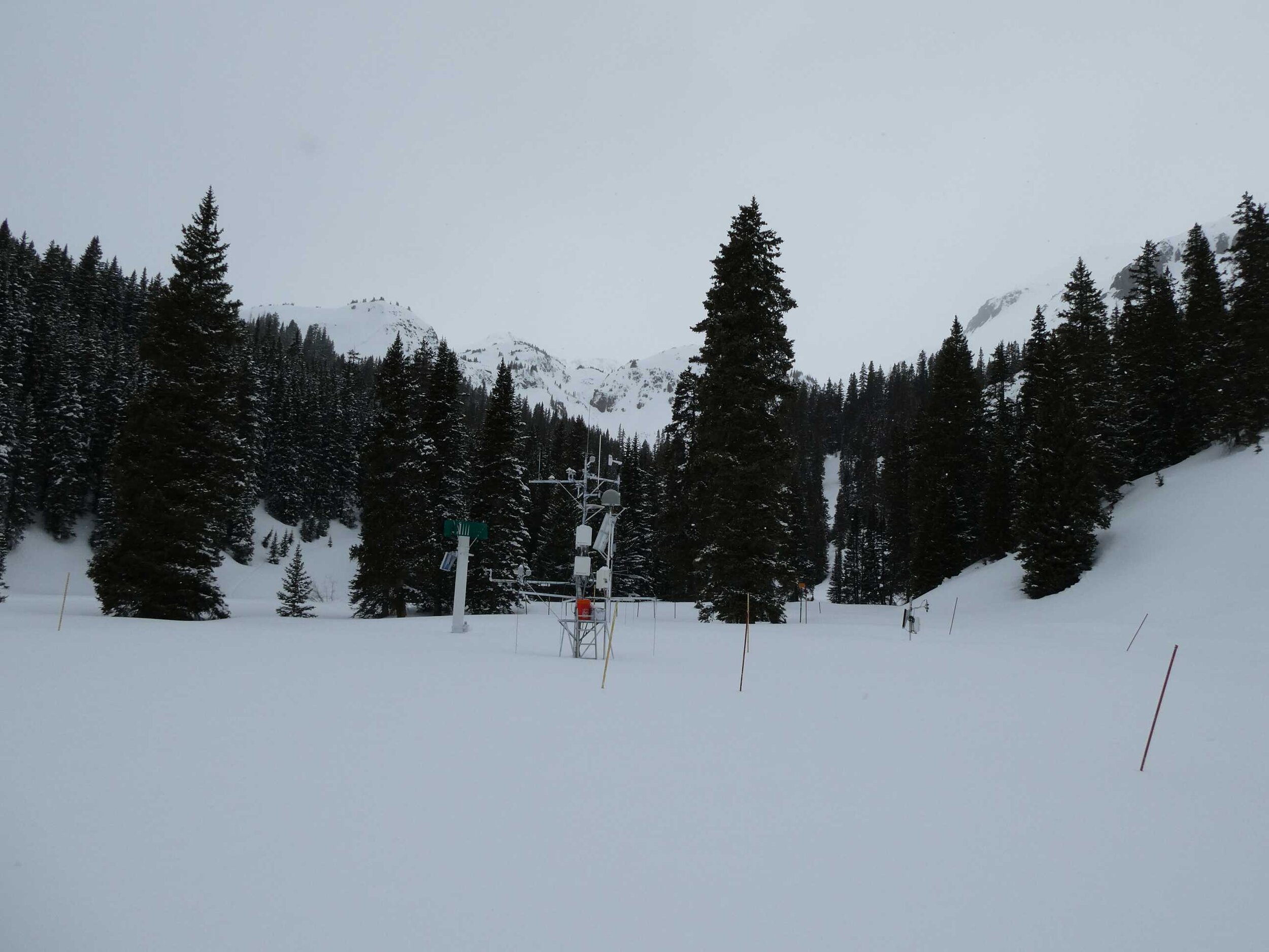
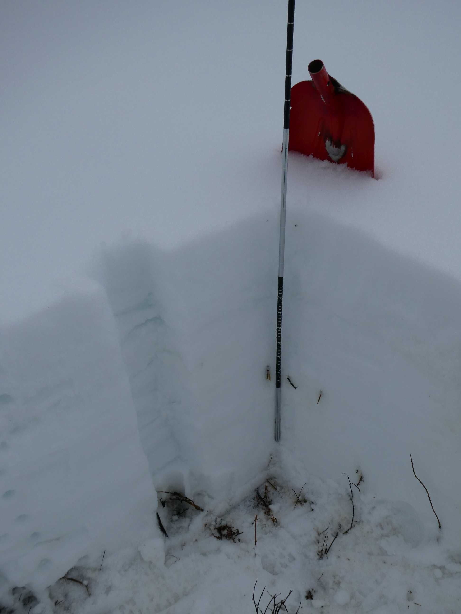
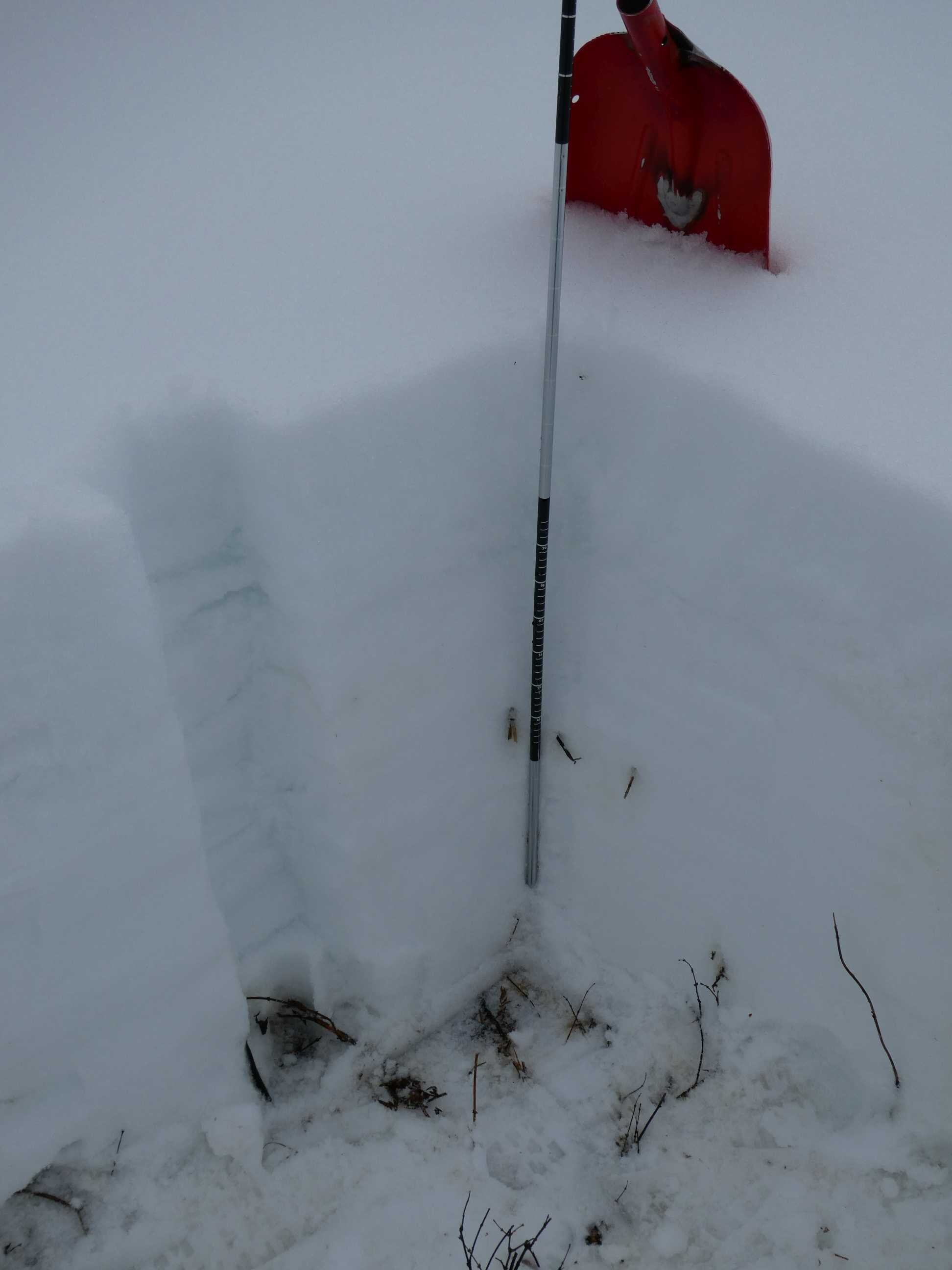
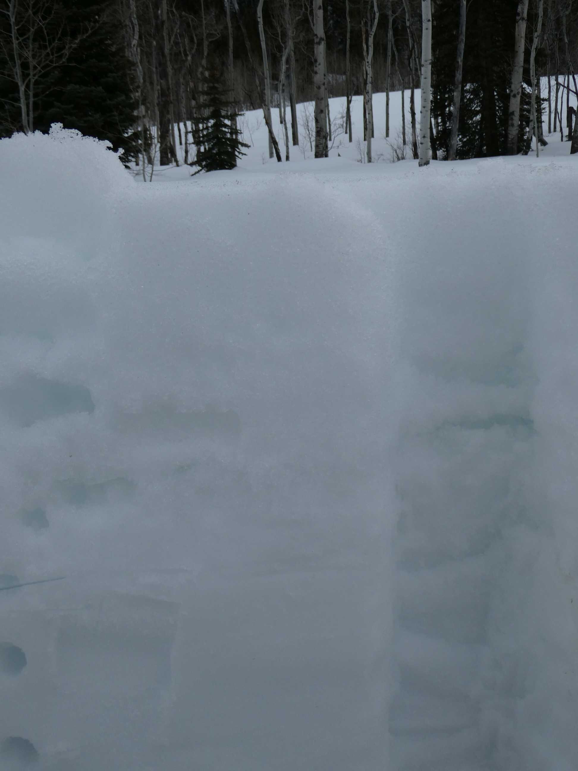
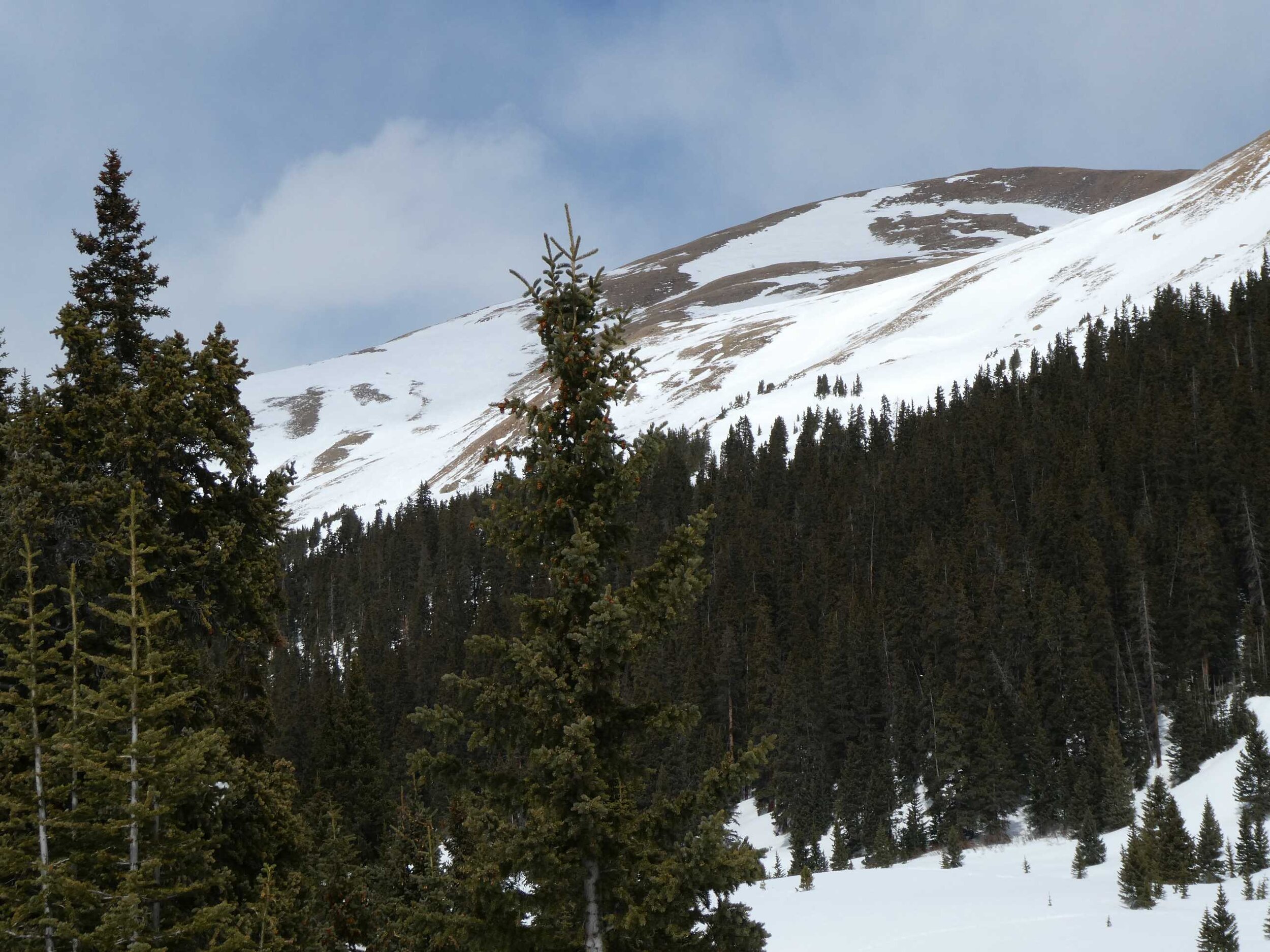
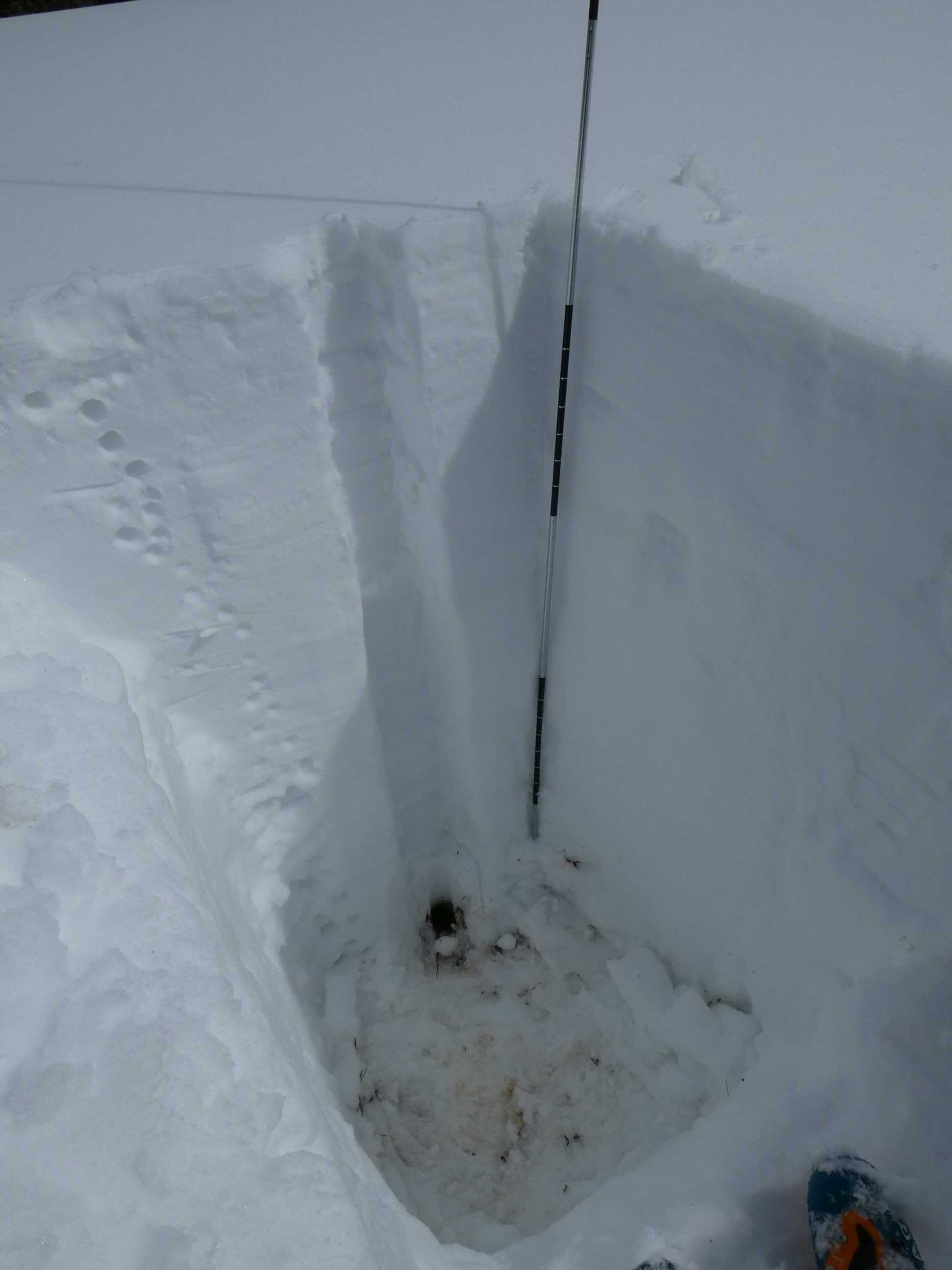
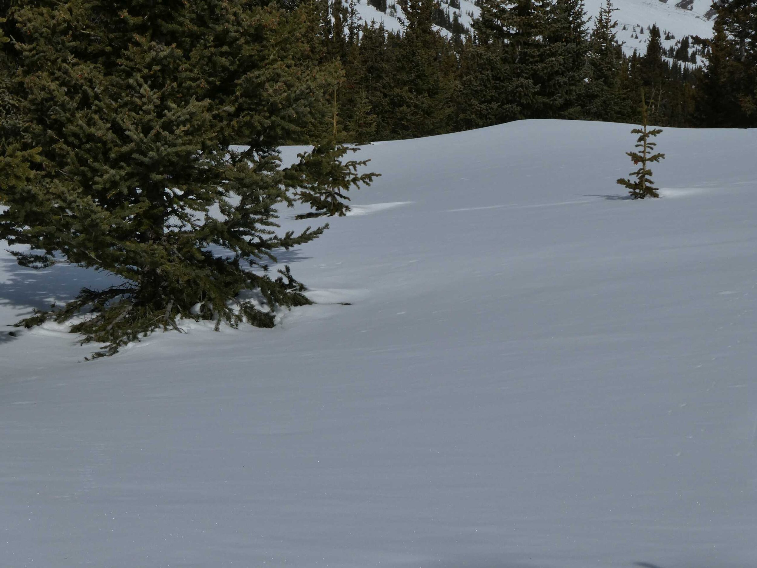
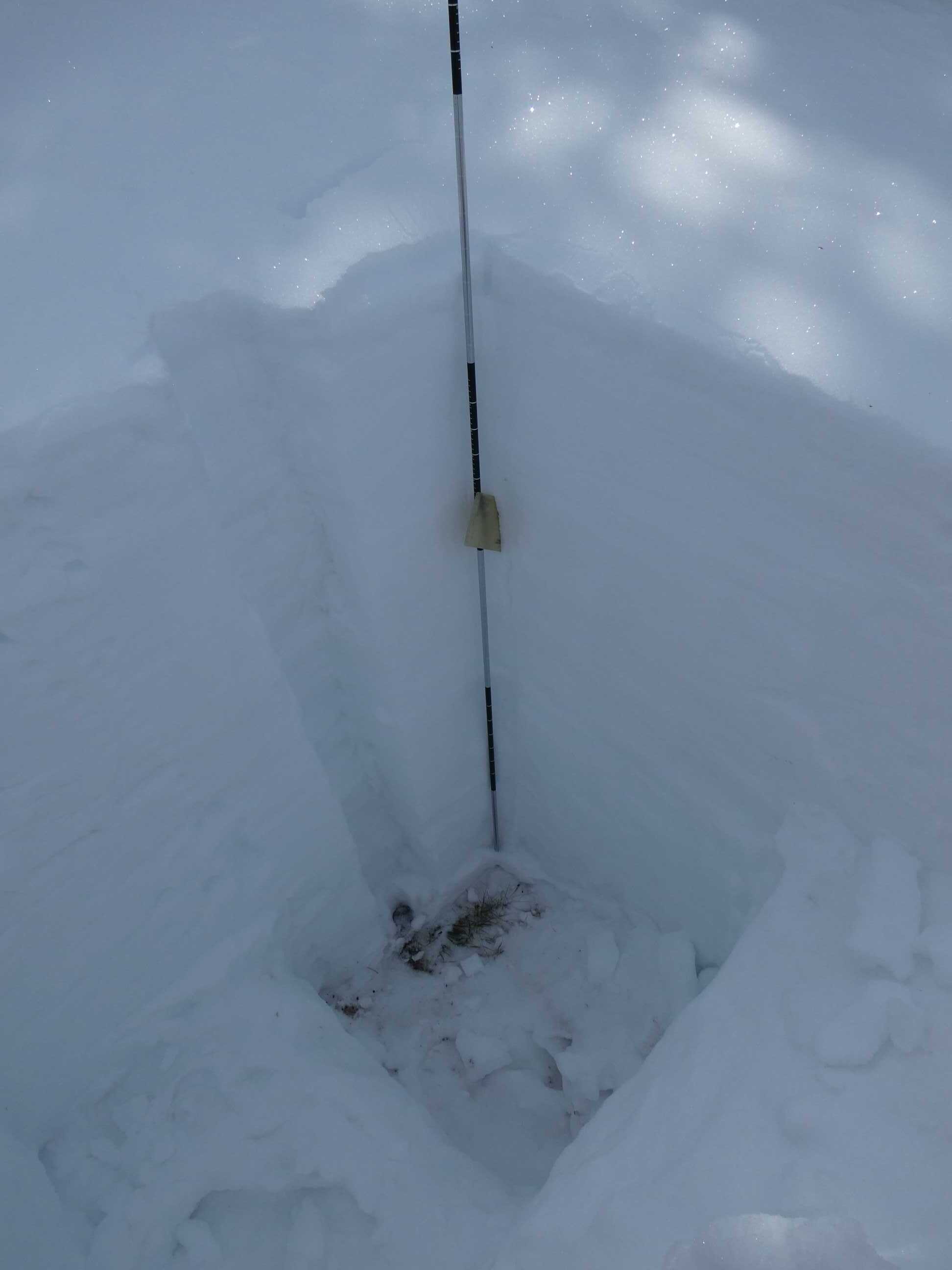
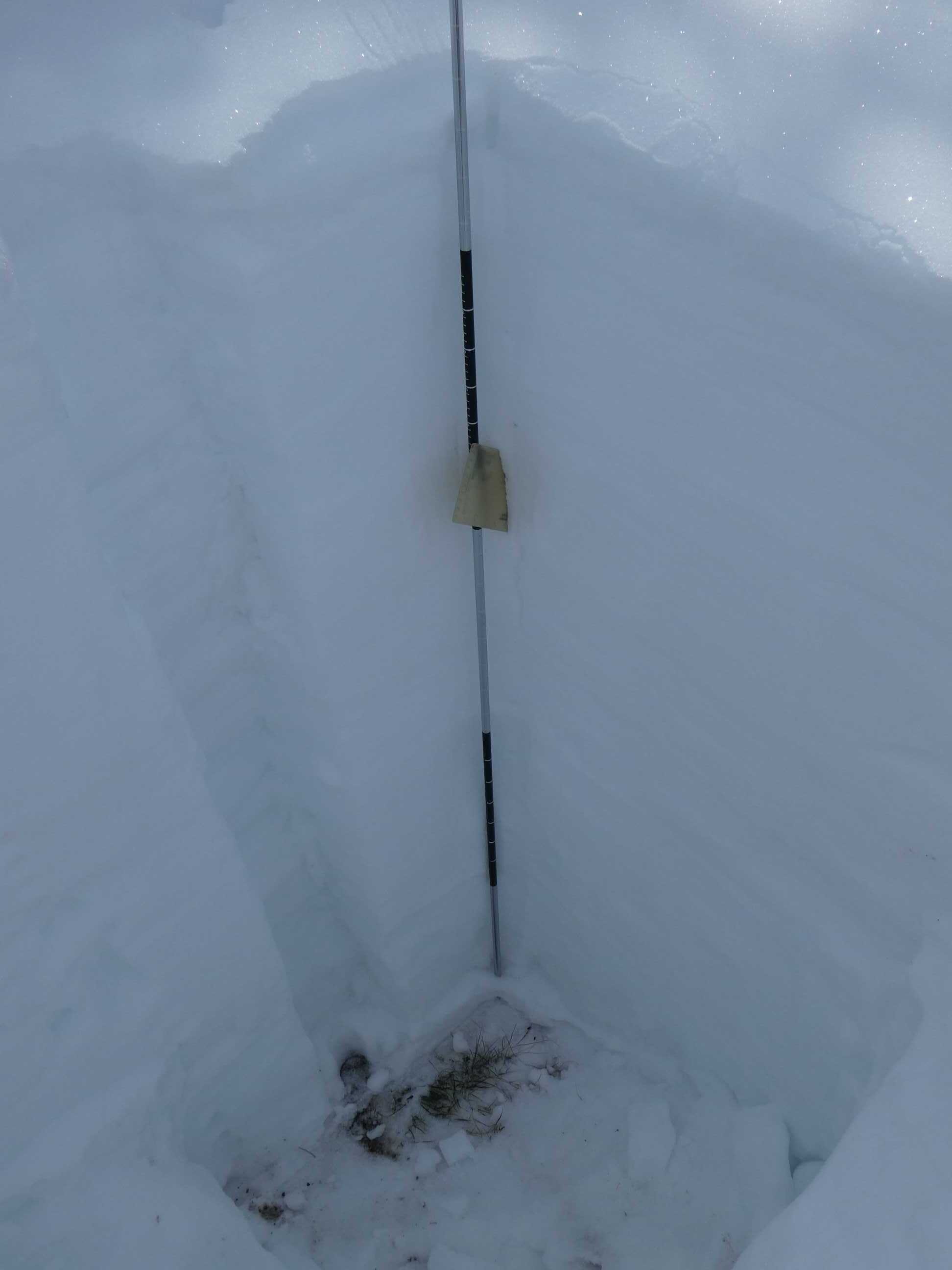
To date we are looking pretty good in terms of dust-in-snow at the sites visited. At Swamp Angel in Senator Beck Study Basin we had a dust event from January 16-17 that is currently 2’ beneath a 6’ snowpack. This dust layer is obvious in a snow profile but it is not overly dirty, appearing to be a moderate event. A couple weeks ago this dust started emerging on solar aspects and in some isolated locations on leeward slopes in the Northern San Juan Mountains mainly at higher elevations, but after the March 13-14 storm was covered to some degree. There has been some breezy conditions over the last few days so after the forecasted snowfall the remainder of this week we will see if we have received a new dust event as well as new accumulation that may have covered it. As a reminder our near-real time station data can be viewed here: https://snowstudies.org/current-conditions/
The other sites sampled March 16-17 show no obvious dust layers. However, there is an old surface layer, located at depth consistent with that observed at Swamp Angel that could contain light dust from the storm noted at Swamp Angel.
SNOWPACK CONDITIONS
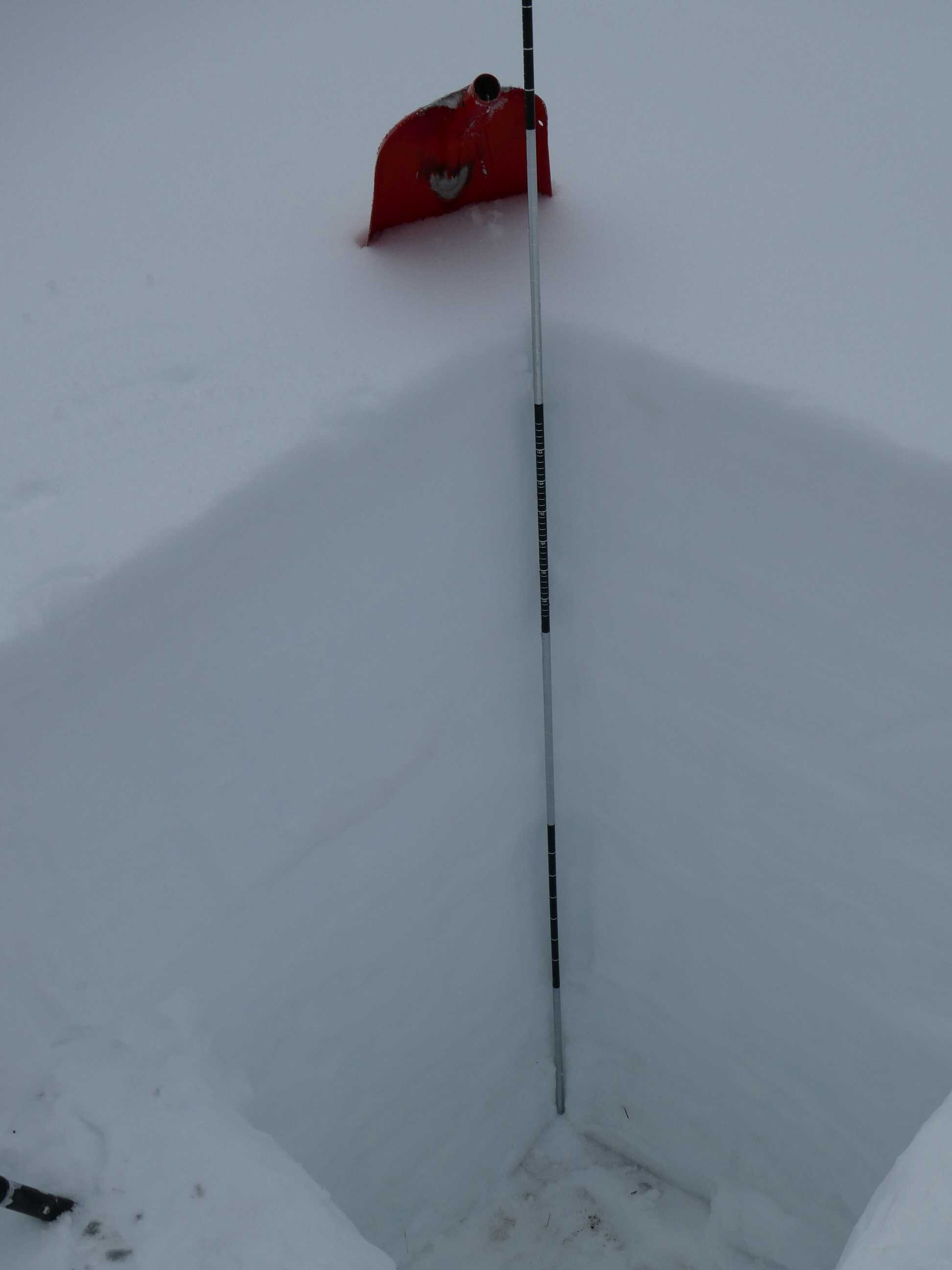
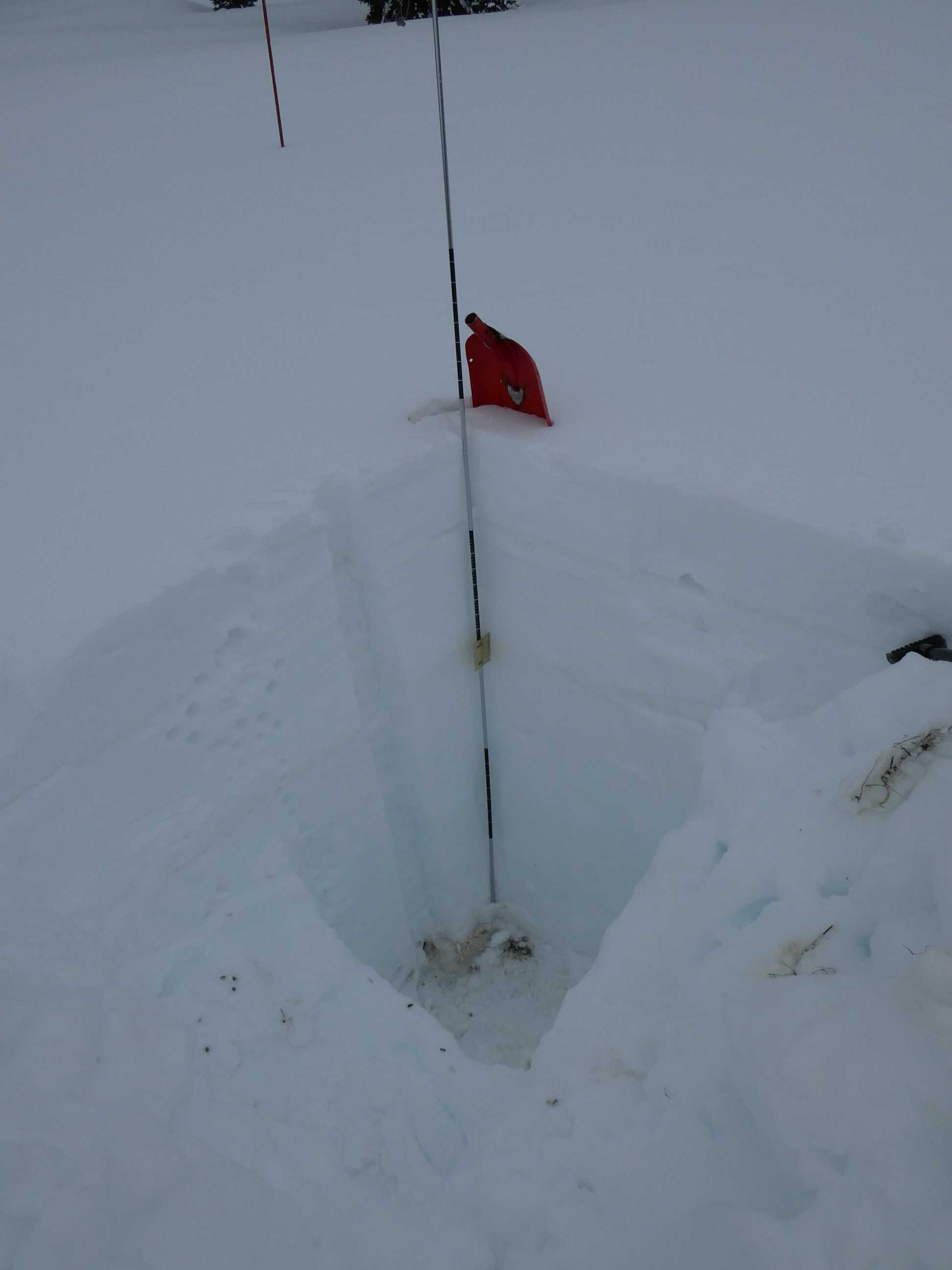
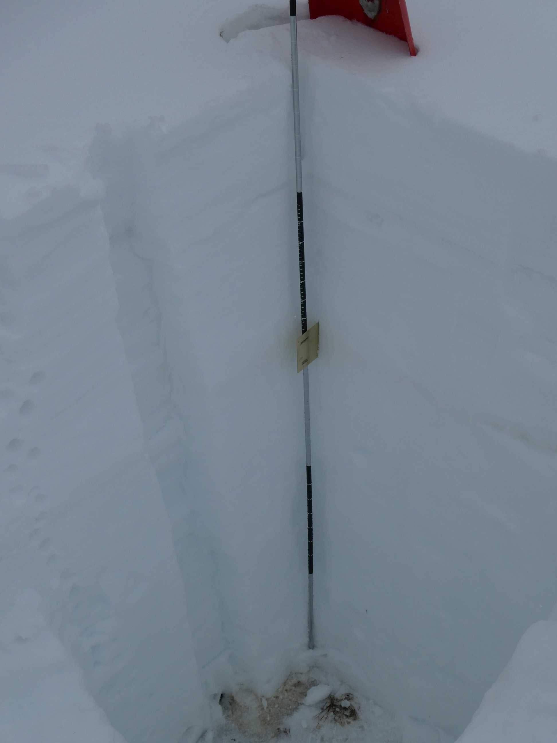
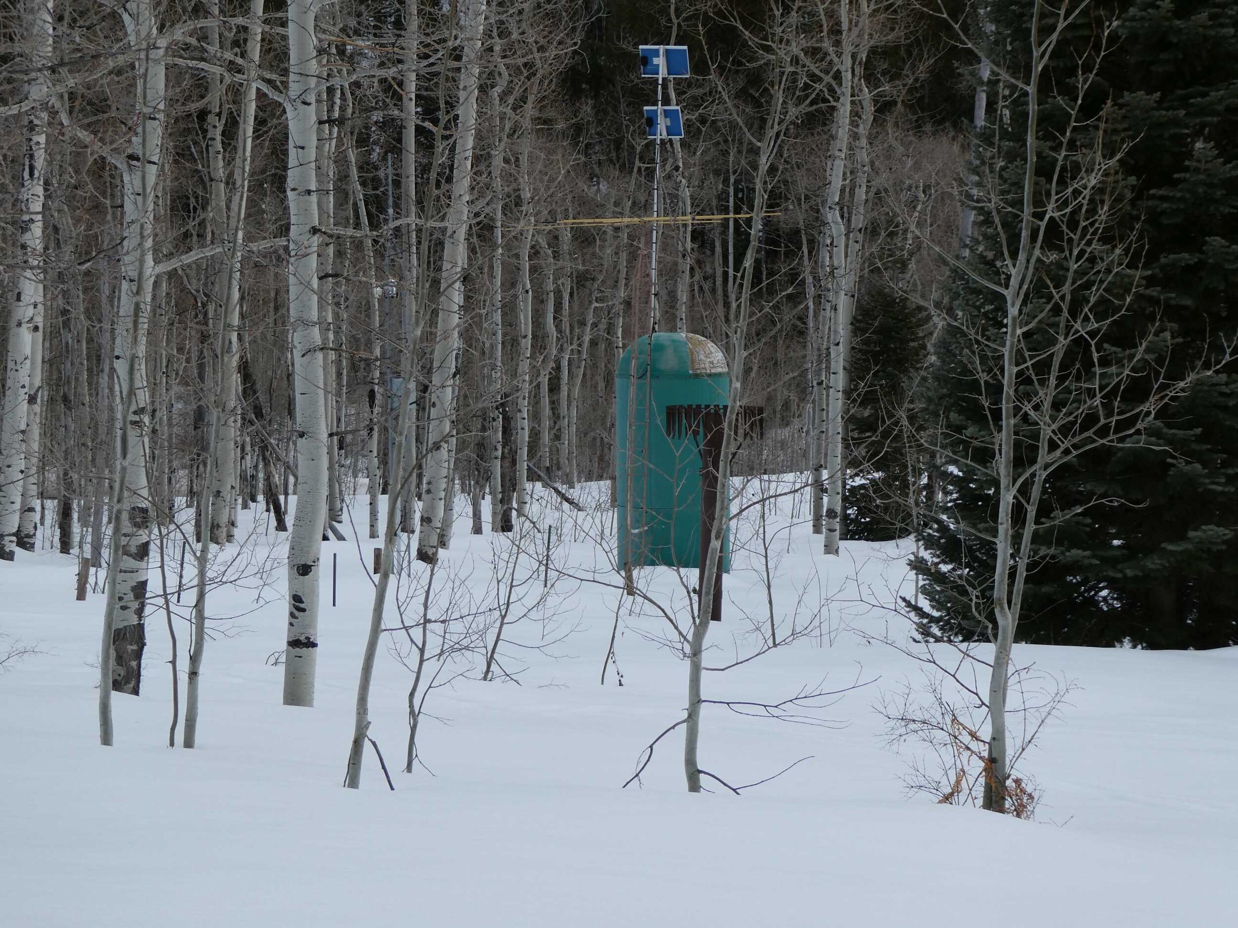
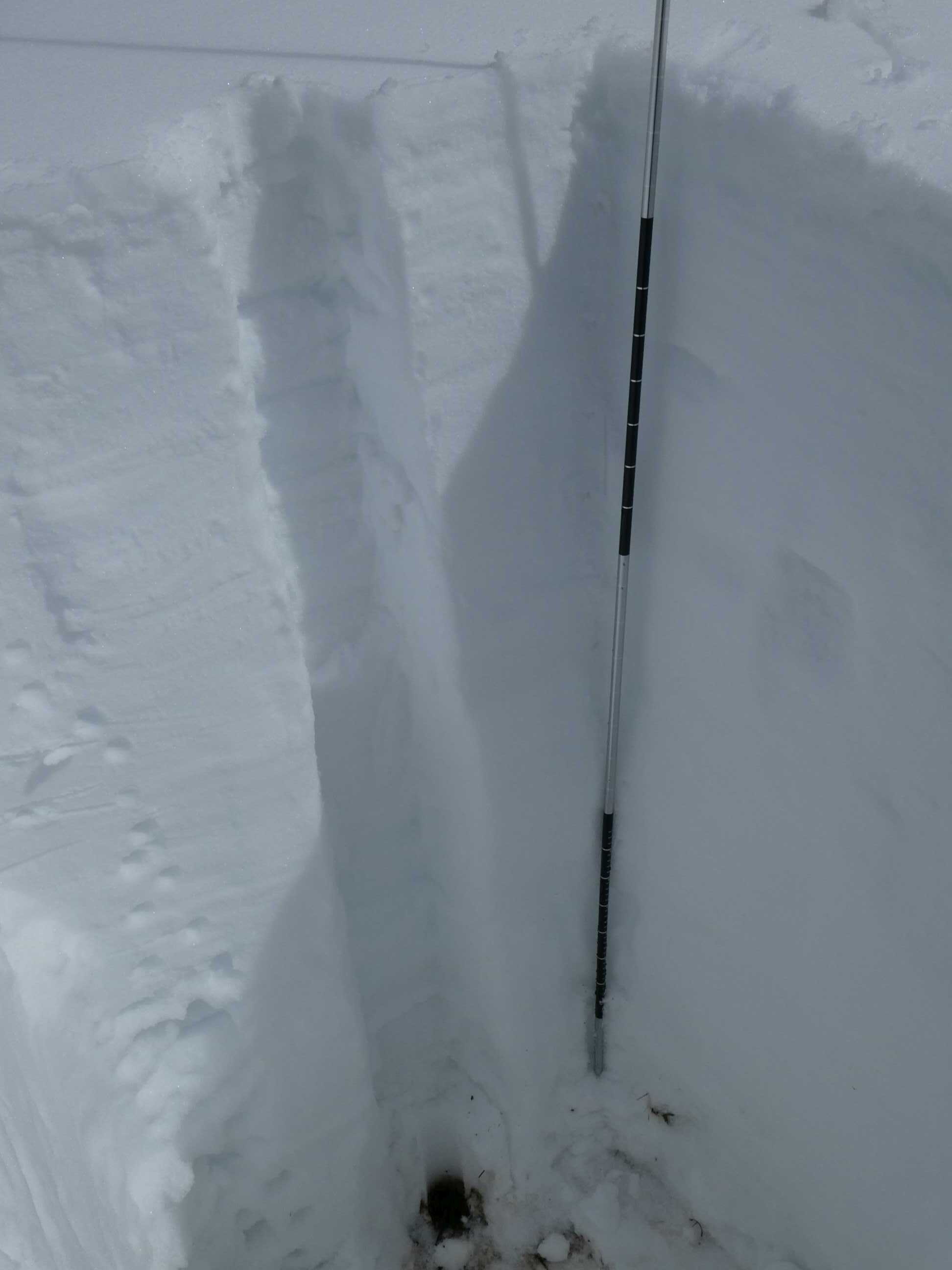
Swamp Angel Study Plot (March 15): Moderate dust layer at 3.8’. Snow depth = 5.9’. SWE= 23.5”. Senator Beck Study Plot (12,200’) snow depth just hit median levels from the current storm. We will collect SWE measurements when conditions allow.
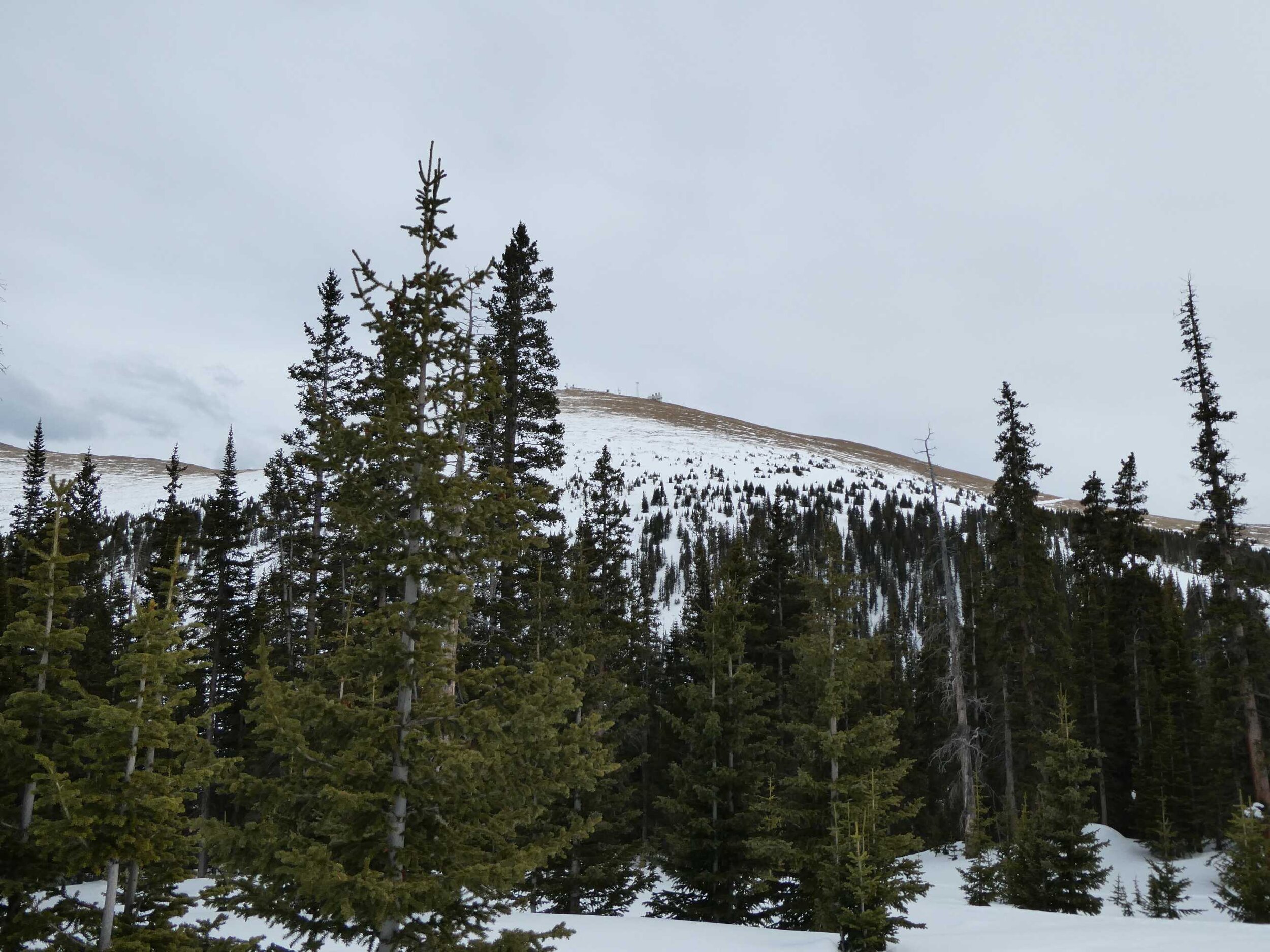
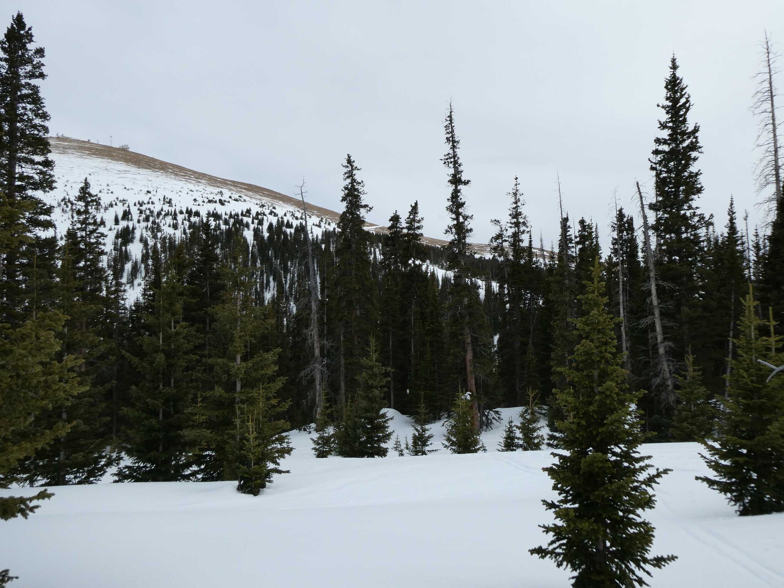
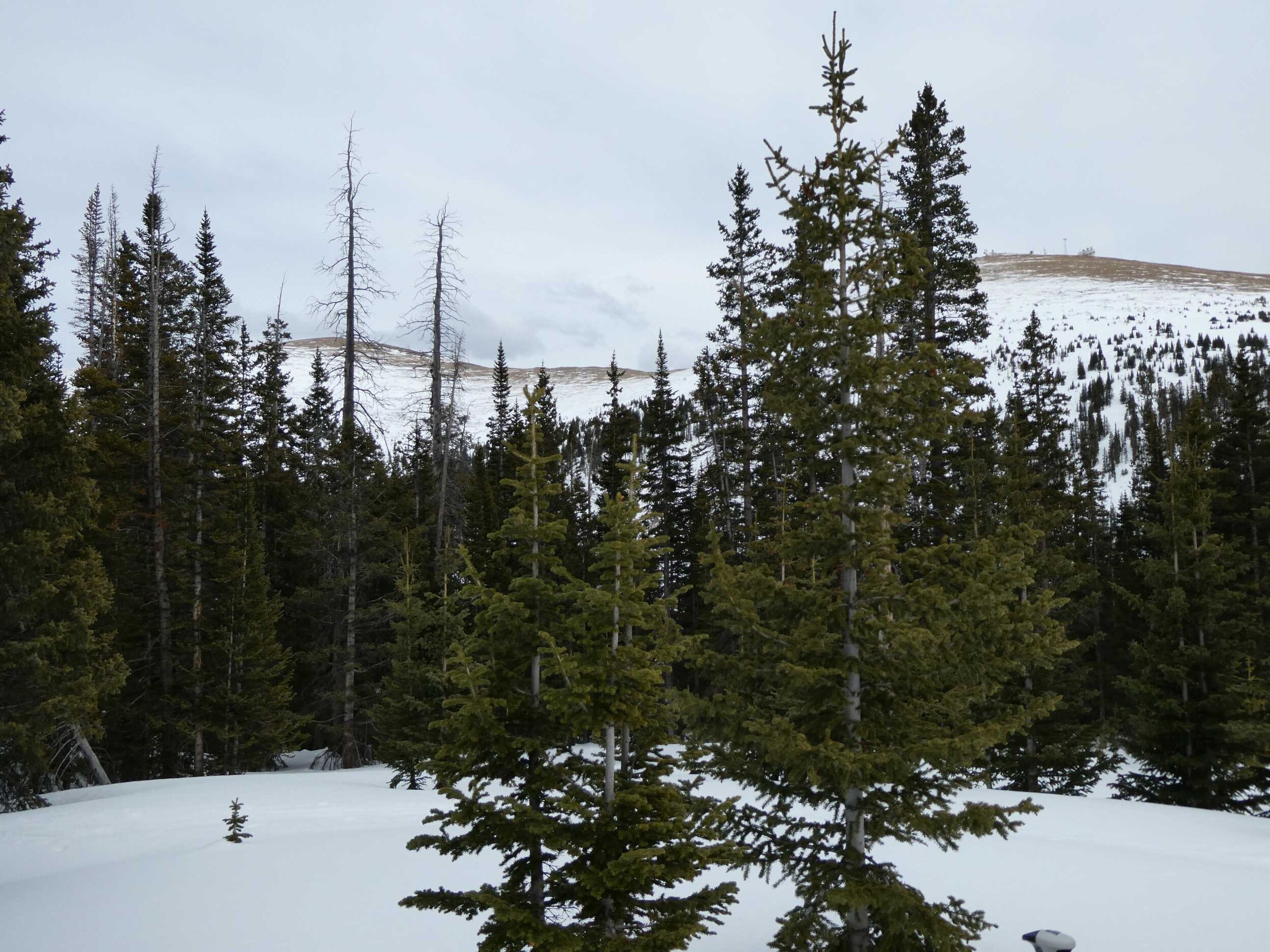
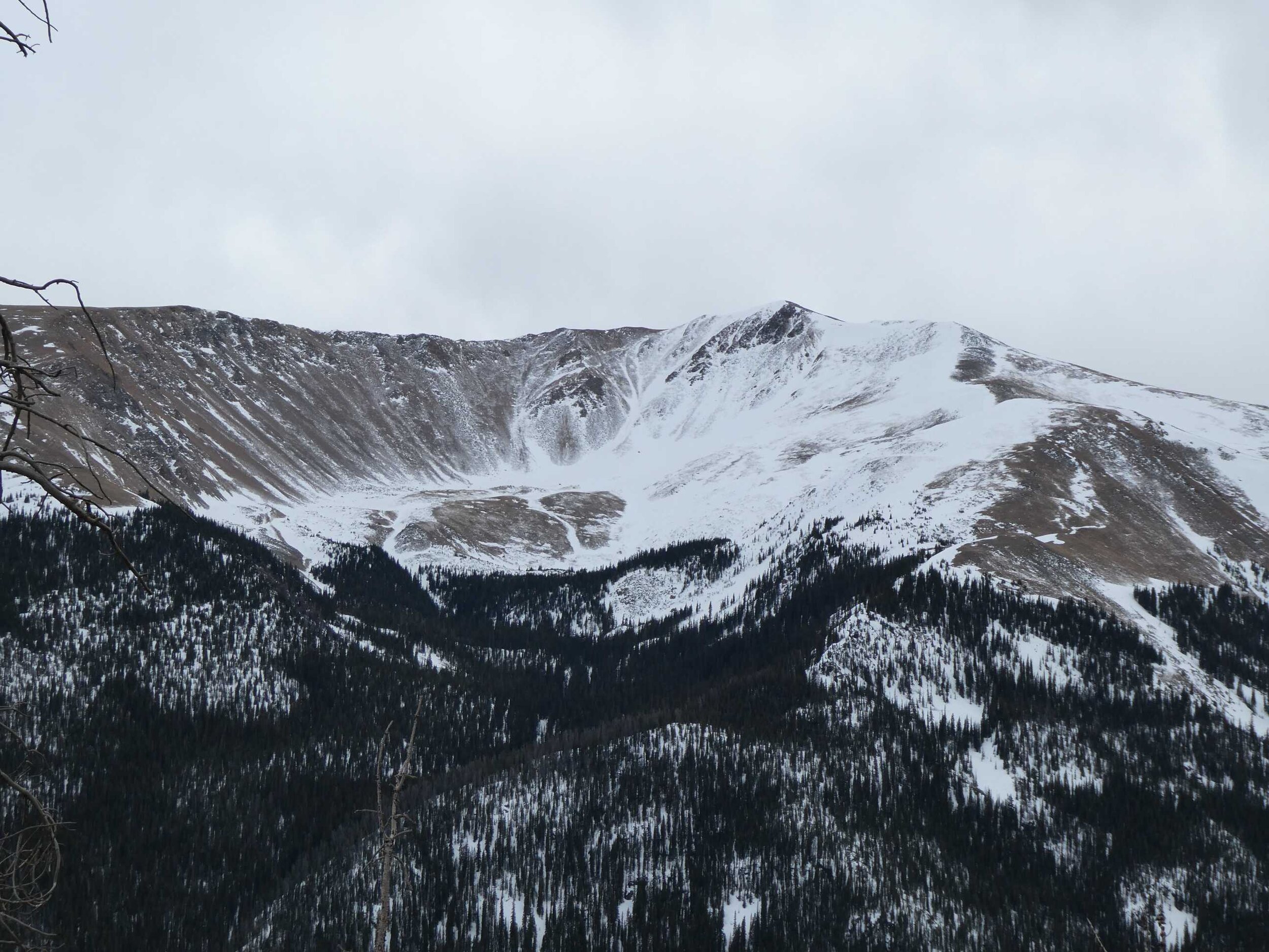
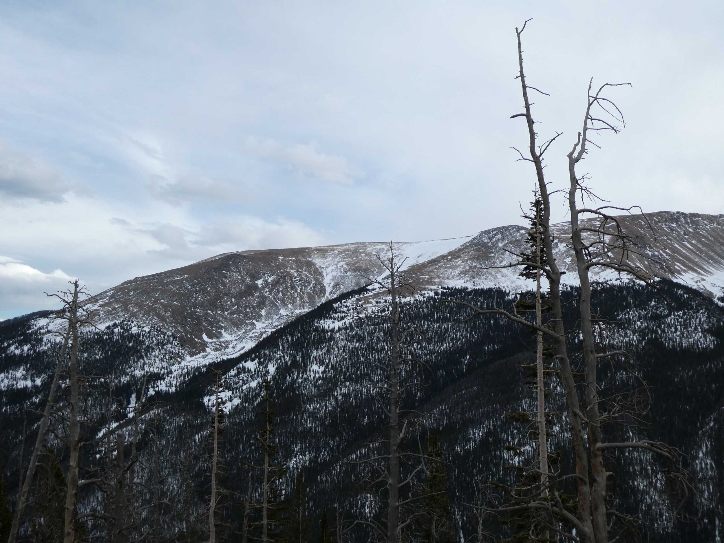
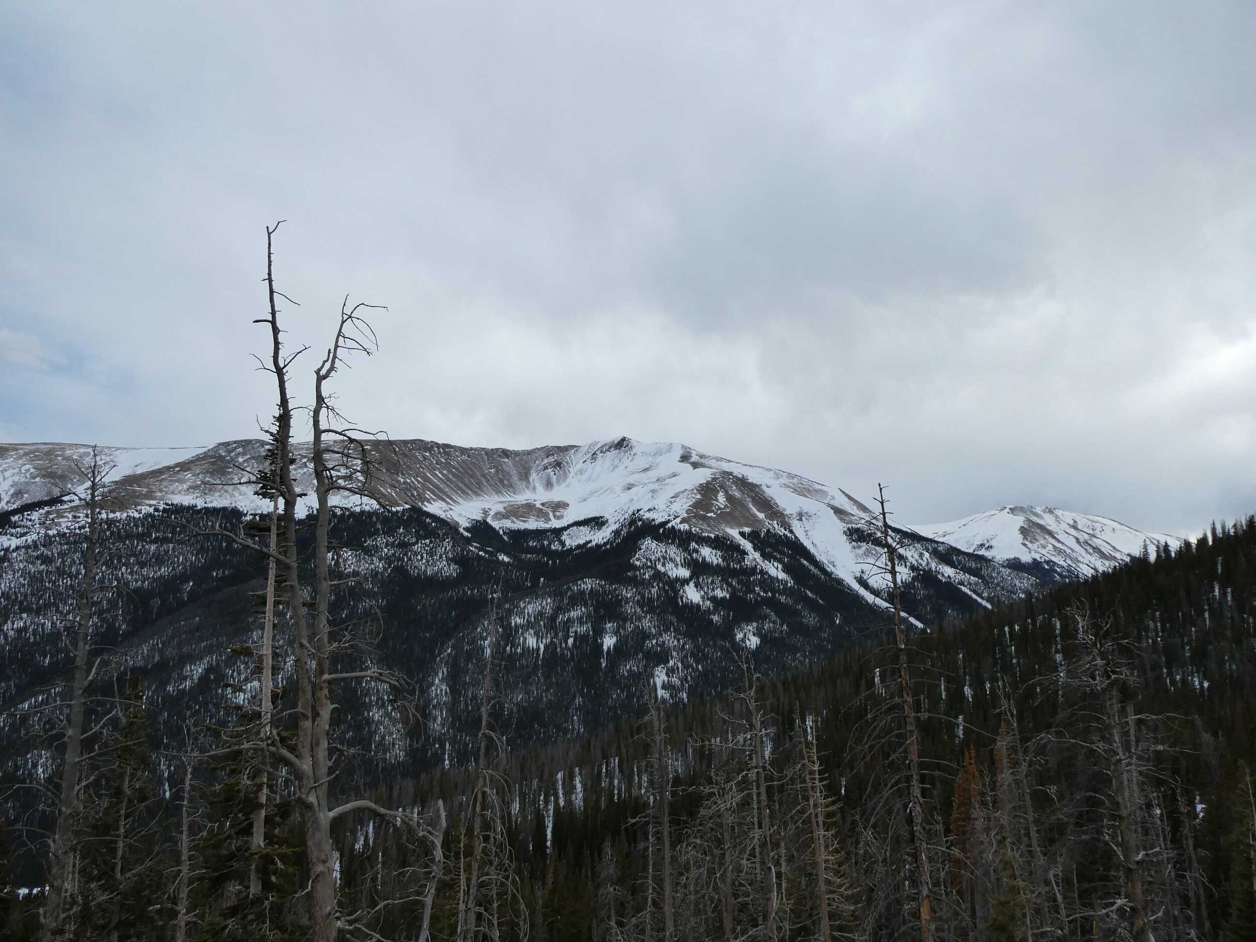
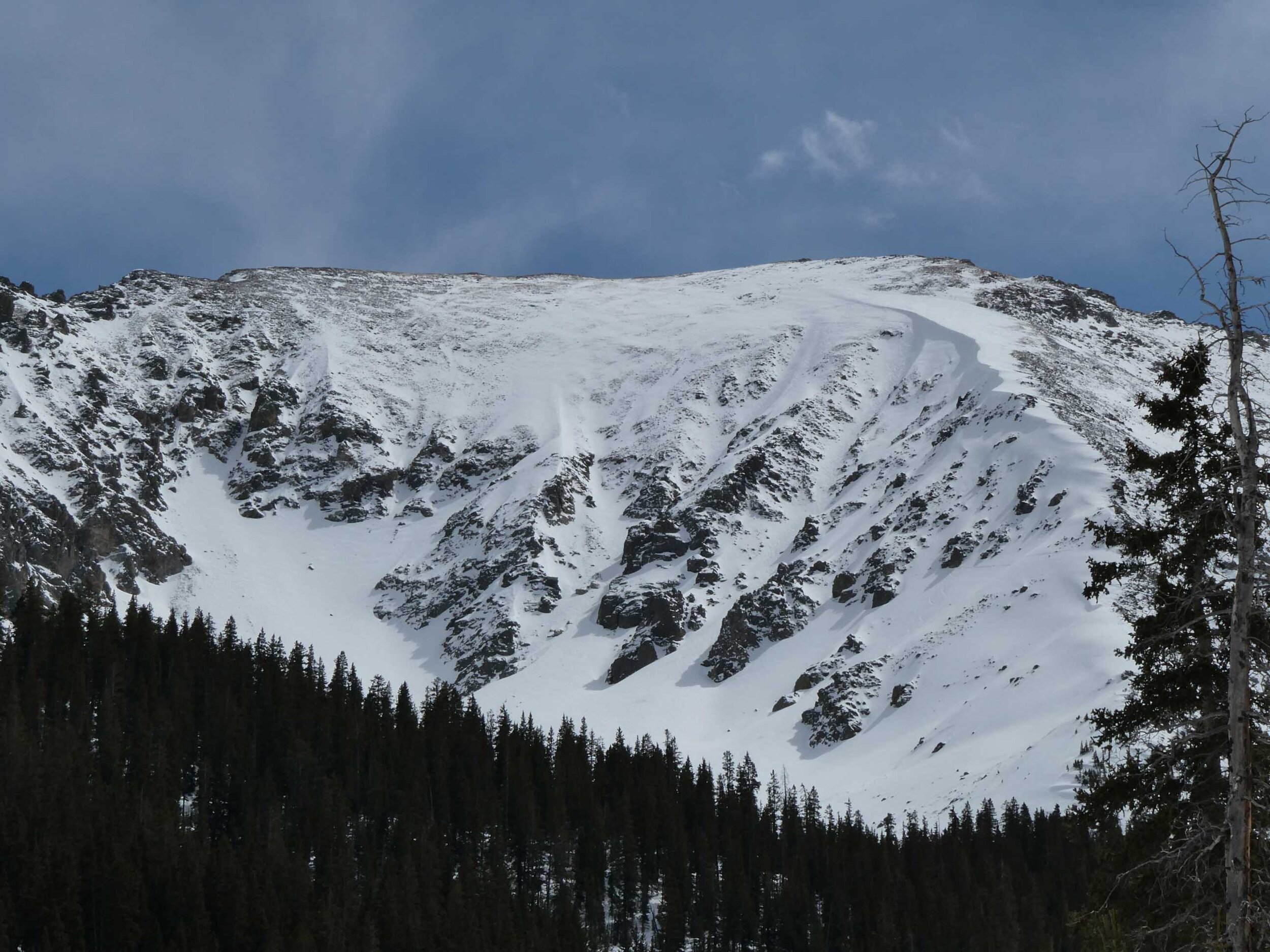
Hoosier Pass (March 17): No dust observed. Possible light dust at 2.3’ below surface with poly layer. Large areas above treeline completely scoured of snow. Soil dry and desiccated. SWE = 22.2”. Snow depth = 5.5’.
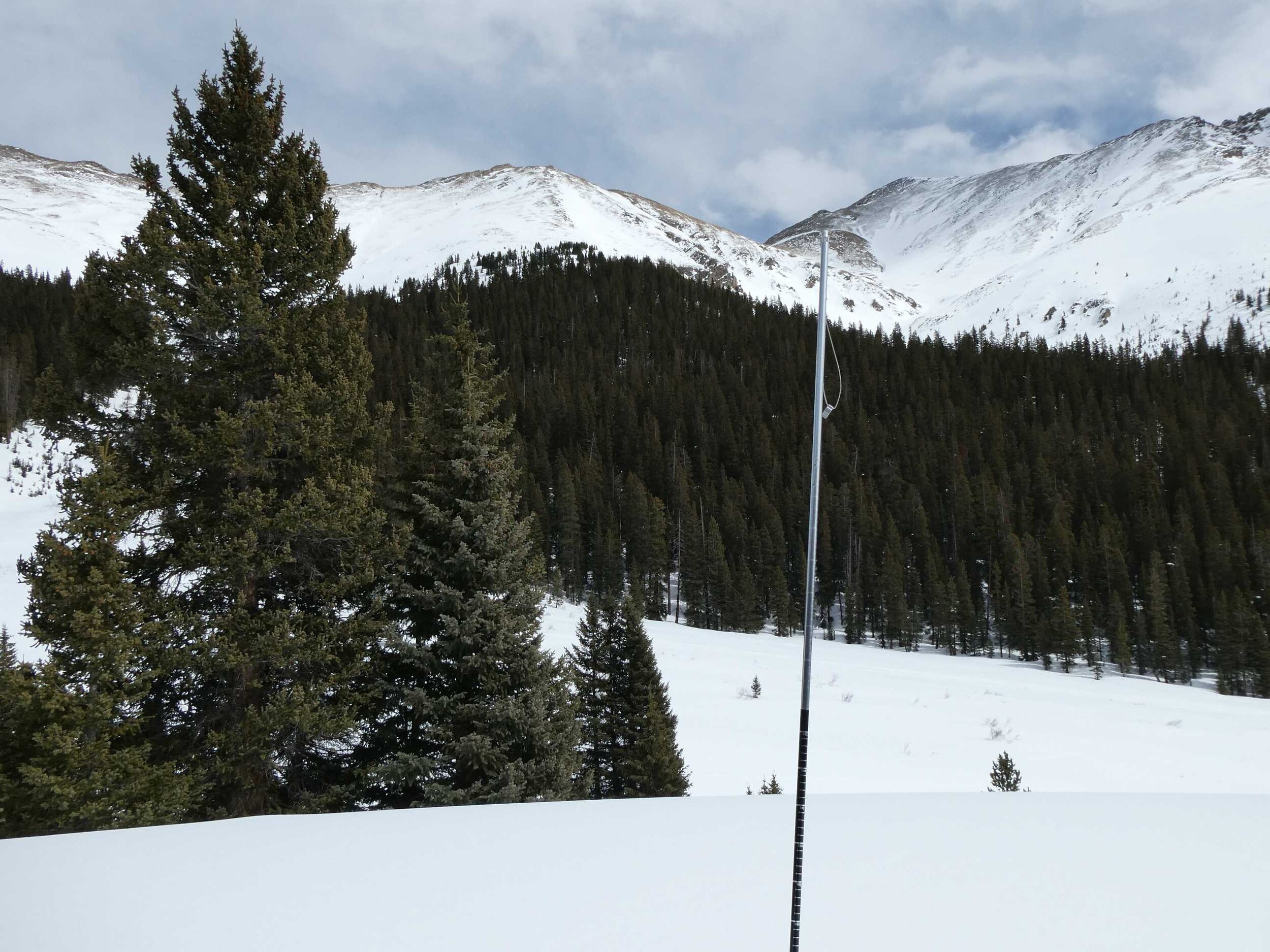
Loveland Pass (March 17): No dust observed. Possible very light dust at 2.0’ below snow on old surface layer. Some areas above treeline has thin scoured snow, some areas completely scoured of snow. Soil moist. SWE = 21.0”. Snow depth = 5.4’.
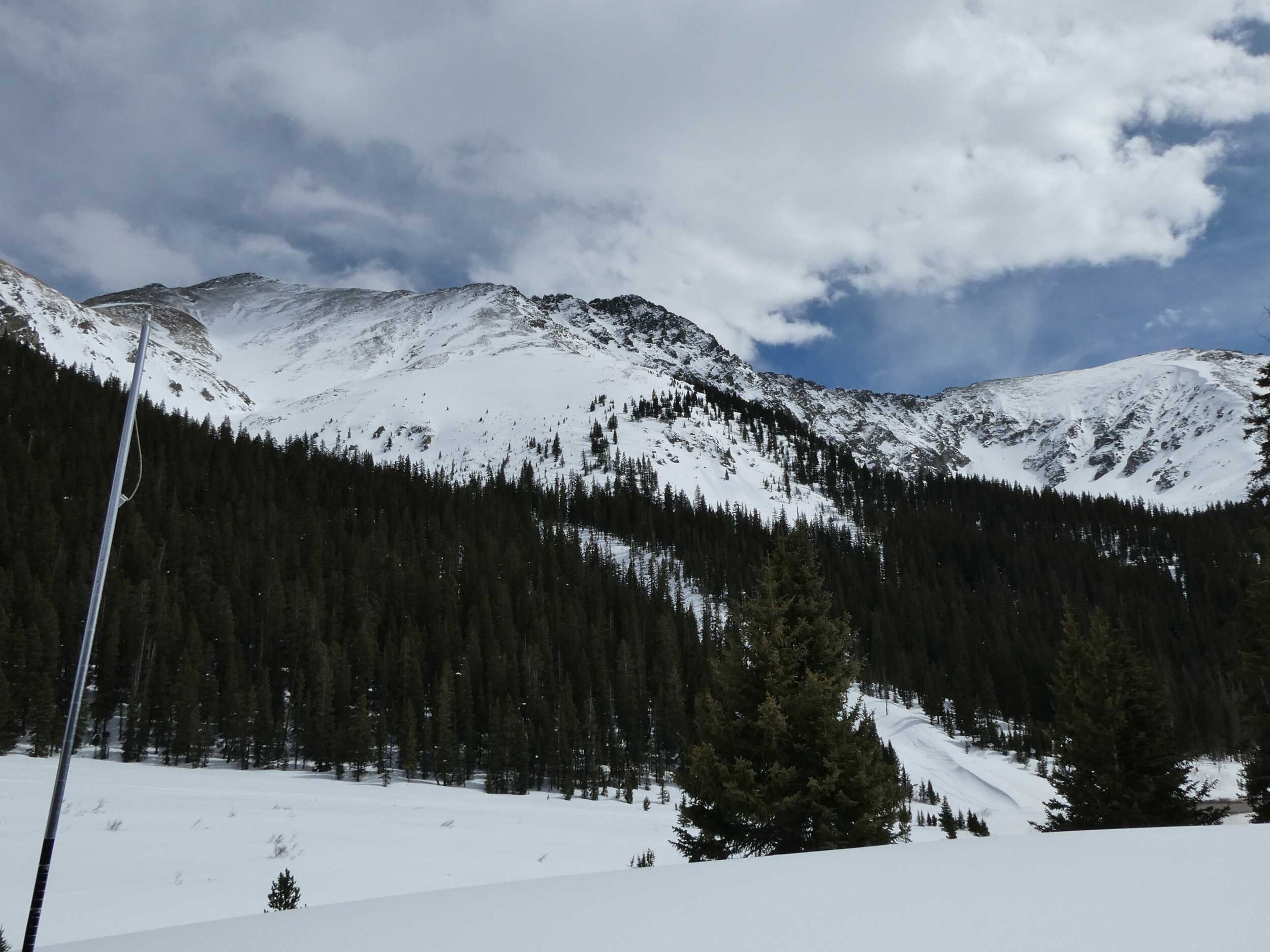
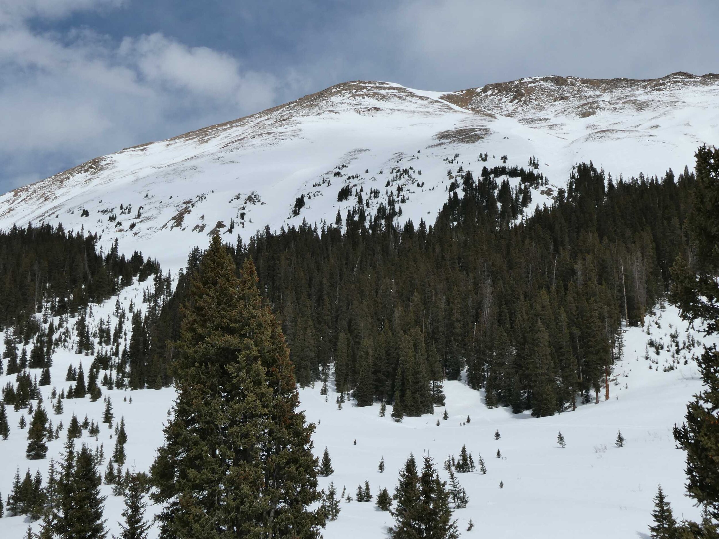
Berthoud Pass (March 17): No dust observed. Moist upper portion of snowpack. Large areas above treeline completely scoured of snow. SWE = 19.7”. Snowdepth = 5.4’.
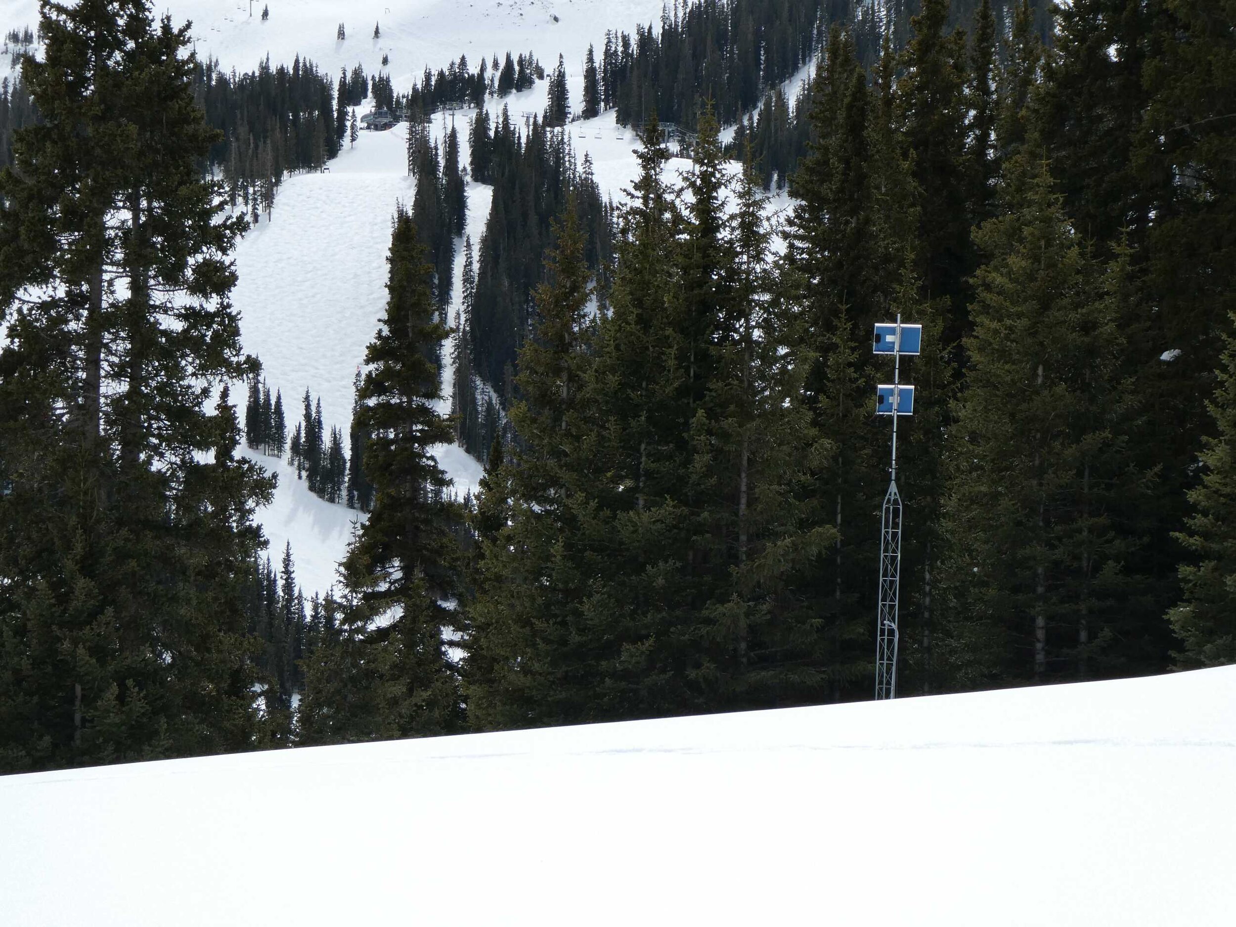
McClure Pass (March 16): No dust observed. The McClure site usually has a lot of surface debris from the surrounding forest, but we observed minimal debris on the March 17 visit. Snow depth = 3.0’. SWE = 12.5”. The snowpack was -0.2 degrees Celsius throughout.
WEATHER FORECAST
Last night and today Swamp Angel received 0.83” precipitation and 8.7” snow accumulation. Wolf Creek SNOTEL reports 1.2” precipitation and 14” accumulation. This storm and the precip in the forecast over the next few days will go a long way towards inching the Southern Basins closer to median snowpack. The Front Range has received some nice rain last night and today, giving the trees a drink as we go into spring, which is now turning to snow. The forecast calls for this series of precipitation to end Sunday morning, but starting Monday going through Monday night another pulse is expected to come through the region. This active weather is just what we needed.
CODOS Snowpack Summary Table

CODOS snowpack observations and SNOTEL data for comparison. Note that CODOS sampling is done near SNOTEL stations but usually in slightly more open areas to observe regional dust-on-snow conditions, compared to SNOTEL stations which are typically located in more closed canopy. A notable exception is Berthoud SNOTEL.
Swamp Angel Study Plot
McClure Pass
Loveland Pass
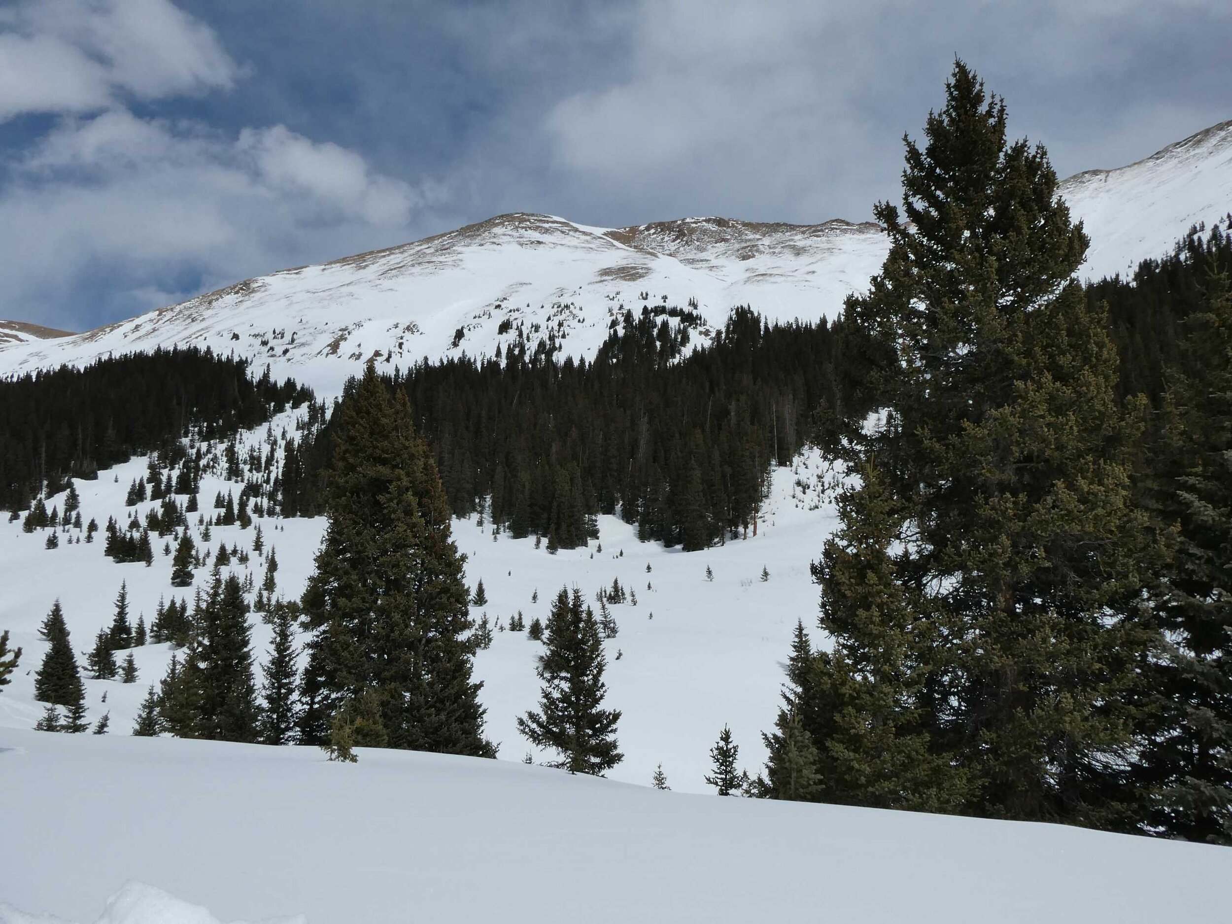
Hoosier Pass
Berthoud Pass