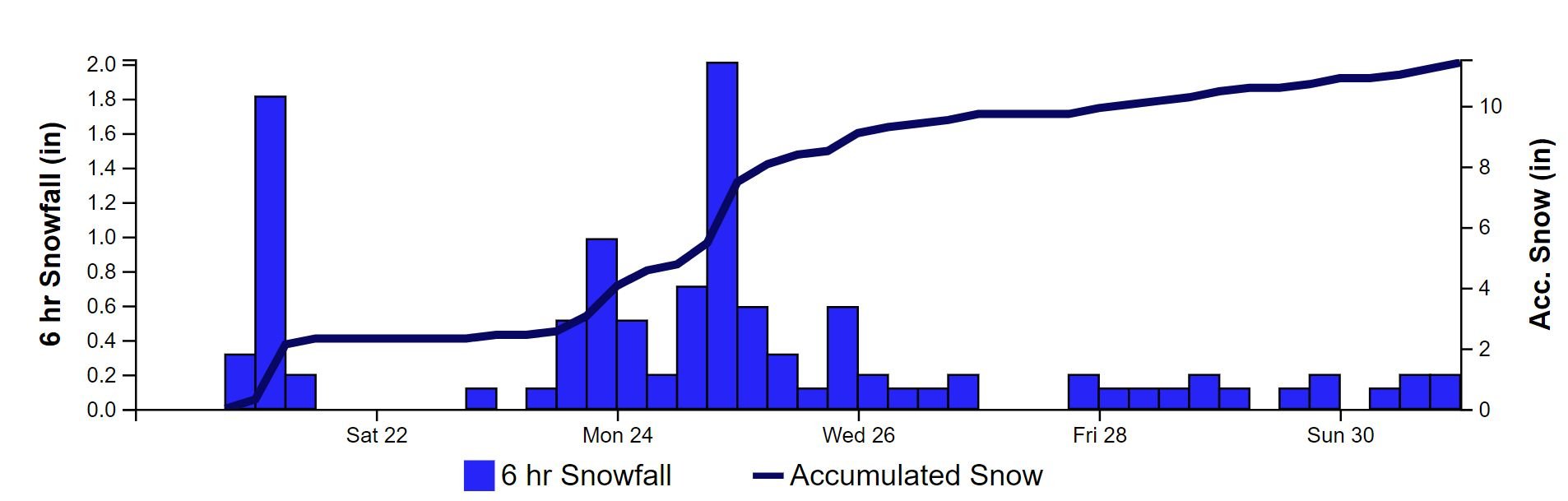
CODOS UPDATE April 21: Observations at Southern Sites
Greetings from Silverton,
Dust Event #6: On April 18 going into April 19 we received dust event #6 (D6) of the season. The CODOS team was in the region of Grand Mesa at the time and saw a lot of airborne dust. The dust that occurred April 18 fell on the dust from the April 3 event. This will be the story for any additional dust events this season. If we get a bit of snow it may separate and/or cover layers temporarily. Below is a satellite image of the dust event.
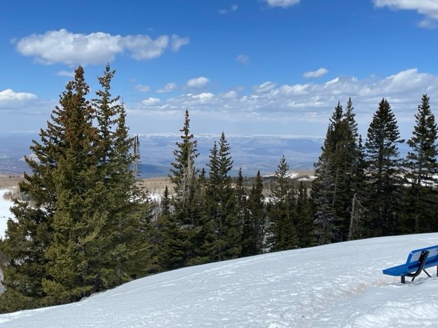
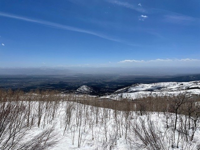
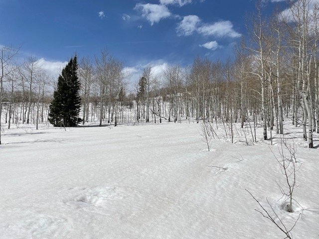
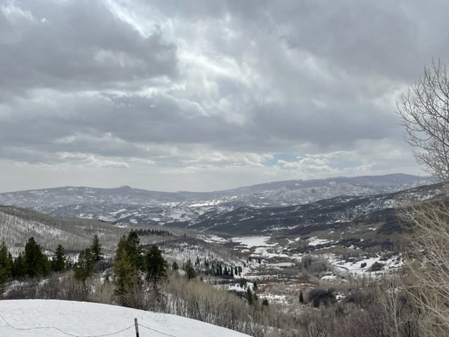
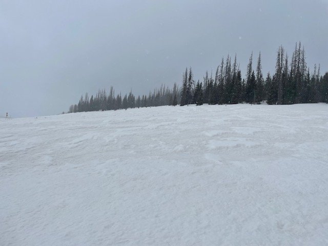
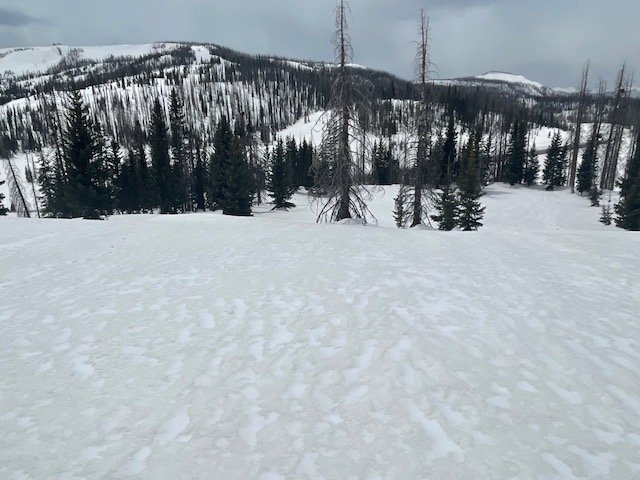
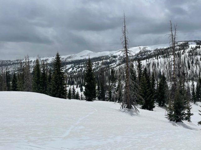
CODOS Tour April 18/19: I am keeping this update short. I want to be speedy about getting the information out while it is relevant but also the message is the same as the previous couple updates. The gist, a couple of widespread nasty dust events hit the Colorado Mountains on peak snowpack and now we gotta endure the repercussions the remainder of snowmelt season. The CODOS team visited Grand Mesa, McClure, Park Cone, Spring Creek, and Wolf Creek, completing the CODOS circuit for the month of April. On April 18 a few areas like Grand Mesa and San Juans received a few inches of snow providing that temporary albedo reset. The location that had the most severe dust was Grand Mesa, followed closely by Rio Grande and then the rest of the sites. The forecast has been a bit confusing, but it looks like light precip will trickle in over the next few days, perhaps keeping a lid on an intense warm-up?
Take Care,
Jeff Derry
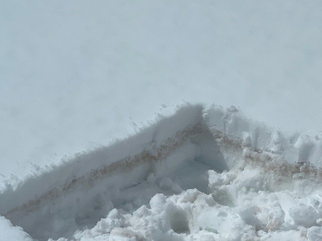
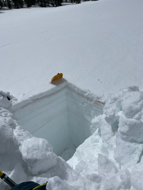
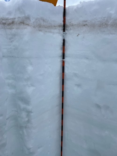
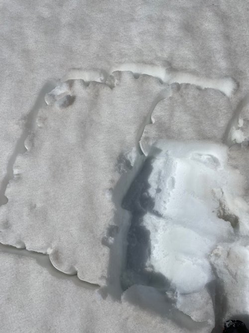
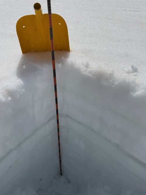
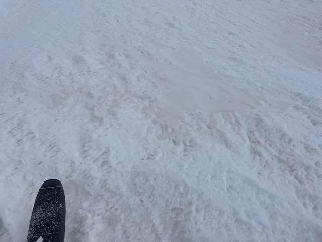
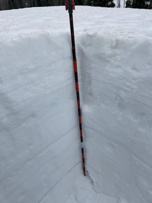
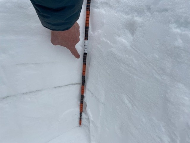
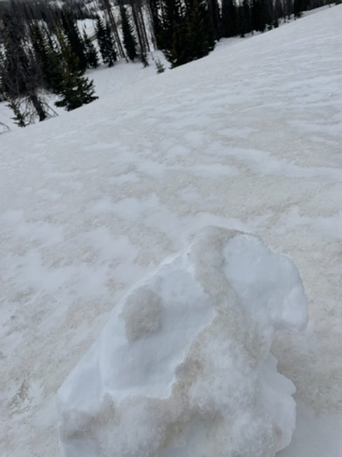
Grand Mesa: Dust on April 18 was a few inches below surface at the sample location. April 18 a few inches of snow fell on Grand Mesa providing temporary coverage on top of dust in photo plus whatever dust was deposited as well. There is another dust layer about mid-pack. This is one of the most dust impacted areas in Colorado as of right now. When this top bit of snow melts down to these layers and we get some sunny days we will see some big spikes in the hydrograph. The snowpack is isothermal. Snow profile SWE was 34.4”, while at Mesa Lake SNOTEL 24” was being reported.
McClure Pass: Dust is pretty bad at McClure. The Roaring Fork in general is pretty bad off from the April 3 event (see previous updates). SWE at the profile was 25”, and at McClure SNOTEL a few feet away was 26.2”. Snowpack is isothermal.
Park Cone: For whatever reason - aspect, mountain orientation, channeled winds - Park Cone usually never sees much dust deposition. The visit April 18 showed moderate dust at the surface, but nearby at locations like Crested Butte the dust is prevalent and pretty severe. The snowpack was isothermal. We got to the site late and ran out of daylight so SWE measurements were not collected.

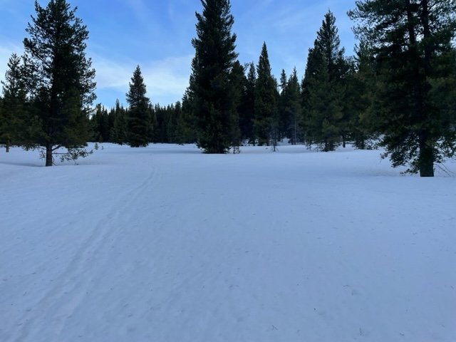

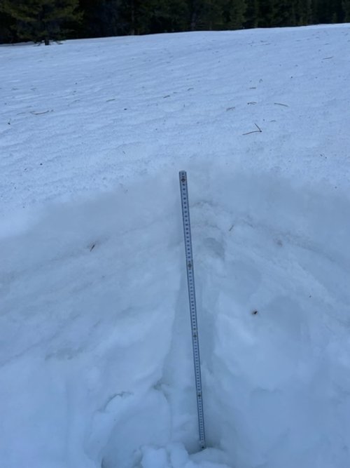
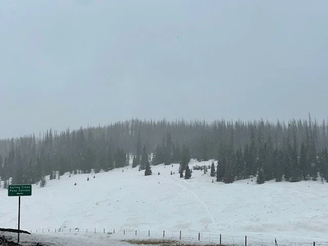
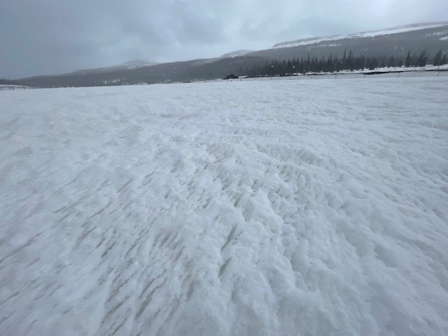
Spring Creek: The snow profile contained 8.8” of SWE. The closest SNOTEL, Slumgullion, showed 11.1” SWE. Snowpack isothermal. Dust prevalent and abundant at the surface.


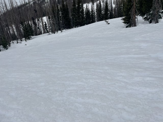
Wolf Creek Pass: As is typical, Wolf Creek showed pretty severe dust, second only to Grand Mesa. Majority of dust is on surface with a few bands of dust at various depths below surface. See profile forms from March and April for a comprehensive snapshot.


Below: Satellite showing the April 18 dust event making its way to Colorado (bright pink). Similar to the April 3 dust event, dust was kicked up in the San Luis Valley as well.