CODOS Update April 21, 2022: Statewide Obs, Dust Widespread, at Surface
Greetings from Silverton,
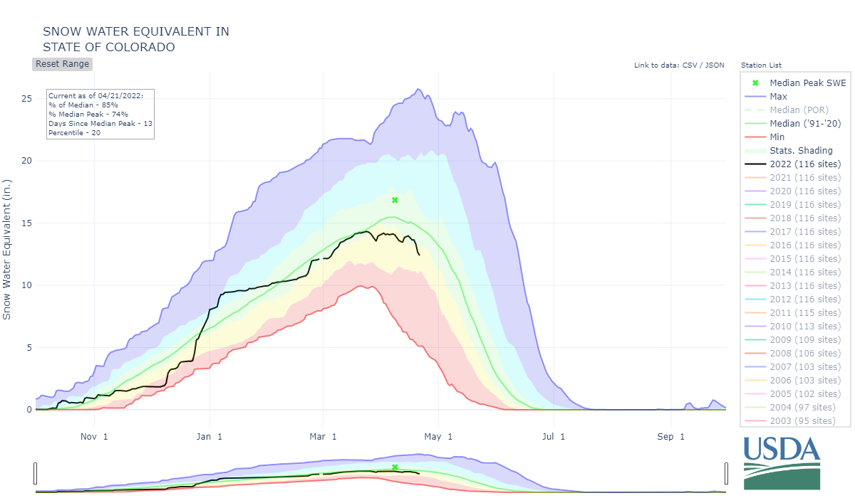
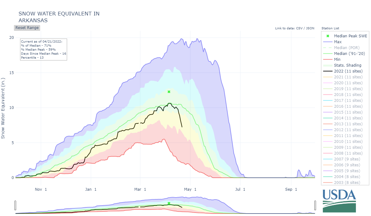
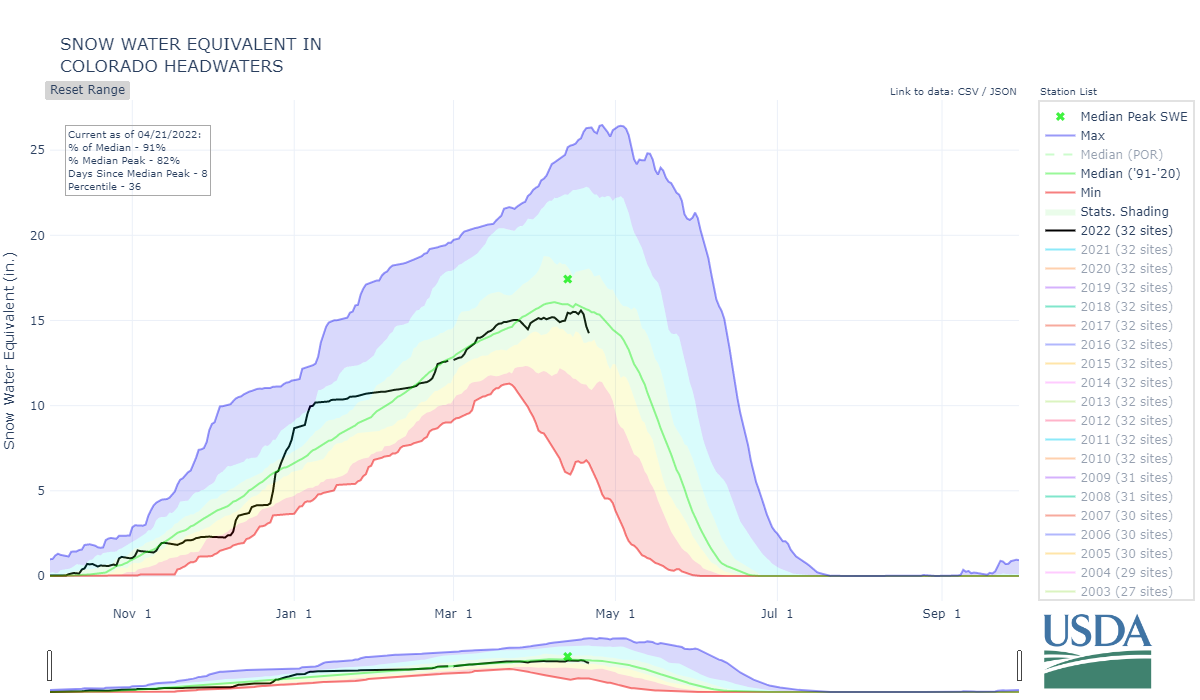
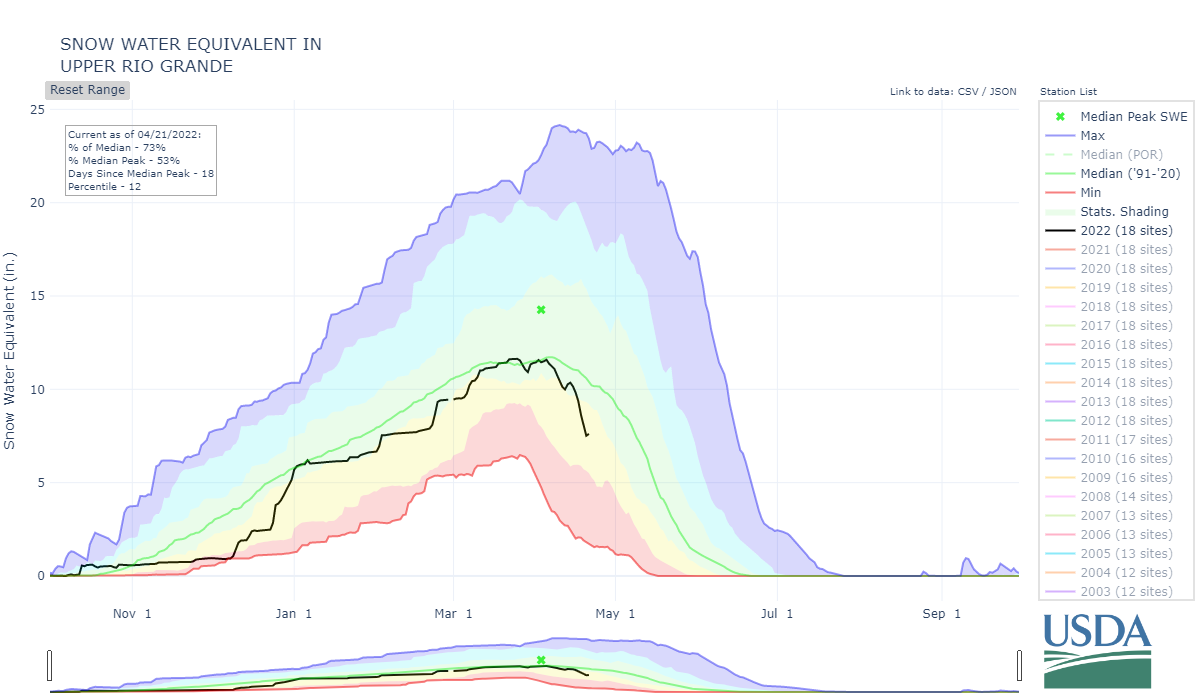
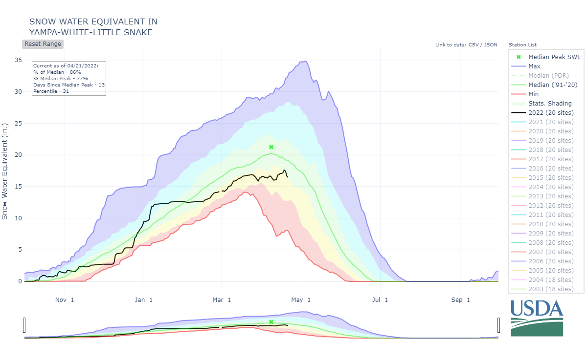
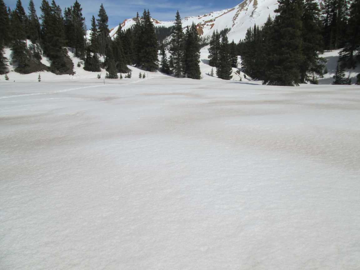
We conducted the statewide Colorado Dust-on-Snow tour April 16-19 documenting dust presence and severity as well as snowpack conditions. Significant dust, more than what we have seen in recent years, is essentially at snow surface throughout the state. The result is rapid melt of the snowpack and we are already seeing that affect underway in the SNOTEL data particularly out of the southern basins and lower elevation stations.
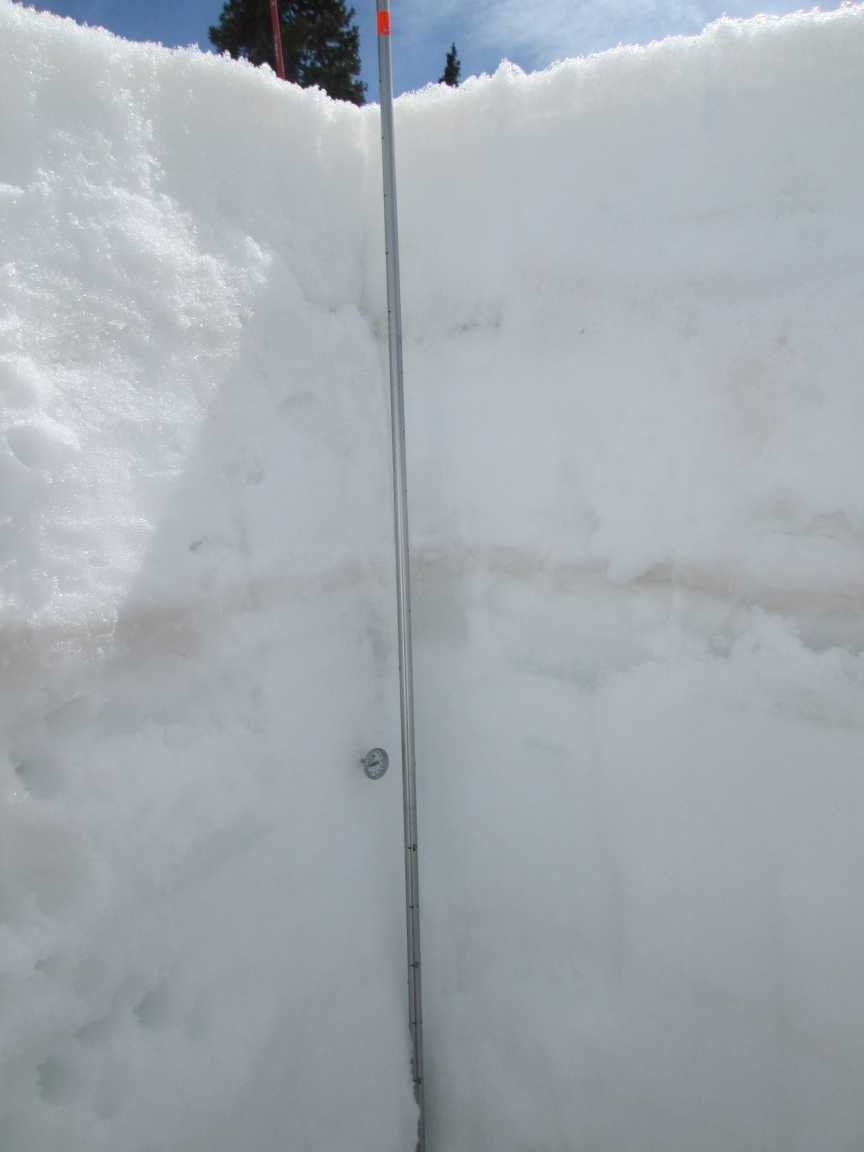
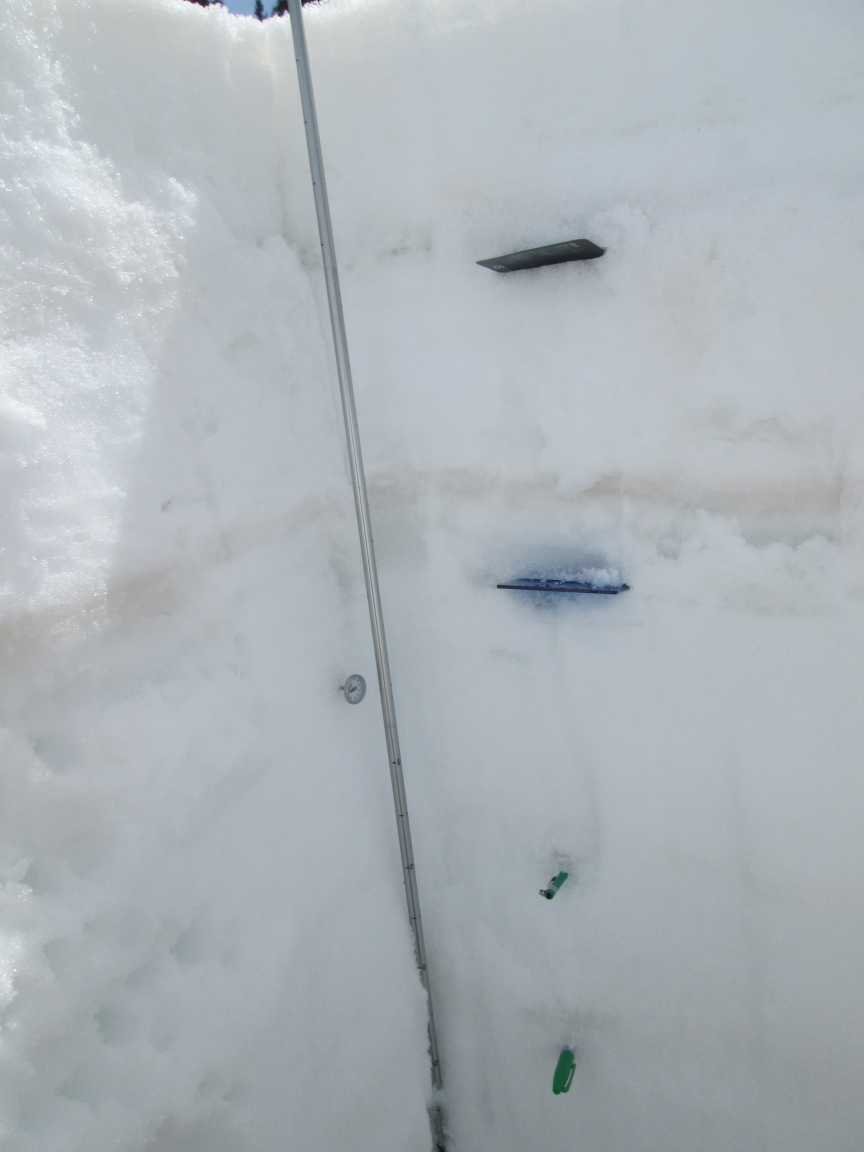
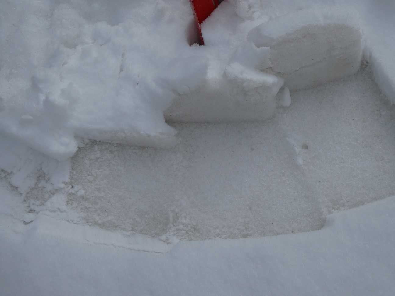
At most sites the surface dust is a consolidation of a few layers. Another stark dust layer exists lower down in the pack at Swamp Angel, Wolf Cr, and Grand Mesa. Locations like Park Cone, Spring Creek, and Willow Creek Pass which typically have subdued dust conditions compared to their watershed as a whole are showing notably more dust. Locations like Wolf Creek Pass, Swamp Angel, McClure, and Berthoud, usually have more dust than their sister sites mentioned above and tend to be a good average of conditions of their respective watersheds, are showing heavy dust. Hoosier has the least dust followed by Loveland Pass, which may look light initially, but the dust is in a diffuse ~5” layer 7” below surface. Our visit to the codos sites came after a light precipitation event in much of the Colorado Mts. Visiting all the sites and writing this codos update takes a few days, so by now I would expect dust near surface or fully exposed at all sites except Rabbits Ears (3” SWE on dust layer), Loveland, and Berthoud. But even at Berthoud and Loveland the dust would be exerting an influence from just under the near-surface. We observed the higher elevation snowpack as being mostly moist throughout and wet near surface. These sites (Berthoud/Hoosier/Rabbit Ears/Loveland) have approximately a degree C of warming remaining before being isothermal. With notable surface dust it won’t take long for these areas to join the lower elevations in contributing to runoff.
Significant dust coupled with persistent dry wind and warm conditions doesn’t give the snowpack much of a chance against rapid ablation. The soils are suffering very dry conditions which will affect runoff efficiency. Since April 1 a couple spring storms have offered only a short reprieve. The forecast starting Friday going thru Sunday is calling for rain/snow (maybe provide 1-2 day albedo reset?) and thankfully nighttime temperatures dipping below freezing, tapping the brakes on daytime snowmelt for a few days. So starting Saturday, given a few inches of accumulation, I would expect a minimal albedo reset to a cleaner surface. Combined with below 0 temperatures streamflow intensity should lessen for a couple days. Starting next week sunny conditions return putting the heat on the snowpack, but it looks like minimum temps below 0 may continue in the high, high country.
The dust events are far from over. Last night we received another event (#6), adding to dust layer #5 already on surface in the San Juan’s. And with the high winds there is dust in the NWS forecast from Arizona to Eastern Colorado Thursday/Friday before hopefully precip arriving Friday afternoon.
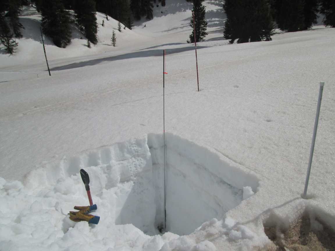
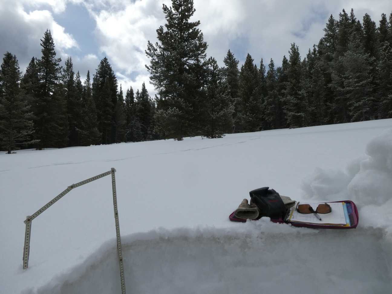
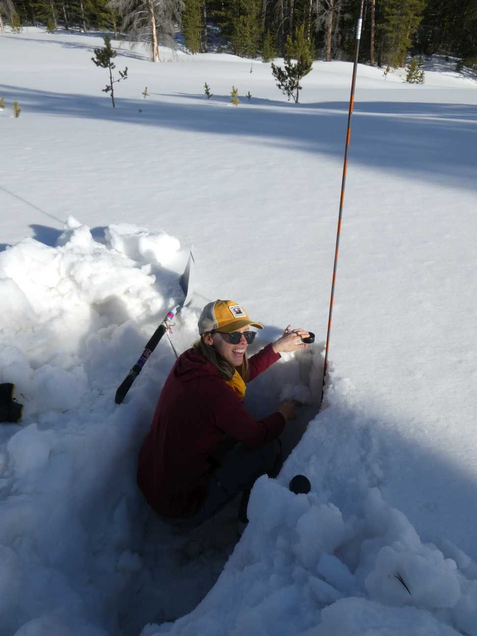
A summary for each CODOS site is below. If you want more details, please see snow profile forms here. If you have questions about our observations in your basin feel free to email or call the CSAS office with questions.
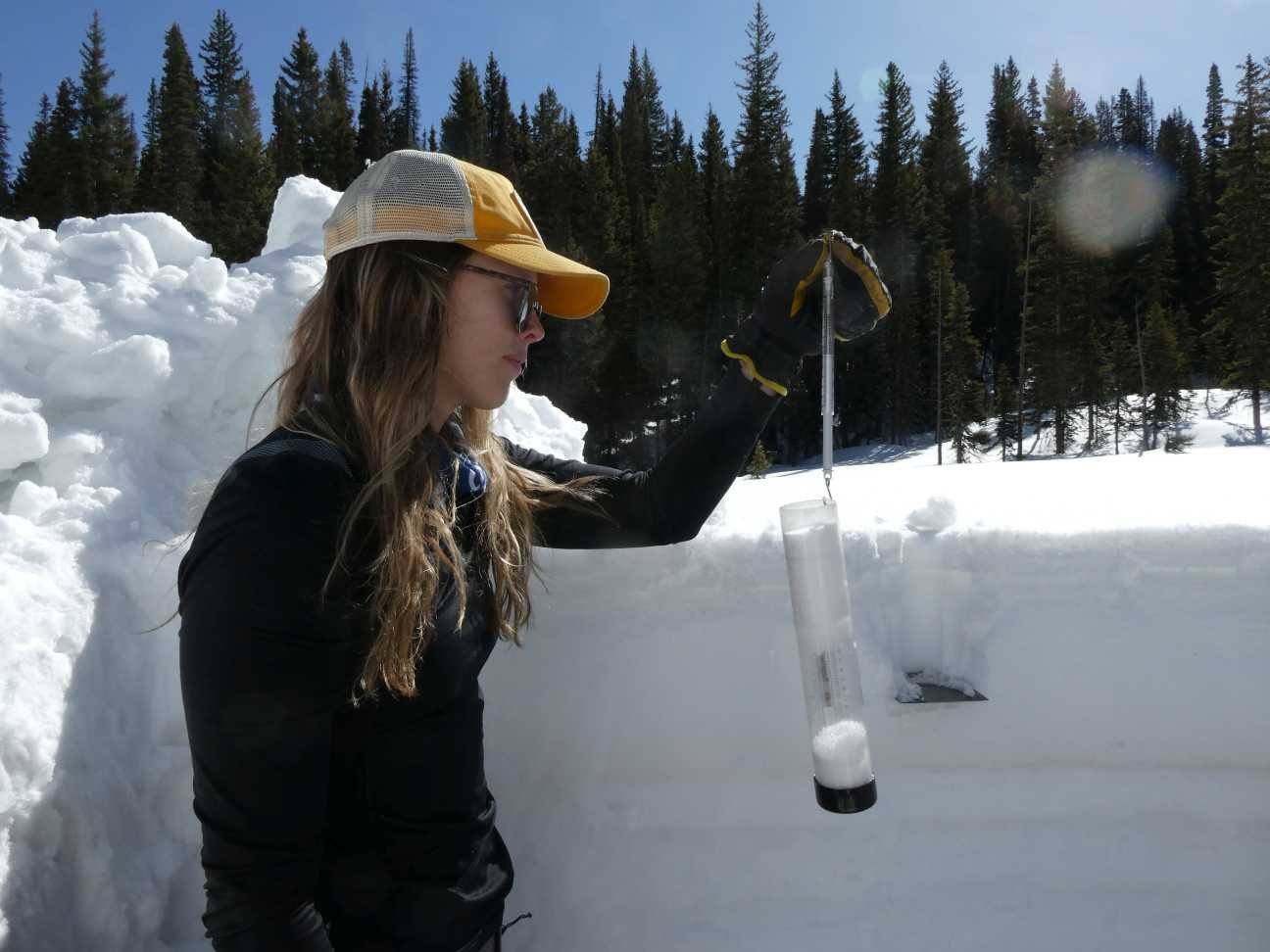
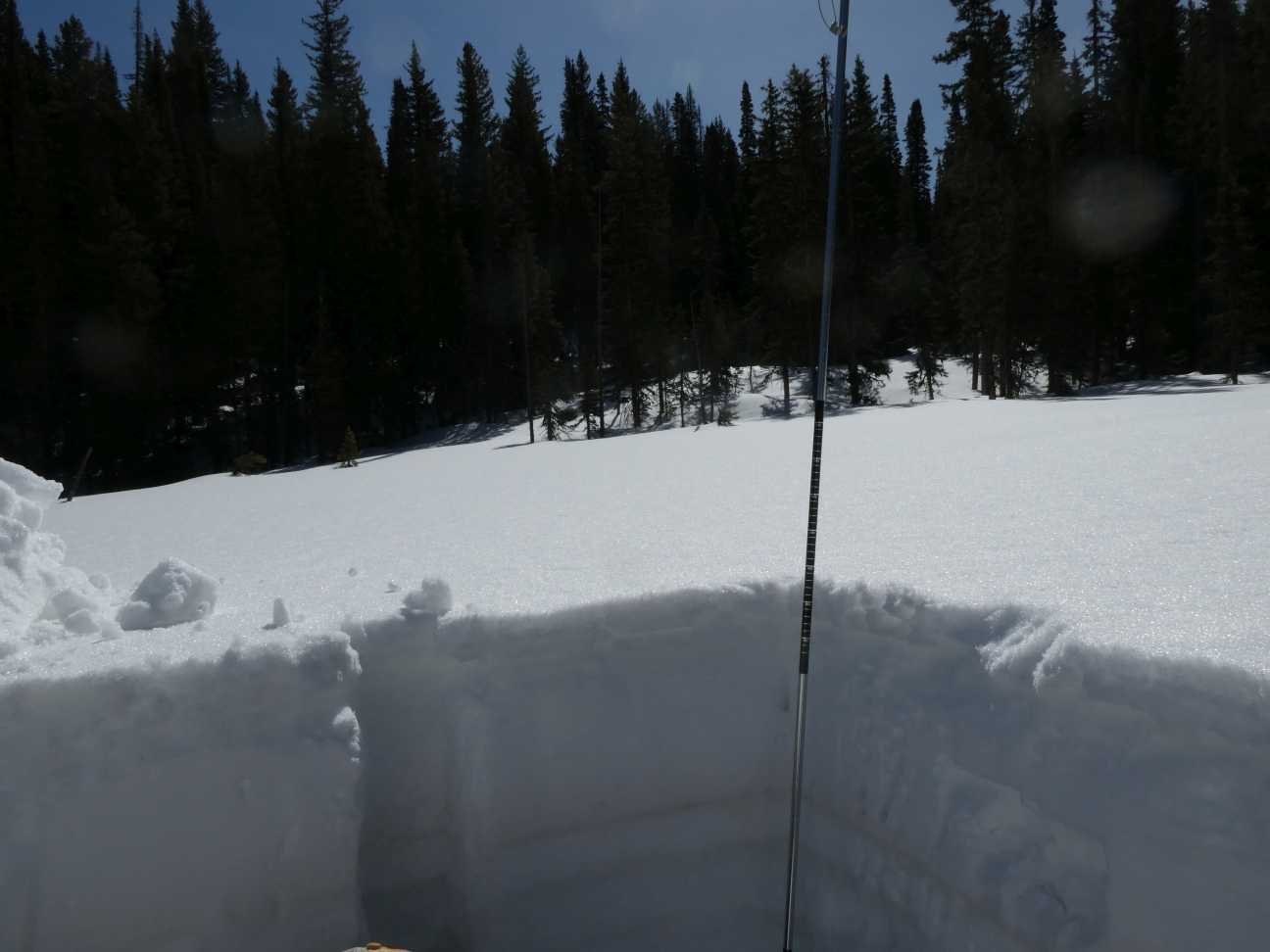
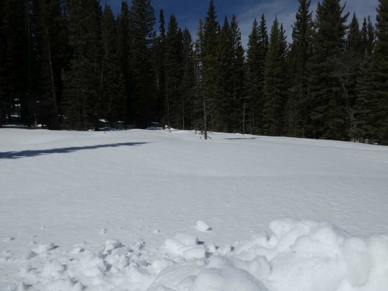
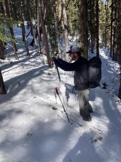
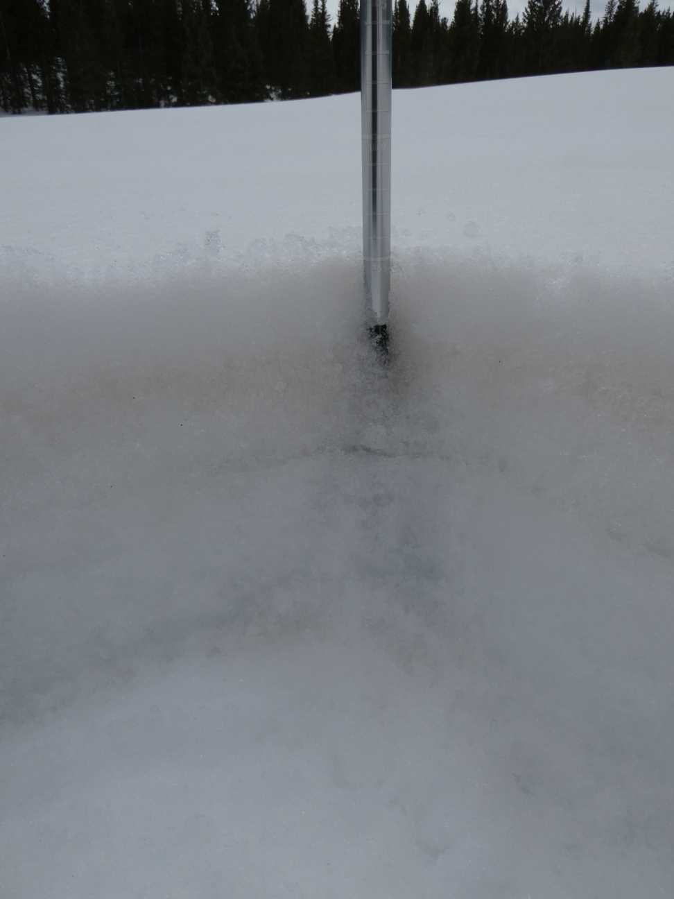
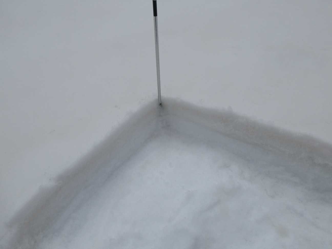
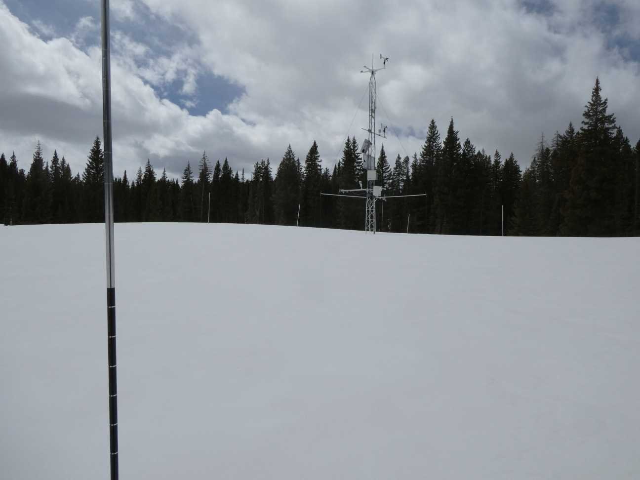
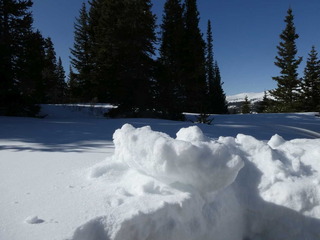
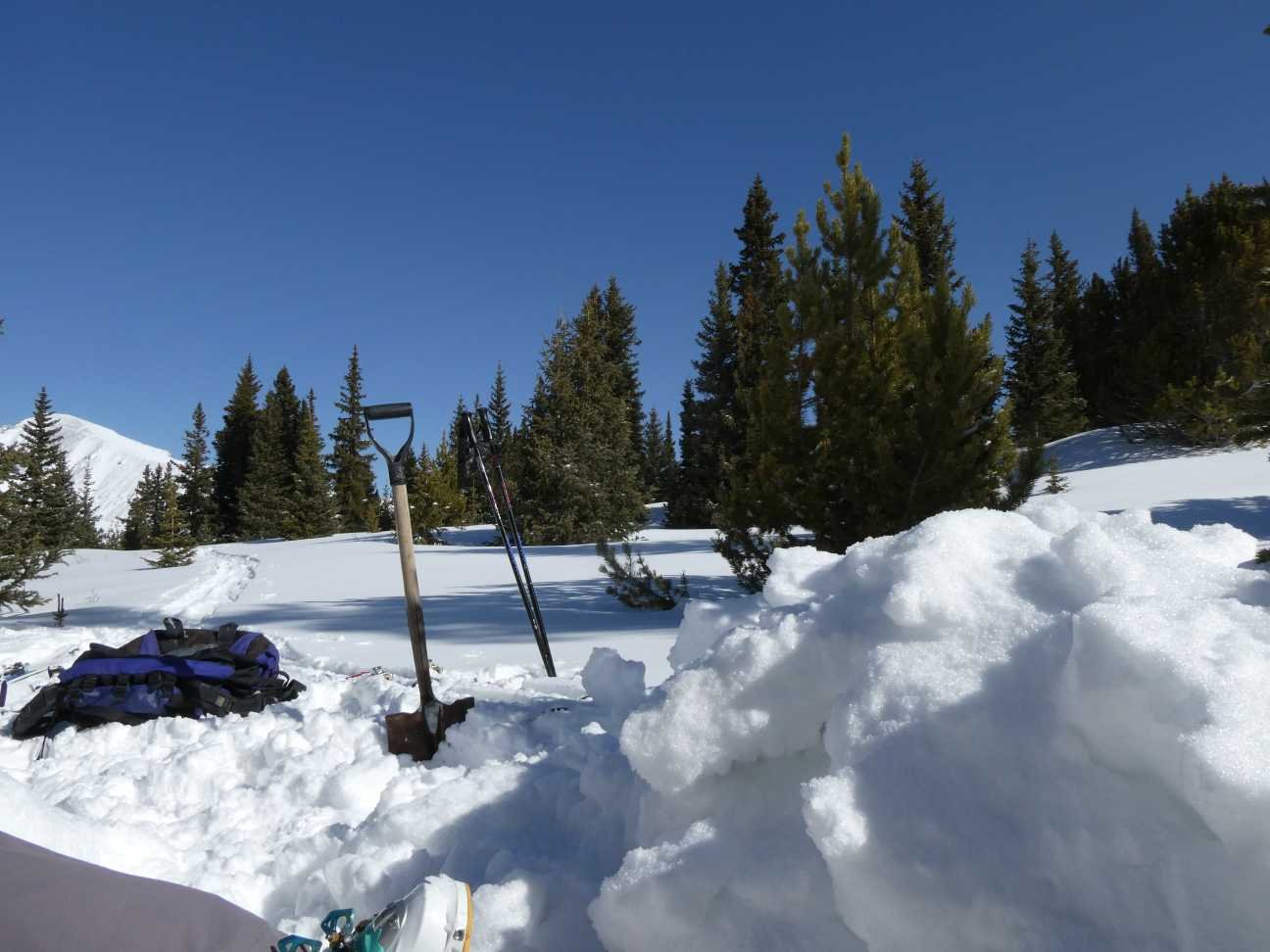
Please see pictures from each monitoring site below along with brief notes of our observations.
Take Care,
Jeff Derry

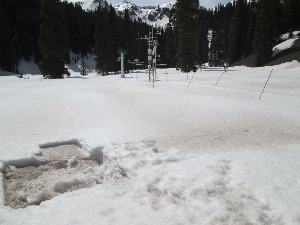
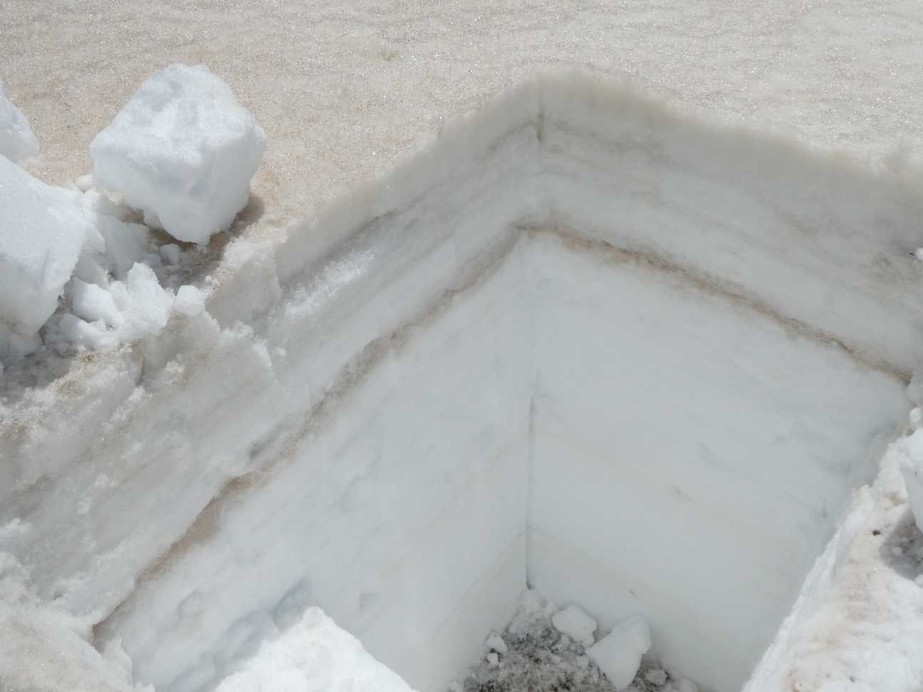
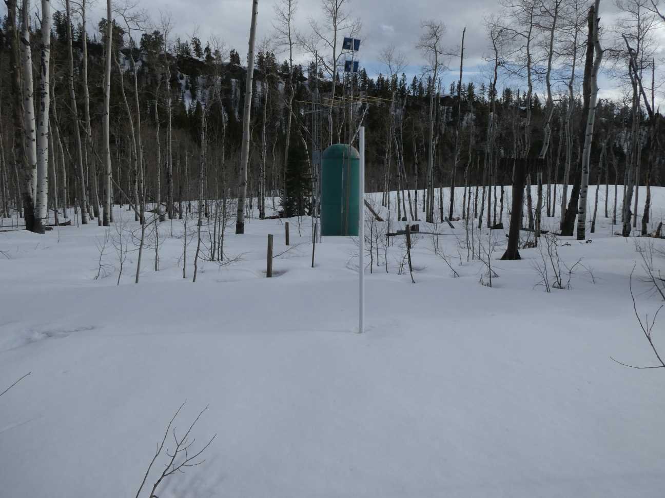
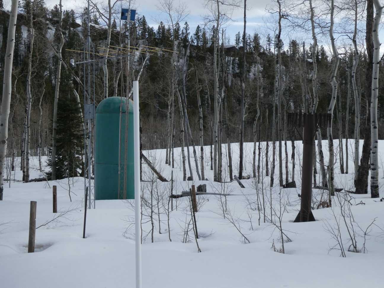
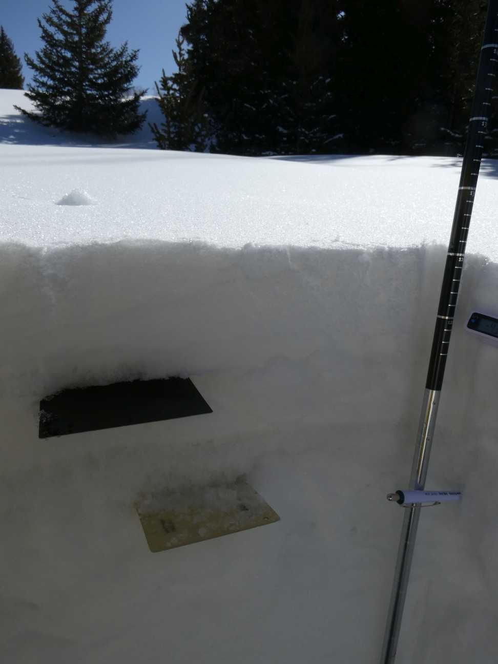
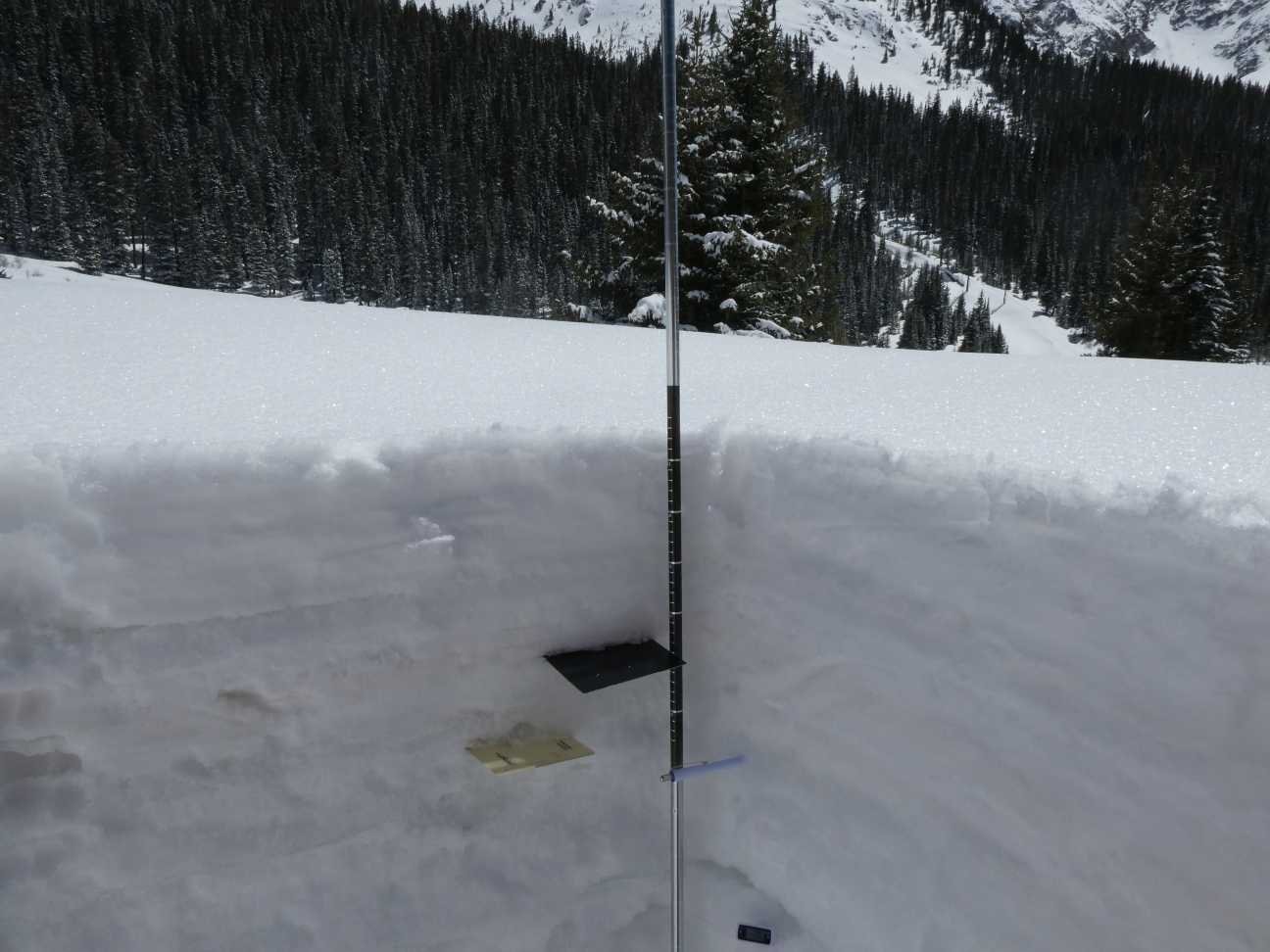
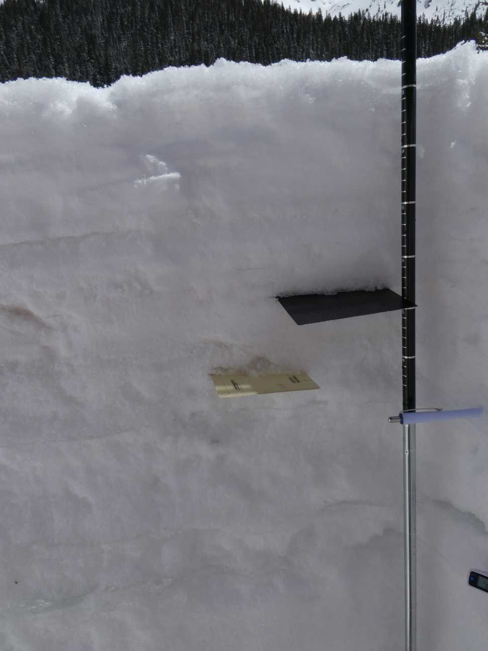
SWAMP ANGEL (Red Mt Pass): April 20
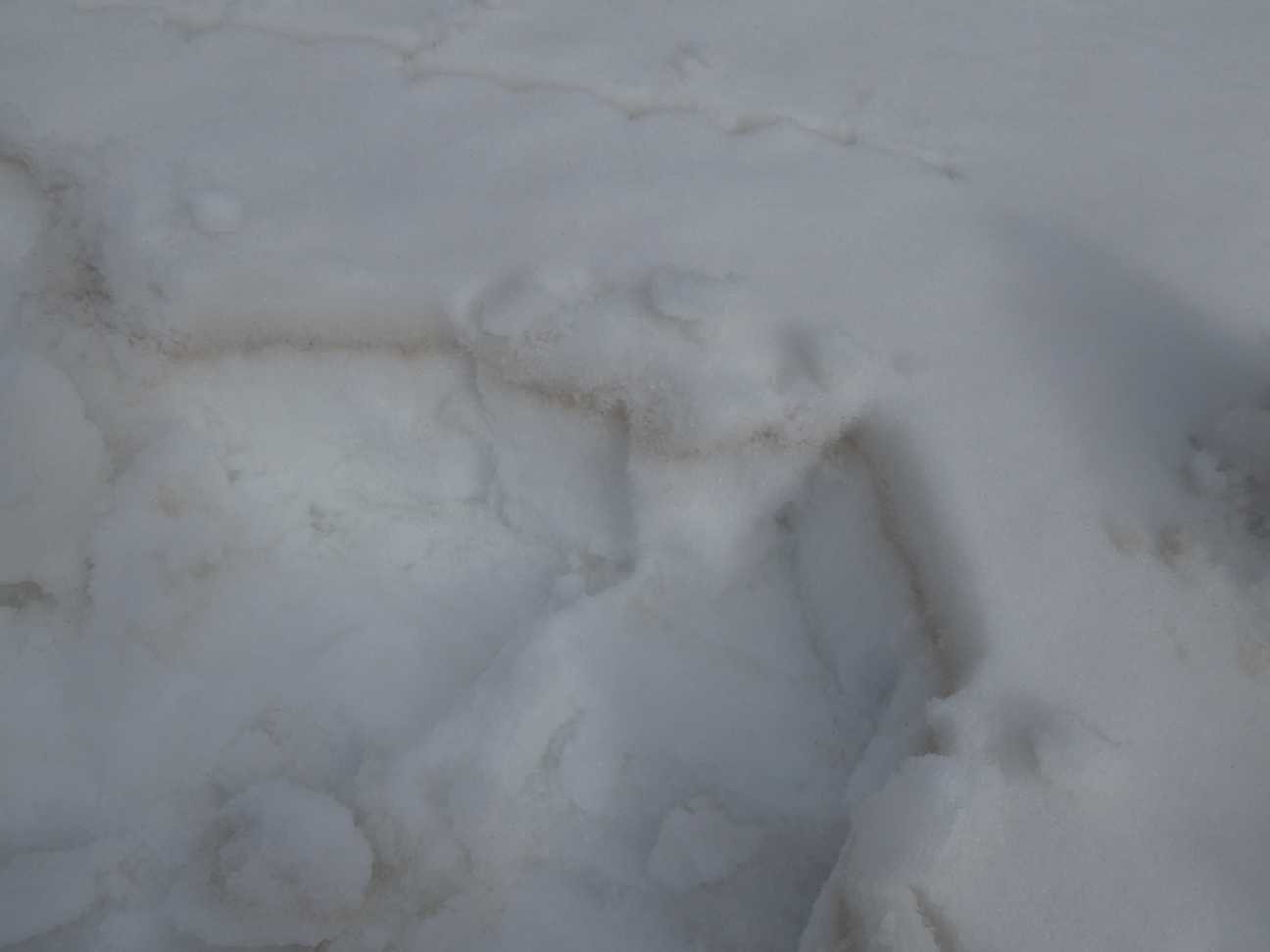
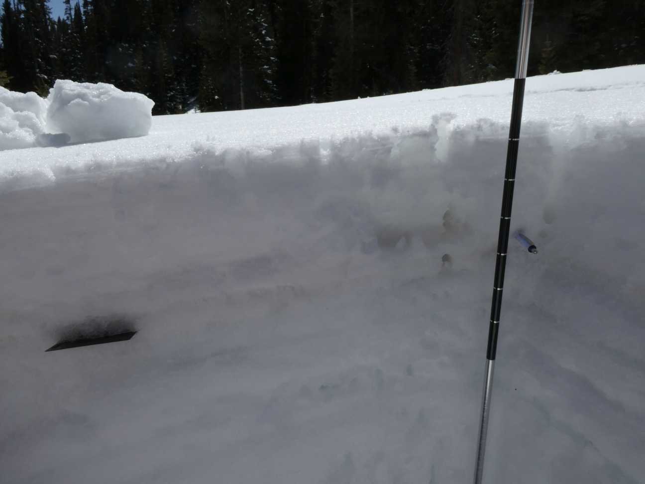
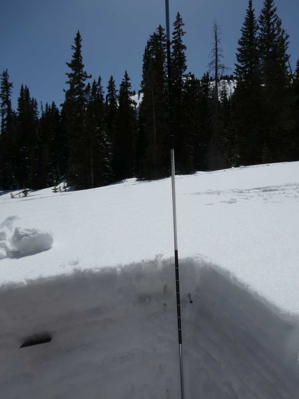
On April 20 we measured 20” SWE at Swamp Angel. Nearby Red Mt SNOTEL reports 19”. Dust event #5 and #6 (the recent event occurring April 19) are on the surface of the snowpack, making for a very dirty snow surface throughout the San Juan Mts. There is 7.3” SWE (17.7” depth) over D3, the next very dirty layer in the snow profile. The snowpack is moist and isothermal.
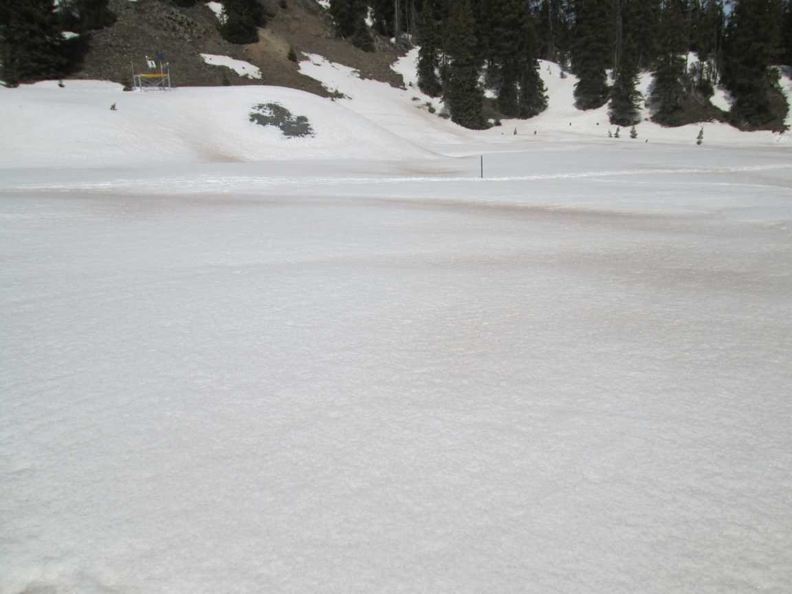
WOLF CREEK PASS: APRIL 16
Wolf Creek and the surrounding region has the worst dust conditions in the state. All of the dust events since March are on the surface and the D2 event that struck Feb 26 is ~1’ beneath the surface - a very heavy dark layer. The surface dust is already bad, when D2 joins the top layer dust-on-snow conditions will be “max” severity. And I think we will receive more dust events in the short term. SWE plots show a dramatic (unbelievable looking at Wolf Cr SNOTEL?) decrease in SWE (see SNOTEL table below) and streamflows have spiked since we reported dirty D5 event deposited on April 11 and the precipitation event clearing out the end of last week. The snowpack at Wolf Cr is isothermal, very moist, and close to rapid melt at that elevation band (11,000’).

Wolf Creek SNOTEL showed a 5” decrease April 16-17, after the dust had a chance to cook the pack a bit and minimum temperatures warmed up.
SPRING CREEK PASS: April 16
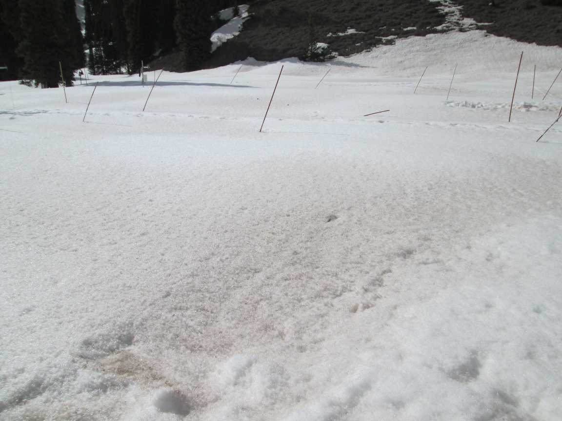
Spring Creek was an almost slushy snowpack where I post holed traveling to site. Measured SWE was 5” while at Slumgullion, being a bit far from the codos site, reported 10” SWE. Dust was on and very near surface and very apparent on landscape. I estimate being the upper end of moderate severity.
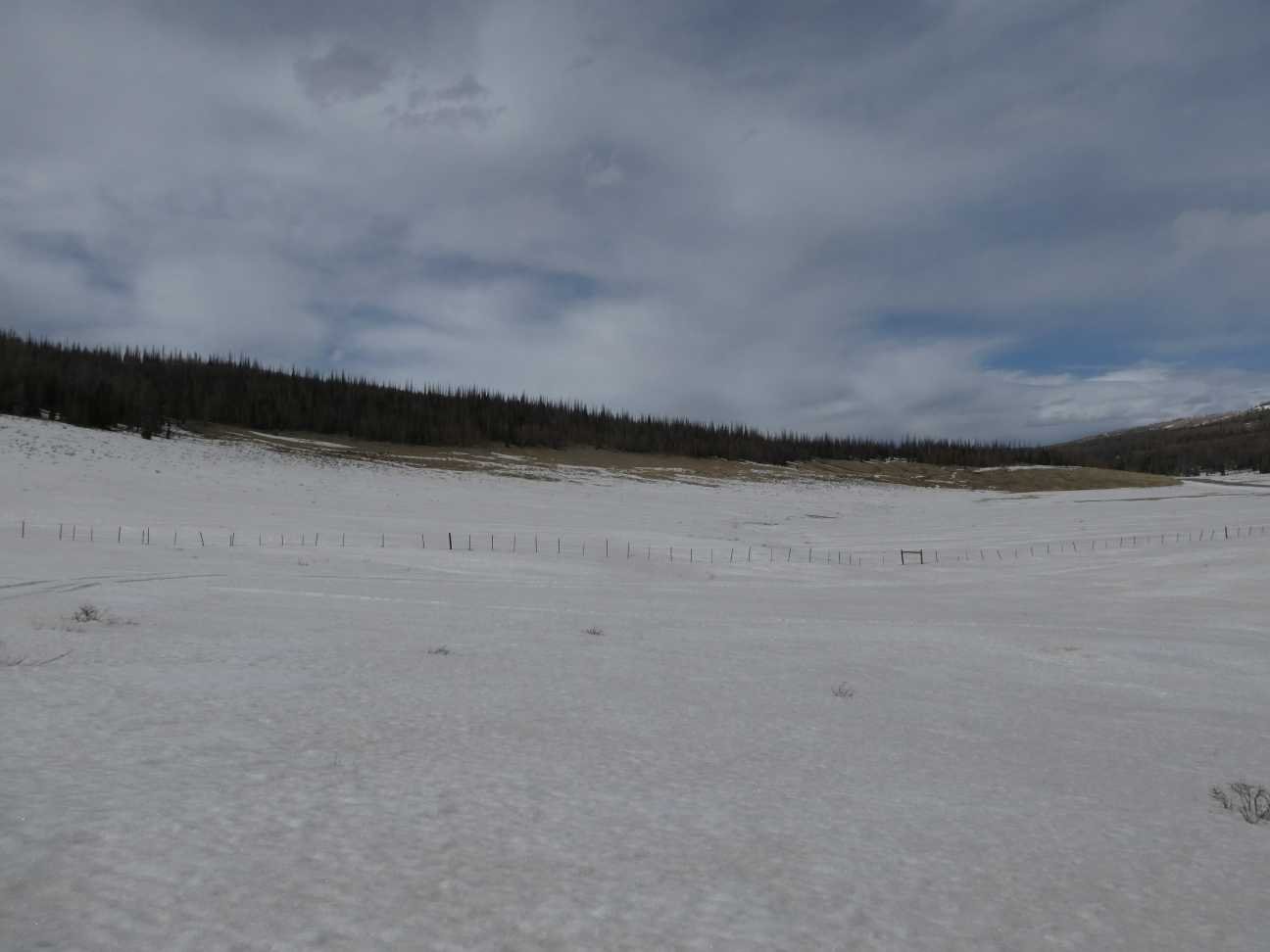
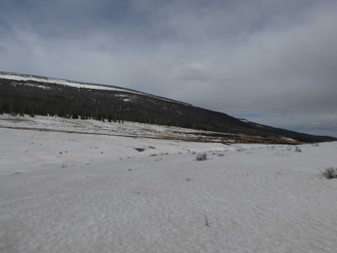
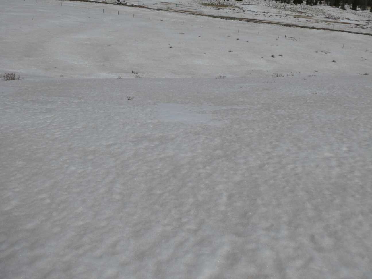
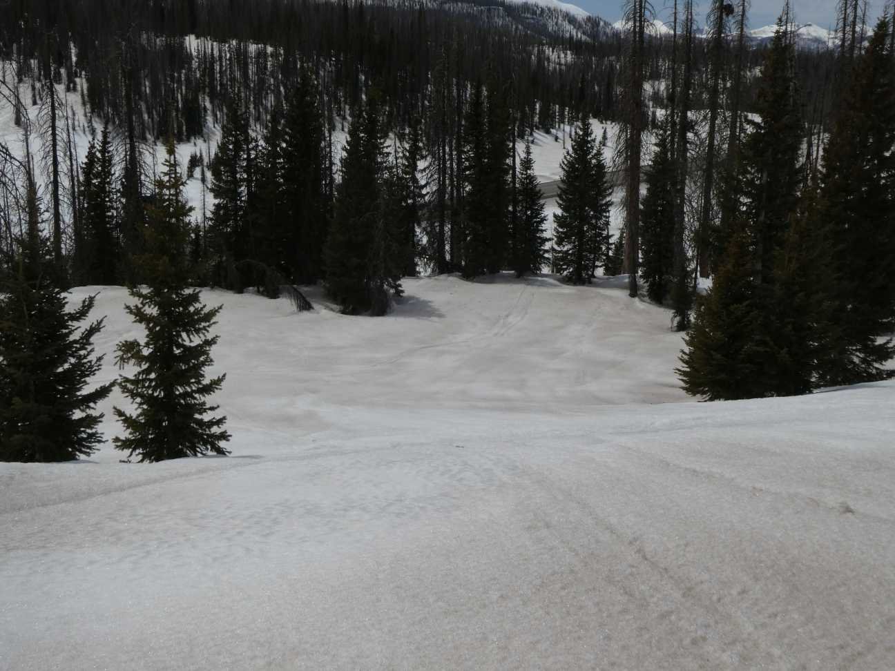
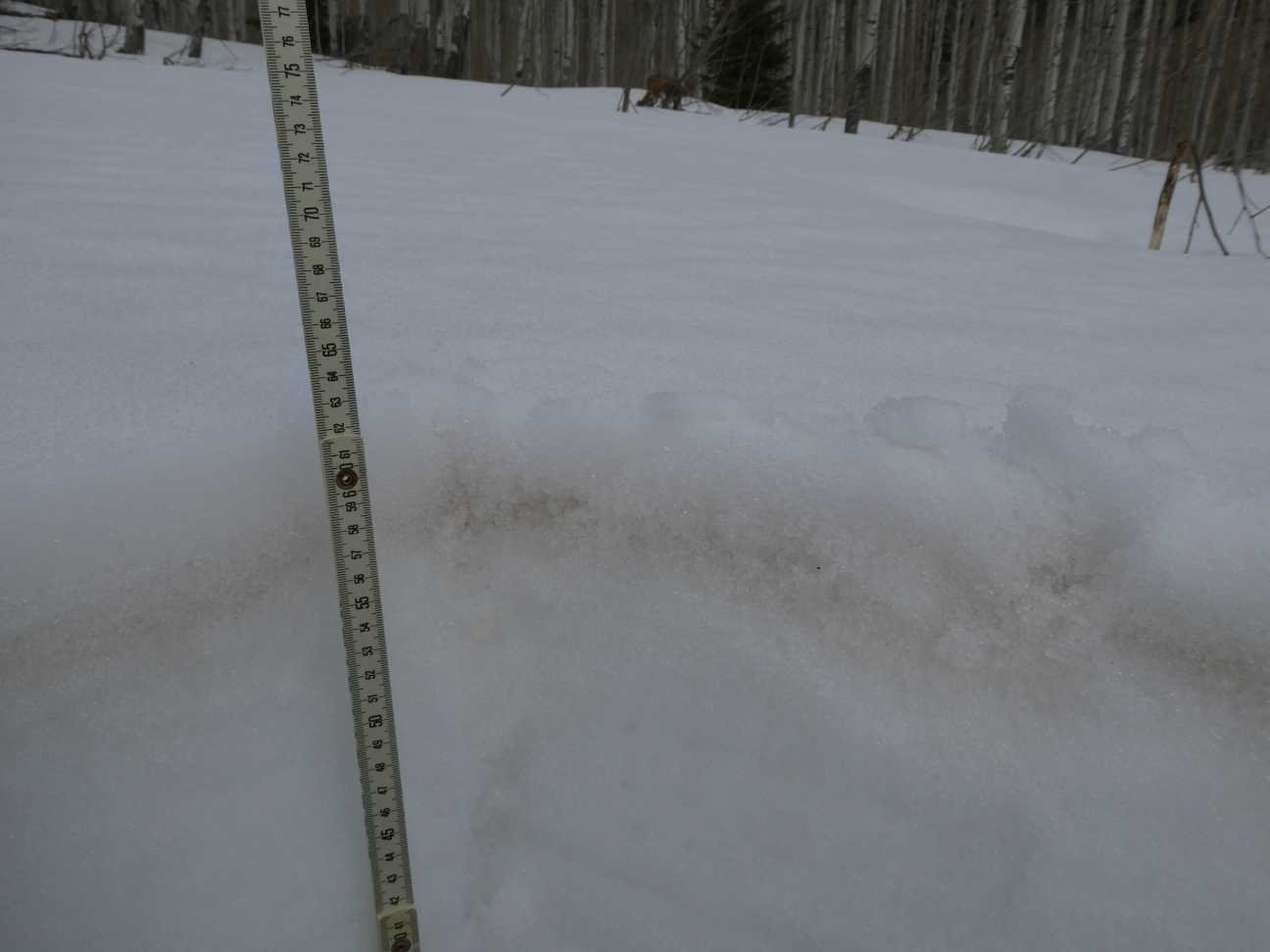
PARK CONE: APRIL 17
We visited Park Cone in early morning during a light snow event. It was a cool morning. The snowpack was moist lower down. Dust was just an inch below a scuffing of new snow. Severity would be classified as moderate for that site. Definitely much more dust than a typical year. Citizen scientists sent pictures and reported difficult skiing because of the concentration of dust (see below).
GRAND MESA: April 17
Grand Mesa has moderate but very stark dust conditions across the landscape. At the sample site dust was under just ~1” new snow, so the snow surface appeared less dust impacted than the reality. D2 still lurks underneath the surface dust by about 1’. Still, severity would still be considered upper end of moderate. A number of thick ice layers prevented digging a full profile with my aluminum shovel.
McCLURE PASS: APRIL 17
The dust layers are merged and at the surface at McClure Pass making for a very dark moderate layer. Like other sites, there is a slight bit of snow on the dust that has assuredly melted by now. The snowpack is very moist and has been melting. Being a low elevation pass, just down from McClure is a snow-free landscape.
HOOSIER PASS: APRIL 18
Hoosier had the least severe dust conditions of the 11 monitoring sites. The mild dust lay under 4” inches of accumulation in two bands rather close together. SWE at Hoosier is 14”. The snowpack has a bit over 1 degree C of warming before being isothermal.
Berthoud PASS: April 18
We visited Berthoud at 2 pm and the top 10 cm of the new snow layer was saturated with melt water. It seemed the 1.47 meter snow profile seemed to shrink in the intense sun just during the time we were collecting data. A couple significant dust layers, just a few inches from each other, was under the recent 8” accumulation. By now with the hot and sunny weather and consolidation of snow, these dust layers are likely close to emerging at surface. There was 2” SWE over dust on April 18. The snowpack still needs to warm ~1 degree before being isothermal, so the Berthoud SNOTEL is not showing a reduction in SWE yet.
Loveland PASS: APRIL 18
We measured 20” SWE at Loveland Pass. The snow surface was clean and bright. A 5” diffuse dust layer lies 8” beneath surface. Like other sites, through consolidation and melt, dust must be emerging at this locale given the sunny weather. Temperature of the pack is still cool, still requiring 1.5 degrees warming until isothermal. All the next layers are all near surface, nothing else of significance lurks under these layers.
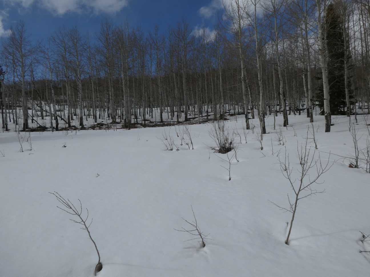
WILLOW Creek PASS: APRIL 18
Willow Creek has 12” SWE. The pack is moist throughout. All dust layers are consolidated at surface by now, on April 18 the dust was under 1” of now.
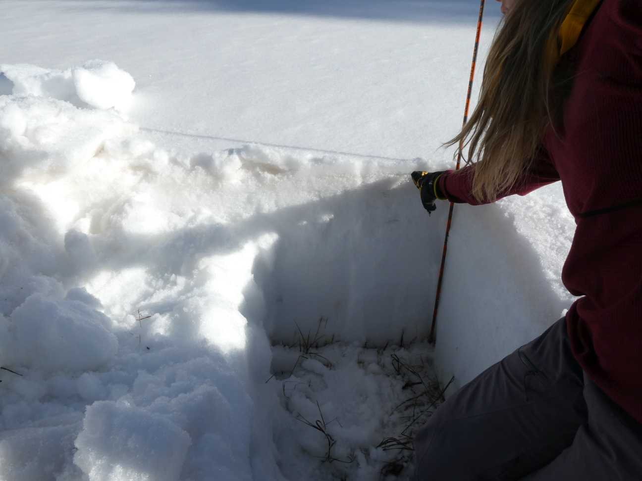
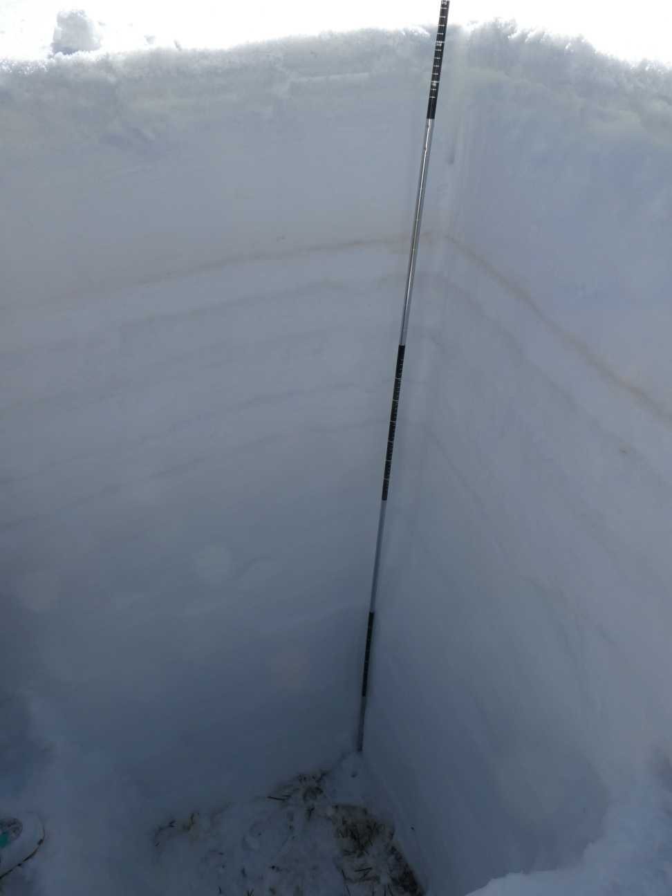
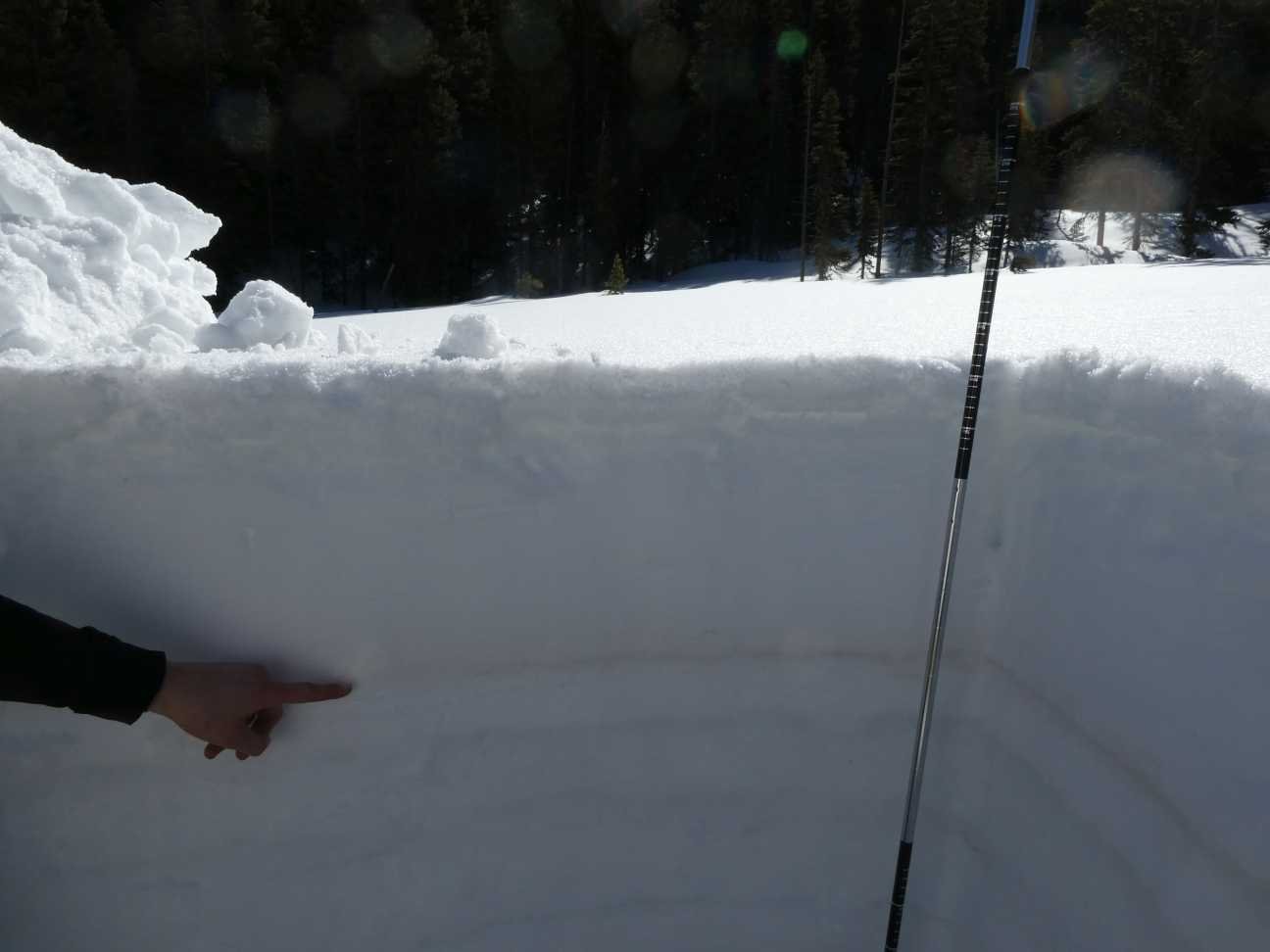
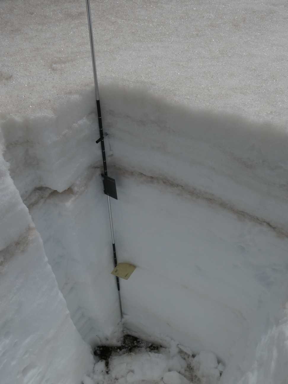
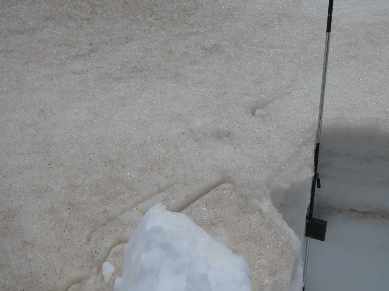
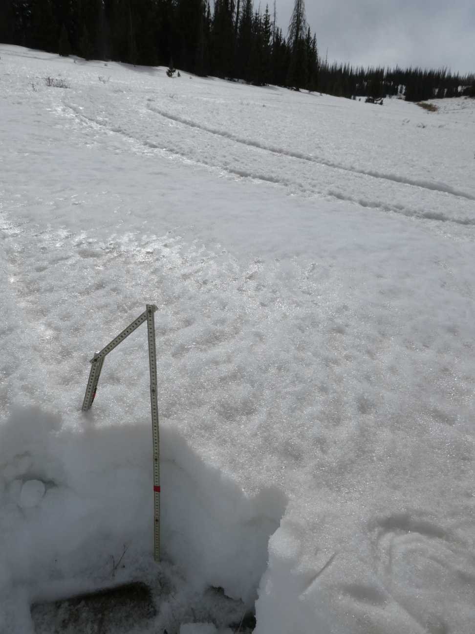
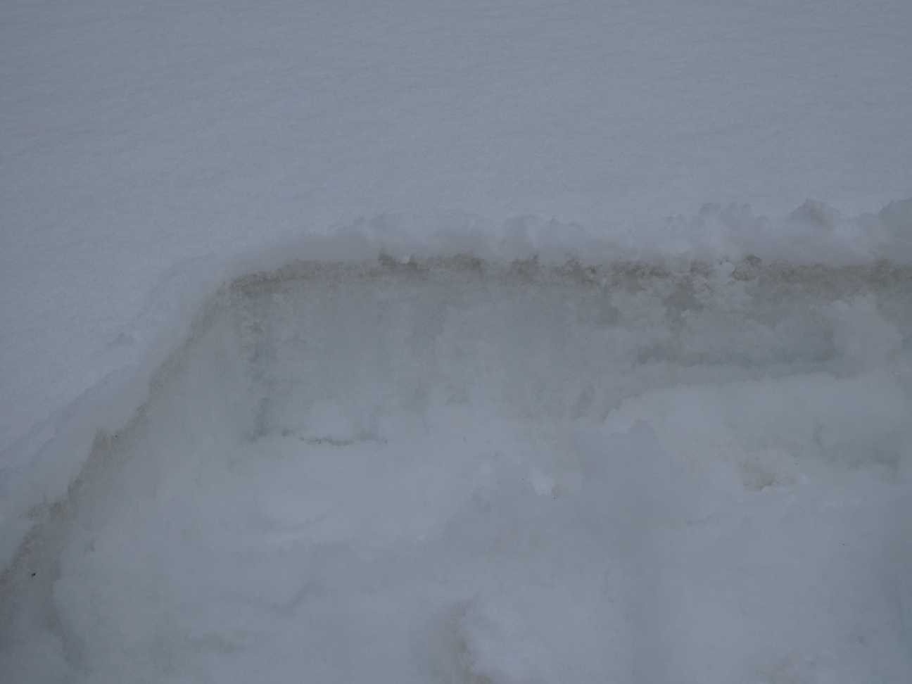
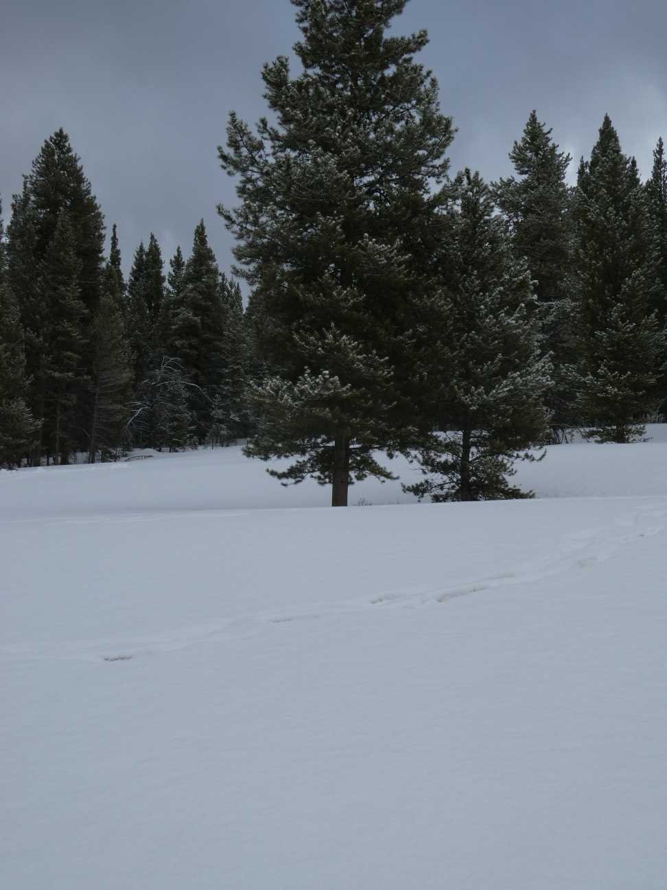
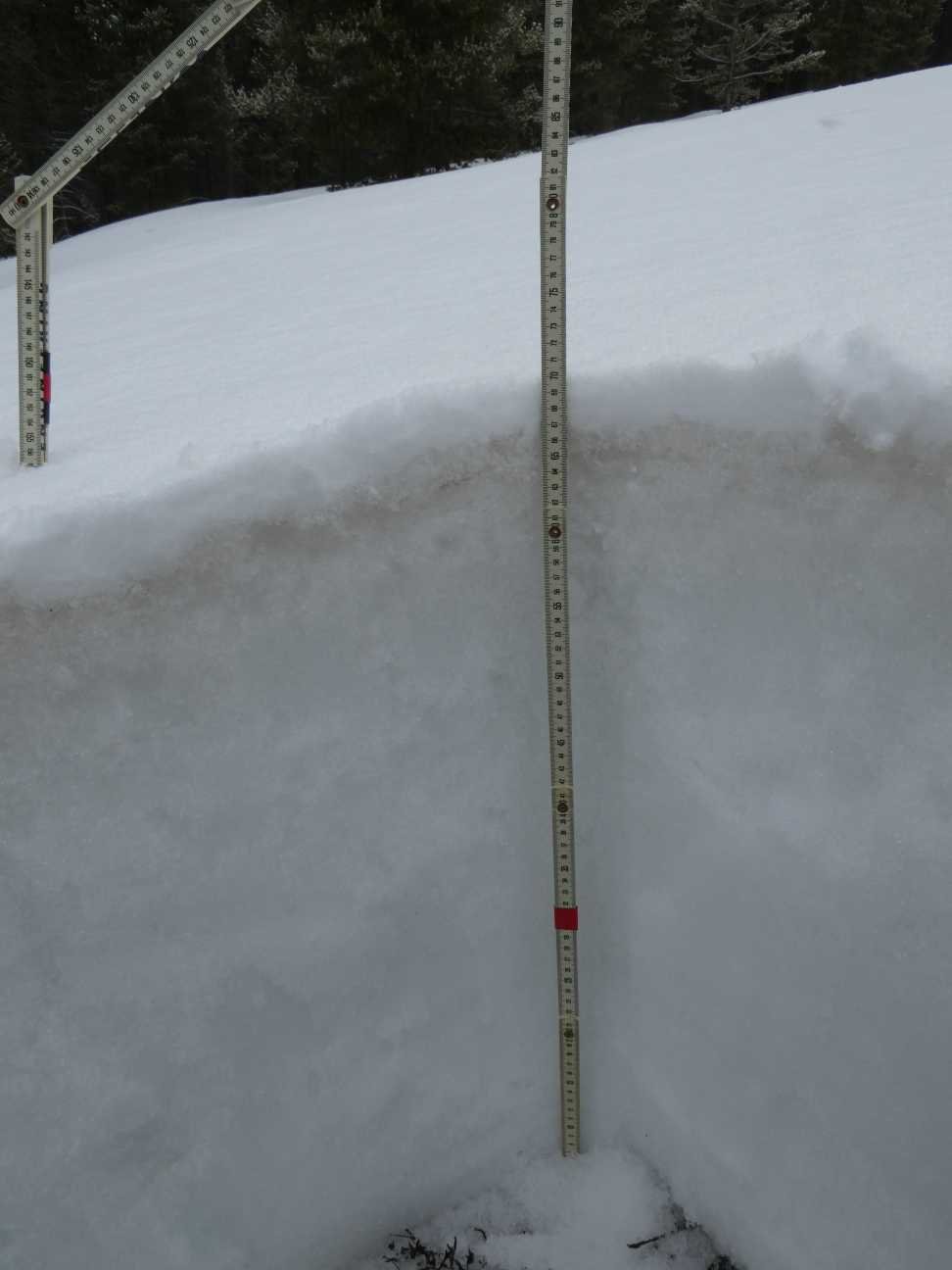
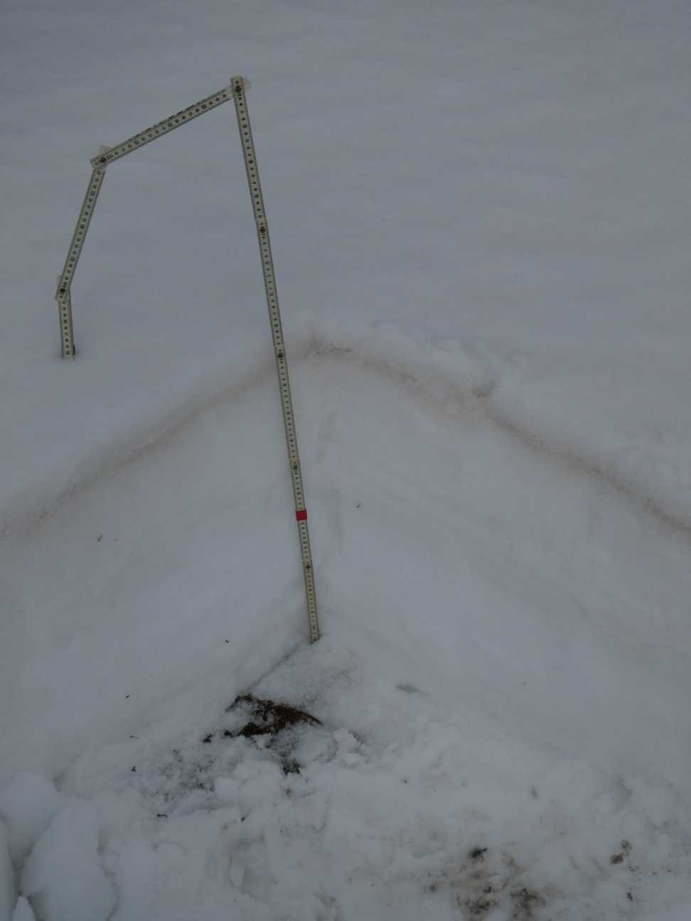
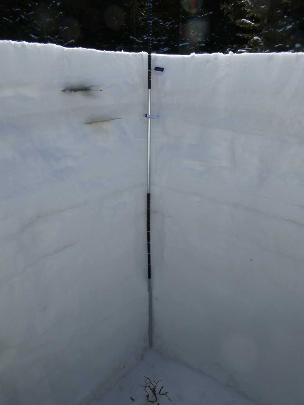
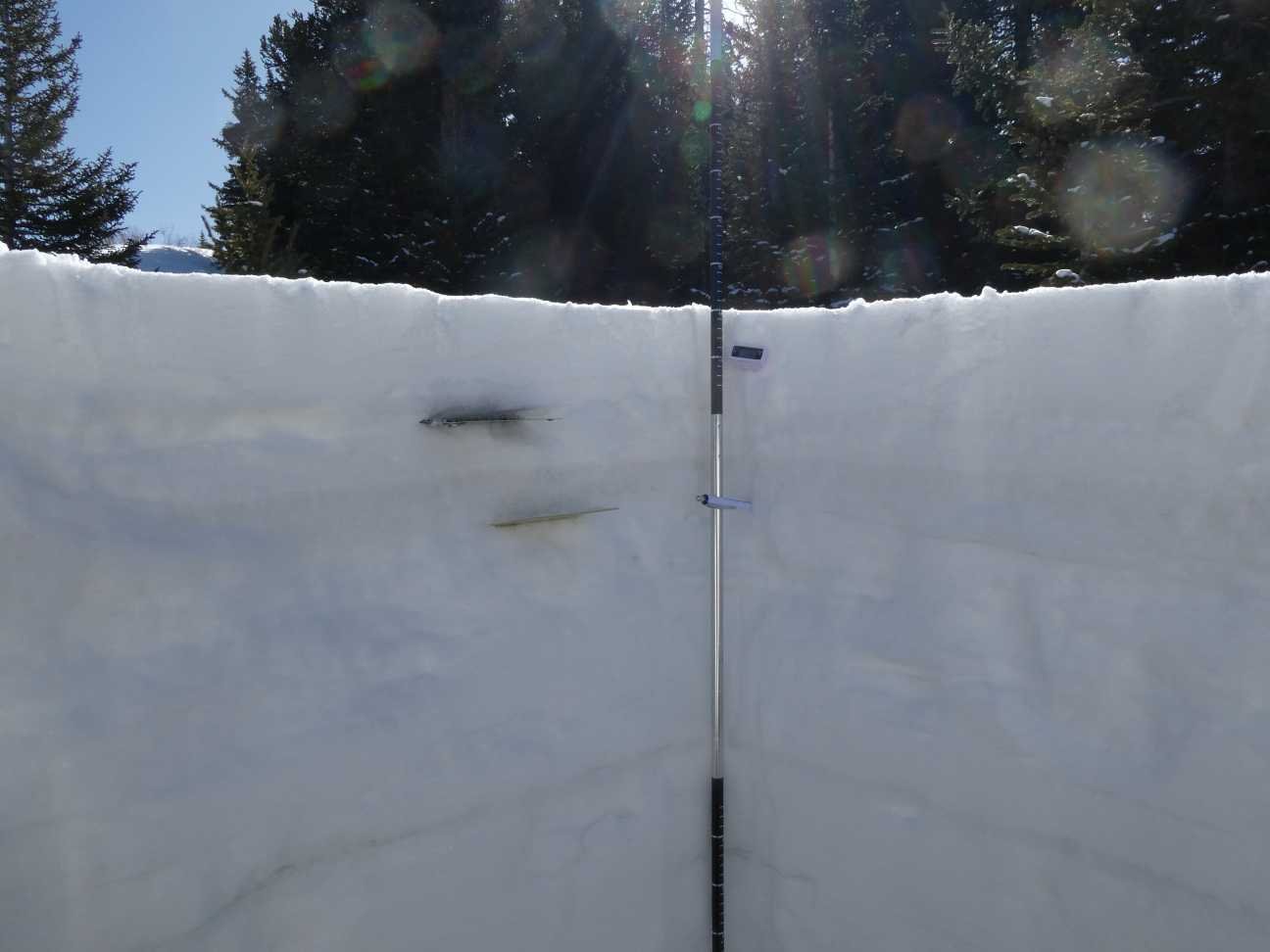
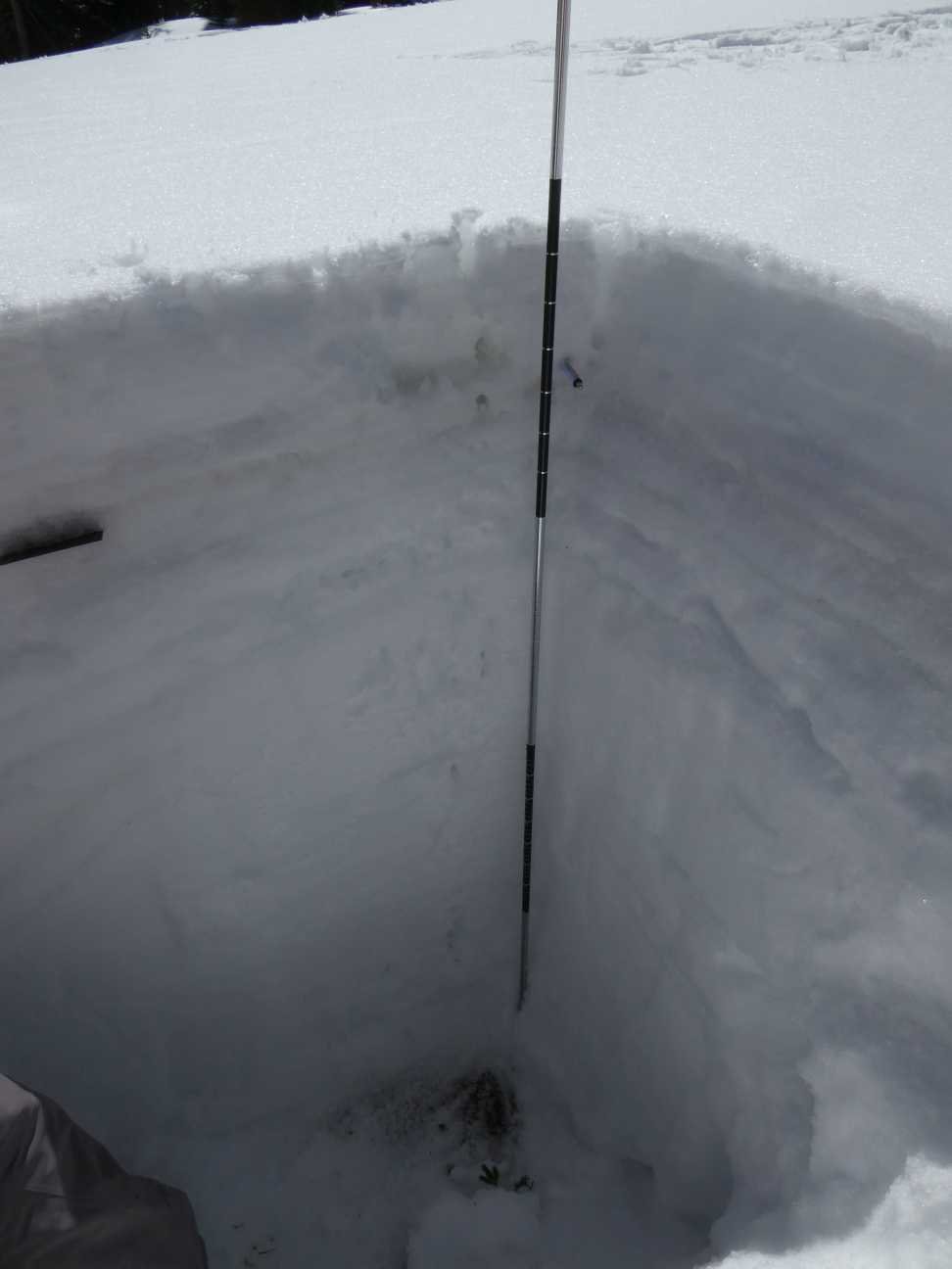
RABBIT EARS PASS: APRIL 19
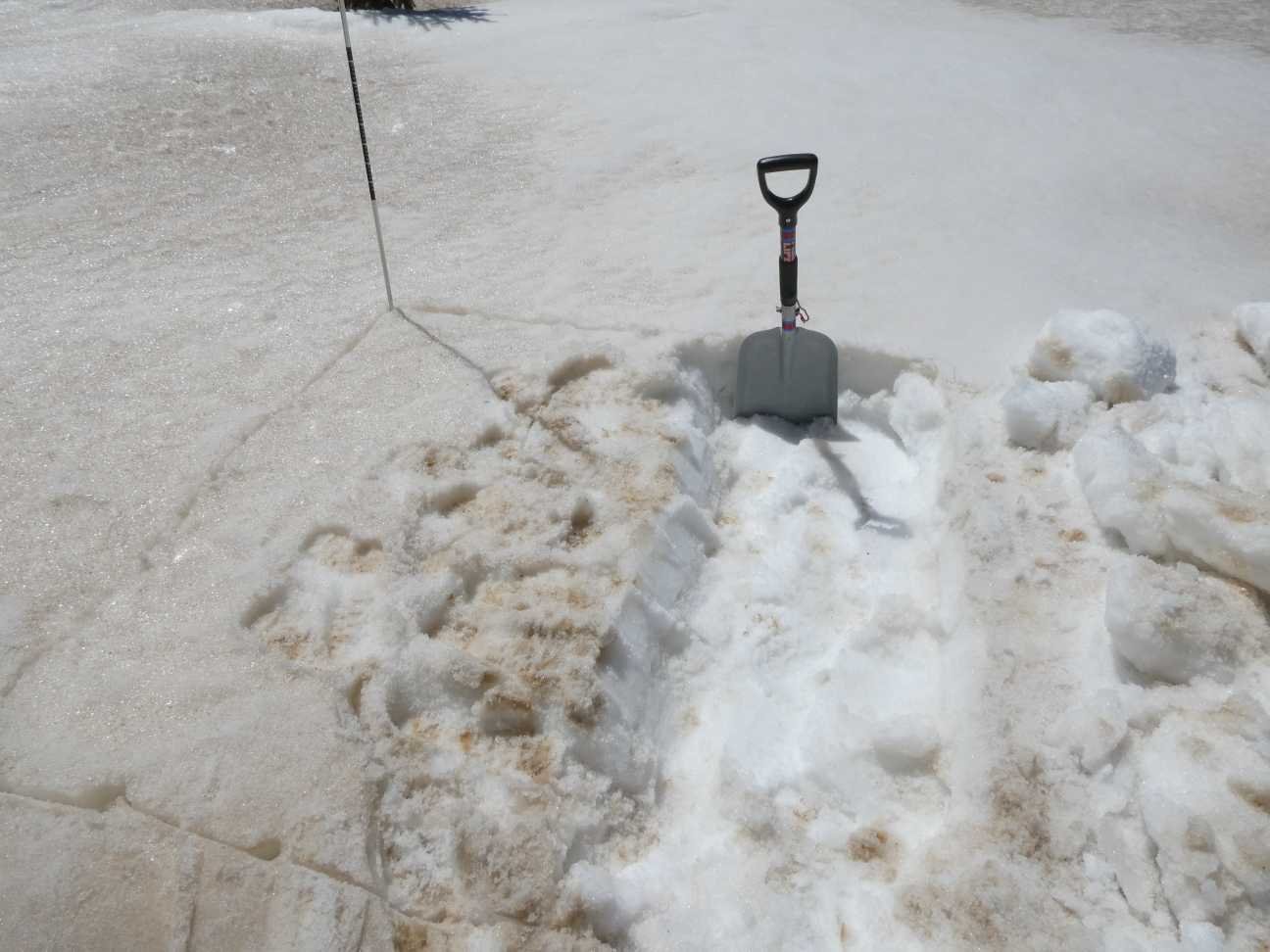
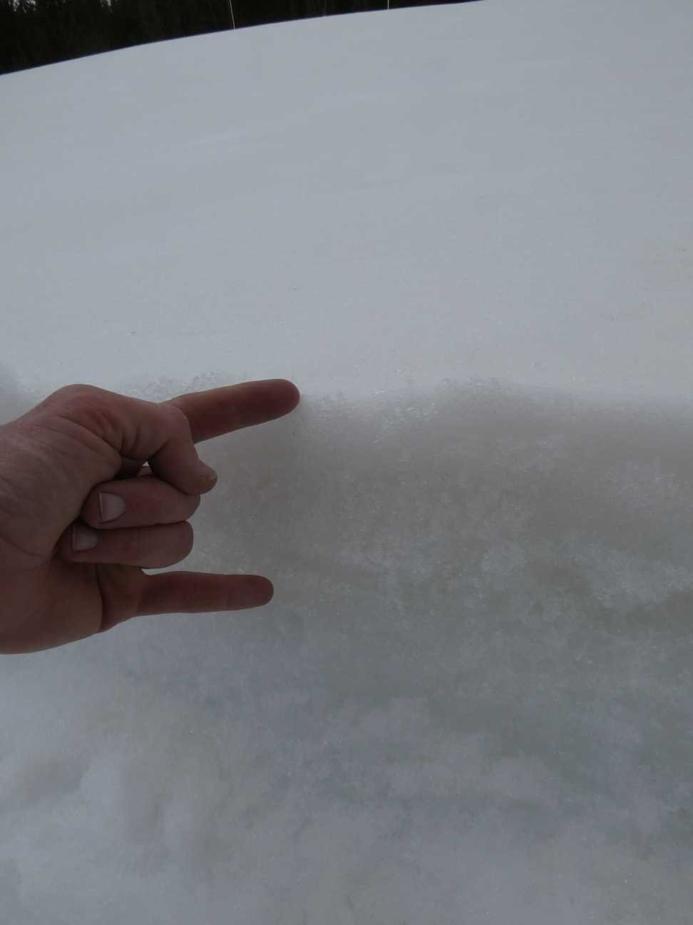
Early Tuesday morning Rabbit Ears Pass had shown evidence of intense warming the day before. The snowpack on average has a little under a degree C further warming before being isothermal. The consolidated dust layer is 1’ under the surface as seen in the below photo. 3” of SWE lies over the dust. A pretty moderate dust severity, nothing outrageous.