CODOS Update April 14, 2022: Dust Like You Read About
Greetings from Silverton,
In the last codos update it was mentioned we were waiting for the other shoe to drop, meaning we already had a couple of bad dust layers in the upper third of the snowpack, and it was only a matter of time before we received dust near the peak of the accumulation season thereby placing dust on/near surface for the start of ablation season, and eventually merging with the other dust layers to further darken the snow surface considerably. This happened Monday evening with a severe dust event occurring from widespread crazy high winds that were constant for three days. Snow storms quickly followed the dust burying it with 7.9” accumulation as 0.87” water at Swamp Angel. This new accumulation gave the snowpack a little boost around the state and also provided a refresh of the snow surface where the wind hasn’t scoured the new accumulation away.
Starting on Saturday we will begin the April codos tour around the state. I believe it is well timed to document where we are at particularly after this last event that was so far reaching as reported by citizen scientists, satellite data, and cameras.
For the time being dust should remain under snow for a bit up higher up in elevation and coming to the surface sooner in shallow snowpacks and exposed and scoured areas. The forecast is mostly sunny (for southern CO, chance precip towards northern CO) for the next 8-9 days with winds subsiding and temps increasing next week. Our codos report next week will inform what to expect over the next few weeks. Looking down the road when all of these layers combine we will see a snow surface darker than what we have seen in a good number of years at least in the southern basins.
Take Care,
Jeff Derry
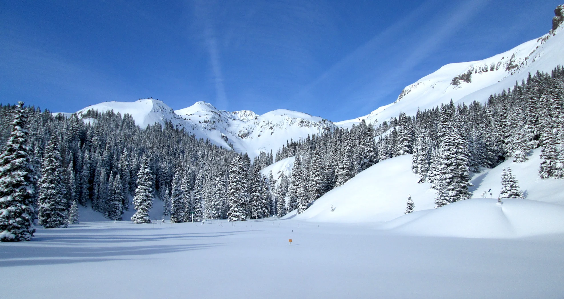
What lurks beneath. Under 20 cm of a pristine snow cover lies Monday’s dust event. It is widespread throughout the state. Our codos tour scheduled for this weekend will reveal where and how bad the dust season is thus far.
The Swamp Angel hydroclimate station in the background measures the energy budget of the snowpack. Along with the Senator Beck station, they inform water management decisions and serve as a unique dataset for researchers.
Vehicles can provide a good surface to give a qualitative idea of dust deposition.
Wind rose of the 5th dust event (D5) of the season.
Central Colorado: On April 5, I believe, dust hit Central Colorado from the Gunnison Basin to Berthoud. Below is a picture from Colin Penn taken April 8 at Berthoud SNOTEL. Monday new dust has likely been added along Front Range areas and covered to some degree from the ensuing snowfall.
Berthoud Pass on April 8.


