CODOS UPDATE April 1, 2026: Peak SWE or Snow-all-gone?
Greetings from Silverton,
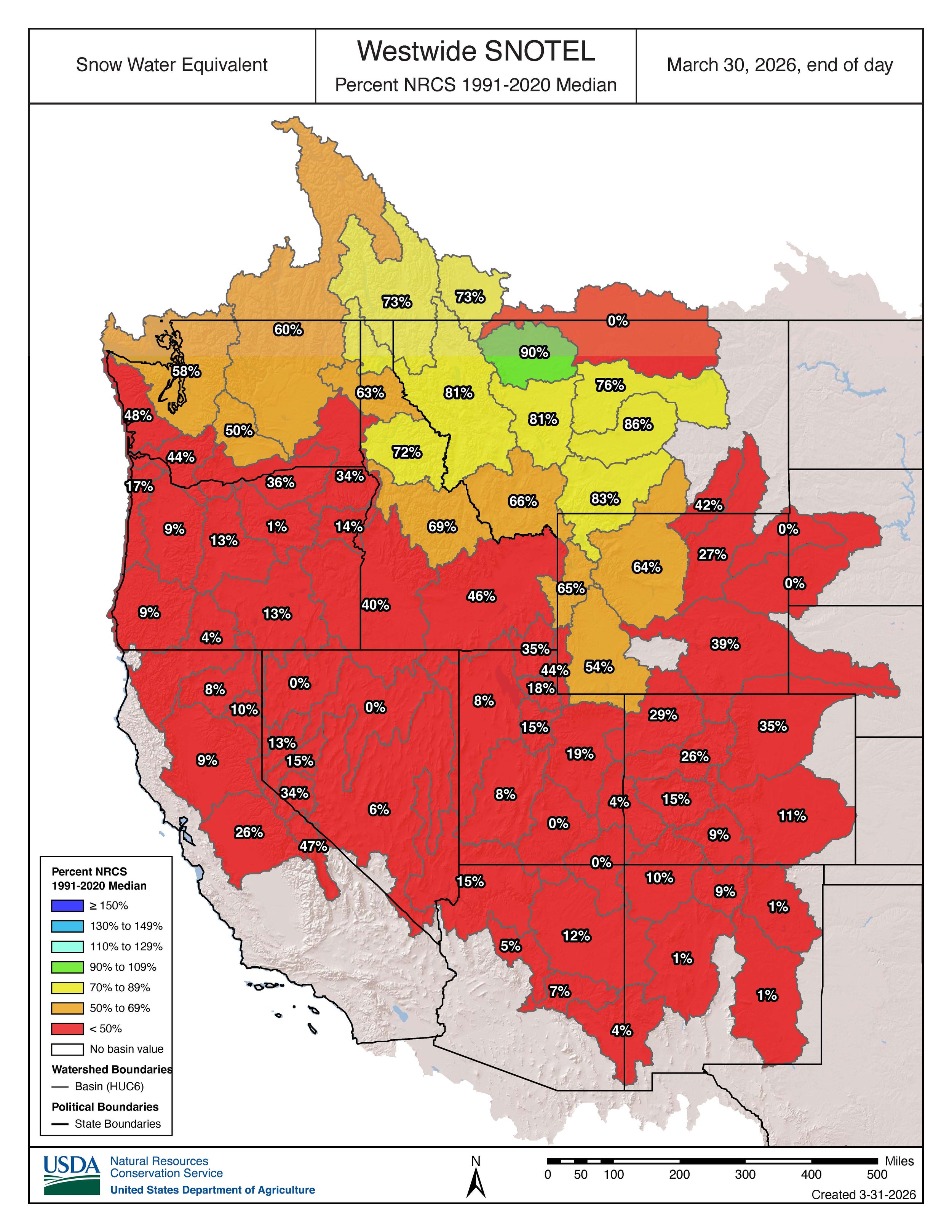
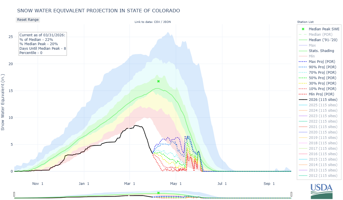
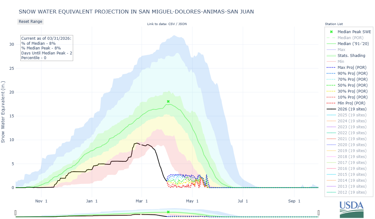
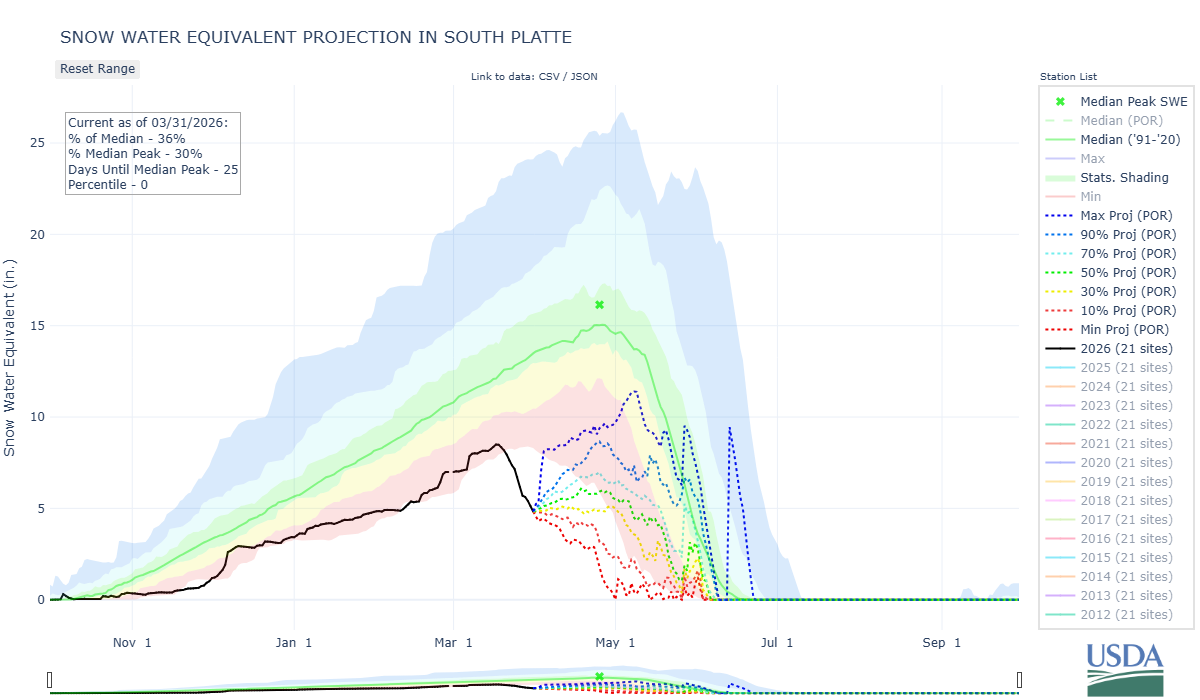
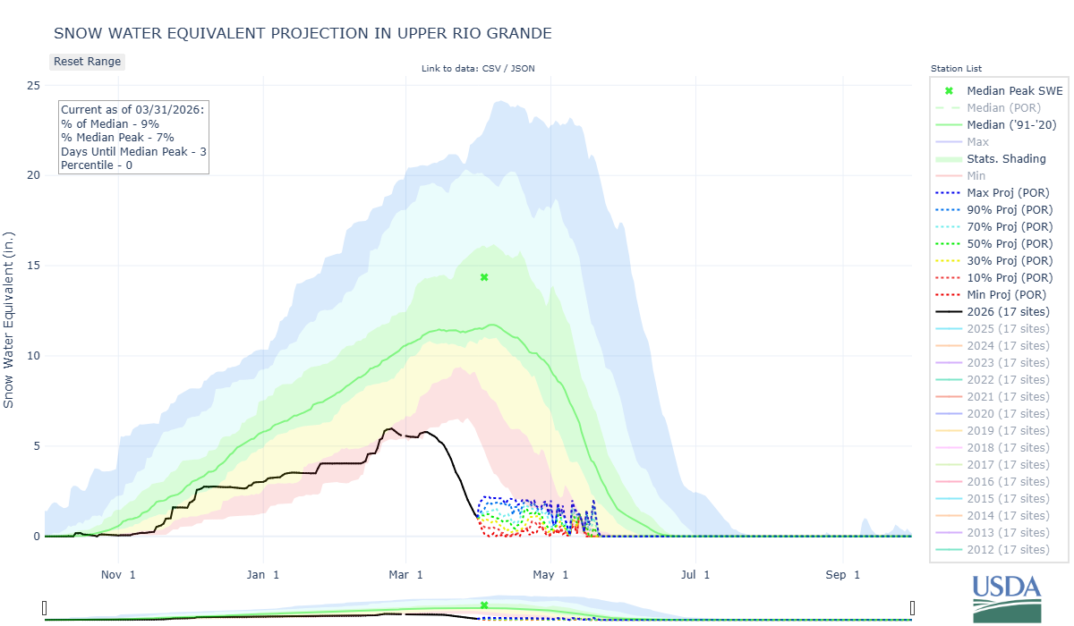
Typically around April 1, give or take a week or two, the Colorado snowpack hits peak accumulation for the season, and then begins the melt process (while still taking on more spring precipitation). This year April 1 is marking the day where many SNOTEL sites are melted out, or nearly so, instead of hitting their max. April 1 snowcourse data collection goes back to the 1930’s here in Colorado, much longer than the SNOTEL network that started ramping up in the 1980’s. Data collected today will show record lows we would wager.
We moved up our statewide CODOS tours considerably this year. The first tour was the first week of March and the second (typically done in April) we mostly squeezed in over this last week. Below are our observations. The remainder of our sample sites will be visited after this current precipitation event moves through Colorado.
Take Care
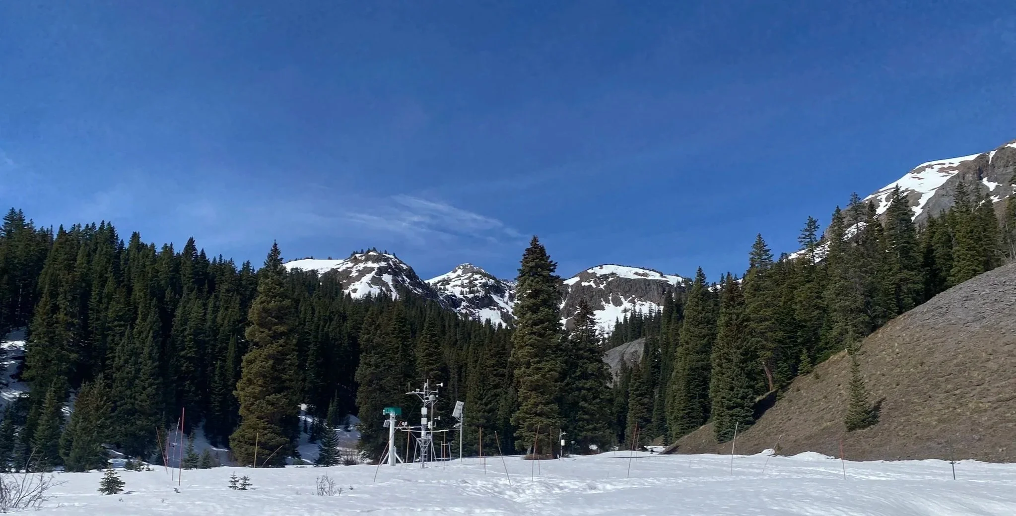
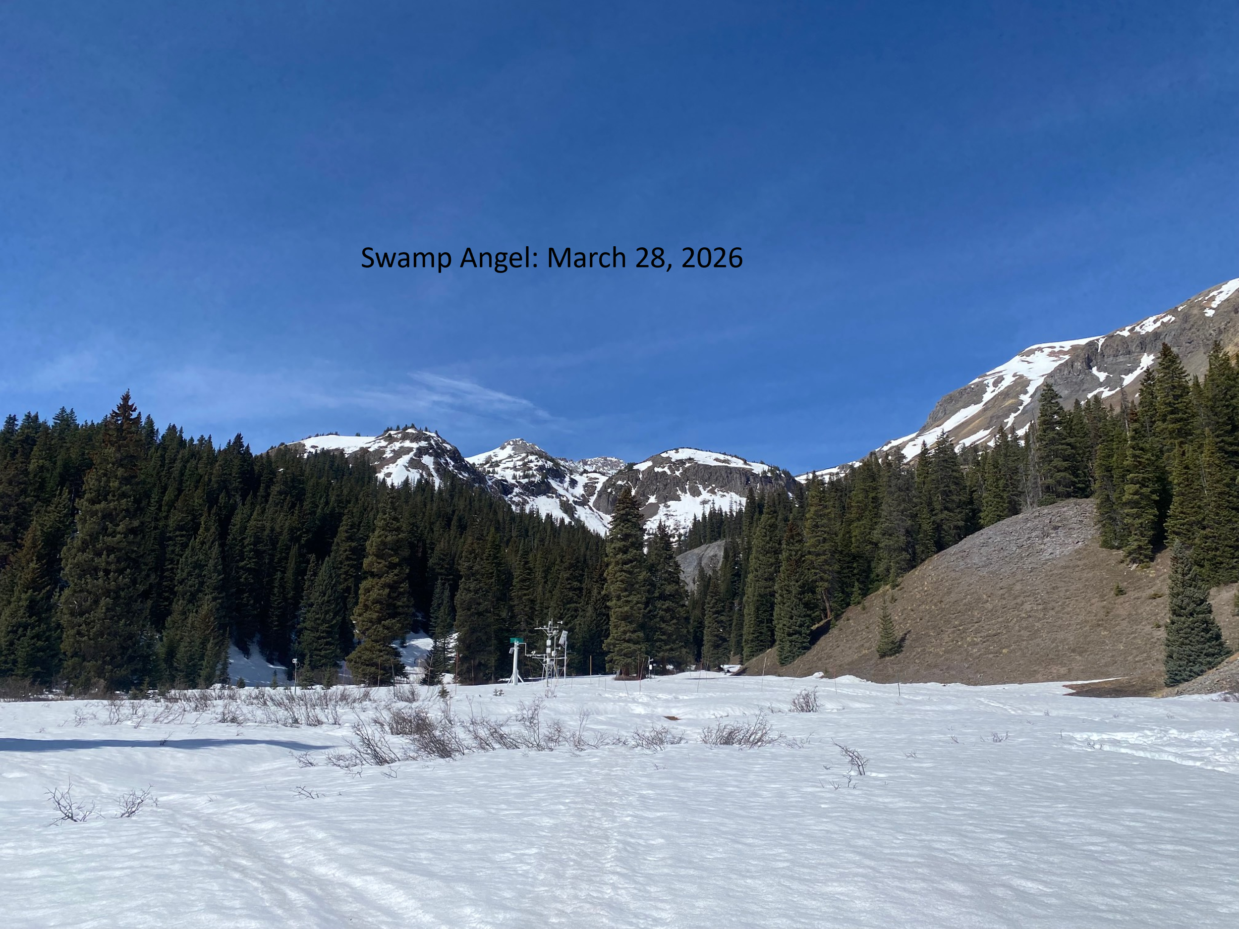
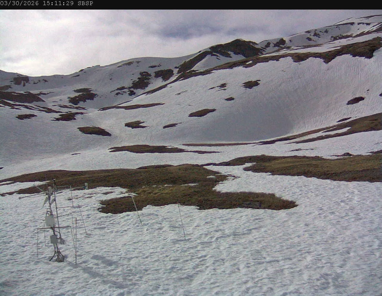
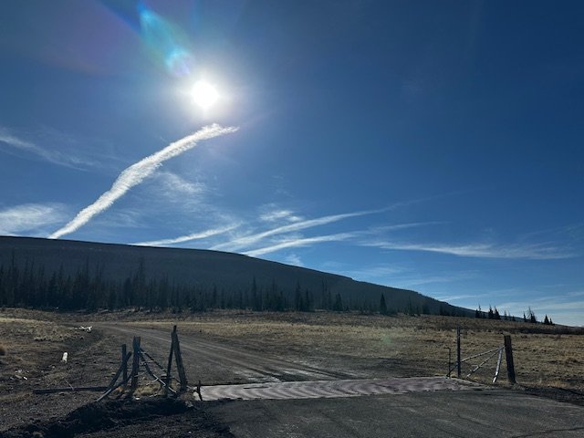
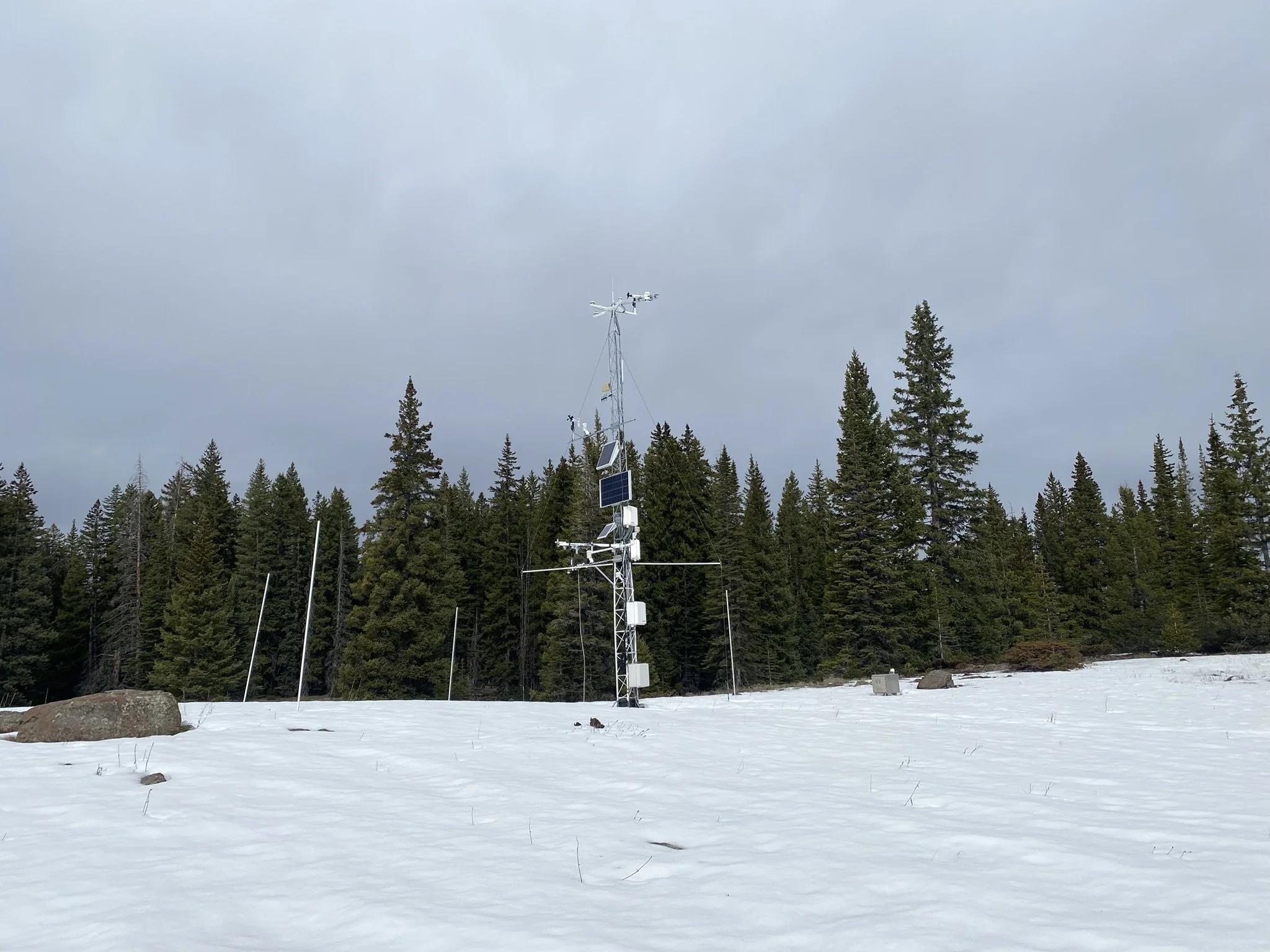
Below: Photos from Swamp Angel on March 28. Snowpack conditions are at least 1.5 months ahead of normal. SWE was 7.8”.
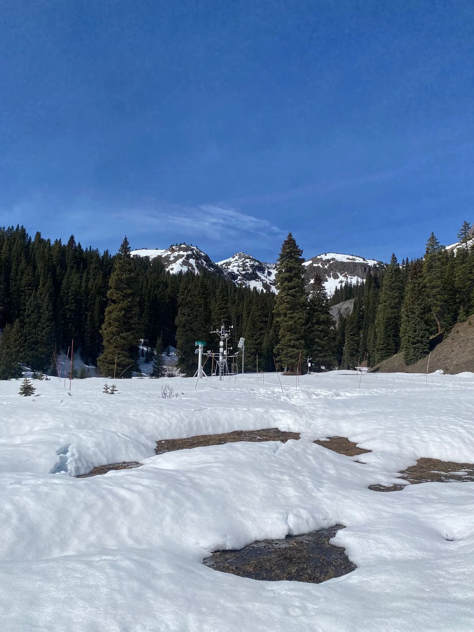
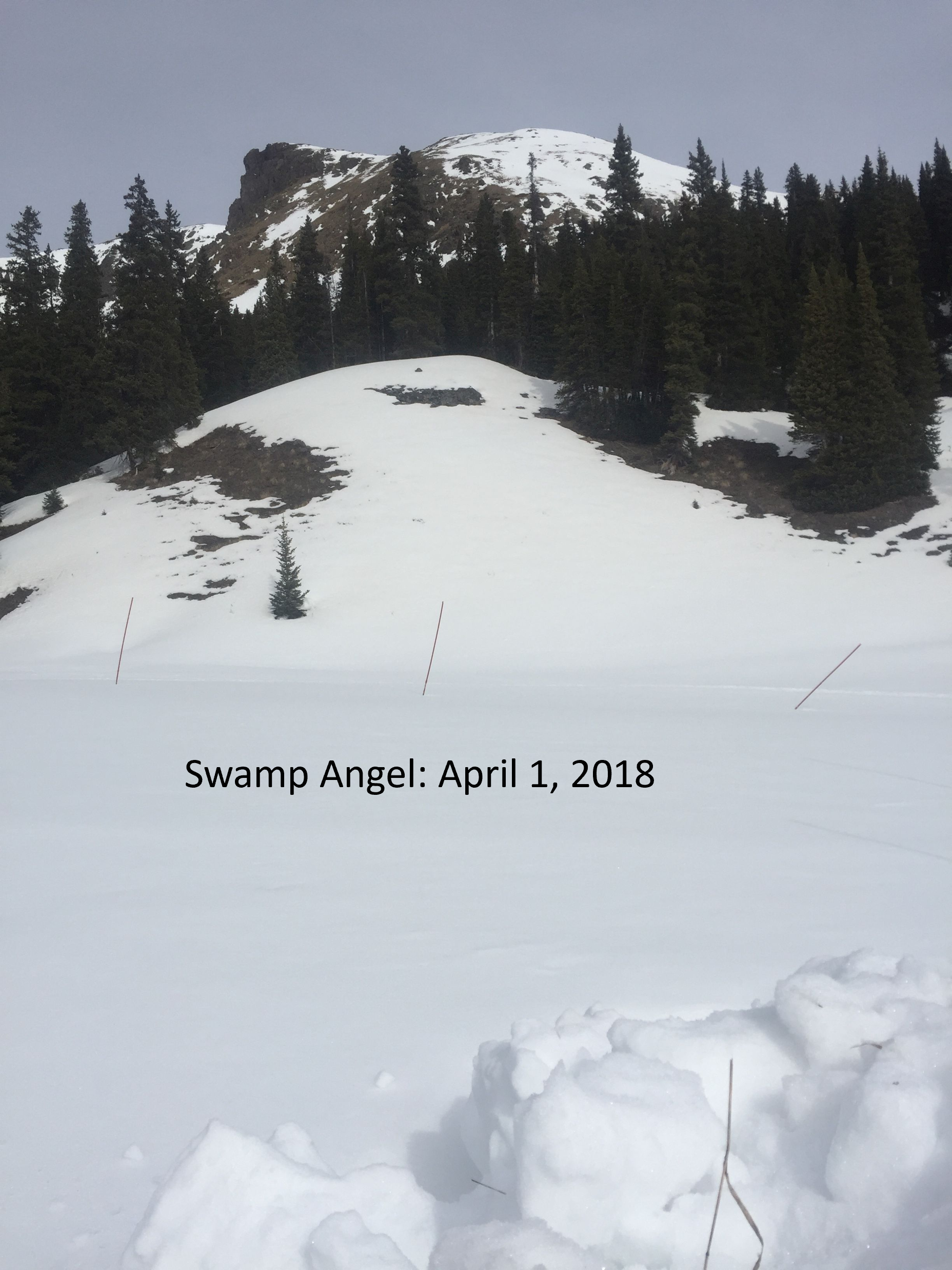
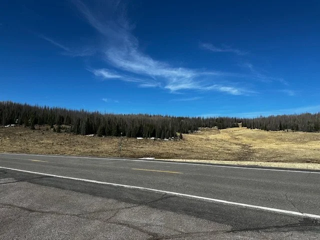
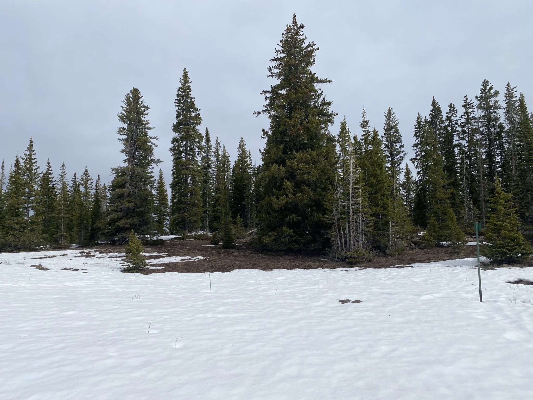
Below: On April 1, 2018, a notable dry year in Southern Colorado. Southerly aspects still held snow and the clearing at Swamp Angel had yet to show undulations. This year, on March 28, southerly aspects have been bare for a long time, as well as willows, and bare ground with pooled water is showing. In 2018 snow depth was 45” (SWE=14.7”), and in 2026 it was 21” (SWE=7.8”).
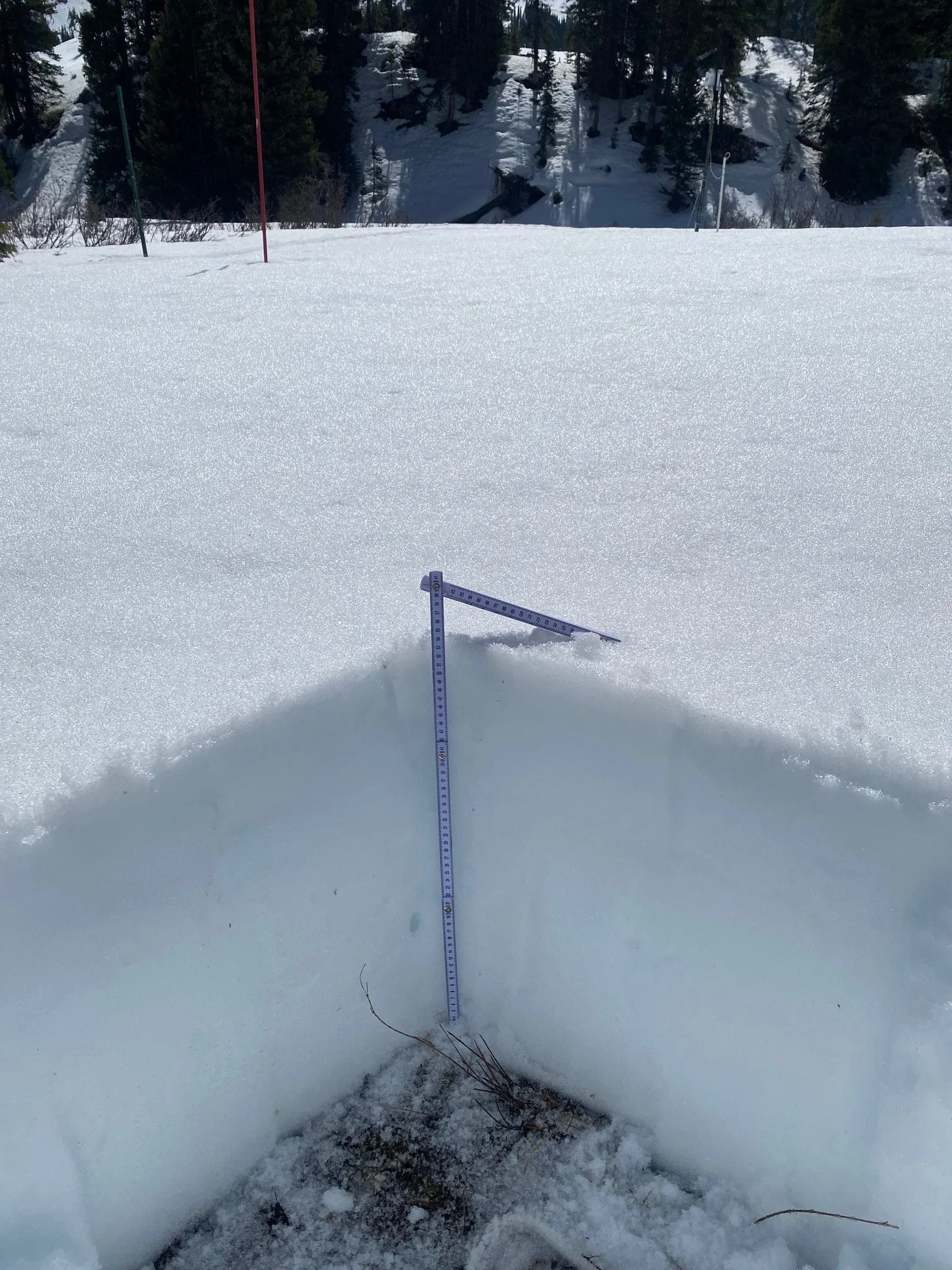
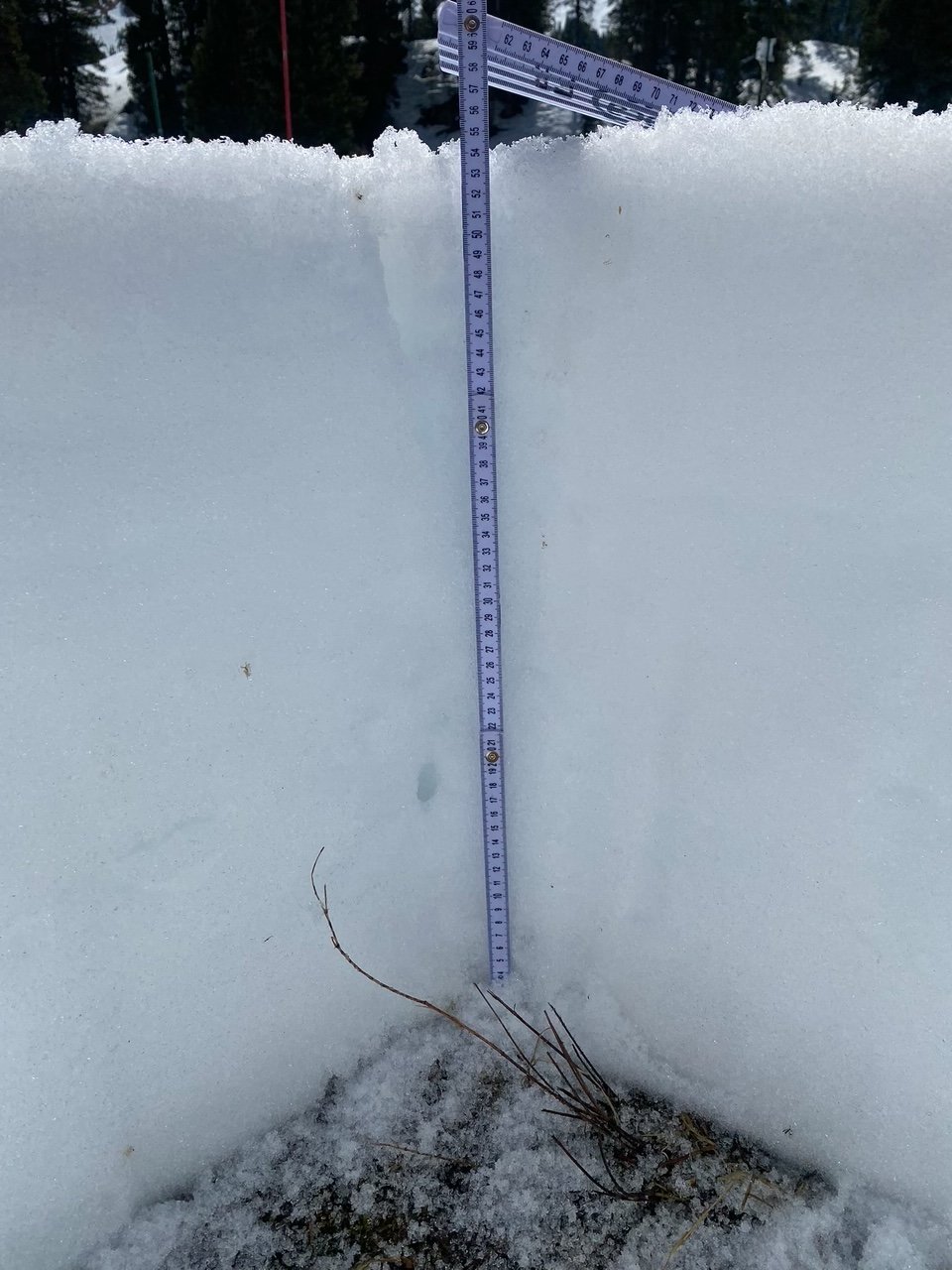
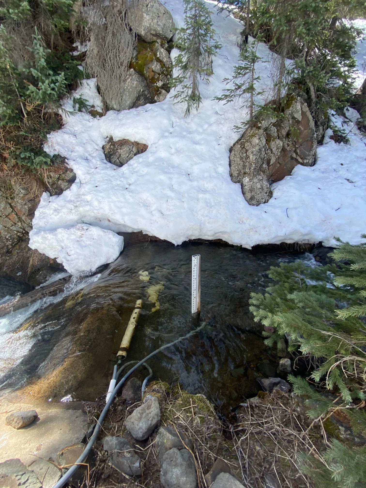
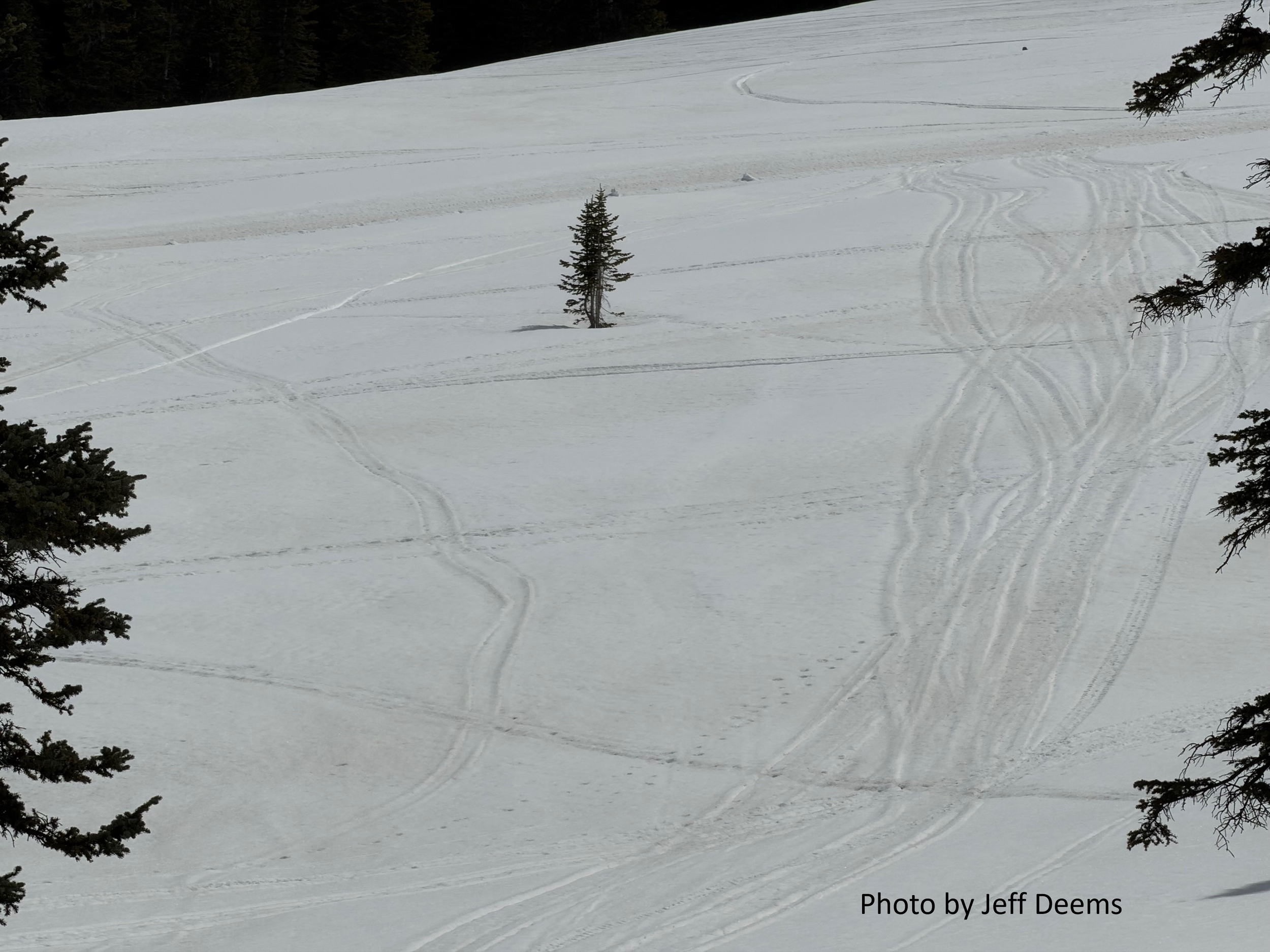
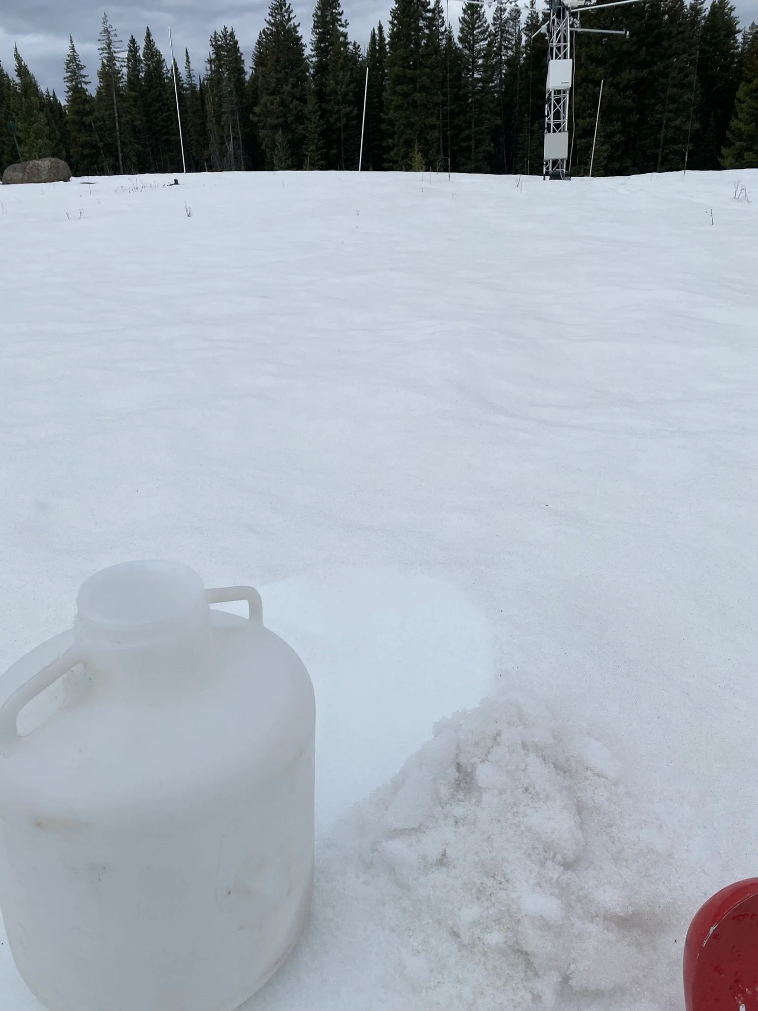
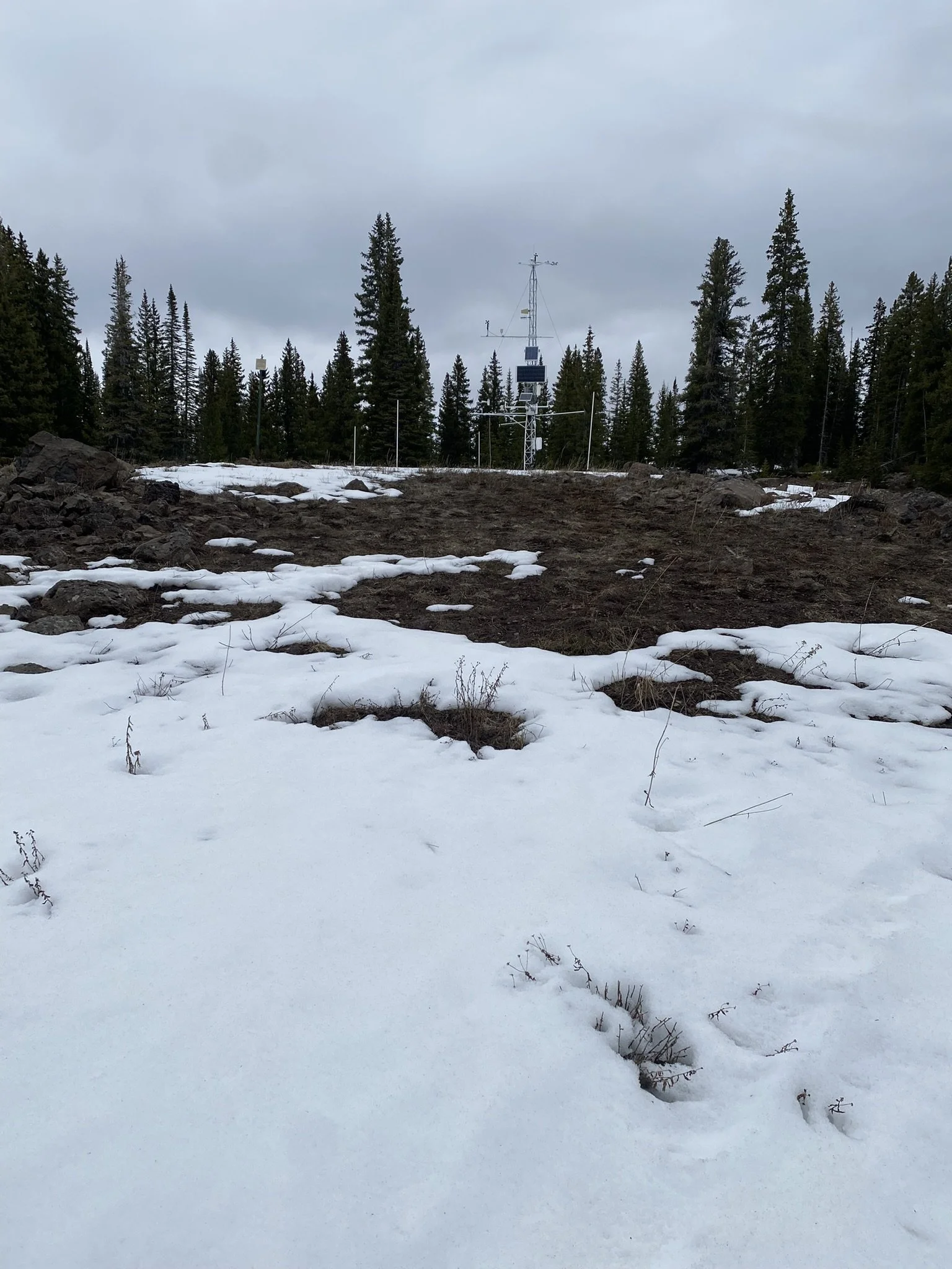
Below: Senator Beck has only 4” under the snow depth sensor as of March 30. The storm that ensued the evening of March 31 added a foot with more to come as of this writing.
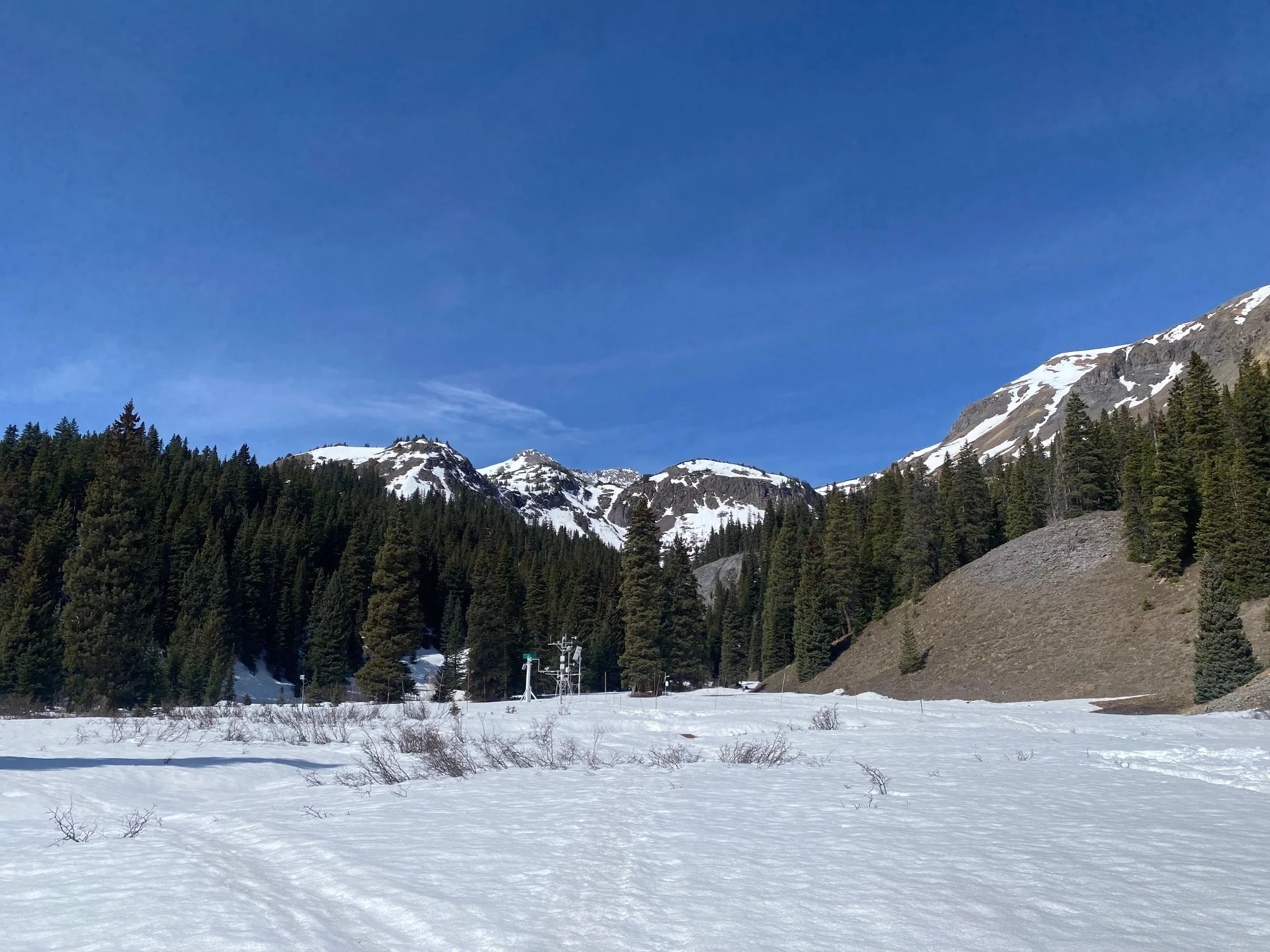
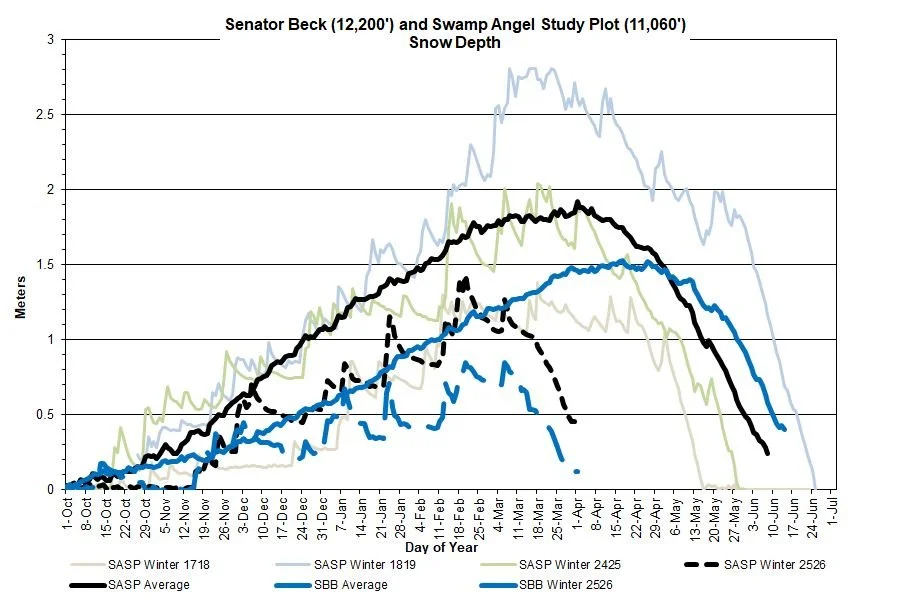
Below: The storm that is currently rolling though Colorado might change this a little bit, but Senator Beck station (12,200’) is cued up to be melted out before Swamp Angel (11,060’). And both stations are looking to melt out near the timeframe when they typically see peak accumulation.

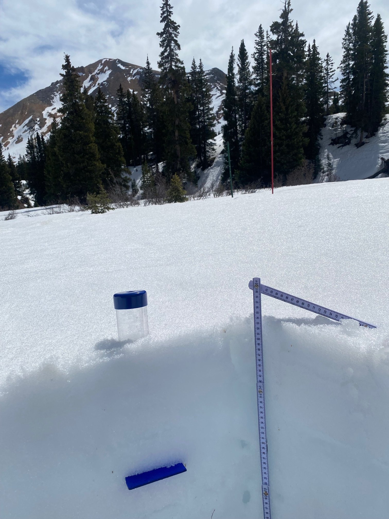
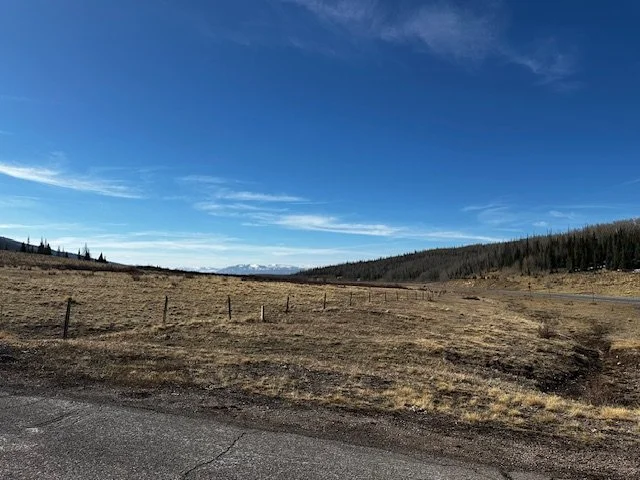
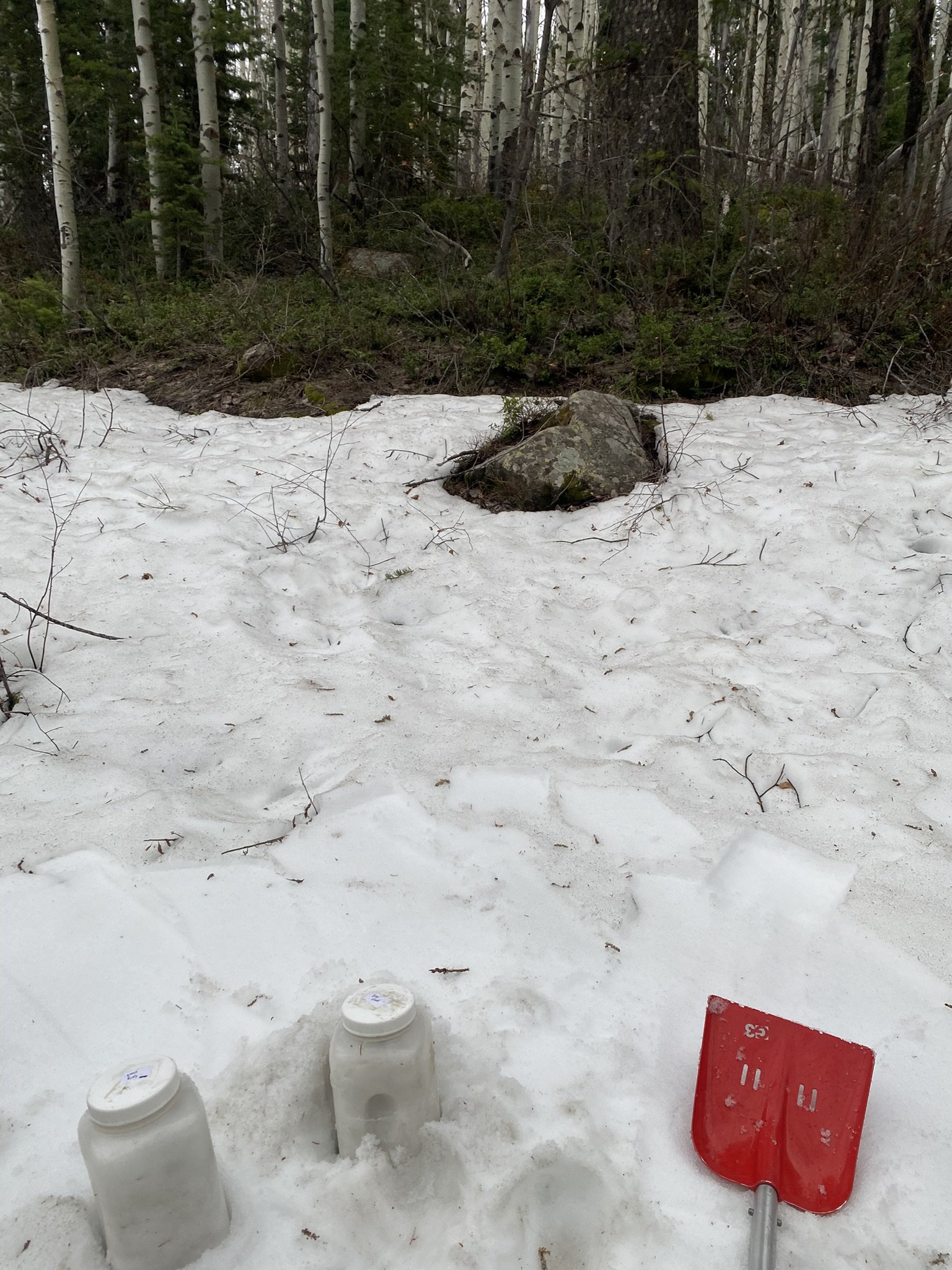
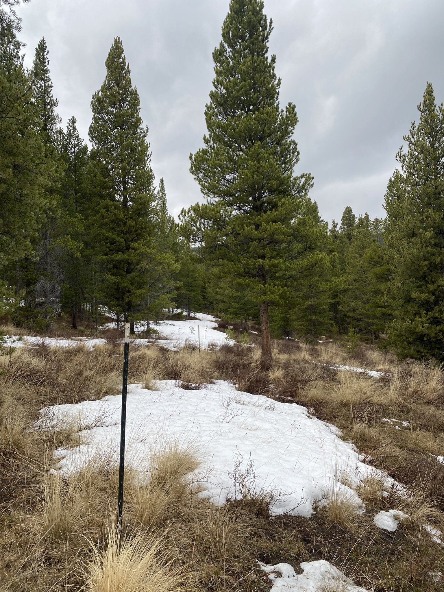
Spring Creek: On Saturday, March 28, we found a few patches of snow to grab end-of-season dust samples. But a few patches was about it. Snow had been gone at Spring Creek for some time.
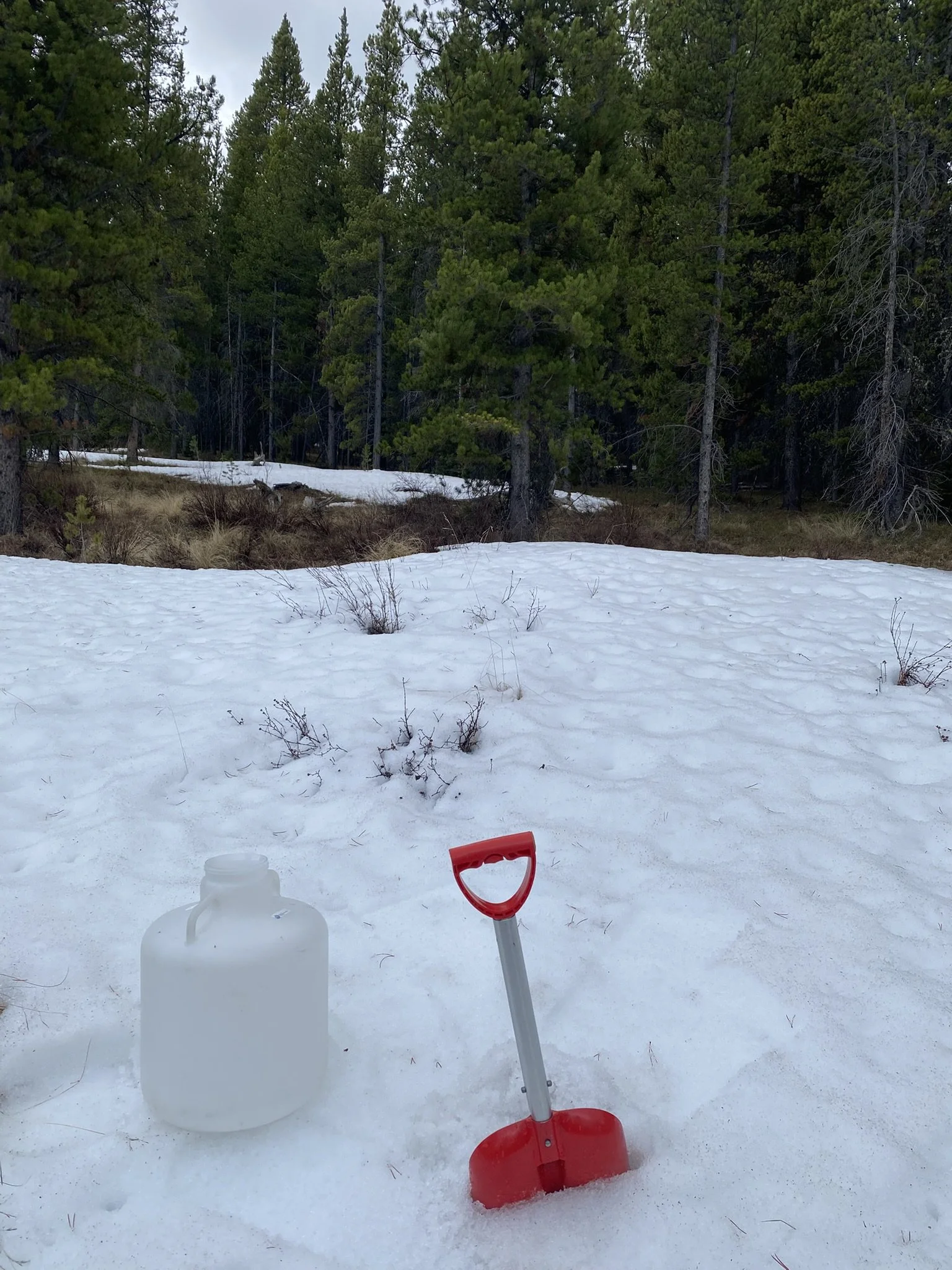
McClure Pass: McClure Pass typically melts out pretty early. On March 9, there was only 19” of snowdepth. This disappeared pretty quickly during the heatwave that was already in place the month of March. But on March 21 the area received a bit of dust from the winds that curved around and missed the San Juans but hit Grand Mesa, then Roaring Fork region. During our snow sampling on March 31, it was raining a good bit.
Grand Mesa: The wind event that swung through on March 21 left dust on Grand Mesa before heading to the Roaring Fork and doing the same. SWE at Grand Mesa is 3” with a depth of 10”.
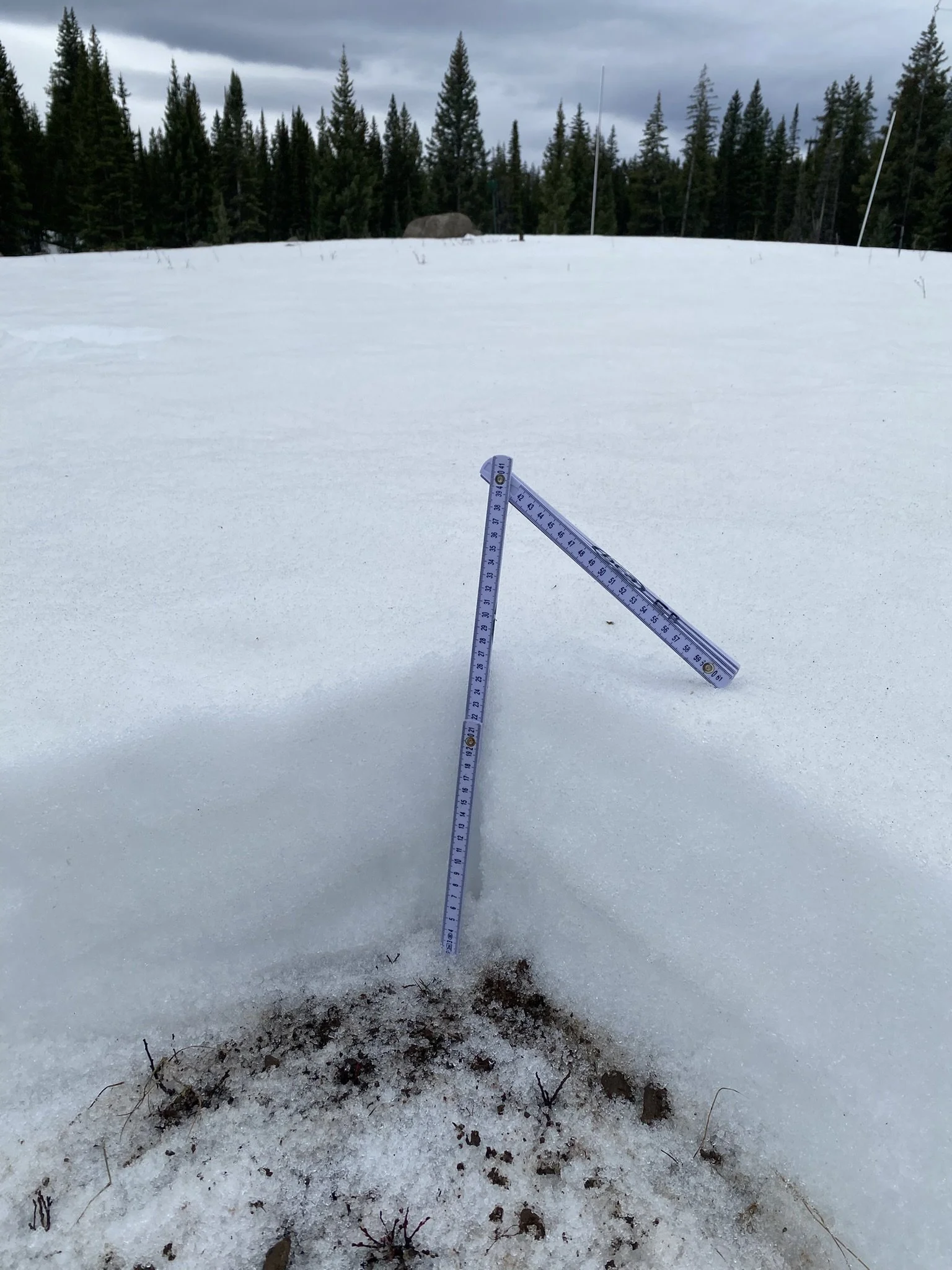
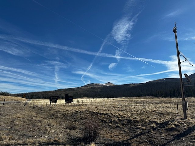
Park Cone: Park Cone was also melted out with only patches of snow here and there. Local forest debris looked to override and region dust inputs on the remaining snowpack below treeline.
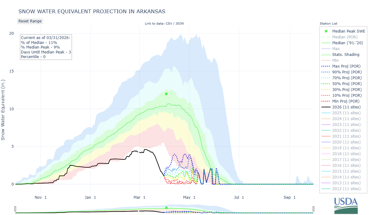
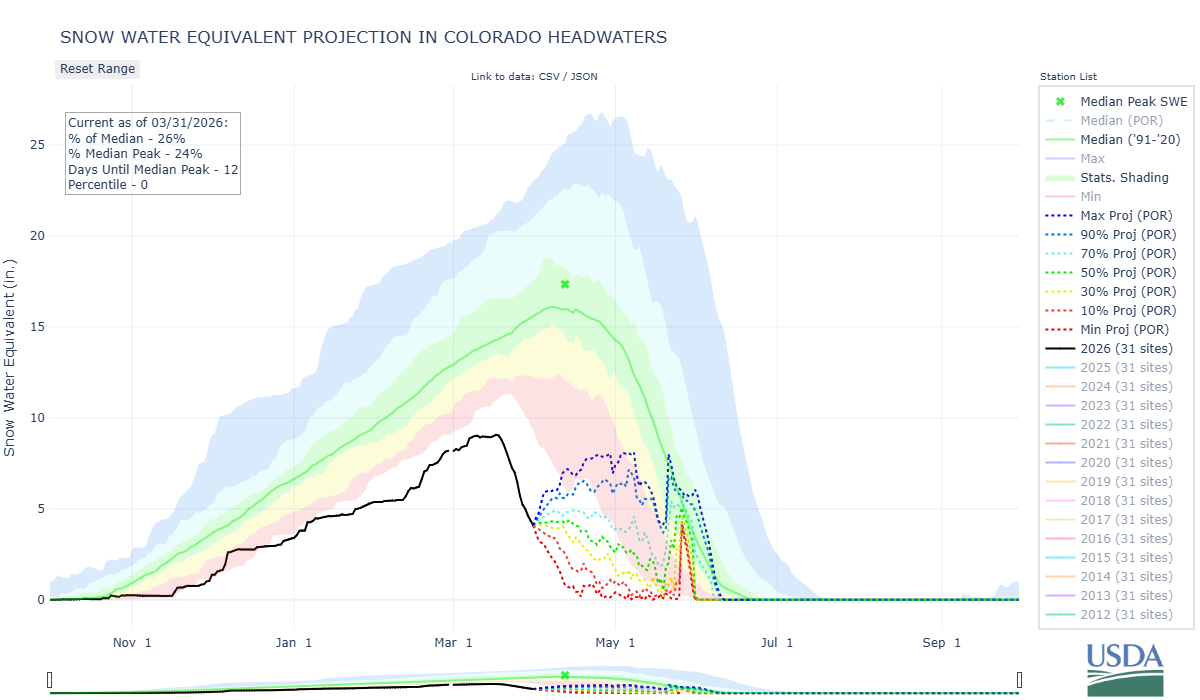
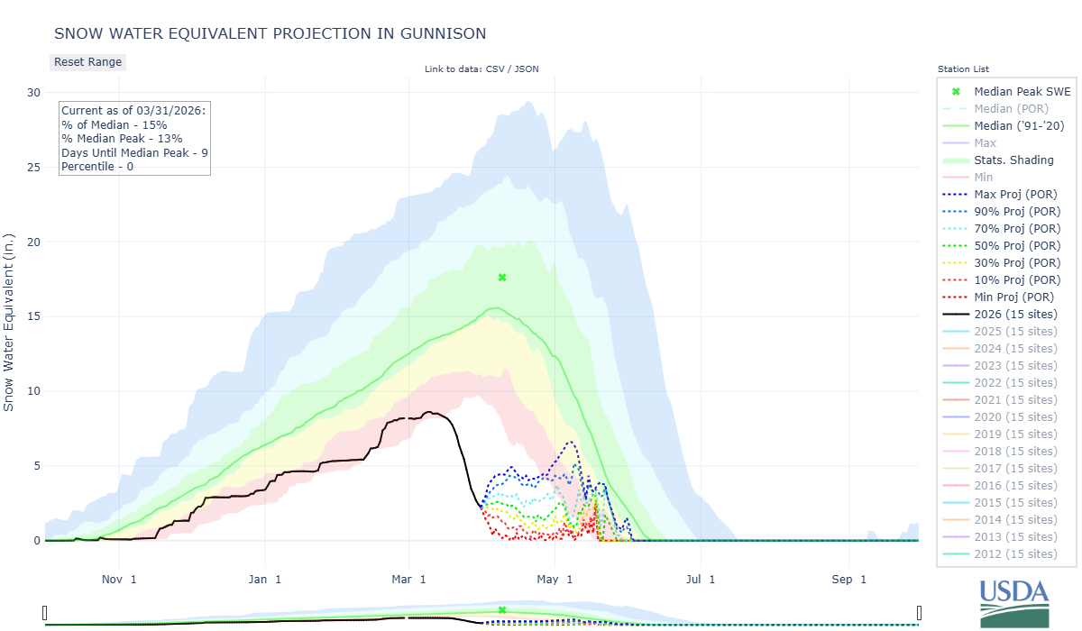
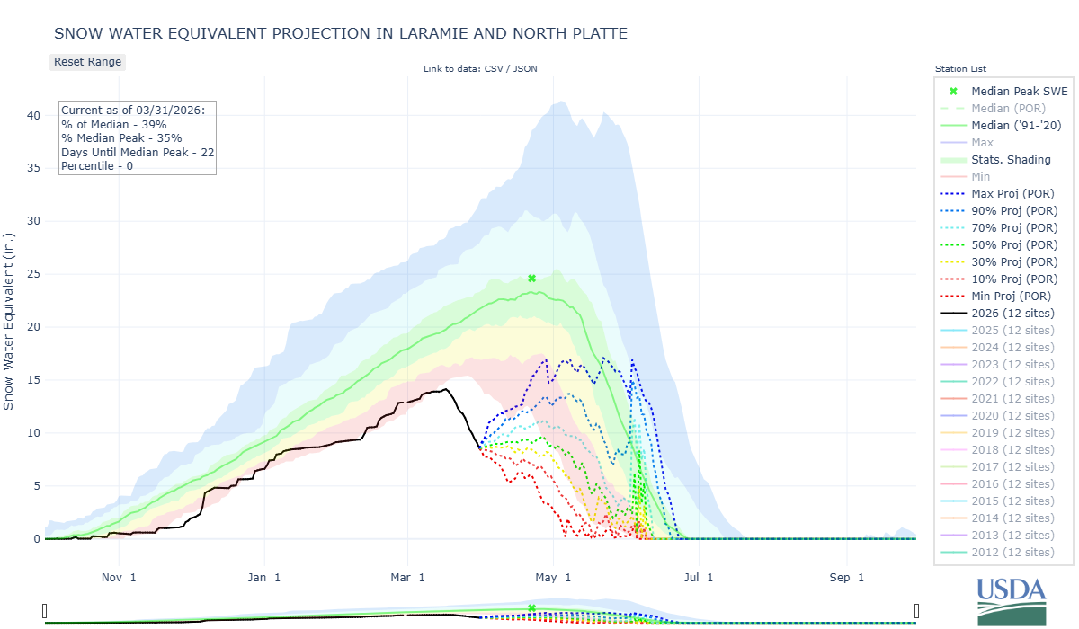
Below: Don’t mean to make you see red but it’s unavoidable. Below is the major basin percent of 1991-2020 median SNOTEL stations.