March 29, 2014
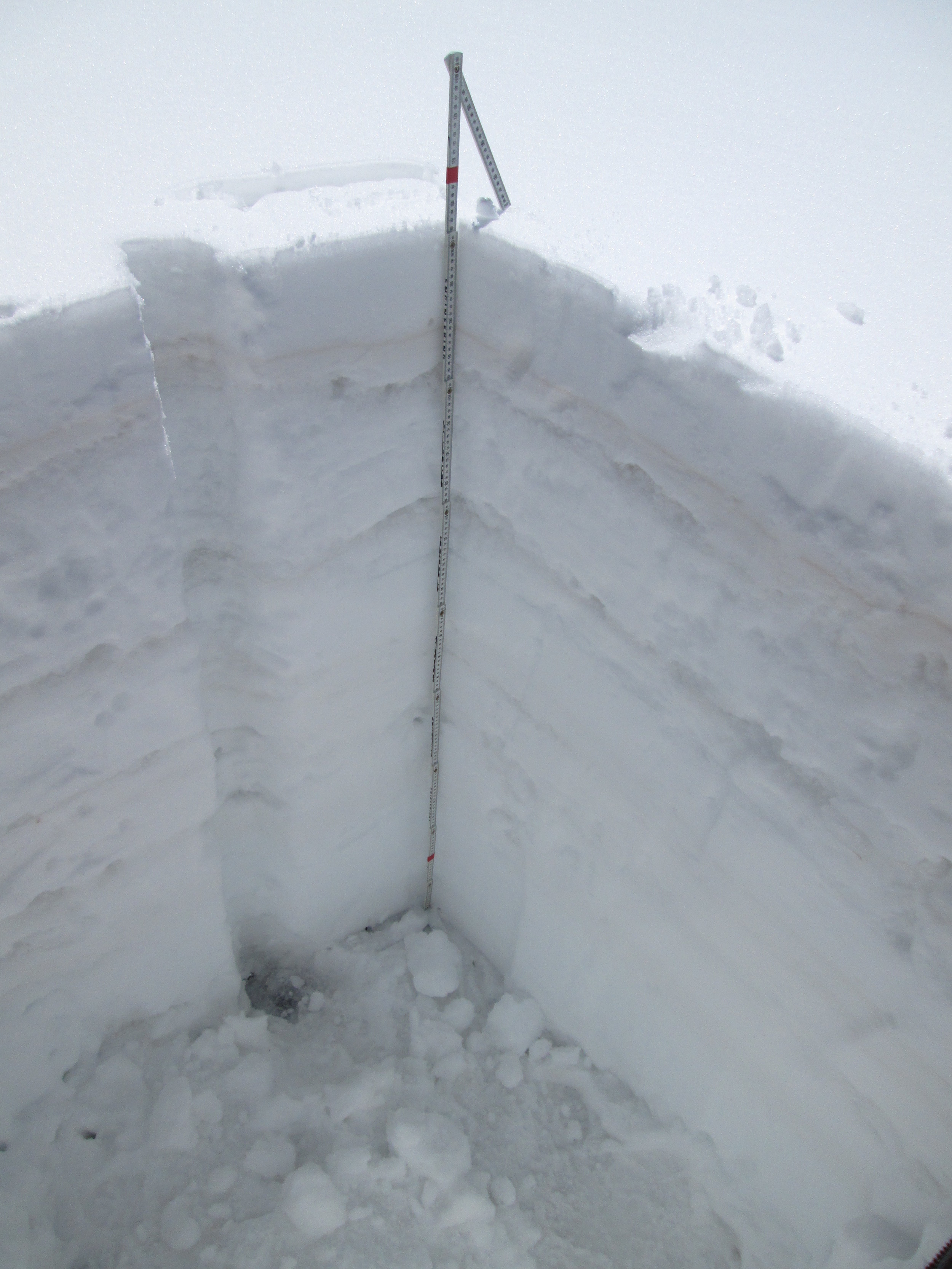
Wolf Creek CODOS snow profile

March 29, 2014
Wolf Creek CODOS snow profile (upper portion). Dust layer D3-WY2014 is clearly visible in a diffuse band 6” below the snow surface. Dust layer D2 may have been present in the thick layer of ice just below D3, but was not visible.

March 29, 2014
Wolf Creek CODOS snow profile (bottom portion). Two additional dust layers were observed in mid-pack, in snow deposited in late January or early February. These two dust layers were not observed and have no analog at the Senator Beck Basin study area. Their depth of burial will result in these layers having only nominal impact on snowmelt, late in the cycle.

May 1, 2013
The CODOS Wolf Creek snow pit site on May 1, 2013, after refilling our snow pit. The depression in the snow surface in the foreground was the location of our first snow profile this season, and another slight depression between it and the freshly refilled pit was the second profile pit location of the season. Freshly dead subalpine fir can be seen in the distance and are widespread at Wolf Creek Pass.

May 1, 2013
Wolf Creek Pass CODOS site. Snowpack ablation and snowmelt runoff was well advanced by early May, with dust layers D8-D3 merged and exposed at the snowpack surface. The entire snowpack was classified as either wet or very wet, with slush at the surface. A concentrated sample of all merged dust layers was collected adjacent to the snow pit for chemical and other analyses by USGS.
May 1, 2013
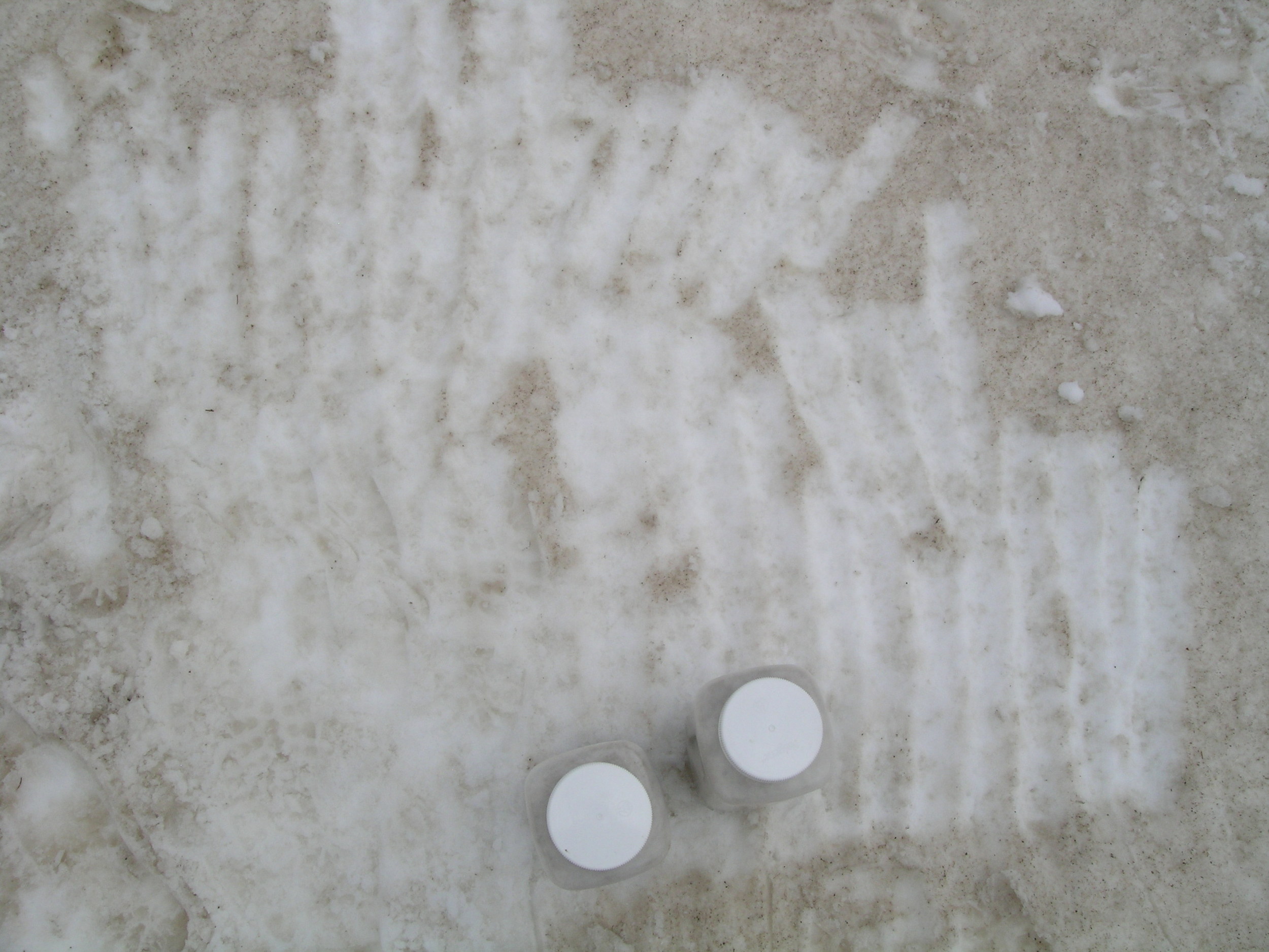
Two bottles of concentrated dust representing “all layers merged” are collected at each CODOS site, maximizing the amount of dust captured in the samples. Still, some loss of the finest dust material to infiltration does occur in the snowpack surface, as seen here. Nonetheless, the vast majority of the dust is recovered by scraping the snowpack surface.

May 1, 2013
Wolf Creek Pass CODOS site. Snowpack ablation and snowmelt runoff was well advanced by early May, with dust layers D8-D3 merged and exposed at the snowpack surface. The entire snowpack was classified as either wet or very wet, with slush at the surface.

April 12, 2013
On April 12 dust layer D6 was strongly present, buried 8” below the surface. Clear evidence of a surface melt episode was observed in the snow immediately below D6 and snow temperatures had warmed from a mean of -2.8° C on March 23 to a mean of -0.15° C, effectively isothermal.

April 12, 2013
D6 intensity at Wolf Creek Pass nearly matches the magnitude of deposition at Senator Beck Basin, located 58 miles to the northwest.

March 23, 2013
Subalpine fir trees next to the CODOS site and throughout the Wolf Creek Pass locale are dying, shedding needles and other debris onto the snow.

March 23, 2013
The Wolf Creek Pass CODOS site adjoins an abandoned bulk snow sampling collector. The Wolf Creek ski area is seen in the distance.

March 23, 2013
The March 23, 2013 snow profile at the Wolf Creek Pass CODOS site. Dust layers D1, D2, and likely D3 were present mid-pack and event D5 was at the surface. Events D2 and/or D3 were substantially stronger than seen at Senator Beck Basin.

May 1, 2012
The Upper San Juan Snotel site on May 1, 2012 looking south from the Highway 160 shoulder. The Snotel station is circled. This open site experiences direct solar inputs comparable to our CODOS snowpit site at Wolf Creek Pass.

May 1, 2012
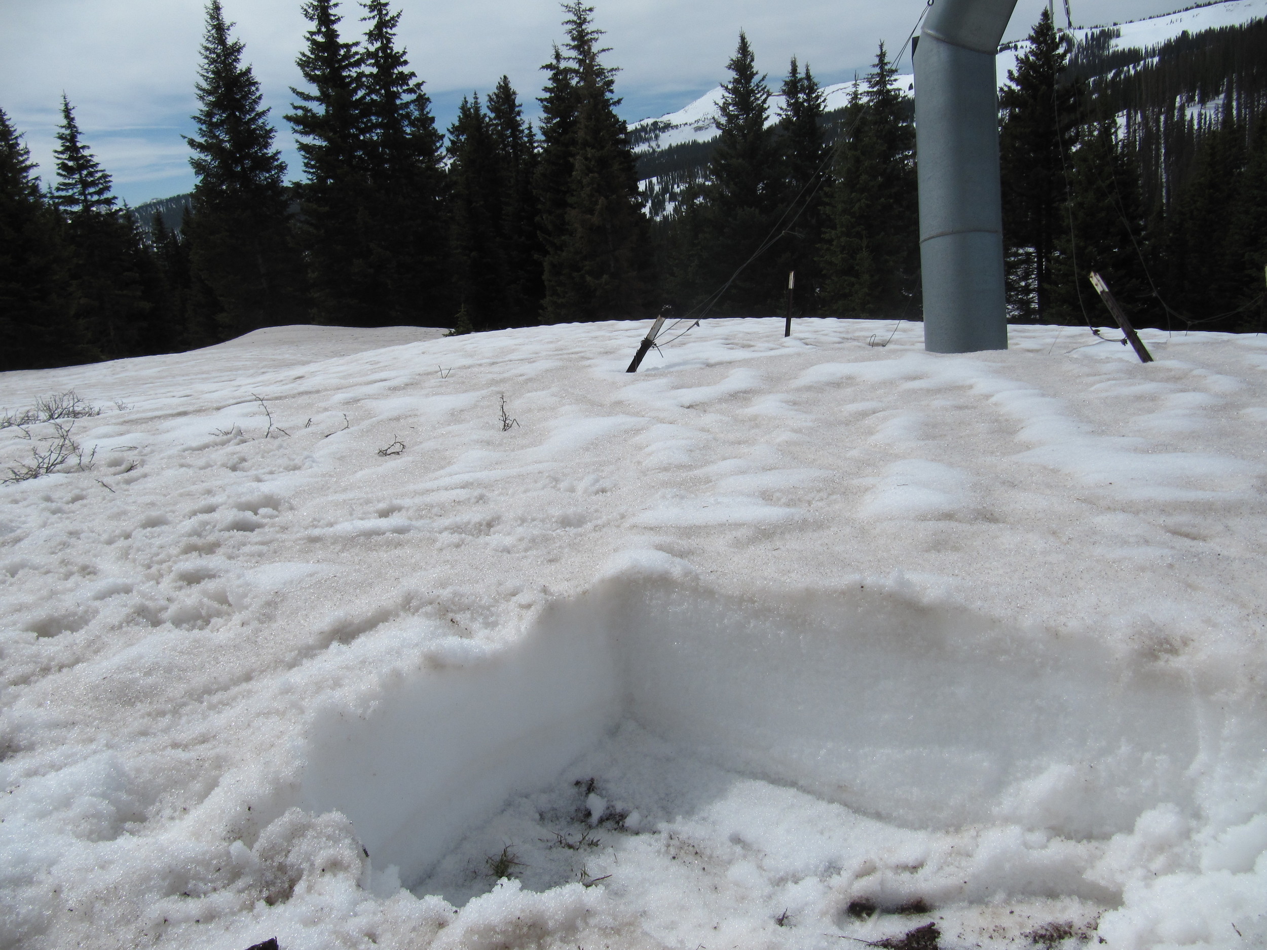
The Wolf Creek Pass CODOS snowpit site approaching SAG on May 1, 2012, with dust layers D3-8 merged at the snowpack surface.
May 1, 2012
Wolf Creek Pass CODOS snow profile.

May 1, 2012
Wolf Creek Pass completed CODOS snow profile.

April 9, 2012
Wolf Creek Pass CODOS site

April 9, 2012
Wolf Creek Pass completed CODOS snow profile.
April 9, 2012
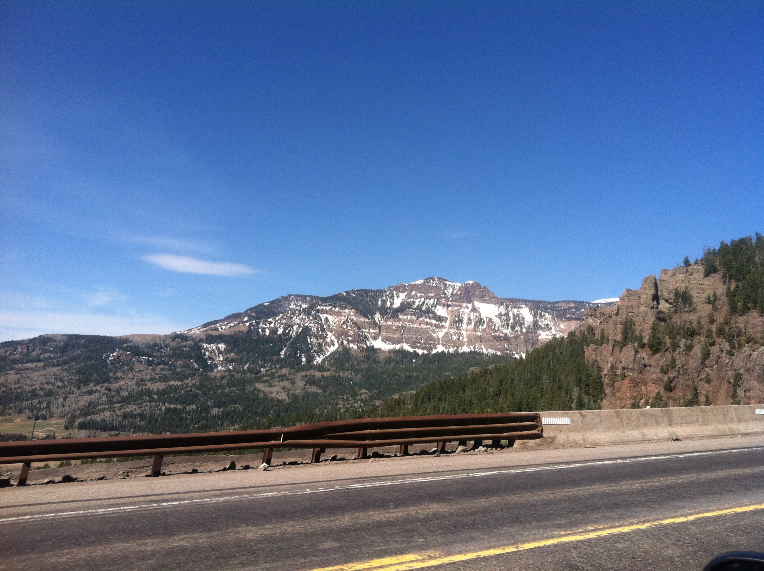
Near Wolf Creek Pass
March 17, 2012
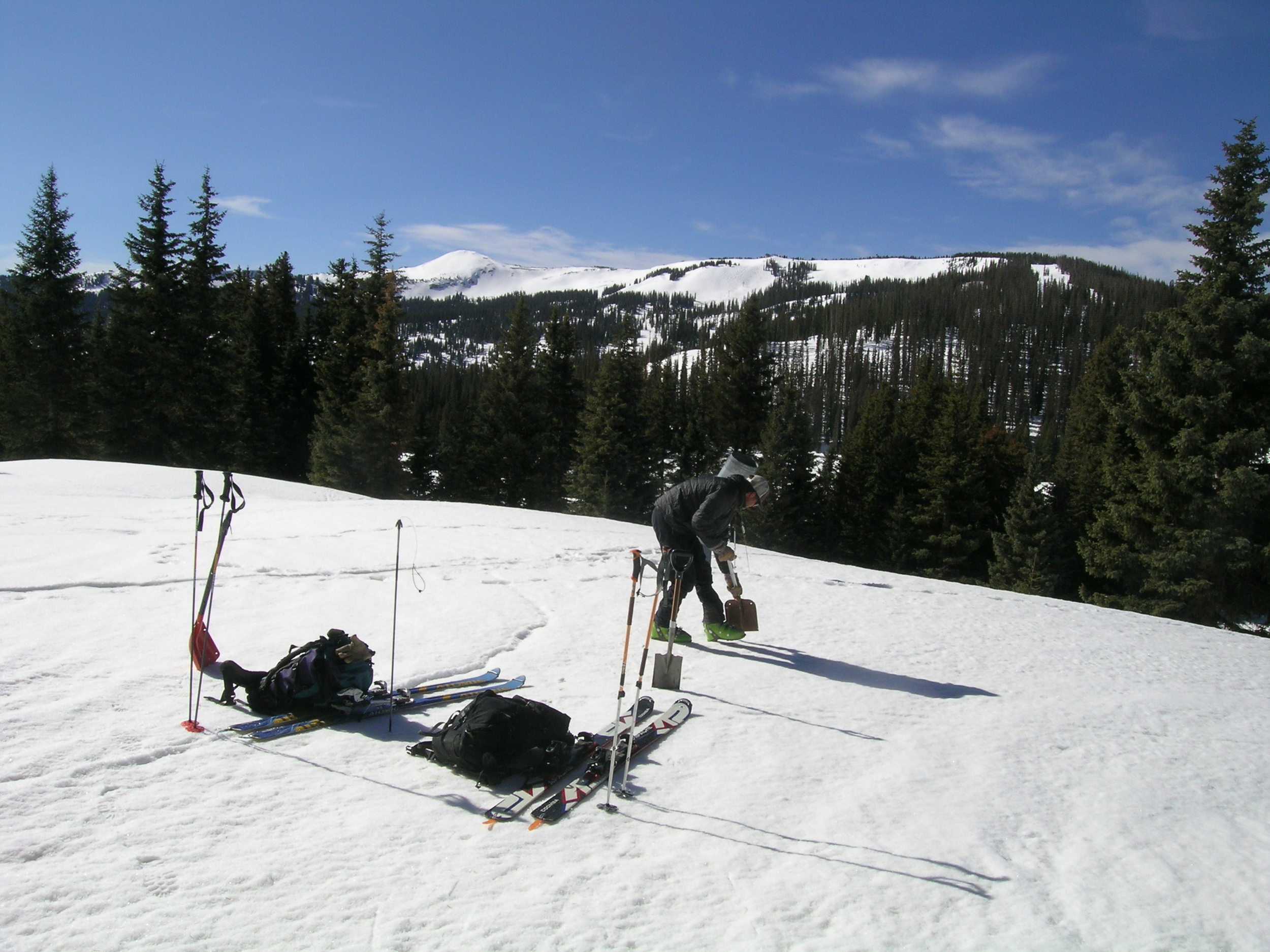
CSAS field assistant Andrew Temple beginning the 63” deep snowpit at the Wolf Creek Pass CODOS site on March 17th, 2012. Wolf Creek ski are is seen in the distance.

March 17, 2012
Wolf Creek Pass completed CODOS snow profile.


