June 3, 2014
The Willow Creek Pass CODOS snow pit site had long since lost all snowcover by June 3, and the adjacent Snotel had also just recorded ‘snow all gone’. However, the alpine terrain on Parkview Mountain and other high terrain in the watershed did retain sufficient snowcover to sustain strong flows in Willow Creek (see below).

June 3, 2014
Willow Creek just a few miles south of Willow Creek Pass.

June 3, 2014
The characteristic fawn color of dust event D8, from May 11, was apparent on much of the snow surface on this east aspect of Parkview Mountain, interspersed with lingering patches of the Memorial Day weekend clean snowfall.

June 3, 2014
Streams in the southern (upper) end of North Park were overflowing, hinting at the high runoff being recorded farther north on the USGS North Platte Near Northgate gauge.

June 3, 2014
The west facing terrain of the Medicine Bow Mountains adjoining North Park retained considerable snow cover on June 3, with dust-on-snow widely exposed.

April 25, 2014
The Willow Creek CODOS site, with Parkview Mountain in the distance

May 10, 2013
A view looking west from State Highway 125, on the approach to Willow Creek Pass, looking toward Parkview Mountain (12,296’). Dust layer D8 was completely emerged at the surface of the lowest snow cover but the alpine terrain showed only small patches of exposed dust.

May 10, 2013
Snowpack ablation and snowmelt runoff was well advanced by May 10, with dust layers D8/D6 merged and just below a layer of recent clean snow undergoing rapid melt. The entire snowpack was classified as “very wet”, with slush at the surface. A concentrated sample of merged layers D8-D5 dust was collected and is undergoing chemical and other analyses by USGS.

May 10, 2013
Dust layer D8, merged with a much weaker D6 layer, was only very thinly covered with effectively transparent snow in the May 10, 2013 snow pit at the Willow Creek Pass CODOS site. The snowpack surface, including the dust layers, was saturated with free water. Parkview Mountain is in the distance.

April 12, 2013
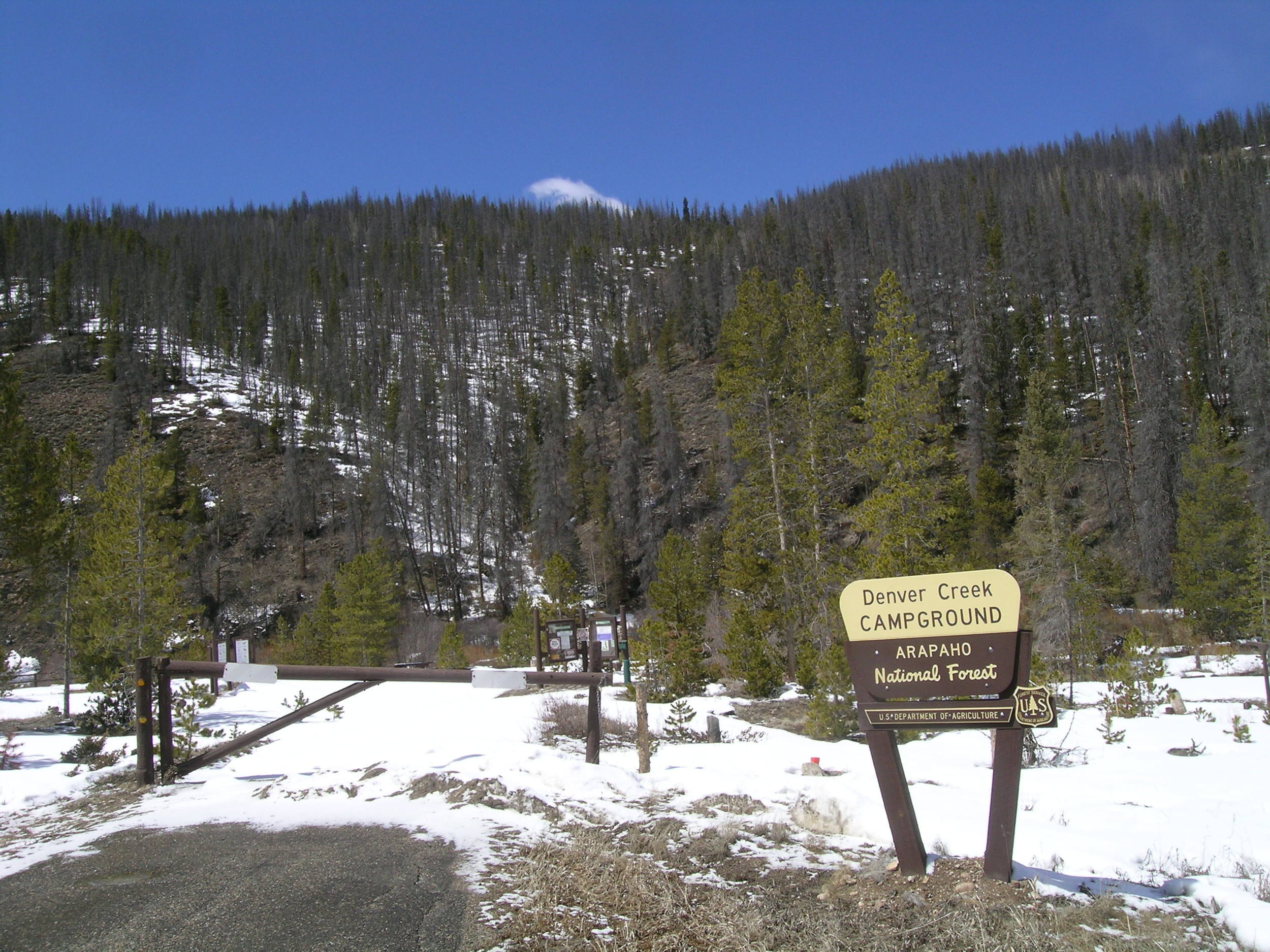
Snowcover was essentially gone in the valley bottom, at the Denver Creek Campground, gone on SE and S and W aspects just above the valley floor, and very thin on NE aspects.

April 12, 2013
Streamflow at the Denver Creek Campground was quite low and apparently has never risen enough to erode snowcover from in-channel high points.

April 12, 2013
Dust layer D6 was strongly present, buried 3” below the surface. Clear evidence of a surface melt episode was observed in the snow immediately below D6 and snow temperatures had warmed from a mean of -2.5° C on March 19 to a mean of -0.4° C, effectively isothermal.

March 19, 2013
Strong winds scoured hay fields along State Hwy 125, between Rand and Walden, depositing snow on the pavement and promptly creating deep slush. North Park contains extensive snow cover.

March 23, 2013
Snow profile at the Willow Creek Pass CODOS site. No dust was discernible in this snowpack, raising hopes that this could be a dust-free season at least in the northern mountains.

March 19, 2013
The snowpit face has been brushed to reveal a re-frozen melt water "flow finger", with a 4" x 6" crystal card for scale. Free water from surface melt often establishes preferred, vertical flow paths through underlying layers. As that free water encounters significant snow density or porosity changes, at layer boundaries, water may move laterally until finding a weakness through which to penetrate into the next layer down. Or, free water may accumulate and lubricate at a layer boundary over wide areas, weakening layer-to-layer bonding and eventually releasing a wet avalanche.

April 10, 2012
Our observations of Willow Creek found the stream well below bank full as seen in the photo below. This photo also shows the results of last spring's very intense runoff, moving very large woody debris down the channel and causing significant alterations to the channel bed and banks.

March 15, 2012
Andrew Temple digs the Willow Creek Pass CODOS snow pit.

March 15, 2012
Willow Creek Pass CODOS site.

April 9, 2012
The long-since snow-free Willow Creek Pass CODOS snowpit site on April 9th, 2012 and in the next photo, over a month later in the prior season, on May 17th, 2011, still with an 88 cm (35”) deep snowpack.

May 17, 2011
Willow Creek Pass CODOS site on May 17th, 2011, still with an 88 cm (35”) deep snowpack. The previous photo shows long-since snow-free Willow Creek Pass CODOS snowpit site a month earlier on April 9th, 2012.

April 17, 2008
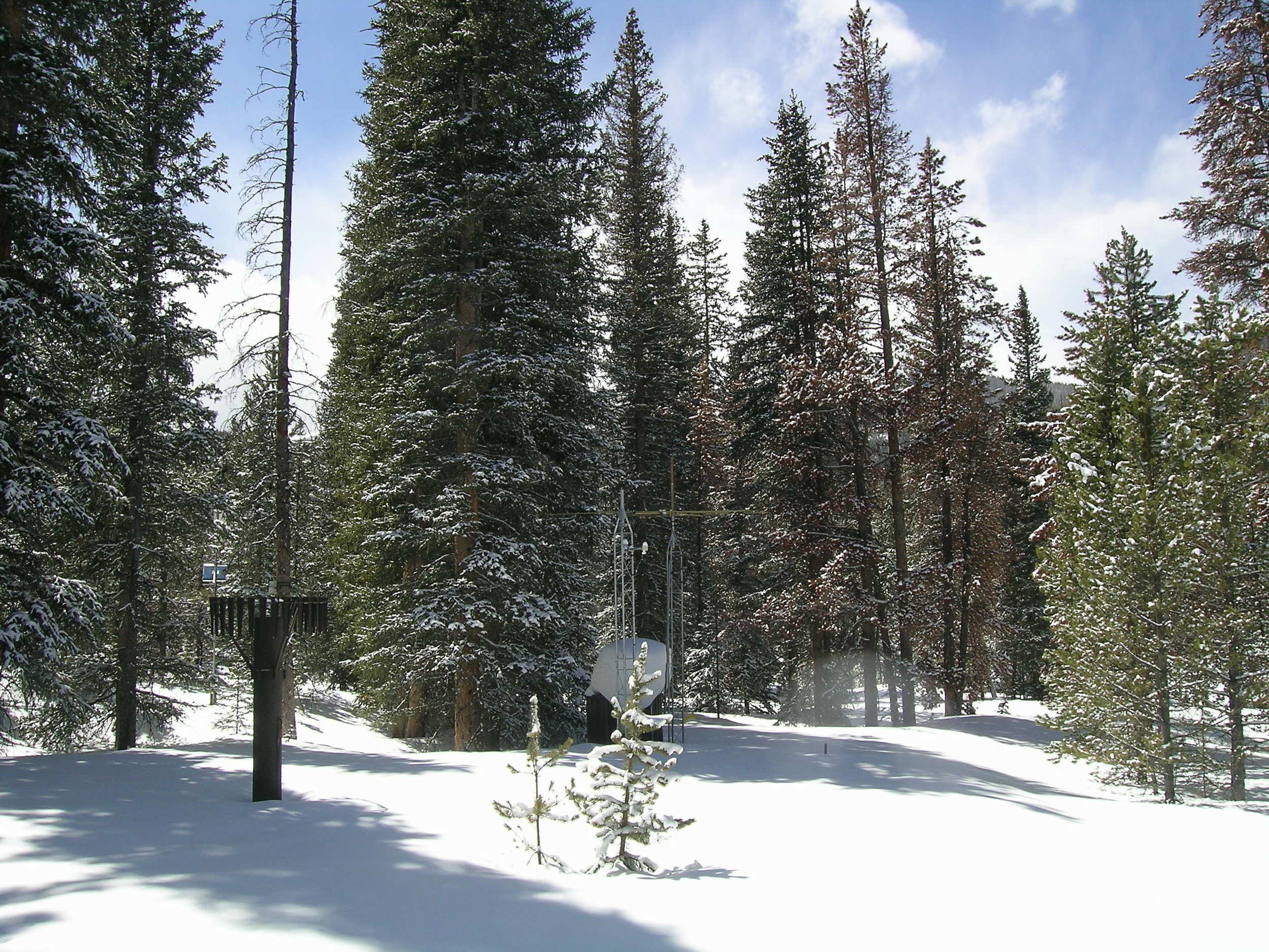
A view of the Willow Creek Pass Snotel site looking south on April 17th, 2008. Although beetle kill may have further reduced the density of this tree cover, some shading of the snow pillow is still reducing the influence of dust on snowmelt rates at this site.


