April 24, 2014
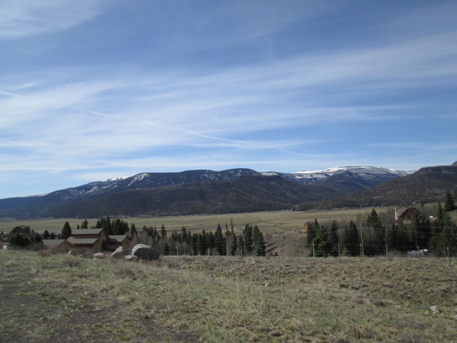
Brown and Hermit Lakes with Rio Grande Pyramid in the distance

April 24, 2014
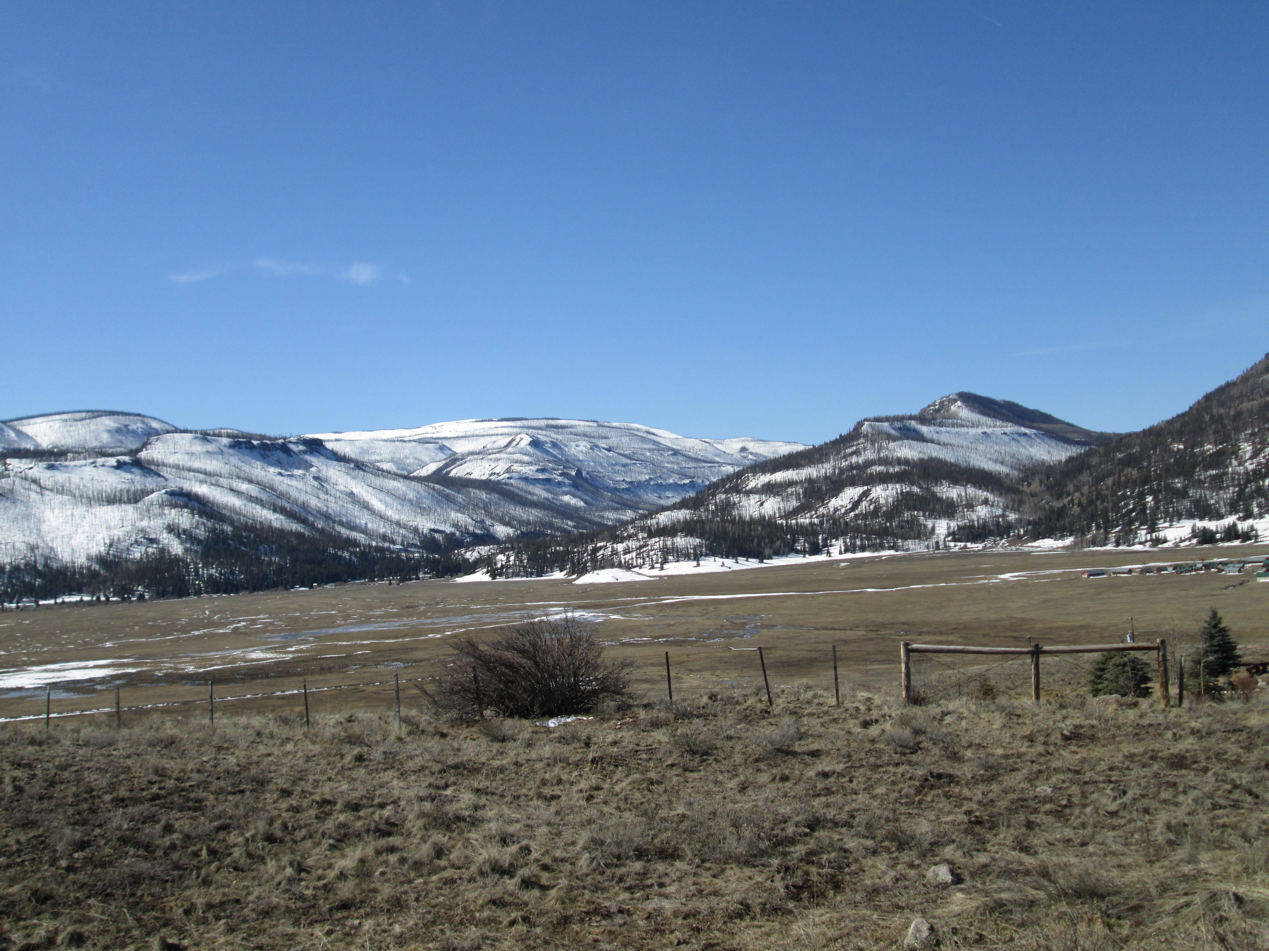
Papoose Fire burn area with snowcover receded to highest elevations

March 29, 2014

March 29, 2014

March 29, 2014
Heavy, clean snowcover blanketed the Spring Creek Pass locale as dust layer D3-WY2014 lay just below the surface. CSAS field assistant Andrew Temple is seen returning from the completed snow profile, at the site in the distance.

March 29, 2014

March 29, 2014

March 29, 2014

May 1, 2013
The Spring Creek CODOS site on May 1, 2013, as Andrew Temple approaches in sneakers.

April 12, 2013
On April 12 dust layer D6 was strongly present, buried 6” below the surface. Clear evidence of a surface melt episode was observed in the snow immediately below D6 and snow temperatures had warmed from a mean of -6.9° C on March 23 to a mean of -3.0° C.

April 12, 2013
D6 intensity nearly matches the magnitude of deposition at Senator Beck Basin, only 30 miles to the west. The Rio Grande headwaters, at Stony Pass, are just 12 miles southeast of Senator Beck Basin.

April 12, 2013
The Spring Creek Pass CODOS site, looking north toward Spring Creek Pass proper.

March 23, 2013
CSAS field assistant Andrew Temple preparing the March 23, 2013 snow pit at the Spring Creek Pass CODOS site, with peak Baldy Cinco (13,383’) in the distance.

March 23, 2013
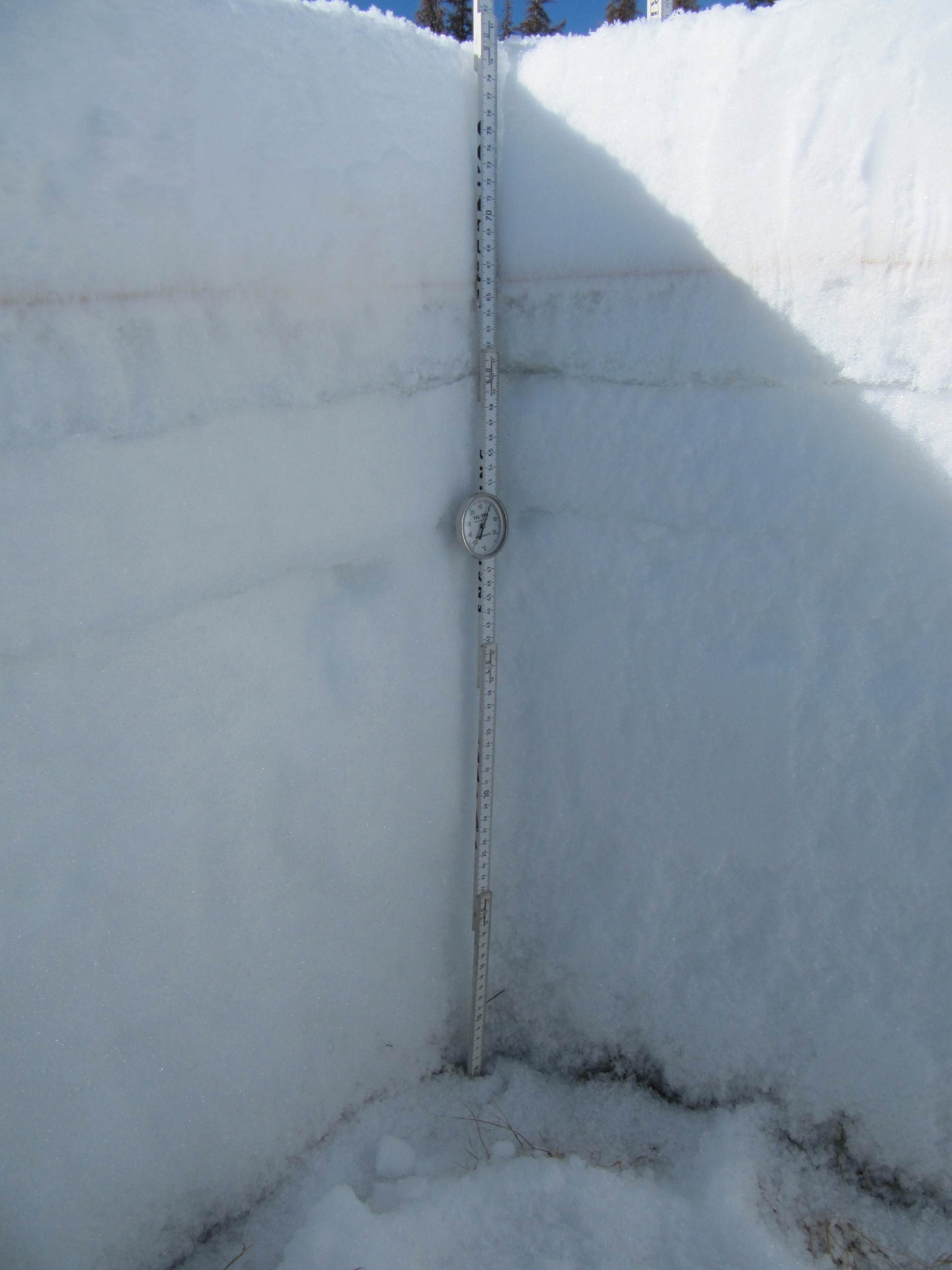
The March 23, 2013 snow profile at the Spring Creek Pass CODOS site. A weak dust layer D2 was present mid-pack and strong hints of event D5 were at/in the surface and that event was verified farther down valley.

March 23, 2013
Down valley from the CODOS site, just before descending to the Rio Grande valley floor, dust layer D5 was exposed in patches on the snow surface, where wind had stripped away new snow.

March 23, 2013
Tracks lead to the Spring Creek Pass CODOS snowpit site, as seen after returning to State Hwy 149.

May 19, 2012
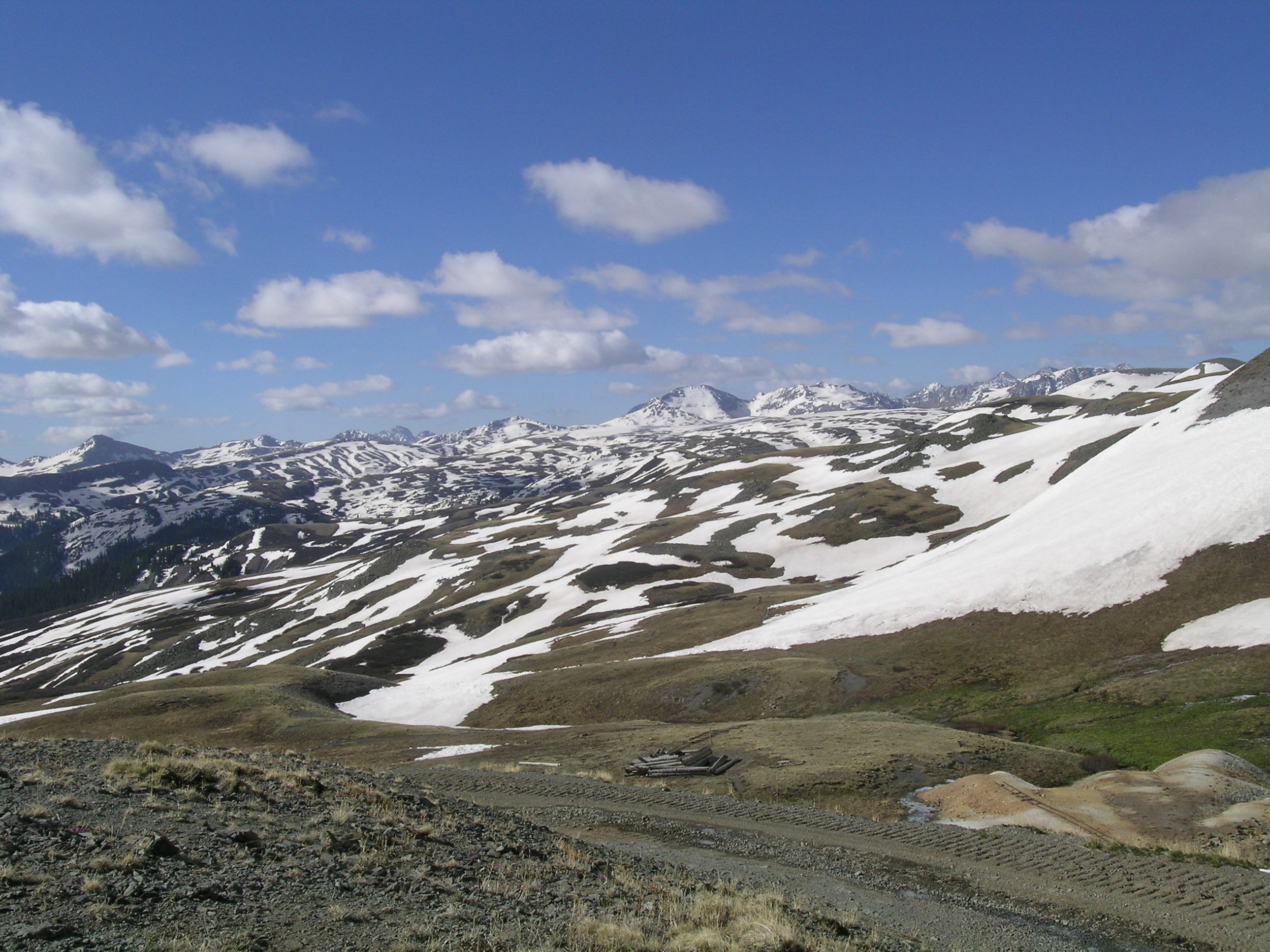
The upper Rio Grande headwaters as seen from Stony Pass on May 19th, 2012. This rare mid-May opening of the Stony Pass road opening was possible because of the season’s sub-par snowpack and early snowmelt cycle. Dust-on-snow conditions at Stony Pass closely resembled those observed at Senator Beck Basin at the time.

April 9, 2012
Rio Grande headwaters

March 17, 2012
Views of the Brown Lakes on March 17th and April 9th (next photo) in spring 2012 showing the considerable loss of snowpack.

April 9, 2012
Views of the Brown Lakes on April 9th and March 17th (previous photo) in spring 2012 showing the considerable loss of snowpack.

April 9, 2012
Spring Creek Pass CODOS snowpit site on the distant slope on April 9th, 2012. At lower elevations, much of the March snowpack had also disappeared.

March 17, 2012
View of Spring Creek CODOS site

March 17, 2012
CSAS field assistant Andrew Temple returning to the car after completing our March 17th snowpit at the Spring Creek Pass CODOS site. The shallow snowpit can be seen in the distance near the left edge of the photo, below the forest edge.

March 17, 2012
Andrew Temple in Spring Creek CODOS snow pit.

March 17, 2012
Spring Creek Pass snow profile.


