

Hoosier Pass CODOS Reference & Archives
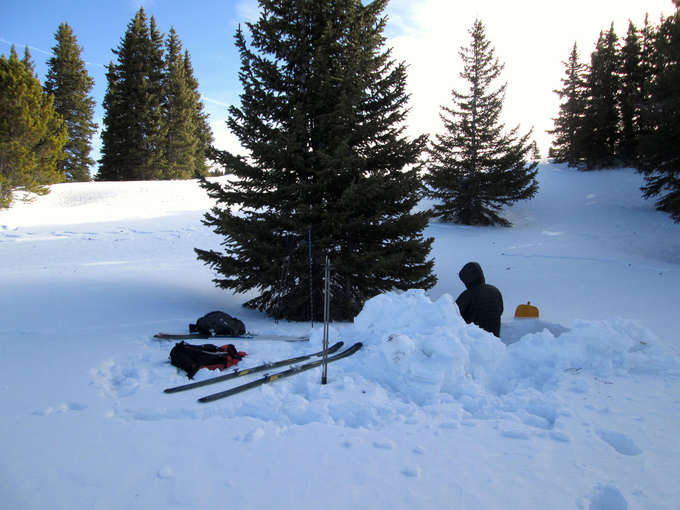
Andrew Temple at the Hoosier Pass CODOS Site, April 9, 2017
Elevation: 11,400'
Latitude: 39°21'32.48"N
Longitude: 106°3'29.55"W
Slope: 3° Aspect: SW
Adjoining Watersheds: Blue River, South Platte, Tarryall Creek
Associated Snotel: Hoosier Pass
Andrew Temple at the Hoosier Pass CODOS Site, April 9, 2017