June 5, 2014
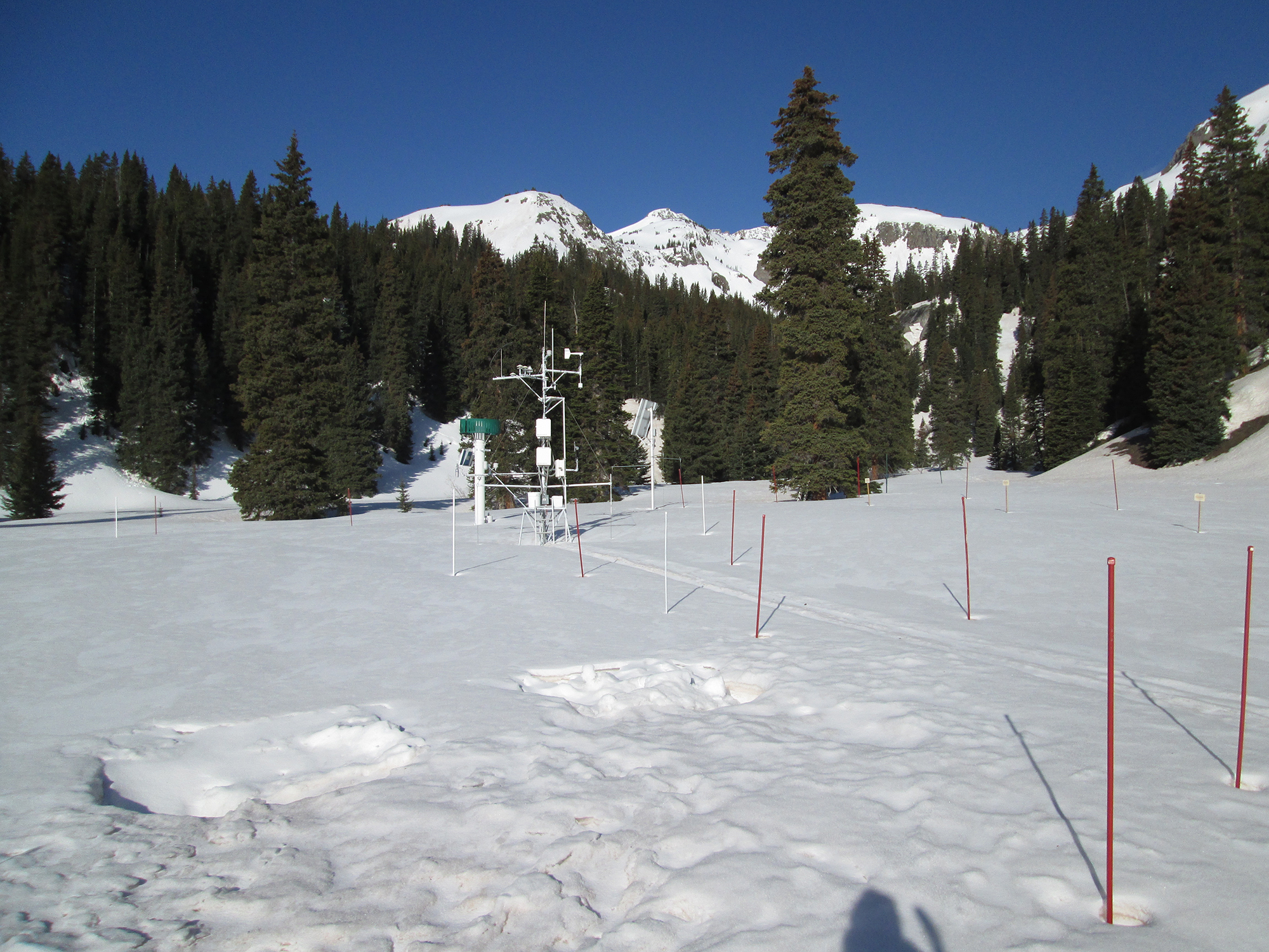
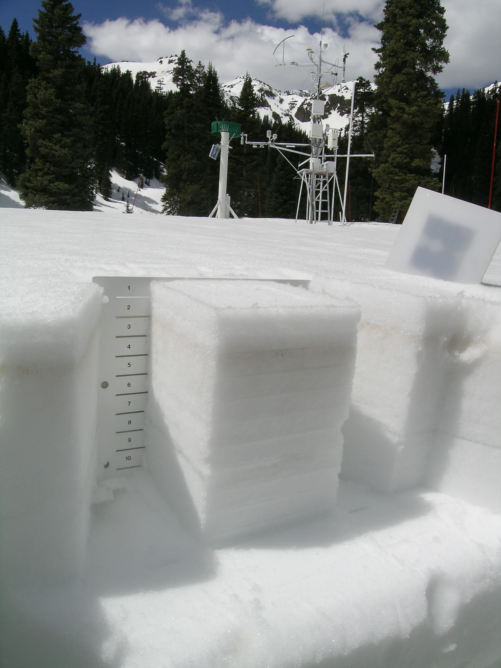
Upon return from the CODOS circuit, the Swamp Angel Study Plot (SASP, at 11,060’) at Senator Beck Basin was on the cusp of “snow all gone” (SAG), with all dust layers D2-D8 merged at the snowpack surface. Dust conditions, dust color, and reductions in snow albedo here were very similar to those observed at Grand Mesa, Independence Pass, and our Front Range CODOS sites. (The snow surface at our Rabbit Ears Pass CODOS site was, if anything, generally darker than this due to accumulated vegetation debris).

June 5, 2014
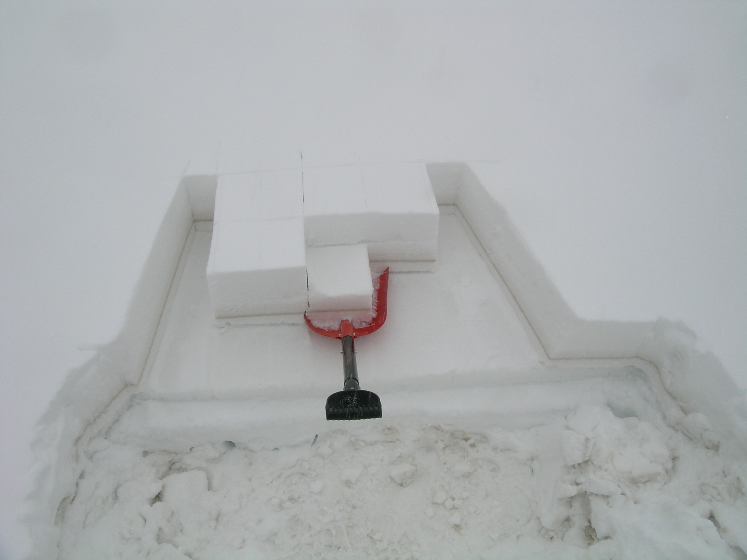
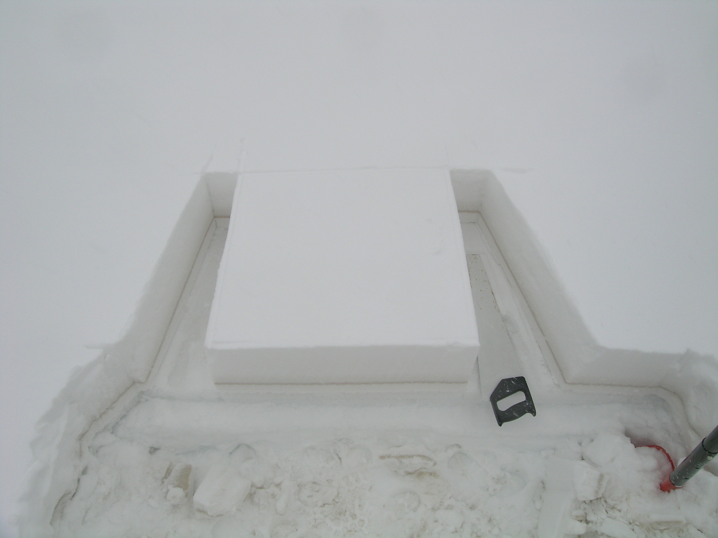
Our final snow profile of the season at Swamp Angel Study Plot (SASP) on June 5 documented the loss of almost 30” (75 cm) of snow depth and 13.9” (352 mm) of SWE since the preceding snow profile on May 28. Even with a few lingering inches of clean snowfall from the Memorial Day weekend storm, and that brief restoration of high snow albedo, snowmelt had averaged 1.7” (44mm) of SWE per day during that 8-day interval. Snowmelt around the instrument mast was somewhat more rapid and had already revealed bare ground. The remaining snowcover and 5” of SWE seen in this snow pit was all gone within 48 hours.

May 28, 2014
En route to the Senator Beck Study Plot, with dust emerging and sub-nivean streams running fast and strong.

May 28, 2014
Several inches of fresh, clean snow on Memorial Day weekend had yet to melt and reveal the underlying merged dust layers D3-7 in the highest, north-facing alpine terrain in Senator Beck Basin, but dust layer D8 was just a couple of inches below the new snow and absorbing solar radiation. Snow albedo at Senator Beck Study Plot at noon this day was 0.58 (58% reflectance).

May 28, 2014
As is typical in the alpine, dust intensity was fairly weak in our Senator Beck Study Plot snow profile #22’s ‘shady corner’, but significantly stronger in the other corners (as seen in the photo linked to this profile, above).

May 28, 2014
Every spring the wetland adjacent to our Swamp Angel Study Plot produces these large snowpack collapses into flowing water beneath.

May 28, 2014
An “all layers merged” sample of the merged dust layers D3-D8 at Swamp Angel Study Plot was collected for analysis by our USGS partners. Dust layers D2 and D1 were too deeply buried to include in the sample. Percolation stains from melt water containing very fine dust can be seen in the clean snow where the sample was collected. This sample had a surface area of about 1.2 square meters. Snow albedo (broad band) at the time of this sampling was 0.43 (43% reflectance).
May 21, 2014
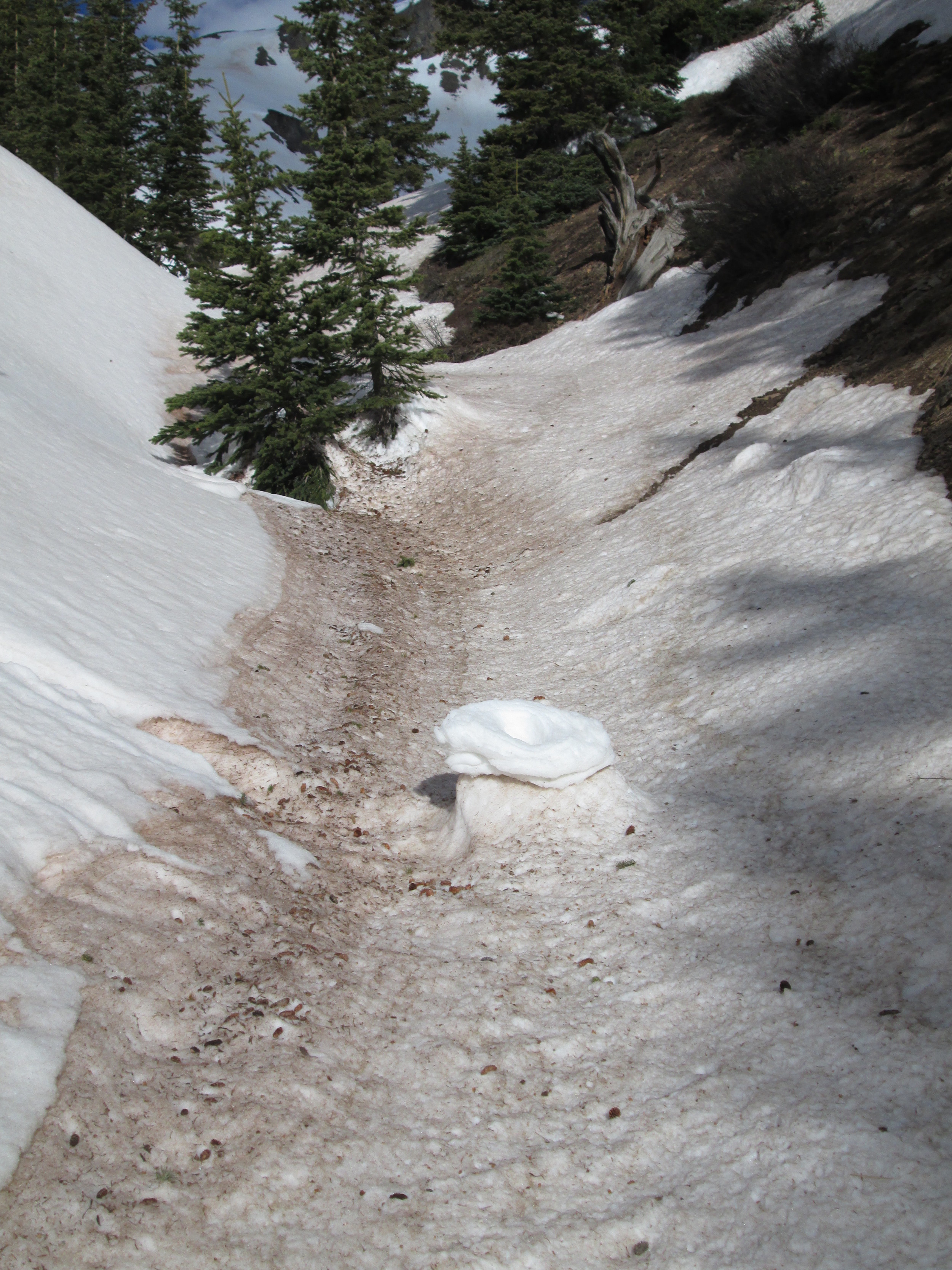
Another example of differential melt rates between clean snow – the clean snow ‘donut’ roller from Storm #24 – and dirty snow. The Storm #24 snow is still visible on the white, north-facing side of this gully, where the roller originated, whereas all of Storm #24 was ablated from the bottom and south-facing side of the gully. This white ‘donut’ has survived over a week of sunshine.

May 21, 2014
Northeast facing terrain en route to the Senator Beck Study Plot.

May 21, 2014
Andrew Temple approaching the Senator Beck Study Plot, at 12,180’. Dust layer D8 was widespread and is clearly evident on the snow surface to the right of the tower. The very dirty patches below the distant ridgeline are merged D3-D8 dust. Much of the dust in the alpine terrain in Senator Beck Basin is still buried underneath Storm #23 and #24 snow but dust layer D8 is accelerating the ablation of that cleaner snow.

May 21, 2014
On south and southeast aspects in Senator Beck Basin, absorption of solar energy in dust layer D8 produced enough melt to initiate extensive “wet-loose” avalanches scouring down to the underlying merged D3-7 dust layer.
April 27, 2014
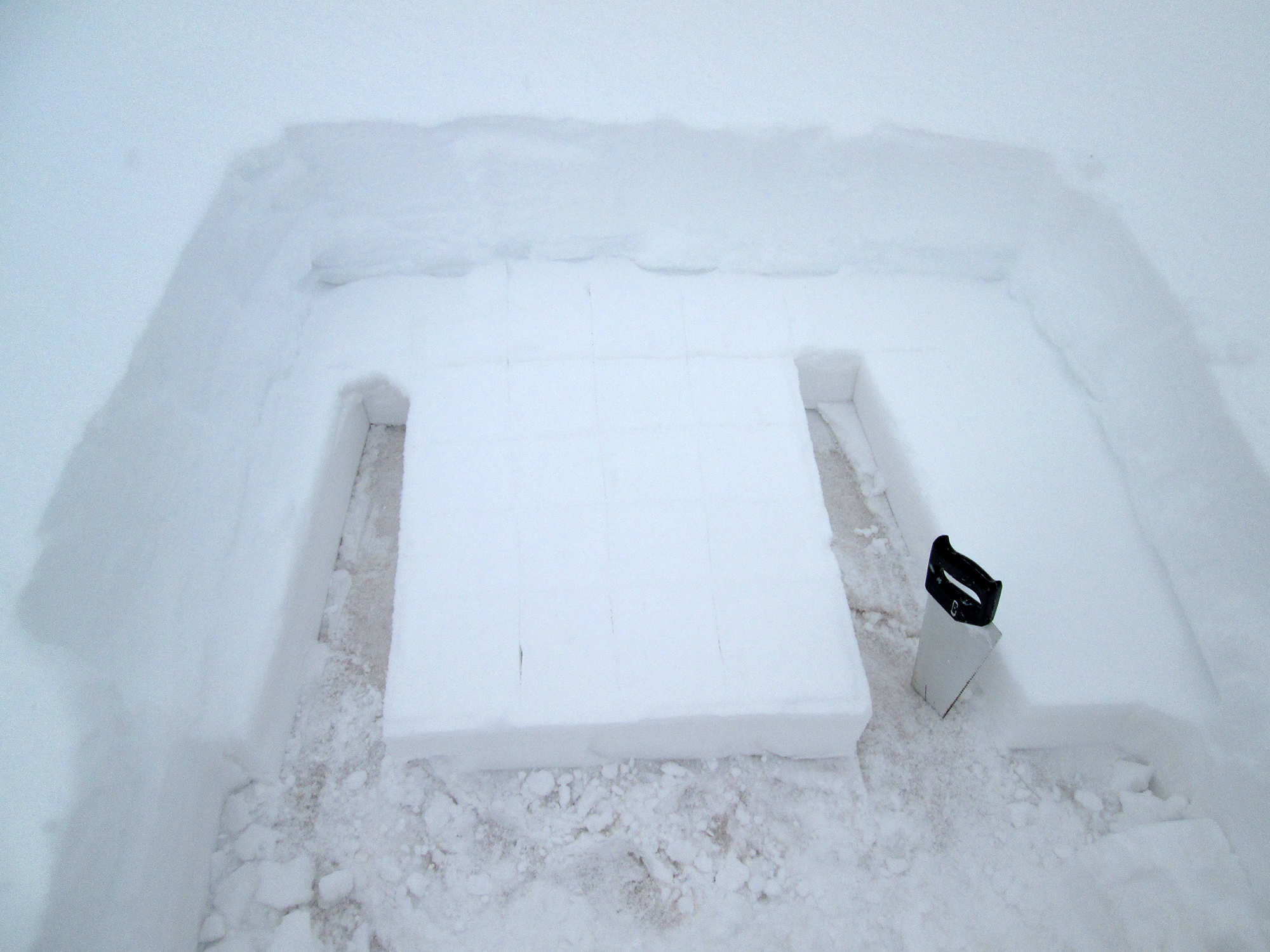
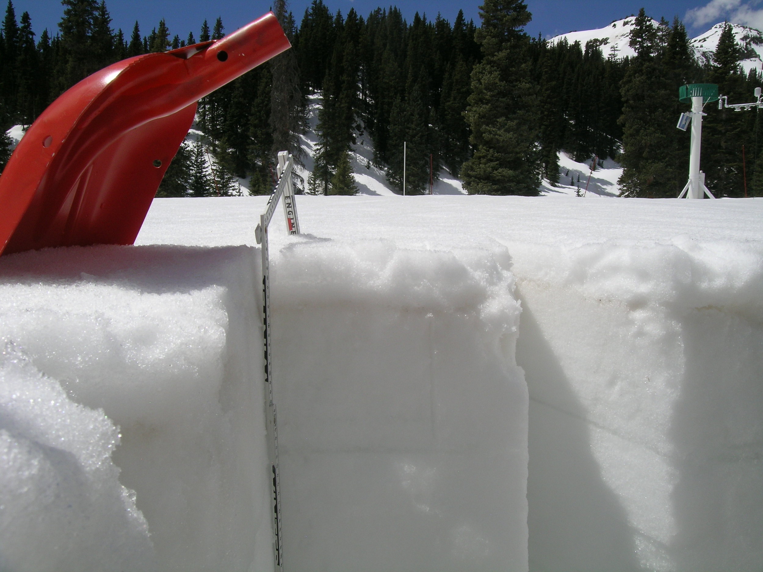
Swamp Angel Study Plot - photo shows the depth of burial of the D7 layer during collection of the standard 0.5 m2 sample.
April 27, 2014
Swamp Angel Study Plot - photo shows the depth of burial of the D7 layer during collection of the standard 0.5 m2 sample.
April 23, 2014
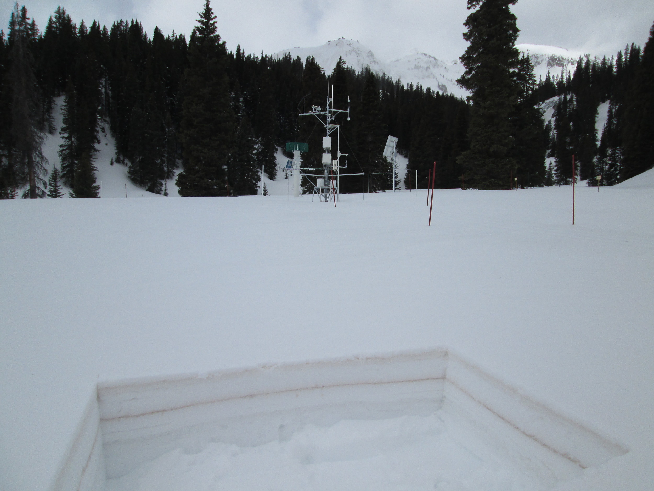
Swamp Angel Study Plot with dust-on-snow event D6 seen as a patchy stain in the snow surface.
April 4, 2014
Swamp Angel Study Plot at Senator Beck Basin

April 4, 2014
Swamp Angel Study Plot at Senator Beck Basin

March 28, 2014
Swamp Angel Study Plot at Senator Beck Basin

March 28, 2014
Swamp Angel Study Plot at Senator Beck Basin

March 28, 2014
Swamp Angel Study Plot at Senator Beck Basin




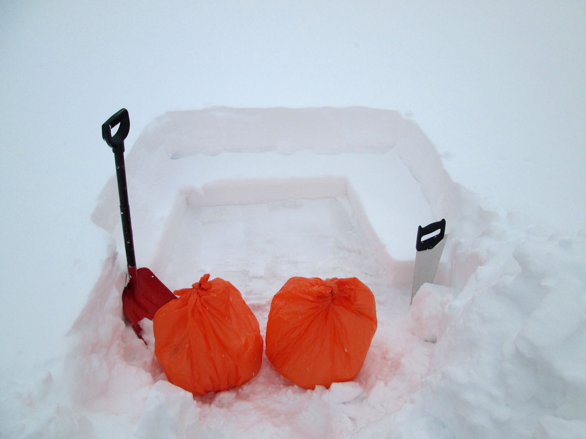
Andrew Temple hauls the D6 sample out in orange trash bags
