April 25, 2014
D4/D3 seen in the snow surface at the Rabbit Ears CODOS site

April 25, 2014
Andrew Temples deploys the steel sod shovel in dense snow at Rabbit Ears Pass

April 25, 2014
Chris Landry in the 2.31 m (91”) Rabbit Ears snowpit, containing 945 mm (37.2”) SWE

May 2, 2012
Snowpack on Rabbit Ears Pass, in an open meadow at the headwaters of Walton Creek, on May 2nd, 2012 (as compared to a year earlier, on June 9, 2011 (next photo). This meadow was likely snow-free well before the final D12 dust event of 2012, on May 26th, whereas the final event of spring 2011, D11 on May 29th, fell onto a still very deep snowpack, substantially reducing snow albedo and enhancing snowmelt runoff.

June 9, 2011
Snowpack on Rabbit Ears Pass, in an open meadow at the headwaters of Walton Creek, on June 9, 2011, as compared to a year after on May 2nd, 2012 (previous photo) . The final event of spring 2011, D11 on May 29th, fell onto a still very deep snowpack, substantially reducing snow albedo and enhancing snowmelt runoff.

May 10, 2013
A view from US Highway 40 of headwaters of Walton Creek on the evening of May 10, 2013. Dust layer D8 was widely exposed at the snowpack surface. In some meadows, very rapid melt had produced ponds of standing water at the snowpack surface. Interestingly, D8 intensity seemed greater on the east side of the Rabbit Ears Plateau than on the west edge, where this photo was taken and where the CODOS site is located, near the Rabbit Ears Snotel.

April 12, 2013
Rabbit Ears Pass CODOS snow profiles are performed some 100 yards from the same-named Snotel, in the center of a large wetland clearing where contamination of the snow with tree debris is reduced and solar radiation can reach the snowpack.

April 10, 2012
Rabbit Ears snotel.

May 2, 2012
A view of the Rabbit Ears Pass Snotel site approach SAG on May 2nd, 2012. This site has a slightly southwestern aspect. Although part of the snow pillow has melted open (closest to the camera), 14” of snow containing 3.0” of SWE were still being measured over the remainder of the pillow. A small clearing in the forest just beyond the Snotel had lost all snowpack. Our CODOS site, which slopes 4 to the north-northwest, still had 56 cm (22”) of snow containing 233 mm (9.2”) of SWE on this date.

May 11, 2013
Snowpack ablation was well underway by May 11, with dust layers D8/D6/D5/D4 merged at the snowpack surface. The snowpack was effectively isothermal. A concentrated sample of merged layers D8-D5 dust was collected that day near the Rabbit Ears Pass CODOS site, at a more south-facing site where surface thaw was underway. That sample is undergoing chemical and other analyses by USGS.

April 12, 2013
The prepared April 12 snowpit, ready for the observer.

April 12, 2013
On April 12 dust layer D6 was strongly present in the Rabbit Ears pass CODOS site snow profile, buried 8” below the surface. D6 appeared to have merged with layers corresponding to events D5 and D4. Clear evidence of a surface melt episode was observed in the snow immediately below the merged D6/D5/D4 dust and snow temperatures had warmed from a mean of -3.9° C on March 20 to a near-isothermal mean of -0.6° C. All snow below the merged dust was at 0.0° C.

March 20, 2013
Snow profile at the Rabbit Ears Pass CODOS site. Only a very faint layer likely representing dust event D4 was visible in the snow pit. Snow temperatures were cool at a mean of -3.9° C.

March 20, 2013
After completing our CODOS profiles, we refill the snow pit as a safety measure. This also reduces the lateral migration of warm air temperatures that an open snowpit would enable, conserving the site's remaining snowpack for additional snow pits later in the spring.

April 10, 2012
Rabbit Ears CODOS snow profile

March 15, 2012
Rabbit Ears CODOS pit profile.

March 15, 2012
Rabbit Ears CODOS pit profile.

March 15, 2012
Rabbit Ears CODOS pit profile.

April 10, 2012
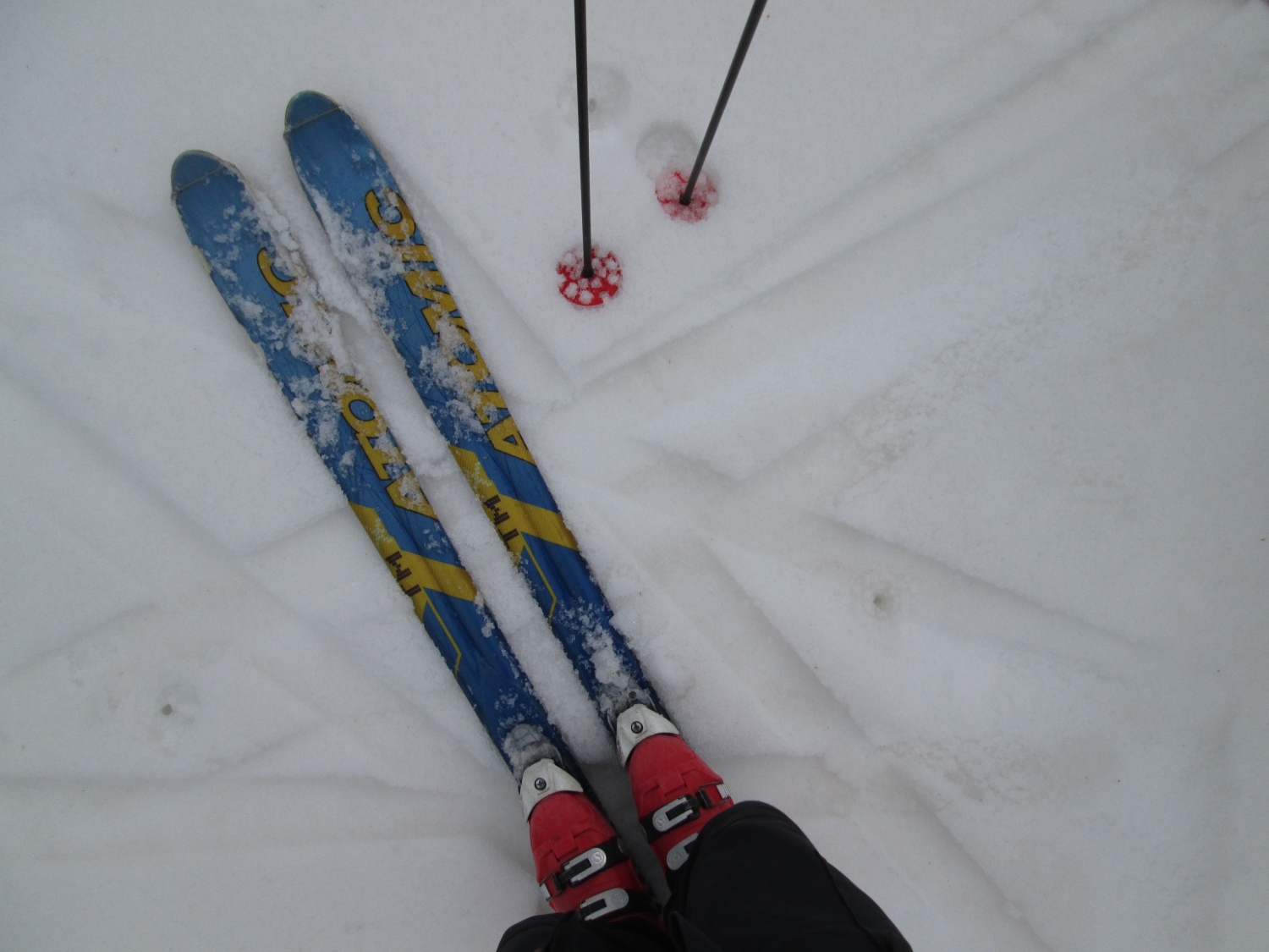
Ski tracks from the Rabbit Ears CODOS site.

April 10, 2012
Chris Landry begins digging the Rabbit Ears snow pit.

April 10, 2012
Completed Rabbit Ears snow profile.

May 2, 2012
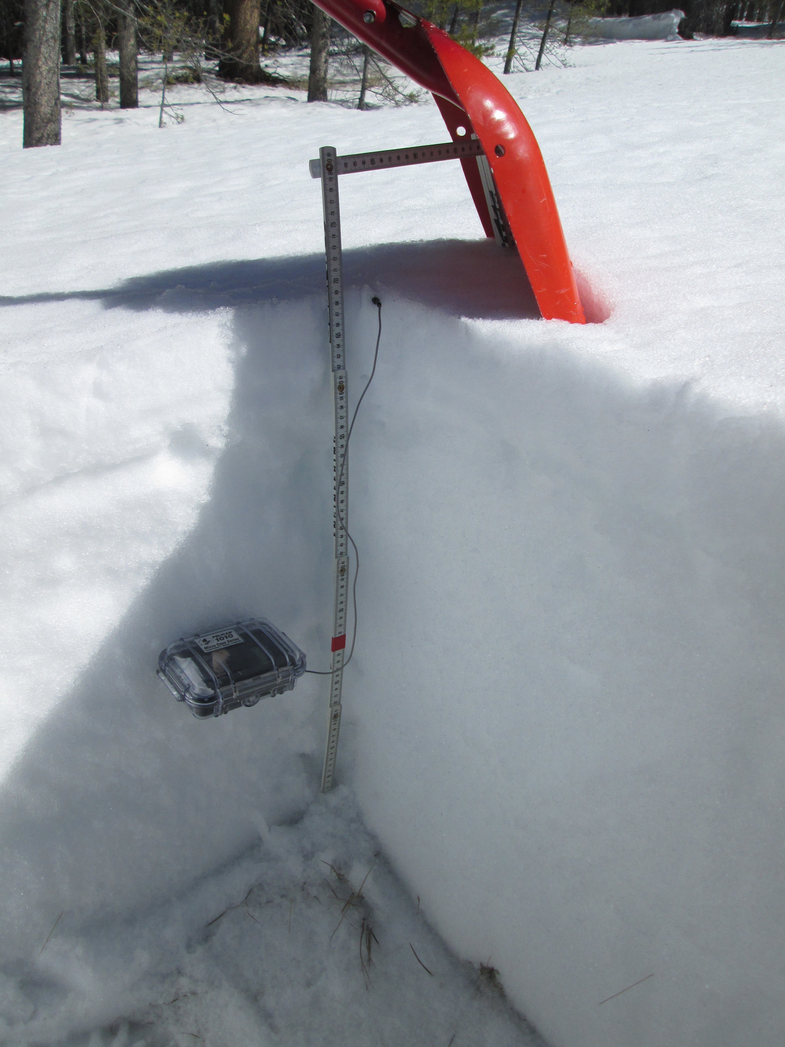
Digging at the Rabbit Ears CODOS site.

June 3, 2014
Open parks on the Rabbit Ears Pass plateau were exhibiting very rapid snowmelt in very dirty snow, generating extensive sheet flow, standing water, and ‘lakes’ of slushy snow, as seen on the late afternoon of June 3.

June 3, 2014
The often-photographed (by CODOS) headwaters of Walton Creek displayed extensive loss of snowpack. Runnels are seen in the remaining snow, where very rapid snowmelt had produced downslope (versus vertical) “preferred flow channels” for melt water, similar to eroded gullies. Suncupping is also apparent, as pockmarks in the snow surface caused by depressions above vertically oriented “preferred flow paths” for melt water. Dust and reduced snow albedo enhanced both processes in this sunny, southwest-facing terrain.

June 4, 2014
The CODOS Rabbit Ears CODOS snow pit site is located in a large wet meadow surrounded by heavy and comparatively healthy forest. Evidence of our two prior snowpits is seen in the foreground, at 7:30 AM on June 4.

June 4, 2014
Considerable snowmelt had occurred at the CODOS site since our prior April 25 visit, reducing snowpack depth from 91” (231 cm) to just 28” (70 cm), 4” of which was ‘liquid snow’ (the dark, standing water at the base of the snowpack, as seen in the pit corner). Snowmelt at the nearby Rabbit Ears Snotel had frequently exceeded 2” of SWE loss per day in the preceding weeks. All dust layers had merged at the snowpack surface and an ‘all layers merged’ sample was collected. Dust layer D8 was present but less dominant at Rabbit Ears Pass than at CODOS sites farther south, somewhat masked by considerable amounts of darker tree debris, accumulated from most of the winter.


