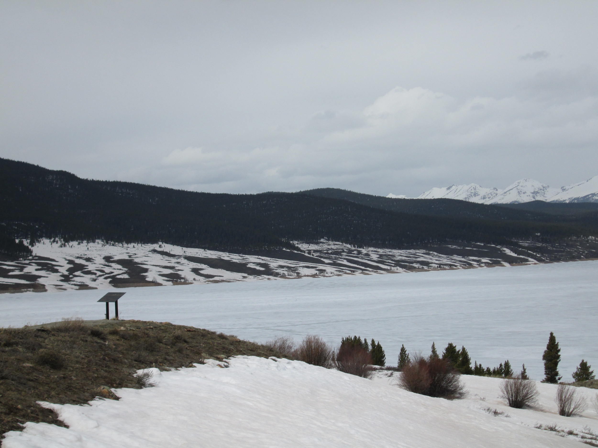
April 23, 2014
Taylor Park with D4/D3 widely exposed
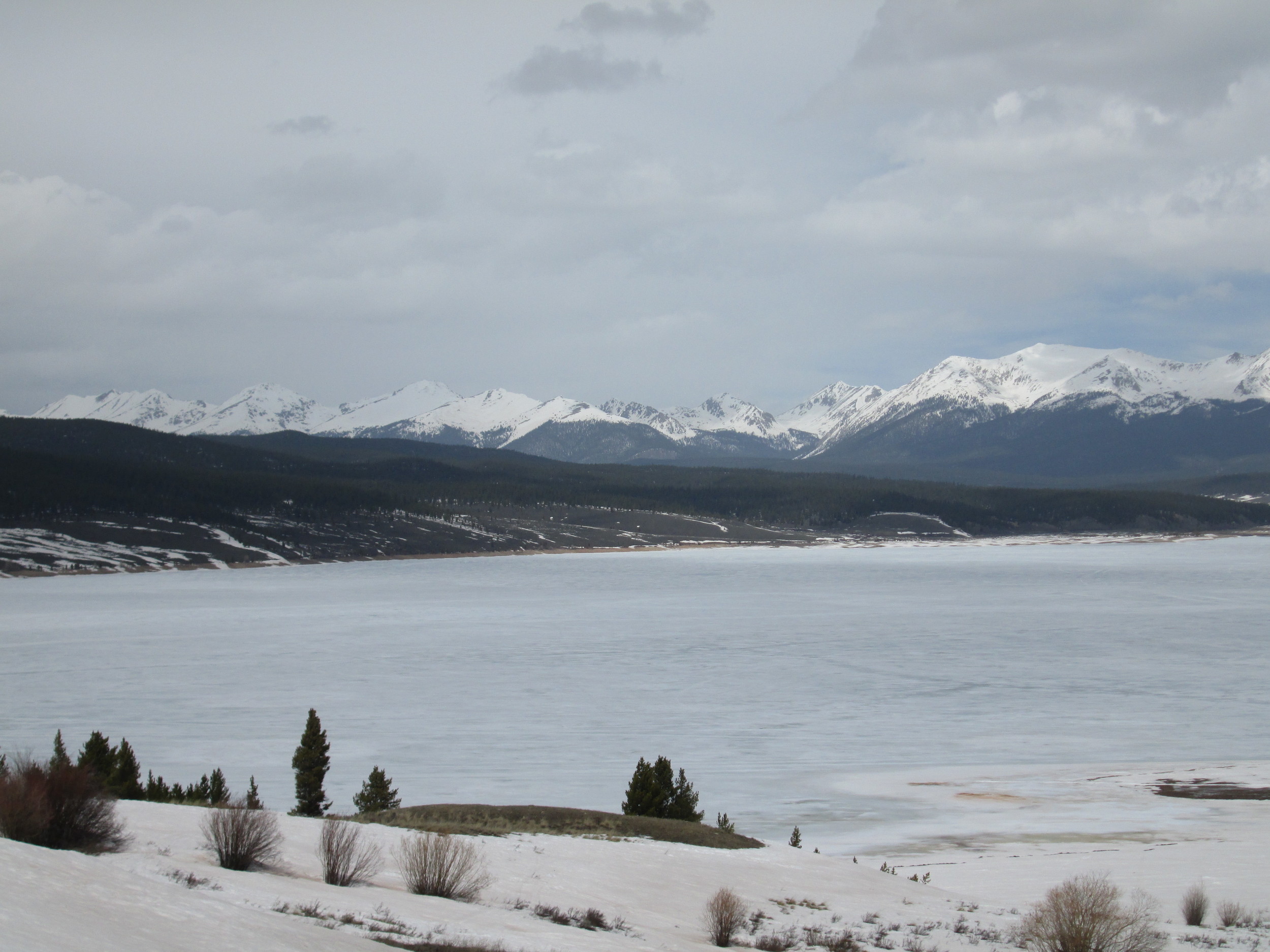
April 23, 2014
Taylor Park with D4/D3 widely exposed

April 23, 2014
Taylor Park with D4/D3 widely exposed
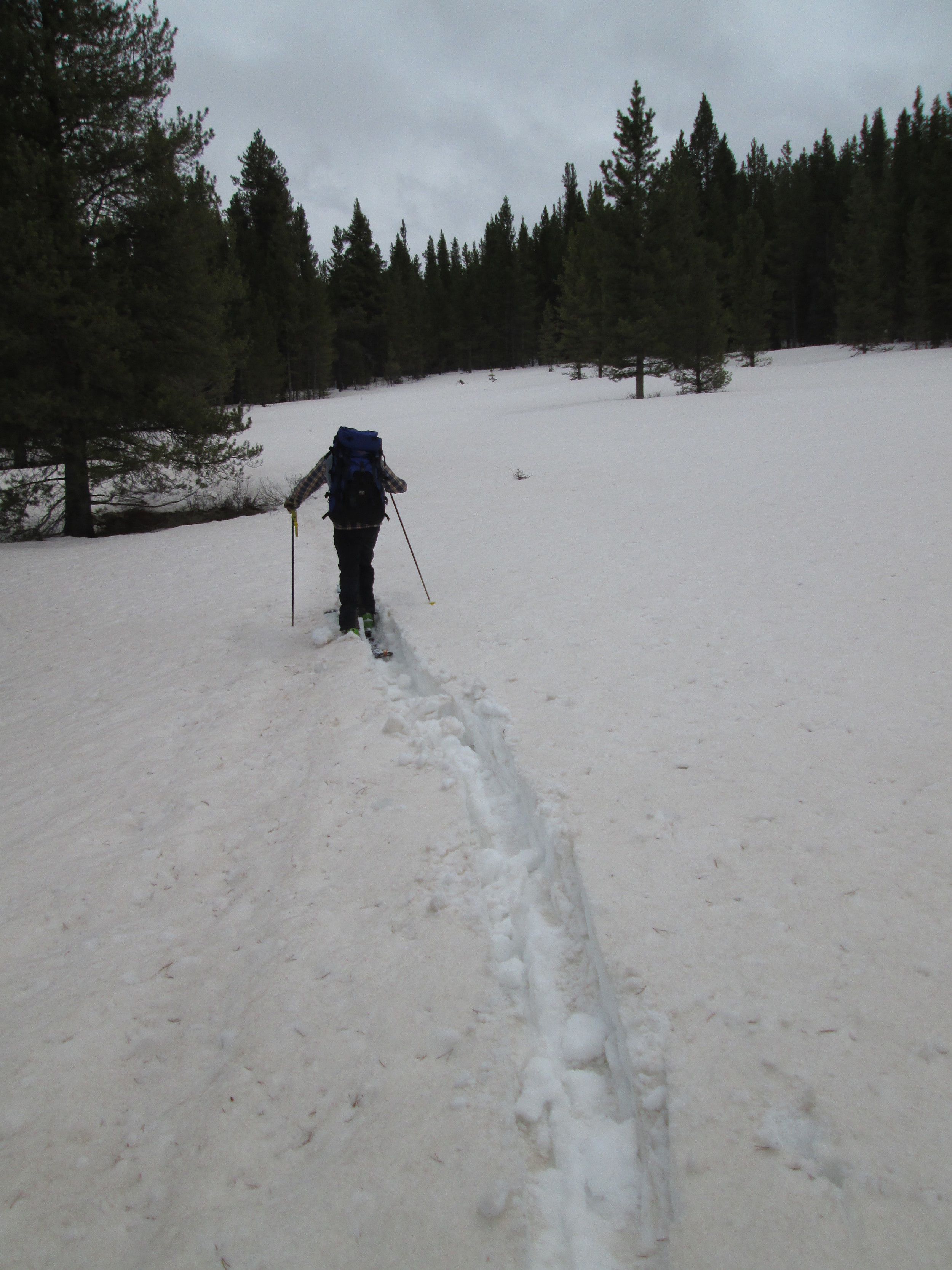
April 23, 2014
Approaching Park Cone CODOS Site

April 23, 2014
Mount Crested Butte with D4/D3 extensively exposed
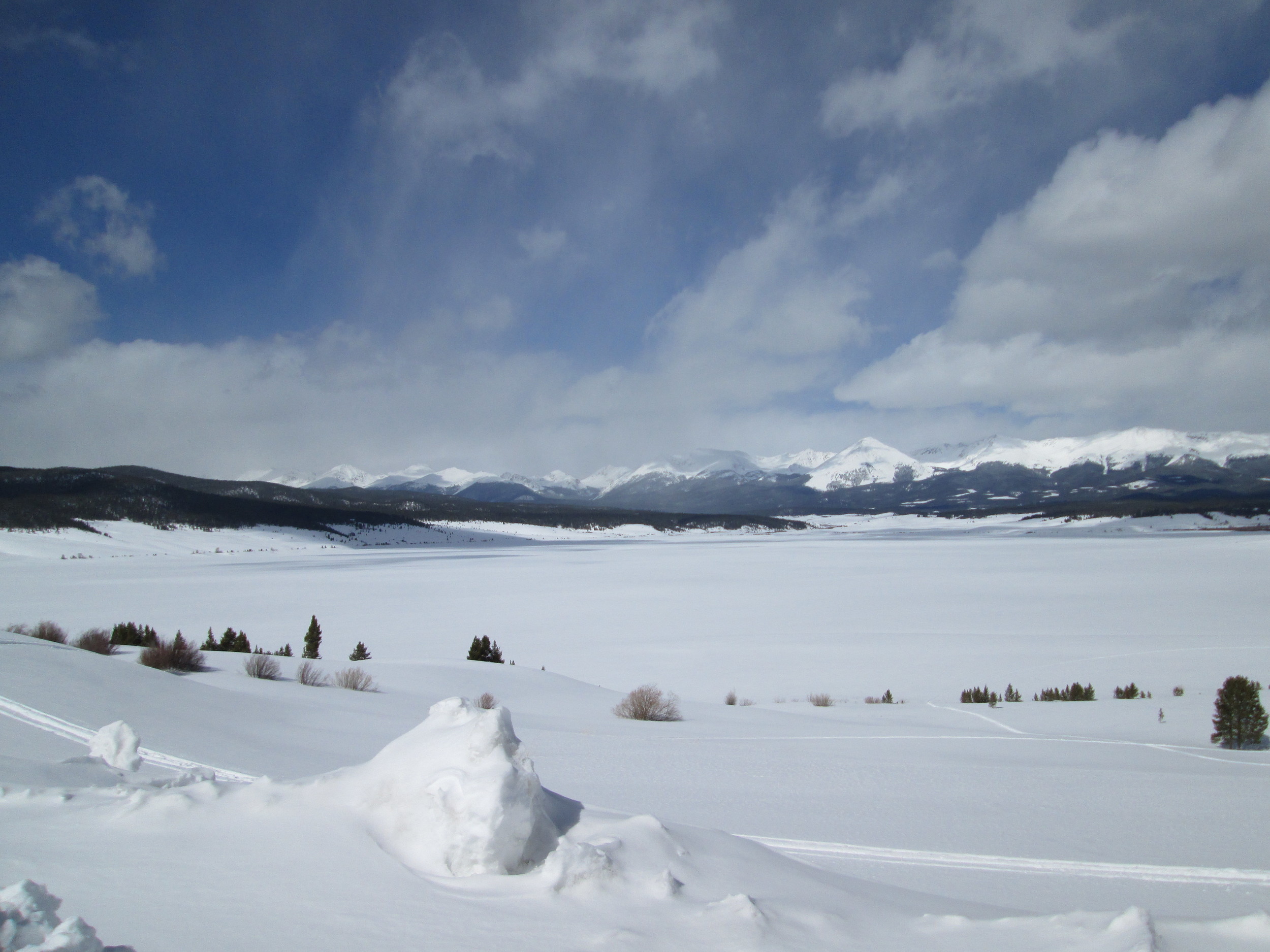
March 28, 2014
Heavy, clean snowcover blanketed Taylor Reservoir, Taylor Park, and the distant Collegiate and Sawatch Ranges on March 28, 2014 as dust layer D3-WY2014 lay buried well below the surface.

March 28, 2014
Heavy, clean snowcover blanketed Taylor Reservoir, Taylor Park, and the distant Collegiate and Sawatch Ranges on March 28, 2014 as dust layer D3-WY2014 lay buried well below the surface.

March 28, 2014
Dust layer D3-WY2014 is clearly visible in a band 8-10” below the snow surface, above a melt-freeze crust (formed earlier, without D3 present). Dust layer D4 (March 30) fell onto the clean snow surface seen in this profile, dramatically reducing snow albedo.

April 11, 2013
Compression of the overlying cleaner snow clearly revealed dust layer D6/D5 in ski tracks on the approach to the Park Cone CODOS site.

April 9, 2012
Taylor Reservoir near the Park Cone CODOS site (photo 1 of 3)
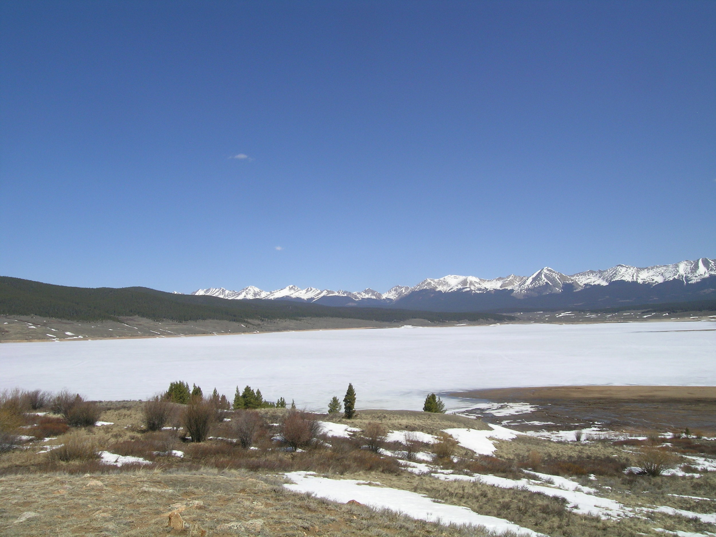
April 9, 2012
Taylor Reservoir with Sawatch & Collegiate ranges in background (photo 2 of 3)

April 9, 2012
Taylor Reservoir with Sawatch & Collegiate ranges in background (photo 3 of 3)

April 30, 2013
Significant D8 dust (at least) was easily seen on the west aspect of the Sawatch Range above Taylor Reservoir. Similar conditions were seen in upper Ohio Creek while driving to Taylor Park.
March 14, 2012
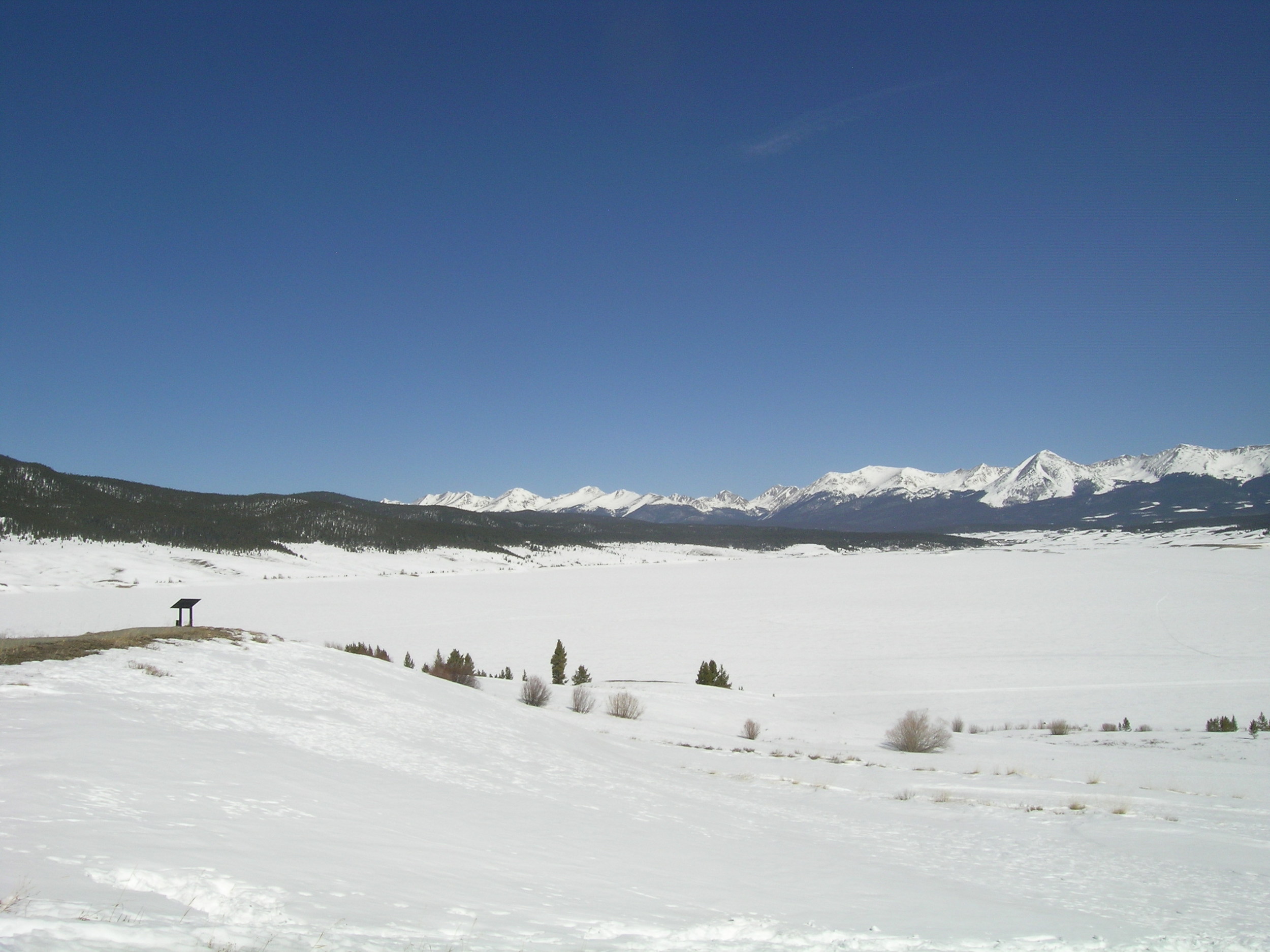
Taylor Reservoir with Sawatch & Collegiate ranges in background

March 14, 2012
Taylor Reservoir with Sawatch & Collegiate ranges in background

March 29, 2011
The Park Cone Snotel site with 54” of snow containing 13.4” of SWE, and still gaining SWE. This photo, looking east, shows the adjoining forest cover shading the site from the east, south, and west, blocking direct solar access to the snow surface over the snow pillow and reducing the influence of dust on snowmelt rates at this Snotel site.

March 18, 2013
Dust layer D2 was barely discernible in the pit’s face and end wall, intersecting the pit corner just a few inches above the red tape on the ruler. This snowpack
retained some cold content, at a mean temperature of -2.2° C. Dust event D4 was approaching as we departed the site and drove down the Taylor River canyon.

April 11, 2013
Park Cone snowpit showing the D6 dust layer just below cleaner new snow at the surface. The Park Cone Snotel site is less than 50 yards away, in the forest seen in the background. This snow profile was isothermal, with snow temperatures at 0.0° C throughout.

April 30, 2013
An “all layers merged” sample was collected, in scattered trees below the CODOS site on April 30, 2013 to capture the D8 event merged with D6. The CODOS snow profile site itself had large patches of open ground on this date.

April 9, 2012
Upper Gunnison River Water Conservancy District general manager Frank Kugel at the Park Cone CODOS snowpit site. This snowpit was isothermal and rapidly approaching “snow all gone” (SAG), with free water throughout the snowpack and with merged dust layers corresponding to WY 2012 events D4-D8 at the surface producing minor reductions in snow albedo.

March 14, 2012
Park Cone snow pit.

April 9, 2012
Park Cone completed snow pit

April 9, 2012
Fillled-in April pit and exposed March pit site at Park Cone CODOS site.


