June 4, 2014
As of the June 4 visit the McClure Pass Snotel and adjacent CODOS snow pit site had long since lost all snowcover.

June 4, 2014
Considerable snowpack remained in alpine terrain in Yule Creek and other Crystal River headwaters, as seen from McClure Pass, and dust was rapidly emerging on even the highest north-facing slopes.

June 4, 2014
A recent wet slab avalanche on a flank of the north face of Chair Mountain, just south of McClure Pass. Dust layer D8 and other merged dust layers were rapidly re-emerging and may have contributed to this avalanche.

June 4, 2014
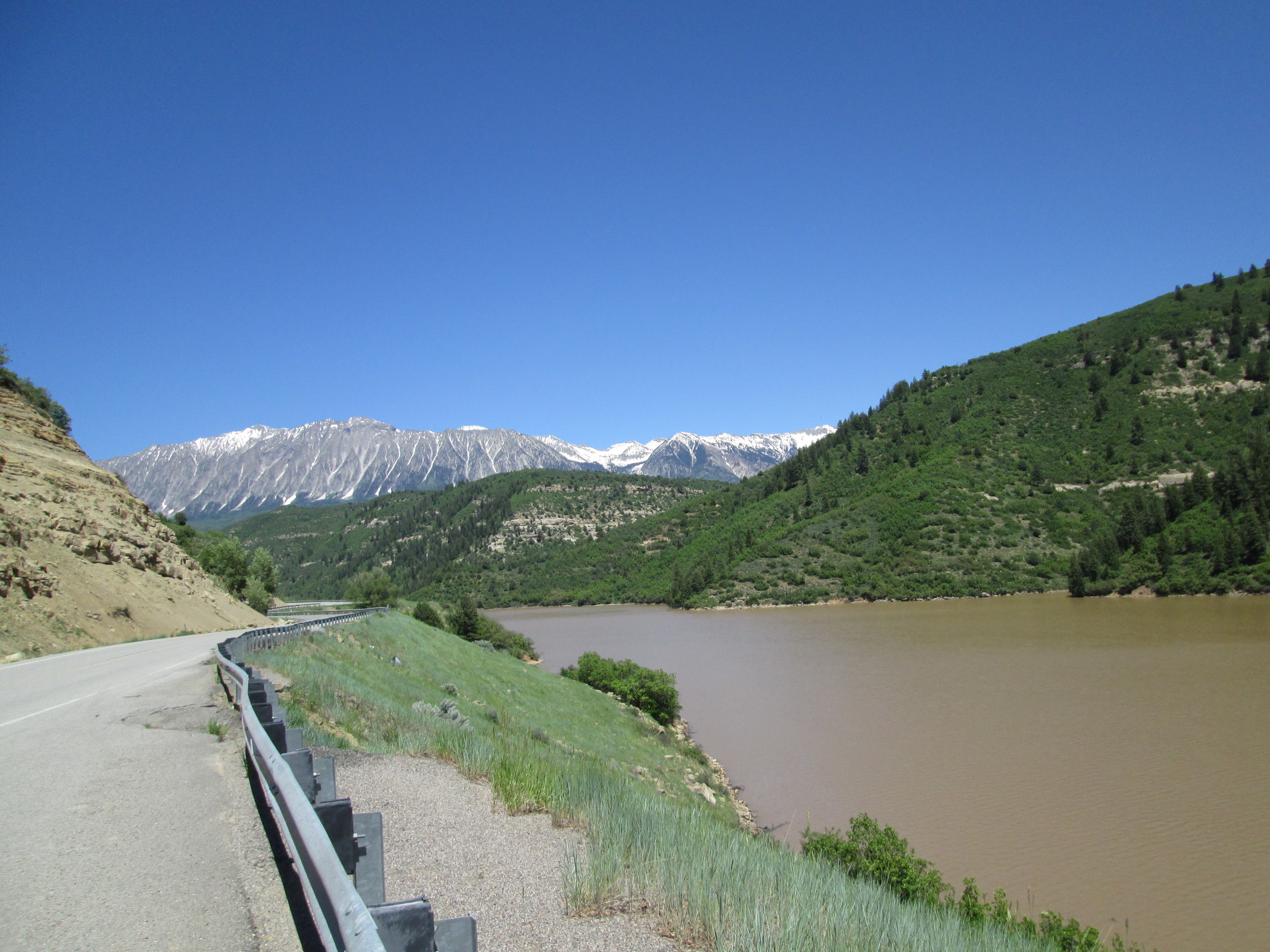
As usual, Paonia Reservoir had very rapidly filled, having been a mere puddle on April 26. Some lingering snowpack remained on the west aspects of the Ragged Mountains, in the distance.

June 2, 2014
The early June date of this final CODOS circuit enabled a special visit to the recently opened Independence Pass, at 12,095’. Although patches of the Memorial Day weekend storm’s clean snow remained, dust was rapidly re-emerging including heavy deposition of the most recent layer D8, the May 11, fawn-colored dust layer logged at Senator Beck Basin and observed extensively during this June 2-4 field circuit.

June 2, 2014
A fresh “wet slab” avalanche was observed on a north aspect just above the ghost town of Independence. High snowmelt rates produced by dust at the snowpack surface, and the resulting intense flux of free water into the snowpack structure, can contribute to this type of very dangerous spring avalanche activity.

June 2, 2014
Snowcover was still extensive on the tundra surrounding Independence Pass, here 24” deep. Dust deposition in such alpine terrain exhibits significant spatial variability resulting from wind effects on new snow containing dust., alternately stripping and concentrating dust (and wind-blown snow) in ‘dune’ fields. A typical dune pattern can be seen on the slope on the left, in the distance. An ‘all layers merged’ (ALM) sample was collected in a patch of somewhat higher concentration of dust (than seen just a few yard in the distance), since our purpose with these ALM samples is to facilitate analyses of the dust’s properties rather than to capture a definitive dust mass loading sample. Representative mass loading samples require a well-sheltered site, such as our own Swamp Angel Study Plot at Senator Beck Basin, where wind effects are minimized.

April 26, 2014
The McClure Pass Snotel site and dry CODOS snow pit site on the slope beyond

April 26, 2014
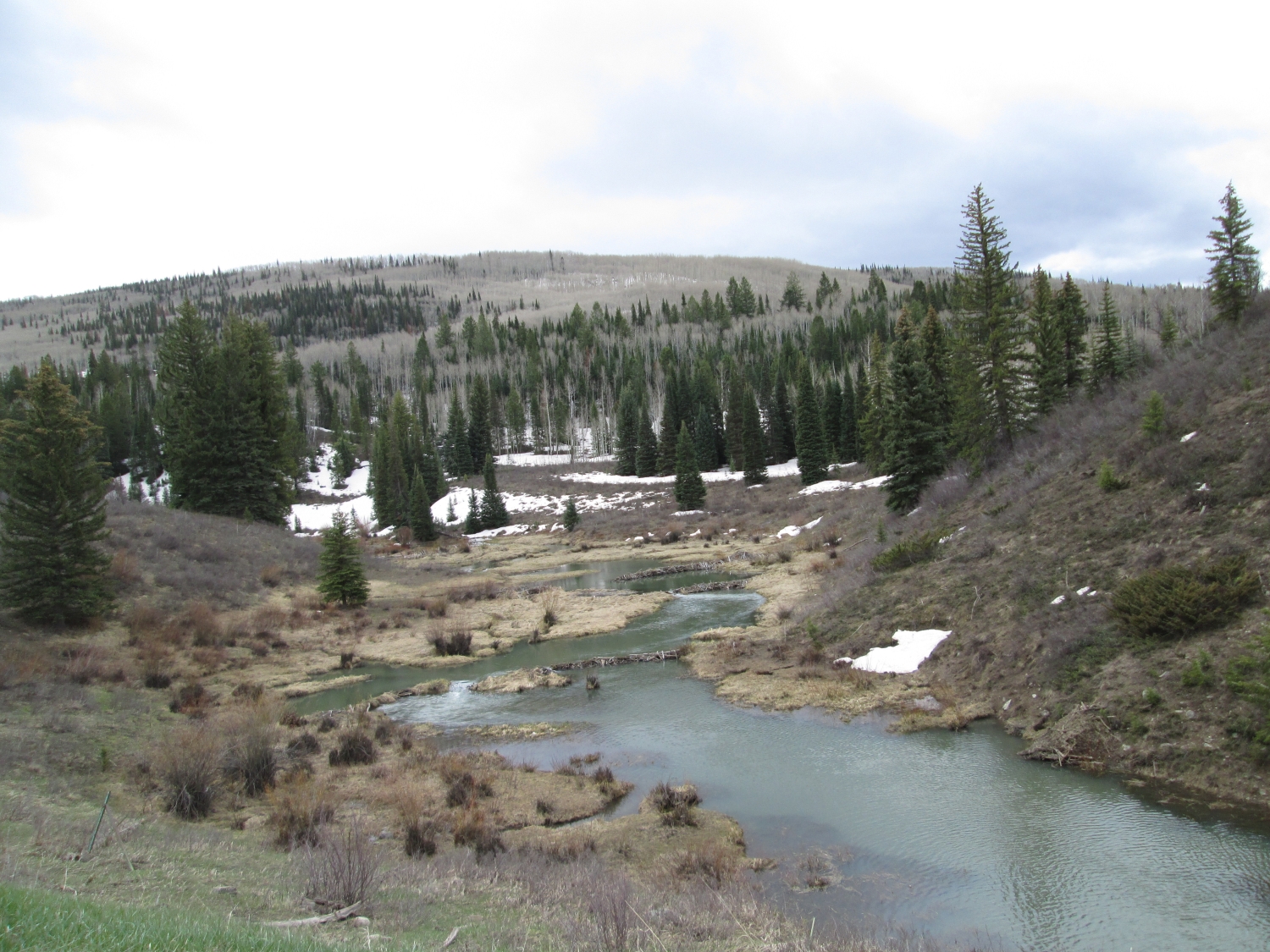
Beaver ponds west of McClure Pass

March 31, 2014

March 31, 2014
The McClure Pass snow pit as seen from above, showing the rapid reduction in snow albedo in progress as the thin layer of clean snow above merged D4/D3 dust is melted by heat from below, as the D4/D3 layer absorbs incoming solar energy.

March 31, 2014
Snow temperatures being measured at 10 cm (4”) intervals in the shaded corner of the McClure Pass snow pit. The shovel blade shading prevents direct solar radiation from affecting the temperature probe in the top 30 cm of the snowpack. Dust layers D4 merged with D3 are seen just beneath the snowpack surface, rapidly turning to slush.

March 31, 2014

March 31, 2014
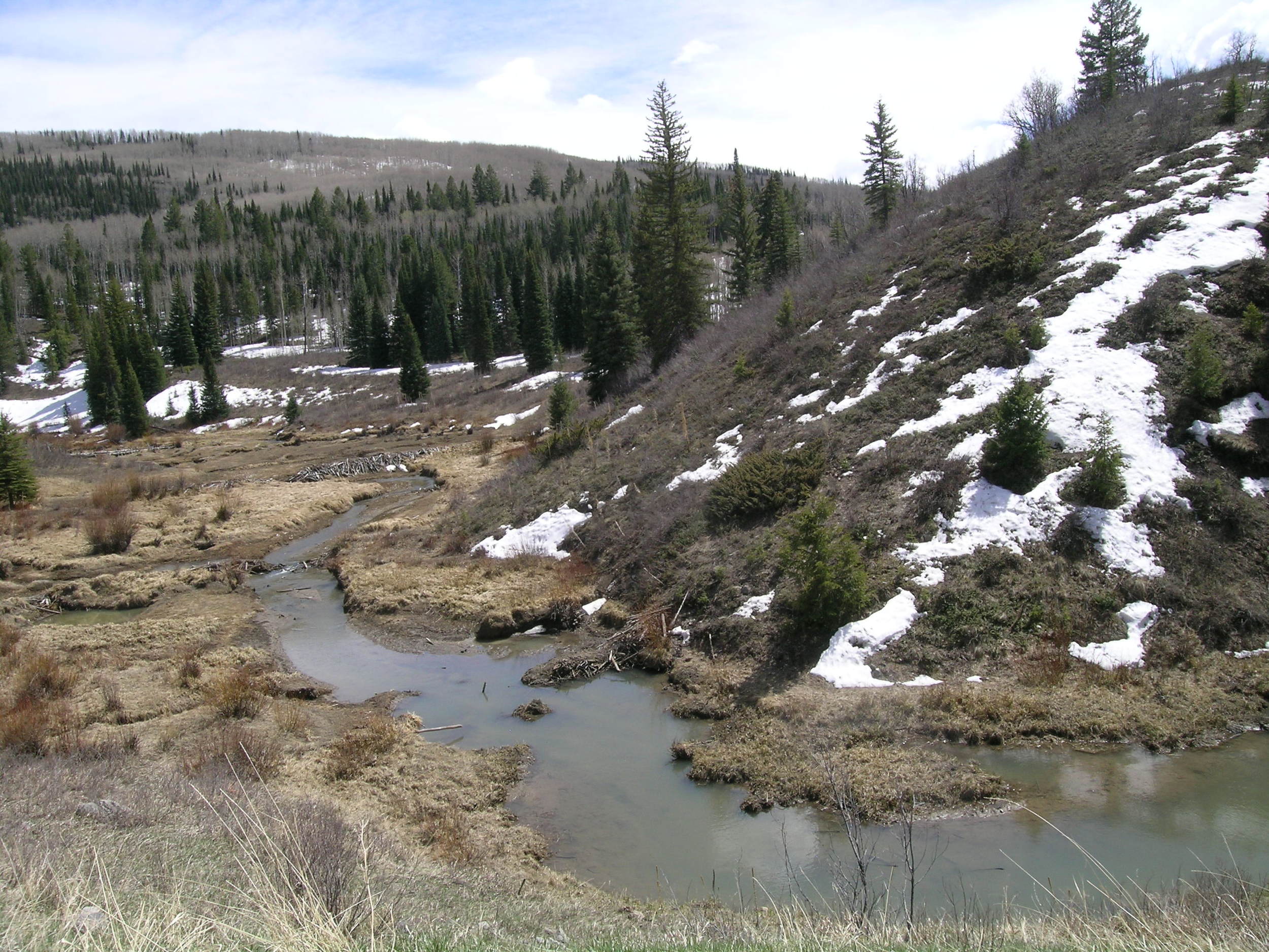
The iconic beaver pond scene on the west side of McClure Pass, where CODOS began a time series of dust-on-snow photos in spring 2009.

March 31, 2014
The iconic beaver pond scene on the west side of McClure Pass, where CODOS began a time series of dust-on-snow photos in spring 2009.

March 16, 2012
The iconic beaver pond scene on the west side of McClure Pass, where CODOS began a time series of dust-on-snow photos in spring 2009.

March 20, 2013
The iconic beaver pond scene on the west side of McClure Pass, where CODOS began a time series of dust-on-snow photos in spring 2009. Coincidentally, the same view taken on March 16, 2012 also revealed a D4 layer at the snow surface and, not surprisingly, a similarly scant snowcover.

April 13, 2013
The iconic beaver pond scene on the west side of McClure Pass, where CODOS began a time series of dust-on-snow photos in spring 2009.

April 30, 2013
The iconic beaver pond scene on the west side of McClure Pass, where CODOS began a time series of dust-on-snow photos in spring 2009.

April 13, 2013
On April 13 dust layer D6 was strongly present, merged with layers D4/5 and D2. Very active snowmelt was underway and the entire snowpack was classified as very wet.

April 13, 2013
SWE measurements are performed in all CODOS snowpits using a continuous series of ‘tube samples’. Those data are shown on the right margin of the snowpack profile, in units of mm of water, usually by layer, and noted above as a total. These measurements are made “normal” (perpendicular) to the snowpack. The “normal” height (depth) of snow at the sampling location is then used, with the total SWE value, to calculate the mean density of the snowpack.

April 13, 2013
Snowpack ablation and snowmelt runoff was well advanced by early May, with dust layers D8-D2 merged and exposed at the snowpack surface and the CODOS snow pit site melted off. A concentrated sample of all merged dust layers was collected from the thin remaining snowcover adjacent to the Snotel station, for chemical and other analyses by USGS.

March 20, 2013
The March 20, 2013 snow profile at the McClure Pass CODOS site. Dust layer D2 was present mid-pack and event D4 was at the surface. This profile revealed an effectively isothermal snowpack, the first CODOS site to become isothermal.

March 20, 2013
Snowpit upon excavation. Dust layer D4 is faintly visible at the snow surface in this photo, but layer D2 is more plainly visible as the lower of two darker bands near the middle of the snowpack.

April 11, 2012
Looking south at the McClure Pass Snotel station, in the background, from the recently snow-free CODOS snowpit site on April 11th, 2012, and from the same location on May 18, 2011 (next photo). At just 9,500’, the McClure Pass site is among our lowest elevation CODOS plots and typically among the first to reach SAG each spring.

March 16, 2012
Digging pit at McClure Pass CODOS site.

March 16, 2012
McClure Pass completed snow pit

April 11, 2012
Muddy Creek Reservoir

April 30, 2013
A fresh “all layers merged” sample was collected on April 30 in order to capture the D7 and D8 events. The contrast between the underlying snow in the scarped area and the “all layers merged” dust is clear, and the corresponding darkening of the snow surface by those merged dust layers was greater than the same-day effects at Swamp Angel Study Plot, where D6 had not yet widely emerged.

March 16, 2012
Digging pit at McClure Pass CODOS site.

April 30, 2013
McClure Pass CODOS pit site

April 30, 2013
Significant D8 (at least) was easily seen on the distant peaks looking southeast from McClure Pass, up the Crystal River valley toward its headwaters near and above Marble, Colorado.

May 18, 2011
Looking south at the McClure Pass Snotel station, in the background, from the recently snow-free CODOS snowpit site and from the same location on April 11, 2012 (previous photo). At just 9,500’, the McClure Pass site is among our lowest elevation CODOS plots and typically among the first to reach SAG each spring.

April 11, 2012
McClure Pass Snotel.

April 11, 2012
McClure Pass CODOS pit site.

April 11, 2012
McClure Pass Snotel SWE Pillow.


