June 3, 2014
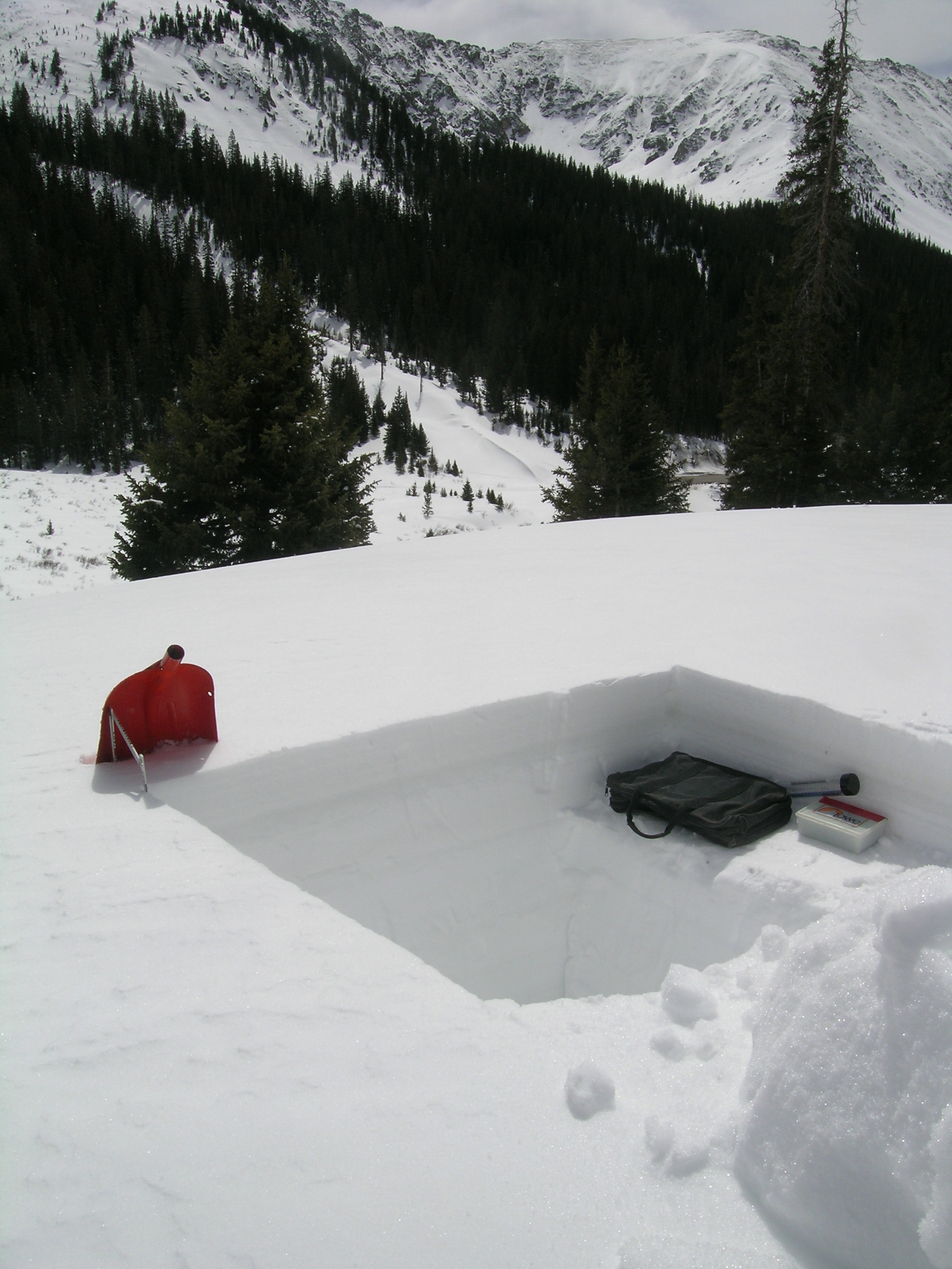
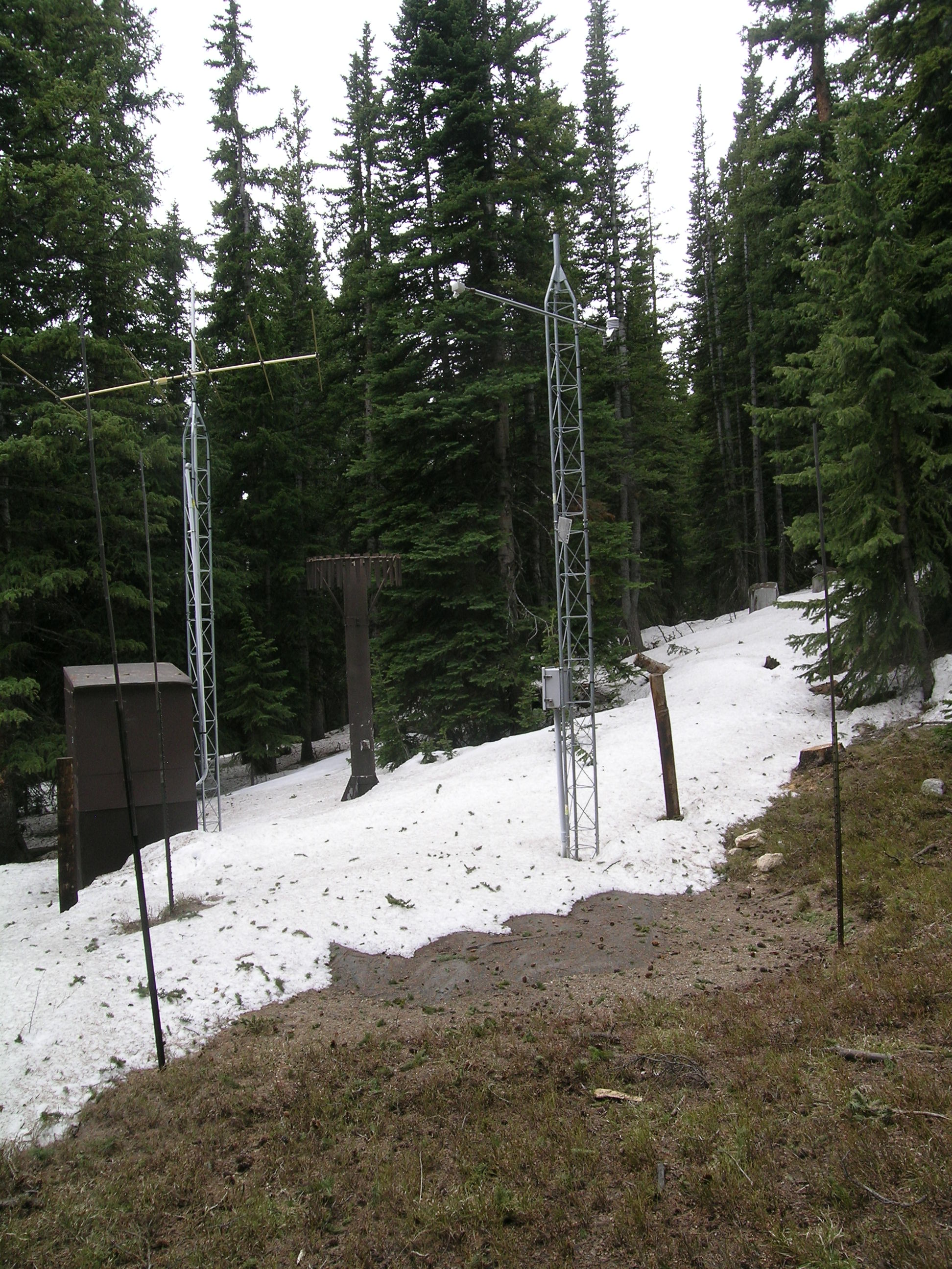
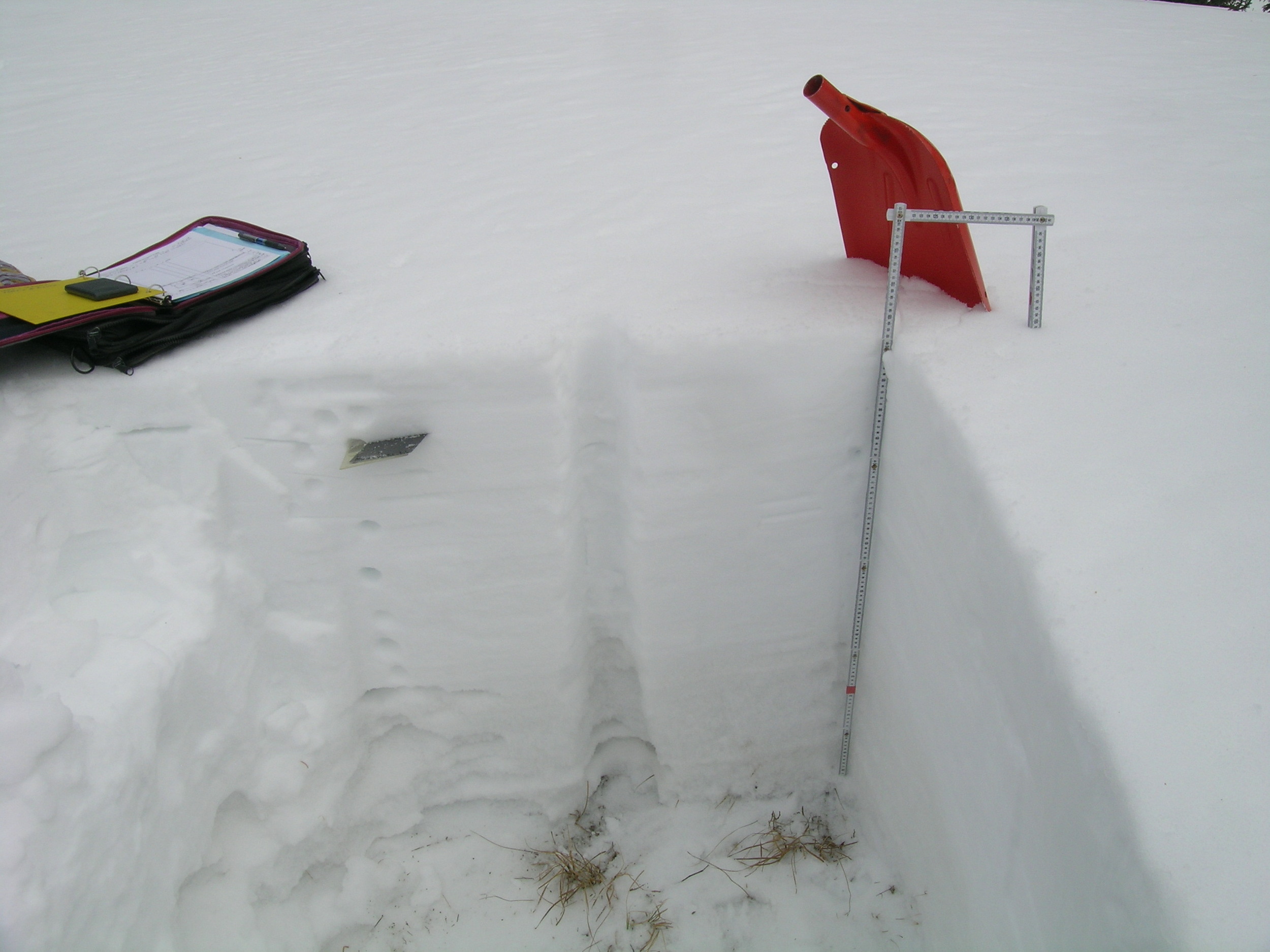
Some 32” of “very wet” snow remained at the CODOS snow profile site; the nearby Grizzly Peak Snotel was reporting just 21” at the time. Merged dust layers at the snowpack surface were extensively reducing snow albedo in the Loveland Pass locale, with only small remnants of the clean Memorial Day weekend snowfall remaining. An ‘all layers merged’ sample was collected.

June 3, 2014
During this site visit, blustery winds occasionally produced blowing dust from the nearby Arapahoe Basin gravel parking lots. A sample of dirt was collected from the parking area, for comparison to the ‘local’ materials (i.e., the non-desert dust) found in the ‘all layers merged’ sample collected in spring 2013.

June 3, 2014
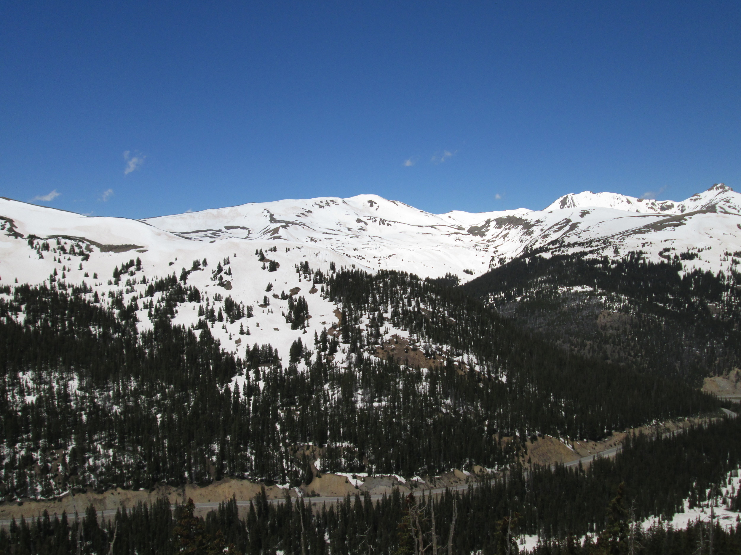
Dust-in-snow was rapidly re-emerging above treeline, here on the west side of Loveland Pass.

June 3, 2014
On the east side of Loveland Pass, snowcover reached to and sometimes just below treeline. Dirty snow was also rapidly emerging as the Memorial Day layer of clean snow was quickly ‘burning off’, melted from above by direct solar absorbed in the clean snow surface and from below by solar energy that had penetrated the thinning clean snow layer and been absorbed in the underlying D8 dust layer beneath.

April 25, 2014
Arapahoe Basin with ‘white’ snow conditions

April 25, 2014
Just downvalley, the lower slopes of Keystone ski area with ‘brown’, D4/D3 snow

April 25, 2014
South aspects of Loveland Pass with large patches of exposed D4/D3

May 21, 2013
During the final visit to Grizzly Peak a concentrated sample of merged layers D8-D6/5 dust was collected near the CODOS site for chemical and other analyses by USGS.

May 10, 2013
Snowpack accumulation was still ongoing in early May. The CODOS snow profile of May 10 found merged dust layers D8/D6/D5 still deeply buried under recent clean (and still cold) new snow. However, recent surface melt associated with late April exposure
of layer D8/D6 had helped produce an isothermal snowpack below those merged dust layers.

May 10, 2013
Looking southeast from Loveland Pass at Grizzly Peak (13,427’) in the distant center and Arapahoe Basin ski area on the right. No dust-in-snow was visible at the snowcover surface, but some cornices did reveal dust, probably D8.

April 13, 2013
On April 13 dust layer D6 was strongly present, buried 3” below the surface and dashing hopes for a clean WY 2013 snowpack. D6 may have been merged with event D5. Clear evidence of a surface melt episode was observed in the snow immediately below D6 and snow temperatures had warmed from a mean of -4.1° C on March 19 to a mean of -1.8° C.

April 13, 2013
The Grizzly Peak snowpit showing the essentially merged D6/D5 dust layer as a distinct brown band a few inches below the surface, and just above the tool bag on the snow shelf. No other dust layers were seen in this (or the preceding) profile.

April 13, 2013
Grizzly Peak CODOS snow profiles are performed on a comparatively open, exposed bench some 50 yards from the same-named Snotel and within earshot (sometimes) of the Arapahoe Basin ski area.

March 19, 2013
Arapahoe Basin ski area with several inches of clean, new snow. No dust was discernible in this snowpack, raising hopes that this could be a dust-free season at this Front Range site. Snow temperatures were cold, at a mean of -4.1° C.

May 2nd, 2012
The Grizzly Peak CODOS snowpit site on May 2nd, 2012 compared to a year earlier on May 17th, 2011, with CSAS’s Andrew Temple just getting started on the 80” deep snowpit.

May 2nd, 2012
A view of the Grizzly Peak Snotel site approaching SAG on May 2nd, 2012. Although part of the snow pillow can be seen (closest to the camera), 4” of snow containing 1.3” of SWE were still being measured over the remainder of the pillow. Just 200’ away, on a generally level and open bench, the Grizzly Peak CODOS snowpit site (see photo above) had been snow-free for some time.

April 10, 2012
Grizzly Peak snotel adjacent to the Loveland Pass CODOS site.

April 10, 2012
Loveland Pass CODOS pit with A-Basin Ski Area in the background.

April 10, 2012
Completed snow pit at Loveland Pass CODOS site.

April 10, 2012
Patchy ground near Loveland Pass CODOS pit site.

April 10, 2012
A-Basin from road above Loveland Pass CODOS pit site.

April 10, 2012
A-Basin from road above Loveland Pass CODOS pit site.

March 15, 2012
Andrew Temple begins to dig at the Loveland Pass CODOS site.

March 15, 2012
Loveland Pass CODOS snow pit

March 15, 2012
Loveland Pass CODOS snow pit

March 15, 2012
Looking southeast from Loveland Pass toward Grizzly Peak (13,427'), in the center distance.

May 17th, 2011
The Grizzly Peak CODOS snowpit site on May 17th, 2011, with CSAS’s Andrew Temple just getting started on the 80” deep snowpit. Compare to on May 2nd, 2012 with the same location free of snow.


