
June 3, 2014
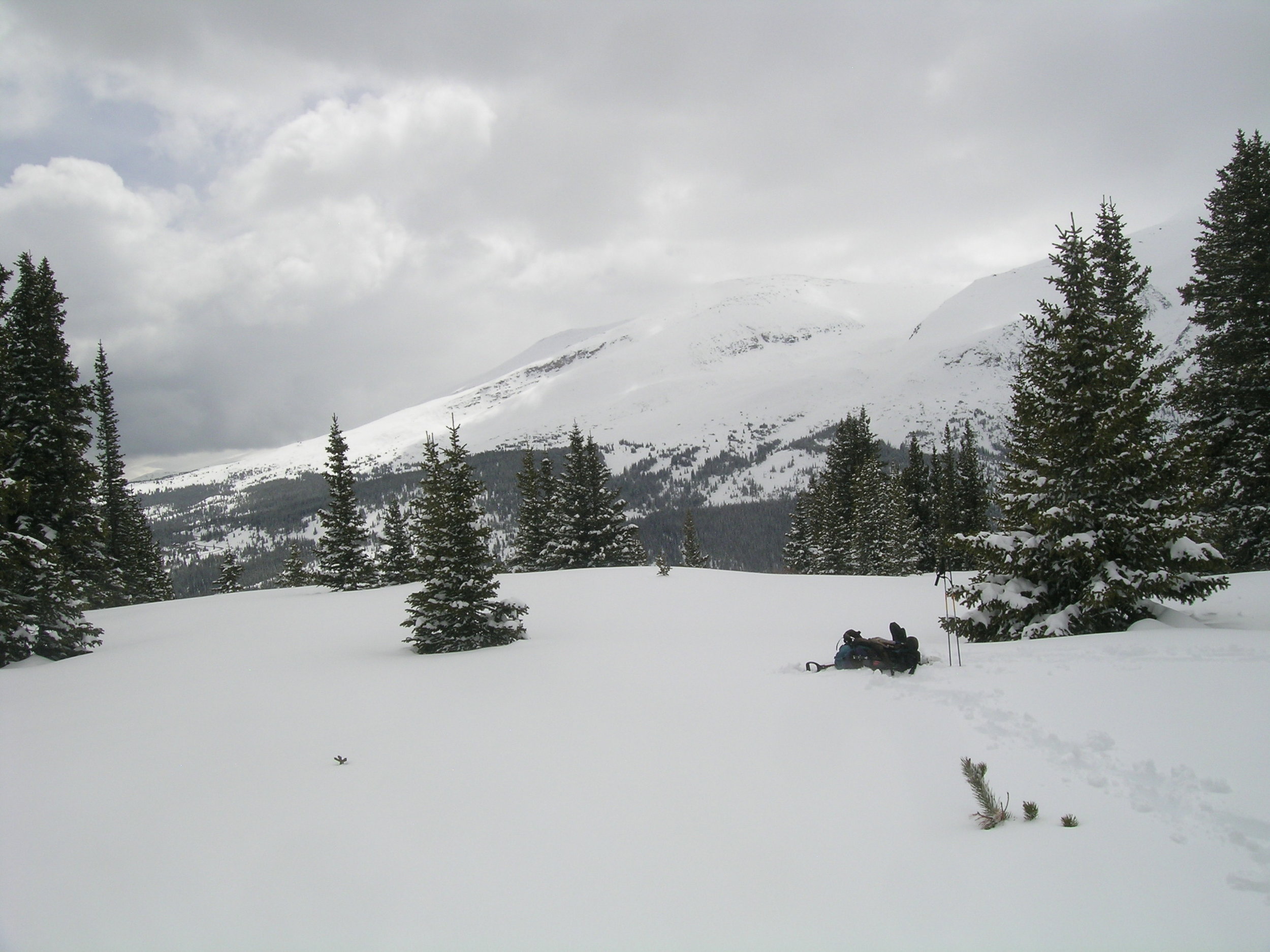
Snowcover on Mount Lincoln and Mount Bross, above Montgomery Reservoir, was characteristically patchy, reflecting the intense wind redistribution of snowcover in this locale. Merged dust layers were emerging as the Memorial Day weekend snowfall was receding, again featuring the fawn-colored D8 layer.

June 3, 2014
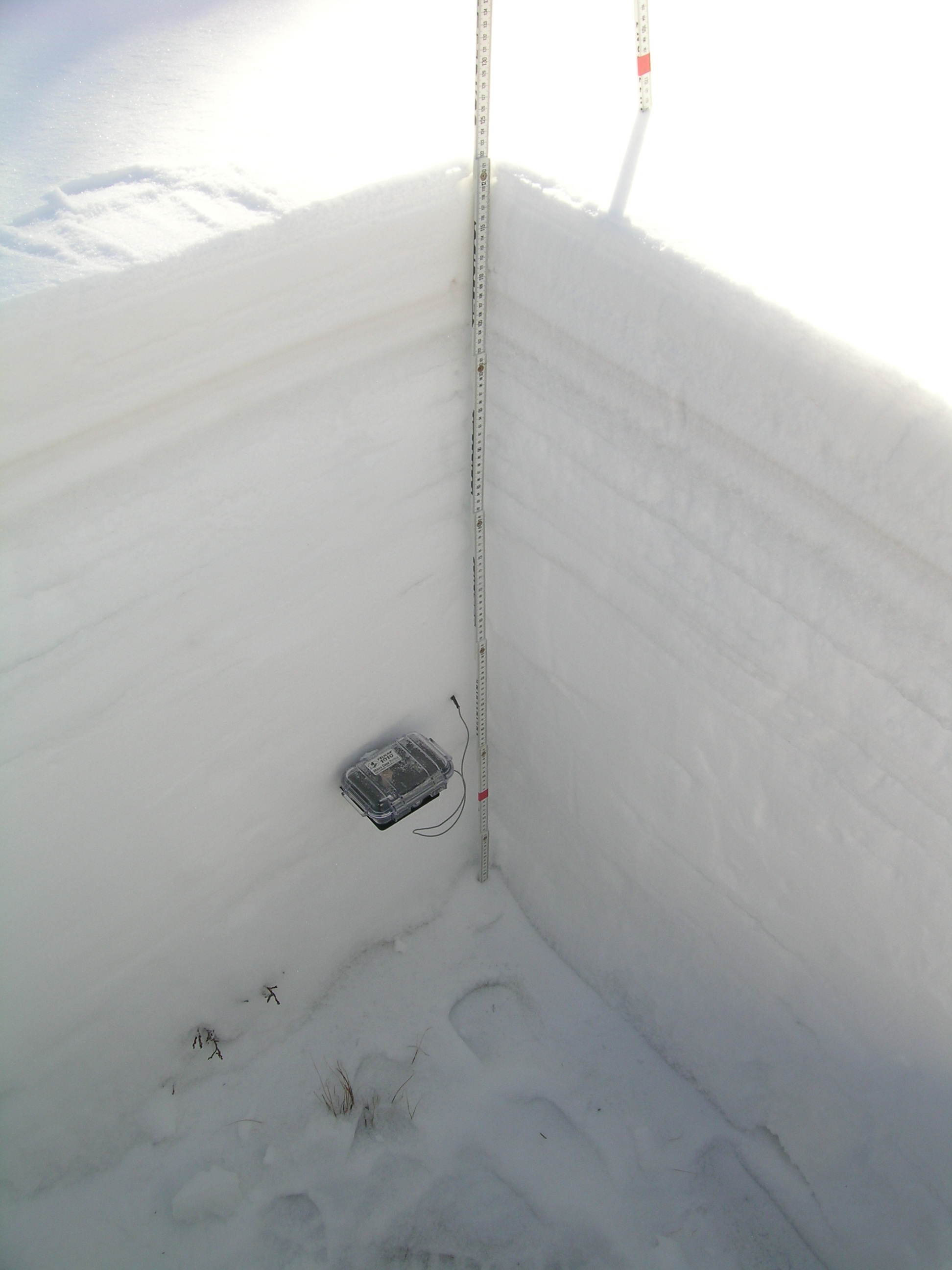
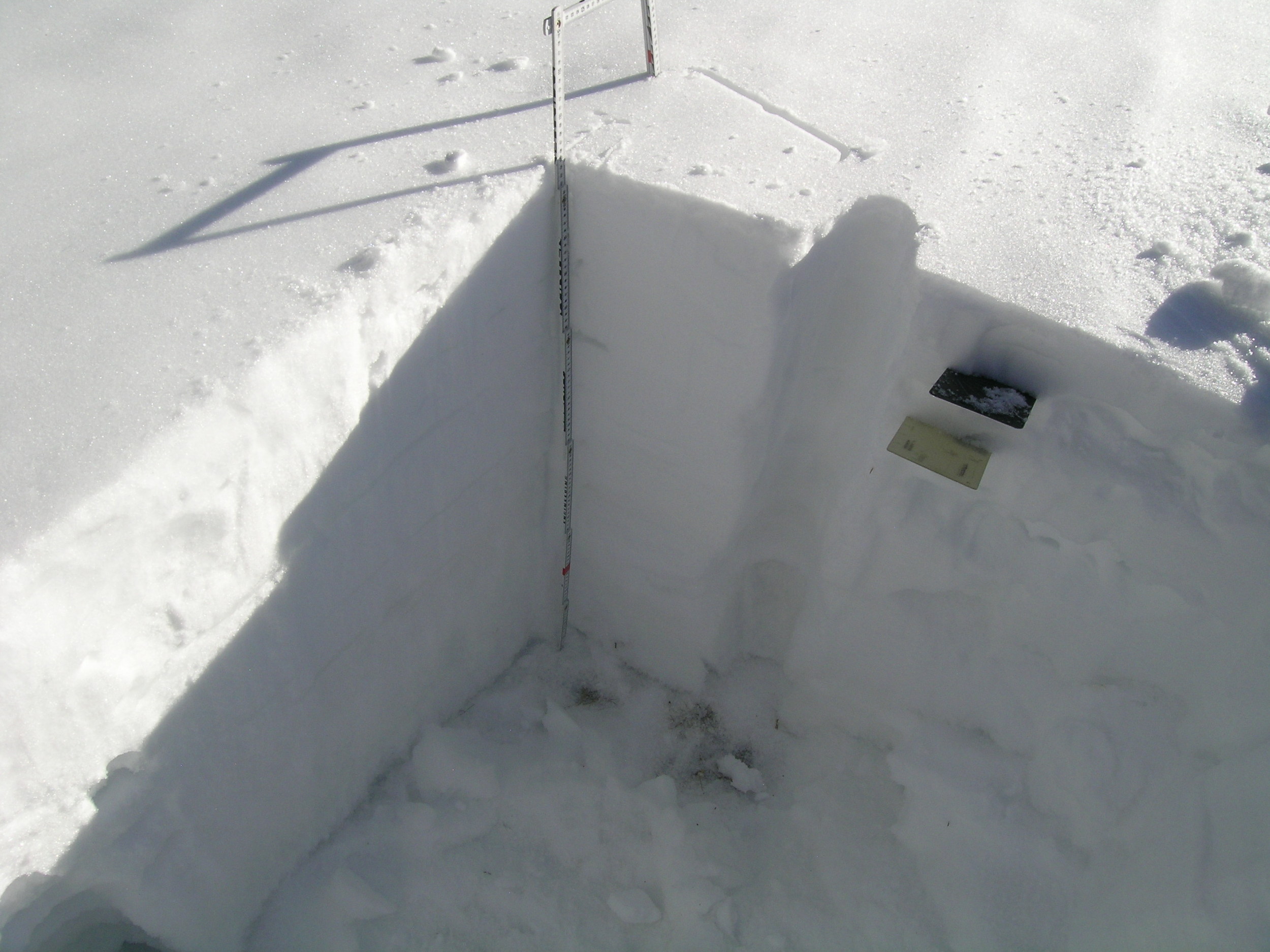
Some 27” of snowpack remained at the CODOS Hoosier Pass snow profile site; the re-filled hole from our previous, April 24 snow pit is seen just a few yards to the east. An ‘all layers merged’ dust sample was collected by scraping the surface. As was typical at all sites, dirty melt water infiltrating from the surface had stained snow underneath the sampled snow, and most of the winter’s wind-blown vegetation debris had also accumulated at the snow surface. Still, the vast majority of dust material was captured and will enable analysis of the merged dust properties.

June 3, 2014
The usual view of Quandary Peak in the distance, as seen from the Hoosier Pass CODOS site, showing the Memorial Day weekend storm clean snow still obscuring most dust.

June 3, 2014
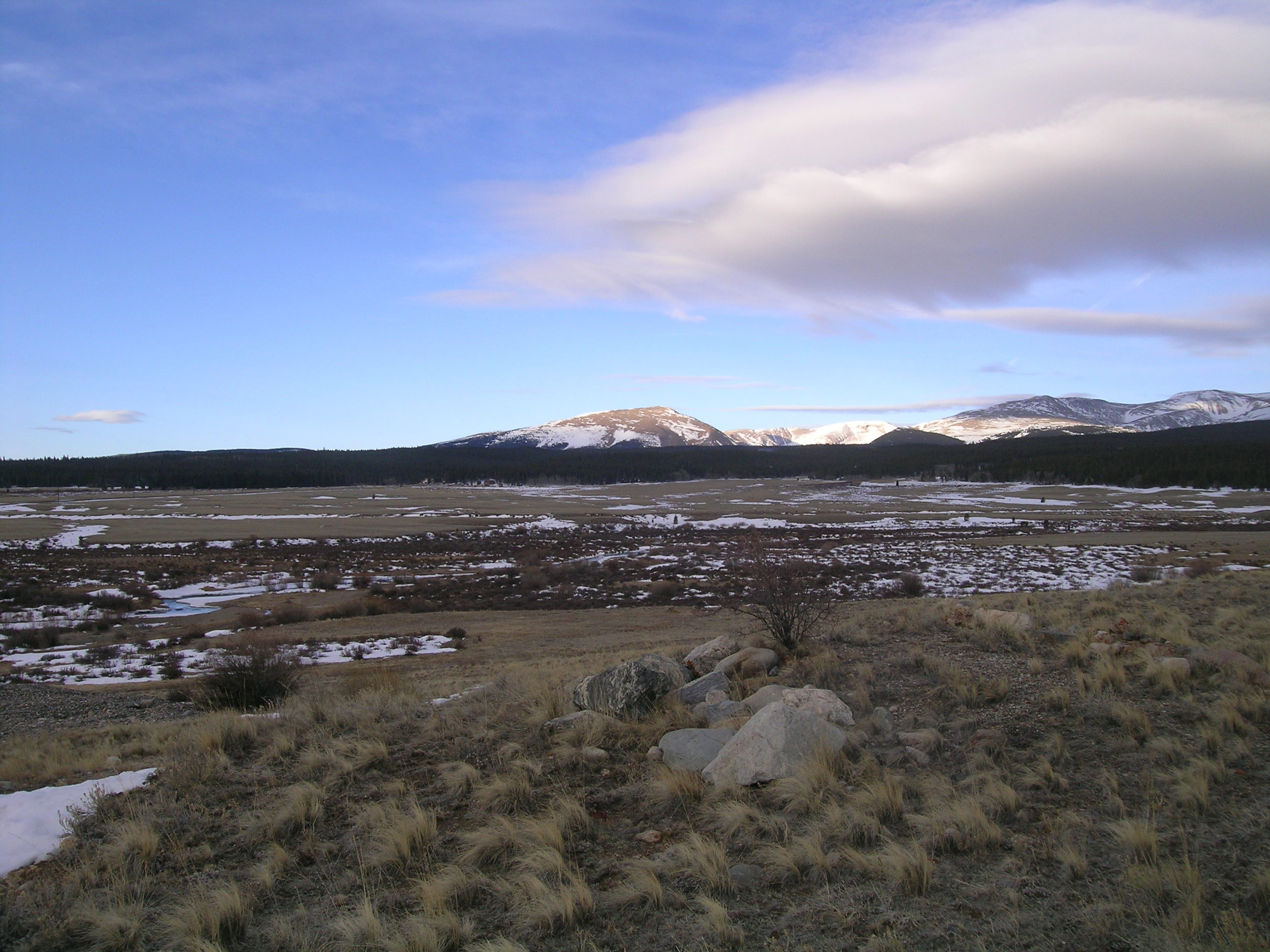
The fawn-colored dust layer D8, already merged with preceding dust layers, was vividly apparent from Breckenridge and the Blue River valley on the Ten Mile Range, emerging from beneath the Memorial Day weekend clean snow layer.

April 24, 2014
Andrew Temple prepares to excavate the Hoosier Pass snow pit

May 22, 2013
During the final visit to Hoosier Pass a concentrated sample of merged layers D8-D6/5 dust was collected near the CODOS site for chemical and other analyses by USGS.

May 9, 2013
Looking southwest at Mount Bross (14,172’) and the Mosquito Range from the Hoosier Pass CODOS site late in the afternoon.. No dust-in-snow was visible at the snowcover surface.

May 9, 2013
Snowpack accumulation was still ongoing in early May. This CODOS snow profile found dust layer D8 still deeply buried under recent clean snow. The clean snow above layer D8 contained 3.1” SWE. Layer D8 had not yet merged with dust layer D6. However, recent surface melt associated with late April exposure of layer D8 had helped produce an isothermal snowpack.

April 13, 2013
Dust layer D6 was strongly present, buried 3” below the surface and dashing hopes for a clean WY 2013 snowpack. Clear evidence of a surface melt episode was observed in the snow immediately below D6 but snow temperatures had warmed only slightly, from a mean of -3.8° C on March 18 to a mean of -3.6° C.

April 13, 2013
Hoosier Pass CODOS snow profiles are performed in comparatively open, exposed terrain, some 200 yards from the same-named Snotel. Wind effects on snowpack formation are considerable, in the Hoosier Pass locale, but this near-treeline site was selected for its comparatively uniform snowcover depths over an area large enough to perform a meaningful time series of snow profiles.

April 13, 2013
The view of Quandary Peak (14,265’) to the northwest
of the Hoosier Pass CODOS site.

March 18, 2013
Snow profile at the Hoosier Pass CODOS site. No dust was discernible in this snowpack, raising hopes that this could be a dust-free season at this Front Range site. Snow temperatures were cold, at a mean of -3.8° C.

March 18, 2013
Looking west from the CODOS Hoosier Pass site at evening snow showers over Mount Lincoln and Montgomery Reservoir. Time for lunch

May 2, 2012
CSAS’s Chris Landry returning to Hwy 20 on a gentle, snow-free, west-facing slope after completing the May 2nd, 2012 snowpit at the more level Hoosier Pass CODOS site, just before SAG. Mount Lincoln and Mount Bross are seen in the distance, notably snow-free.

May 2, 2012
Kim Buck stands in the completed Hoosier Pass snowpit surrounded by snow free ground.

May 2, 2012
Completed Hoosier CODOS snow pit.

April 9, 2012
A view looking north of the Hoosier Pass Snotel site, showing tree shadows over the snow pillow, inside the fencing.

April 9, 2012
Looking downhill from the Hoosier Pass CODOS snow pit.

April 9, 2012
Looking uphill from the Hoosier Pass pit site.

April 9, 2012
Completed Hoosier Pass snow pit.

April 9, 2012
Completed Hoosier Pass snow pit.

March 14, 2012

March 14, 2012
Completed CODOS snow pit at Hoosier Pass.

March 14, 2012

March 14, 2012

March 14, 2012

March 14, 2012
Mosquito Range near Fairplay as seen on the way to Hoosier Pass.


