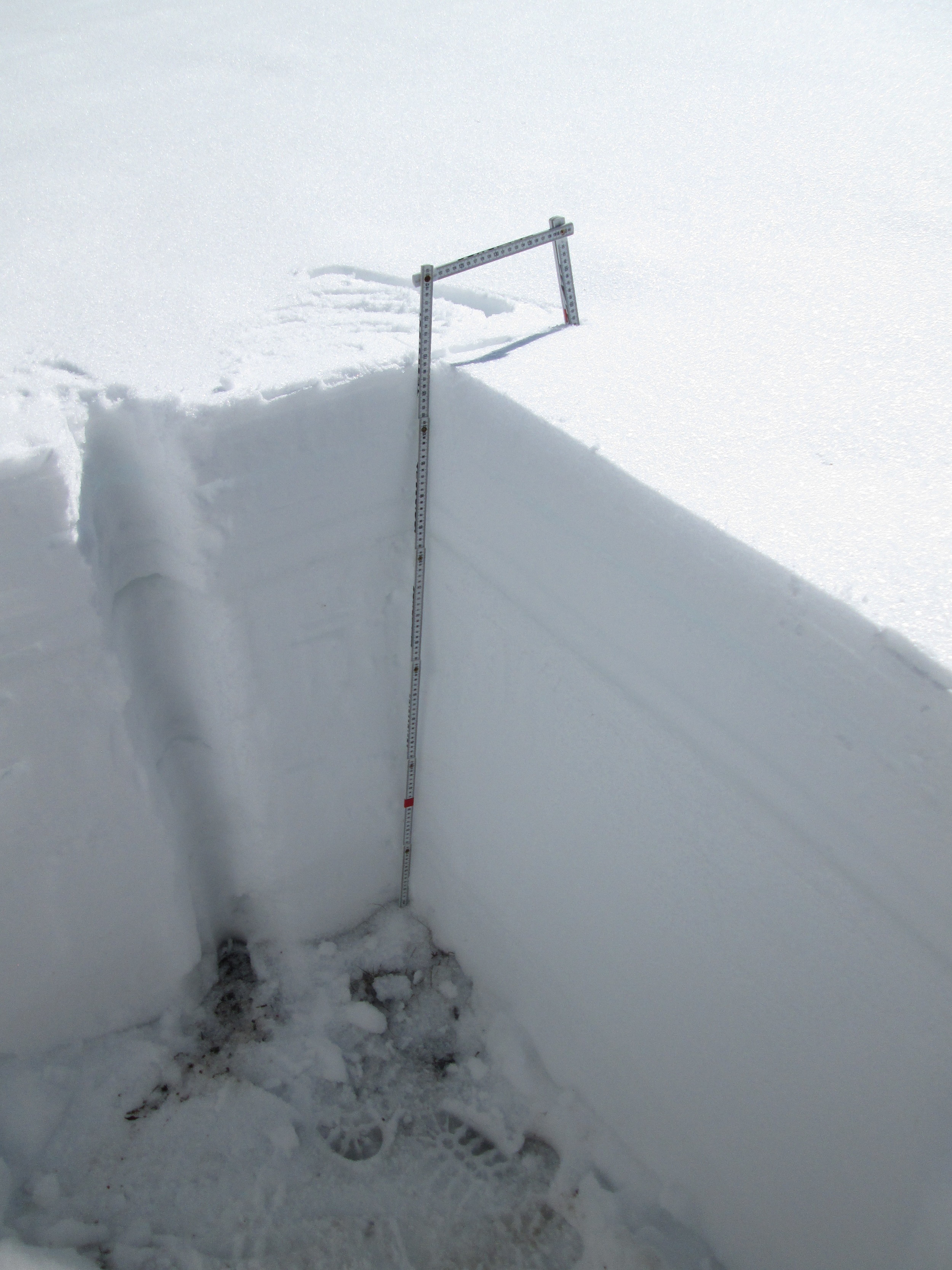
Grand Mesa Snow Profile
Snow pit picture taken on March 20th, 2015


June 2, 2014
Open parks on the top of the Grand Mesa were rapidly losing snowcover and generating widespread sheet flow of snowmelt runoff.

June 2, 2014
Considerable snowpack remained in the dark timber at the Skyway Nordic Ski Trail system, on the approach to the Grand Mesa CODOS site. Spruce beetles are actively attacking this forest, as seen in the two trees on the left of the image.

June 2, 2014
The only snow remaining in the open meadow at the Grand Mesa CODOS site was surrounding the instrument tower, which was specifically located to capture snow albedo measurements in the last bit of snowcover in that open area. Nearby, but several hundred feet lower, the Mesa Lakes Snotel had recorded ‘snow all gone’ a few days earlier, on May 30.

June 2, 2014
An ‘all layers merged’ dust sample was collected by scraping the snowpack surface down to the underlying clean snow. Blotches of stained snow remained where very fine dust had infiltrated more deeply into the snowpack, carried by dirty melt water. A layer boundary in the snowpack is also seen where vertically infiltrating dirty melt water was impeded and spread laterally.
April 26, 2014
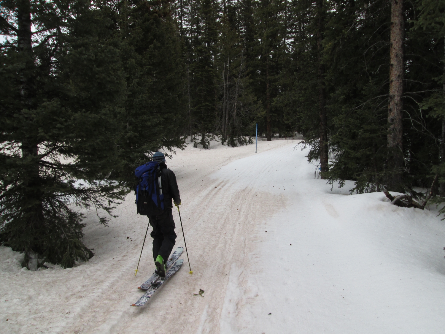
Skiing into the Grand Mesa CODOS site, with lingering clean snow in the shade and exposed D4/D3 elsewhere

April 26, 2014
Heavily concentrated D4/D3 dust in drifted snow on Grand Mesa, as Storm #23 approaches

March 31, 2014
Grand Mesa Study Plot

March 31, 2014

March 31, 2014
March 31, 2014
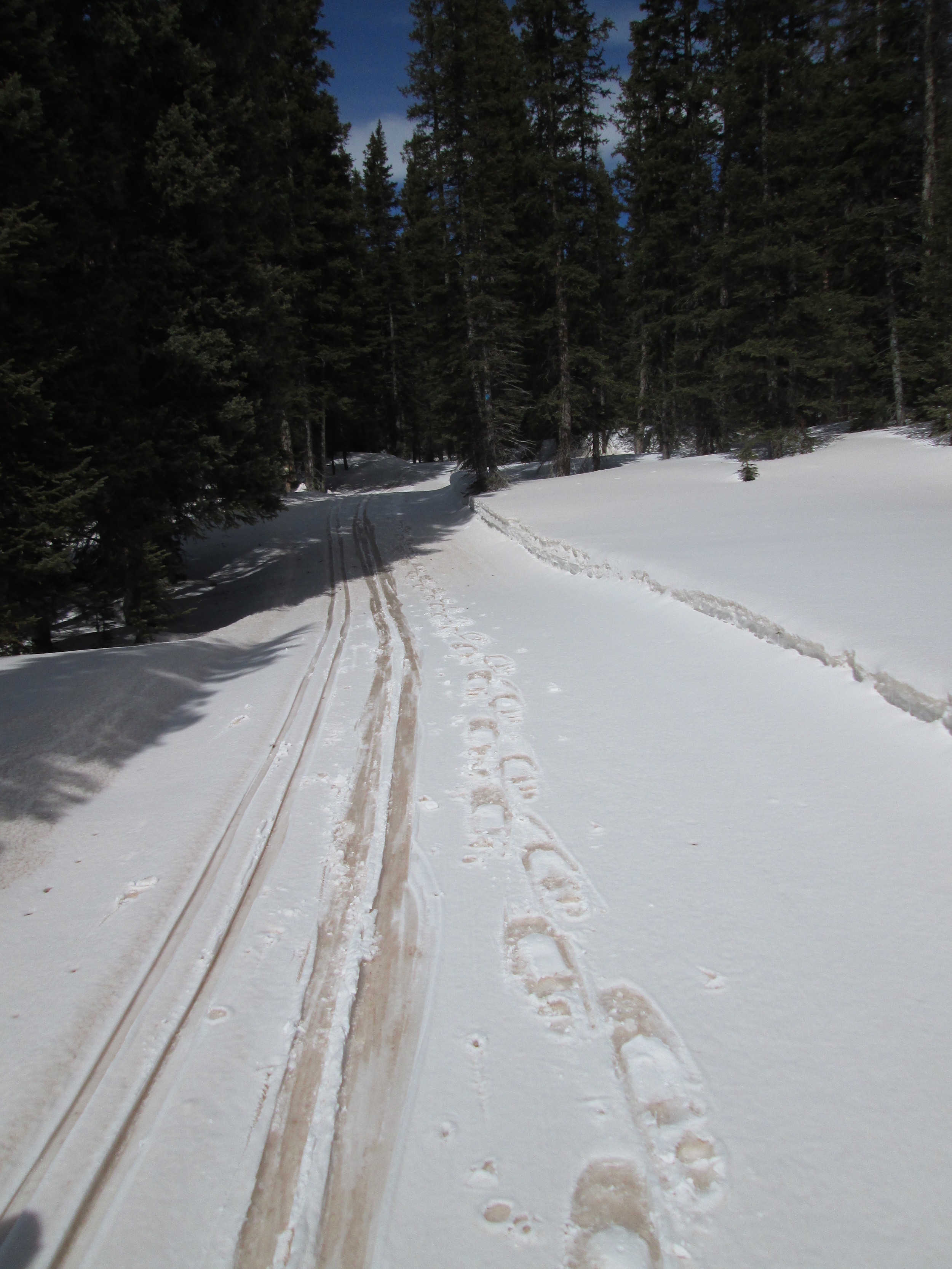
D4-WY2014 almost merged with D3-WY2014 dust and just beneath a skiff of cleaner snow at the snowpack surface, as seen above in tracks on the Skyway nordic ski trail approach to the Grand Mesa CODOS site.
March 31, 2014
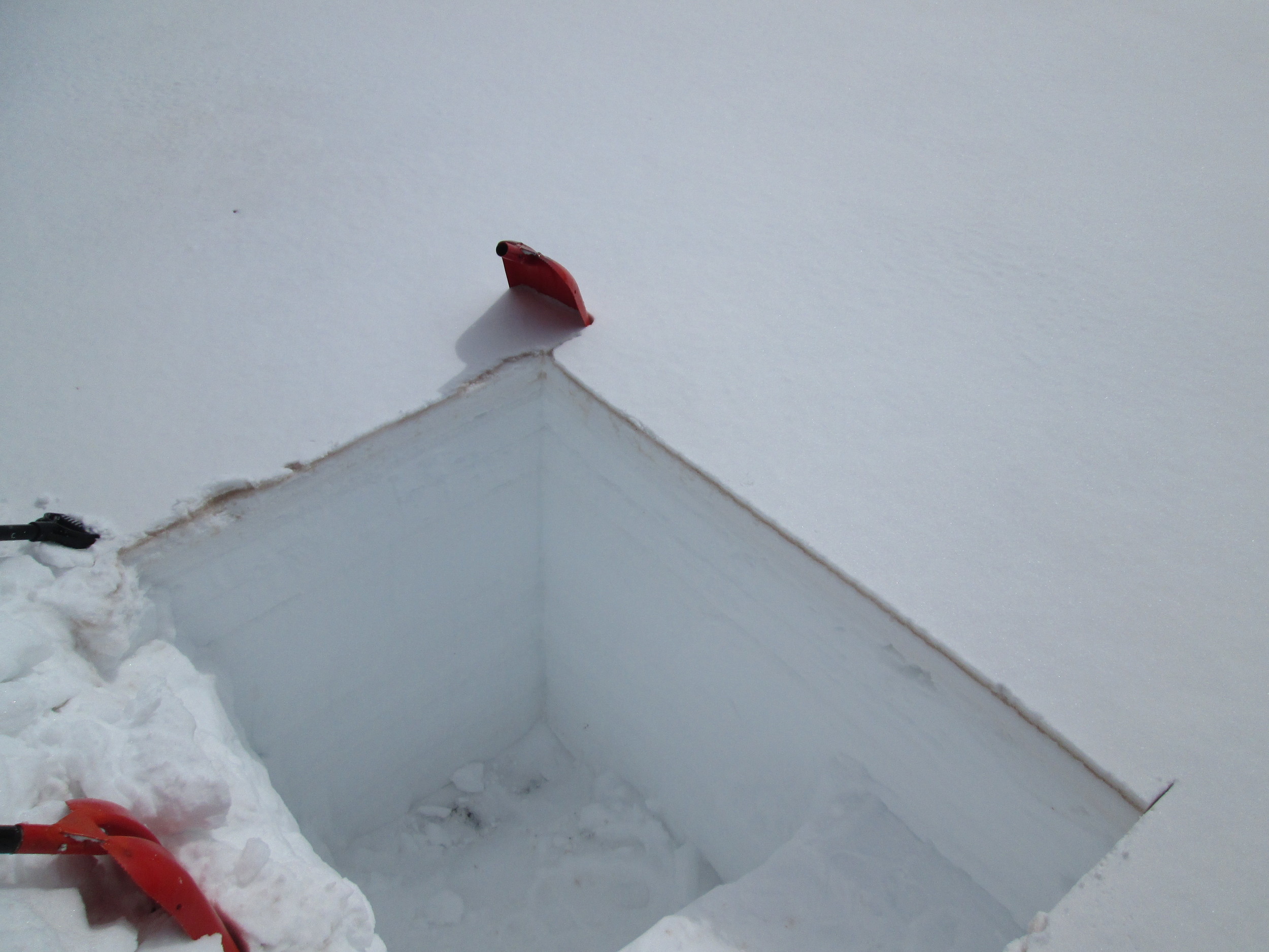
The Grand Mesa snow pit as seen from above, showing the rapid reduction in snow albedo in progress as the thin layer of clean snow above D4 is melted by heat from below, as the D4 layer absorbs incoming solar energy. D3 is faintly visible some 2” below the darker D4 layer.

March 31, 2014
Grand Mesa CODOS Site

March 31, 2014
Grand Mesa CODOS Site

May 21, 2013
A concentrated sample of merged layers D8-D5 dust was collected on Grand Mesa near the CODOS site, at a south-facing site where recent fresh snow had been largely ablated. This sample is undergoing chemical and other analyses by USGS.

May 11, 2013
Grand Mesa in mid-afternoon. No dust-in-snow was visible at the snowcover surface on the Mesa proper.

May 11, 2013
Snowpack ablation and snowmelt runoff was well advanced by May 11, with dust layers D8 & D6 merged and just below a layer of recent clean snow, rapidly melting. A thin and very wet layer of clean snow containing only 1.1” of SWE covered the merged dust layers. The entire snowpack was classified as “very wet”, with slush at the surface.

April 11, 2013
Grand Mesa CODOS snow profiles are performed within a few yards of the Jet Propulsion Lab’s Grand Mesa Study Plot tower.

April 11, 2013
Clouds had just descended onto the Grand Mesa upon arrival at the study site, but winds were very light.
Dust layer D6 was strongly present, buried 8” below the surface. Clear evidence of a surface melt episode was observed in the snow immediately below D6 and snow temperatures had warmed from a mean of -2.8° C on March 23 to a mean of -0.15° C, effectively isothermal.

April 11, 2013
D6 dust was found in the new snow layer that fell onto the D5 layer at the top of the thick band of melt-freeze polycrystals and ice shown in the April 11 profile and seen above the thermometer case in these photos, next to the ruler in the pit corner. Dust layer D2 was still clearly seen, mid-pack, as a dark band a few inches below the thermometer case.

March 22, 2013
The snow profile at the Grand Mesa CODOS site. Only dust layer D2 was present. Our Grand Mesa CODOS snow profile site is adjacent to the Jet Propulsion Laboratory’s Grand Mesa Study Plot instrument tower, where snow albedo, downwelling longwave radiation, snowpack depth, wind, temperature, and humidity are continuously measured.

May 1, 2012
CSAS’s Kim Buck starting the May 1st CODOS snow profile at the Grand Mesa site. Very tough ice layers often require using a steel ‘sod spade’ to begin the snowpit, as Kim is doing here. Our gear is sitting over the location of our prior two snowpits at this site. With each snowpit we move a little closer toward the tower, assuring that our time series of profiles over a given spring are minimally affected by local spatial variations in snowpack properties caused by wind effects, or by the preceding snowpit.

May 1, 2012
Skiing into Grand Mesa Study Plot on dirty snow.

May 1, 2012
After gravimetric sampling at Grand Mesa Study Plot.

April 4, 2012
Andrew Temple digs at Grand Mesa Study Plot.

April 4, 2012
Completed pit at Grand Mesa Study Plot.
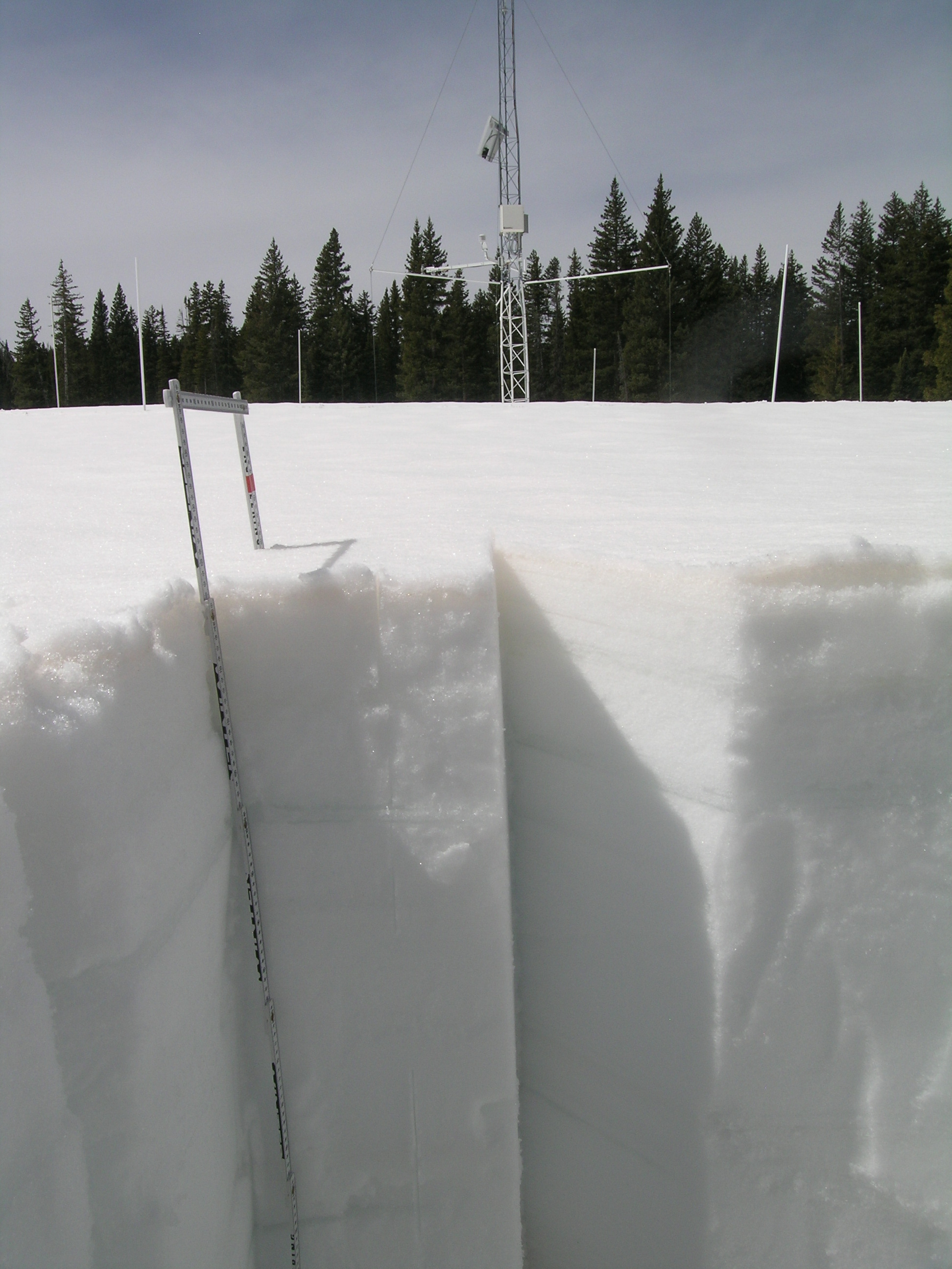
April 4, 2012
Snow pit at Grand Mesa Study Plot.
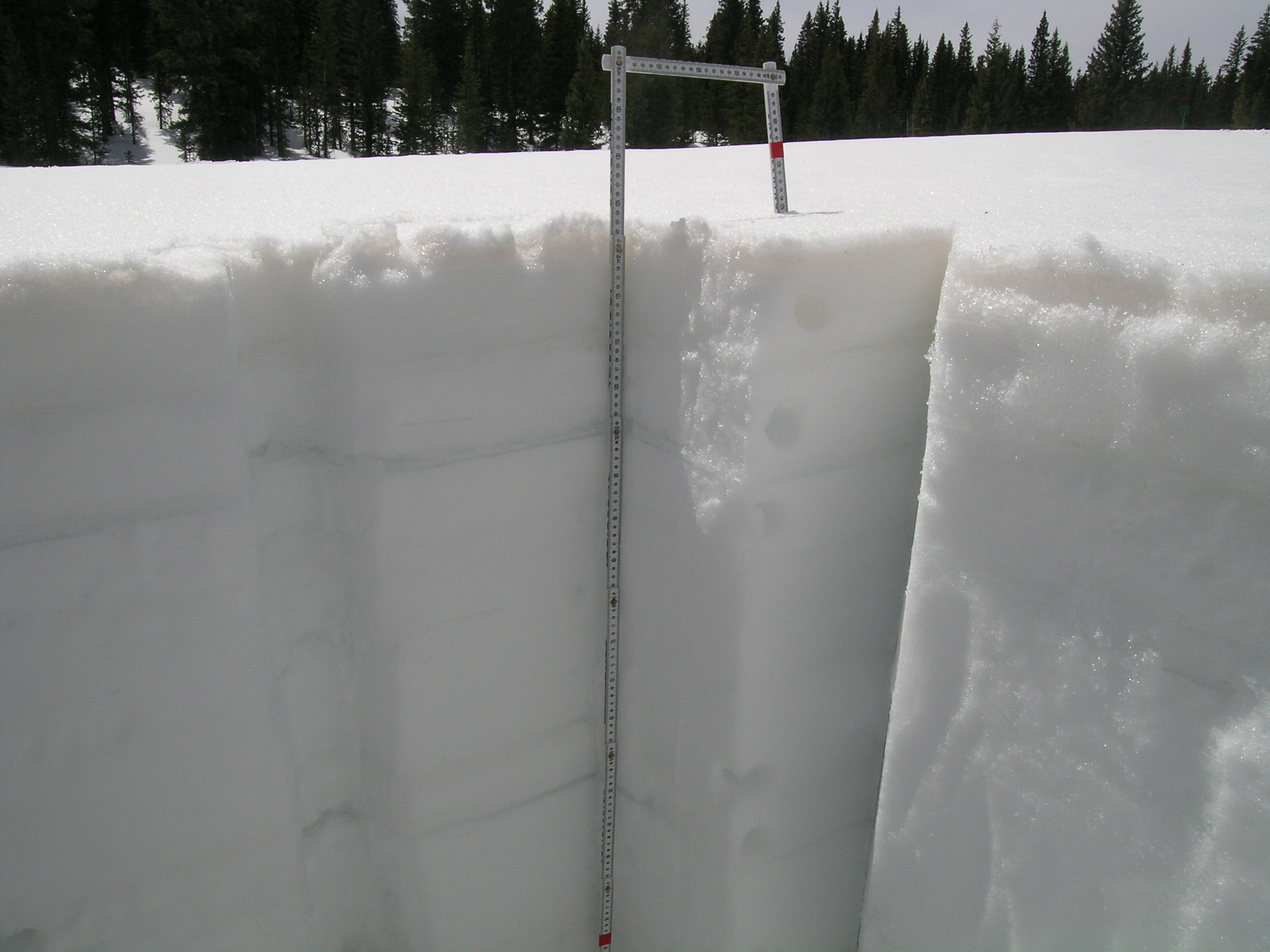
April 4, 2012
Snow pit at Grand Mesa Study Plot.

March 2012

Mesa Lakes Snotel
A view of the Mesa Lakes Snotel site, courtesy of NRCS (from the Mesa Lakes Snotel web page).

March 31, 2014
SWE being measured in the Grand Mesa snow pit. This is the first of a series of 8 core samples from a continuous column collected “slope normal” (perpendicular) to the snowpack structure, in the undisturbed sidewall of the snowpit. This sample contained the snow down to and including the D3 dust layer. The D4 layer may have merged with the D3 layer within the following 24 hour period.


