The predicted dust storms mentioned in yesterday's email did materialize in the Colorado Plateau by mid-day. A 'live report' from a Silverton friend visiting Bluff described blinding dust and zero visibility by noon. Mid-afternoon photos from the USGS's Abajo Peak and Mesa Verde webcams showed building dust-in-air entrained in squally weather. Another report had dust in Cortez shortly thereafter. We also heard reports of 'raining mud' from Pagosa Springs and Montrose.
We began to observe dust in the air and within snow squall clouds at around 5 PM. We'd had several inches of clean appearing snow by then but within an hour the town appeared to have been spray painted pink. Unfortunately, the light was rather poor so our photos around town do not do this transformation justice. However, CSAS field assistant Andrew Temple did capture the same effect at nearby Molas Pass, showing the vivid coral pink dust color at the snow surface.
We will be collecting samples of this D3 dust, and photos of the dust layer in-situ, at Swamp Angel Study Plot either later today (after avalanche control on Red Mountain Pass) or tomorrow. We've advanced our tour of all CODOS sites to begin tomorrow, returning to Silverton by Monday or Tuesday and then issuing a complete set of site-specific Updates later that week. This D3 event is very likely to be spatially extensive and we will verify whether it, and events D2 and D1, are present or absent at all ten sites.
As of this morning, the National Weather Service in Flagstaff has issued a "Dust Storm Warning" for Kayenta and NE Arizona, on strong SW'ly winds developing today. (See attached screen shot). Kayenta has a 40% chance of rain showers and thunderstorms today, but little if any precipitation will fall farther south in the Little Colorado River valley near Leupp and Winslow. As of 0800 this morning, winds were already averaging SW 26 mph and gusting 37 mph in Flagstaff. Moab, UT also will see SW'ly winds today averaging 20-30 mph and gusting to 45, with 30% chance of scattered rain showers (high of 66 F).
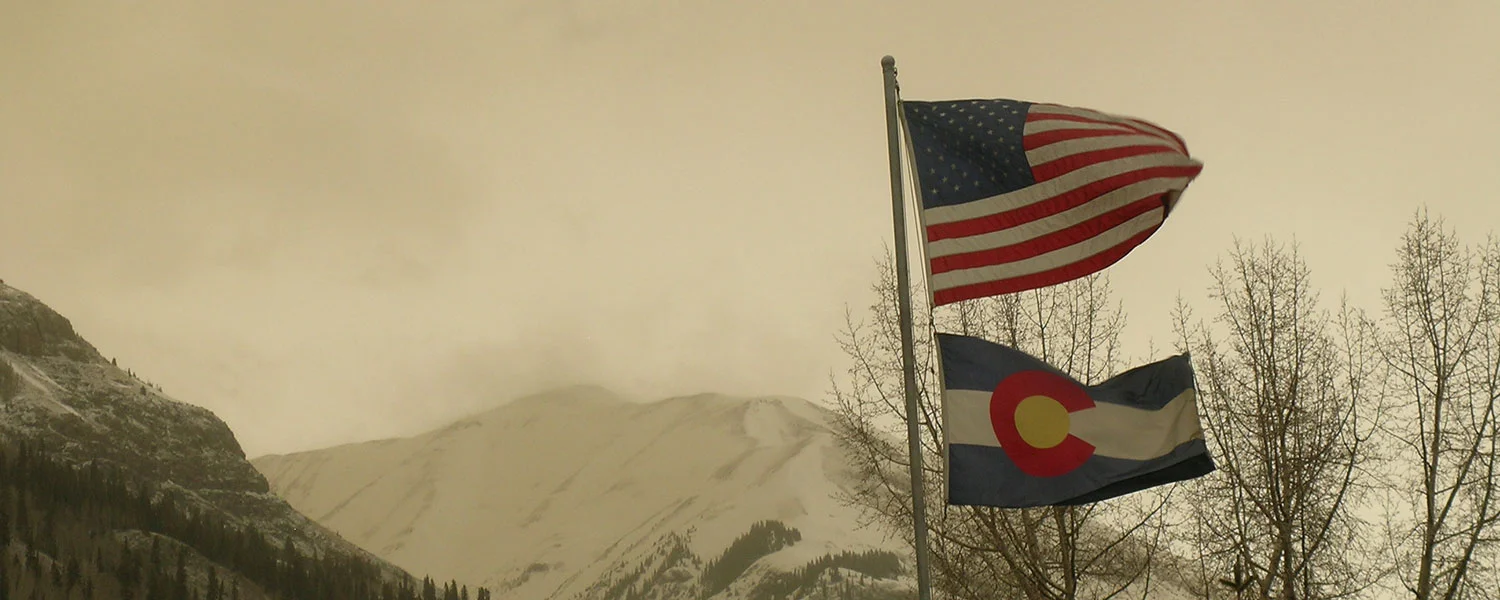
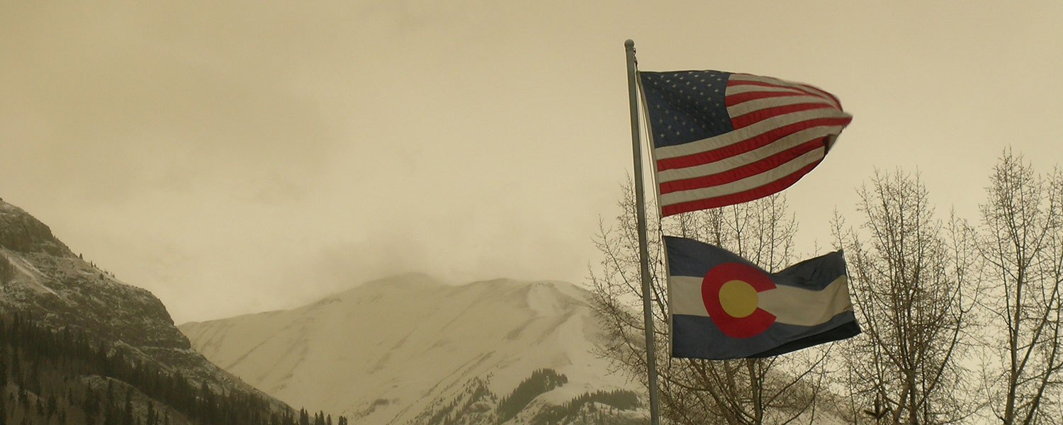
The NWS Grand Junction office is also forecasting strong SW-to-W winds throughout the Colorado mountains today through Thursday, in conjunction with a Winter Storm Warning. So, this is a large, synoptic scale weather system and wind field that could sustain high average wind speeds through Thursday at most Colorado mountain passes.
Dust season has resumed at Senator Beck Basin. As of observation and collection at Swamp Angel Study Plot this Tuesday morning, we must report that a modest new dust layer D2-WY 2014 was deposited ‘wet’, overnight last night, within a trace of precipitation. Based on our Putney wind data, and imagery from USGS webcams at Abajo Peak and Island in the Sky showing building dust in the air in late afternoon, we estimate that this dust was deposited on WNW’ly winds between dusk and midnight Monday, March 17.
Given the north and northwesterly bias of this winter’s active storm track and winds, and corresponding lack of southwesterly flow, most of Colorado’s mountain watersheds have already developed well-above-average snowpacks. The San Juan Mountains and most associated watersheds are the exception to that trend in snowcover. The southern San Juan Mountains may also have the only snowpack containing significant dust, as of event D1, February 16. If, in fact, the remainder of the state’s snowpack remains dust-free, then snowpack ‘ripening’, toward snow temperatures of 0° C throughout, is proceeding without the extra energy provided when desert dust contained in or near the snowpack surface absorbs solar radiation. However, the majority of dust-on-snow events (and dust mass) logged by CODOS for Water Years 2005-2013 occurred after mid-March. Given current snowpack conditions, and the likelihood that many Snotel sites have not yet recorded Peak SWE, even in the absence of dust-on-snow Spring 2014 snowmelt runoff is going to release large amounts of water and flooding hazards are emerging in some watersheds. Should dust be deposited in the Colorado snowcover over the next several weeks, that dust will be positioned high within the snowcover and, in conjunction with April and May weather, influence the timing and rate of the high-volume snowmelt runoff. That potential interaction of very high SWE, potential dust forcing, and spring weather conditions is captured within a 3x3x3 dust-enhanced snowmelt runoff behaviors “space”.
Based on observations over the past week, I can now report that dust season has arrived, albeit just barely, at Senator Beck Basin, with an extremely weak D1-WY2014 dust layer deposited early on the morning of February 16. Ambiguous evidence was present on the snow surface near Swamp Angel Study Plot (SASP) later that morning, confounded by heavy vegetation debris, and I could not actually see a dust layer in my snow profile at SASP. However, over the past week, clear cut evidence of the layer was exposed farther south, at Molas and Coal Bank passes.
January 2014 was also a notably windy month at our Putney Study Plot, recording our highest total miles of wind (13,214 miles) for any January in our period of record.
This is the first season since WY 2005 that we have not received at least one early winter dust-on-snow layer in Oct/Nov/Dec, perhaps a function of the wet weather throughout the Southwest last fall.