May 4, 2019: Dust Present Throughout State, On Top Of Very Big Snowpack
Greetings from Silverton,
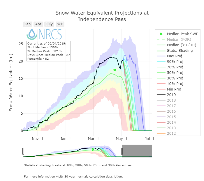
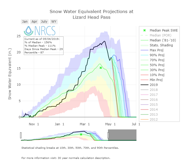
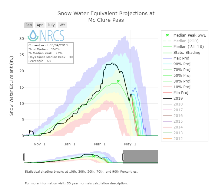
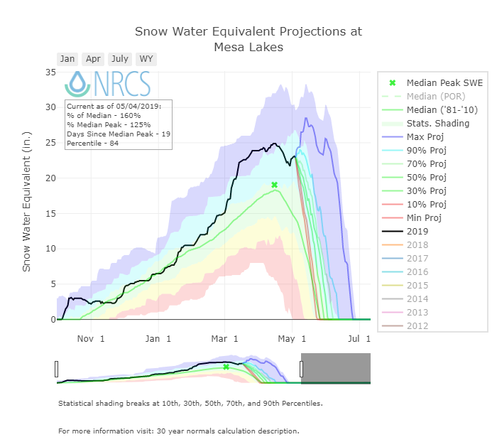
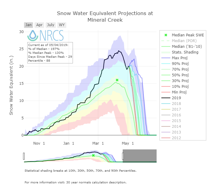
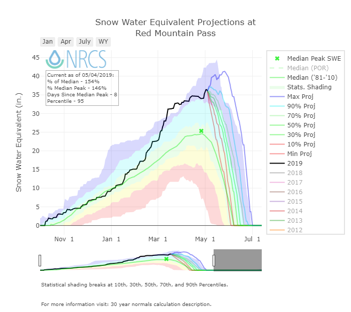
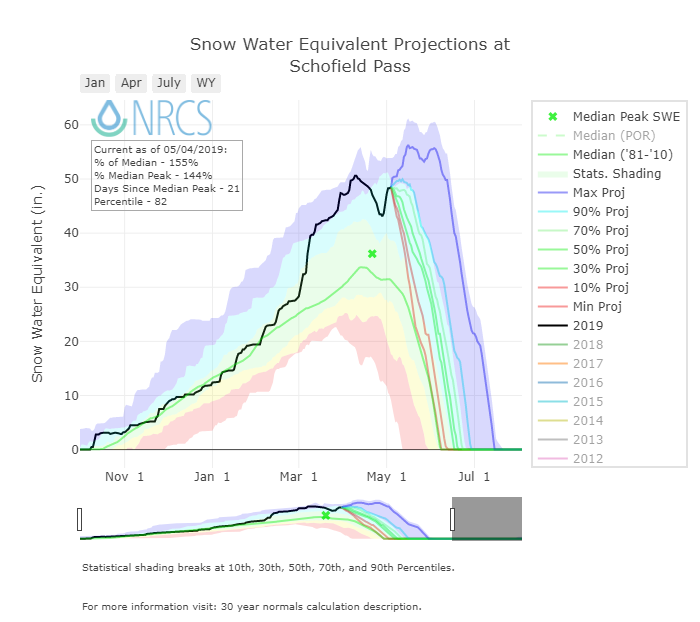
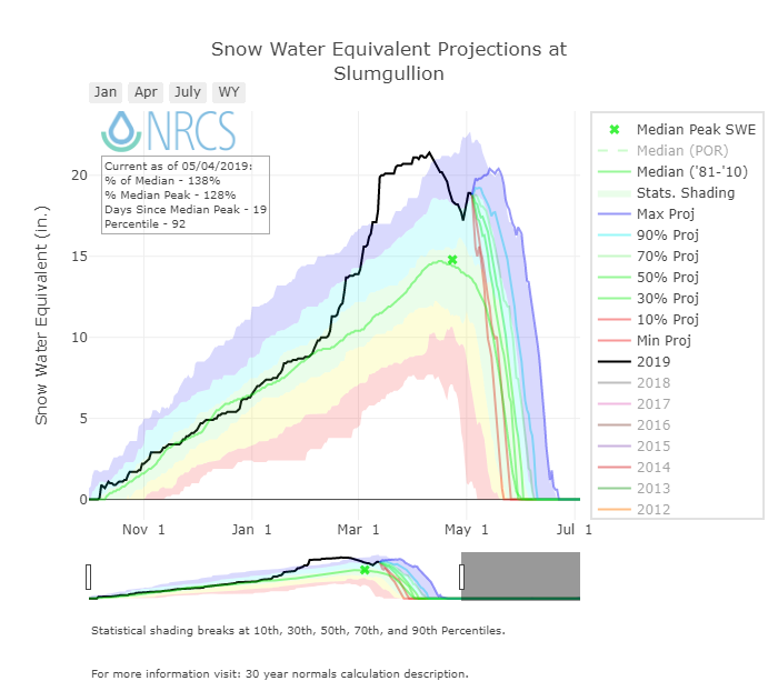
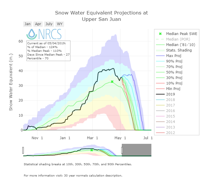
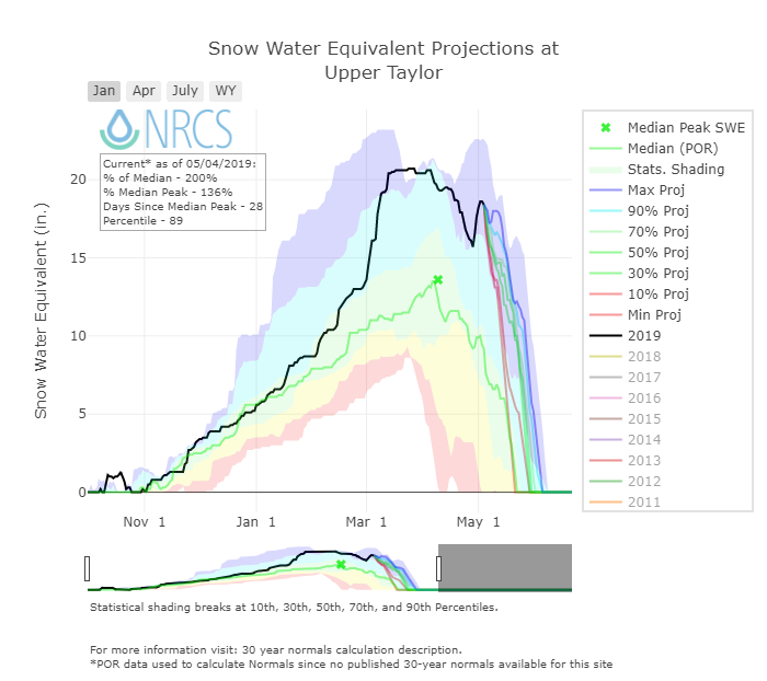
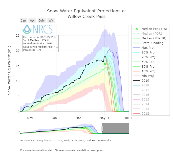
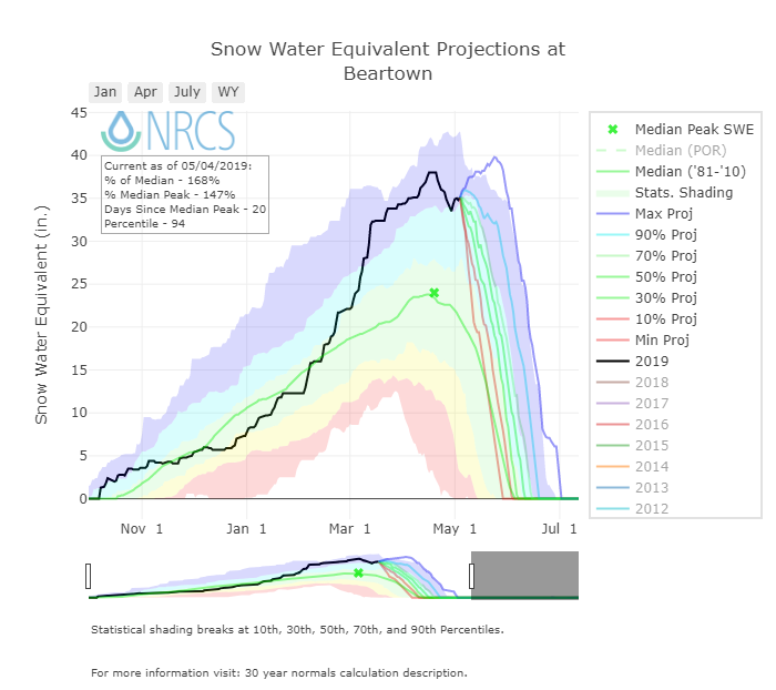
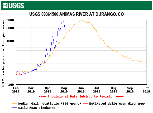
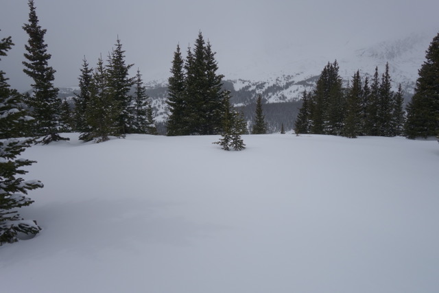
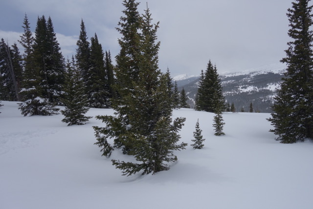
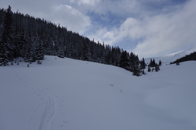
Our CODOS tour around Colorado began Monday and finished Friday afternoon. To see a map of our sample sites throughout the state please follow this link. Dust from the April 9/10 storm event (D3) was observed at all CODOS sites across the entire state. From Monday thru Thursday (April 30 - May 2) most of the Colorado Mountains received a productive storm and general unsettled weather meant 7 days of precipitation at SASP resulting in 3” of precipitation in the form of wet snow. After this productive storm(s) a number of higher elevation SNOTEL stations (see SNOTEL plots below) appear to now be near peak SWE (Berthoud, Grizzly, Hoosier, Red Mountain, Willow, Fremont), although the peak may still be a week away depending on what melt occurs now until Wednesday when a storm system is expected to arrive, and how much precipitation this storm brings and where.
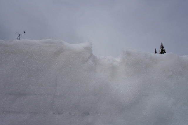
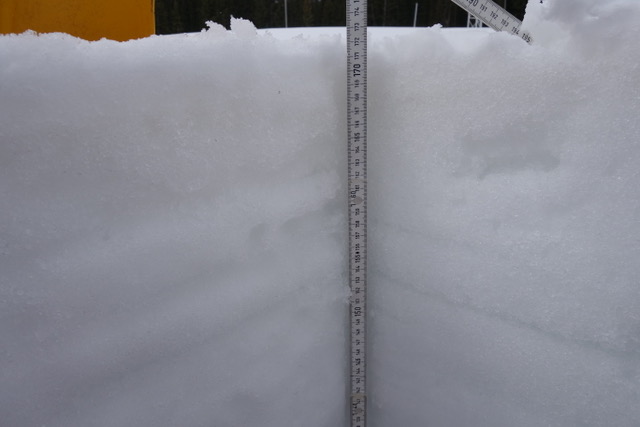
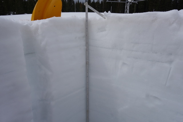
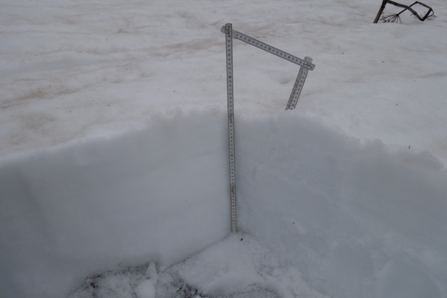
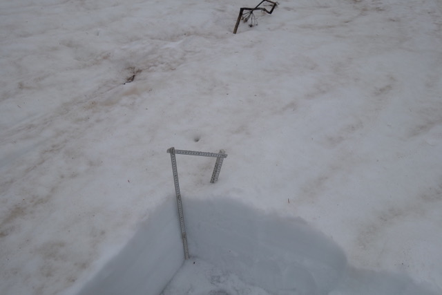
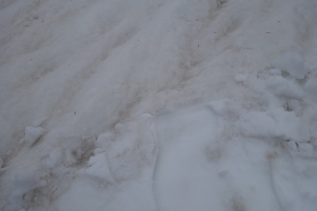
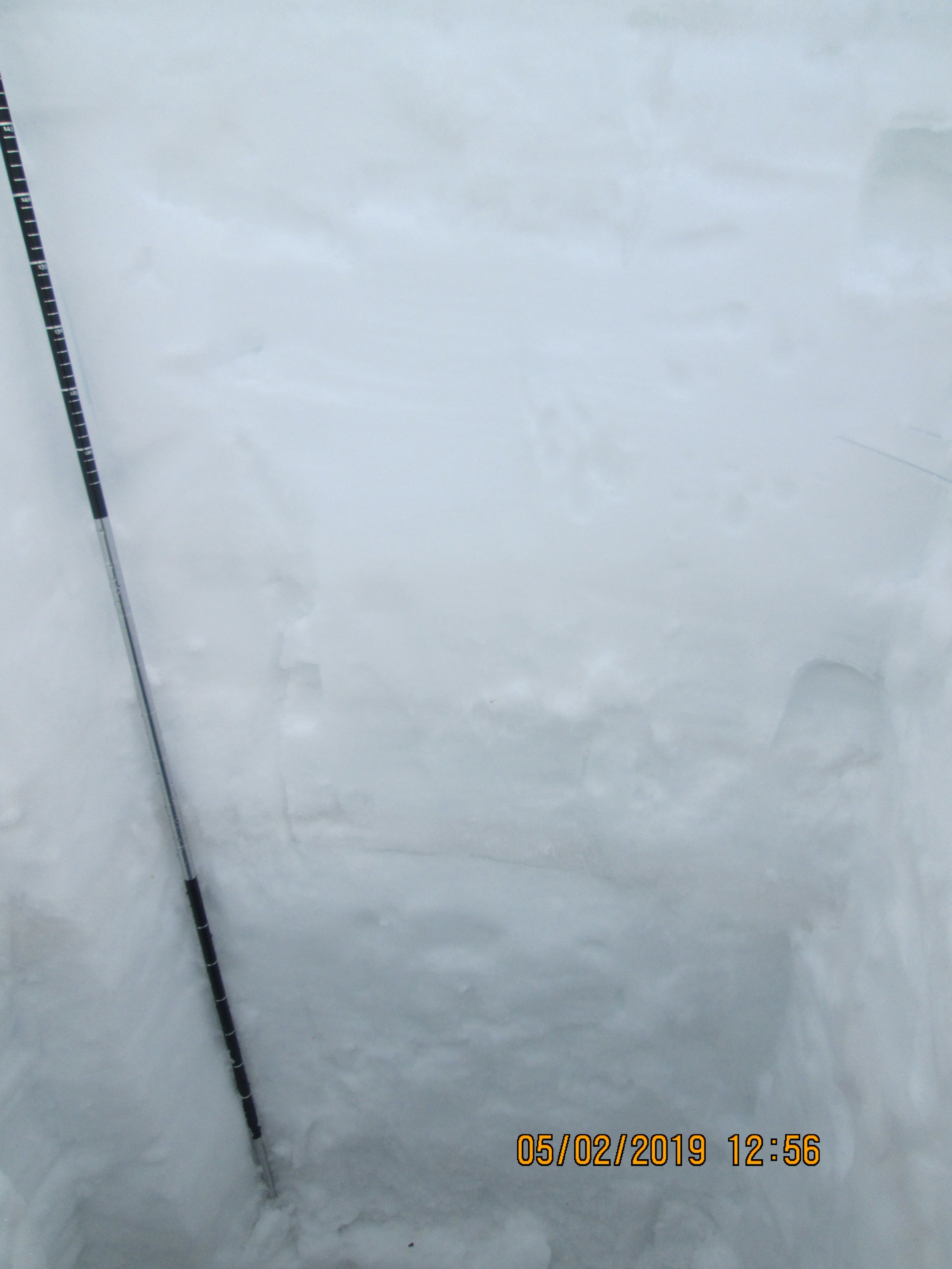
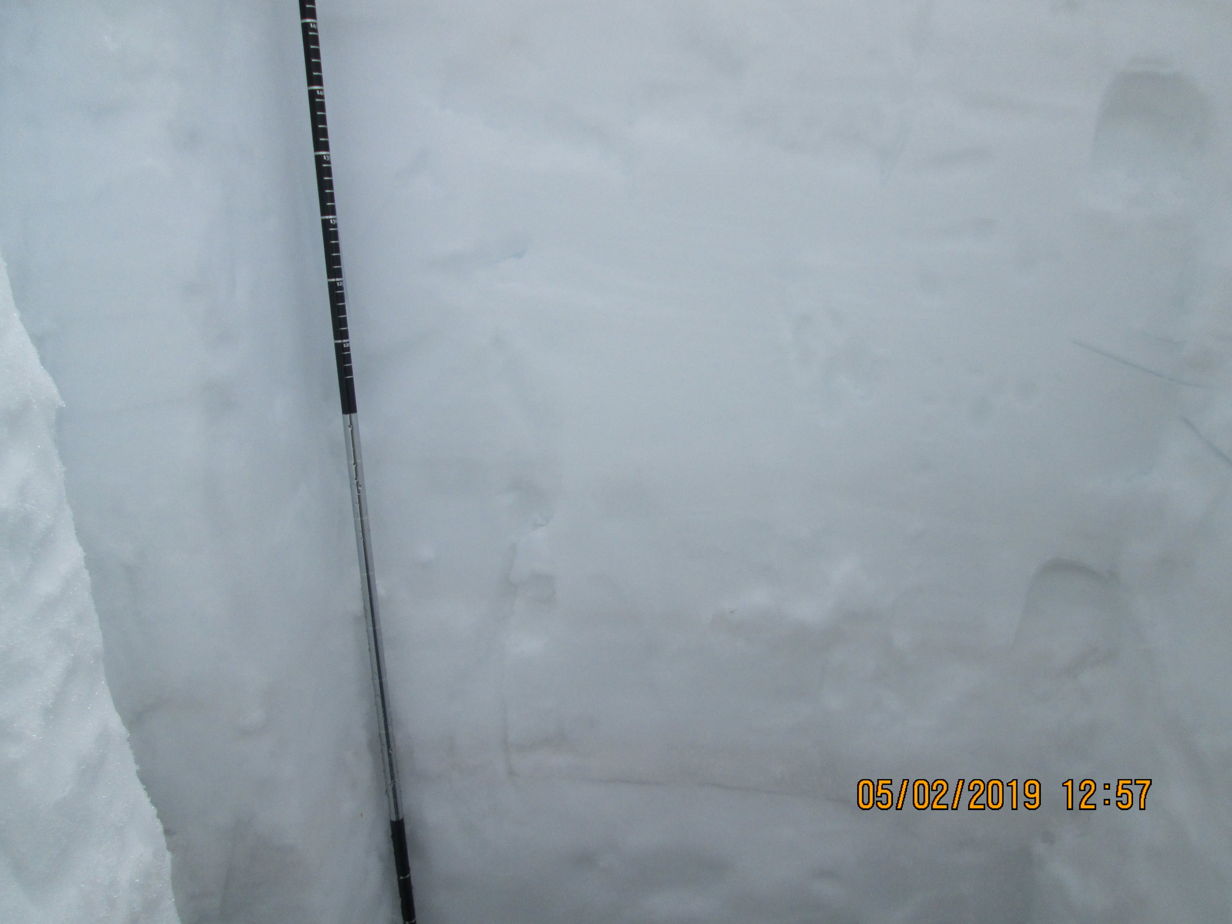
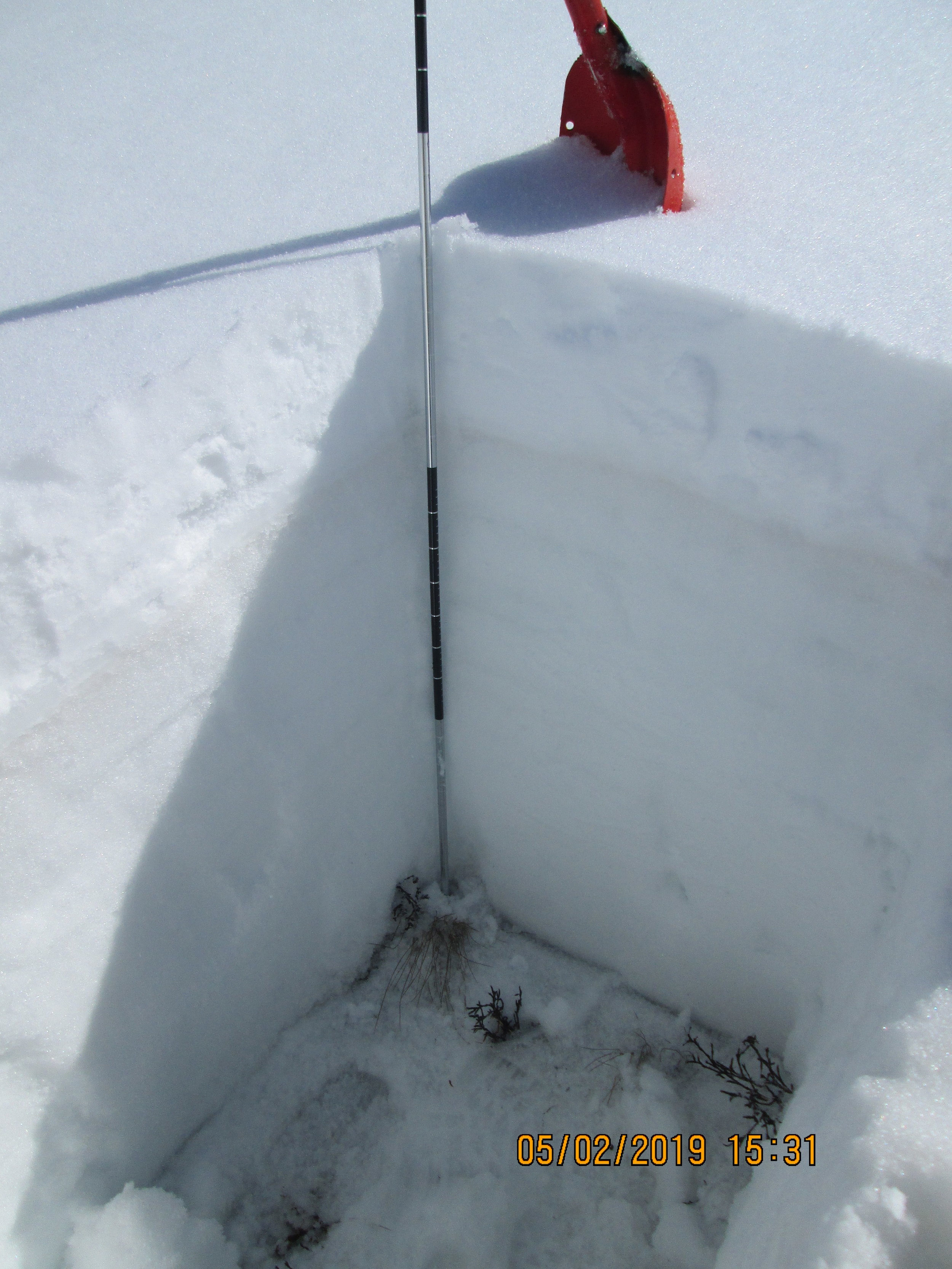
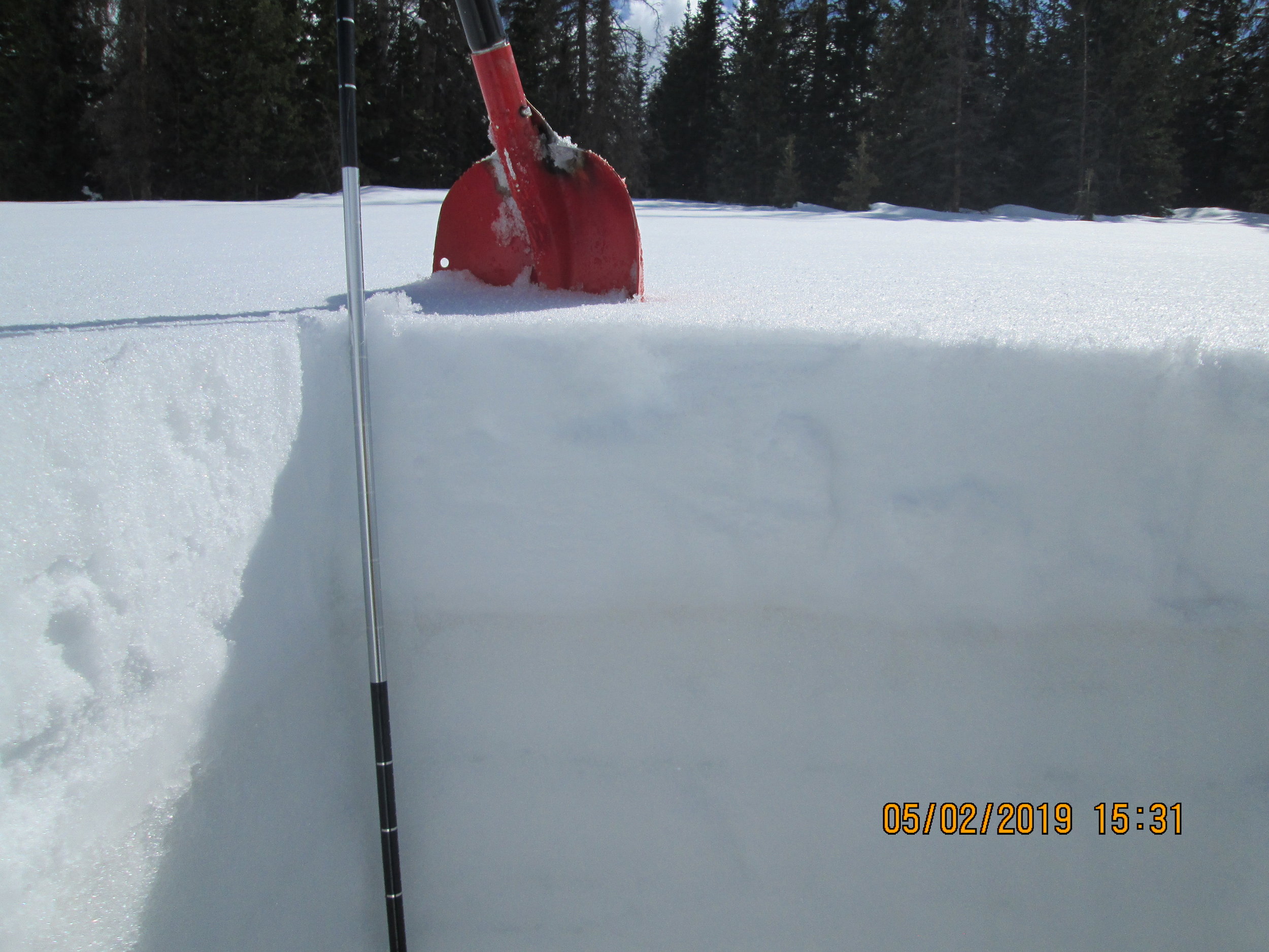
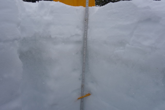
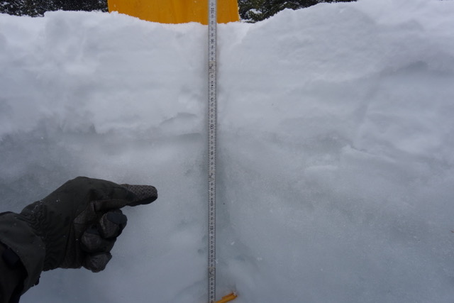
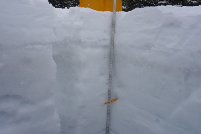
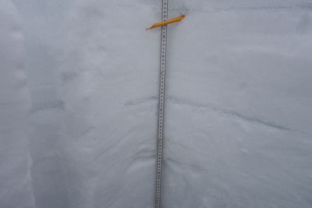
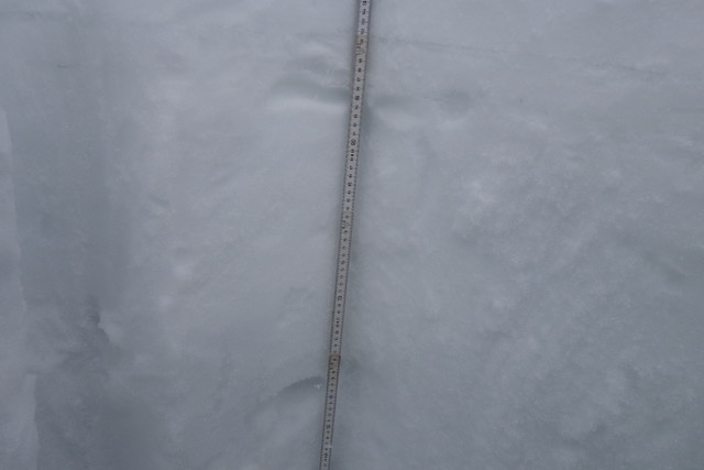
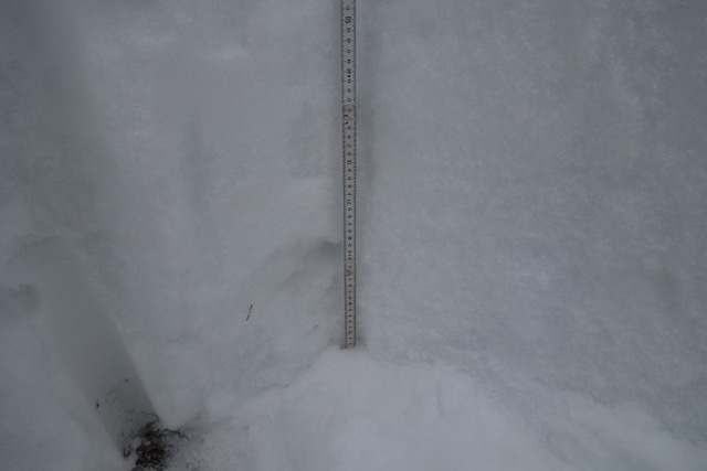
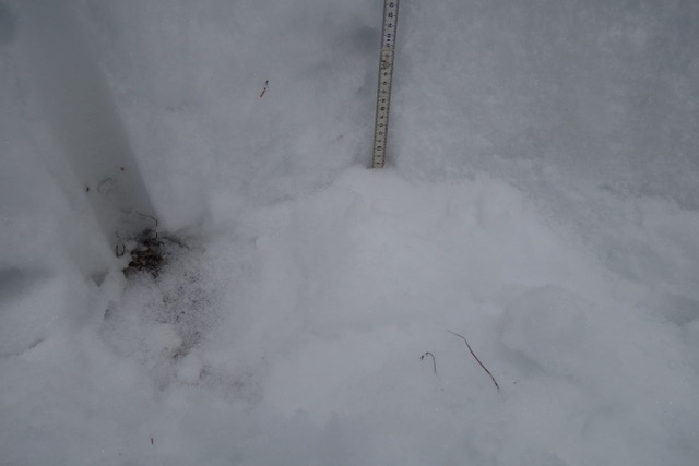
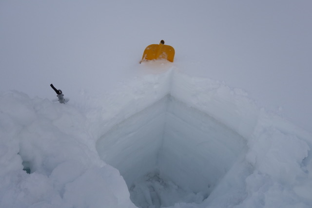
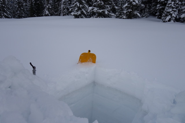
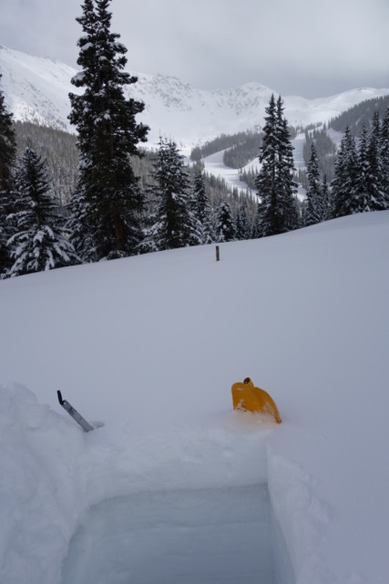
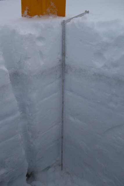
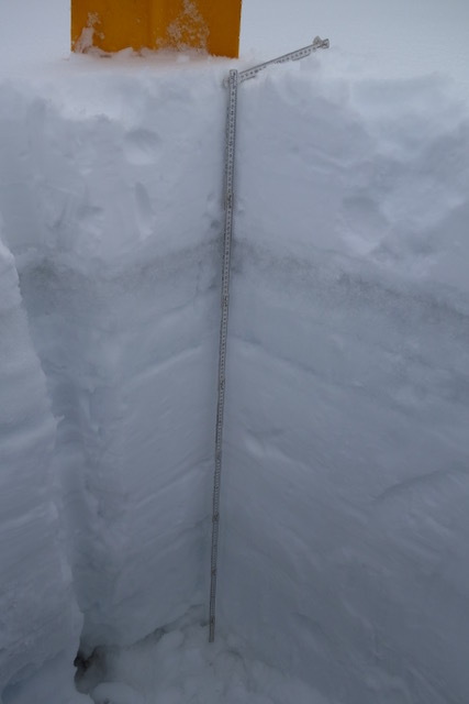
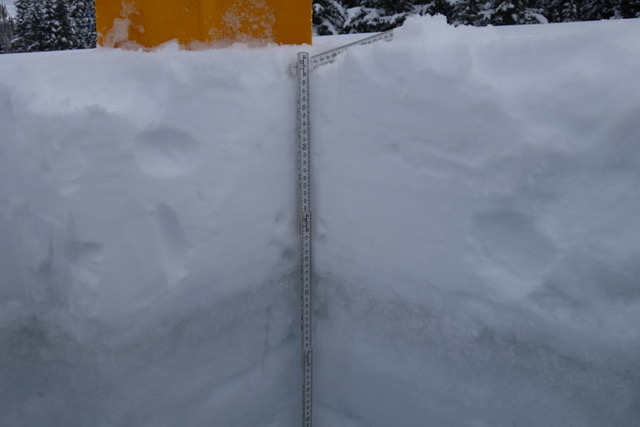
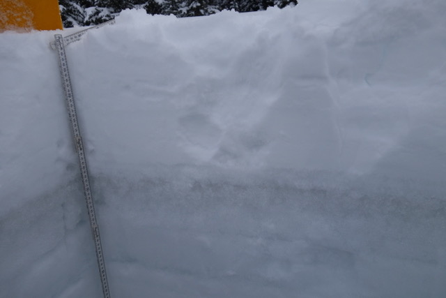
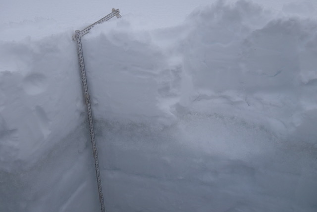
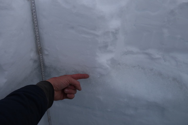
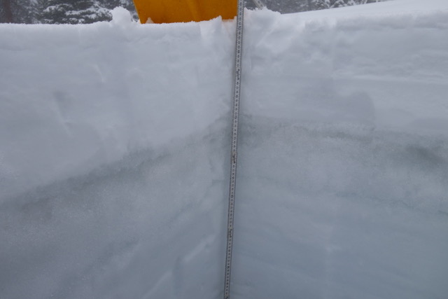
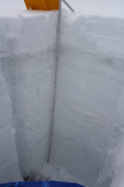
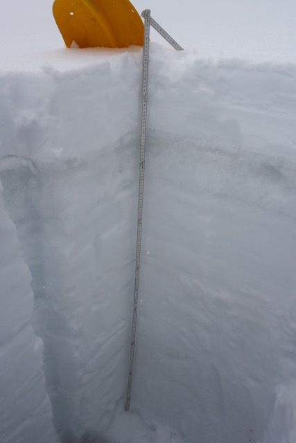
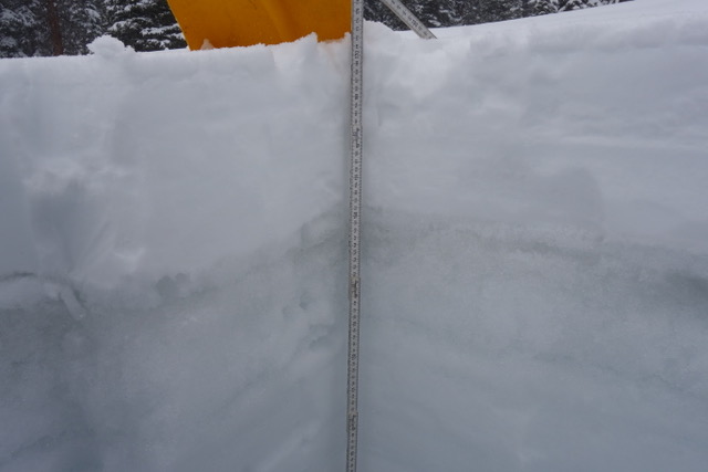
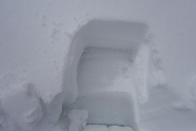
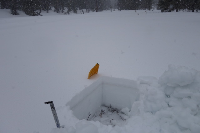
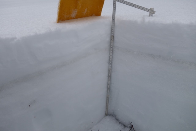
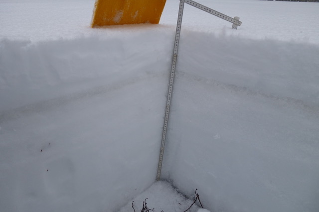
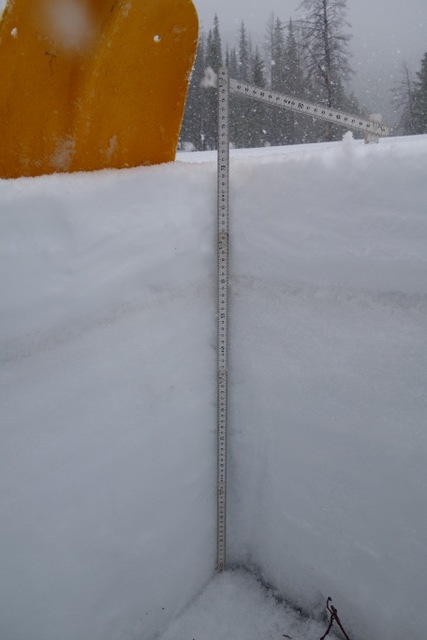
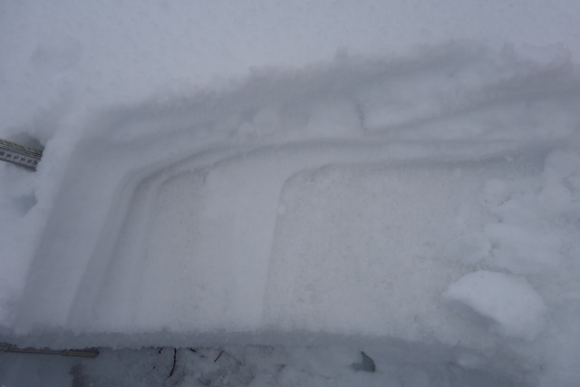
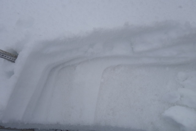
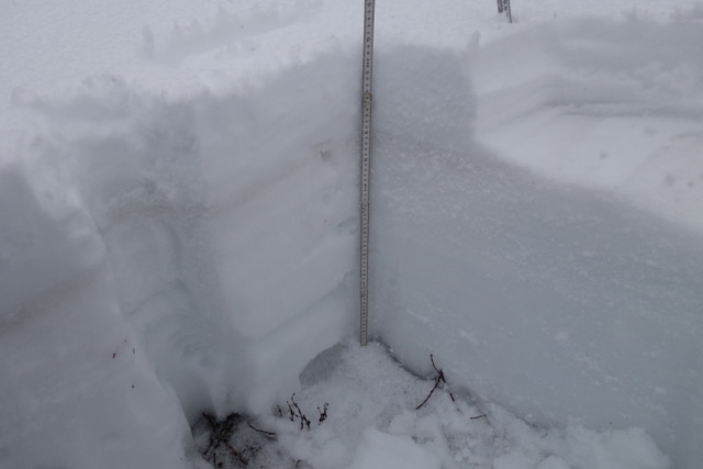
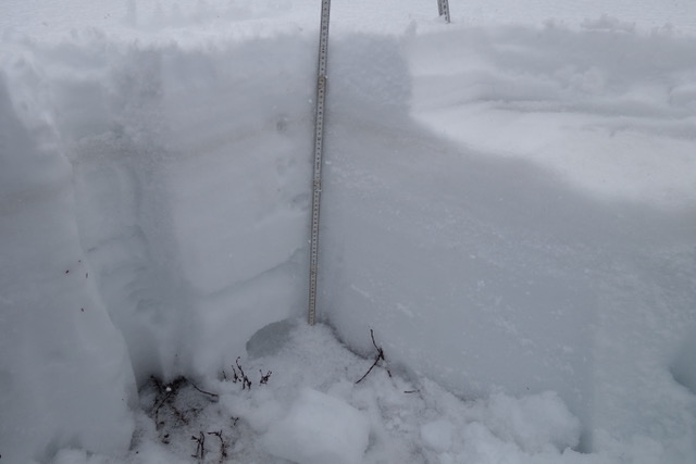
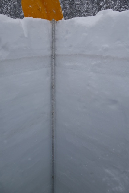
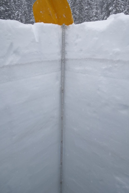
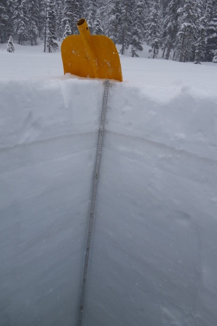
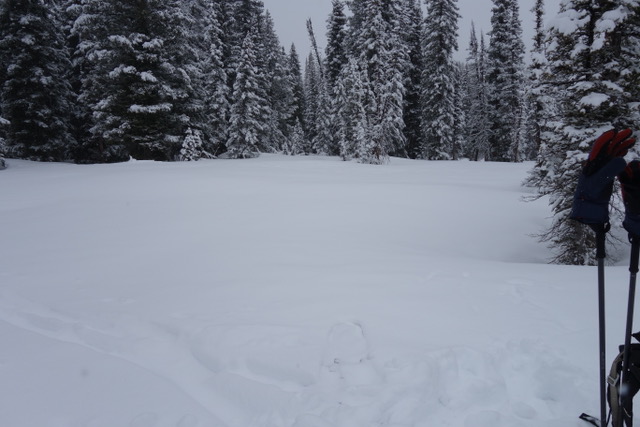
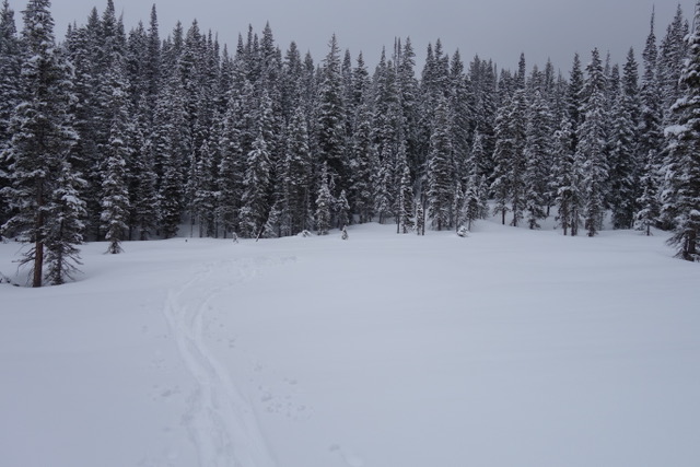
For CODOS sites that were visited before snow accumulation began the dust was observed at the surface. For sites that we visited during or after snow accumulation the dust was under the new snow. So essentially, the dust was on the surface prior to the storm and will be back on the surface once this new snow consolidates and melts. Dust severity is enough that it has and will effect albedo. Below are pictures and observations for each CODOS site detailing location of dust layers, new snow accumulation on the dust, and general sense of severity of dust.
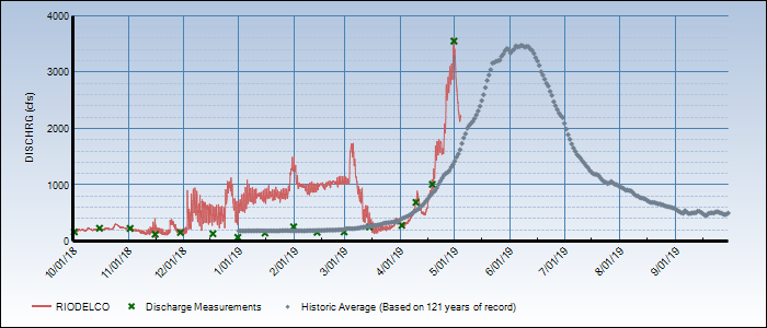
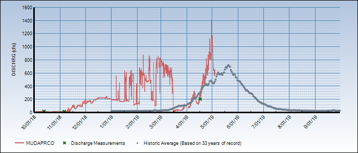
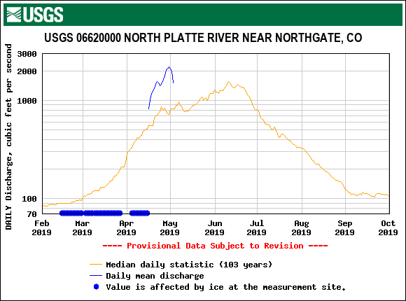
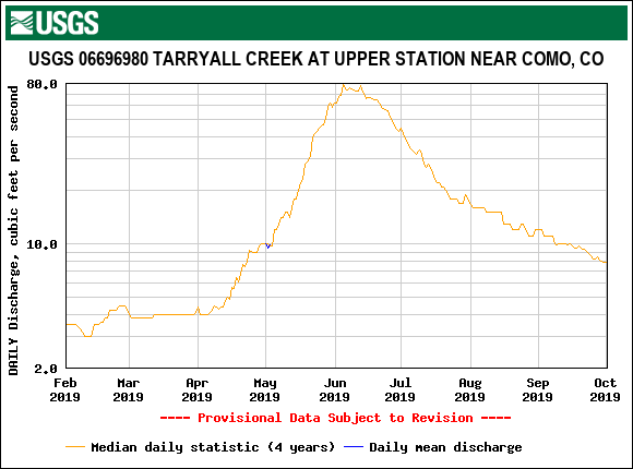
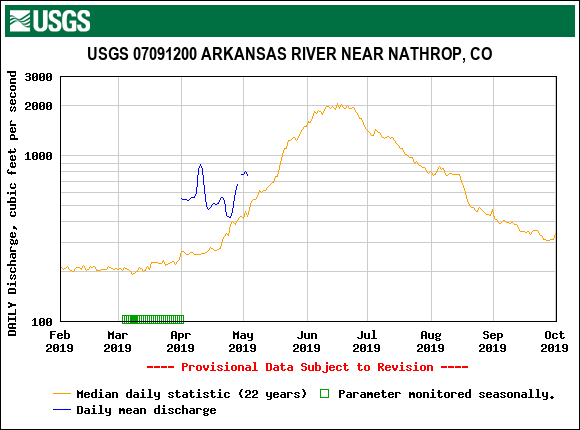
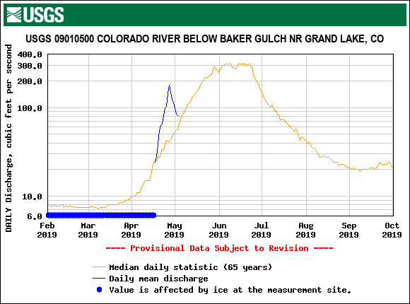
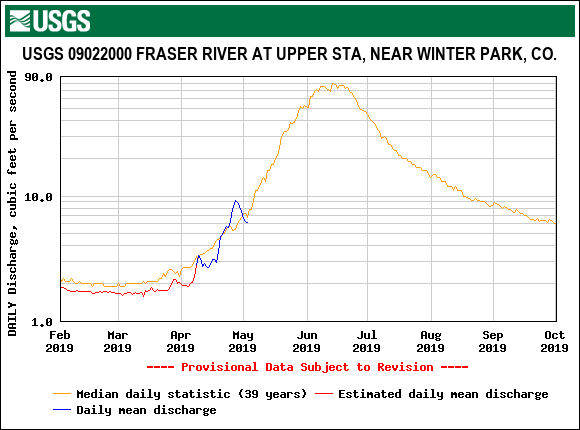
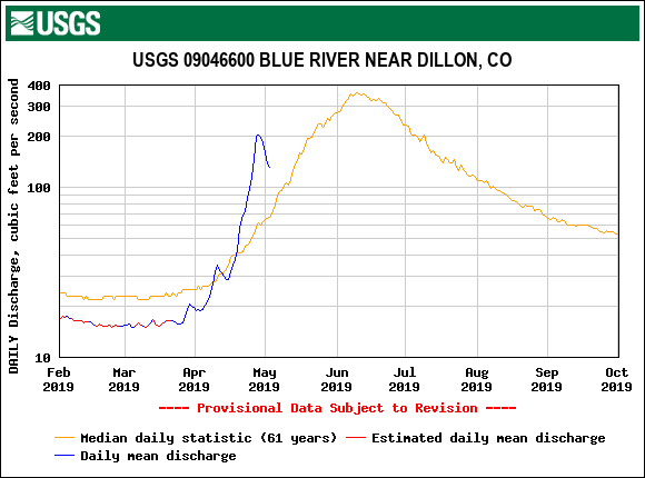
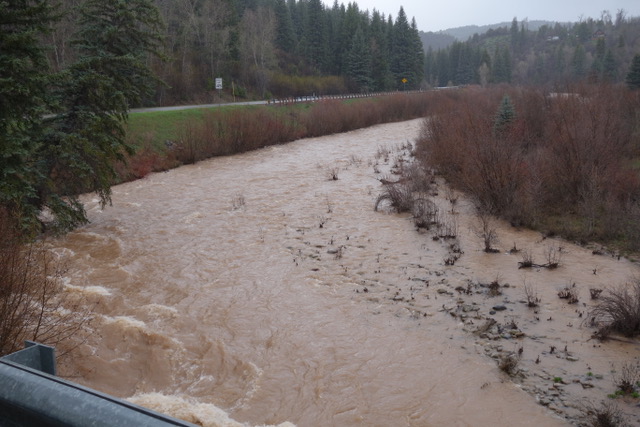
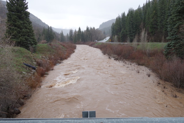
After the overcast and stormy conditions we experienced Monday thru Thursday slowing snowmelt and resulting in reduced streamflows statewide, the heat will be on thru Monday picking things up a bit. The next tap on the snowmelt brakes starts Tuesday with increased chances of precipitation Wednesday-Friday. The snow level will start high, above 9,000’, but lower towards the end of the week. Models are coming into agreement with this system expecting to produce over 1” of water in some areas.
This is a low frequency dust season (only two notable dust events to date) but may be a high consequence snowmelt season. The two dust events we have received are at the top of the snowpack…..a very big snowpack. How it all plays out depends on spring weather going forth. The snowpack at all CODOS sites are isothermal, wet and at certain depths very wet. As storm systems exit the state and warm/sunny conditions return the snowpack will not waste anytime going back into melt mode. Much more so once the dust layer(s) are exposed at the snow surface. So far this spring we have received well timed storm systems slowing down snowmelt, adding even more precipitation to the snowpack, and covering exposed dust. This keeps streamflow peaks from occurring early and all at once. Ideally inclement weather will allow the snow to melt gradually well into the summer, but if we get a stretch of warm and sunny weather we will see rapid melt in basins that are 110%-172% of median snowpack and very high streamflows as a result.
Another item to consider, we mentioned in previous CODOS reports our SBSP site at elevation 12,200’ is currently in the top three years, being up there with WY2005 and WY2011 for the most SWE in our period of record (going back to WY2004). SBSP is the only source of high elevation operational snowpack data in Colorado. The highest SNOTEL station in Colorado is at 11,600’. So not only are we seeing a lot of snow at higher elevations at SBB and visually elsewhere, but our longtime CSAS field assistant has noted that this is the most snow he has seen on all aspects for this time of year, notably southerly aspects. This winter we did not see any winter “droughts” where a long period, usually in January or February, of sustained warm and dry weather render southerly aspects partially or completely devoid of snow. Unlike typical years where the snow would be melted out by now, the southerly aspects most notably still have ample snow.
Please see individual snow profiles here
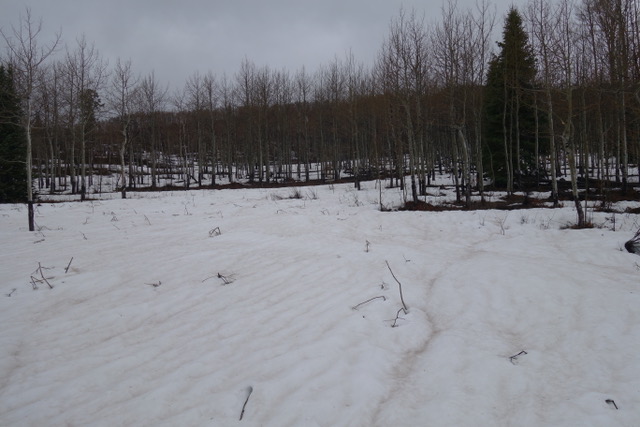
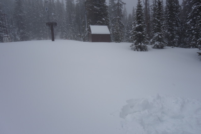
Grand Mesa, April 29
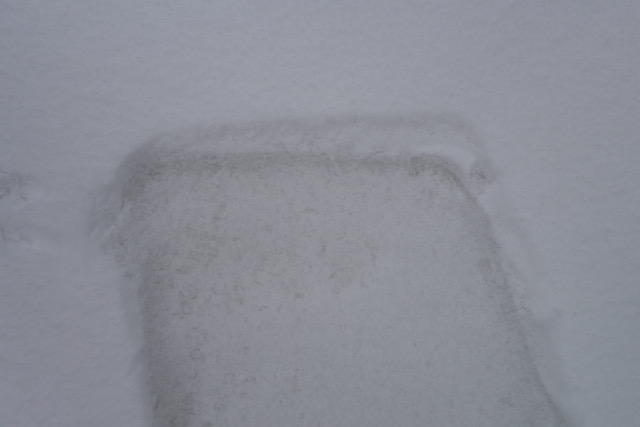
D2 (from the March 6 storm) and D3 (from the April 9 storm) were observed at Grand Mesa. As the above pictures taken on Monday, April 29 indicate the dust is very noticeable on the surface from D3. This is of moderate severity overall across the landscape, significant enough to greatly reduce albedo. D2 is located 34” below D3. Since Monday Mesa Lakes SNOTEL reports an additional 0.8” water and ~6” snow accumulation. Due to the wet nature of the new snow and spring conditions the dust is likely back to being on the surface relatively soon. Currently it appears about 4” below snow surface. We will keep stakeholders updated as to when snow height appears to be back at the level of the D3 dust layer.
MCCLURE PASS, April 29
As is typical the snowpack at McClure Pass is shallow compared to other CODOS sample sites, but it is still currently 152% of median. Over the last three weeks we have seen rapid snowmelt at this site. Snow is mostly gone at elevations just below the McClure Pass. This area can usually see more impurities on the snow, some of which come from local forest debris, but regardless this area is currently very dusty. Overall dust severity is on the upper end of moderate. McClure received ~10” new snow accumulation from the April 30-May 1 storm and close to 3” precipitation. It is going fast (5” depth lost to melt/consolidation May 1-2), so I am guessing dust will become exposed again by the time the mid-week storm arrives that is in the forecast (hopefully covering dust again).
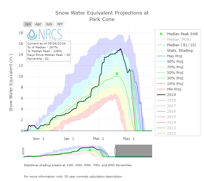
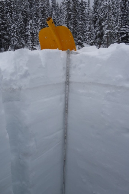
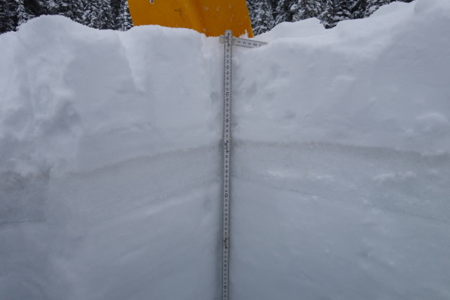
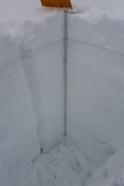
Park cone, May 3

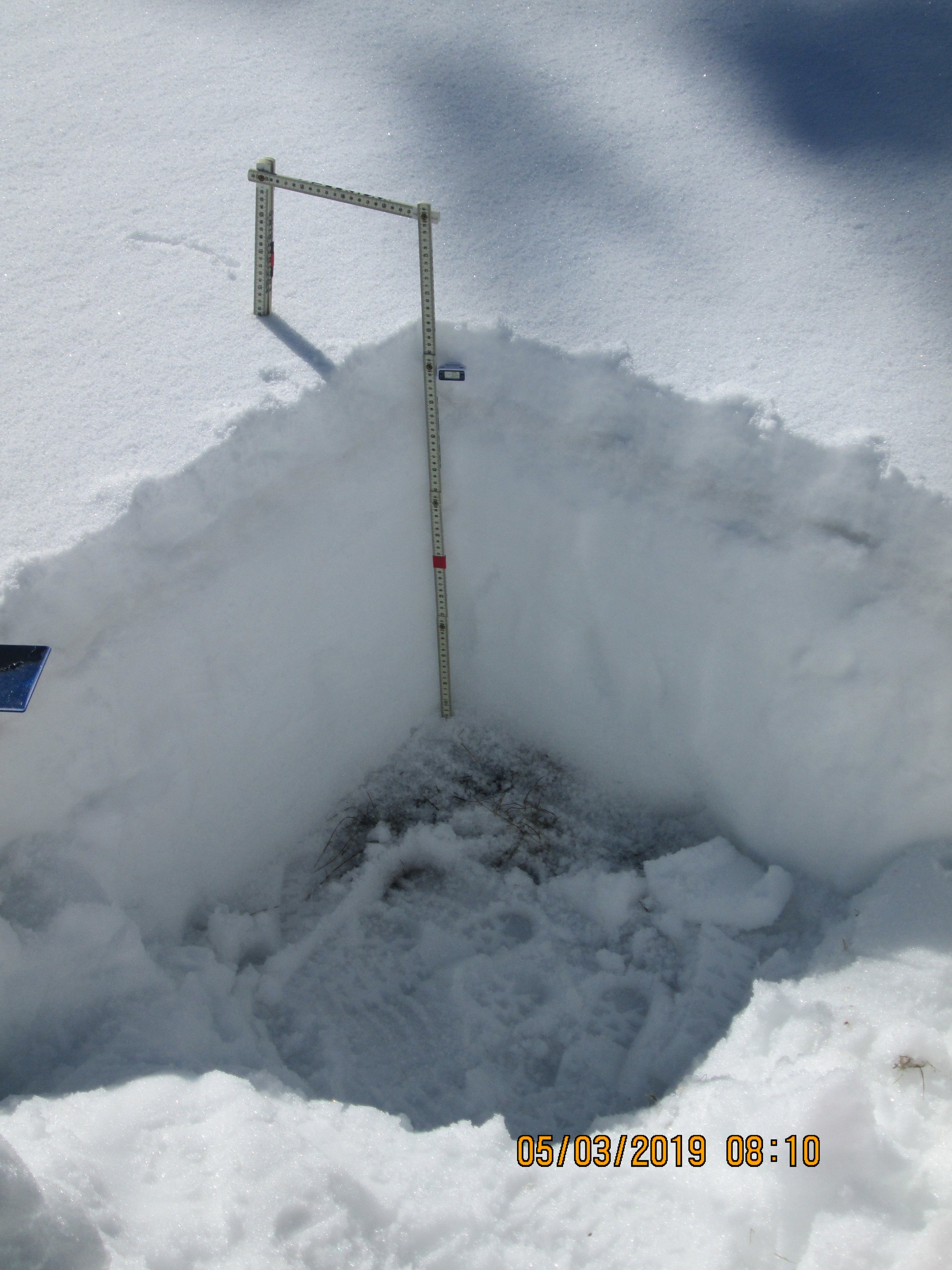
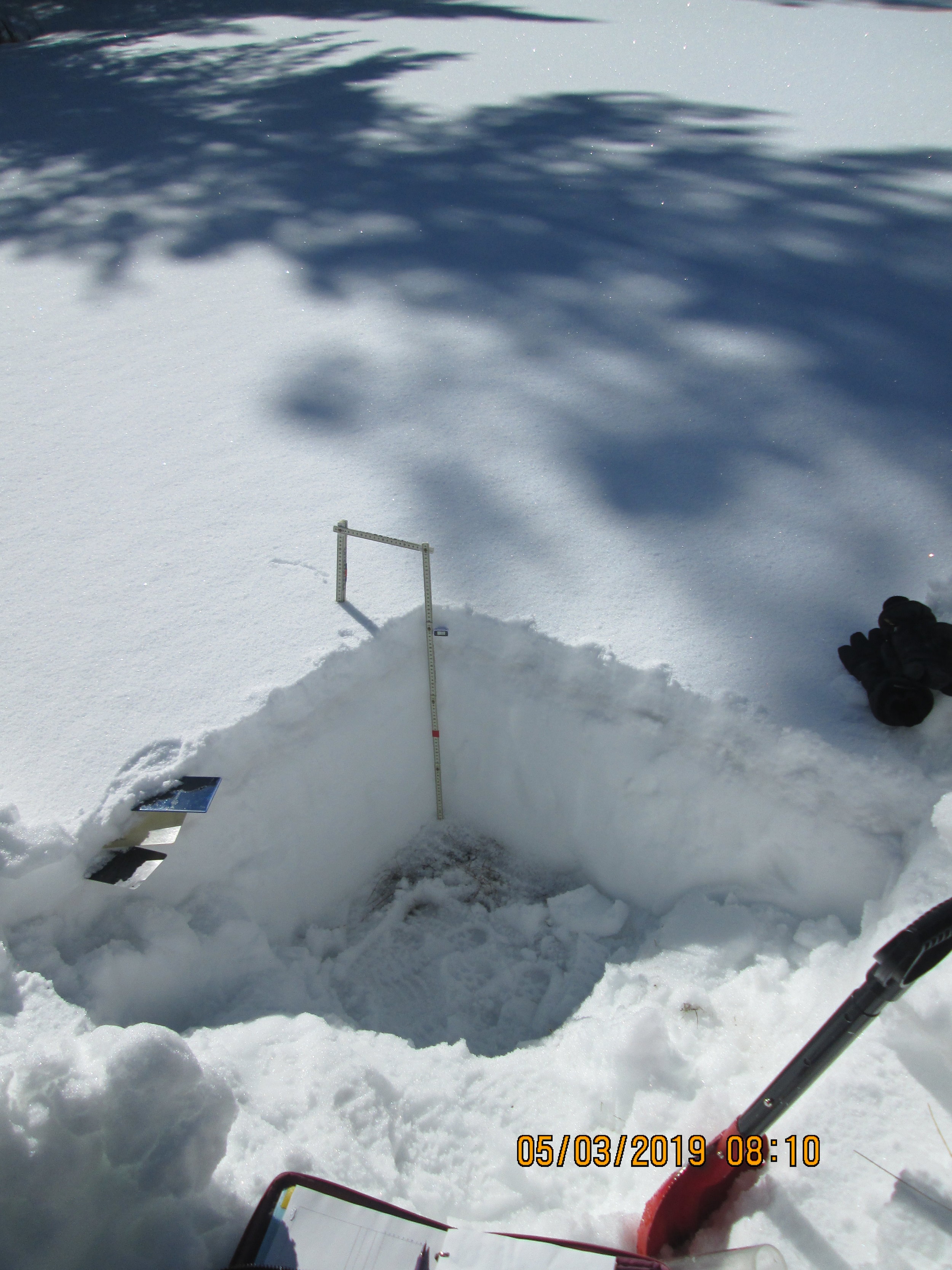
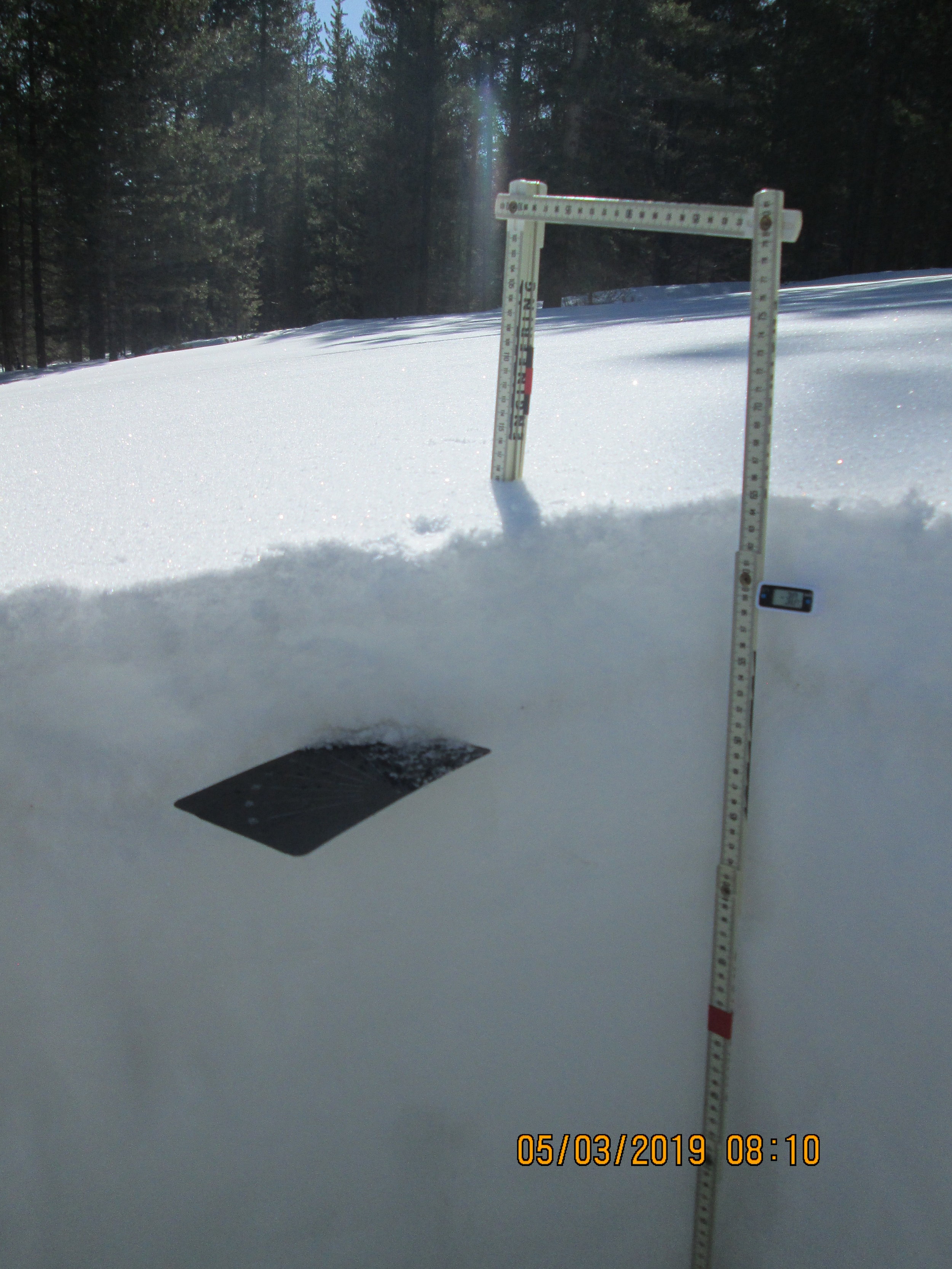
At Park Cone dust is currently 3.5” beneath the surface. Dust severity is light/moderate in the general area, but judging that significant dust is present in the Collegiate Peaks and CODOS sites surrounding this watershed, I would think there are locations where dust severity lean towards the moderate side. Park Cone SNOTEL is currently 287% of median! Our snow profile was 26” deep with 10” SWE, Park Cone SNOTEL reported 11.2” SWE and ~24” snow depth on May 3.
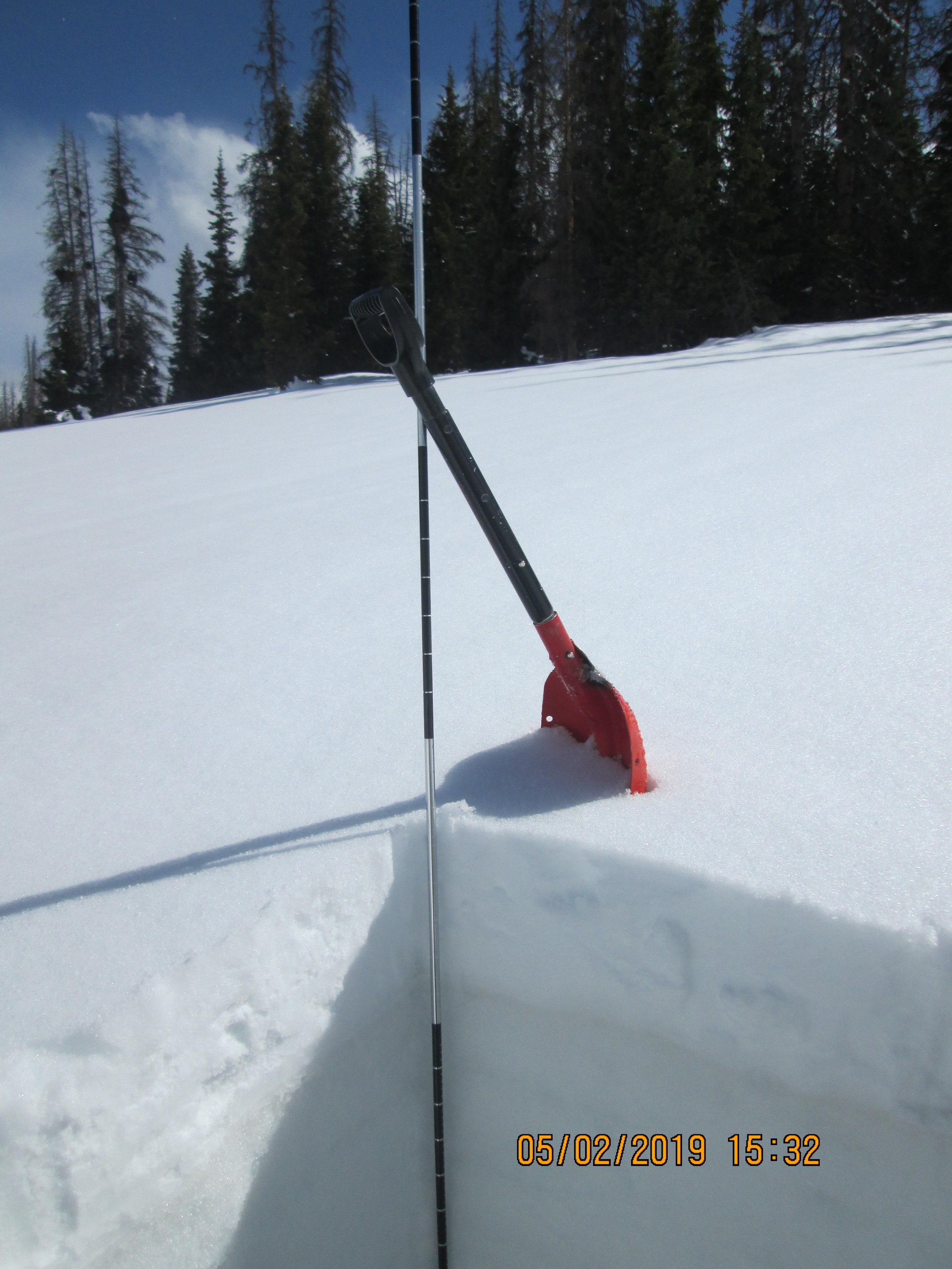
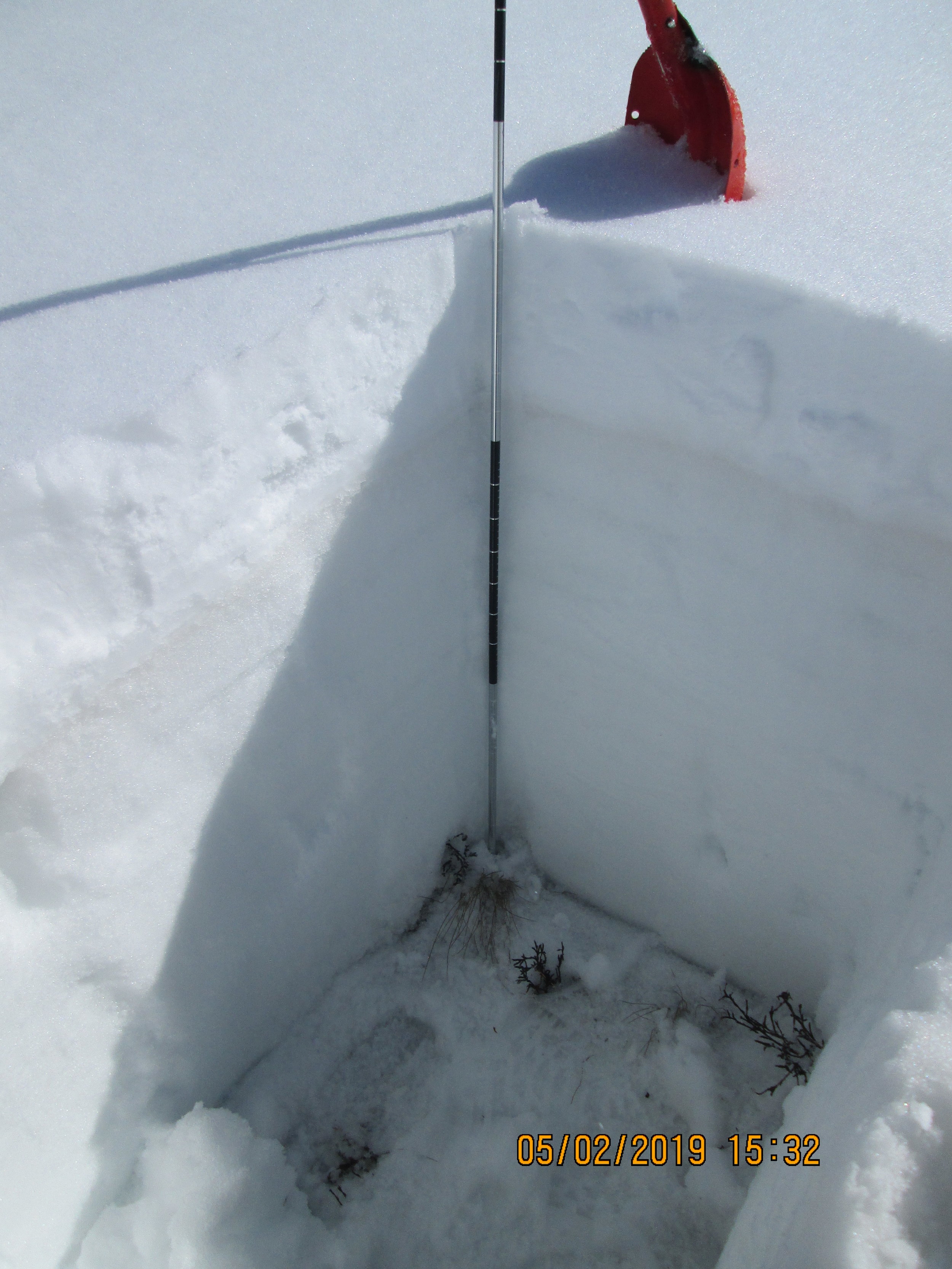
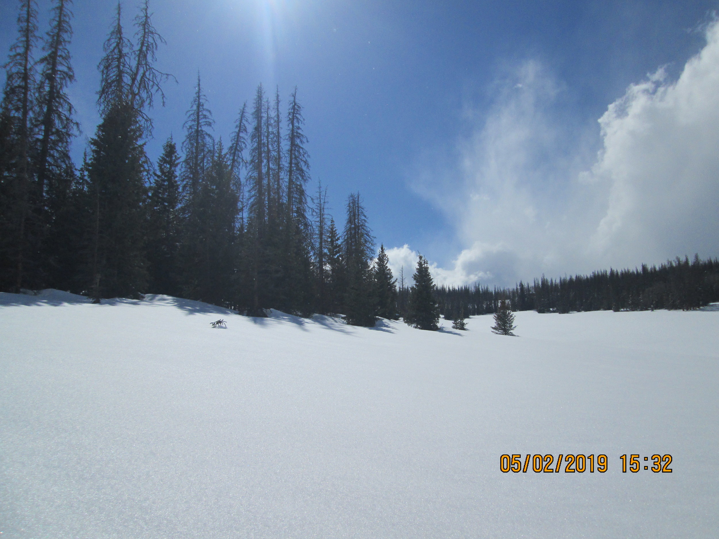
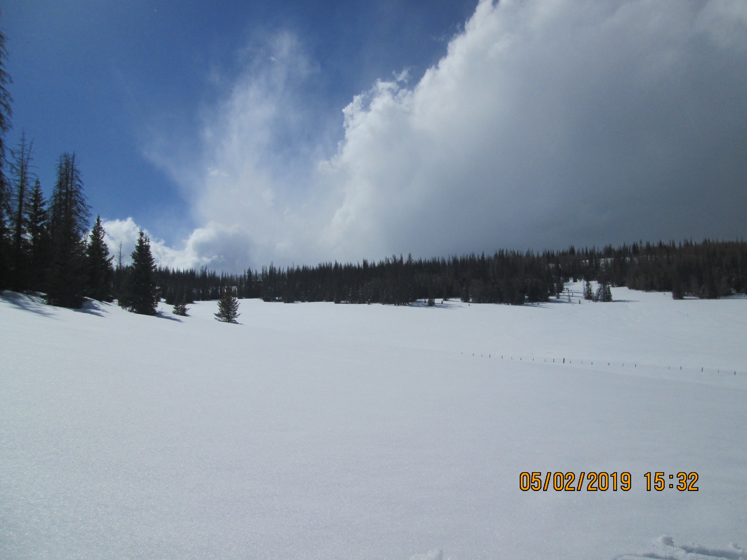
Wolf Creek, may 2

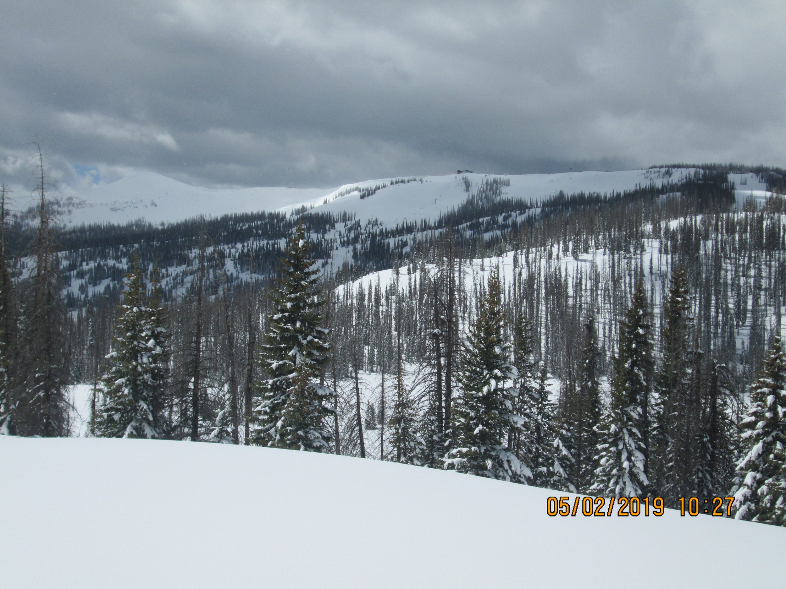
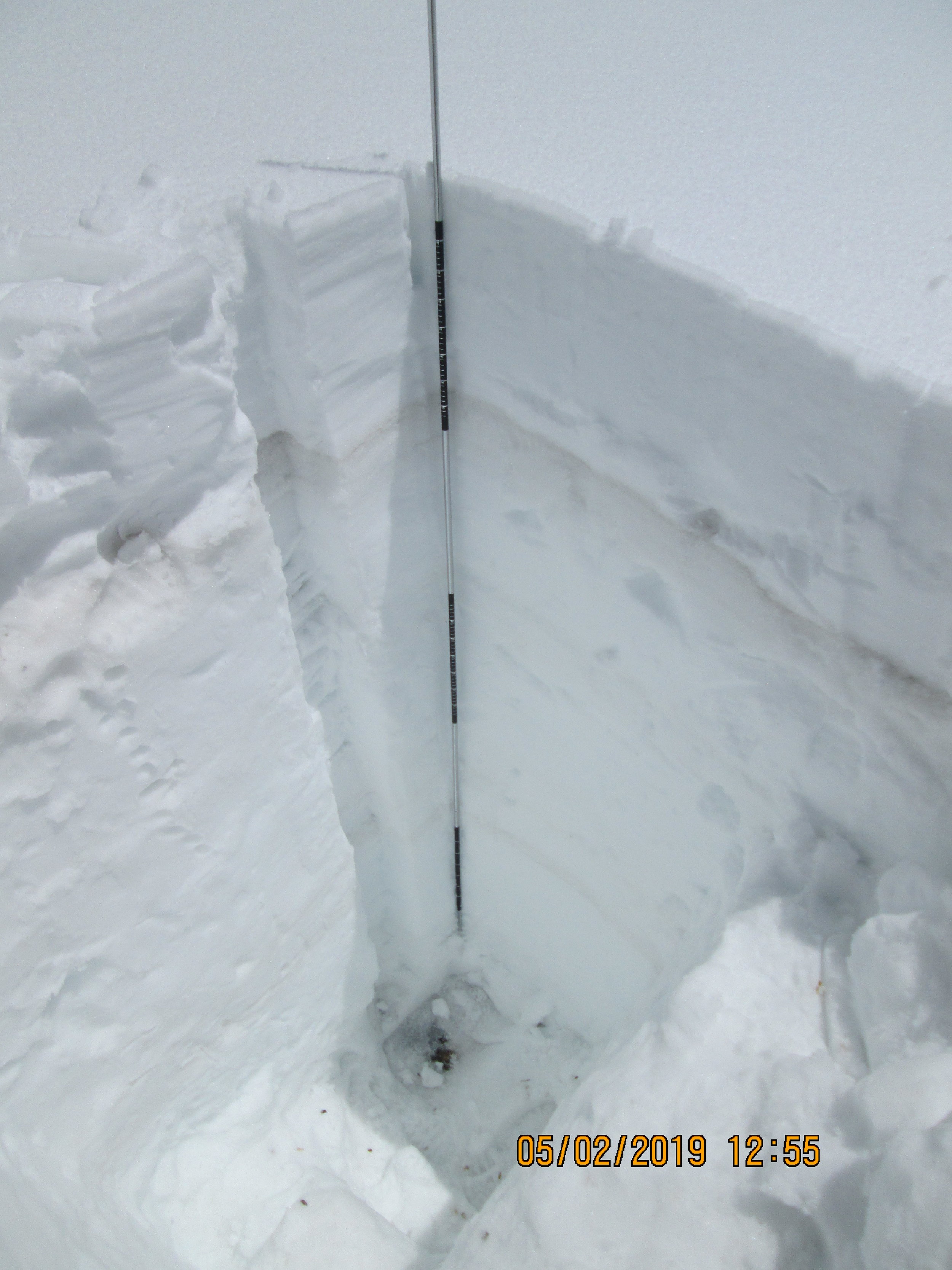
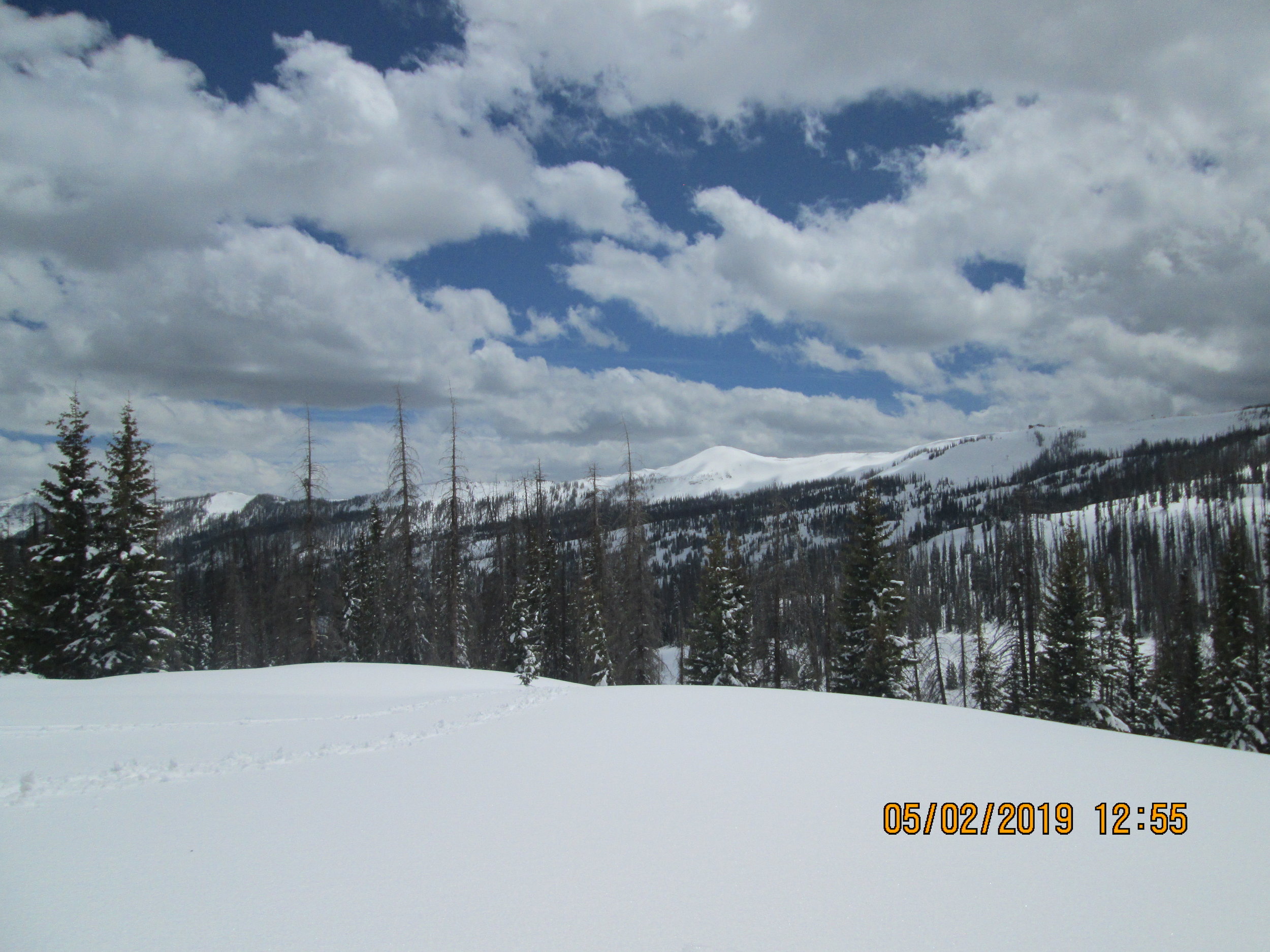


Wolf Creek sample site at Wolf Creek Pass was a bear to dig, I spent 4 hours at this site digging the wet, heavy, dense 7.8’ snow profile with a spade shovel. The severity of the dust layer nearest the surface is on the upper end of moderate. On May 2 it was 16.5” below new snow accumulation (and 3.5” of new water) from the April 30-May 1 storm. Wolf Creek has dust layers not observed at any other CODOS sample site including Senator Beck. There is a dust layer at snow depth 41” (likely D2), at snow depth 35.5”, and at snow depth 28”. So one of the bottom layers is D1 which is not visible at SASP but nonetheless likely present, and the other dust event is unique to the Rio Grande in that environ. The two lowest layers are light/moderate severity and the other is light. As mentioned the snowpack is isothermal and wet. From April 15-21 the Wolf Creek Summit SNOTEL lost nearly 1” SWE/day, so when conditions have permitted snowmelt has been healthy, currently it is 126% of median.
spring creek, may 2


Spring Creek snow profile showed 3.4’ snow depth equating to 15.3” of water. Typically Spring Creek shows the same dust events but of less severity as locations to the south. This is essentially the case this week. Having a much shallower snowpack dust layers were merged 9” below the recent storm accumulation and is of light/moderate severity. Note that judging severity depends much on weather and light conditions as well as melt water leaching dust down a few inches making it more diffuse and difficult to see. So there are occasions when we reclassify a site as to severity.
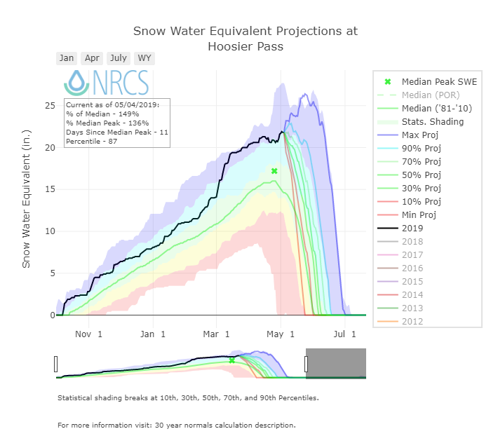
Hoosier Pass, may 1
Hoosier Pass still has a lot snow. Our snow profile was 6.2’ and contained 27.7” of water. Nearby Hossier SNOTEL was reporting 21.7” SWE. On May 1 the D3 dust layer was 7.9” below new snow accumulation. SNOTEL data indicate snow depth has decreased 2-3” since then making the dust ~5” under the surface currently. Dust is very obvious in the old snow surface but more leaching activity made it appear less pronounced, nonetheless it is still very evident and will pose a significant reduction in albedo when emerged.
Loveland Pass, April 30
Overall a moderately dusty old surface at Loveland Pass covered with 10.2” of new snow. The dust was more evident and severe here than other northern sites. Very obvious in pit face as well as cornice faces. This could be due to the higher elevation of this site where less melt has occurred in the dust layer, and hence less leaching which can make dust less obvious to the naked eye. The snow profile was 5.3’ deep containing 23.7” water. Grizzly SNOTEL reported 22.7” SWE that day. Snow depth at Grizzly has since dropped 6”, indicating the dust layer is currently about 4” beneath the surface.
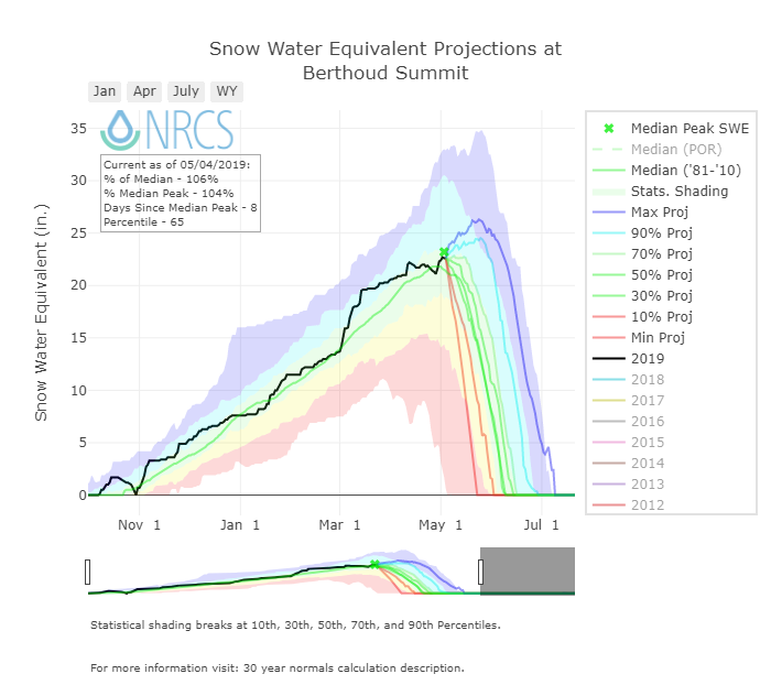
Berthoud pass, april 30
On April 30 a deep snowpack at Berthoud Pass with light/moderate dusty snow layer was capped with 8.3” of clean new snow. Dusty snow here was more leeched and less obvious but will still effect albedo when emerged. The snow was 5.6’ deep with 26.9” water while adjacent Berthoud SNOTEL reported 22.3” of water. Since April 29 the snow depth has been reduced 6” indicating the dust is just a few inches beneath the surface at that sample location.
Willow Creek, April 30

Dust is obvious at Willow Creek. It was 5.5” beneath a clean snow layer on April 30. Our snow profile was 2.3’ deep with 9.6” of SWE. Nearby Willow Creek SNOTEL reported 17.6” SWE. Since April 30 the snow depth has been reduced only about 1”, indicating dust is still beneath 4” new accumulation.
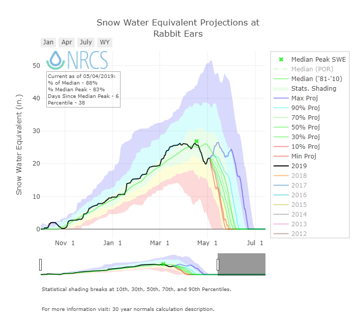
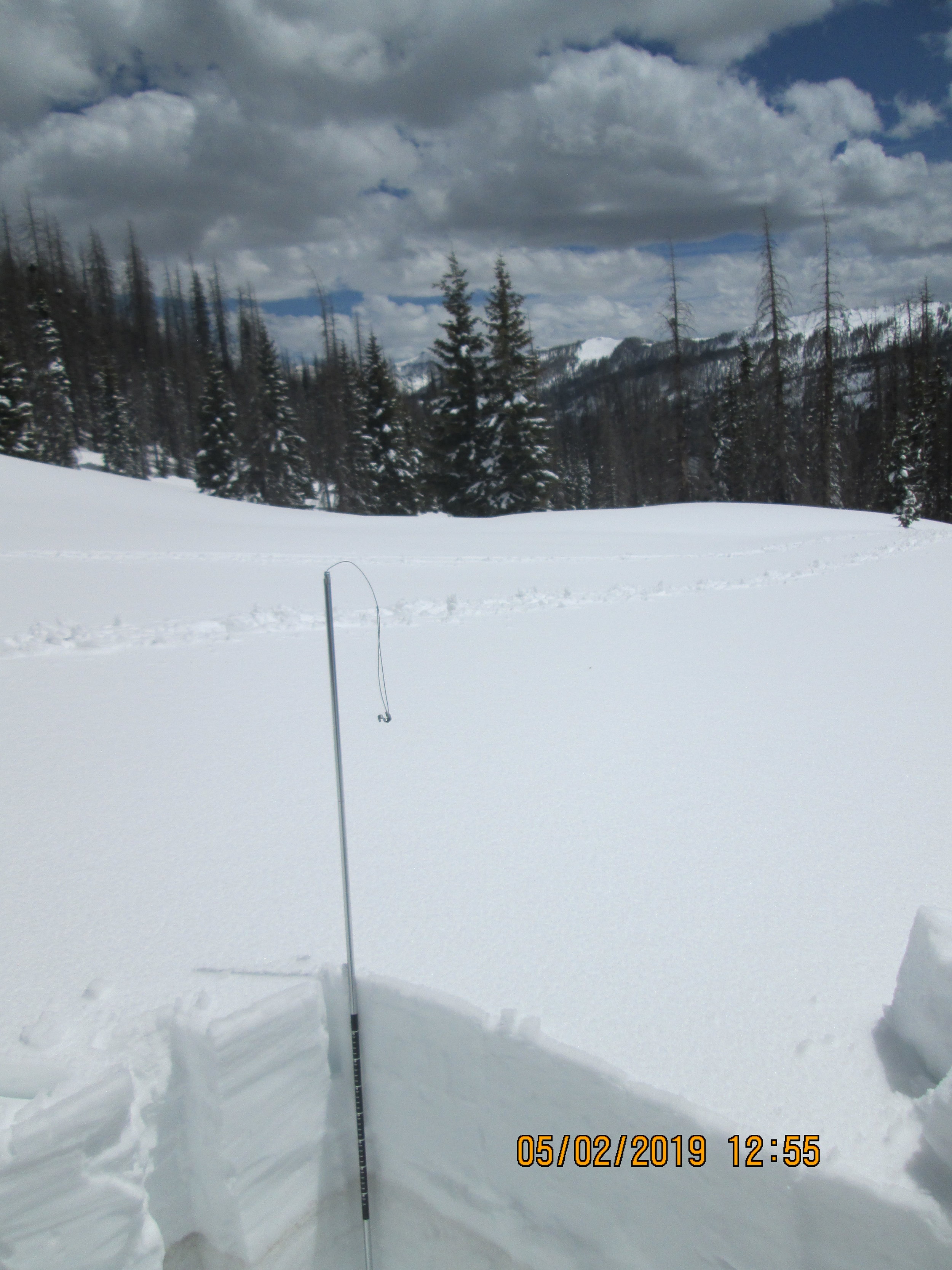
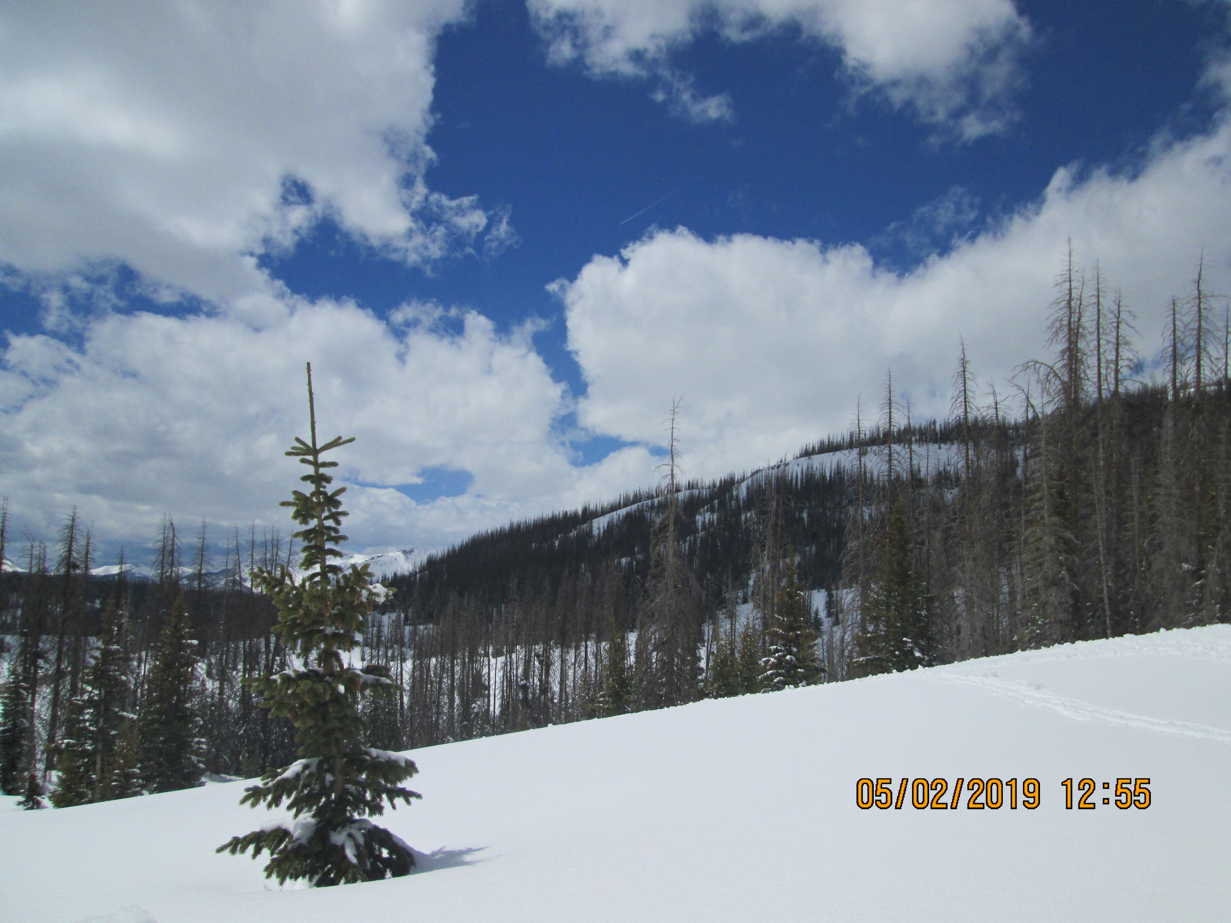
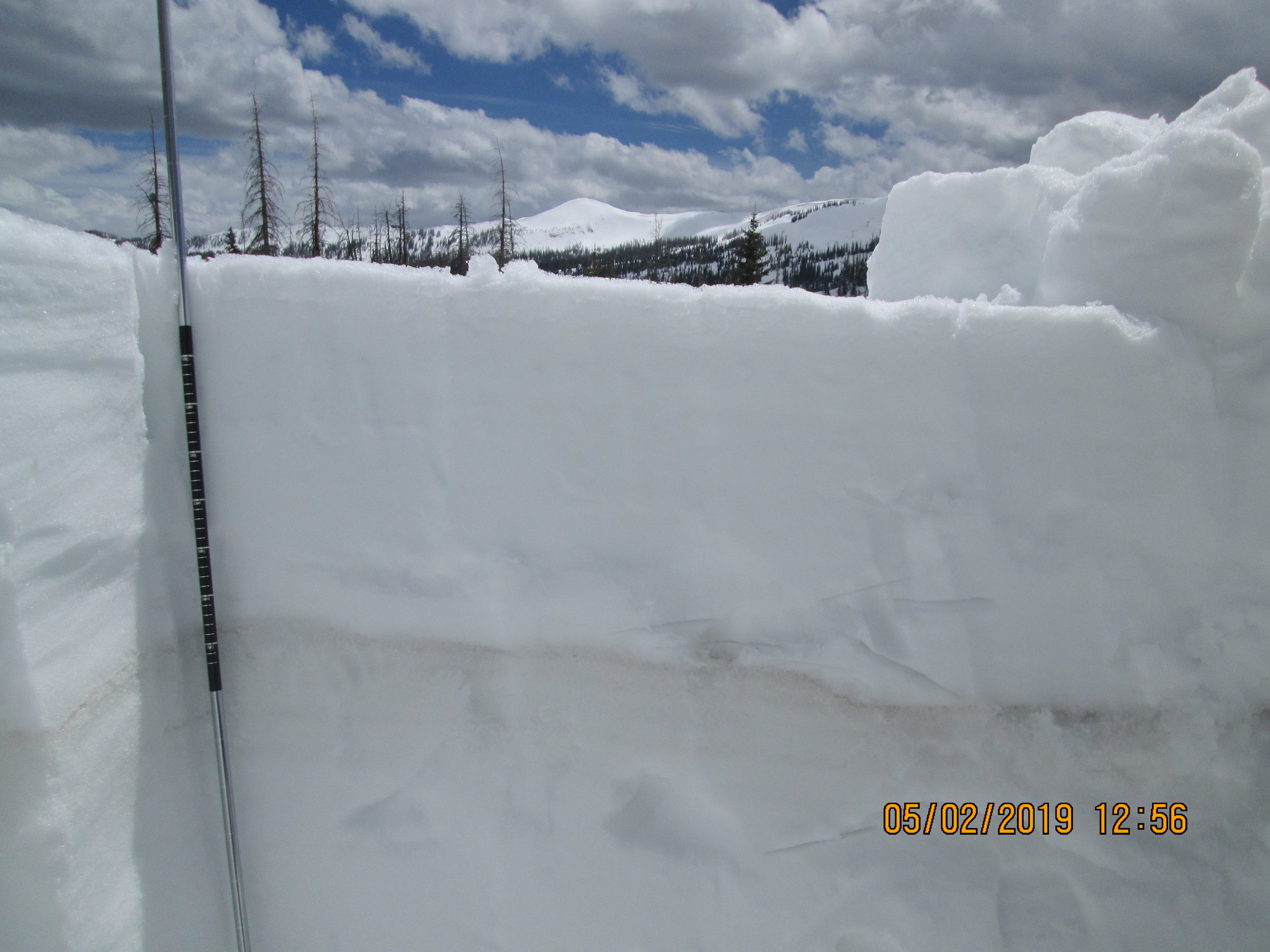
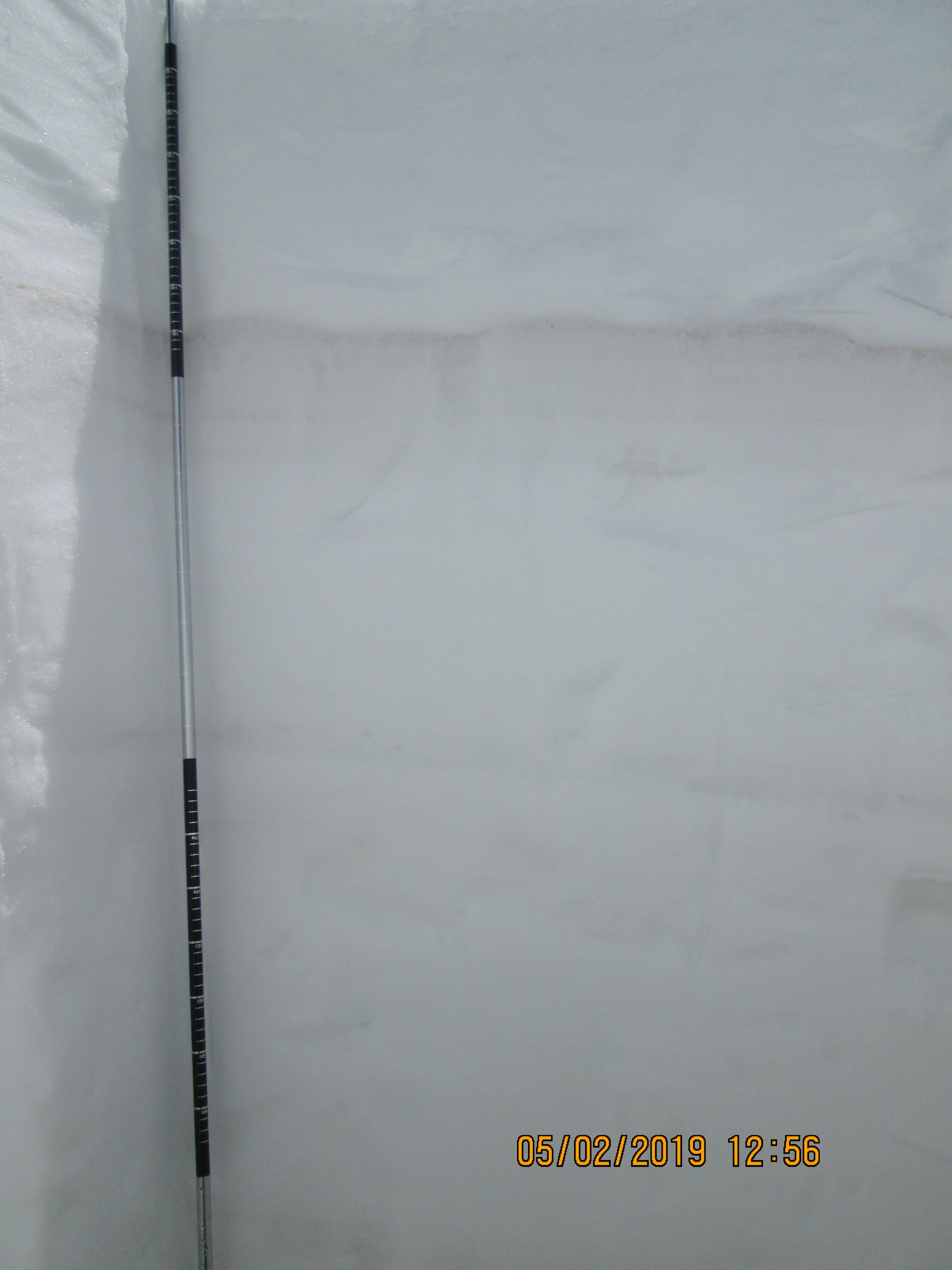
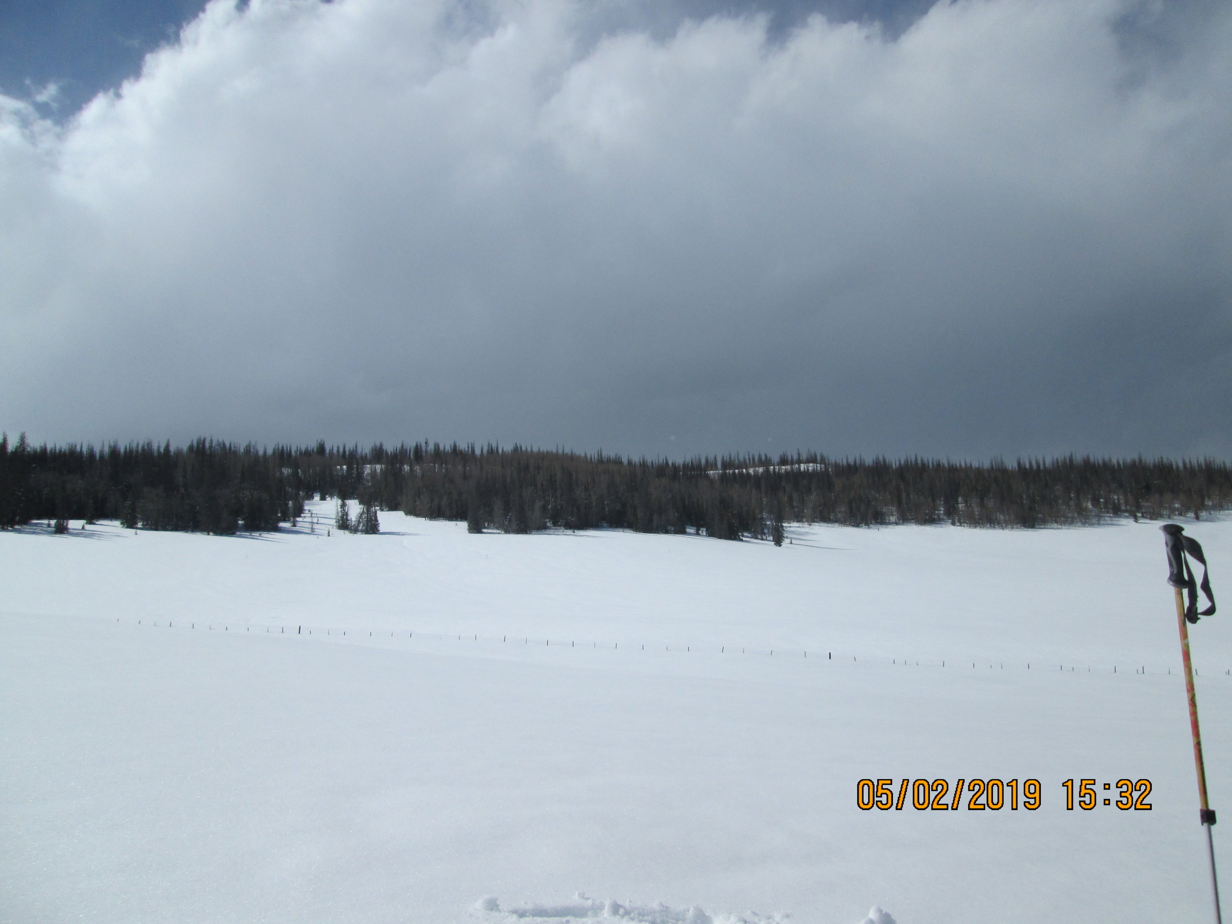
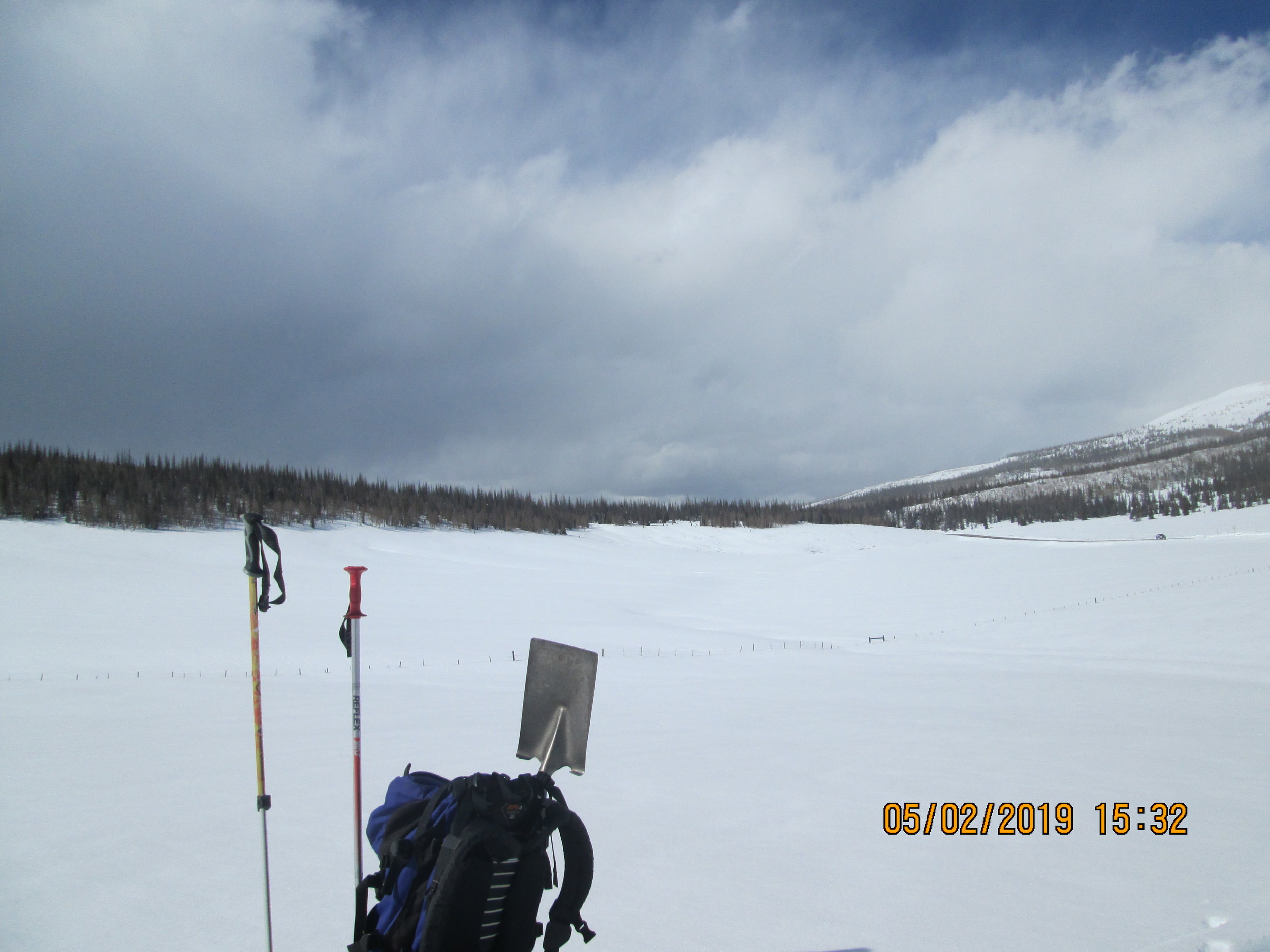
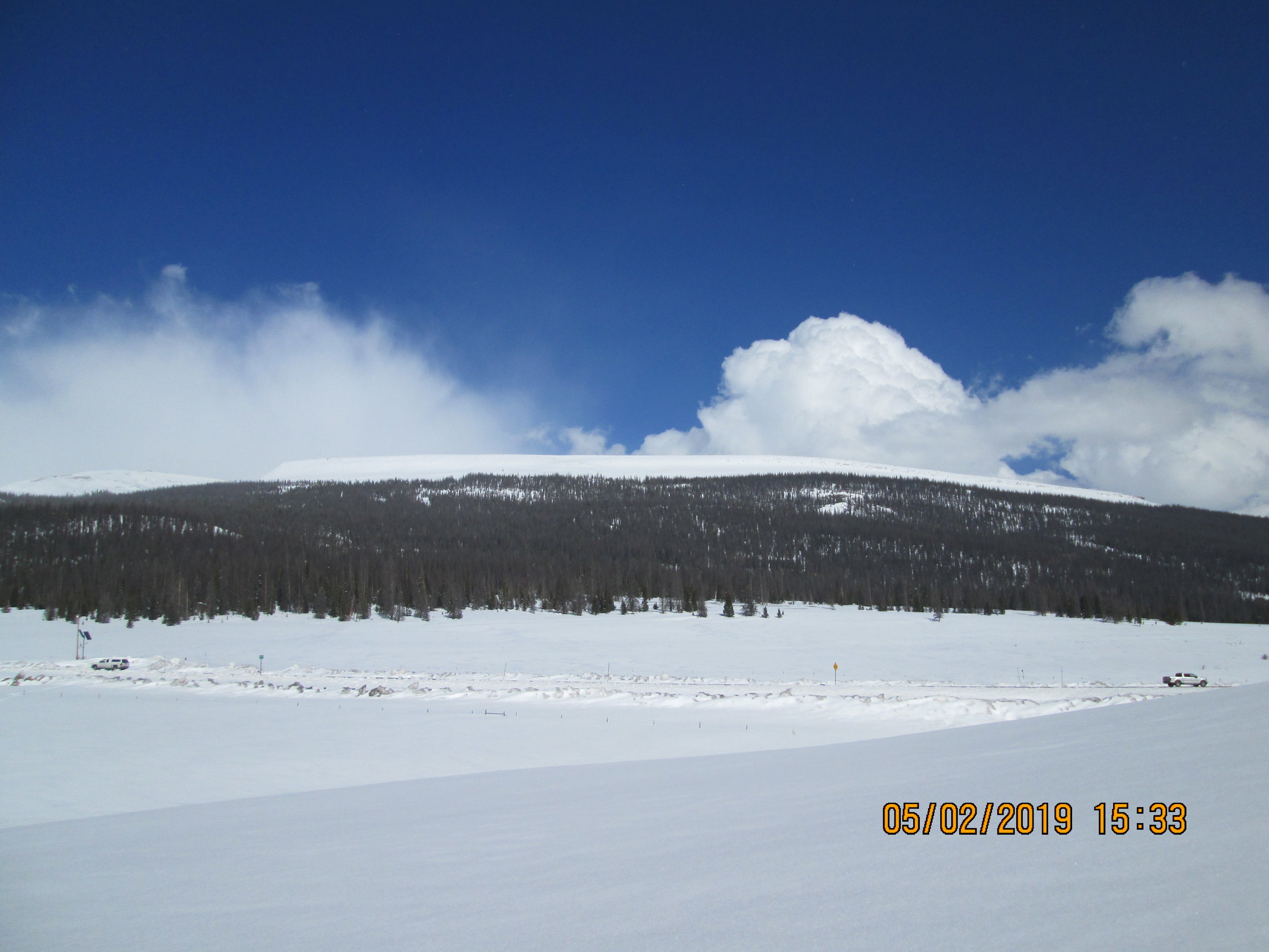
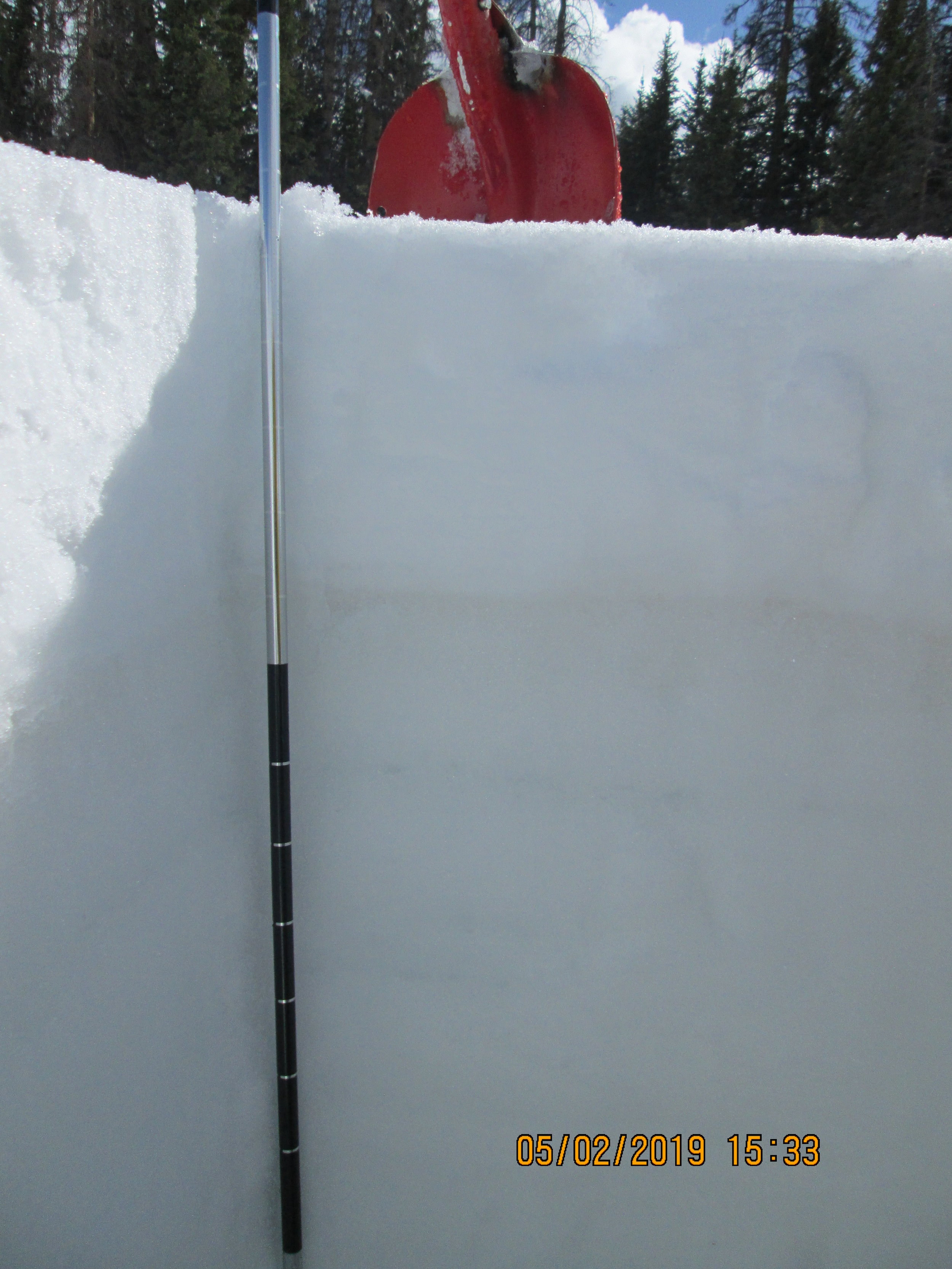
Rabbit ears, April 30
On April 30, 7.9” of new snow covered a moderately dusty layer. Dust has leeched and coalesced in the poly layer. Dust will have effect on albedo. CSAS snow profile was 5.9’ deep and contained 27.7” SWE. Rabbit Ears Pass SNOTEL meanwhile was reporting 20.3” SWE. Currently the D3 dust is a couple inches beneath the surface.
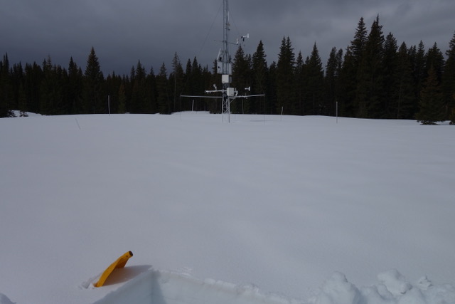
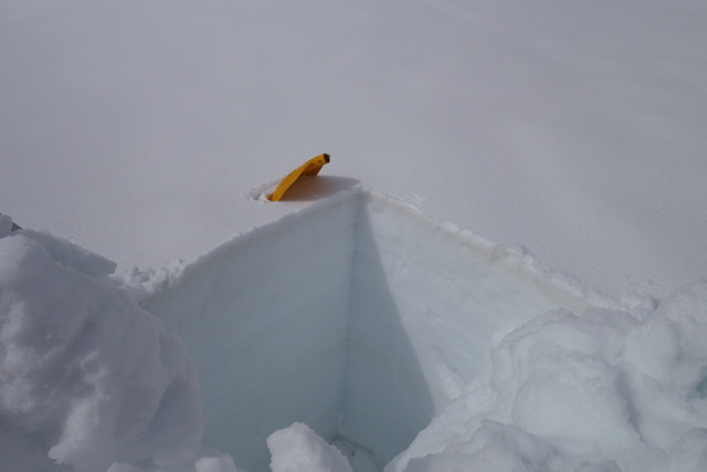
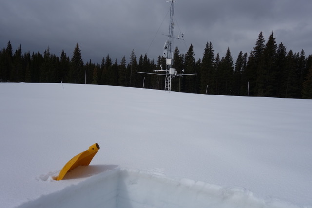
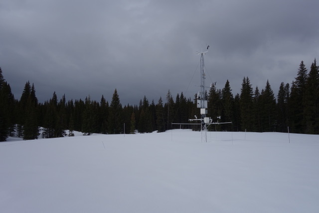
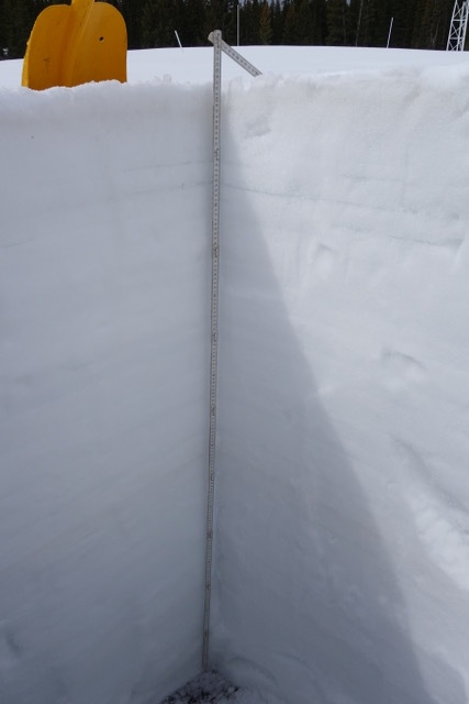
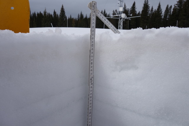
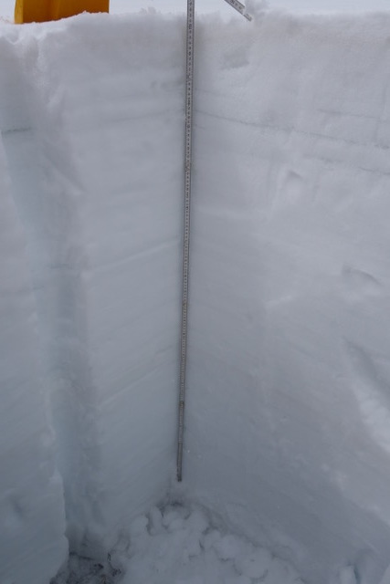
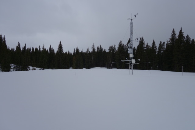
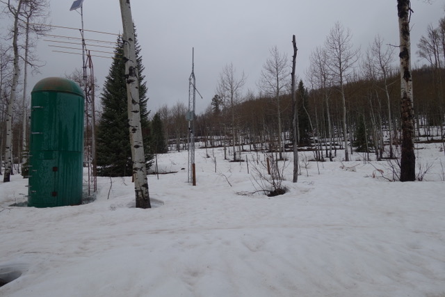
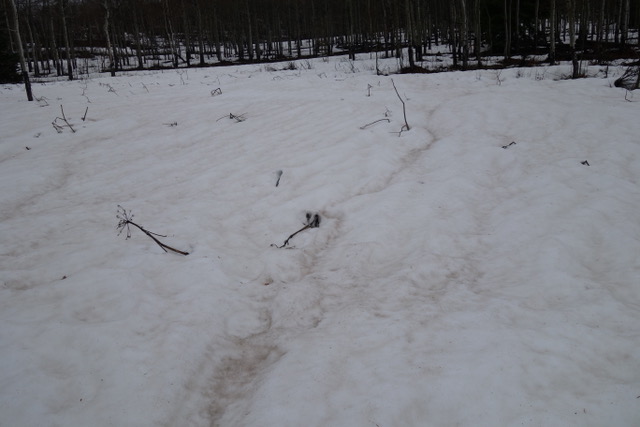
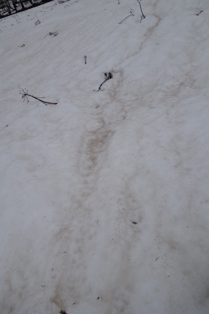
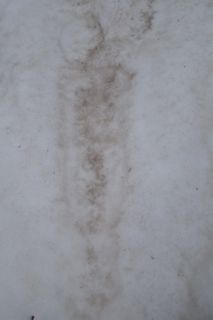
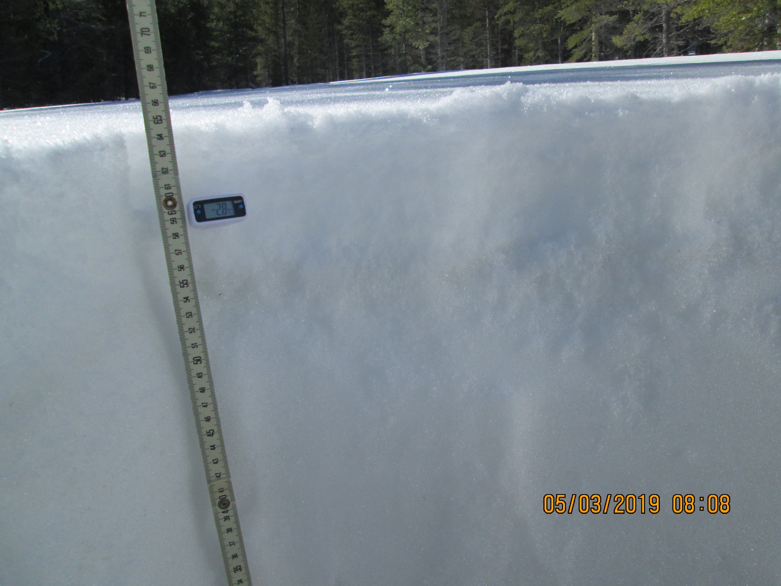
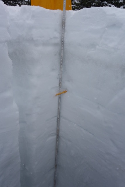
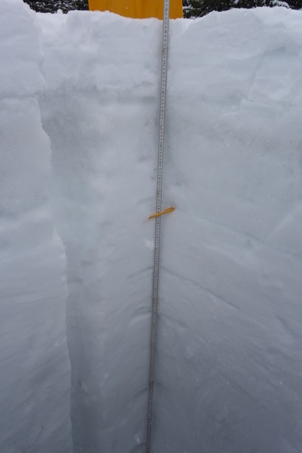
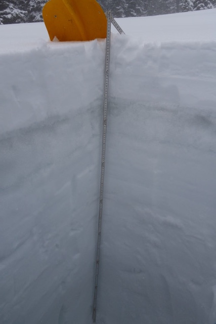
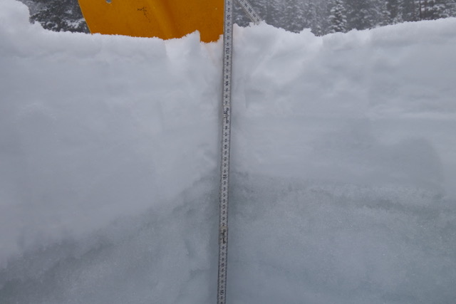
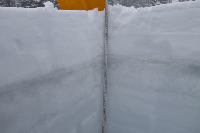
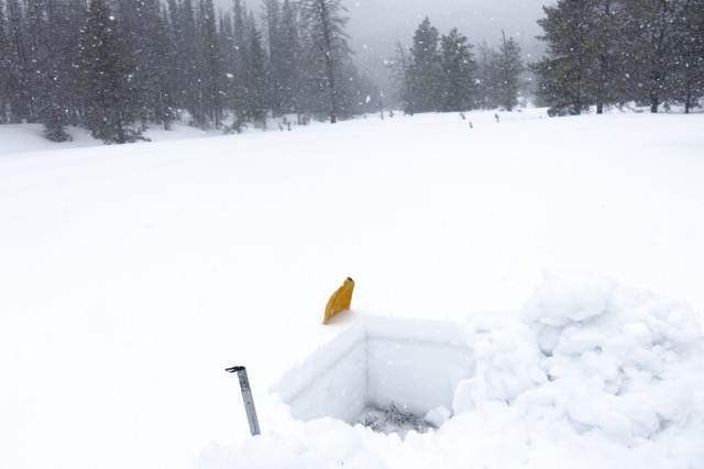
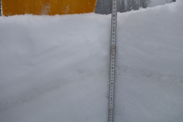
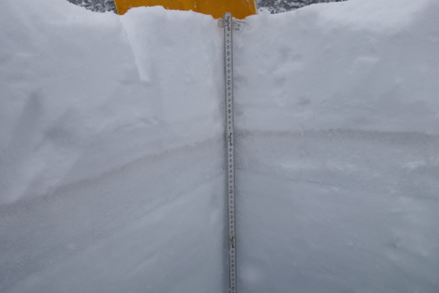
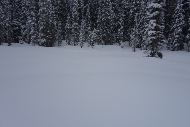
Swamp angel study plot, may 4
Dust is currently 6” beneath the clean snow surface. We will have an update using SASP data in the near future.