CODOS Update March 19, 2026: No Relief in Sight
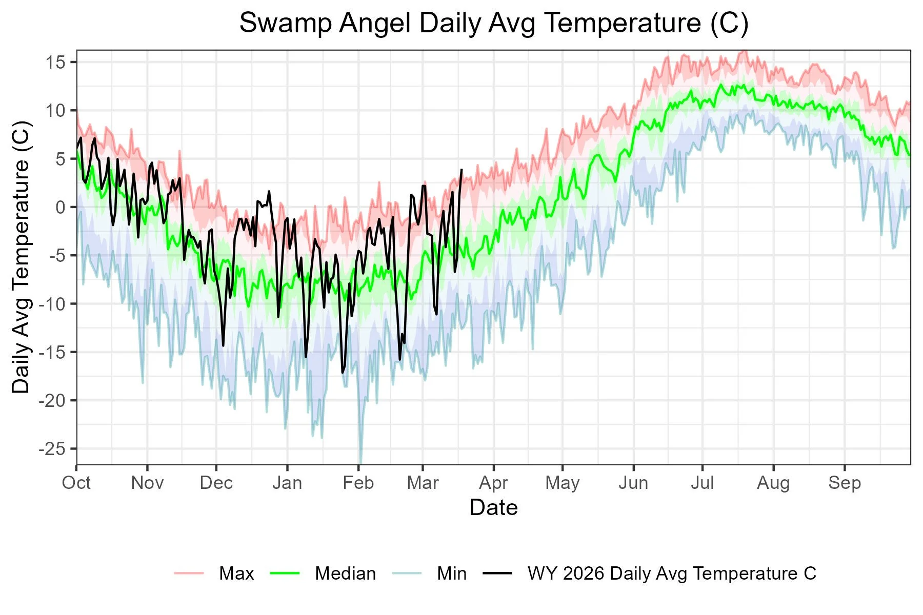
The sun and heat is relentless. There was a period where moderate winds were helping keep things cooler and now even that has diminished. For the last couple evenings air temperatures at Senator Beck station have held above freezing, and at Swamp Angel only a degree or two below freezing. The start of this dry/hot spring is being layered on a dry/hot winter. The result is making this another unique year. Our Dust Enhanced Runoff Classification (DERC) system is our approach to understanding how snowmelt and streamflows will unfold. It is three-tiered: first, how much snow is there by March 1; second, what is the dust-on-snow severity (which evolves over the spring); and finally, what is the spring weather doing (wet, dry, or average)? They are all important, but spring can be a major factor. A wet spring, you have added precipitation, but also cooling from the storm(s) and high albedo from the new storm accumulation. A dry spring, less additional precipitation, but also sunny/warmer weather to warm/melt the snowpack and a snow surface that likely has a low albedo (absorbing more solar radiation) from either dust and/or just being old snow (more rounded grains).
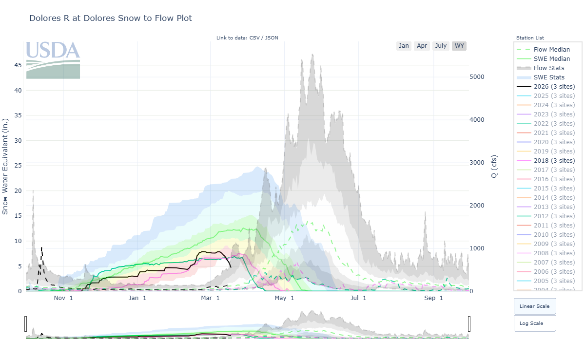
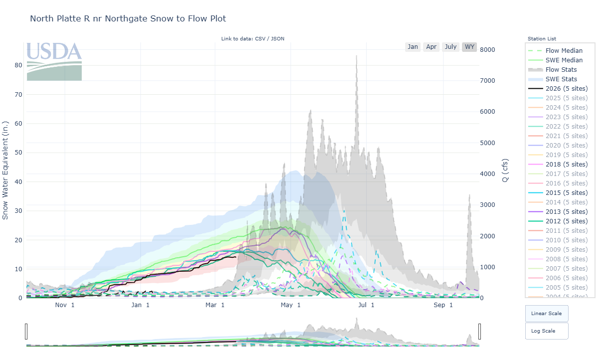
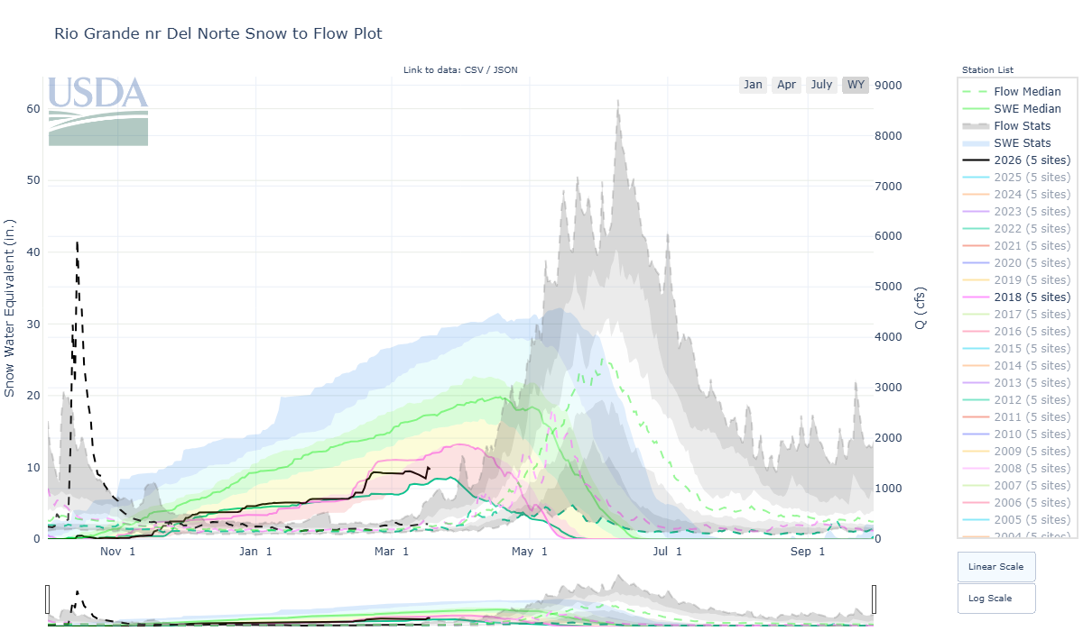
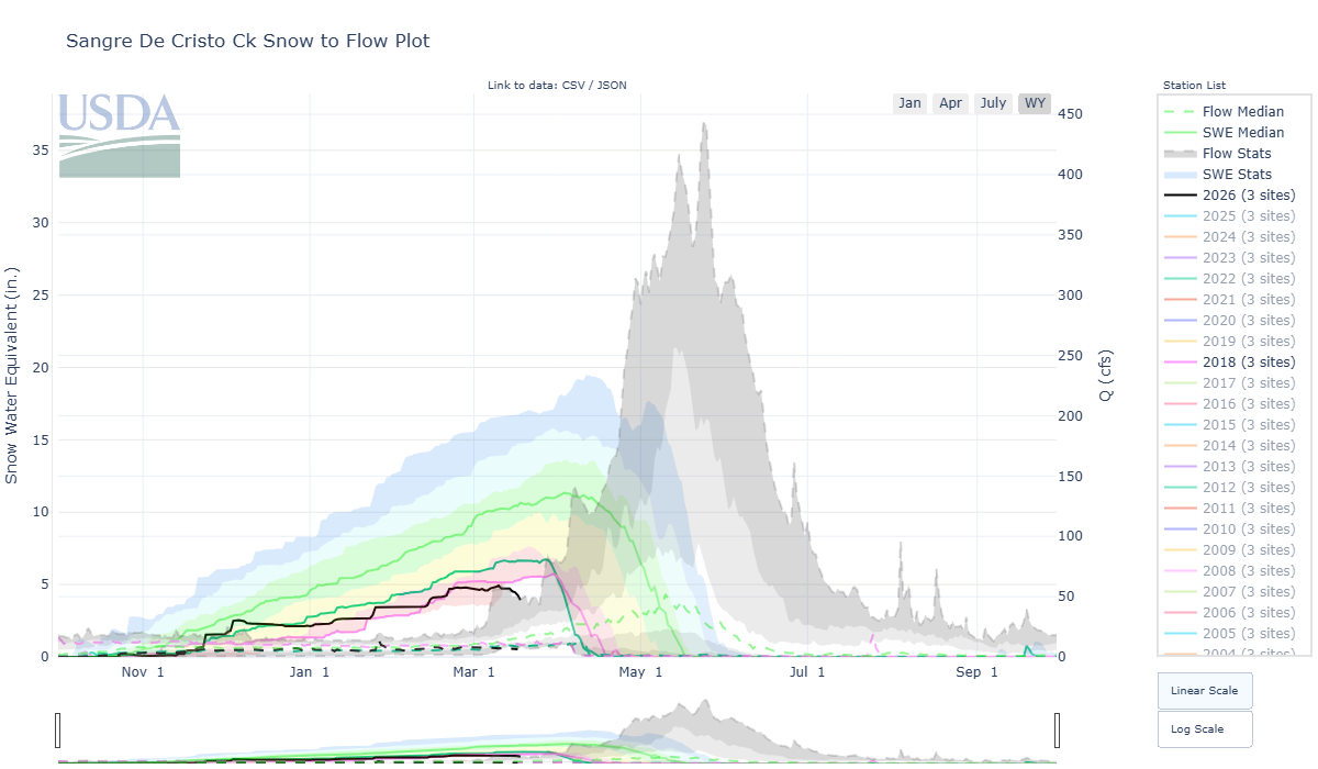
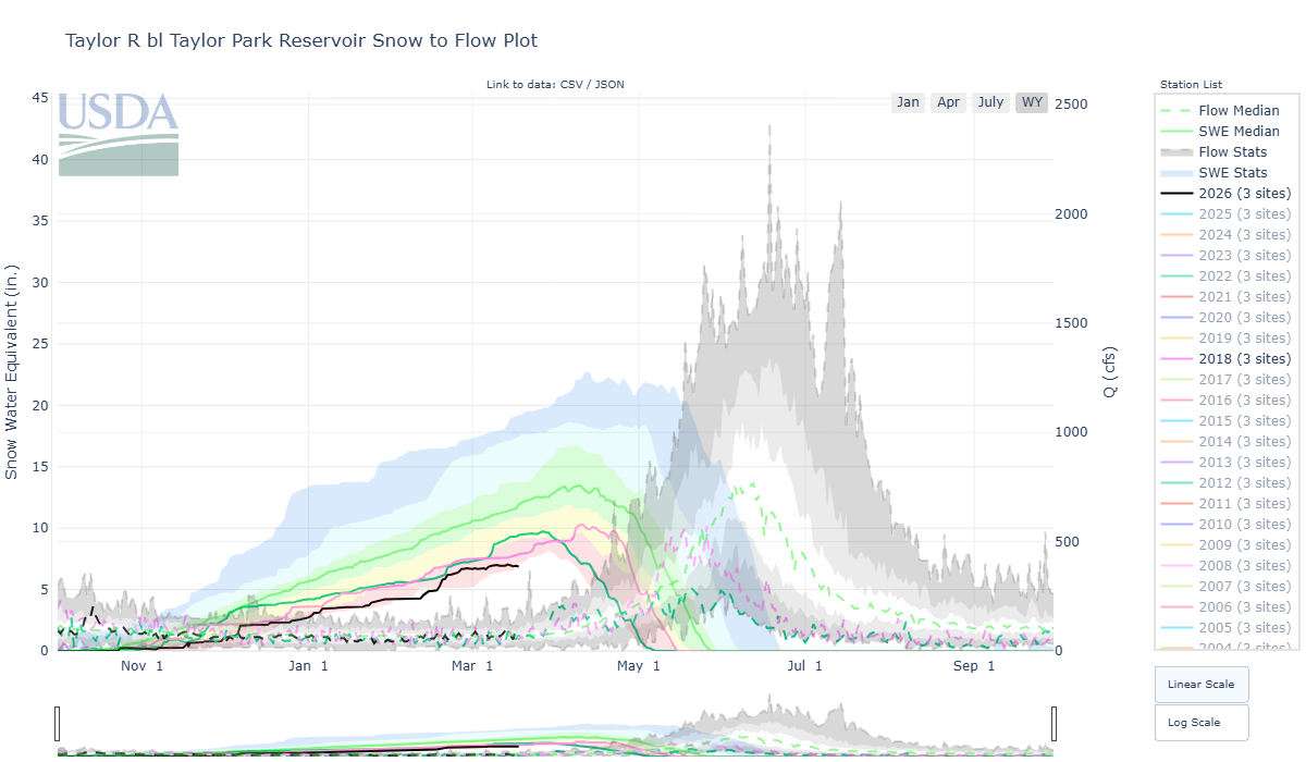
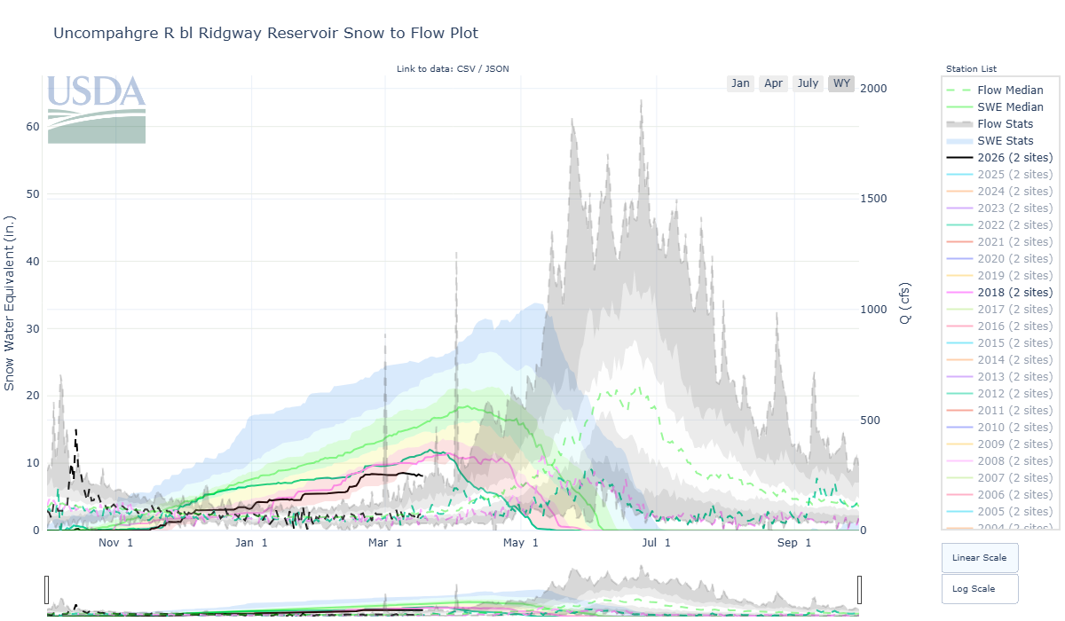
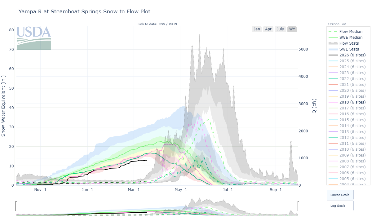
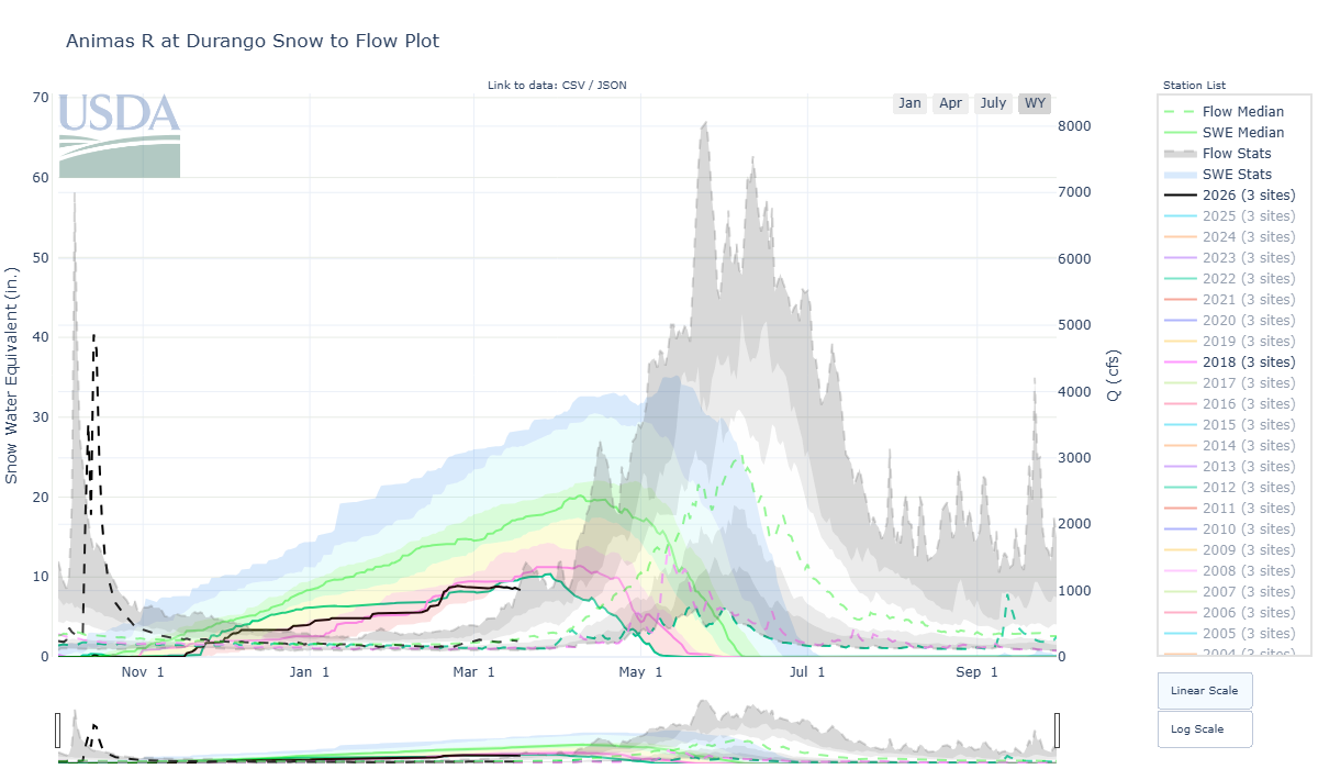
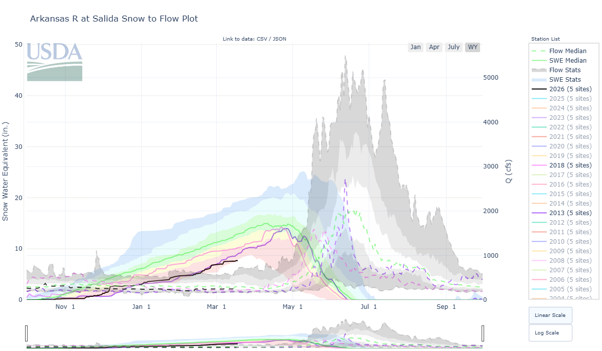
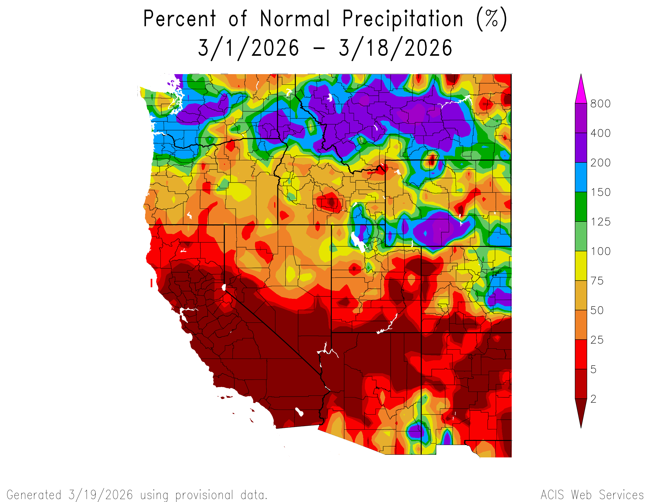
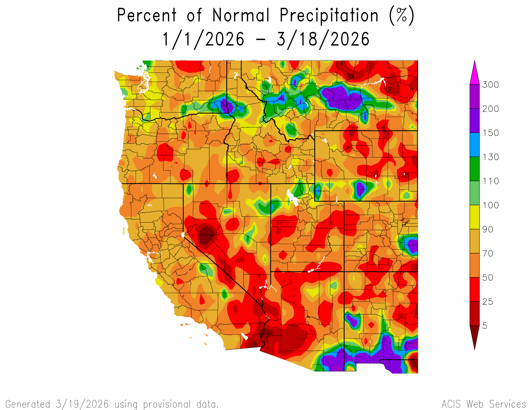
Snowmelt season will be highly compressed. In Southern Colorado we are dipping below what we saw in WY2018 and WY2002 for SWE. For the Northern basins WY2007, WY2012, WY2021, and WY2025 and a few others come into play for analog years. What makes this year more severe is the hotter temperatures and very low snow covered area. And also what makes this year one for the record books is the lack of dust (although that can change). Of course with the record low snowpack, we have nothing quite comparable to this year in our DERC record keeping. Below are links to the DERC classifications by year for Colorado watersheds.
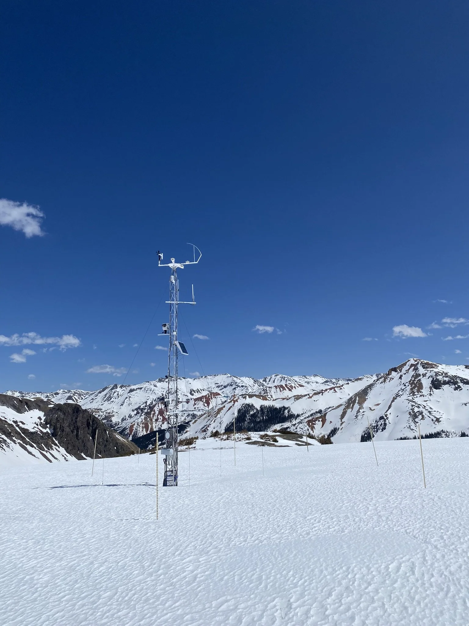
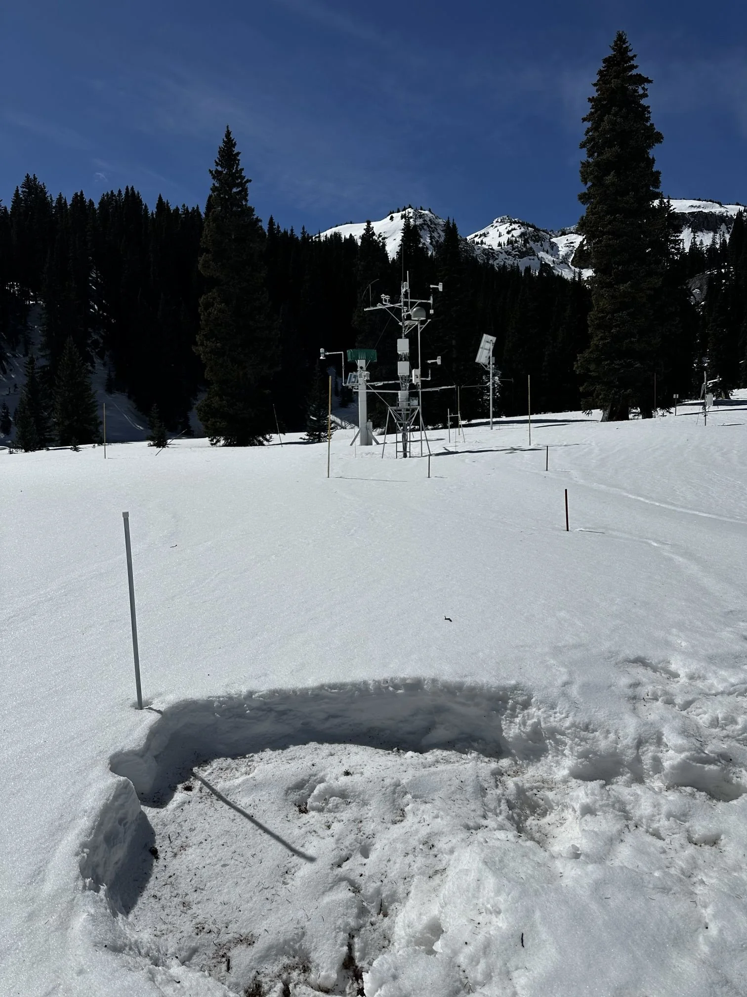
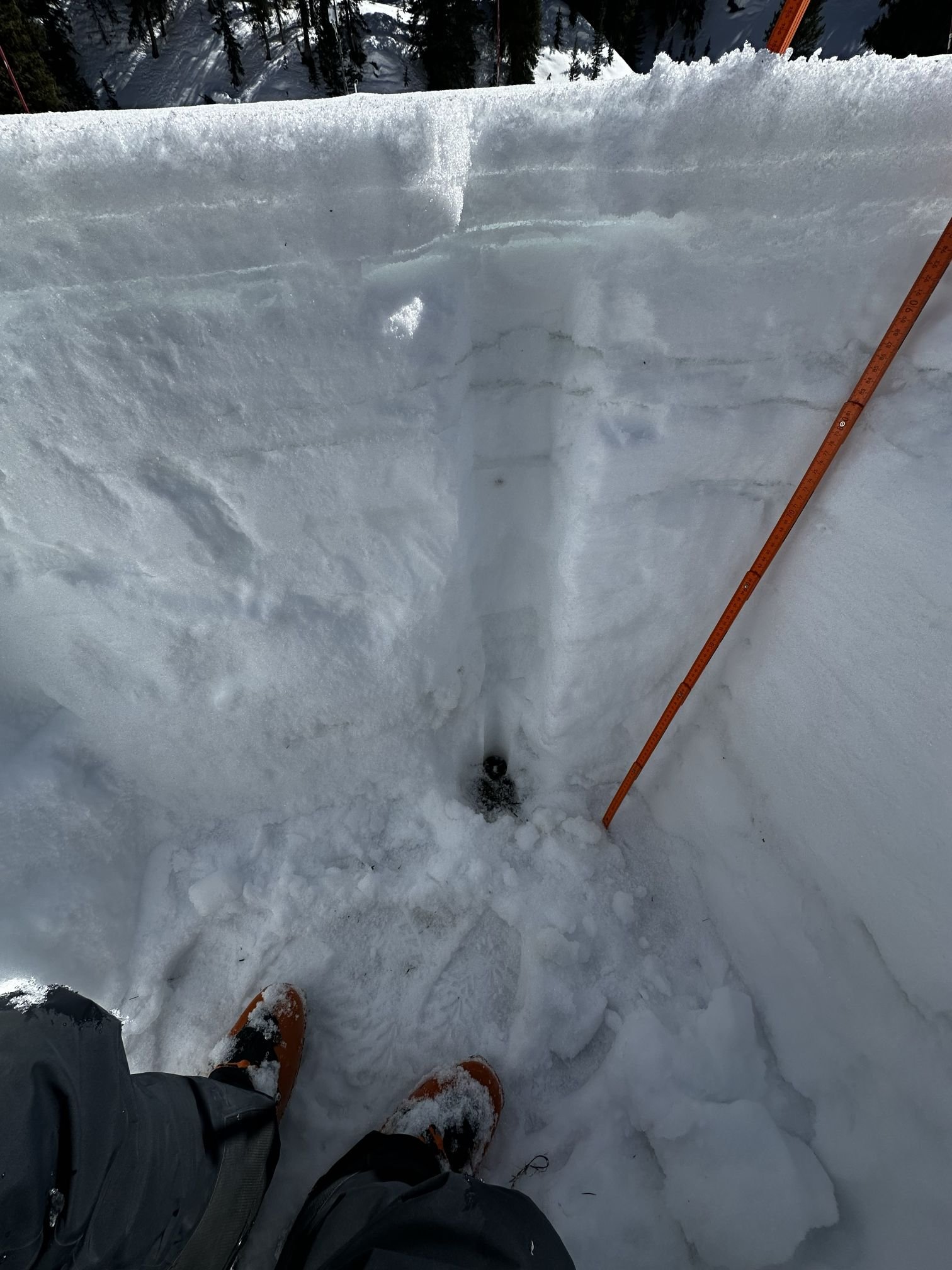
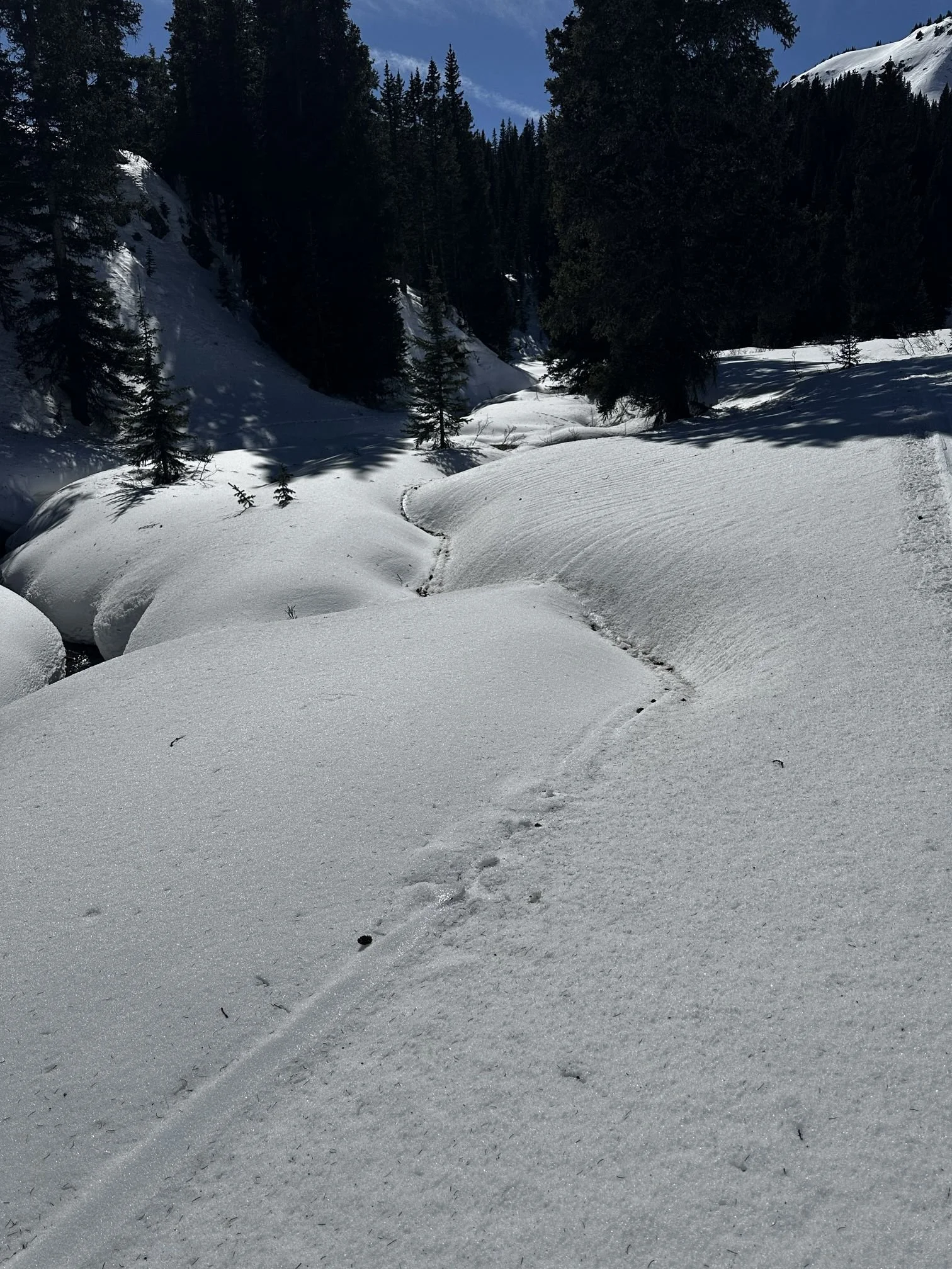
Below: Swamp Angel on March 15, 2026. The surface had a bit of forest debris from the winds over the last number of days. The pit showed ice layers from melt/freeze activity, the snowpack is isothermal. Measured SWE was 13.4”, our adjacent snow scale showed 12.1”, while red Mt SNOTEL was 9.9”. Depth was only 1 meter (3.3’). A lot of bare ground or thin snowpack across the landscape. Field forms are posted on the home page. The snowpack is showing undulations because of densifying and melting around the Swamp Angel area. Melt rills are plentiful.


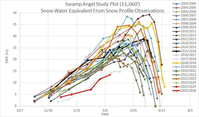
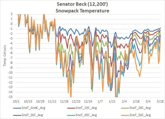
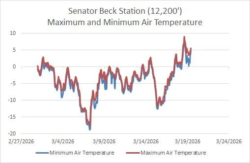
Below: A few plots from Swamp Angel and Senator Beck. The SWE plot for Swamp Angel is a blur of lines and would be nearly impossible to see the line for WY2026 if we were anywhere near to having a normal year. As it is, WY2026 and WY2018 are towards the bottom of the plot all be themselves. Swamp Angel is isothermal and Senator Beck is about 0.5 degree Celsius from the same. Over the last couple evenings Senator Beck station stayed above freezing, so did Putney, and Swamp Angel was about a degree away from the same.

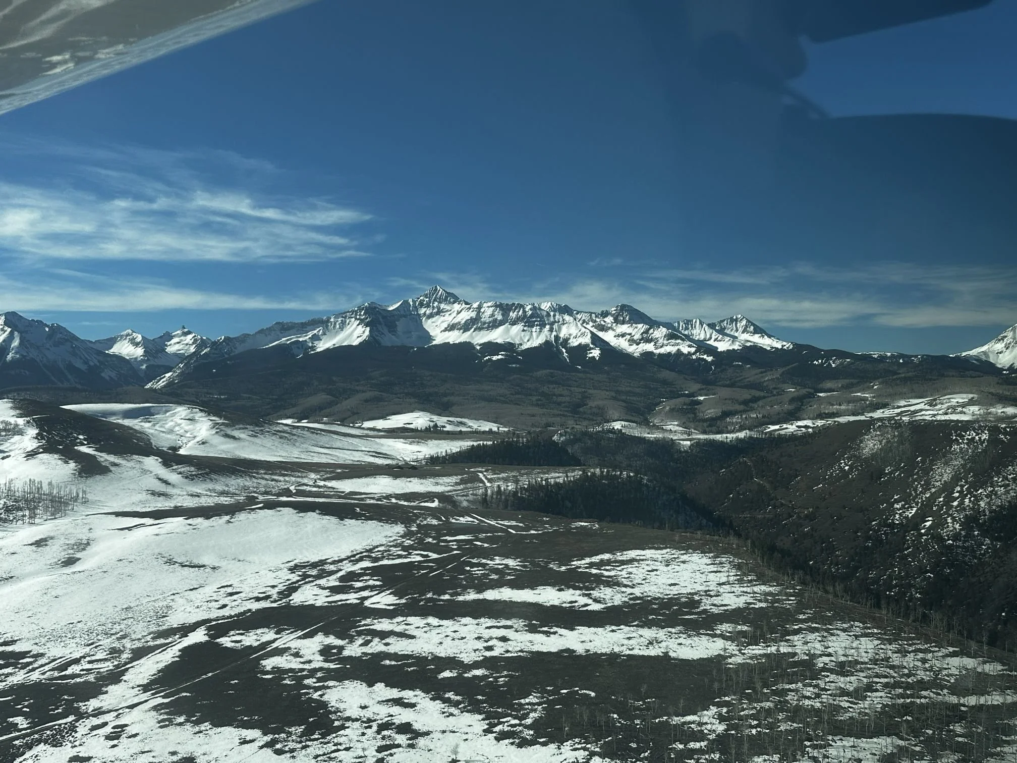
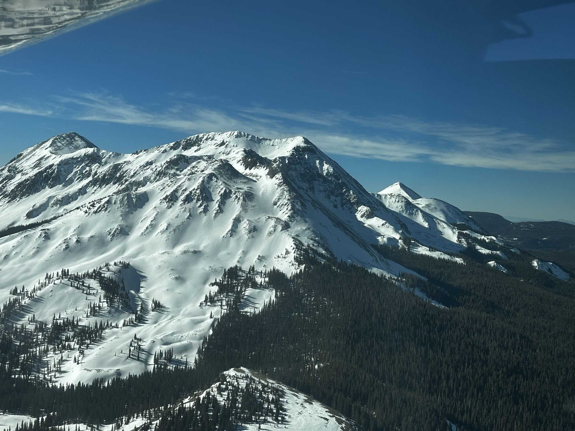
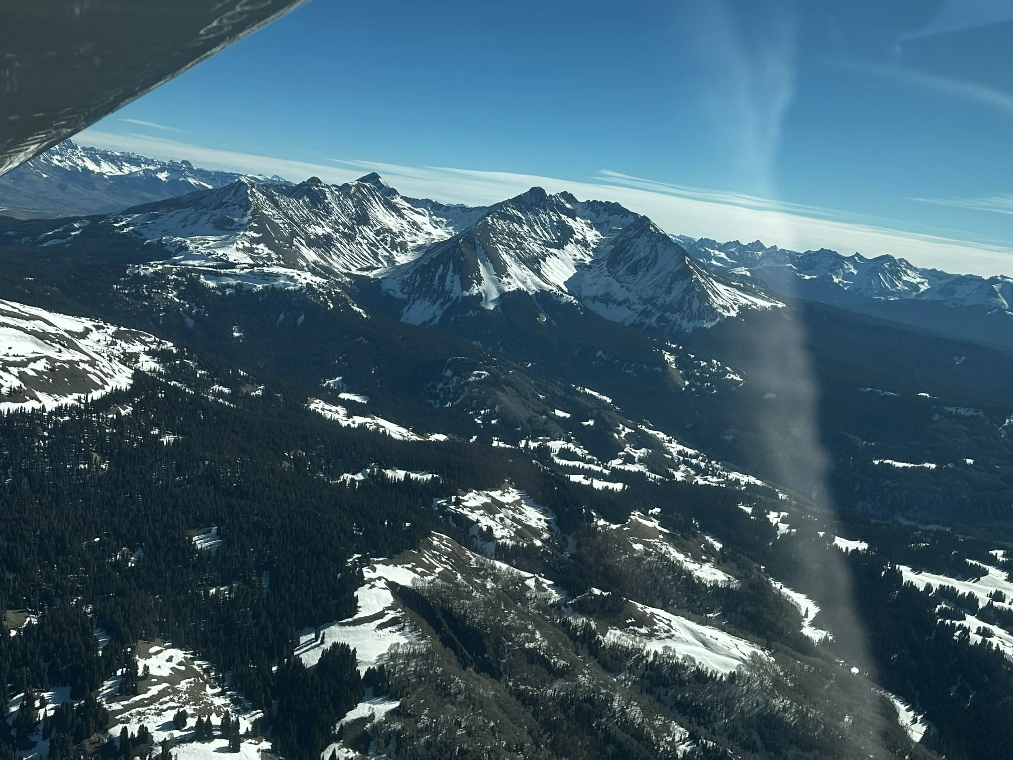
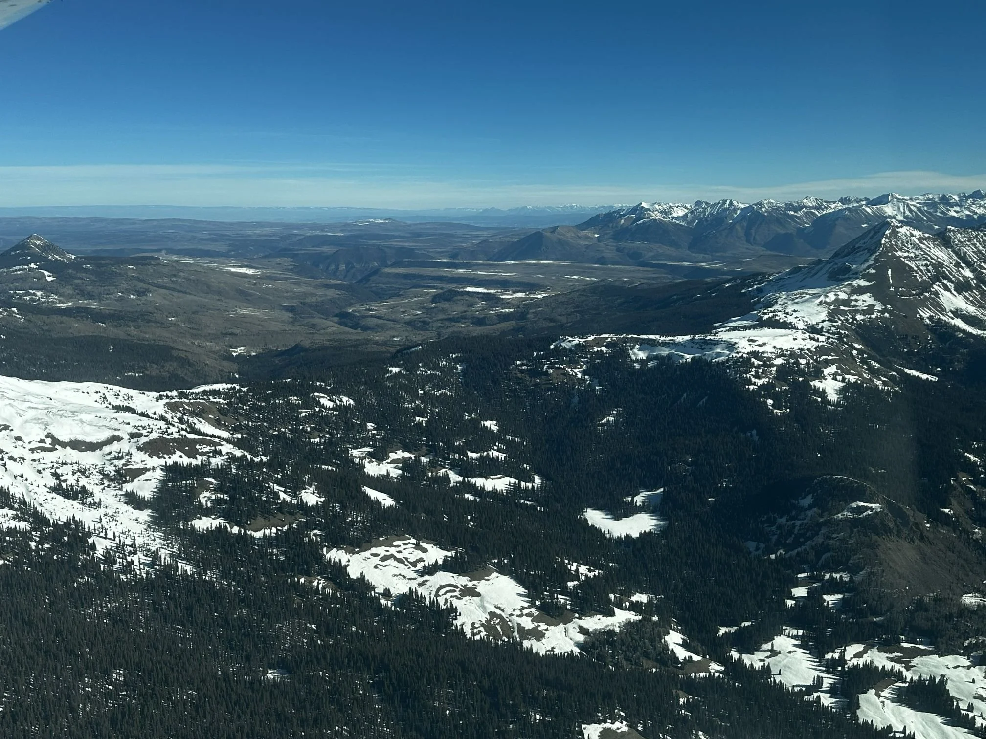
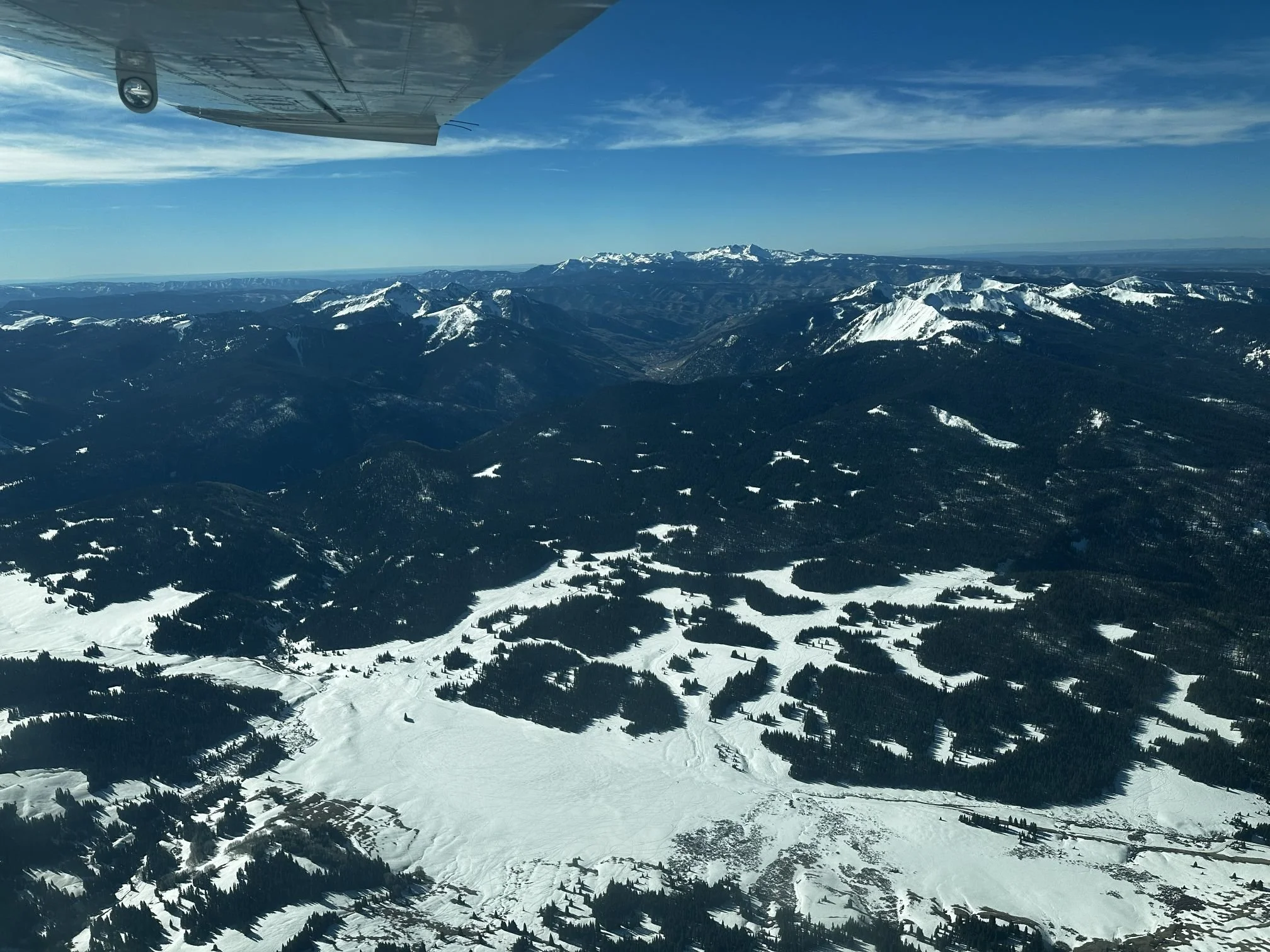
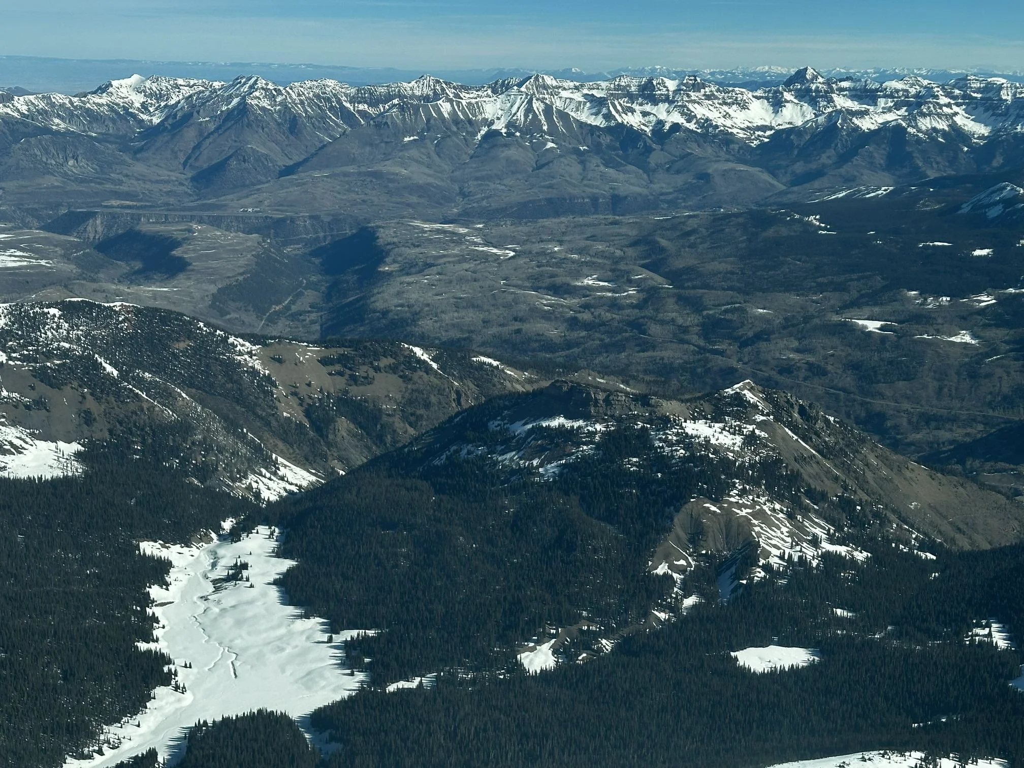
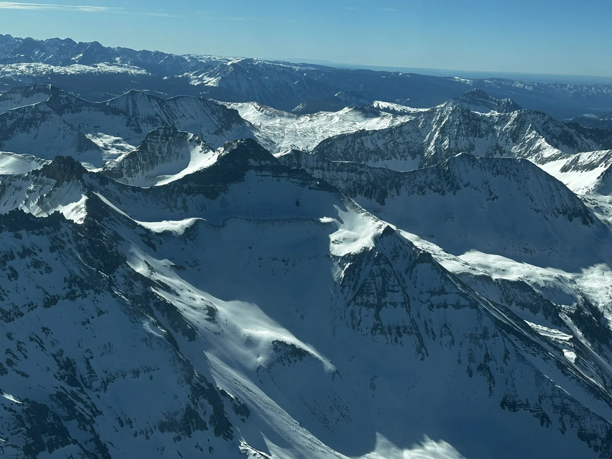
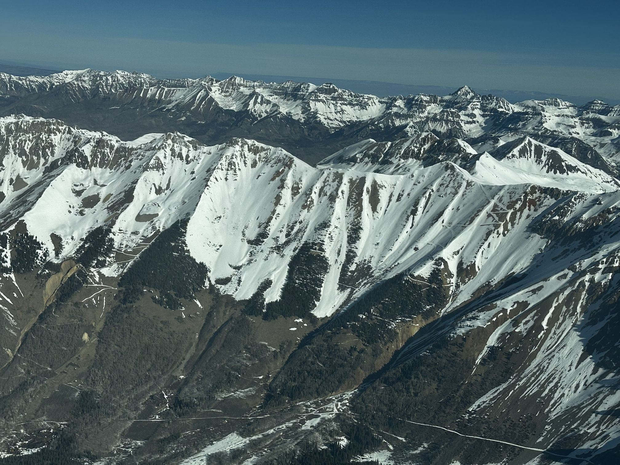
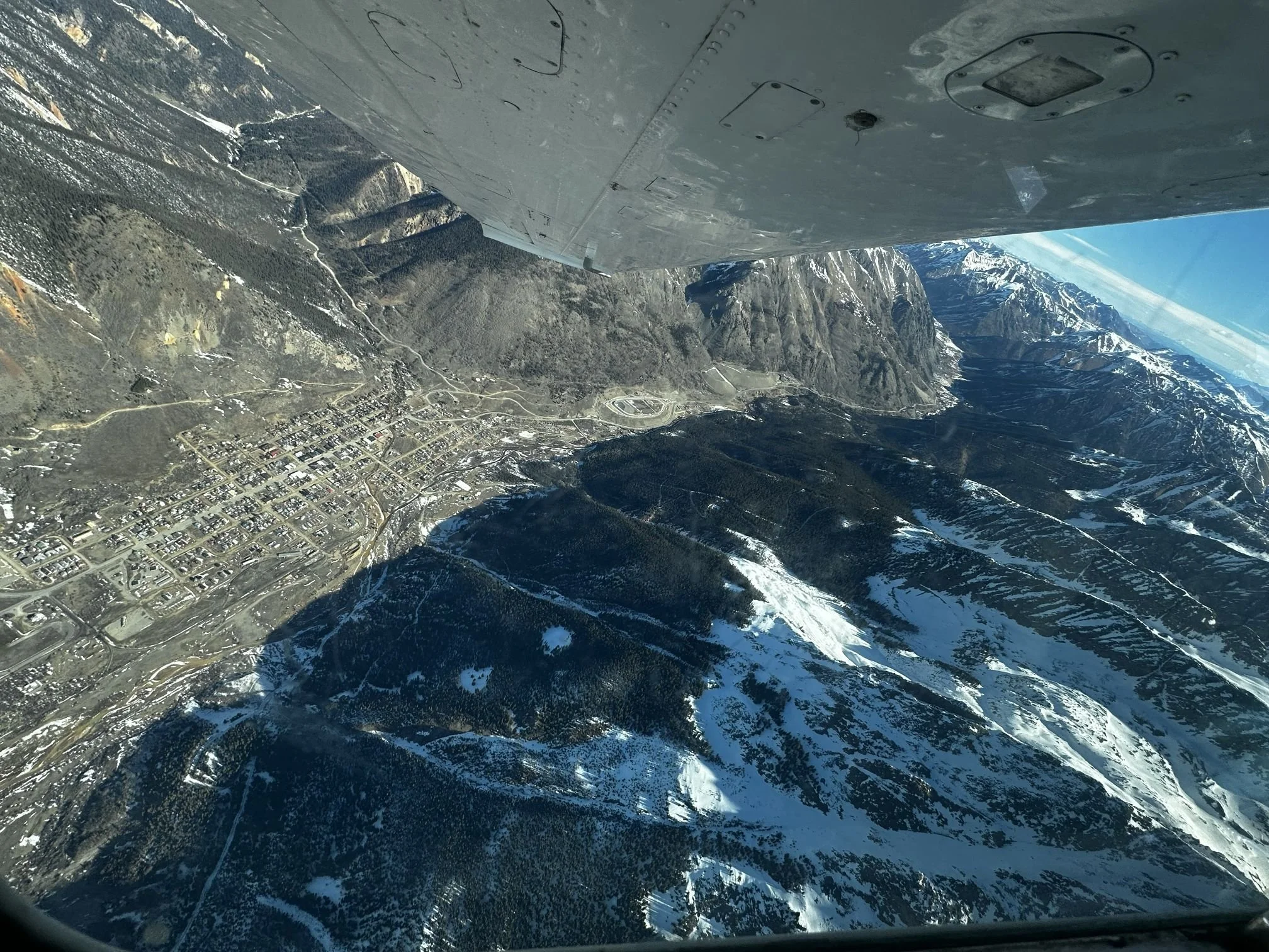
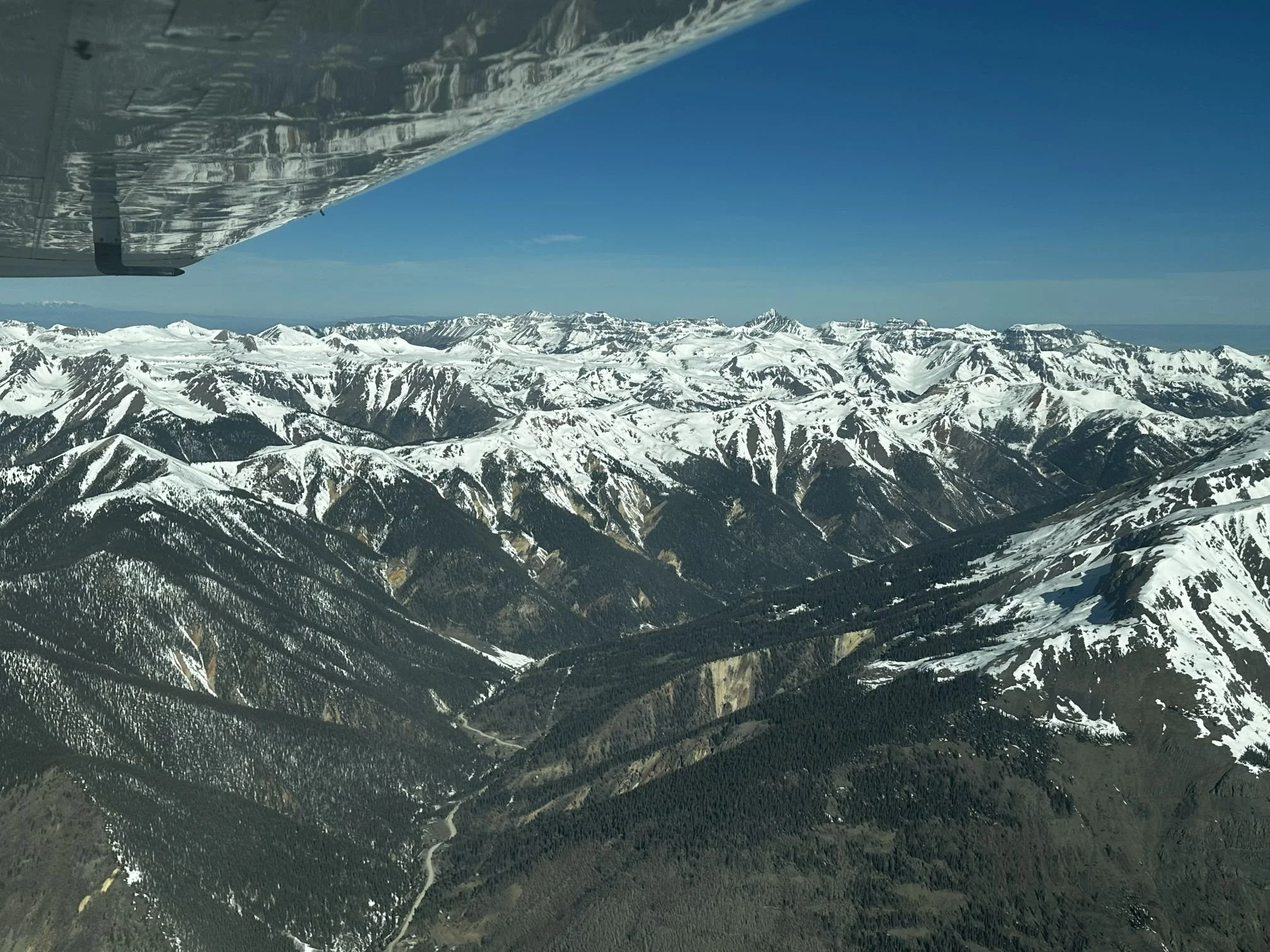
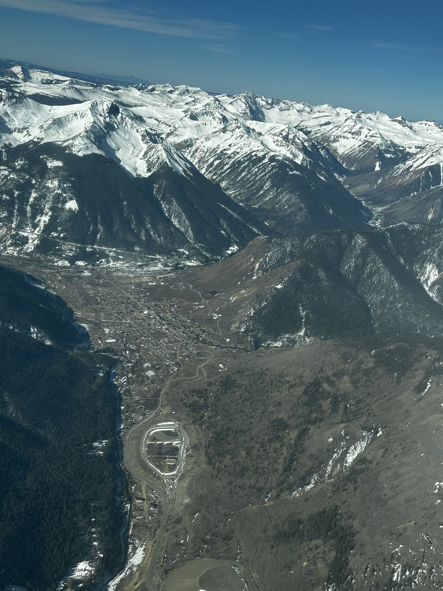
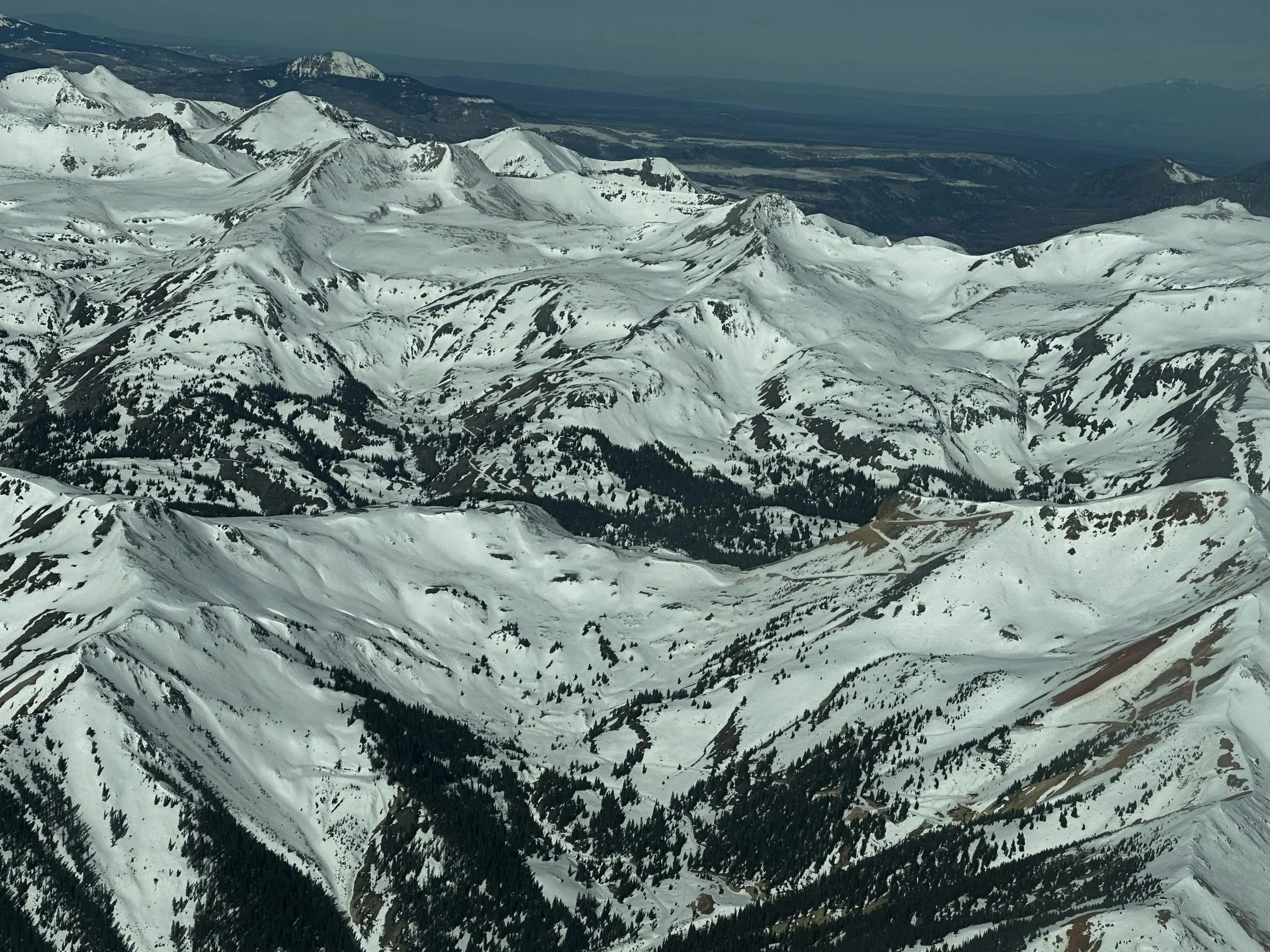
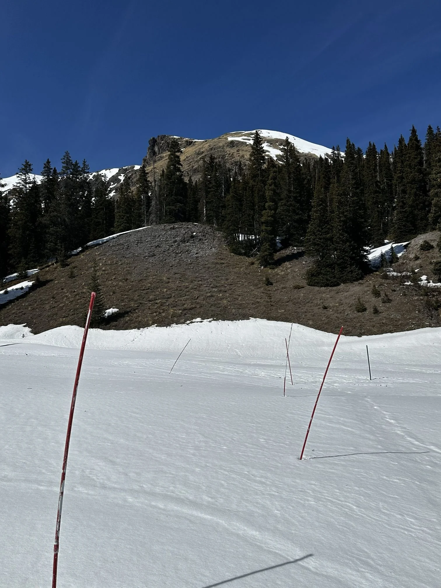
Below: On March 13 we were fortunate to take a flight over the Animas/Dolores/San Miguel/Uncompahgre watersheds with EcoFlight and Winter Wildlands Alliance. Below are a few select pictures of the flight.