CODOS UPDATE june 2: observations from southern codos sites
Greetings from Silverton,
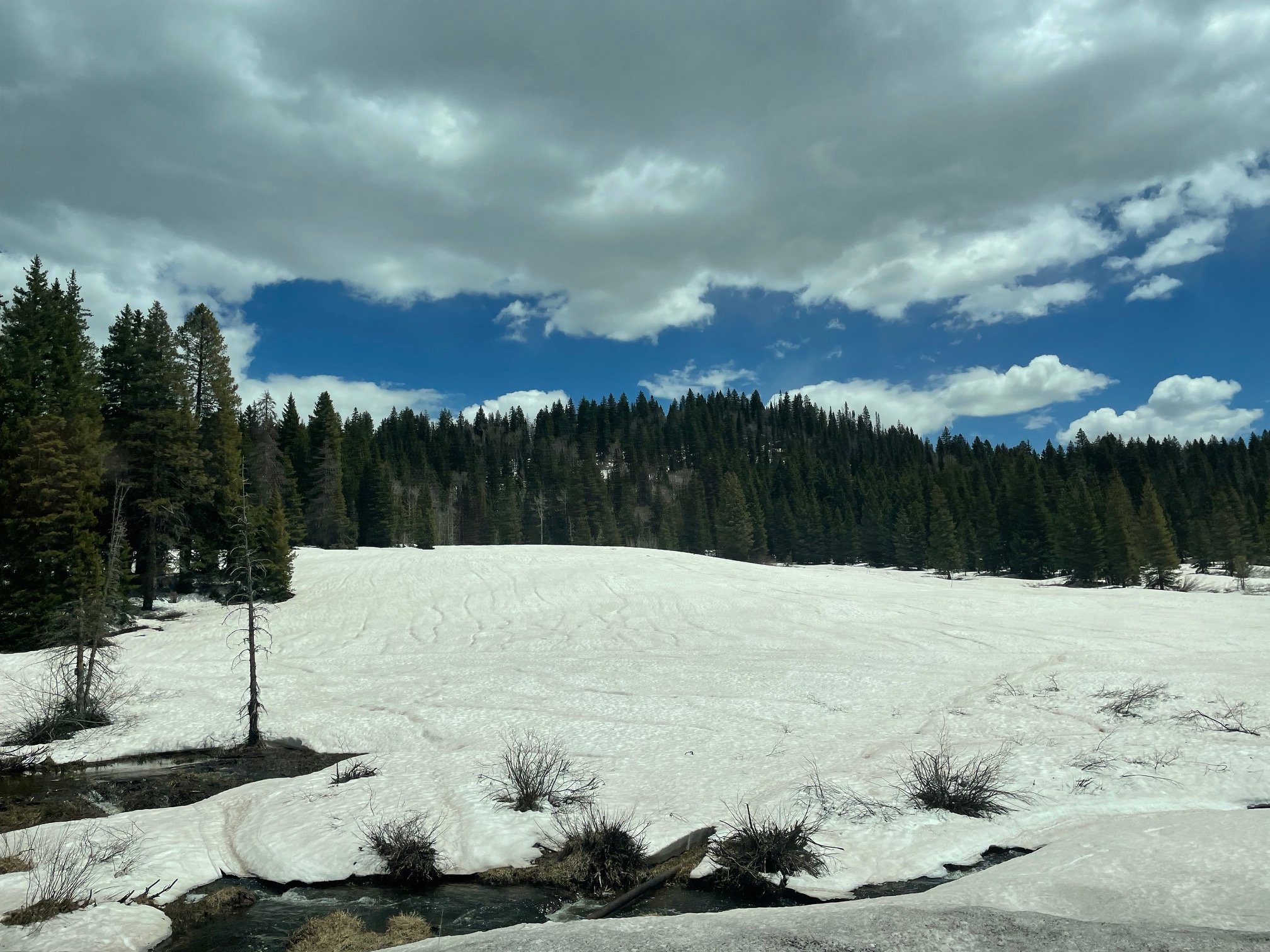
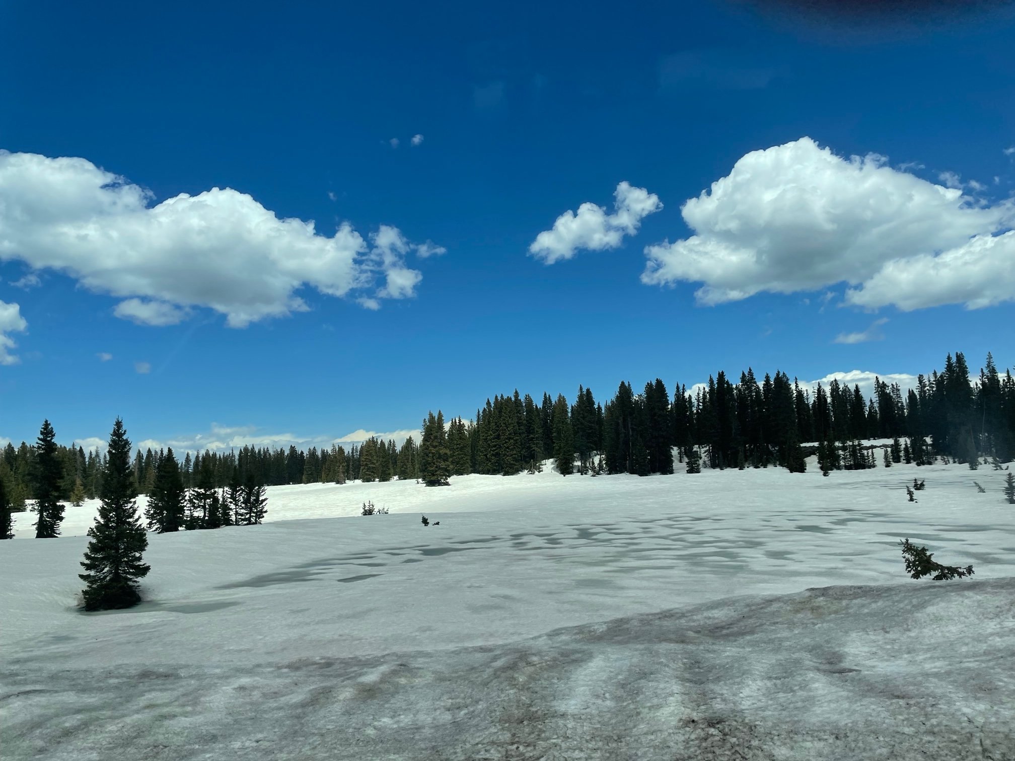
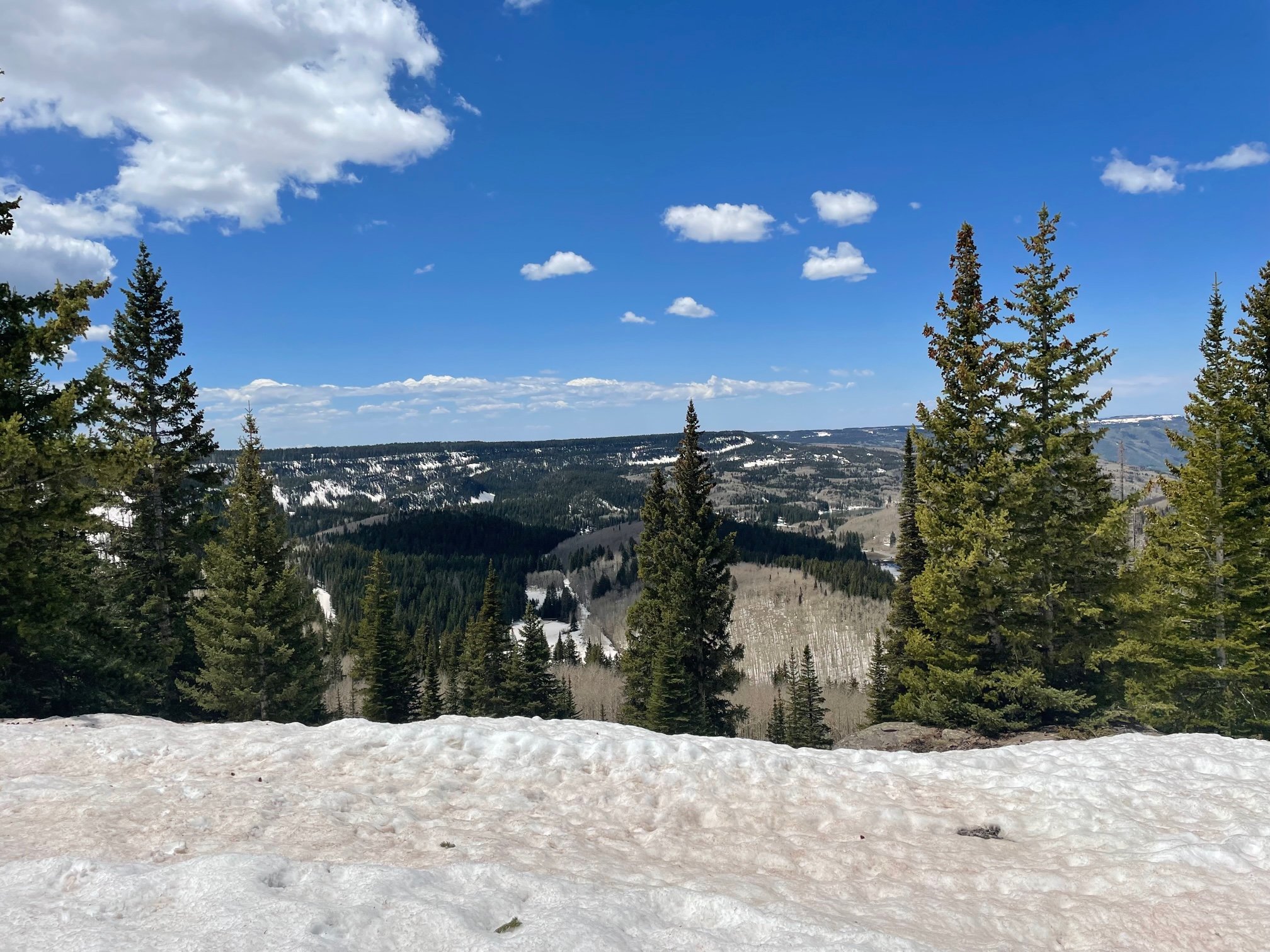
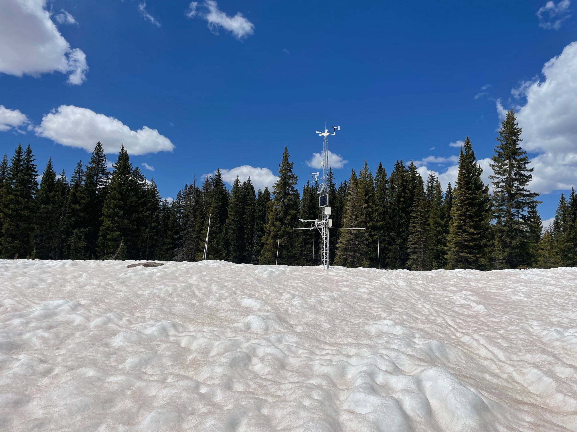
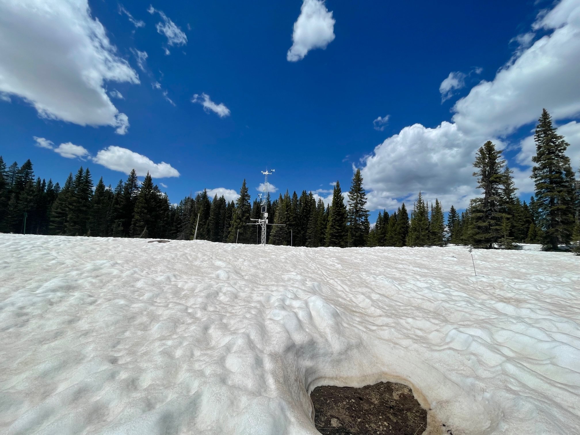
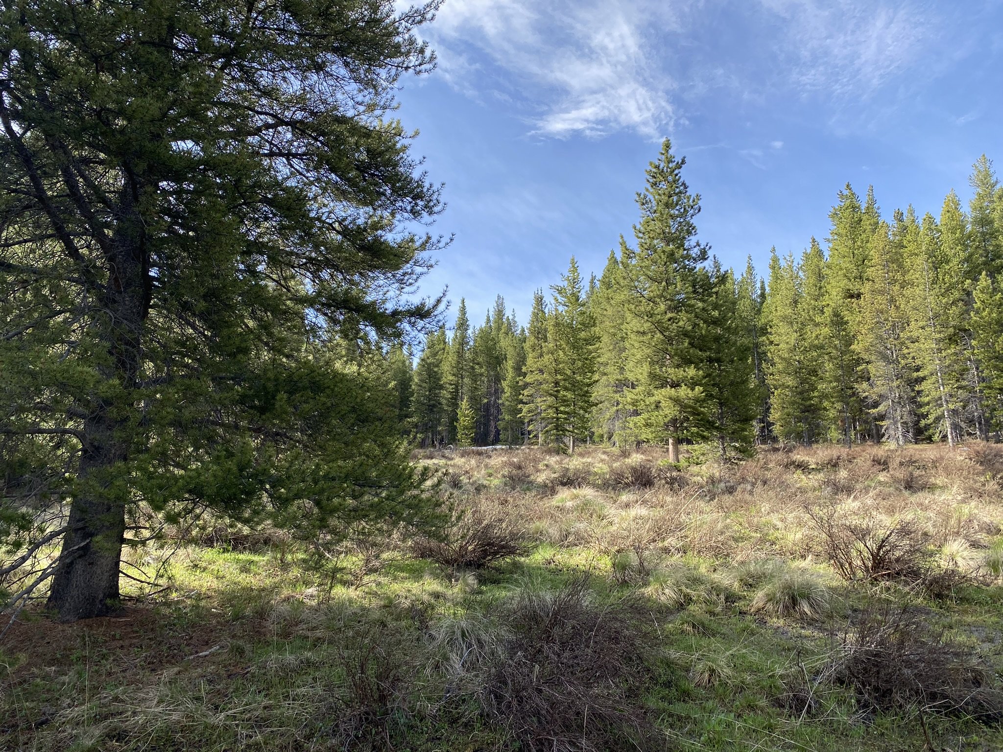
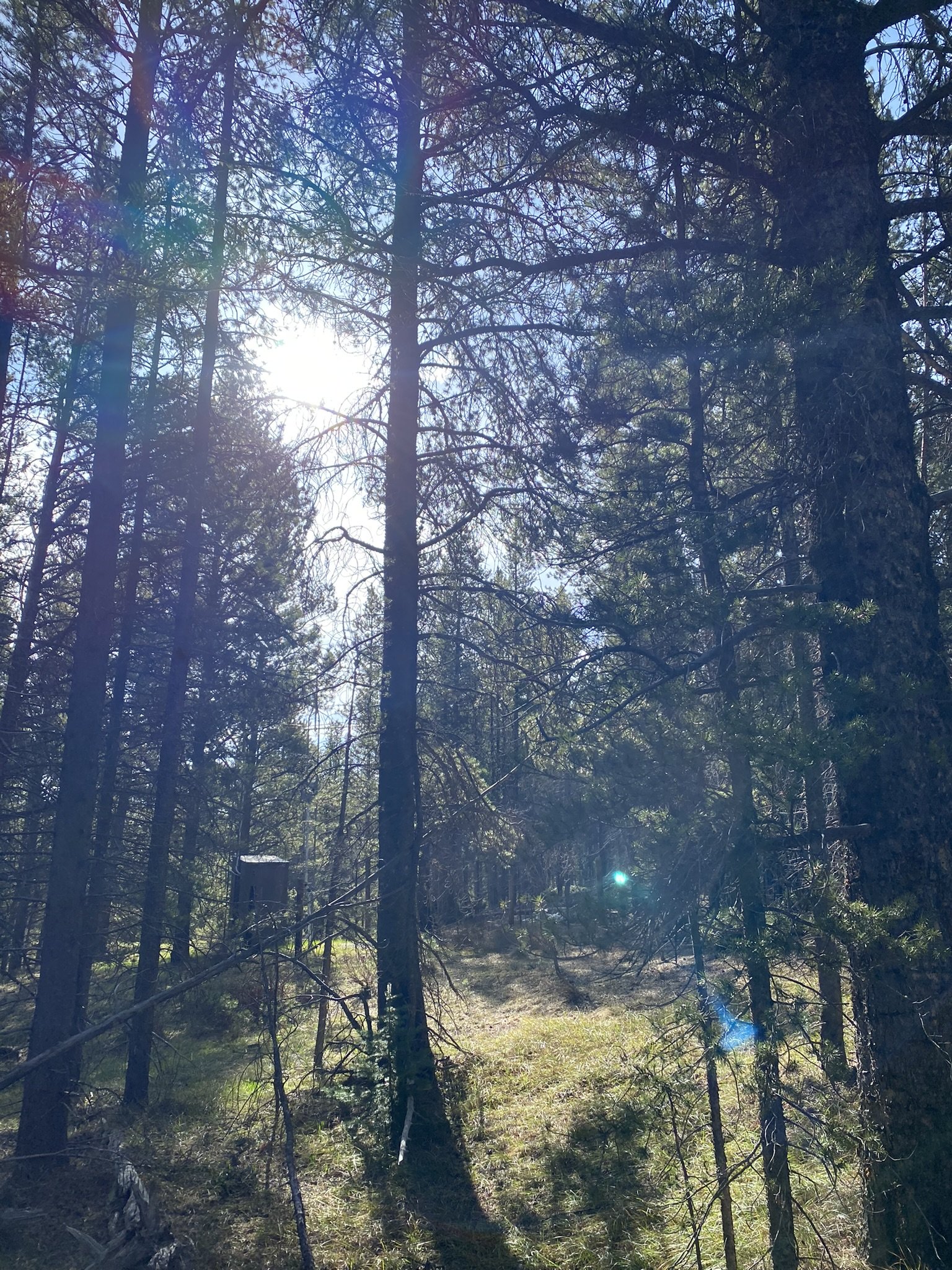
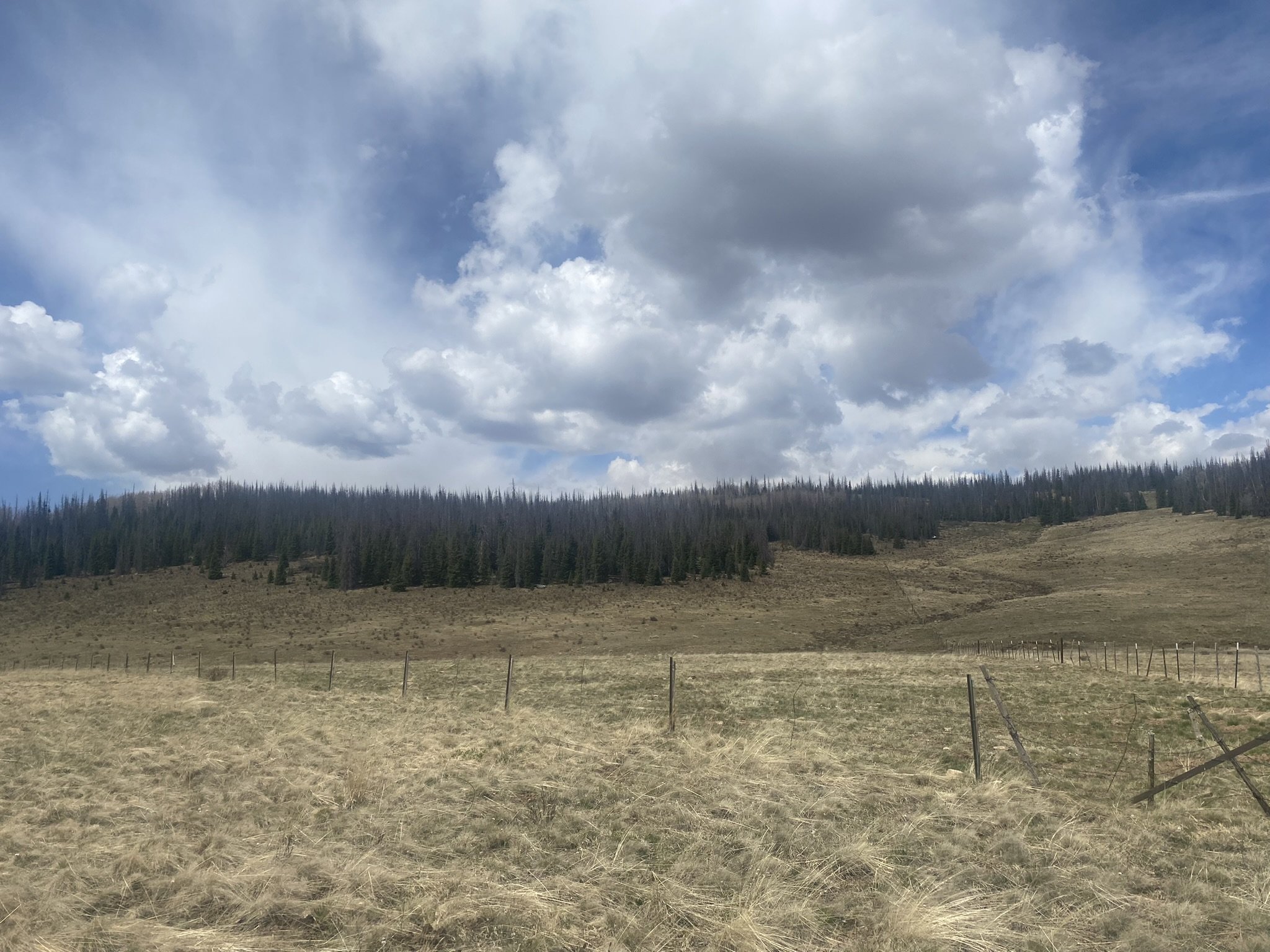
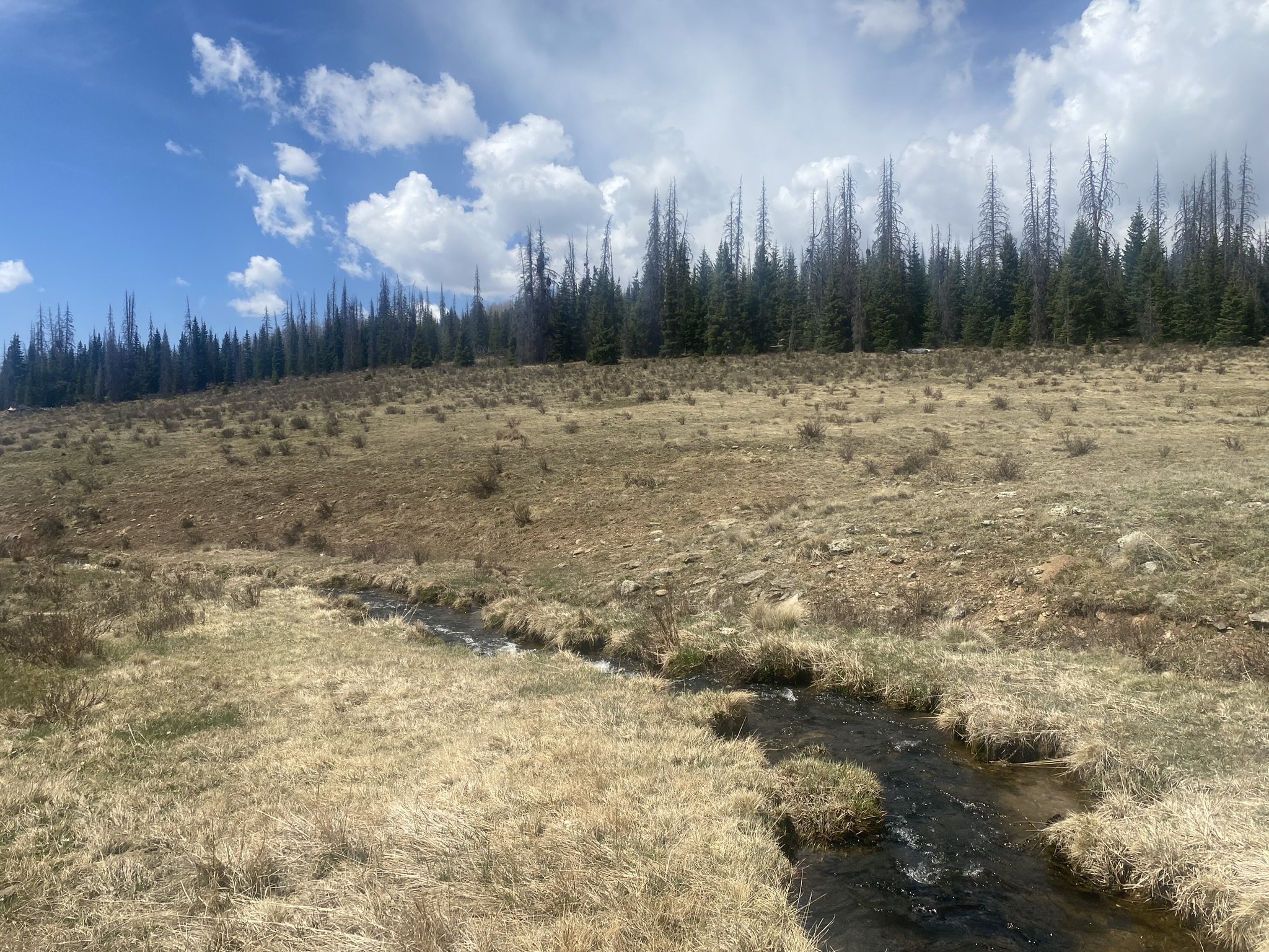
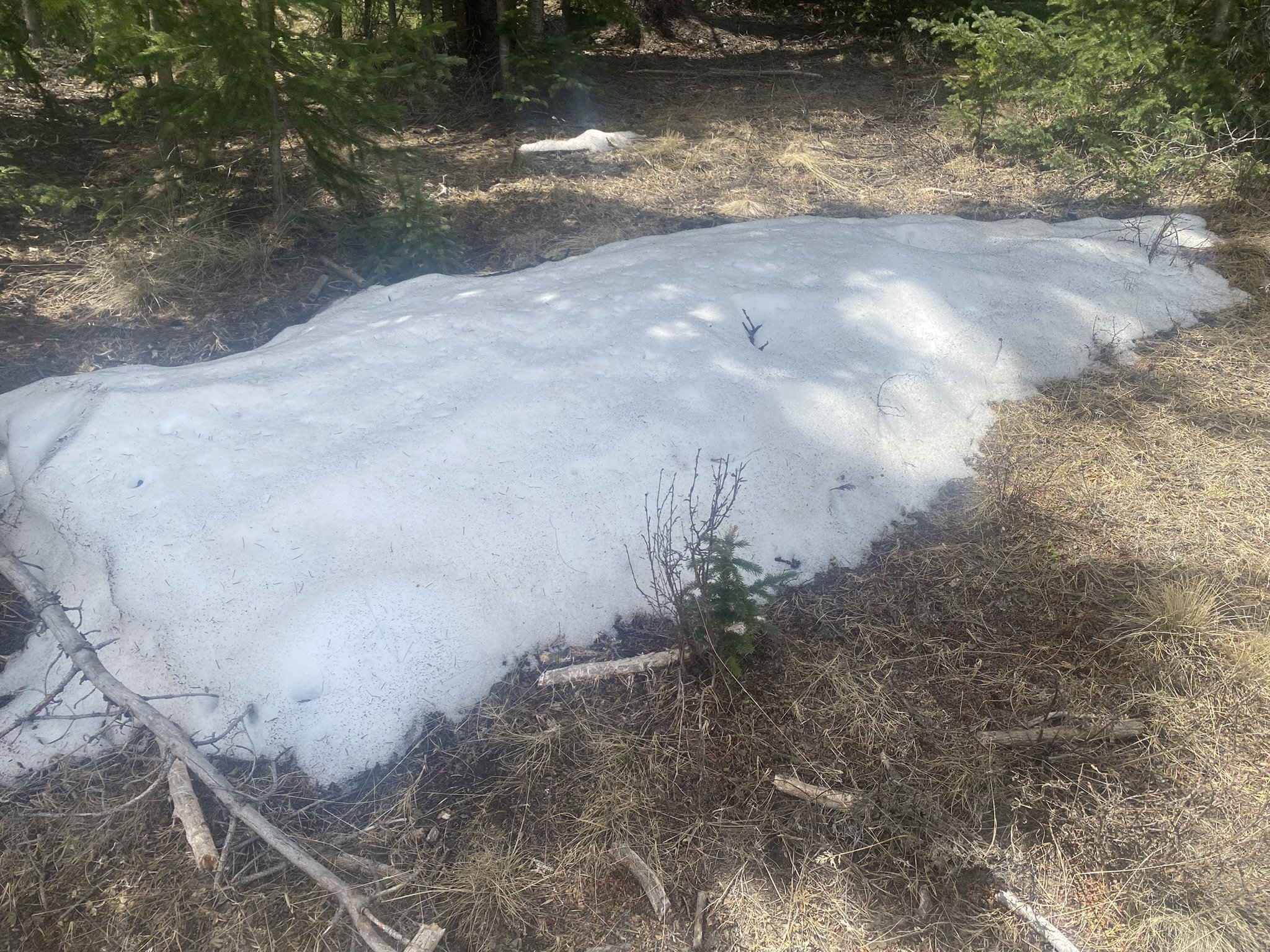
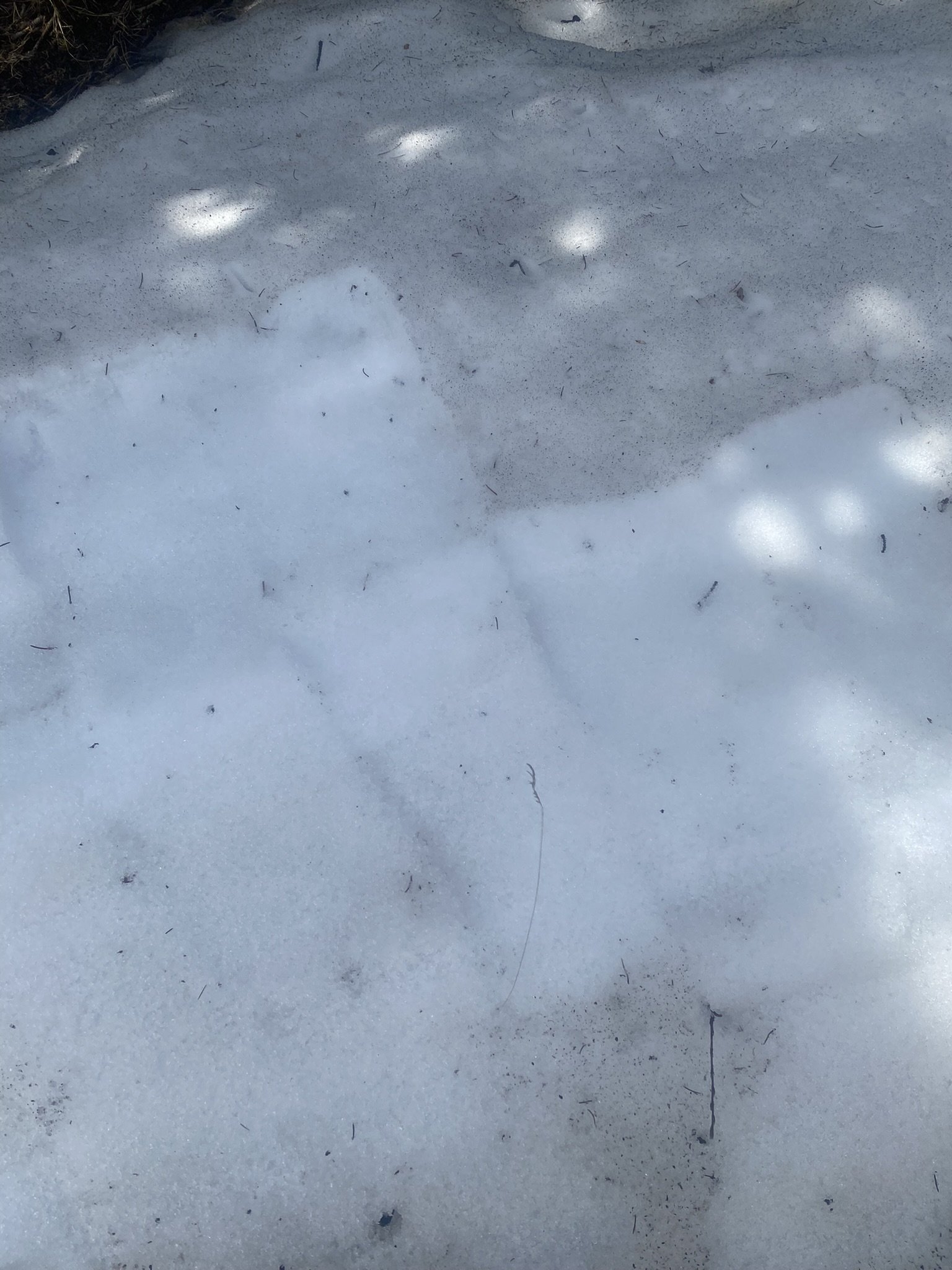
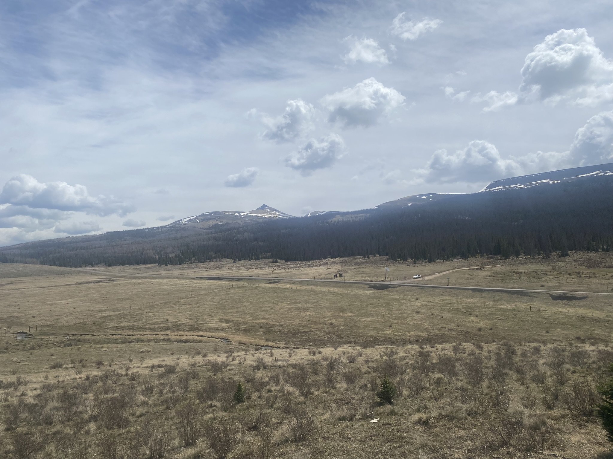
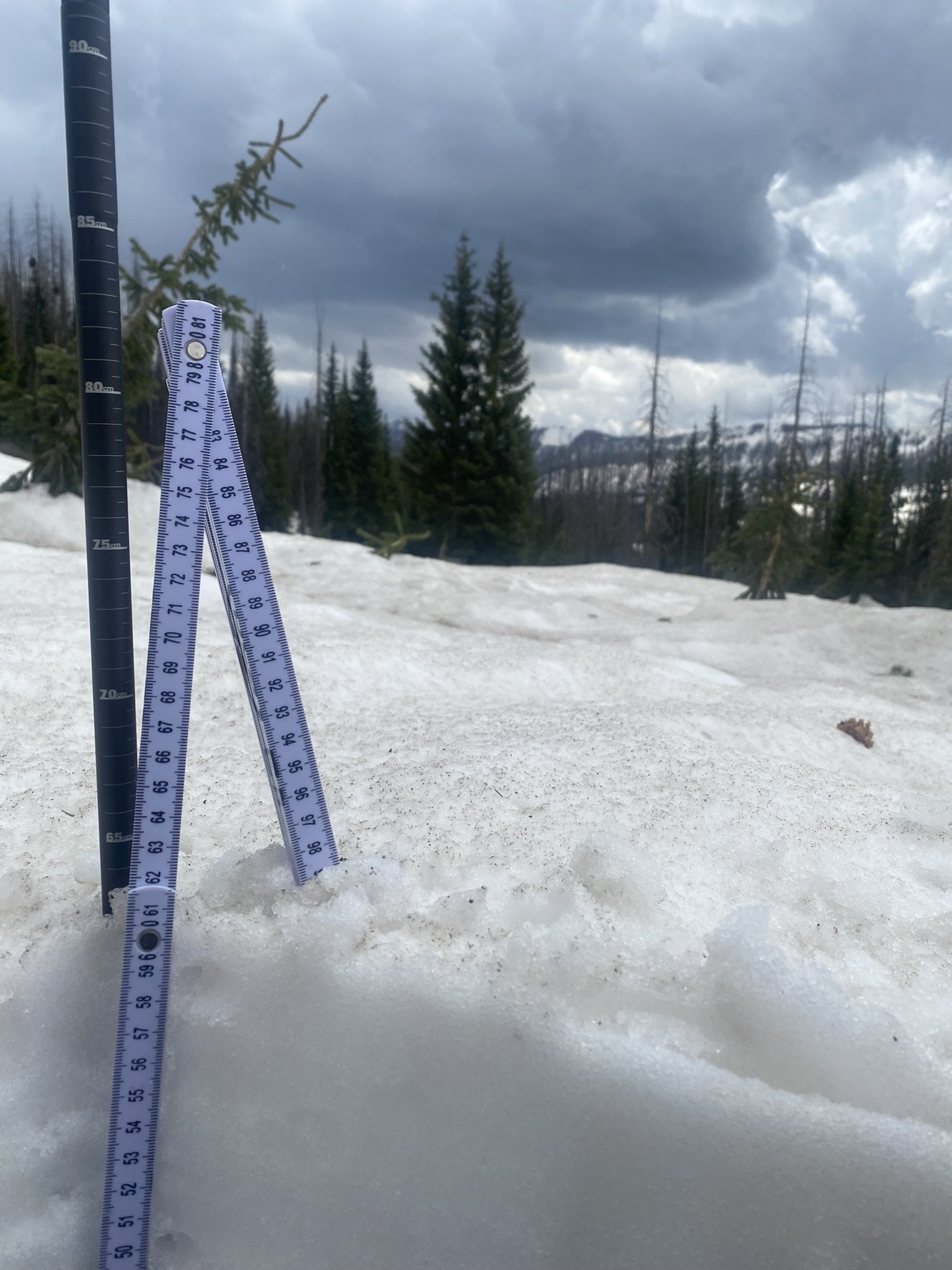
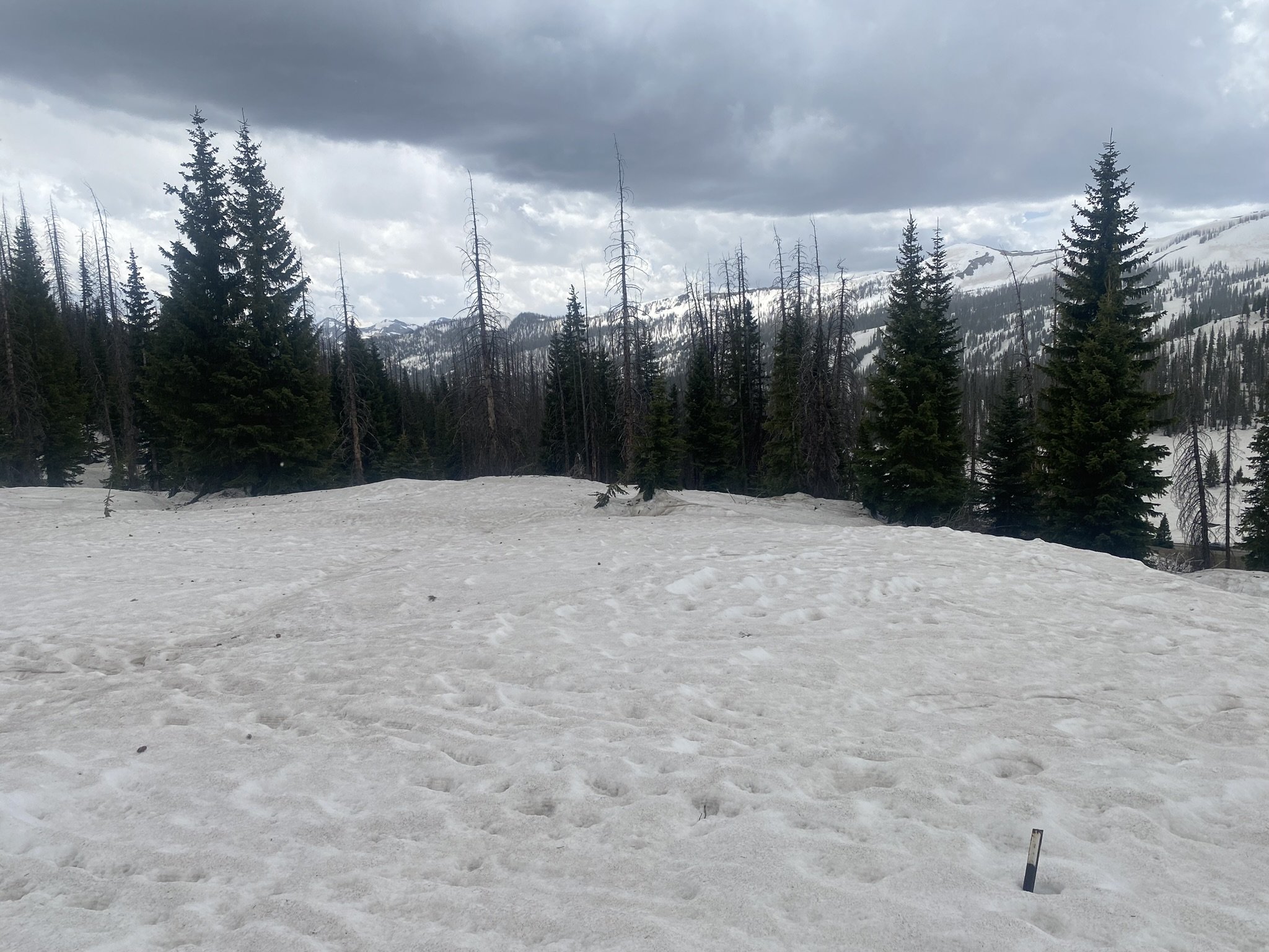
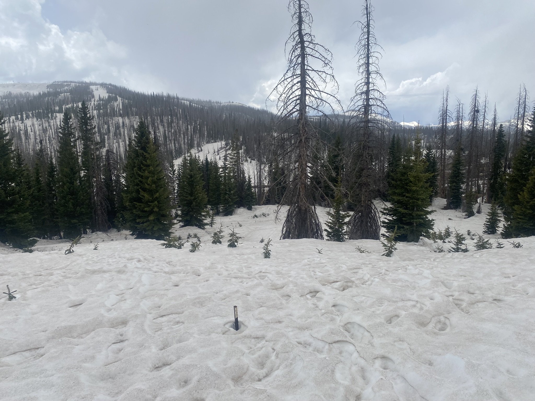
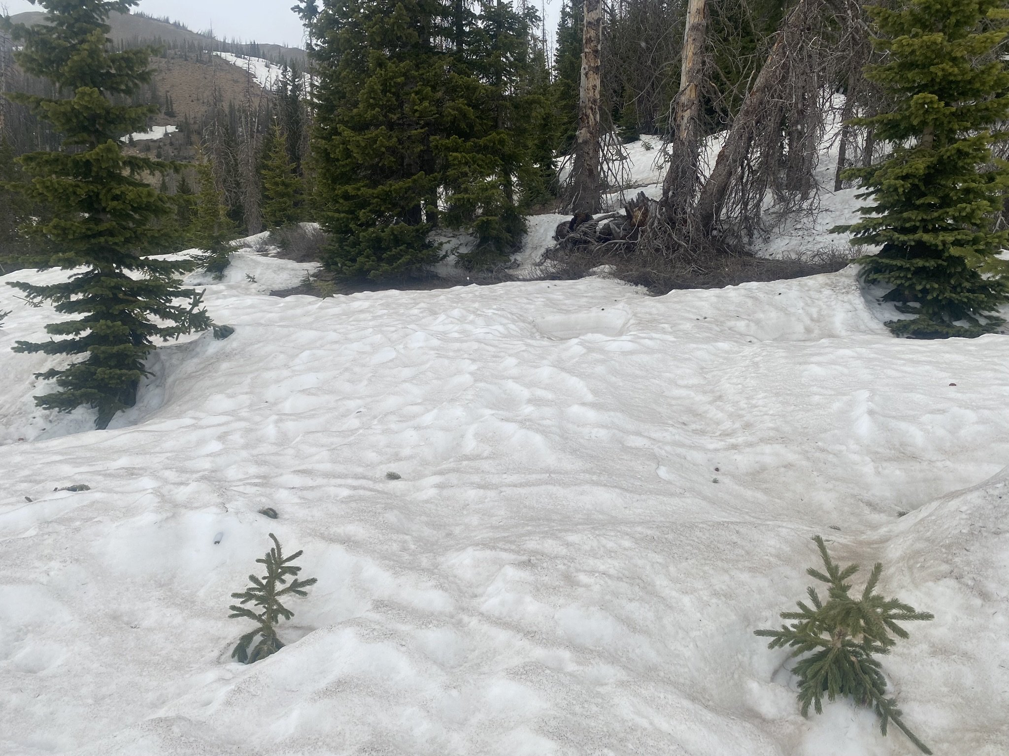
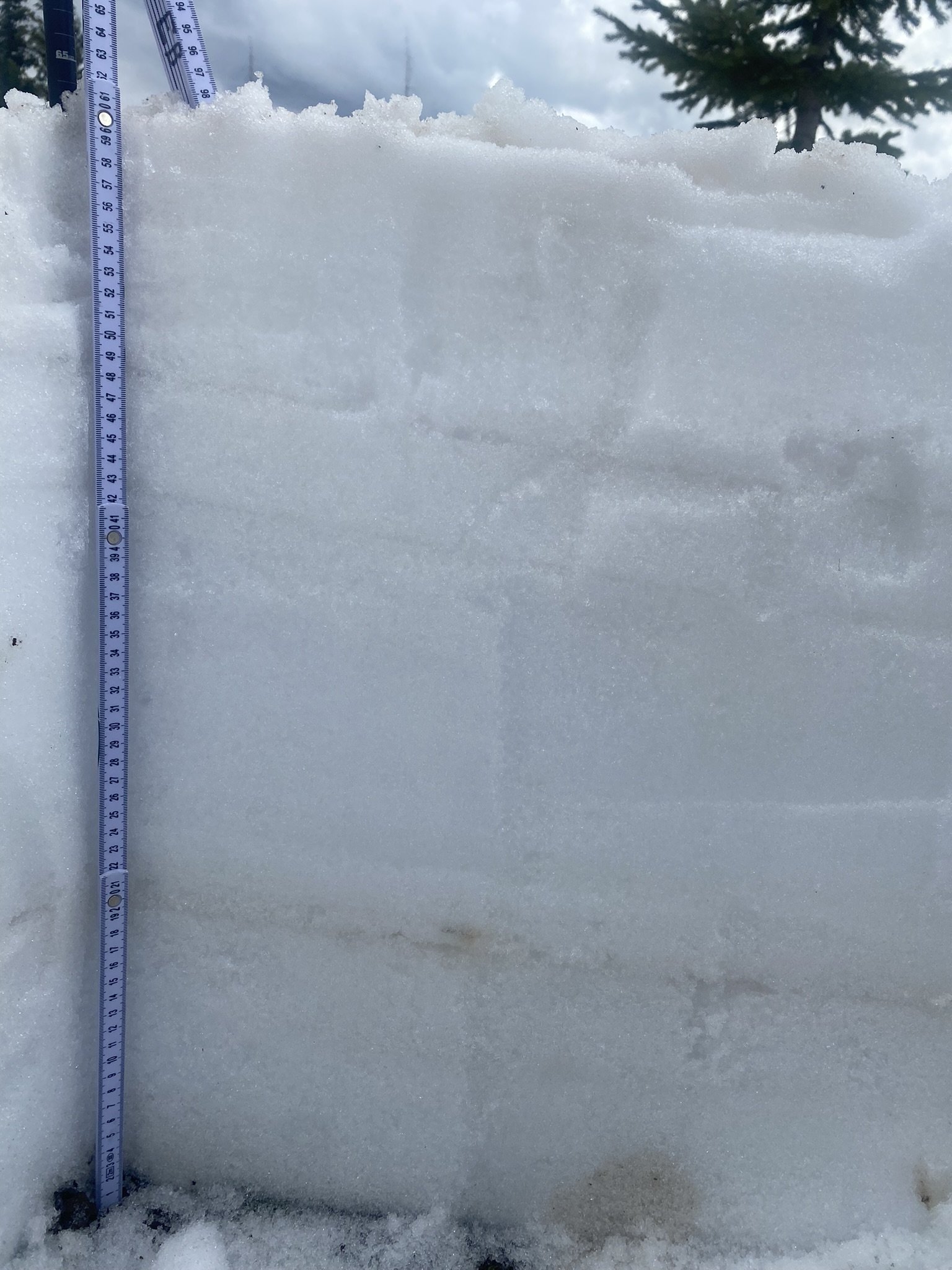
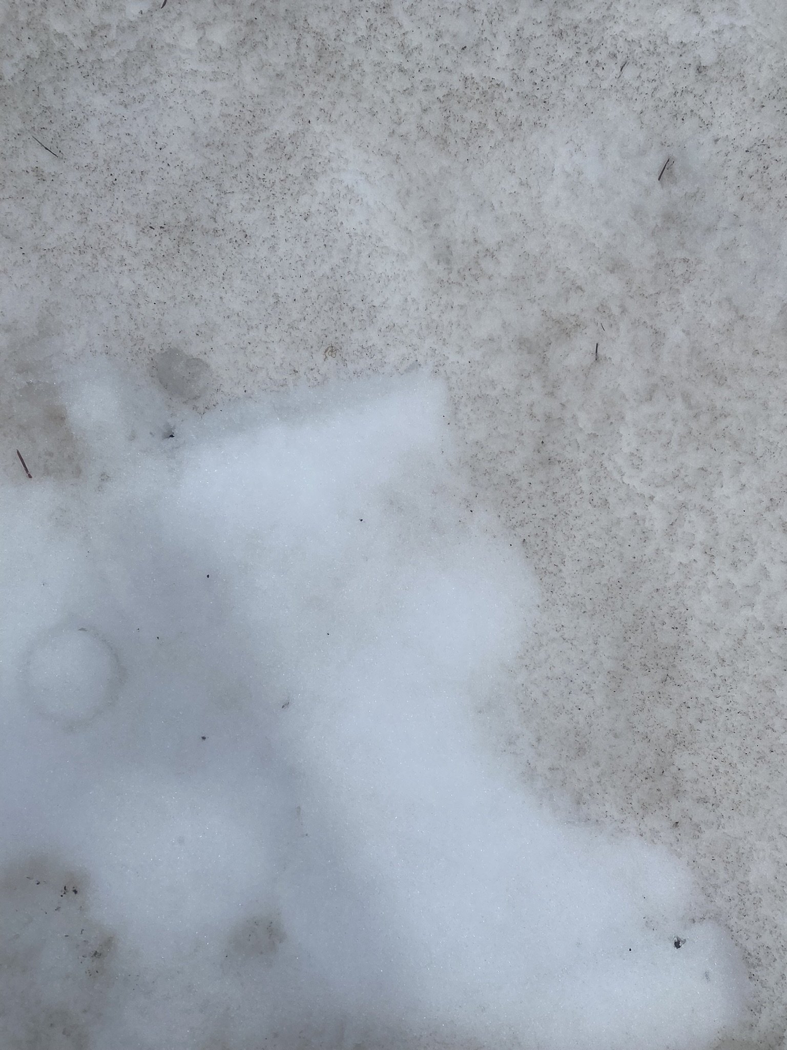
The codos team visited Grand Mesa on May 28 and Park Cone, Spring Creek, and Wolf Creek on May 31. The snow surface is loaded with high amounts of dust accumulated throughout the season, most notably from the April 3/4 dust-on-snow event. Remaining snowpack is in the high elevations and has been for awhile so it was no surprise to see Spring Creek, McClure, and Park Cone largely snow free. Grand Mesa and Wolf Creek still have about 24” of snow remaining. Please see brief summary and pictures below.
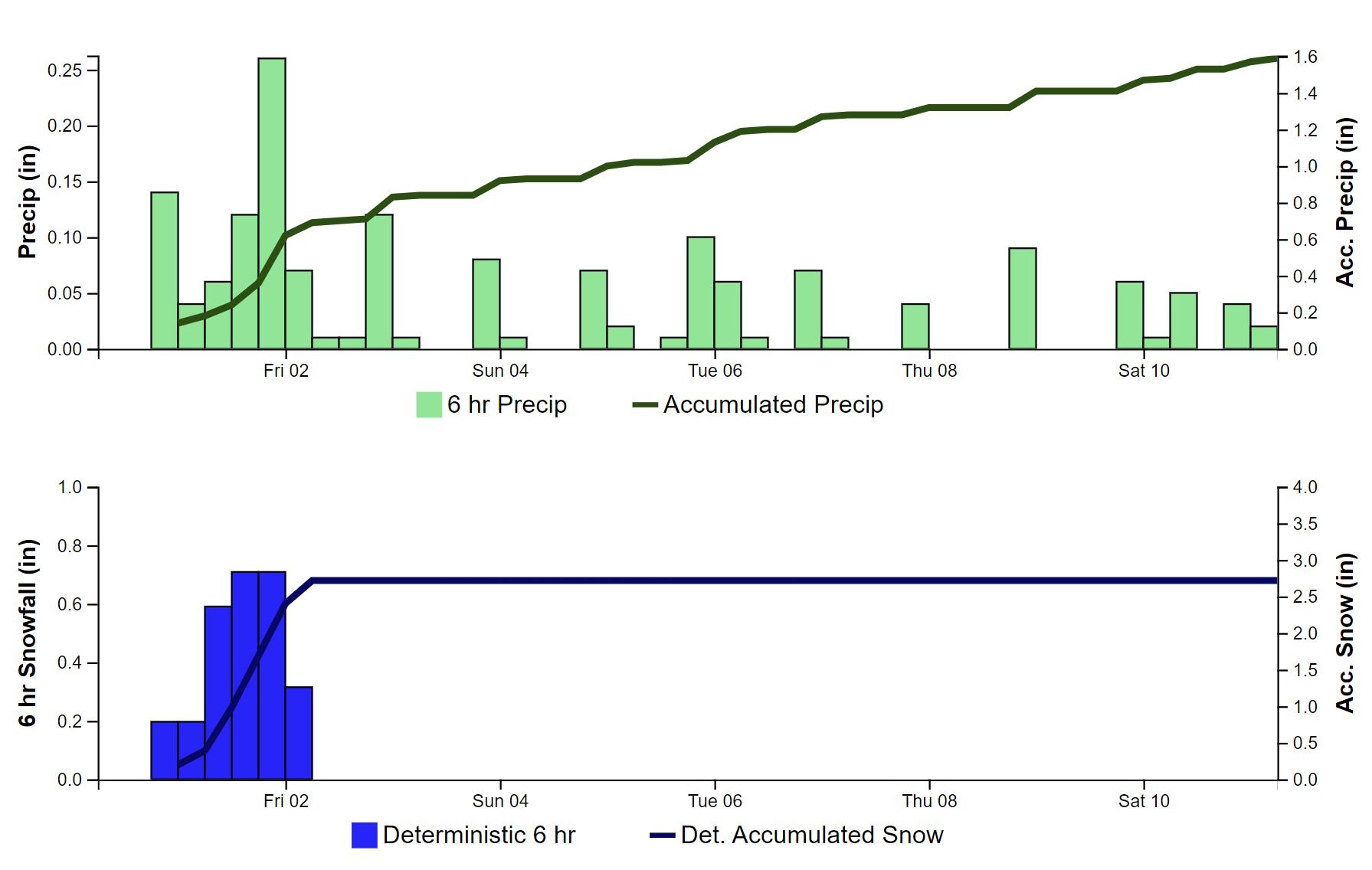
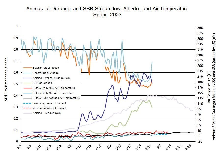
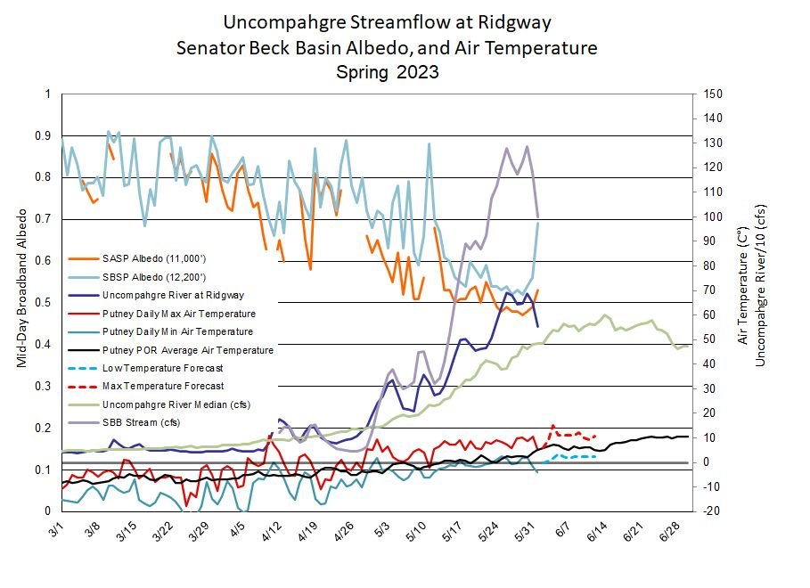
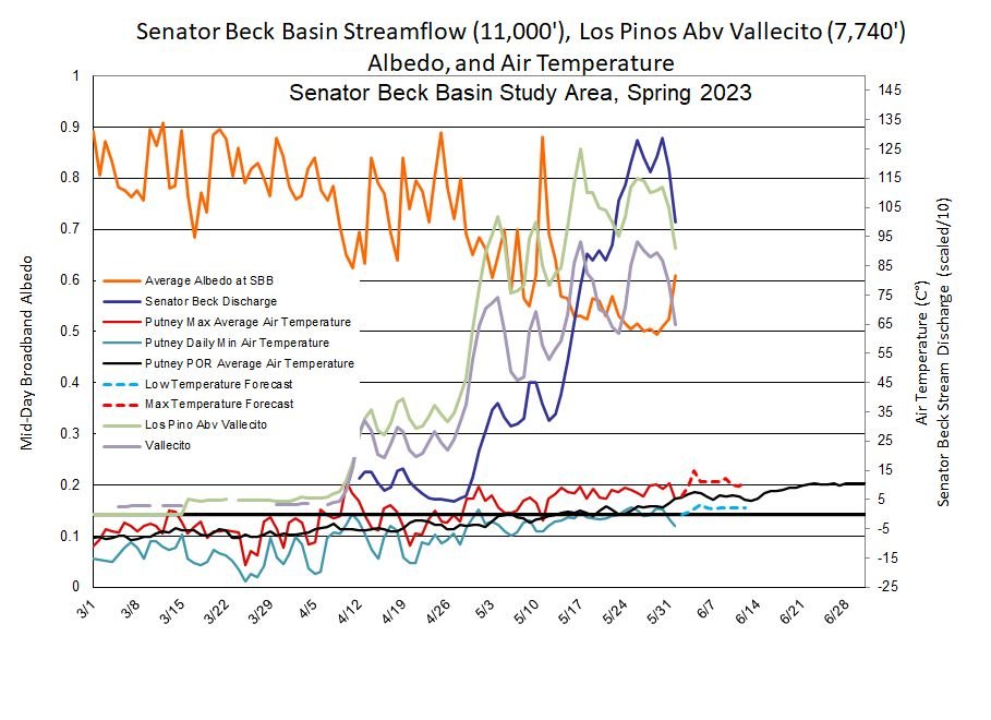
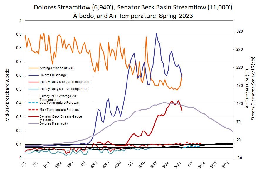
The weather forecast is much the same as we discussed a couple days ago (wet/cloudy/cooler), and confidence seemed to increase chances of snowfall at the highest of elevations yesterday and today. This indeed happened yesterday at Swamp Angel (11,060’) and Senator Beck (12,200’) and the result can be seen in the plots of albedo and streamflow below. Albedo shot upwards, more so at the higher Senator Beck site as more precip was received as snow, and streamflow dropped off sharply at our stream gauge and gauges downstream. The forecast is calling for more precip as rain instead of snow, but tracking elevation zones of any more snowfall will be very informative as to what to expect in changes of streamflow amounts and timing.
Remember to check out the lastest ASO data and model runs, follow this link.
More Soon,
Jeff Derry
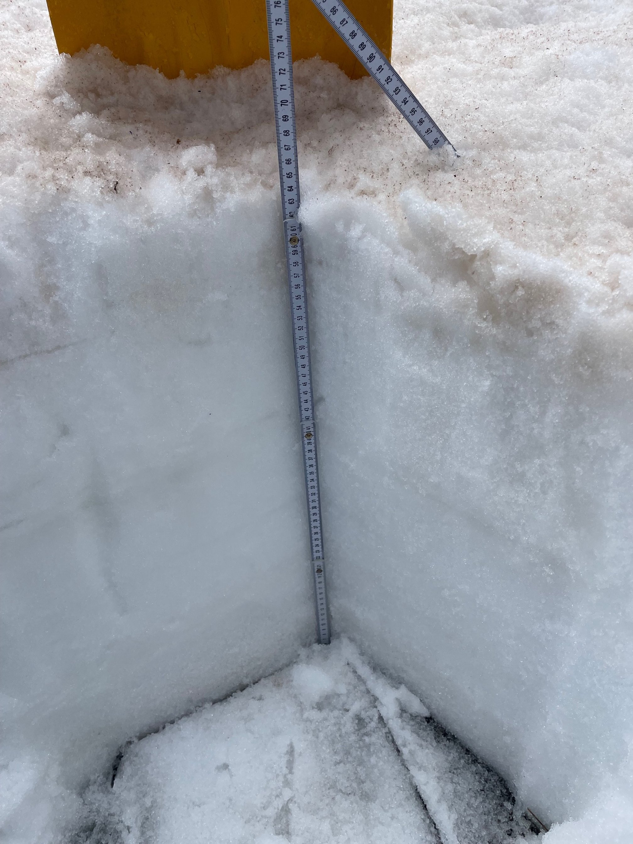
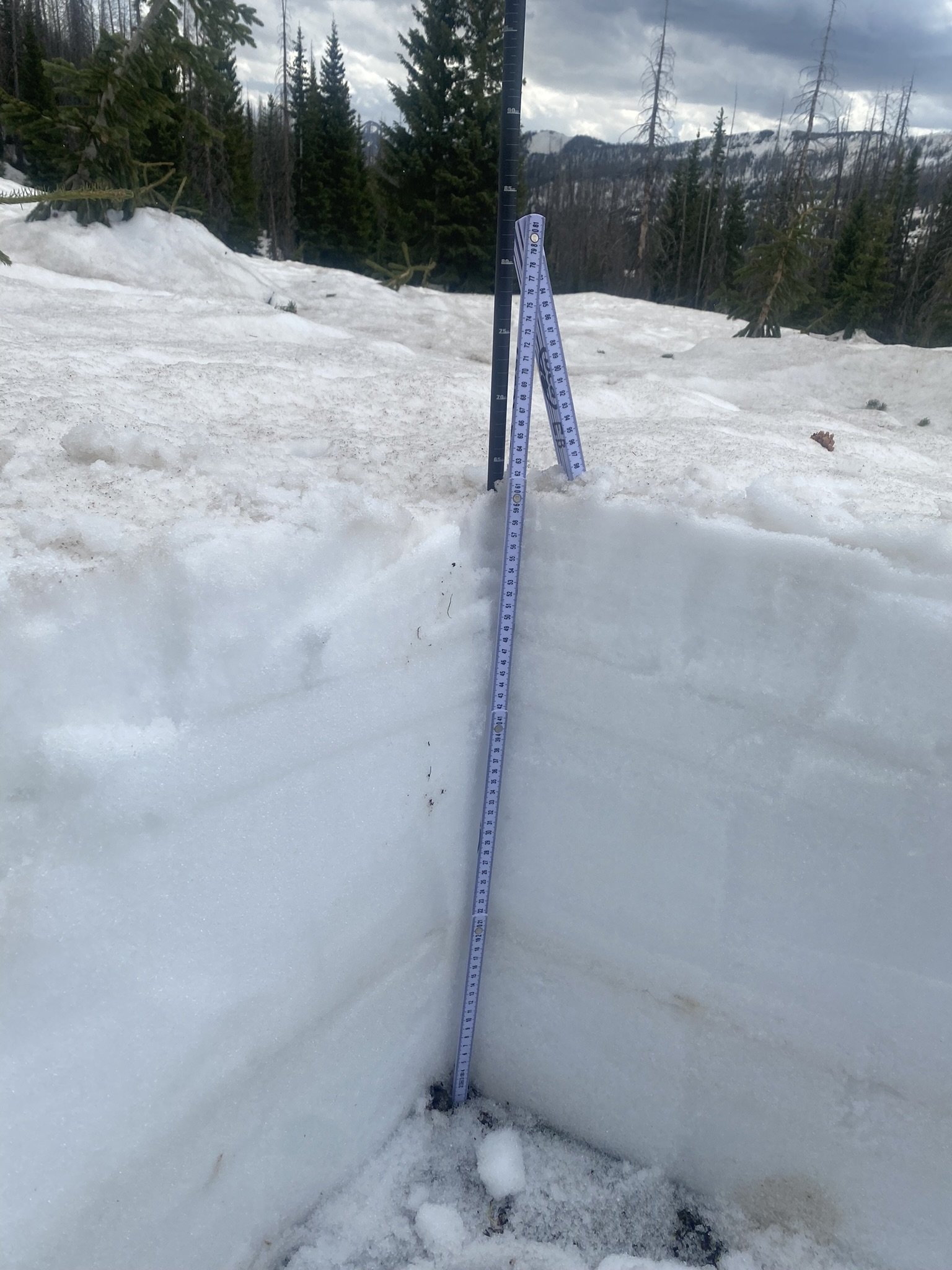
Grand Mesa: Observations on May 28 showed snow depth of 25.2” at the sample site, density 511 kg/m^3, and SWE of 12.9”. Nearby Mesa Lakes SNOTEL was reporting 6” SWE. Grand Mesa is a dirty bugger, it was one of the areas hit hard by the April 3/4 dust event. And like we have seen elsewhere, there is a high degree of surface roughness. Remaining snow will go quick given nice weather. Or maybe slower than typical given the cloudy/cooler forecast.
Park Cone: Park Cone SNOTEL went snow-all-gone on May 23. Snow has retreated to the high elevations.

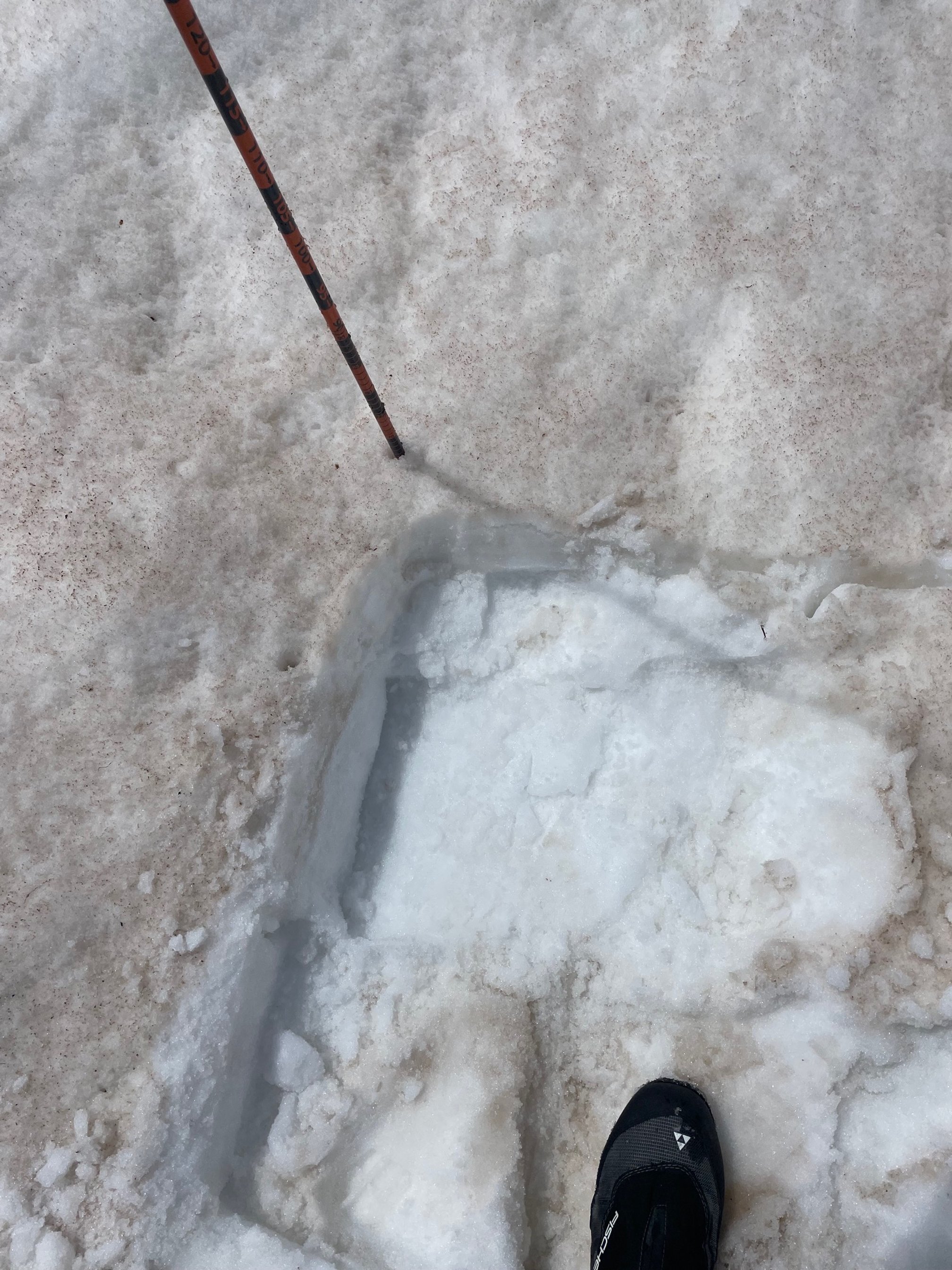
Springs Creek: The closest SNOTEL, Slumgullian, has been snow free since May 16. Like all the codos sites we collected dust samples for analyses by our USGS partners.
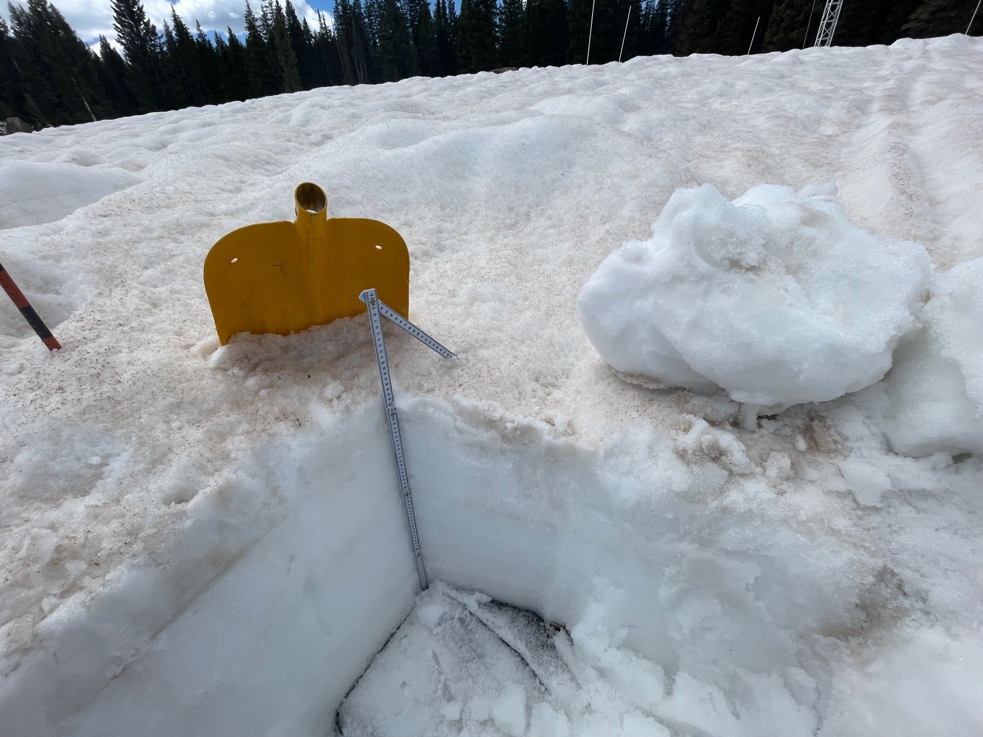
Wolf Creek: Our measurements at Wolf Creek showed 11.1” SWE. Snowpack depth was 24”. Nearby Wolf Creek SNOTEL reported 16.8” SWE. High amounts of dust and surface debris in the area. There was evidence of light graupel, but had melted or did not accumulate much. Overcast and cool during our visit.
McClure Pass: We could not get to McClure, without doing a full day of driving, due to road closures. There was a lot of snow in that area this winter, a few inches shy of double the amount of normal SWE at McClure SNOTEL! McClure is usually one of the first sites of our circuit to melt out. This season May 26 was the snow free date, about 10 days later than usual.
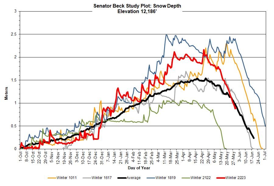
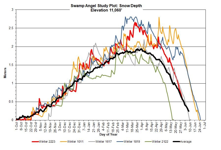
Below: Snow depth plots of station data in Senator Beck Study Basin. In the last 24 hours have we seen a spike in albedo from precip as snow and hence reduced snowmelt and streamflow rates. The higher Senator Beck station received more complete snow coverage of dust on the surface. Any new snow will not exert it’s influence for long as it is wet and minimal accumulation. If precip remains as rain then albedo will degrade, if more snow falls then it will increase and prolong higher albedo values. If albedo degrades and the overall weather remains wet/cool/cloudy we my not see a sharp rebound in streamflow but a gradual increase. Keeping a close eye on weather is key the next couple weeks.
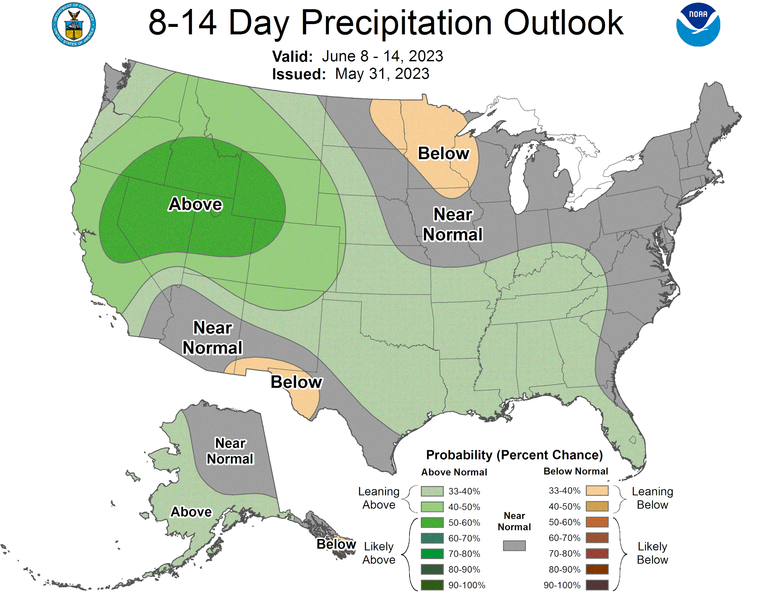
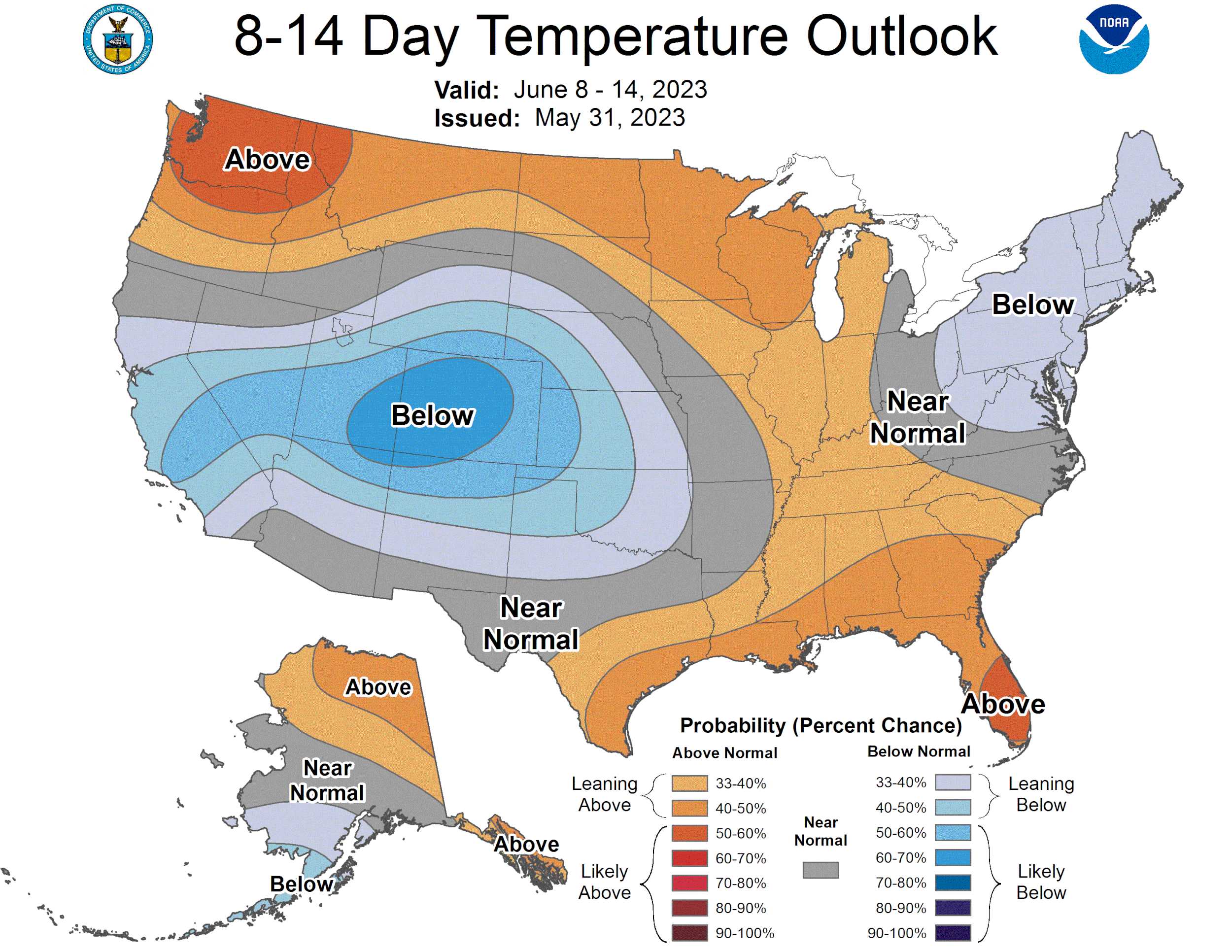
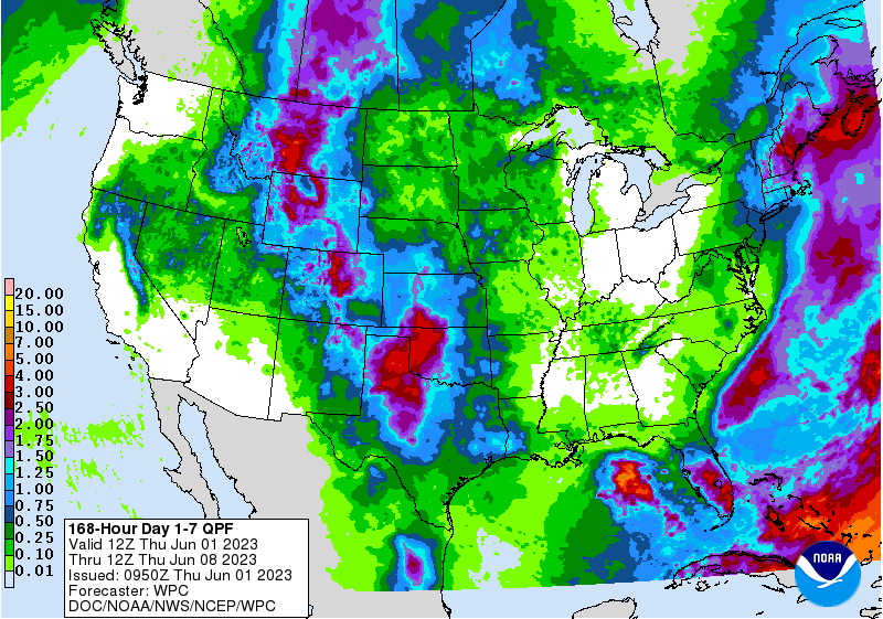
Below: Weather forecast maps and plots (Red Mt Pass region). See the forecast for your area here.