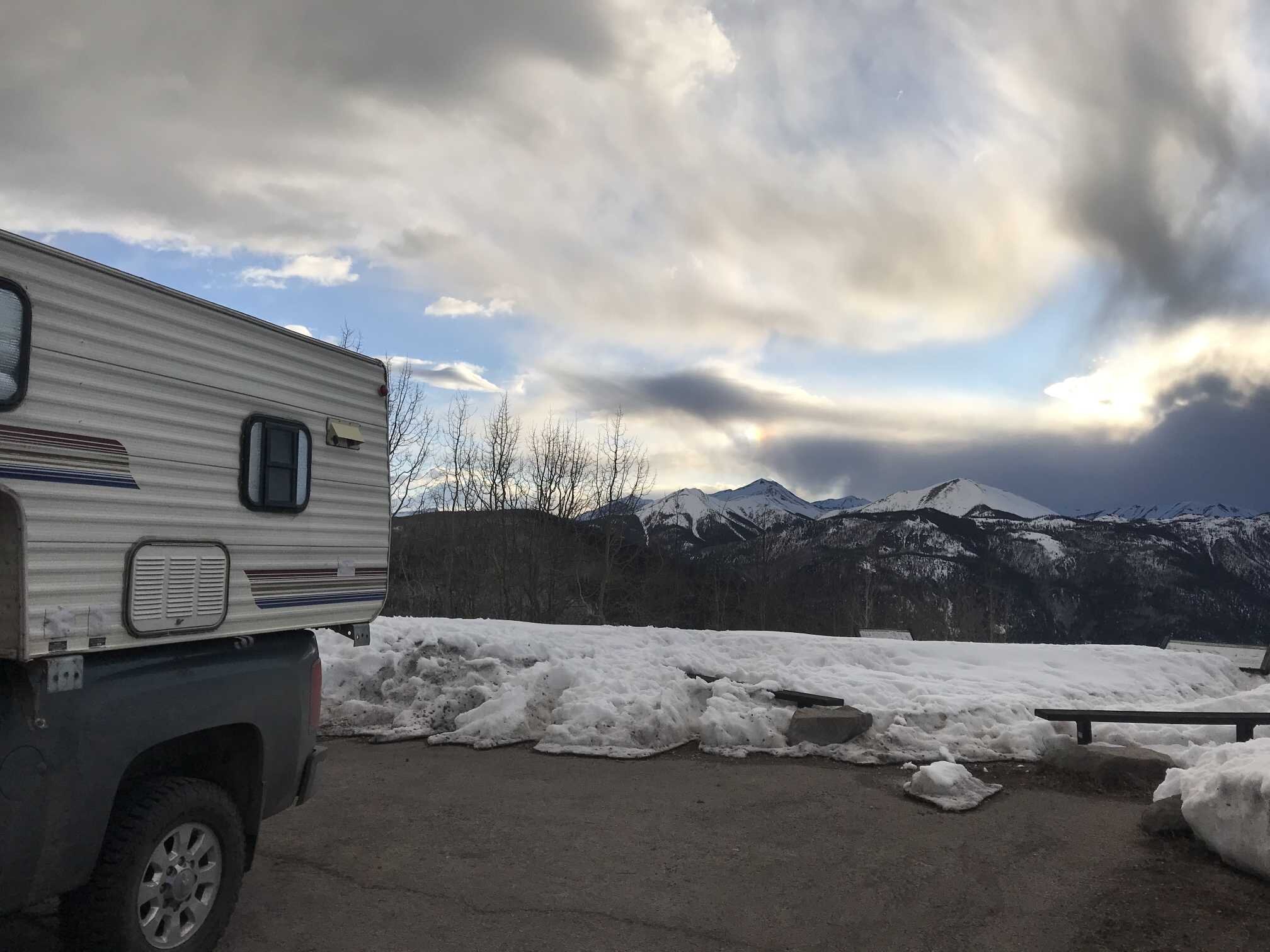
CODOS Update April 14, 2020: April CODOS Tour report
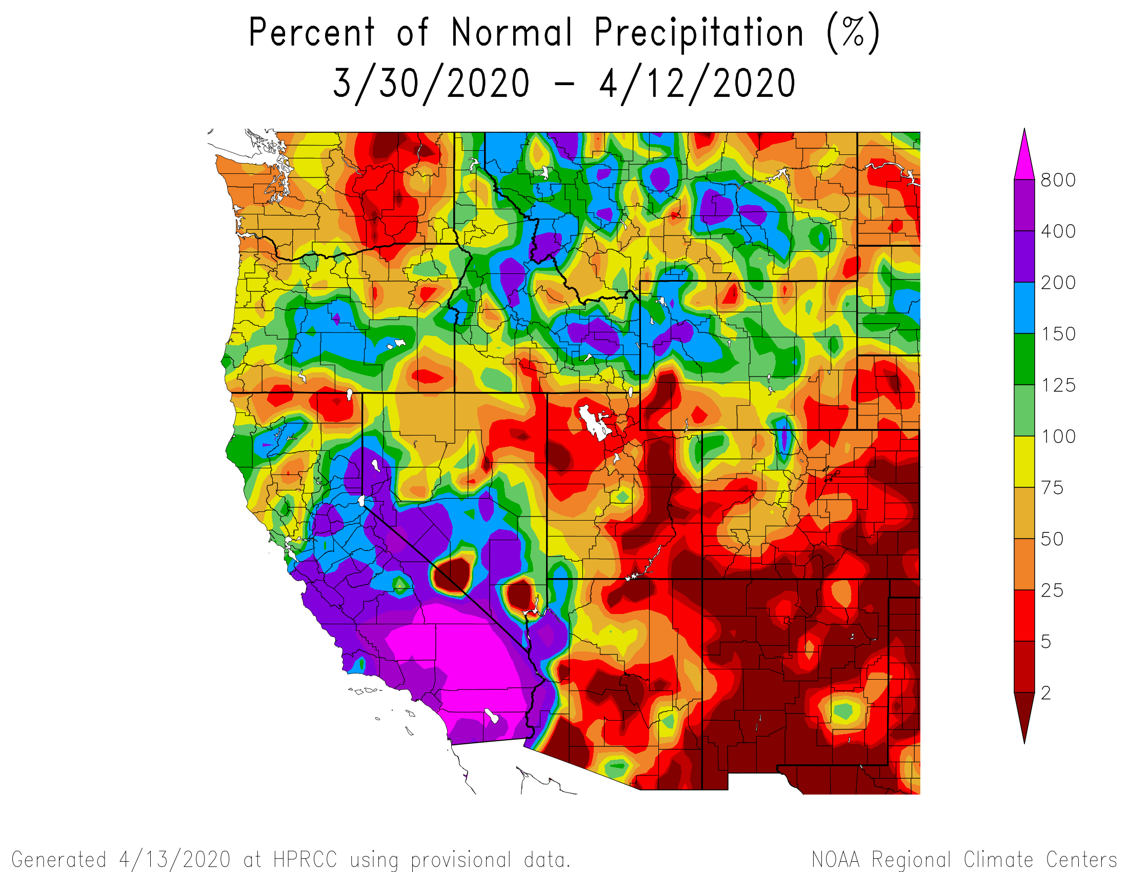
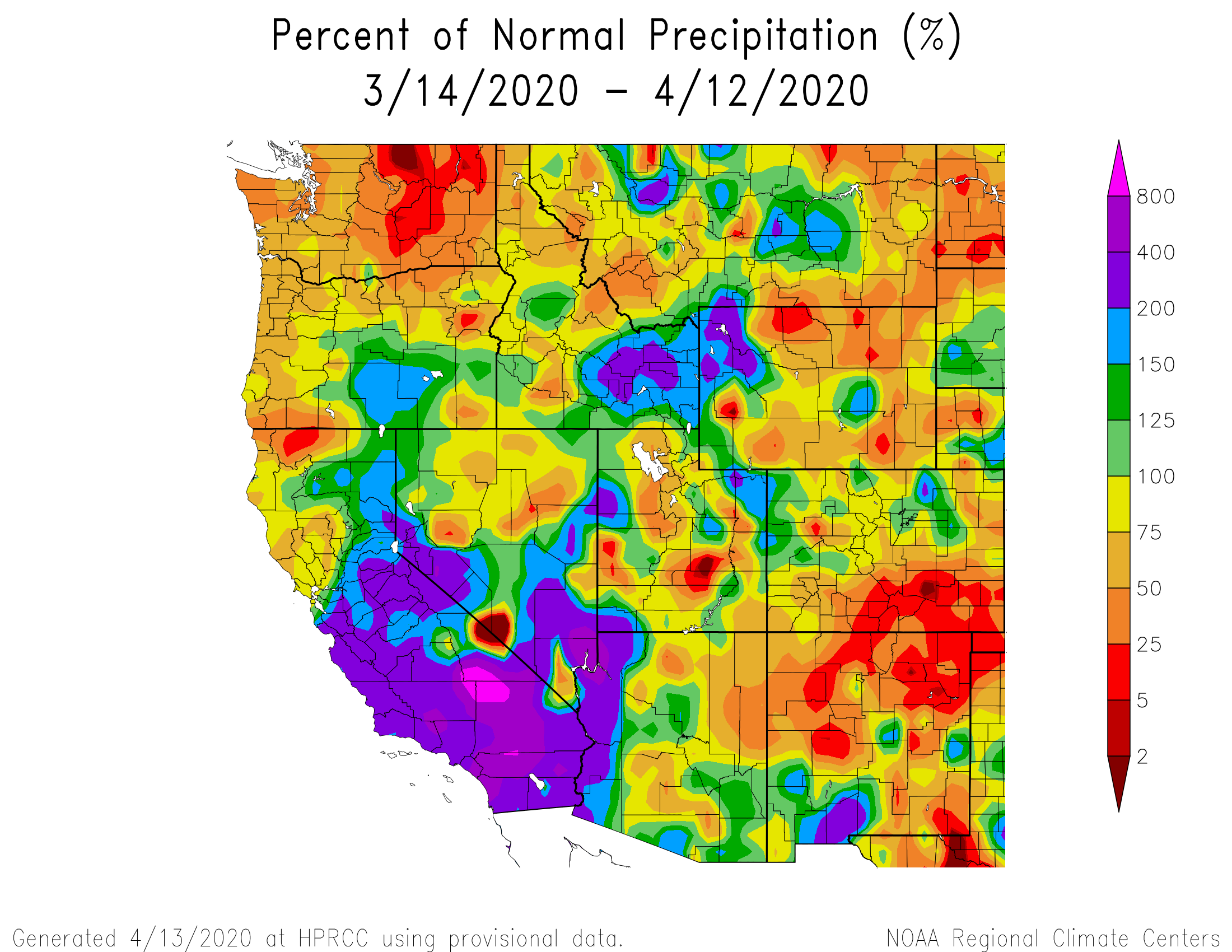
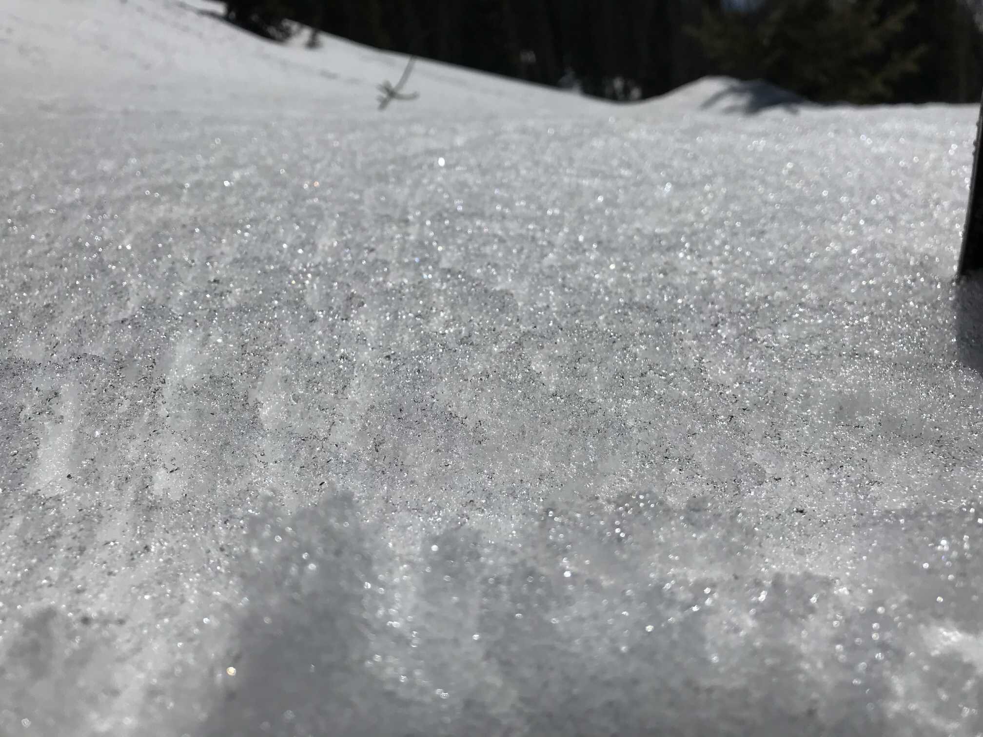
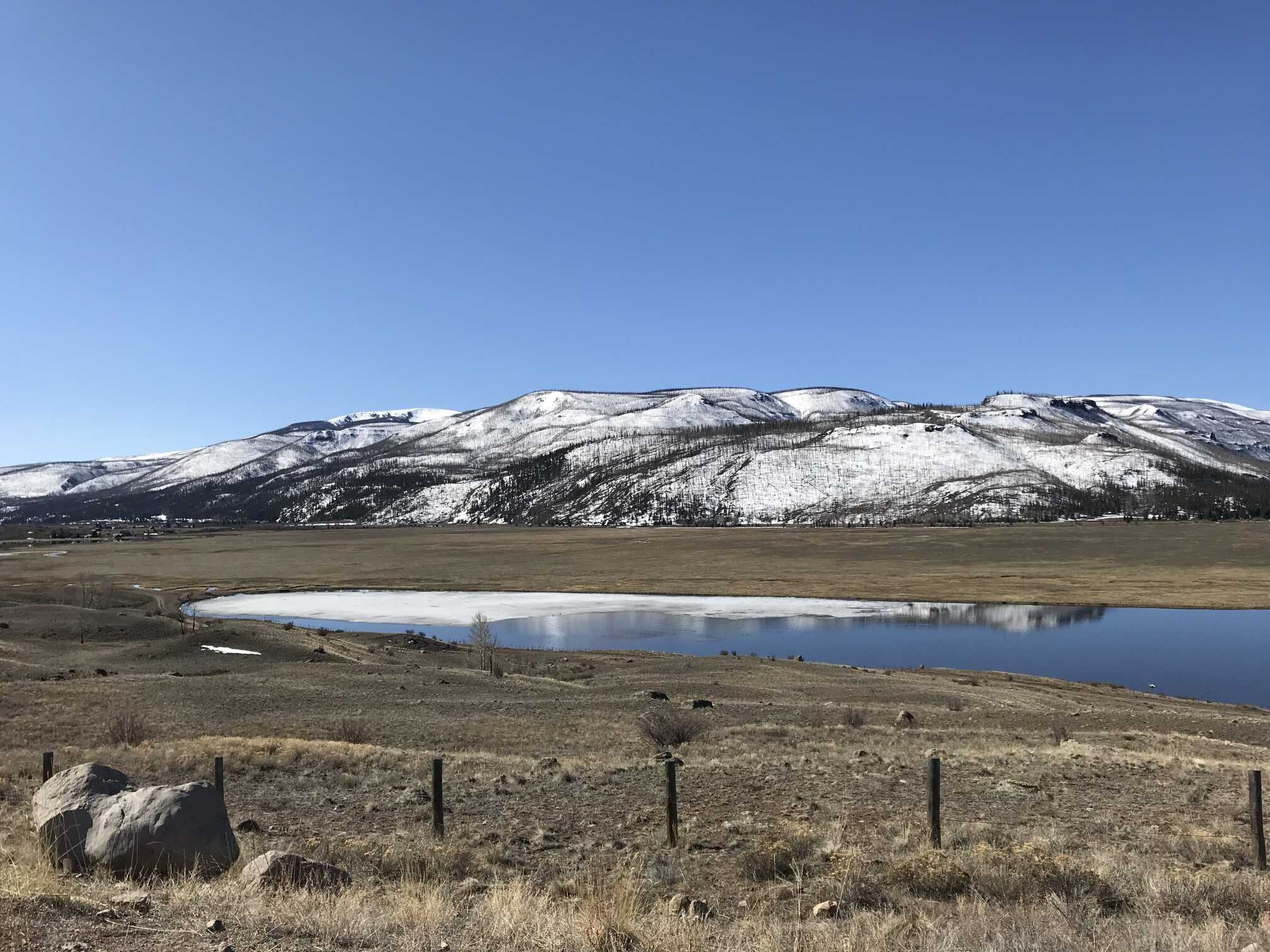
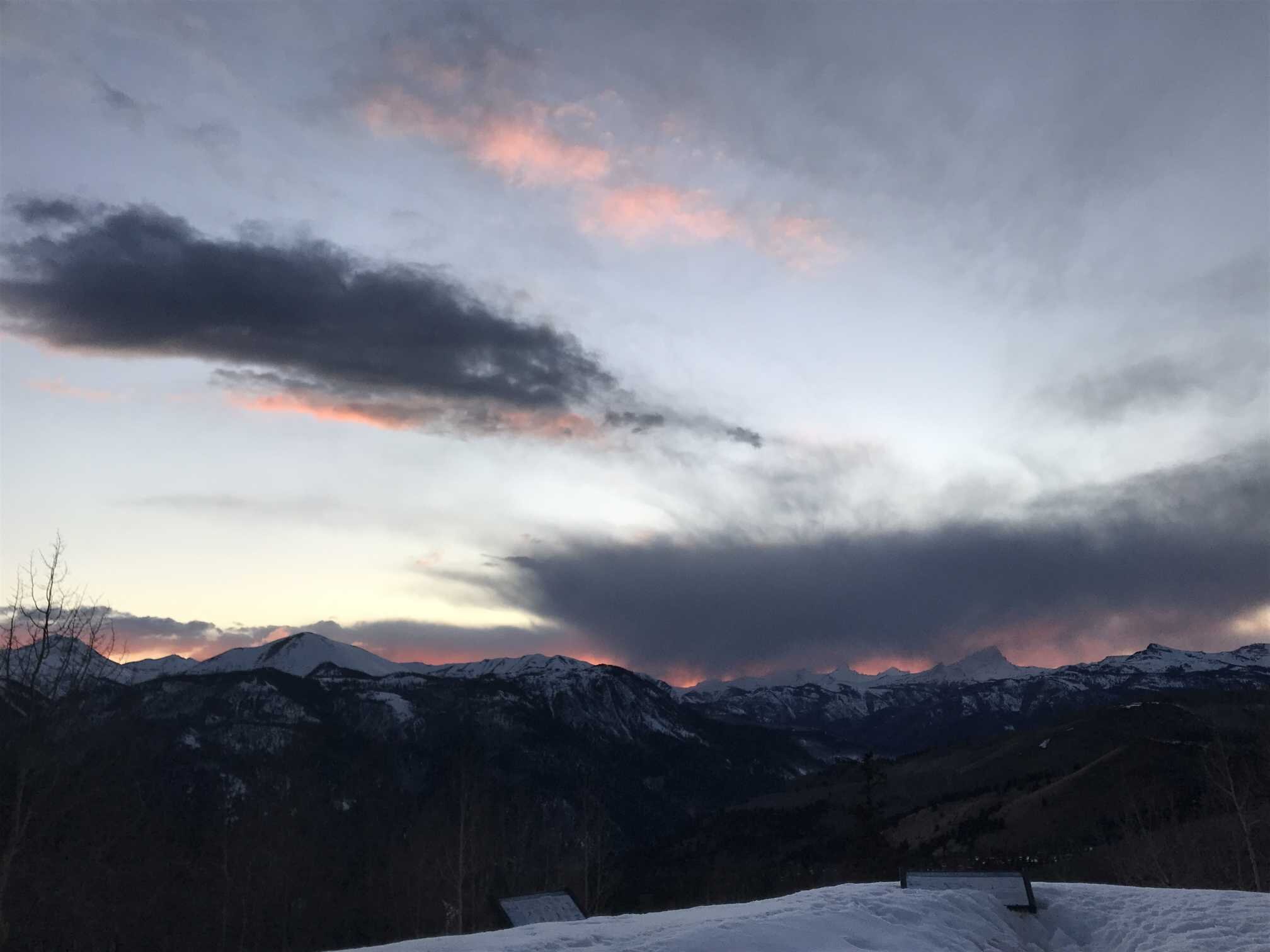
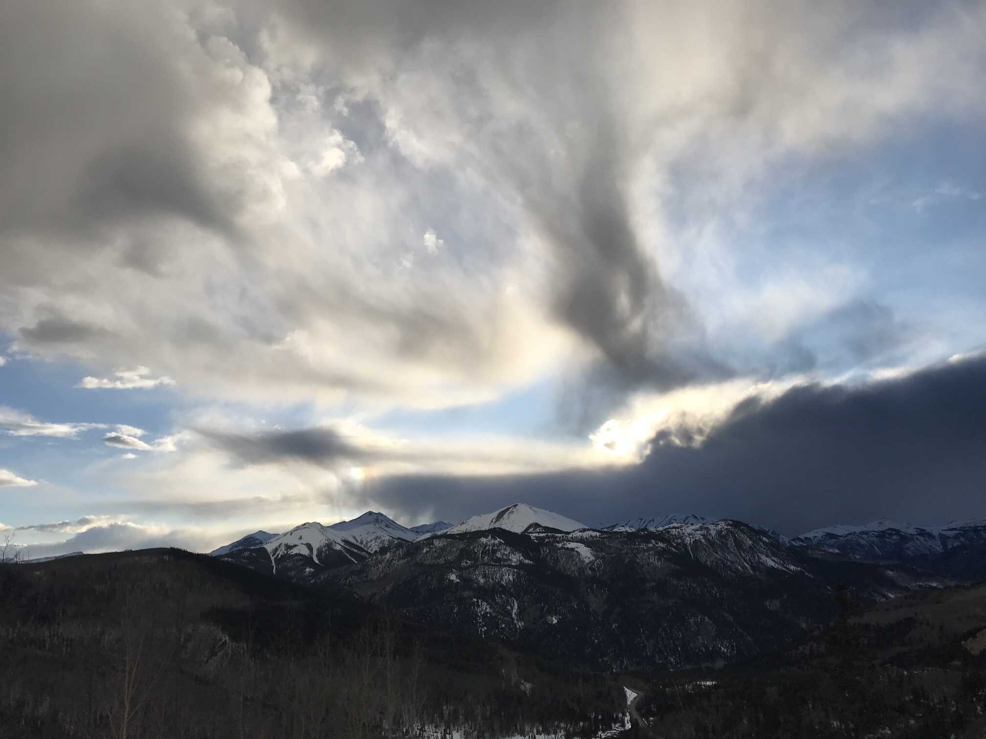
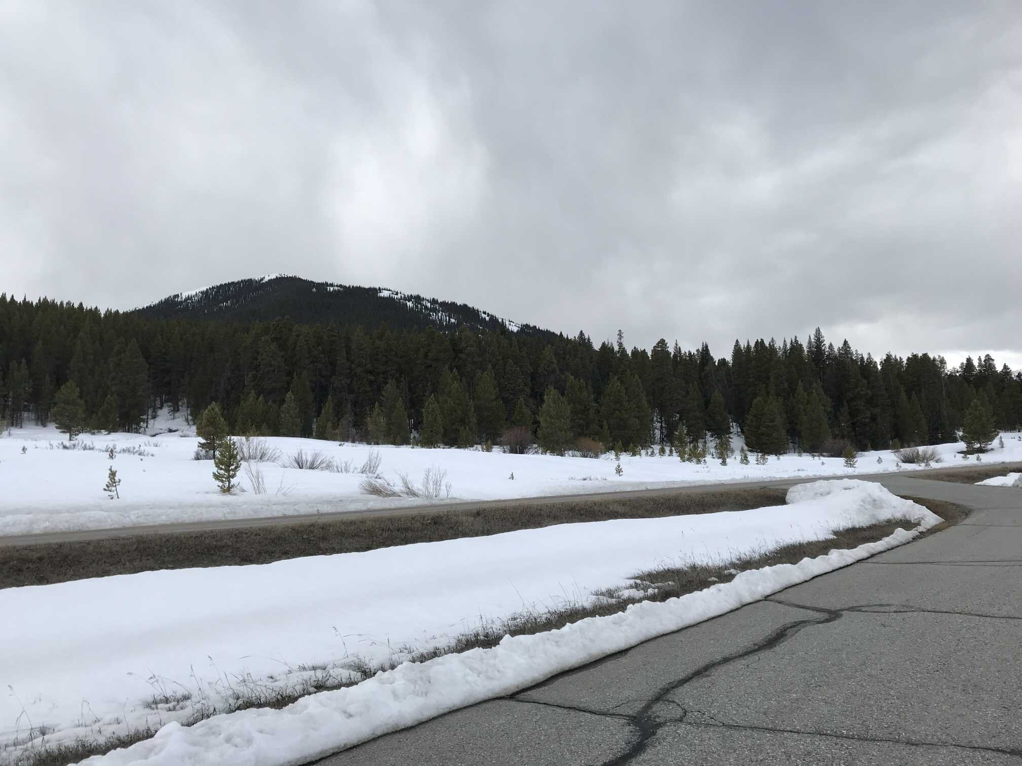
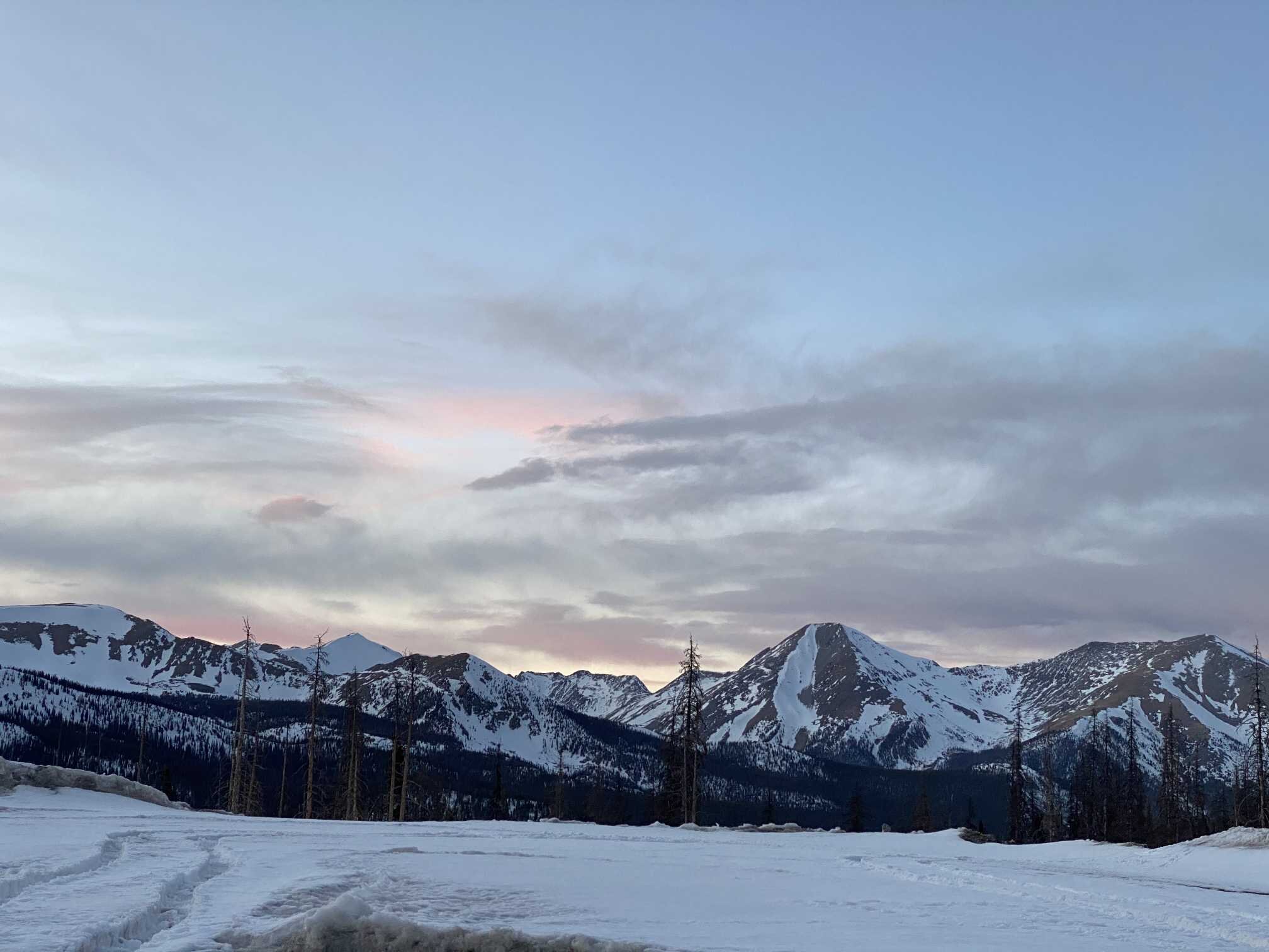
The end of last week and into the weekend we conducted the majority of the April state-wide CODOS tour. We wanted to assess dust-on-snow and snowpack conditions now as most basins have likely hit their peak SWE for the season. The last three weeks have been a bit drier than average towards Southern Colorado as well as the Northern regions but not as severe. We have not issued a winter storm report since the end of March, but we did however receive 0.5” of precipitation early Easter morning with a wet few inches of snow accumulation at SASP. Since the last CODOS tour we have had a number of windy episodes. We reported a light dust event occurring March 26 (D2) and another on April 2 (D3). The most recent event is on the surface of the snow where present in Central and Southern Colorado while the moderate early season dust event occurring mid-January (D1) is still ~2’ beneath the surface at SASP.
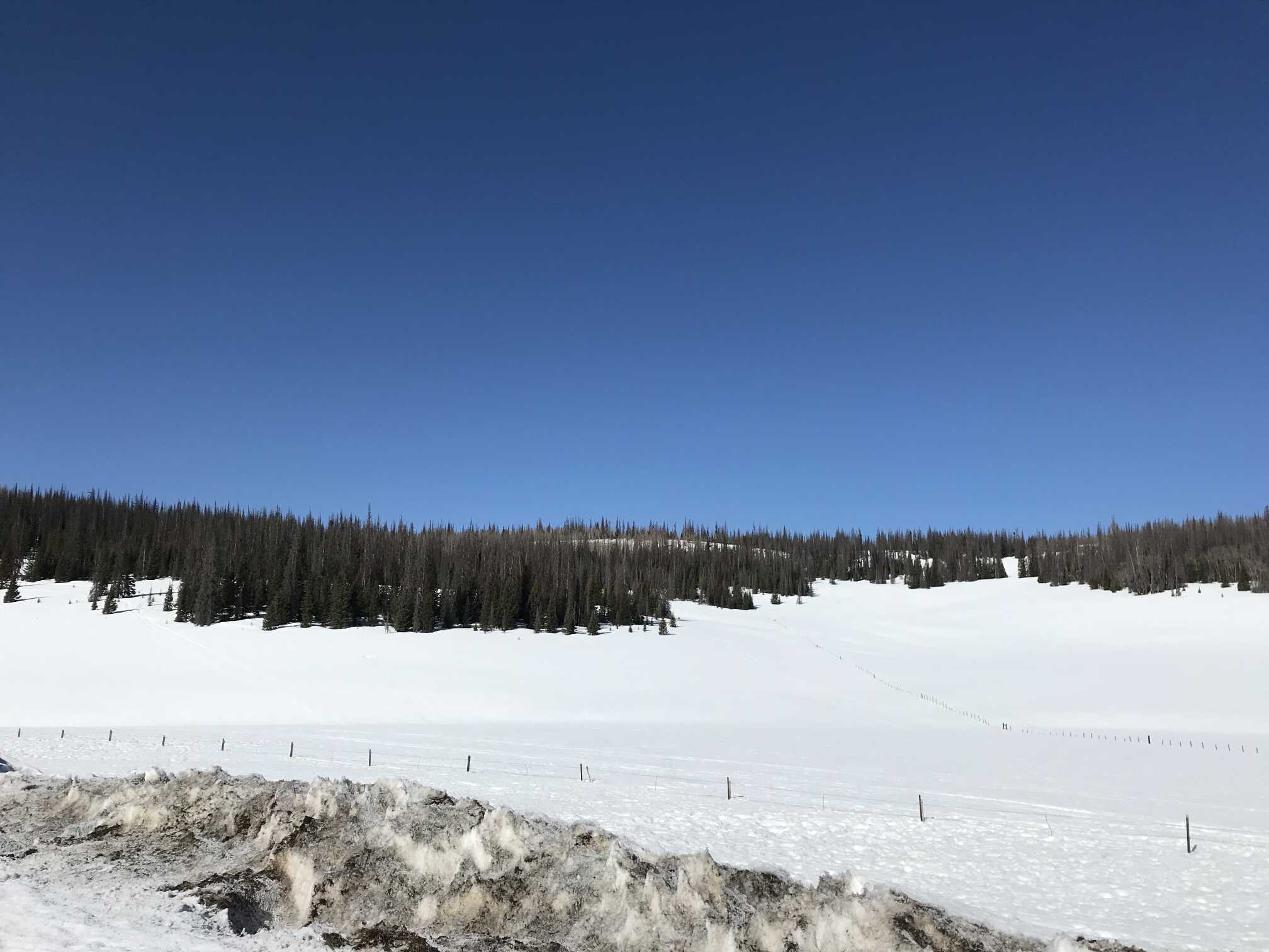
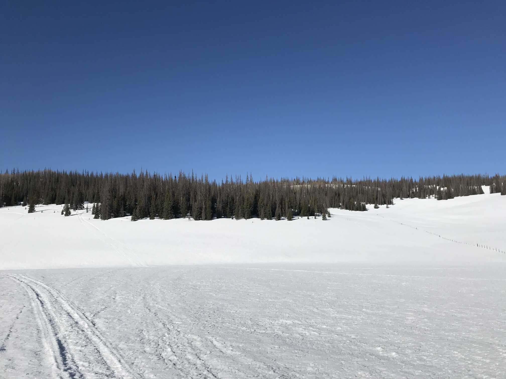
We still need to visit the two most northern monitoring sites, Rabbit Ears Pass and Willow Creek, here in a few days but from what we have observed there is no dust or very light dust at the Front Range sites (Hoosier, Loveland, Berthoud), so possibly this trend will extend to the northern sites. In terms of Central and Southern Colorado, dust presence and intensity increases from the Central (Park Cone, Grand Mesa) to the Southern sites (Wolf Creek, Senator Beck) as is typical.
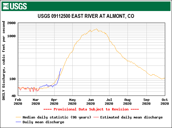
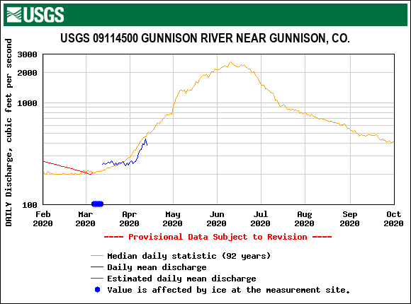
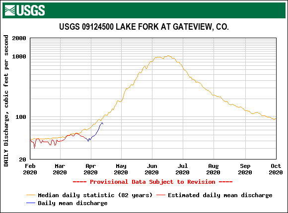
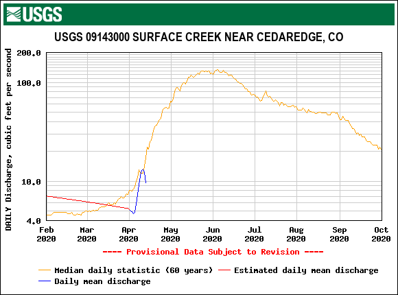
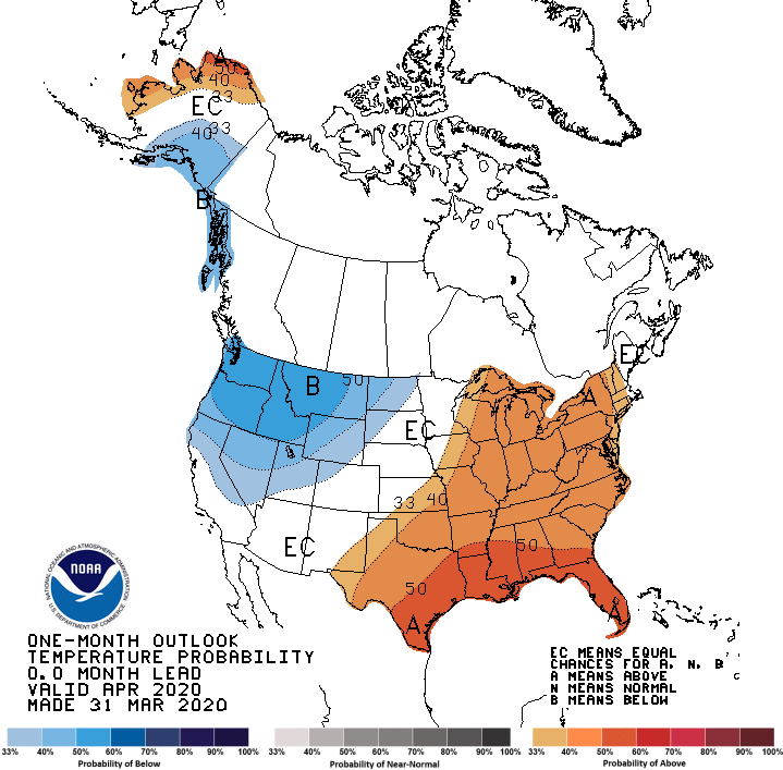
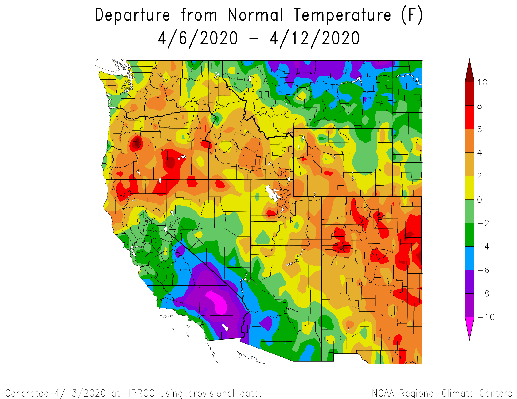
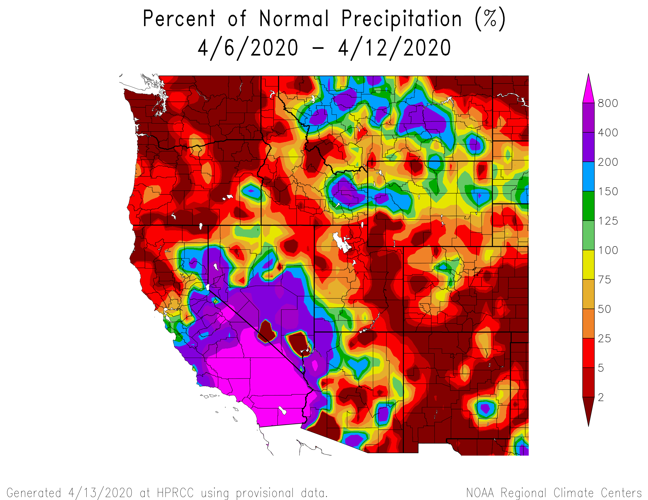
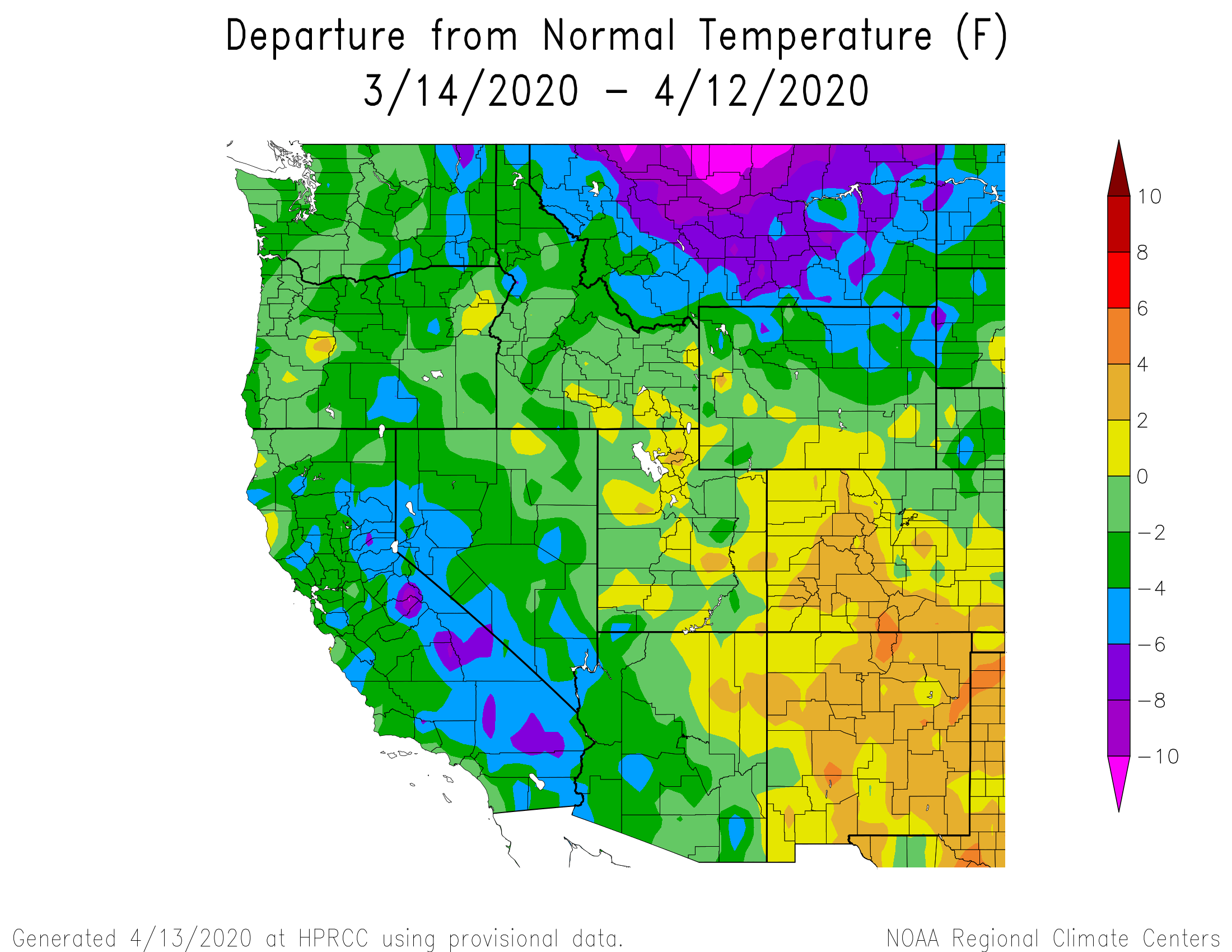
Relative to how much dust normally received, so far this season we are falling under the “minimum” dust category at all CODOS sites. Wolf Creek is inching towards “average” conditions and we will keep an eye on how conditions evolve. Keep in mind that even “minimum” dust classification can have a significant impact on snowmelt - a moderate dust season advances snowmelt 3 weeks early - particularly when the dust is located at the surface of the snowpack early in the spring, as is the case now. For instance, this past week has been very warm and sunny (at least 4 degrees above normal for most of the state), along with dust events D2 and D3 being on the surface the result was enhanced snowpack warming and melt where we saw the first “pop” in streamflows and a dramatic dip in SWE at mostly lower elevation SNOTEL stations. The rapid streamflow rise now appears to be held in check with the Easter storm depositing a thin layer of clean snow temporarily covering dust. And, observations at SASP show that the very cold last few days has re-frozen the upper portion of the snowpack.
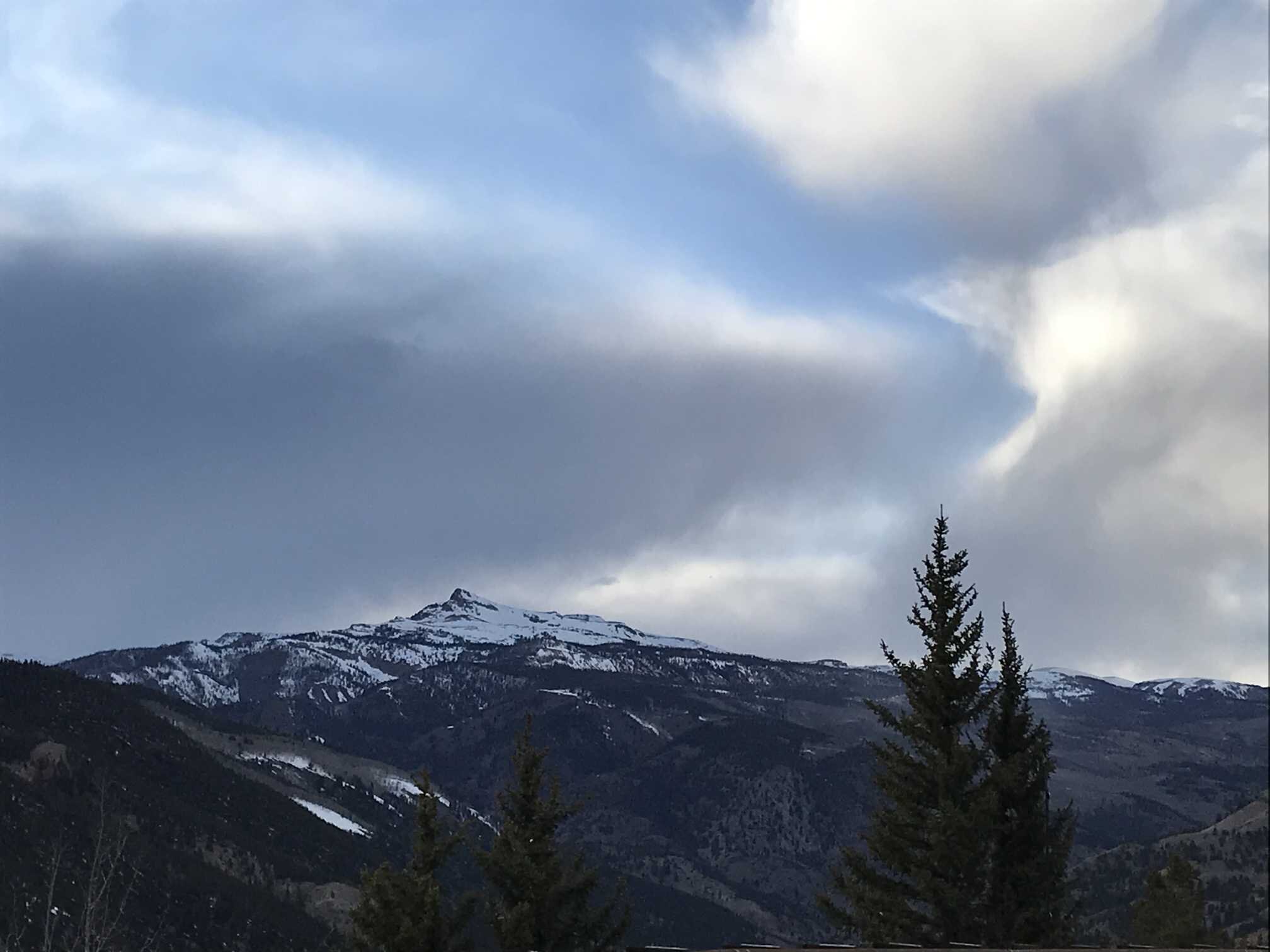
The weather forecast in the near-term looks interesting particularly for Northern Colorado (upwards to a foot of snow Wed thru Thurs). Northwest flow will usher in showers Wednesday morning. Precipitation looks to stay north of I-70 initially then work its way south. On Friday a pacific low is projected to move in from the Desert Southwest bringing more chances of precipitation. The long term forecast also looks promising with an “active weather pattern” where the Southern San Juans could be favored once the closed low passes across the region this weekend as another system is forming off the west coast. These weather systems if they produce snowfall will not only add to the snowpack but also provide an albedo reset which will help arrest snowmelt.
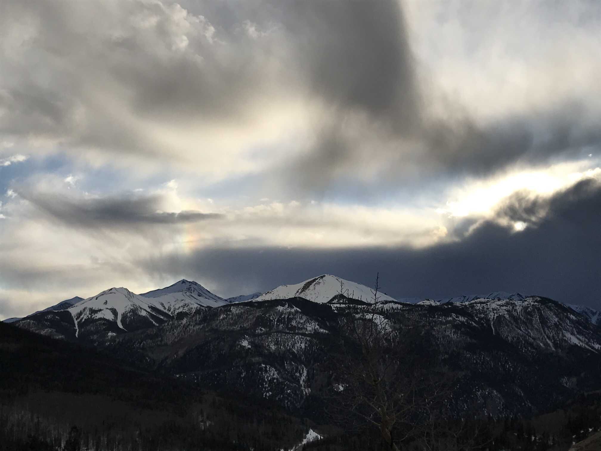
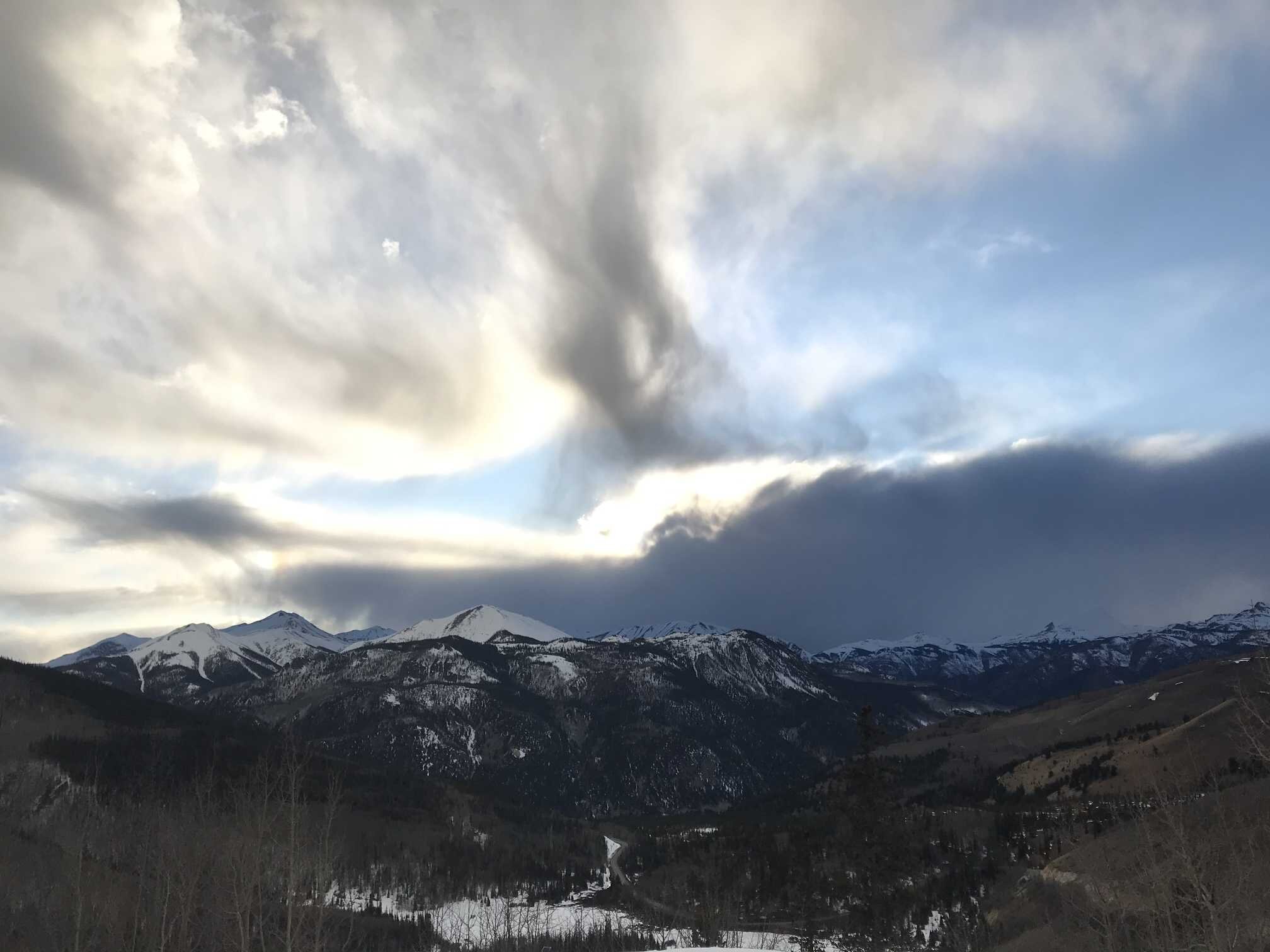
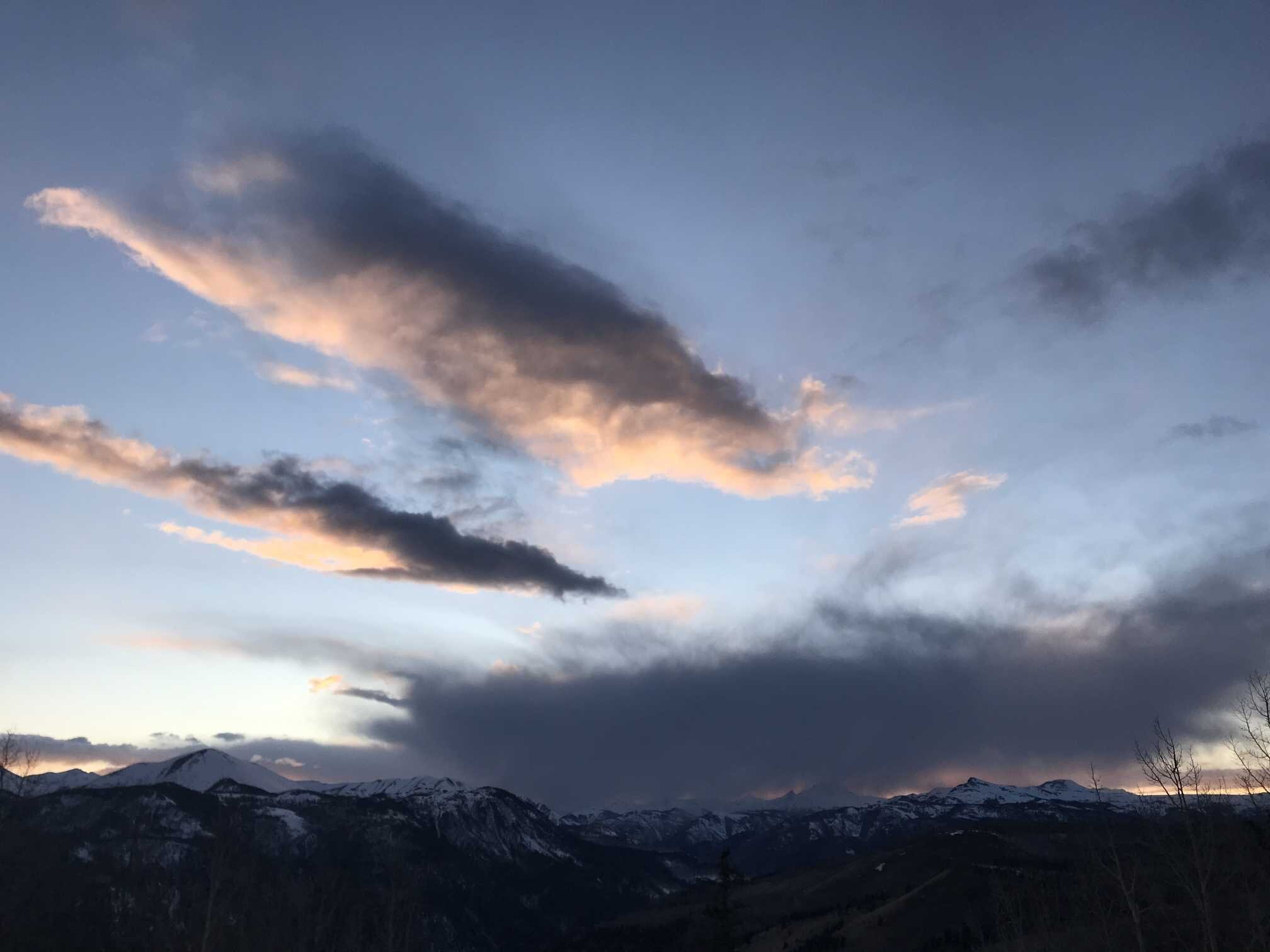
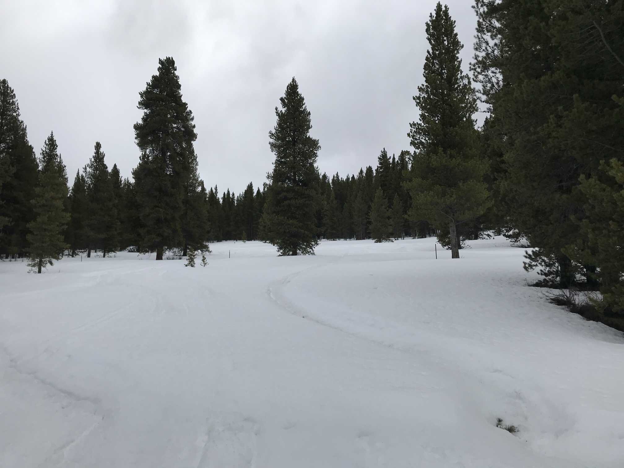
Please see individual CODOS site comments and pictures below and also SNOTEL and streamflow graphs.
Western Water Assessment released a state-of-the-science report for the Colorado River Basin Climate and Hydrology. A must read if you want to keep up on the current science in the Basin. A document you want on your desktop for quick reference.

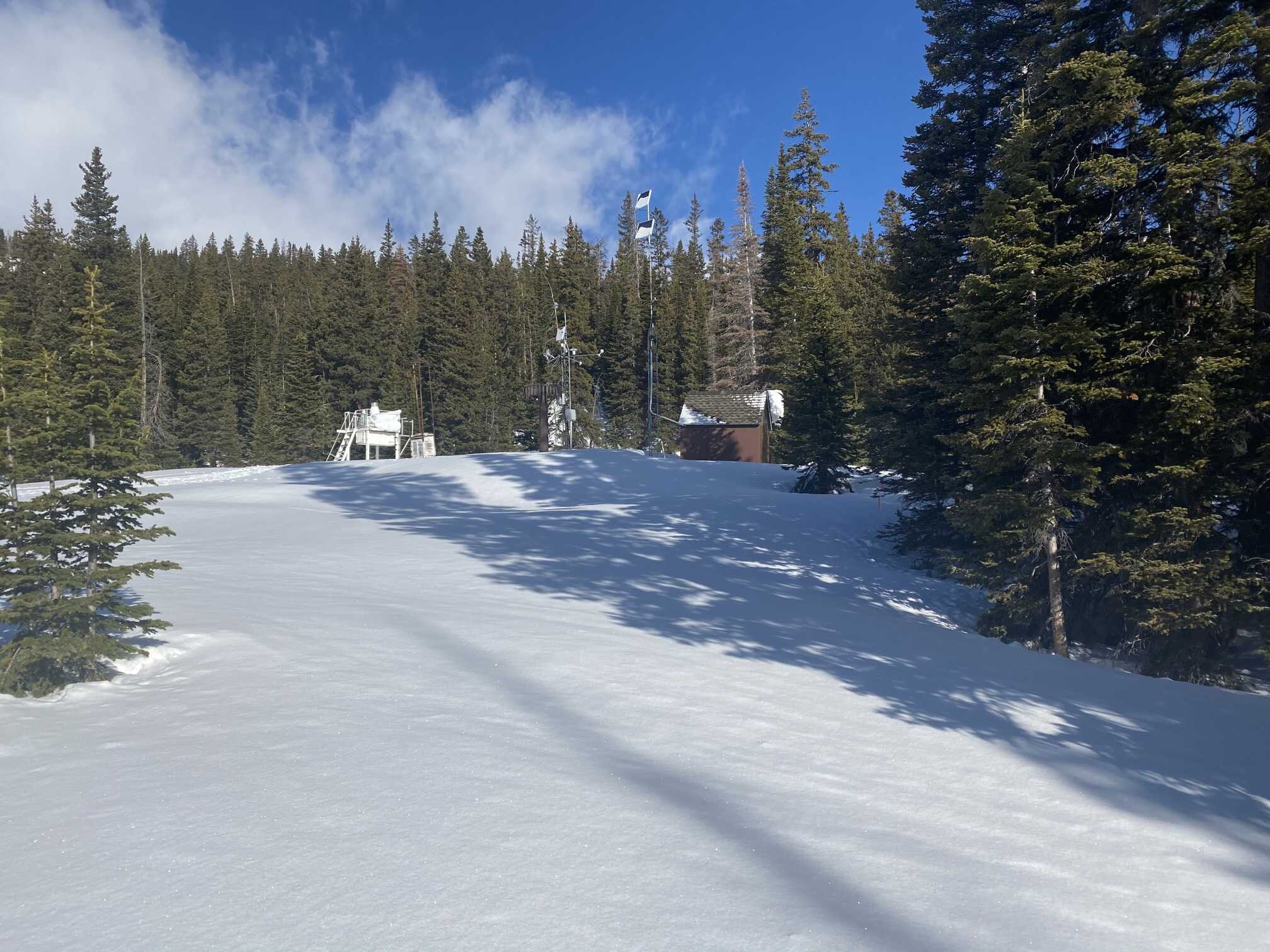
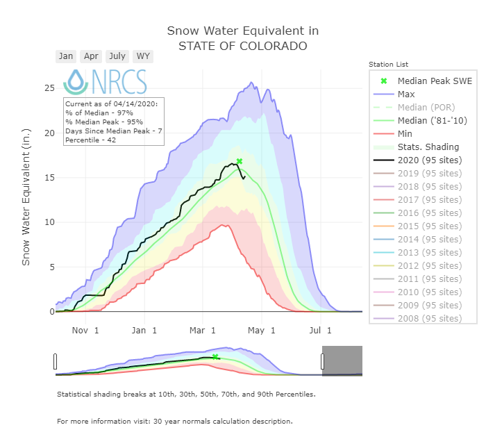
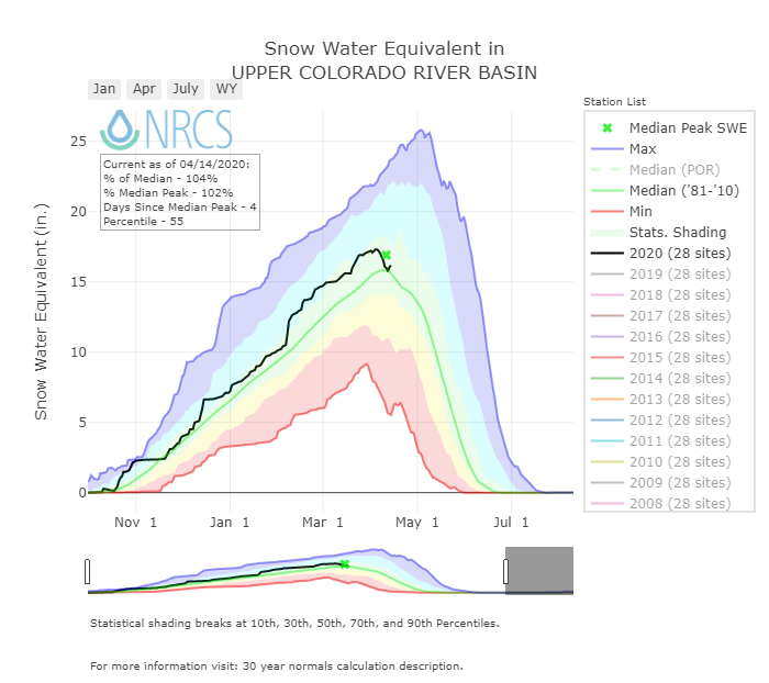
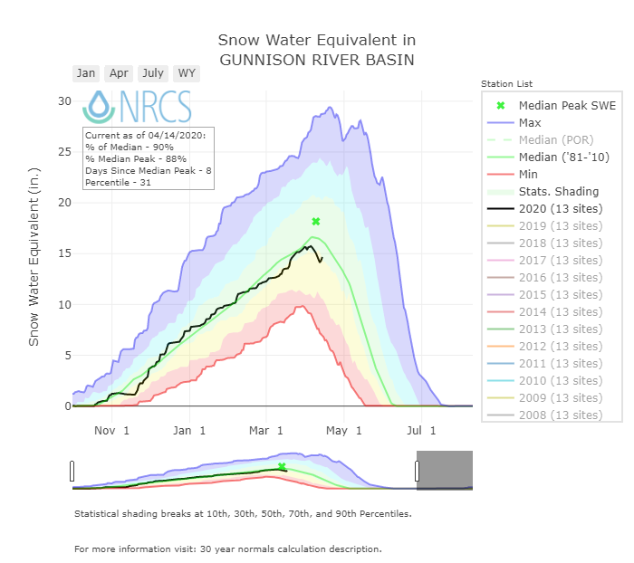
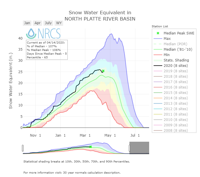
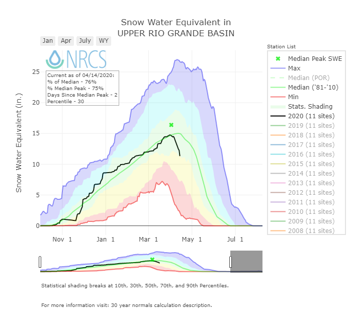
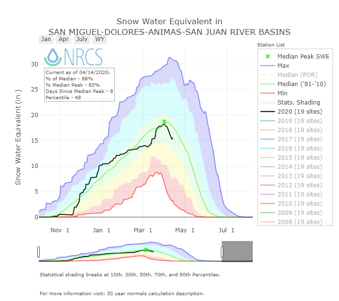
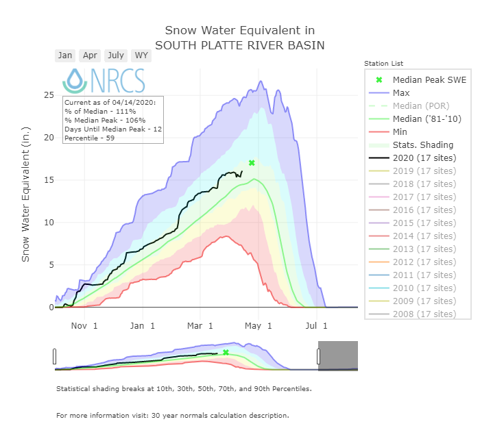
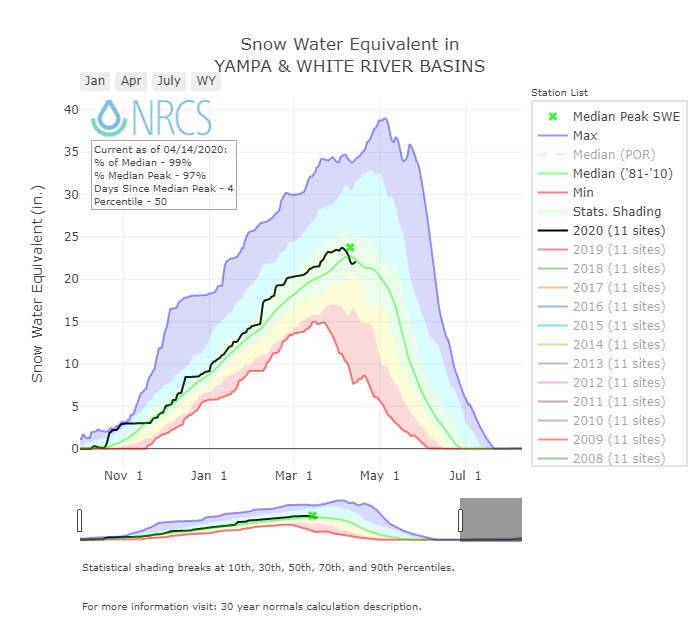
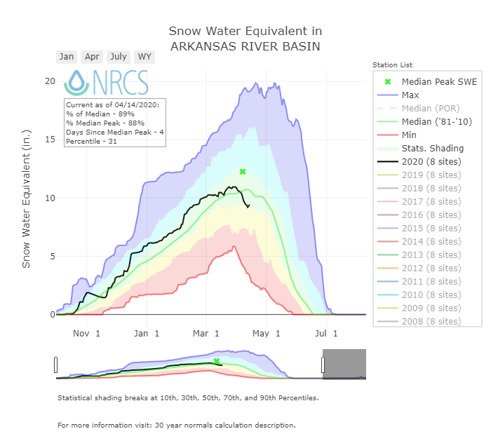
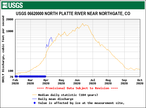
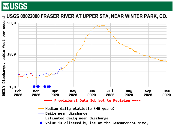
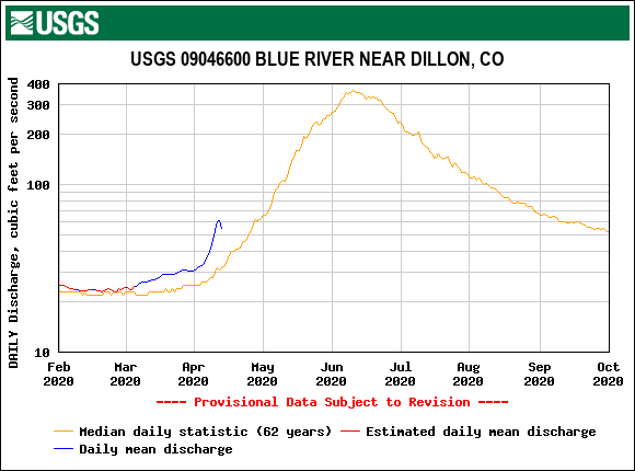
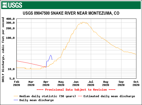
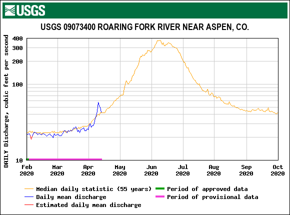
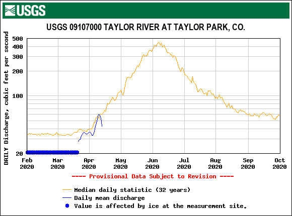
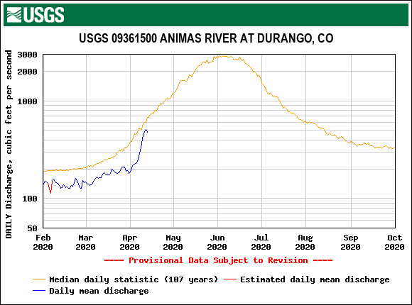
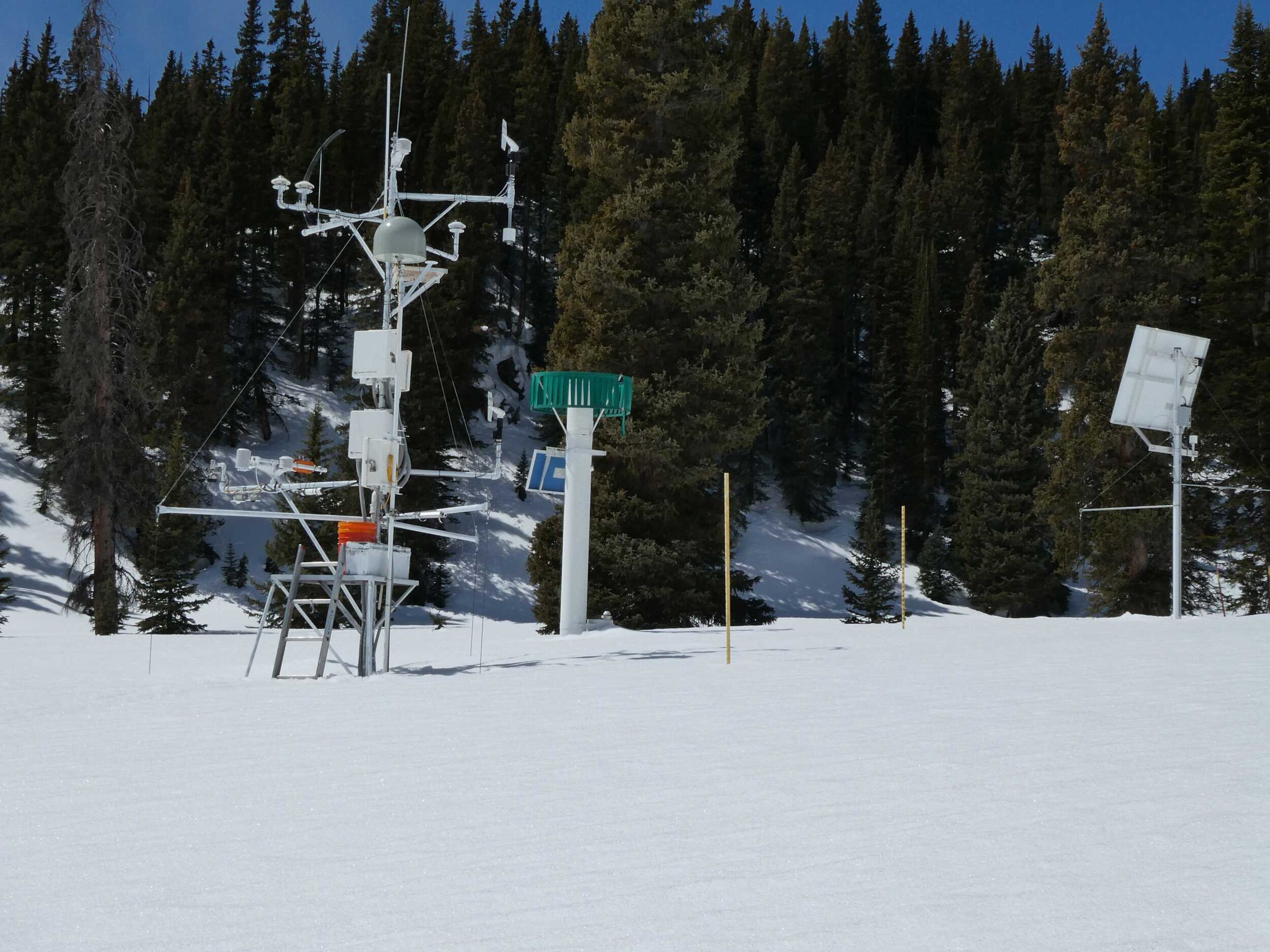
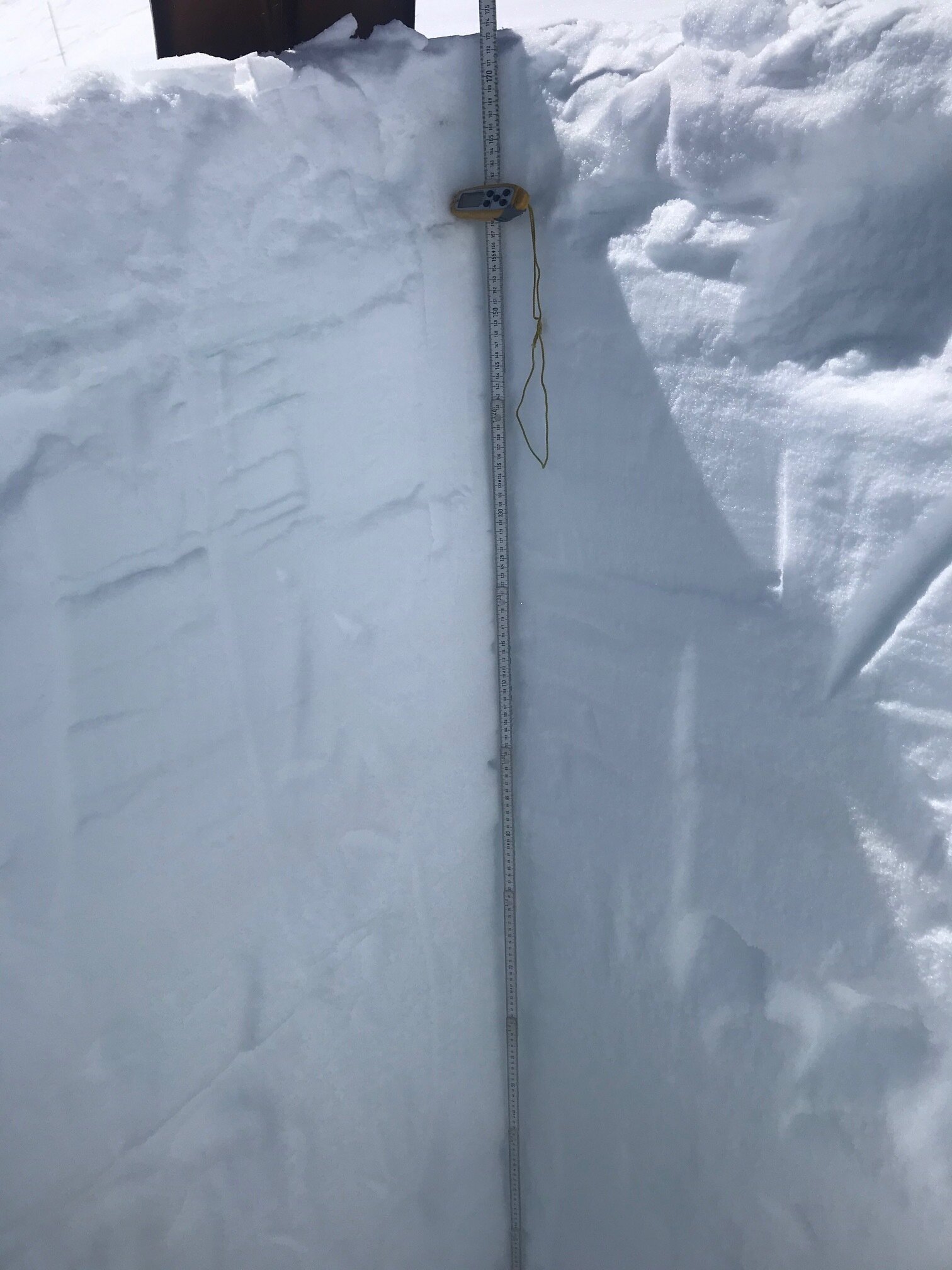
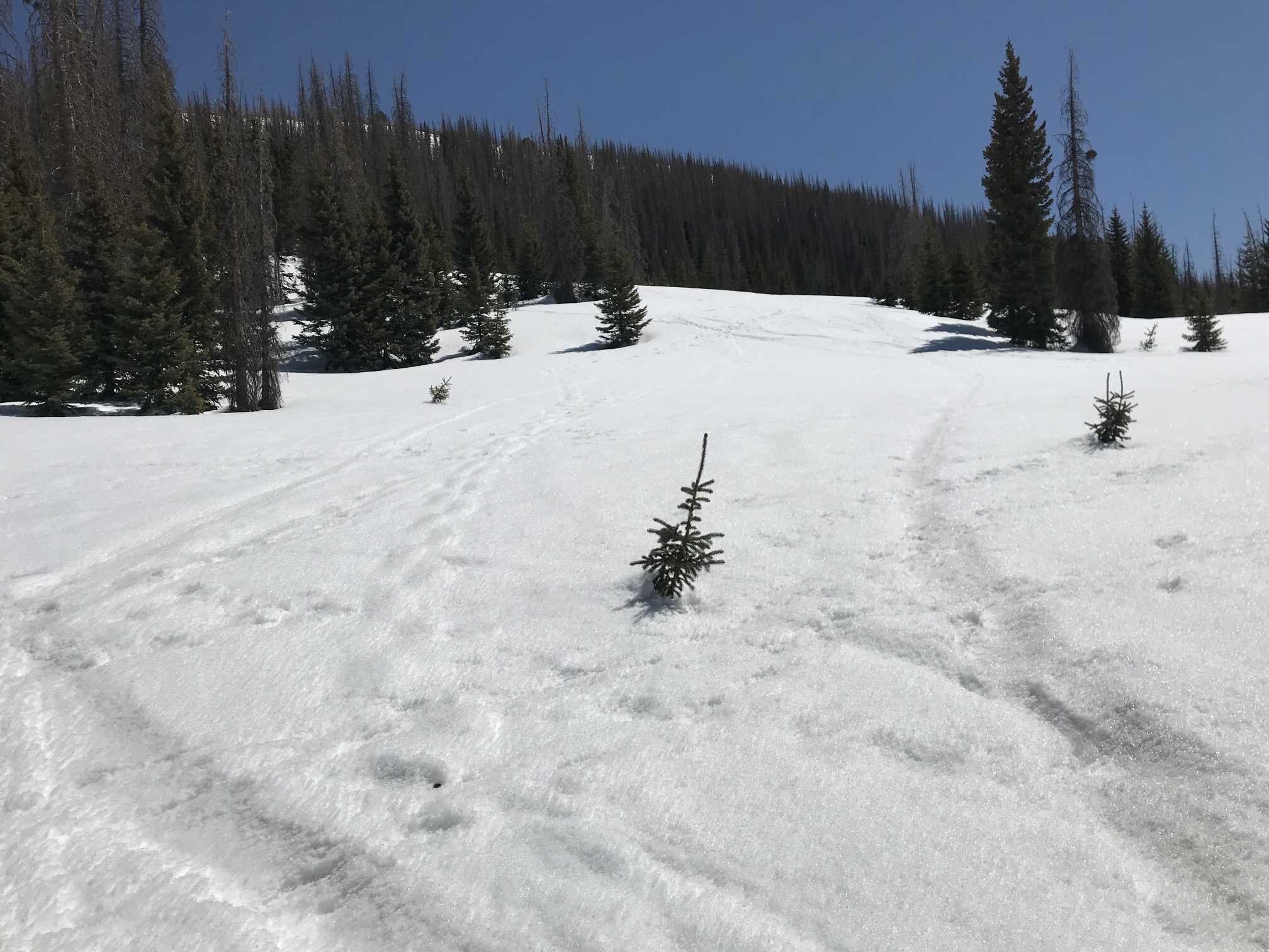
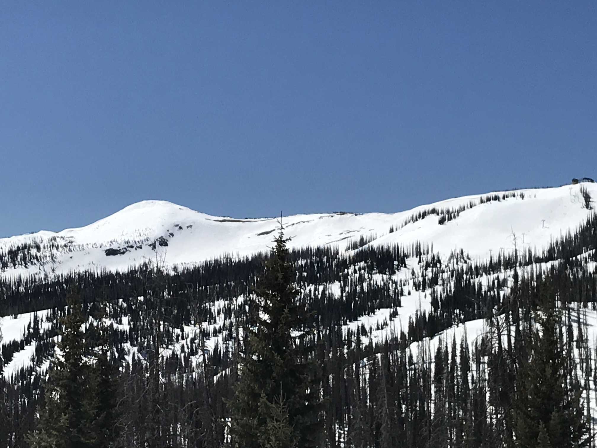
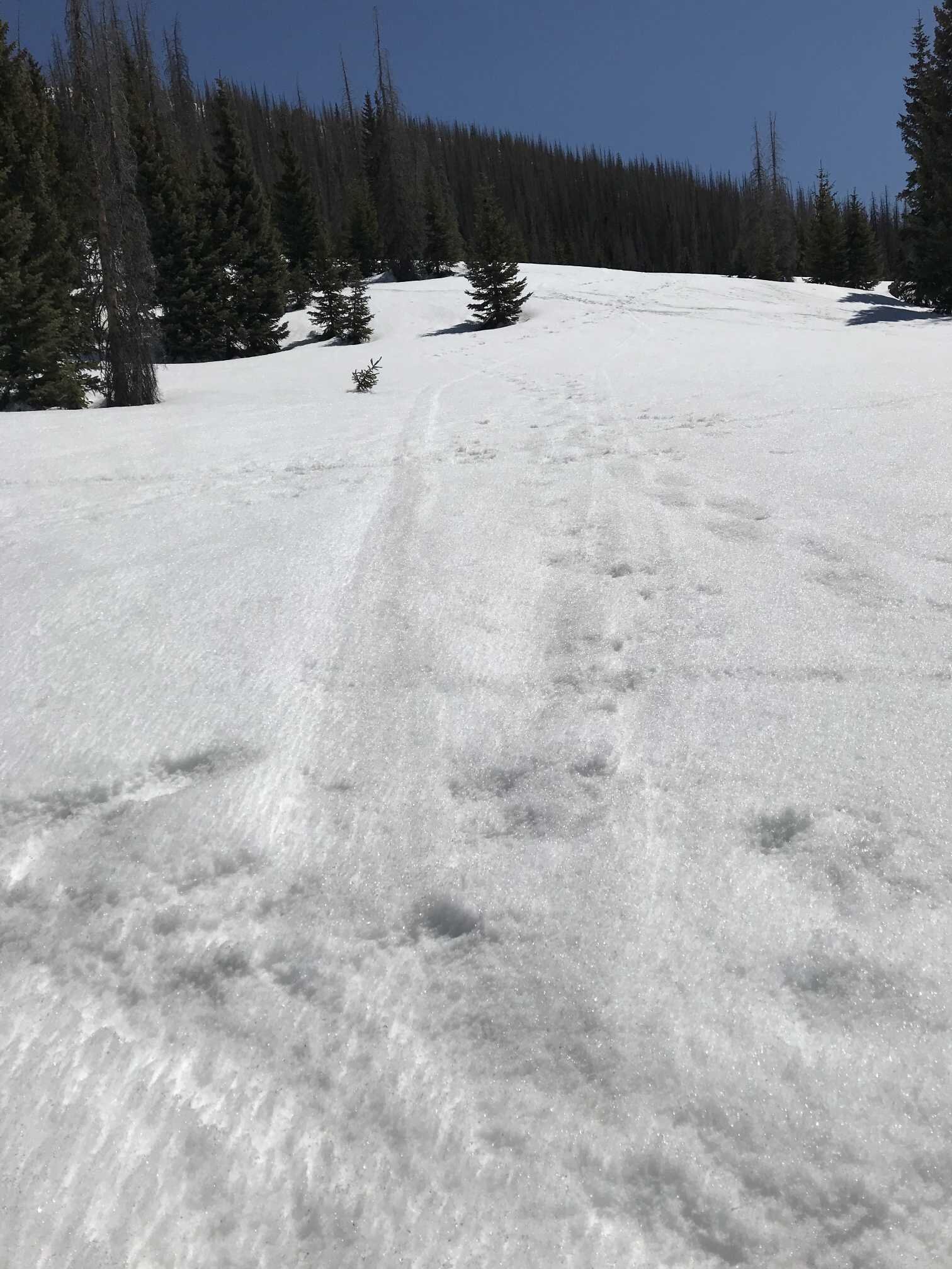
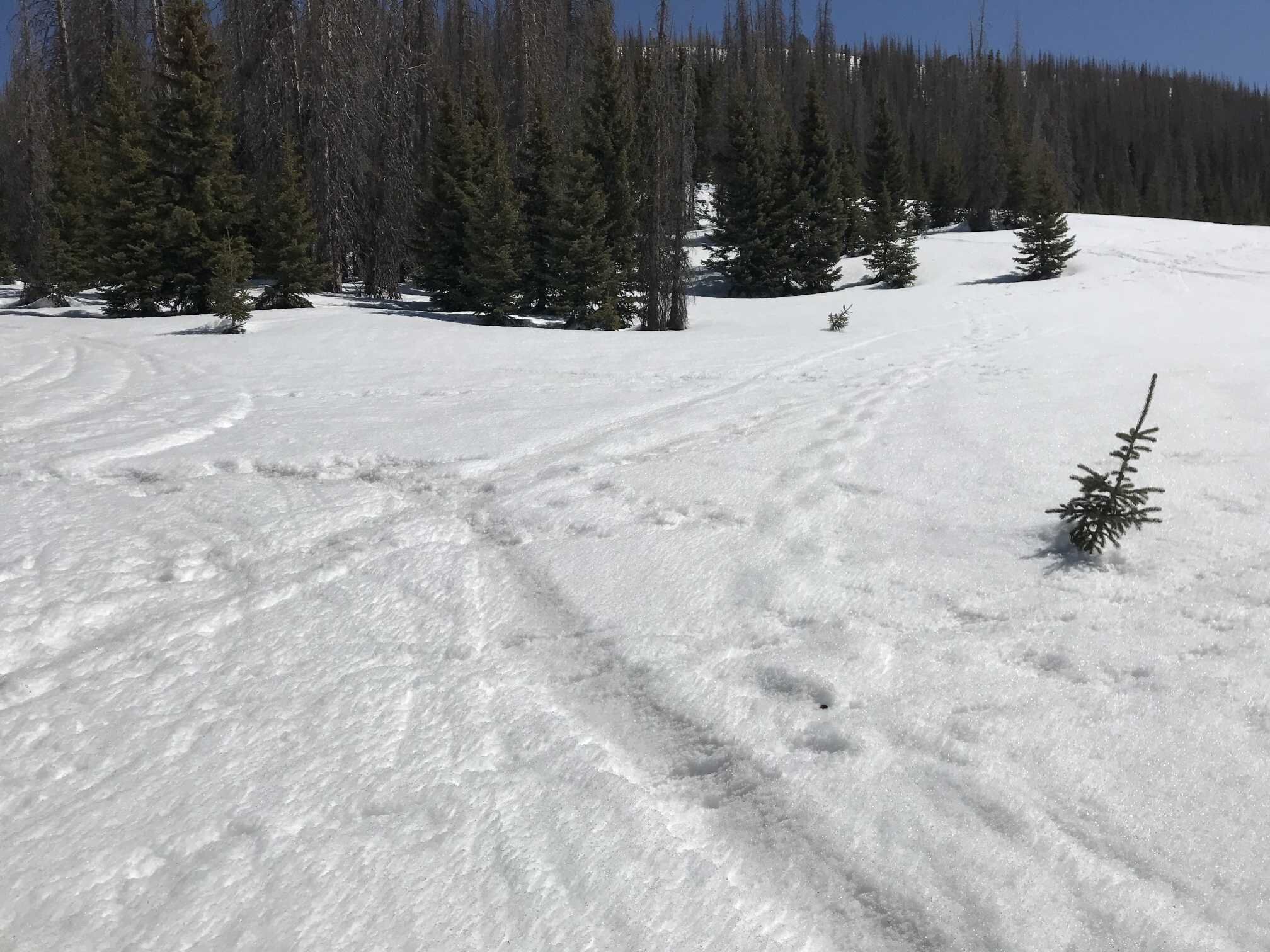
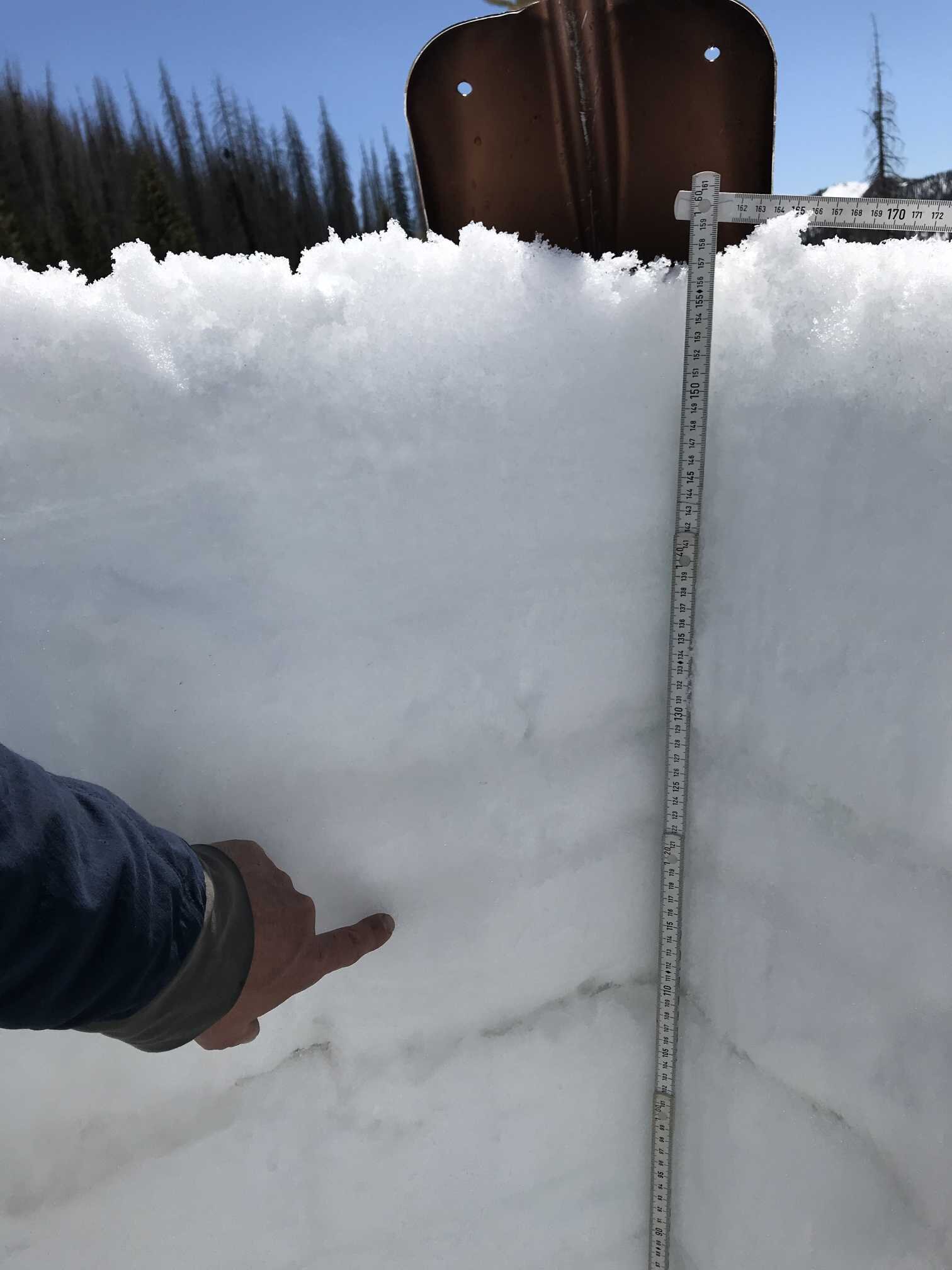
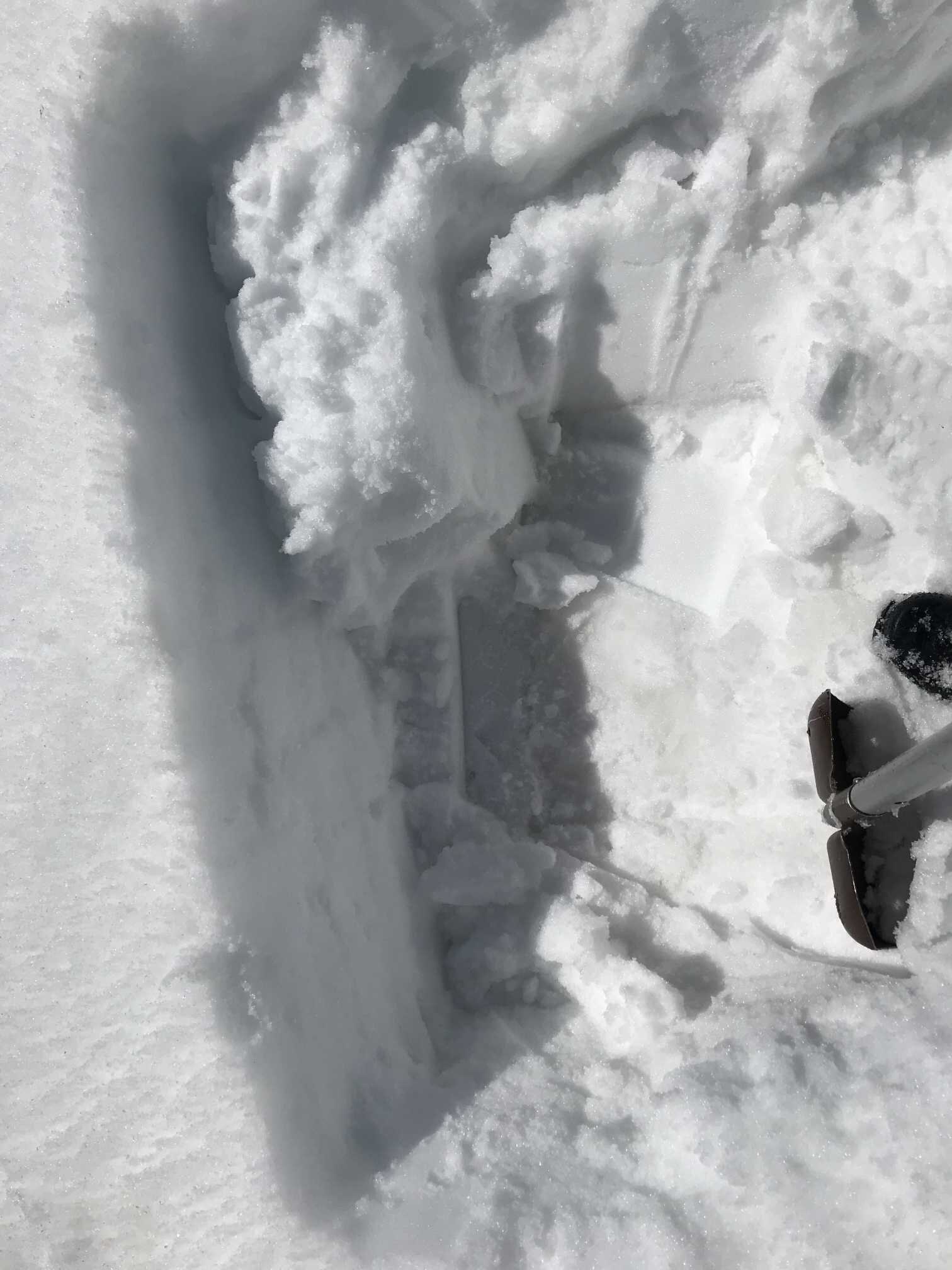
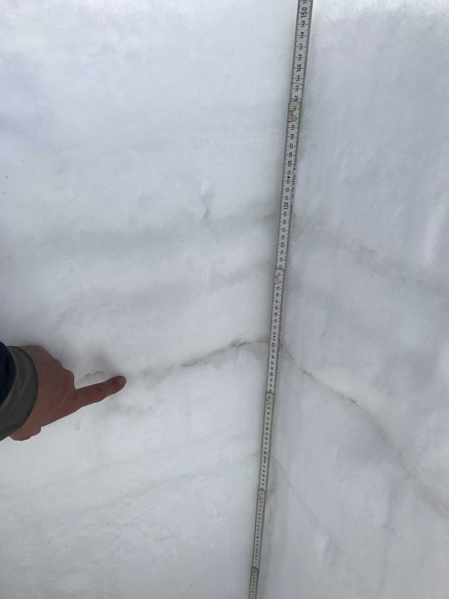
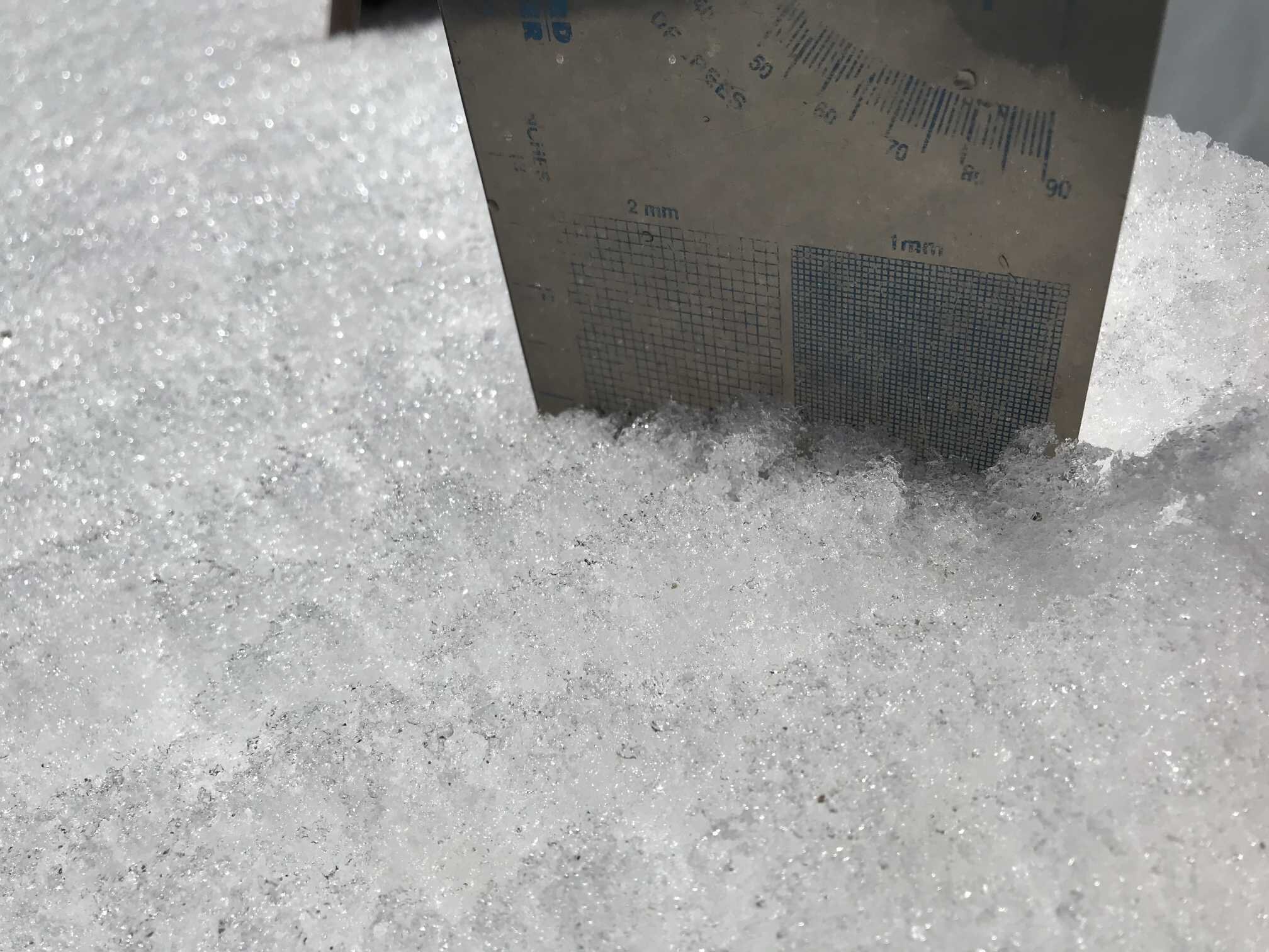
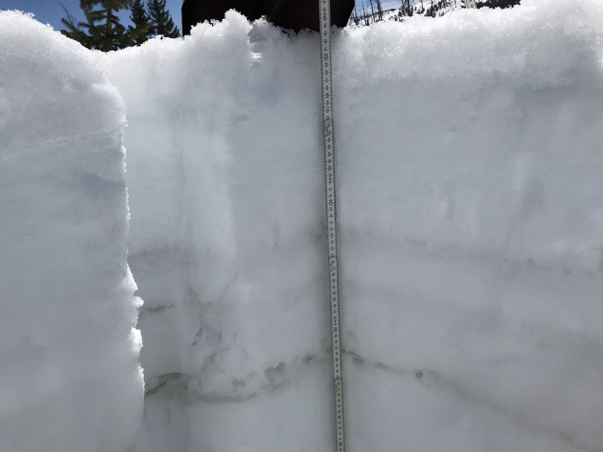
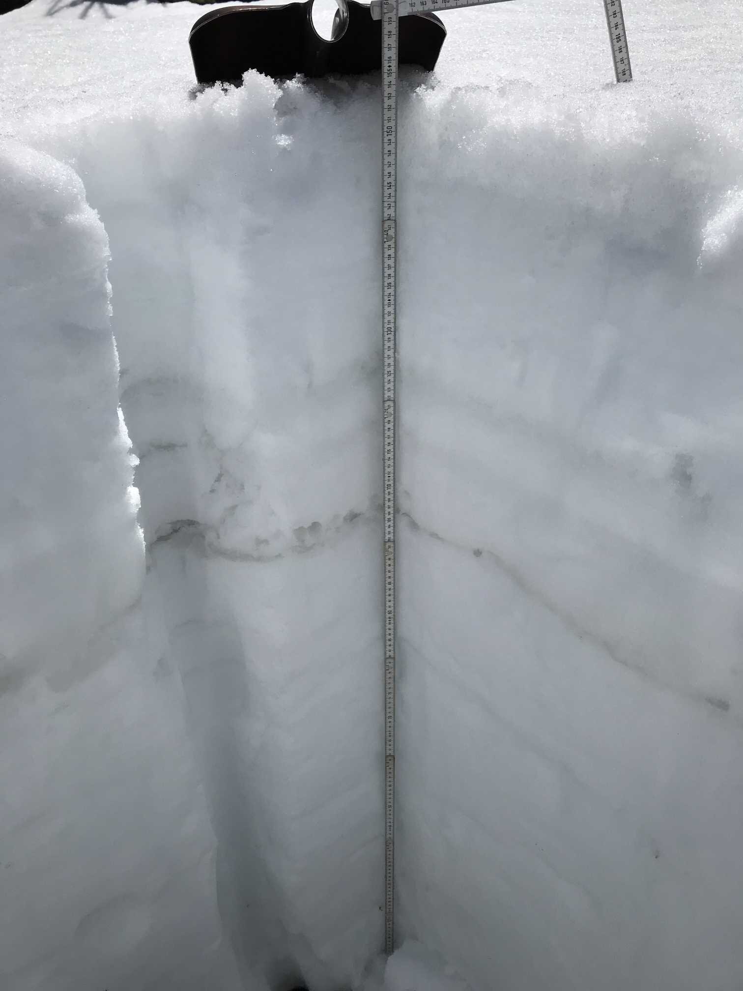
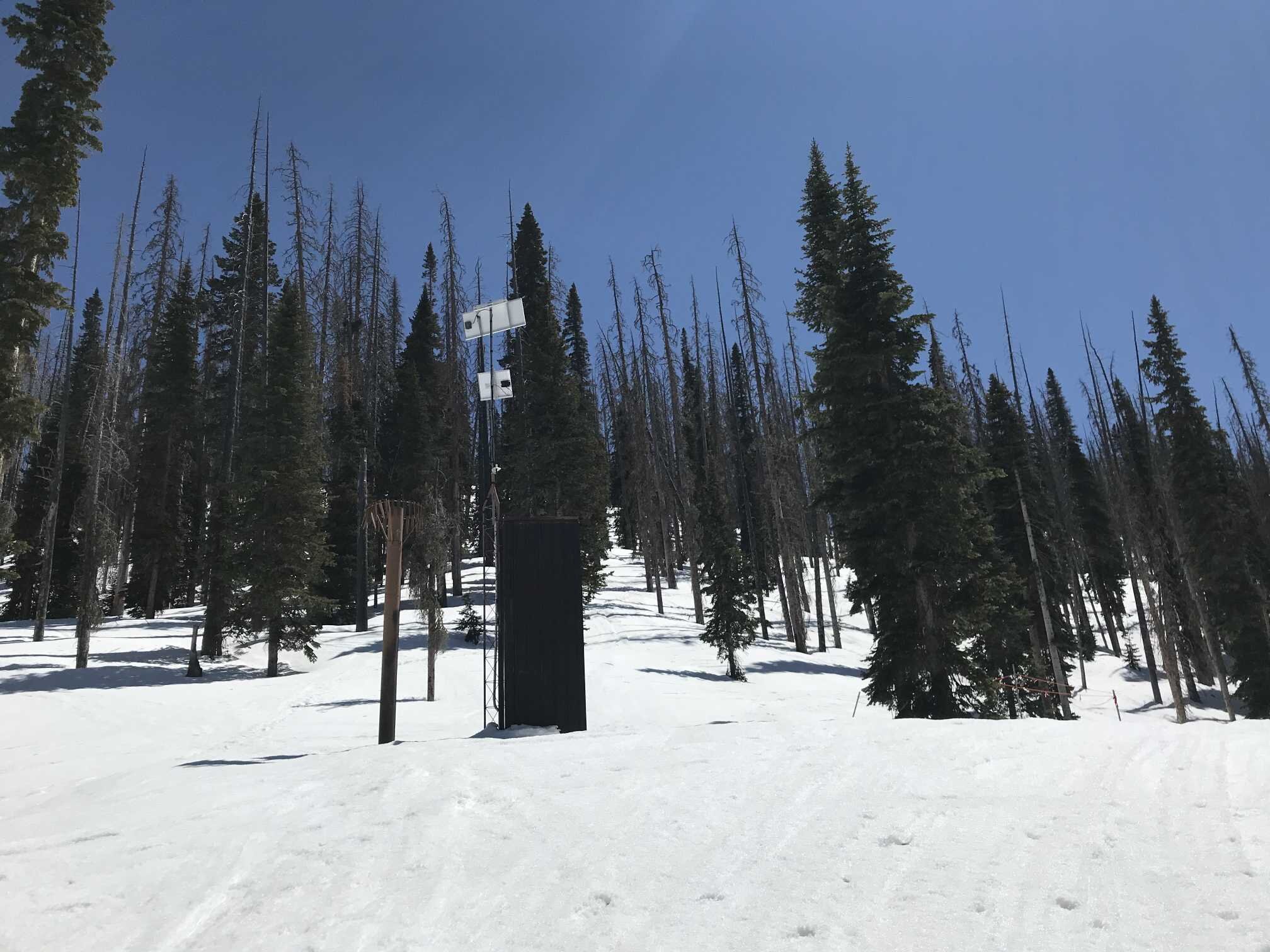
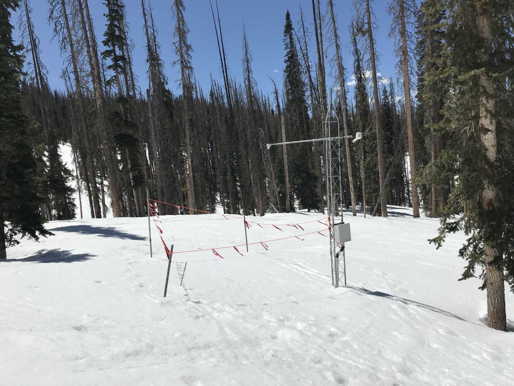
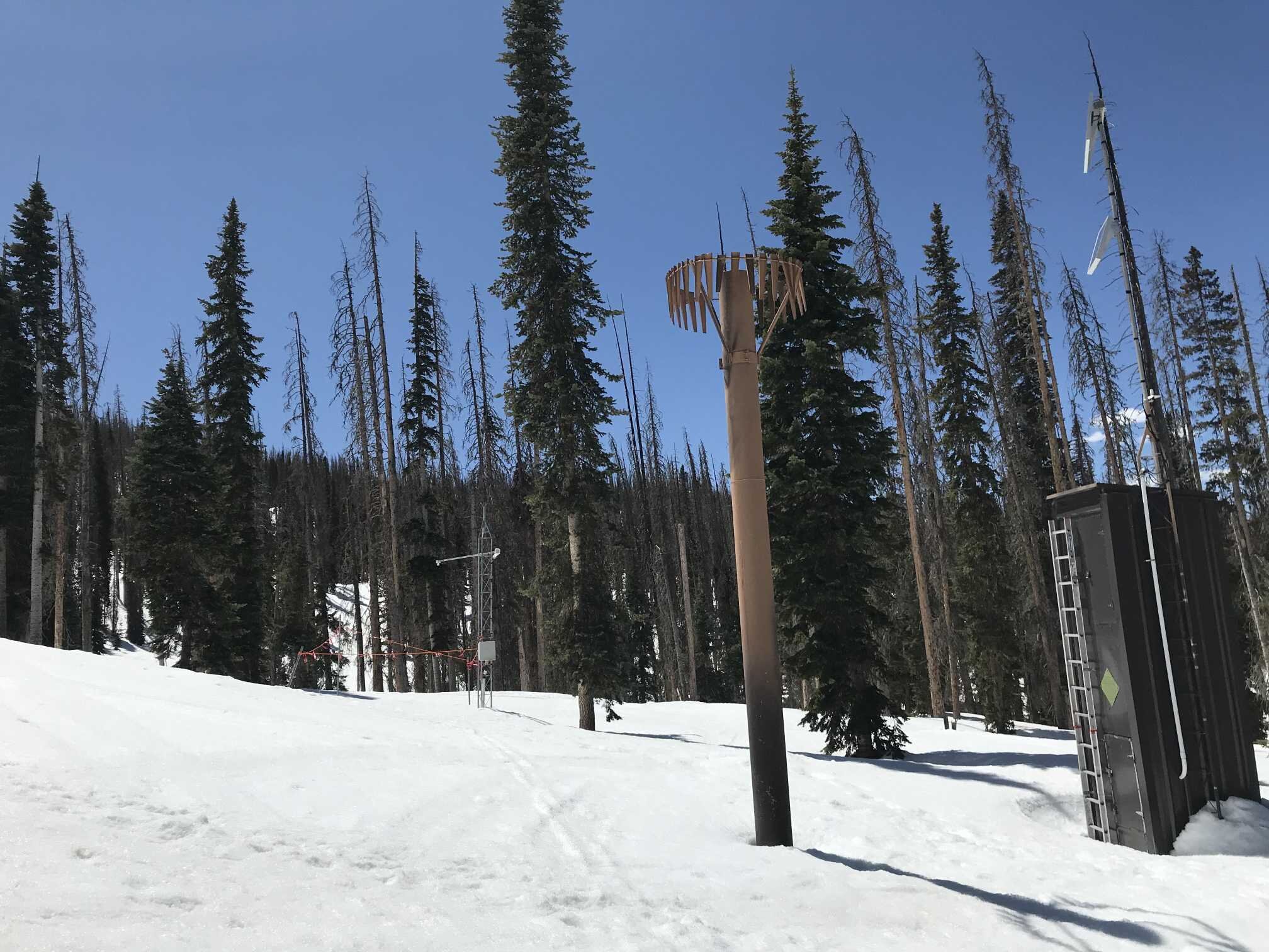
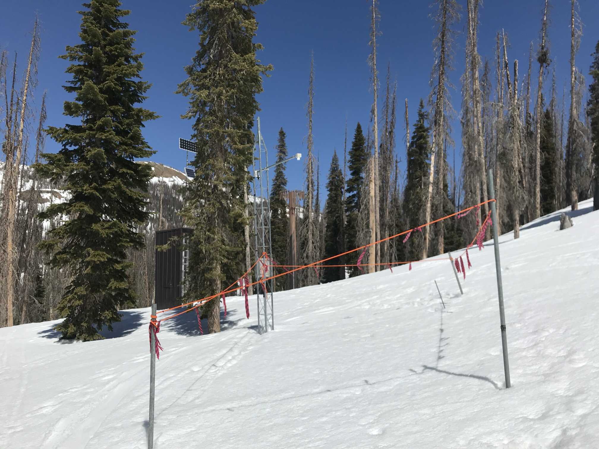
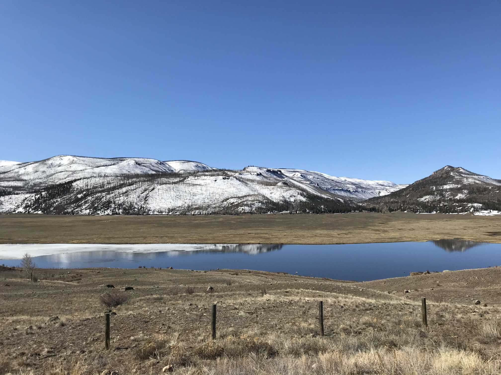
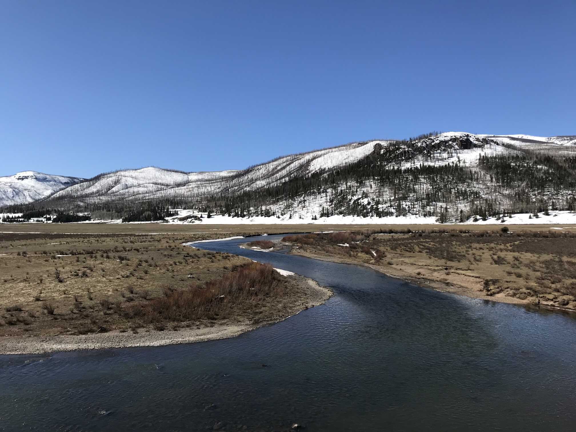
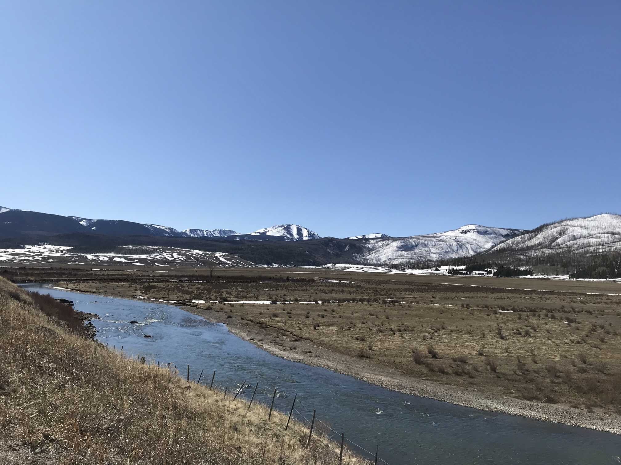
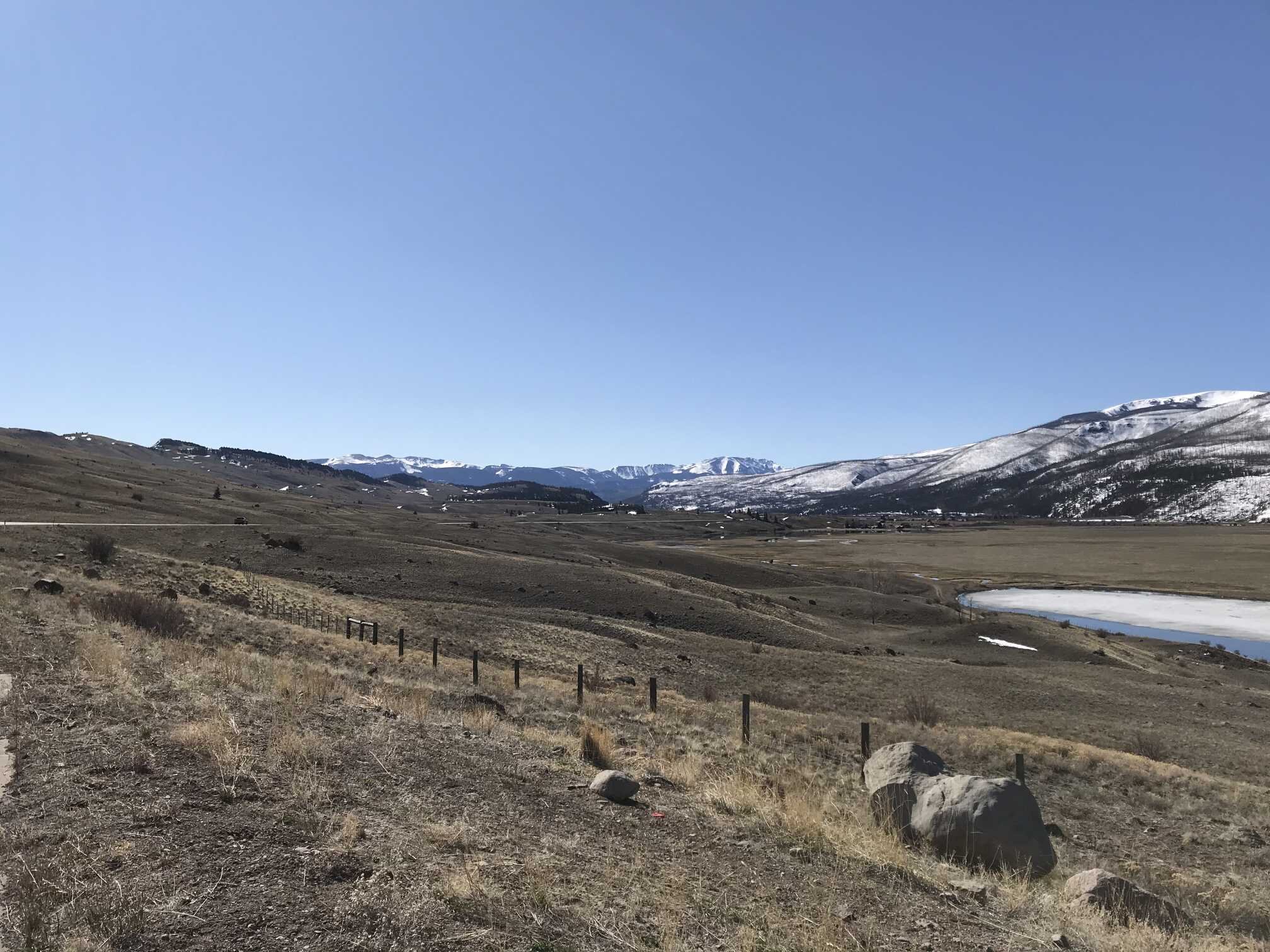
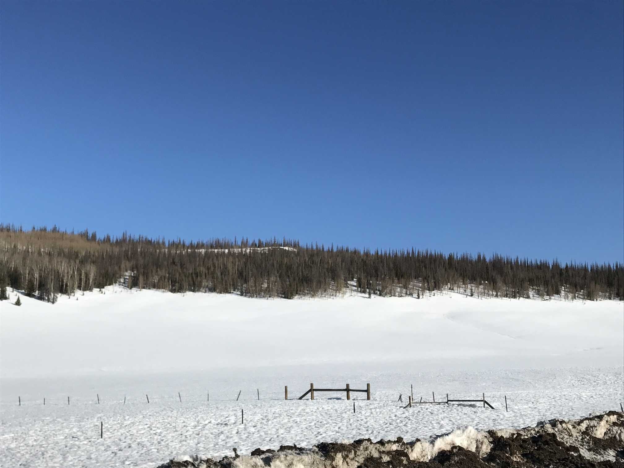
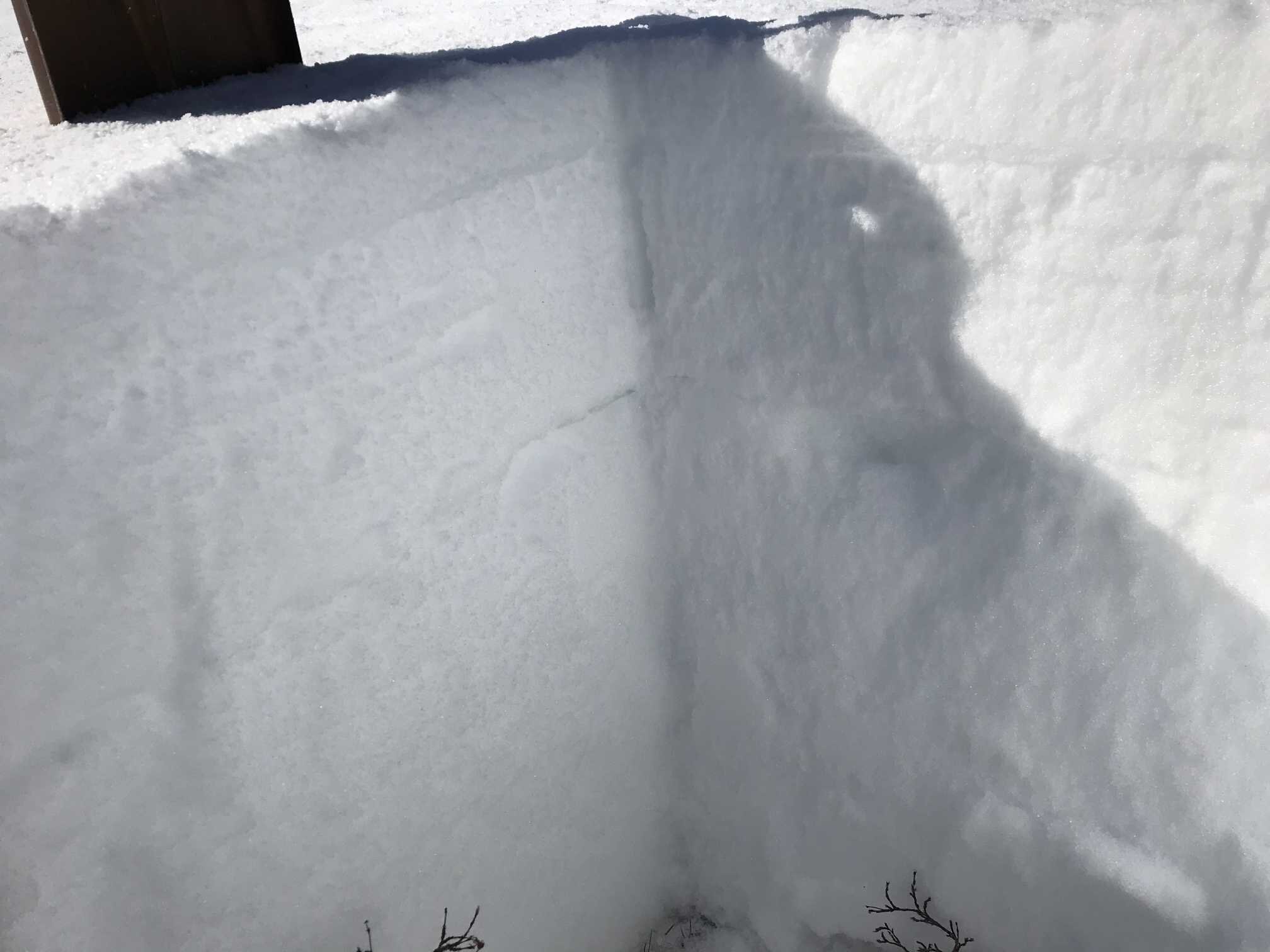
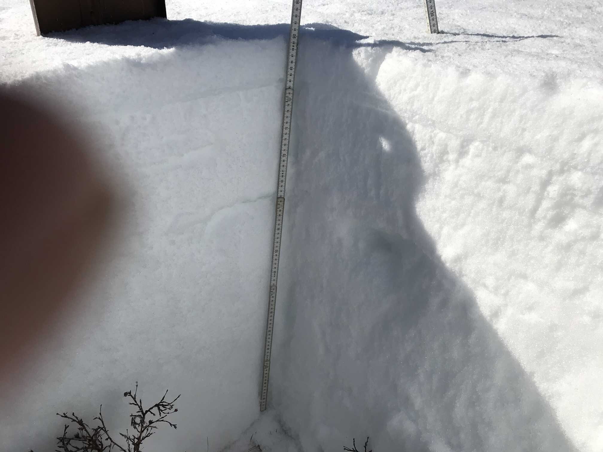
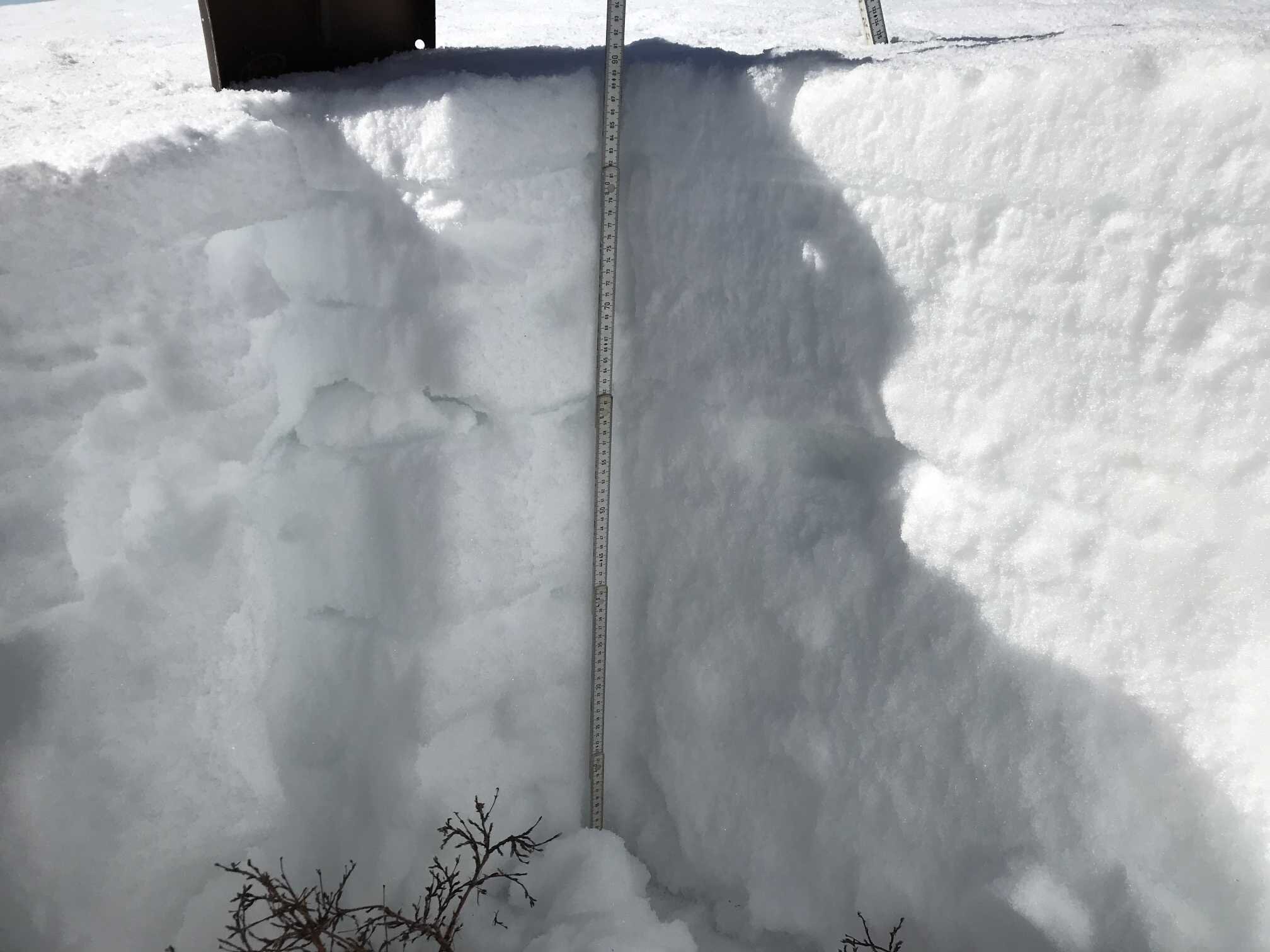
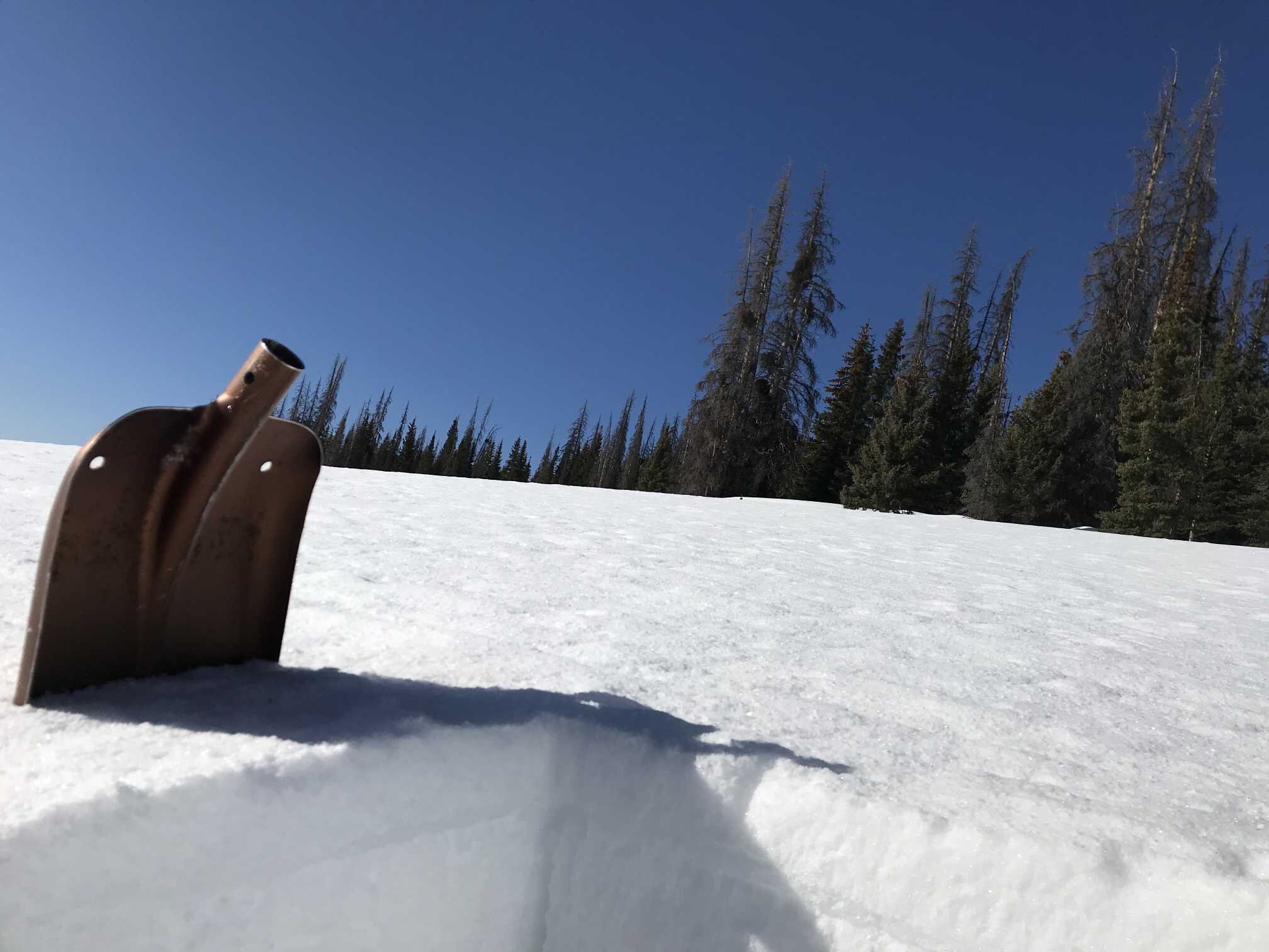
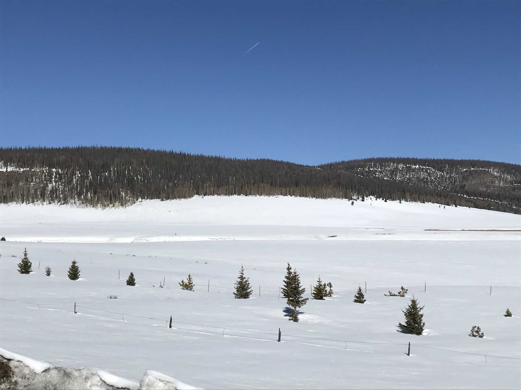
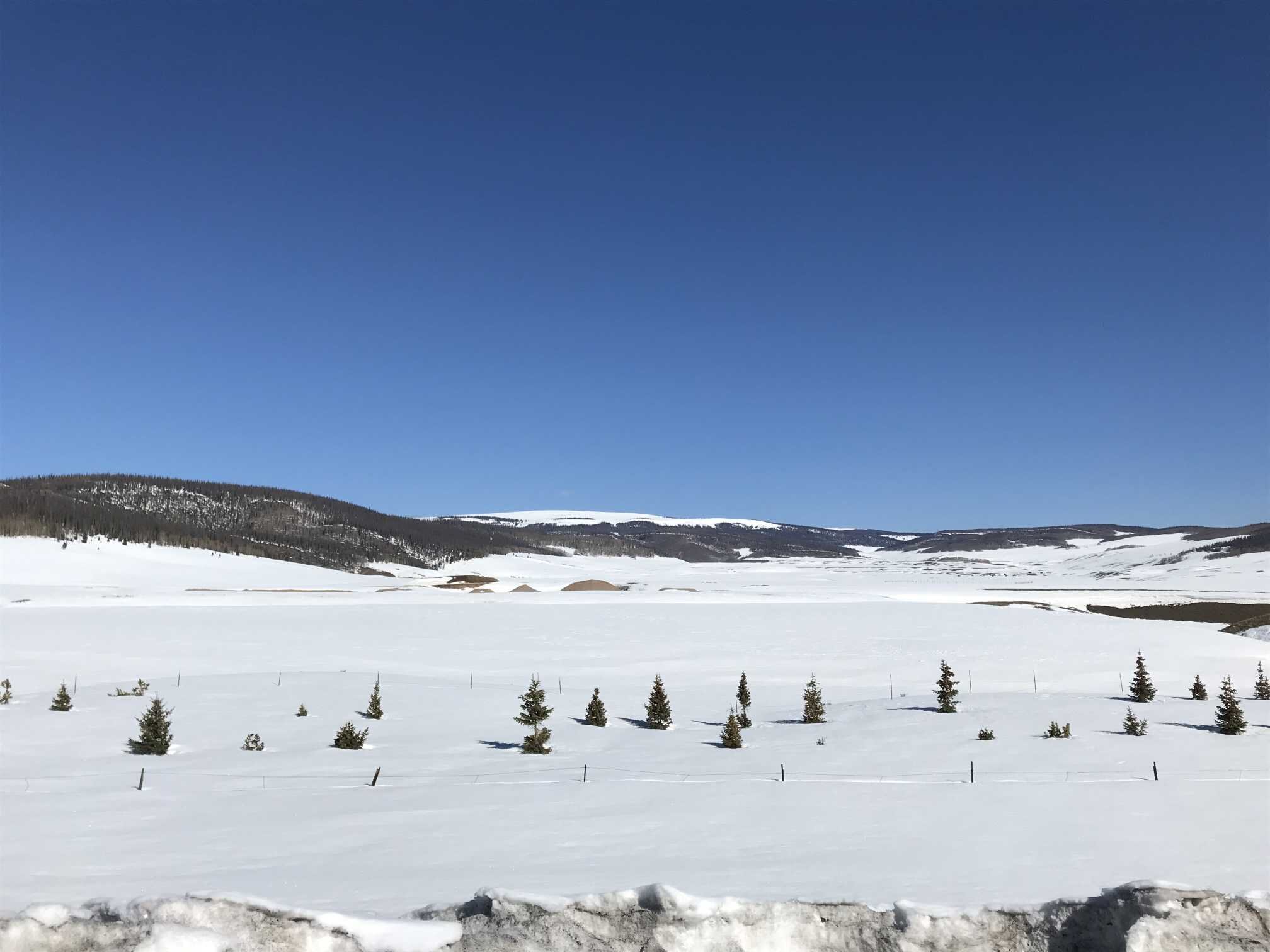
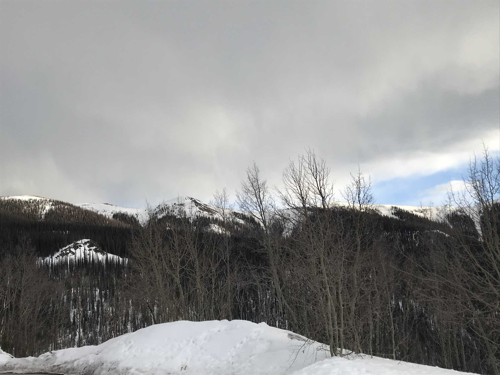
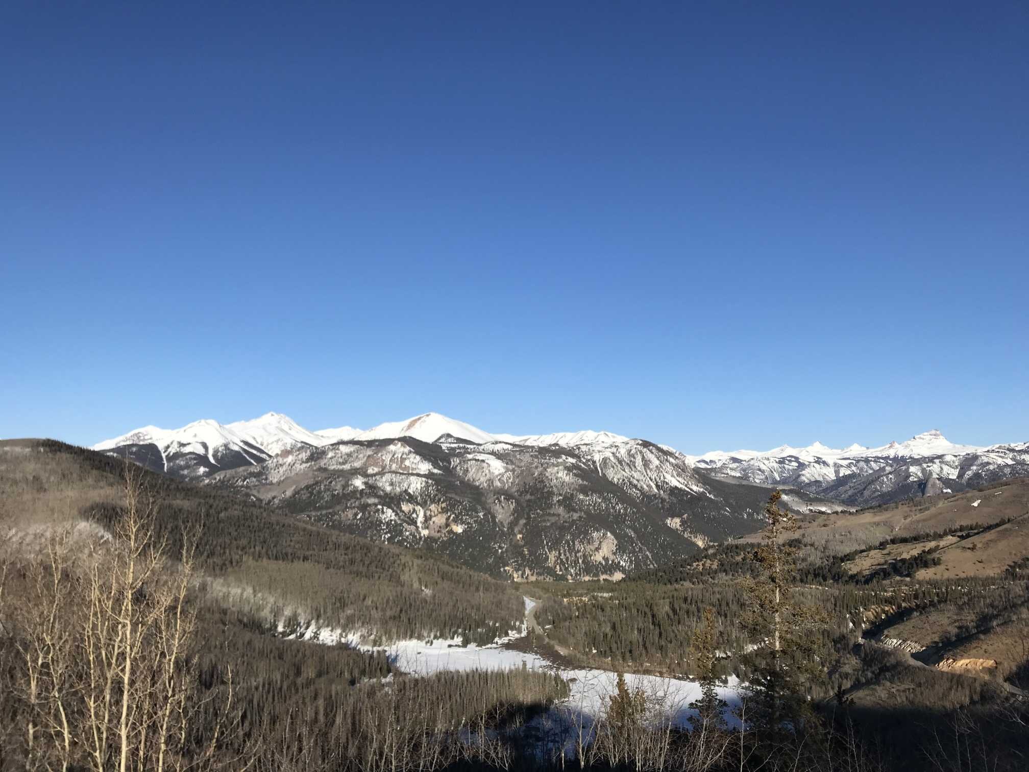
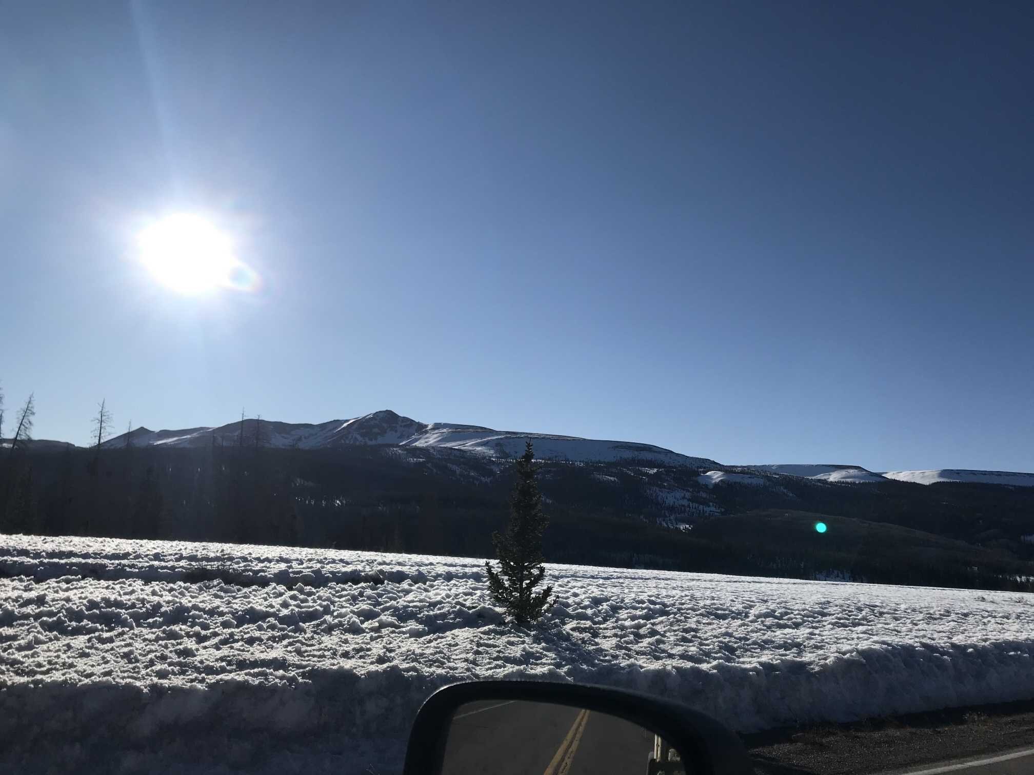
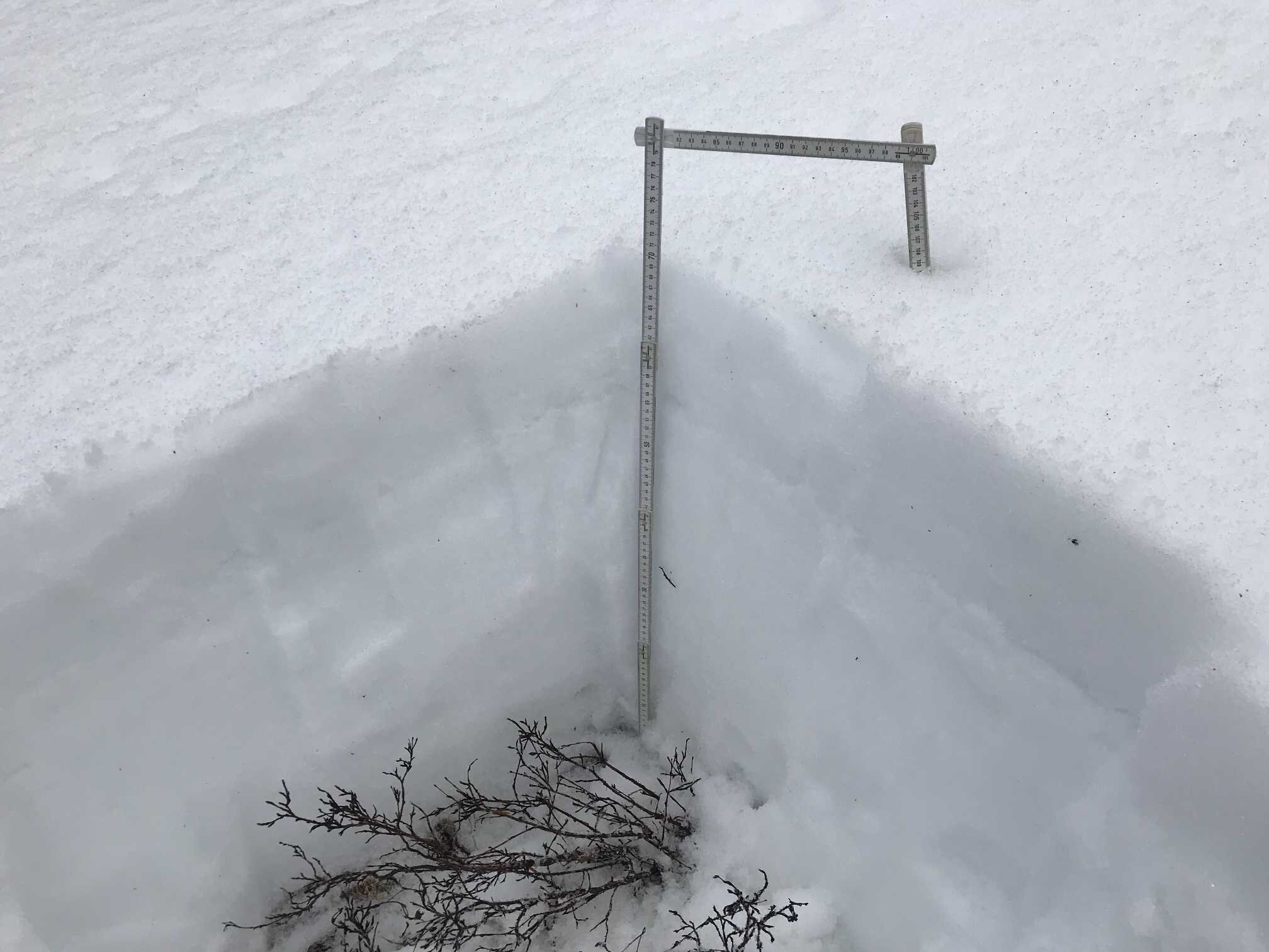
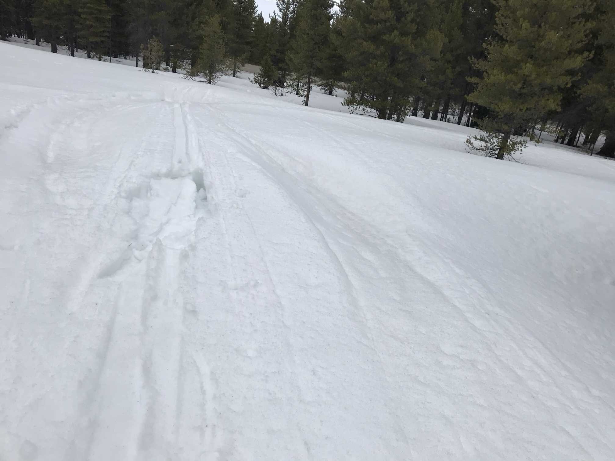
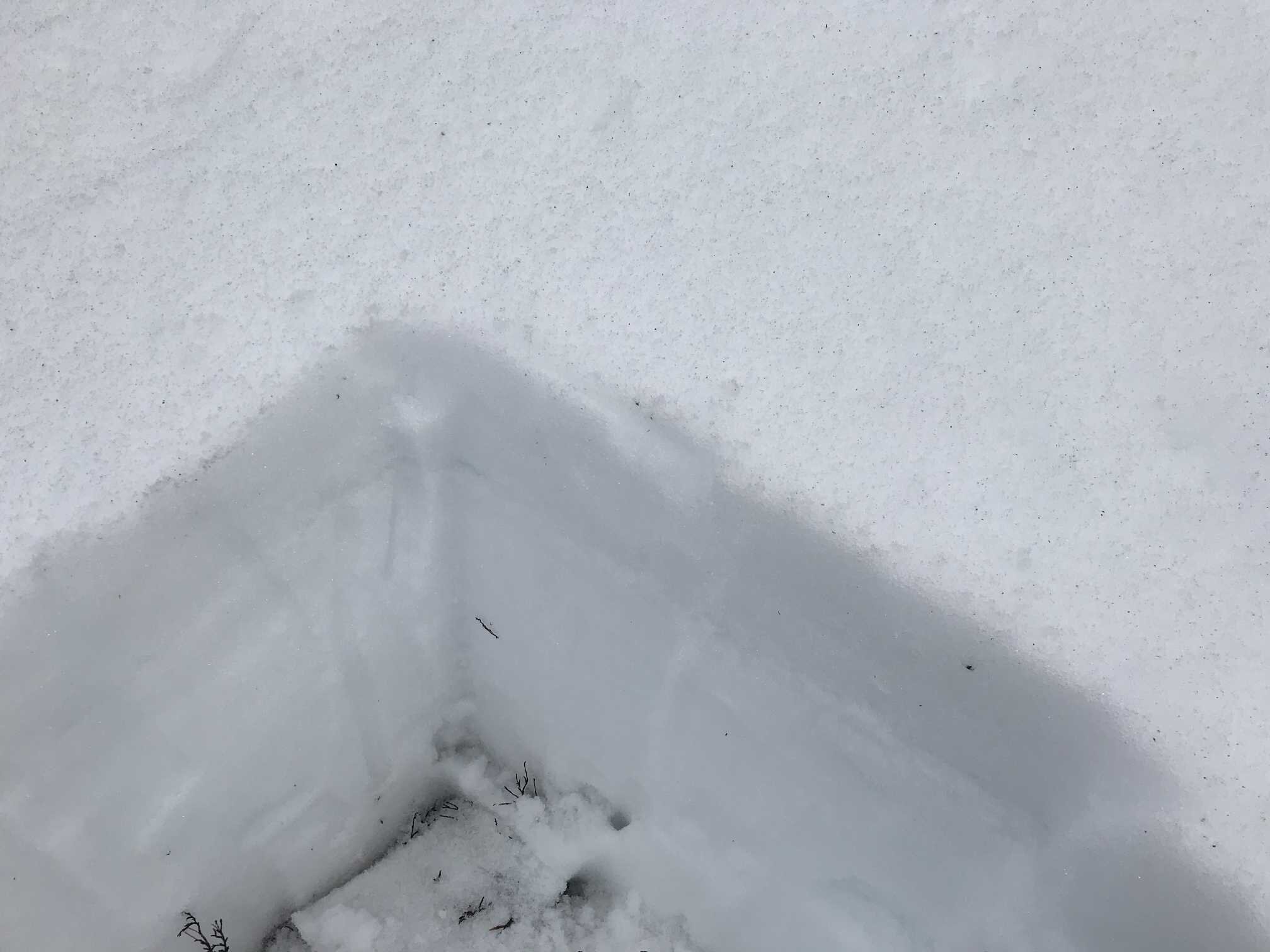
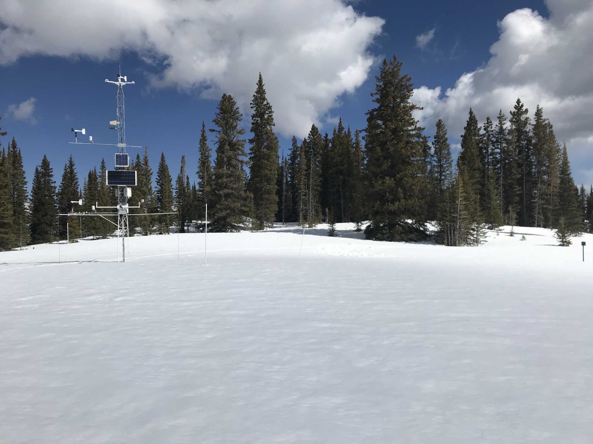
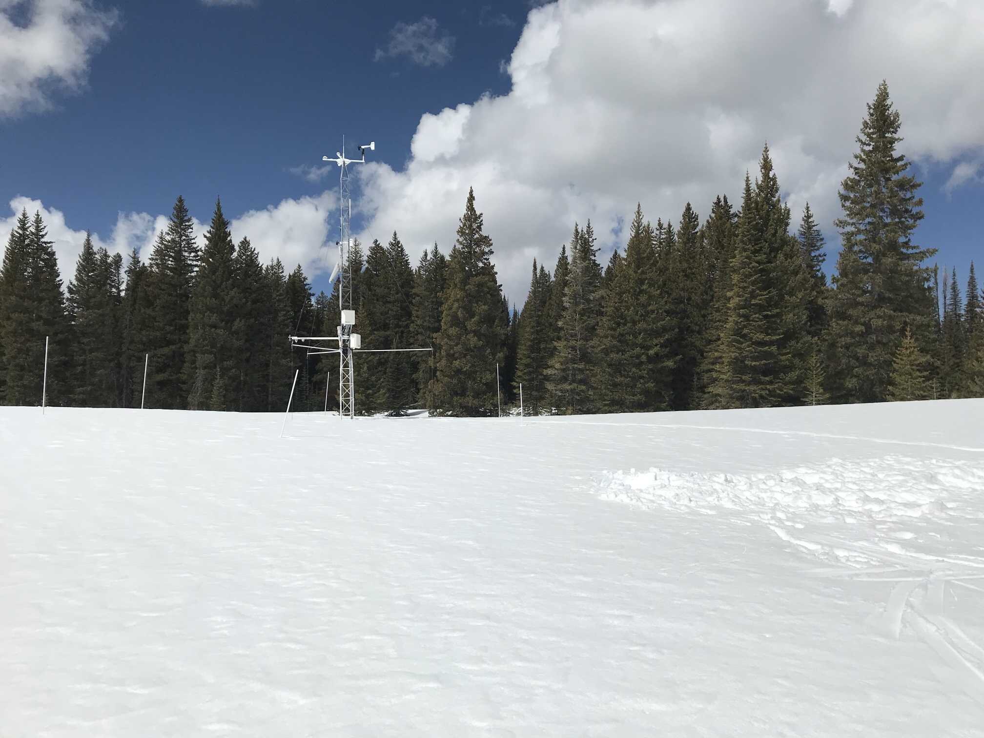
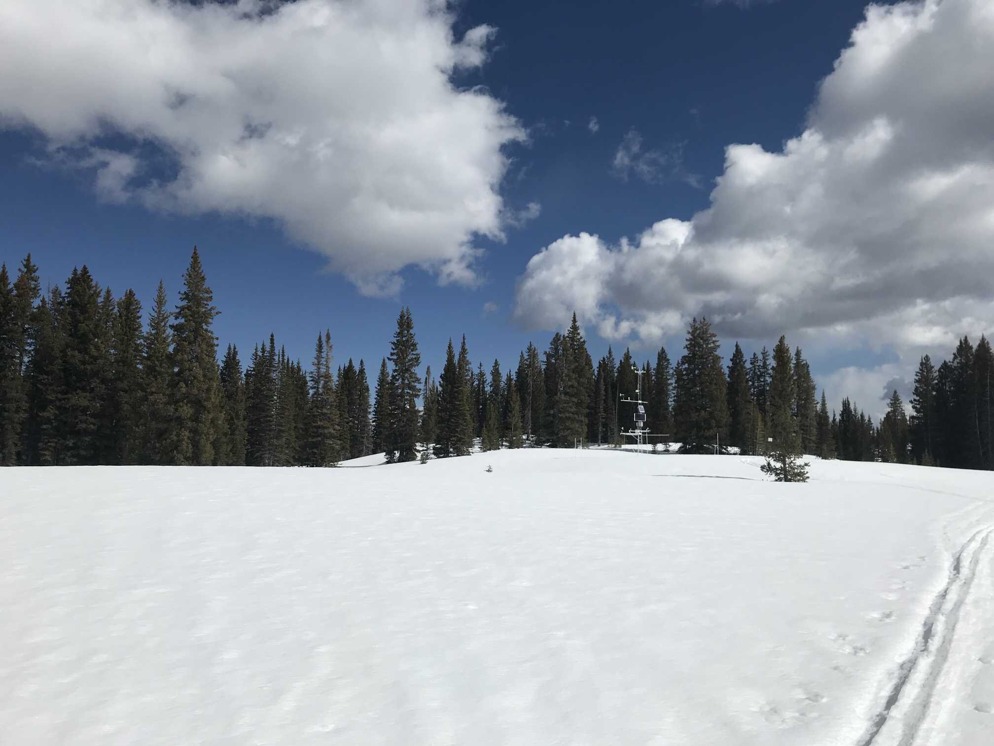
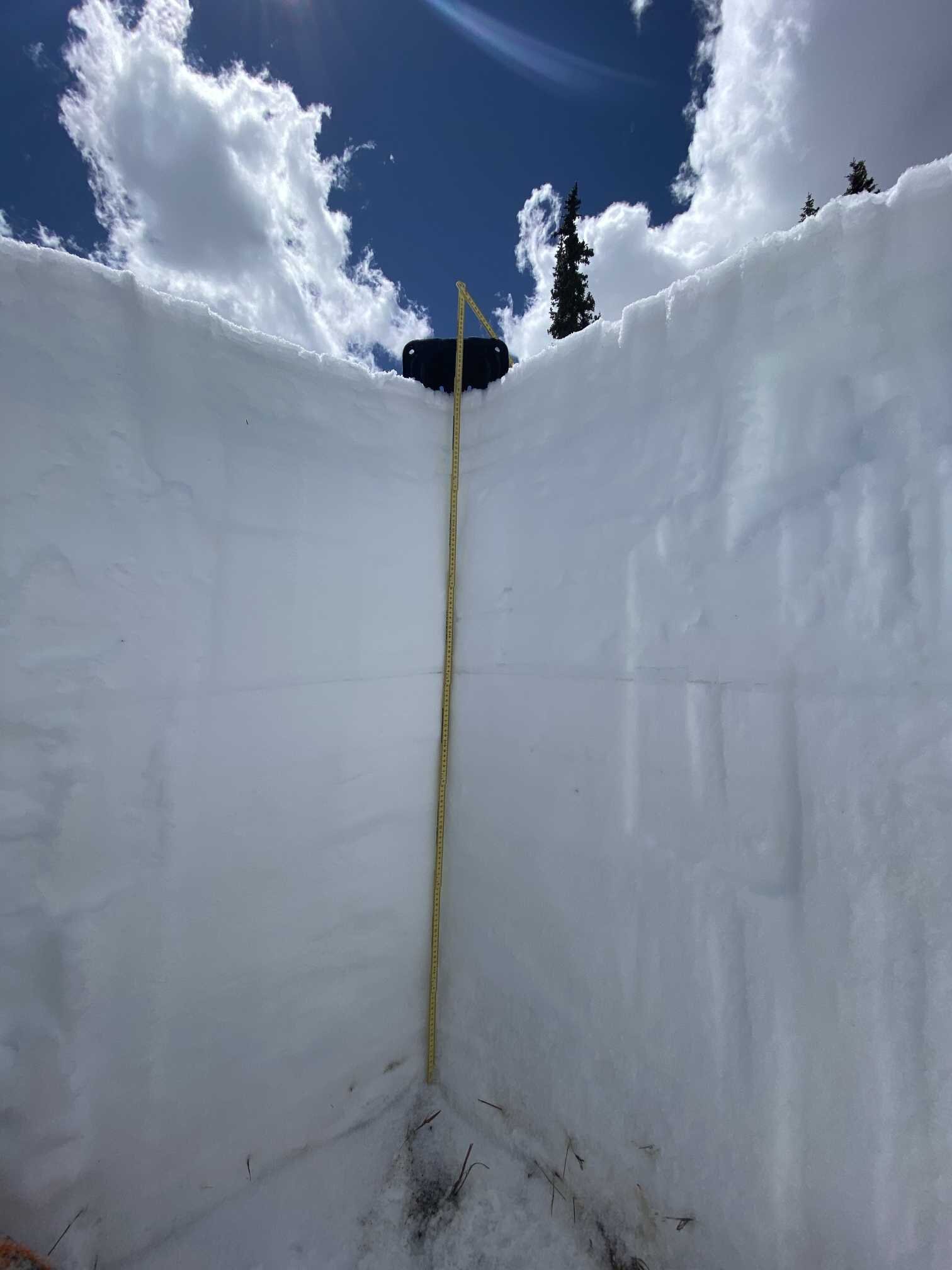
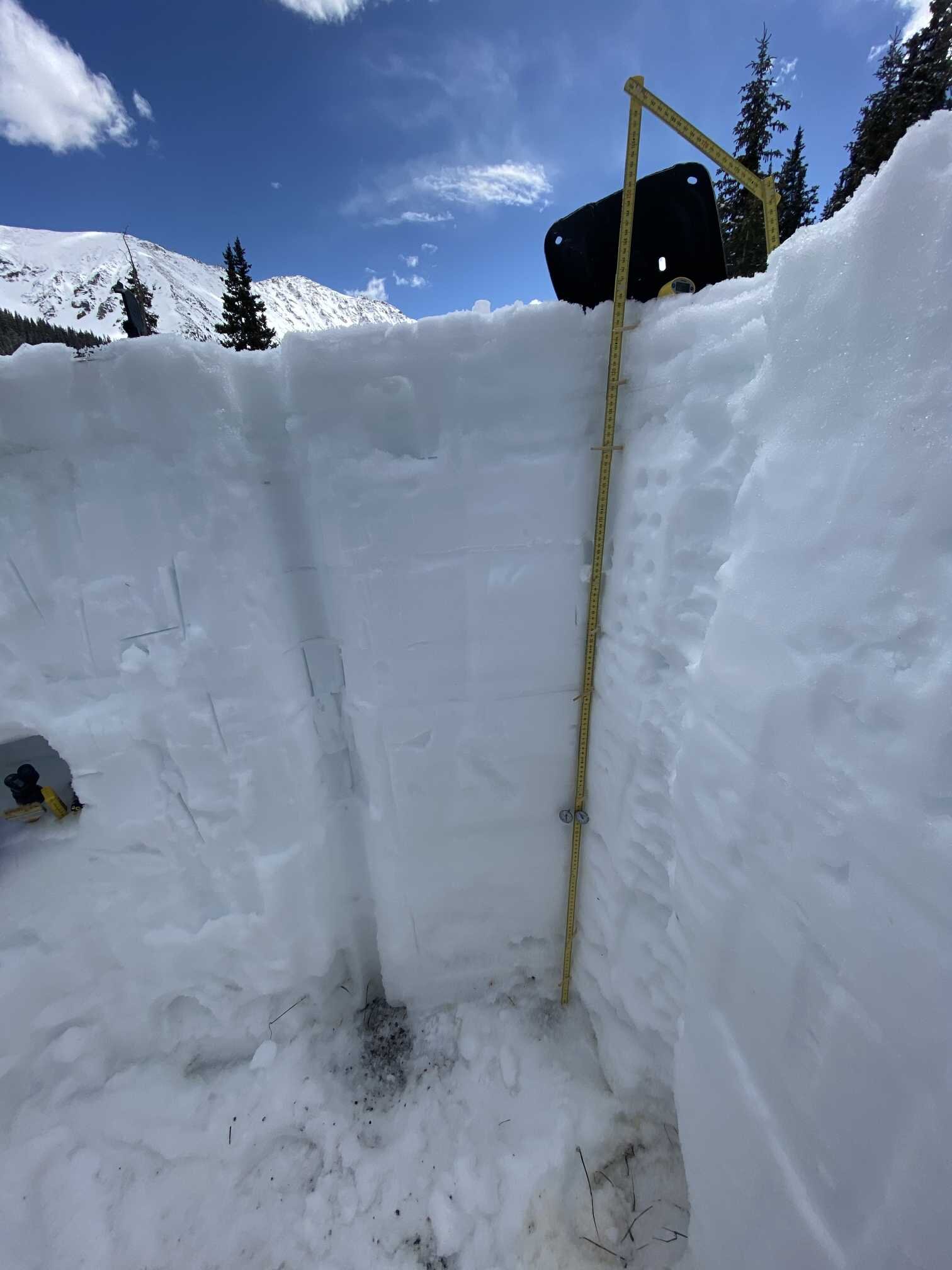
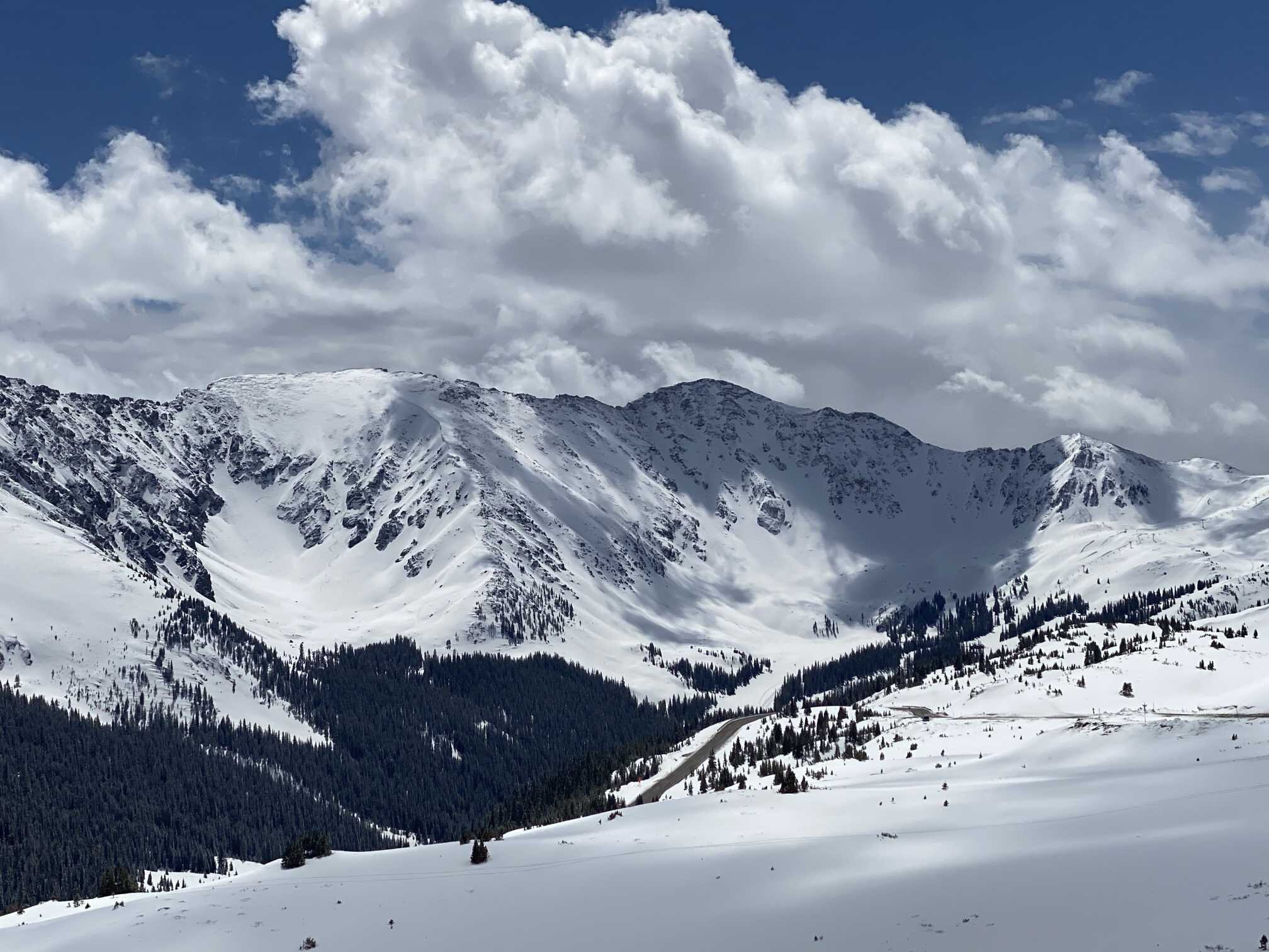
CODOS snowpack observations and SNOTEL data for comparison. Note that CODOS sampling is done near SNOTEL stations but usually in slightly more open areas to observe regional dust-on-snow conditions, compared to SNOTEL stations which are typically located in more closed canopy.
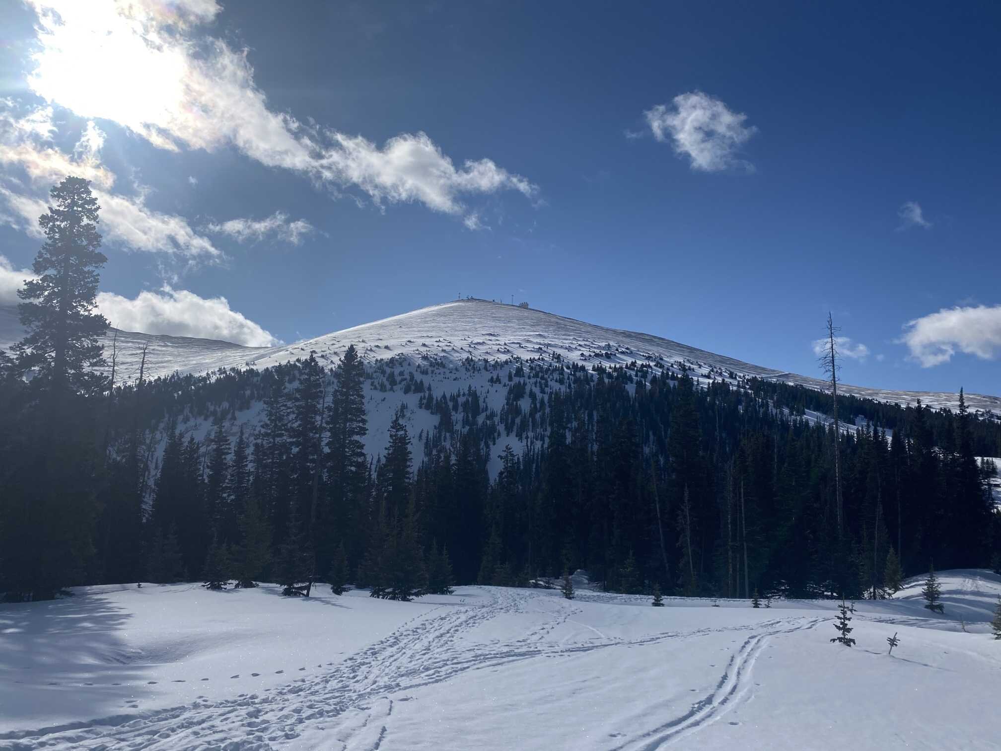
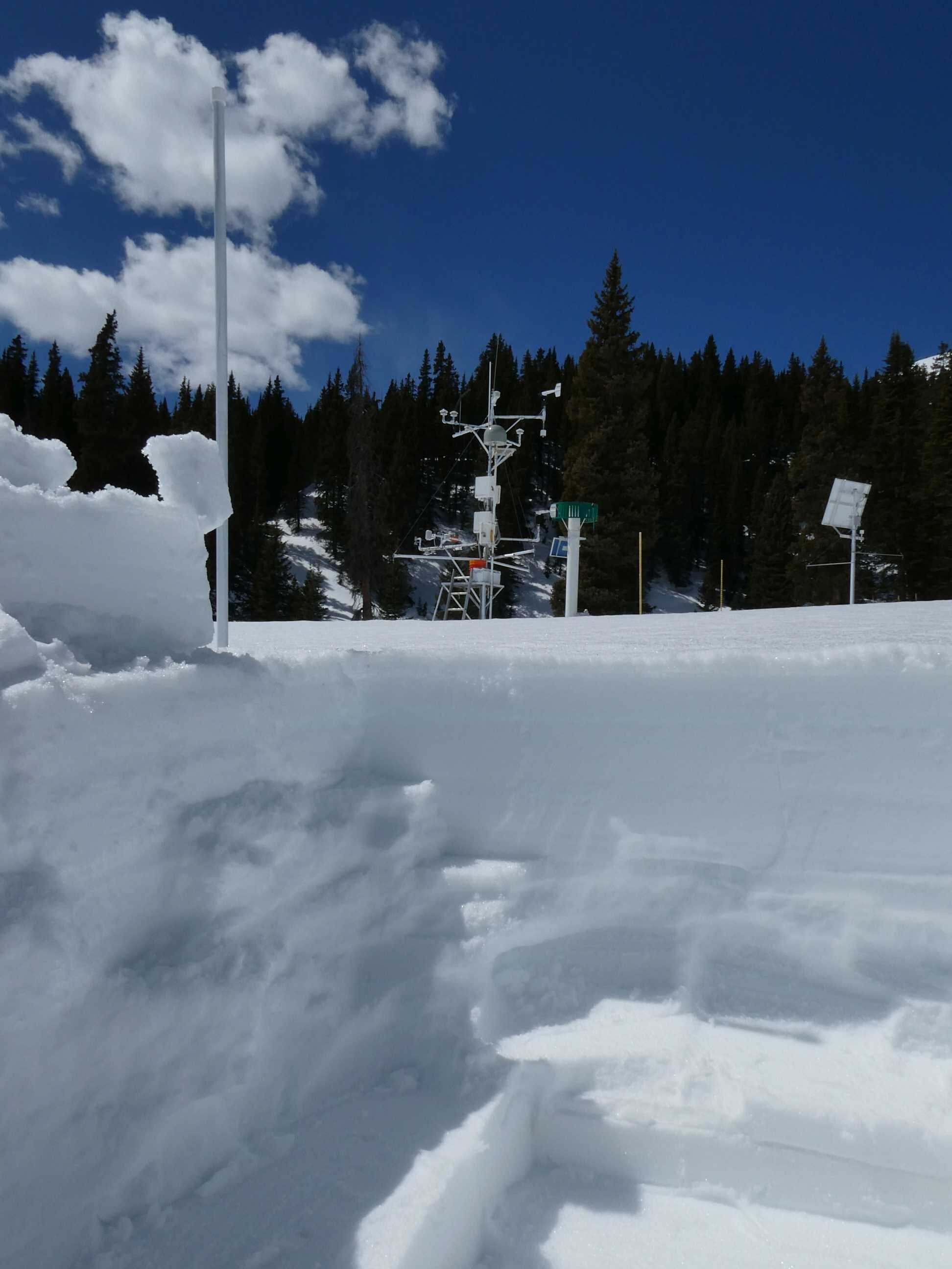
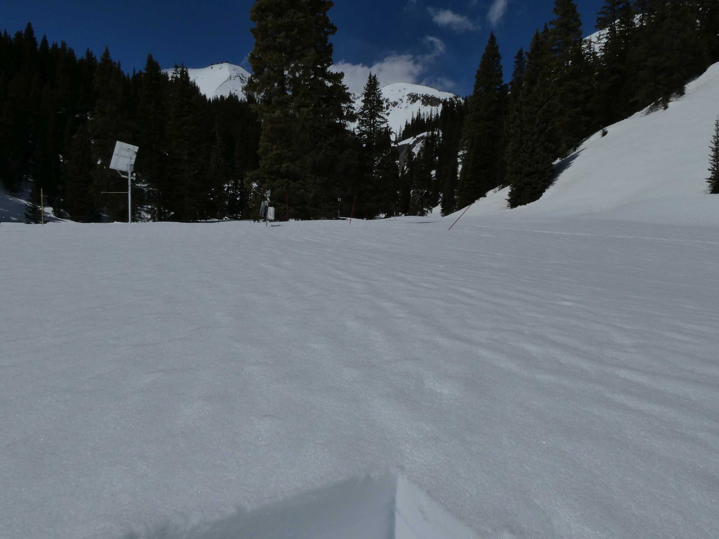
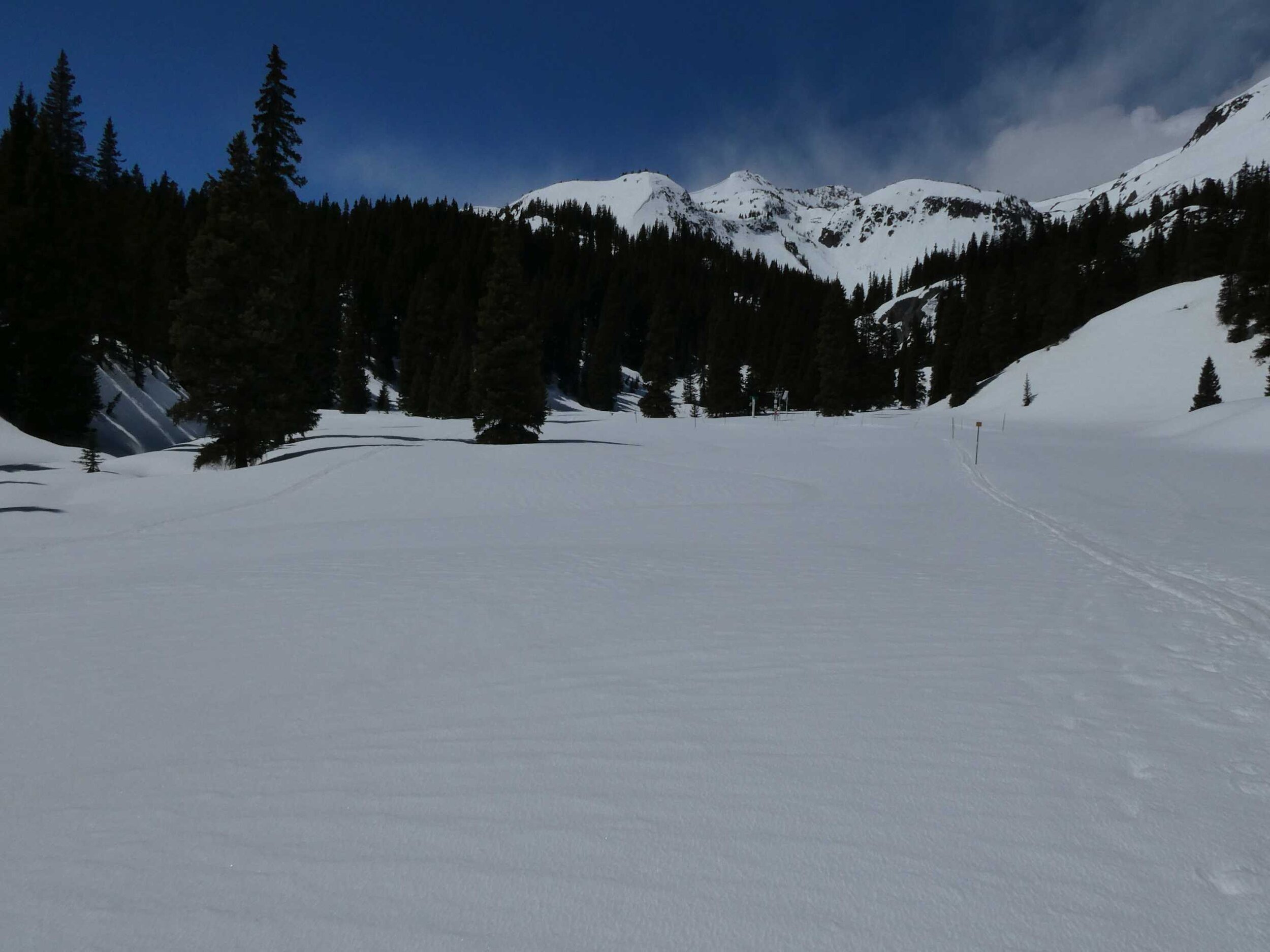
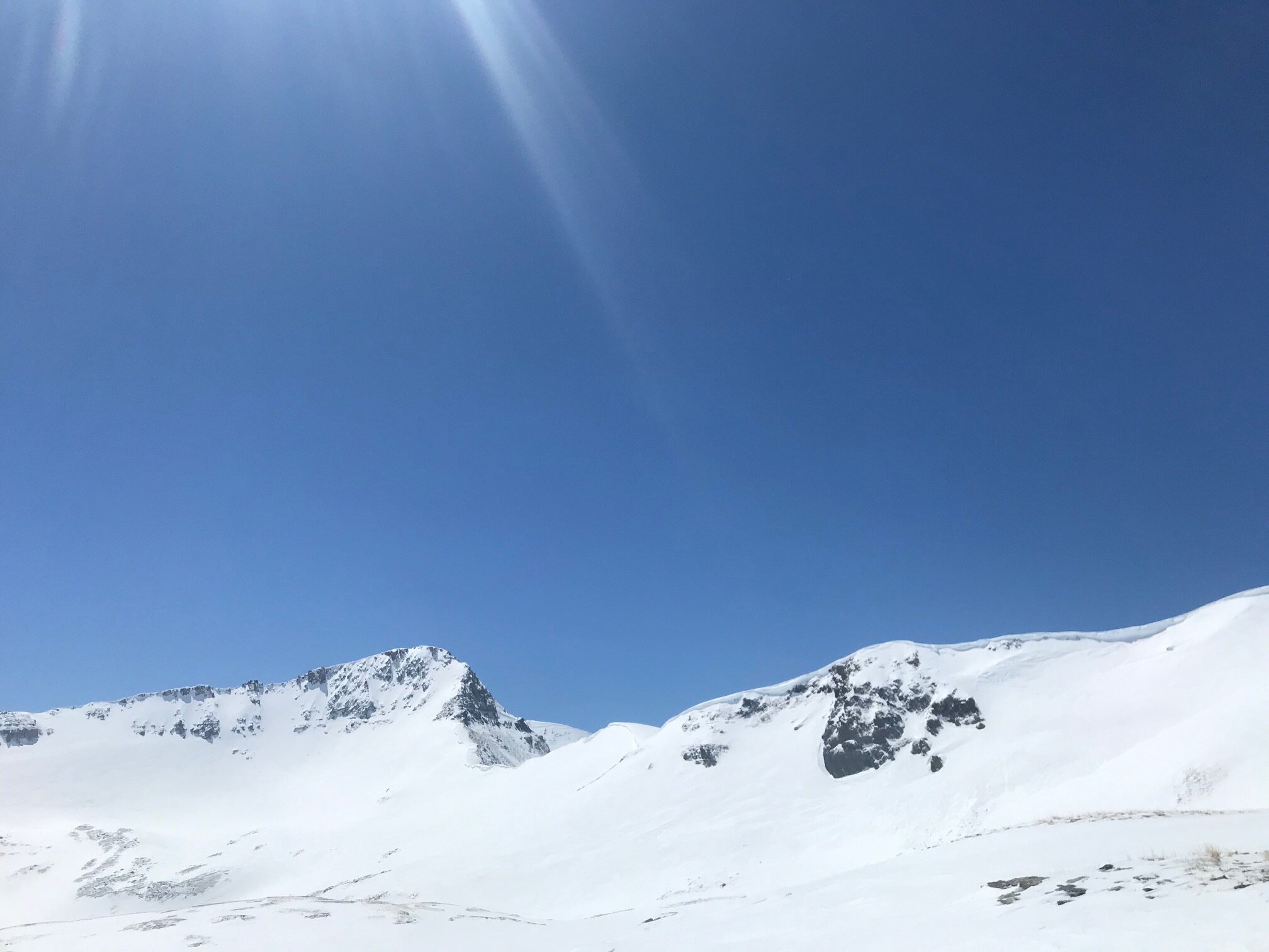
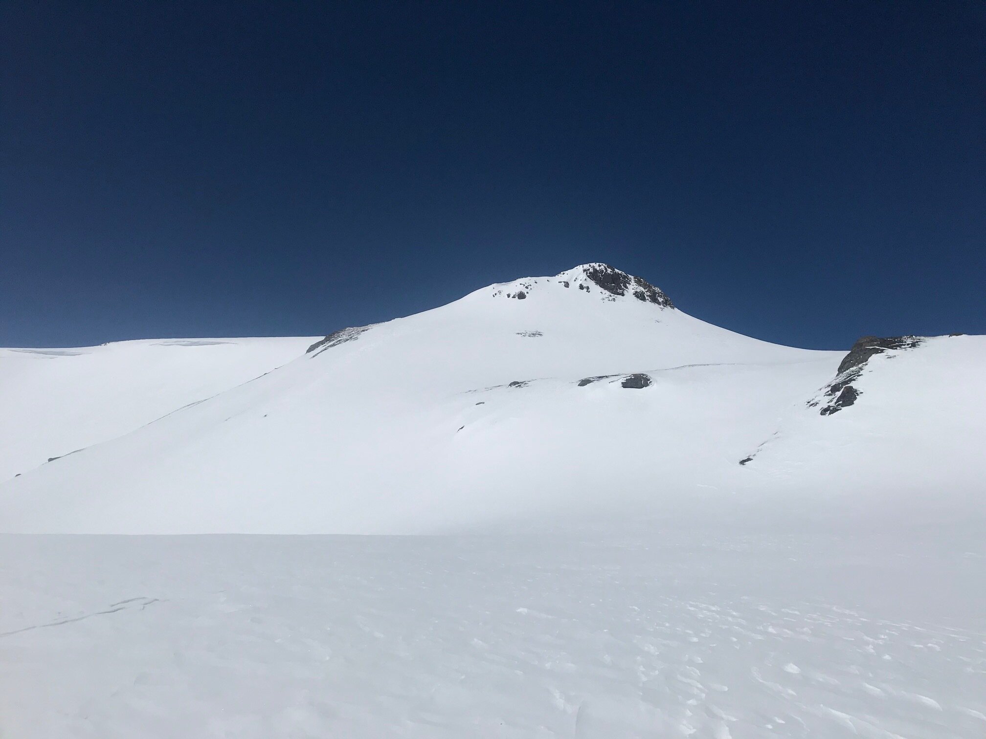
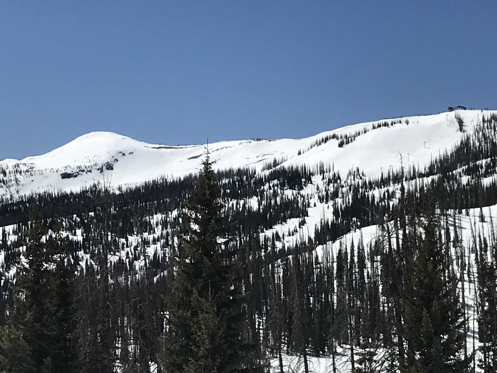
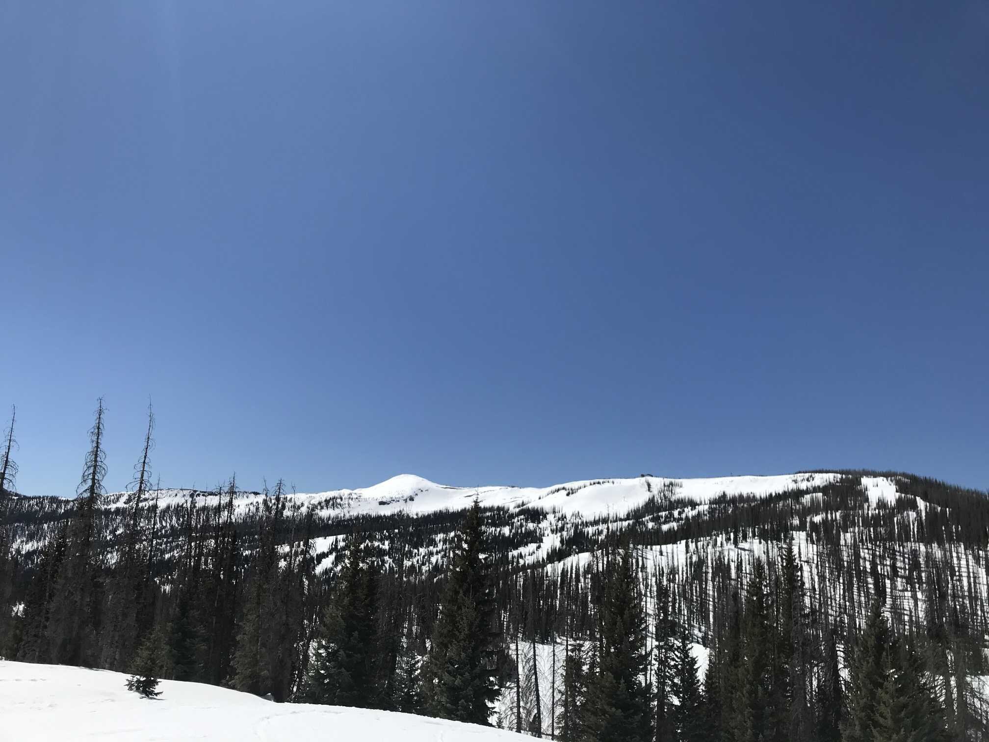
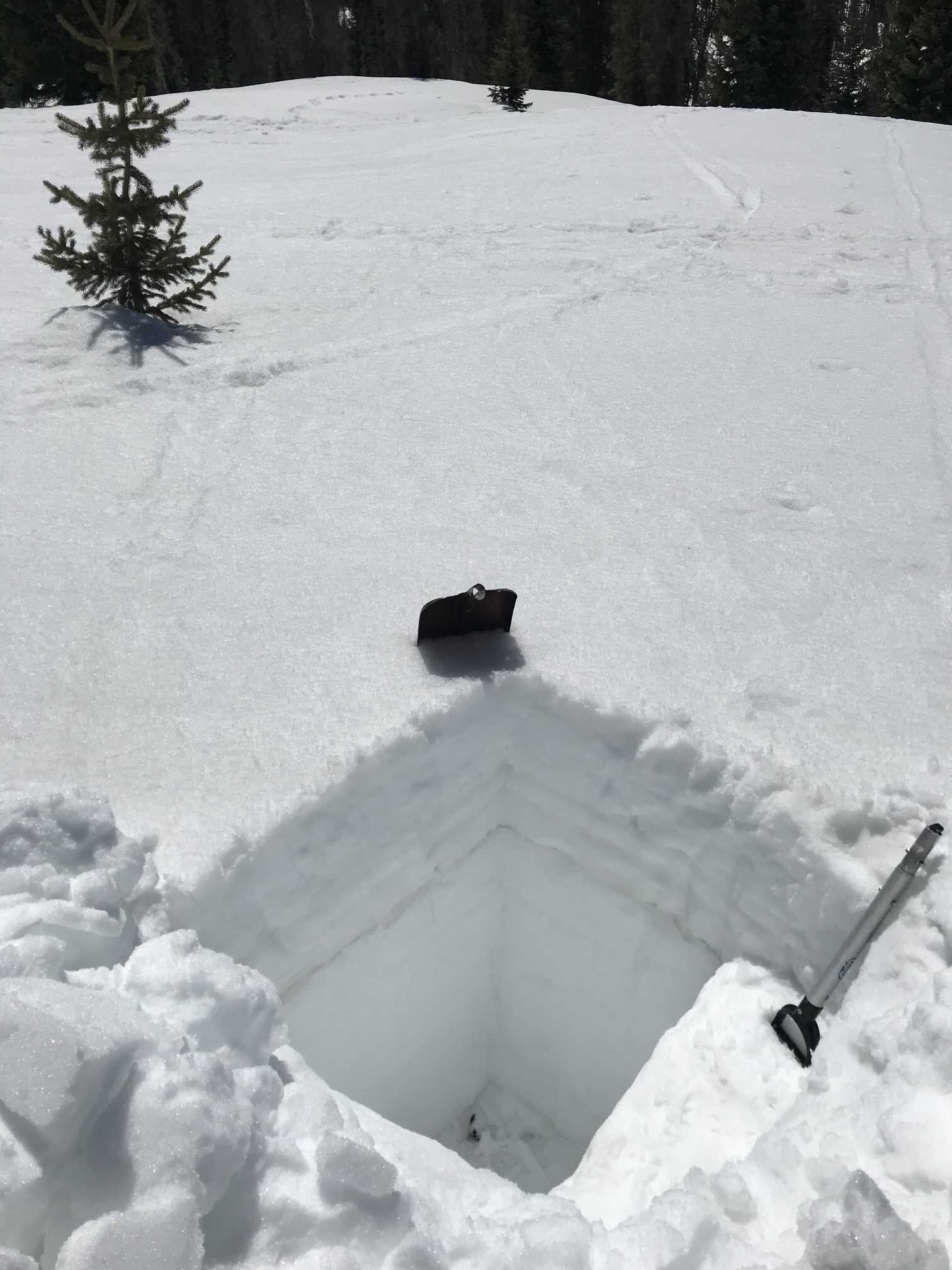
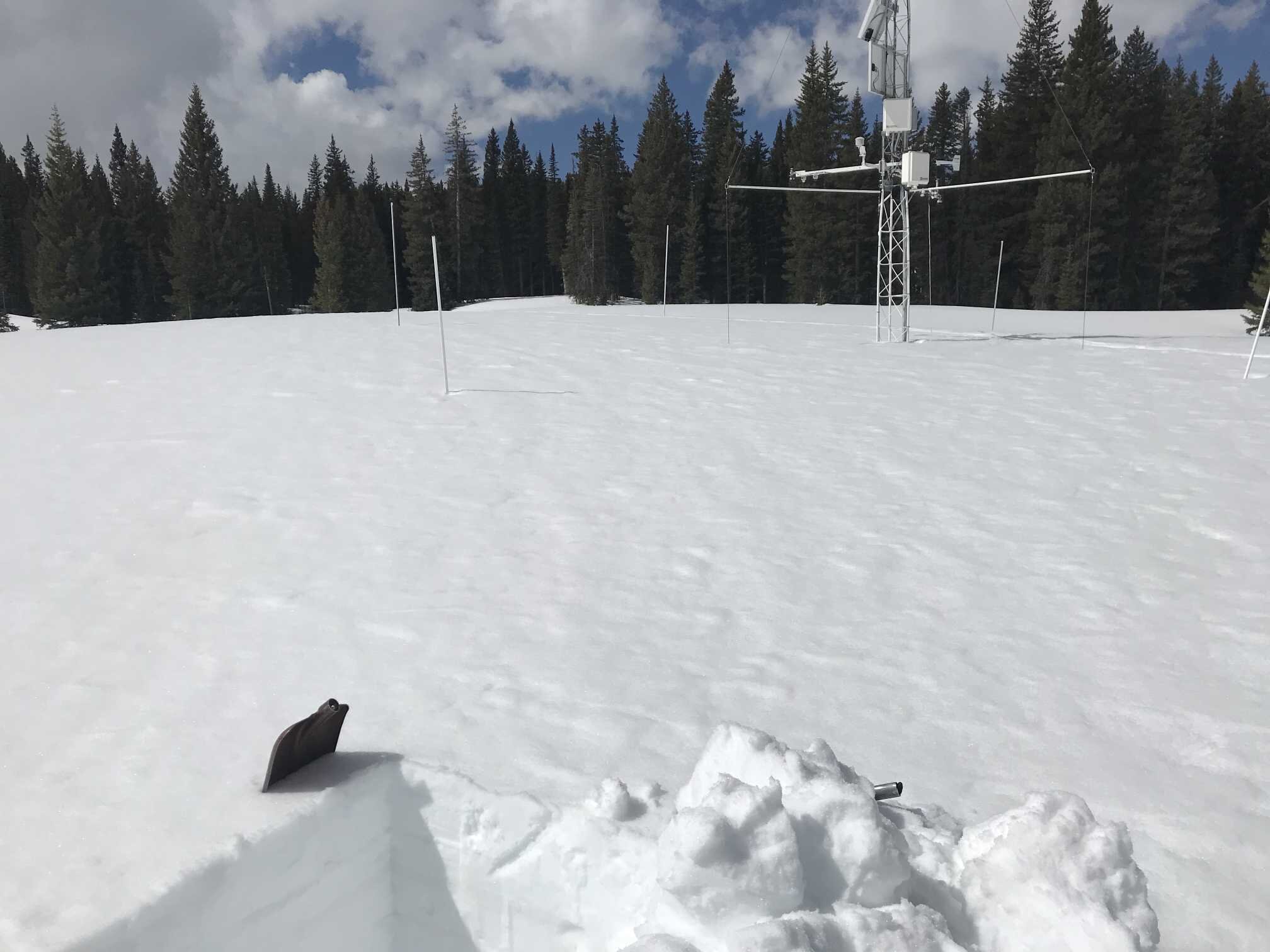
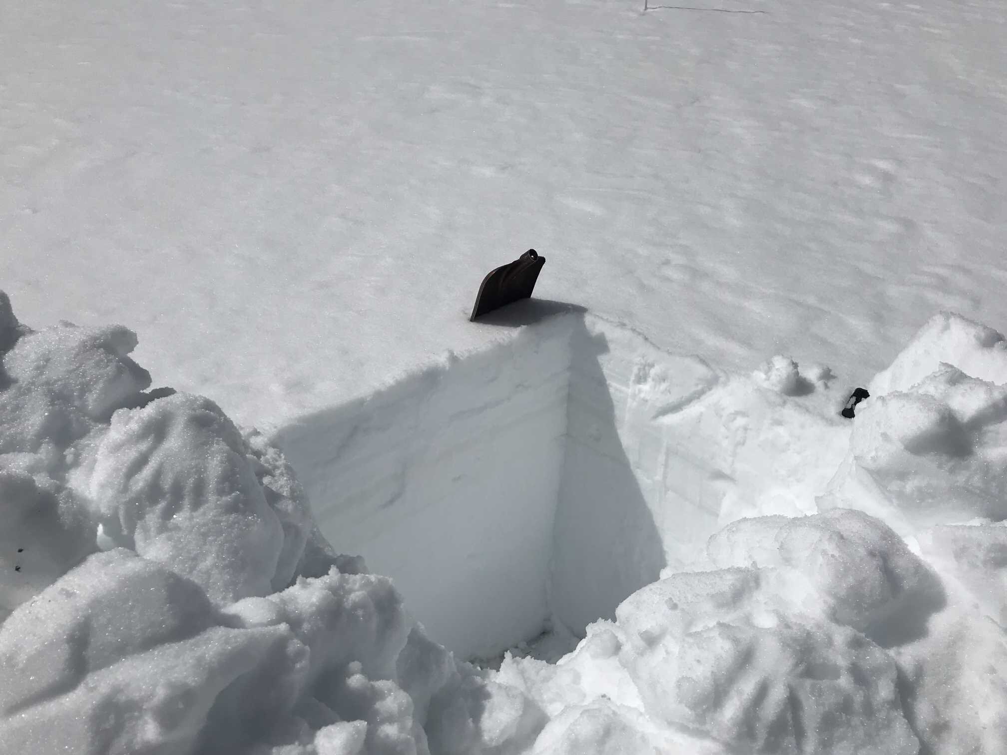
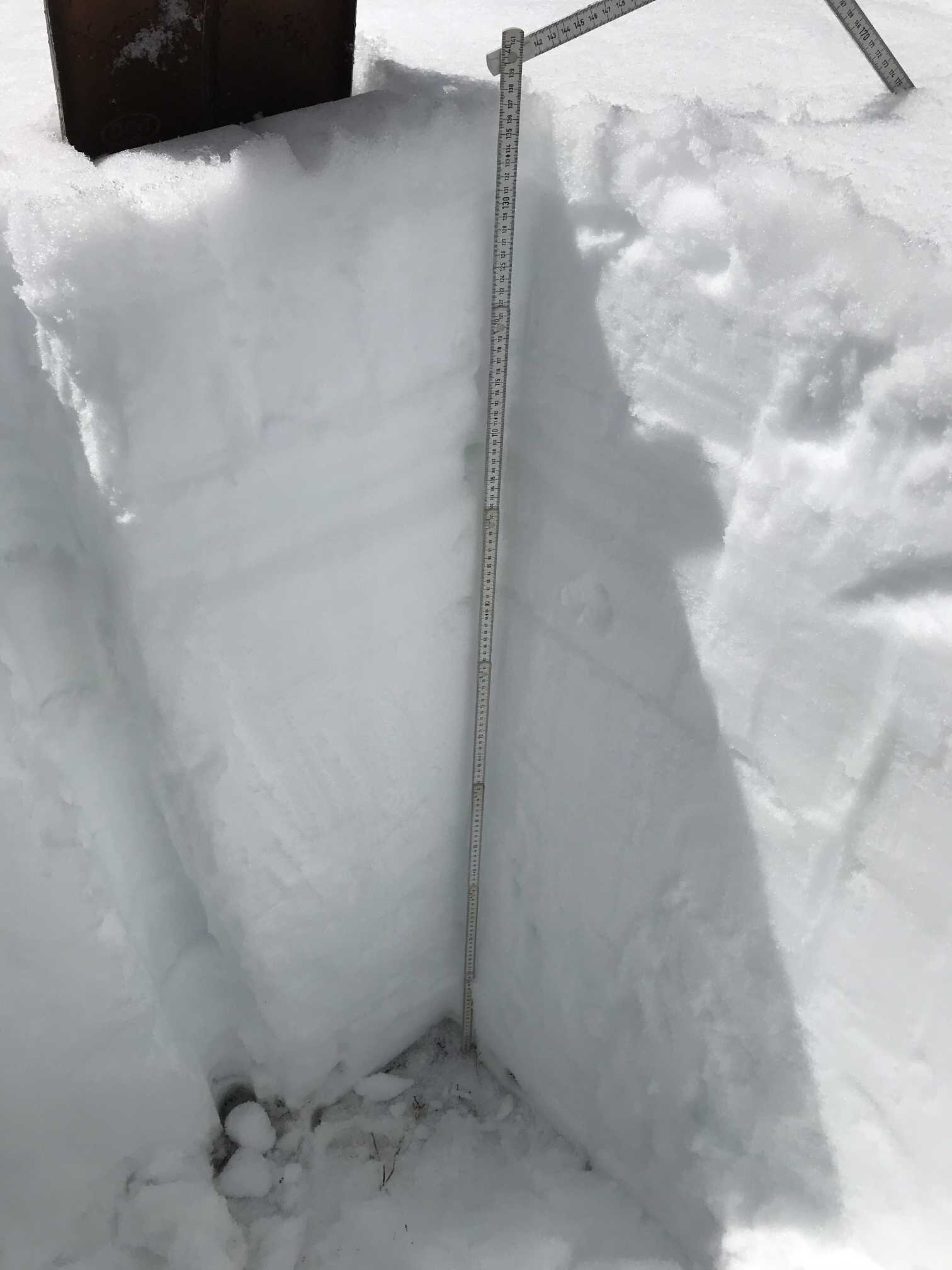
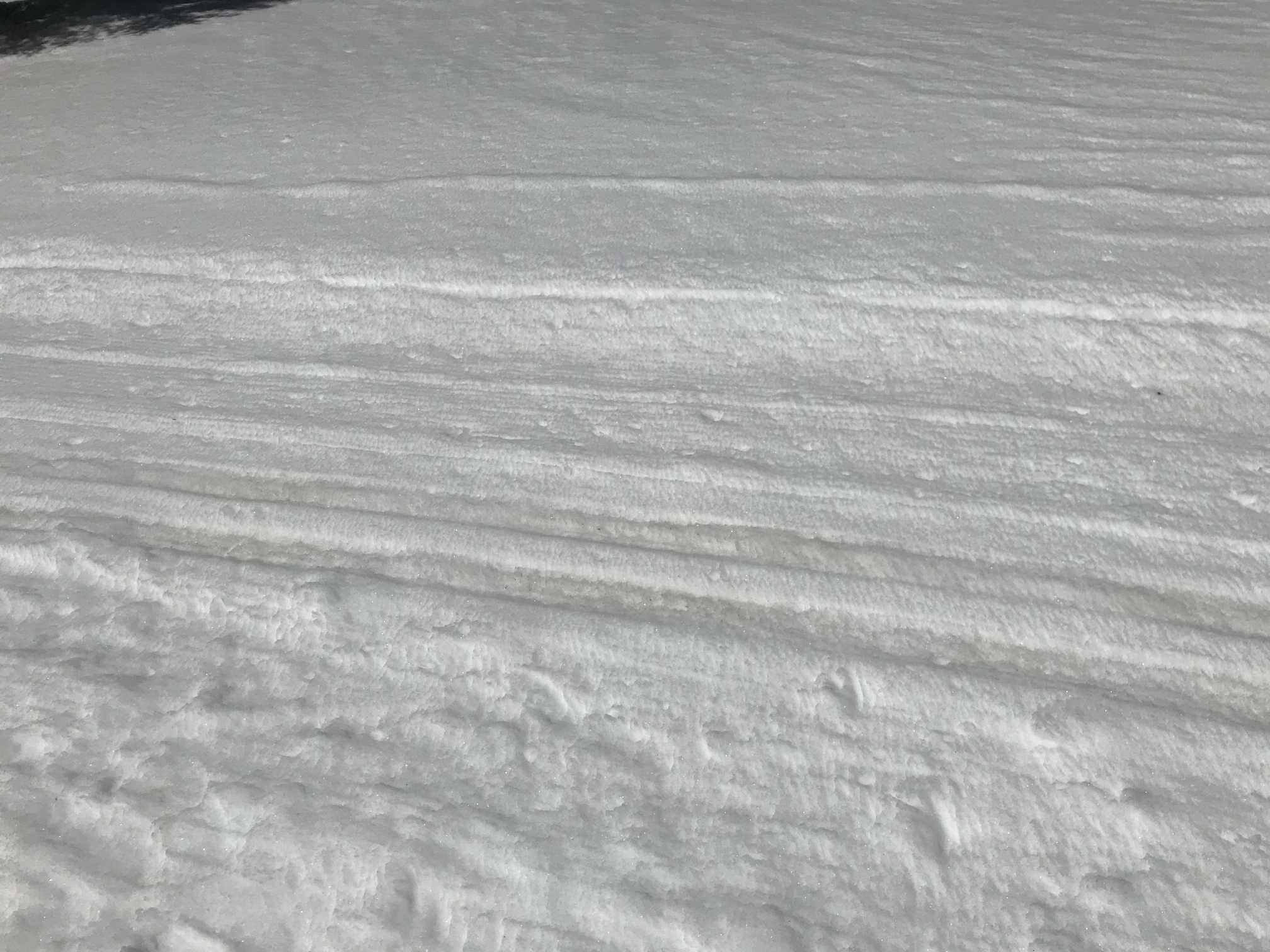
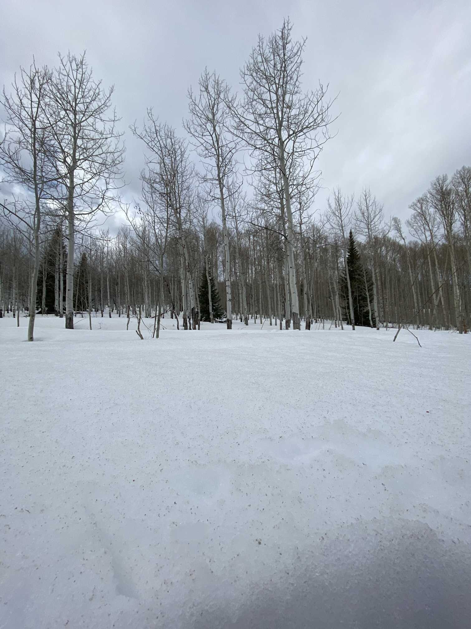
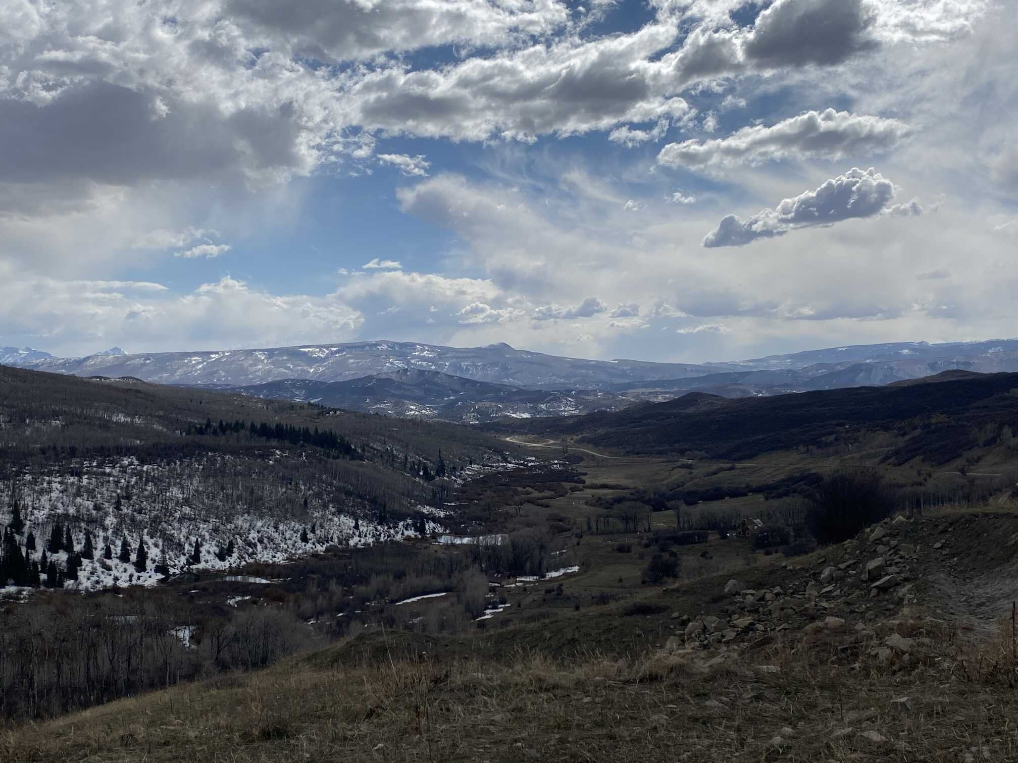
Swamp Angel Study Plot (April 10 and April 13) and the North san juan mountains
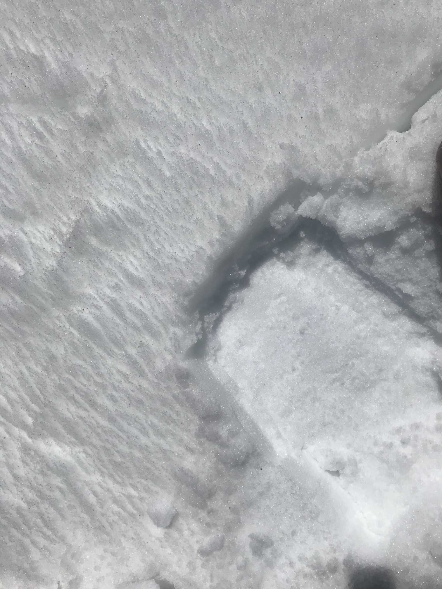
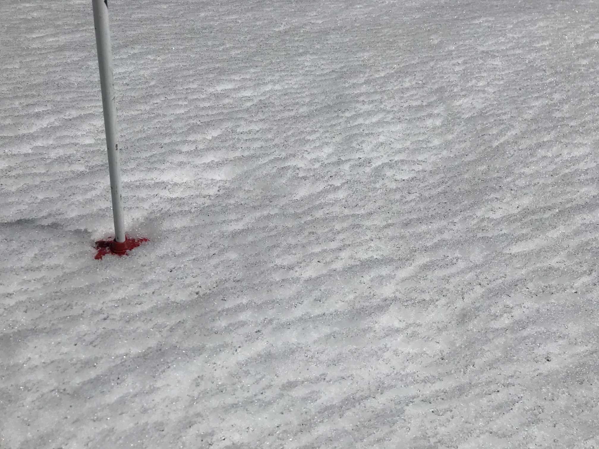
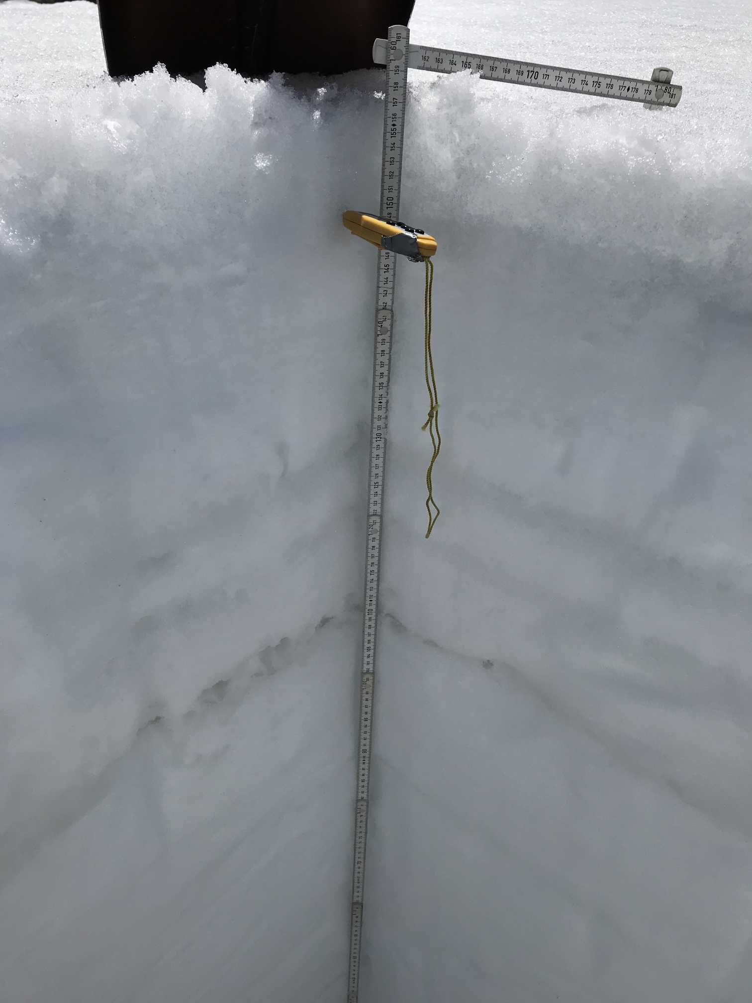
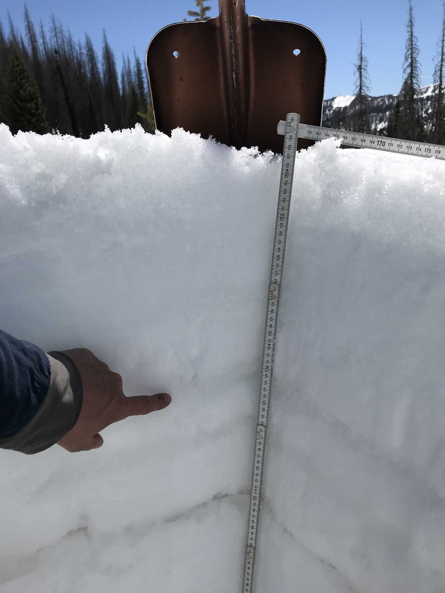
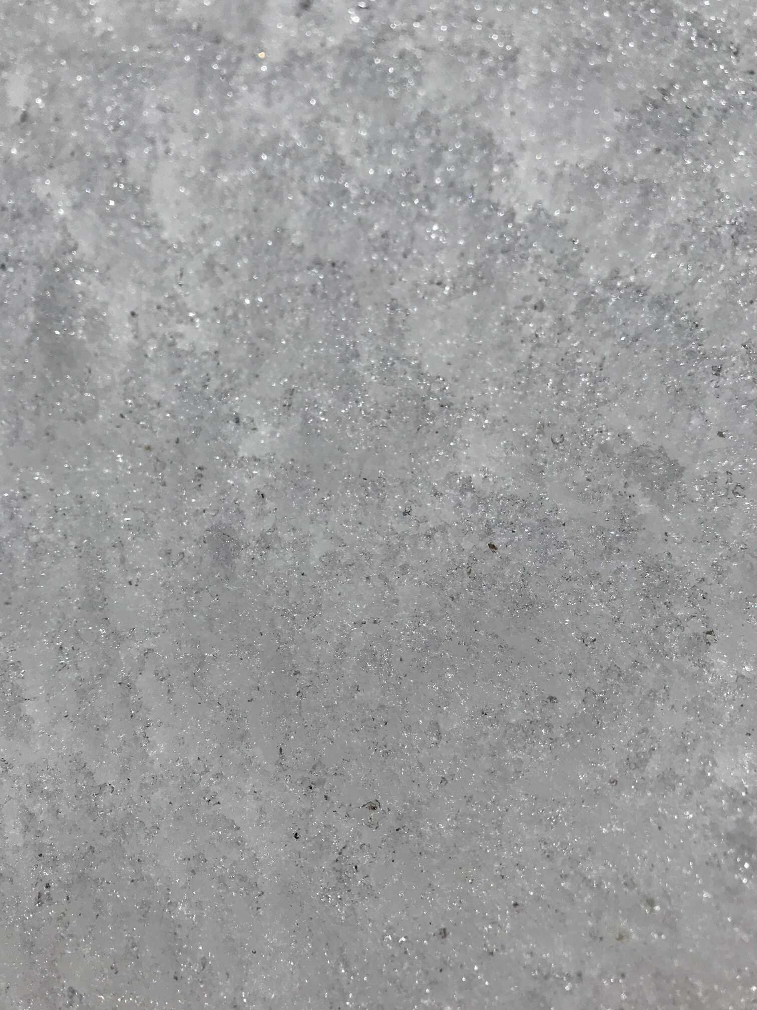
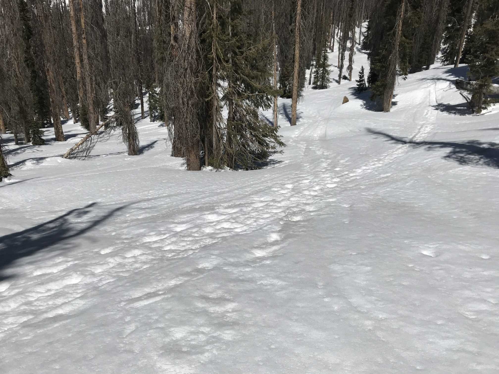
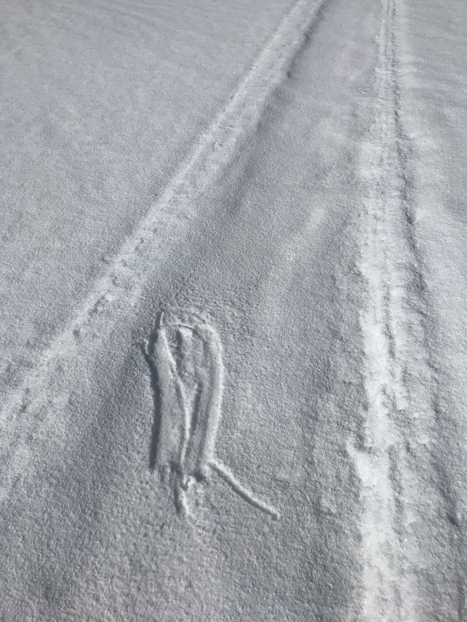
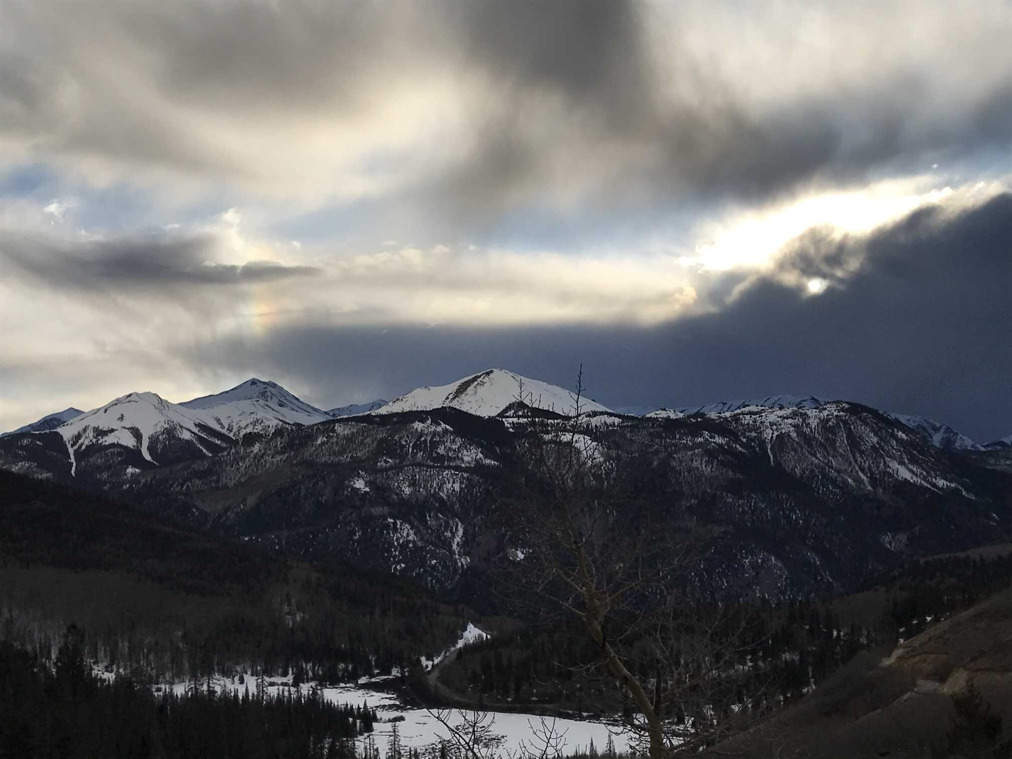
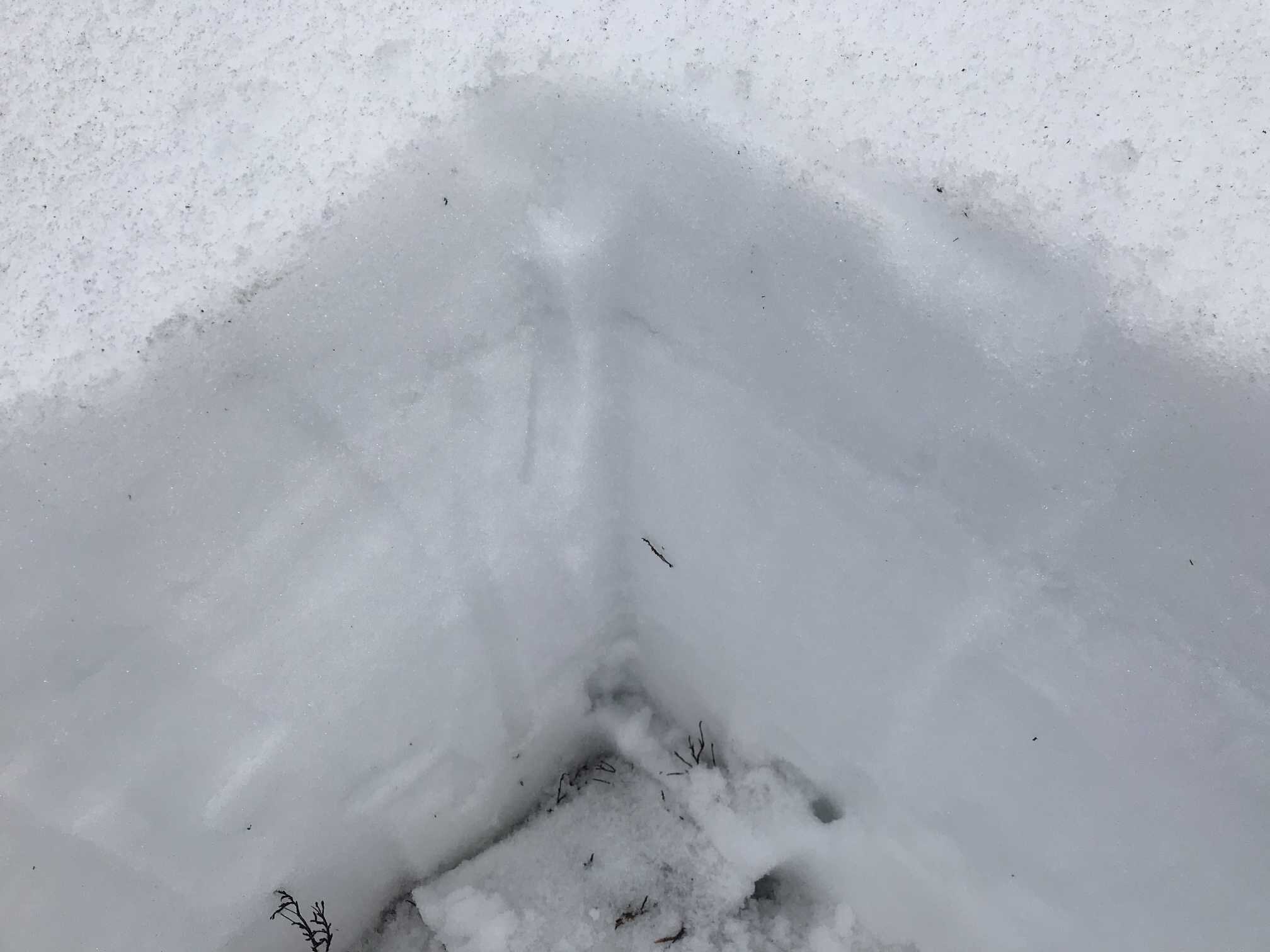
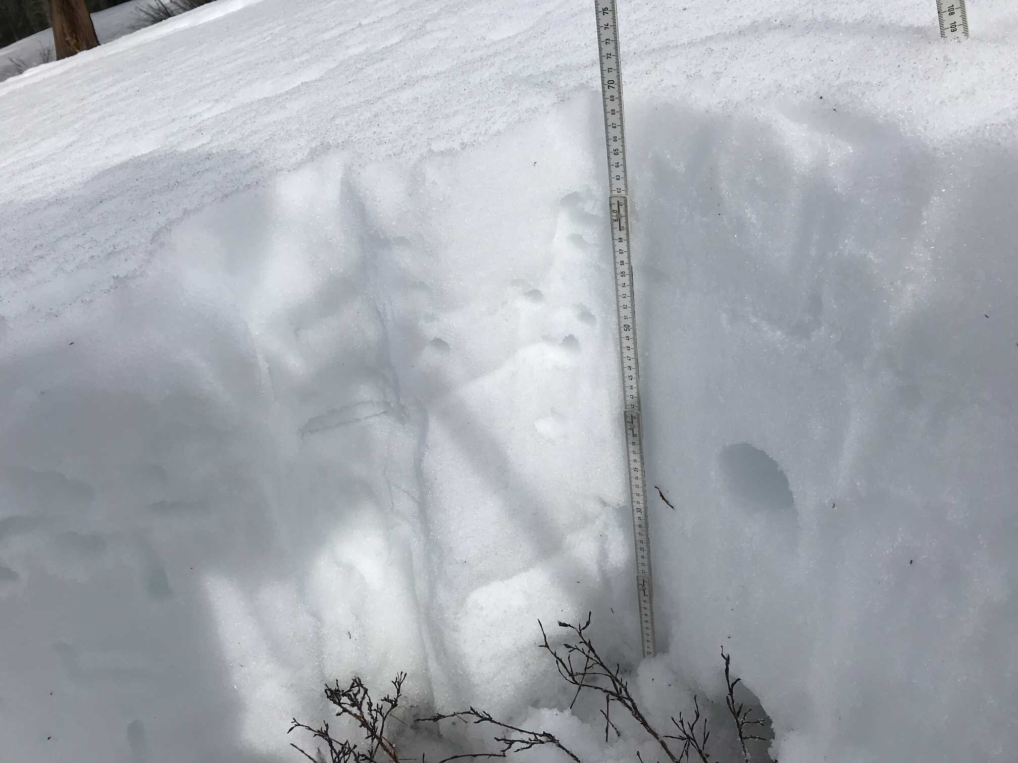
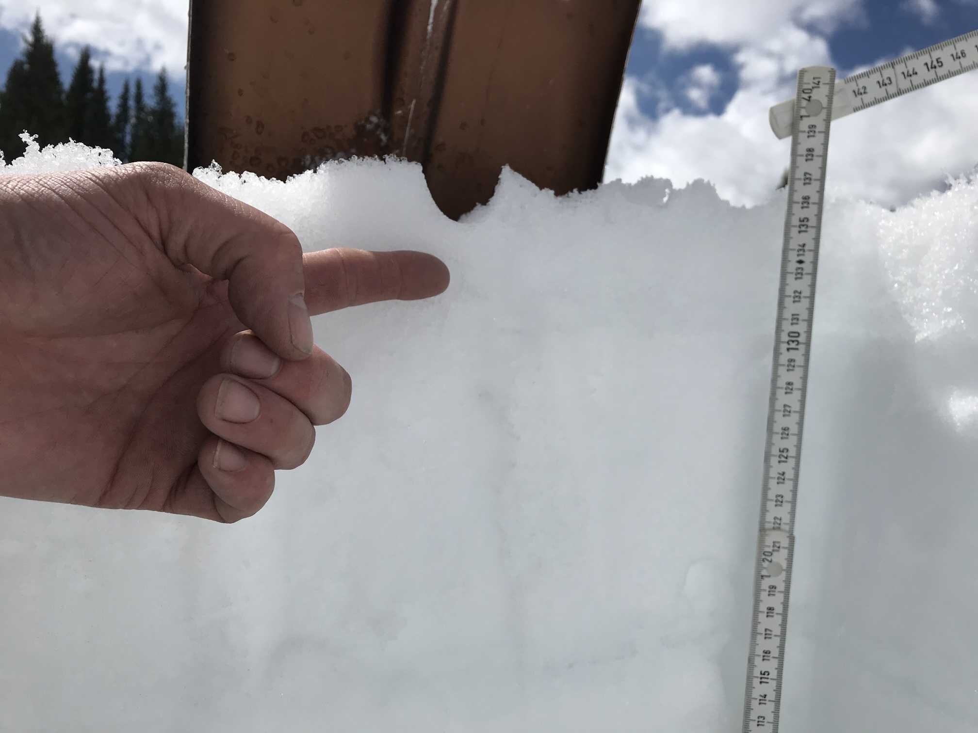
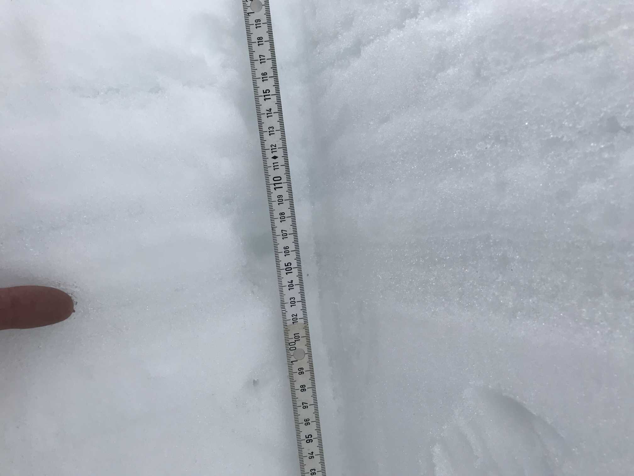
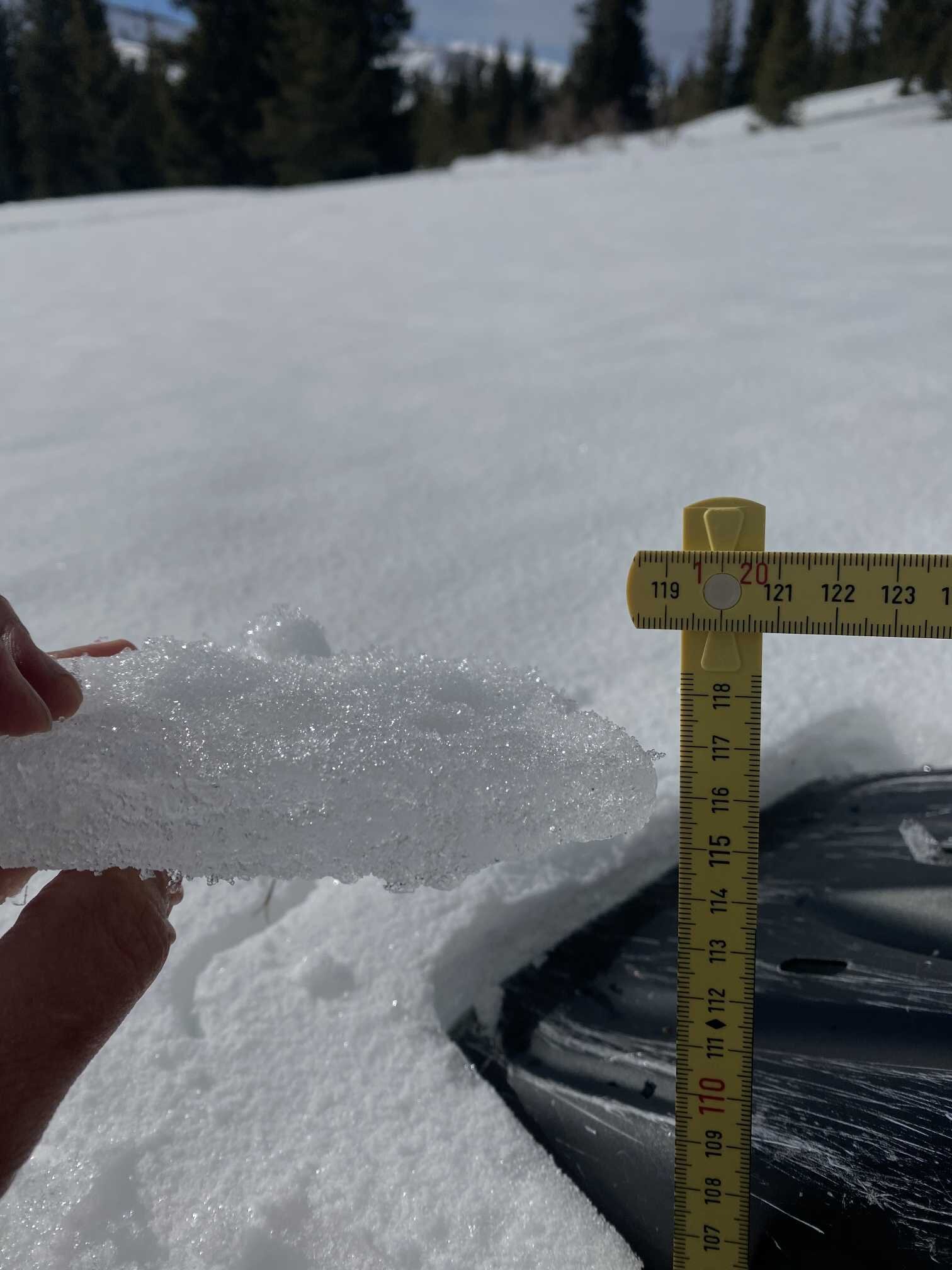
As has been the case for about ~10 days now, dust event #3 is on the surface of the snow. Fortunately D3 has not intensified in severity over the past week, which is often the case when dust is initially diffuse in the new snow accumulation and becomes more severe with consolidation. D3 may likely be heavier on the San Miguel side of the mountain because when deposition was taking place folks near Telluride reported a mocha colored snow and that was not the case near Silverton that we noticed.
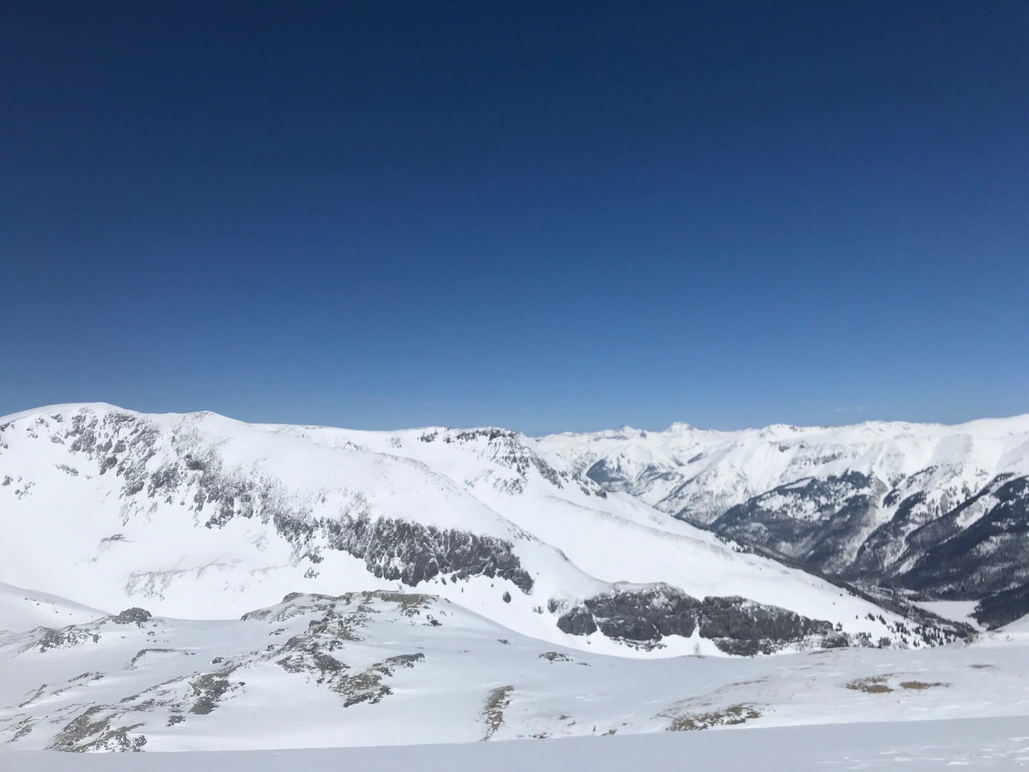
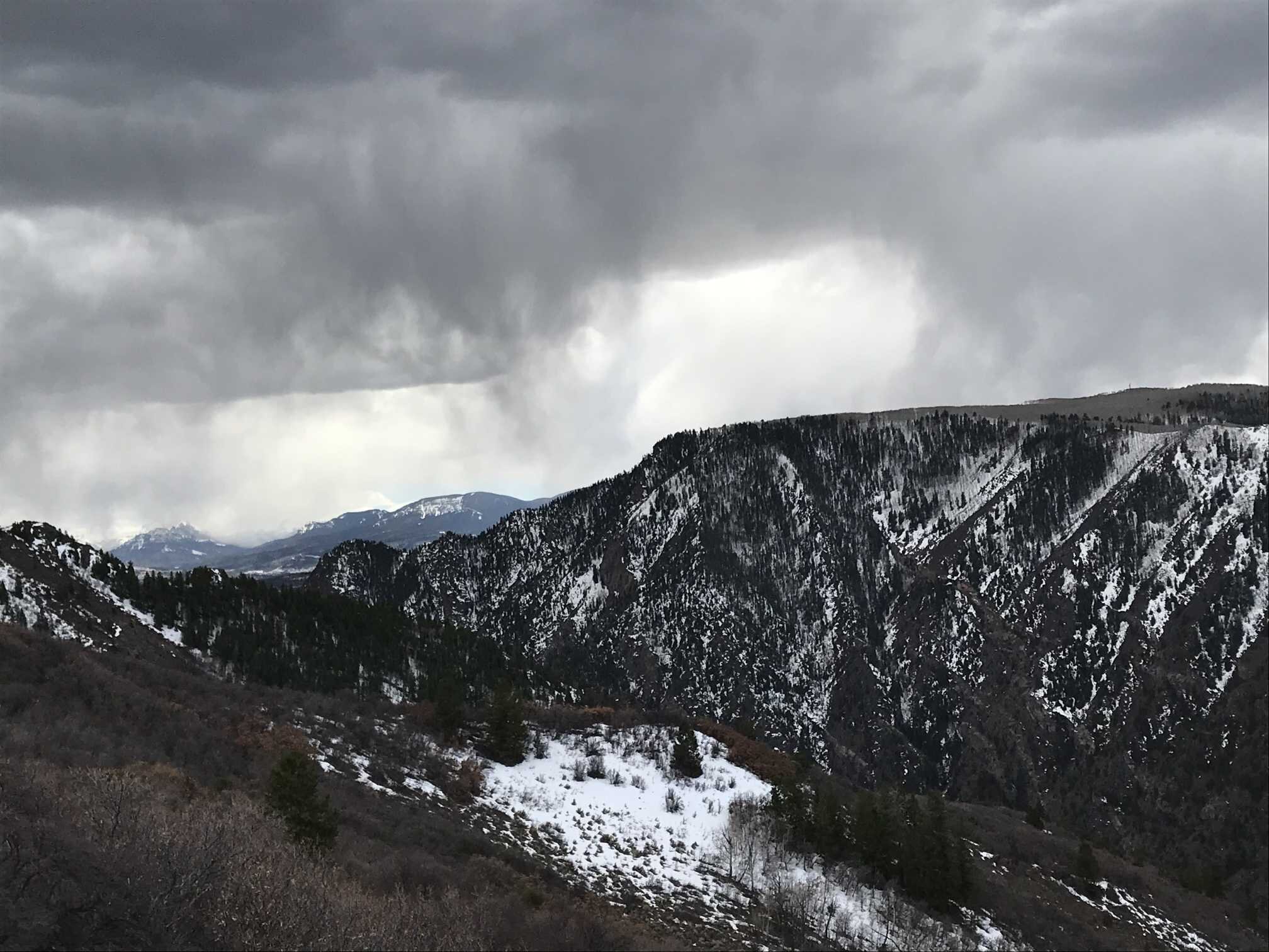
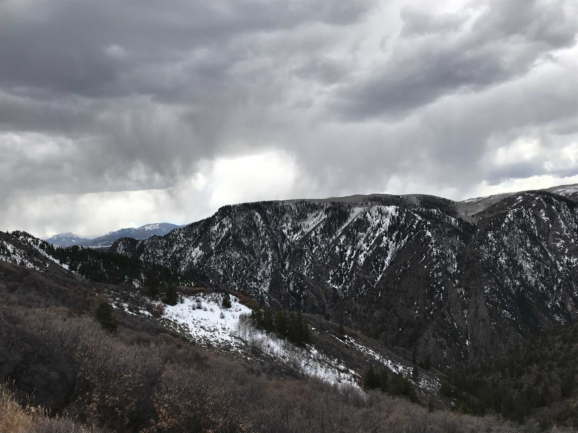
Conditions change as you drive south on 550 from Silverton, La Platas and peaks around Coal Bank and Molas (Molas has obvious dust) show a very dusty surface, on par with Wolf Creek. Going north from Silverton the dust on snow surface decreases.
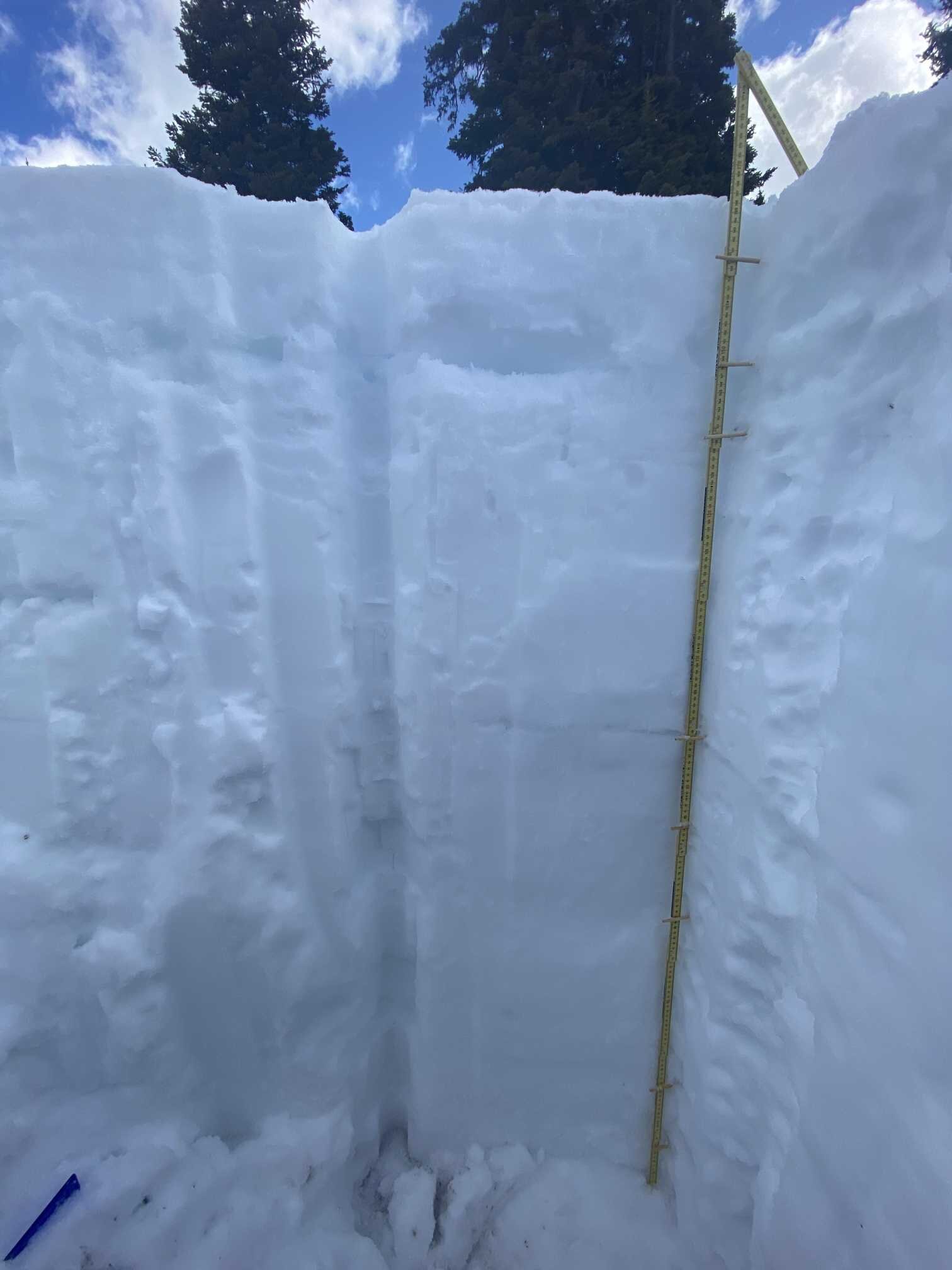
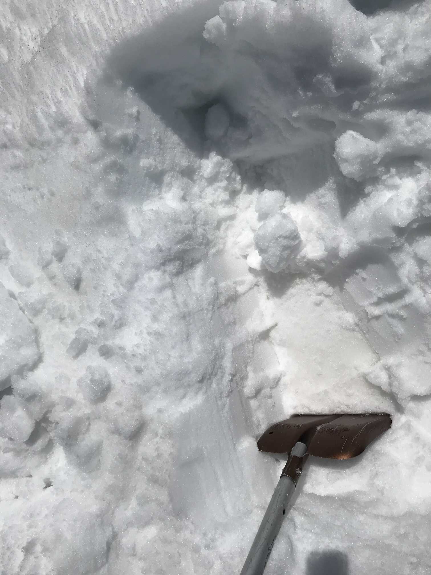
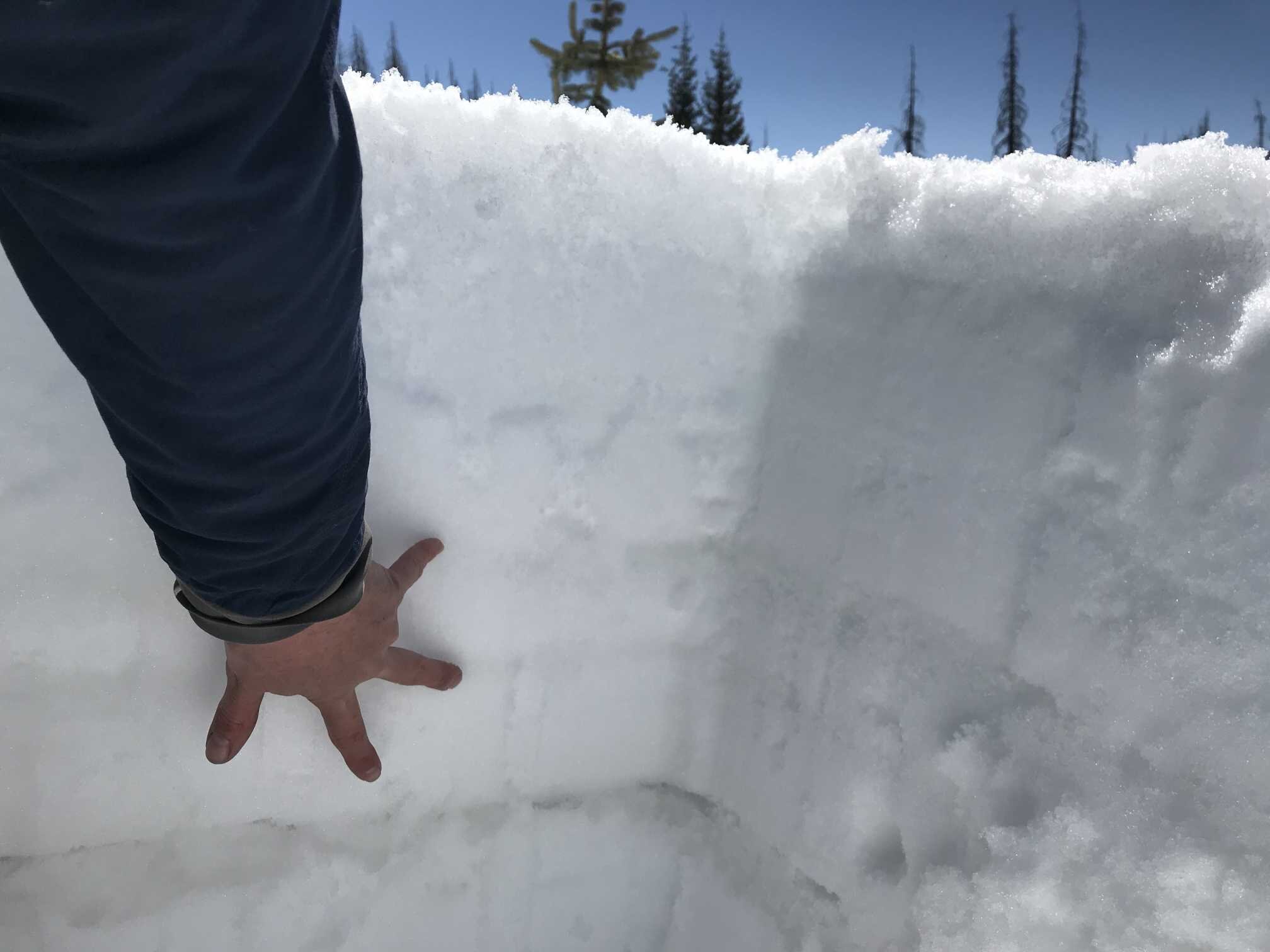
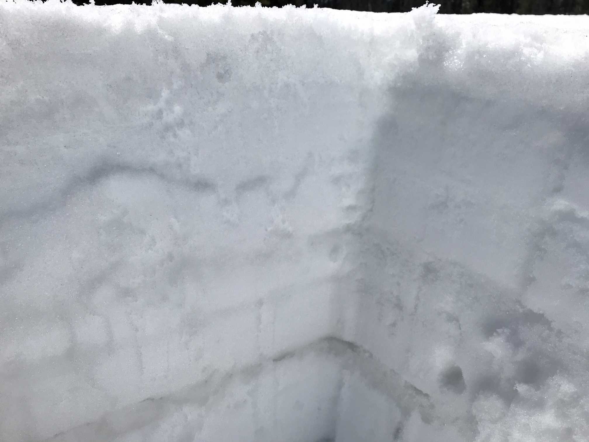
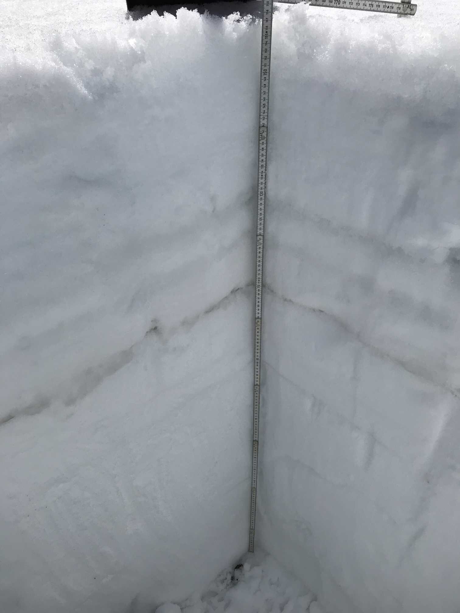
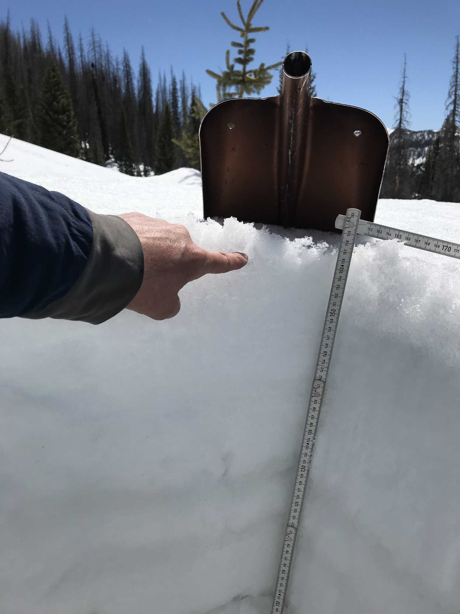
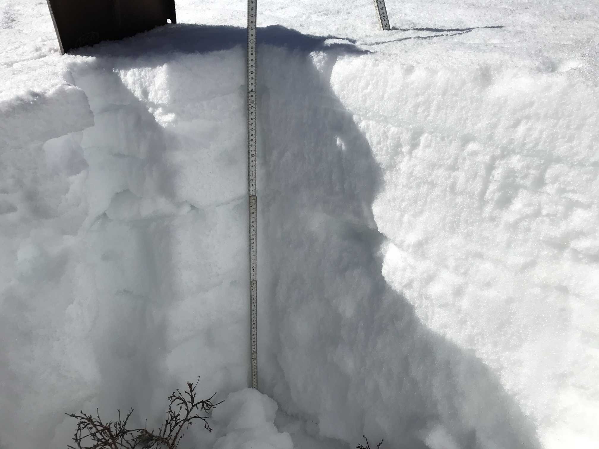
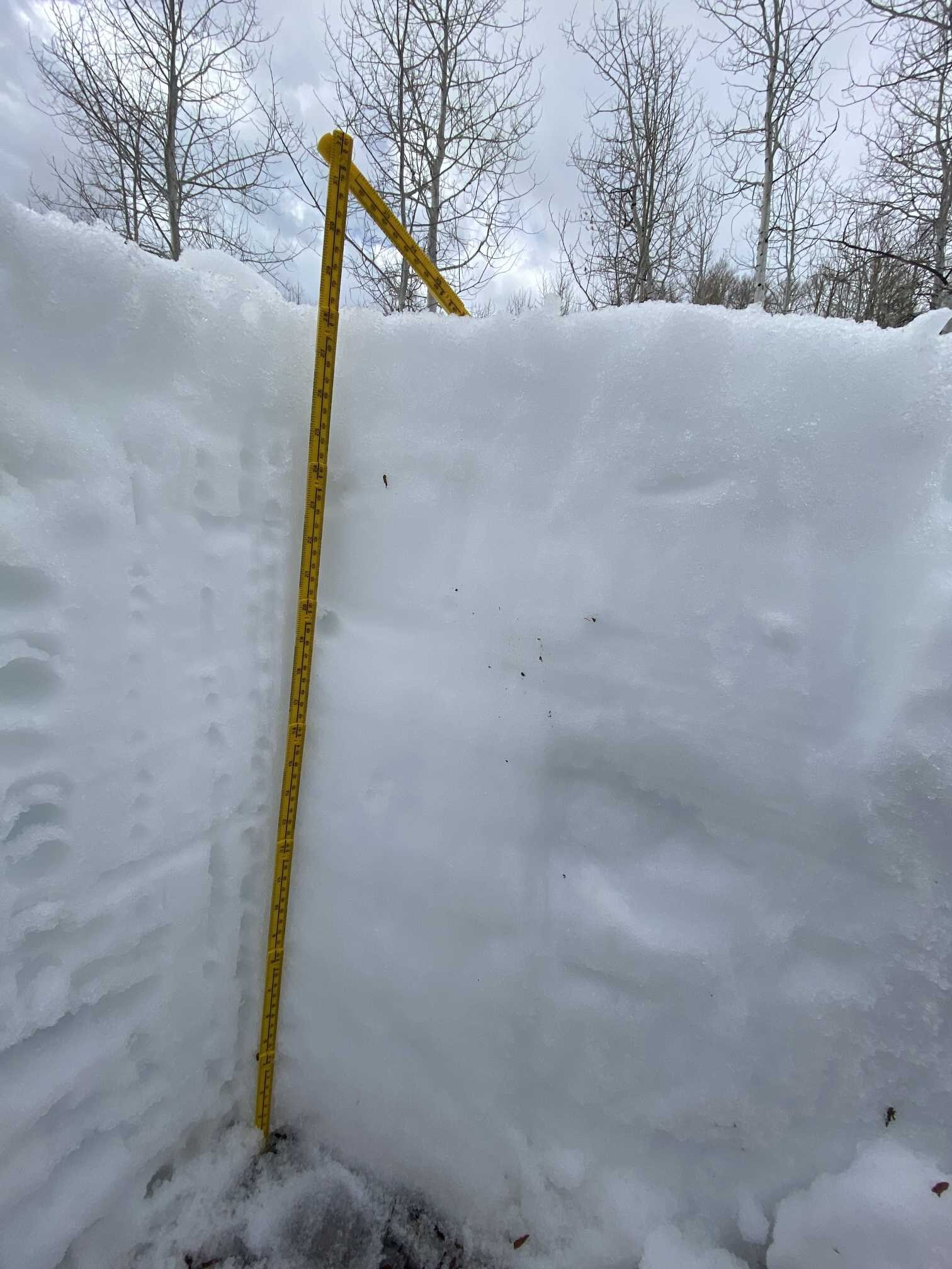
The season’s first dust event is an obvious layer ~2’ below the surface. SBSP (12,200’) snowpack is still pretty cold. The cold temperatures these last few days have re-frozen upper portion of snowpack at SASP, even though it is still isothermal.
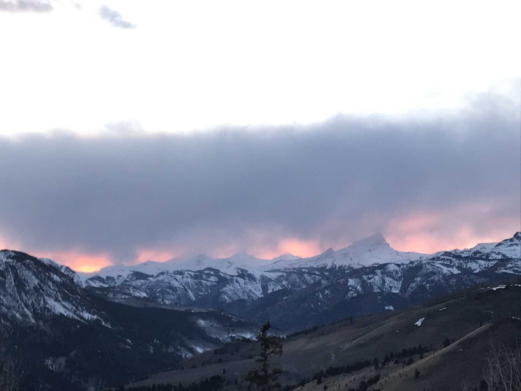
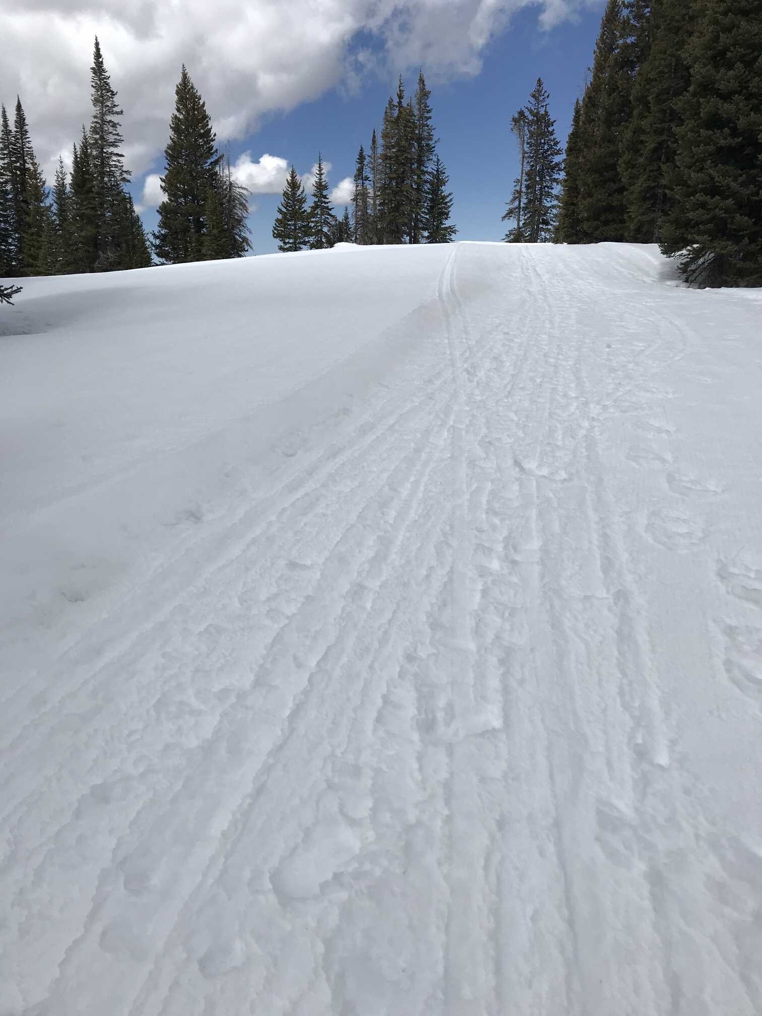
Wolf Creek Pass (April 11)
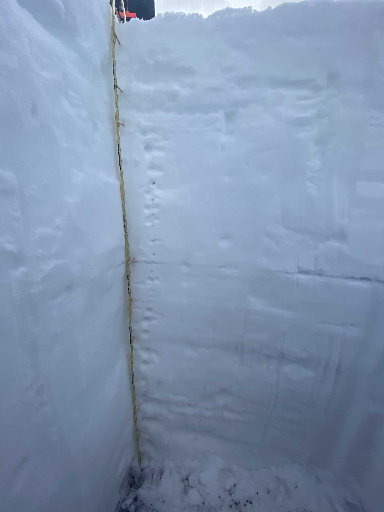
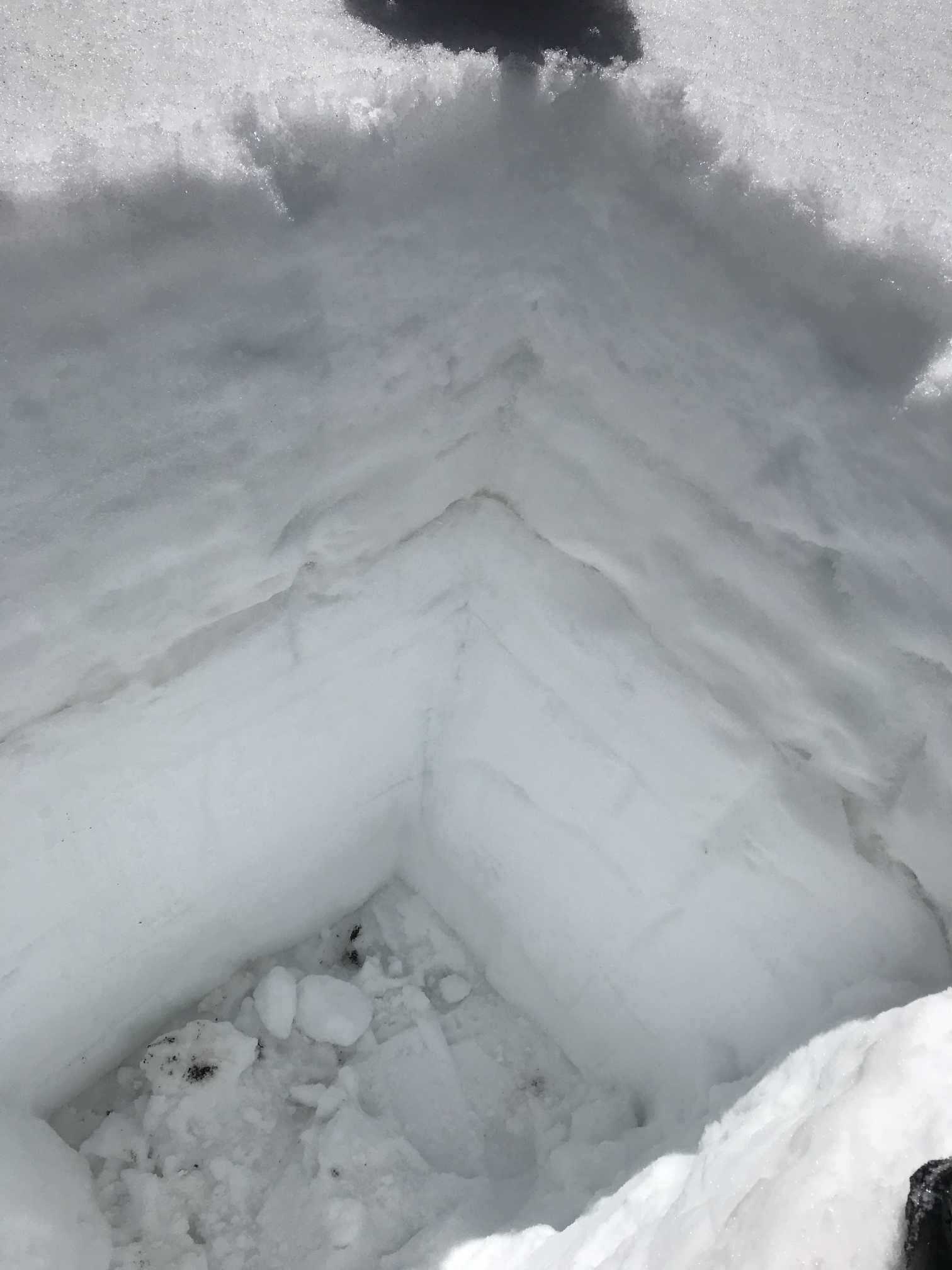
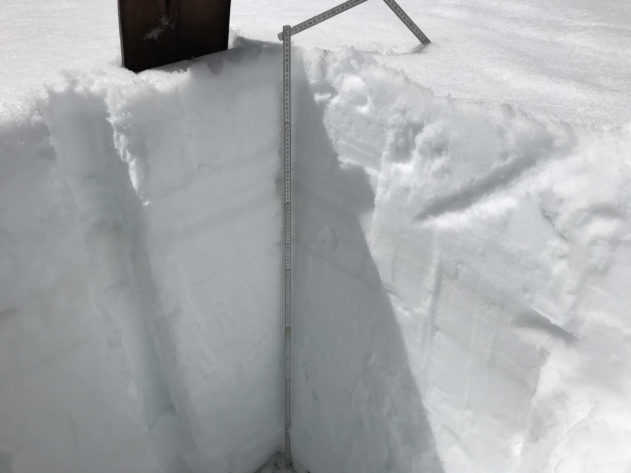
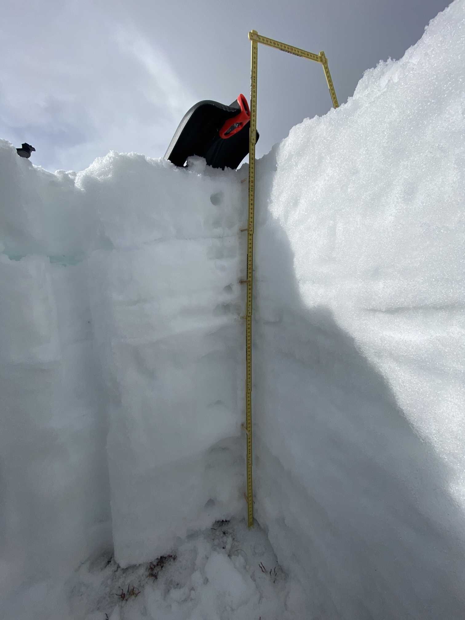
Obvious dust in the peaks above the ski area and to the southwest. Dust intensity is greatest in wind-loaded areas therefore a high degree of spatial variability in distribution. Dust can be seen in old tracks leading to pit site. Strong dust on very rough snow surface. Snow profile shows four dust layers, one layer extra than Swamp Angel. These are at the surface, 12’ below the surface, 15” below surface, and close to 20” below surface. Snowpack is isothermal. The top 1.5’ is wet to very wet, lower portion is moist.
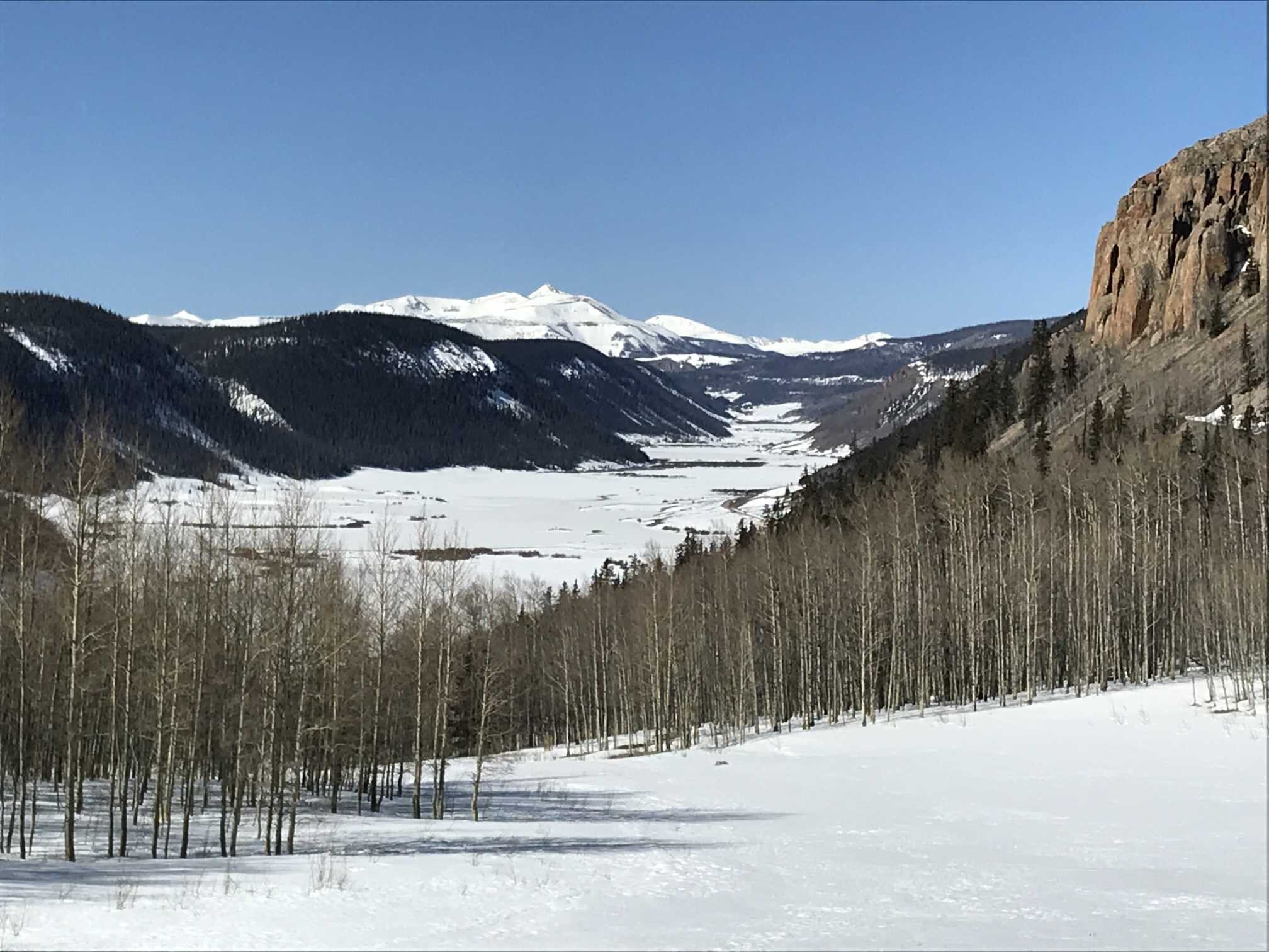
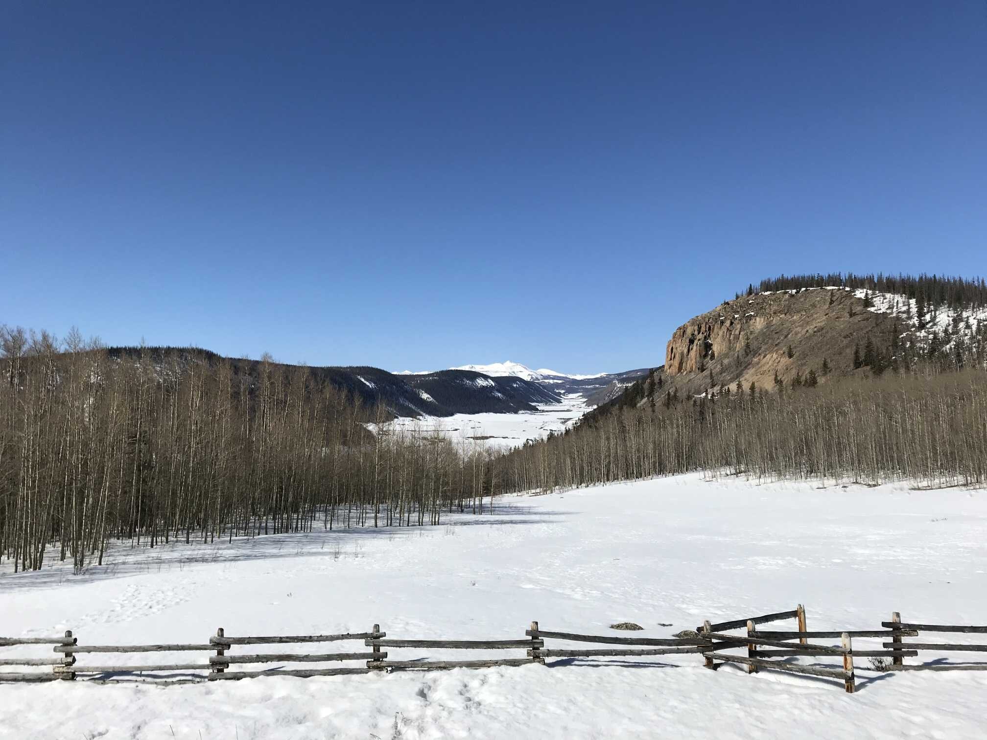
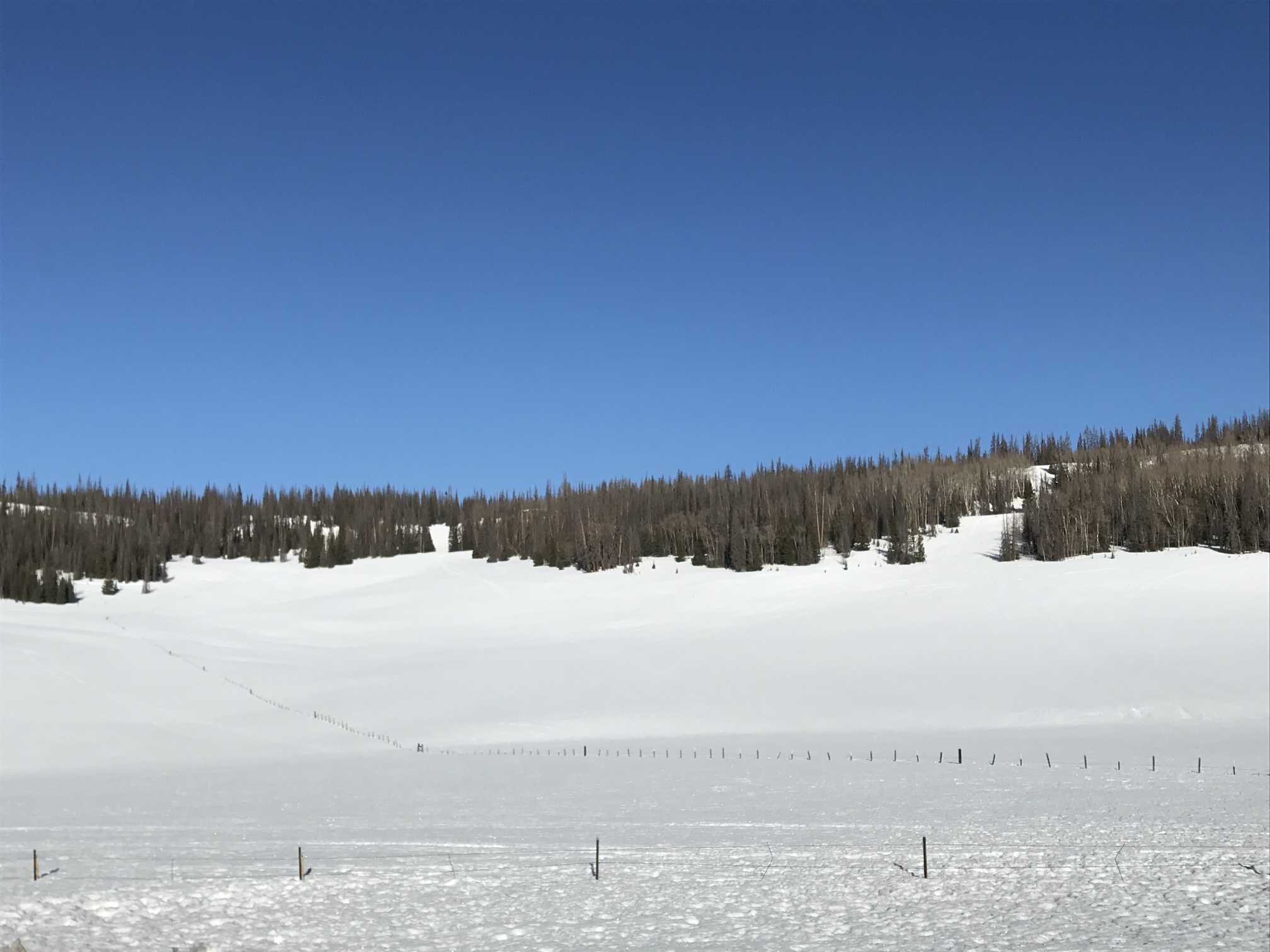
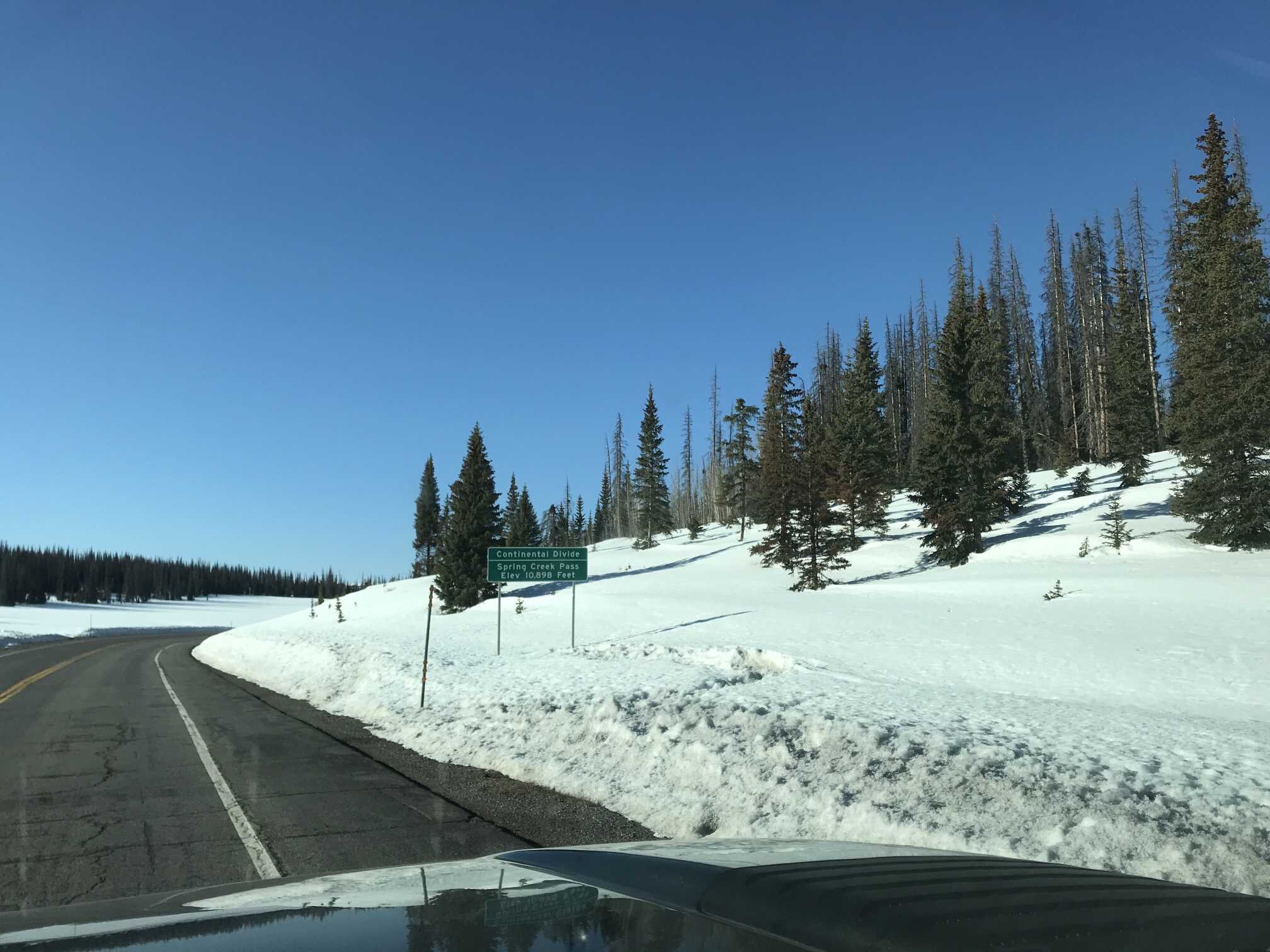
Spring Creek Pass (April 11)
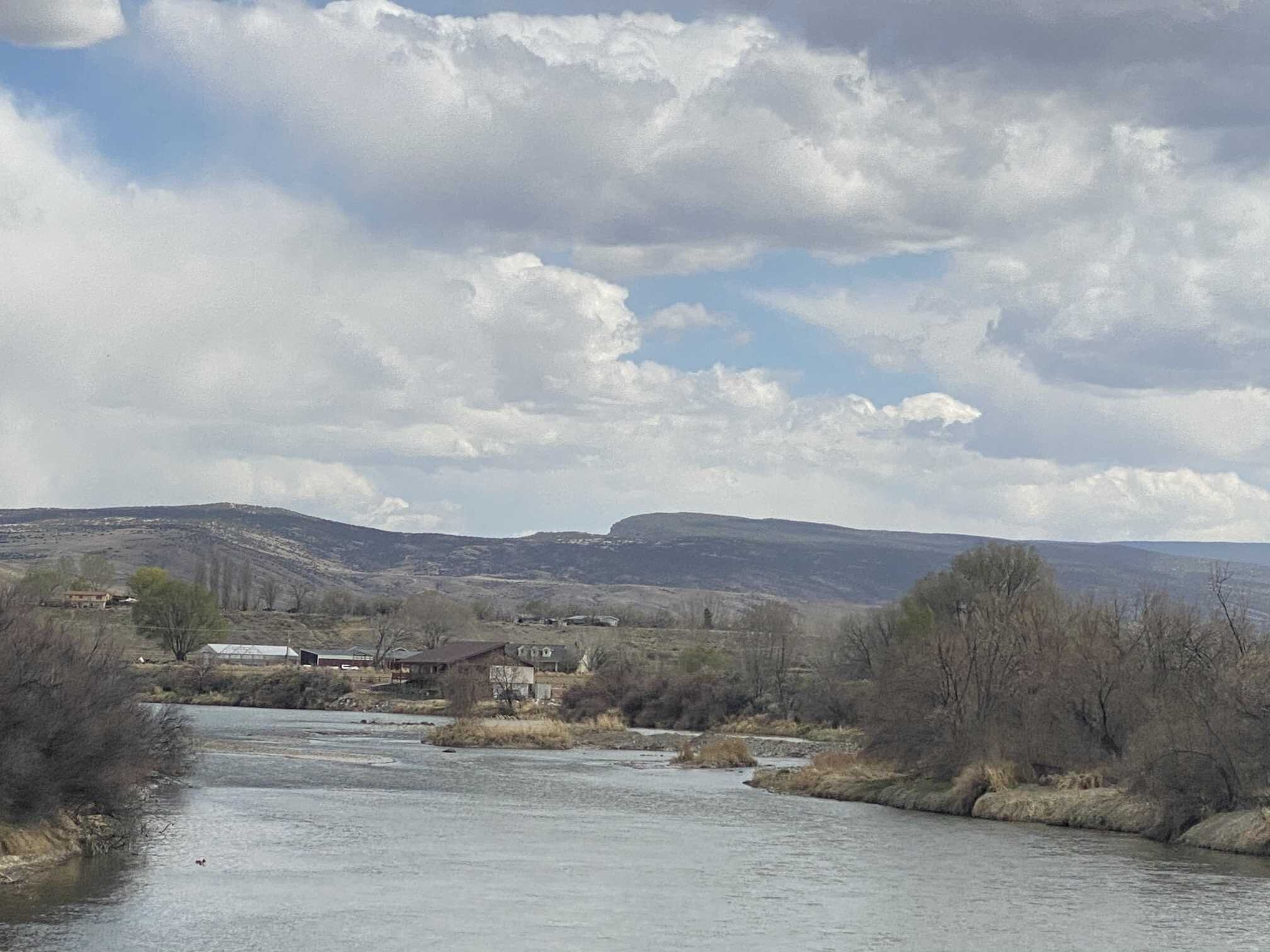
Some obvious dust observed in North San Juans as seen from Slumgullion Pass. At study plot, skiff of new snow hides surface roughness and slightly dusty surface. Obvious dust blown into old tracks. Intensity of dust went up drastically on the south side of spring creek pass and continued to increase to wolf creek pass. Rio grande valley shows dust and river is clear. Mean snowpack temperature is -2.1 degrees C. Most of the snowpack is 0 degrees and moist throughout. The average temperature is skewed colder because it is a relatively shallow snowpack and was visited early in the chilly morning.
Park Cone (April 10)
Dust intensity was least obvious here of all the southern sites. At first glance, looks clean, but surface roughness and coalesced dust on surface proves otherwise. Snowpack is isothermal and wet throughout.
GRand MEsa (April 10)
Light dust observed on surface of snowpack on drive up Grand Mesa as well as approach to study plot. Light dust can be seen on edge of tracks. Light dust can be seen on surface and in some profile layers. Two layers were observed, one is on the surface and the other 12” below surface. Snowpack is close to 0 degrees throughout with the upper portion being 0 degrees and the bottom portion -0.2 degrees. Majority of snowpack is wet.
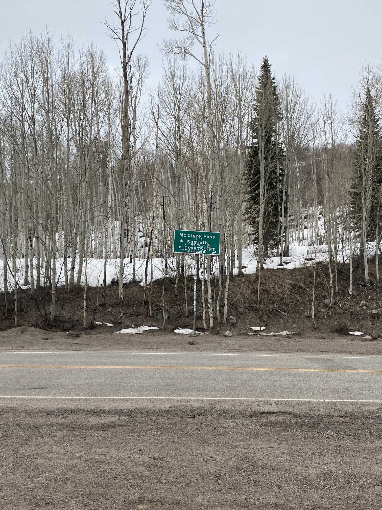
McClure Pass (April 9)
A lot of surface debris is visible at this site which is very typical. Light rain while on site. No obvious dust in or on the snow. There is the possibility of light dust on the surface that is camouflaged by surface debris. Snowpack is isothermal and wet.
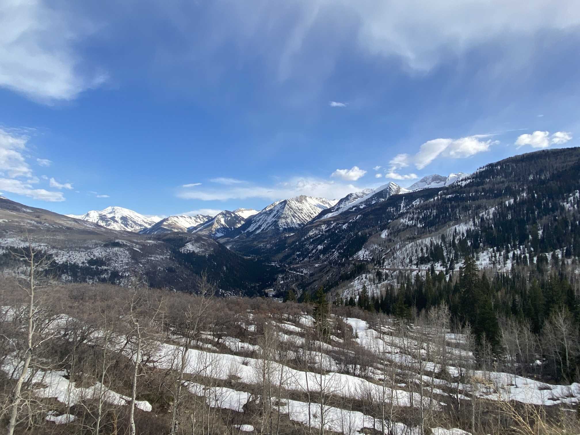
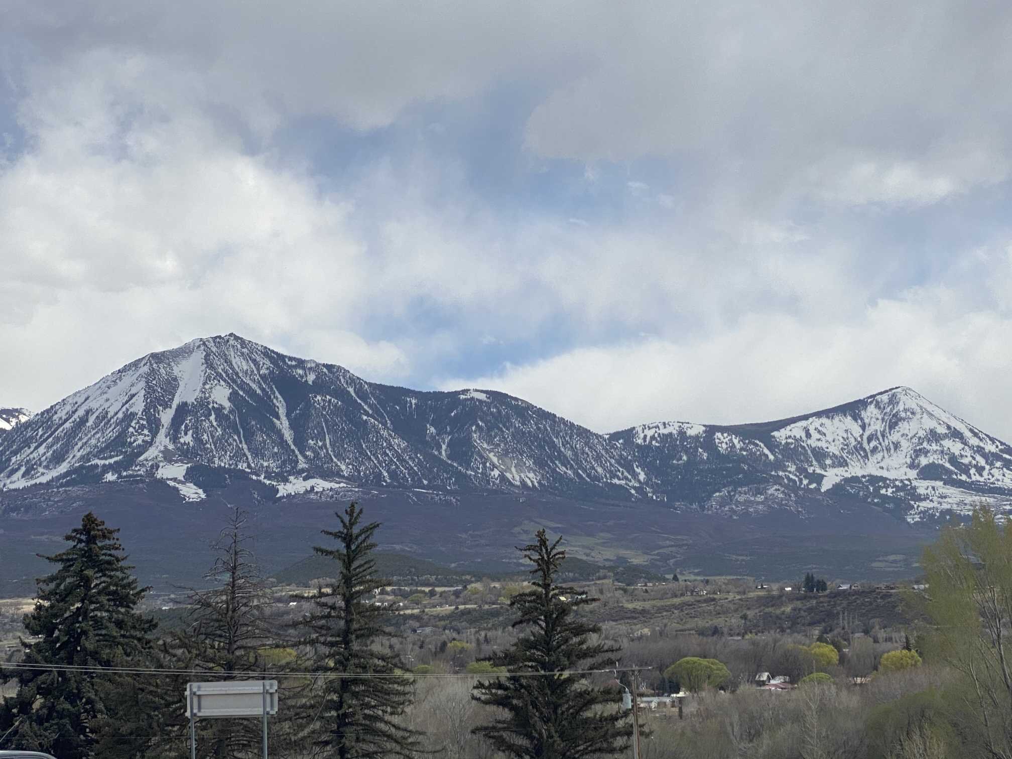

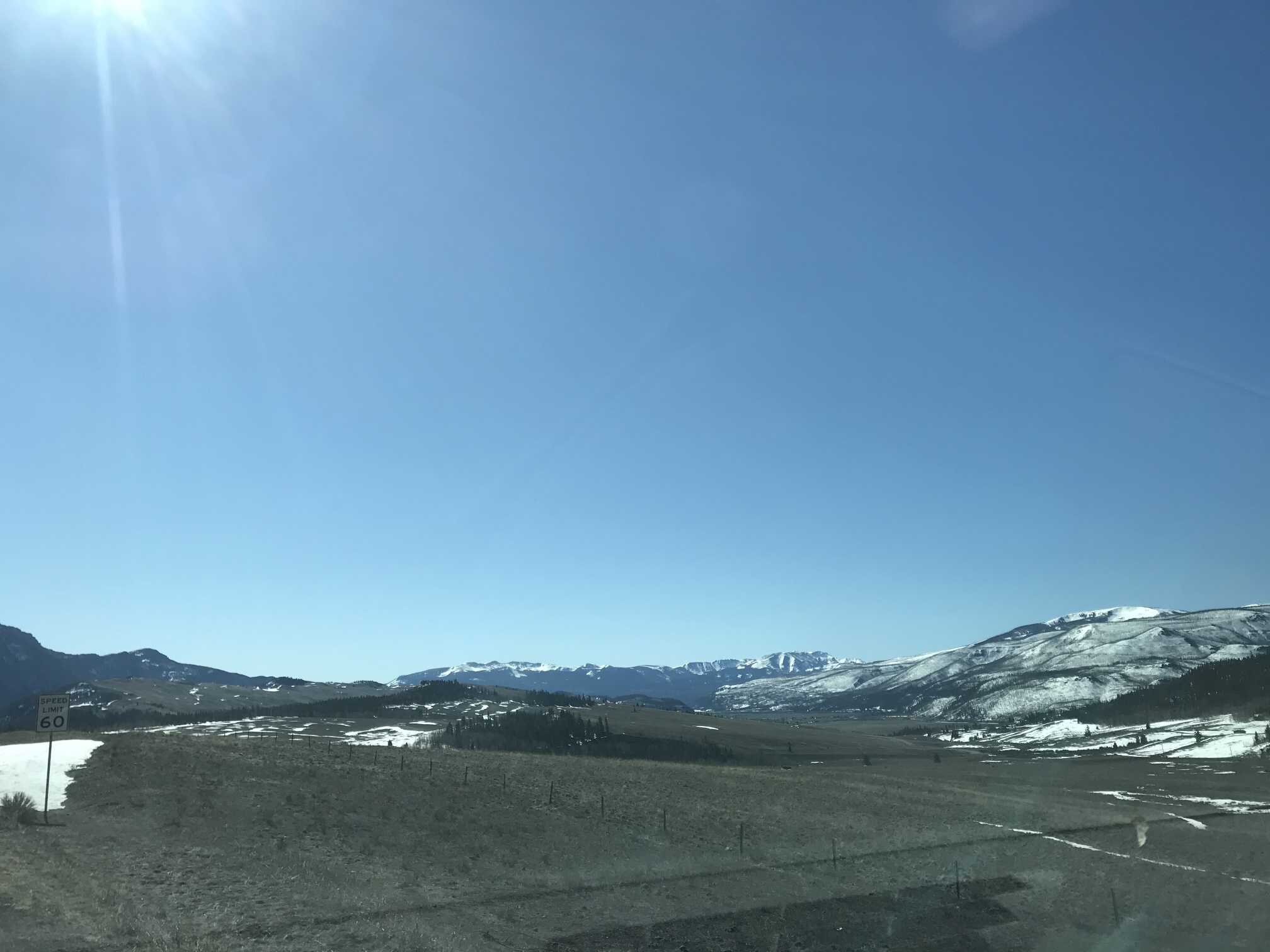
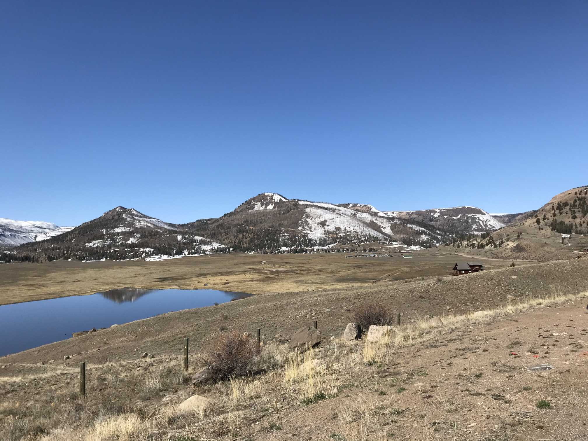
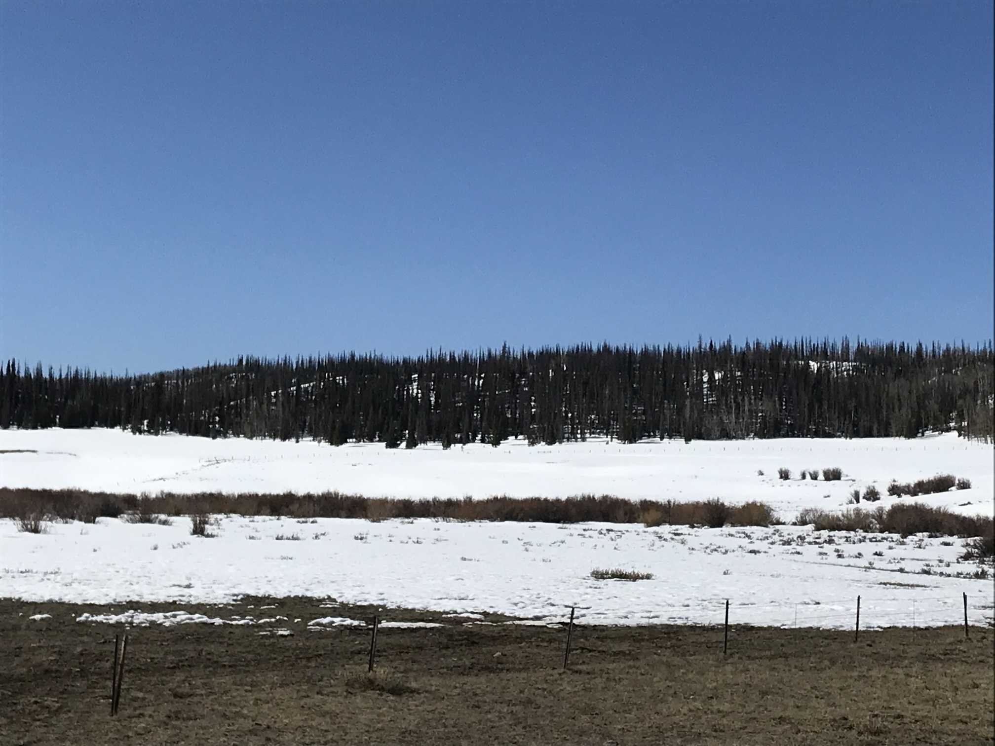
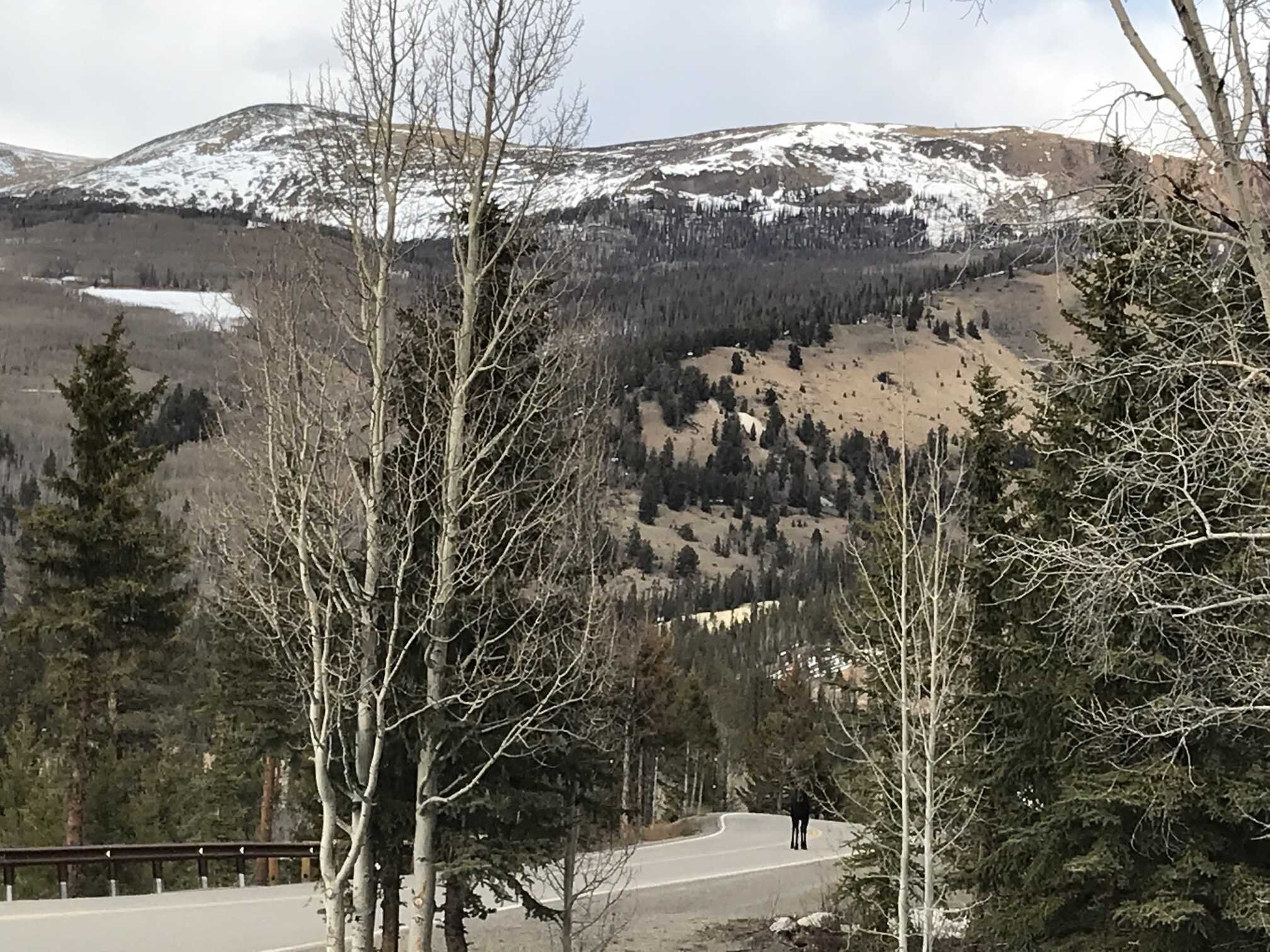
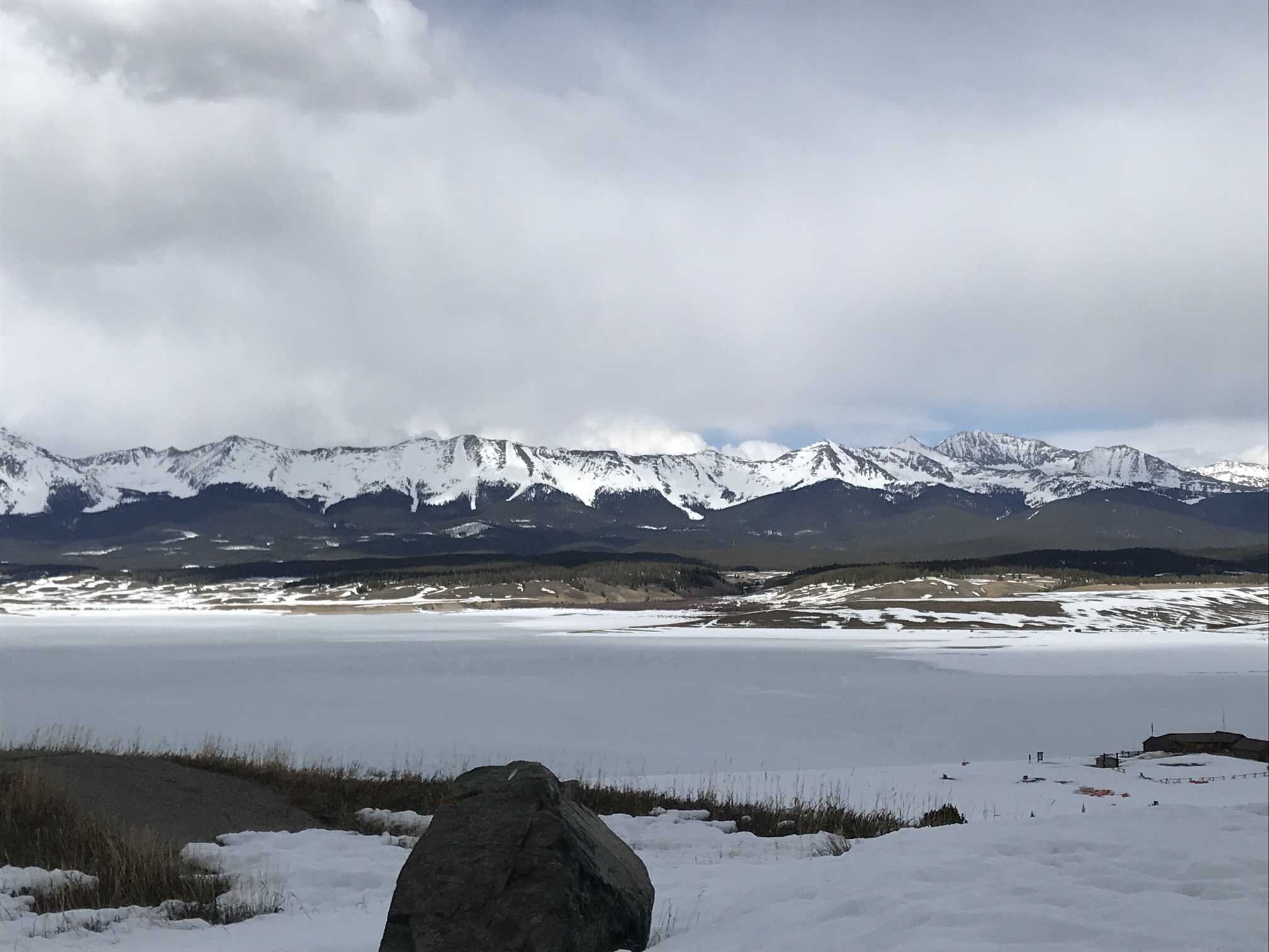
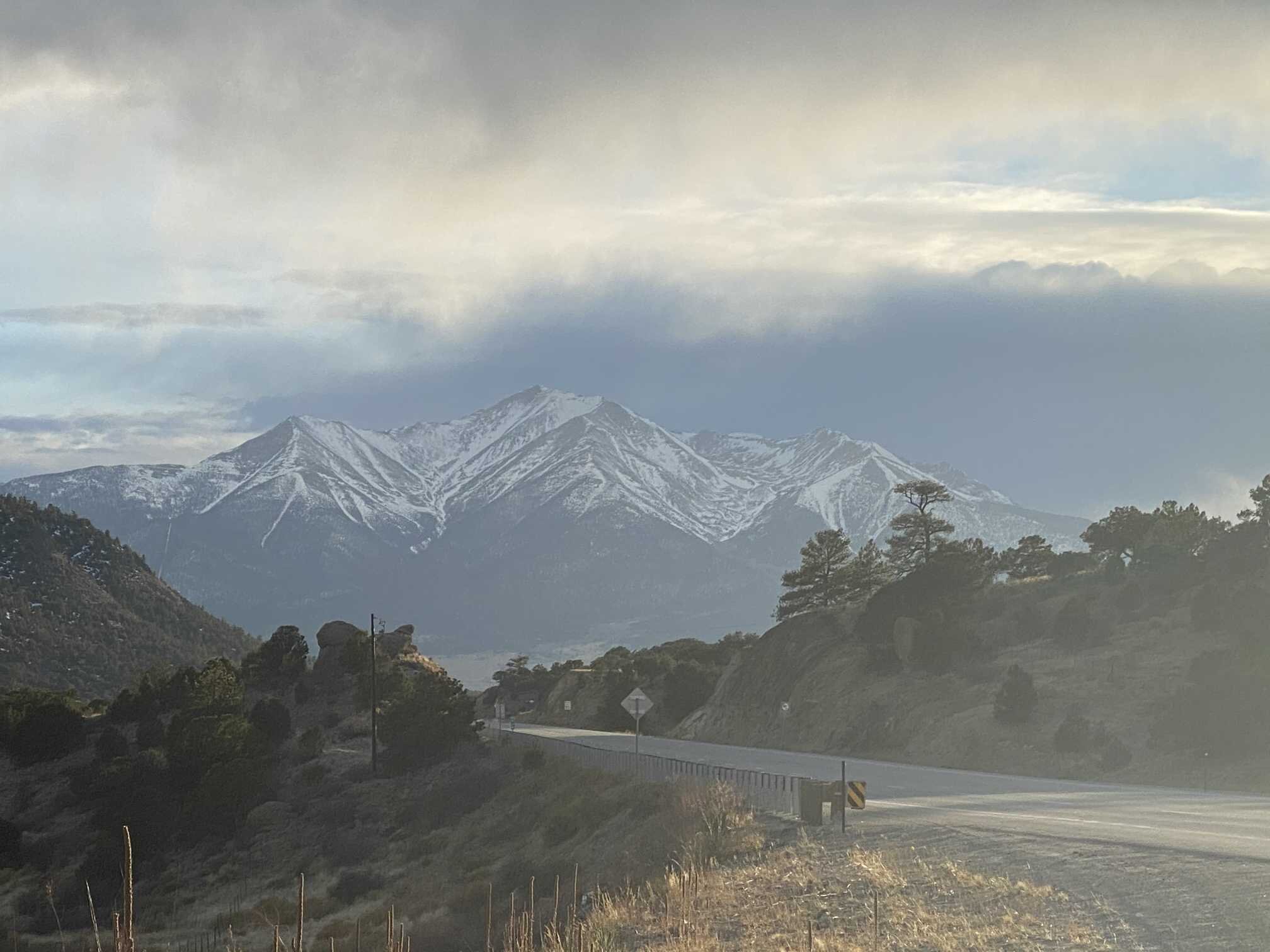
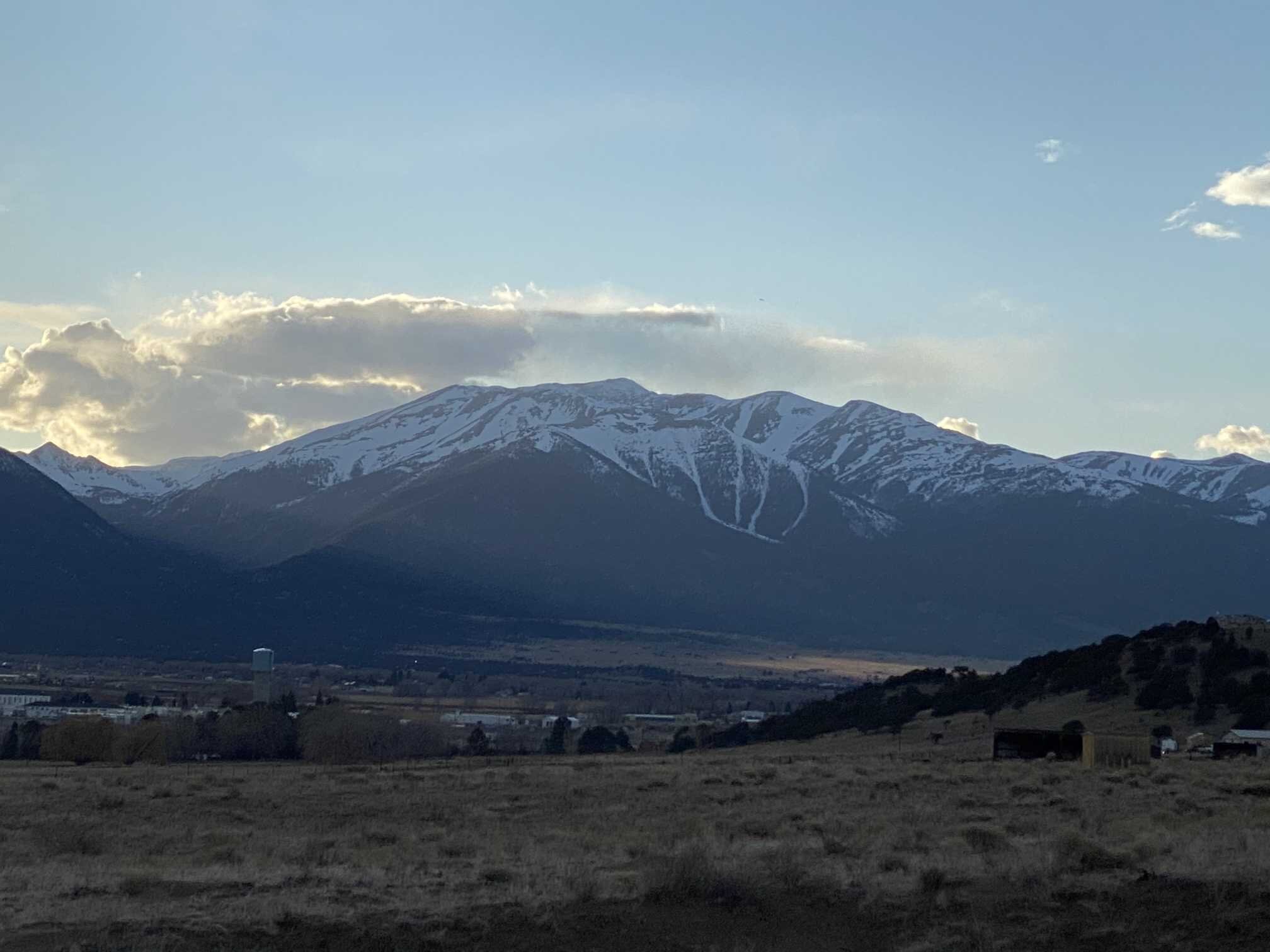
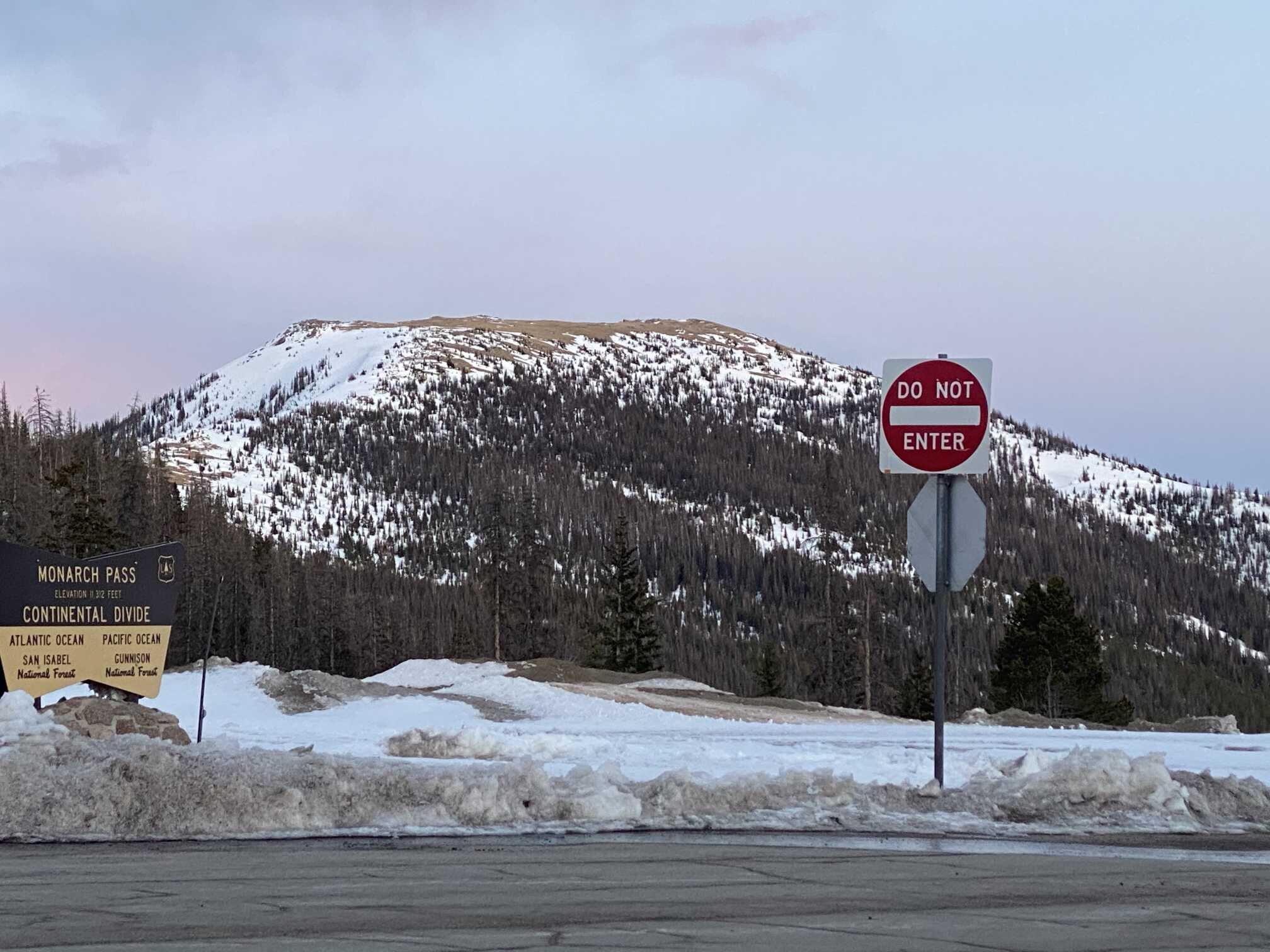
Monarch Pass (April 11)
We do not sample at Monarch Pass but took a few pictures driving over and near Salida.
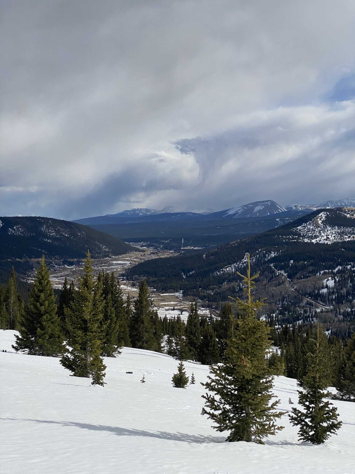
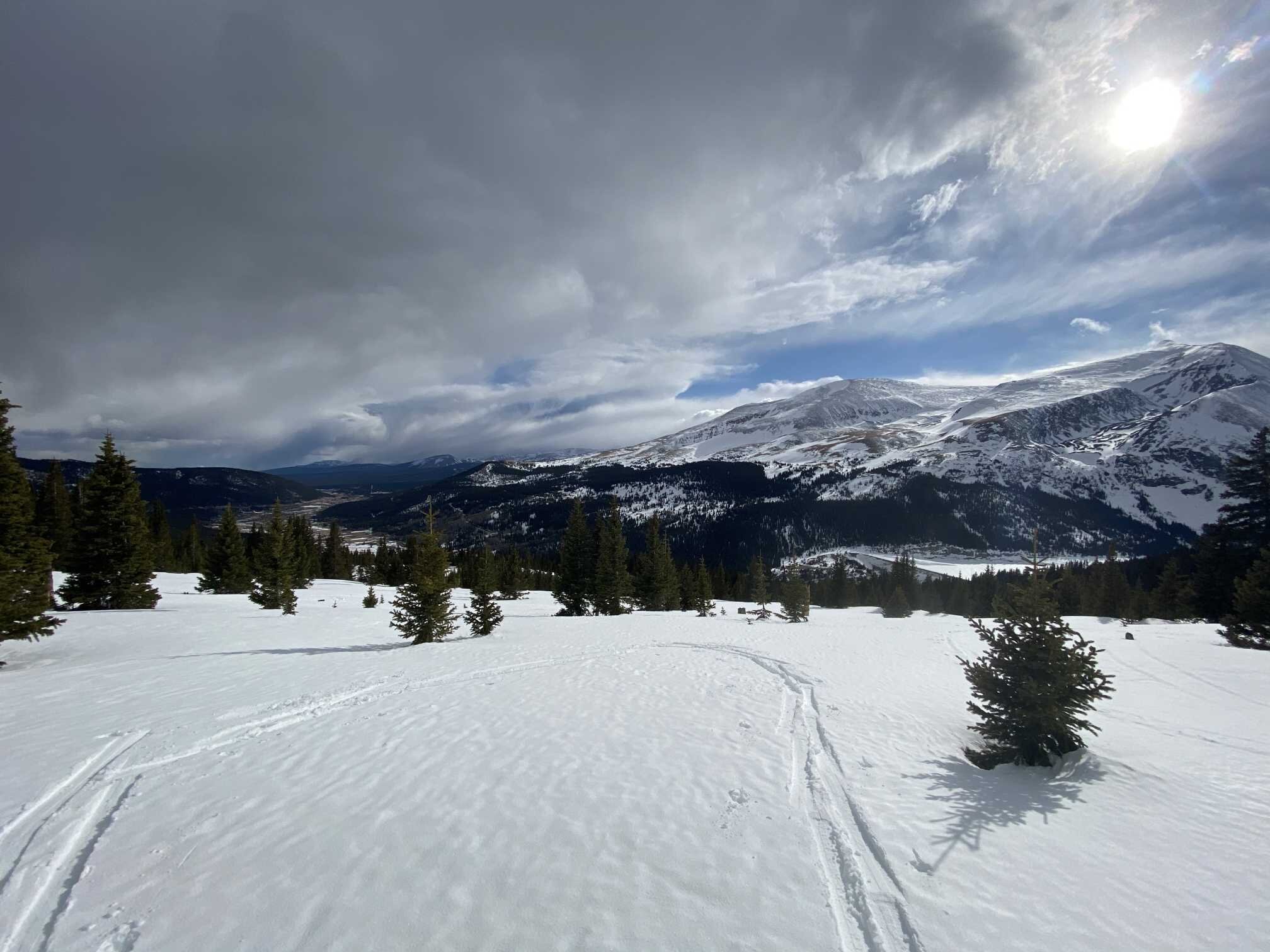
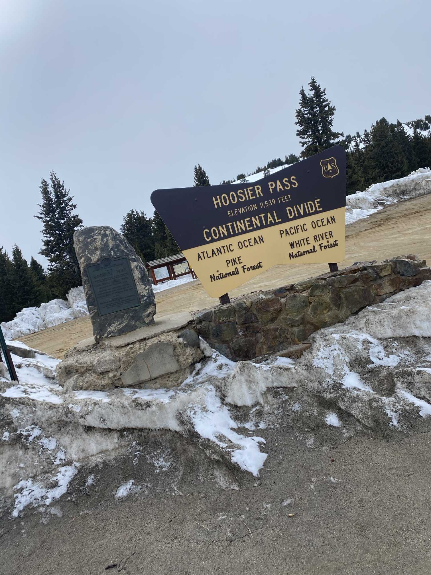
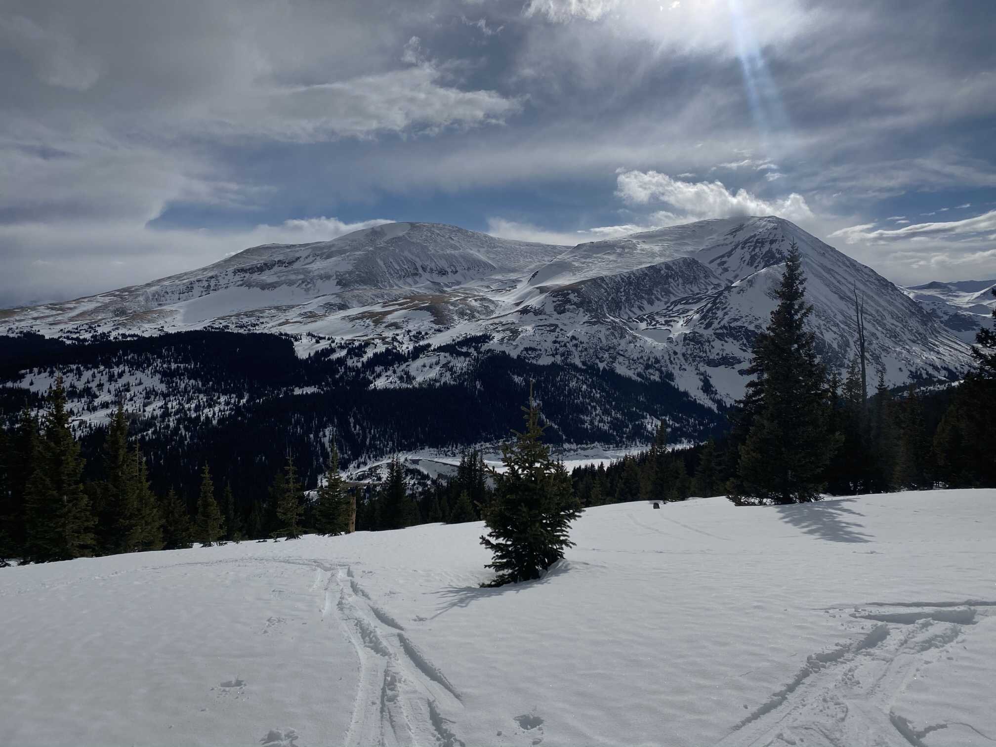
Hoosier Pass (April 10)
No dust observed. Easily collapsible snowpack made travel difficult. Last month we noted at depth 3.6’ was a possibility of a light dust layer. That depth is now near or at the surface but still no dust is apparent. Snowpack is moist -0.3 degrees on average.
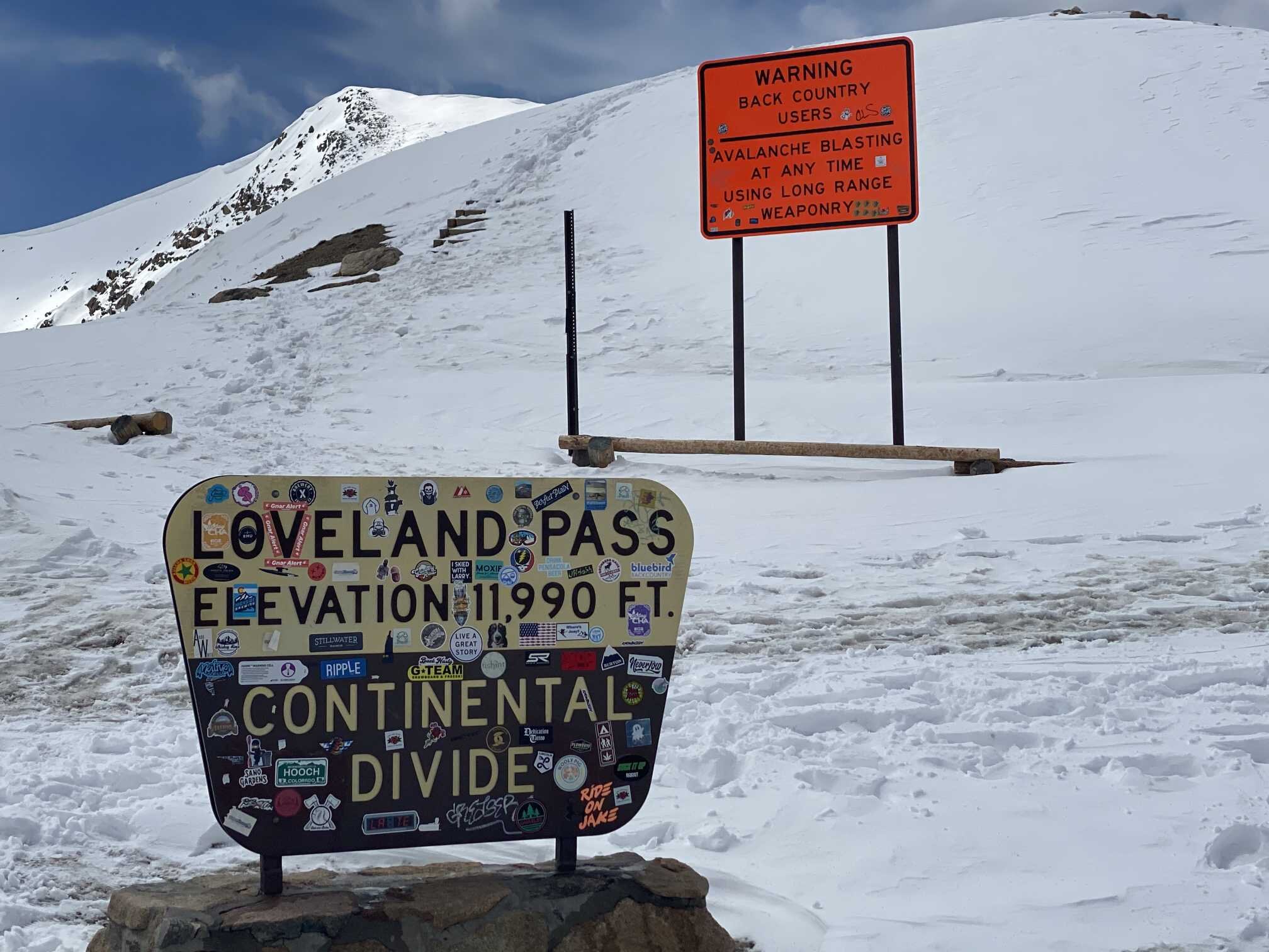
Grizzly/Loveland Pass (April 10)
Light dust likely just under surface. There are isolated small clods of dust about 12” below surface, possibly local dust. Snowpack mean temperature is -0.2 degrees C. Snowpack is moist and top 1’ is wet.
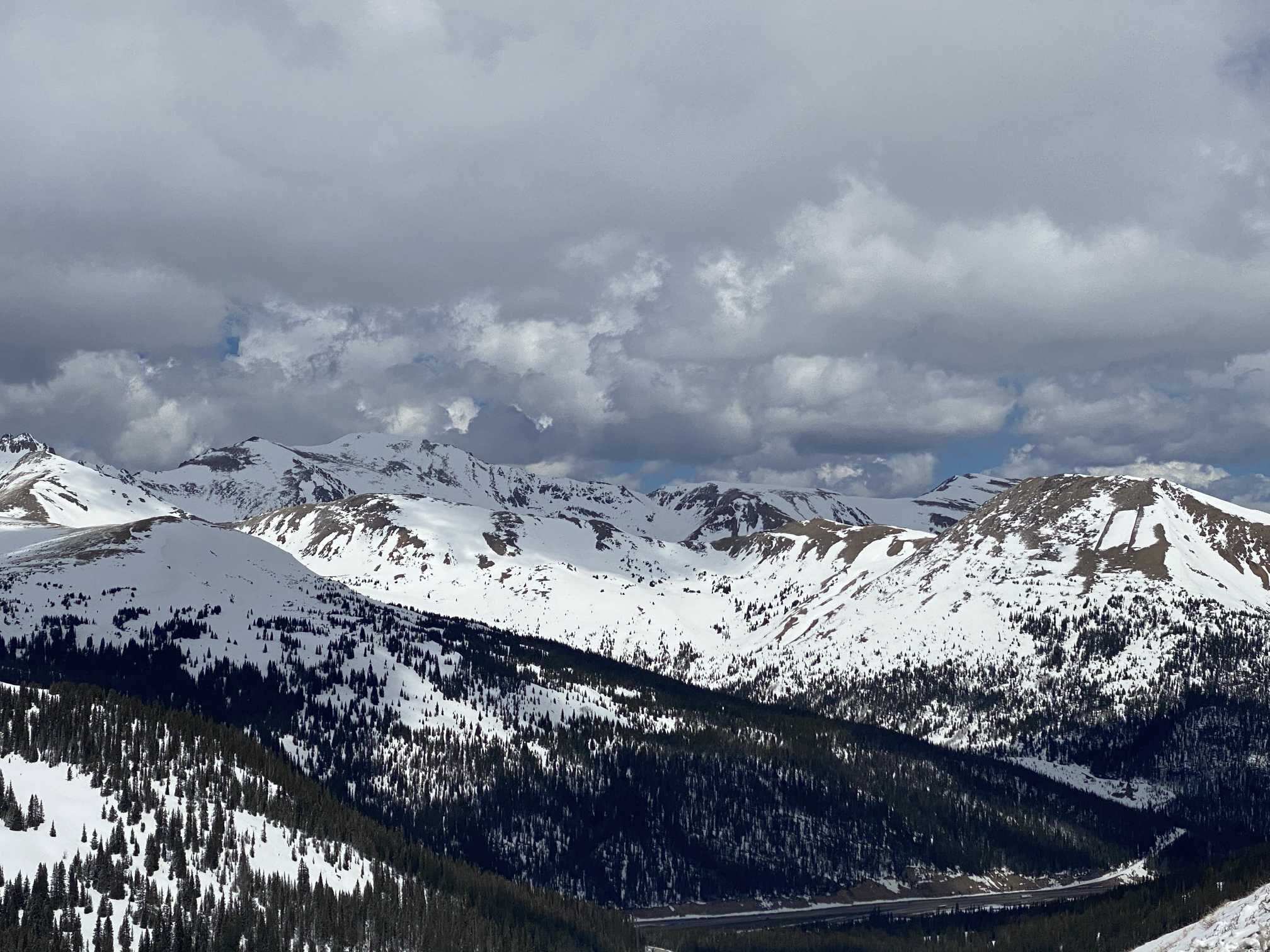
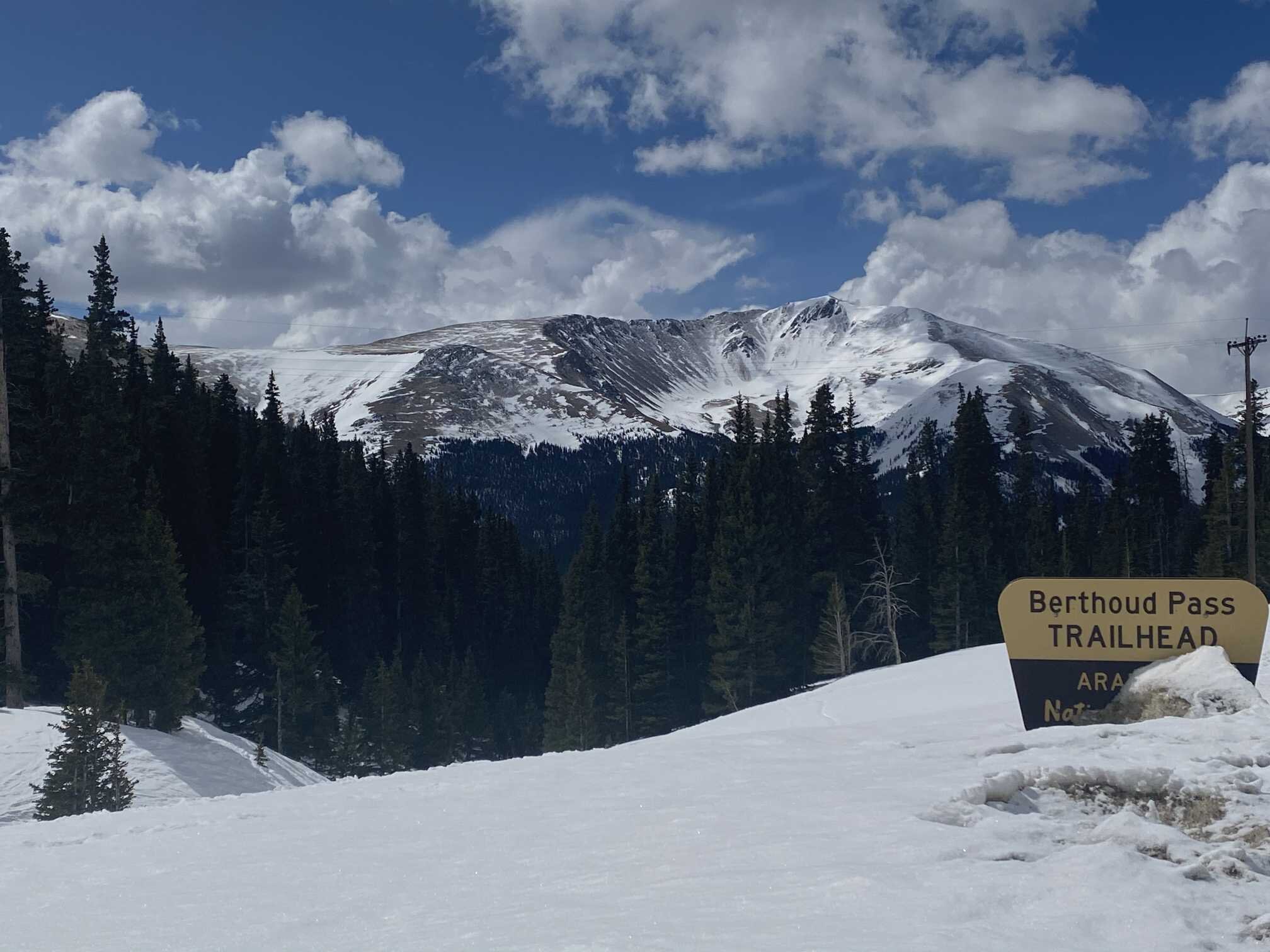
Berthoud Pass (April 10)
No dust observed at Berthoud Pass study site. The coldest snowpack observed at -0.4 and moist throughout.