CODOS UPDATE April 4, 2026: Dust, CODOS, and a bit of snow
Greetings from Silverton,
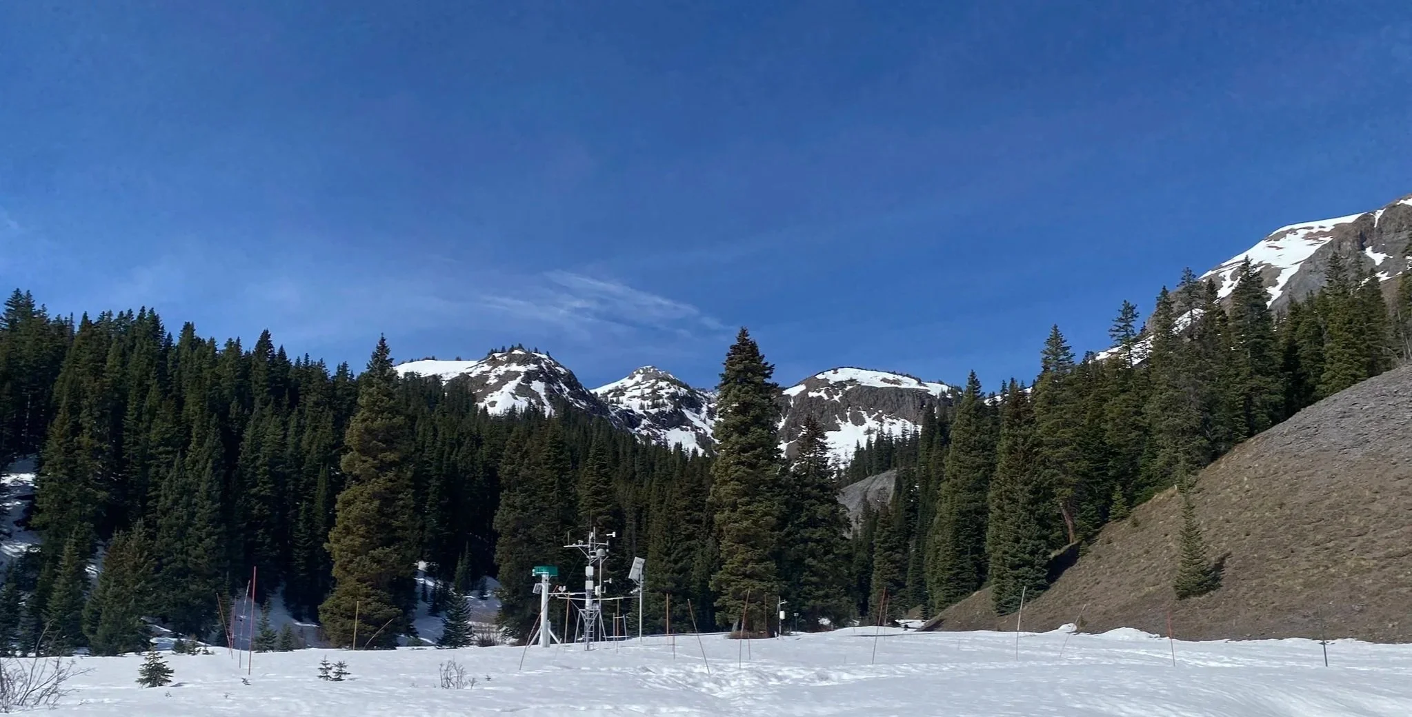
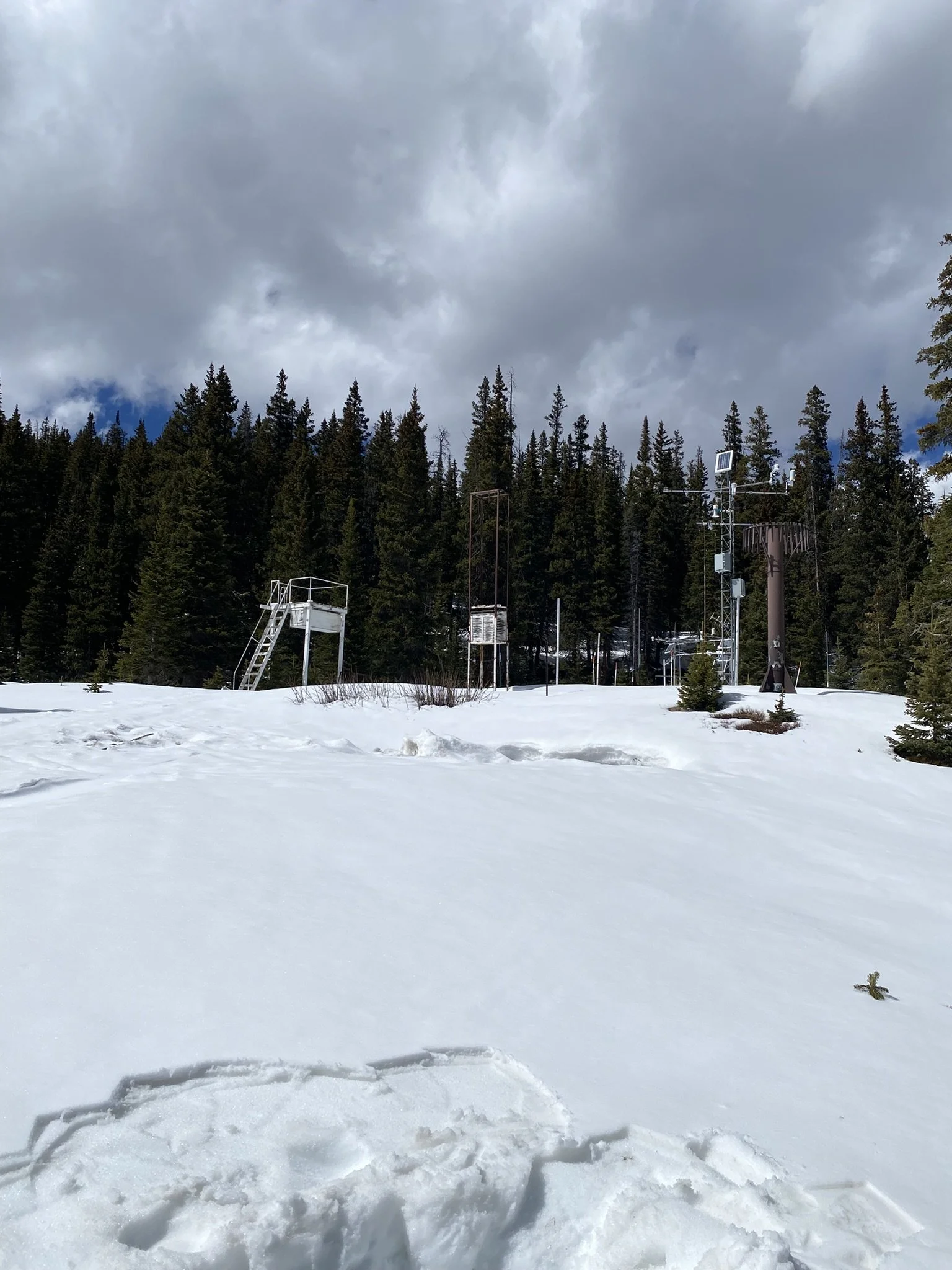
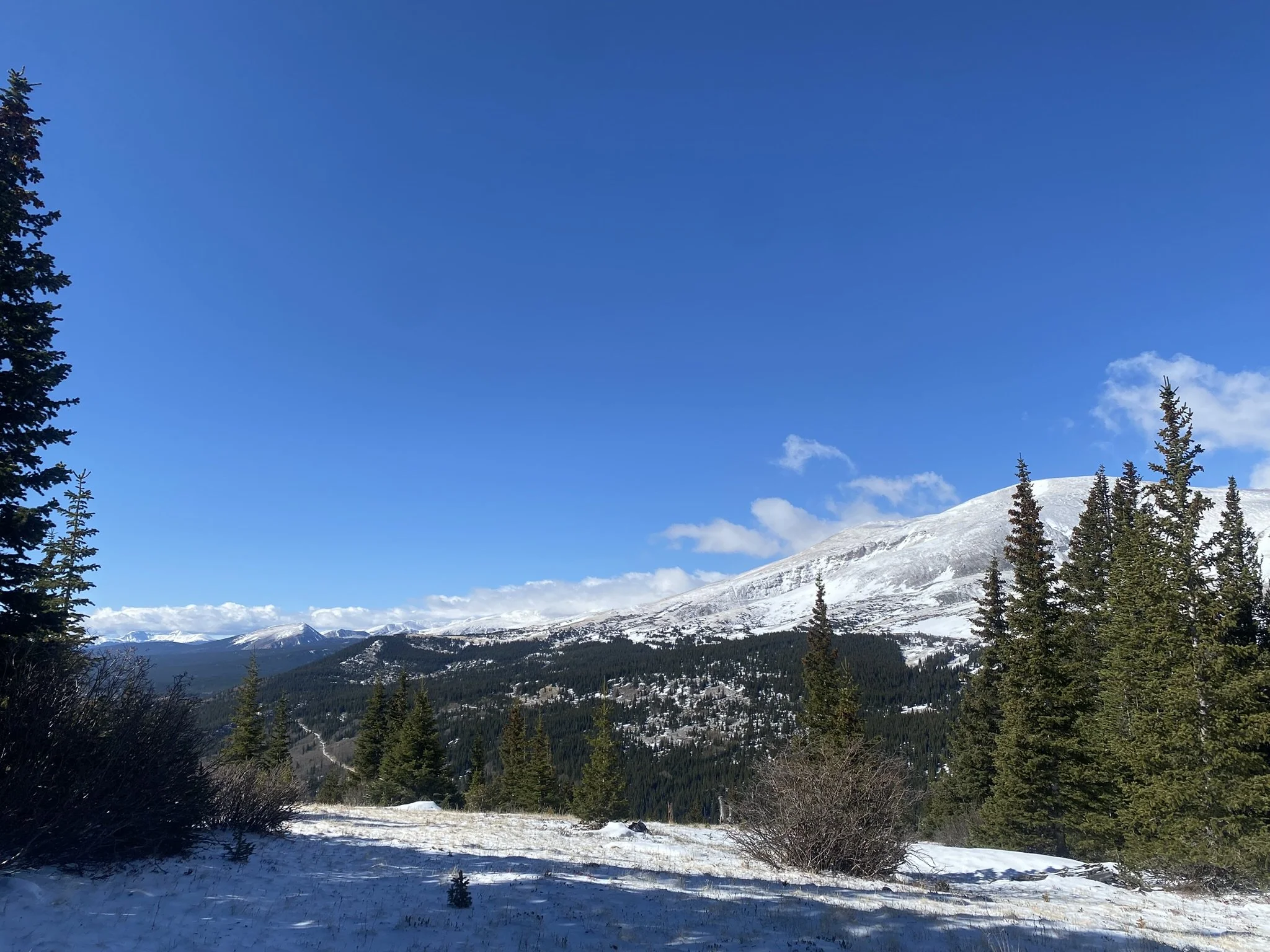
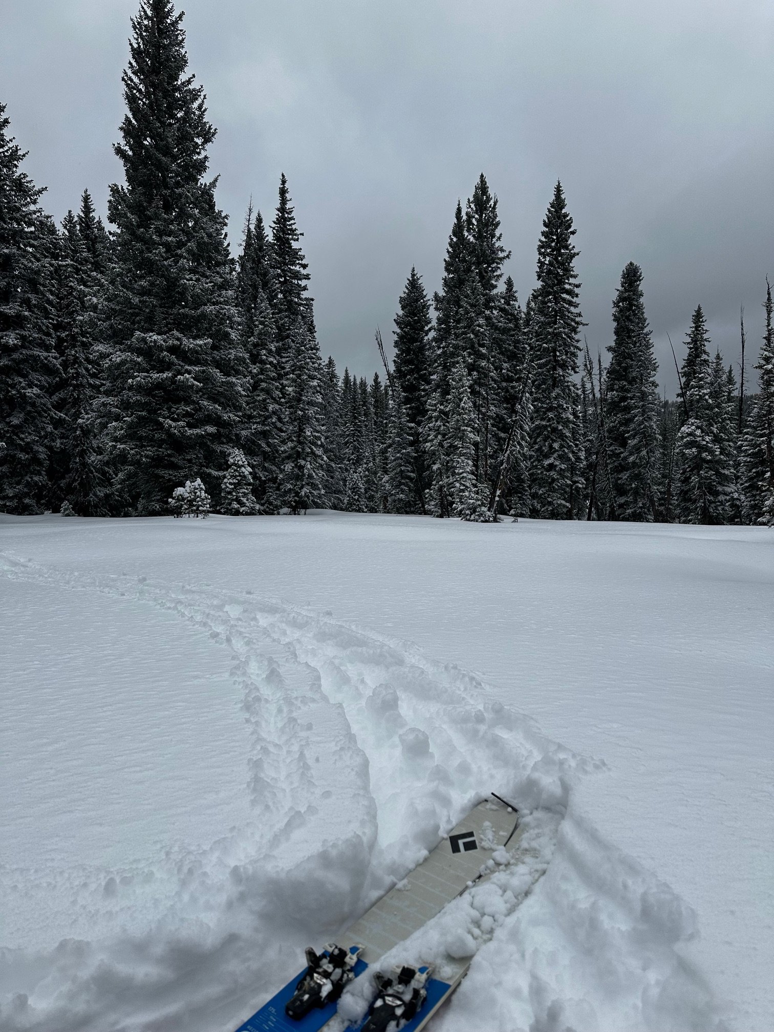
We finished the rest of our April CODOS tour on Friday, April 3. This crazy dry and hot winter required us to get out there and collect observations whenever and however we could.
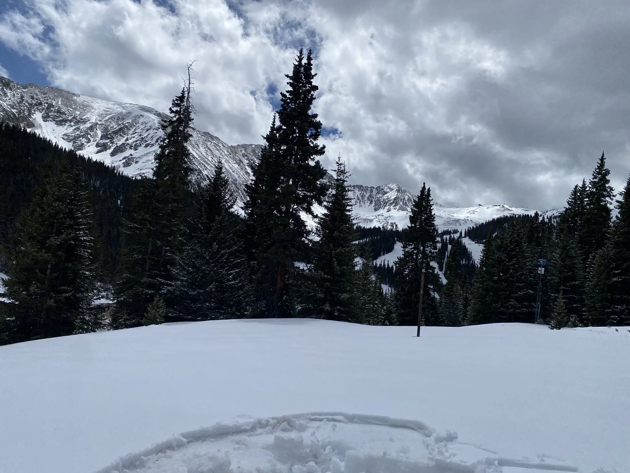
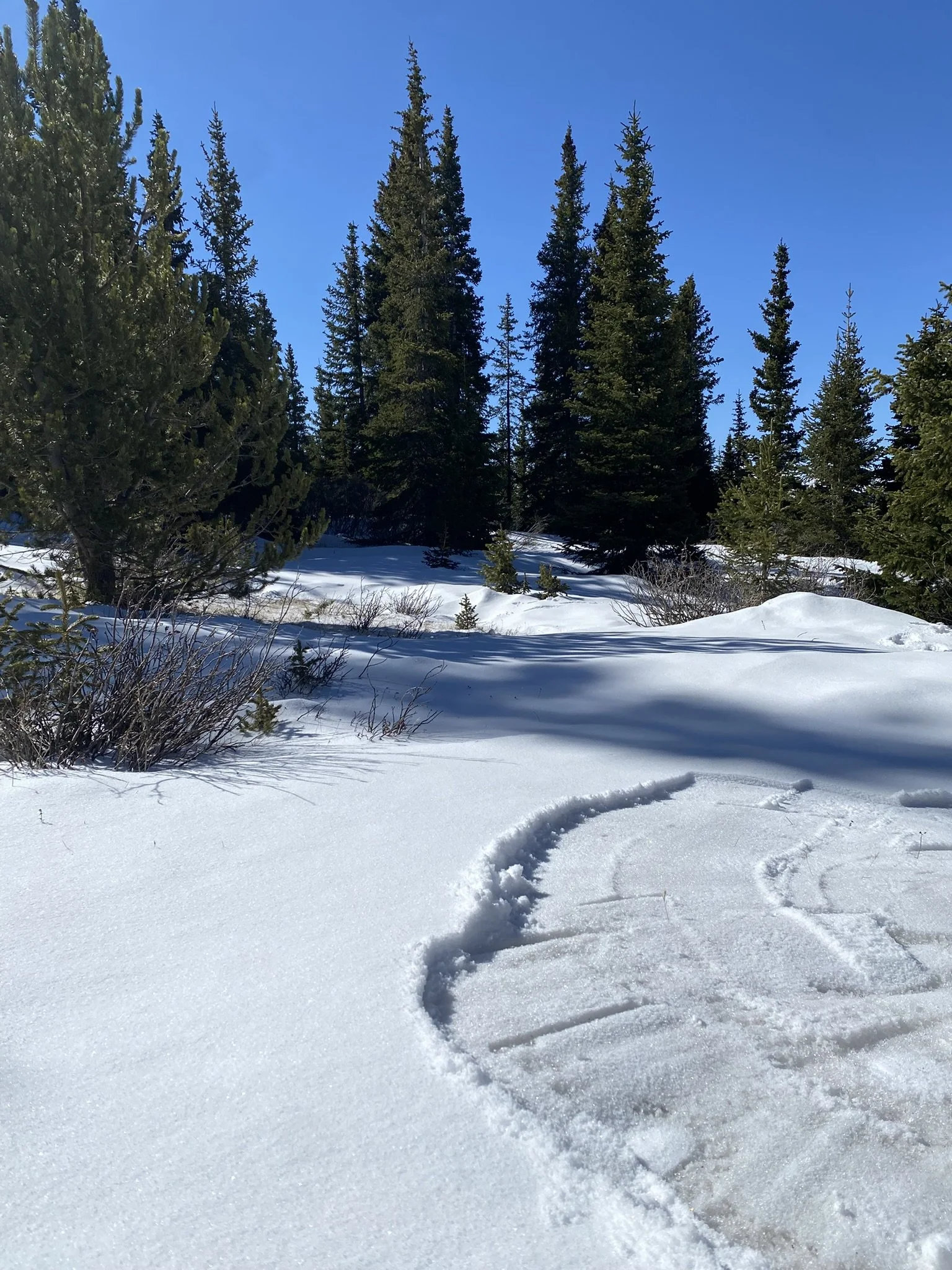
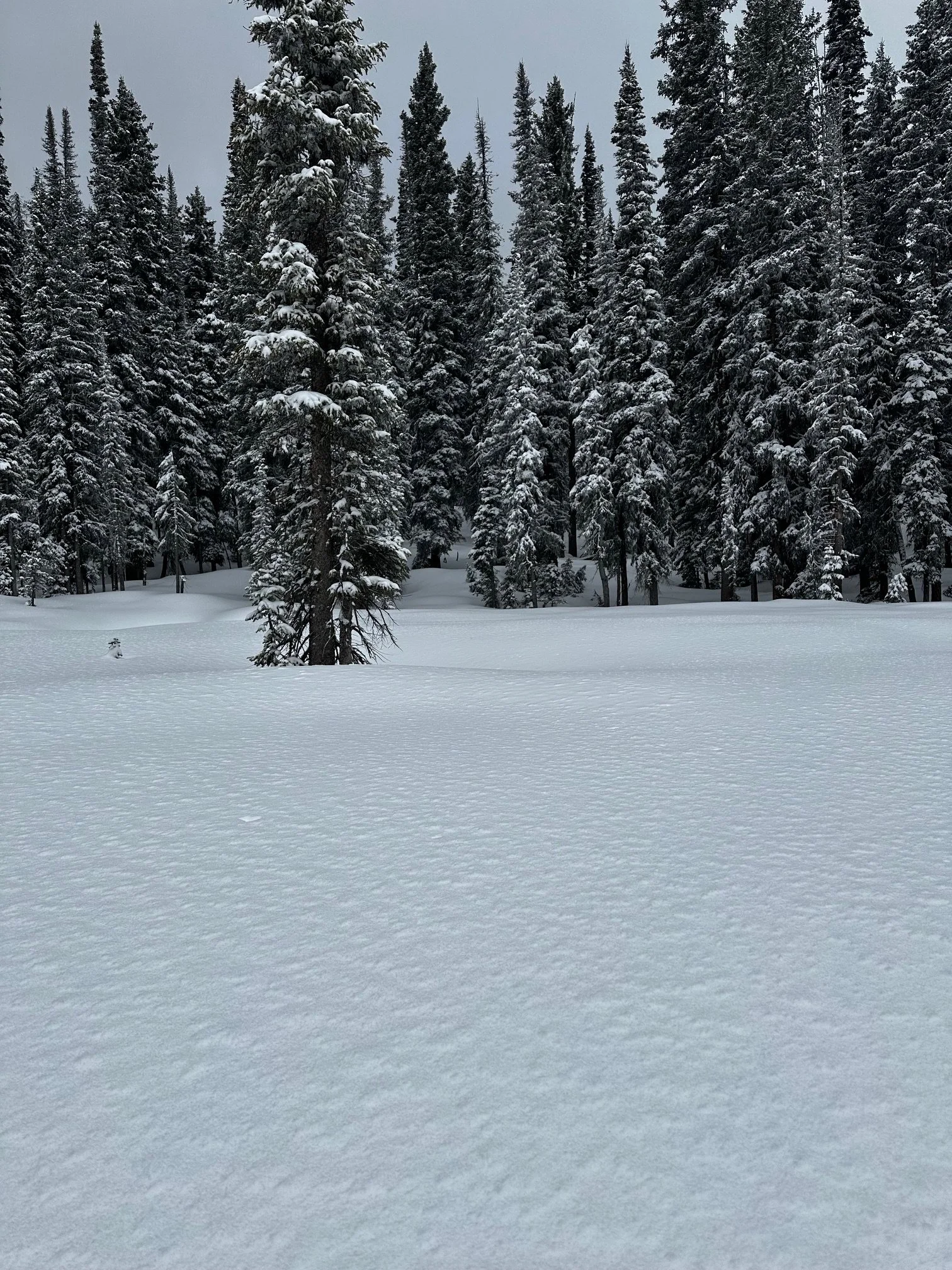
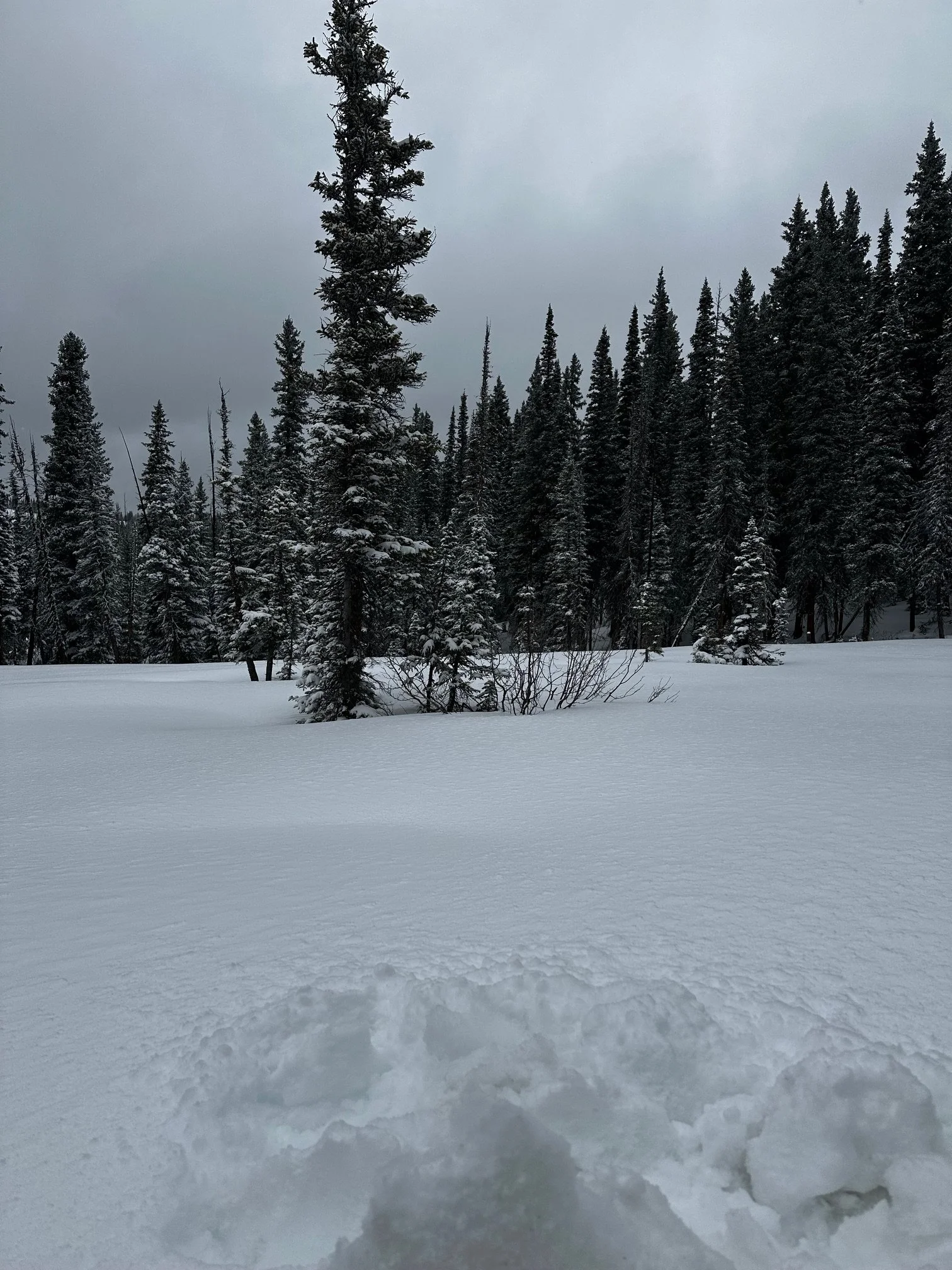
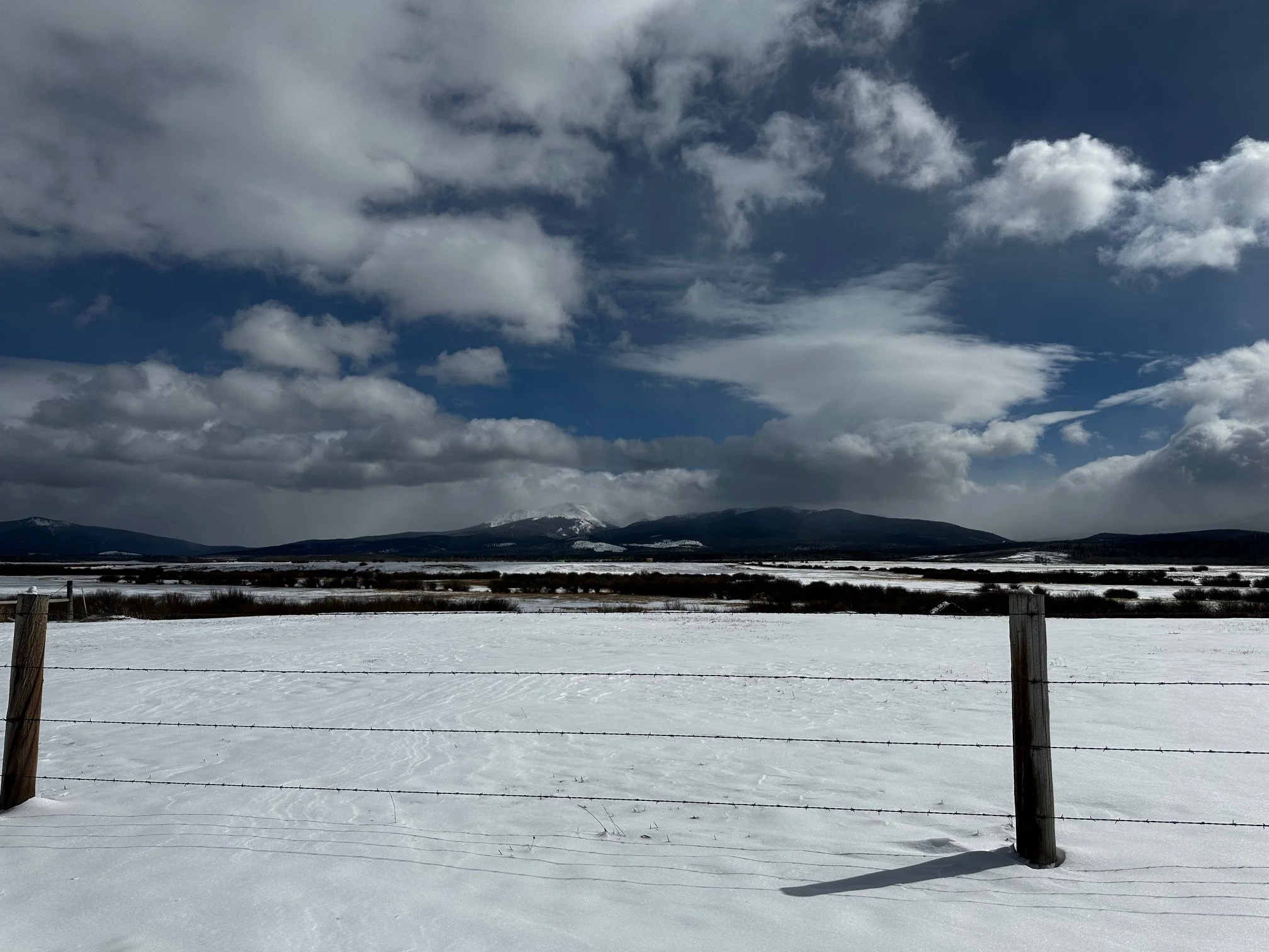
The latest storm at the turn of the month brought 16” of snow and about 1.8” SWE at Swamp Angel. See the statewide accumulation map below. Even though it was an average storm, statewide it accounted for 10%-18% of many individual SNOTEL’s cumulative SWE of the season.
This storm was also the first “albedo reset” of the spring snowpack. This freshening up typically covers up an old and dusty snow surface thereby slowing snowmelt. This year, it is providing a brief coverage of a lot of bare ground.
Take Care
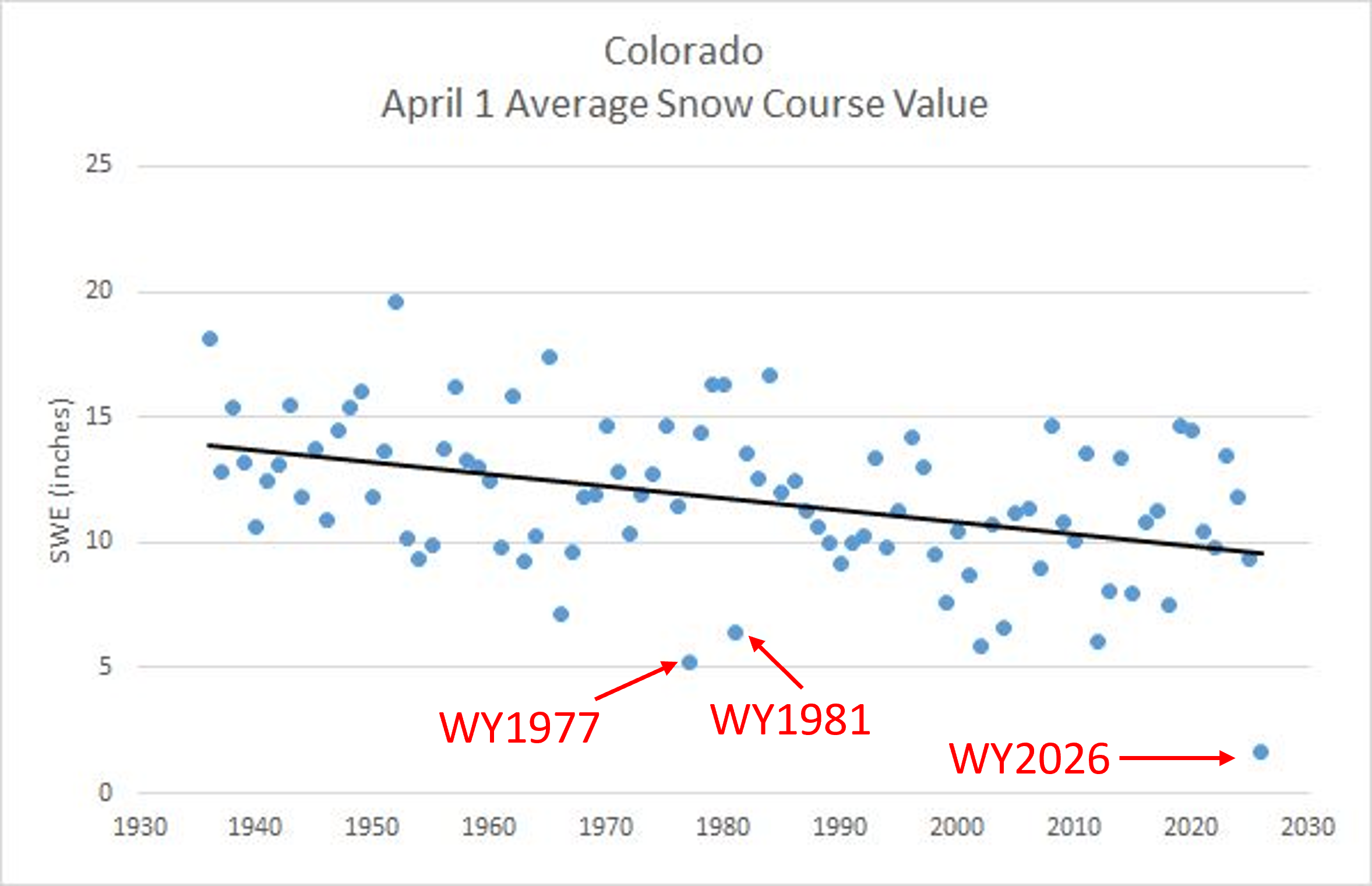
Below: The results are in and they are jaw-dropping. April 1 snow course data is posted on the NRCS website. This is by far the driest winter in the historical record going back to at least the 1940’s. Check out more plots and info at the Colorado Climate Center’s blog.
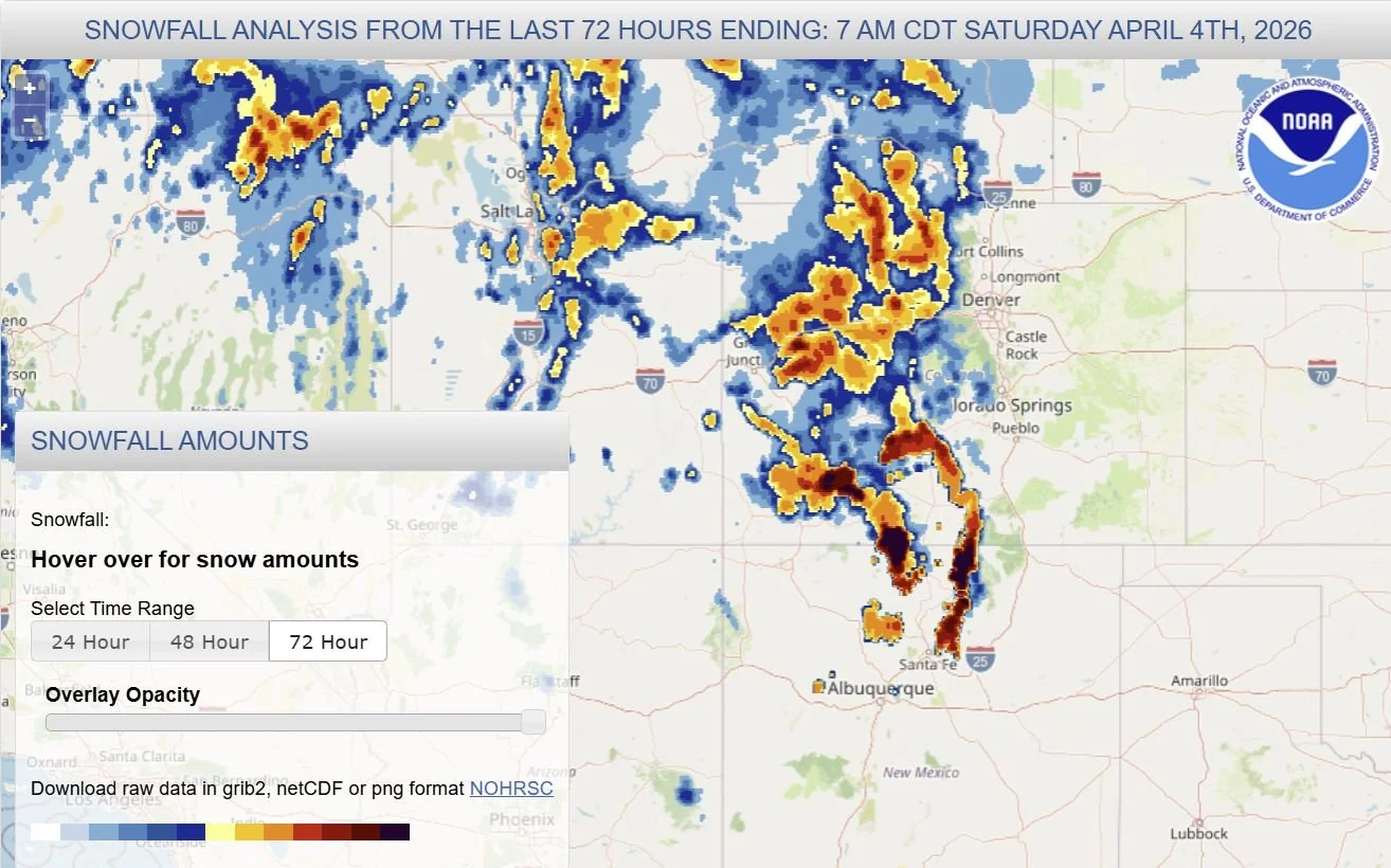
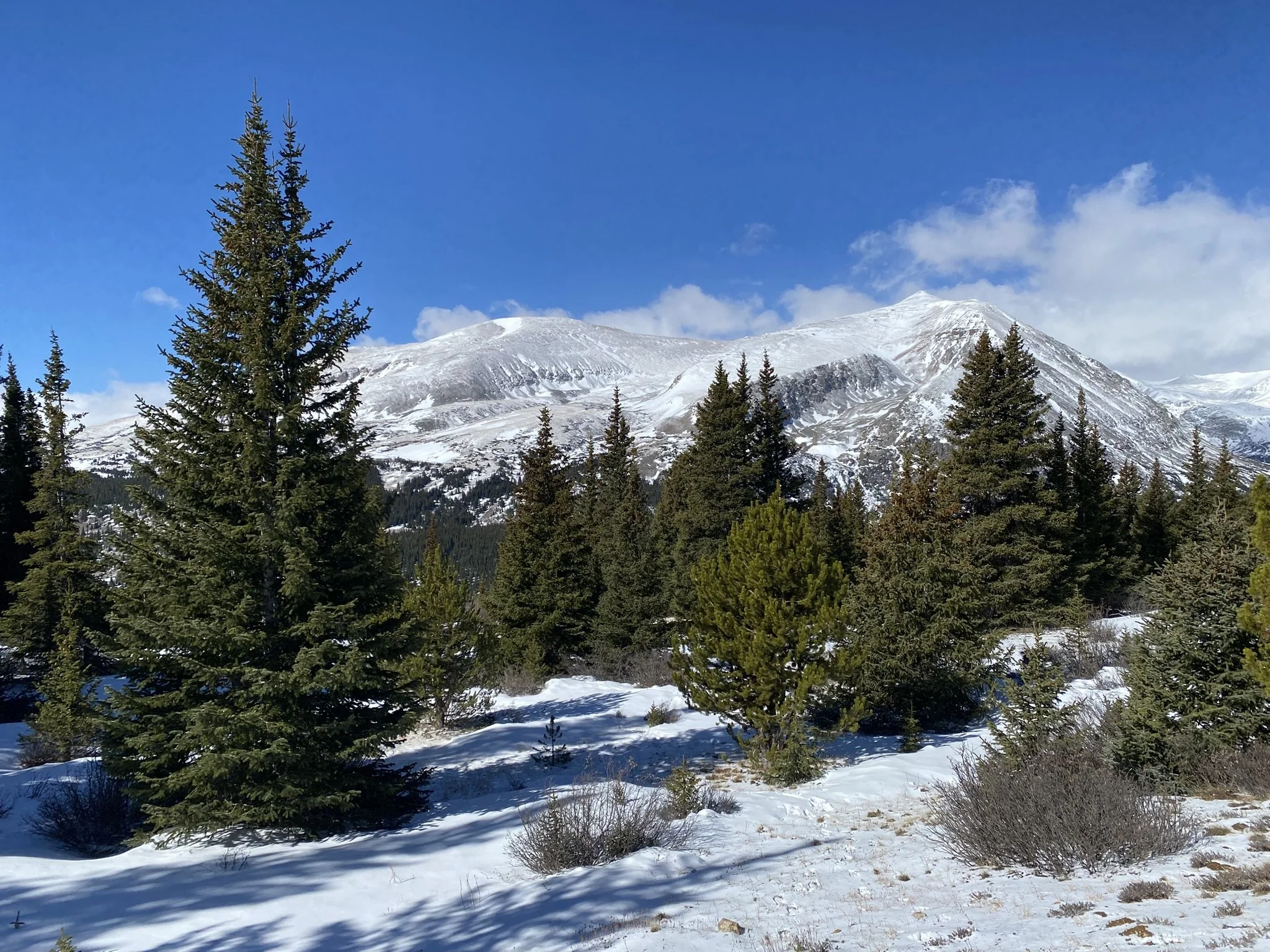
Below: The mountains saw nice precipitation these last few days.
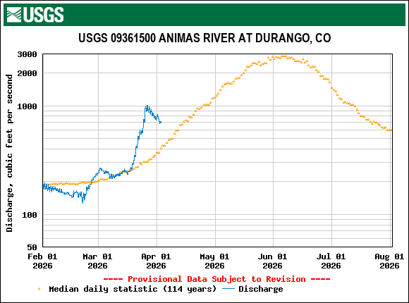
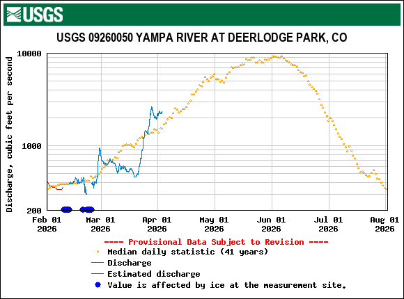
Below: Streamflows took a rest with this recent snowfall, but likely not for long.
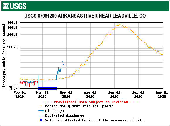
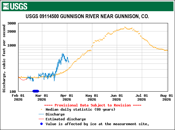
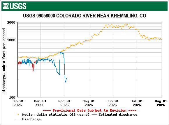
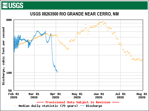
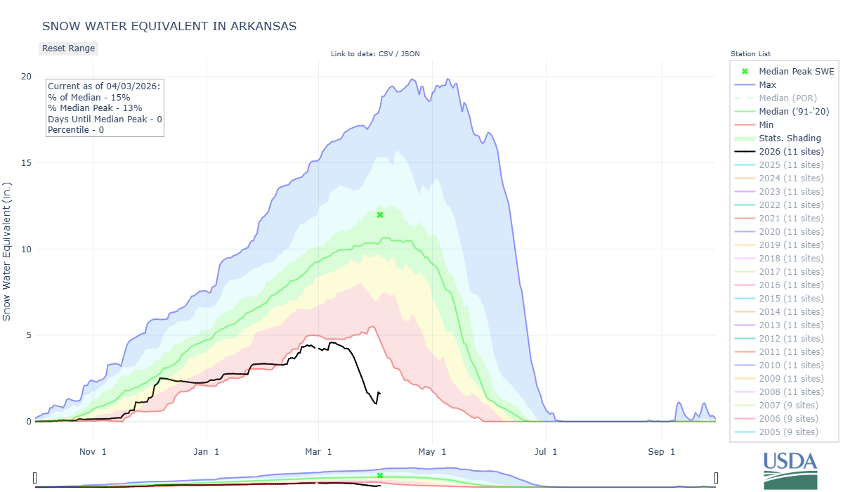
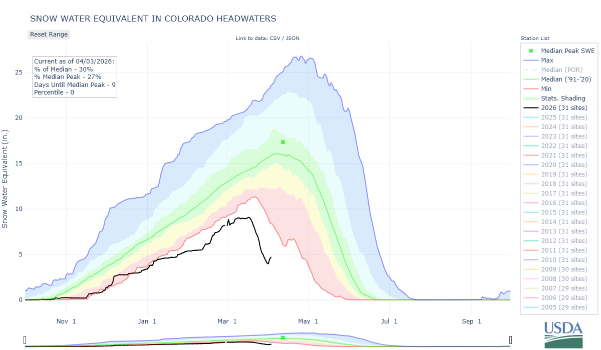
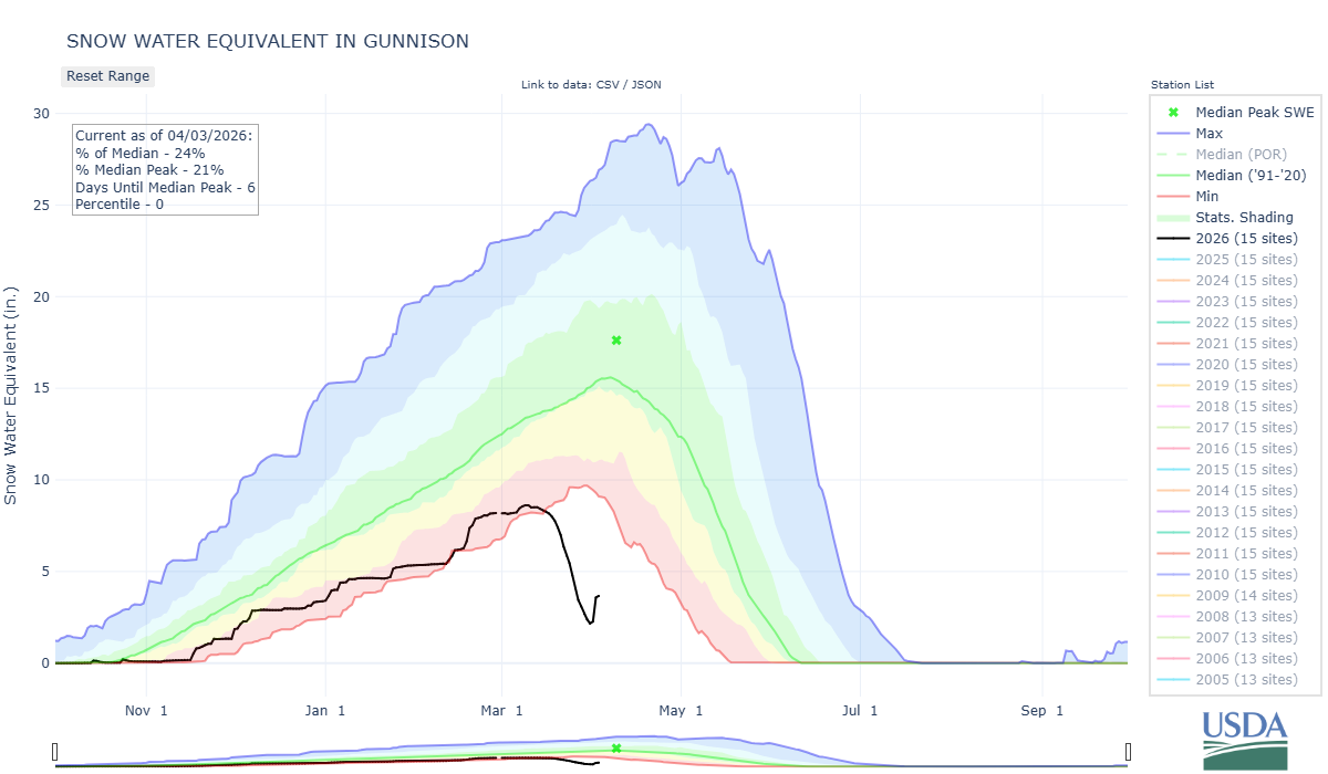
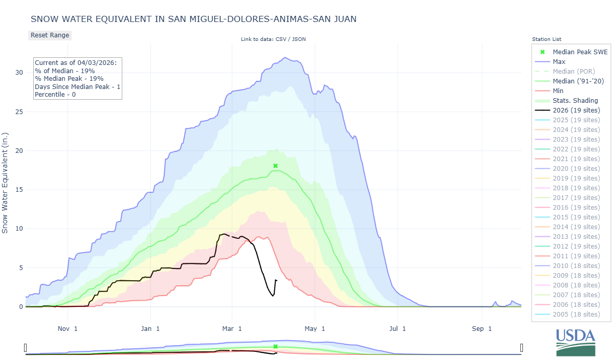
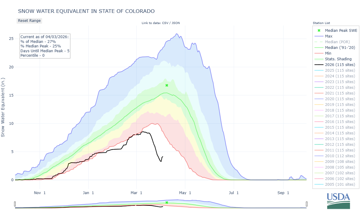
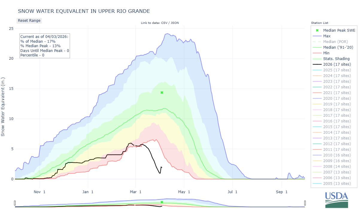
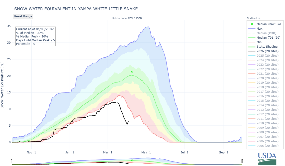
Below: The latest SNOTEL plots show all mountain basins benefited a bit from this recent storm, but really its a drop in the bucket of what we need.
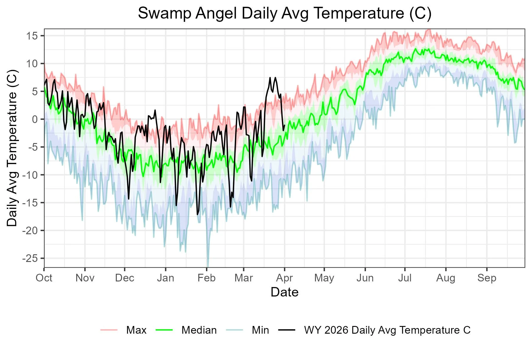
Below: Striking temperature records at Swamp Angel this season, the recent storm cooled things down to a pleasant level.
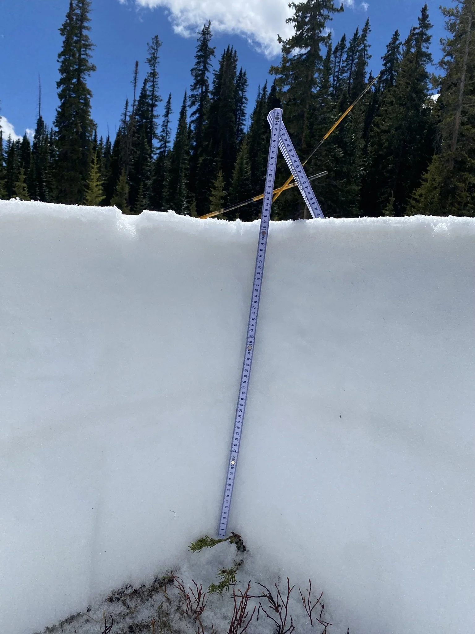
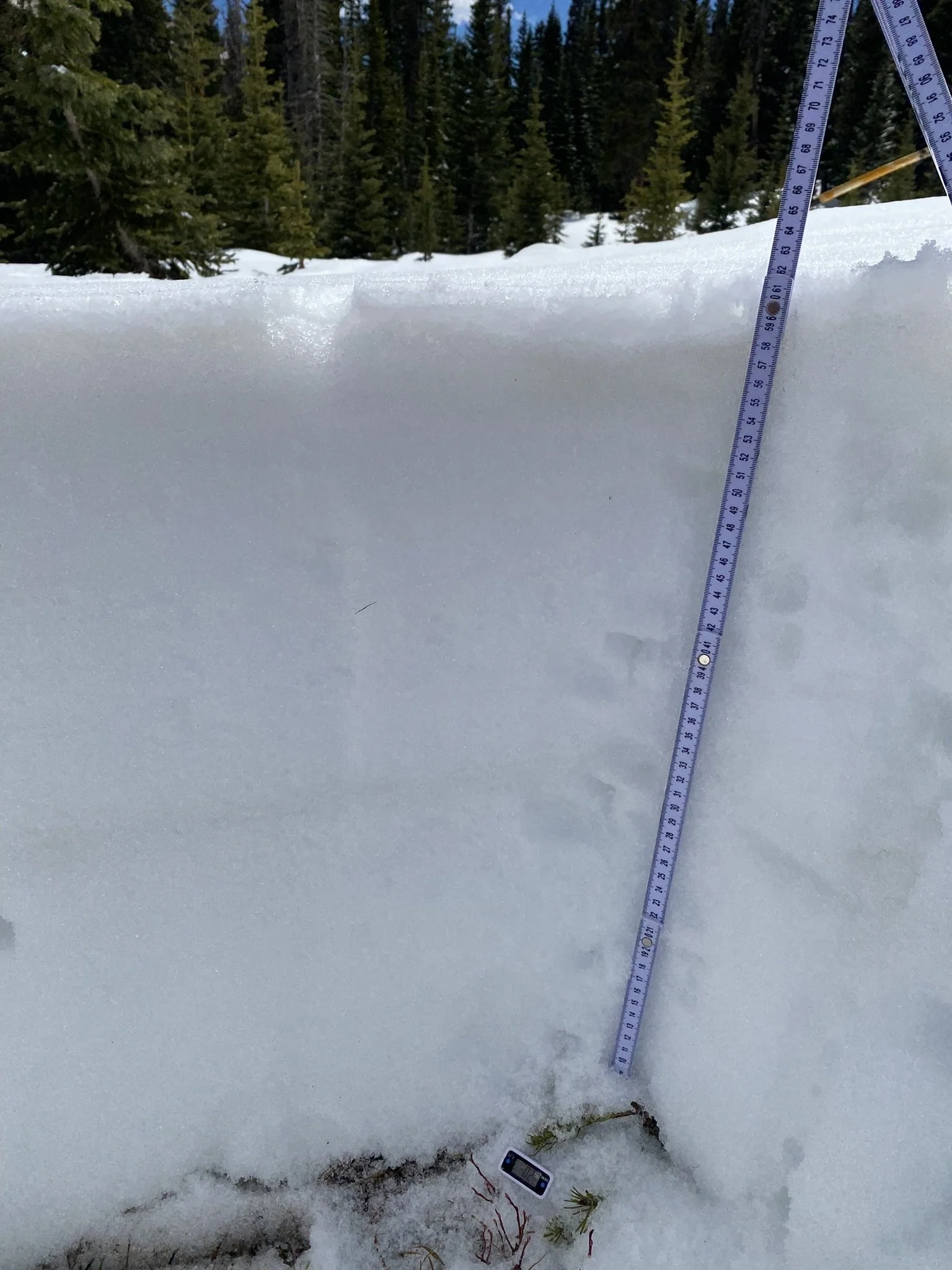
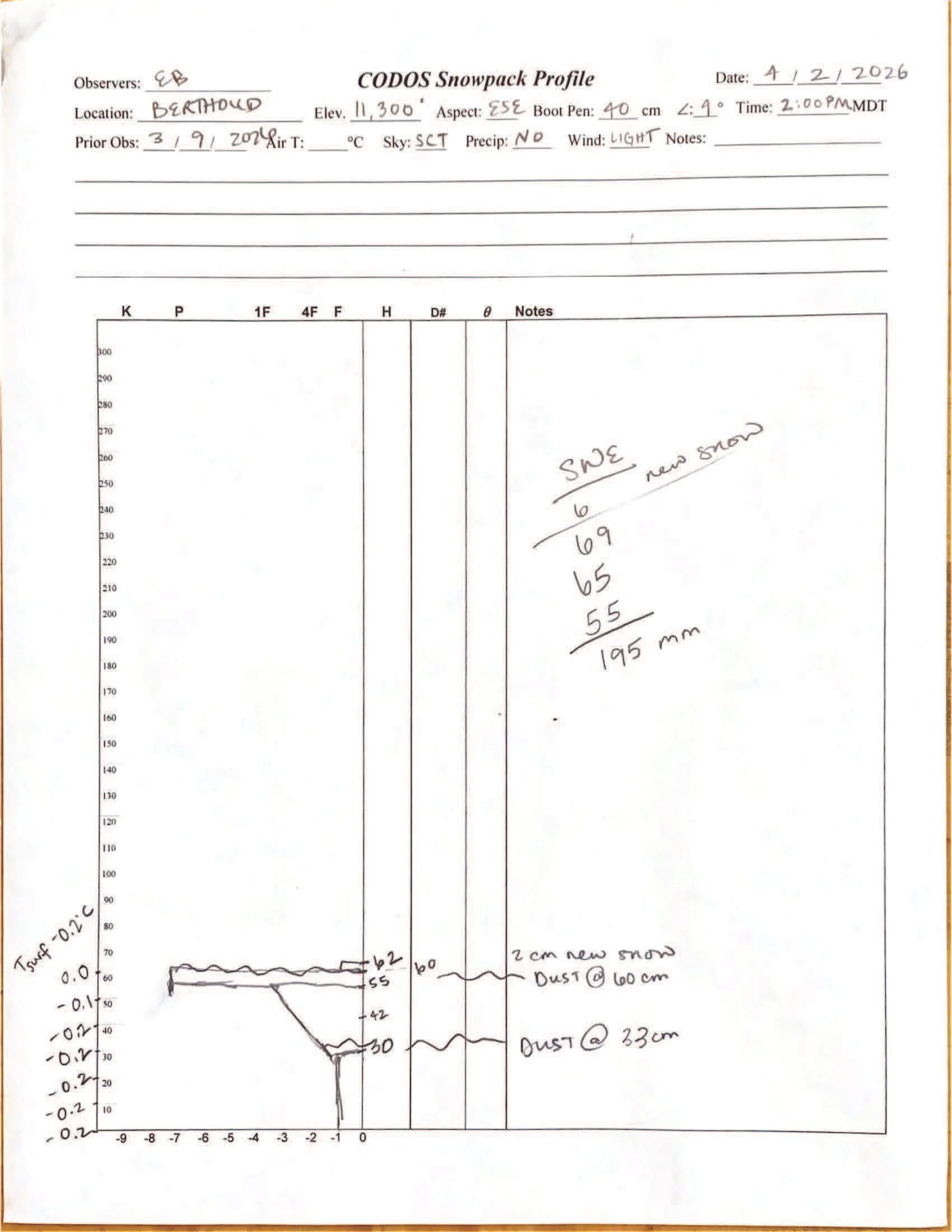
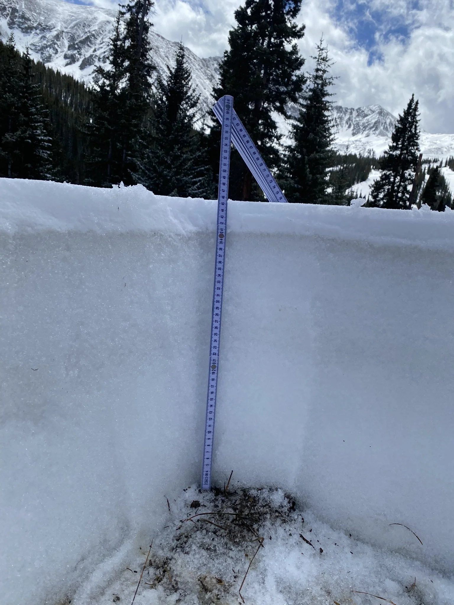
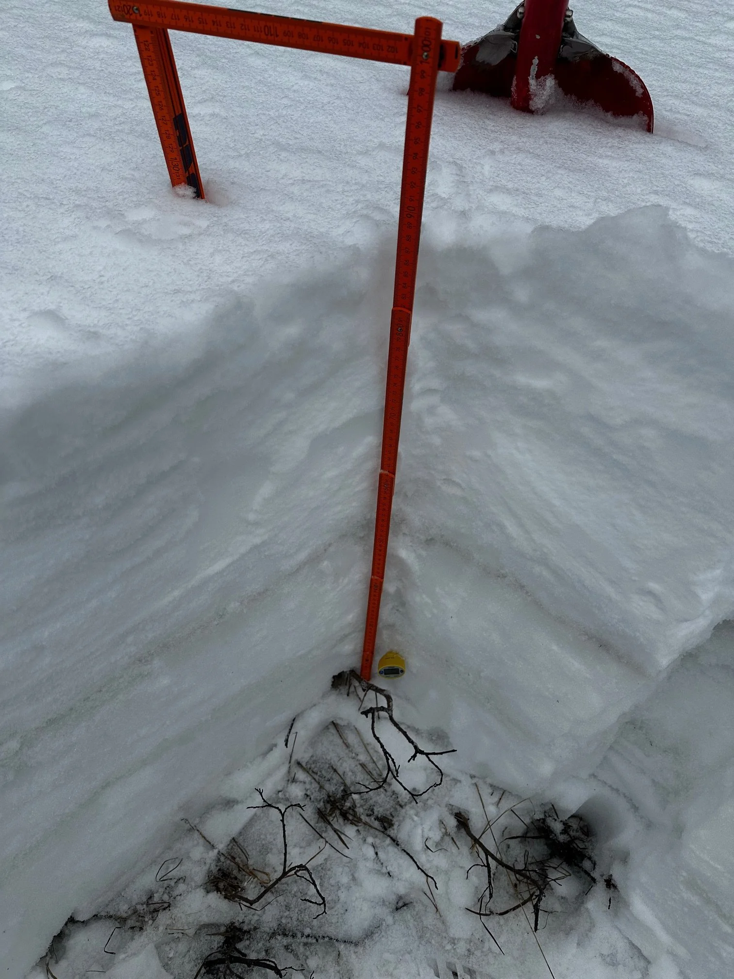
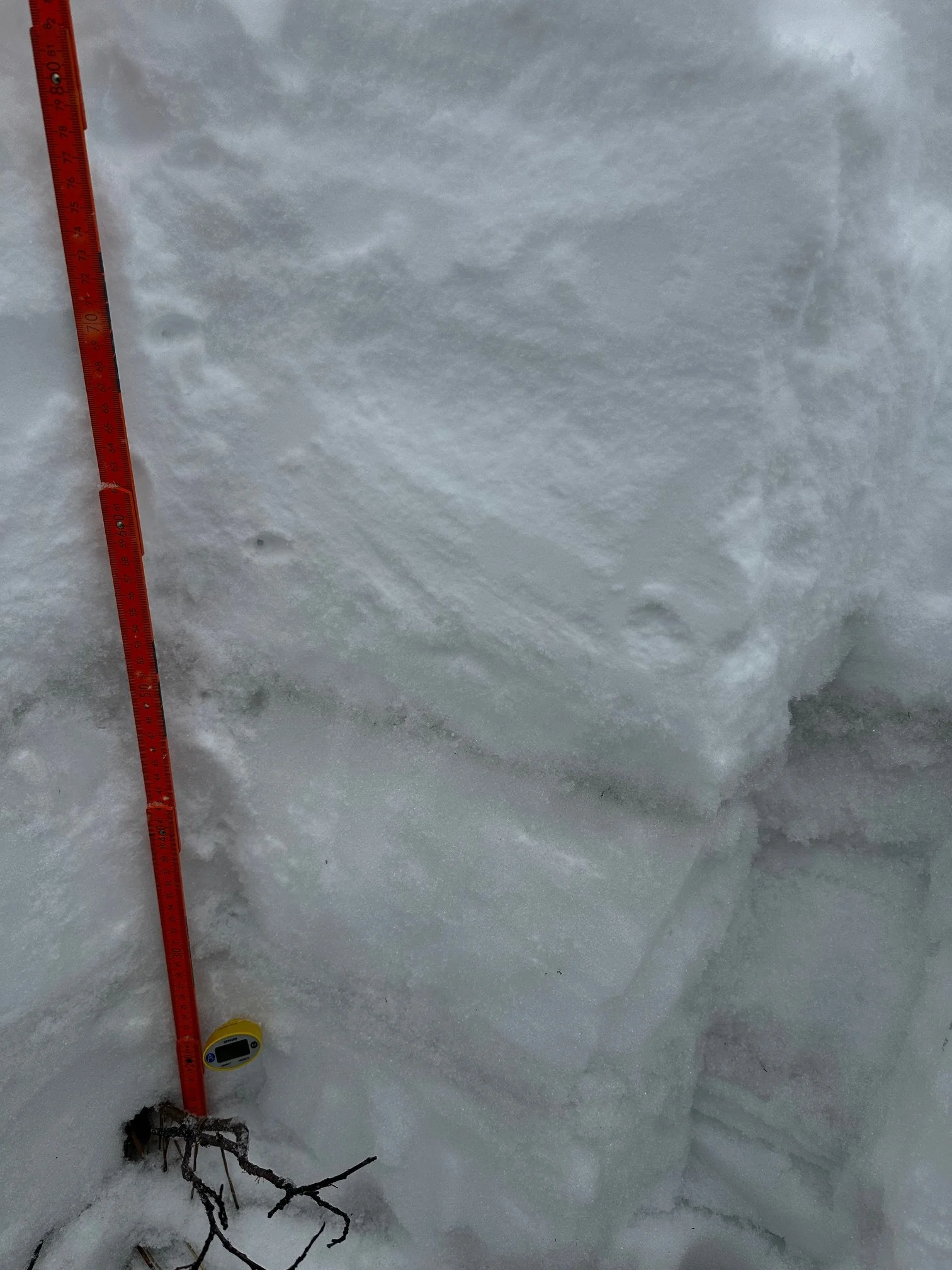
April 2, Berthoud Pass: A scant couple centimeters of new snow covers a dusty snow surface at Berthoud Pass. A second, mid-pack layer of very faint dust is visible in the snowpack together with a larger grain freeze/thaw layer, it was not apparent in our previous pit due to the larger grains sort of hiding it. There is still 2’ of snow at the pass containing 7.7“ of SWE. Berthoud SNOTEL was reporting 7.6” SWE.
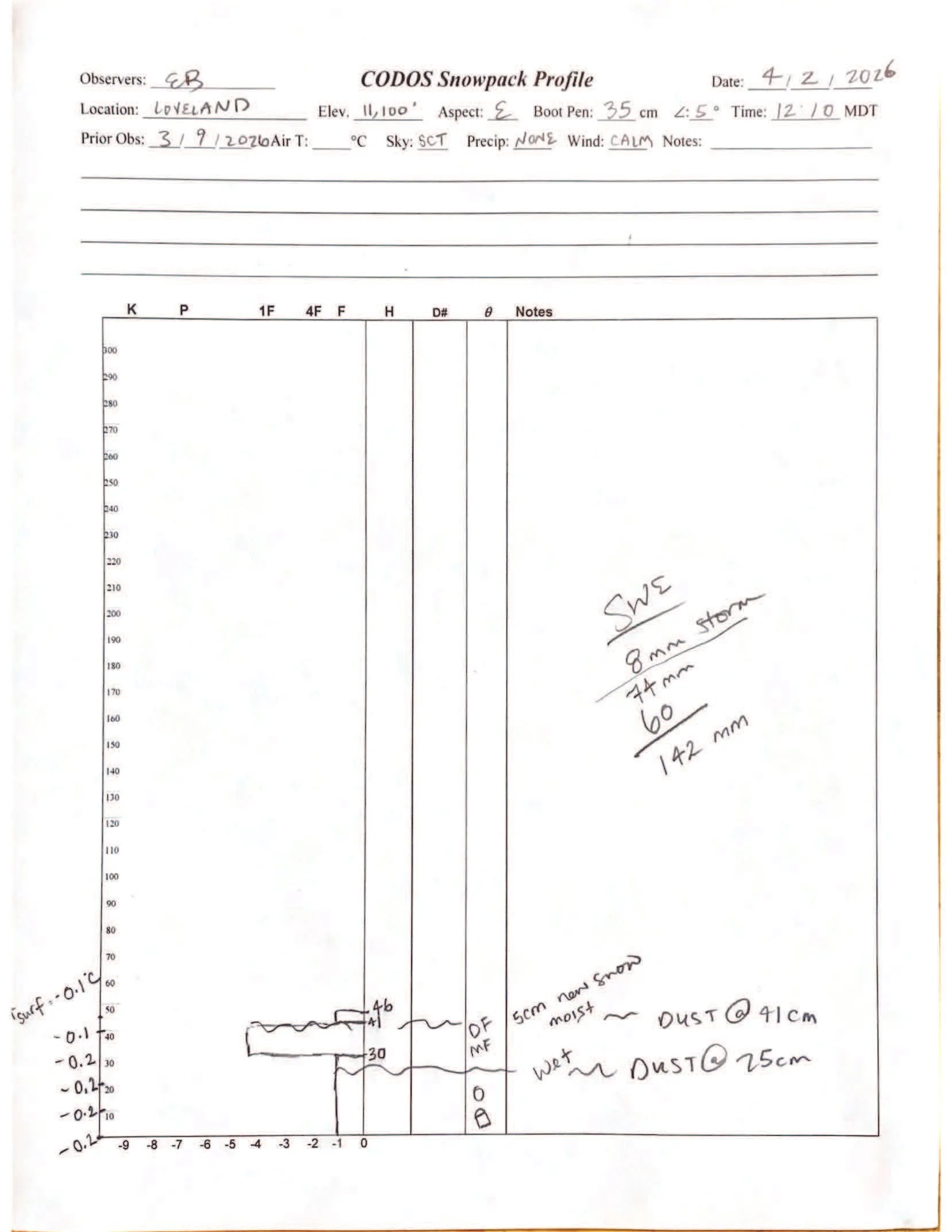
Loveland Pass: A thin crust of dust just under the surface. Our snow profile showed 5.6”. Nearby Grizzly is still showing 7.3” SWE.
Hoosier Pass: We did not do a pit at Hoosier as it was melted out except for a few shady spots. Hoosier SNOTEL, which is located in pretty dense trees is showing 6.6” of SWE.

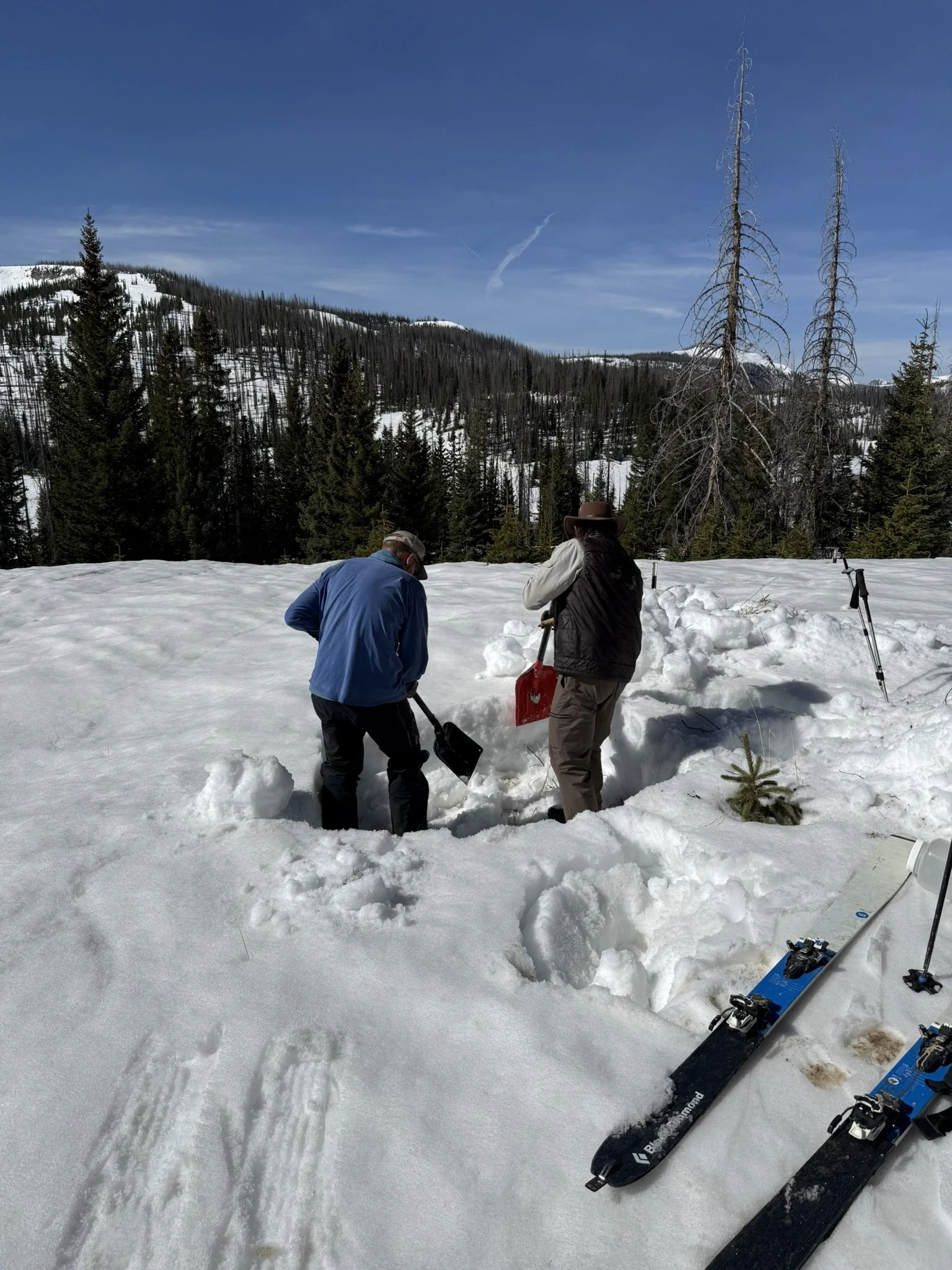
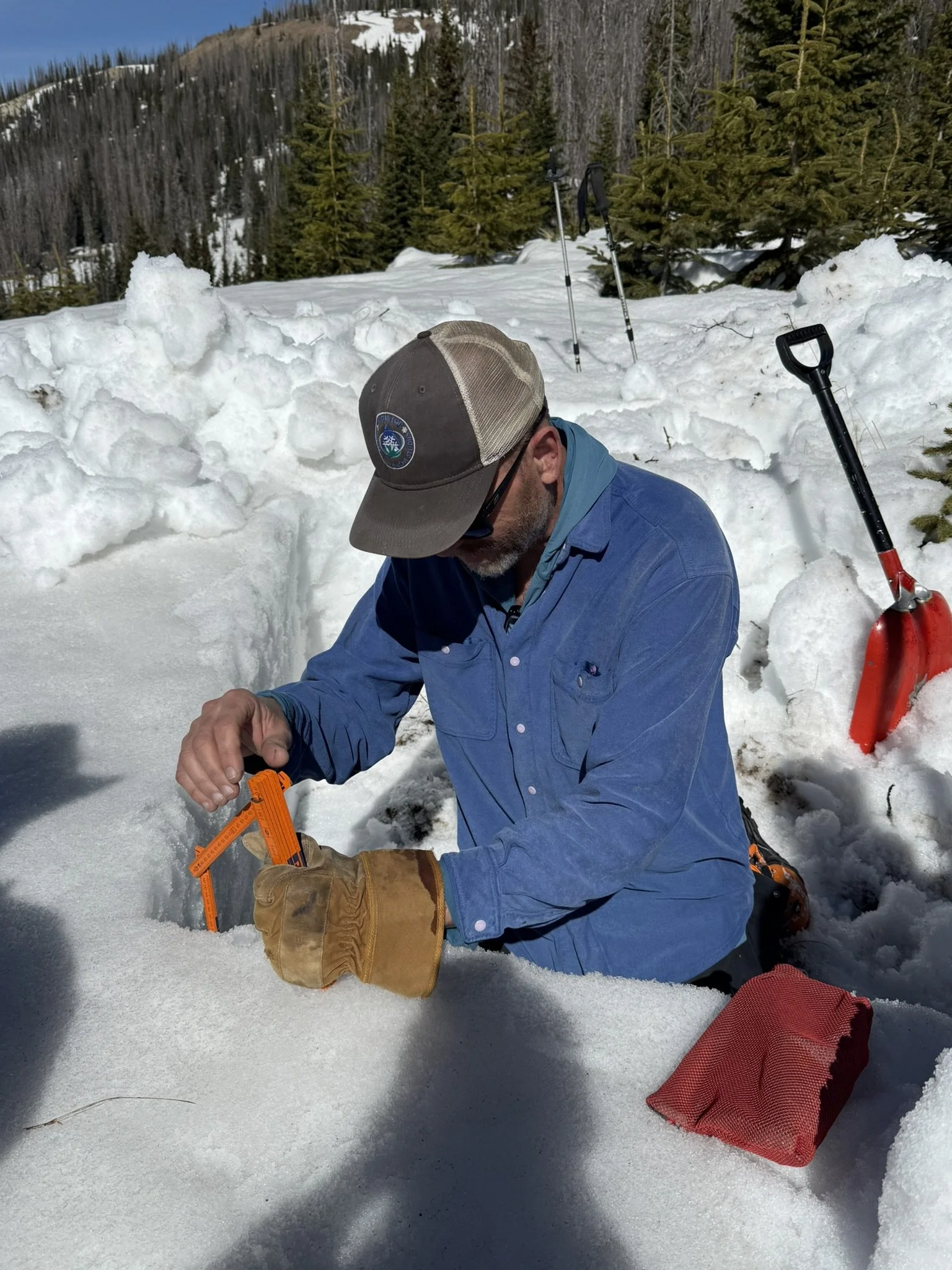
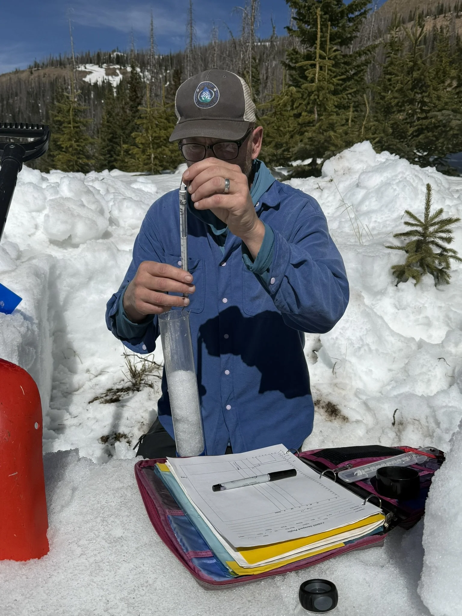
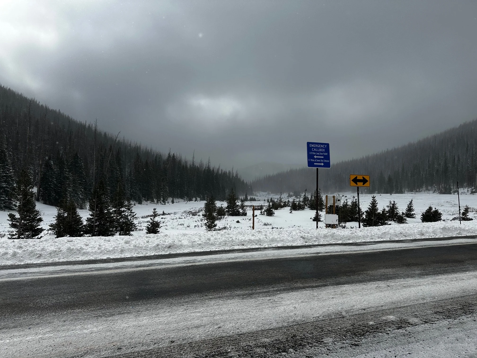
April 3, Rabbit Ears Pass: There is a distinct dust layer that appears to be an old surface with combination of regional dust deposition and local forest debris. There is 13.4” of snow overlaying the dust as 2.4” SWE. We measured total SWE at Rabbit Ears to be 10” and depth of 3’. Making density 279 kg/m^3.
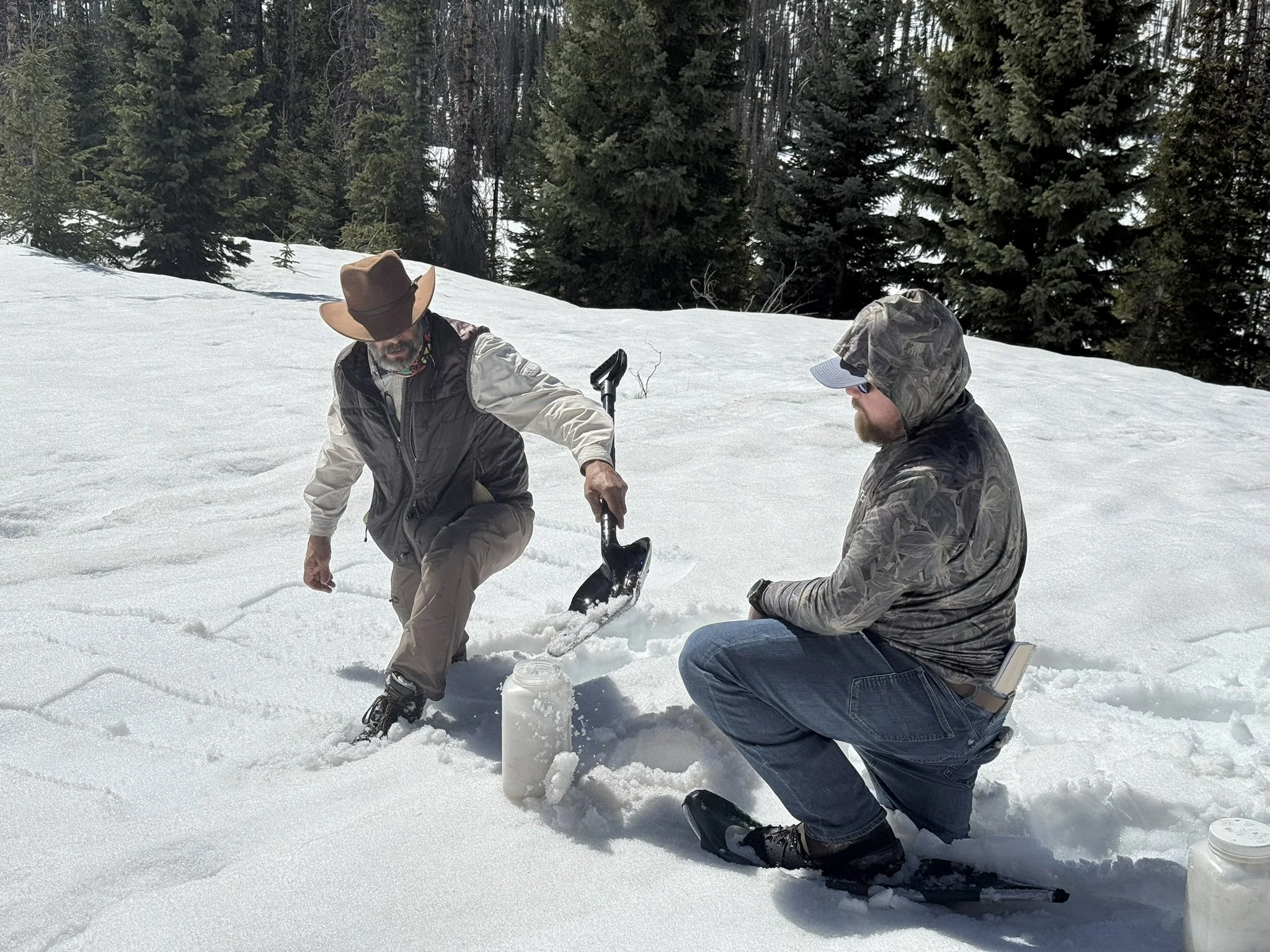
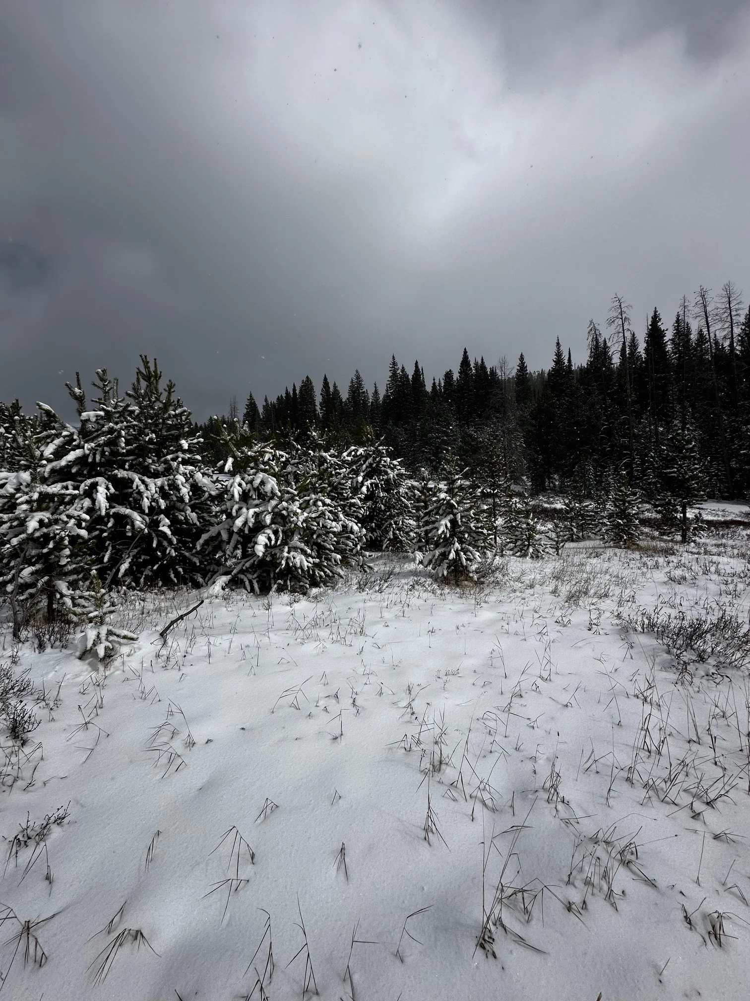
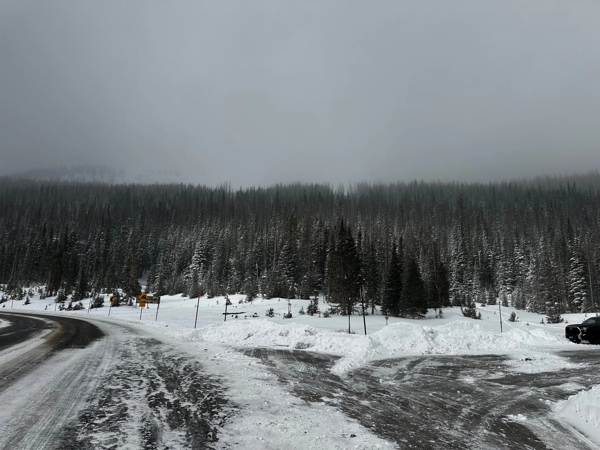
April 3, Willow Creek Pass: If it wasn’t for the recent storm the majority of the area around Willow Creek Pass would have been bare ground. We measured 0.63” SWE of the new snow accumulation. No dust was observed in this fresh snow.
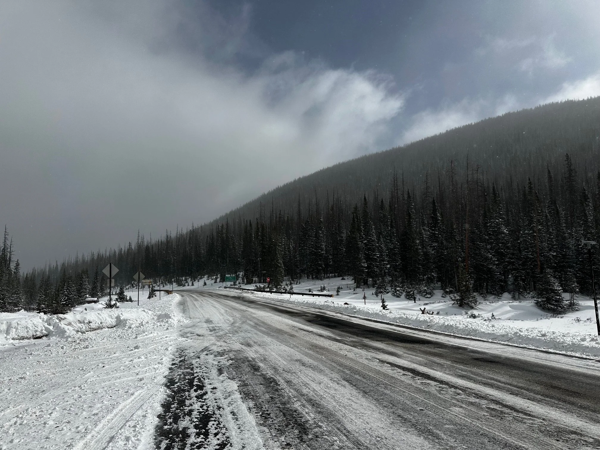
April 3, Cameron Pass: We usually don’t go through Cameron Pass but this trip we had the opportunity. It was refreshingly cold, low clouds, fog, and some blowing snow. There was solid accumulation, Jow Wright SNOTEL reports 1.5” new SWE, and that sounds about right. This little storm accounts for about 12% of the total SWE recorded at Joe Wright for the winter season.
March 23, Wolf Creek: We visited Wolf Creek Summit with folks from the Rio Grande Roundtable. We measured 6.5” SWE, while nearby Wolf Cr. SNOTEL showed 12.9” SWE. Since then the snowpack melted down to 7.9” before gaining 3.7” from the recent storm. Besides a faint dusting on the surface we did not see dust in the snowpack.