

Late Sunday afternoon (March 30) brought dramatic dust-laden southwesterly winds to southwest Colorado and beyond. Here in Silverton the dust arrived "dry," with perhaps a trace of new snow at higher elevations. Winds died down after dark, and skies cleared by 0100 hrs Monday morning.
Chris Landry and Andrew Temple spent the day assessing dust on the front range and in Northern Colorado. We will post their report within a few days. In the meantime, Frank Urban (USGS) captured a fantastic set of desert webcam images showing the progression of the storm from before the dust event right through to dusk. Here are a few of the most dramatic images:
Repeater Peak Utah, 1524 hrs
Abajo Peak Utah, 1546 hrs
Mesa Verde Colorado, 1925 hrs
Rich Reynolds, also at USGS, sent us two wind-visualization video maps as a quick way to capture some patterns: 1) Green dot designates Chinle; 2) Green dot designates Silverton.
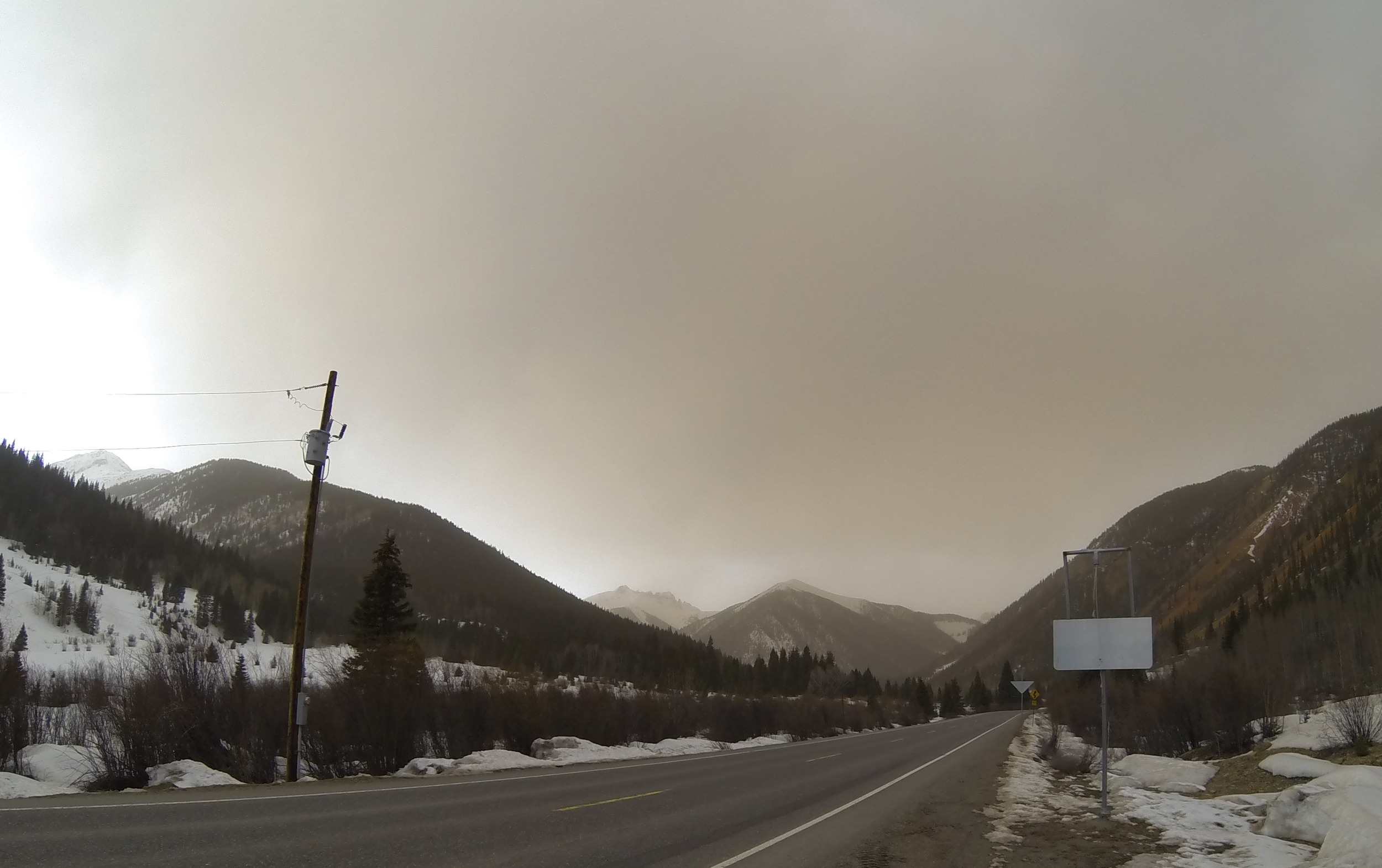
Below are a few images from Silverton taken between 1700-1800 hrs on Sunday March 30. The dust blew over in plumes, changing the color of the sky in different areas at different times.


Finally, Jim Pokrandt (Colorado River District) sent us a photo of some of that dirt on his windshield this morning in Glenwood Springs.