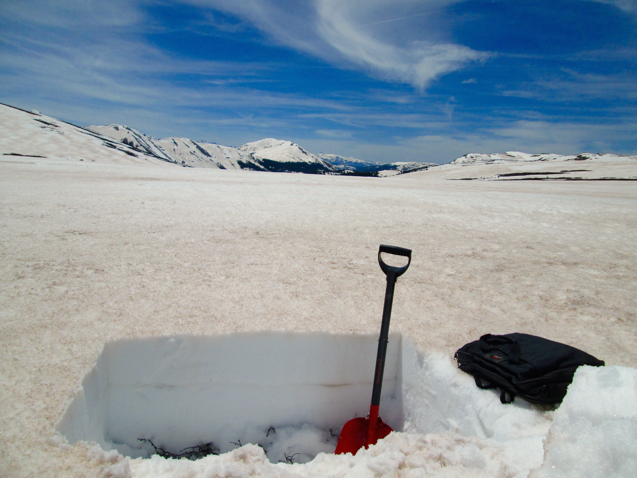
June 2nd, 2014

June 3rd, 2014

May 21st, 2014
Albedo (broad band) at Swamp Angel Study Plot was 0.42 (42% reflectance) at mid-day on May 21; albedo values fell as low as 0.35 during the spring of 2013, with considerably more dust mass in the snowpack.
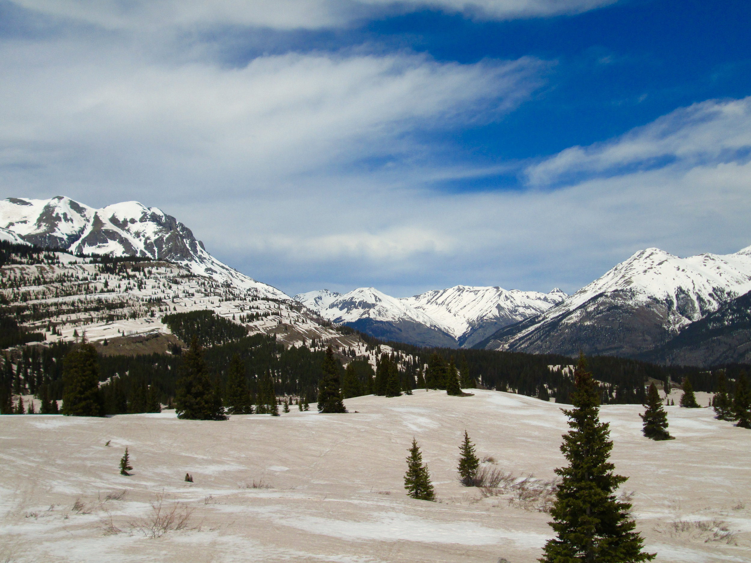
May 5th, 2014
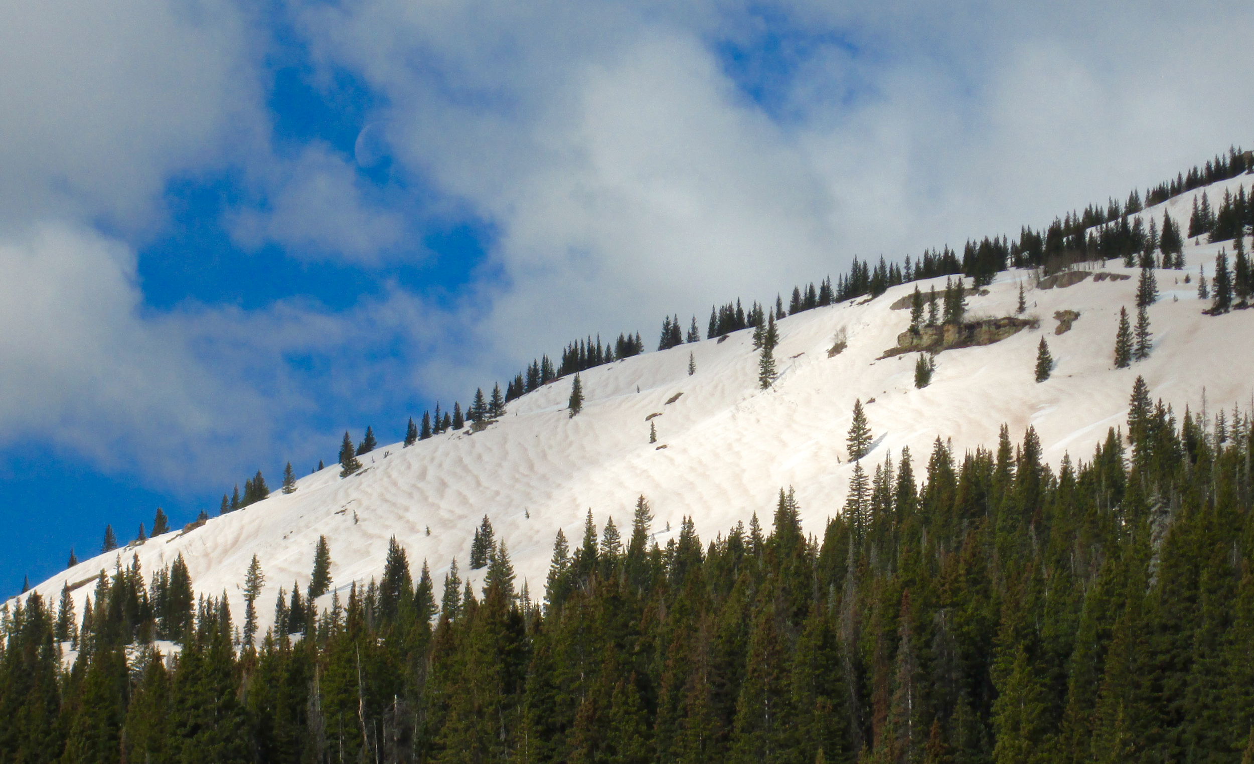
April 20th, 2014
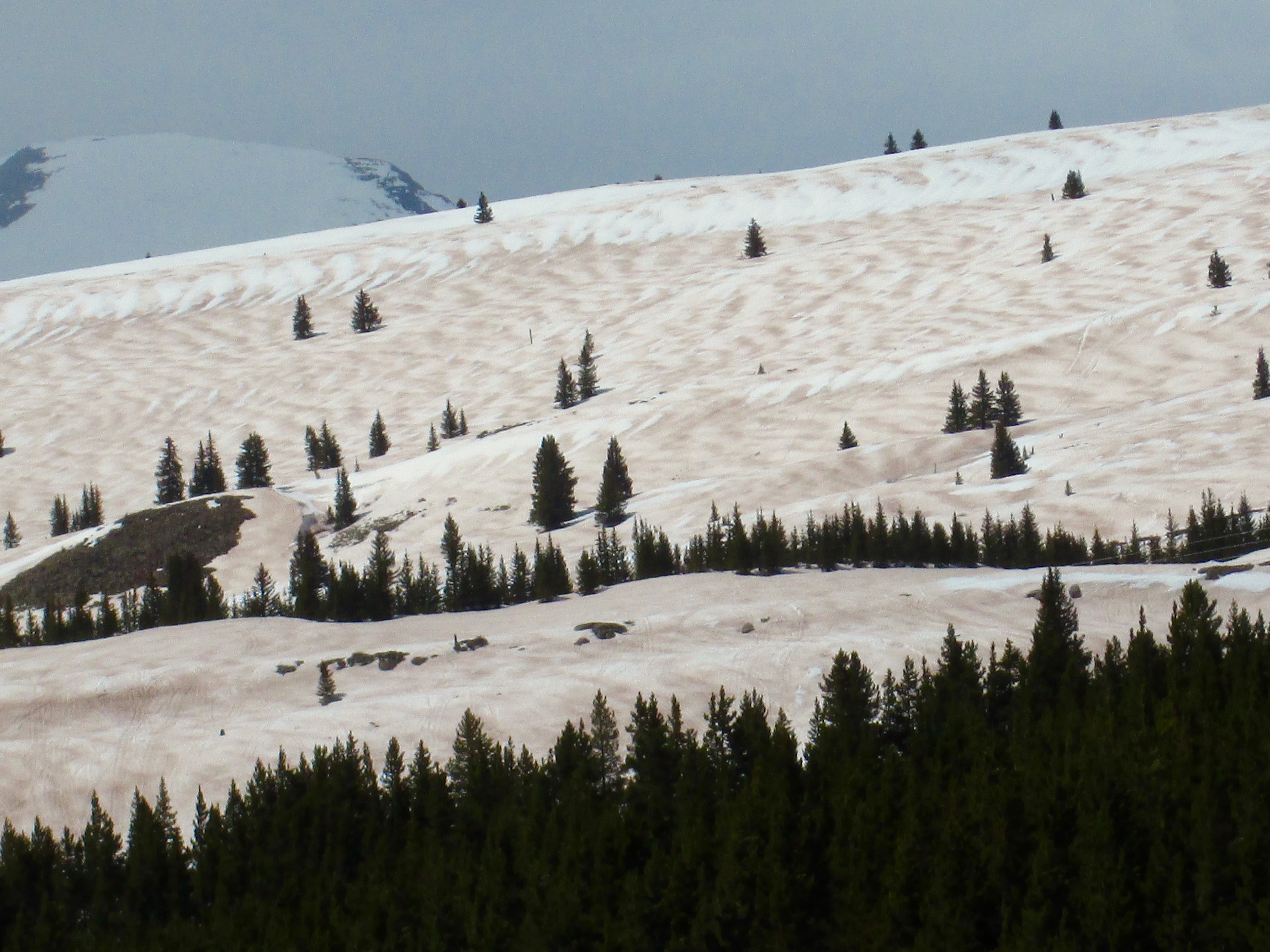
April 20th, 2014
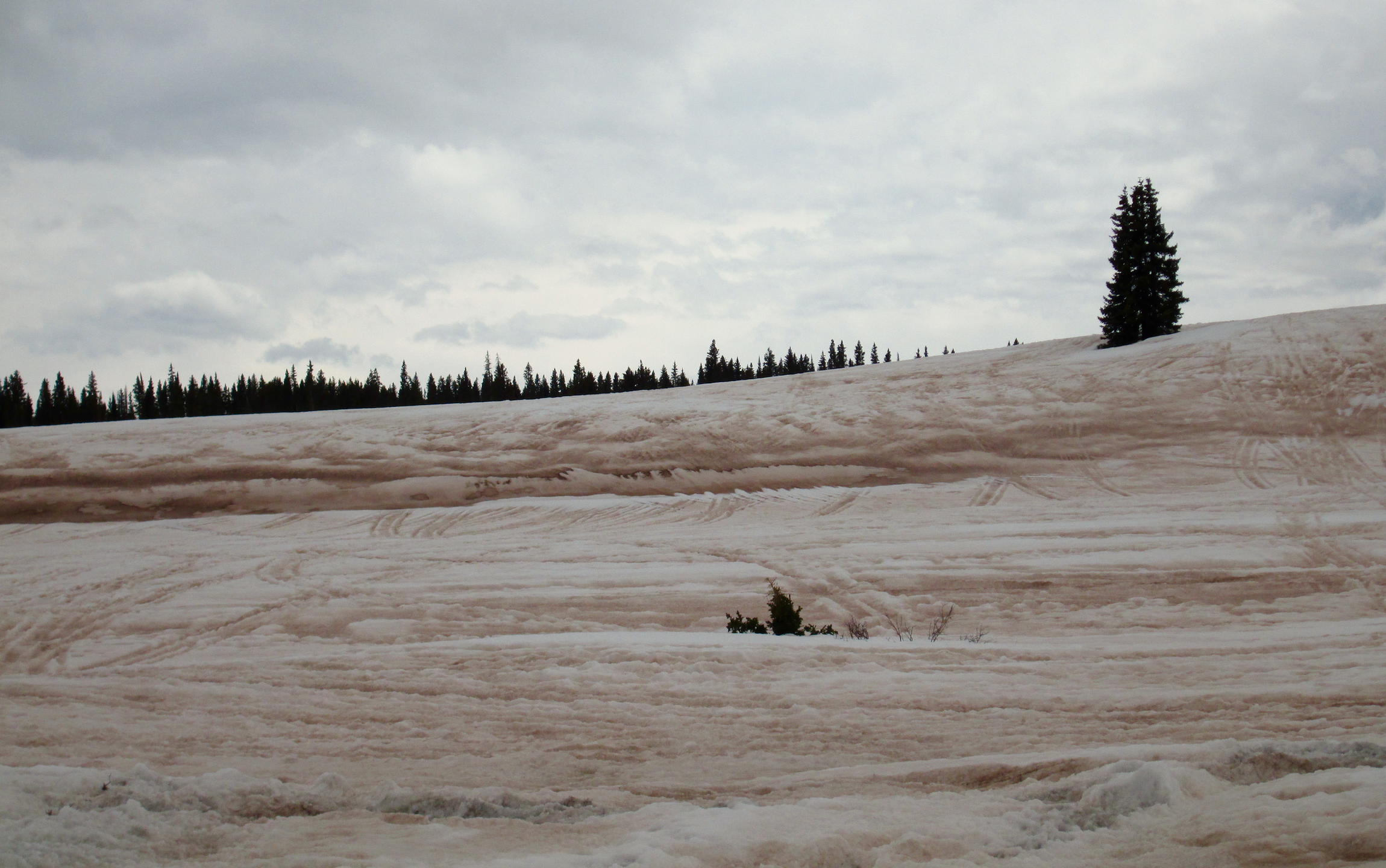
April 26th, 2014
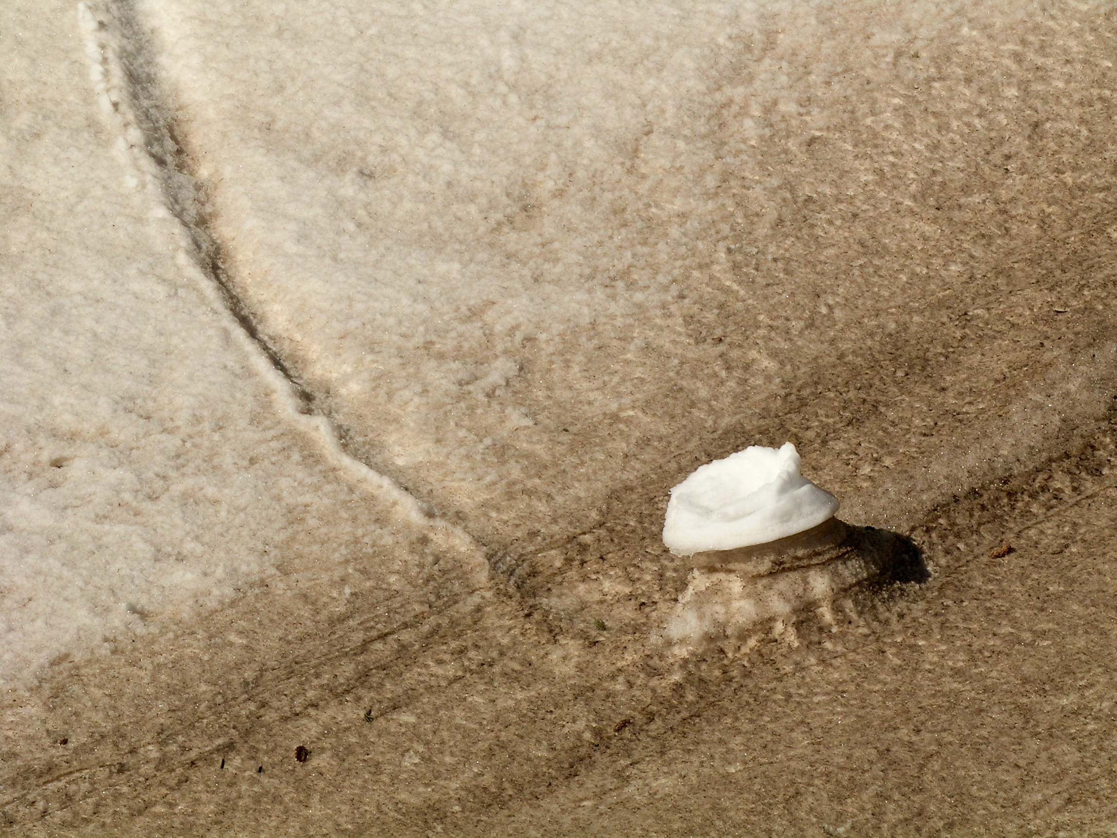
May 11, 2010
Differential melt rates illustrated in this photo show a dirty snow surface depressed below its level two days earlier at the base of the the clean snow "roller ball".
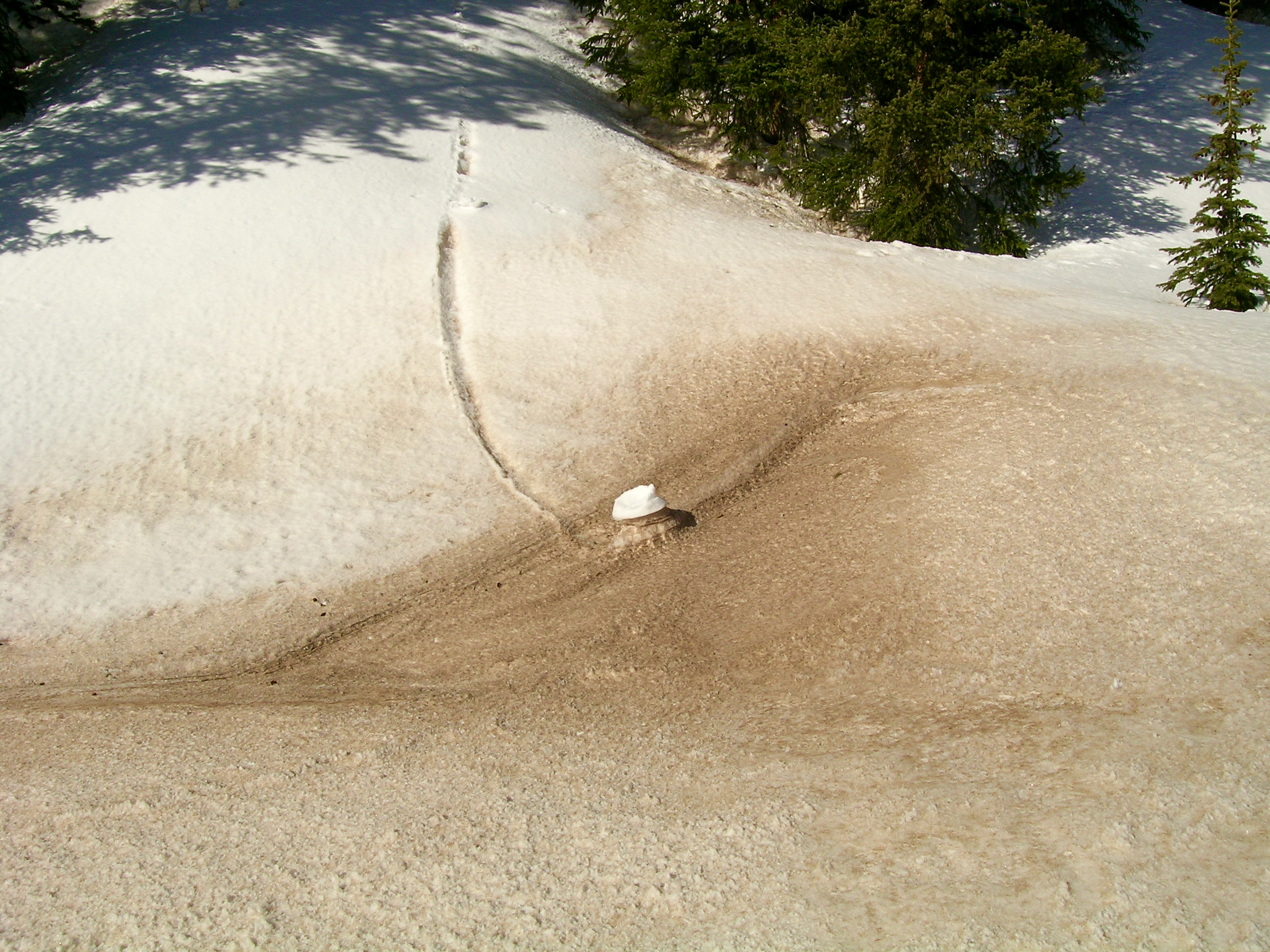
May 11, 2010
Differential melt rates illustrated in this photo show a dirty snow surface depressed below its level two days earlier at the base of the the clean snow "roller ball".

May 5, 2013
View from Peak 13,510' on the western boundary of Senator Beck Basin
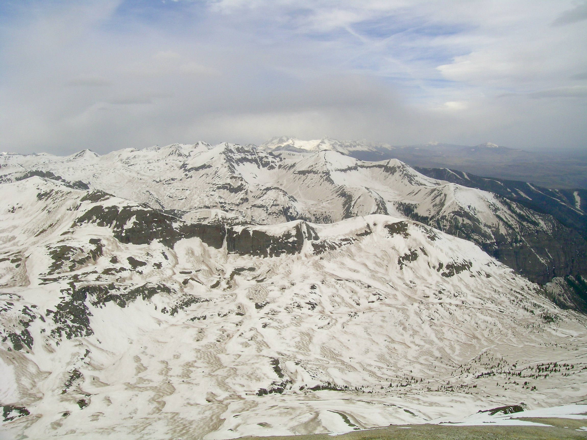
May 5th, 2013

May 5, 2013
View from Peak 13,510' on the western boundary of Senator Beck Basin

May 5th, 2013

May 16th, 2013
May 27th, 2013

May 21, 2014
Another example of differential melt rates between clean snow – the clean snow ‘donut’ roller from Storm #24 – and dirty snow. The Storm #24 snow is still visible on the white, north-facing side of this gully, where the roller originated, whereas all of Storm #24 was ablated from the bottom and south-facing side of the gully. This white ‘donut’ has survived over a week of sunshine.
May 21st, 2014
En route to the Senator Beck Study Plot.
April 20, 2010
May 11, 2010
Differential melt rates illustrated in this photo show a dirty snow surface depressed below its level two days earlier at the base of the the clean snow "roller ball".
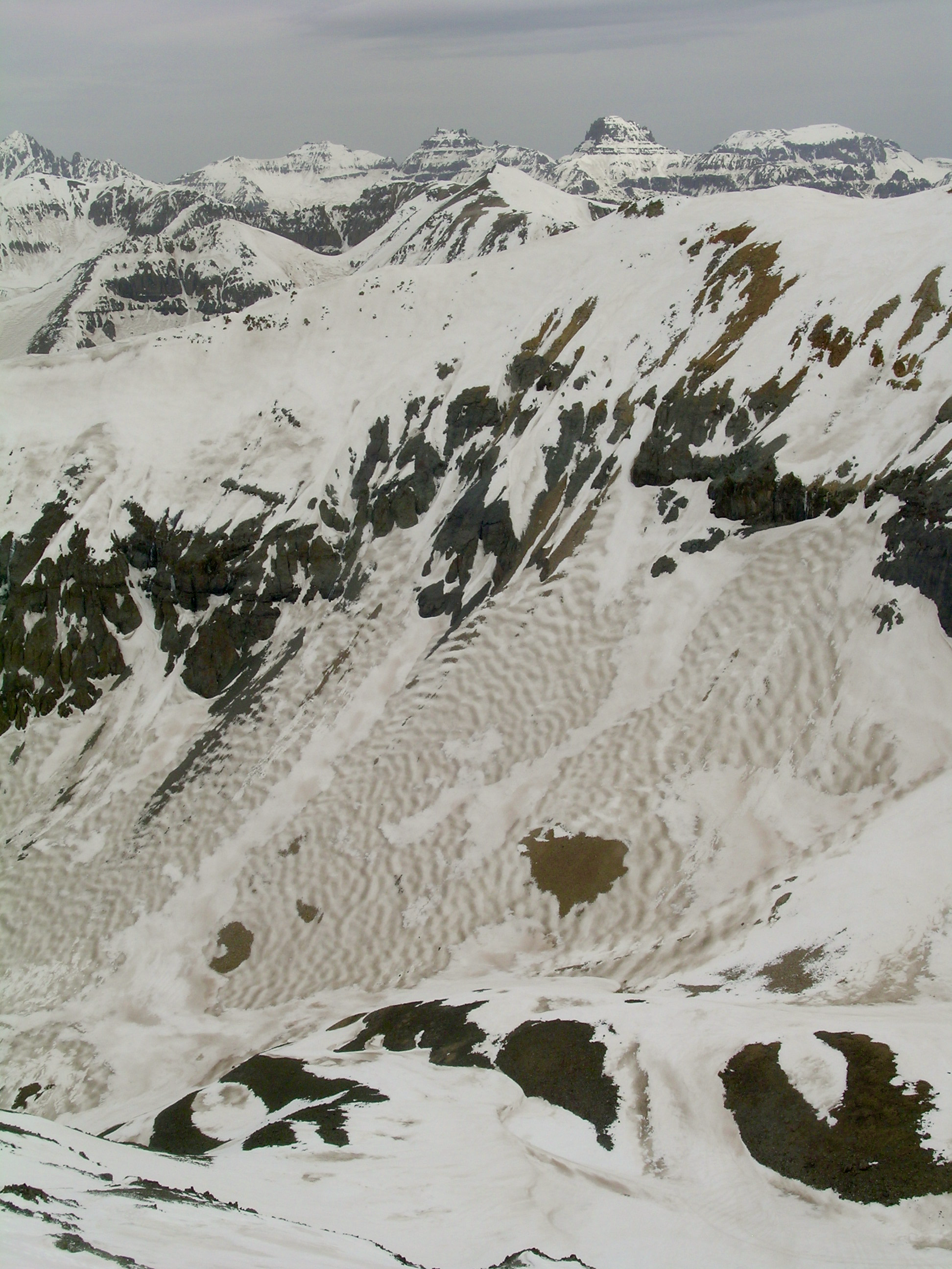
May 5th, 2013

July 14, 2009
Stream in upper Senator Beck Basin

May 13, 2009
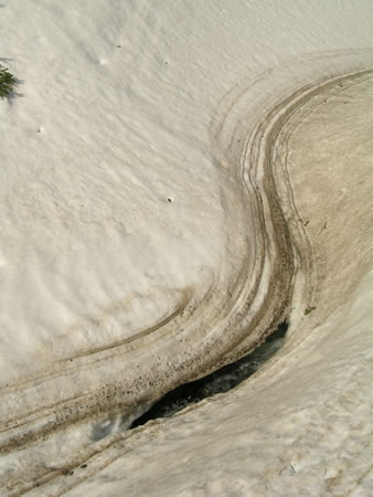
Stream flowing out of Senator Beck Basin from under dirty snow cover.
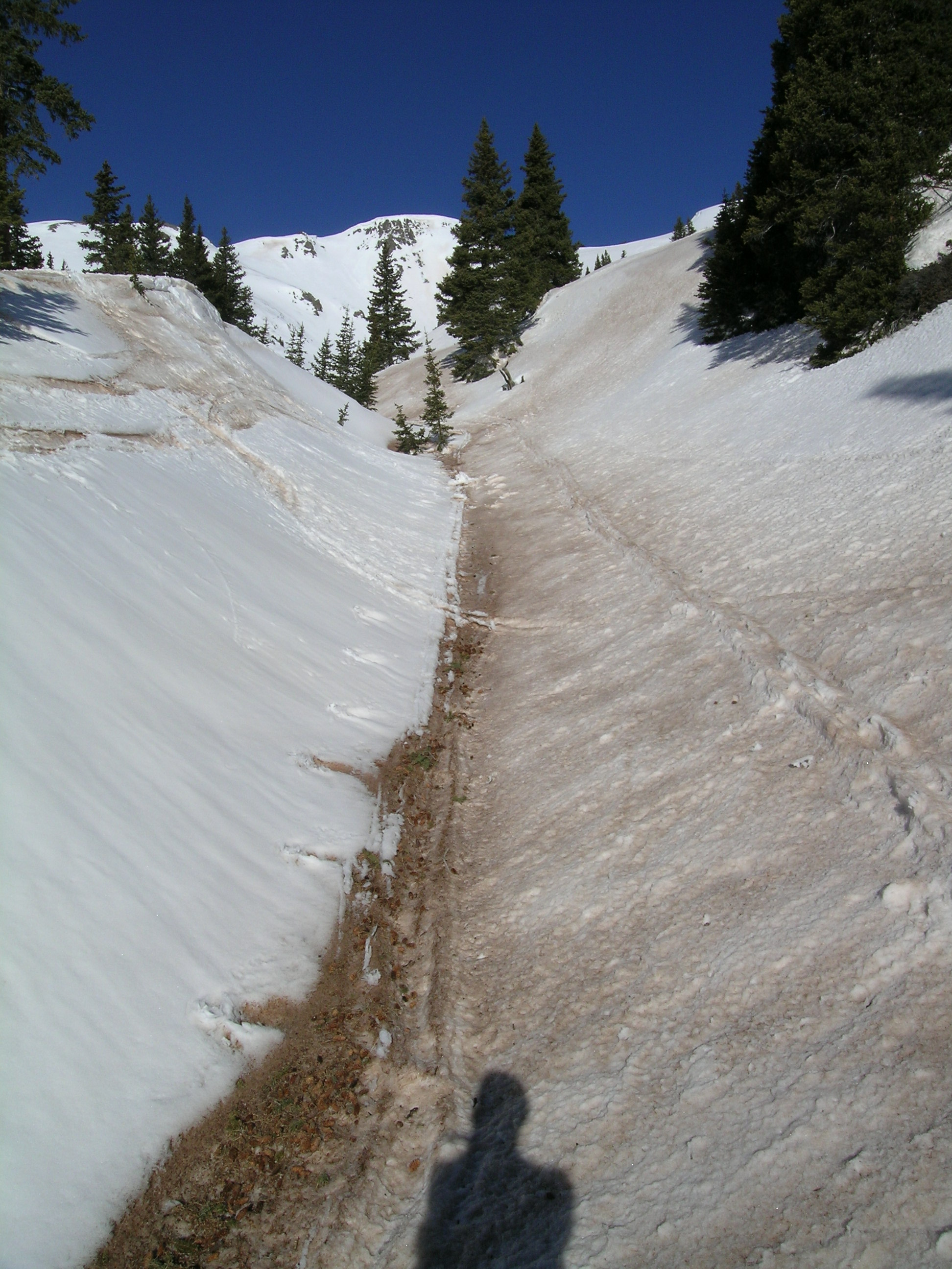
May 5, 2013
near Senator Beck Study Plot

May 5, 2013
Andrew Temple looks out from Peak 13,510' on the western boundary of Senator Beck Basin. The same photo was taken May 2009 for comparison.
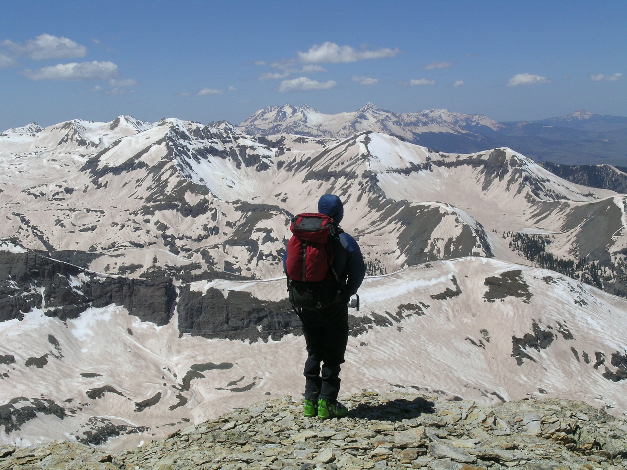
May 12, 2009
Andrew Temple looks out from Peak 13,510' on the western boundary of Senator Beck Basin. The same photo was taken May 2013 for comparison.

May 5, 2013
Andrew Temple pointing to the difference between dusty snow surface and cleaner snow on the left that is overlying the dust layer.
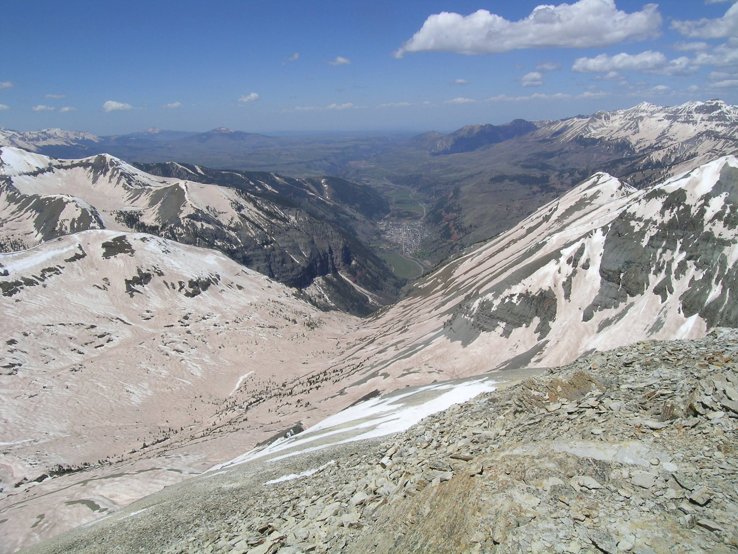
May 12, 2009
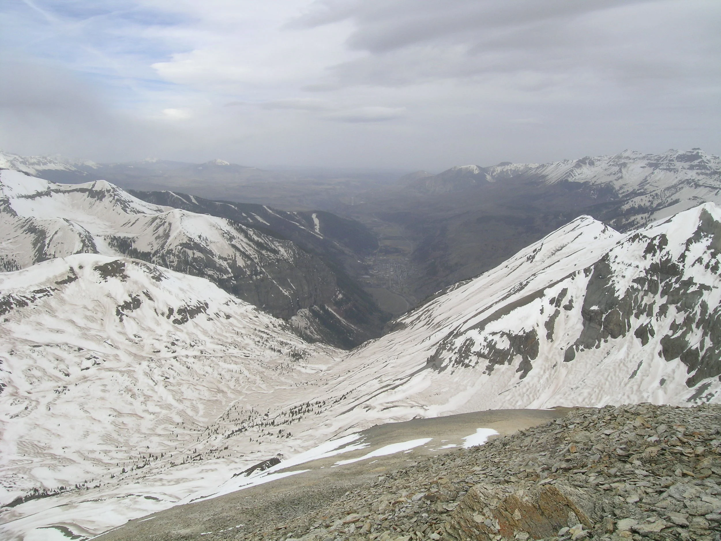
The view down to Telluride from Peak 13,510' on the western boundary of Senator Beck Basin. The same photo was taken May 2013 for comparison.
May 5, 2013
The view down to Telluride from Peak 13,510' on the western boundary of Senator Beck Basin. The same photo was taken May 2009 for comparison.
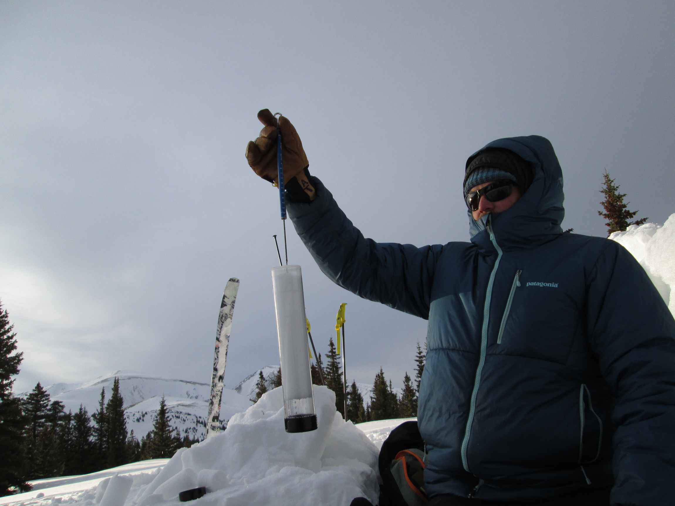
March 29th, 2014

May 21, 2014
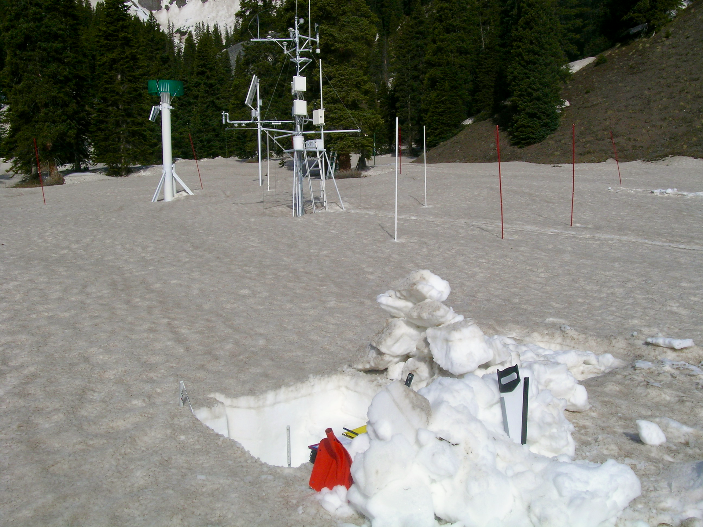
Andrew Temple approaching the Senator Beck Study Plot, at 12,180’. Dust layer D8 was widespread and is clearly evident on the snow surface to the right of the tower. The very dirty patches below the distant ridgeline are merged D3-D8 dust. Much of the dust in the alpine terrain in Senator Beck Basin is still buried underneath Storm #23 and #24 snow but dust layer D8 is accelerating the ablation of that cleaner snow.
May 13th, 2013
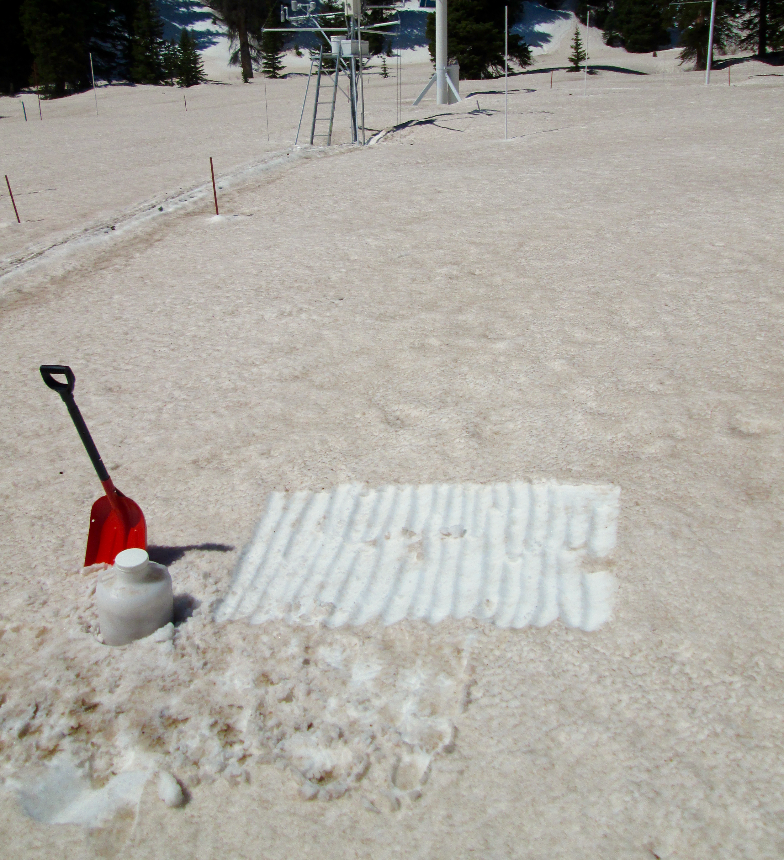
May 28th, 2014
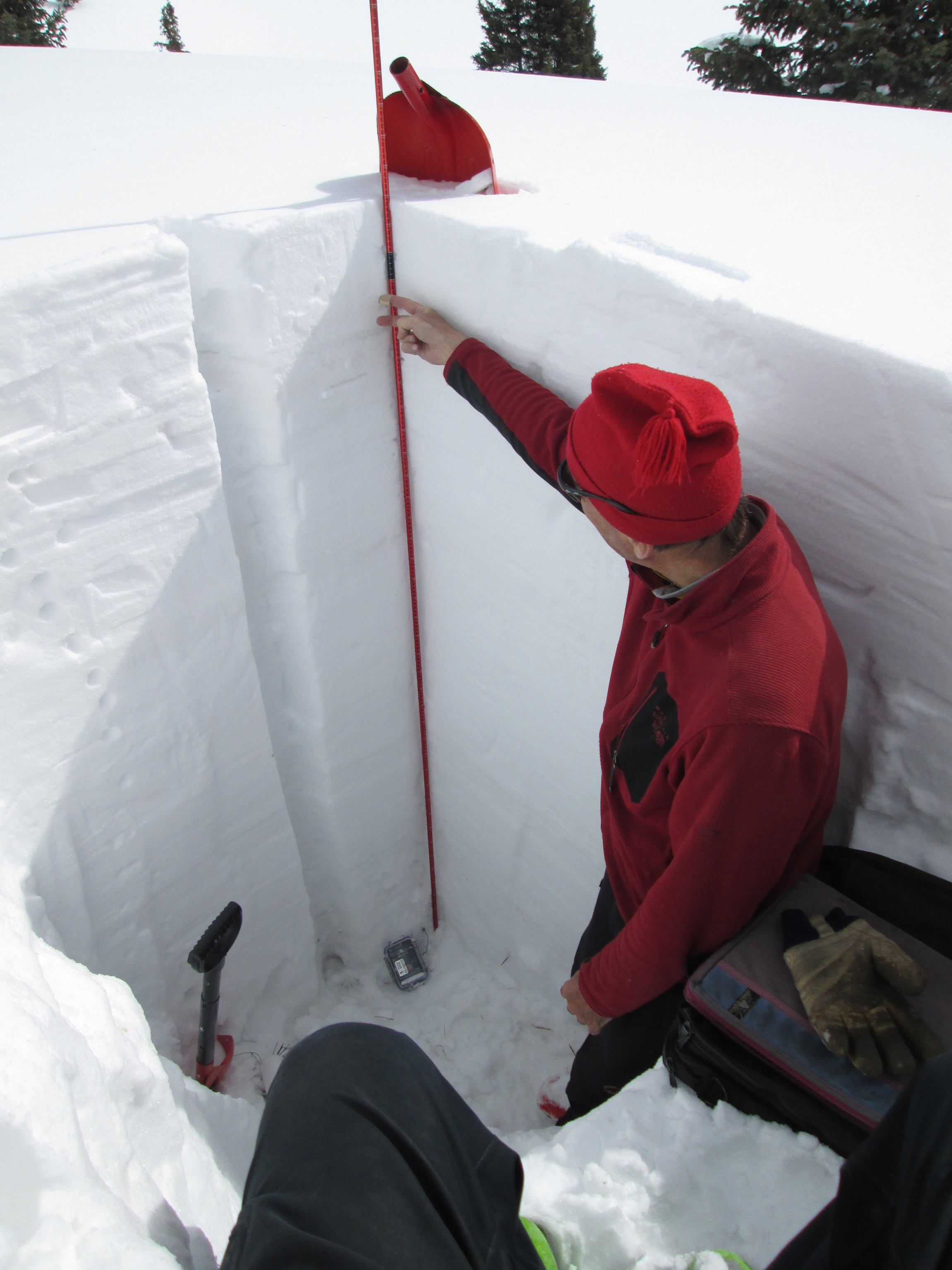
March 30th, 2014
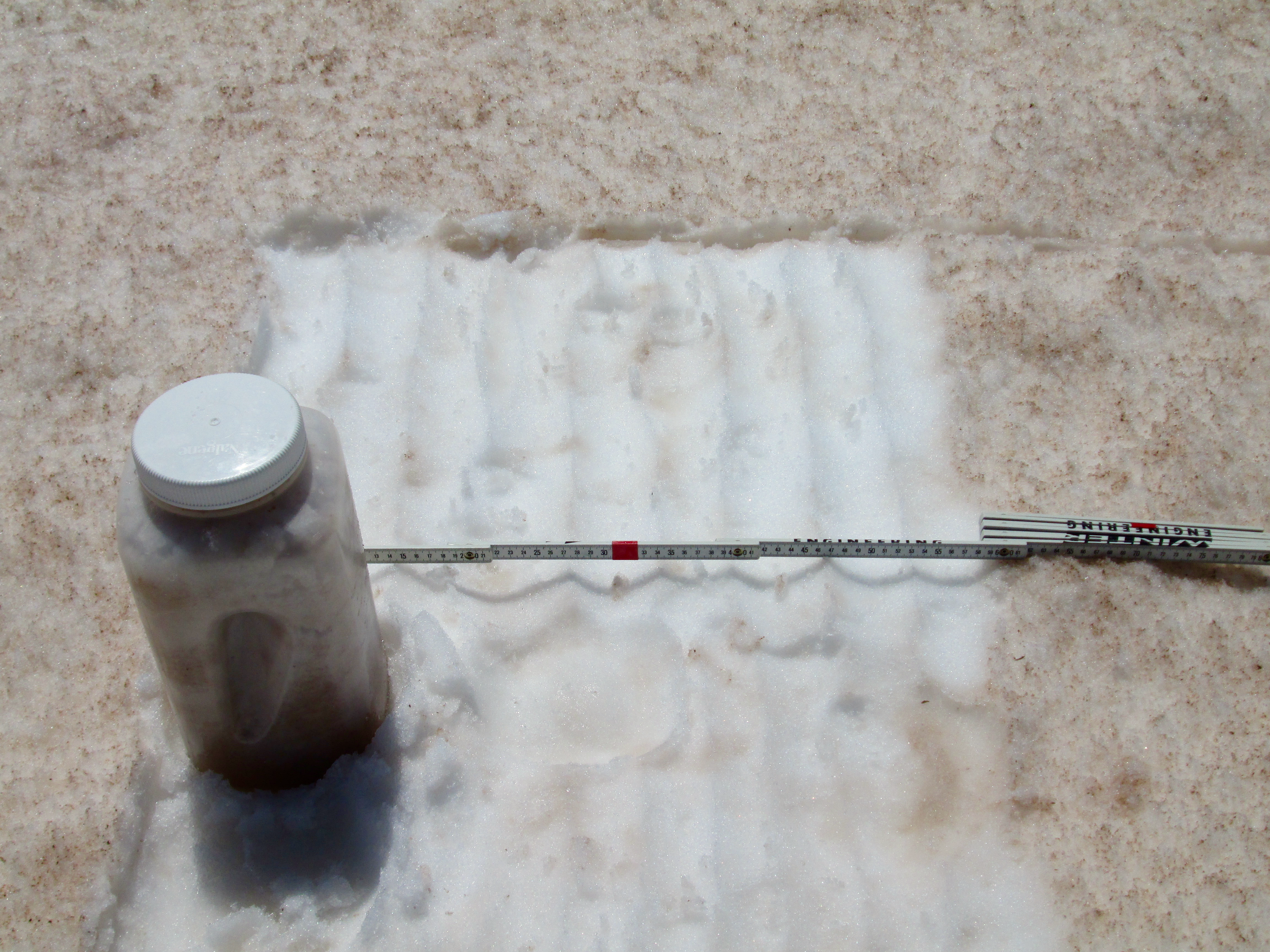
June 2nd, 2014
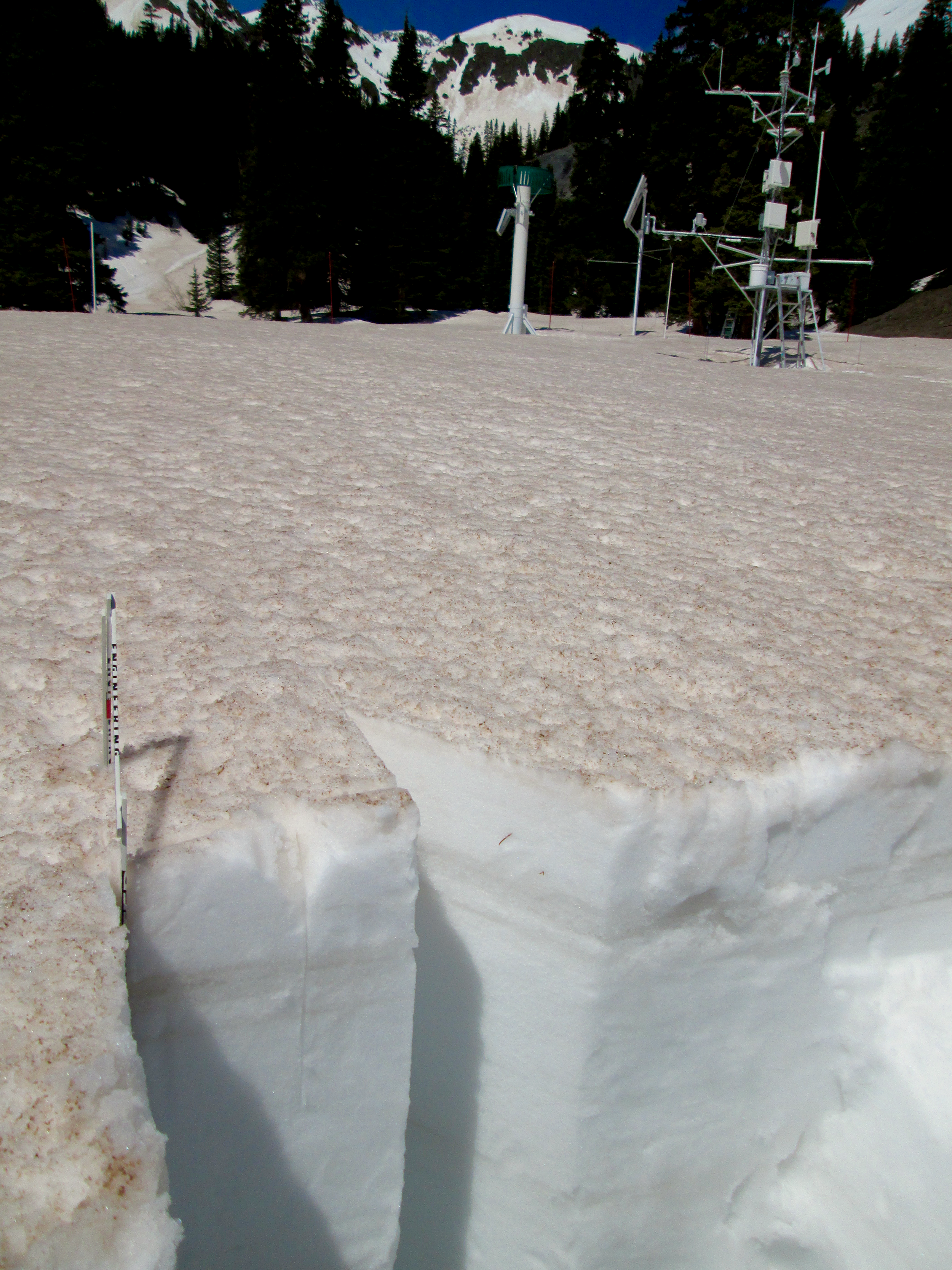
May 21, 2014
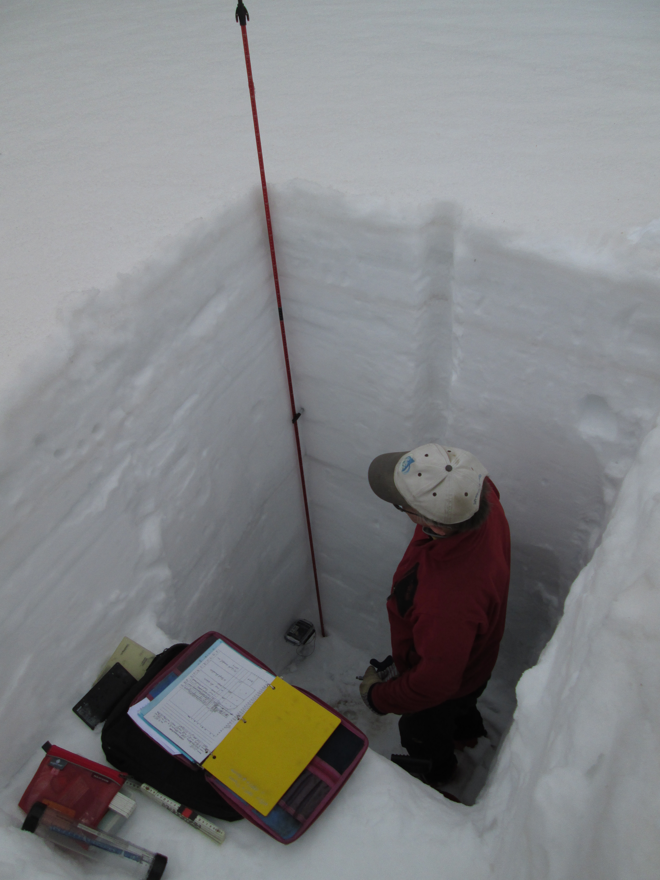
April 25th, 2014
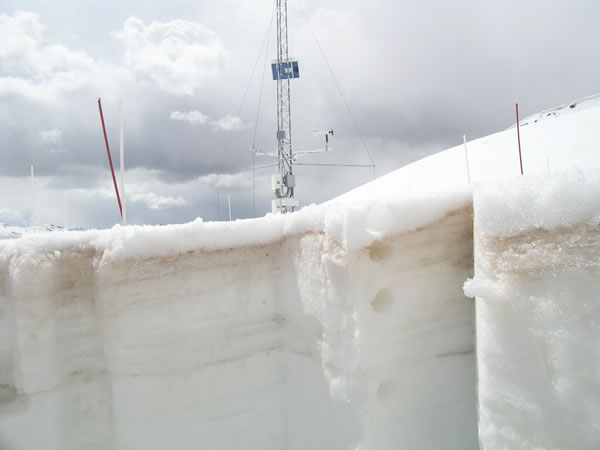
April 19, 2010
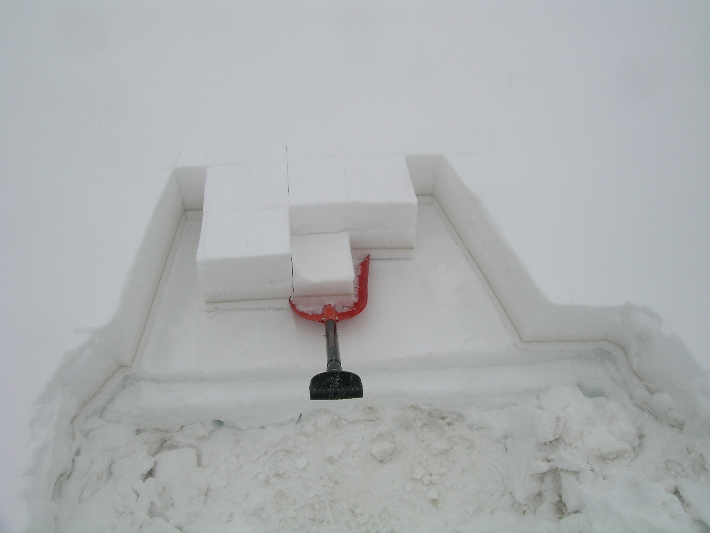
April 9th, 2013

April 5, 2011
Gravimetric sampling of dust-in-snow at Senator Beck Study Plot.
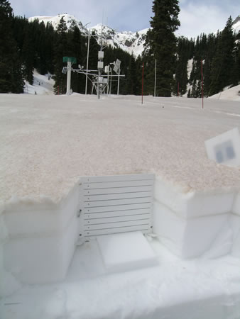
April 20, 2010
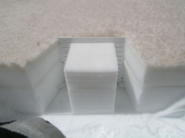
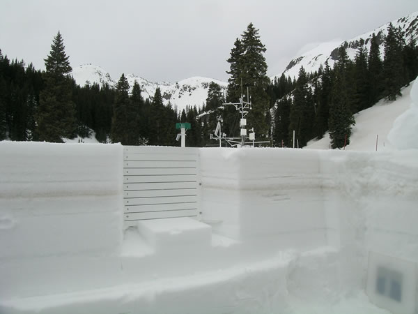
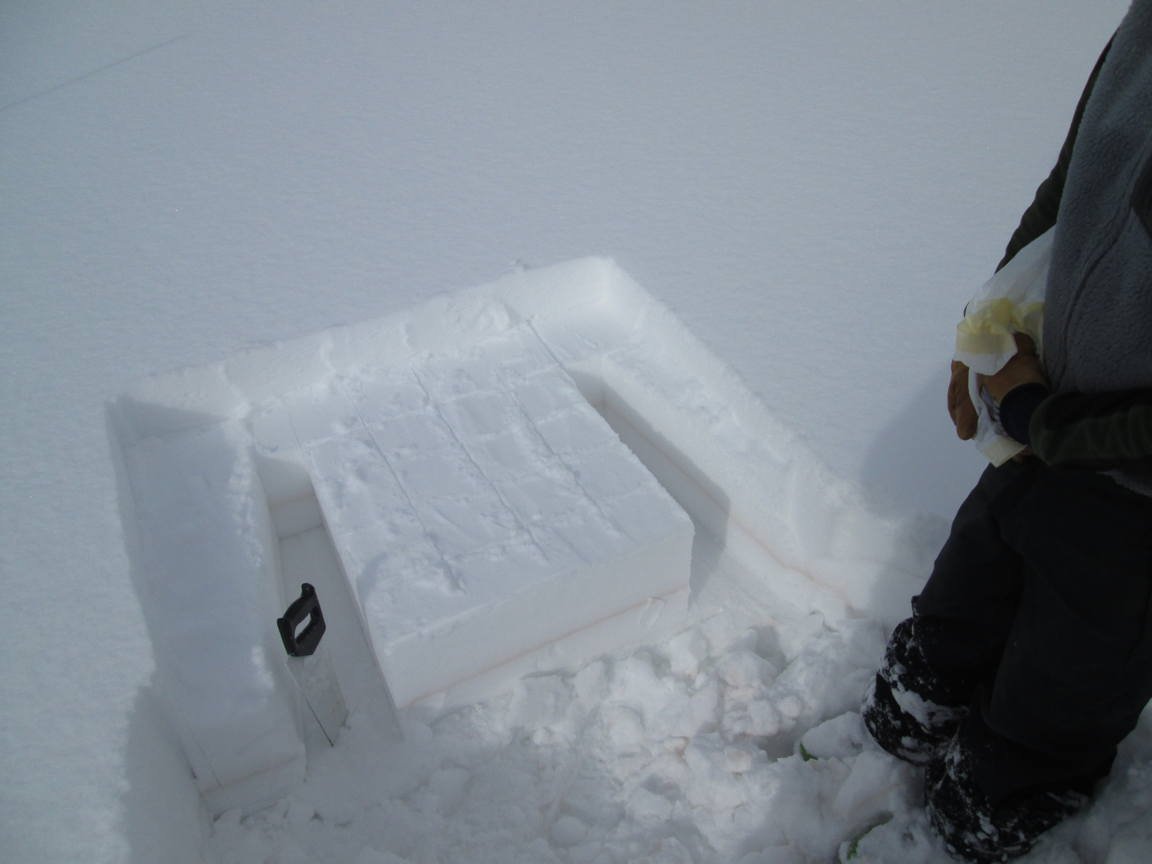
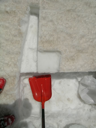
Gravimetric dust-on-snow sampling at Swamp Angel Study Plot. A .5m2 block of snow is isolated and divided into 10cm vertical increments. The 10cm deep layers are collected for dust analysis.
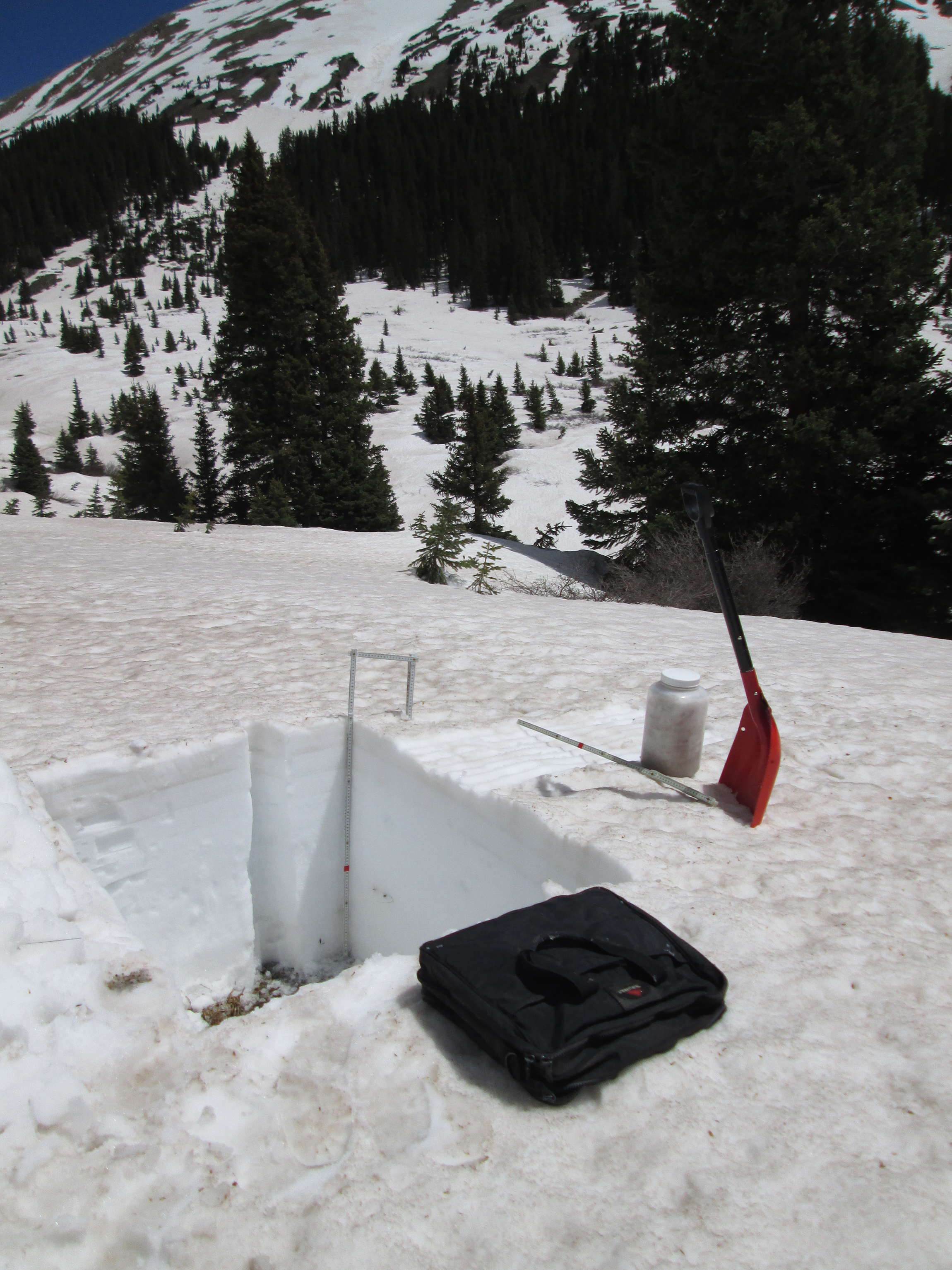
June 3rd, 2014
April 20, 2010
Gravimetric dust-on-snow sampling at Swamp Angel Study Plot. A .5m2 block of snow is isolated and divided into 10cm vertical increments. The 10cm deep layers are collected for dust analysis.
April 6, 2011
Gravimetric dust-on-snow sampling at Swamp Angel Study Plot. A .5m2 block of snow is isolated and divided into 10cm vertical increments. The 10cm deep layers are collected for dust analysis.
April 23, 2011
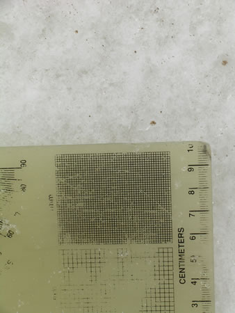
Dust particles on the snow surface with snow crystal card for scale.
March 28th, 2014
June 3, 2011
Dust-on-Snow sampling at Swamp Angel Study Plot in Senator Beck Basin.
June 6, 2011

May 12, 2009
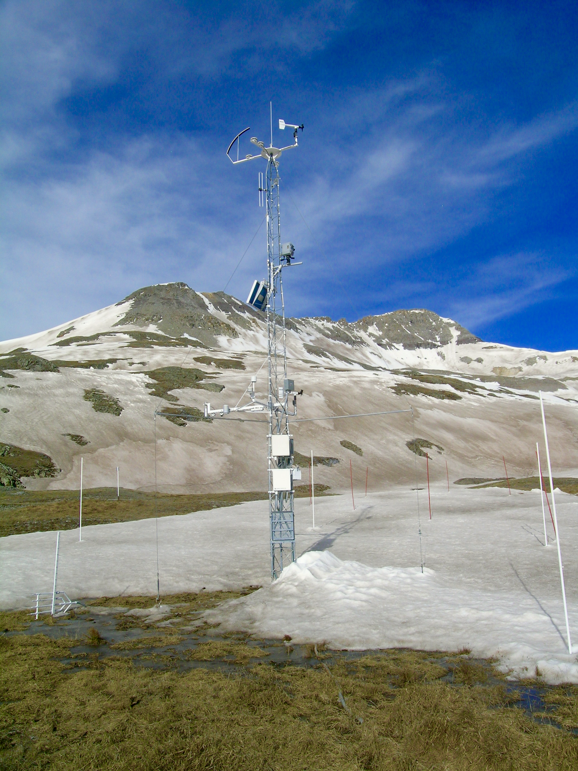
Instrument tower at Senator Beck Study Plot
May 21, 2014
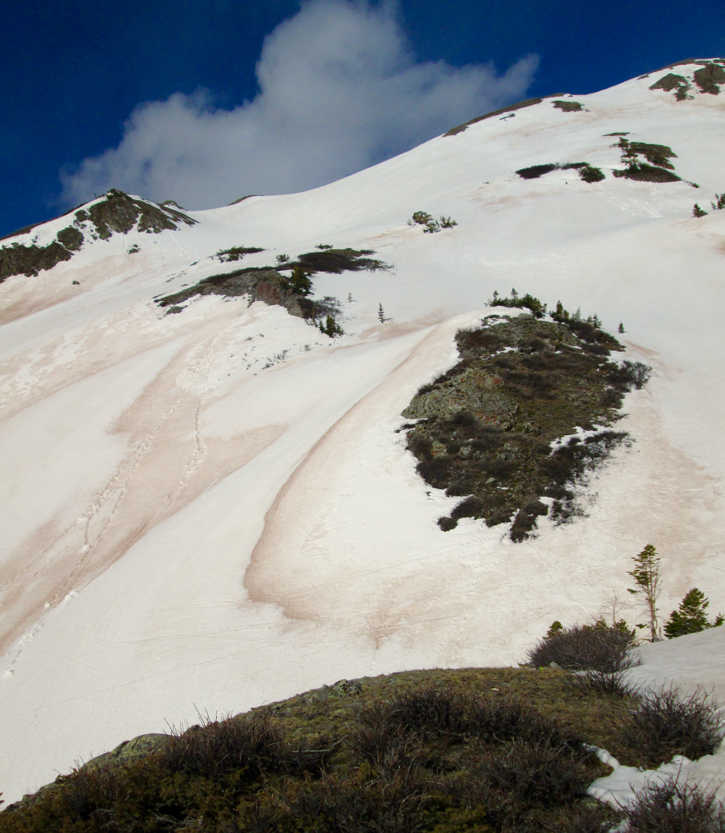
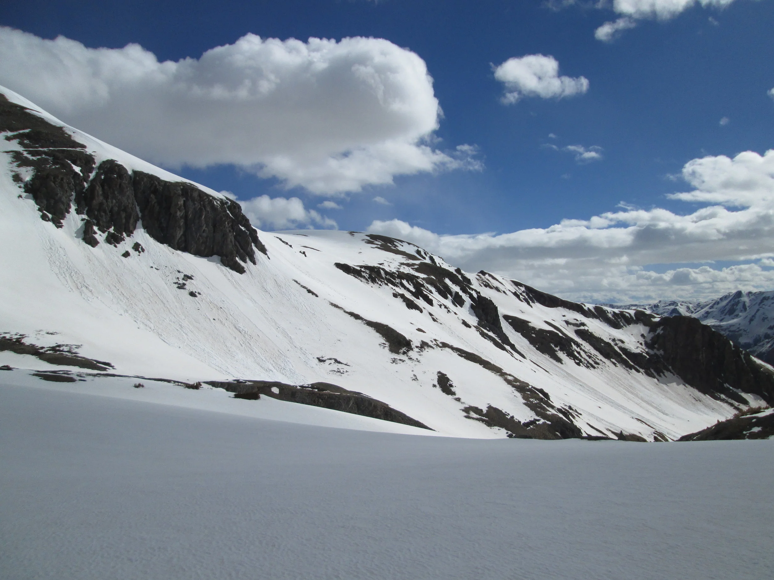
On south and southeast aspects in Senator Beck Basin, absorption of solar energy in dust layer D8 produced enough melt to initiate extensive “wet-loose” avalanches scouring down to the underlying merged D3-7 dust layer.
April 4th, 2014
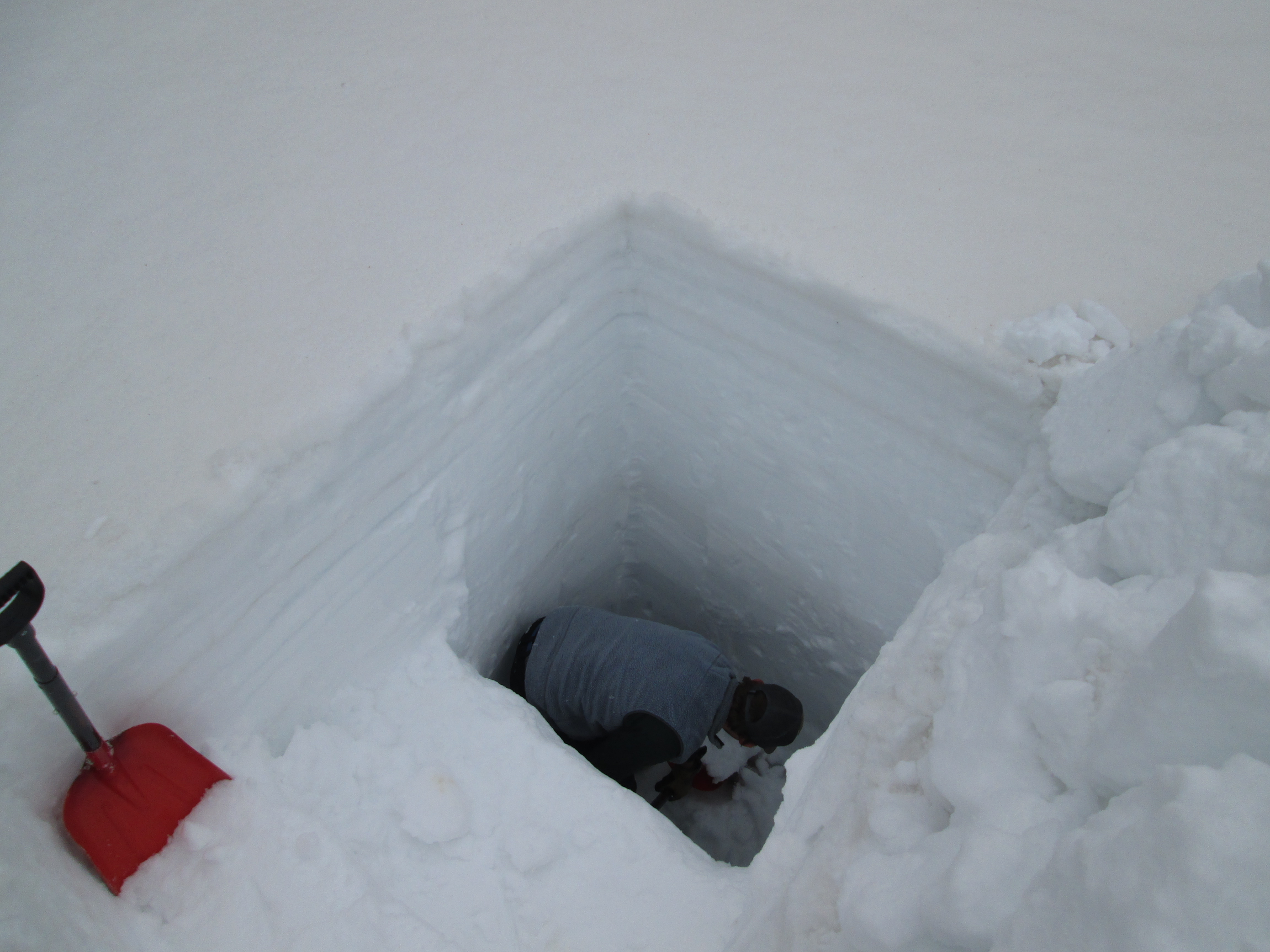
April 25th, 2014
April 20, 2010
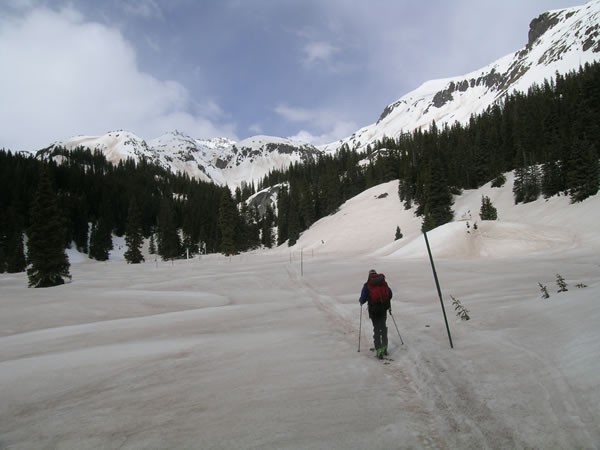
Andrew Temple skis into Swamp Angel Study Plot on a dusty snow surface. Cleaner snow remains on mountains above with dust underneath.
April 20, 2010
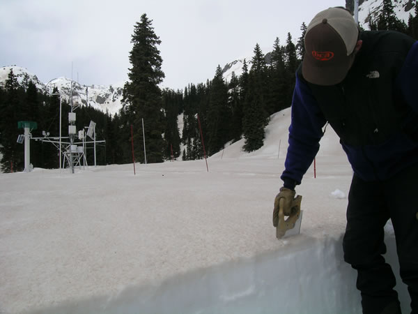
Andrew Temple sawing pit face at Swamp Angel Study Plot.

May 5, 2013
Andrew Temple pointing to the difference between dusty snow surface and cleaner snow on the left overlying the dust layer.
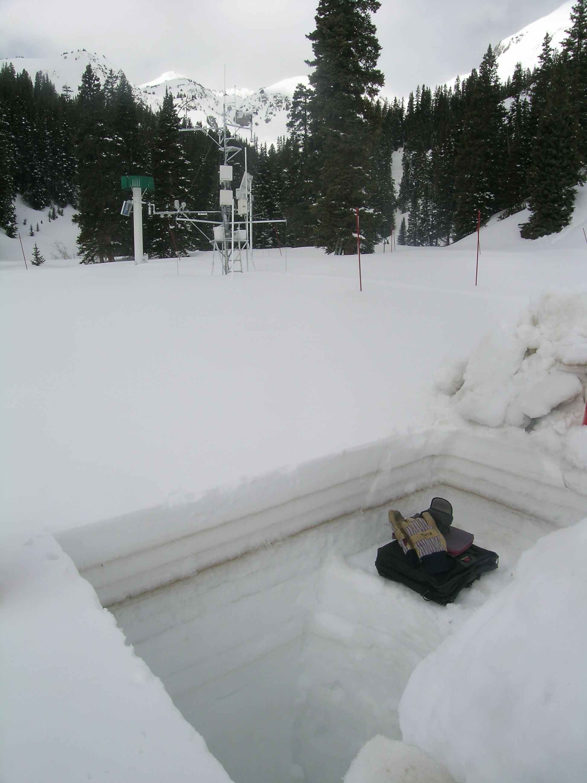
April 22nd, 2013

May 5, 2013
View from near Peak 13,510' on the western boundary of Senator Beck Basin

May 5, 2013
View from near Peak 13,510' on the western boundary of Senator Beck Basin
April 8th, 2013
March 29th, 2014

May 12, 2009
Doctoral student Annie Bryant collects dust-in-snow samples at Senator Beck Basin Study Plot.
May 28th, 2014


