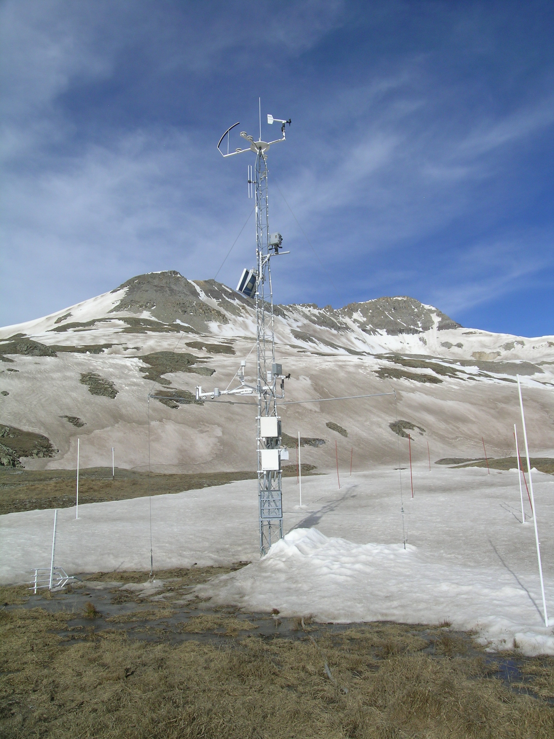
May 27, 2013
Senator Beck Study Plot a few days before reaching "Snow All Gone"

May 13, 2013
Chris Landry beginning the collection process, measuring a 0.5m2 sample of the merged dust layers on the snow surface at Swamp Angel Study Plot. Dust in this sample weighed 50g/m2; The albedo was 0.35 as compared to 0.28 for bare ground at this site.

May 13, 2013
Collecting a 0.5m2 sample of the merged dust layers on the snow surface at Swamp Angel Study Plot. Dust in this sample weighed 50g/m2; The albedo was 0.35 as compared to 0.28 for bare ground at this site.

May 13, 2013
Collecting a 0.5m2 sample of the merged dust layers on the snow surface at Swamp Angel Study Plot. Dust in this sample weighed 50g/m2; The albedo was 0.35 as compared to 0.28 for bare ground at this site.

May 6, 2013
Snow pit face at Swamp Angel Study Plot with most dust layers merged just below the fresh snow.

May 5, 2013
Andrew Temple looking WSW from Peak 13,510' on the western boundary of Senator Beck Basin. The same photo was taken in May 2009 for comparison.

May 5, 2013
View looking westward from Peak 13,510' down to Telluride on the western boundary of Senator Beck Basin.

May 5, 2013
Andrew Temple pointing to the difference between dusty snow surface and cleaner snow on the left that is overlying the dust layer.

May 5, 2013
Dusty snow surface with cleaner snow on the left that continues to overlay the dust layer.

May 5, 2013
Andrew Temple skis through dust-induced surface roughness towards Senator Beck Study Plot

May 5, 2013
Dust-induced surface roughness near Senator Beck Study Plot

April 30, 2013
Swamp Angel Study Plot with WY D9 dust event at the surface. Most other dust layers have merged underneath.

April 24, 2013
Clean wind-blown snow cover over dust layer near Senator Beck Basin Study Plot.

April 22, 2013
Snow pit face at Swamp Angel Study Plot, with D6 dust layer being the most prominent.

April 19, 2013
Pit face at Swamp Angel Study Plot after collecting samples. The most prominent dust layer is the D6 dust event that measured 47g/m2.

April 18, 2013
Swamp Angel Study Plot with fresh snow overlying D8 dust event.

April 16, 2013
Andrew Temple digs a pit at Swamp Angel Study Plot shortly after the D8 dust event.

April 16, 2013
Dust event D8 at the surface at Swamp Angel Study Plot.

April 2013
Depiction of the amount of dust in the WY 2013 D6 event (April 8) as measured at Swamp Angel Study Plot. The dust for this photo was collected at one of the source areas in the Little Colorado River basin.

April 9, 2013
Andrew Temple skis out from Swamp Angel Study Plot hauling the D6 snow samples in orange trash bags.

April 9, 2013
Dust event D6 in the snowpack, 1 day after the dust event with clean snow on top.

April 9, 2013
Sampling dust event D6 (April 8). Sample size is 0.5m2 of snow surface.

April 9, 2013
Sampling dust event D6 (April 8). Sample size is 0.5m2 of snow surface.

April 9, 2013
Sampling dust event D6 (April 8). Sample size is 0.5m2 of snow surface.

April 9, 2013
Silverton, CO: Dust was evident on cars the morning after the D6 dust event. Clean snow fell immediately after the dust event.

April 9, 2013
Silverton, CO: Dust was evident on cars the morning after the D6 dust event. Clean snow fell immediately after the dust event.

View from Silverton, CO during the D6 dust storm.

April 8, 2013
View from Silverton, CO during the D6 dust storm.

April 8, 2013
View from Silverton, CO during the D6 dust storm.

April 8, 2013
View from Silverton, CO during the D6 dust storm.

March 25, 2013
Manually measuring snow water equivalent (SWE). Measurements continue to the bottom of the snowpack.

March 25, 2013
Sampling snowpack for dust after the D5 dust event

Dec 20, 2012
Uplooking radiometers at Swamp Angel Study Plot.


